Trails near Rezzato
169 hikes starting within 15 km, nearest first.
Nearest first, page 2 of 4
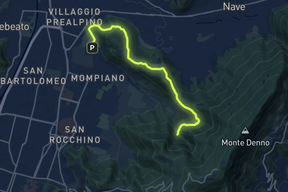
Medium · Cabin
Brescia (Via San Cristoforo) – Rifugio Valle di Mompiano
12.0 km · ↑ 345 m · 3 h 35 min · 9 km away
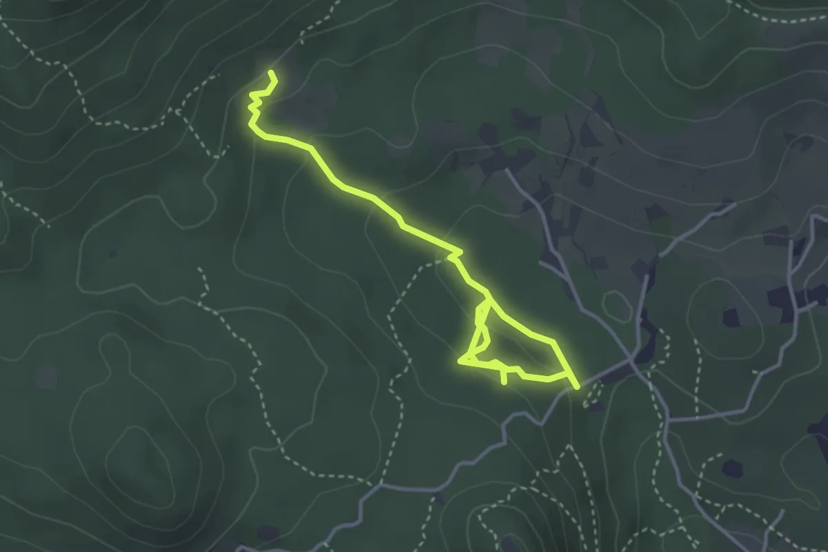
Easy · Trail
Sentiero degli Omber
2.2 km · ↑ 40 m · 40 min · 9 km away
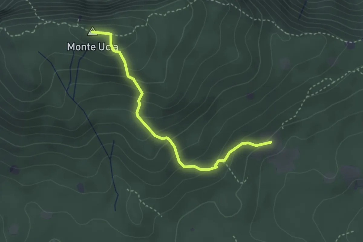
Easy · Summit
Serle (Cascina del Comune) - Corna di Caino
3.1 km · ↑ 265 m · 1 h 19 min · 9 km away
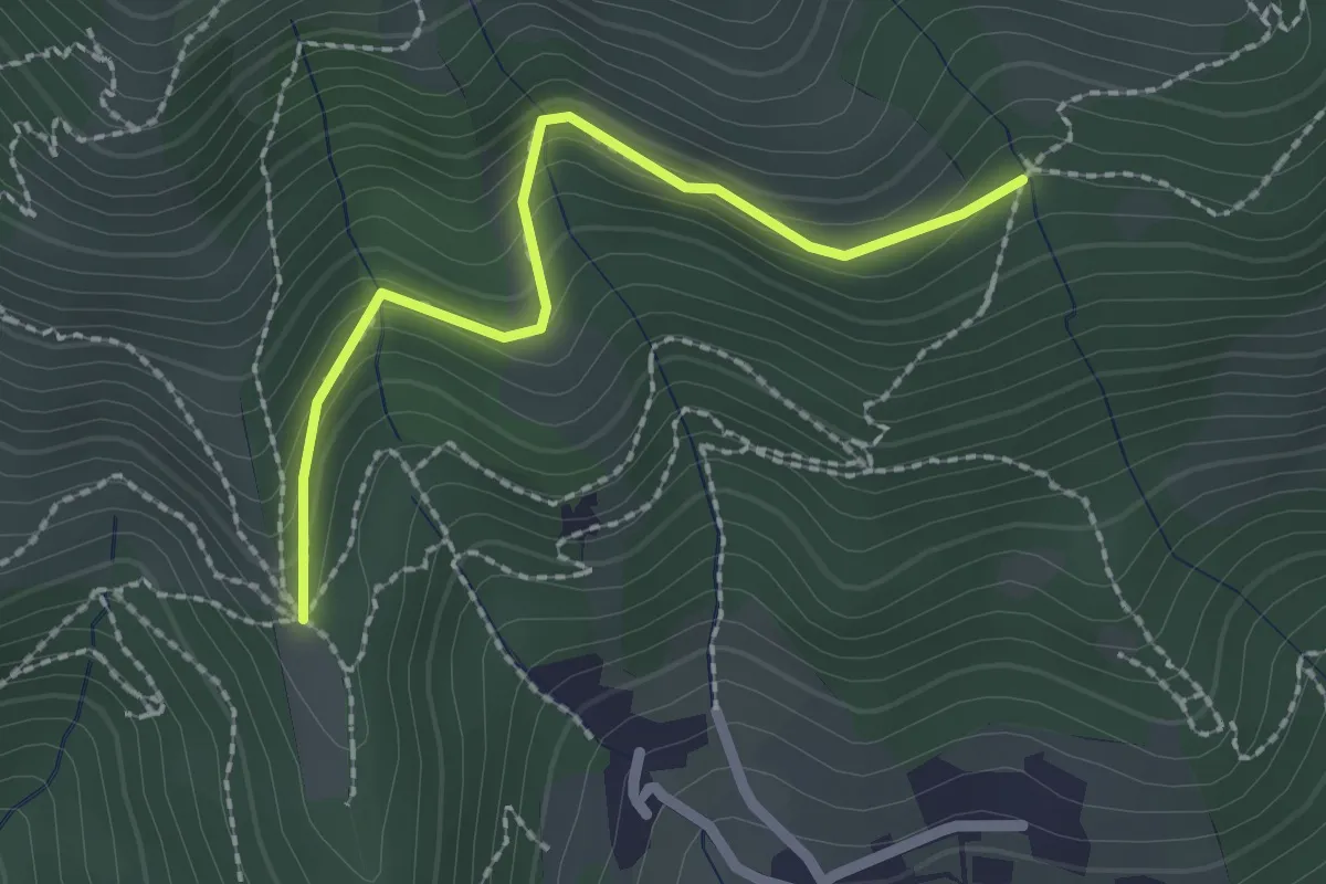
Easy · Trail
Nave (Cascina Mezzana) - Pozza Cà del Lì (Innesto Sentiero 392)
2.1 km · ↑ 177 m · 53 min · 10 km away
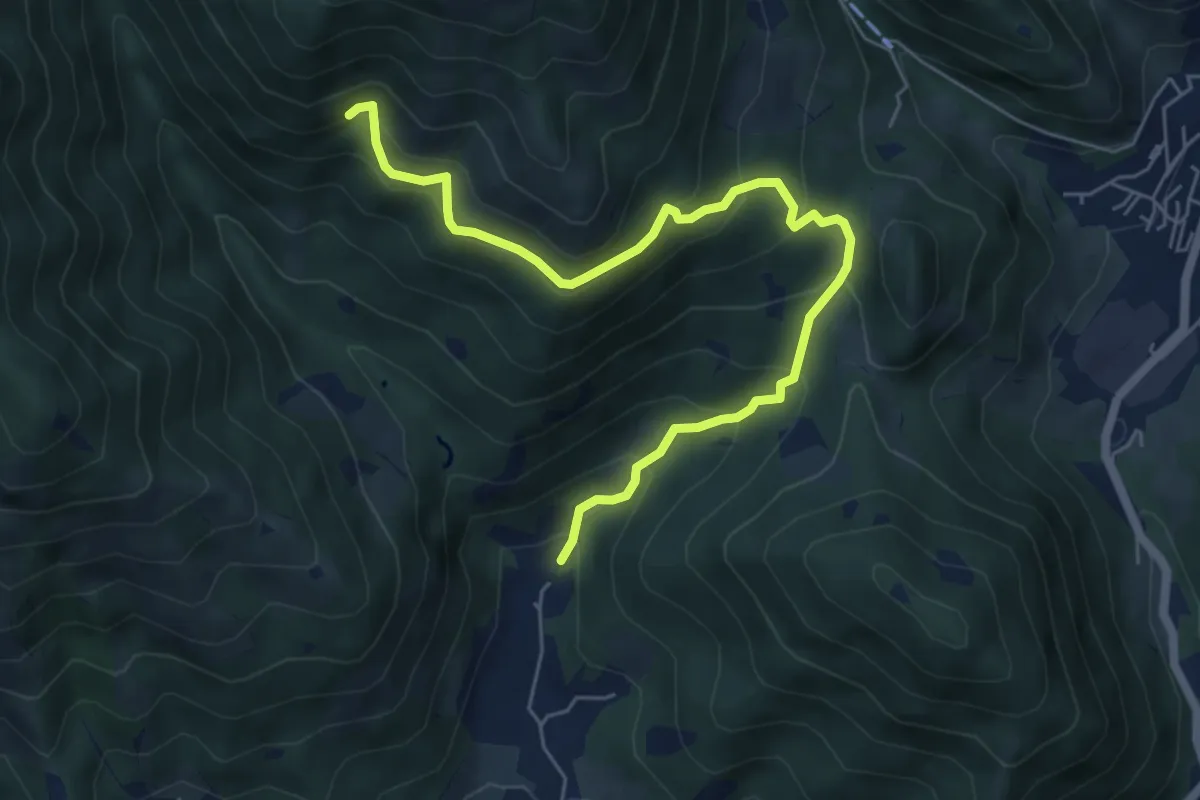
Medium · Trail
Nave (Piezze) - Sant'Antonio - Innesto Sentiero 354
6.7 km · ↑ 527 m · 2 h 44 min · 10 km away
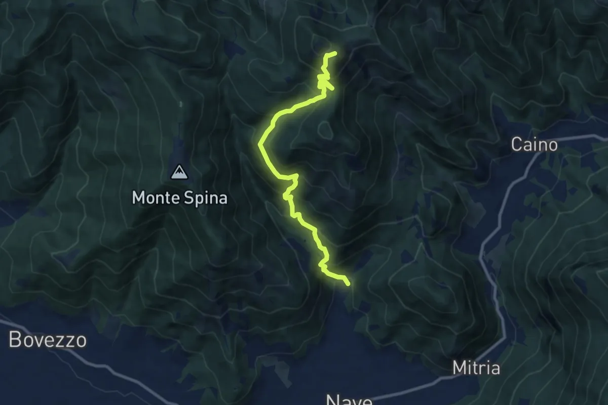
Demanding · Summit
Nave (Piezze) - Santuario di Conche
9.1 km · ↑ 901 m · 4 h 6 min · 10 km away
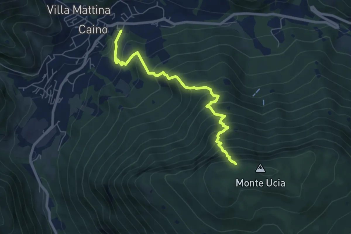
Demanding · Trail
Caino – Monte Ucia (Innesto Sentiero 391)
5.7 km · ↑ 736 m · 2 h 56 min · 10 km away
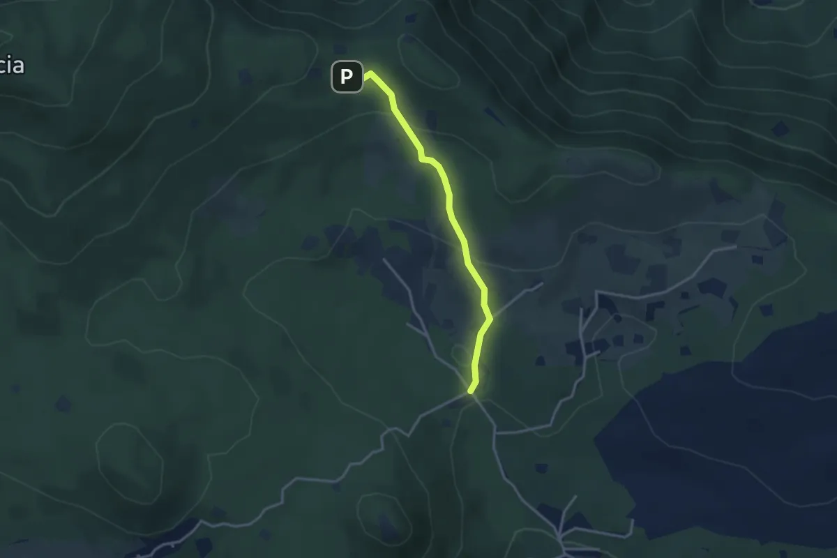
Easy · Cabin
Serle (Rifugio Alpini di Serle) - Monte Ucia - Corna di Caino
2.9 km · ↑ 122 m · 57 min · 10 km away
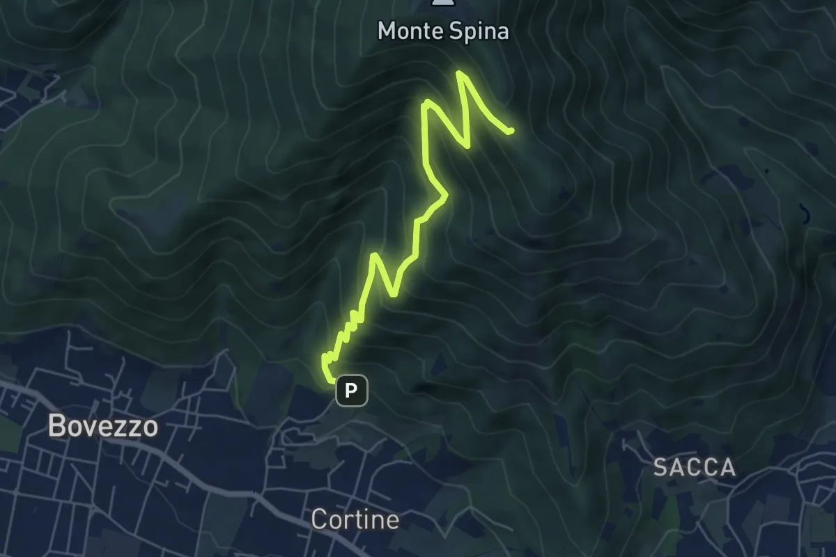
Medium · Cabin
Nave (Cortine - Albergo dei Poveri) – Roccolo Squassina
6.2 km · ↑ 586 m · 2 h 45 min · 10 km away
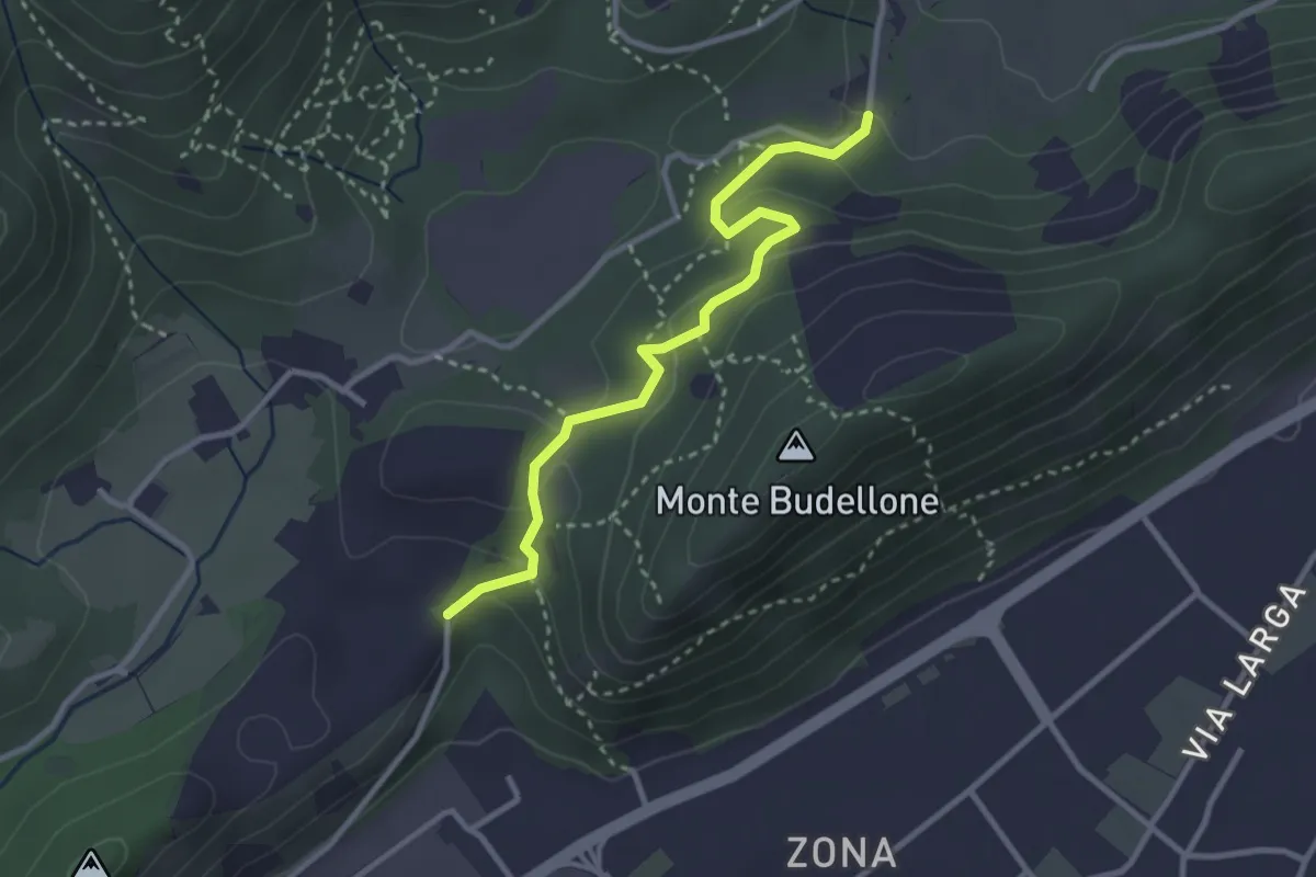
Easy · Trail
La Via del marmo - Prevalle (Buco del Frate)
3.1 km · ↑ 132 m · 1 h 1 min · 10 km away
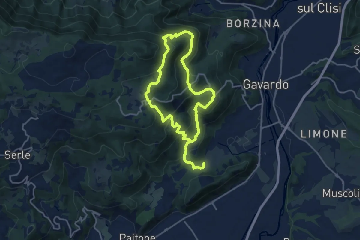
Medium · Summit
Sentiero Mario Merelli
9.5 km · ↑ 548 m · 3 h 31 min · 10 km away
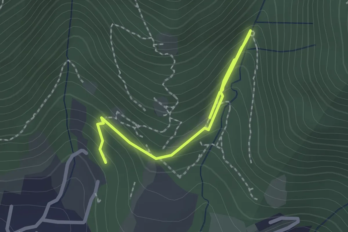
Medium · Trail
Percorso botanico
2.7 km · ↑ 231 m · 1 h 9 min · 10 km away
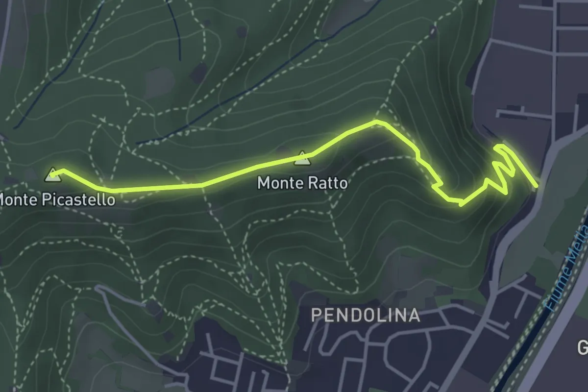
Medium · Summit
Collebeato (Via Roma) – Monte Picastello
4.1 km · ↑ 191 m · 1 h 24 min · 10 km away
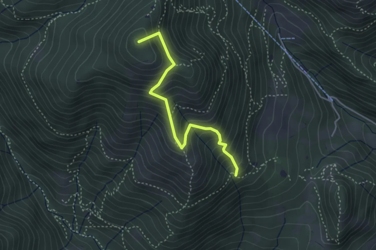
Medium · Summit
Sentiero Nunzio Tocchini
3.4 km · ↑ 371 m · 1 h 36 min · 10 km away
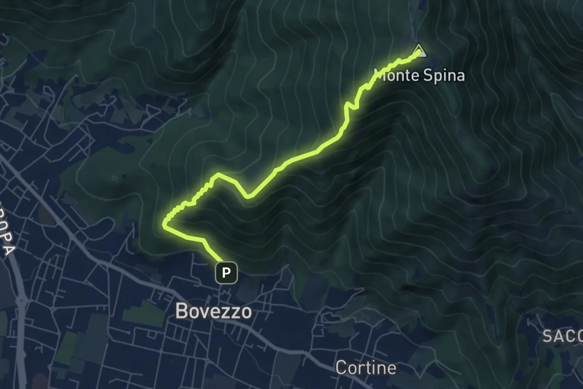
Medium · Summit
Bovezzo (Via Castello) – Sant'Onofrio
6.9 km · ↑ 705 m · 3 h 10 min · 11 km away
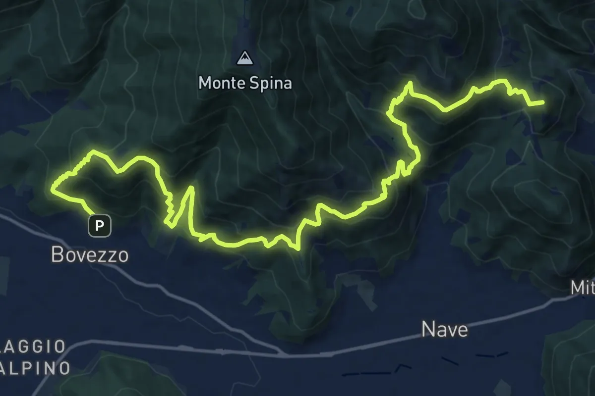
Demanding · Summit
Sentiero del Marrone
20.2 km · ↑ 1796 m · 8 h 40 min · 11 km away
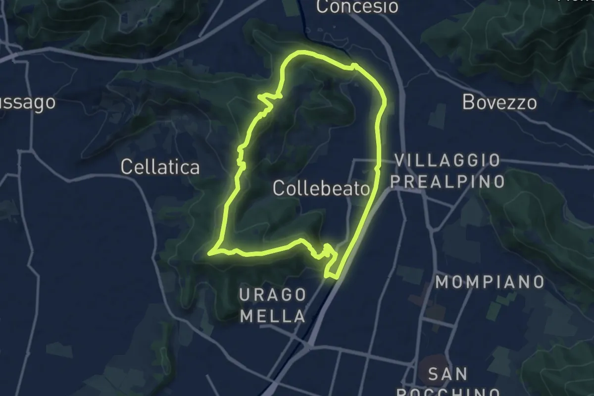
Demanding · Summit
Periplo di Collebeato - Sentiero del Gian (Gianpietro Nicolini)
11.3 km · ↑ 415 m · 3 h 44 min · 11 km away
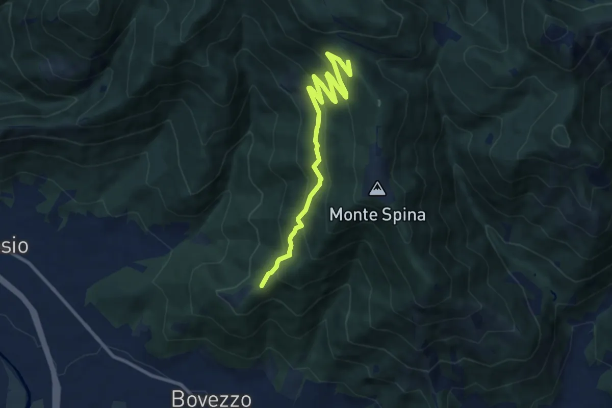
Medium · Trail
Bovezzo (Santella delle Pentere) – Strada del Sant'Onofrio
8.5 km · ↑ 469 m · 3 h 1 min · 11 km away
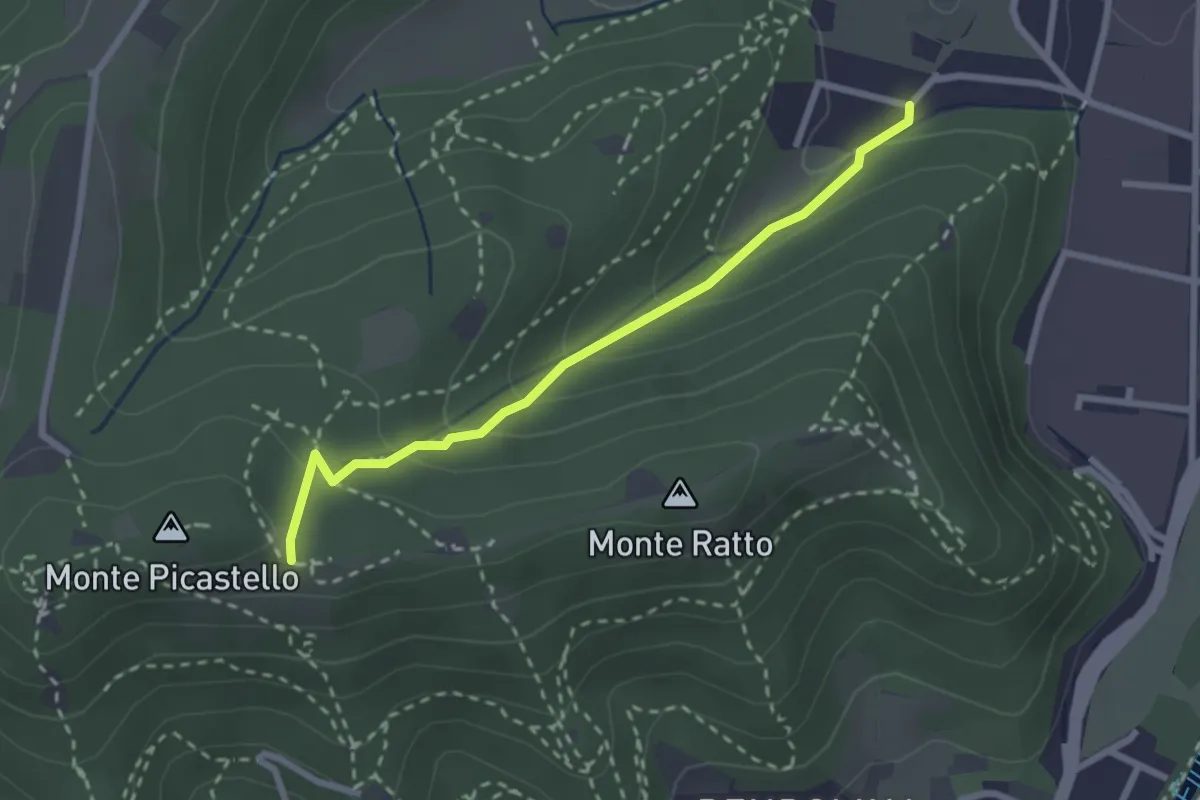
Easy · Trail
Collebeato (Campo de Carlì) – Innesto Sentiero 217
2.5 km · ↑ 158 m · 56 min · 11 km away
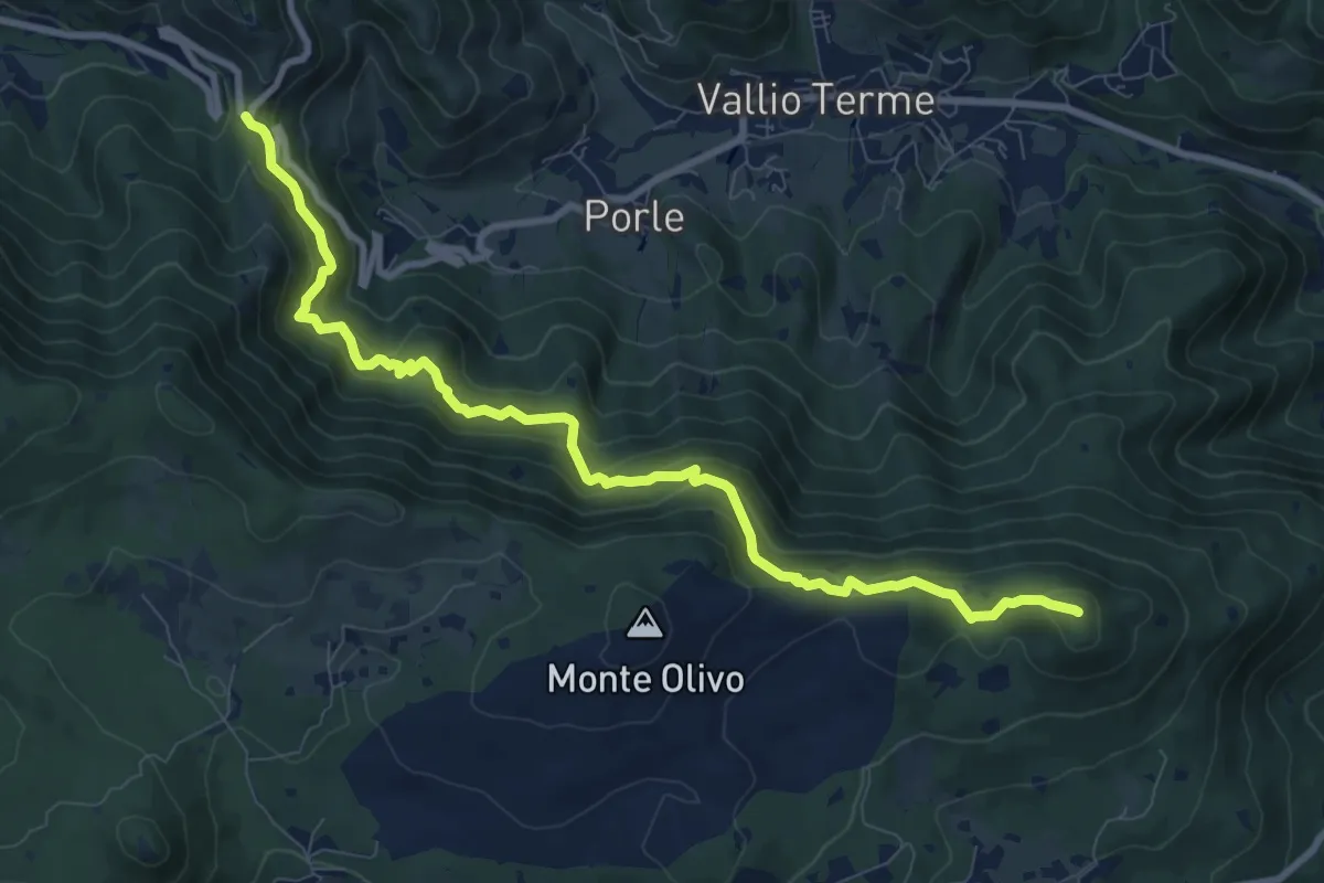
Medium · Summit
Sentér de mès
10.1 km · ↑ 629 m · 3 h 45 min · 11 km away
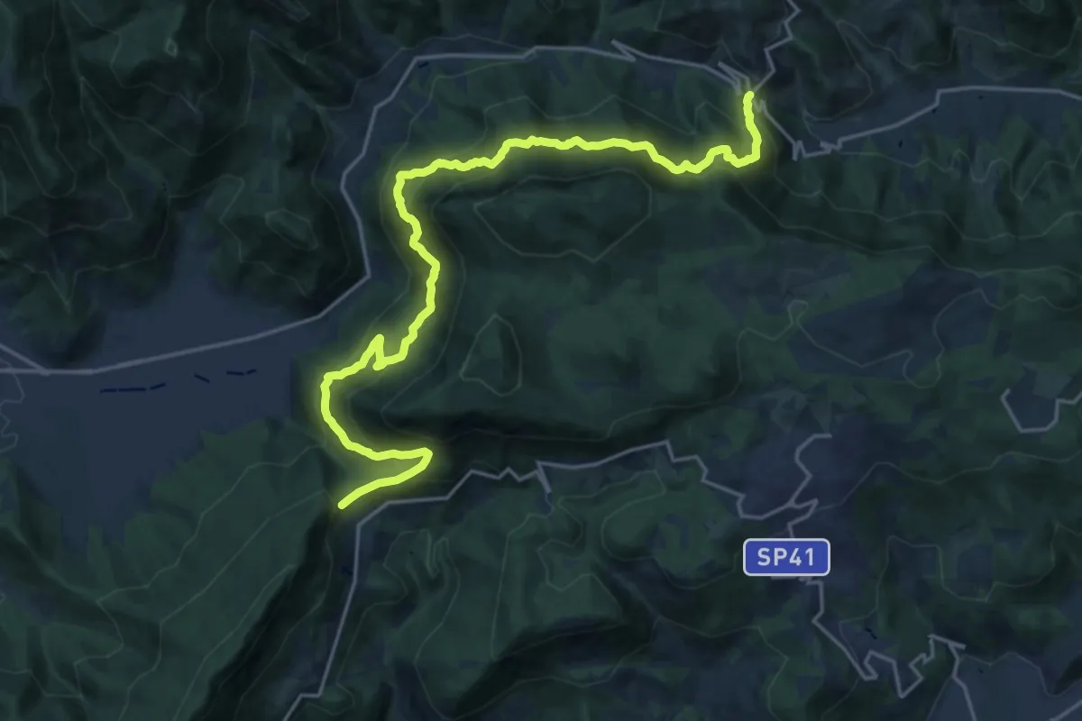
Demanding · Summit
Sentér Bandìt
22.8 km · ↑ 2084 m · 9 h 53 min · 11 km away
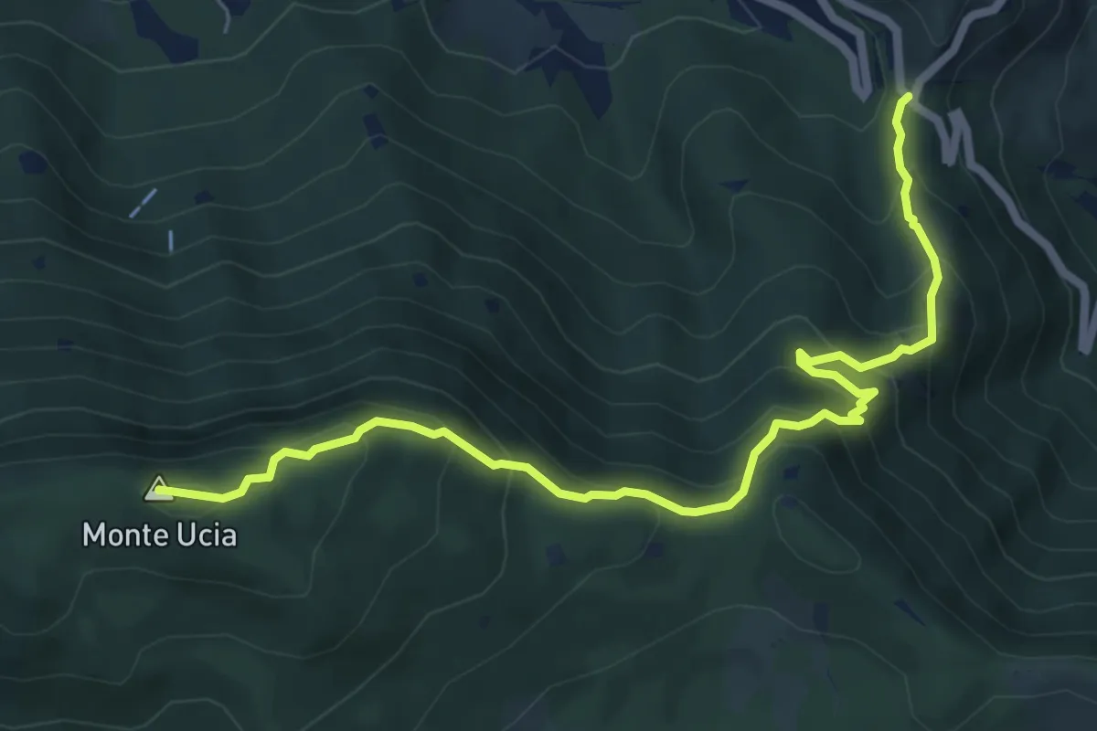
Medium · Summit
Sentiero Donna - Guarneri
7.2 km · ↑ 651 m · 3 h 7 min · 11 km away
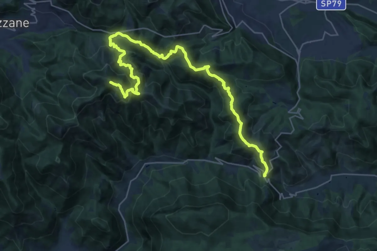
Expert · Summit
Caino (Villa Sera) – Colle di Sant'Eusebio
24.7 km · ↑ 1761 m · 9 h 39 min · 11 km away
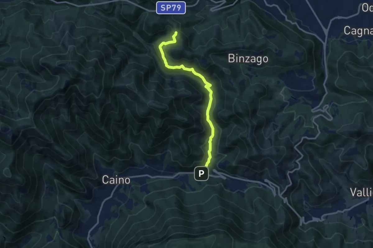
Medium · Trail
Caino (Val Bertone) – Passo Viglio
8.9 km · ↑ 525 m · 3 h 14 min · 11 km away
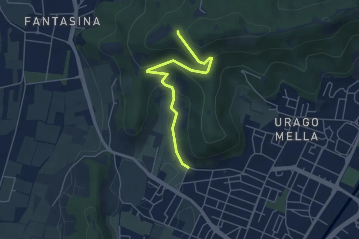
Easy · Trail
Brescia (Via Valle Bresciana) – Passo delle Crosette (Innesto Sentiero 3V)
4.0 km · ↑ 204 m · 1 h 24 min · 11 km away
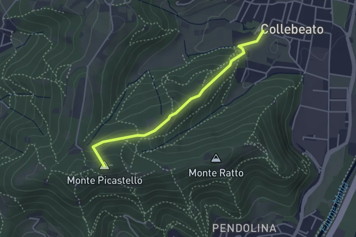
Medium · Summit
Collebeato (Via Angolo di Sotto) – Campiani (Il Merlo)
3.3 km · ↑ 178 m · 1 h 10 min · 11 km away
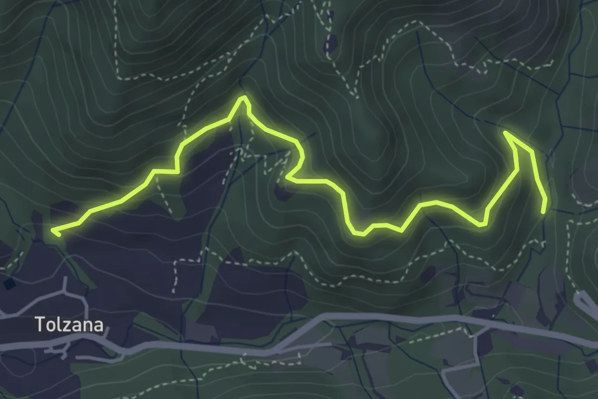
Medium · Trail
Caino (San Cap) – Val Bertone
4.9 km · ↑ 452 m · 2 h 9 min · 11 km away
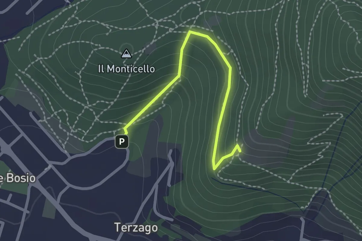
Medium · Trail
Sentiero del Marrone (Variante Concesio)
2.2 km · ↑ 137 m · 49 min · 11 km away
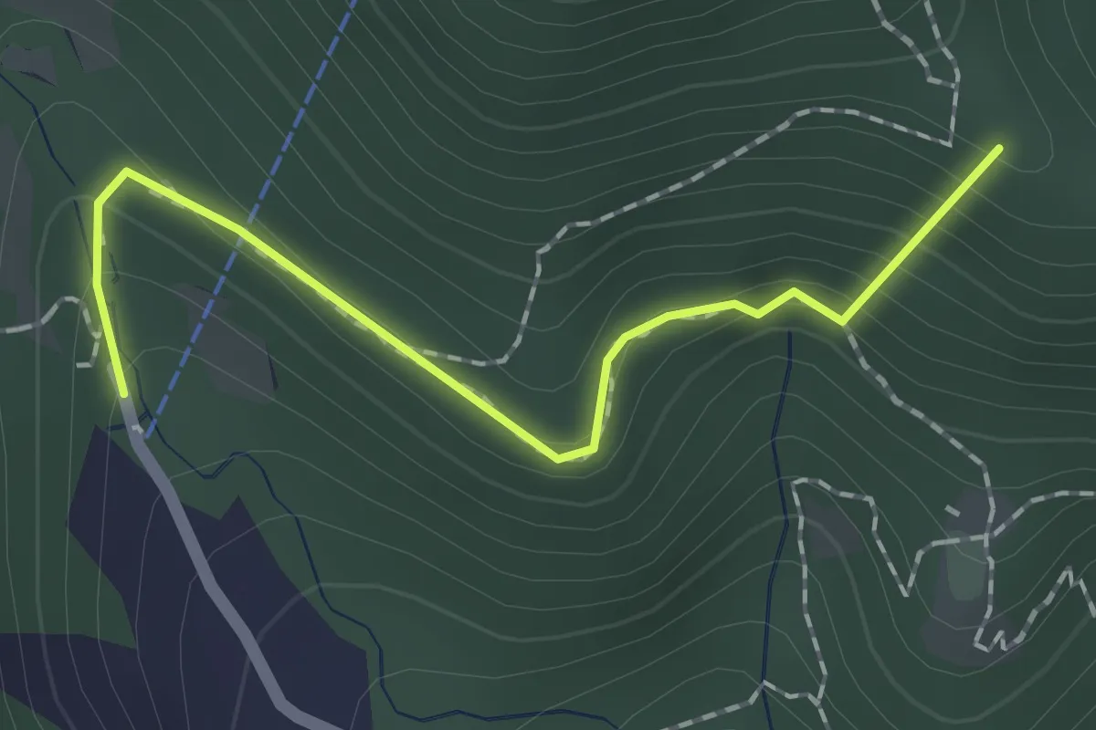
Easy · Summit
Sentiero dei Papi
1.7 km · ↑ 130 m · 42 min · 11 km away
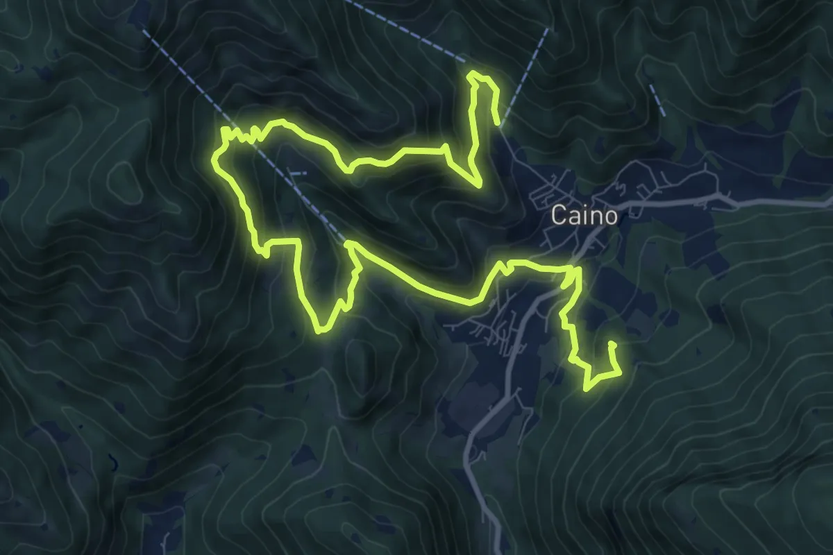
Demanding · Summit
Caino (Pian delle Castagne) – Val Bertone
15.5 km · ↑ 1050 m · 5 h 56 min · 11 km away
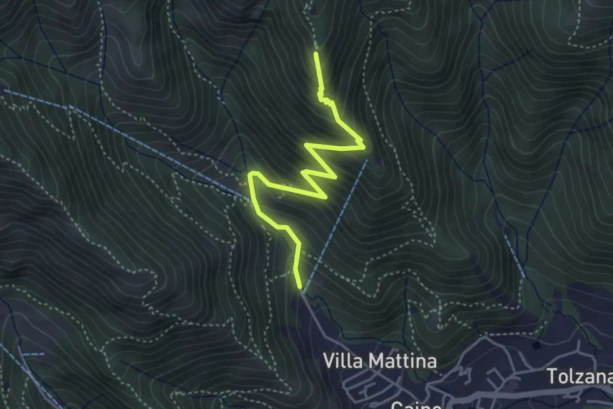
Medium · Summit
Caino (Pian delle Castagne) – Monte Doppo (Innesto Sentiero 381)
4.1 km · ↑ 407 m · 1 h 50 min · 11 km away
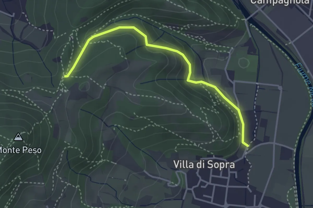
Medium · Trail
Collebeato (La Noia) – Sella del Madì (Innesto Sentiero 247)
3.5 km · ↑ 192 m · 1 h 15 min · 11 km away
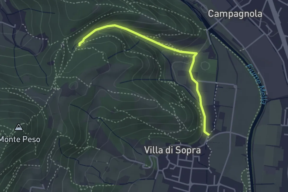
Medium · Trail
Collebeato (La Noia) – Monte Zuccolotto (Innesto Sentiero 248)
3.3 km · ↑ 135 m · 1 h 4 min · 11 km away
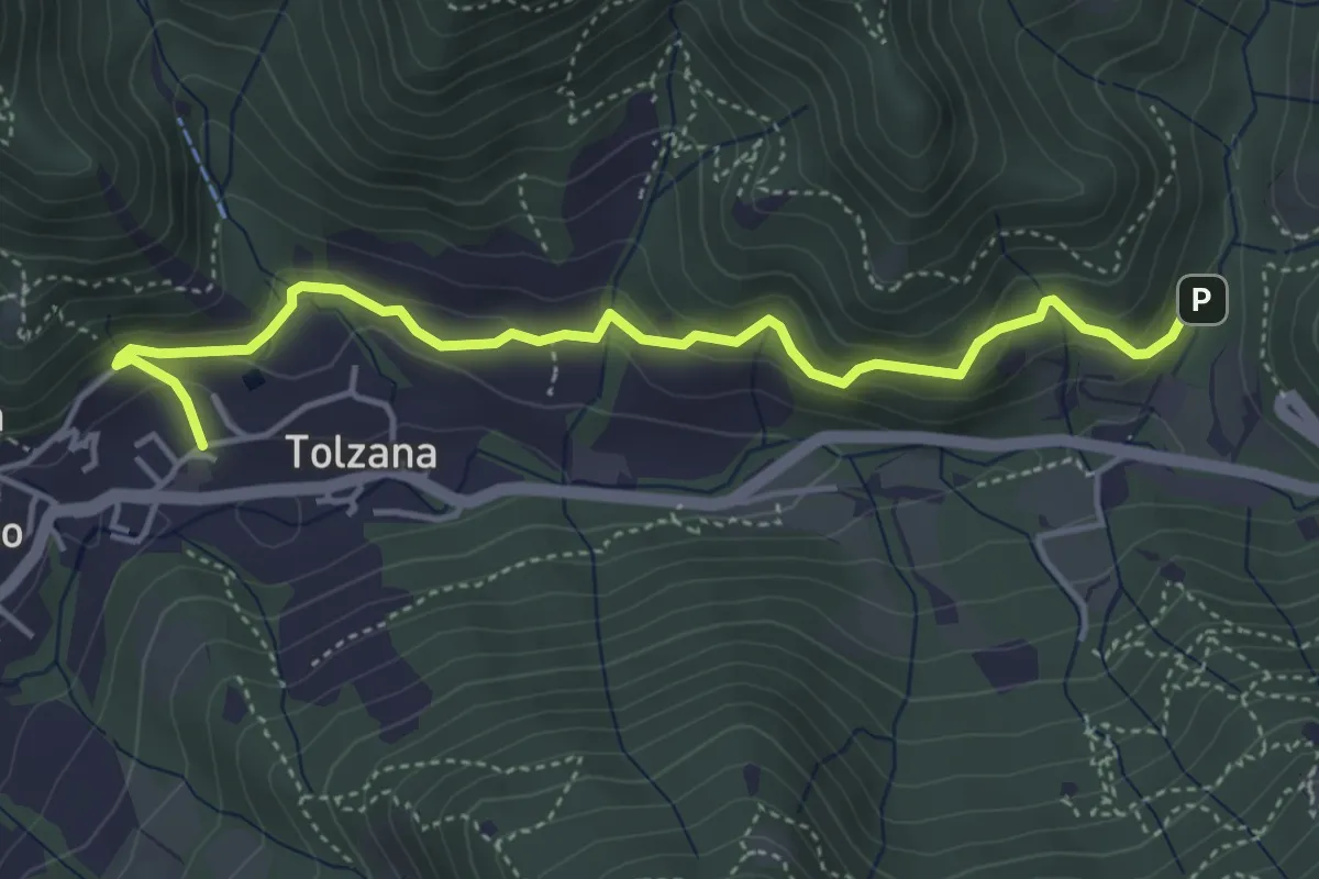
Easy · Trail
Caino – Val Bertone
4.7 km · ↑ 261 m · 1 h 41 min · 11 km away
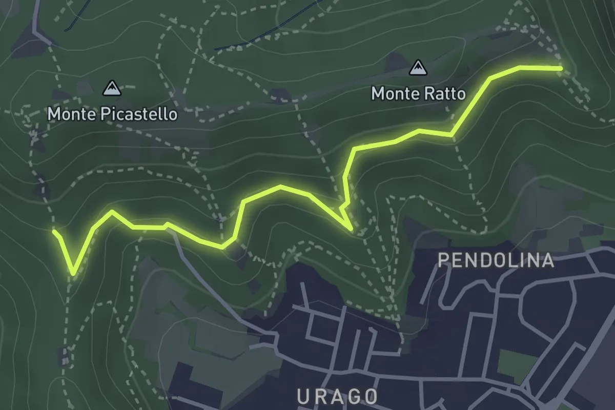
Easy · Trail
Brescia (Valle Bresciana - Innesto Sentiero 218) – Dosso degli Olmi (Innesdto sentiero n. 217)
3.6 km · ↑ 205 m · 1 h 18 min · 12 km away
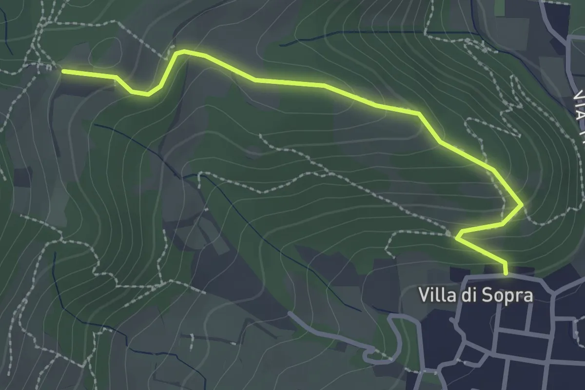
Medium · Trail
Collebeato (Villa Sopra) – Ex Convento di Santo Stefano
2.7 km · ↑ 146 m · 58 min · 12 km away
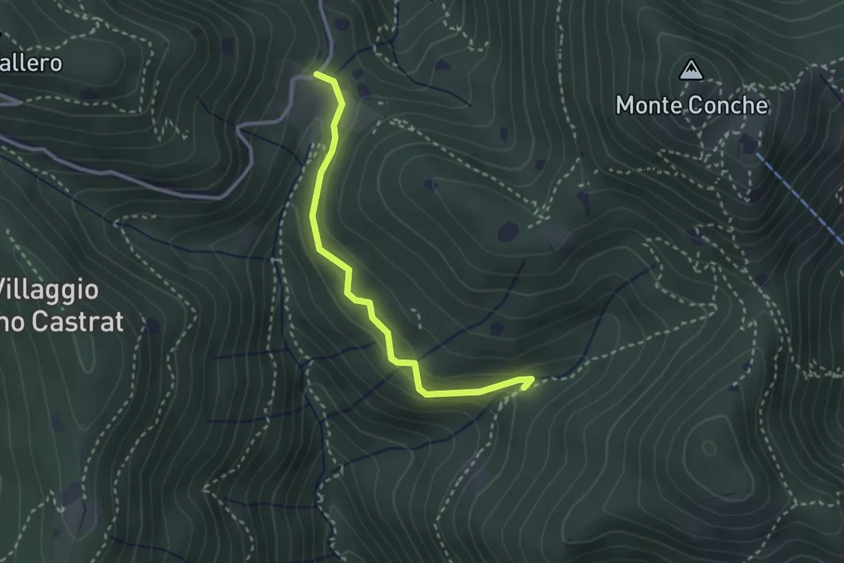
Medium · Trail
Nave (Valle delle Monache) - Cascina Cocca
2.7 km · ↑ 112 m · 53 min · 12 km away
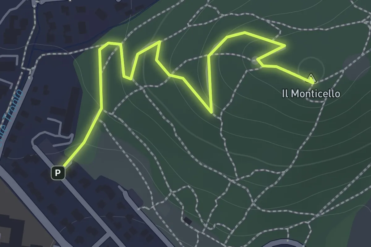
Easy · Summit
Concesio (Monticello) - Sentiero 1
2.0 km · ↑ 76 m · 38 min · 12 km away
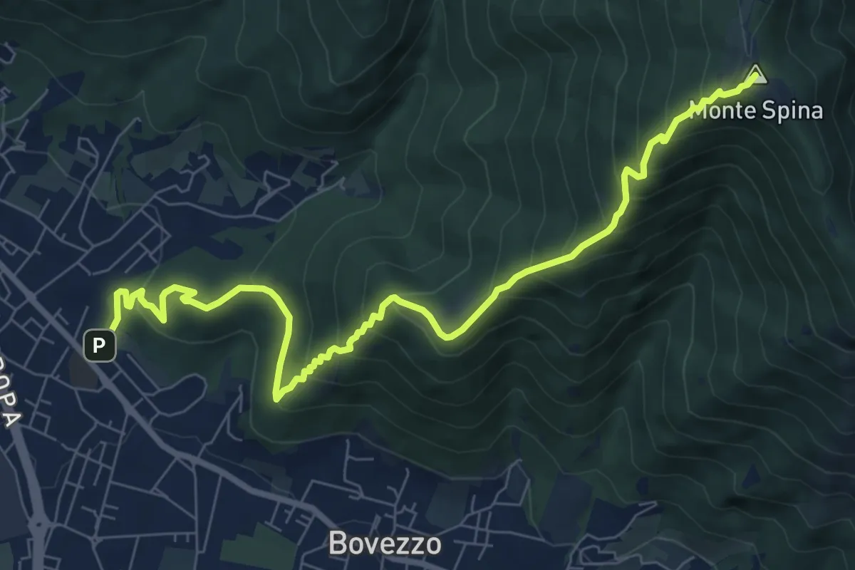
Medium · Summit
Concesio (Sant'Andrea) - Sant'Onofrio
9.4 km · ↑ 736 m · 3 h 48 min · 12 km away
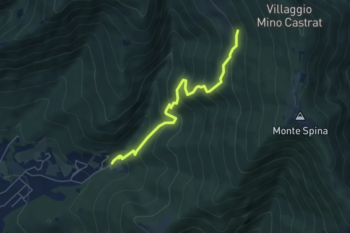
Medium · Trail
Concesio (Roncaglie - Via Sant'Onofrio) – Grassi de le Còle (Innesto Sentiero 390)
4.9 km · ↑ 474 m · 2 h 10 min · 12 km away
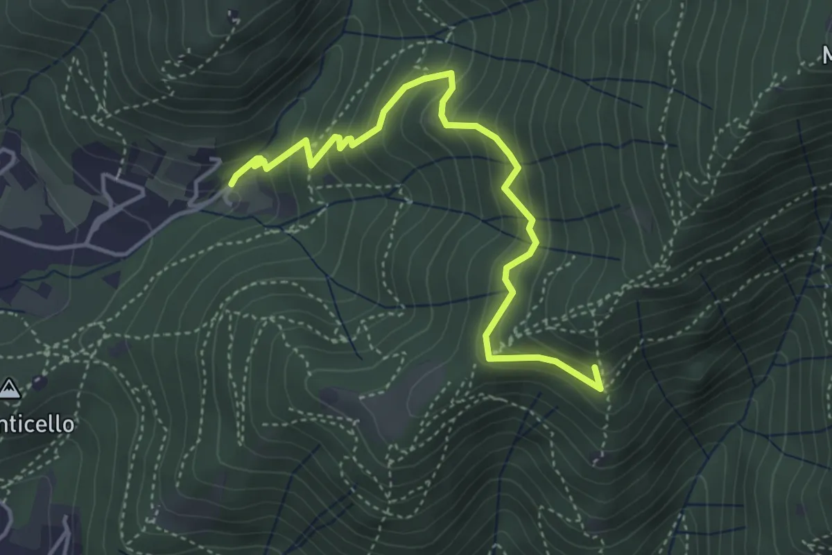
Medium · Summit
Concesio (Roncaglie - Via Sant'Onofrio) – Castagnotta
4.4 km · ↑ 408 m · 1 h 56 min · 12 km away
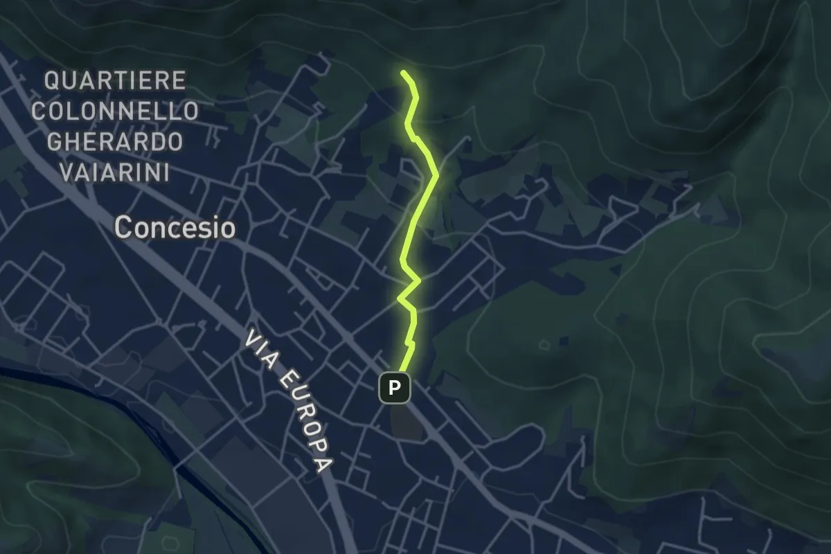
Easy · Trail
Concesio (Sant'Andrea) - Monte Verdura (Innesto Sentiero da Pieve)
2.6 km · ↑ 114 m · 52 min · 12 km away
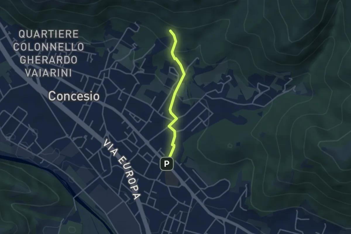
Easy · Trail
Concesio (Sant'Andrea) - Monte Verdura (Innesto Sentiero G)
2.6 km · ↑ 114 m · 52 min · 12 km away
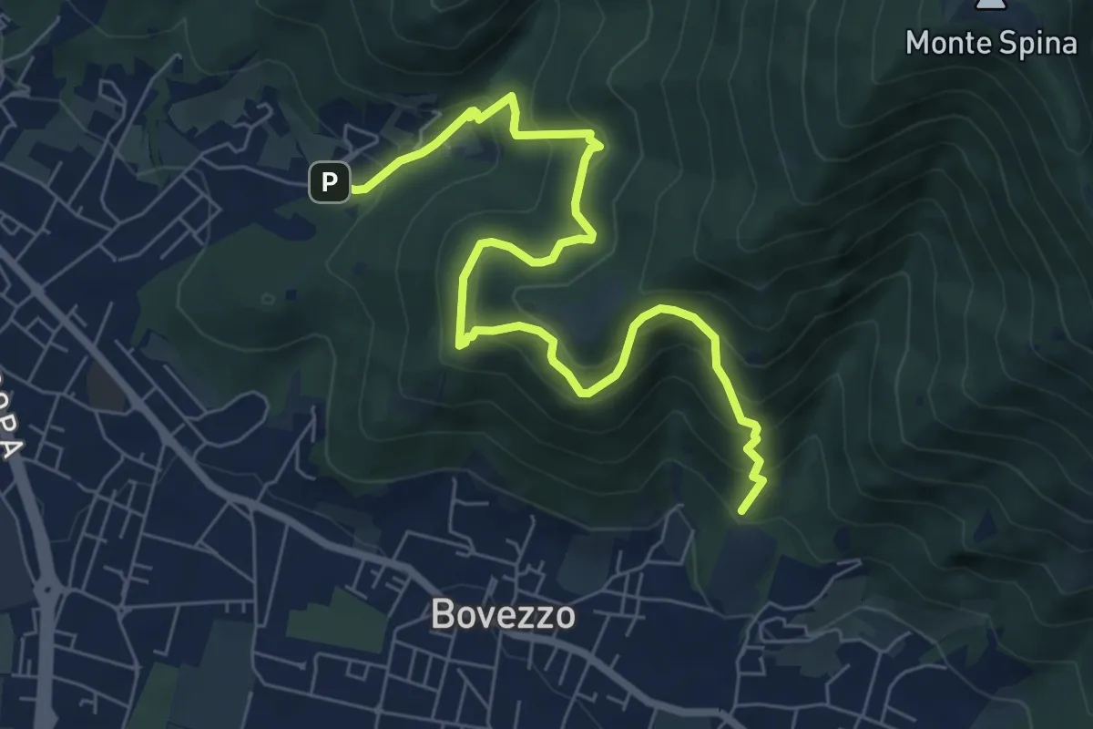
Medium · Trail
Concesio (Roncaglie - Via Sant'Onofrio) – Valle Prignole (Fontanino - Innesto Sentiero 351)
7.9 km · ↑ 704 m · 3 h 24 min · 12 km away
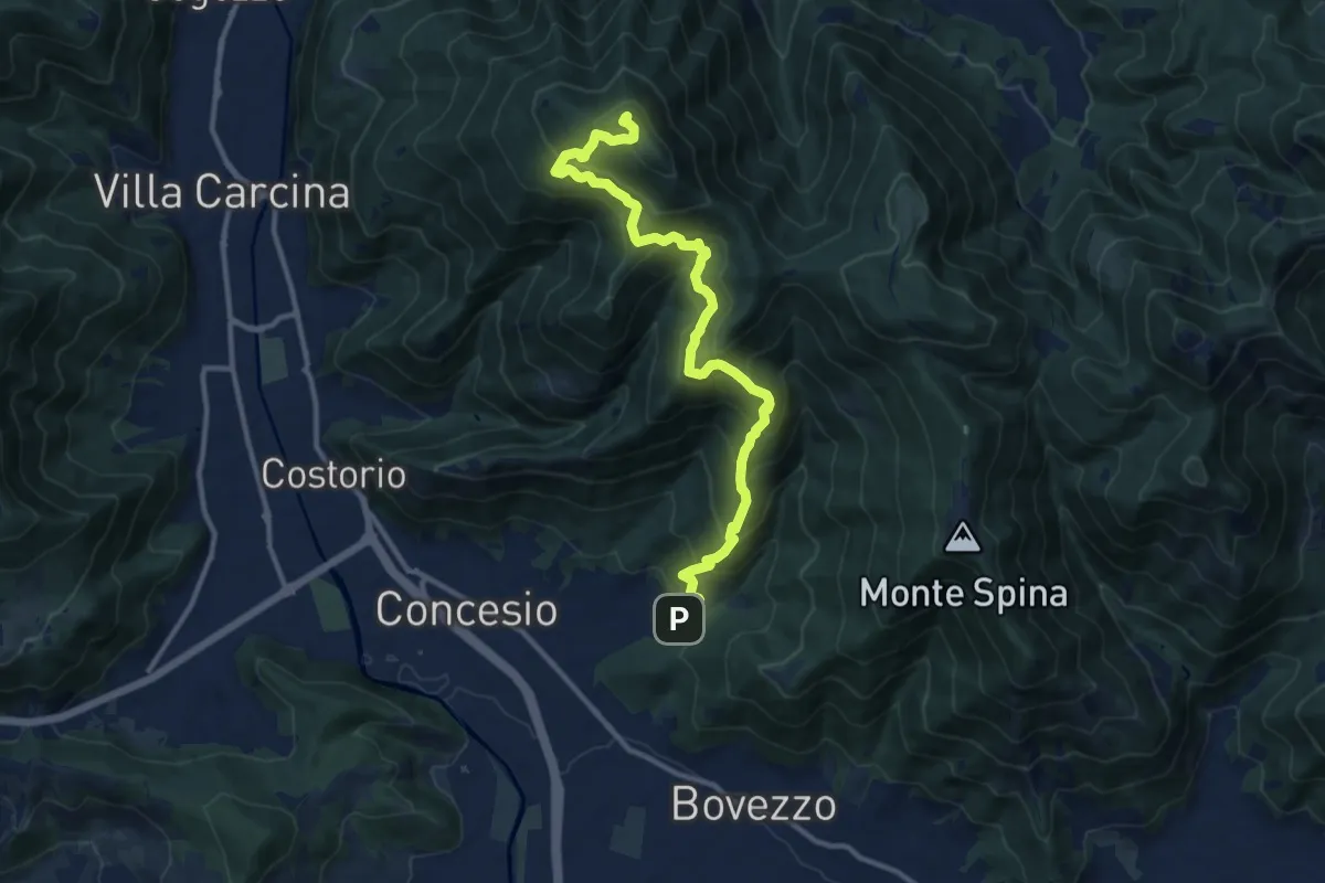
Demanding · Summit
Concesio (Roncaglie) - Monte Palosso
12.8 km · ↑ 1042 m · 5 h 17 min · 12 km away
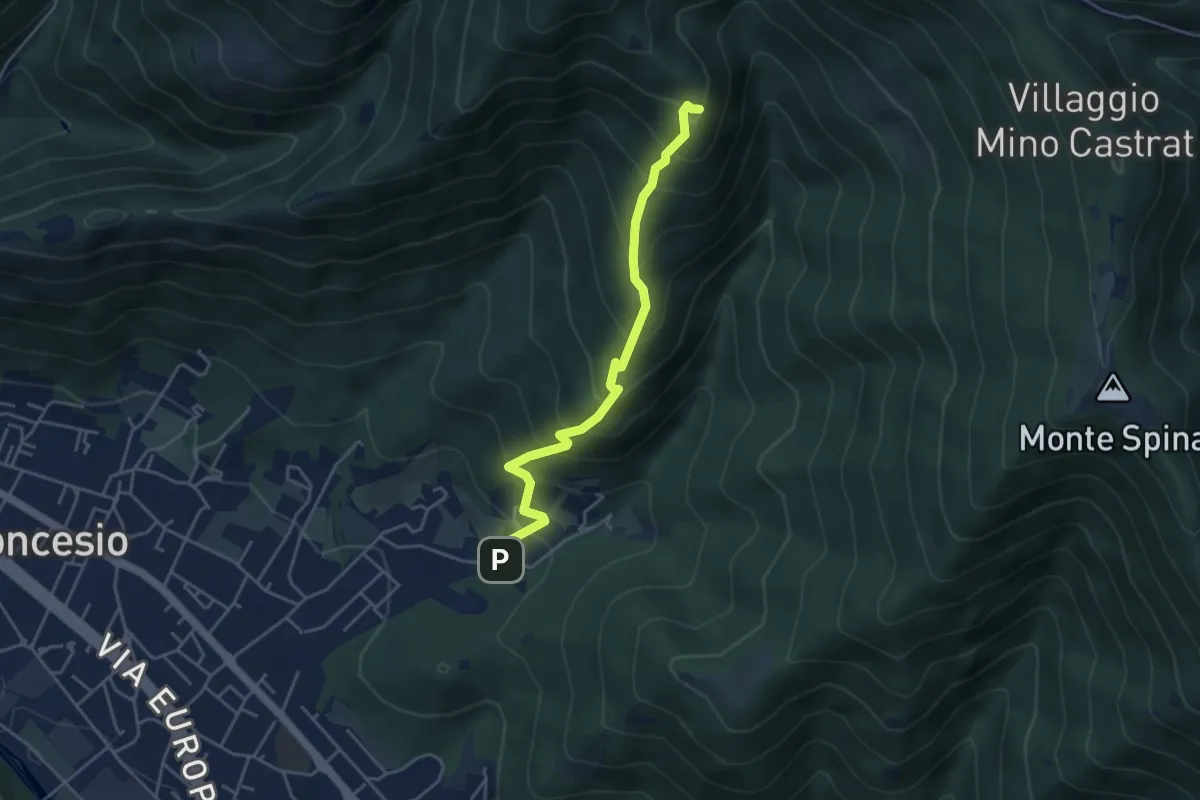
Medium · Summit
Concesio (Roncaglie) – Monte Palosso (Innesto Sentiero 377)
4.3 km · ↑ 481 m · 2 h 3 min · 12 km away
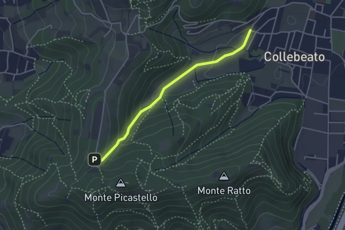
Medium · Trail
Collebeato (Angolo di Sopra) – Campiani (Il Merlo)
3.1 km · ↑ 131 m · 1 h 1 min · 12 km away
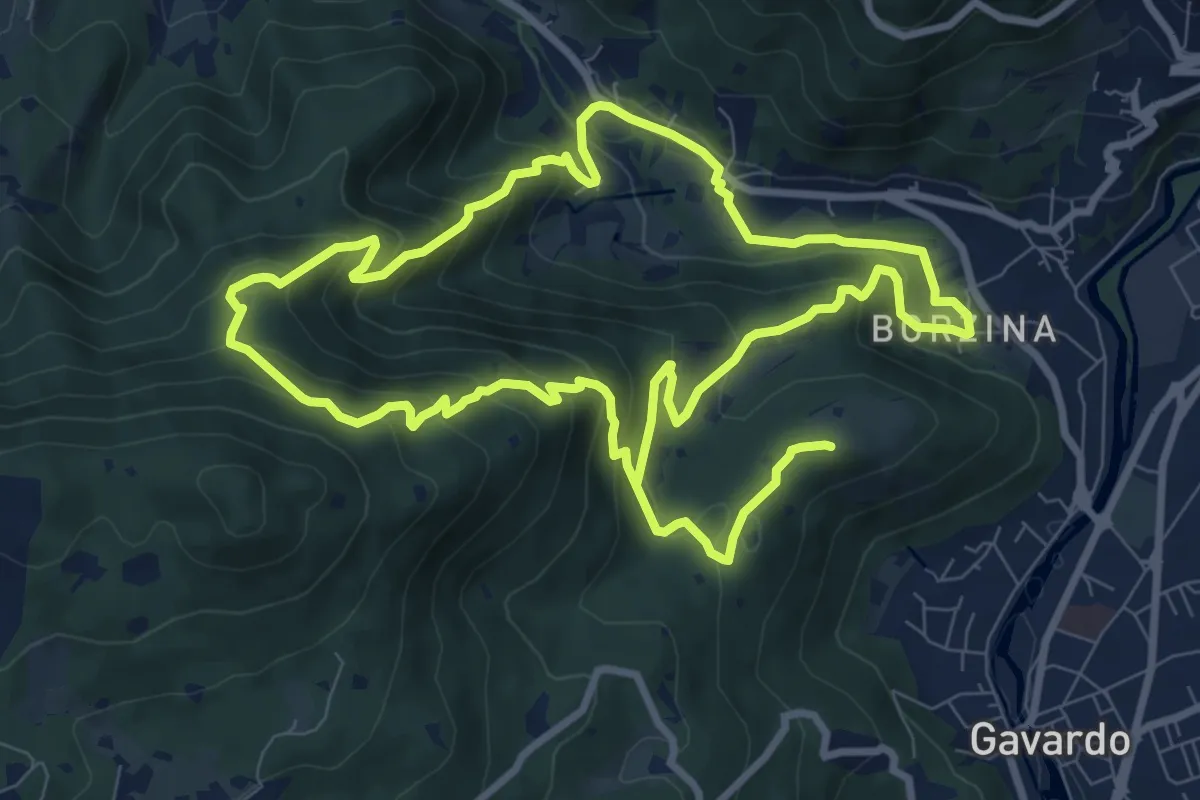
Demanding · Summit
Gavardo (Via Signurì) – Gavardo
18.2 km · ↑ 1056 m · 6 h 35 min · 12 km away