Trails near Rezzato
169 hikes starting within 15 km, nearest first.
Nearest first, page 4 of 4
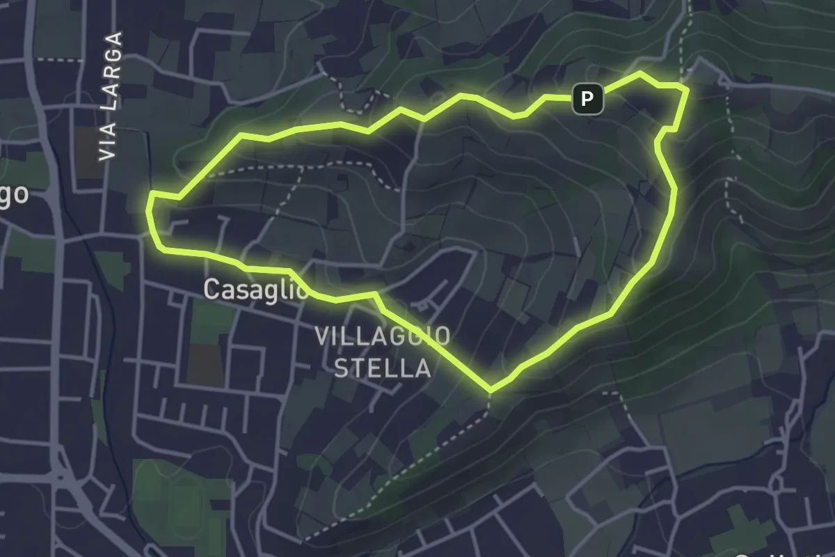
Easy · Trail
Via Crucis - San Rocco - Stella
3.7 km · ↑ 201 m · 1 h 21 min · 14 km away
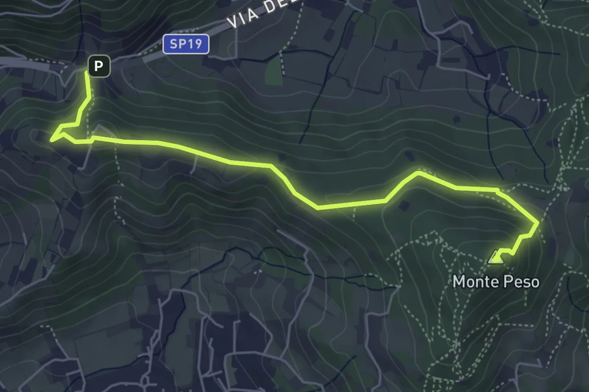
Medium · Summit
Sentiero 3V - Tappa 8b
6.0 km · ↑ 266 m · 1 h 59 min · 14 km away
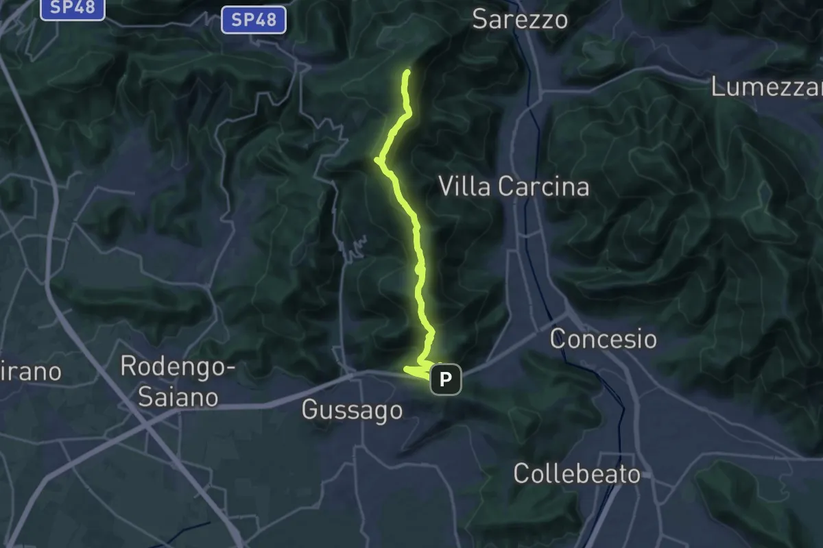
Demanding · Summit
Sentiero 3V - Tappa 8a
18.2 km · ↑ 1158 m · 6 h 48 min · 14 km away
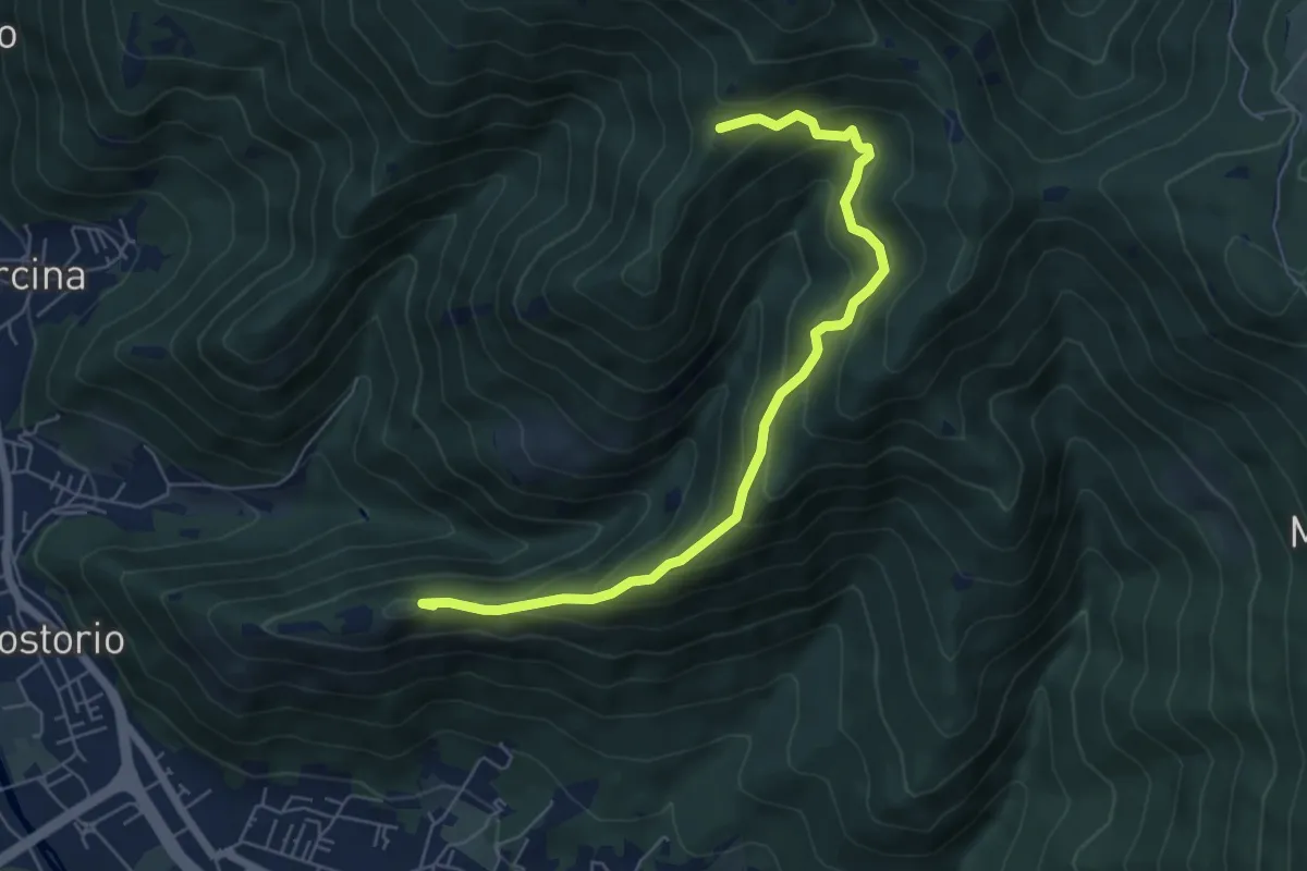
Medium · Summit
Concesio (Costorio) – Tesa del Condigolo (Innesto sentiero 378)
6.4 km · ↑ 468 m · 2 h 32 min · 14 km away
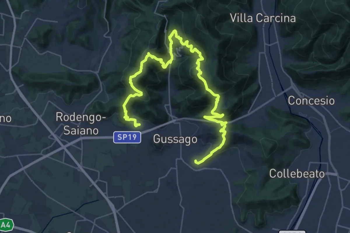
Demanding · Summit
Giro delle Colline
16.7 km · ↑ 1170 m · 6 h 43 min · 14 km away
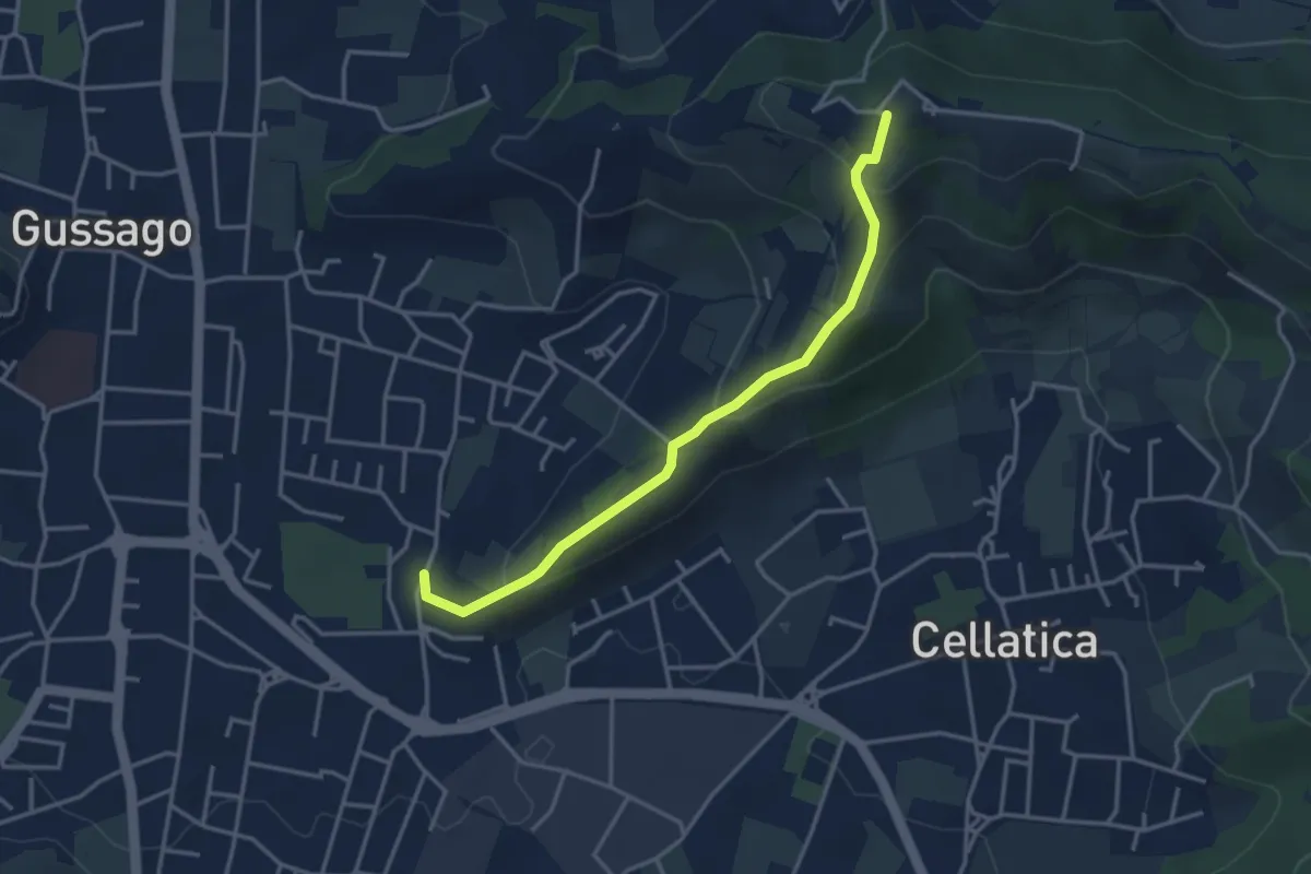
Easy · Trail
Cellatica (Casaglio) – Santuario della Stella
3.6 km · ↑ 213 m · 1 h 19 min · 14 km away
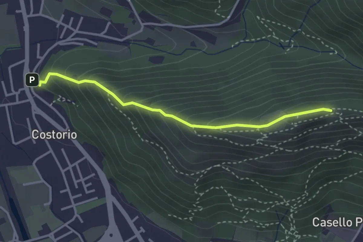
Medium · Summit
Concesio (Costorio) - Grassi Carpini
3.0 km · ↑ 329 m · 1 h 25 min · 14 km away
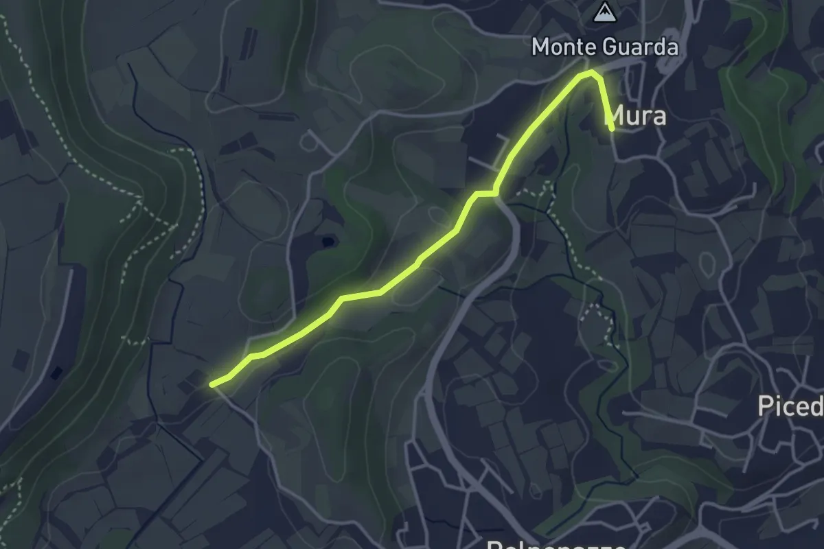
Easy · Trail
8 - Percorsi delle Colline Moreniche di Puegnago
3.5 km · ↑ 41 m · 55 min · 14 km away
Easy · Summit
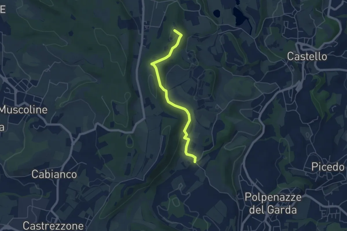
1 - Percorsi delle Colline Moreniche di Puegnago
4.8 km · ↑ 137 m · 1 h 26 min · 14 km away
Demanding · Summit
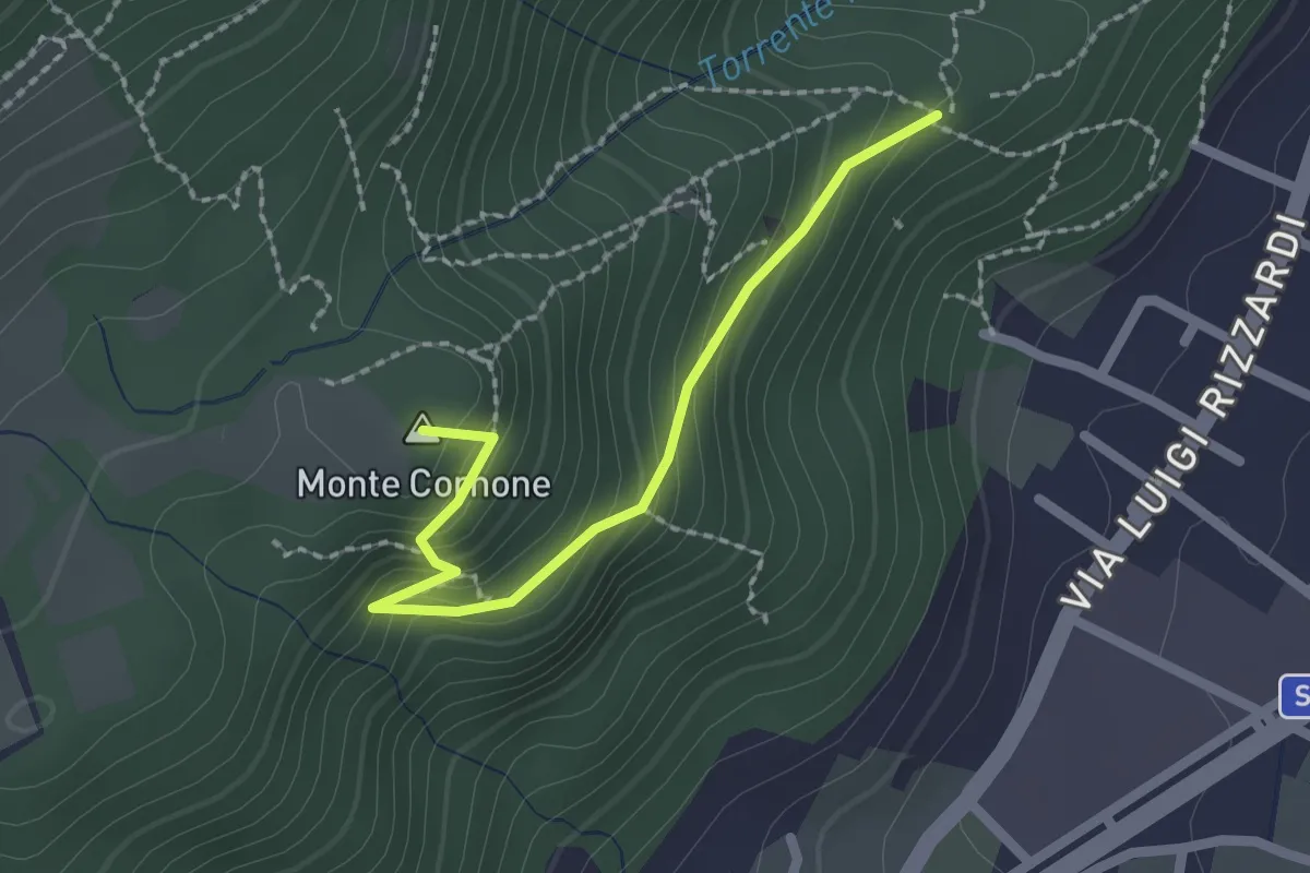
Sentiero D - Variante Monte Cornone
2.1 km · ↑ 170 m · 52 min · 14 km away
Medium · Summit
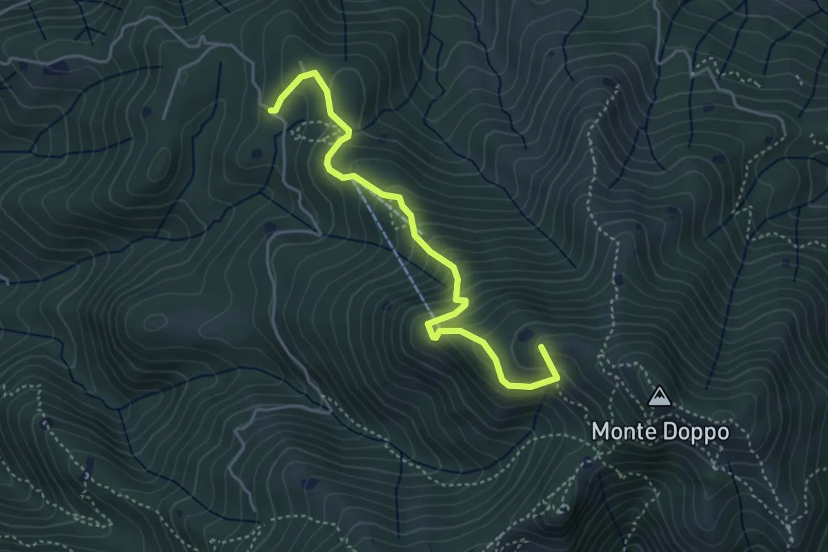
Lumezzane (Burio) - Bivio per San Giorgio
4.2 km · ↑ 376 m · 1 h 48 min · 14 km away
Medium · Summit
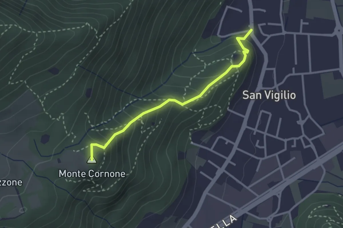
Concesio (San Vigilio) - Quarone di Sopra
2.6 km · ↑ 259 m · 1 h 11 min · 14 km away
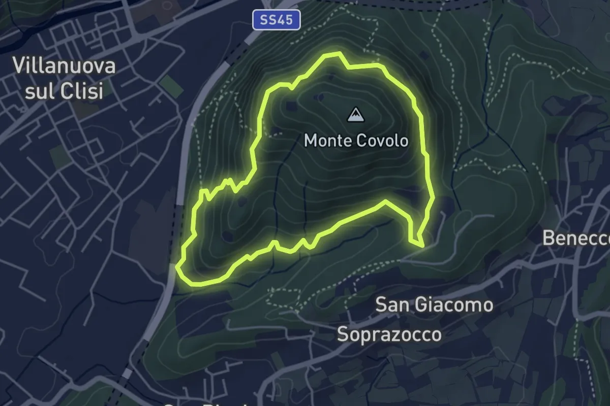
Medium · Trail
Anello Monte Covolo
4.0 km · ↑ 279 m · 1 h 36 min · 15 km away
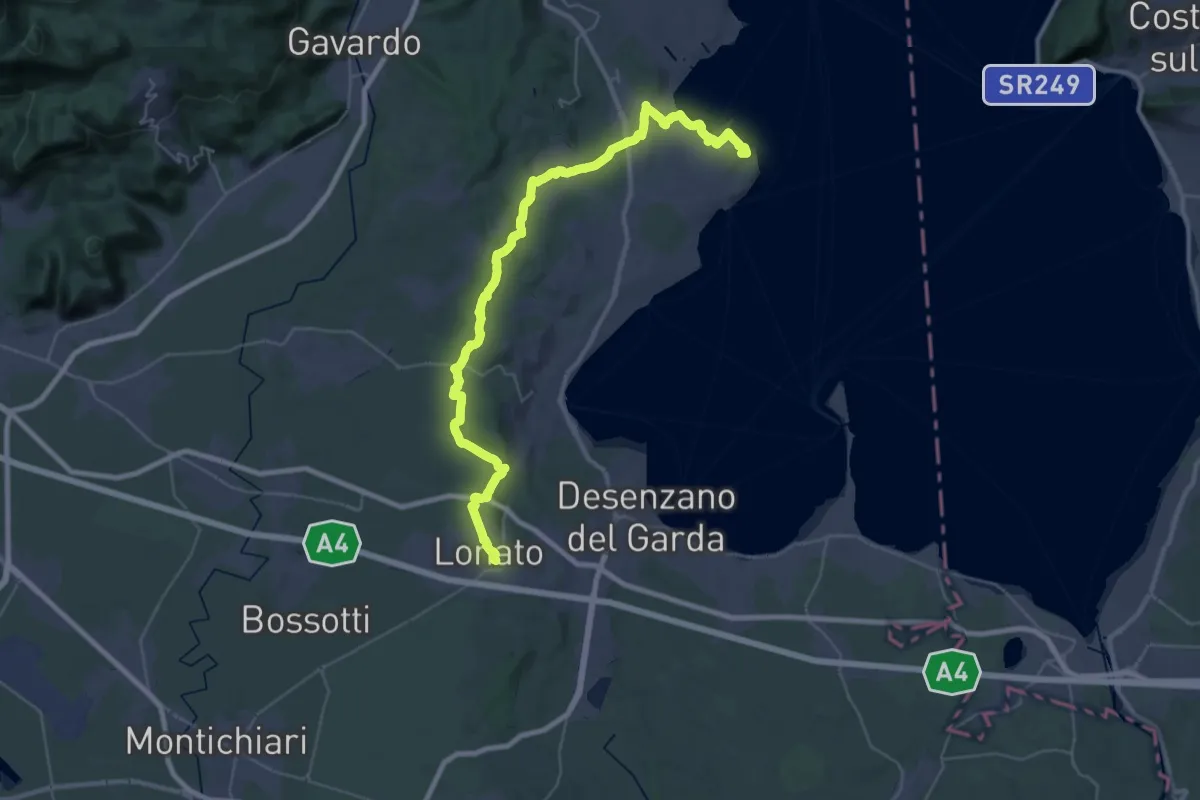
Demanding · Summit
Manerba del Garda (San Giorgio) – Lonato del Garda
44.2 km · ↑ 707 m · 11 h 58 min · 15 km away
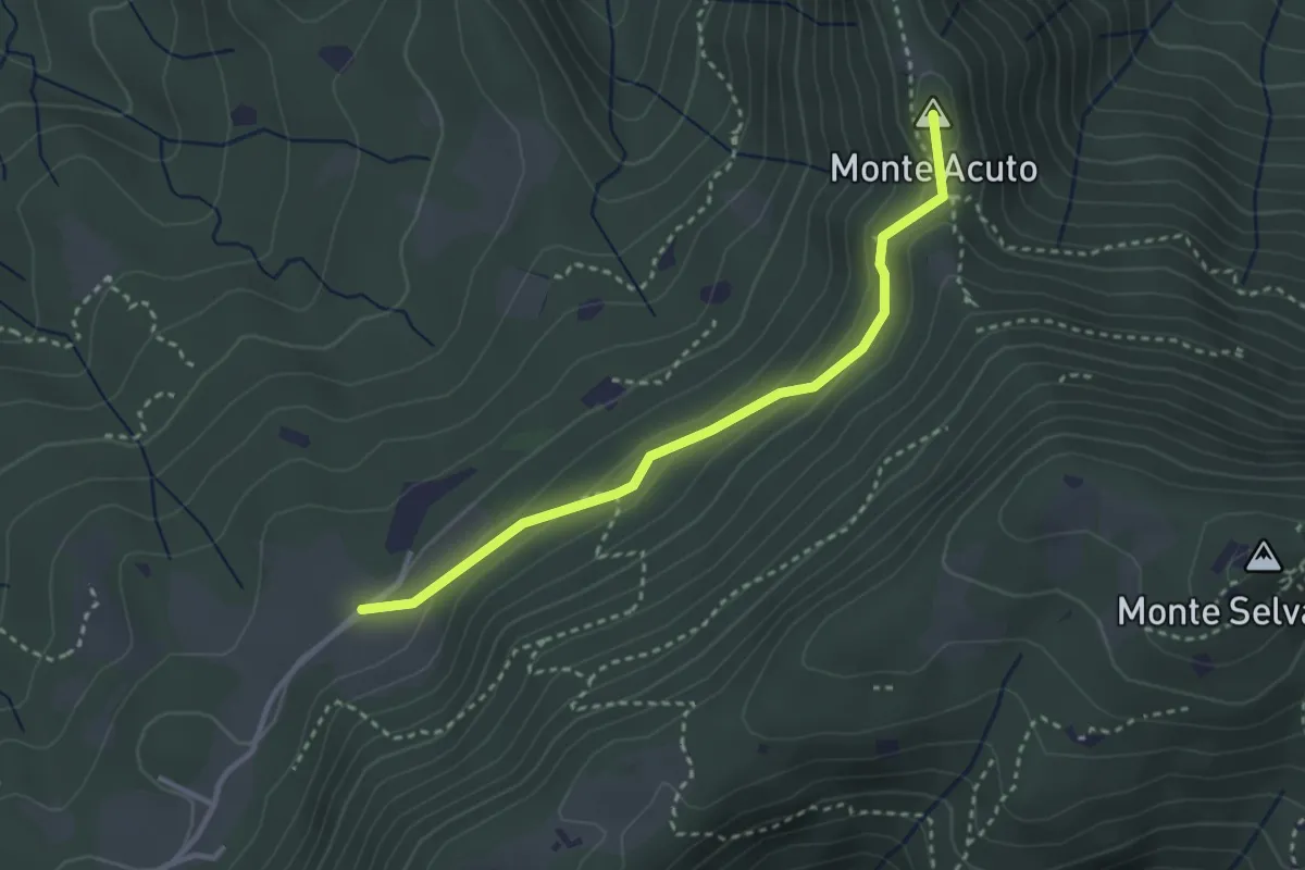
Medium · Summit
Sabbio Chiese (Monte Acuto - Innesto Sentiero 495) - Monte Magno
3.1 km · ↑ 162 m · 1 h 4 min · 15 km away
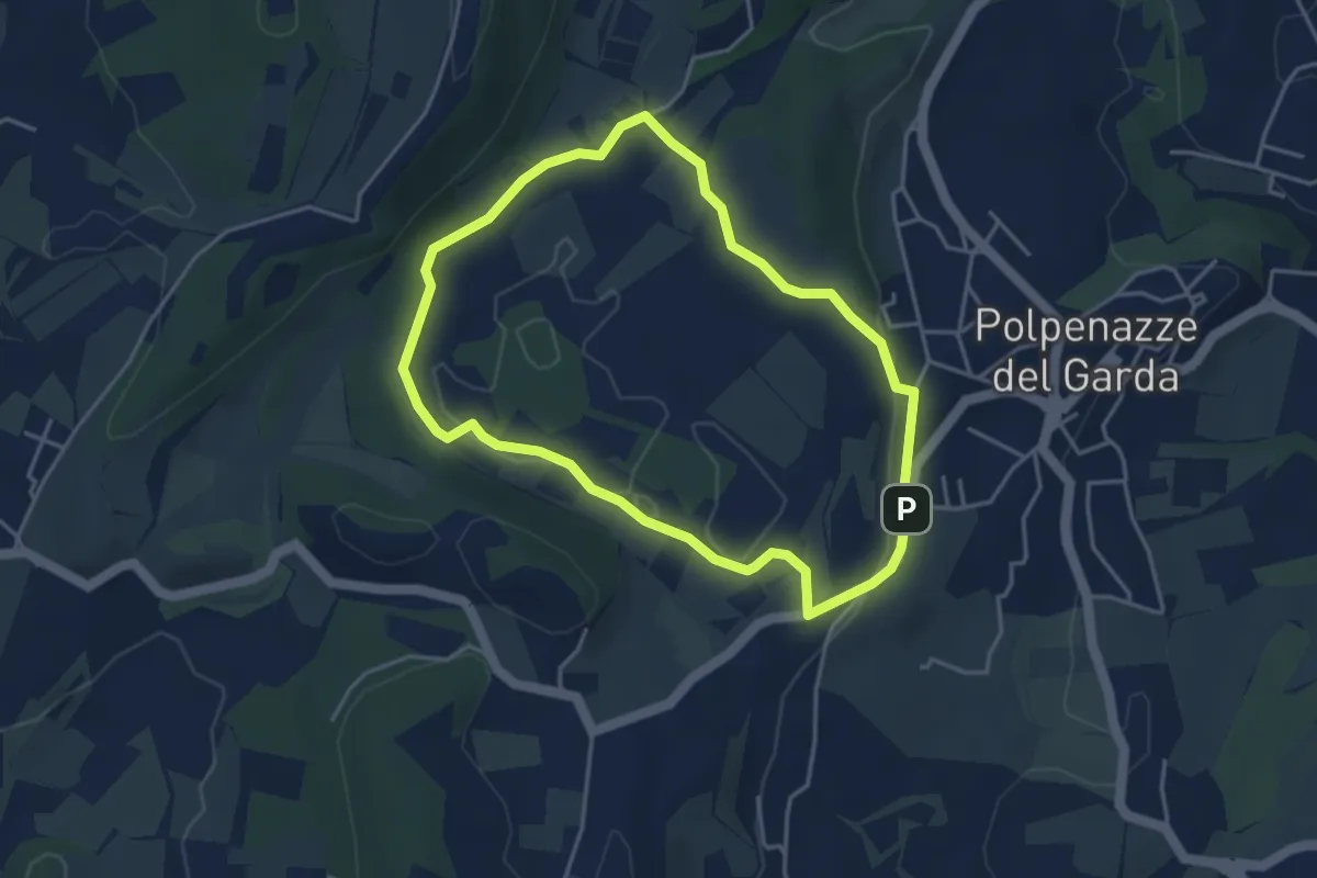
Easy · Trail
Giro del Lago di Lucone
3.9 km · ↑ 42 m · 1 h 3 min · 15 km away
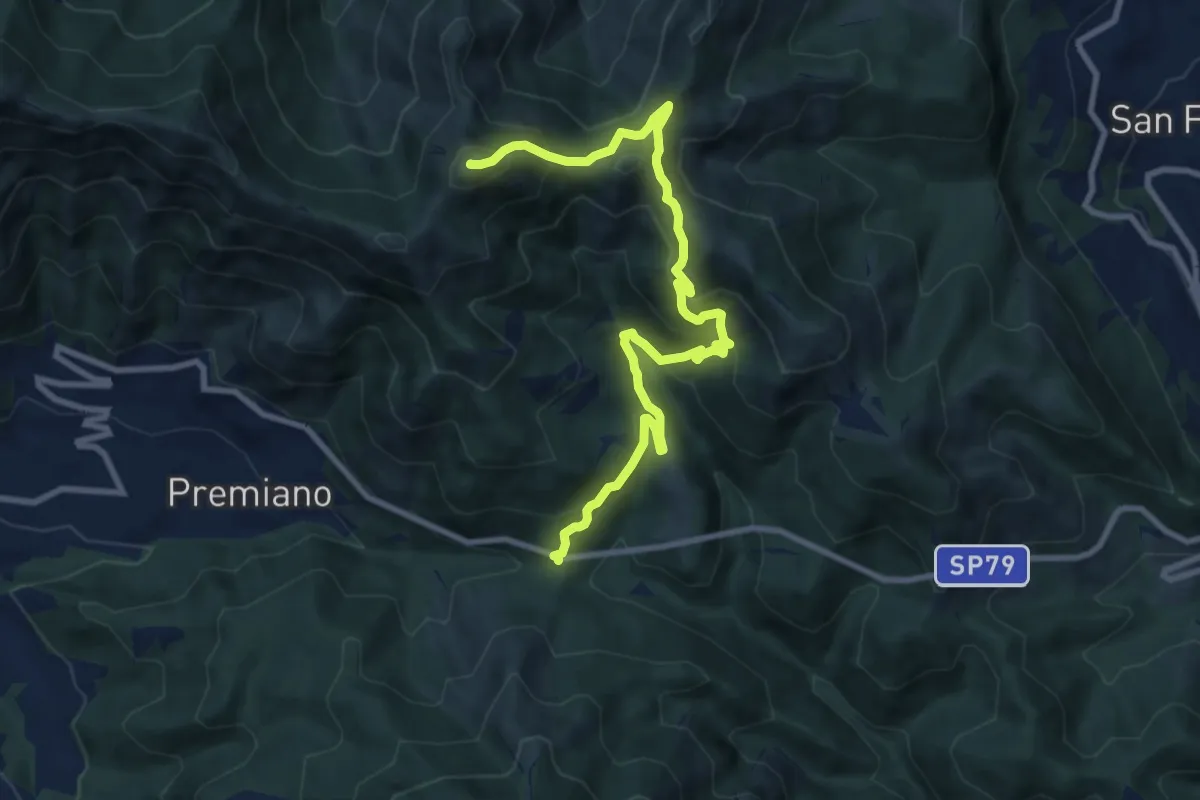
Demanding · Summit
Lumezzane (Passo del Cavallo) – Punta Camoghera
10.5 km · ↑ 734 m · 4 h 4 min · 15 km away
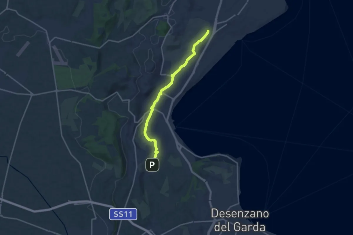
Medium · Trail
Maguzzano – Moniga
11.3 km · ↑ 61 m · 2 h 48 min · 15 km away
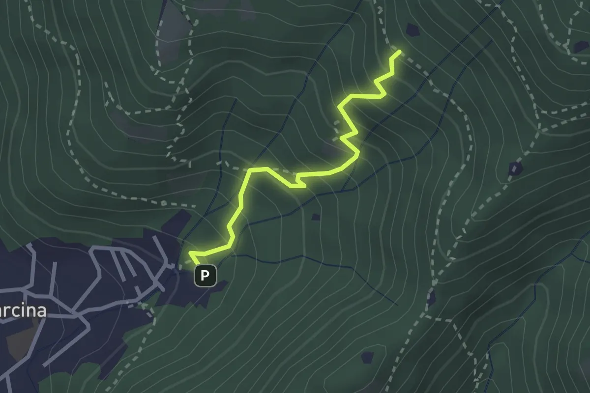
Medium · Trail
Villa Carcina - Sentiero 22
2.3 km · ↑ 303 m · 1 h 12 min · 15 km away
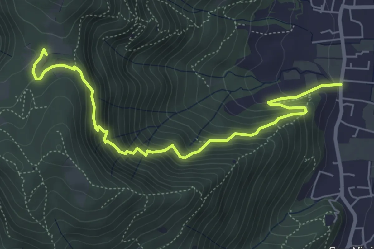
Medium · Trail
Concesio (Via Mandò) - Quarone di Sopra
6.2 km · ↑ 571 m · 2 h 42 min · 15 km away
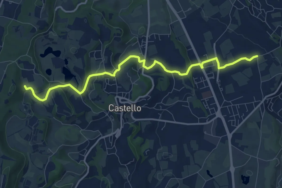
Medium · Trail
2 - Percorsi delle Colline Moreniche di Puegnago
10.1 km · ↑ 195 m · 2 h 48 min · 15 km away
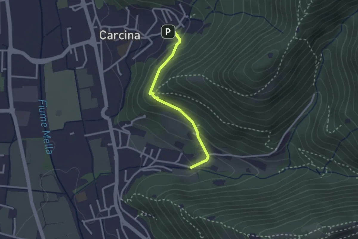
Easy · Trail
Villa Carcina (Carcina) - Costorio
2.2 km · ↑ 126 m · 48 min · 15 km away
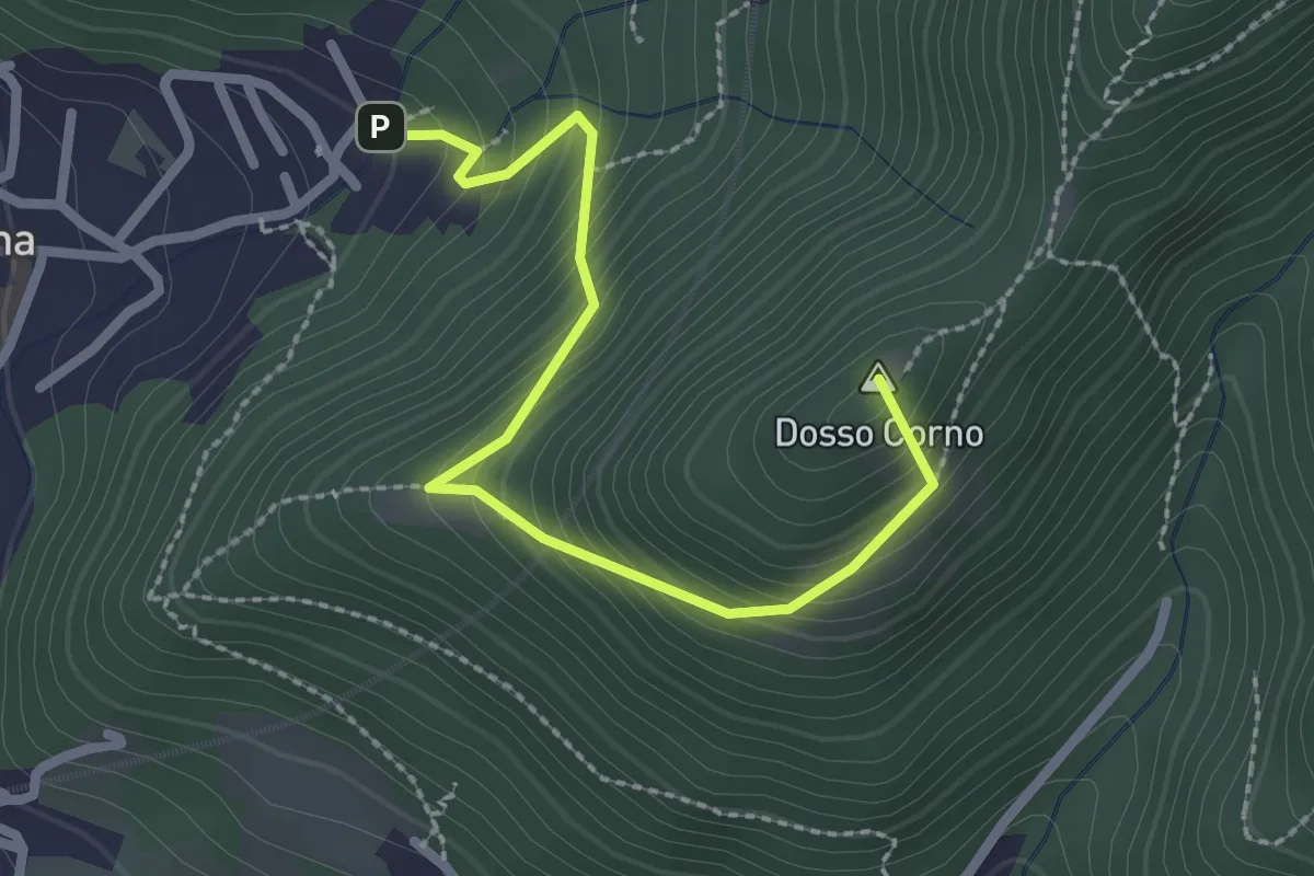
Medium · Summit
Villa Carcina (Caricatore) – Crusal
2.7 km · ↑ 292 m · 1 h 16 min · 15 km away
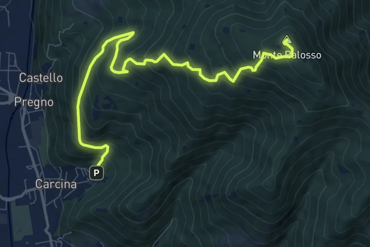
Demanding · Summit
Villa Carcina (Caricatore) – Monte Palosso
9.9 km · ↑ 908 m · 4 h 18 min · 15 km away
Medium · Summit
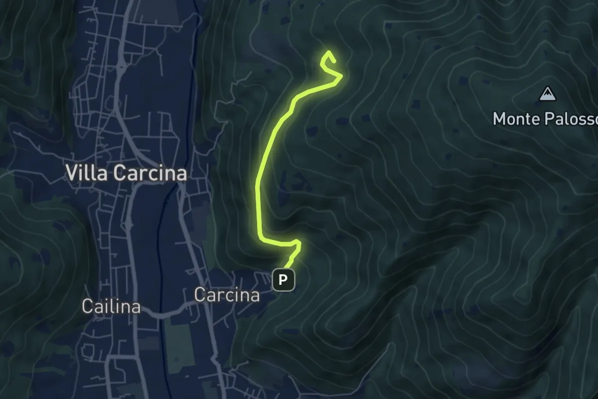
Villa Carcina - Sentiero 17
4.5 km · ↑ 395 m · 1 h 56 min · 15 km away