Trails near Riccia
29 hikes starting within 15 km, nearest first.
Nearest first
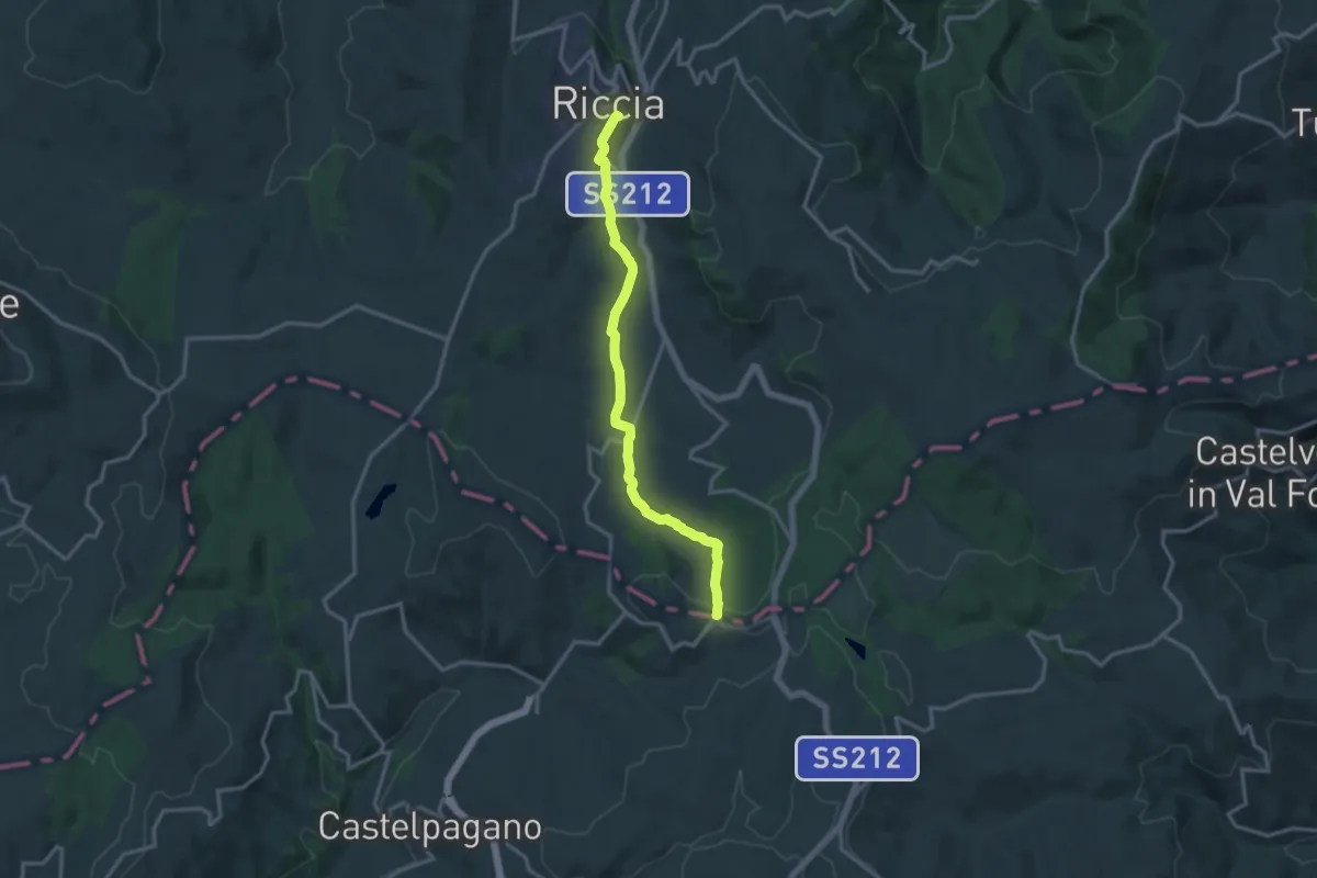
Medium · Trail
Riccia – Case Mastroianni
15.1 km · ↑ 284 m · 4 h 11 min · under 1 km away
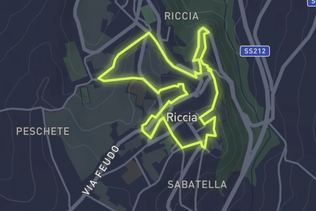
Easy · Trail
Circuito Riccia
3.7 km · ↑ 126 m · 1 h 12 min · under 1 km away
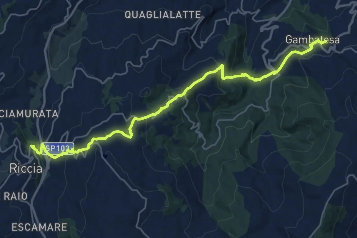
Demanding · Trail
Gambatesa – Riccia
18.7 km · ↑ 904 m · 6 h 22 min · 1 km away
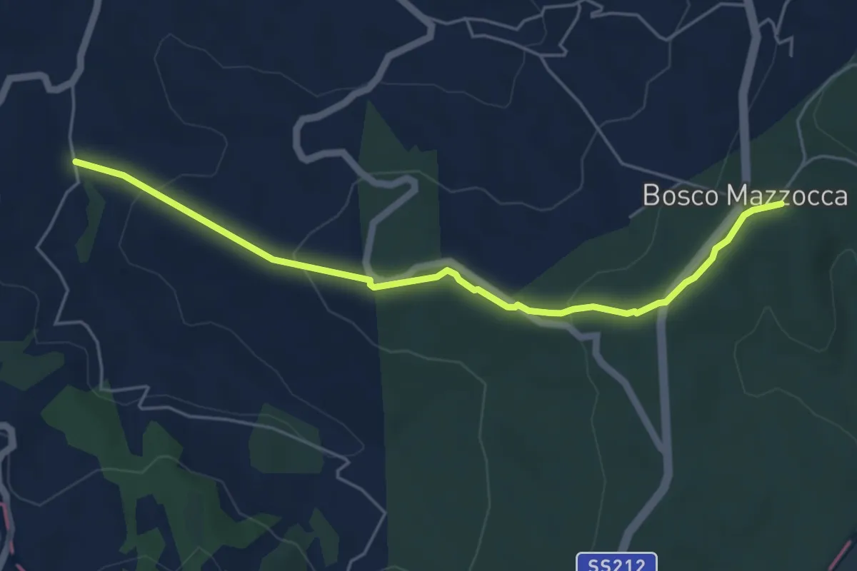
Easy · Trail
Bosco Mazzocca – 506
5.6 km · ↑ 178 m · 1 h 43 min · 5 km away
Demanding · Summit
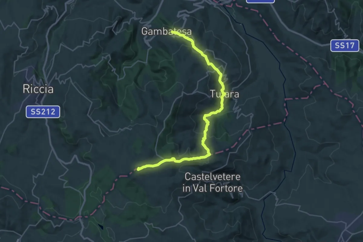
Gambatesa – Bosco Mazzocca
25.7 km · ↑ 1054 m · 8 h 21 min · 7 km away
Easy · Trail
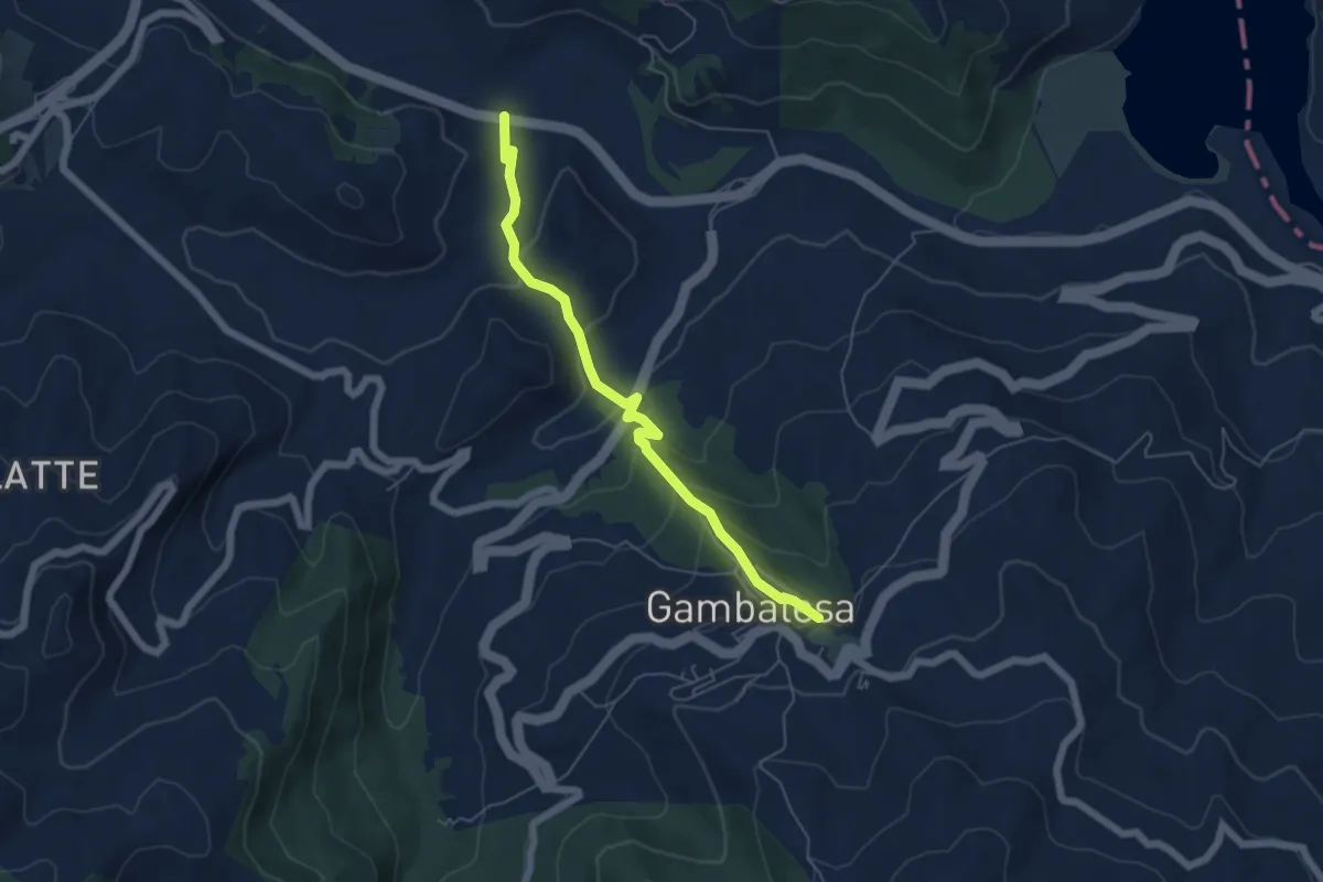
500 – Gambatesa
6.1 km · ↑ 281 m · 2 h 3 min · 7 km away
Demanding · Trail
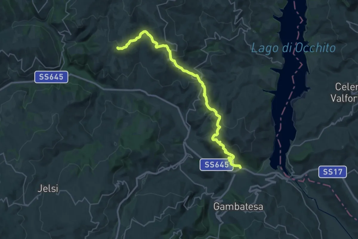
Grimalda – Ponte Macchie della Terra
25.3 km · ↑ 866 m · 7 h 51 min · 8 km away
Medium · Trail
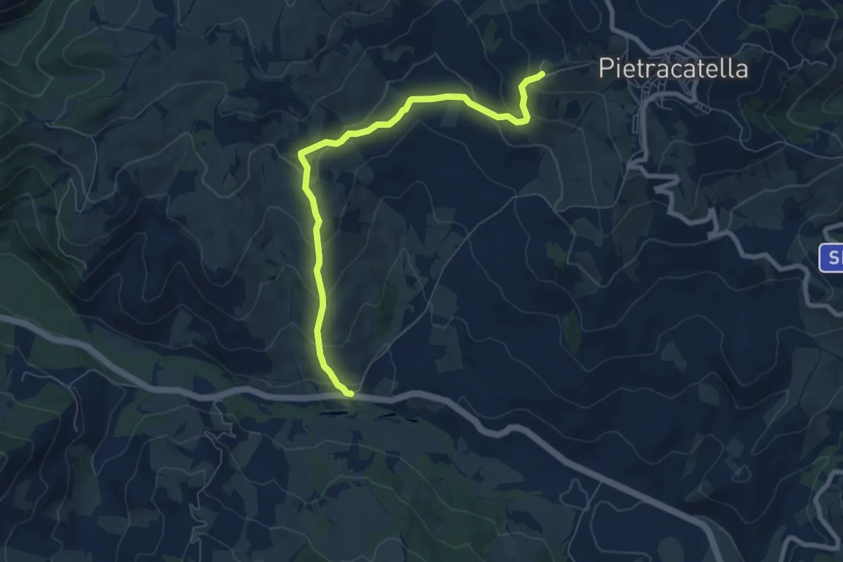
Valle del Tappino – 511
7.6 km · ↑ 437 m · 2 h 45 min · 9 km away
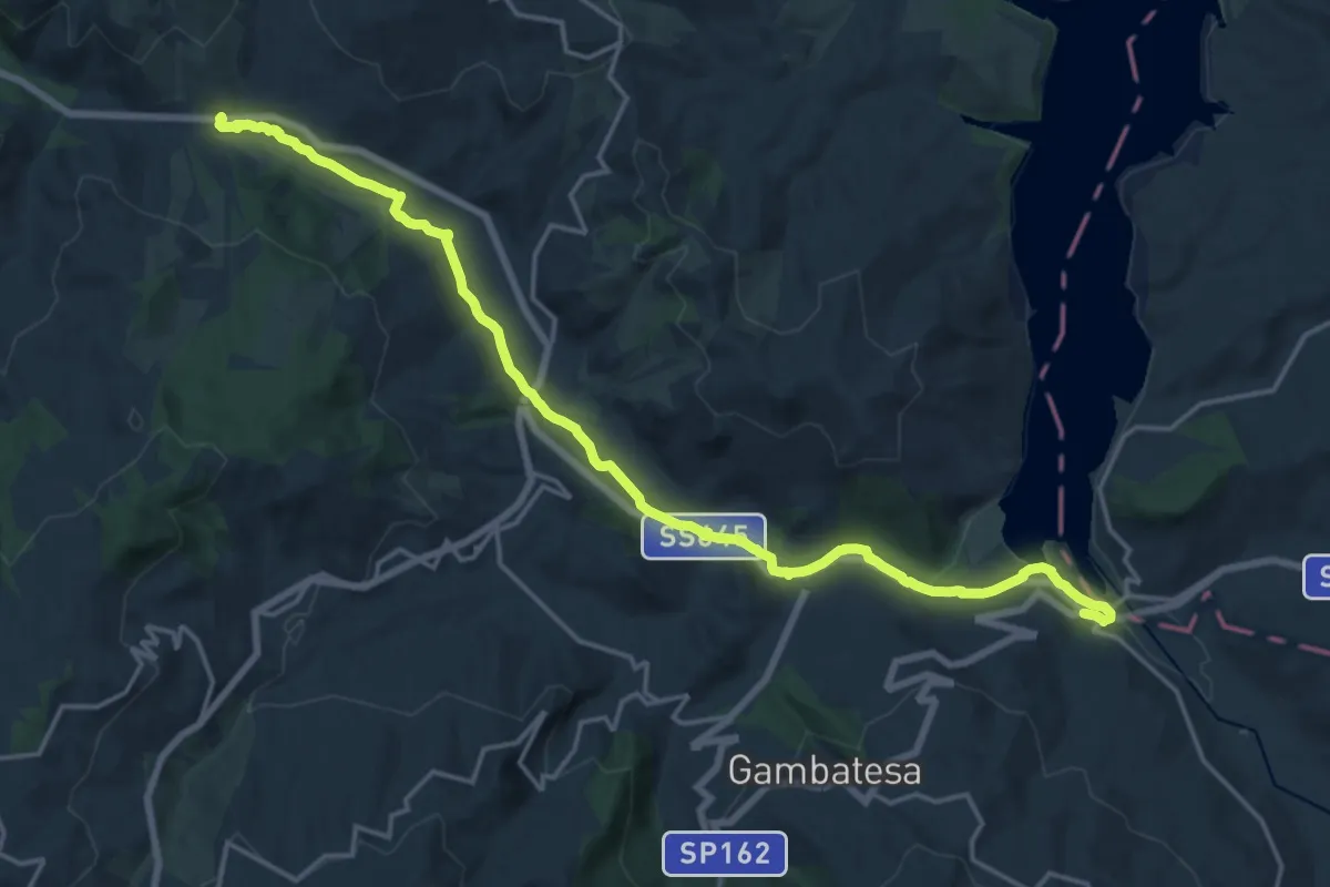
Demanding · Trail
Ponte dei 13 Archi – La Taverna
22.0 km · ↑ 120 m · 5 h 27 min · 9 km away
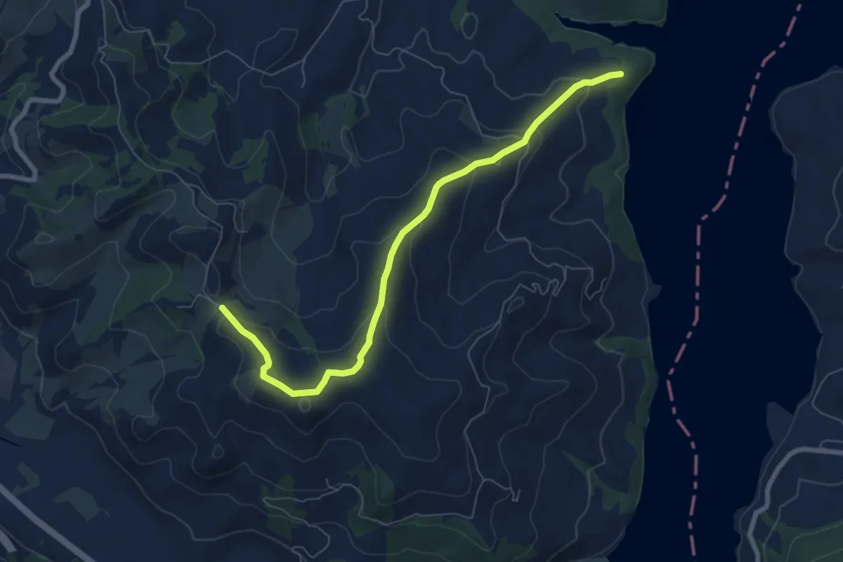
Medium · Trail
504 – 511
8.0 km · ↑ 321 m · 2 h 35 min · 9 km away
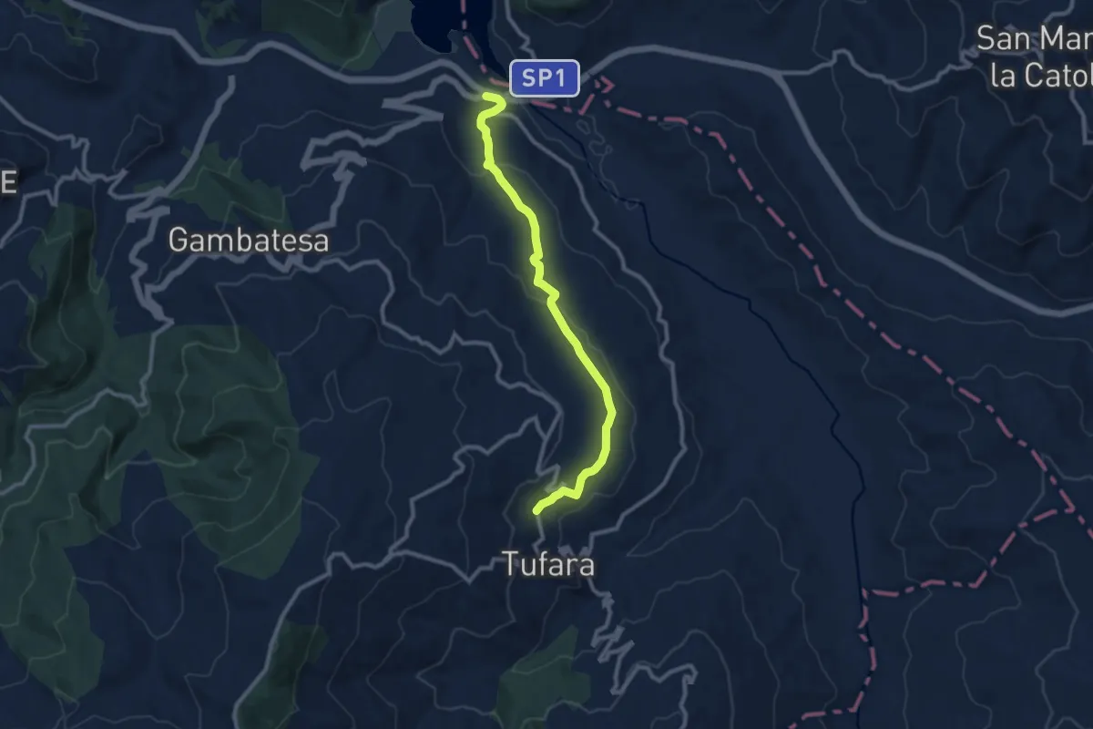
Medium · Trail
Ponte dei 13 Archi – Tufara - Contrada Ponte Grosso
10.4 km · ↑ 294 m · 3 h 6 min · 9 km away
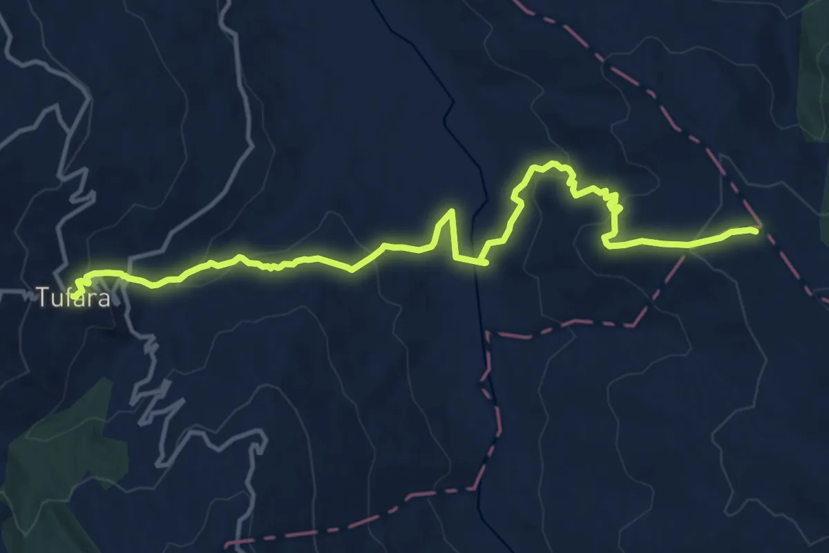
Medium · Trail
Tufara – intersezione RT Castel di Sangro Lucera (sent. n.311)
14.9 km · ↑ 681 m · 5 h · 9 km away
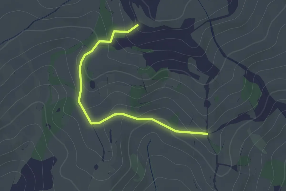
Easy · Trail
507 – Grimalda
2.4 km · ↑ 88 m · 45 min · 10 km away
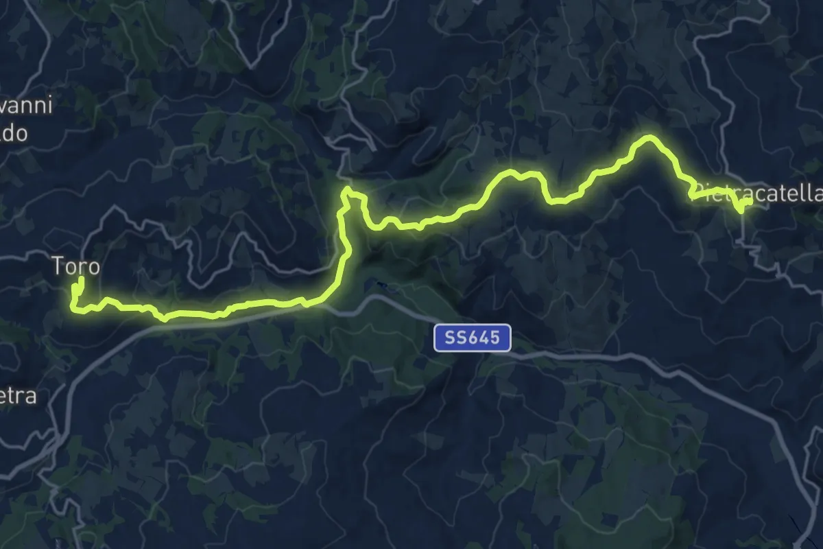
Medium · Trail
Con le ali ai piedi - 19
13.6 km · ↑ 479 m · 4 h 23 min · 11 km away
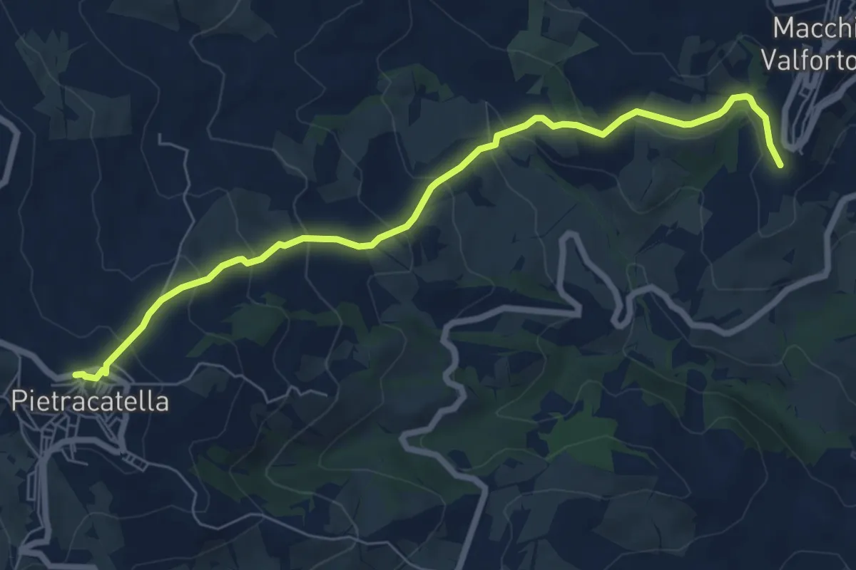
Medium · Trail
Pietracatella – Macchia Valfortore
7.7 km · ↑ 418 m · 2 h 43 min · 11 km away
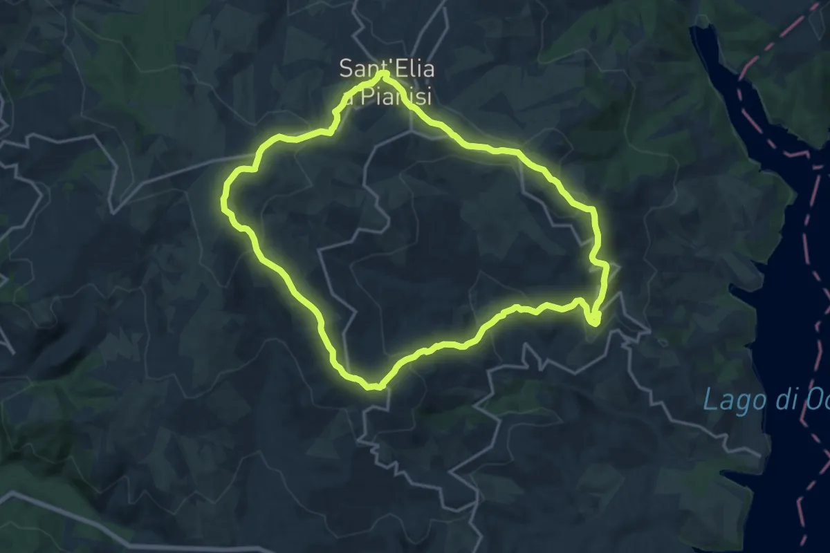
Medium · Trail
Sentiero Gigi Mastrogiuseppe
16.6 km · ↑ 598 m · 5 h 26 min · 11 km away
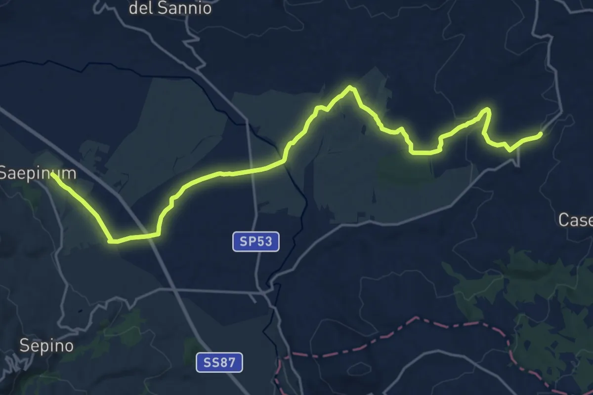
Demanding · Trail
San Marco – Altilia
21.8 km · ↑ 264 m · 5 h 43 min · 12 km away
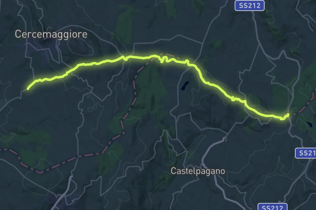
Medium · Trail
Bosco Mazzocca – San Marco
15.8 km · ↑ 464 m · 4 h 53 min · 12 km away
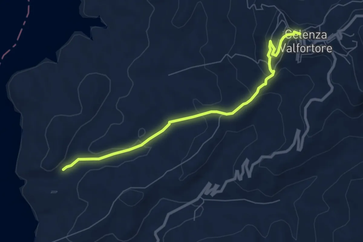
Easy · Trail
Celenza Valfortone – Torrente Gruttolo
7.1 km · ↑ 277 m · 2 h 16 min · 12 km away
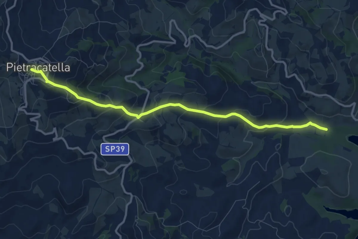
Medium · Trail
Pietracatella – 504
10.0 km · ↑ 467 m · 3 h 23 min · 12 km away
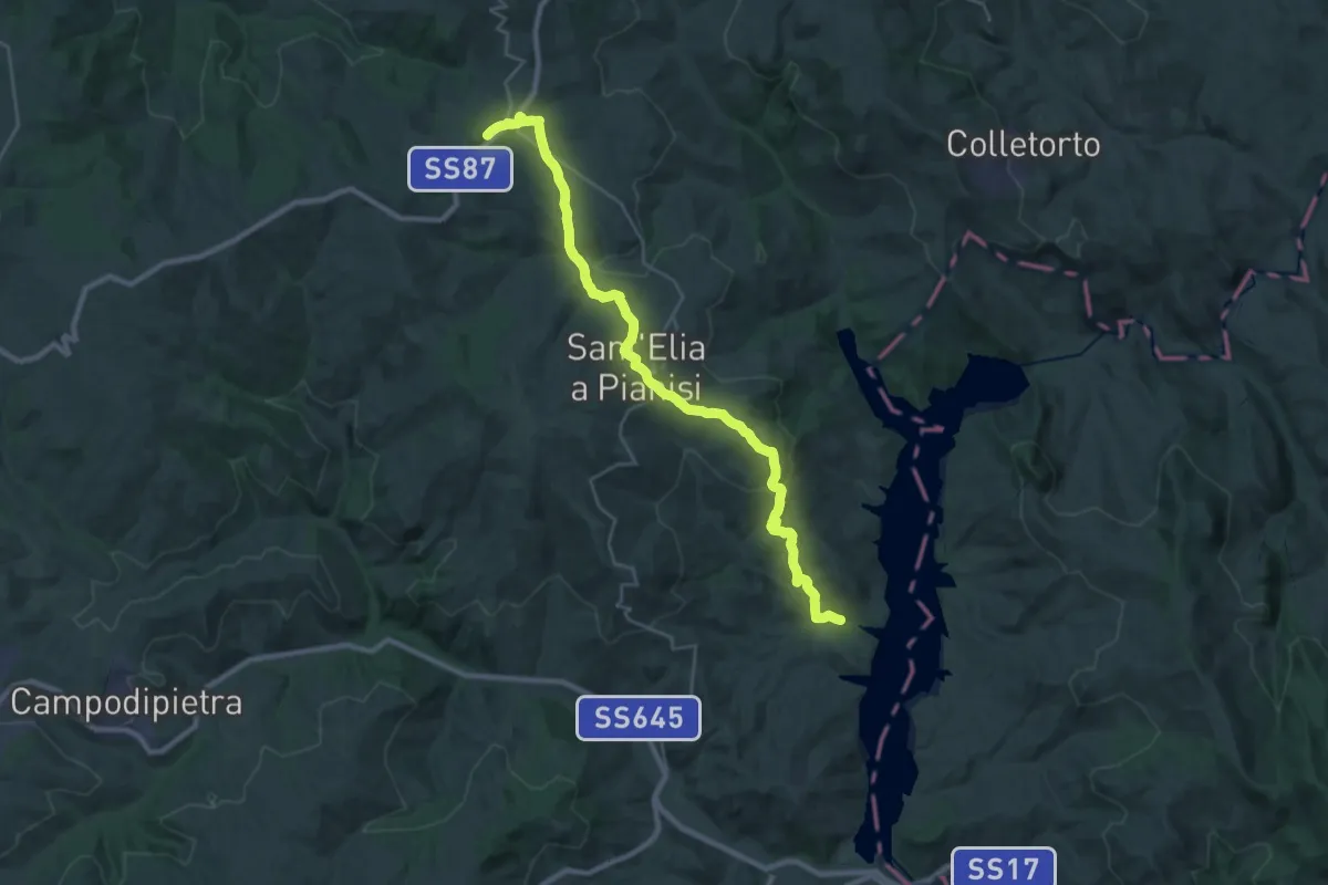
Medium · Trail
504 - Lago di Occhito – Villa Cento Celle
16.6 km · ↑ 767 m · 5 h 33 min · 12 km away
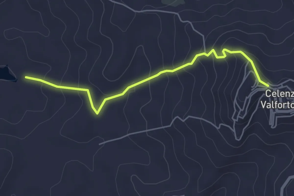
Easy · Trail
Calenza Valfortone – 315 - Lago di Occhito
4.9 km · ↑ 262 m · 1 h 44 min · 13 km away
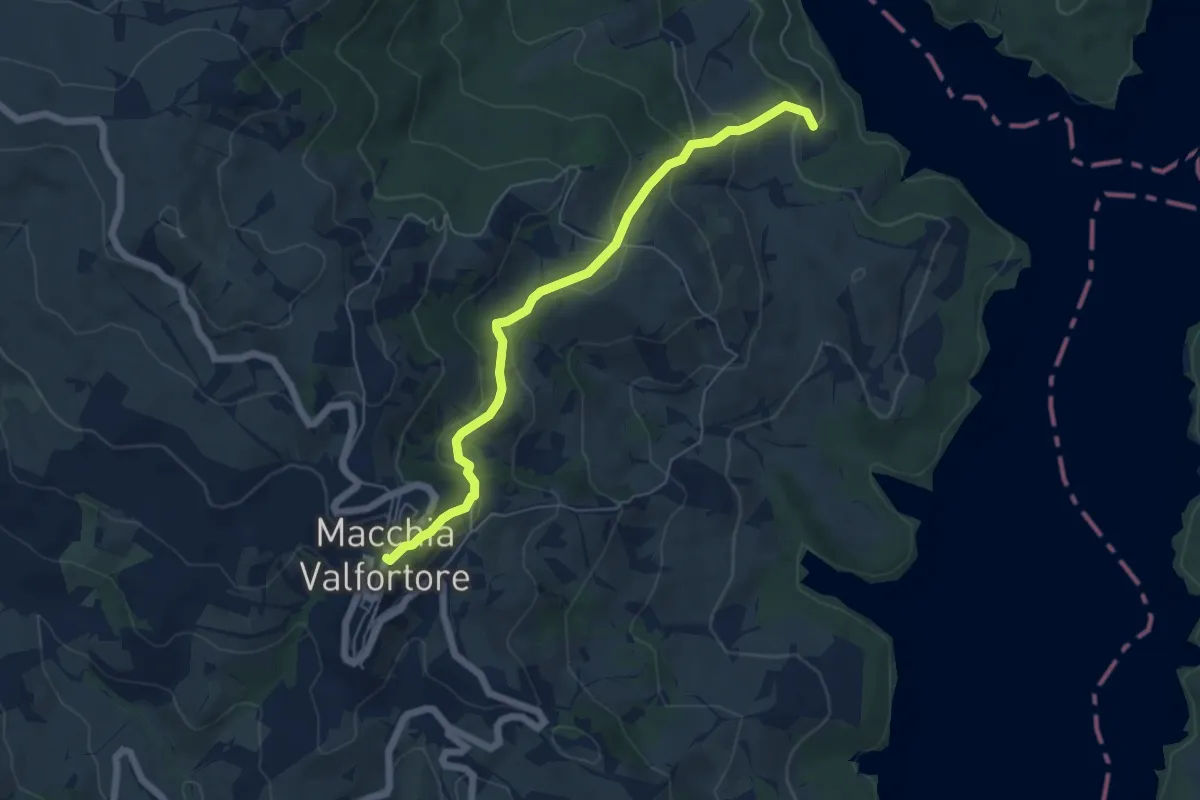
Easy · Trail
Macchia Valfortore – 504 - Lago di Occhito
6.2 km · ↑ 301 m · 2 h 6 min · 14 km away
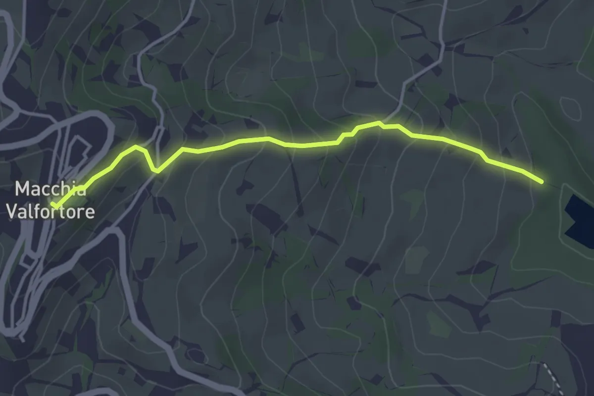
Easy · Trail
Macchia Valfortore – 504 - Lago di Occhito
3.8 km · ↑ 285 m · 1 h 31 min · 14 km away
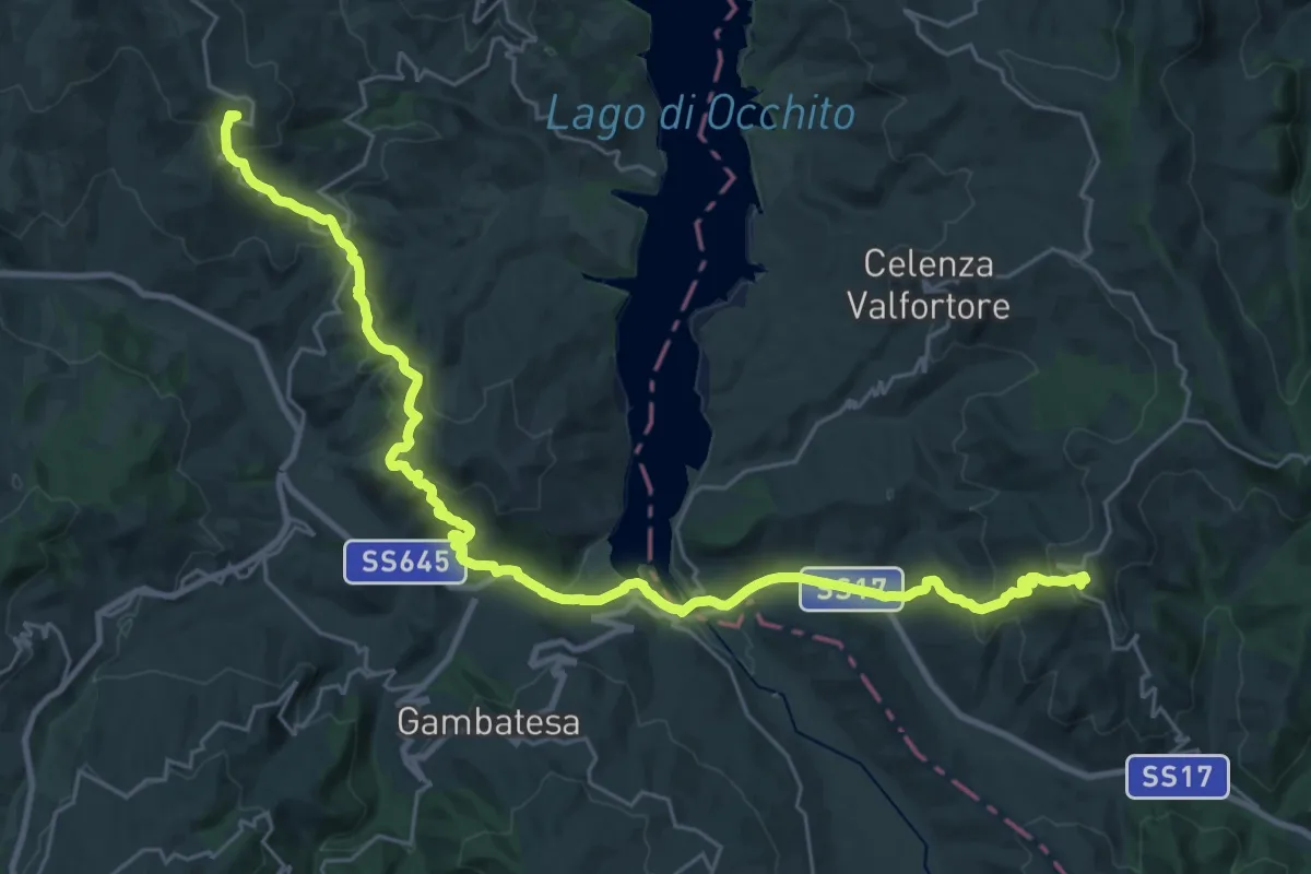
Demanding · Trail
Con le ali ai piedi - 20
18.3 km · ↑ 630 m · 5 h 57 min · 15 km away
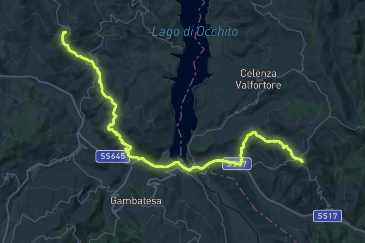
Demanding · Trail
Con le ali ai piedi - 20var
19.6 km · ↑ 675 m · 6 h 21 min · 15 km away
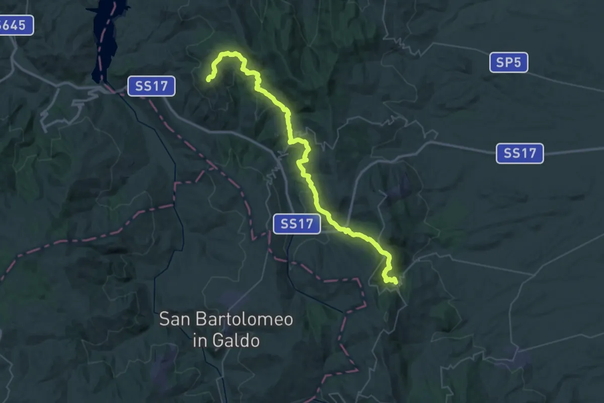
Demanding · Trail
Alberona – San Marco La Catola
22.0 km · ↑ 777 m · 7 h 9 min · 15 km away
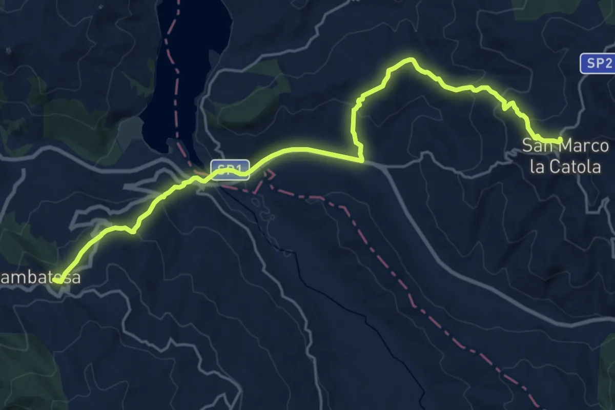
Demanding · Trail
San Marco La Catola – Gambatesa
21.1 km · ↑ 846 m · 6 h 48 min · 15 km away
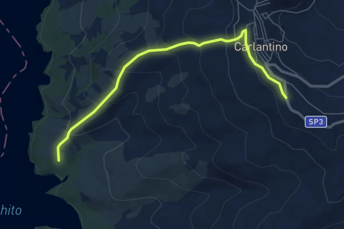
Medium · Trail
Carlatino – 315 - Lago di Occhito
6.1 km · ↑ 353 m · 2 h 13 min · 15 km away