Trails near Rivalta di Torino
71 hikes starting within 15 km, nearest first.
Nearest first, page 2 of 2
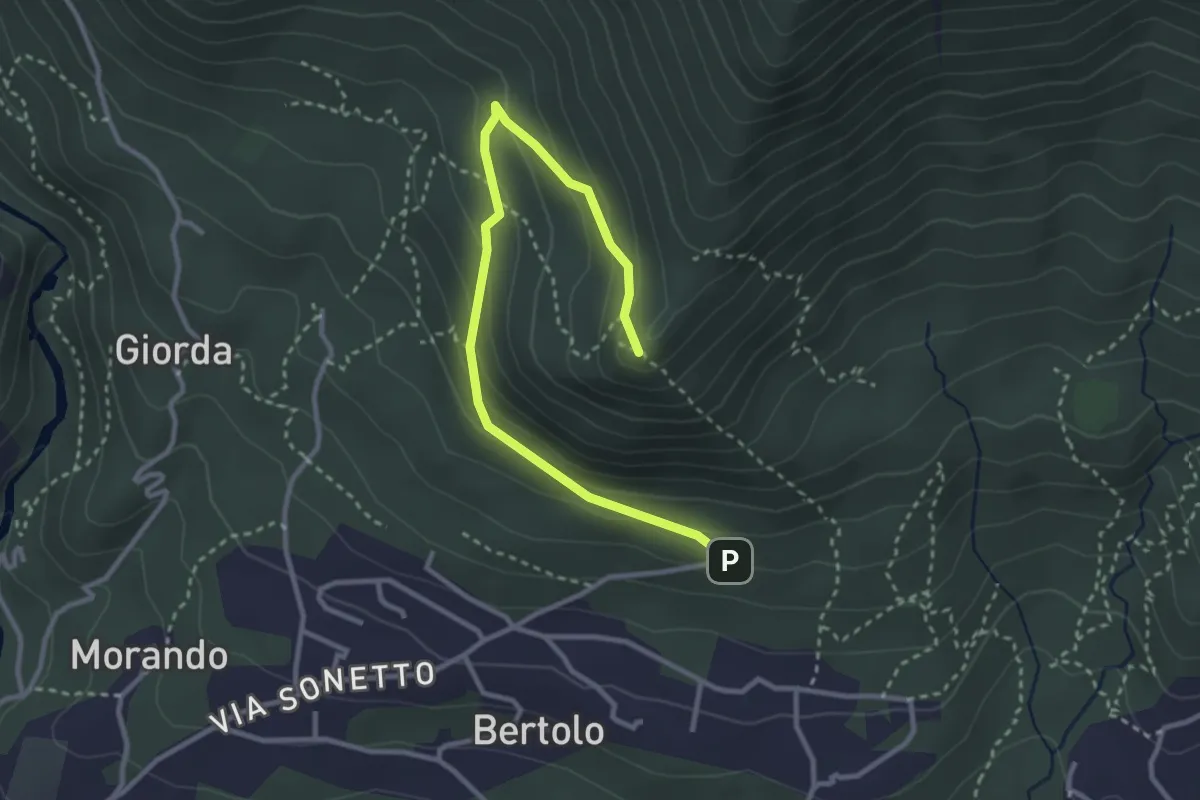
Easy · Summit
Almese, Parcheggio Pera Pluc, bivio TOS578D-TOS579 – Almese, bivio TOS578D-TOS578 presso Pilone Mollar
3.5 km · ↑ 206 m · 1 h 17 min · 13 km away
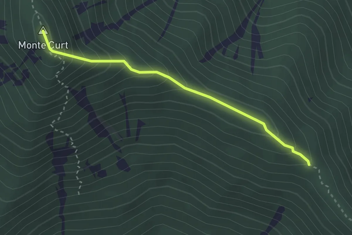
Medium · Summit
Località Taisonera, bivio TON016-TOS578 – Madonna della Bassa, bivio TON011-TON016
2.6 km · ↑ 253 m · 1 h 10 min · 13 km away
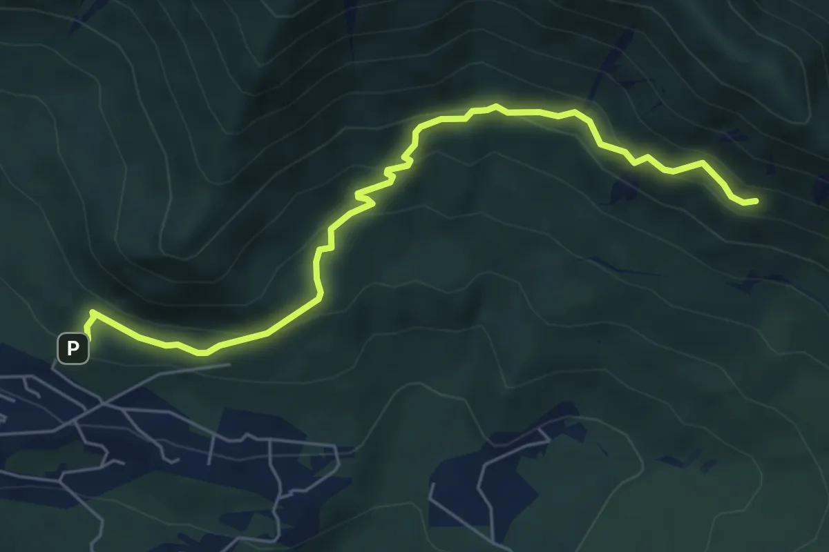
Medium · Trail
Almese, bivio TOS579-TOS579A presso loc. Le Muande – Almese, bivio TOS579-TOS579A
6.3 km · ↑ 349 m · 2 h 14 min · 13 km away
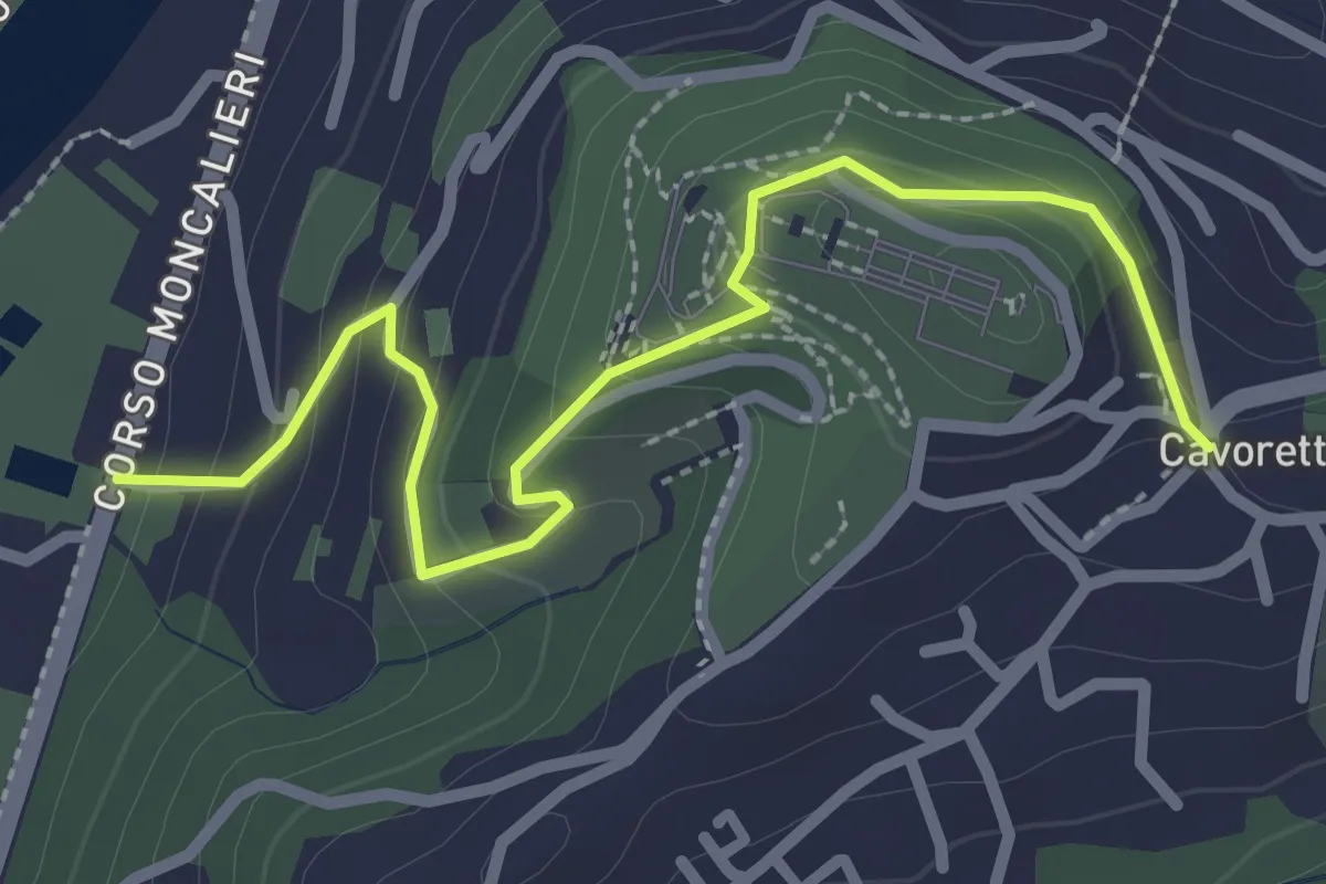
Easy · Trail
Strada Villa Zanetti, Torino – Cavoretto, Torino
2.9 km · ↑ 143 m · 1 h · 13 km away
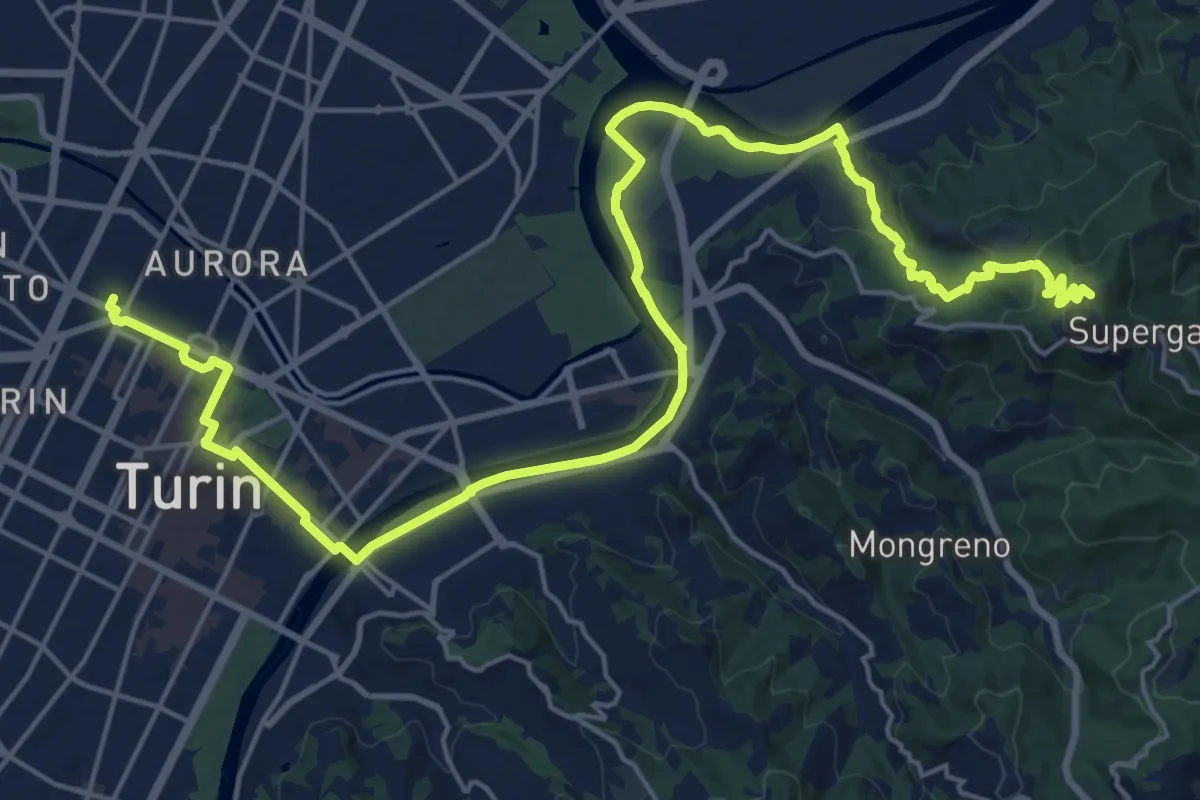
Demanding · Summit
Cammino Don Bosco Tappa 1
28.6 km · ↑ 676 m · 8 h 13 min · 13 km away
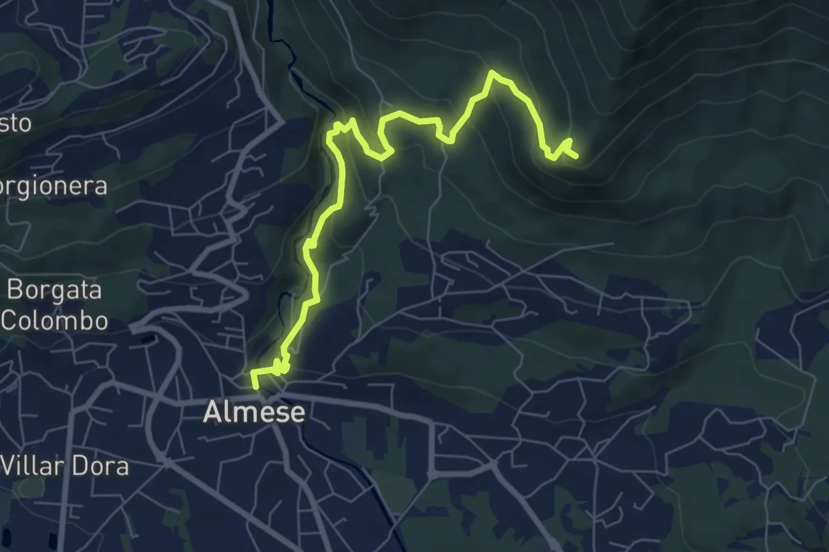
Medium · Summit
Almese, centro paese – Pian ed la Sisterna, bivio TOS574-TOS578
7.5 km · ↑ 411 m · 2 h 39 min · 13 km away
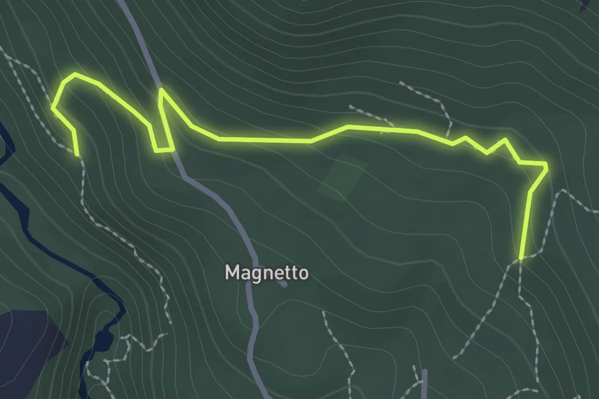
Easy · Trail
Almese, bivio TOS578A-TOS578C – Almese, bivio TOS578-TOS578C presso Frazione Bertolo
2.7 km · ↑ 129 m · 55 min · 14 km away
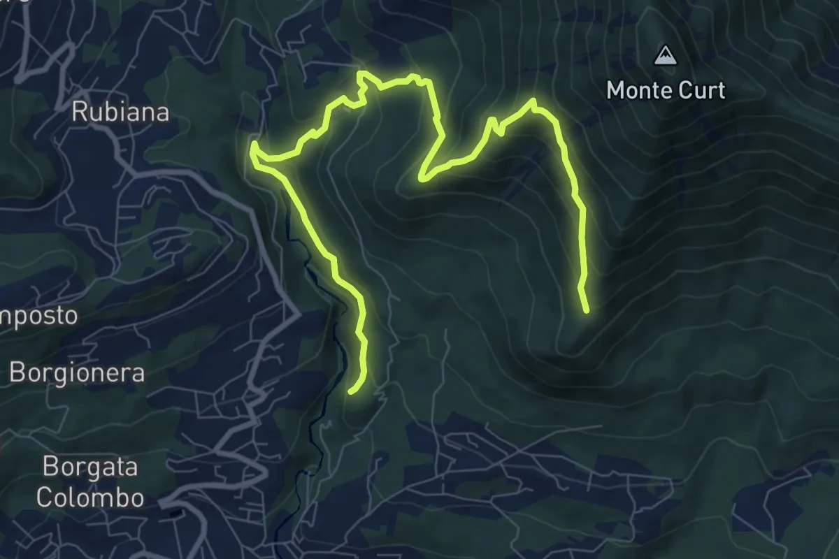
Medium · Trail
Almese, bivio TOS578-TOS578A presso torrente Messa – Almese, bivio TOS578-TOS578A presso pilone Mollar
10.8 km · ↑ 677 m · 4 h · 14 km away
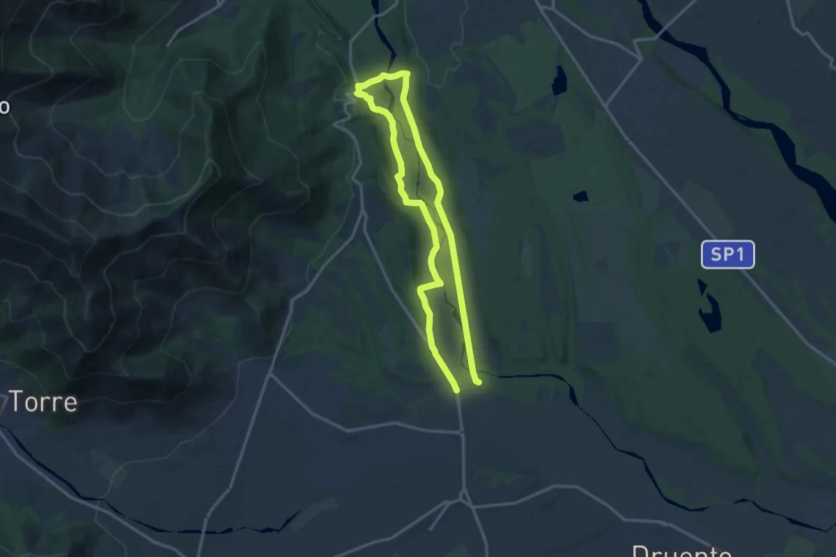
Medium · Trail
Cascina San Lorenzo – Cascina San Lorenzo
11.2 km · ↑ 109 m · 3 h 2 min · 14 km away
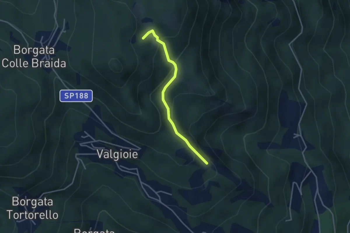
Easy · Trail
Bivio TOS451-TOS451A – Cima Castiglione, bivio TOS451-TOS451A
2.7 km · ↑ 179 m · 1 h 2 min · 14 km away
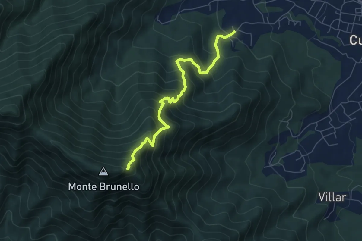
Medium · Trail
Oreglia, Bivio Porta – Bivio TOS021-TOS001
6.4 km · ↑ 722 m · 3 h 4 min · 14 km away
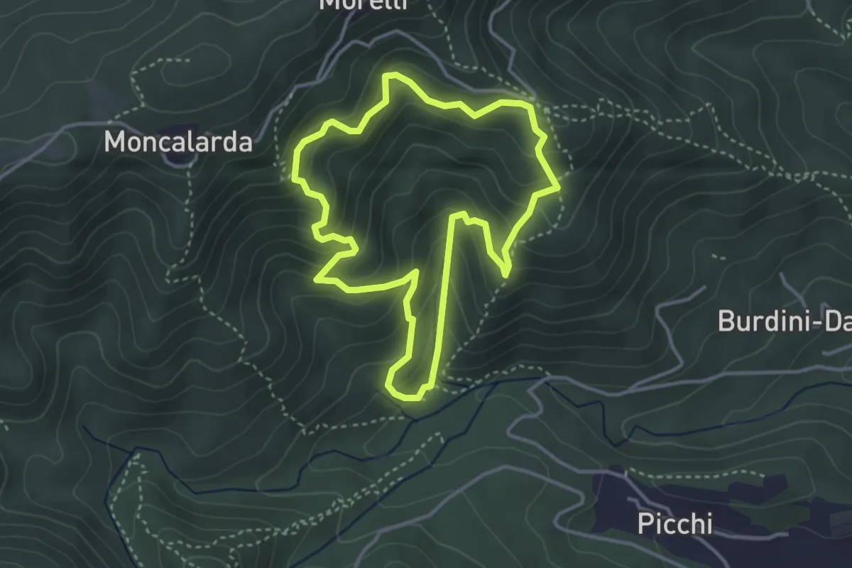
Medium · Trail
Anello Pietre Bianche
3.5 km · ↑ 291 m · 1 h 30 min · 14 km away
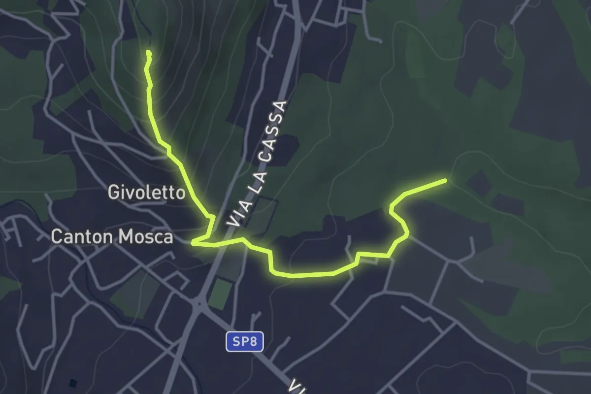
Easy · Summit
Bivio 005-005A, Forvilla – Bivio 005-005A, Givoletto
3.8 km · ↑ 216 m · 1 h 22 min · 14 km away
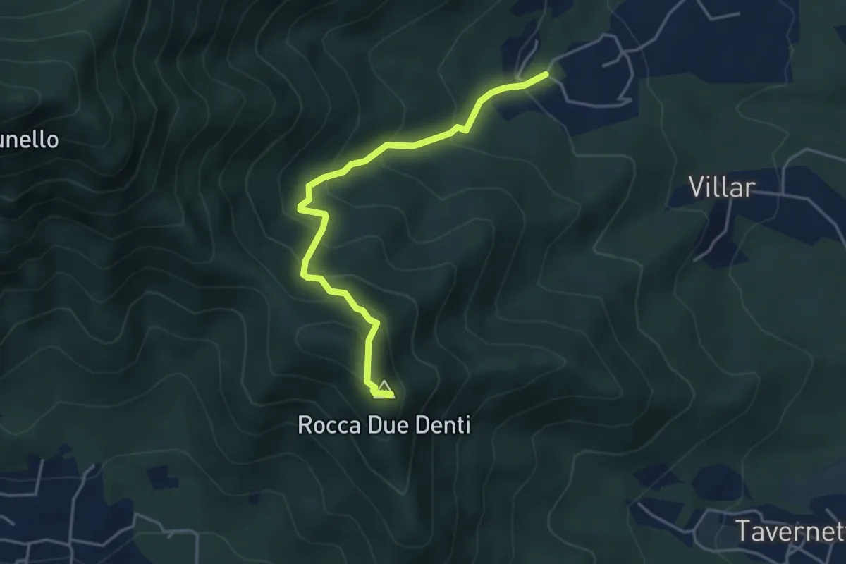
Medium · Summit
San Gervasio Superiore – Rocca Due Denti
4.1 km · ↑ 410 m · 1 h 52 min · 14 km away
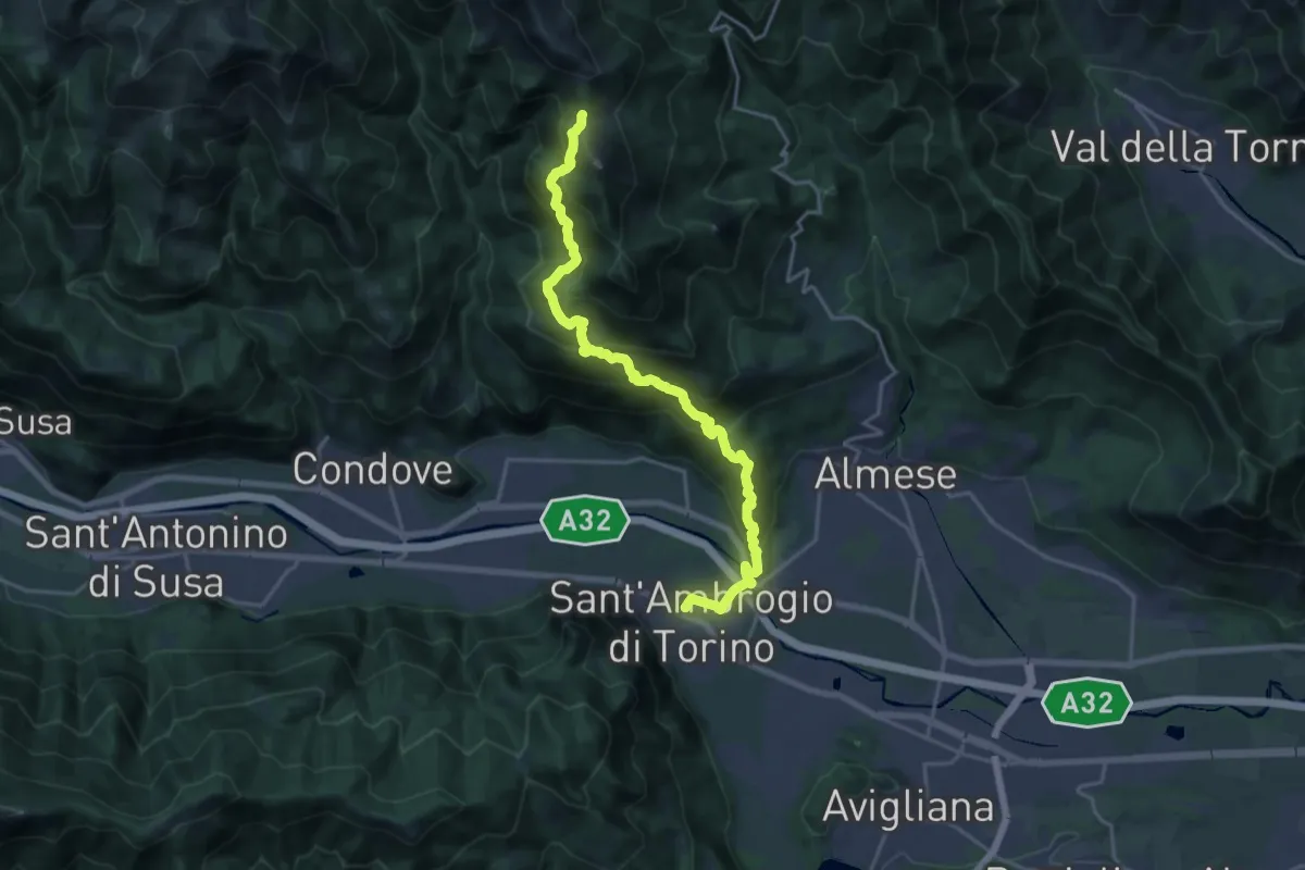
Demanding · Trail
Sant'Ambrogio – Bivio 571-577, Colle della Bassa
21.2 km · ↑ 1289 m · 7 h 48 min · 14 km away
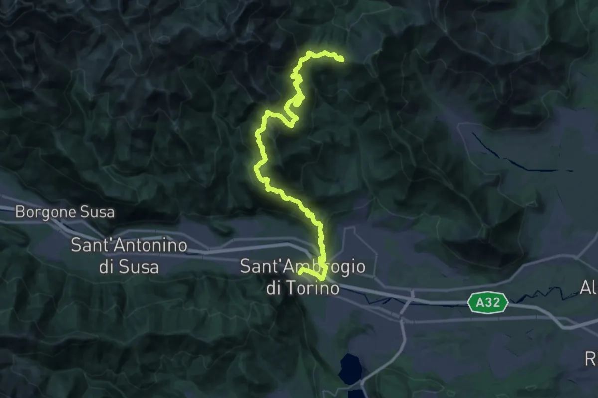
Demanding · Trail
Sentieri della Resistenza - Tappa 06
20.3 km · ↑ 1606 m · 8 h 4 min · 14 km away
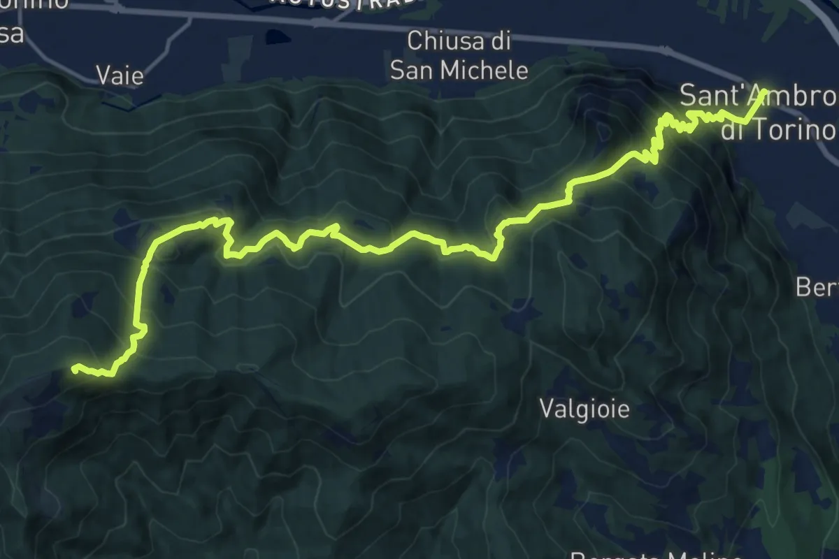
Demanding · Summit
Sentieri della Resistenza - Tappa 07
20.3 km · ↑ 1446 m · 7 h 55 min · 14 km away
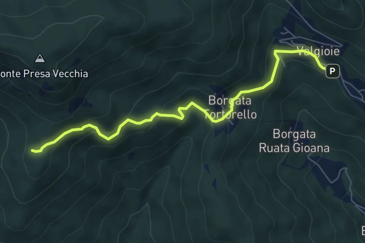
Easy · Trail
Borgata Chiodrero – Bivio 436-438
6.1 km · ↑ 292 m · 2 h 4 min · 15 km away
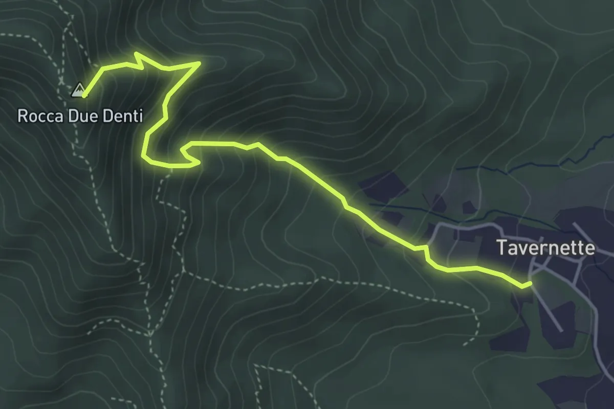
Medium · Summit
Cumiana, località Tavernette – Bivio TOS022-TOS020
4.7 km · ↑ 537 m · 2 h 17 min · 15 km away
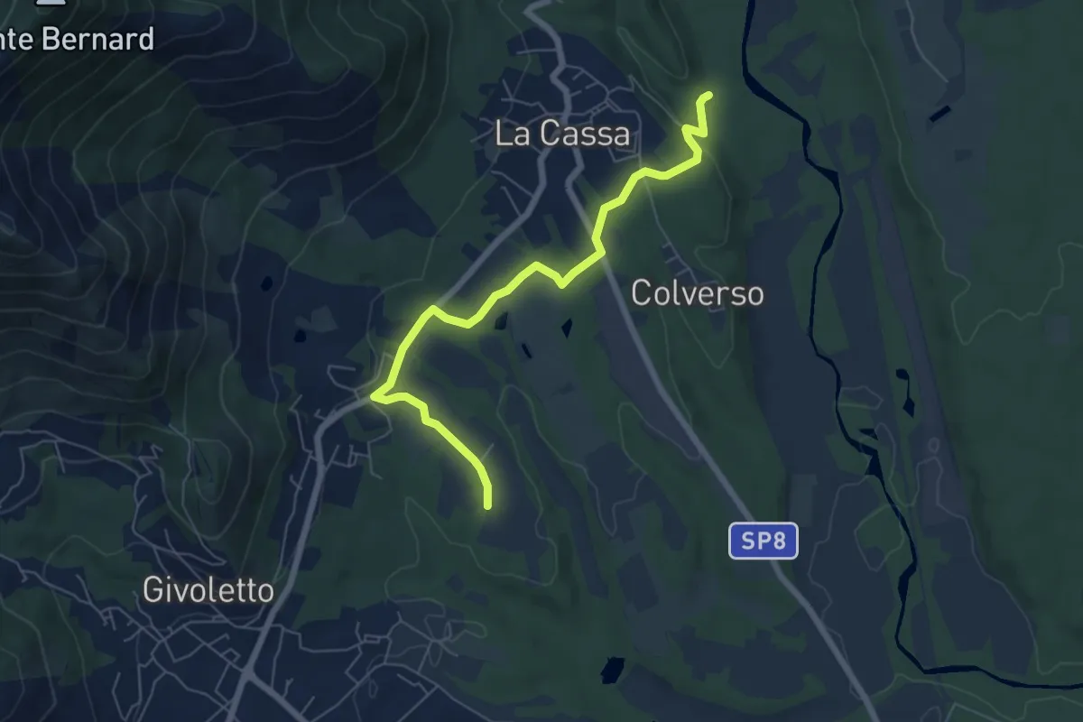
Easy · Trail
Bivio 006-007 – Bivio 005-006
6.7 km · ↑ 99 m · 1 h 47 min · 15 km away
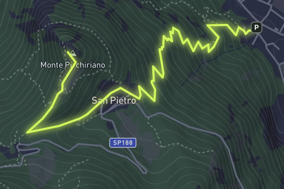
Medium · Summit
Sant'Ambrogio – Sacra San Michele
6.2 km · ↑ 579 m · 2 h 43 min · 15 km away
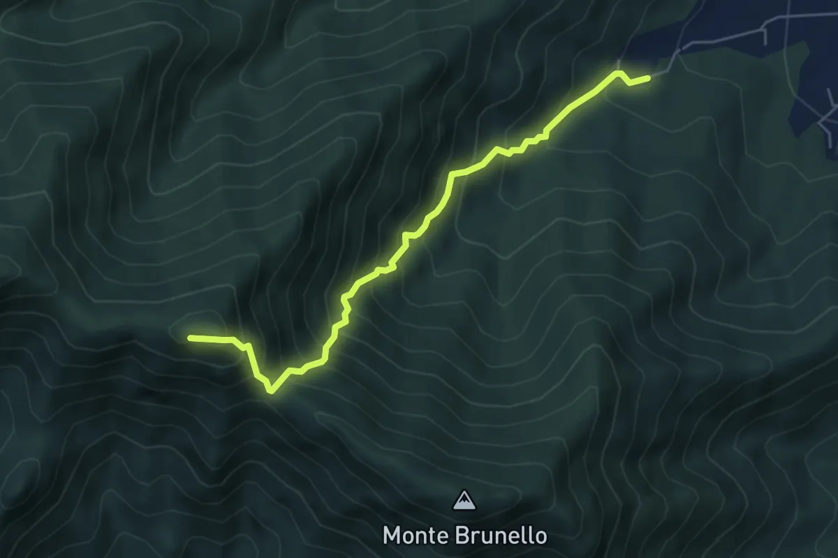
Demanding · Summit
Ciom, bivio TOS002-TOS001A – MonteTre Denti orientale, Cappella
5.5 km · ↑ 746 m · 2 h 55 min · 15 km away
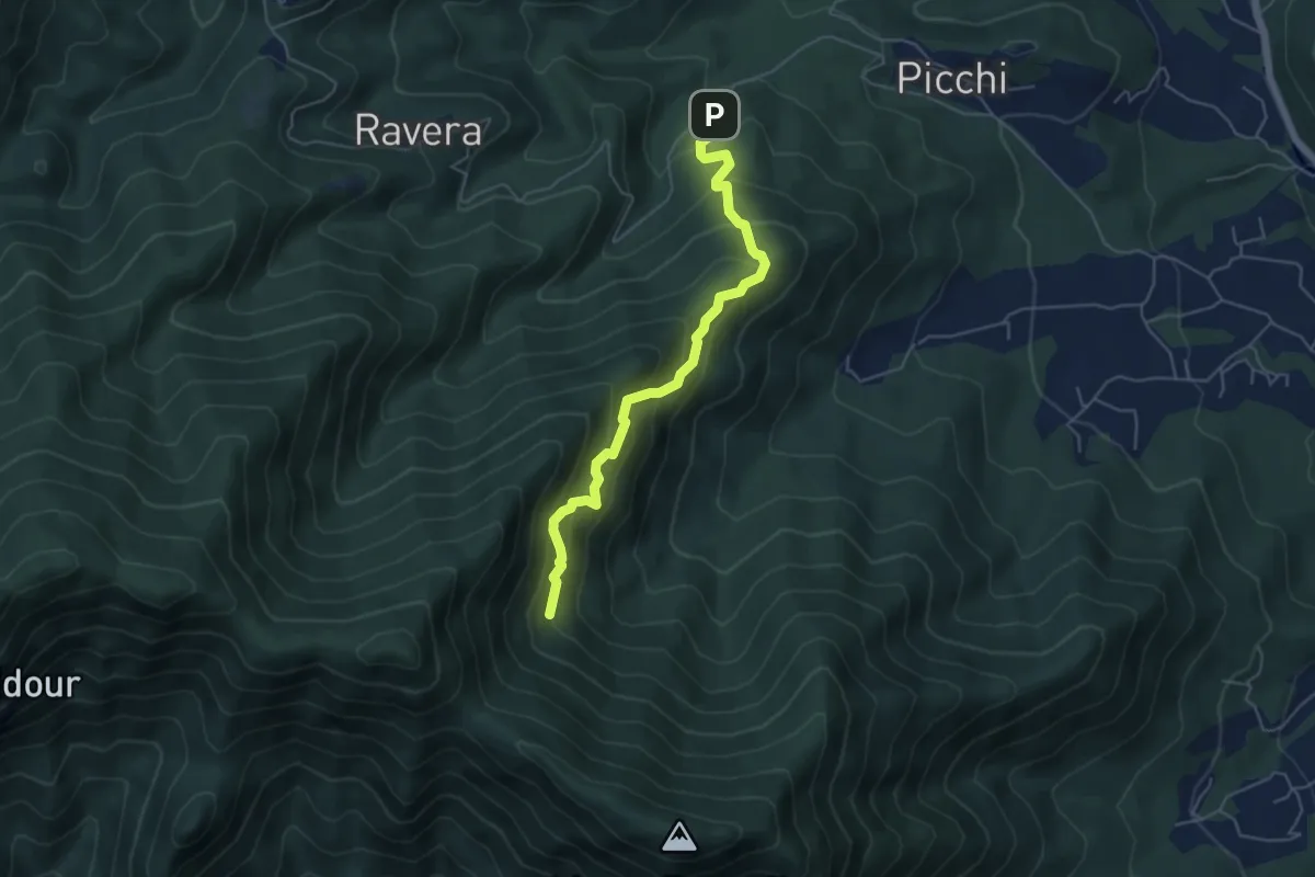
Medium · Trail
Strada Ravera presso vasca AIB – Fontana del Prete, bivio TOS002
5.2 km · ↑ 525 m · 2 h 22 min · 15 km away