Trails near Rivoli
95 hikes starting within 15 km, nearest first.
Nearest first, page 2 of 2
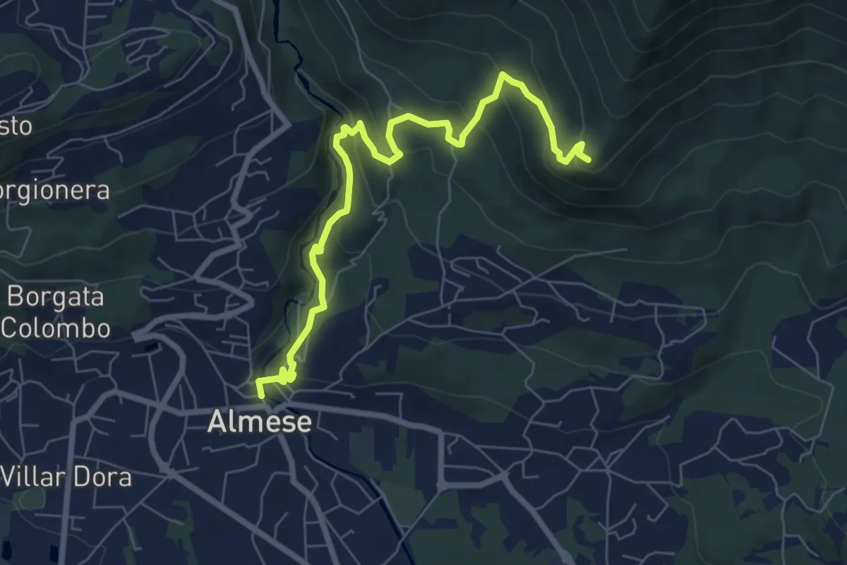
Medium · Summit
Almese, centro paese – Pian ed la Sisterna, bivio TOS574-TOS578
7.5 km · ↑ 411 m · 2 h 39 min · 11 km away
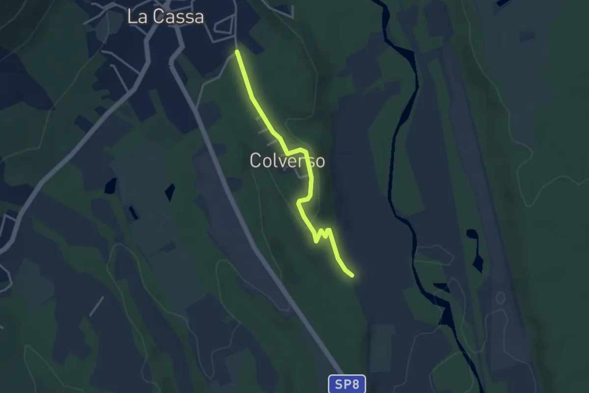
Easy · Trail
Bivio 006-006B, La Cassa, Via Colverso – Bivio 006B-007, Regione Colverso
3.1 km · ↑ 66 m · 52 min · 11 km away
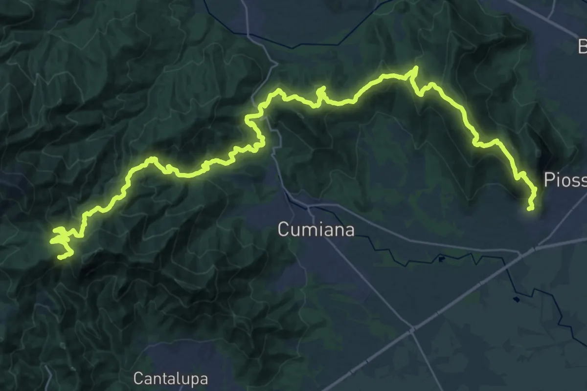
Demanding · Summit
Sentiero David Bertrand
48.3 km · ↑ 2704 m · 17 h 15 min · 11 km away
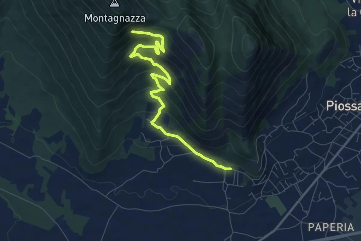
Medium · Trail
Casa Martignona, bivio TOP307-TOP308 – Colle di Prè, bivio TOP307-TOP308
8.2 km · ↑ 396 m · 2 h 47 min · 11 km away
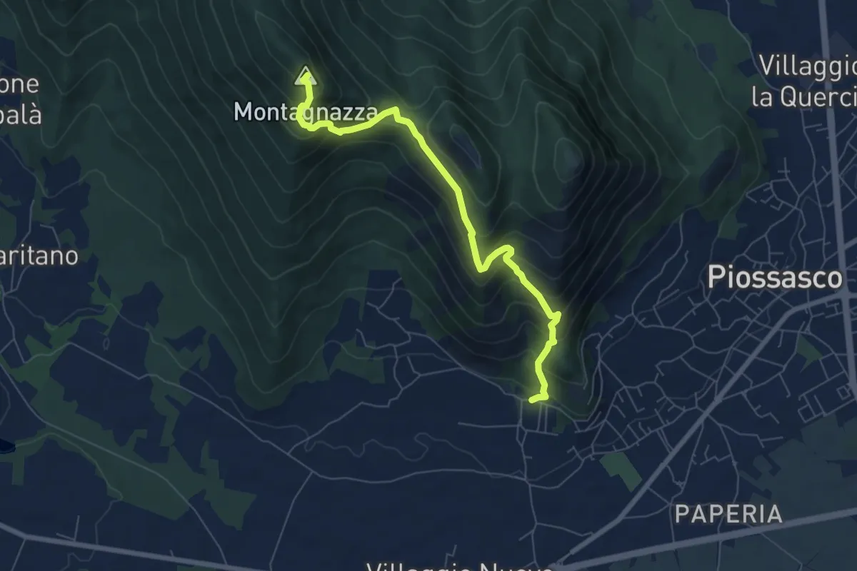
Medium · Summit
Bivio TOP306-TOP308, località Martignone – Bivio TOP307-TOS450 presso Colletto di Damone
7.0 km · ↑ 576 m · 2 h 55 min · 11 km away
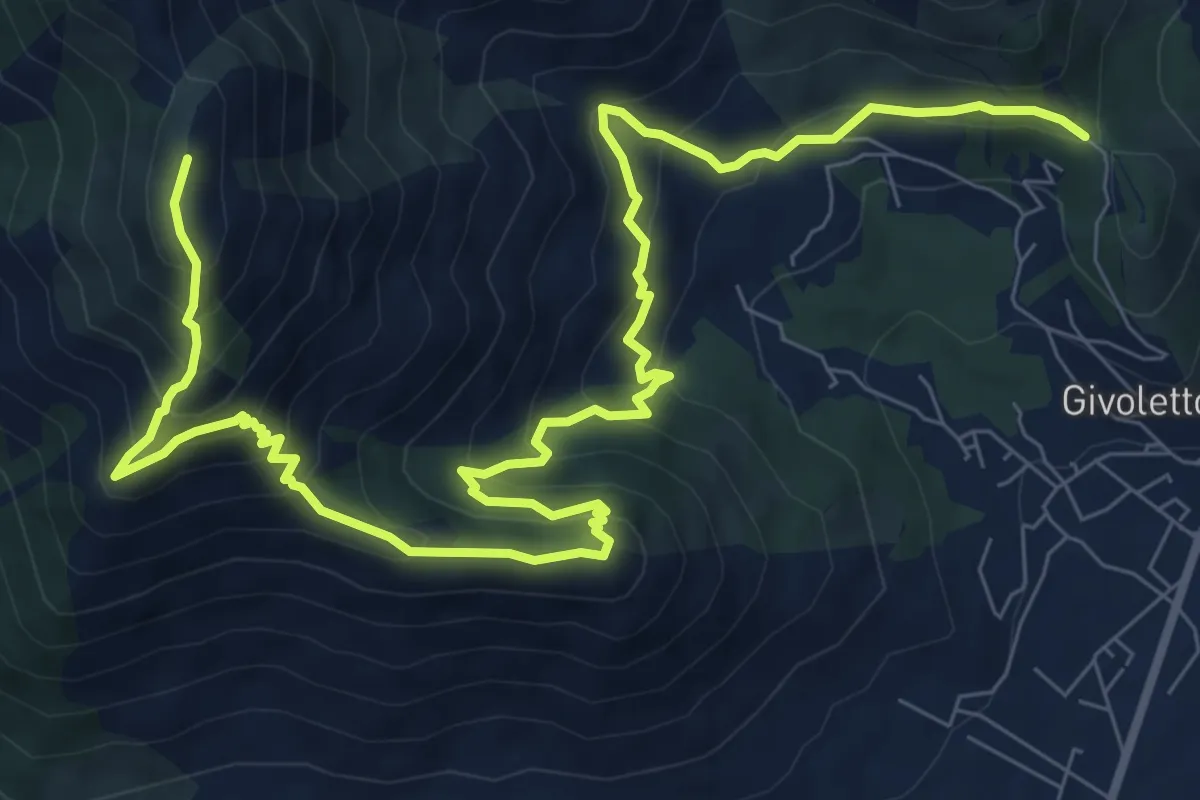
Demanding · Summit
Bivio 010-010A, Bassa delle Sette – Bivio 005A-010A, Monte Castello
12.9 km · ↑ 1101 m · 5 h 26 min · 11 km away
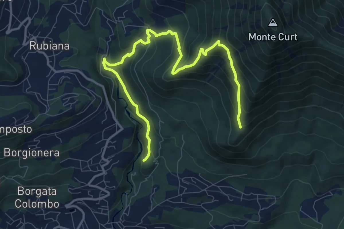
Medium · Trail
Almese, bivio TOS578-TOS578A presso torrente Messa – Almese, bivio TOS578-TOS578A presso pilone Mollar
10.8 km · ↑ 677 m · 4 h · 11 km away
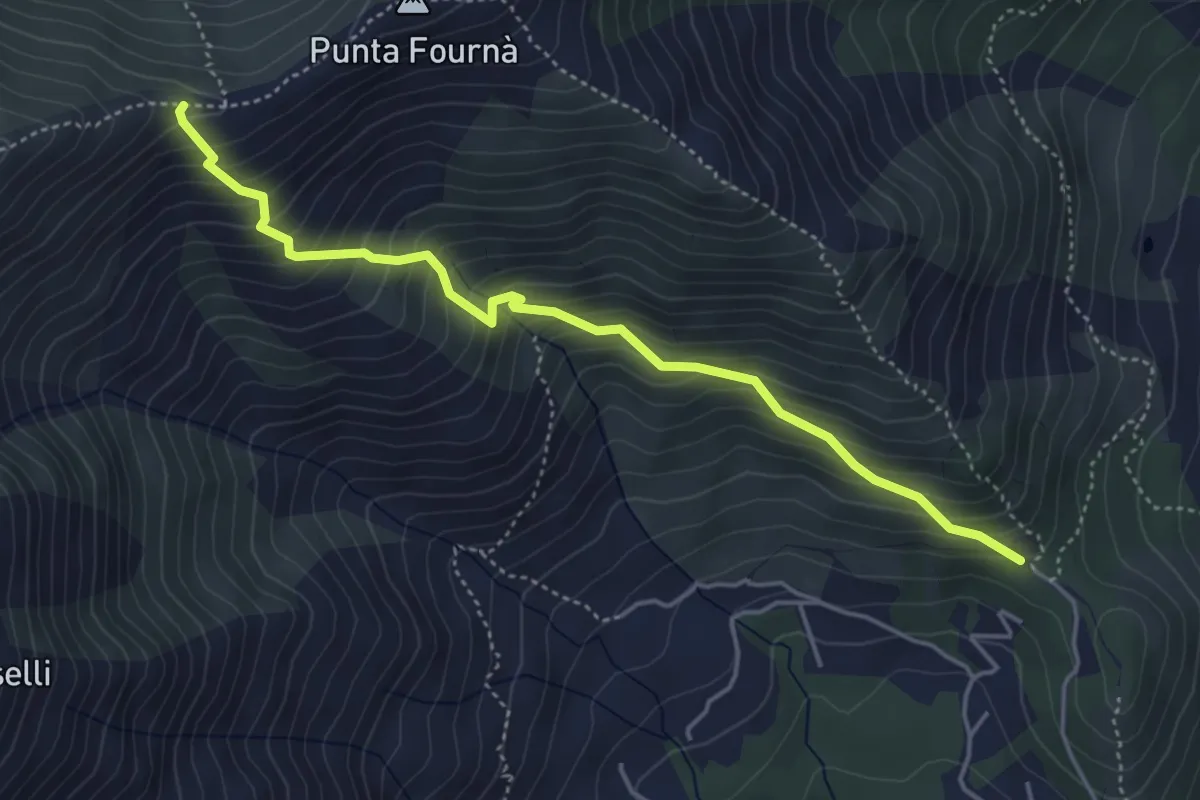
Medium · Trail
Bivio 010A-010C, Monte Castello – Bivio 010C-043, Madonna della Neve
4.8 km · ↑ 559 m · 2 h 20 min · 11 km away
Medium · Trail
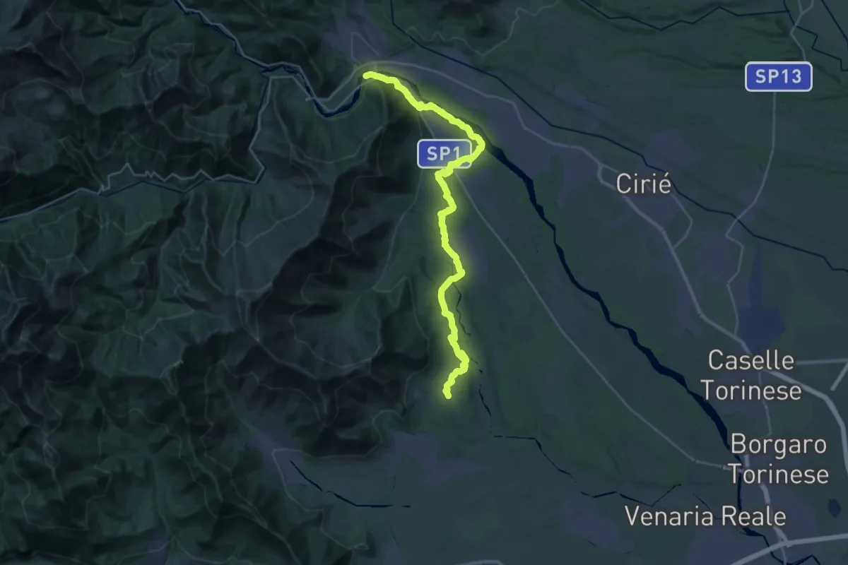
Anello Ceronda - Tappa 5
17.7 km · ↑ 358 m · 5 h 9 min · 11 km away
Demanding · Trail
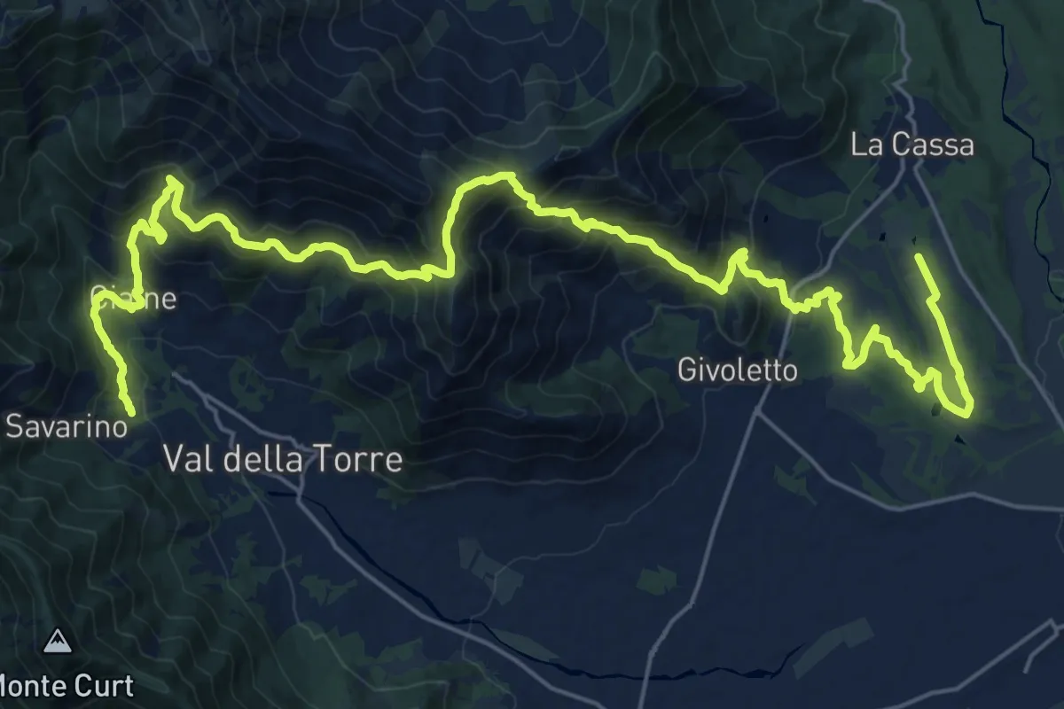
Anello Ceronda - Tappa 4
16.6 km · ↑ 1065 m · 6 h 20 min · 11 km away
Easy · Trail
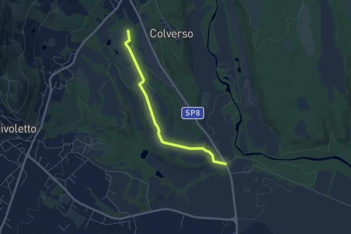
Bivio 006A-007, Cascina San Lorenzo – Bivio 006-006A, Cascina San Giovanni
5.4 km · ↑ 62 m · 1 h 24 min · 12 km away
Demanding · Cabin
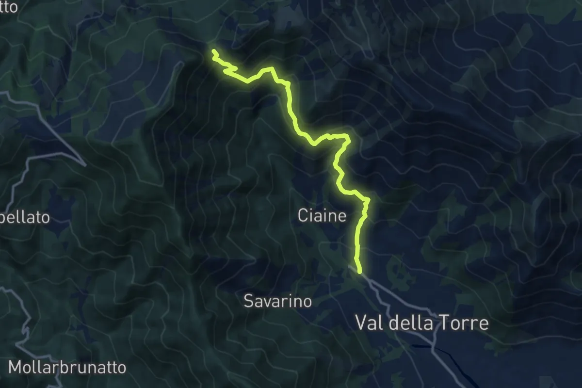
Val della Torre – Bivio 002-002A-012, Colle Portia
10.7 km · ↑ 832 m · 4 h 20 min · 12 km away
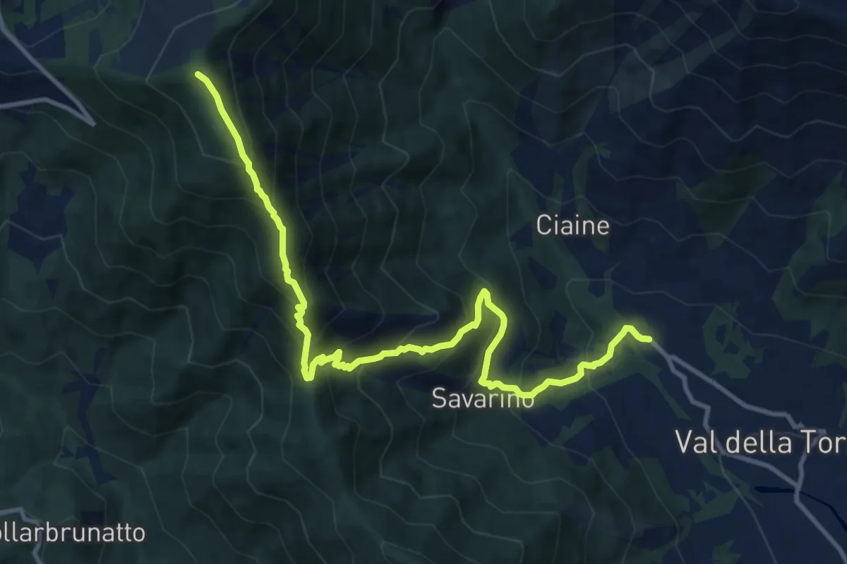
Demanding · Trail
Bivio 001-011, Malandrino – Bivio 002A-011, Monte Arpone
12.4 km · ↑ 1051 m · 5 h 13 min · 12 km away
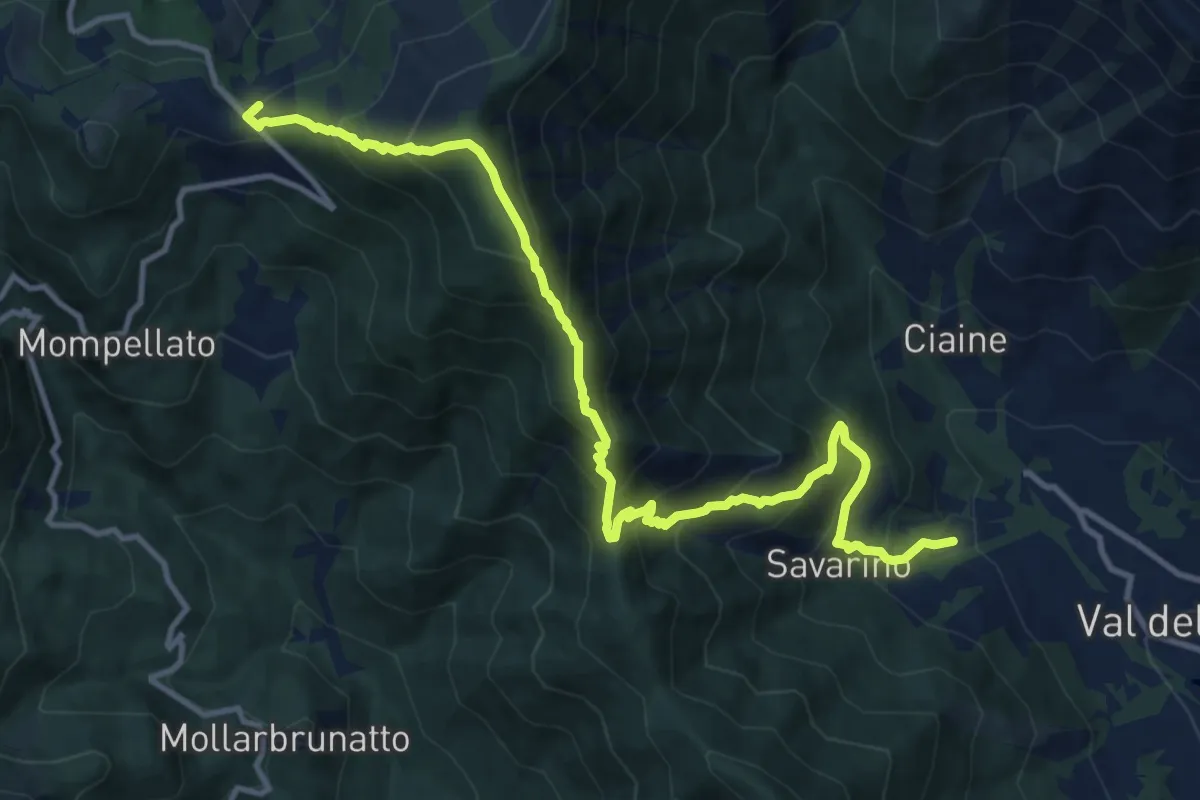
Demanding · Trail
Anello Ceronda - Tappa 3
13.6 km · ↑ 1265 m · 5 h 57 min · 12 km away
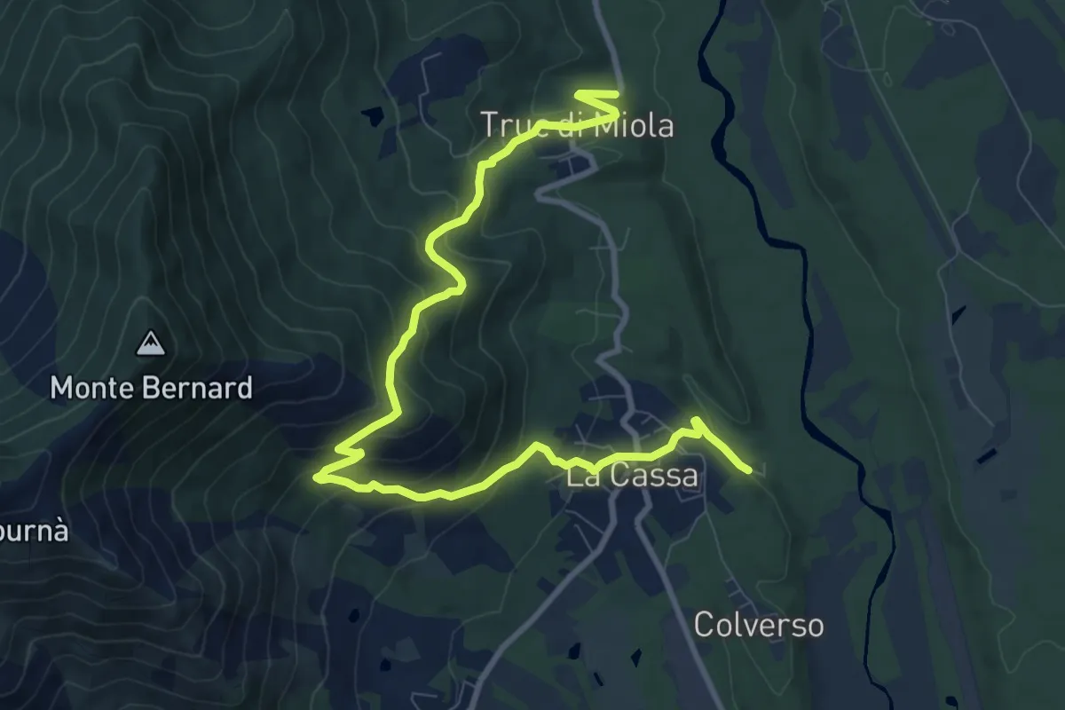
Medium · Trail
Bivio 006-008, Cascina San Lorenzo – Bivio 007-008, Truc di Miola
11.5 km · ↑ 658 m · 4 h 8 min · 12 km away
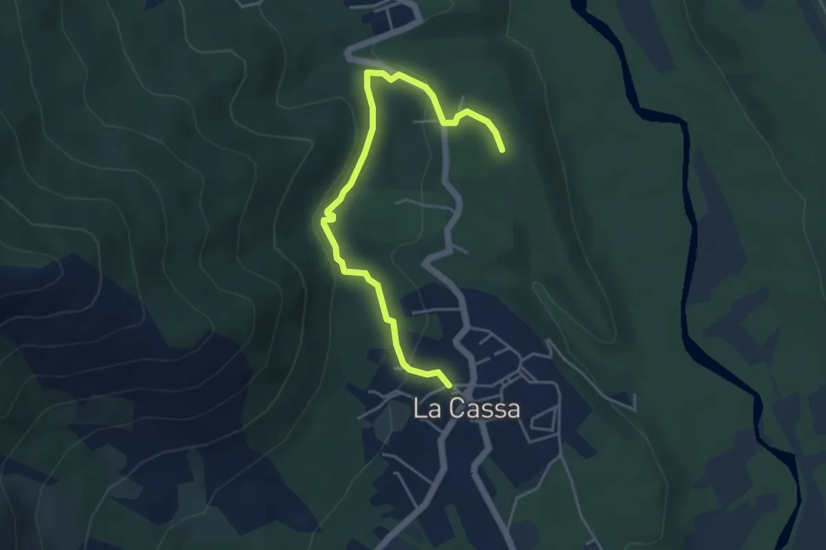
Medium · Trail
Bivio 008-008B, La Cassa – Bivio 008B-008C
4.4 km · ↑ 121 m · 1 h 18 min · 12 km away
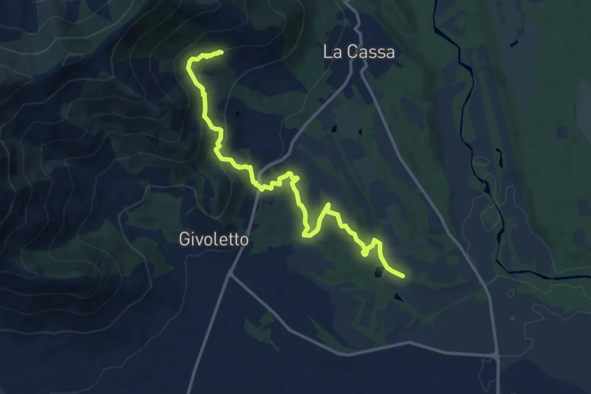
Medium · Trail
Bivio 005-006A, Cascina San Lorenzo – Bivio 005-008, Costa Bella
11.1 km · ↑ 430 m · 3 h 34 min · 12 km away
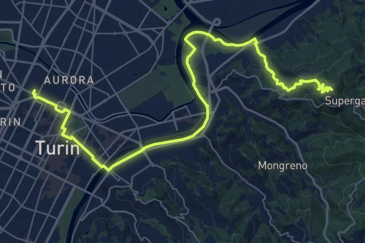
Demanding · Summit
Cammino Don Bosco Tappa 1
28.6 km · ↑ 676 m · 8 h 13 min · 12 km away
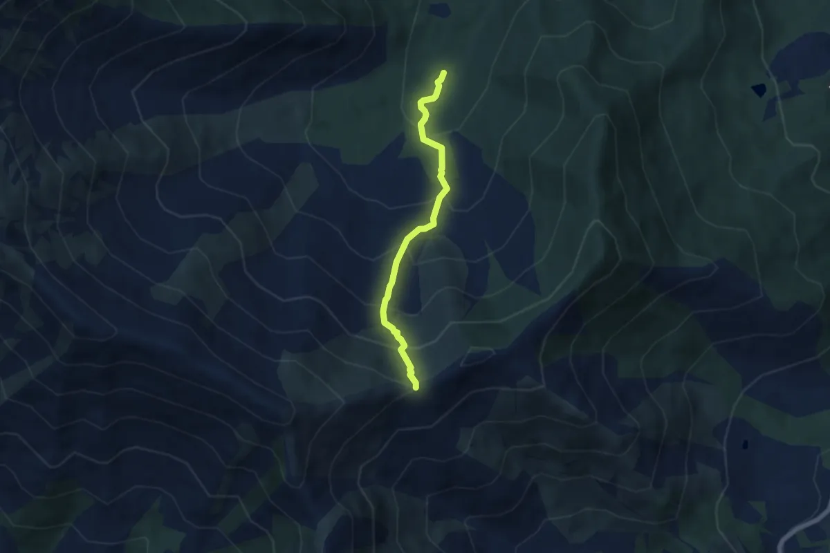
Medium · Trail
040-043-045, Area Camper – Bivio 010-043, Madonna della Neve
5.1 km · ↑ 532 m · 2 h 21 min · 13 km away
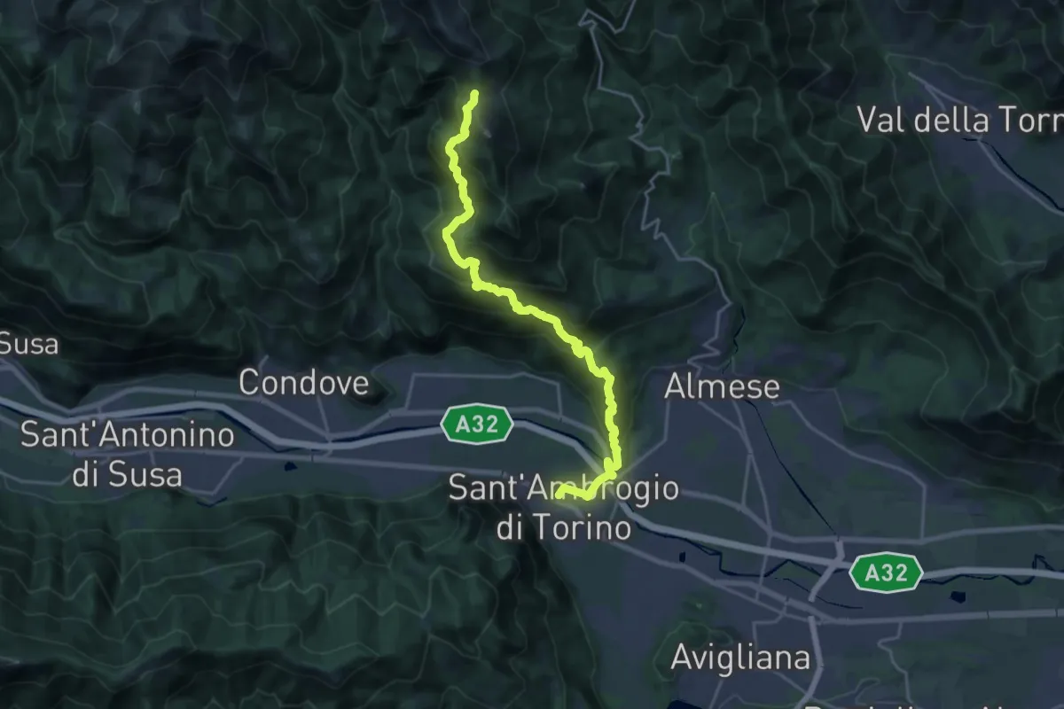
Demanding · Trail
Sant'Ambrogio – Bivio 571-577, Colle della Bassa
21.2 km · ↑ 1289 m · 7 h 48 min · 13 km away
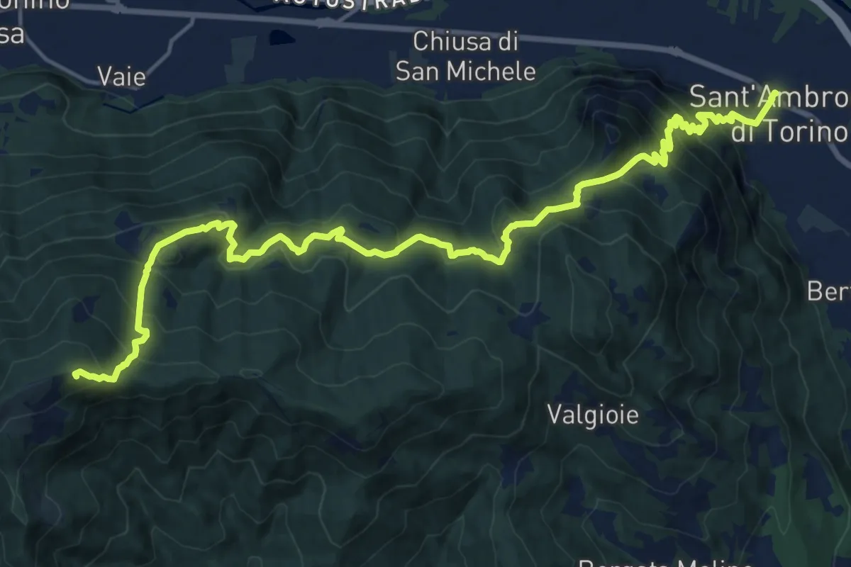
Demanding · Summit
Sentieri della Resistenza - Tappa 07
20.3 km · ↑ 1446 m · 7 h 55 min · 13 km away
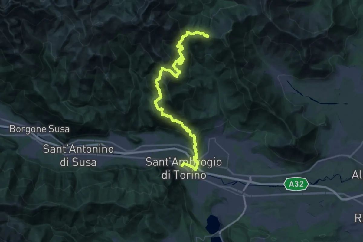
Demanding · Trail
Sentieri della Resistenza - Tappa 06
20.3 km · ↑ 1606 m · 8 h 4 min · 13 km away
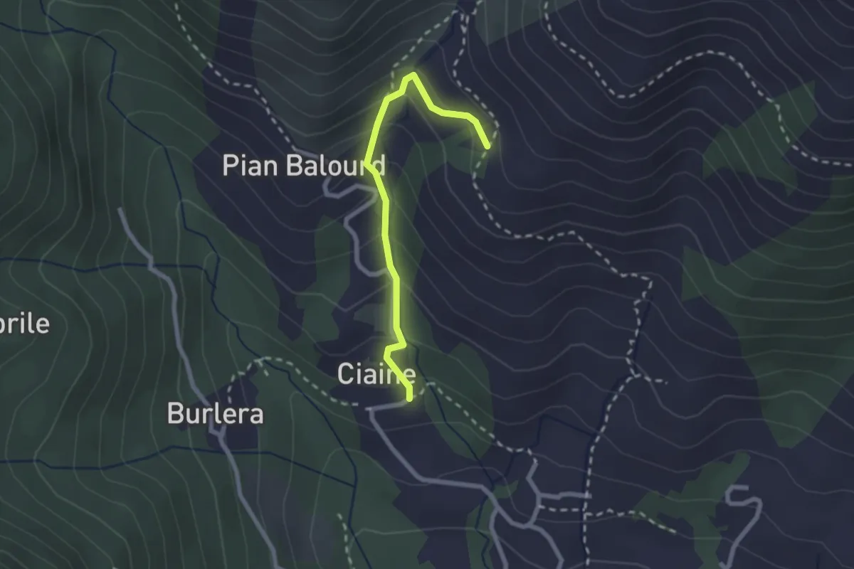
Medium · Trail
Bivio 001-002B, Ciaine – Bivio 002-002B, Case Fontanabruna
2.2 km · ↑ 194 m · 56 min · 13 km away
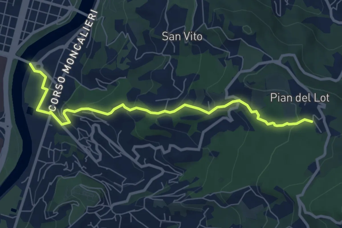
Medium · Trail
Sentieri della Collina Torinese 14
7.0 km · ↑ 335 m · 2 h 22 min · 13 km away
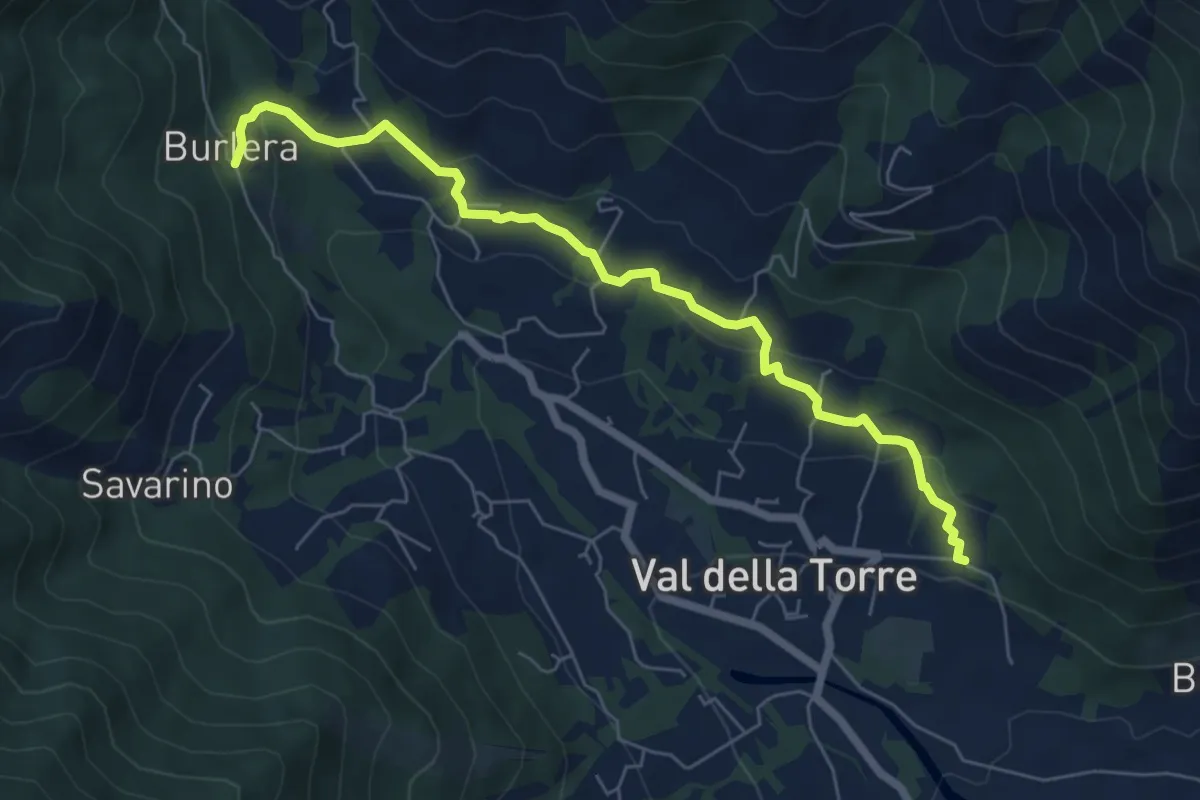
Easy · Trail
Bivio 001-001A, Chiesa San Donato – Bivio 001-001A, Burlera
6.8 km · ↑ 237 m · 2 h 7 min · 13 km away
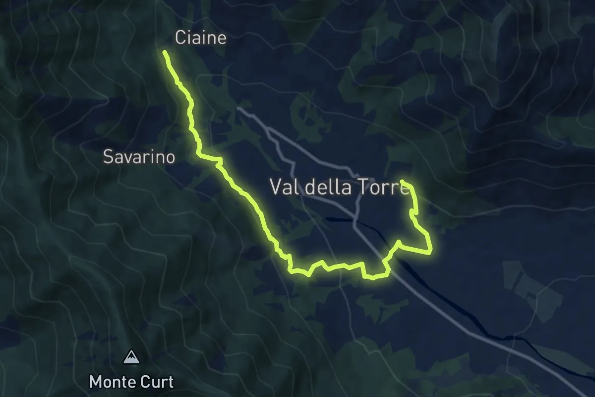
Medium · Trail
Bivio 001-001A, San Donato – Bivio 001-001A, Burlera
10.9 km · ↑ 399 m · 3 h 27 min · 13 km away
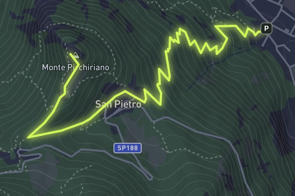
Medium · Summit
Sant'Ambrogio – Sacra San Michele
6.2 km · ↑ 579 m · 2 h 43 min · 13 km away
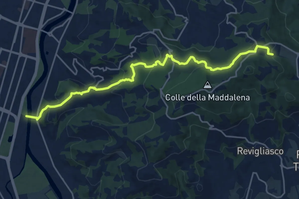
Medium · Trail
Torino, Corso Moncalieri, passerella pedonale – Pecetto Torinese , Eremo dei Camaldolesi, bivio TOC012-TOC003
14.1 km · ↑ 585 m · 4 h 36 min · 13 km away
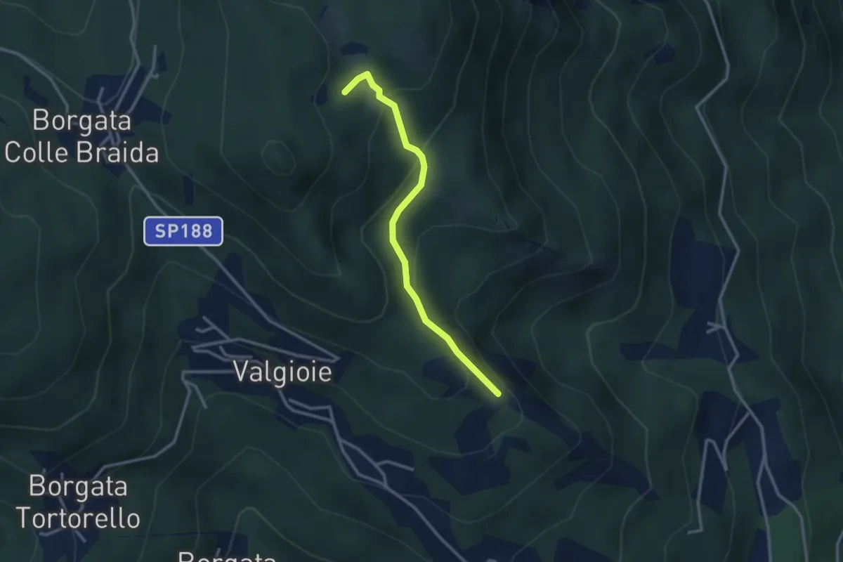
Easy · Trail
Bivio TOS451-TOS451A – Cima Castiglione, bivio TOS451-TOS451A
2.7 km · ↑ 179 m · 1 h 2 min · 13 km away
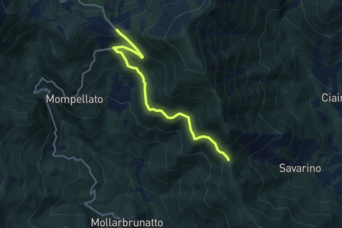
Medium · Trail
Bivio 570-570C, Colle del Lis – Bivio 011-570C, Madonna della Bassa
8.4 km · ↑ 400 m · 2 h 52 min · 13 km away
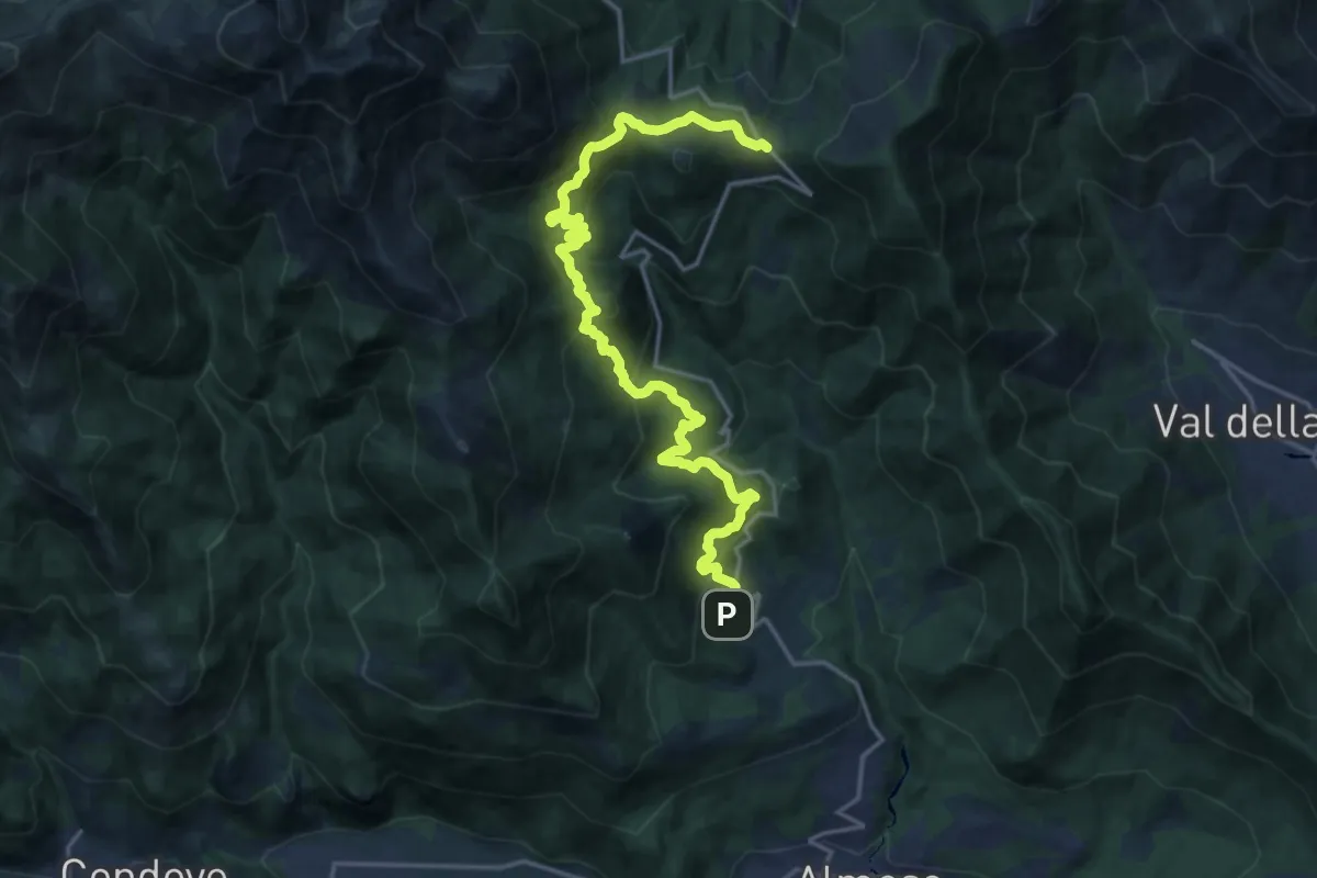
Demanding · Trail
Rocco, Rubiana – Bivio 102B-570-570C-570D, Colle del Lys
20.9 km · ↑ 1165 m · 7 h 27 min · 13 km away
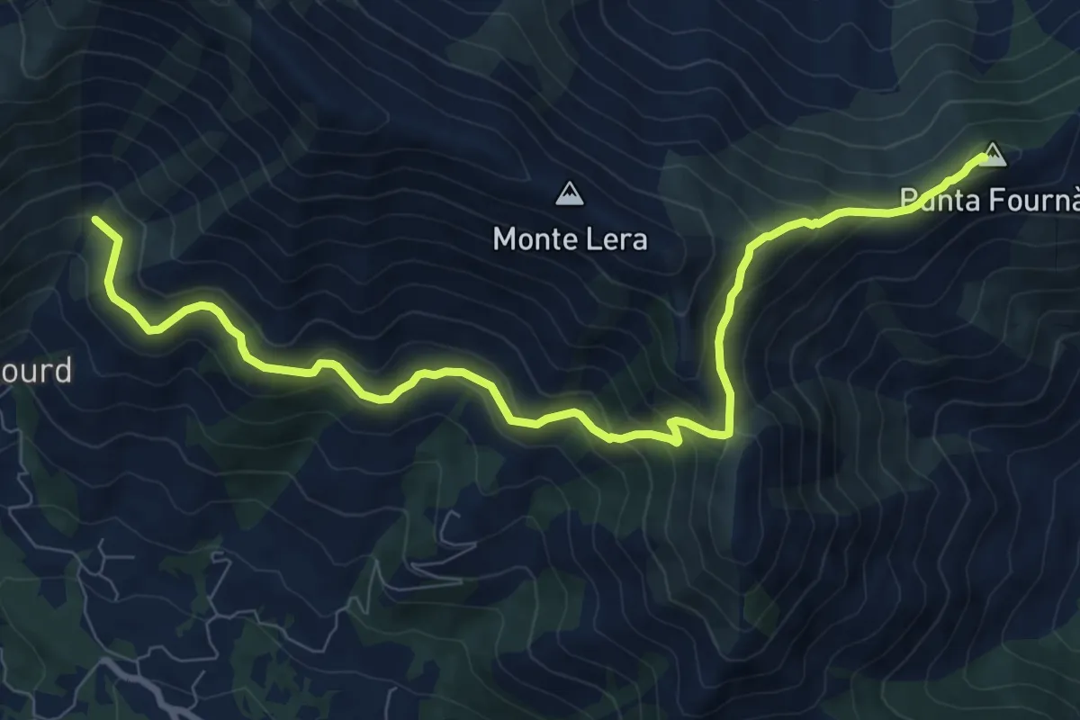
Demanding · Summit
Bivio 002-010, Case Fontanabruna – Punta Fournà
10.4 km · ↑ 623 m · 3 h 48 min · 14 km away
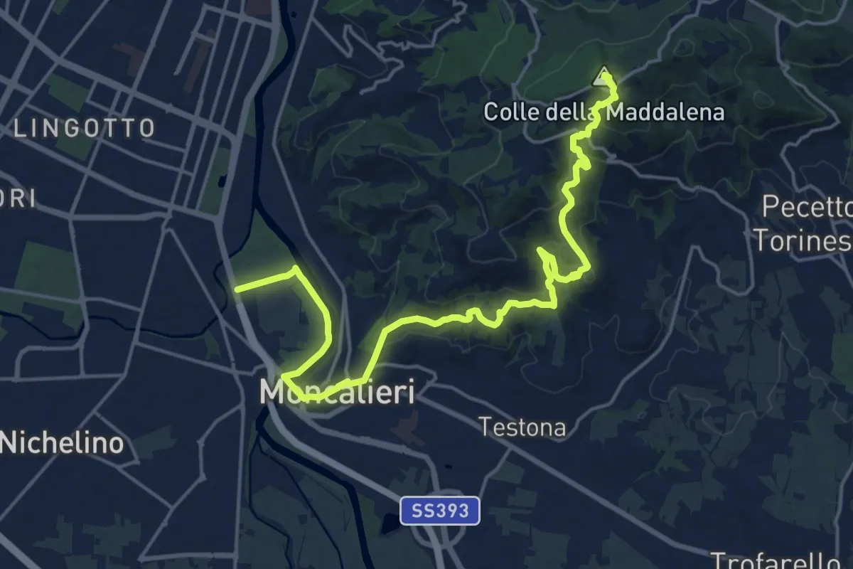
Demanding · Summit
Grande Traversata della Collina Tratto 1
21.3 km · ↑ 707 m · 6 h 34 min · 14 km away
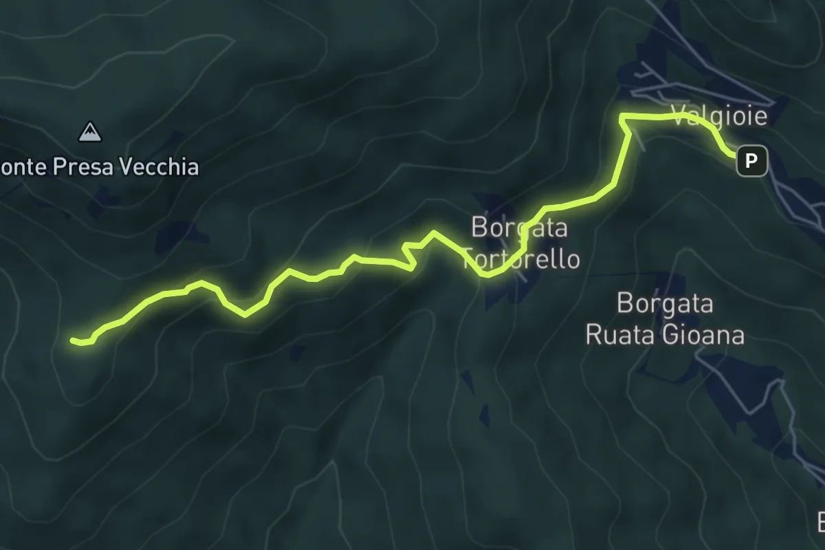
Easy · Trail
Borgata Chiodrero – Bivio 436-438
6.1 km · ↑ 292 m · 2 h 4 min · 14 km away
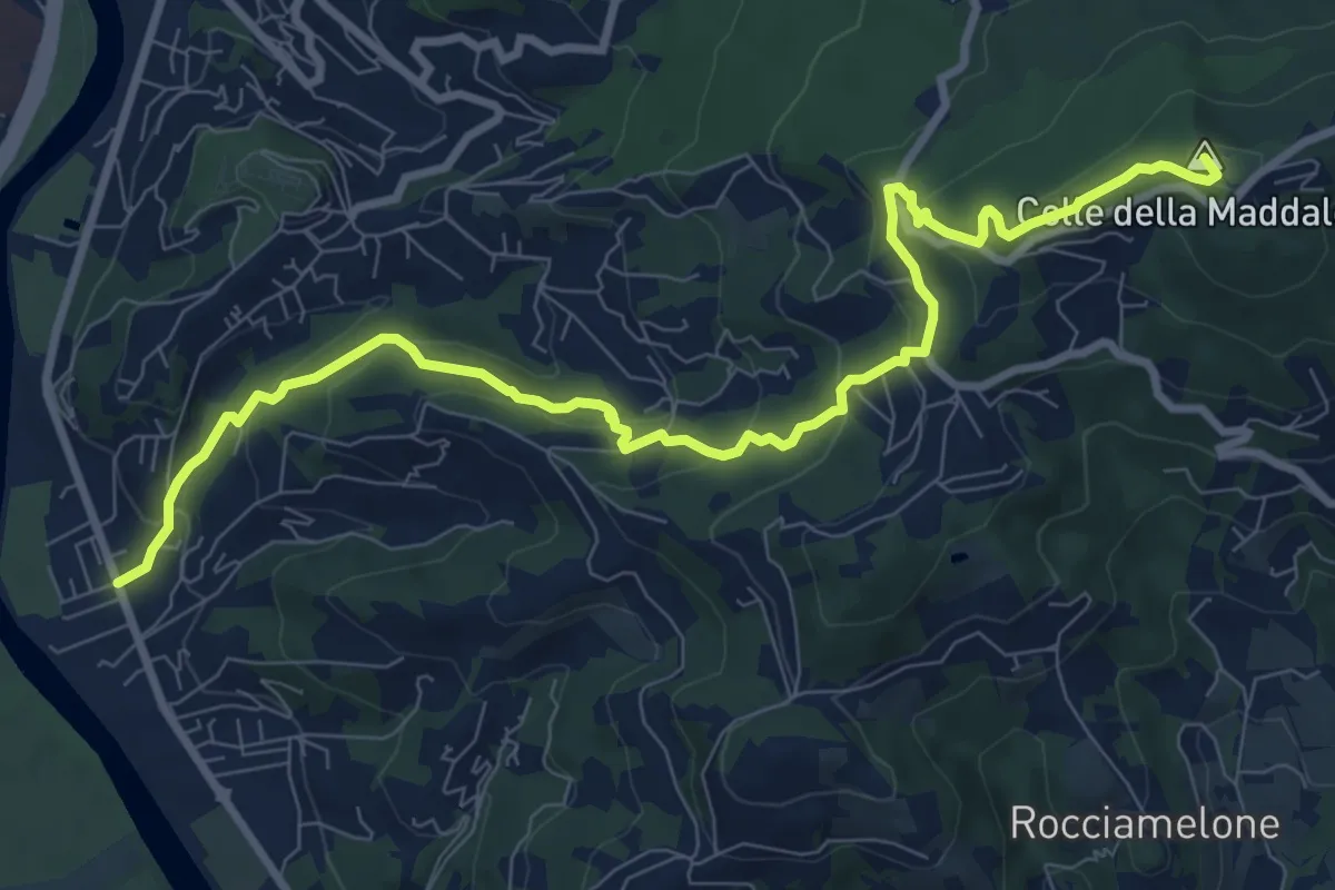
Medium · Summit
Moncalieri, Fioccardo – Colle della Maddalena, bivio TOC003-TOC010
10.7 km · ↑ 539 m · 3 h 42 min · 14 km away
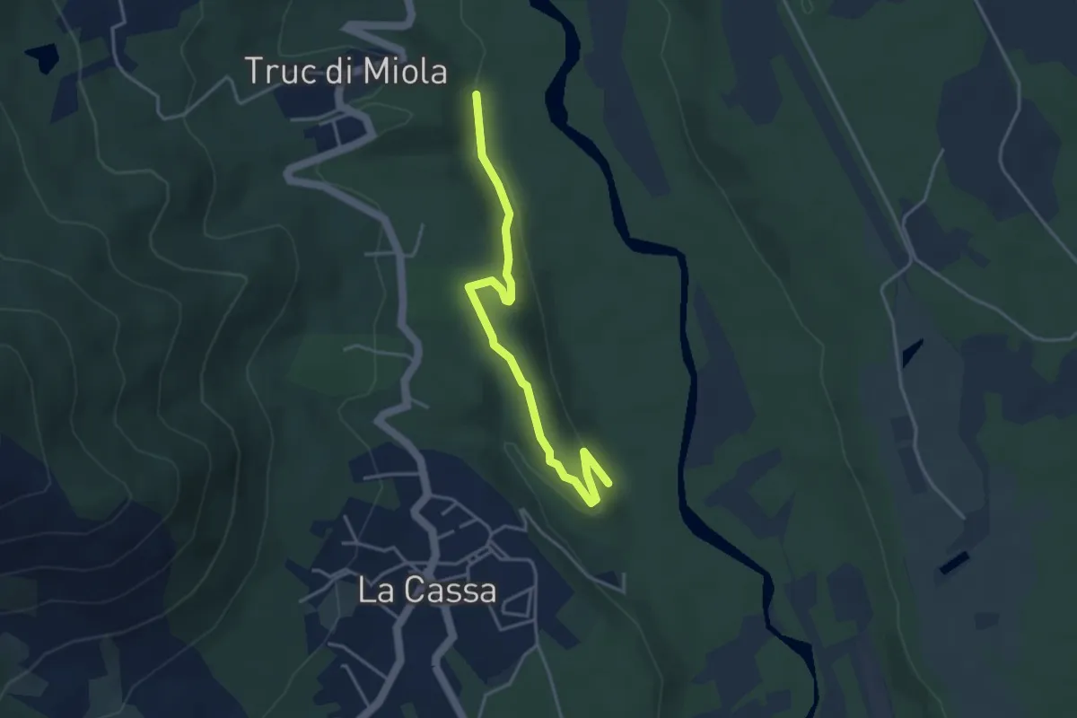
Easy · Trail
Bivio 007-007C, San Rocco – Bivio 007C-008
3.9 km · ↑ 93 m · 1 h 8 min · 14 km away
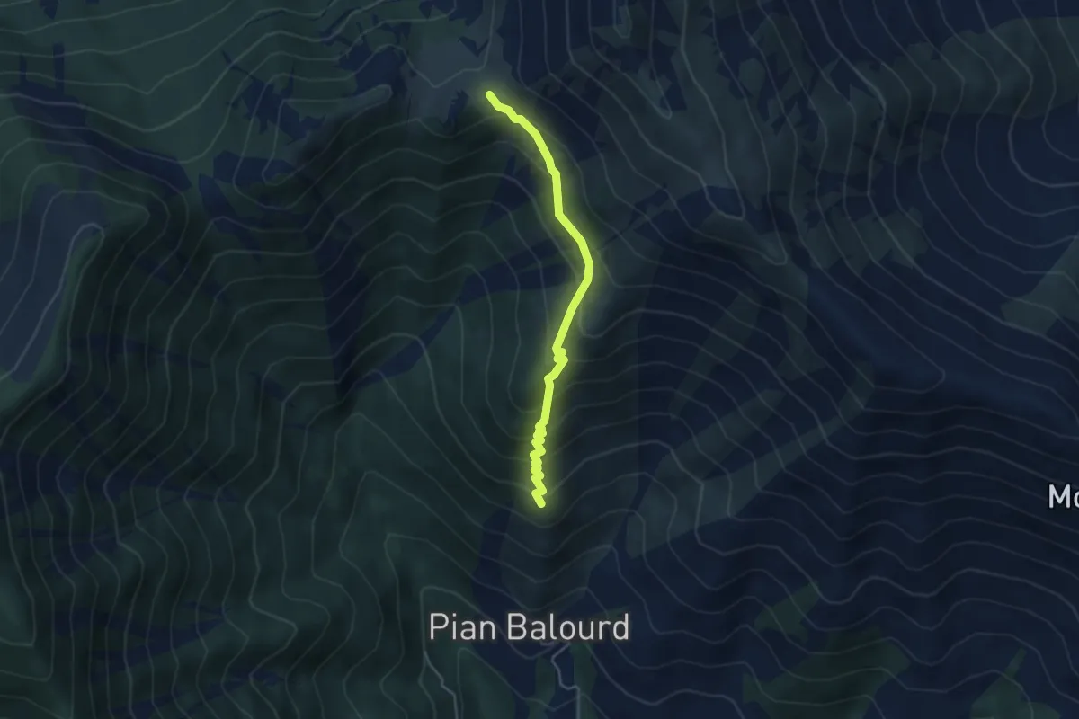
Medium · Trail
Bivio 002-003, Muanda Piantegrandi – Bivio 003-003A-012, Colle Lunella
4.1 km · ↑ 402 m · 1 h 50 min · 14 km away
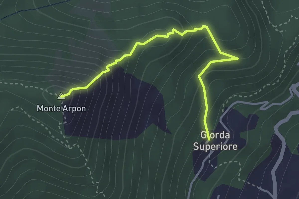
Expert · Summit
Giorda Superiore – Vetta Monte Arpon
3.3 km · ↑ 355 m · 1 h 33 min · 14 km away
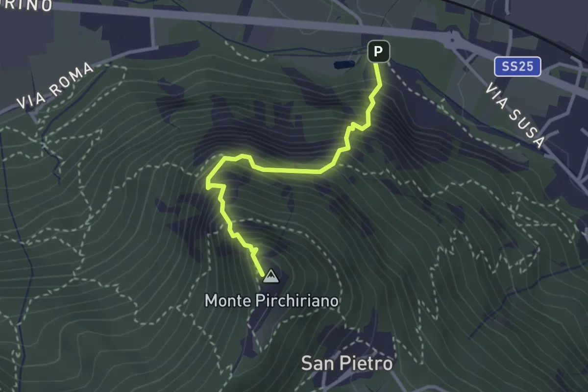
Medium · Summit
Via Ferrata Carlo Giorda
2.6 km · ↑ 675 m · 2 h 5 min · 14 km away
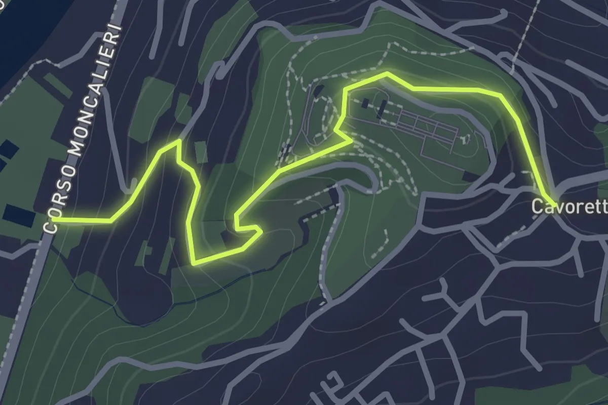
Easy · Trail
Strada Villa Zanetti, Torino – Cavoretto, Torino
2.9 km · ↑ 143 m · 1 h · 14 km away
Easy · Trail
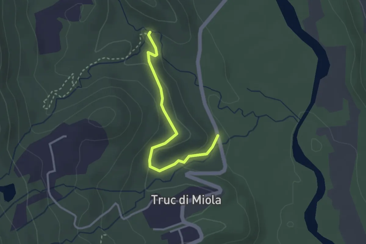
Bivio 041-041B – Bivio 041A-041B, San Biagio
2.7 km · ↑ 103 m · 52 min · 14 km away
Medium · Trail
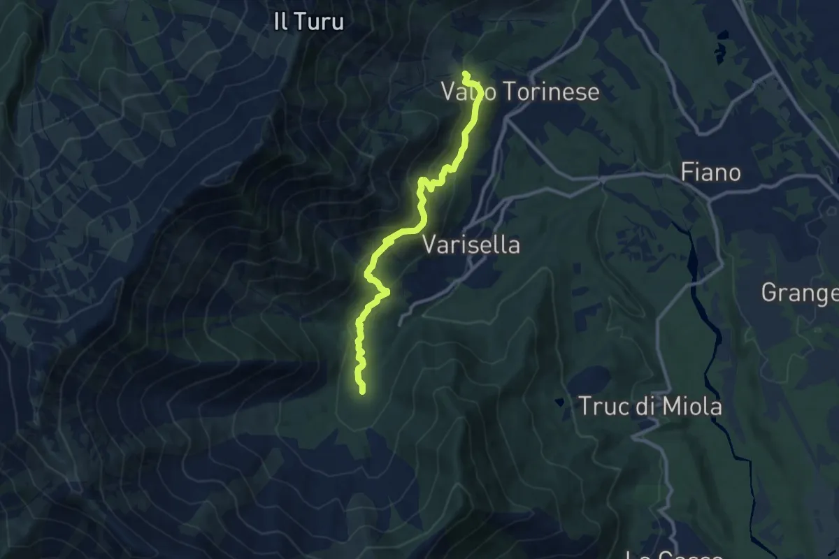
Bivio 043-045, Area Camper – Bivio 045-090, Cappella di San Rocco
9.8 km · ↑ 495 m · 3 h 22 min · 14 km away
Demanding · Summit
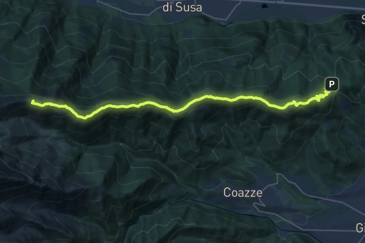
Colle Braida, bivioTOS435-TOS451-TOS503A – Pian Peiroel, bivio TOS420-TOS435
23.3 km · ↑ 1076 m · 7 h 50 min · 15 km away
Medium · Trail
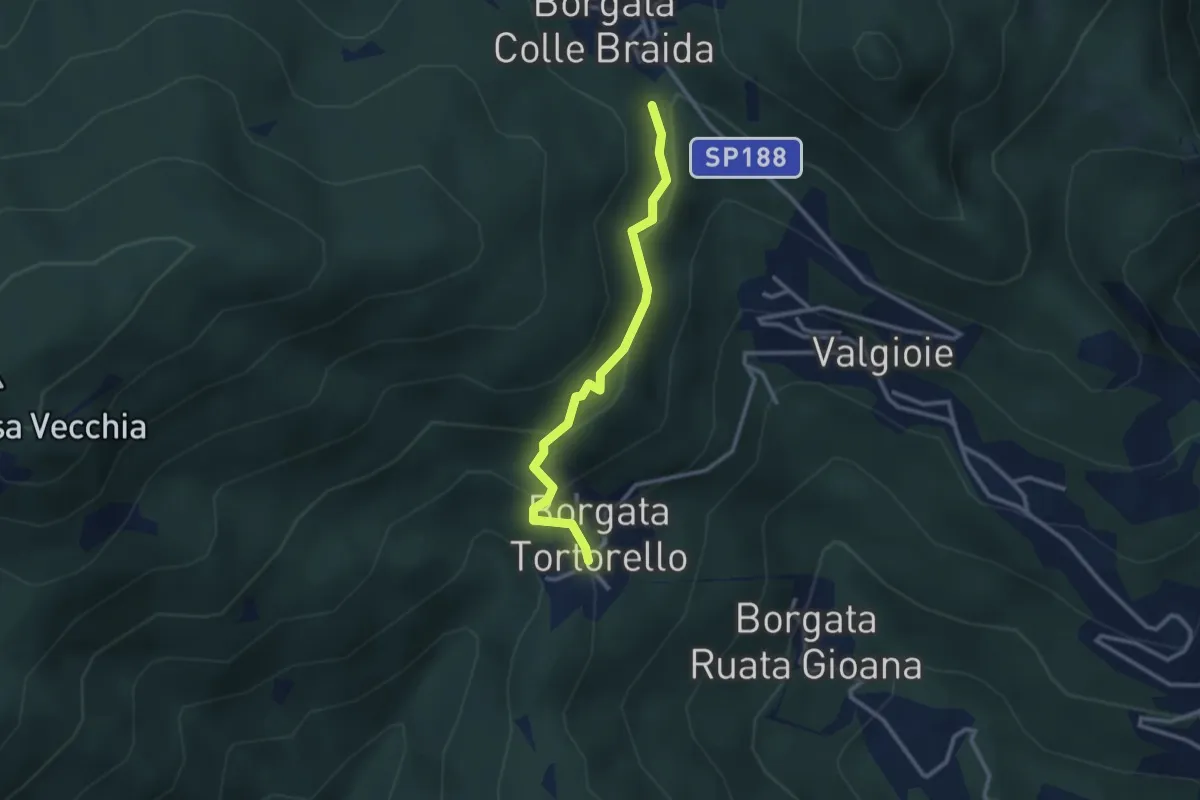
Bivio 435-435A, Borgata Colle Braida – Bivio 435A-438, Borgata Tortorello
2.7 km · ↑ 213 m · 1 h 6 min · 15 km away
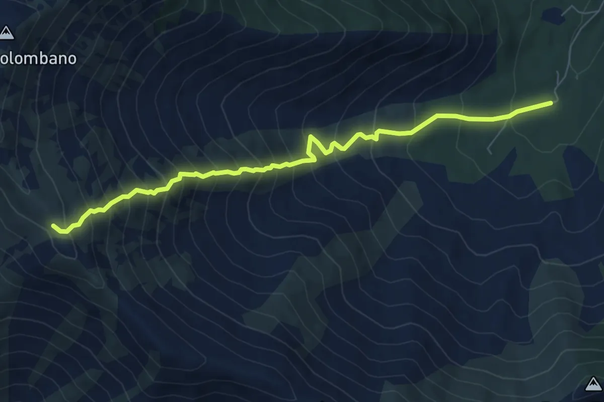
Demanding · Trail
Bivio 043-048, Area Camper – Bivio 003A-048, Bal Masché
7.4 km · ↑ 943 m · 3 h 47 min · 15 km away
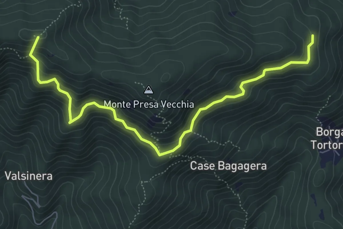
Medium · Summit
Bivio 435-435B, Borgata Presa delle Rose – Bivio 435-435C, Colle Remondetto
7.0 km · ↑ 443 m · 2 h 37 min · 15 km away
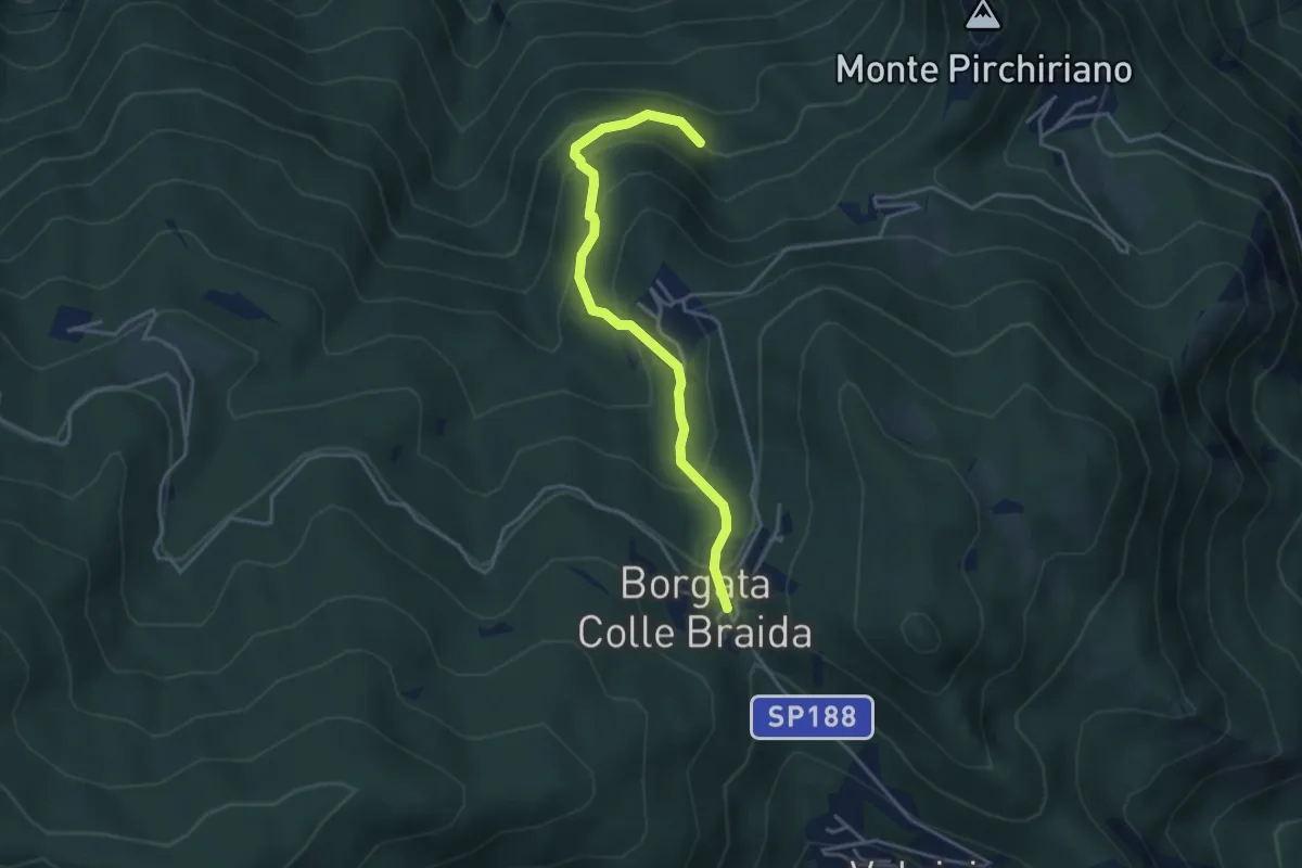
Medium · Trail
Colle Braida, bivio TOS435-TOS503A – Presso Case Giacosa, bivio TOS503-TOS503A
3.9 km · ↑ 306 m · 1 h 35 min · 15 km away