Trails near Romano d'Ezzelino
102 hikes starting within 15 km, nearest first.
Nearest first, page 2 of 3
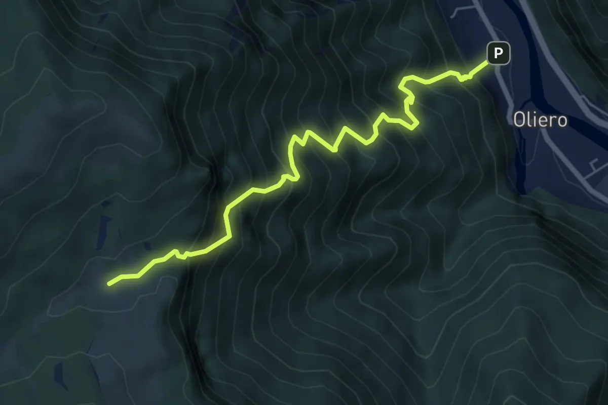
Demanding · Trail
Oliero di sopra – Le Pozzette
6.0 km · ↑ 983 m · 3 h 32 min · 9 km away
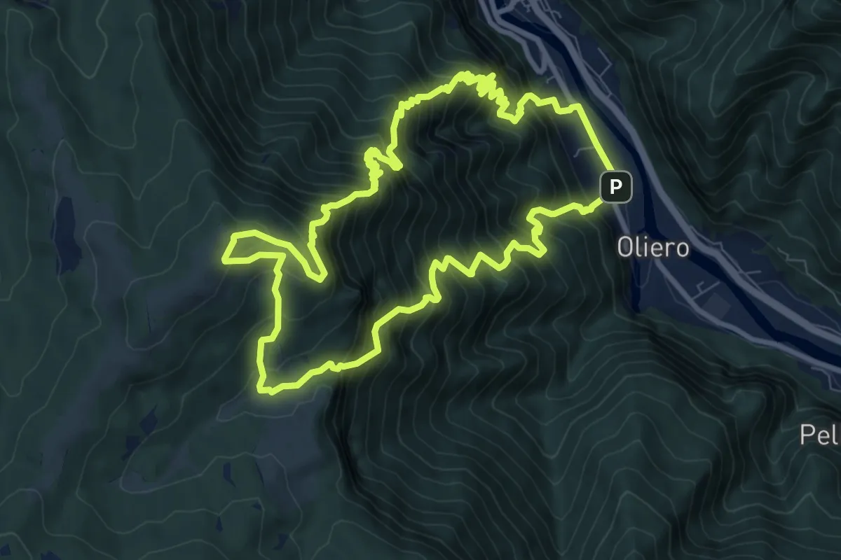
Demanding · Summit
Trodoi Tralis 2
9.2 km · ↑ 1238 m · 4 h 59 min · 9 km away
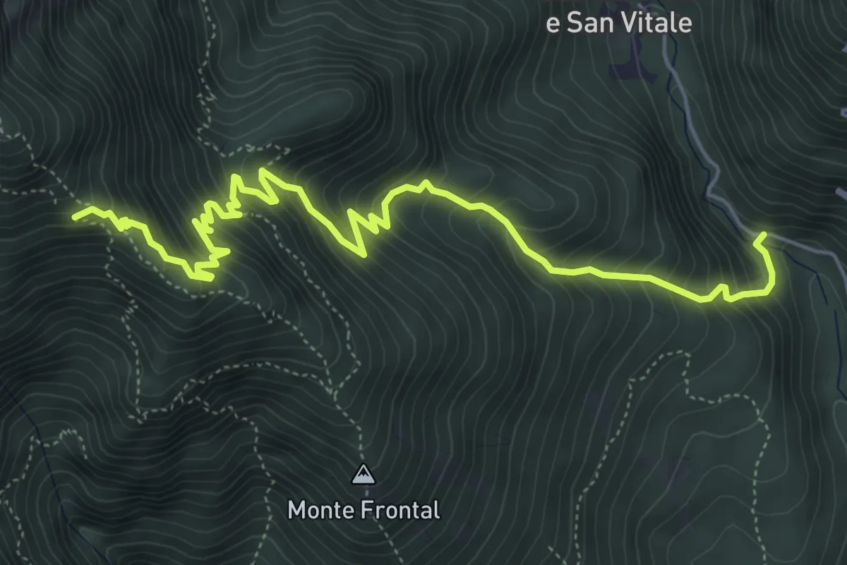
Medium · Trail
Strada per San Liberale – Cippo dei Partigiani - innesto sentieri 105-106-109
6.9 km · ↑ 794 m · 3 h 21 min · 10 km away
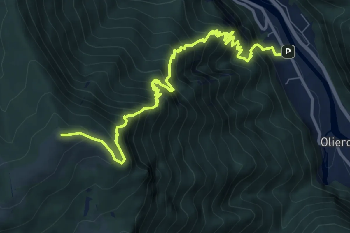
Demanding · Summit
Londa – Casara Col d'Astiago - inn. sent. 800
9.0 km · ↑ 1320 m · 4 h 59 min · 10 km away
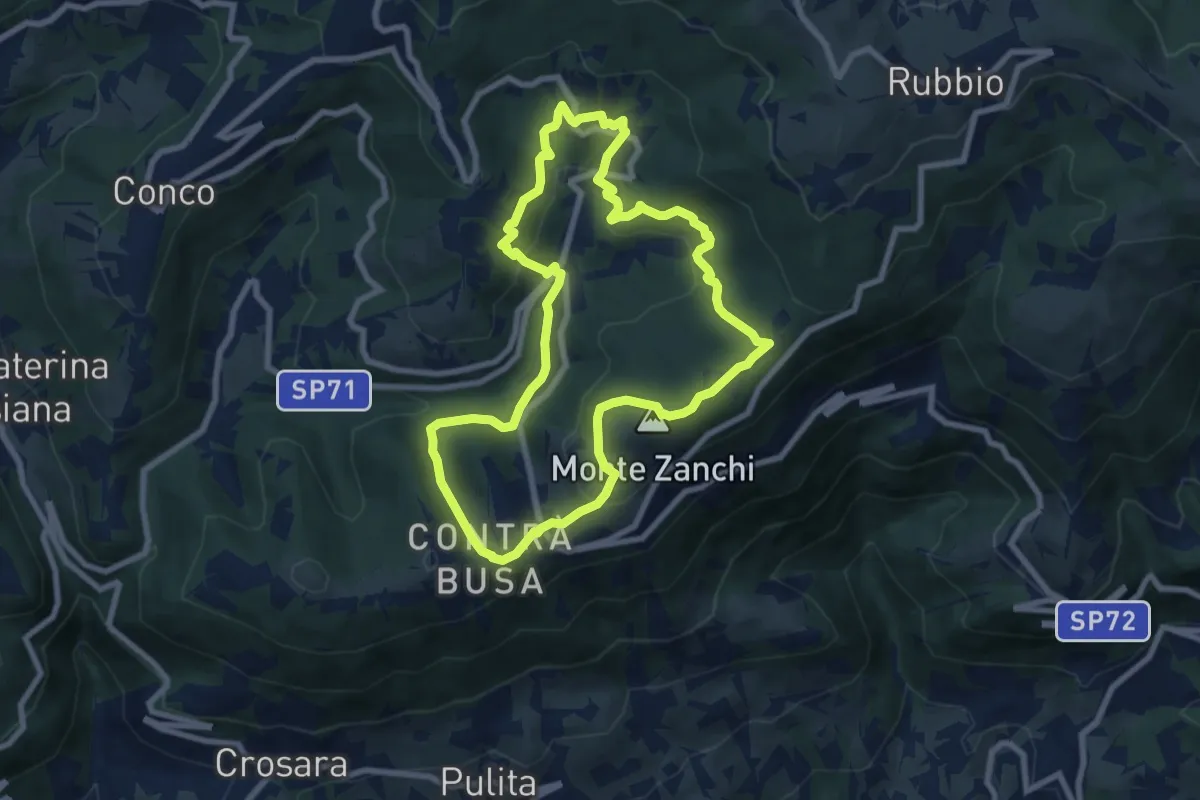
Easy · Summit
Anello di Fontanelle
7.8 km · ↑ 291 m · 2 h 35 min · 10 km away
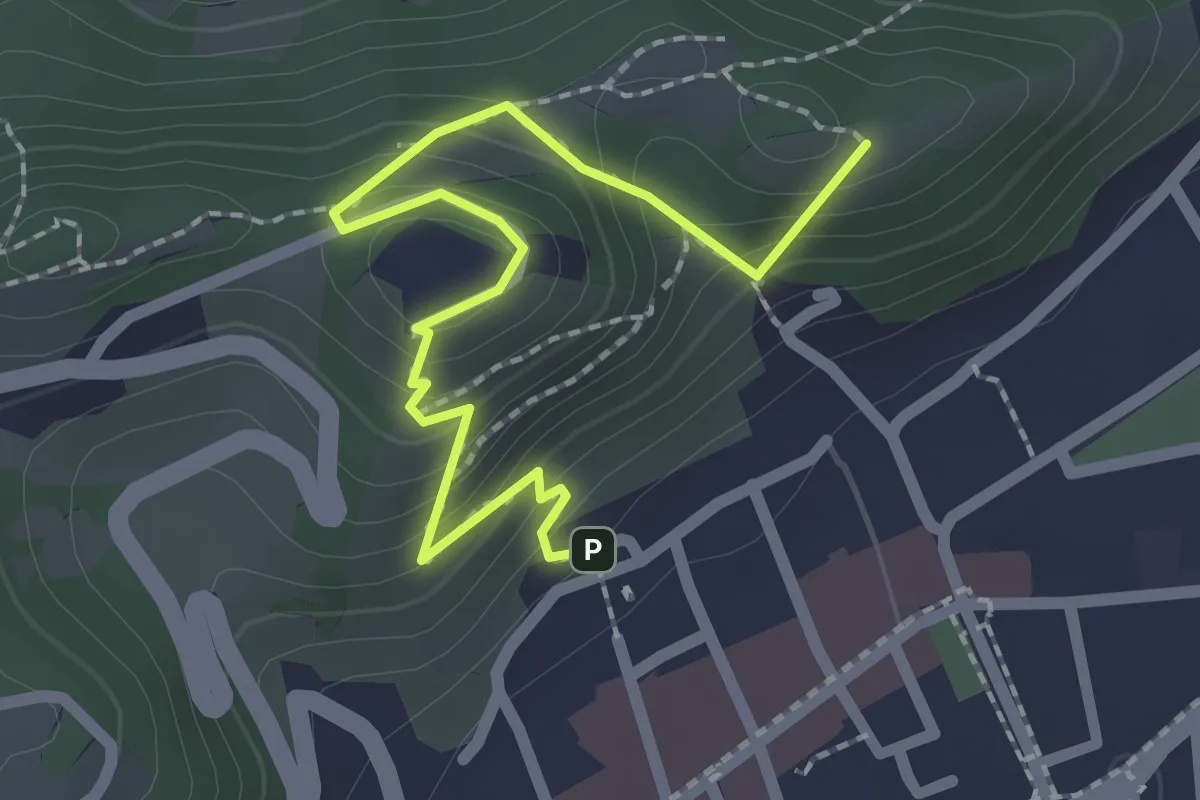
Easy · Summit
Sentiero panoramico e naturalistico
2.5 km · ↑ 165 m · 57 min · 10 km away
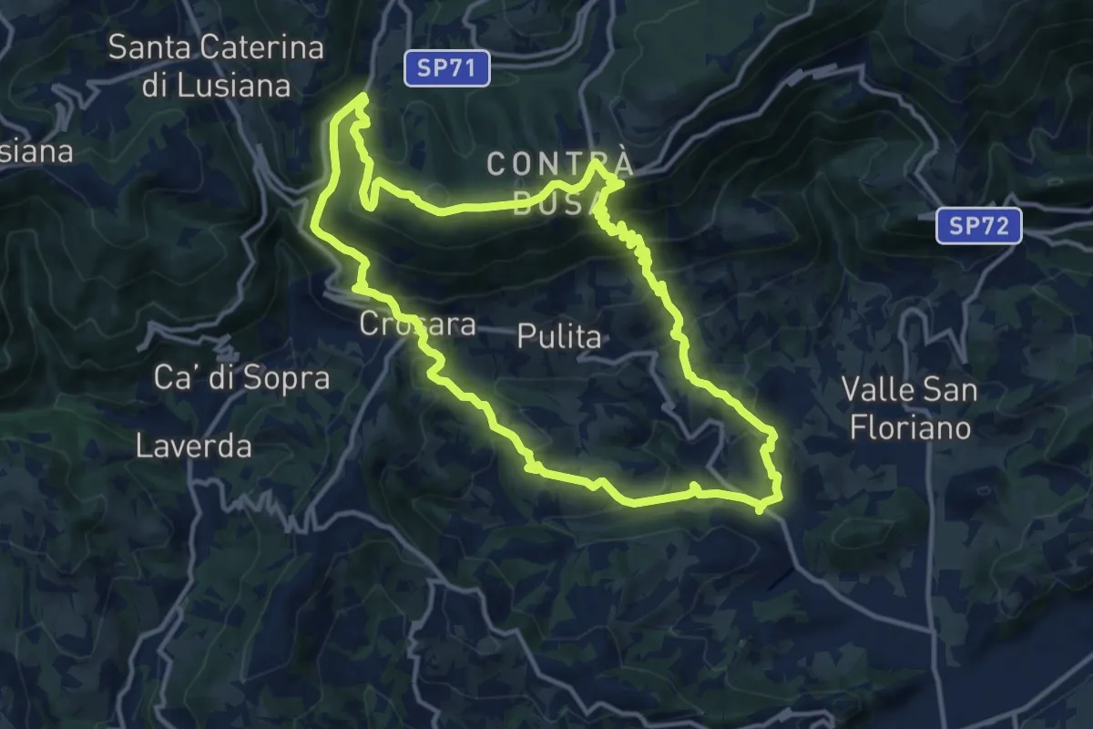
Medium · Summit
Marostica – Marostica
13.3 km · ↑ 681 m · 4 h 48 min · 10 km away
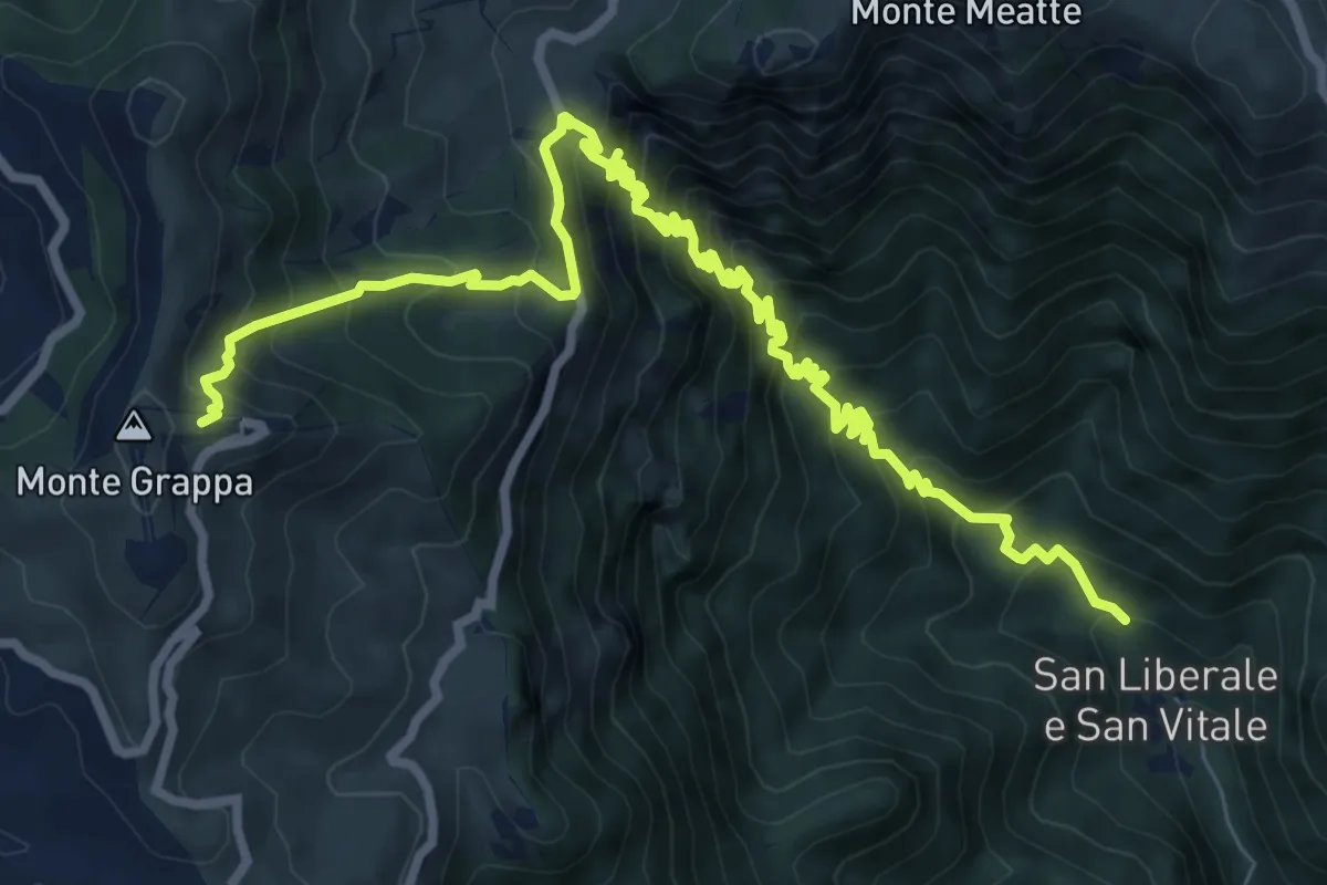
Demanding · Cabin
San Liberale – Rifugio Bassano Cima Grappa
11.4 km · ↑ 1188 m · 5 h 16 min · 10 km away
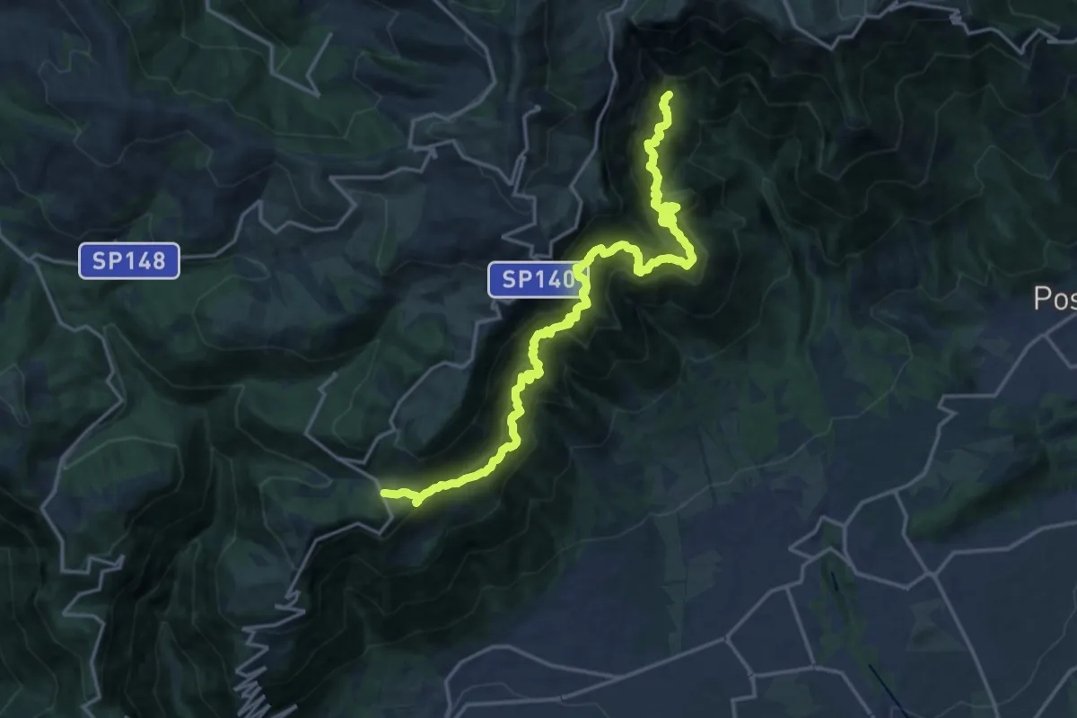
Expert · Trail
Campocroce – Val del Lastego - innesto sentiero 151
9.7 km · ↑ 1081 m · 4 h 43 min · 10 km away
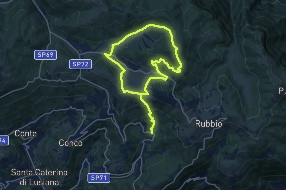
Medium · Summit
Ciscati - Biancoia
9.8 km · ↑ 297 m · 3 h 13 min · 10 km away
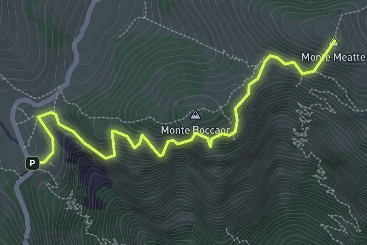
Medium · Summit
Sentiero delle Meatte
3.8 km · ↑ 499 m · 1 h 58 min · 10 km away
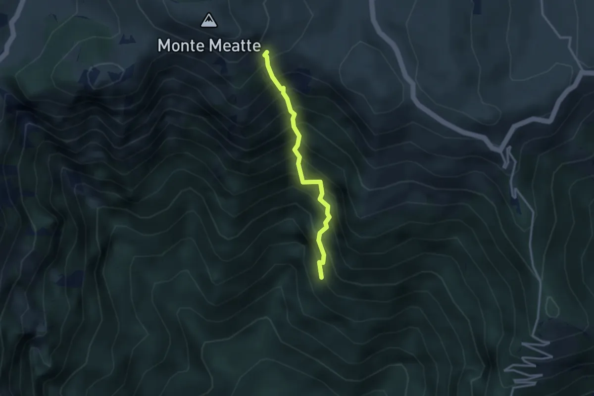
Expert · Trail
Sentiero Col del Gratarol
2.5 km · ↑ 589 m · 1 h 52 min · 10 km away
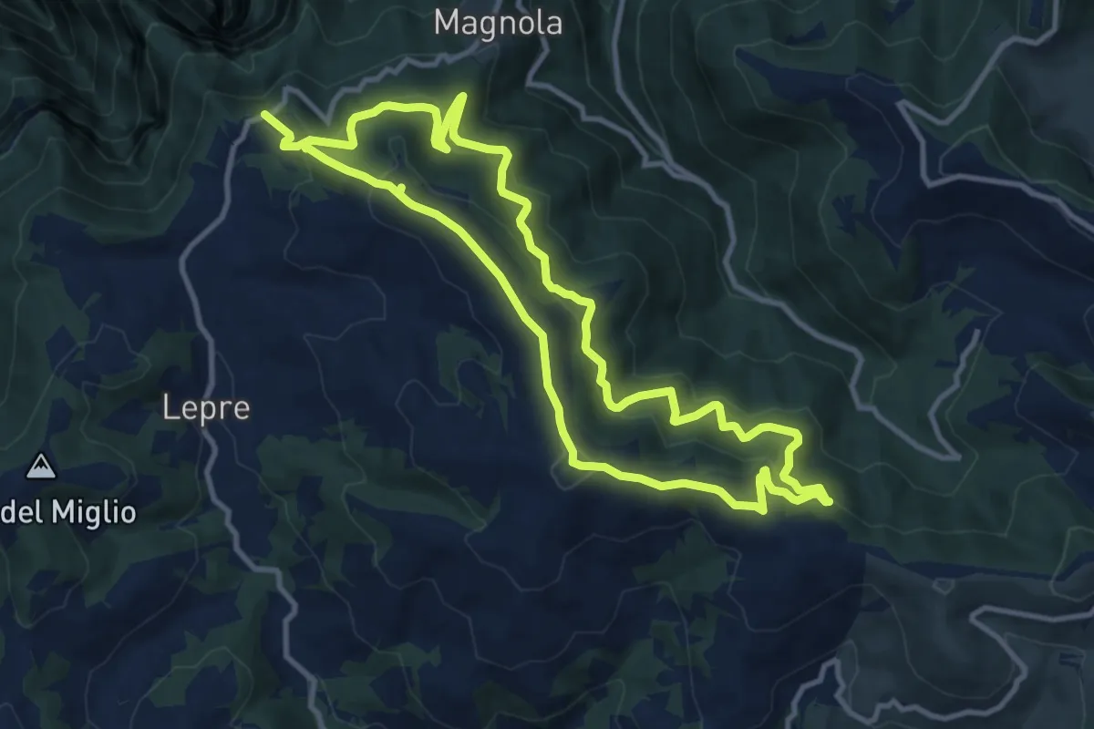
Medium · Summit
Trodoi Trails 16
10.5 km · ↑ 556 m · 3 h 52 min · 11 km away
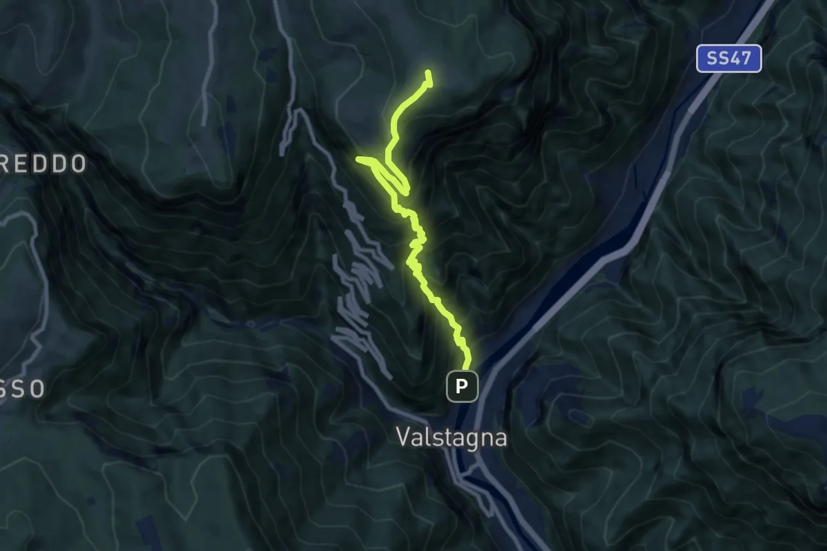
Demanding · Summit
Mori (Valstagna) - Monte Cornone - Sasso Rosso
8.5 km · ↑ 1324 m · 4 h 53 min · 11 km away
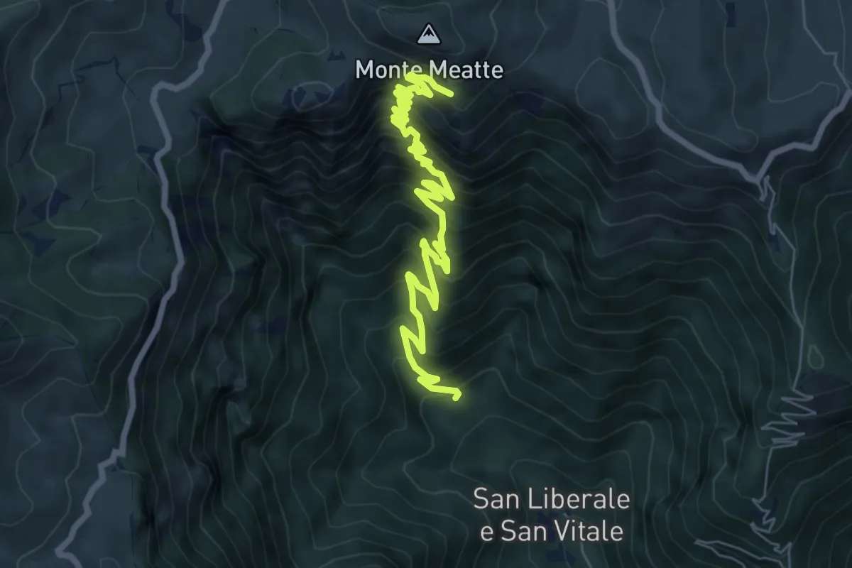
Demanding · Trail
S. Liberale -q.ta 718 - da sent. 151 – Col dea Salina - innesto sentiero 152
8.2 km · ↑ 876 m · 3 h 50 min · 11 km away
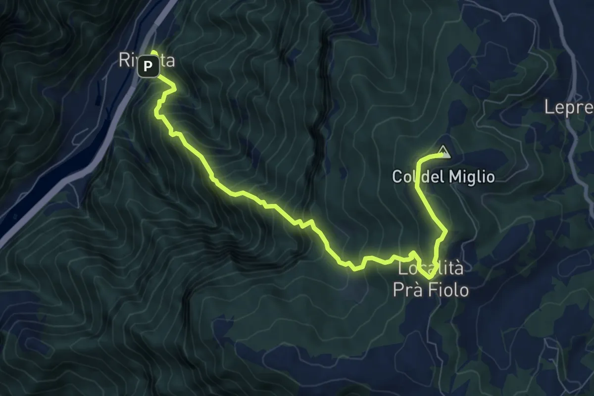
Demanding · Summit
Rivalta – Col del Miglio
9.2 km · ↑ 1227 m · 4 h 50 min · 11 km away
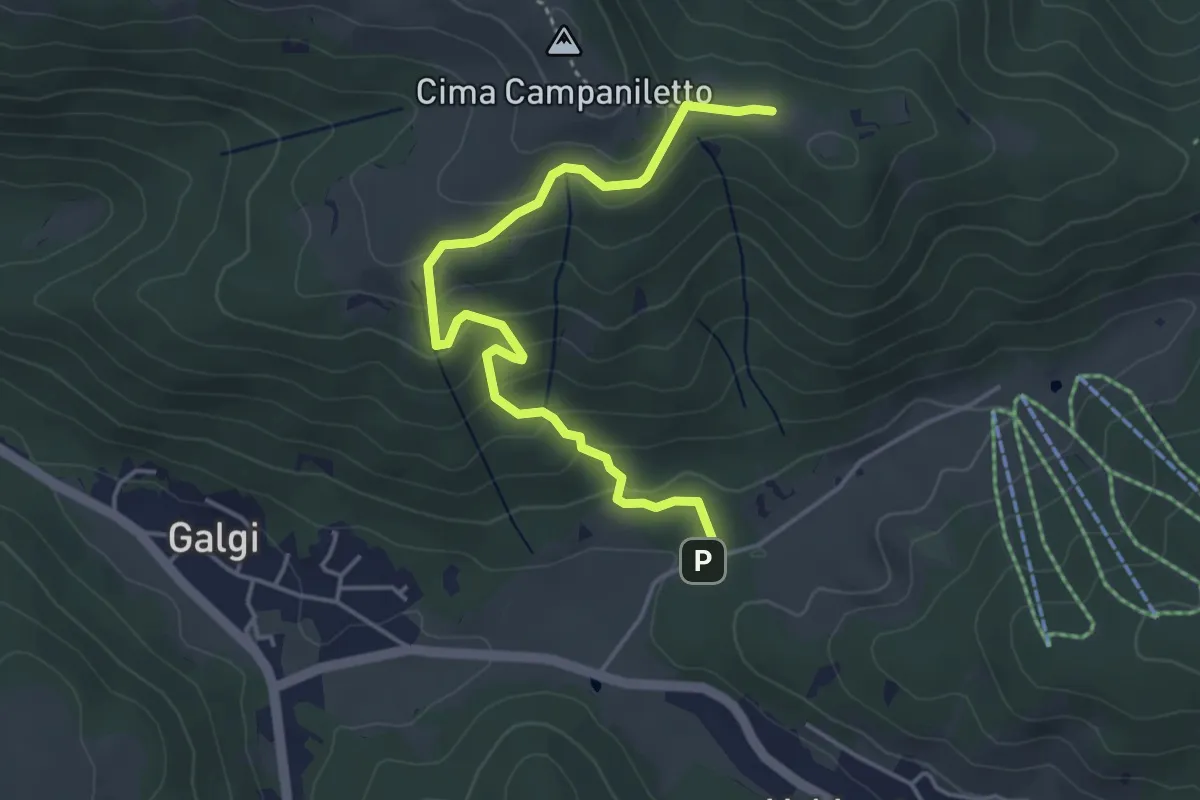
Easy · Summit
Percorso 872 – Percorso 872
4.6 km · ↑ 233 m · 1 h 36 min · 11 km away
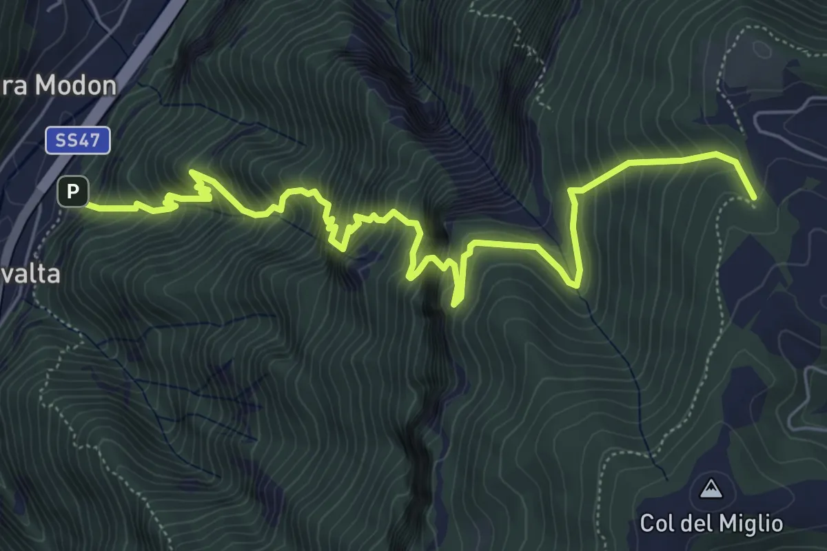
Demanding · Trail
Rivalta - sbocco Val del Ponte Vecchio – Sotto Col Caprile - inn. sent. 940
7.7 km · ↑ 1109 m · 4 h 13 min · 11 km away
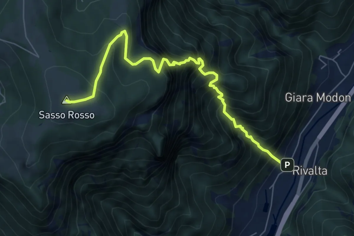
Demanding · Summit
Sasso Stefani – Sasso Rosso
6.6 km · ↑ 1099 m · 3 h 57 min · 11 km away
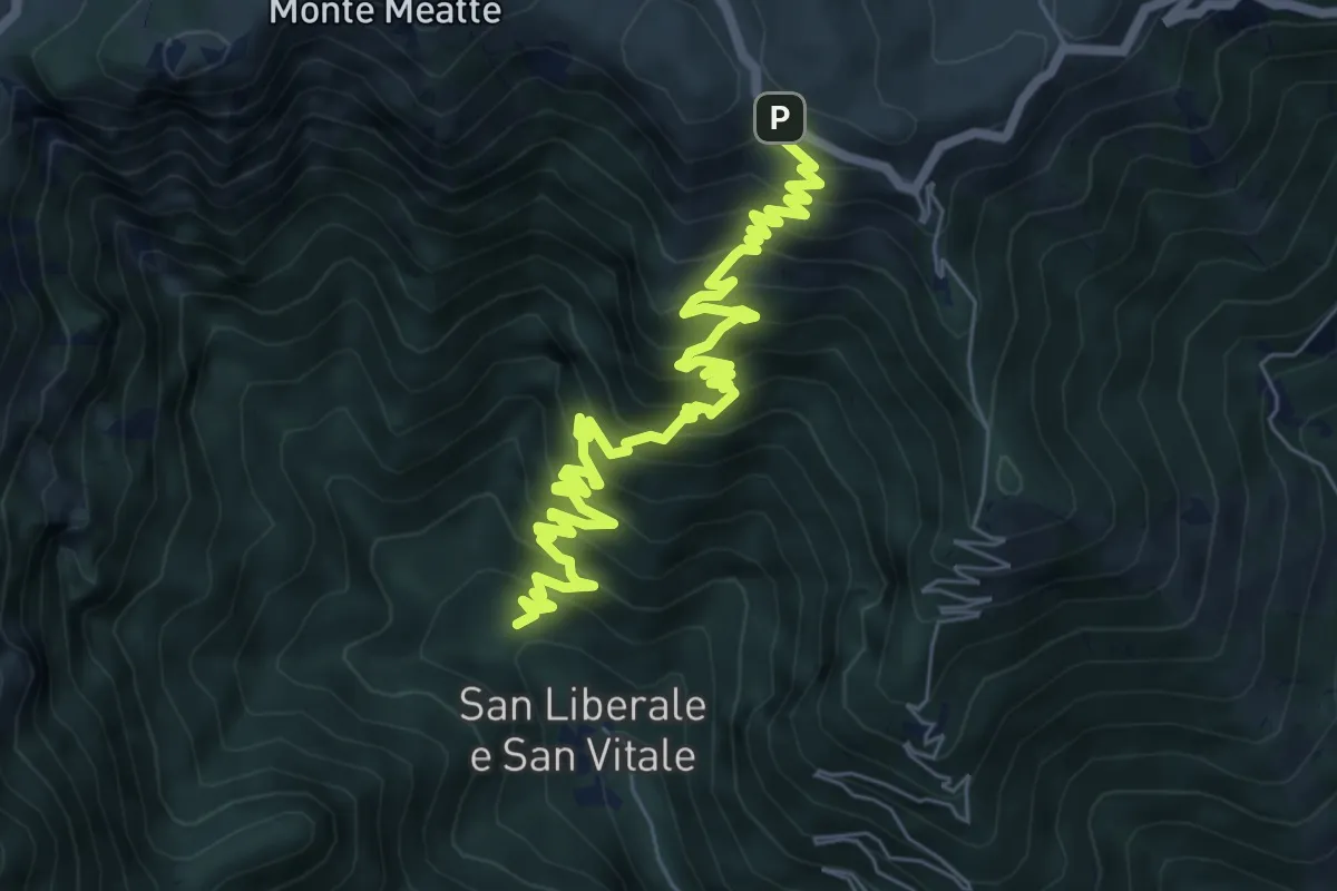
Demanding · Trail
S. Liberale - q.ta 631 - da sent. 151 – Malga Vedetta e S.P. 141
9.1 km · ↑ 870 m · 4 h 2 min · 11 km away
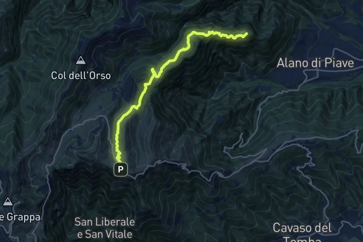
Demanding · Summit
Alano - San Pietro – Quardr. sotto Cima di Mandria - innesto sentiero 152
15.0 km · ↑ 892 m · 5 h 28 min · 11 km away
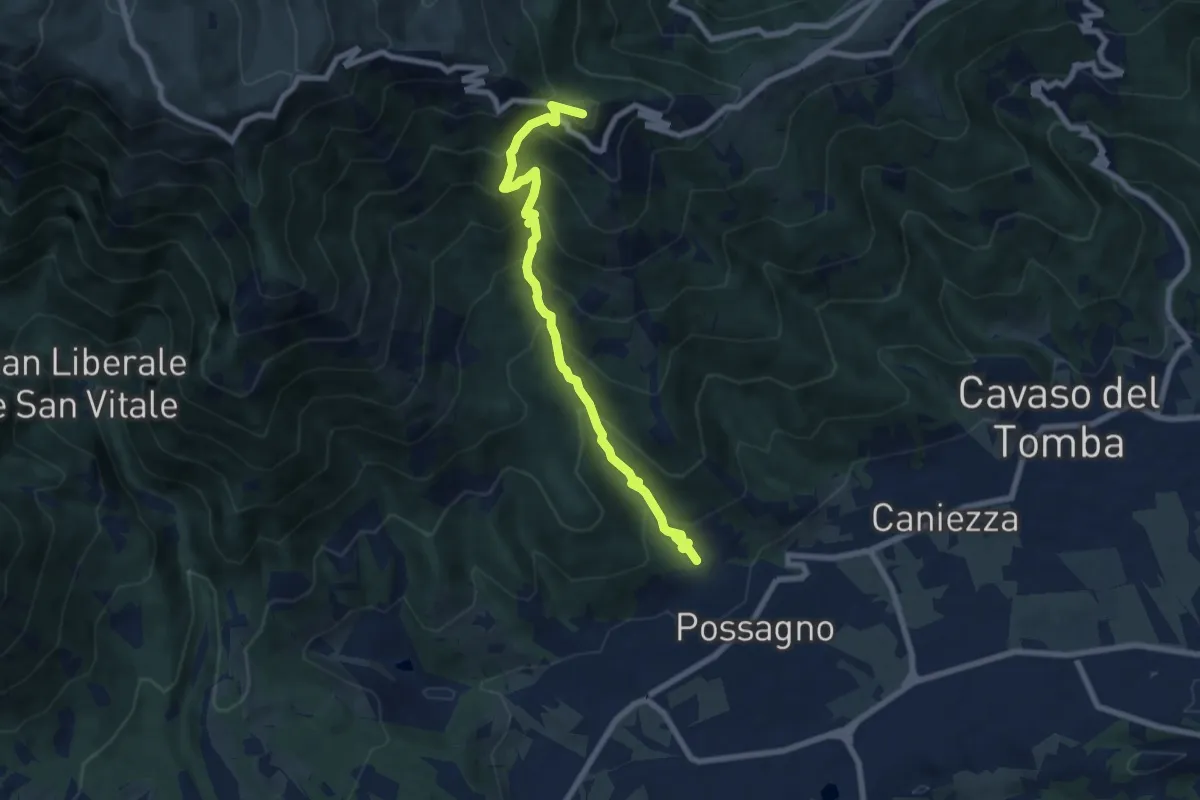
Medium · Summit
Sentiero Pietro Dal Broi
7.8 km · ↑ 764 m · 3 h 30 min · 12 km away
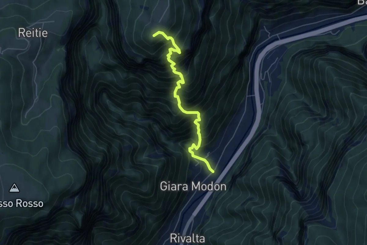
Demanding · Summit
Valgadena - Loke - Monte Spitz - Stoner
5.4 km · ↑ 1038 m · 3 h 31 min · 12 km away
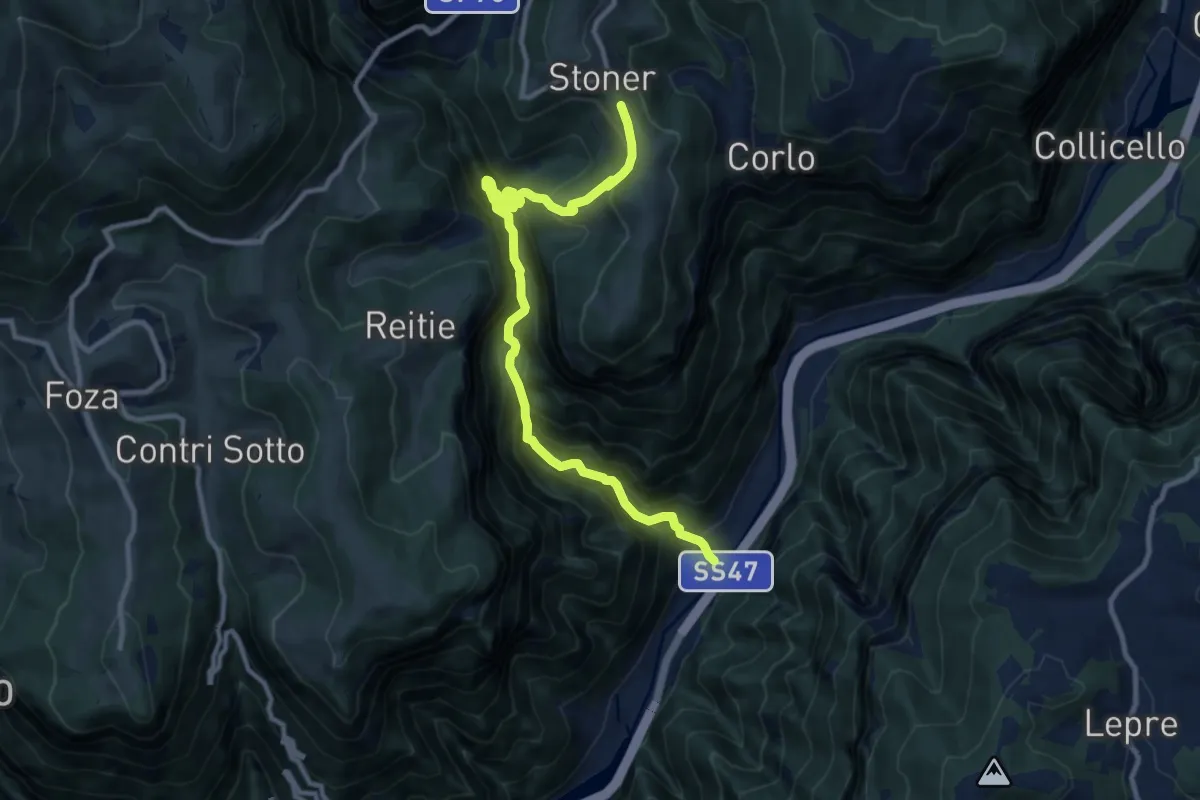
Demanding · Trail
Valgadena - Lessi - Stoner
11.3 km · ↑ 1110 m · 5 h 4 min · 12 km away
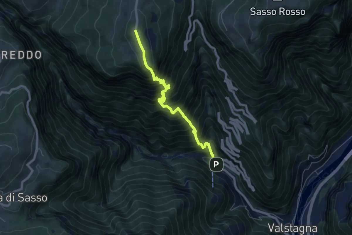
Expert · Trail
Pierino della Zuanna
5.7 km · ↑ 1032 m · 3 h 34 min · 12 km away
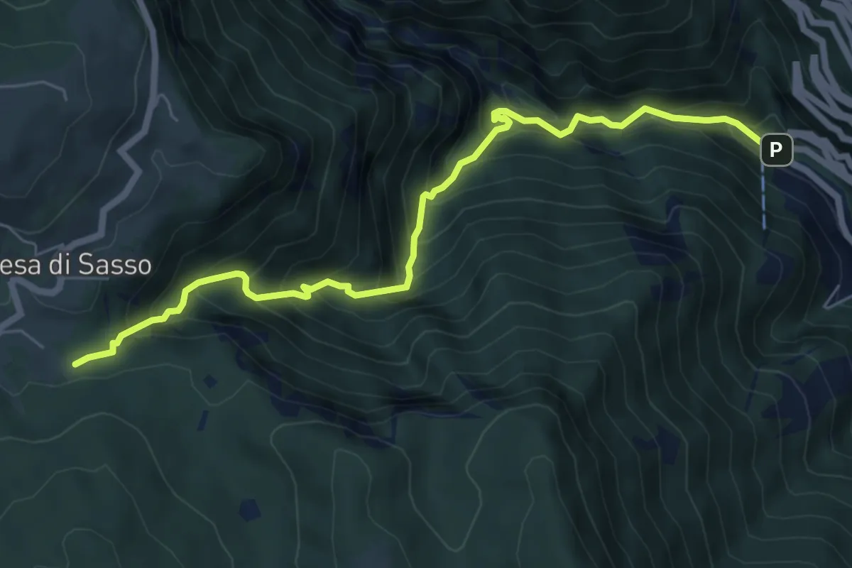
Demanding · Trail
Calà del Sasso
6.7 km · ↑ 839 m · 3 h 24 min · 12 km away
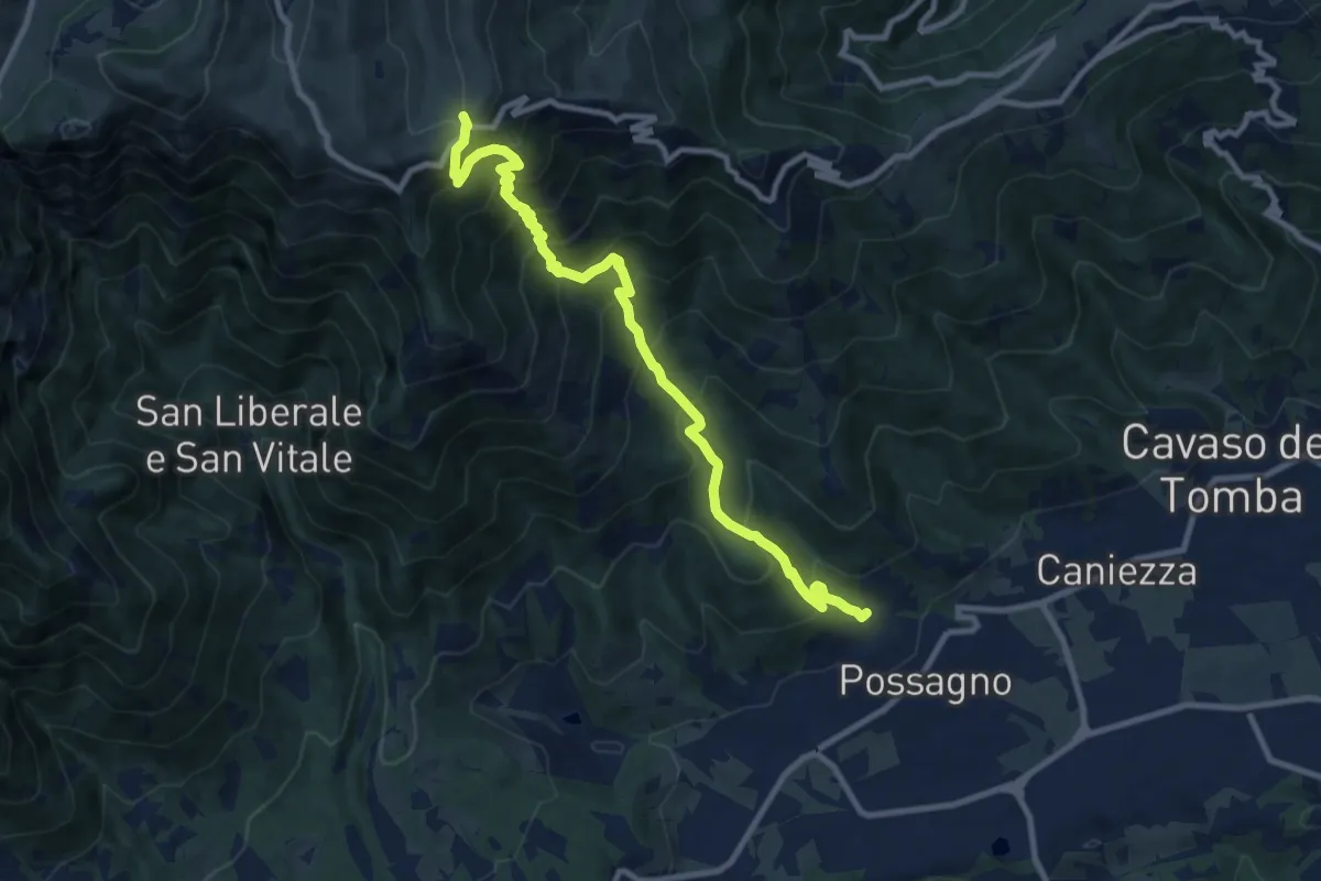
Demanding · Trail
Possagno – Bocca di Forca
10.8 km · ↑ 1182 m · 5 h 6 min · 12 km away
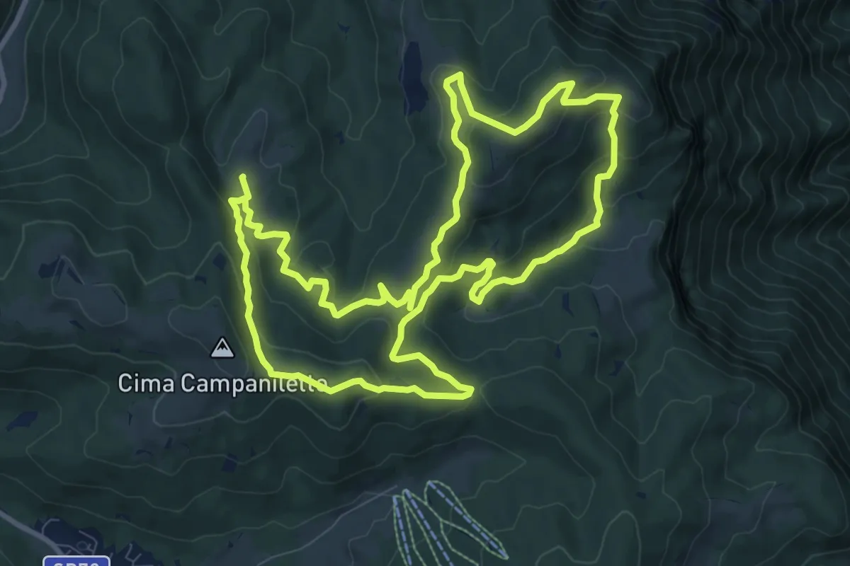
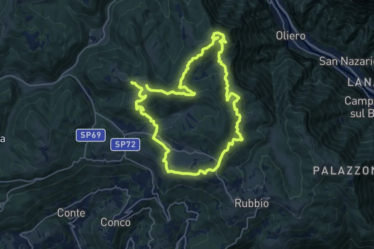
Medium · Summit
Trodoi Trails 18
10.2 km · ↑ 426 m · 3 h 29 min · 12 km away
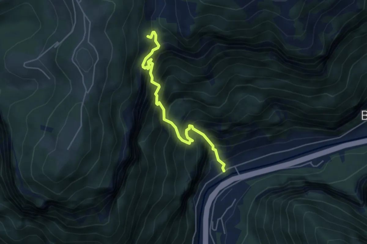
Demanding · Summit
Anello dei Tre Confini
31.5 km · ↑ 1474 m · 10 h 38 min · 12 km away
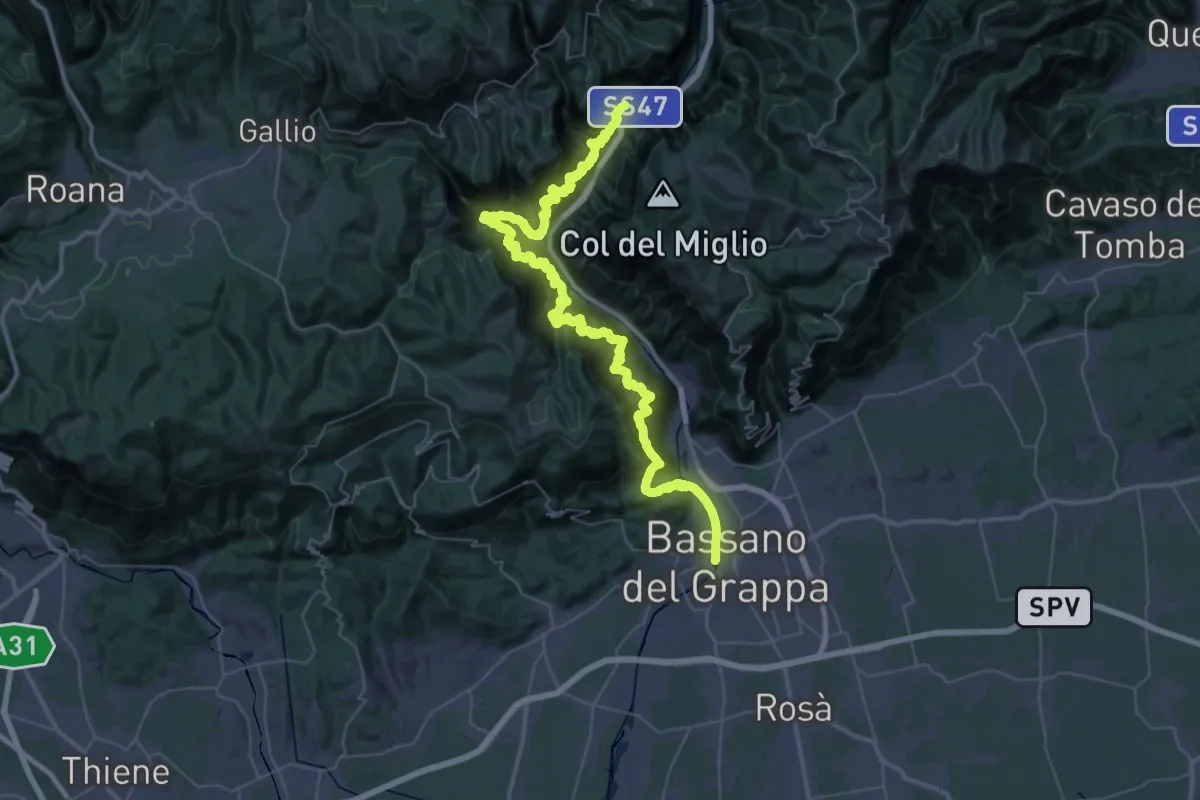
Demanding · Trail
Costa - Godeluna
4.2 km · ↑ 891 m · 2 h 56 min · 13 km away
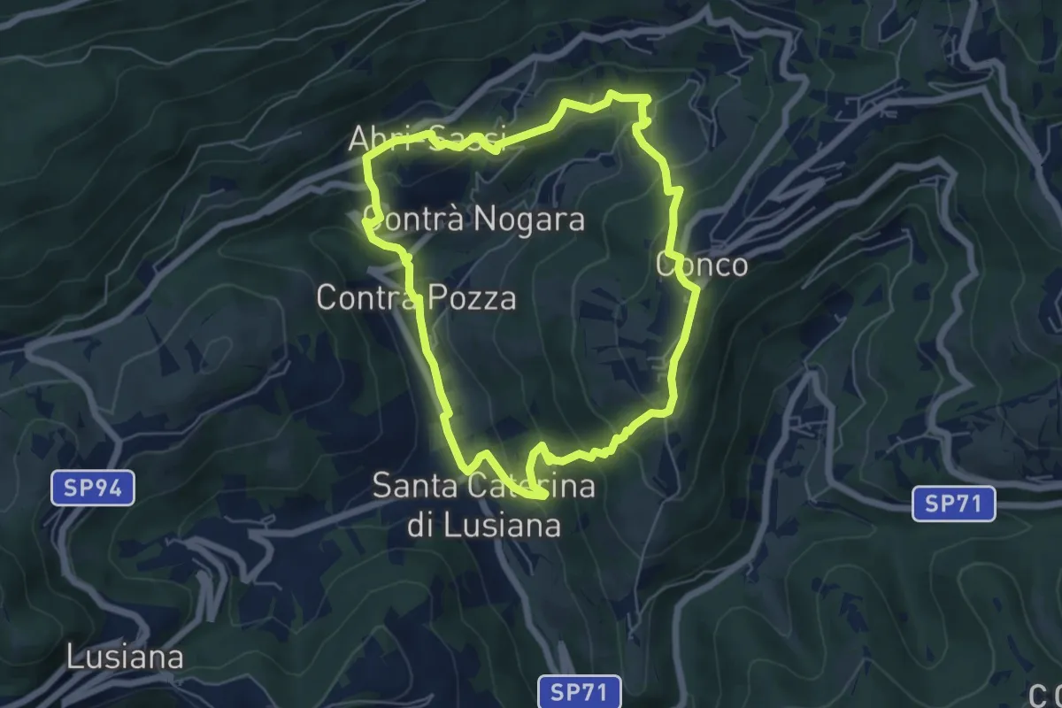
Demanding · Trail
Alta Via del Tabacco
33.7 km · ↑ 3345 m · 15 h 43 min · 13 km away
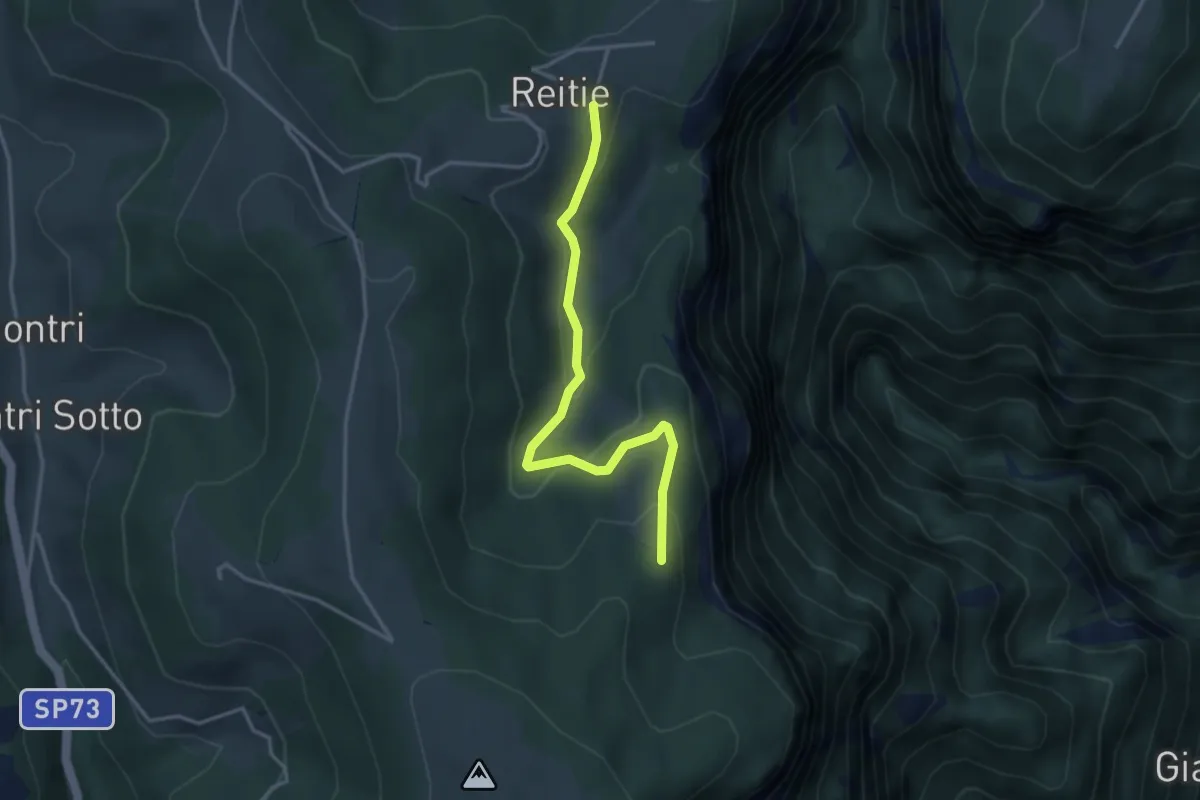
Easy · Trail
Sentiero dell'Amore
5.7 km · ↑ 302 m · 2 h 4 min · 13 km away
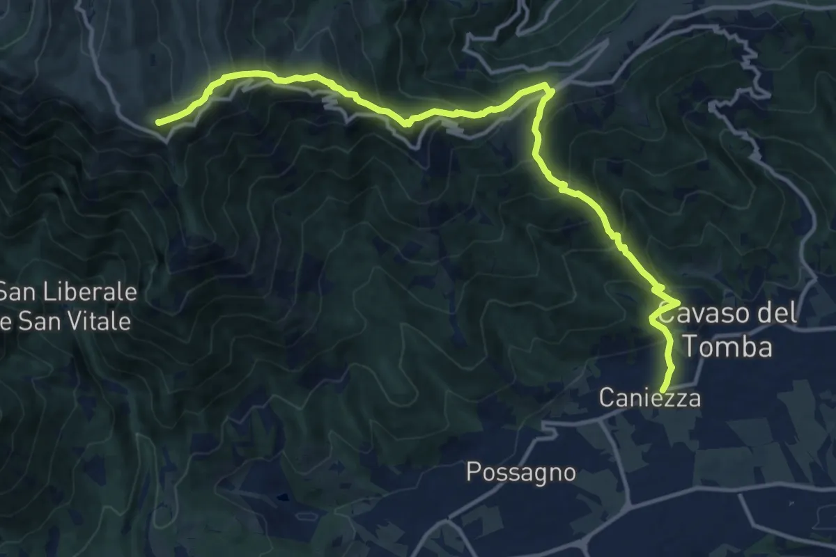
Easy · Trail
Sasso Stefani - Sasso Rosso
3.5 km · ↑ 186 m · 1 h 14 min · 13 km away
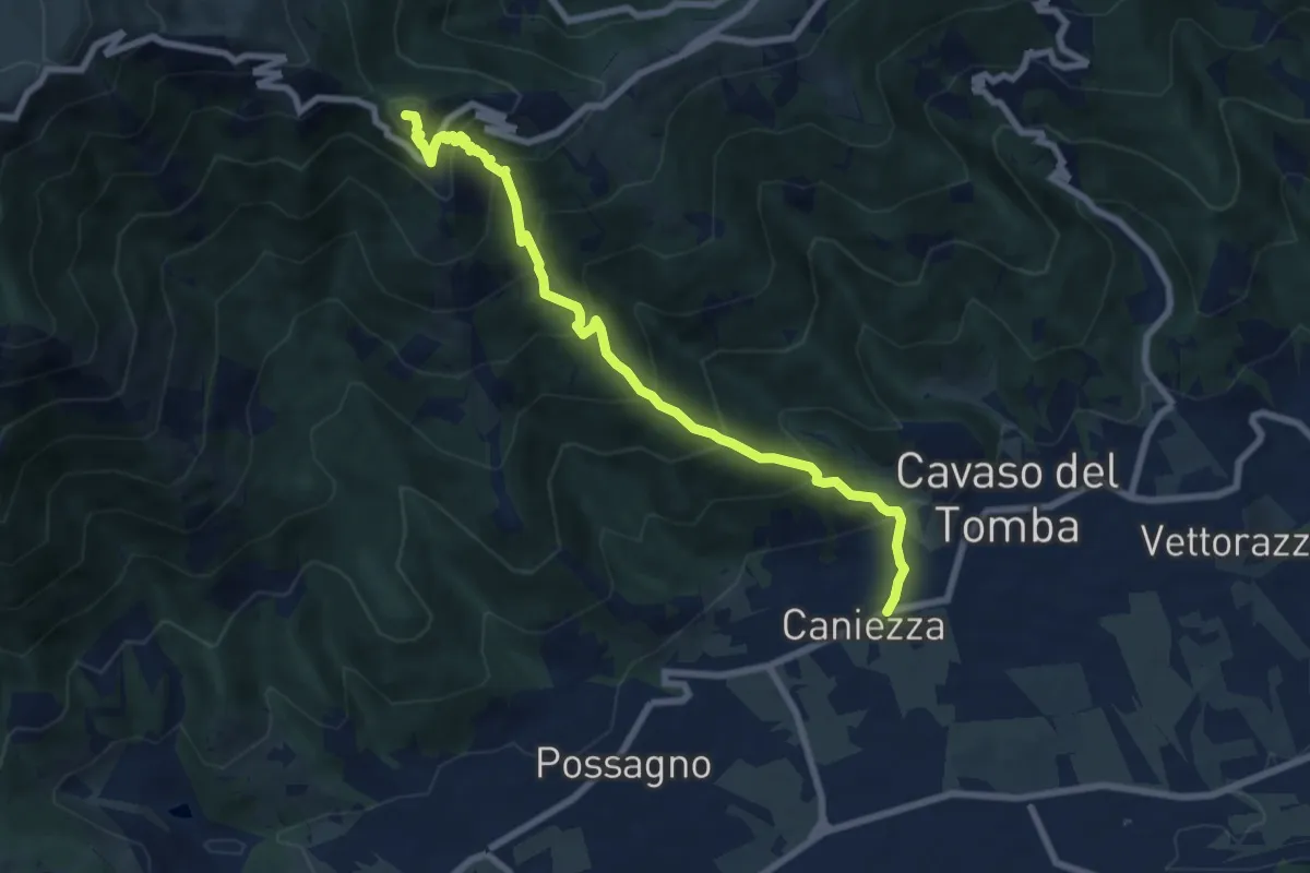
Demanding · Summit
Cavaso del Tomba – Quadrivio alla Mandria
14.5 km · ↑ 1269 m · 6 h 11 min · 13 km away
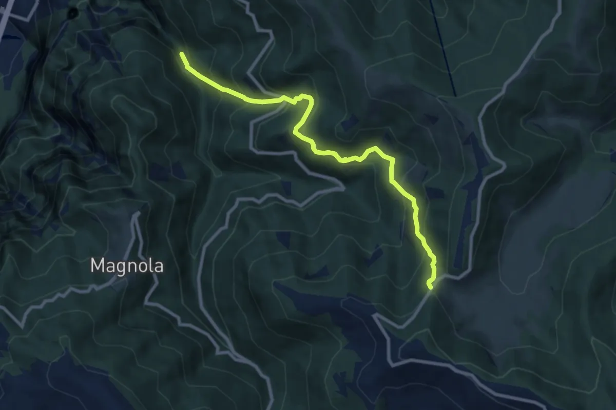
Demanding · Summit
Cavaso del Tomba – Castel Cesil
8.1 km · ↑ 895 m · 3 h 52 min · 13 km away
Medium · Trail
Cismon del Grappa - Faghèr - da sent. 920 – Forcelletto - inn. sent. 910
8.2 km · ↑ 748 m · 3 h 33 min · 13 km away
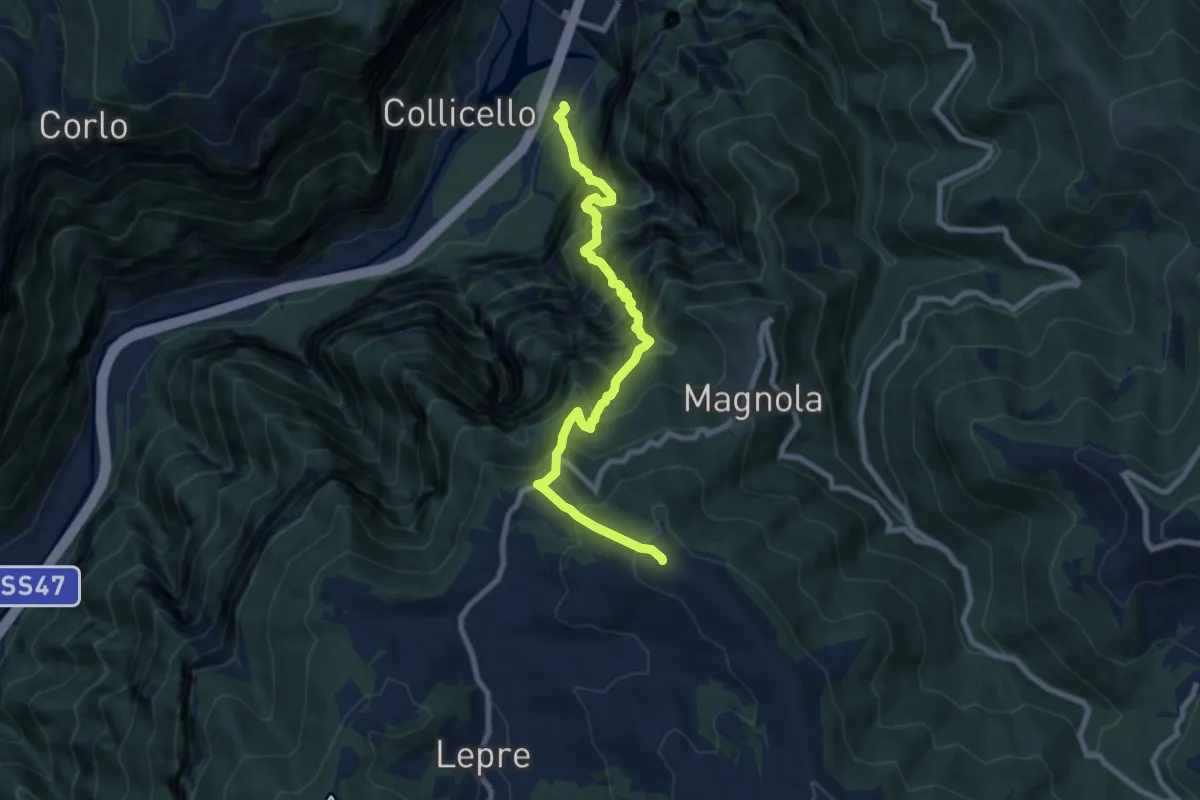
Demanding · Summit
Cismon del Grappa – Col della Beretta
8.5 km · ↑ 1392 m · 5 h 2 min · 13 km away
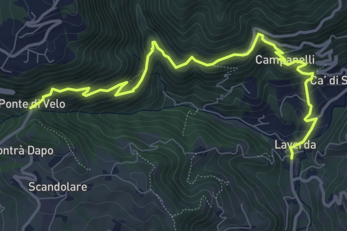
Medium · Trail
Sentiero dei Maronari
8.9 km · ↑ 552 m · 3 h 18 min · 13 km away
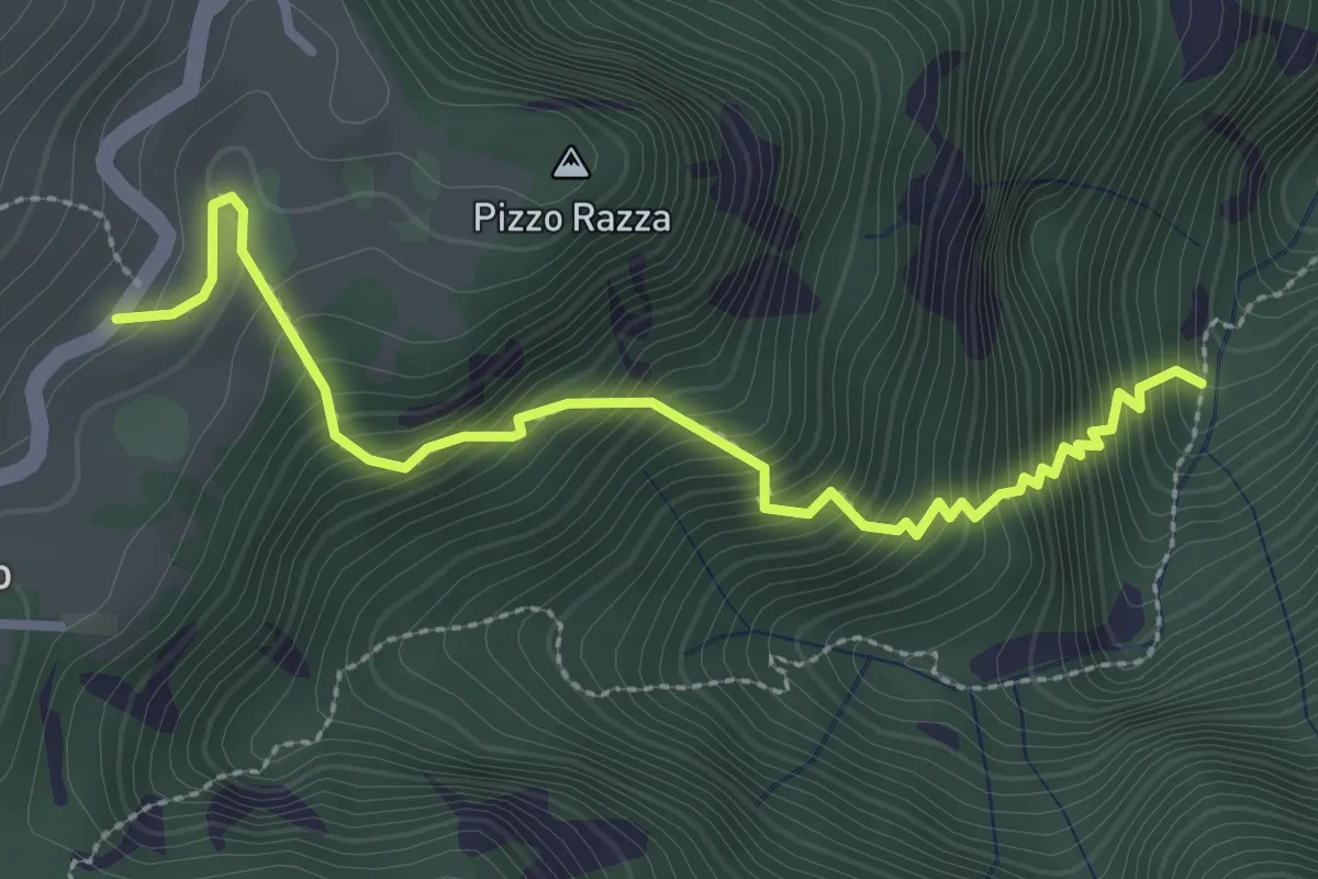
Medium · Trail
Calà del Sasso - Mori di Chiesa di Sasso
3.2 km · ↑ 497 m · 1 h 49 min · 13 km away
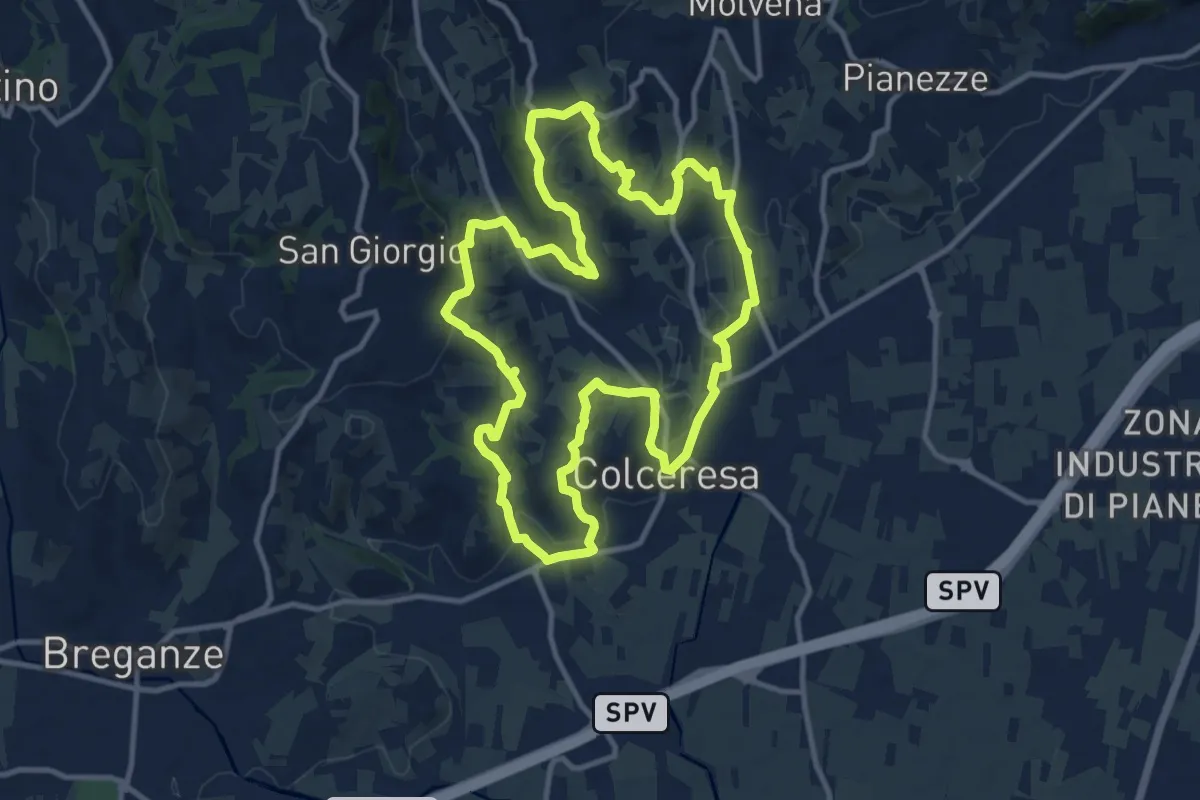
Medium · Trail
Percorso della Lepre
11.9 km · ↑ 354 m · 3 h 45 min · 14 km away
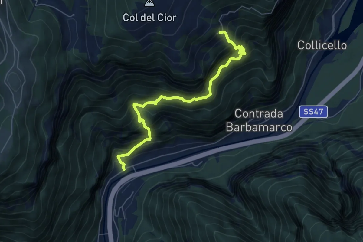
Demanding · Trail
Costa - Valgoda
6.1 km · ↑ 905 m · 3 h 24 min · 14 km away
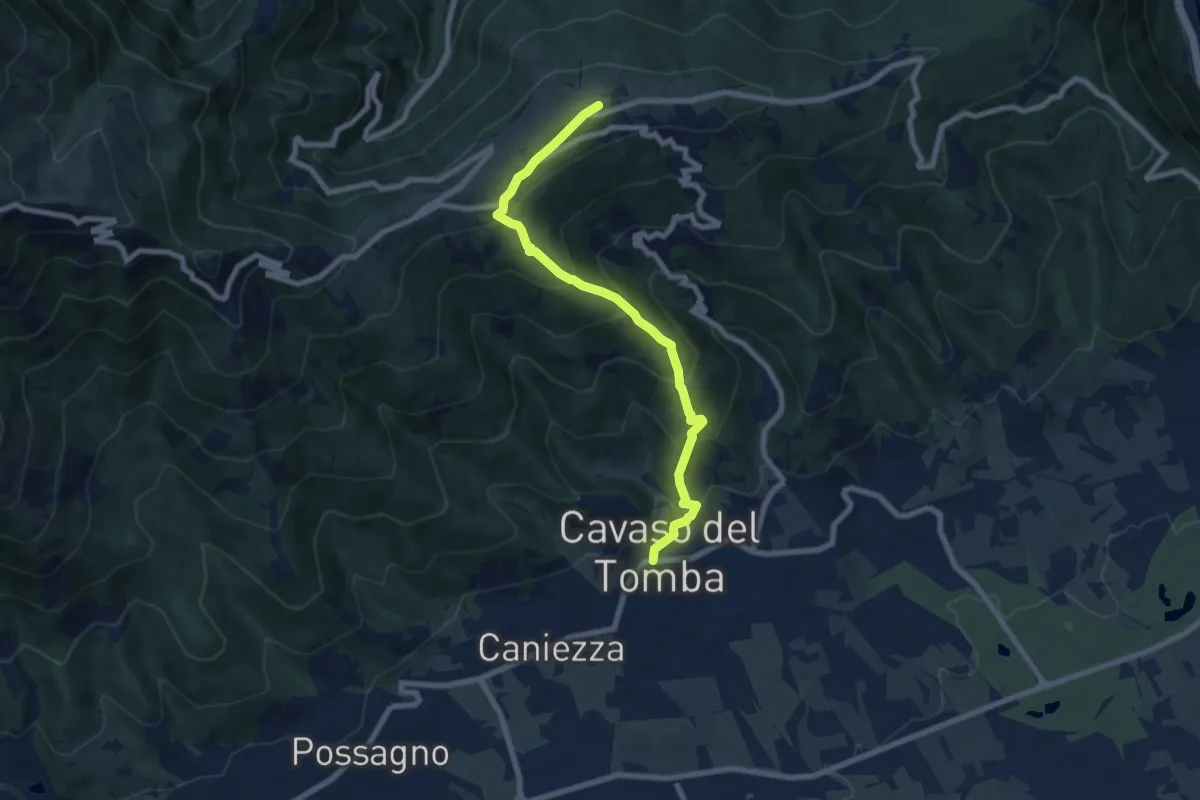
Medium · Summit
Cavaso del Tomba – Monte Tomba
7.7 km · ↑ 581 m · 3 h 4 min · 14 km away
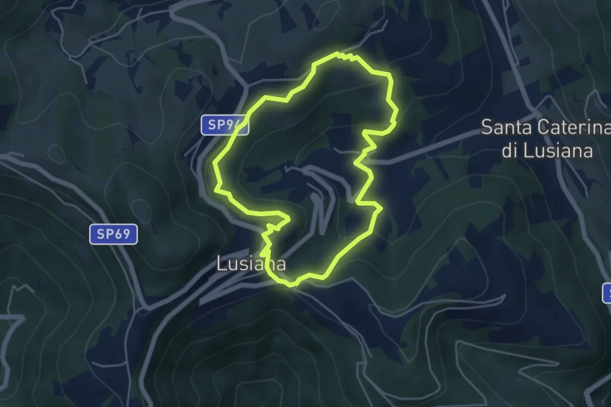
Easy · Trail
Sentiero Pomo Pero
3.9 km · ↑ 200 m · 1 h 25 min · 14 km away
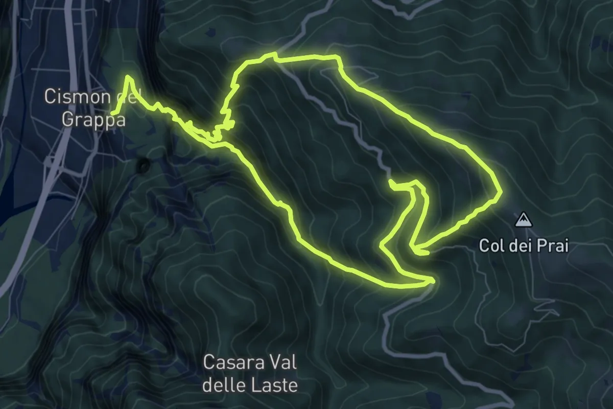
Demanding · Summit
Trodoi Trail 20
8.9 km · ↑ 976 m · 4 h 22 min · 14 km away
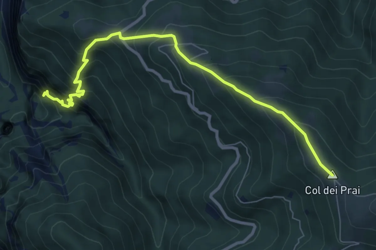
Demanding · Summit
Col dei Prai
7.1 km · ↑ 884 m · 3 h 35 min · 14 km away
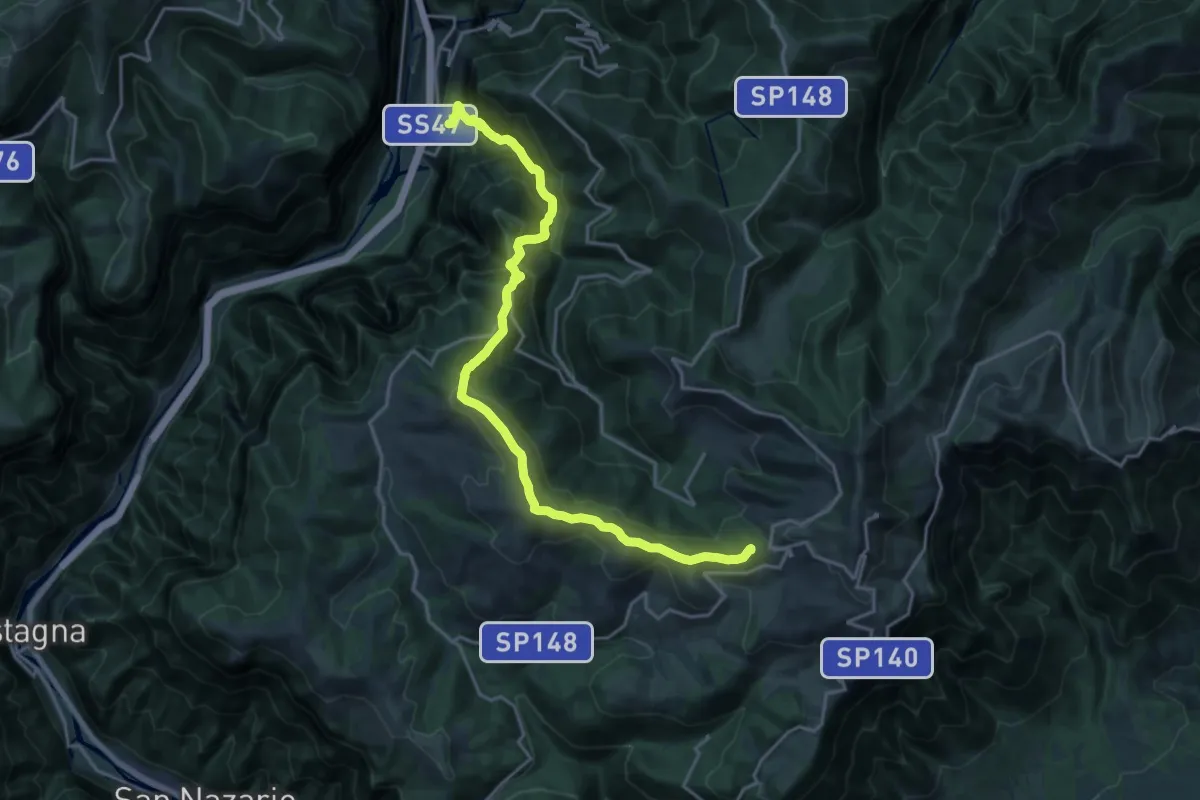
Demanding · Summit
Colli Asoloni
21.2 km · ↑ 1492 m · 8 h 14 min · 14 km away
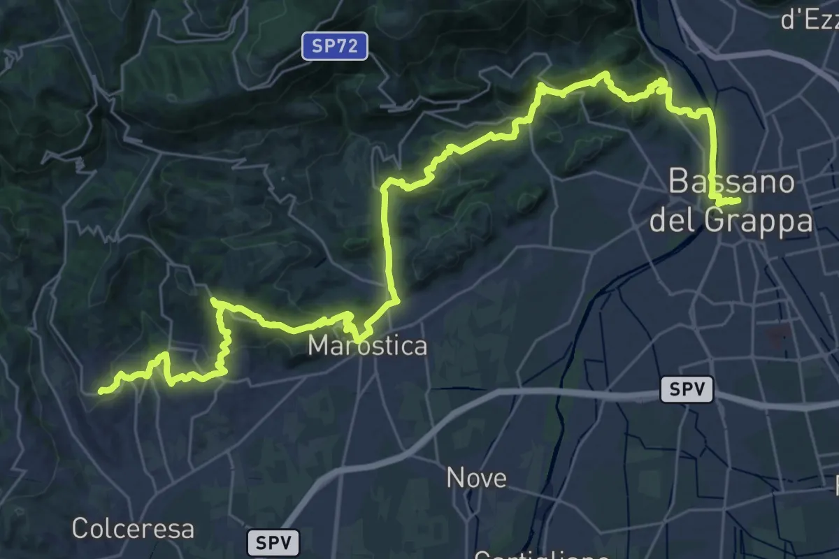
Demanding · Trail
Cammino del Beato Claudio 04
21.6 km · ↑ 683 m · 6 h 56 min · 14 km away
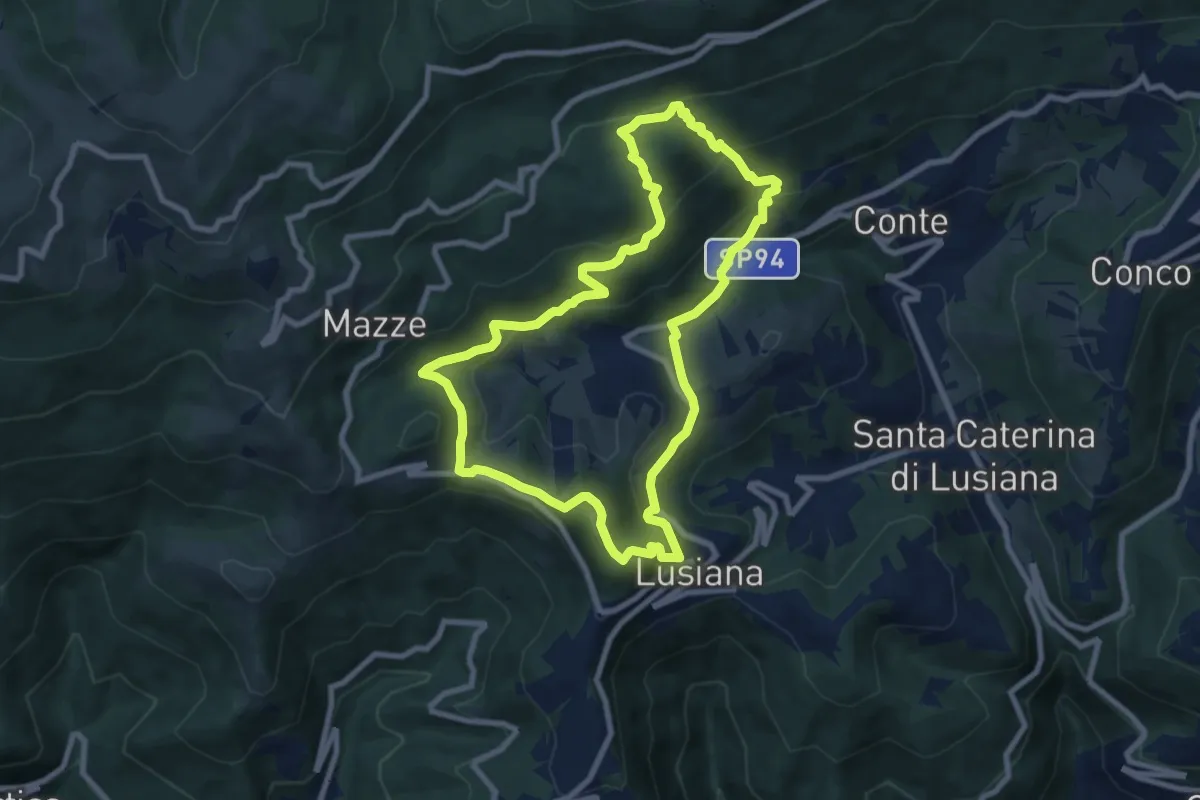
Medium · Summit
Sentiro delle Calcare
8.3 km · ↑ 424 m · 2 h 59 min · 14 km away