Trails near Rosà
52 hikes starting within 15 km, nearest first.
Nearest first, page 1 of 2
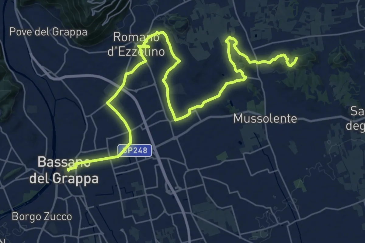
Demanding · Summit
Cammino del Beato Claudio 03
30.2 km · ↑ 395 m · 7 h 59 min · 5 km away
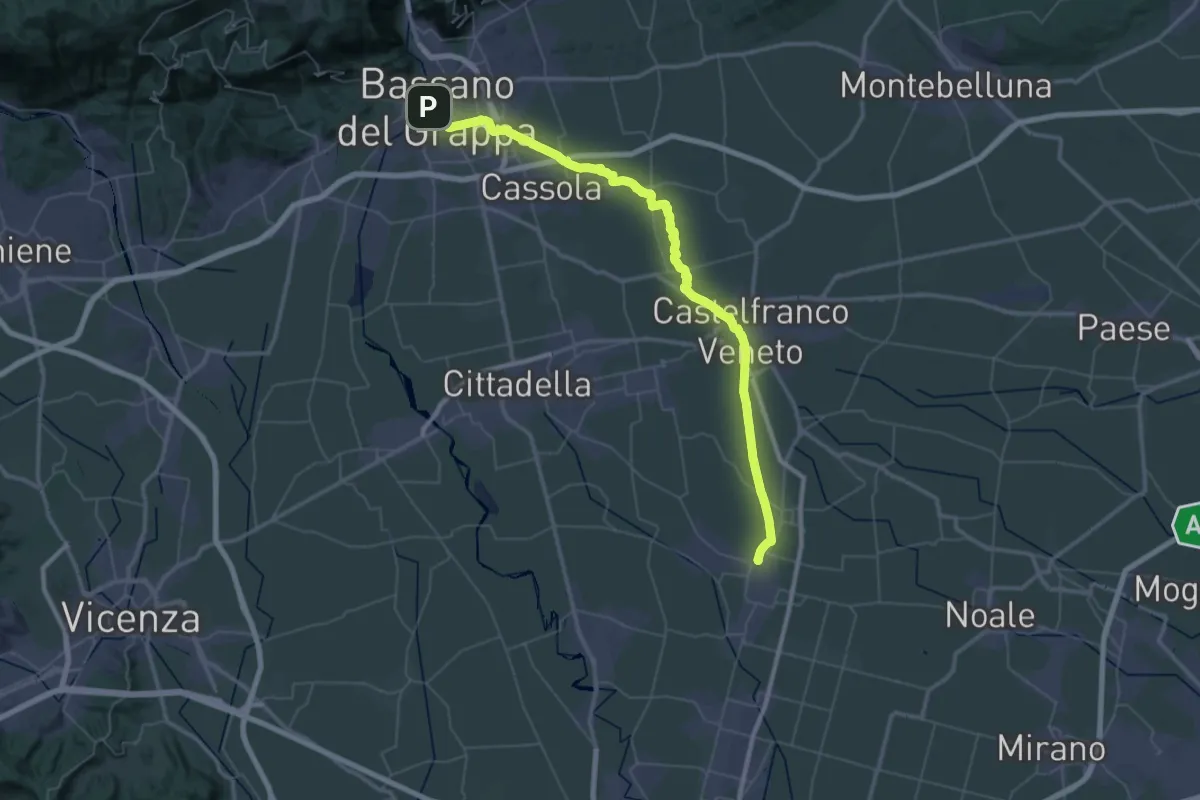
Demanding · Pilgrim path
Il Cammino di Sant'Antonio: Tappa 1N
34.4 km · ↑ 16 m · 8 h 41 min · 5 km away
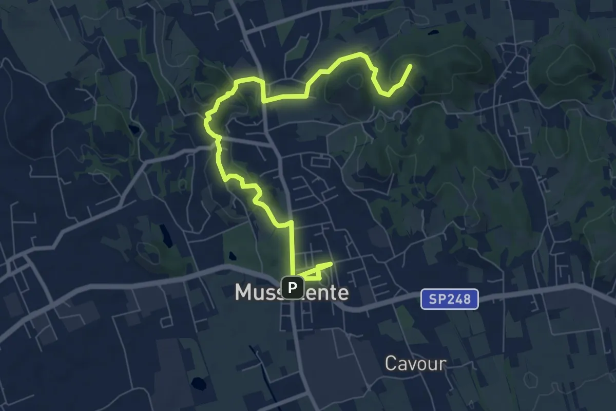
Medium · Summit
Le Volpere
8.9 km · ↑ 231 m · 2 h 36 min · 7 km away
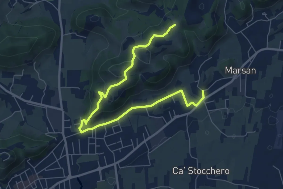
Easy · Trail
San Benedetto
7.5 km · ↑ 248 m · 2 h 18 min · 7 km away
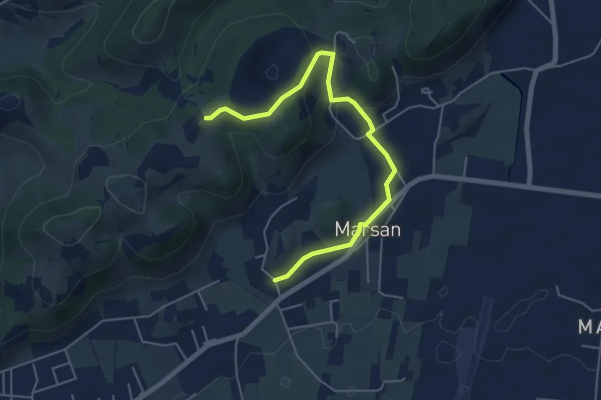
Easy · Trail
San Benedetto - 2B
4.5 km · ↑ 138 m · 1 h 22 min · 8 km away
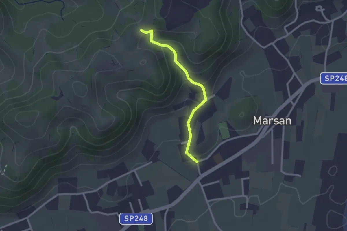
Easy · Trail
San Benedetto - 2A
2.1 km · ↑ 100 m · 42 min · 8 km away
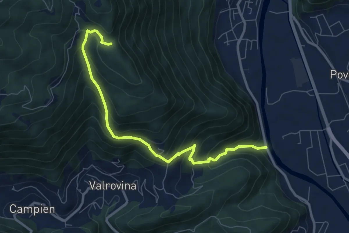
Medium · Trail
Sarson - Caluga - Bocchetta Campesana
7.3 km · ↑ 668 m · 3 h 11 min · 8 km away
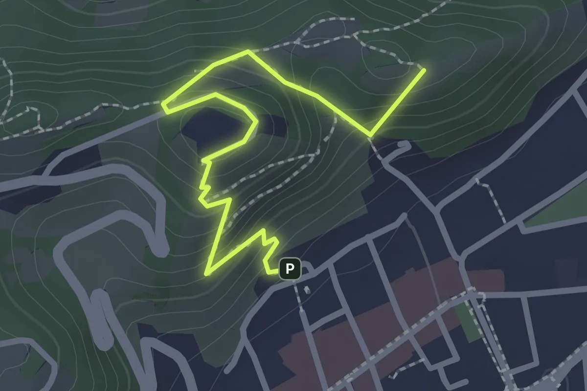
Easy · Summit
Sentiero panoramico e naturalistico
2.5 km · ↑ 165 m · 57 min · 9 km away
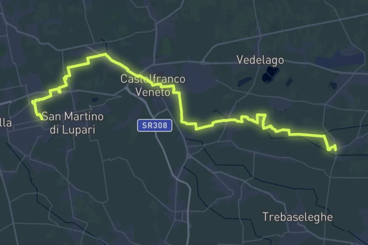
Demanding · Trail
Badoere – San Martino di Lupari
33.1 km · ↑ 16 m · 8 h 19 min · 10 km away
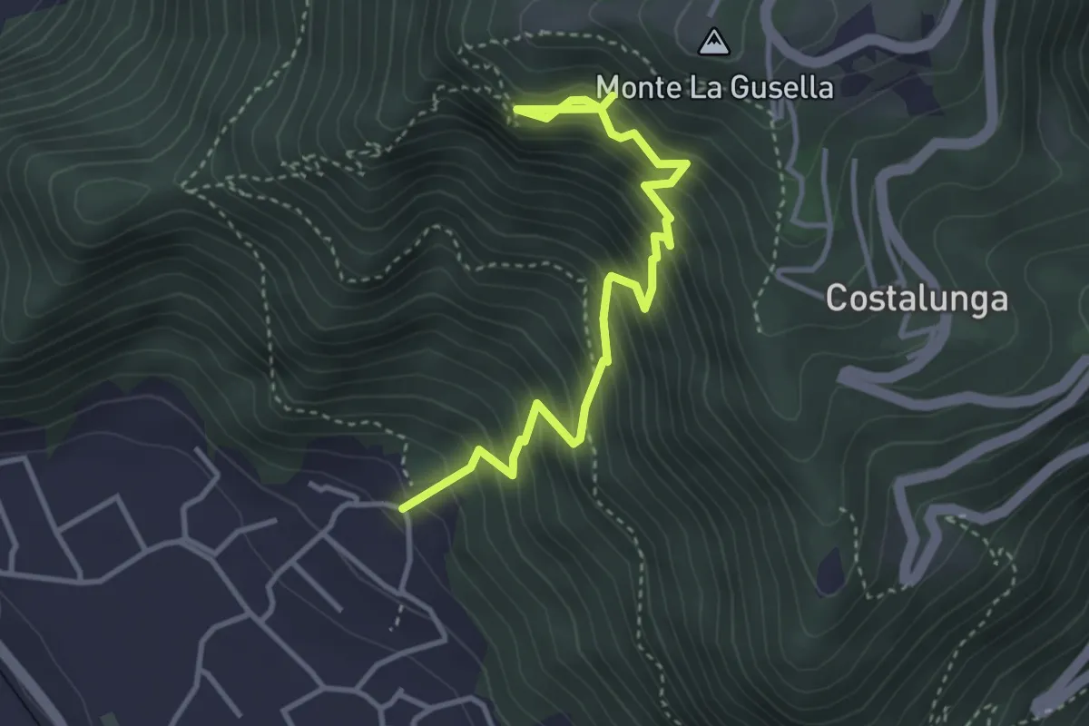
Medium · Trail
Sentiero degli Scalpellini
3.9 km · ↑ 584 m · 2 h 11 min · 10 km away
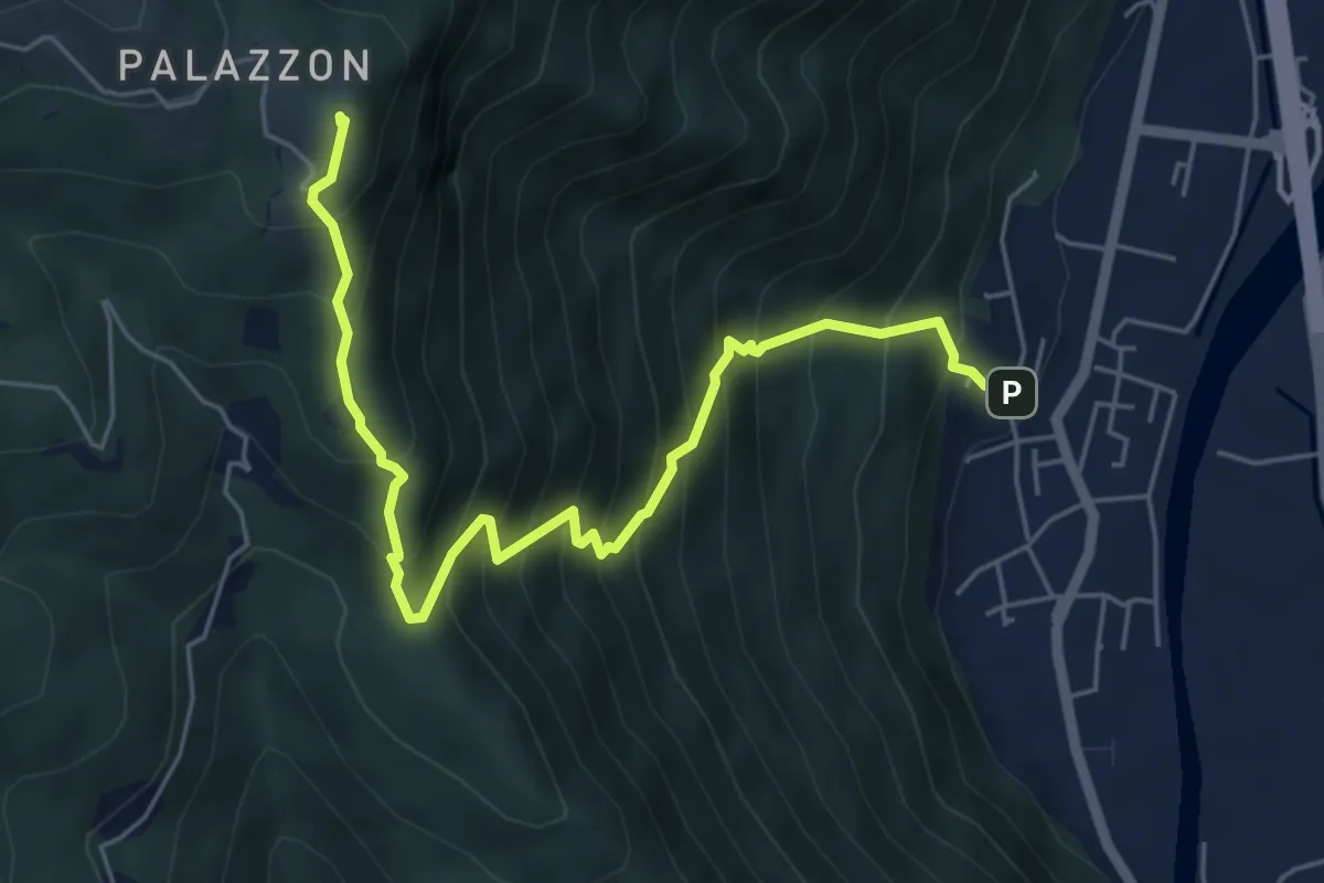
Demanding · Summit
Campese – Strada Rubbio/Cas. Campolongo - inn. sent. 800
6.3 km · ↑ 819 m · 3 h 16 min · 10 km away
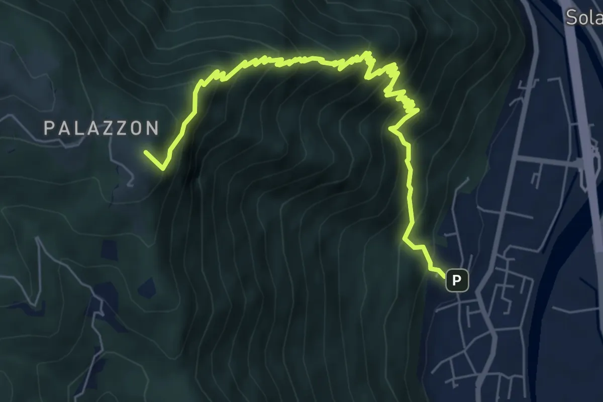
Demanding · Summit
Costa Solana;Saponai
8.0 km · ↑ 872 m · 3 h 46 min · 10 km away
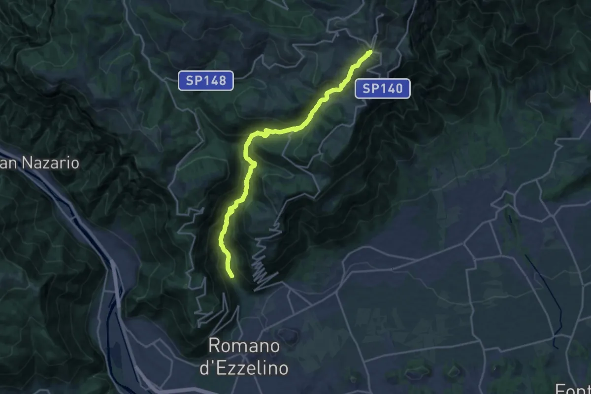
Demanding · Trail
Valle Santa Felicita - dalla Mena – Monte Meda - innesto sentiero 100
18.0 km · ↑ 1467 m · 7 h 26 min · 10 km away
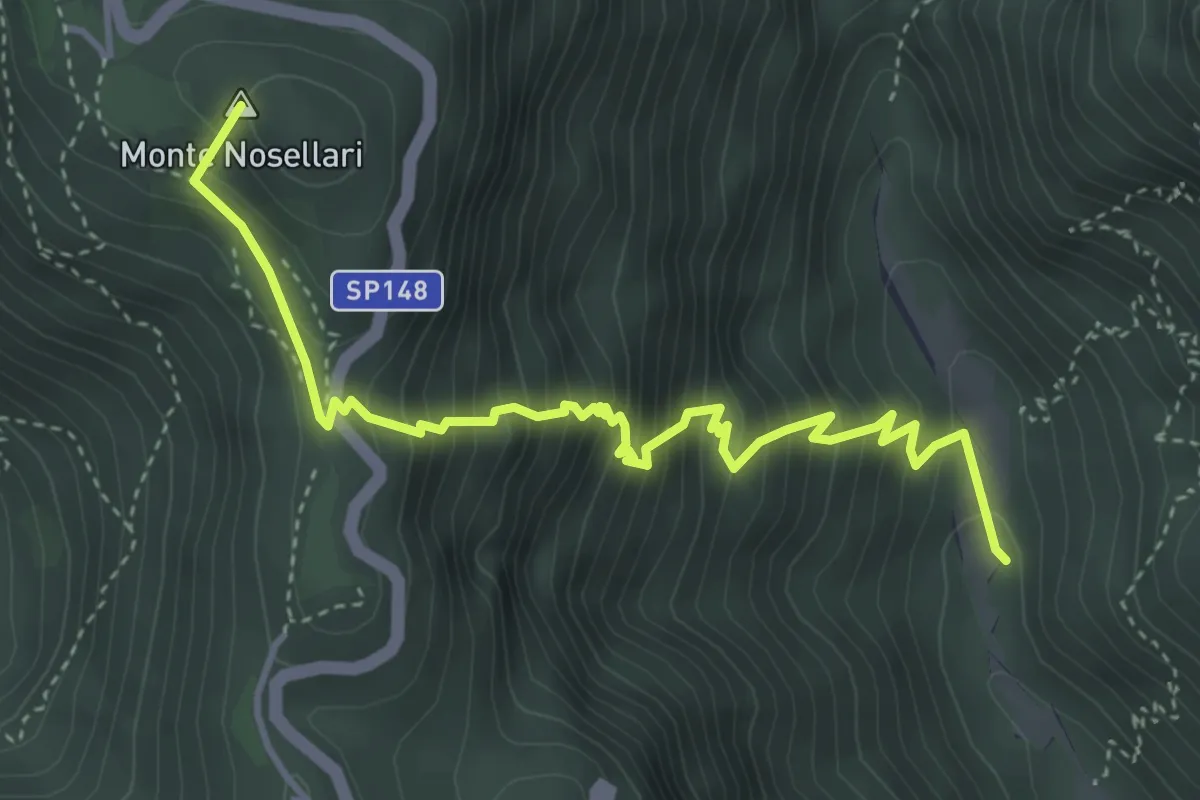
Medium · Summit
Il Cavallo
4.5 km · ↑ 624 m · 2 h 25 min · 10 km away
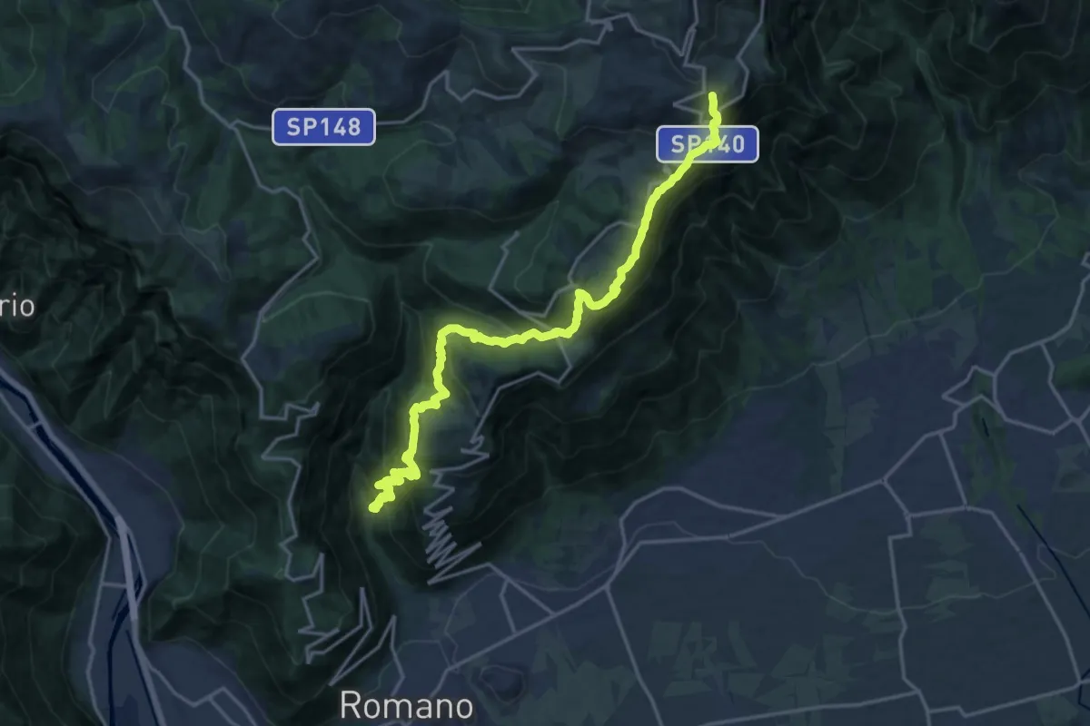
Demanding · Summit
Bassa Valle Santa Felicita da sentiero 180 – Ossario di Cima Grappa
19.5 km · ↑ 1660 m · 8 h 12 min · 11 km away
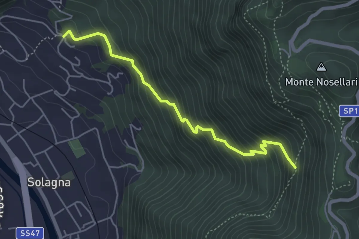
Medium · Trail
Solagna - Bresagge – Nogarole - inn. sent. 950
4.3 km · ↑ 446 m · 1 h 58 min · 11 km away
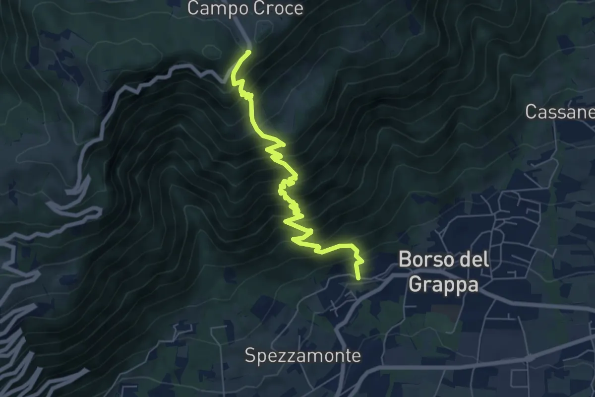
Demanding · Trail
località Busa – località Campocroce
6.4 km · ↑ 824 m · 3 h 18 min · 11 km away
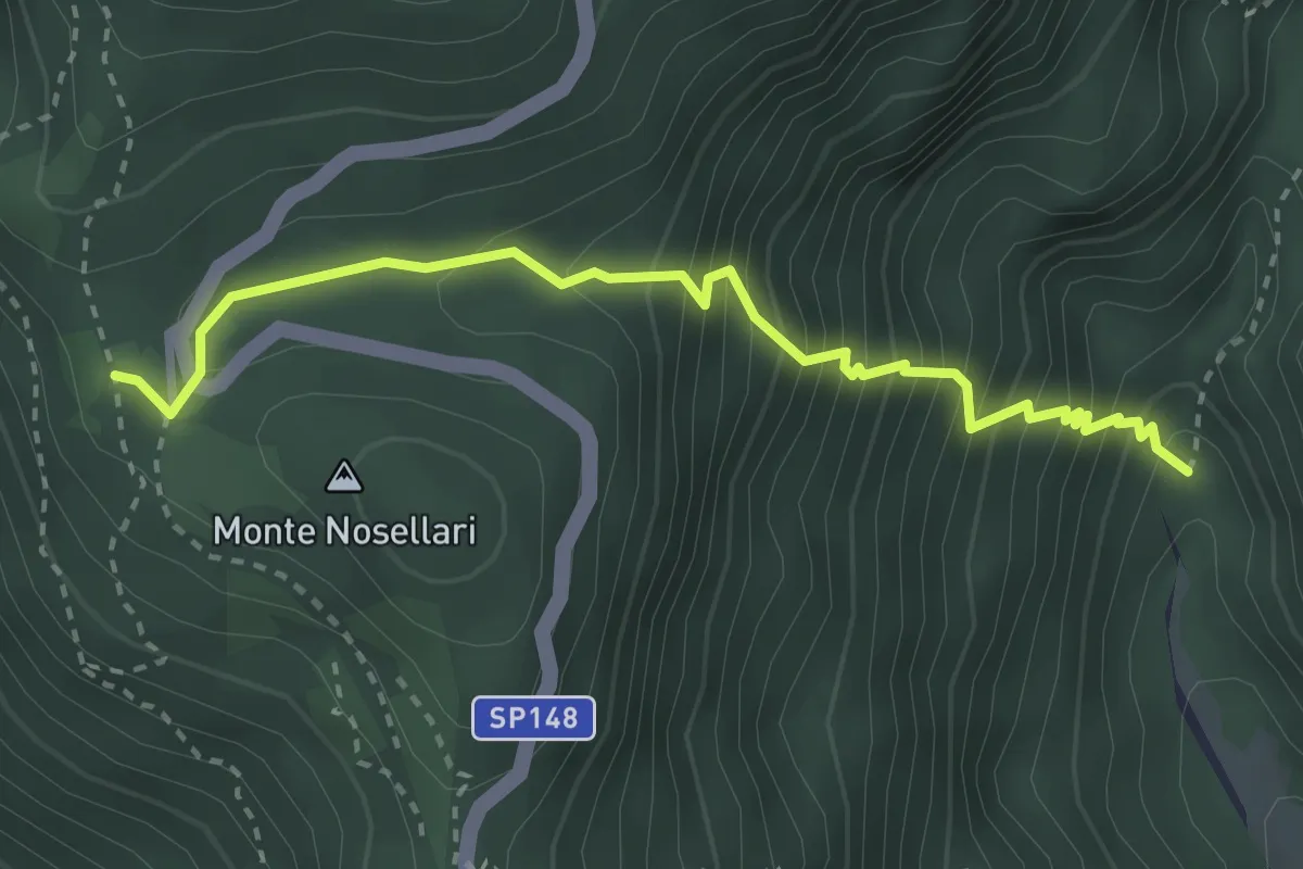
Medium · Trail
Valle Santa Felicita-da sent. 180 - palestra roccia – Pian dei Nosellari- inn. sent. 950
3.2 km · ↑ 470 m · 1 h 46 min · 11 km away
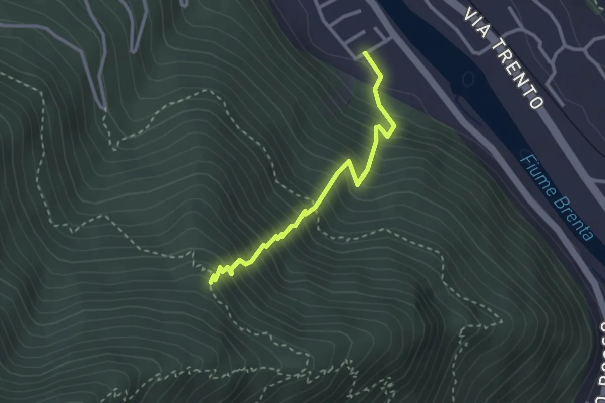
Medium · Trail
Sentiero Sbarramento
2.5 km · ↑ 517 m · 1 h 43 min · 11 km away
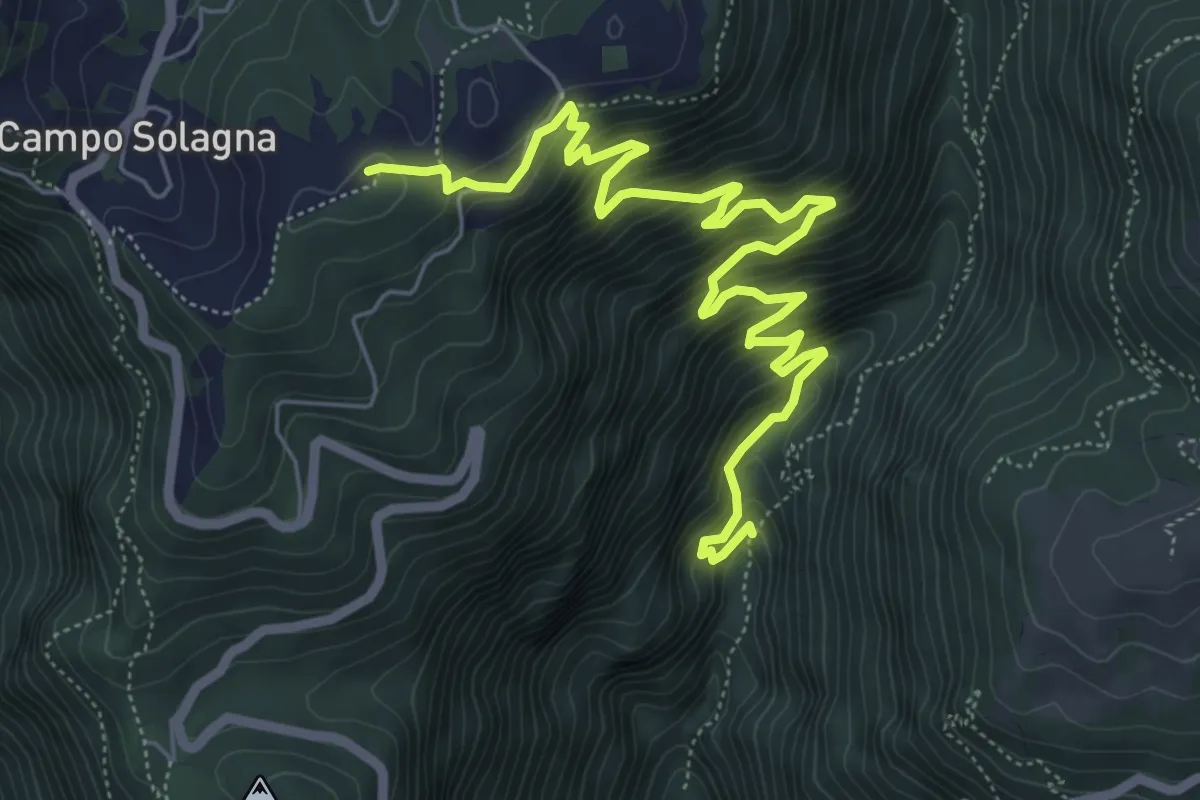
Medium · Summit
Valle Santa Felicita-da sent. 180 - dopo pal. roccia – Campo Solagna
7.6 km · ↑ 740 m · 3 h 24 min · 12 km away
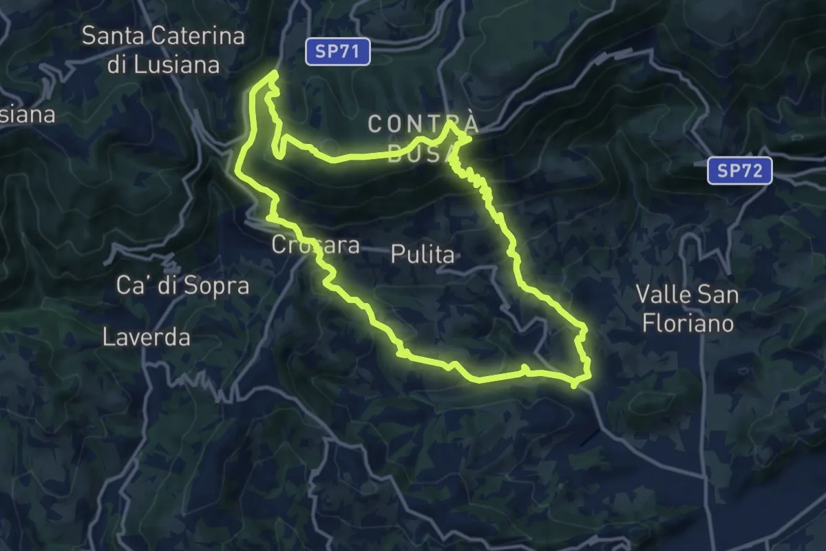
Medium · Summit
Marostica – Marostica
13.3 km · ↑ 681 m · 4 h 48 min · 12 km away
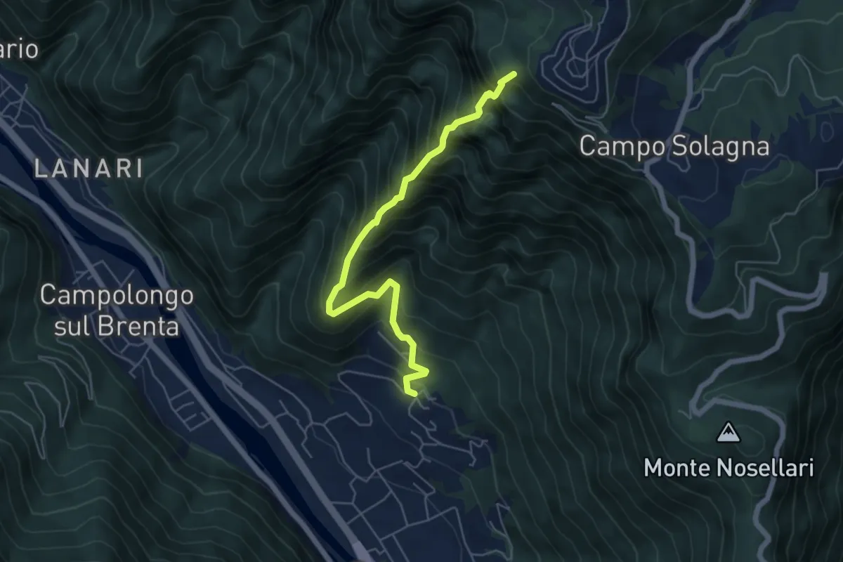
Expert · Trail
Cresta di San Giorgio
5.5 km · ↑ 853 m · 3 h 9 min · 12 km away
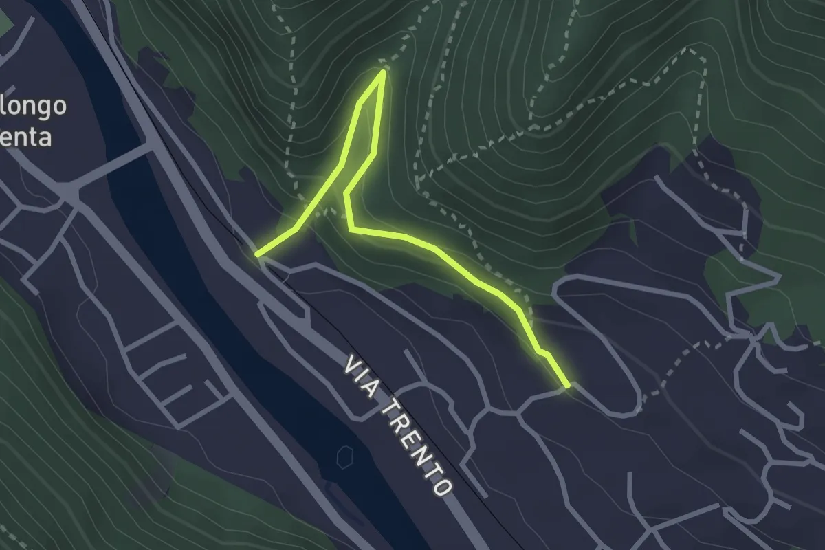
Easy · Trail
Sentiero dei Borghi Solagna
2.6 km · ↑ 219 m · 1 h 6 min · 12 km away
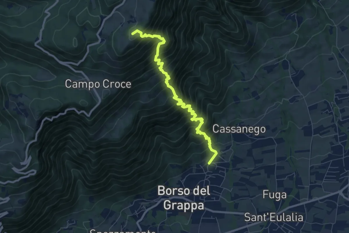
Demanding · Summit
località Rore – sotto Monte Legnarola - innesto sentiero 100
8.2 km · ↑ 1042 m · 4 h 11 min · 12 km away
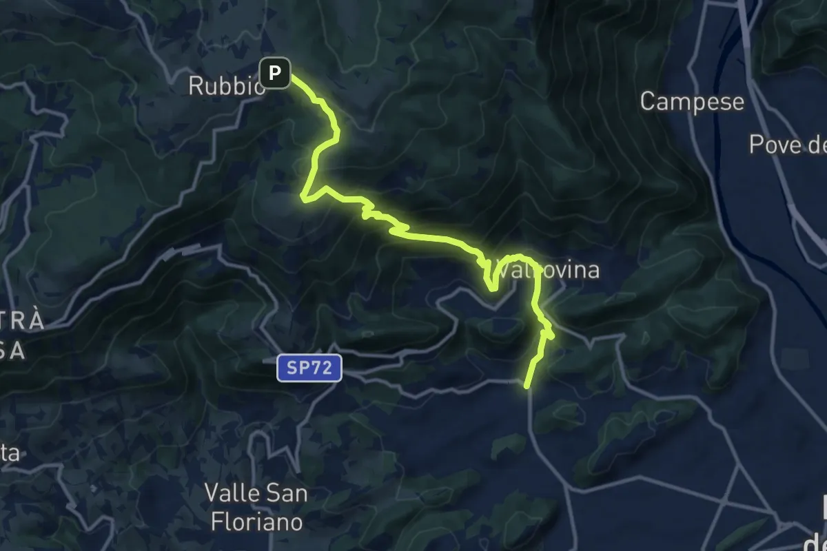
Demanding · Trail
San Michele - Valrovina - Rubbio
13.2 km · ↑ 900 m · 5 h 4 min · 12 km away
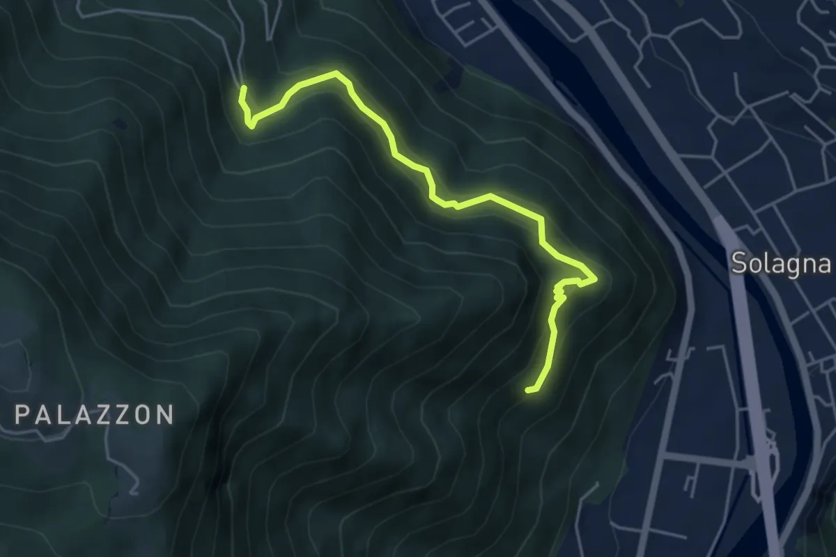
Medium · Trail
Sentiero del Fen
4.5 km · ↑ 435 m · 2 h · 12 km away
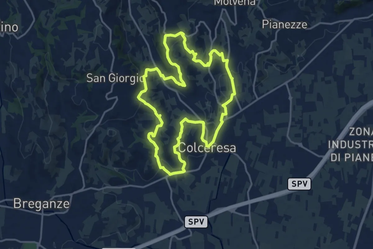
Medium · Trail
Percorso della Lepre
11.9 km · ↑ 354 m · 3 h 45 min · 12 km away
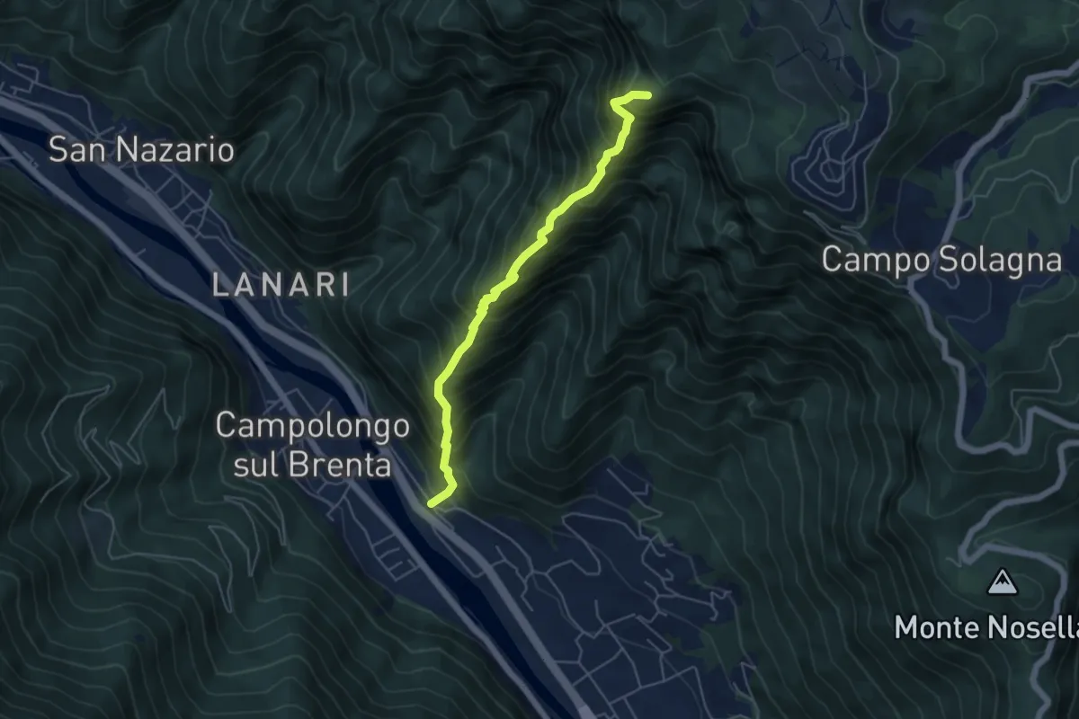
Expert · Summit
Cresta dei Cavallini
5.0 km · ↑ 884 m · 3 h 6 min · 12 km away
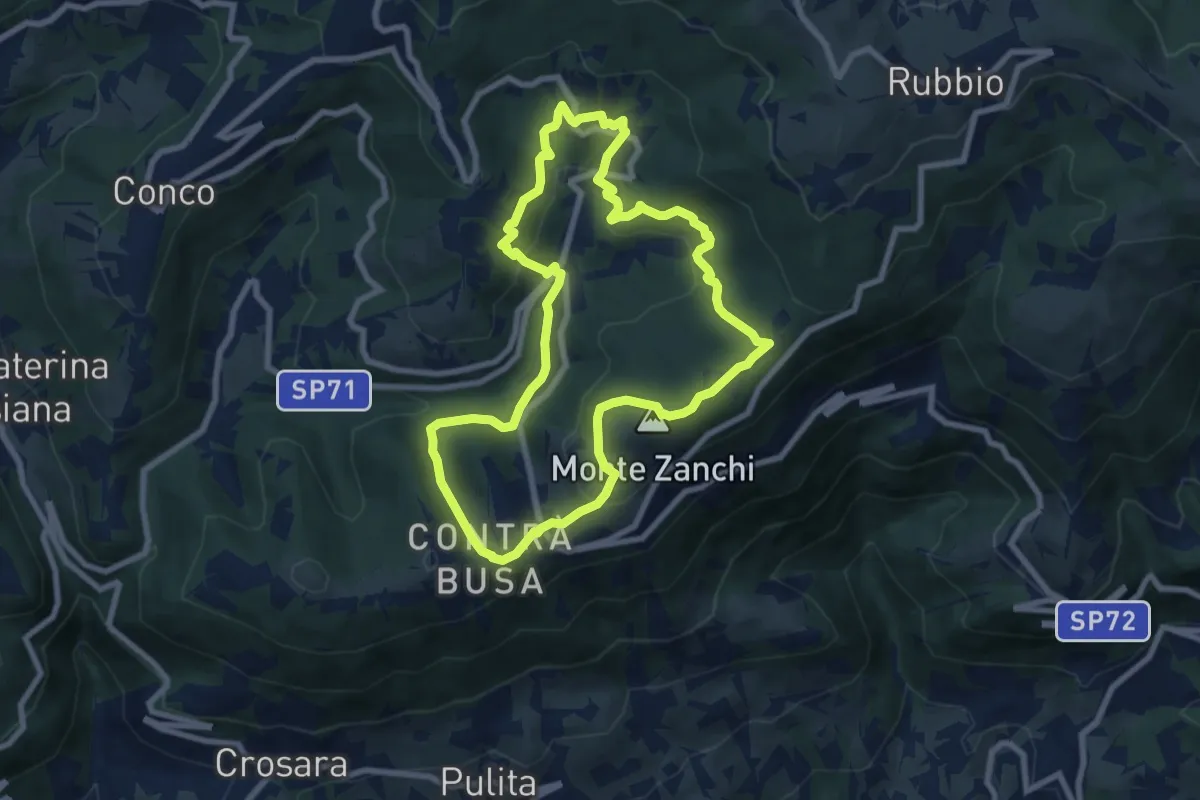
Easy · Summit
Anello di Fontanelle
7.8 km · ↑ 291 m · 2 h 35 min · 12 km away
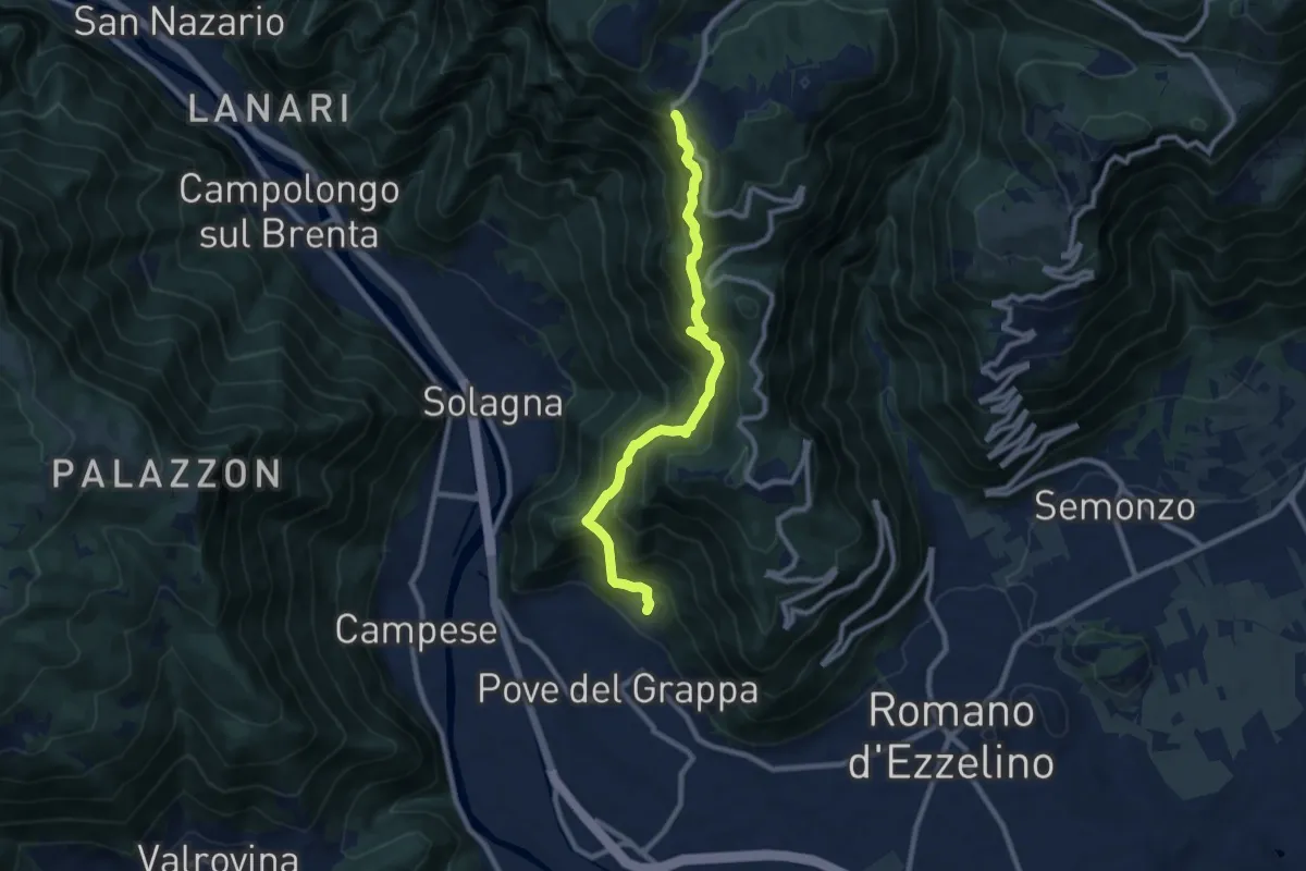
Demanding · Trail
Pove del Grappa – Campo Solagna
8.9 km · ↑ 830 m · 3 h 54 min · 12 km away
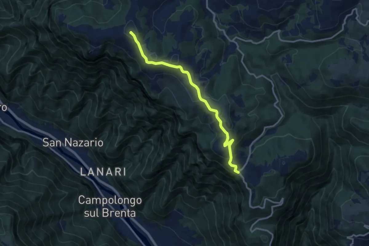
Medium · Summit
Campo Solagna – Finestron - inn. sent. 929
8.9 km · ↑ 333 m · 2 h 49 min · 12 km away
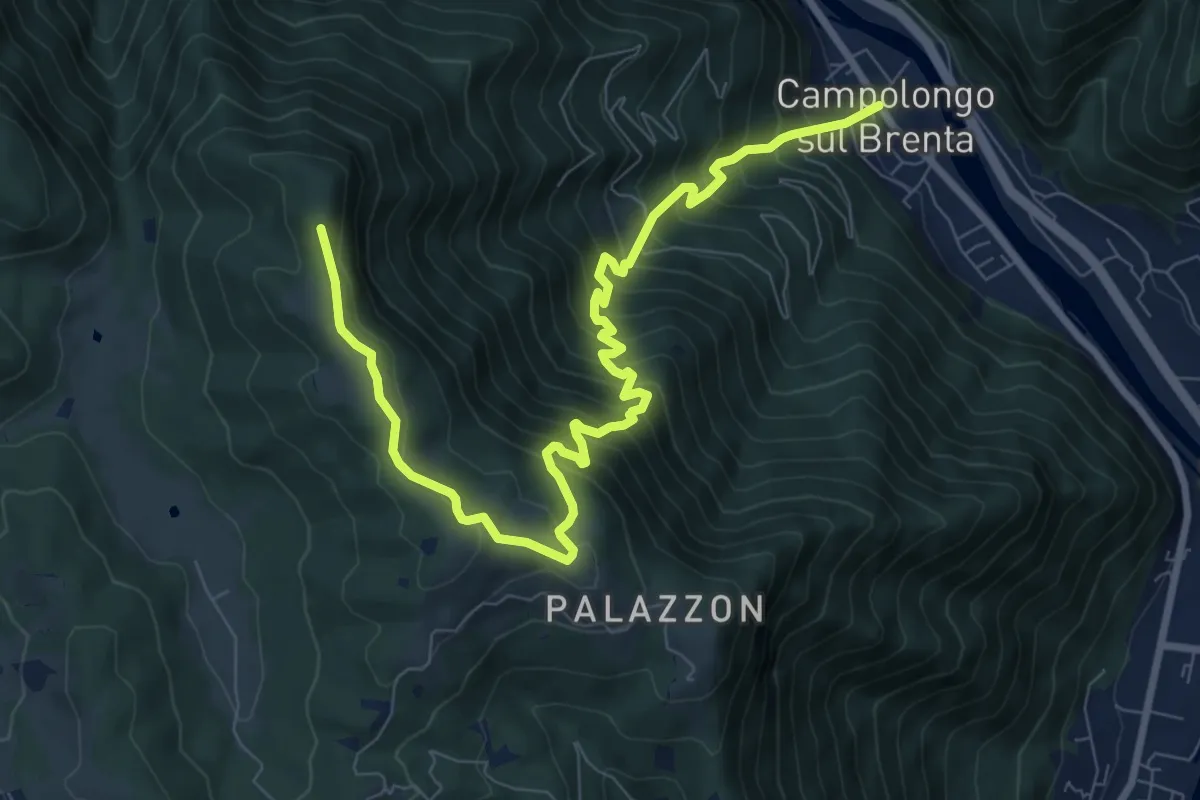
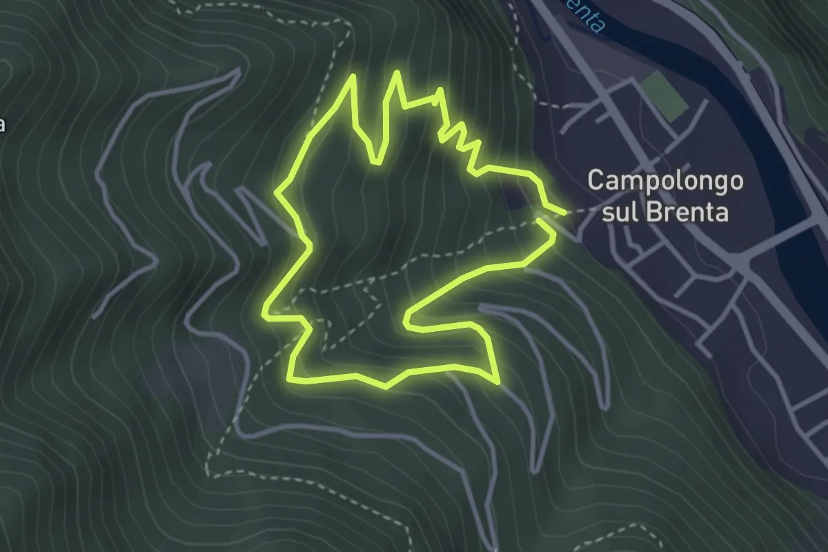
Demanding · Summit
Campolongo sul Brenta - Casare di Campolongo - Monte Campolongo
10.5 km · ↑ 1136 m · 4 h 57 min · 13 km away
Easy · Trail
Sentiero Didattico Antonia Dal Sasso
3.1 km · ↑ 307 m · 1 h 26 min · 13 km away
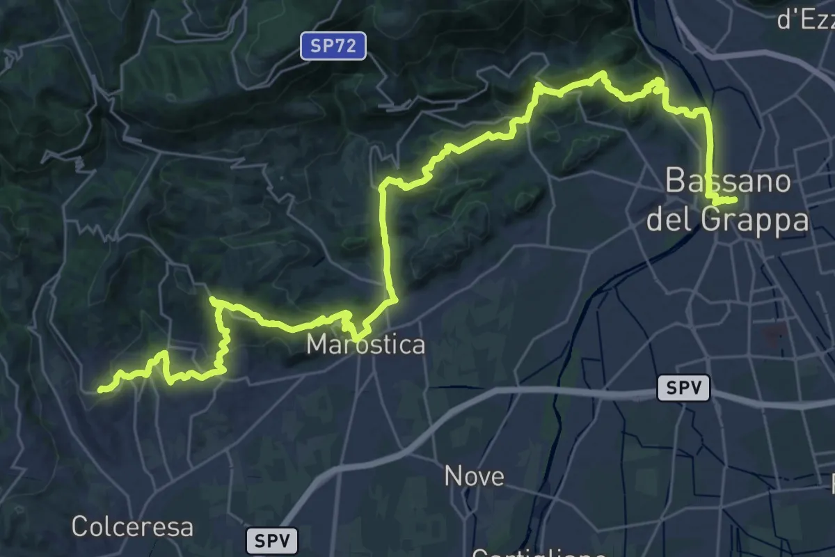
Demanding · Trail
Cammino del Beato Claudio 04
21.6 km · ↑ 683 m · 6 h 56 min · 13 km away
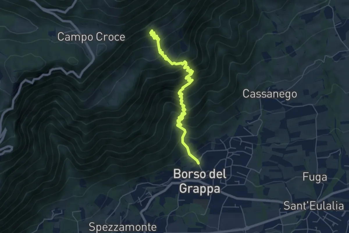
Medium · Trail
nei pressi della Chiesa – Casera de Usea - innesto sentiero 102
6.4 km · ↑ 695 m · 3 h 1 min · 13 km away
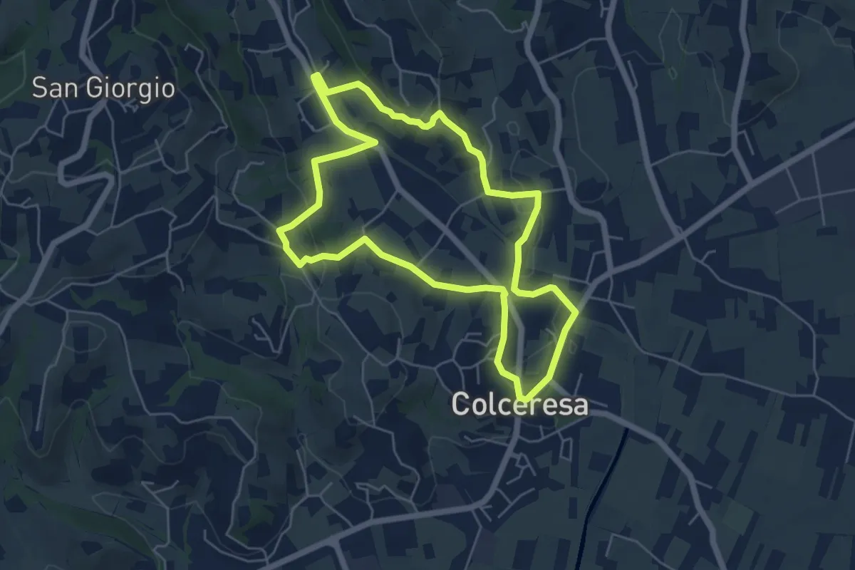
Easy · Trail
Percorso dello Scoiattolo
5.4 km · ↑ 119 m · 1 h 36 min · 13 km away
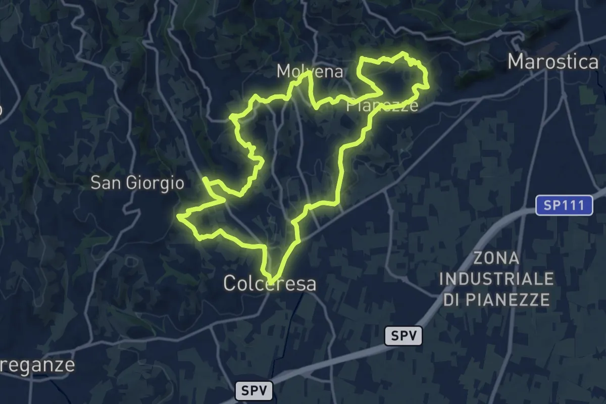
Medium · Trail
Colceresa
14.7 km · ↑ 468 m · 4 h 42 min · 13 km away
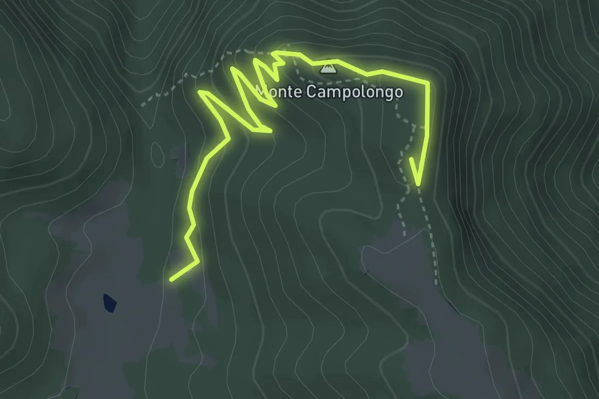
Medium · Summit
Sentiero Linea Montana
4.6 km · ↑ 187 m · 1 h 29 min · 13 km away
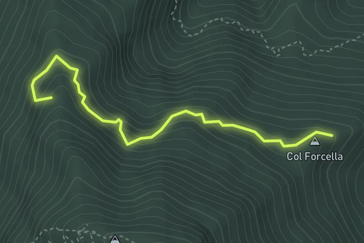
Easy · Summit
Sentiero Cotessini
3.4 km · ↑ 304 m · 1 h 28 min · 13 km away
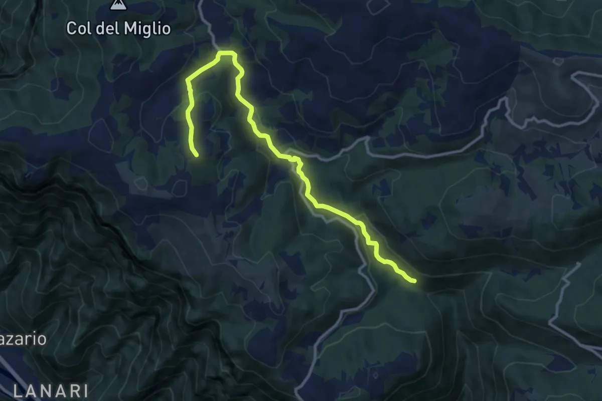
Medium · Trail
Cason Pianaro - da sent. 970 – San Giovanni sul Grappa
10.8 km · ↑ 337 m · 3 h 16 min · 14 km away
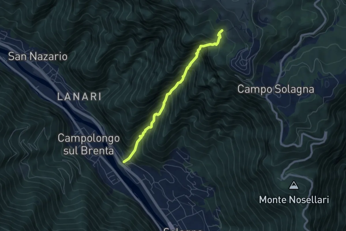
Demanding · Trail
Val dei Cavallini
5.5 km · ↑ 951 m · 3 h 22 min · 14 km away
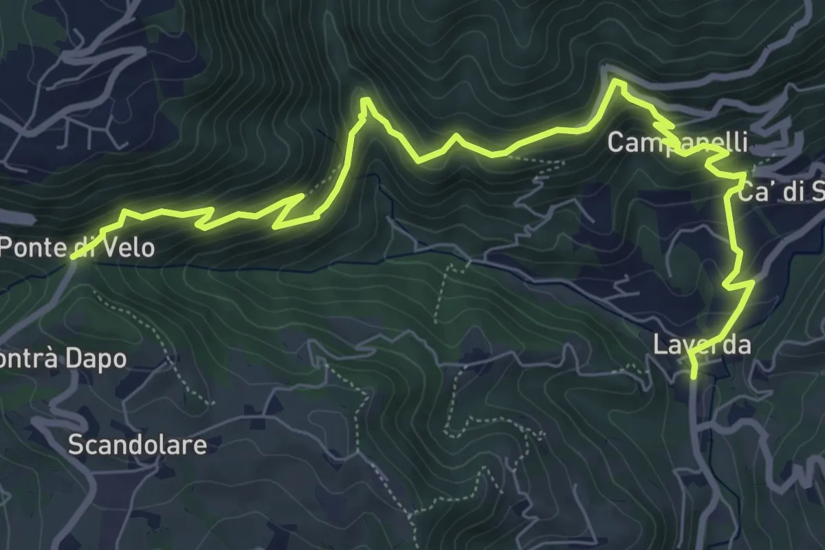
Medium · Trail
Sentiero dei Maronari
8.9 km · ↑ 552 m · 3 h 18 min · 14 km away
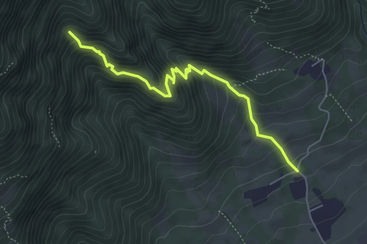
Medium · Trail
Località Fontanelle – Alta Val Cassanega - innesto sent. 102
4.8 km · ↑ 452 m · 2 h 7 min · 14 km away
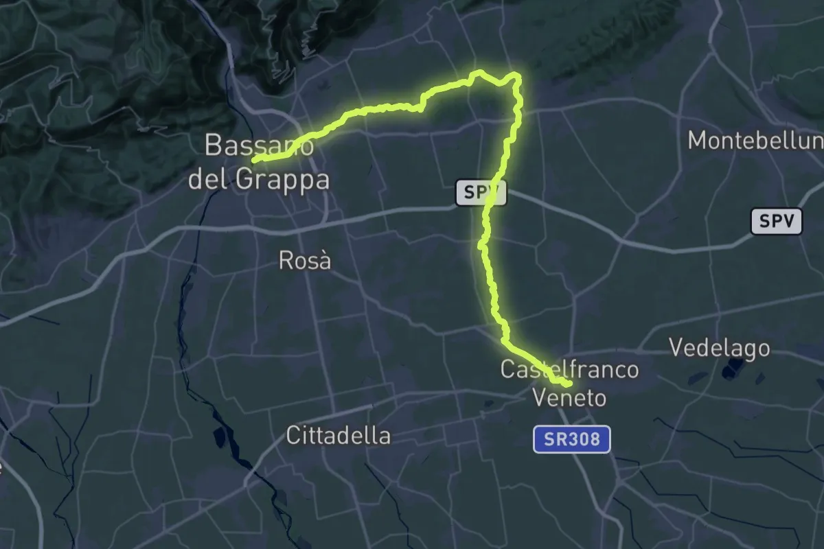
Demanding · Trail
Cammino del beato Enrico - Tappa 8
35.7 km · ↑ 255 m · 9 h 27 min · 14 km away
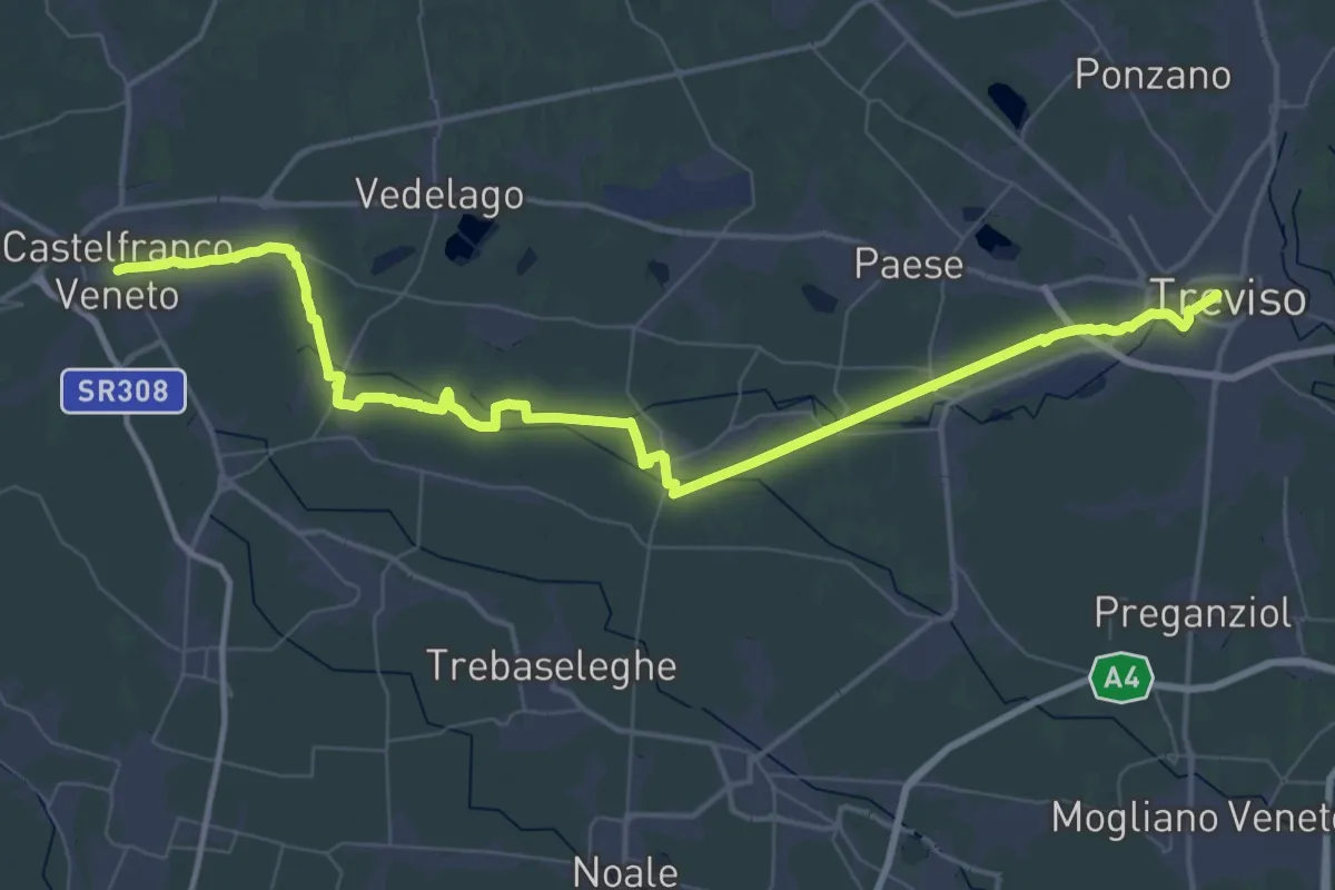
Demanding · Trail
Cammino del beato Enrico - Tappa 9
32.5 km · ↑ 13 m · 8 h 10 min · 14 km away
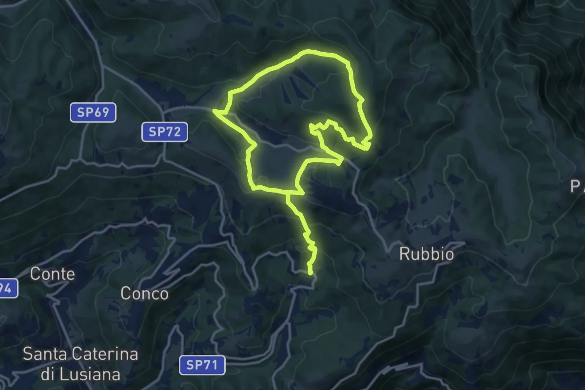
Medium · Summit
Ciscati - Biancoia
9.8 km · ↑ 297 m · 3 h 13 min · 14 km away
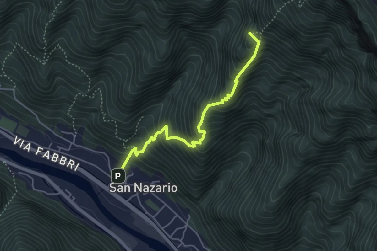
Medium · Summit
Sannazara
4.0 km · ↑ 548 m · 2 h 8 min · 14 km away
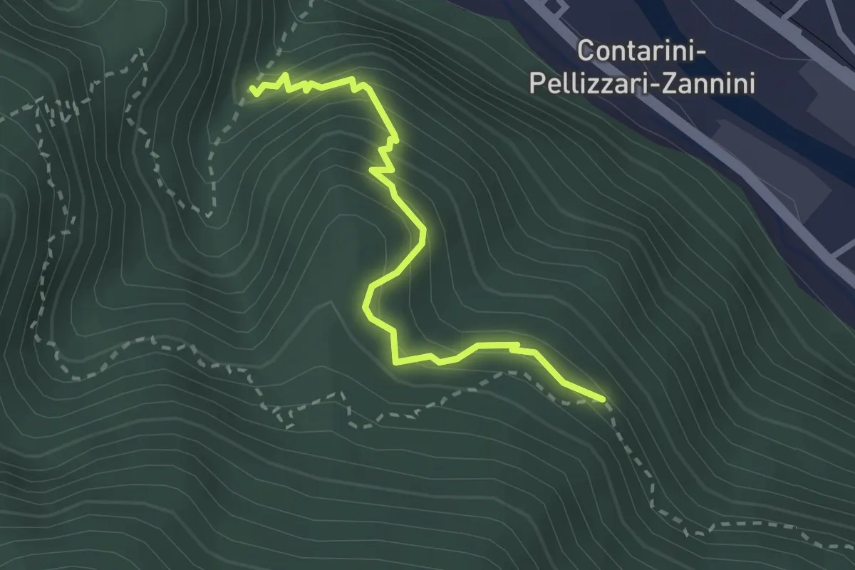
Medium · Trail
Sentiero Castelmago
2.5 km · ↑ 326 m · 1 h 18 min · 14 km away