Trails near Rosignano Solvay
36 hikes starting within 15 km, nearest first.
Nearest first
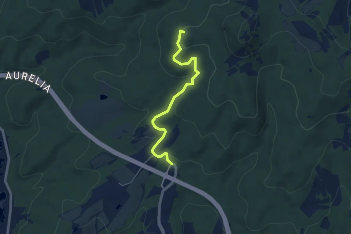
Easy · Summit
Lunga del Pelato
4.3 km · ↑ 129 m · 1 h 18 min · 3 km away
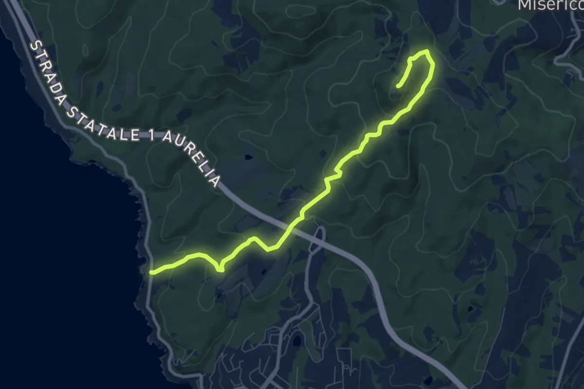
Medium · Summit
Le Forbici – Monte Pelato
9.1 km · ↑ 352 m · 2 h 55 min · 4 km away
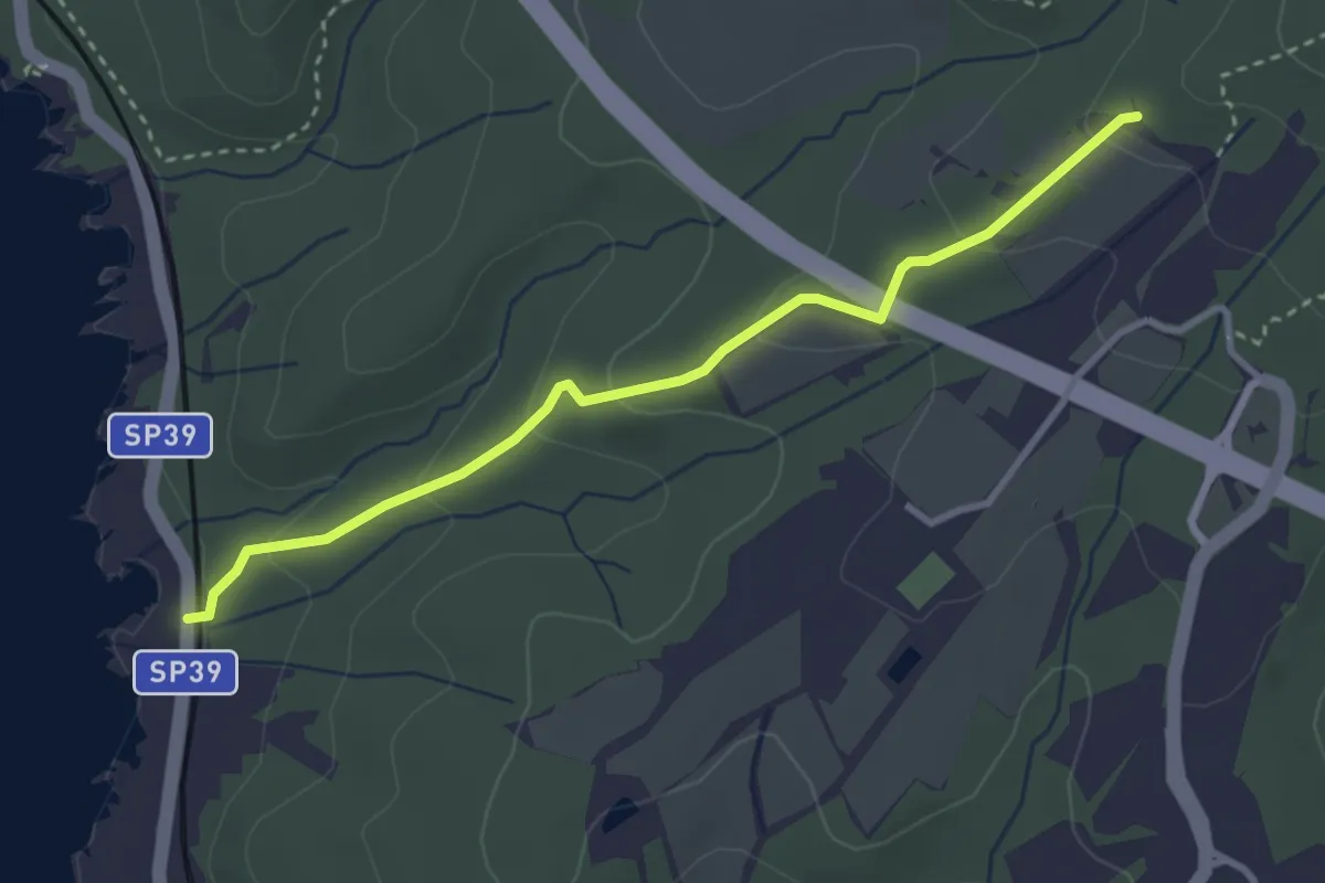
Easy · Trail
Le Forbici – Miniera del Massaccio (sent. 188A)
3.4 km · ↑ 147 m · 1 h 8 min · 4 km away
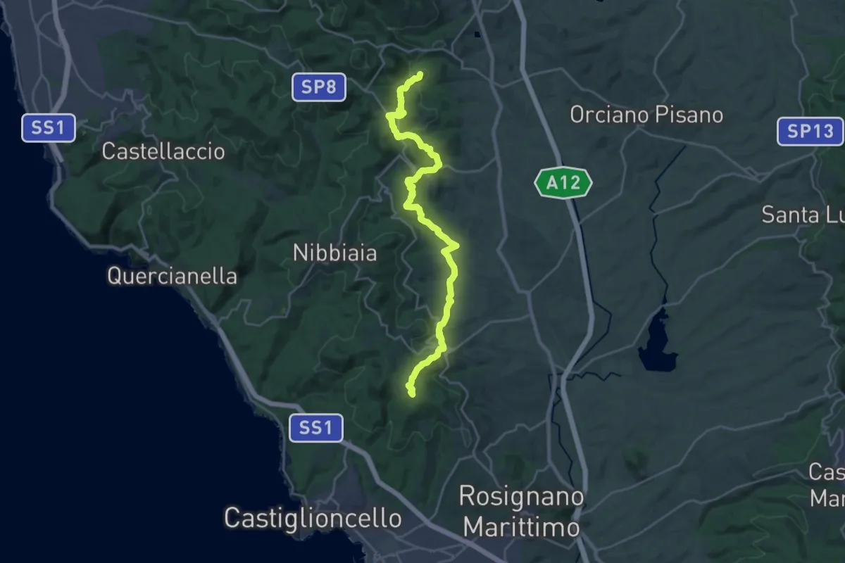
Demanding · Summit
Strada del Mille
24.2 km · ↑ 740 m · 7 h 19 min · 4 km away
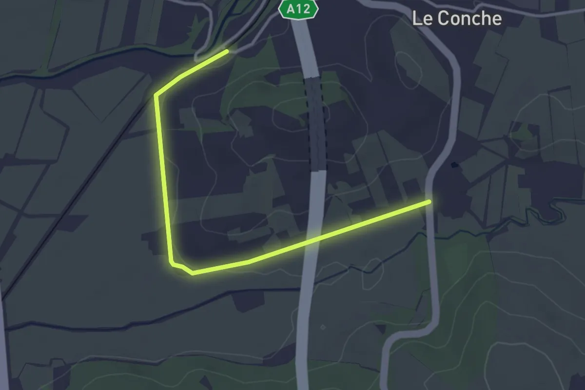
Easy · Trail
Traversata delle Colline Livornesi (100C - via Pie' di Grotti)
3.8 km · ↑ 9 m · 55 min · 5 km away
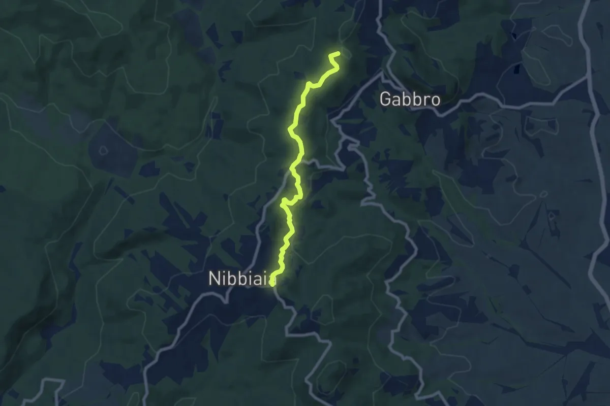
Easy · Summit
La Malavolta – Nibbiaia (via Buontalenti)
7.2 km · ↑ 209 m · 2 h 10 min · 8 km away
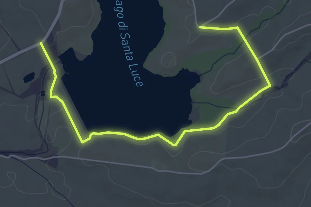
Easy · Trail
Anello Lago di Santa Luce
6.2 km · ↑ 61 m · 1 h 35 min · 9 km away
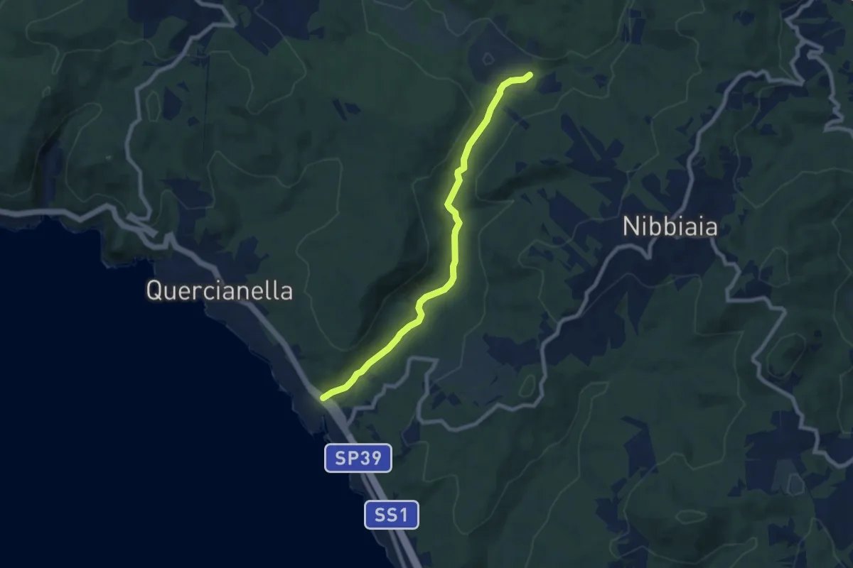
Easy · Trail
Valle del Chioma
7.6 km · ↑ 74 m · 1 h 58 min · 9 km away
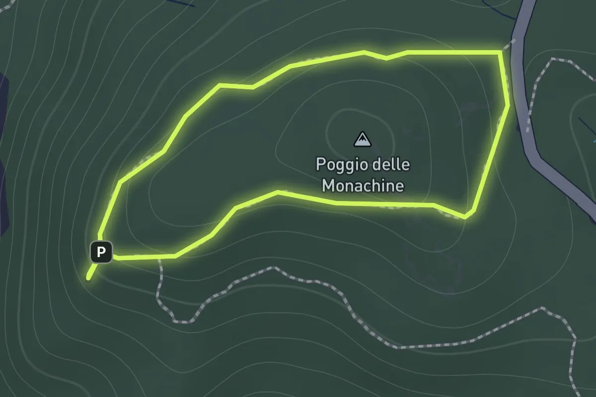
Easy · Summit
Anello di Poggio delle Monachine
1.3 km · ↑ 57 m · 26 min · 10 km away
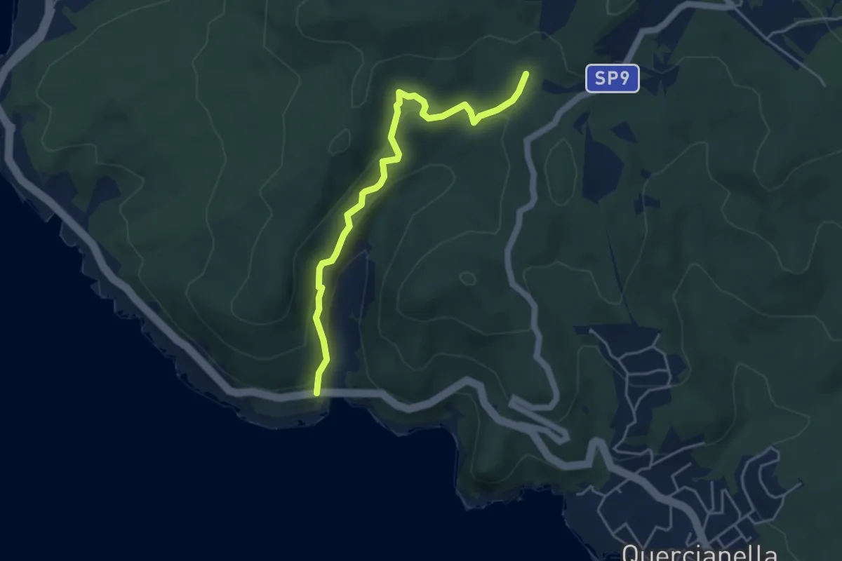
Easy · Trail
Ponte Calignaia – Sentiero 146
4.6 km · ↑ 270 m · 1 h 40 min · 11 km away
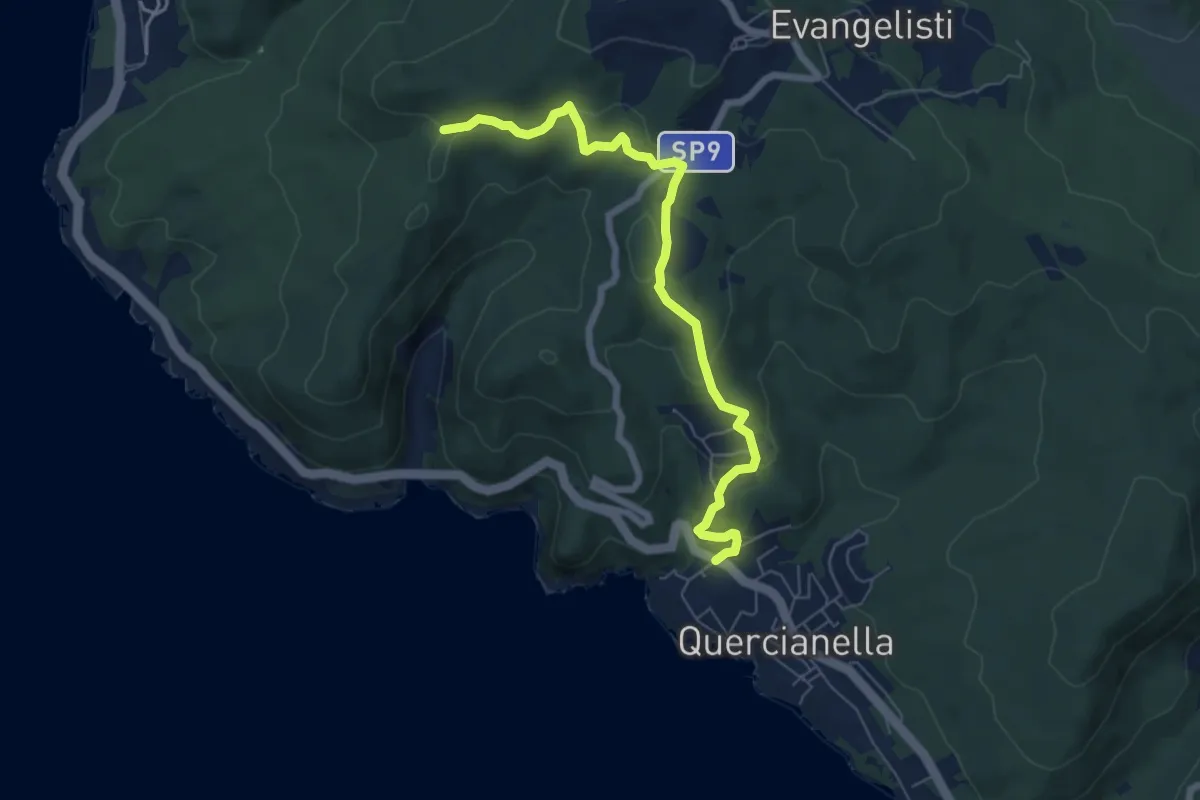
Easy · Trail
Quercianella (Parcheggio) – Il Montaccio (sent. 144)
7.0 km · ↑ 249 m · 2 h 11 min · 11 km away
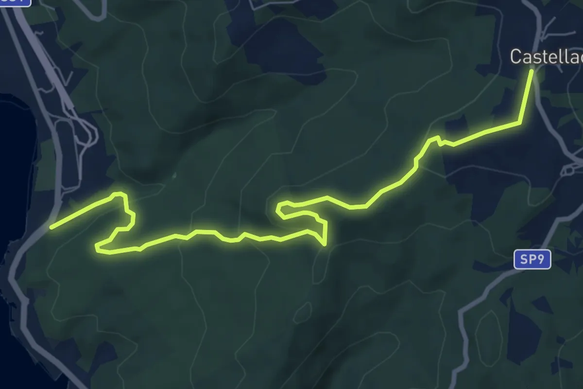
Medium · Trail
Voltina
8.4 km · ↑ 312 m · 2 h 39 min · 12 km away
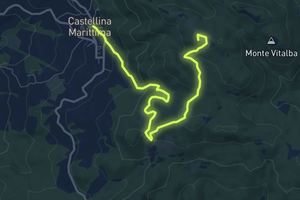
Medium · Summit
Sassi Bianchi Trekking
9.7 km · ↑ 410 m · 3 h 11 min · 12 km away
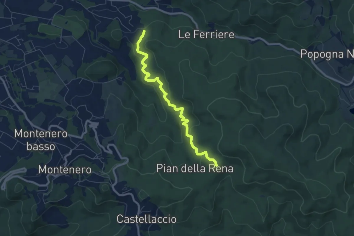
Easy · Trail
Sperticaia
6.8 km · ↑ 301 m · 2 h 15 min · 12 km away
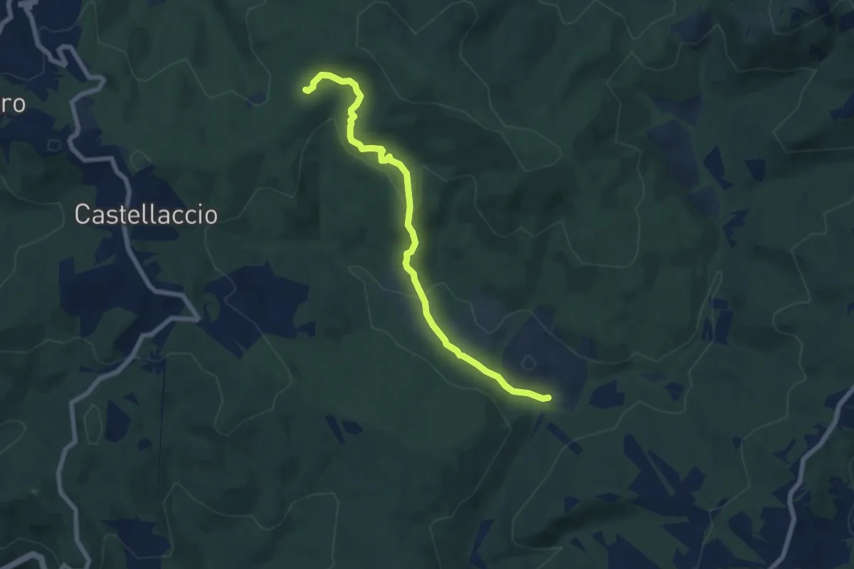
Easy · Trail
Sent. 140 (Pian della Rena) – Podere del Gorgo
7.0 km · ↑ 214 m · 2 h 6 min · 12 km away
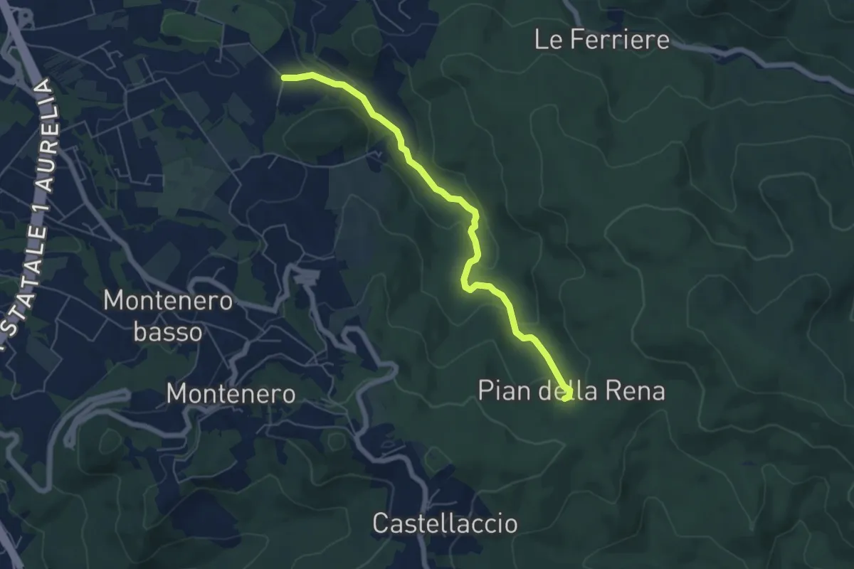
Easy · Trail
Via di Monterotondo – Pian della Rena
6.0 km · ↑ 155 m · 1 h 45 min · 12 km away
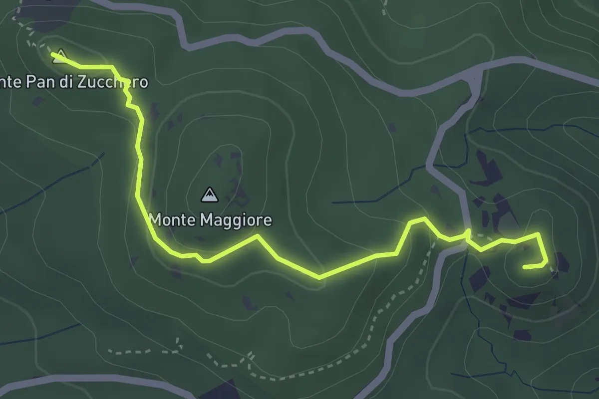
Medium · Summit
Cava della Focerella – Poggio alle Fate
4.1 km · ↑ 139 m · 1 h 17 min · 12 km away
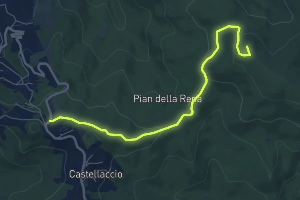
Easy · Summit
Castellaccio – Palazzine
6.6 km · ↑ 164 m · 1 h 55 min · 12 km away
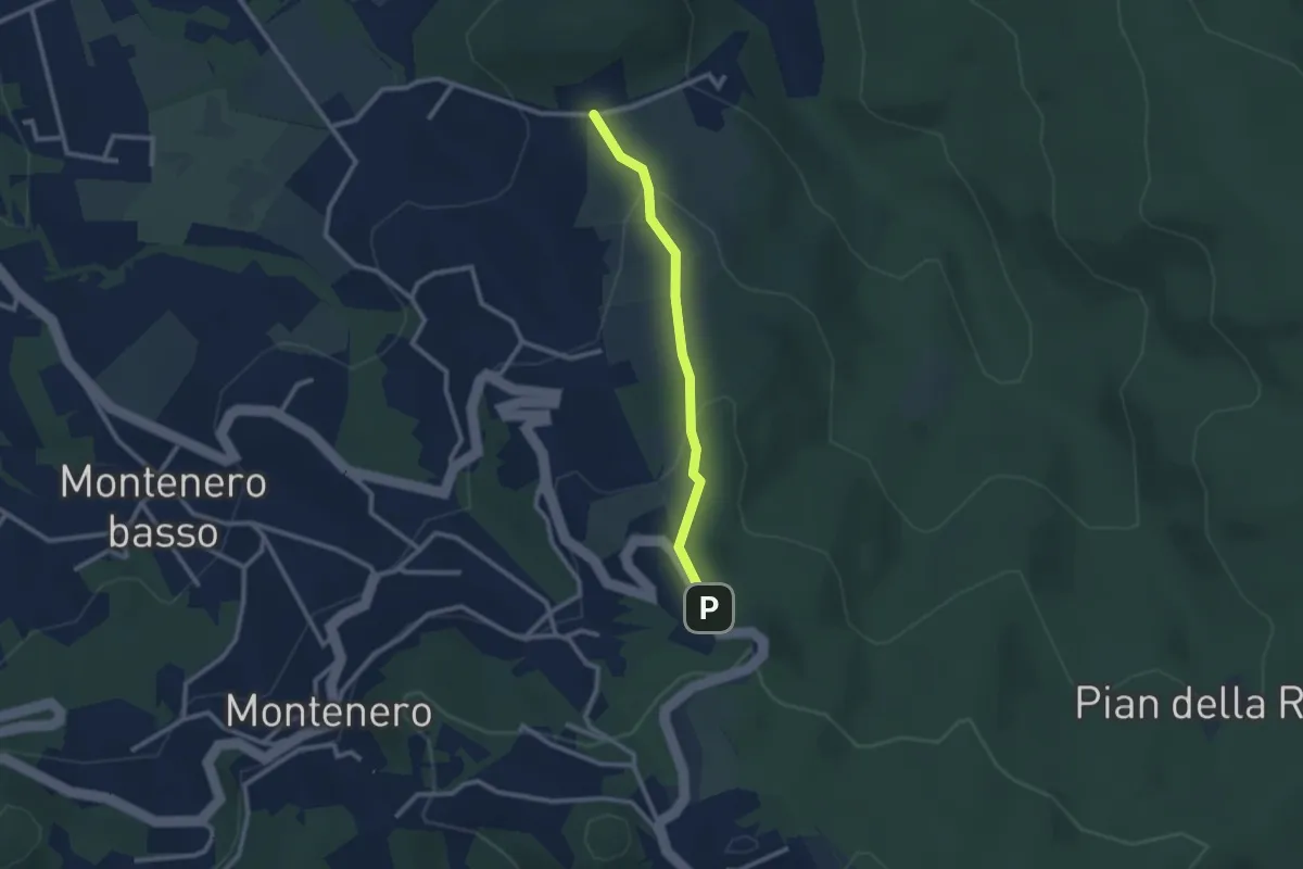
Easy · Trail
Via de L'Ongrilli – Via della Porcigliana
2.4 km · ↑ 112 m · 48 min · 13 km away
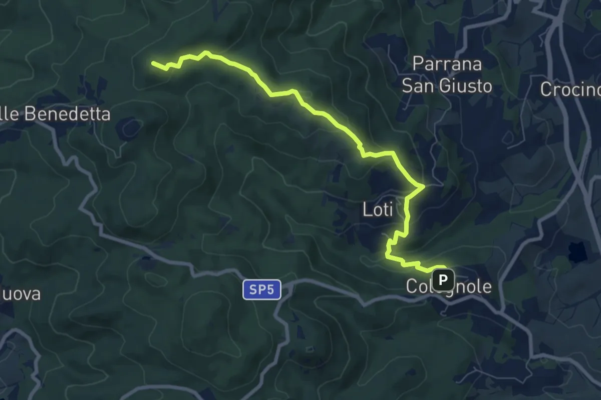
Medium · Summit
Sentiero del Calvario
8.3 km · ↑ 365 m · 2 h 45 min · 13 km away
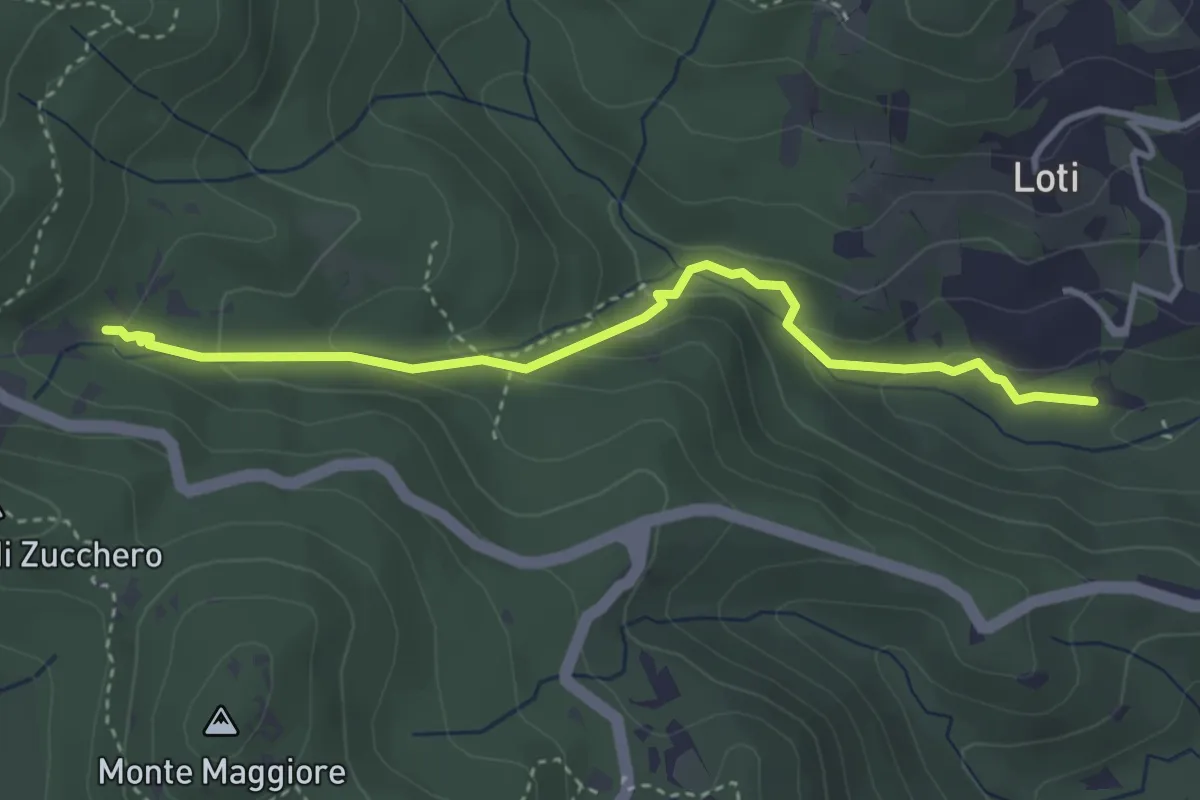
Medium · Trail
Sent. 121 – Sorgente la Terrazza dell'Acquedotto di Colognole
3.8 km · ↑ 182 m · 1 h 18 min · 13 km away
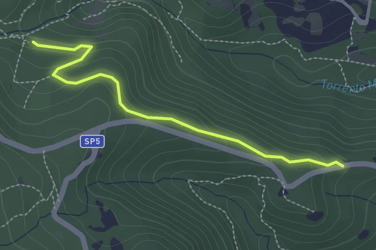
Easy · Trail
Via della Valle Benedetta (Croce) – Acquedotto Leopoldino
2.6 km · ↑ 135 m · 55 min · 13 km away
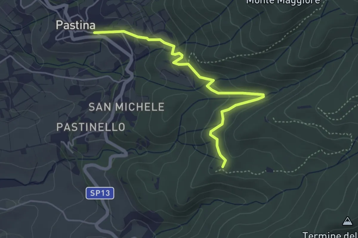
Medium · Trail
Pastina – Le Pescine
4.7 km · ↑ 202 m · 1 h 33 min · 13 km away
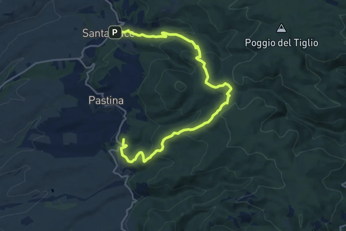
Medium · Summit
Santa Luce – Lago di Santa Luce
14.2 km · ↑ 652 m · 4 h 46 min · 14 km away
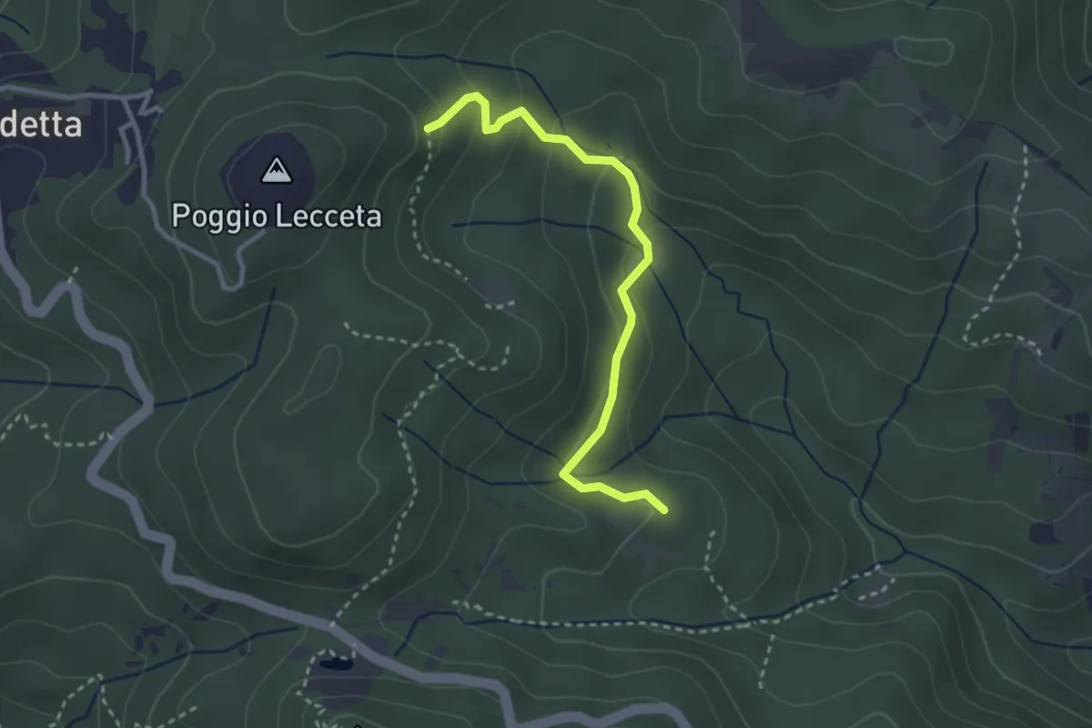
Easy · Trail
Le Vallore
3.1 km · ↑ 165 m · 1 h 5 min · 14 km away
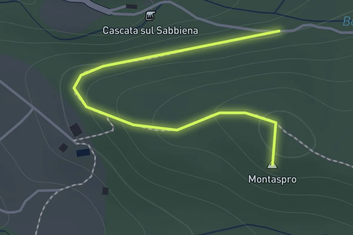
Demanding · Summit
Case Montaspro – Podere delle Capanne
1.4 km · ↑ 83 m · 31 min · 14 km away
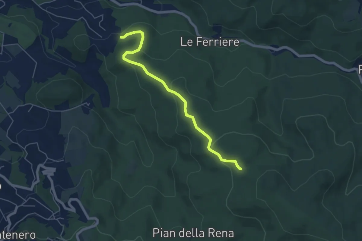
Easy · Trail
Podere del Puntone – Sentiero 140
5.1 km · ↑ 180 m · 1 h 36 min · 14 km away
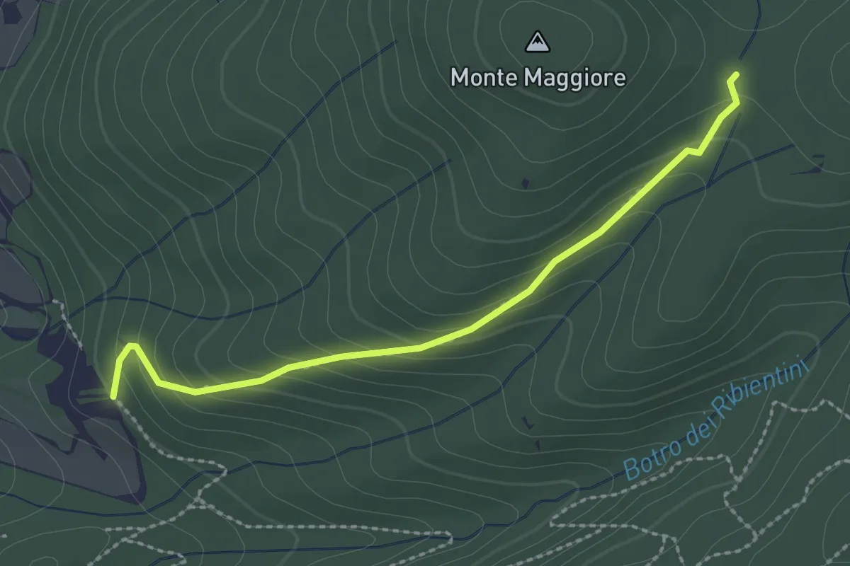
Medium · Trail
Le Mandrie – Innesto A12
2.5 km · ↑ 165 m · 57 min · 14 km away
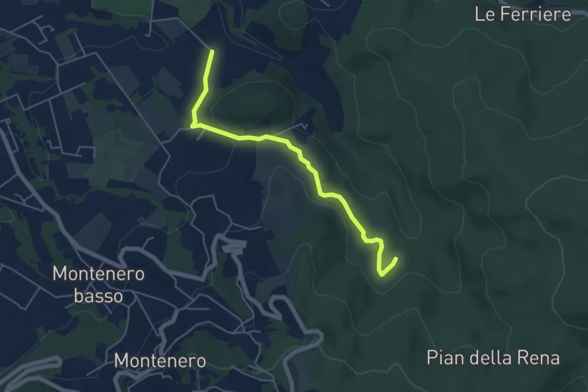
Easy · Trail
Via di Monterotondo – Le Matite (sent. 136)
4.6 km · ↑ 129 m · 1 h 22 min · 14 km away
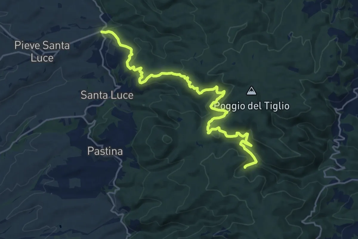
Demanding · Trail
Il Crocino – Botro delle Prunicce
18.5 km · ↑ 771 m · 6 h 3 min · 14 km away
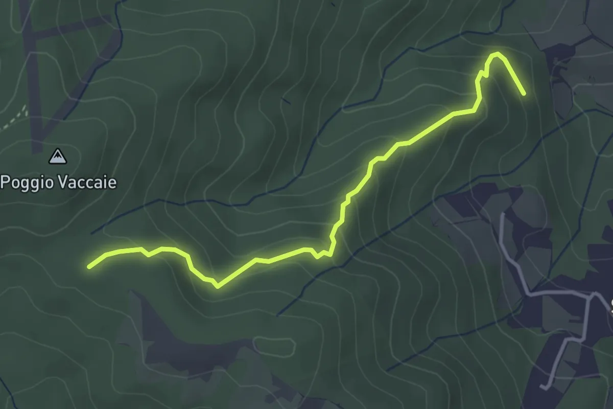
Easy · Trail
Ponti Grandi (sent. 115) – Calvario
3.7 km · ↑ 252 m · 1 h 25 min · 14 km away
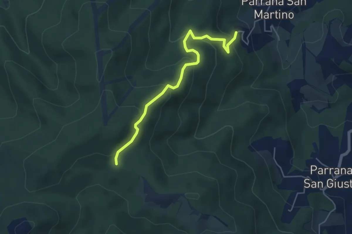
Easy · Trail
Parrana San Martino – Calvario (sent. 121)
4.3 km · ↑ 287 m · 1 h 38 min · 14 km away
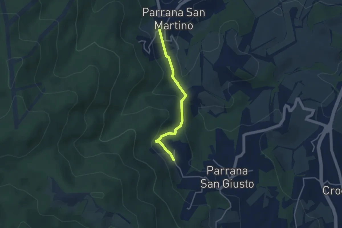
Easy · Trail
Parrana San Martino – Parrana San Giusto
2.9 km · ↑ 122 m · 56 min · 14 km away
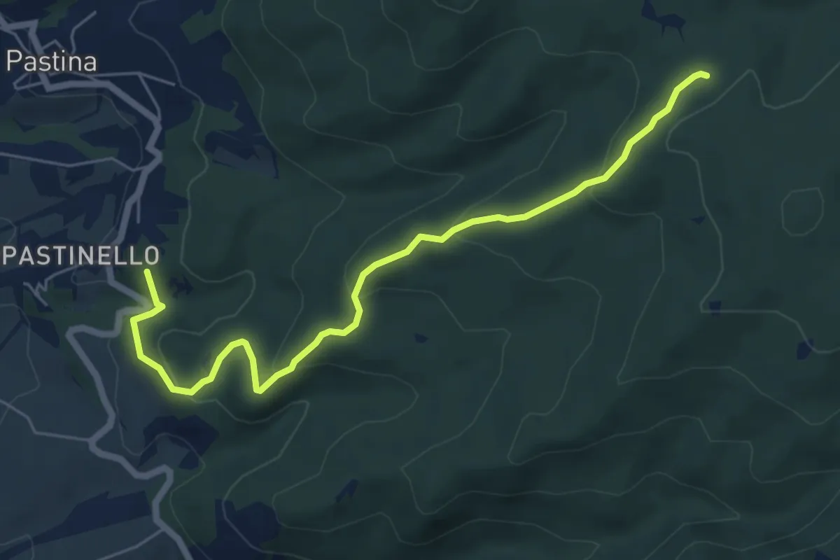
Easy · Summit
Poggio Querciolo – Le Prunicce
6.5 km · ↑ 309 m · 2 h 13 min · 15 km away
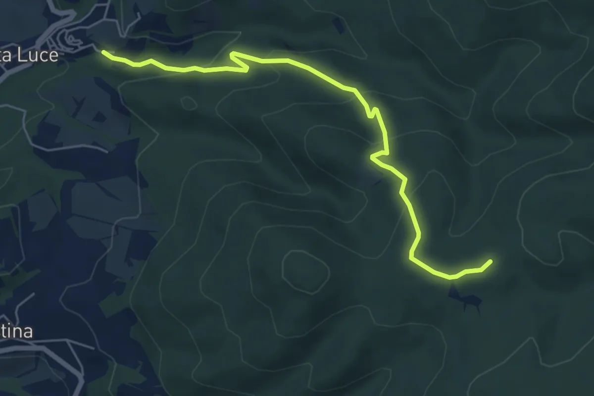
Easy · Trail
Santa Luce – Il Cerrino
5.9 km · ↑ 301 m · 2 h 3 min · 15 km away
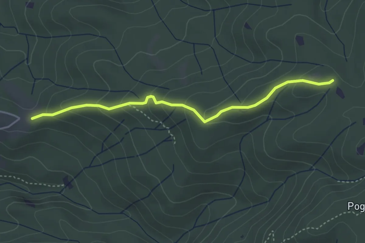
Easy · Trail
Villa Magra – Poggio al Ceraso
3.8 km · ↑ 200 m · 1 h 20 min · 15 km away