Trails near Rovato
71 hikes starting within 15 km, nearest first.
Nearest first, page 2 of 2
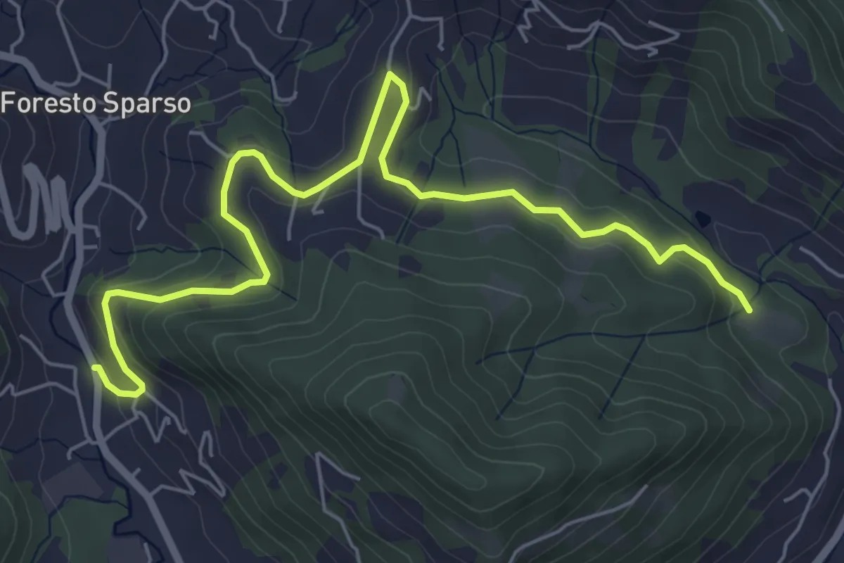
Easy · Trail
L'Immacolata – Dosso dell'Era
7.0 km · ↑ 215 m · 2 h 8 min · 14 km away
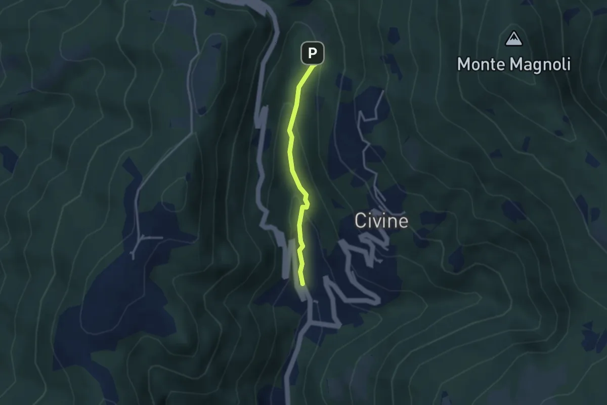
Medium · Trail
Sentiero Battista e Nicolina Drera
2.5 km · ↑ 124 m · 51 min · 14 km away
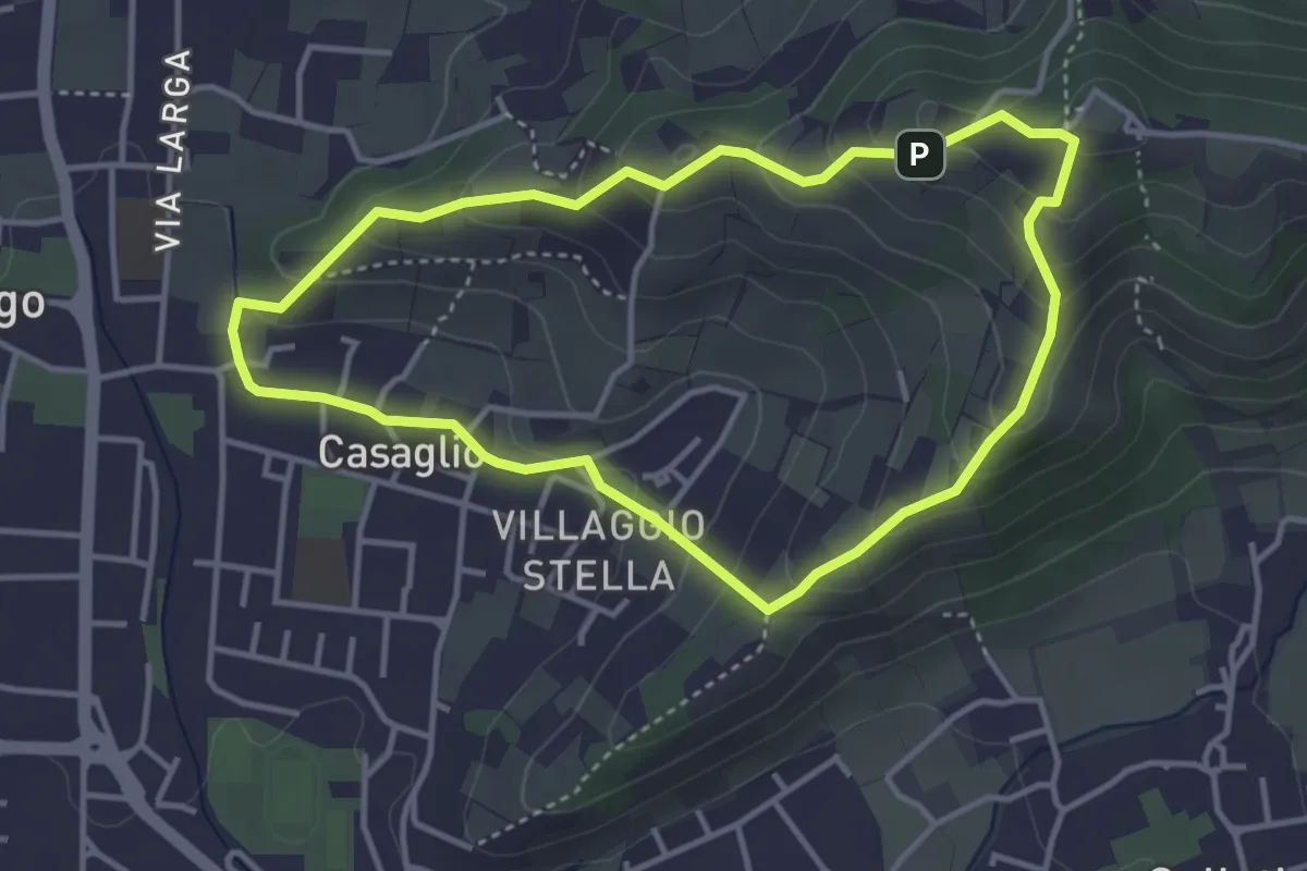
Easy · Trail
Via Crucis - San Rocco - Stella
3.7 km · ↑ 201 m · 1 h 21 min · 14 km away
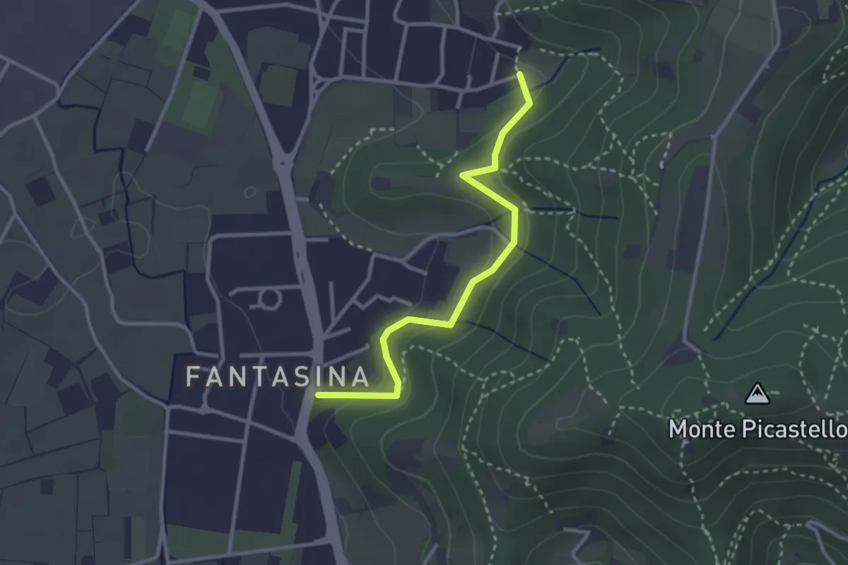
Easy · Trail
Cellatica (Fantasina) – Cellatica (Cantone)
2.9 km · ↑ 101 m · 54 min · 14 km away
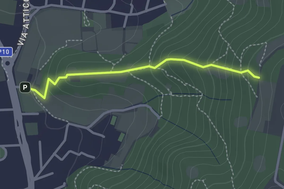
Medium · Trail
Cellatica (Via San Rocco) – Campiani (Innesto Sentiero 219)
2.1 km · ↑ 157 m · 50 min · 14 km away
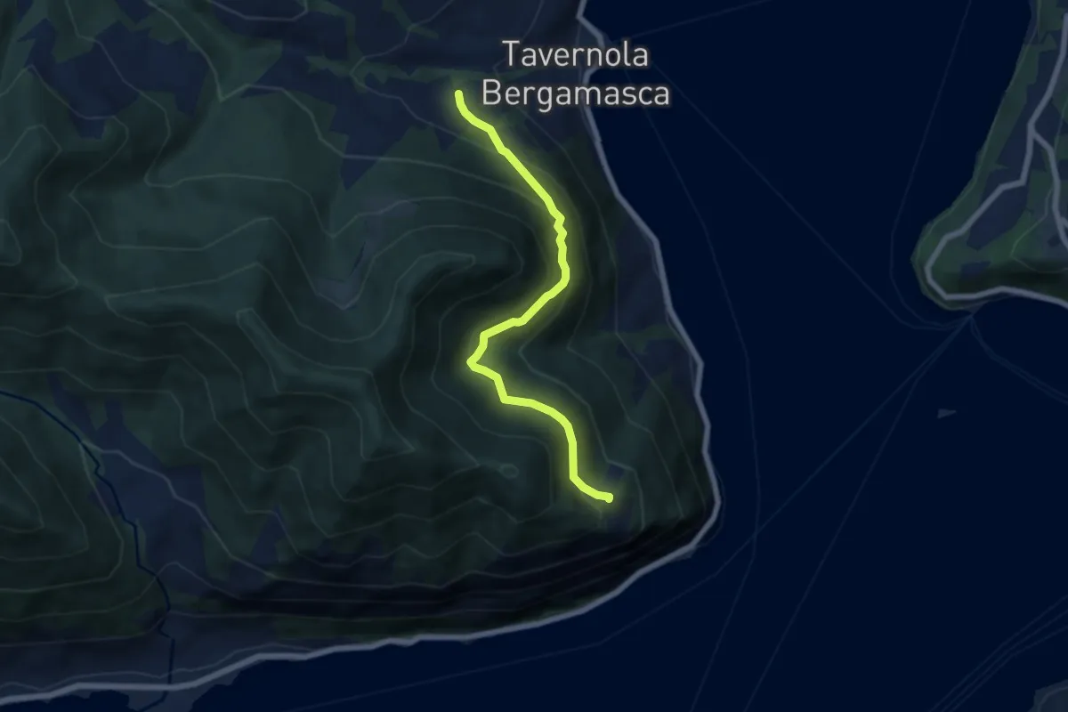
Demanding · Trail
Bianica – Case il Monte
6.1 km · ↑ 457 m · 2 h 26 min · 14 km away
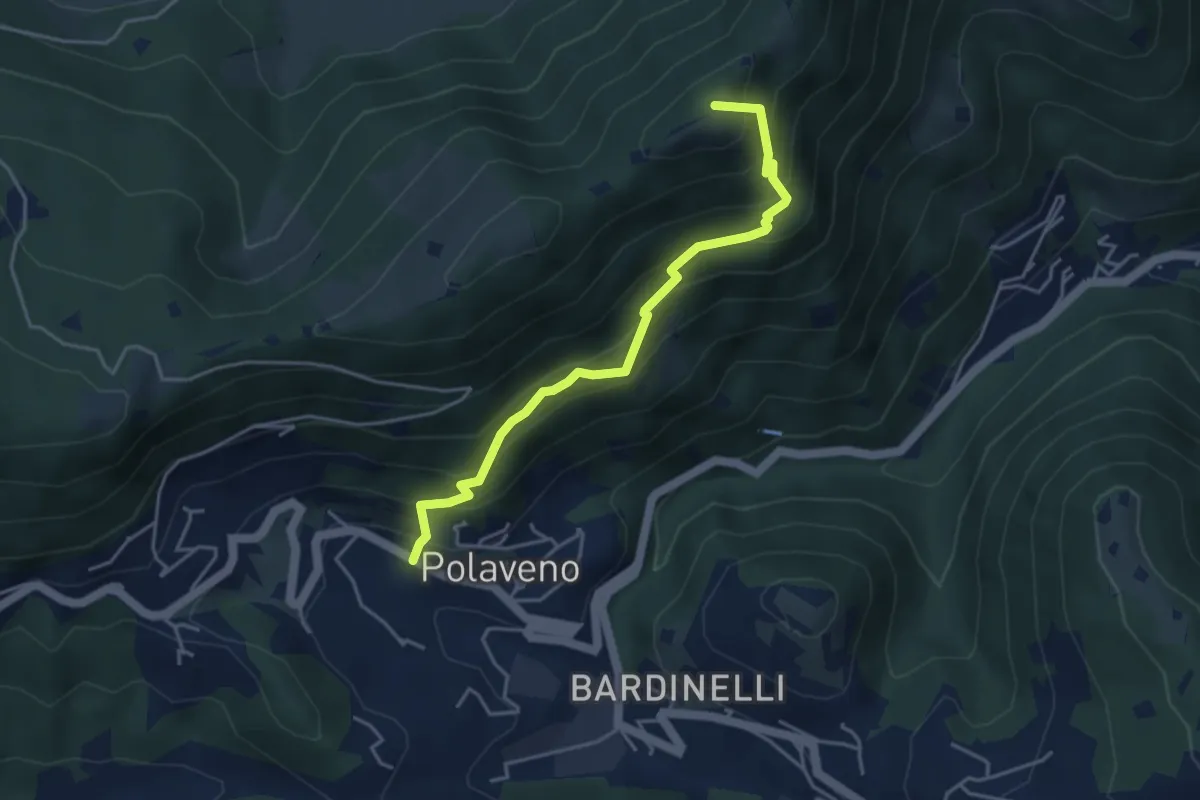
Medium · Summit
Polaveno - Santa Maria del Giogo
4.2 km · ↑ 463 m · 2 h · 14 km away
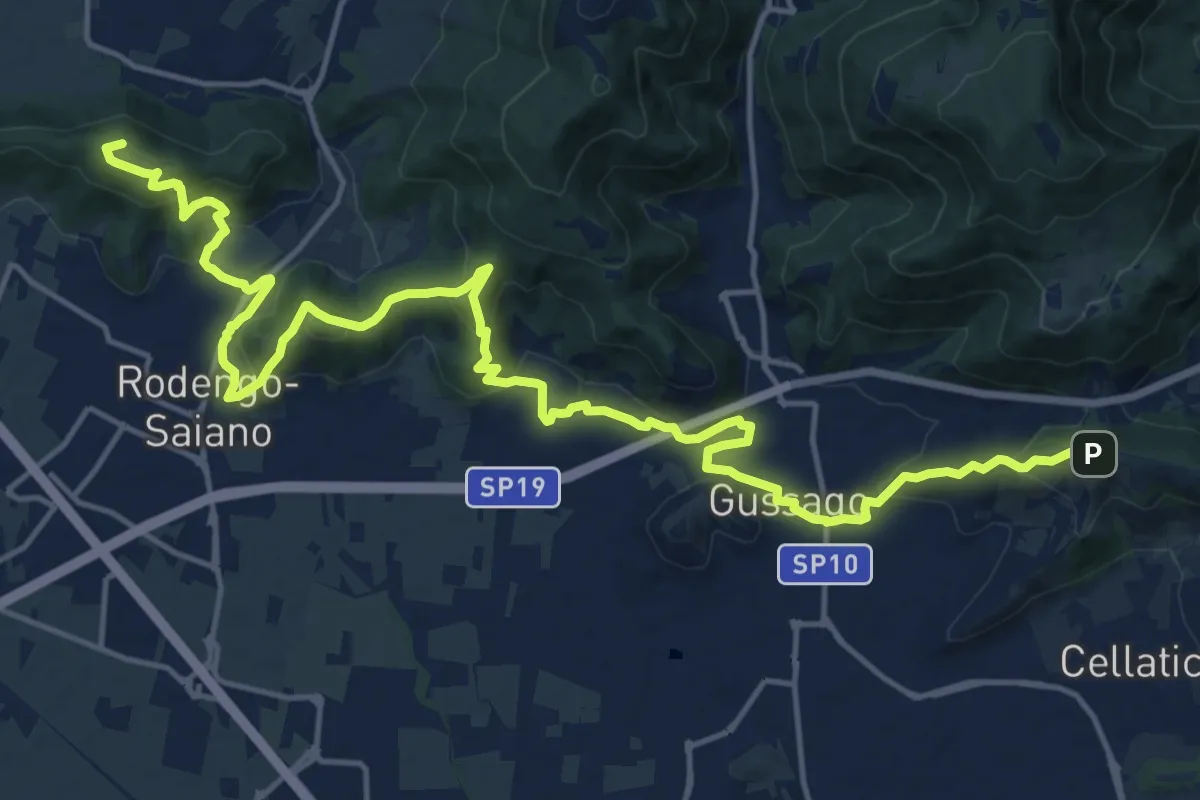
Demanding · Summit
Sentiero della Franciacorta
21.9 km · ↑ 913 m · 7 h 9 min · 14 km away
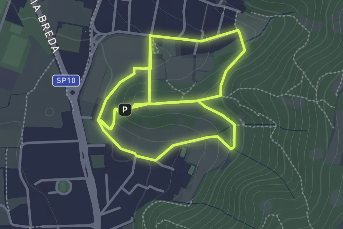
Easy · Trail
Percorso del Colle San Rocco
3.3 km · ↑ 89 m · 1 h 1 min · 14 km away
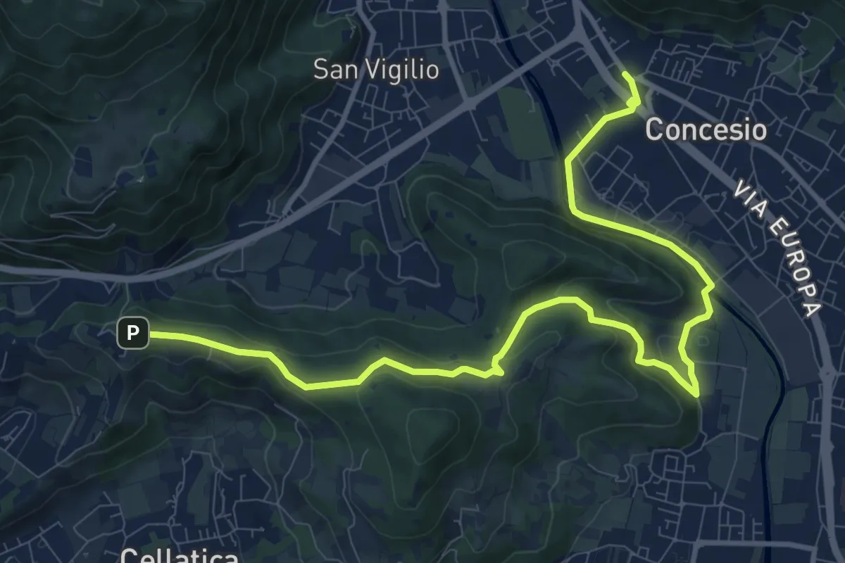
Medium · Trail
Sentiero Pietro Ottaviani
12.8 km · ↑ 333 m · 3 h 44 min · 14 km away
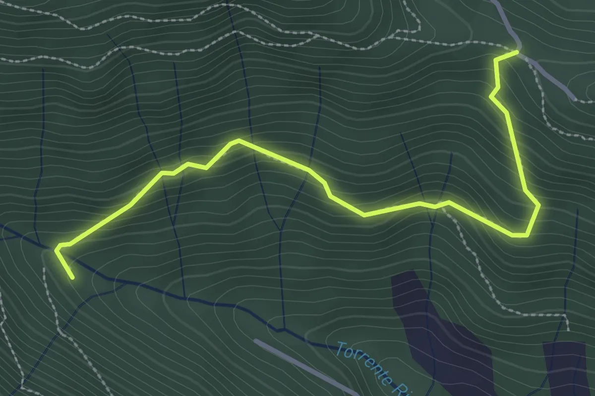
Medium · Trail
Col del Giogo – Incrocio 708
3.2 km · ↑ 264 m · 1 h 19 min · 14 km away
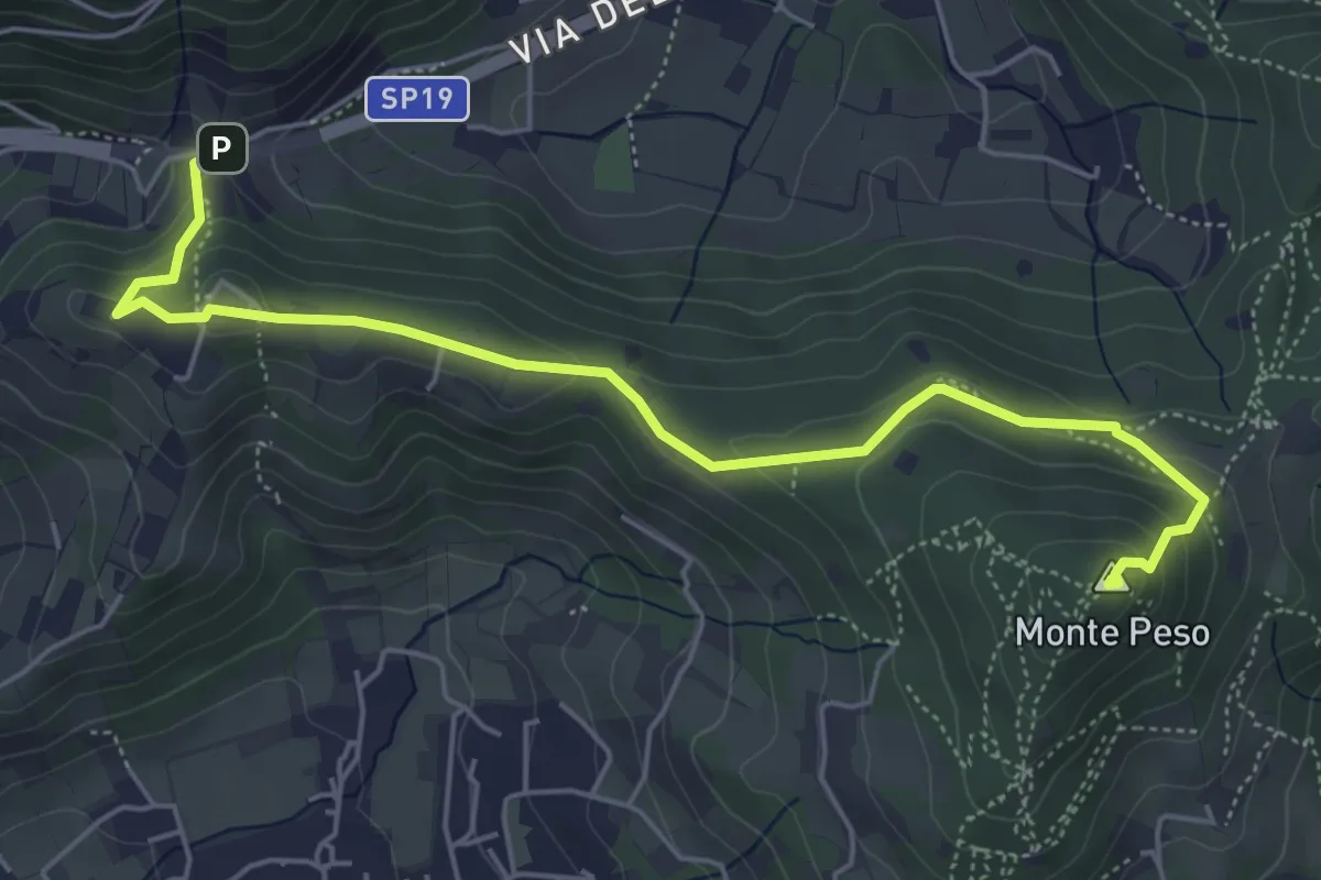
Medium · Summit
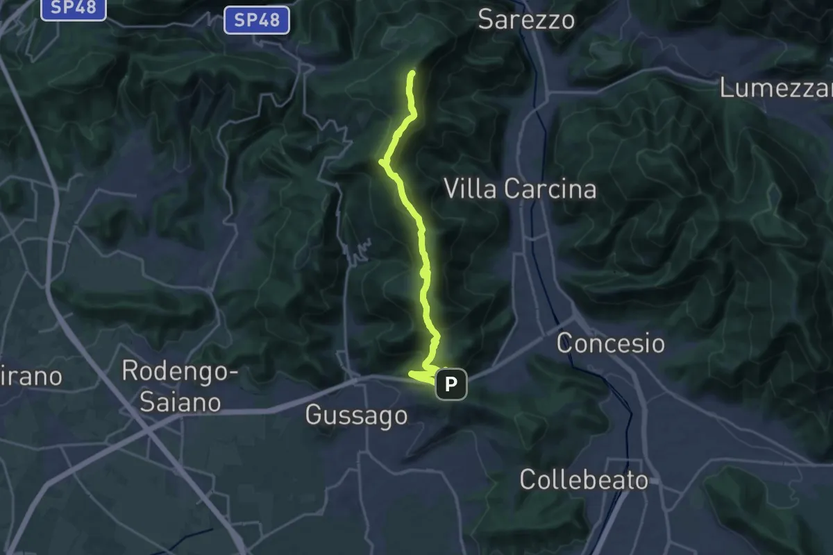
Sentiero 3V - Tappa 8b
6.0 km · ↑ 266 m · 1 h 59 min · 14 km away
Demanding · Summit
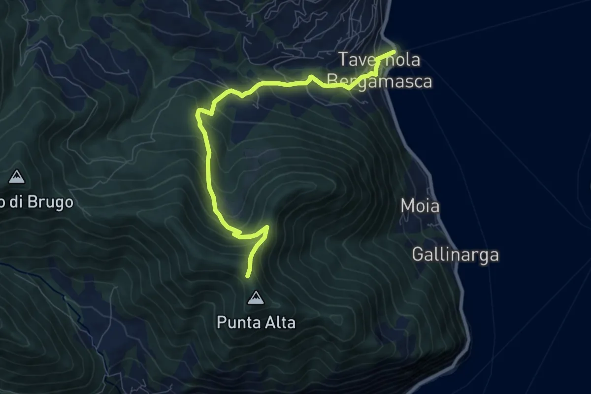
Sentiero 3V - Tappa 8a
18.2 km · ↑ 1158 m · 6 h 48 min · 14 km away
Medium · Trail
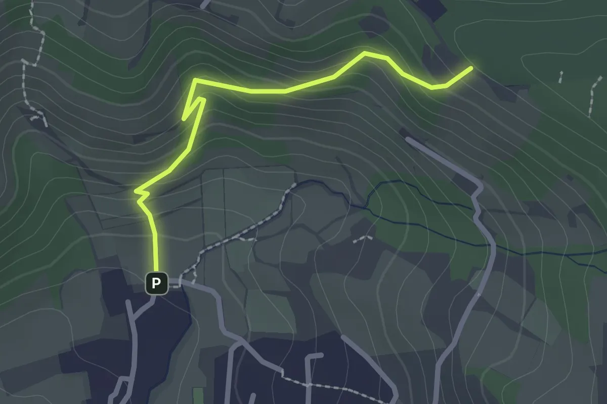
Tavernola Bergamasca – Punta Alta
7.9 km · ↑ 732 m · 3 h 28 min · 14 km away
Easy · Trail
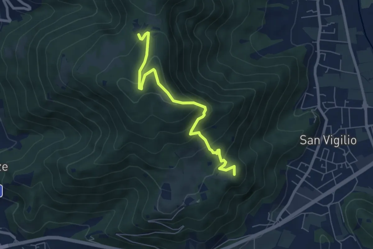
Cellatica (Palas) – Cascina Monte Grande (Innesto Sentiero 3V)
2.1 km · ↑ 186 m · 55 min · 14 km away
Medium · Summit
Concesio (San Vigilio) – Quarone di Sopra
5.8 km · ↑ 392 m · 2 h 13 min · 14 km away
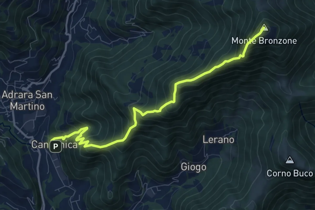
Demanding · Summit
Canzanica (Adrara San Martino) – Monte Bronzone
9.7 km · ↑ 1041 m · 4 h 33 min · 15 km away
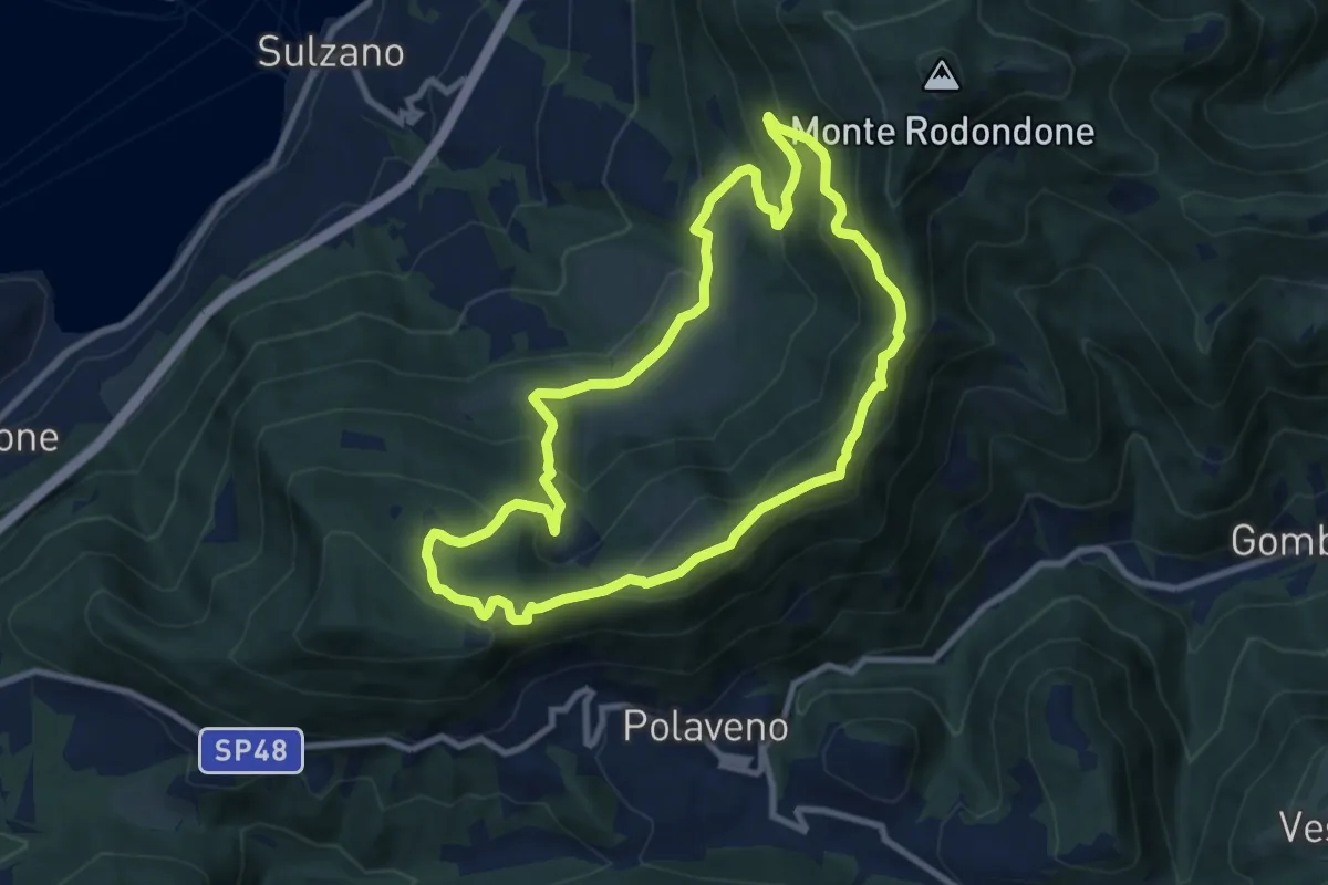
Medium · Summit
Sentiero degli Elfi
8.9 km · ↑ 450 m · 3 h 12 min · 15 km away
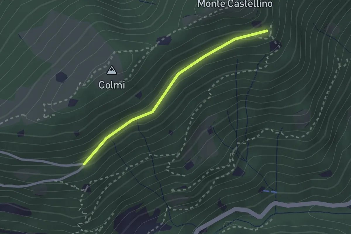
Easy · Trail
Sentiero 310 - Variante 310A
2.0 km · ↑ 104 m · 42 min · 15 km away
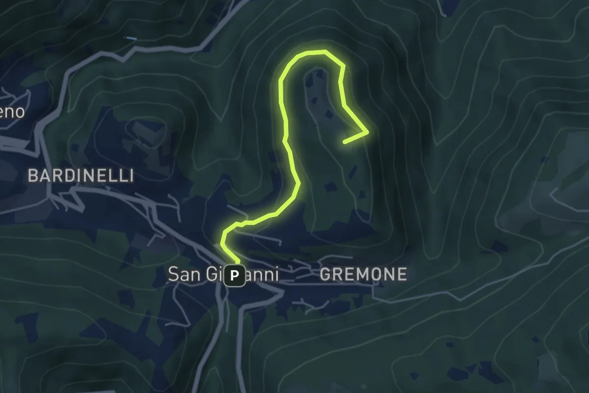
Demanding · Summit
Sentiero della Pugna
4.4 km · ↑ 219 m · 1 h 30 min · 15 km away
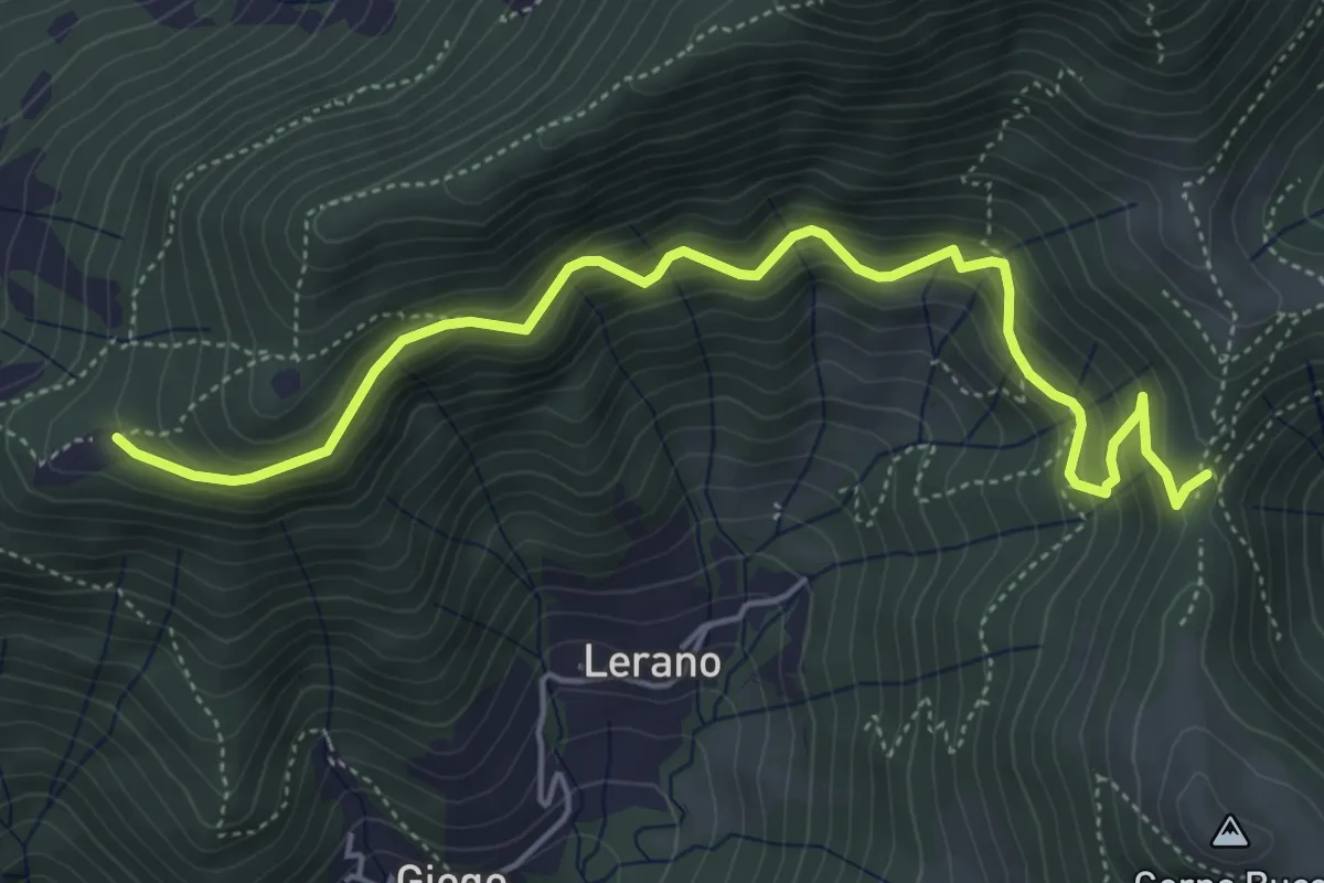
Medium · Trail
Incrocio 719 – Colle di Oregia
5.6 km · ↑ 536 m · 2 h 29 min · 15 km away
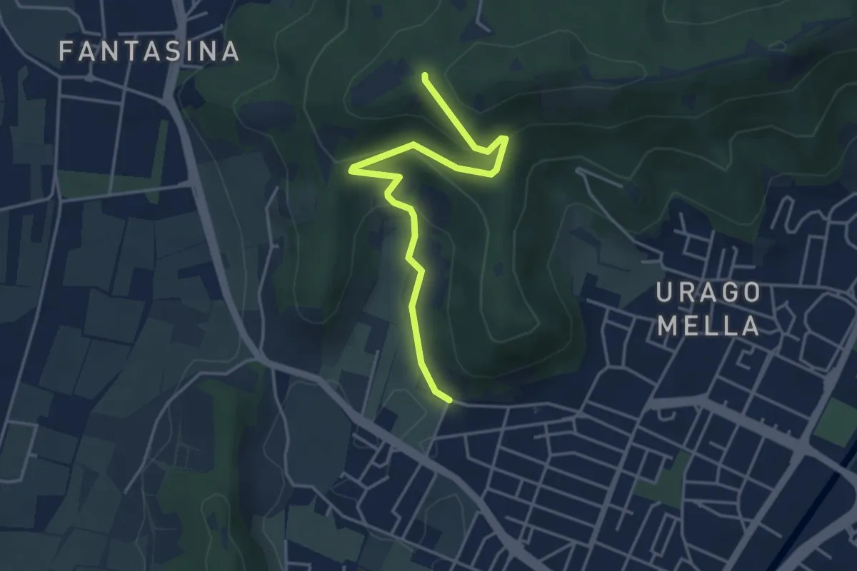
Easy · Trail
Brescia (Via Valle Bresciana) – Passo delle Crosette (Innesto Sentiero 3V)
4.0 km · ↑ 204 m · 1 h 24 min · 15 km away
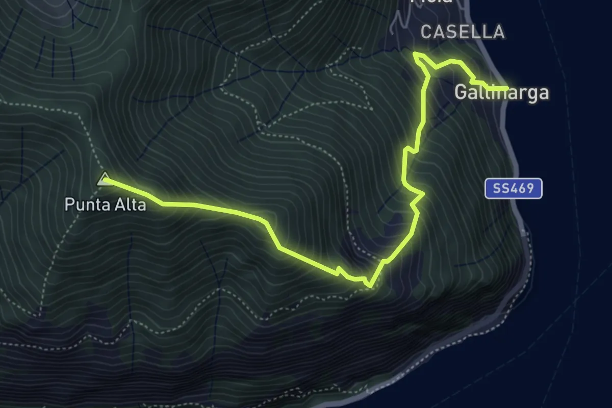
Demanding · Summit
Gallinarga – Colle del Giogo
5.9 km · ↑ 744 m · 3 h · 15 km away