Trails near Sacile
42 hikes starting within 15 km, nearest first.
Nearest first
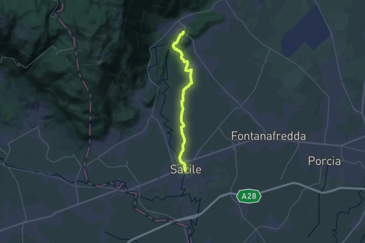
Demanding · Trail
Il Cammino di Sant'Antonio - Tappa 05G
21.3 km · ↑ 95 m · 5 h 13 min · under 1 km away
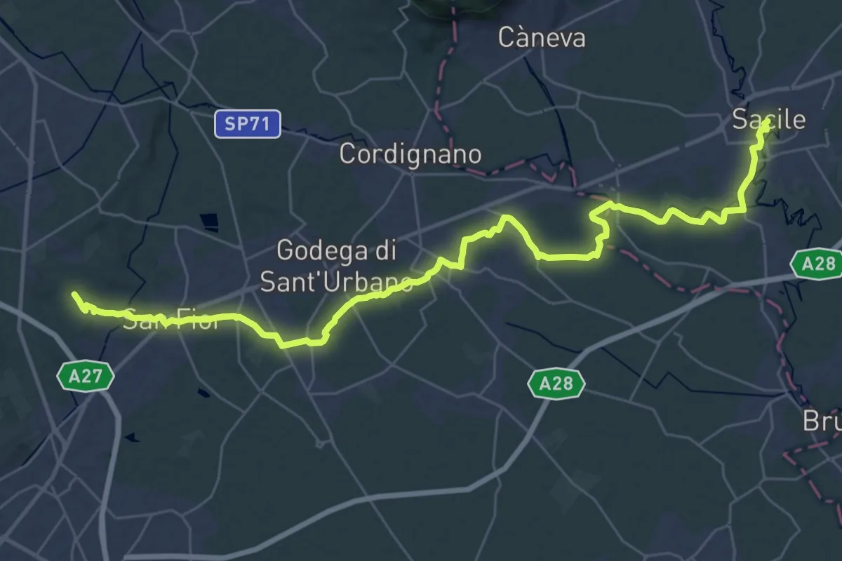
Demanding · Trail
Il Cammino di Sant'Antonio - Tappa 06G2
19.1 km · ↑ 99 m · 4 h 57 min · under 1 km away
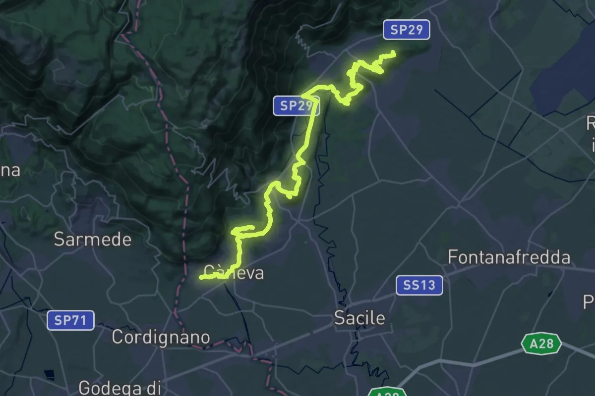
Demanding · Summit
Cammino di San Cristoforo - Tappa 1
42.8 km · ↑ 1171 m · 12 h 39 min · 6 km away
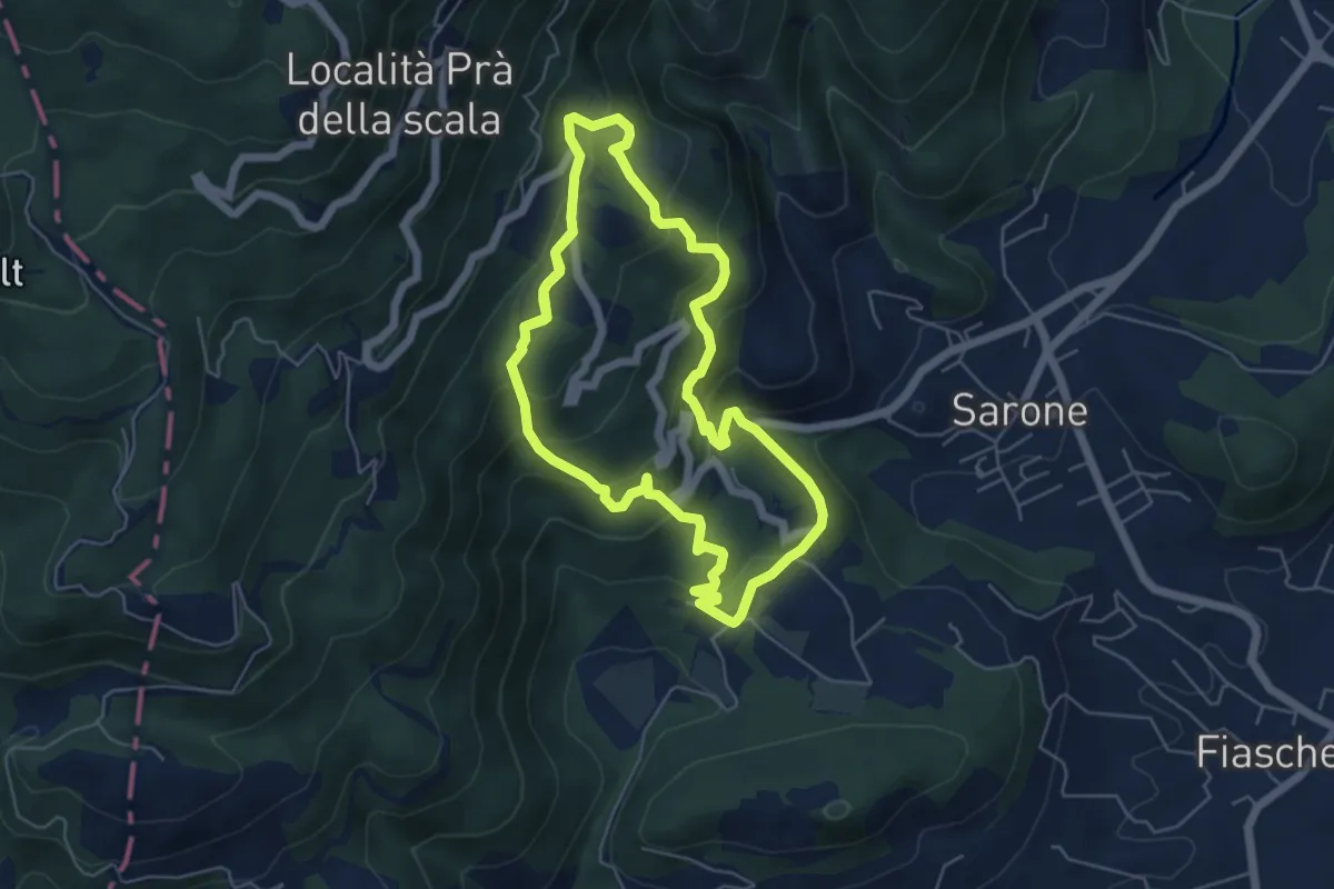
Medium · Trail
Sentiero degli alpini di Caneva
11.2 km · ↑ 668 m · 4 h 5 min · 7 km away
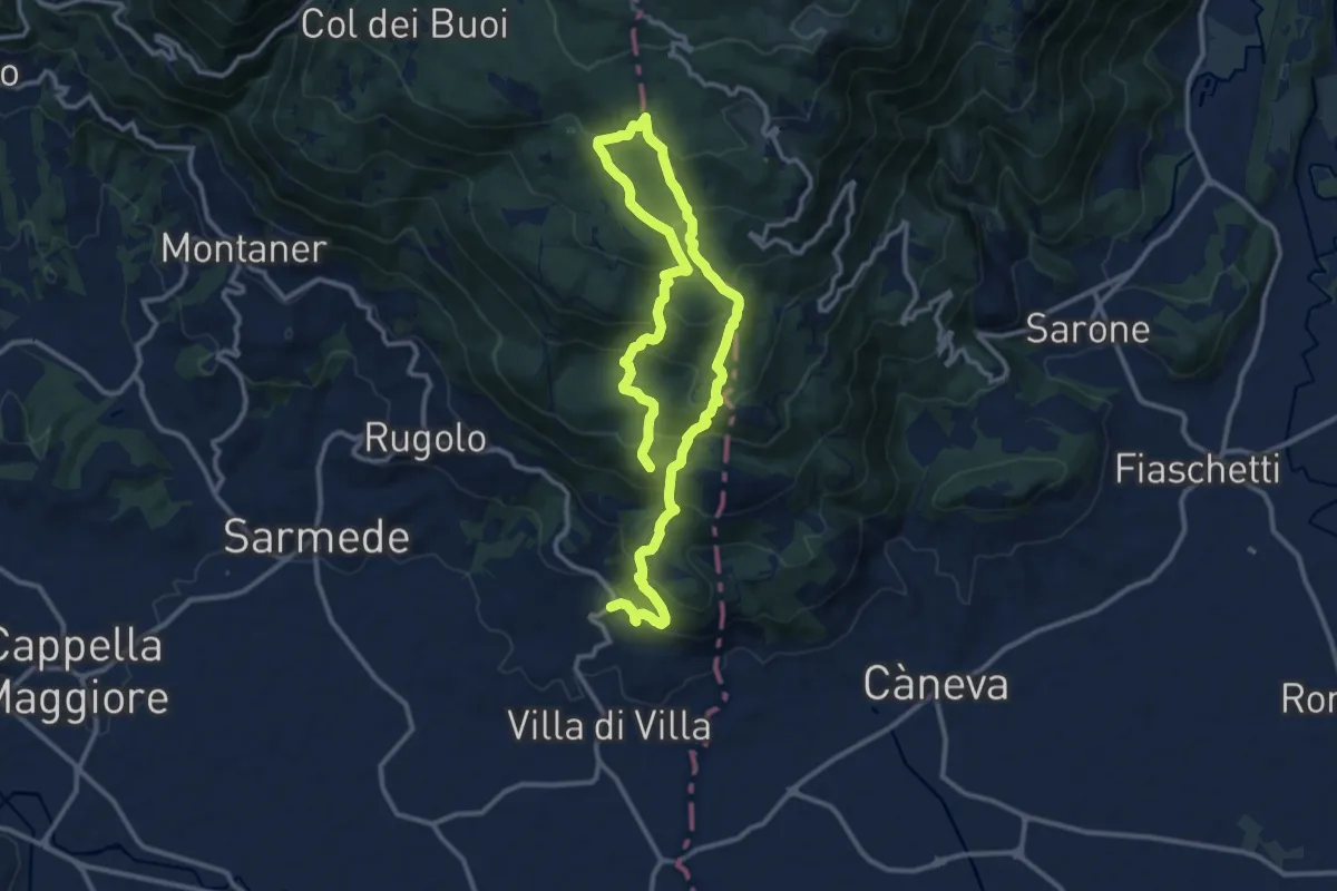
Demanding · Summit
Strada del Patriarca
18.4 km · ↑ 1210 m · 6 h 58 min · 7 km away
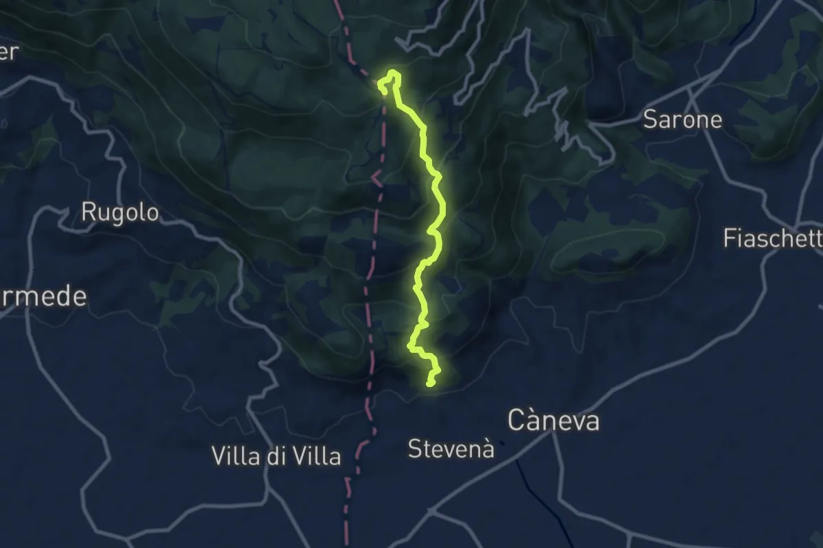
Medium · Trail
Sentiero della Madonna dei Scalin
7.9 km · ↑ 576 m · 3 h 6 min · 7 km away
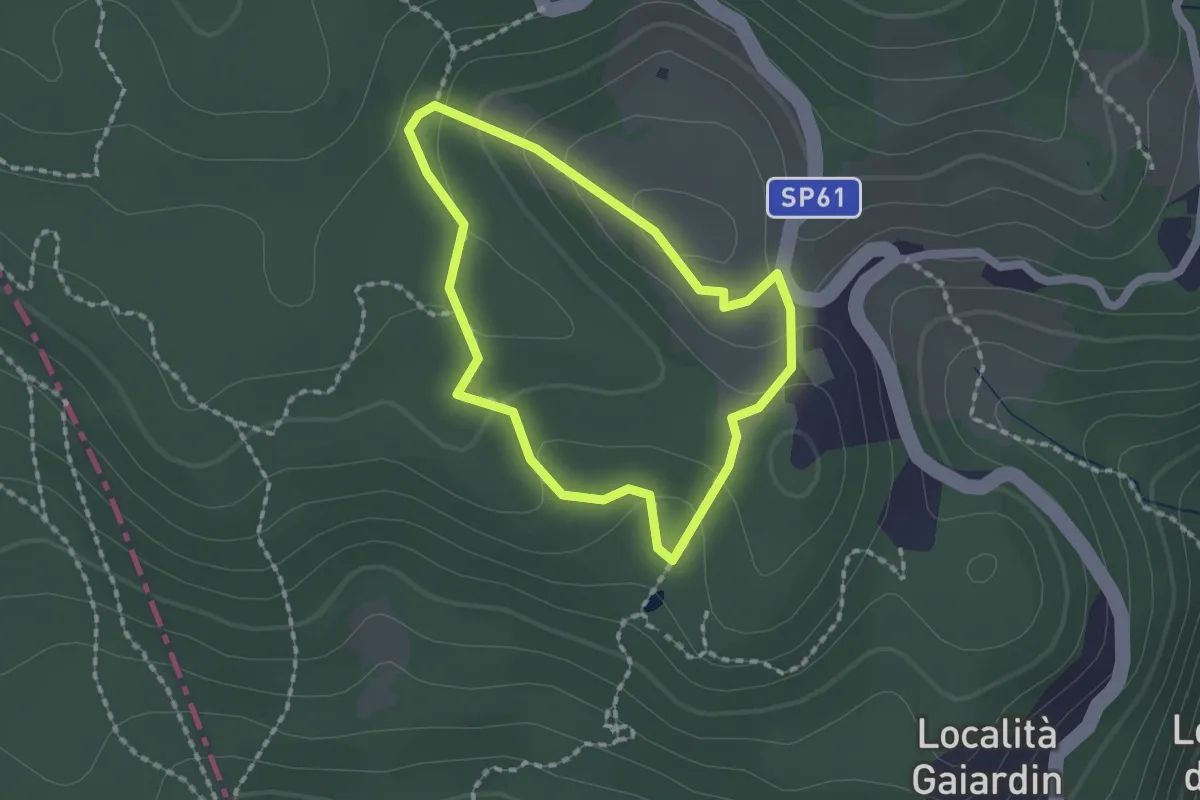
Easy · Trail
Itinerario 4 - Acqua preziosa
1.5 km · ↑ 53 m · 30 min · 8 km away
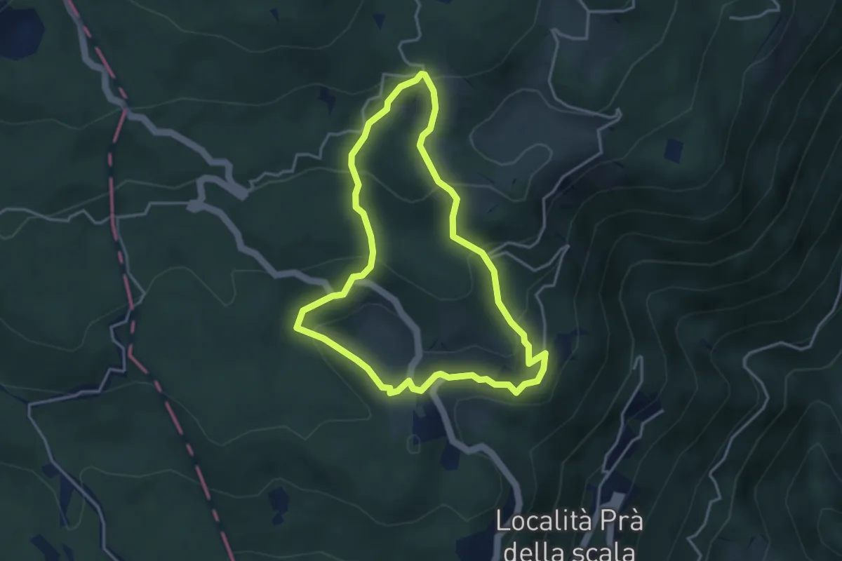
Medium · Trail
Itinerario 5 - Seguendo pascoli e masiere
3.4 km · ↑ 186 m · 1 h 16 min · 9 km away
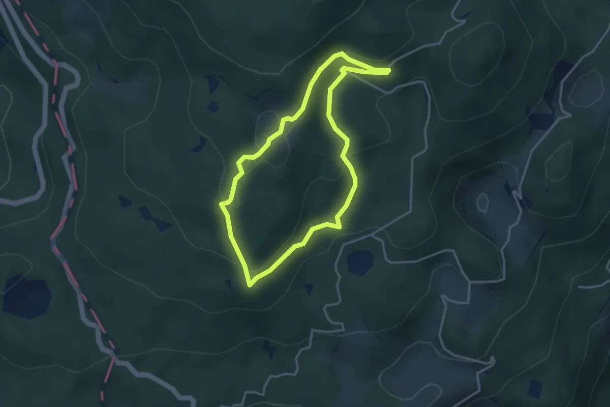
Medium · Trail
Itinerario 1 - Uno sguardo dall'alto
3.0 km · ↑ 129 m · 1 h 2 min · 10 km away
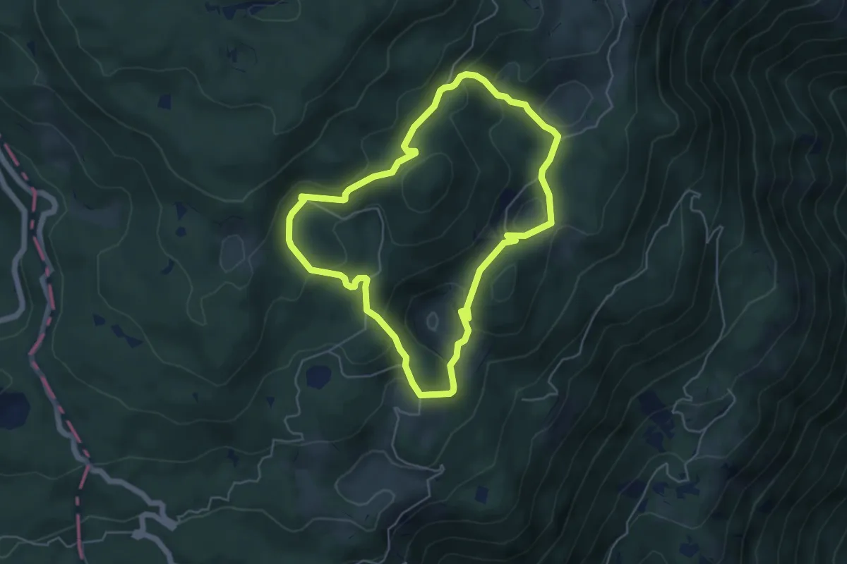
Medium · Summit
Itinerario 2 - Attorno al Col Major
4.9 km · ↑ 210 m · 1 h 40 min · 10 km away
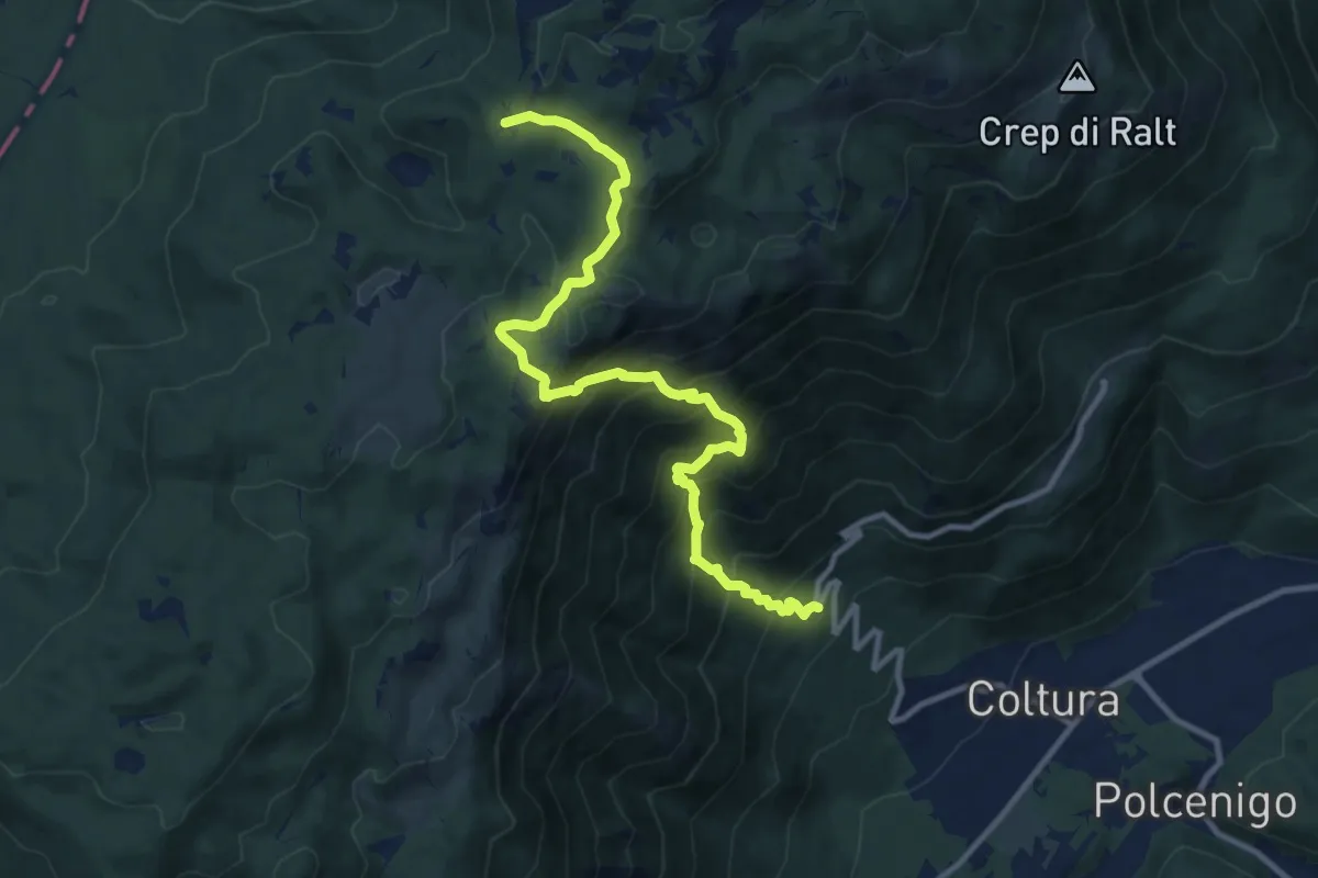
Demanding · Cabin
Ristorante da Stale (quota 342 m) – Casera Ceresera (quota 1347 m)
11.8 km · ↑ 1106 m · 5 h 11 min · 10 km away
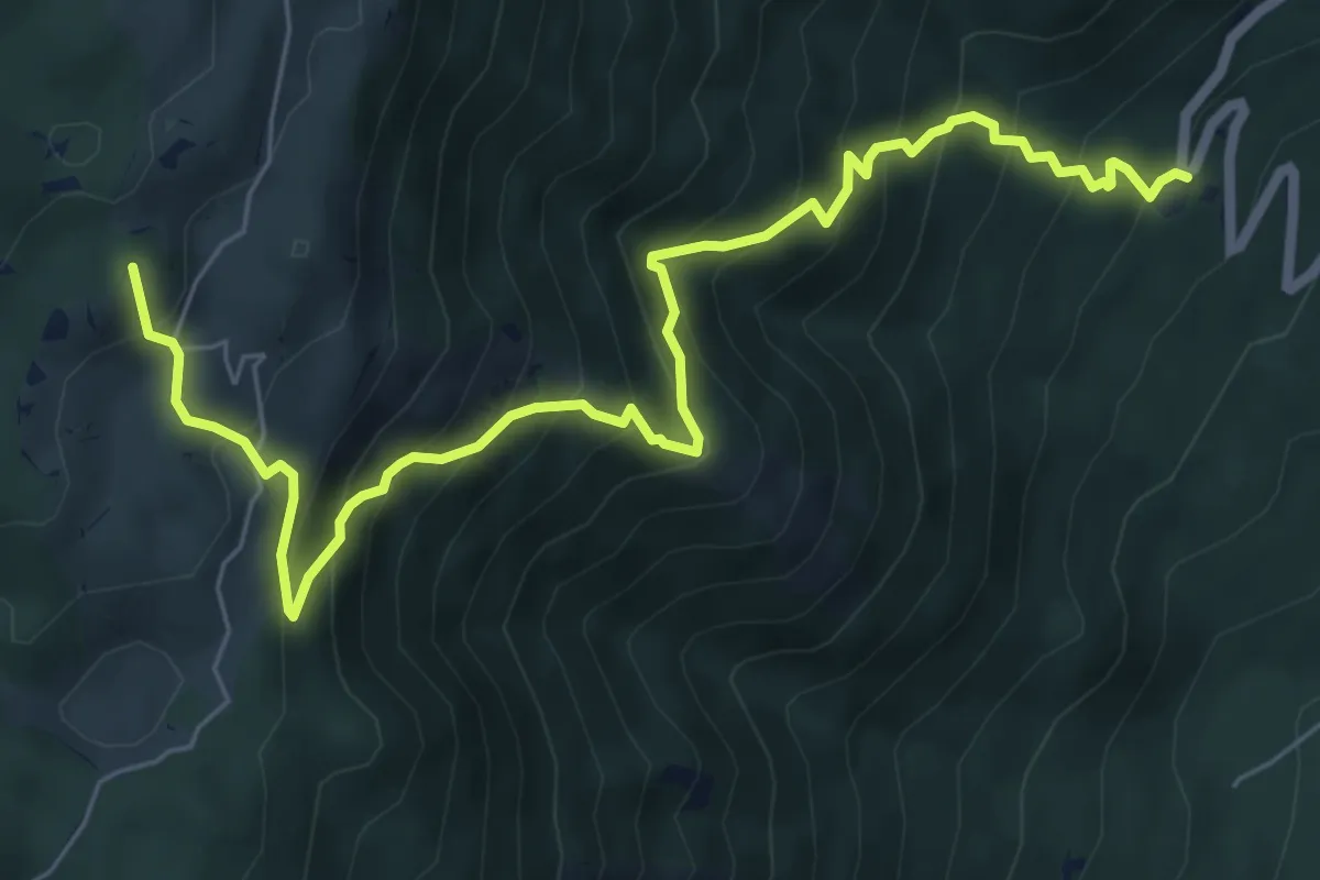
Demanding · Summit
Ristorante da Stae – Bivio sentiero n. 991
8.0 km · ↑ 872 m · 3 h 47 min · 10 km away
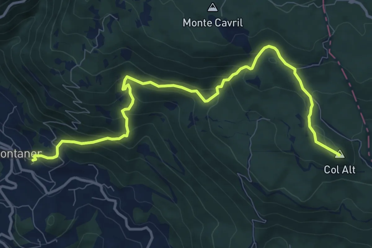
Medium · Summit
Sentiero Pagnoca
10.2 km · ↑ 694 m · 3 h 55 min · 11 km away
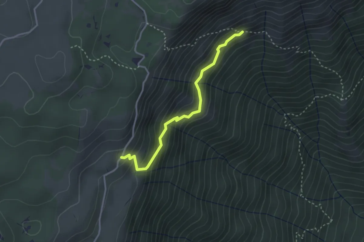
Easy · Trail
Sentiero della Risena
2.8 km · ↑ 275 m · 1 h 16 min · 11 km away
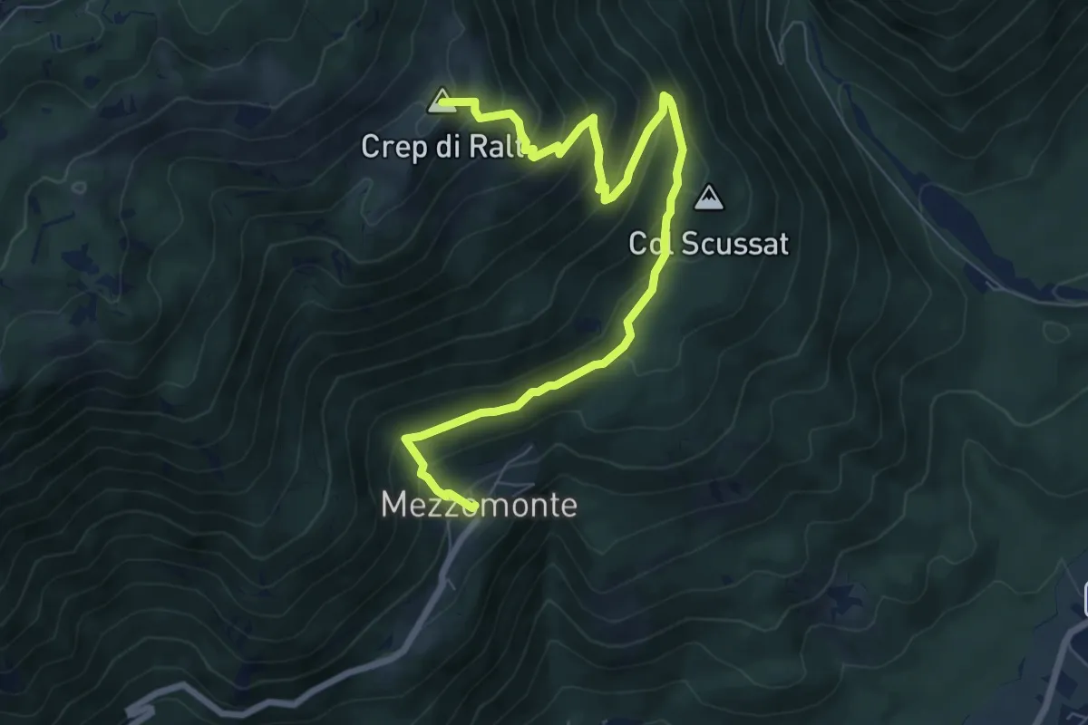
Medium · Summit
Mezzomonte (quota 502 m) – Bivio sentiero n. 993 (quota 1687 m)
8.6 km · ↑ 637 m · 3 h 25 min · 11 km away
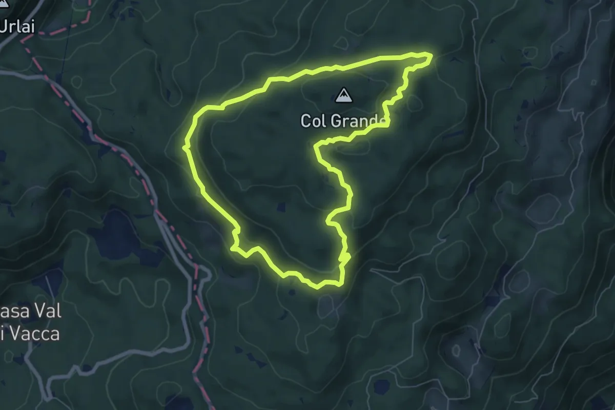
Medium · Summit
Itinerario 3 - Ai confini della Serenissima
6.7 km · ↑ 246 m · 2 h 12 min · 11 km away
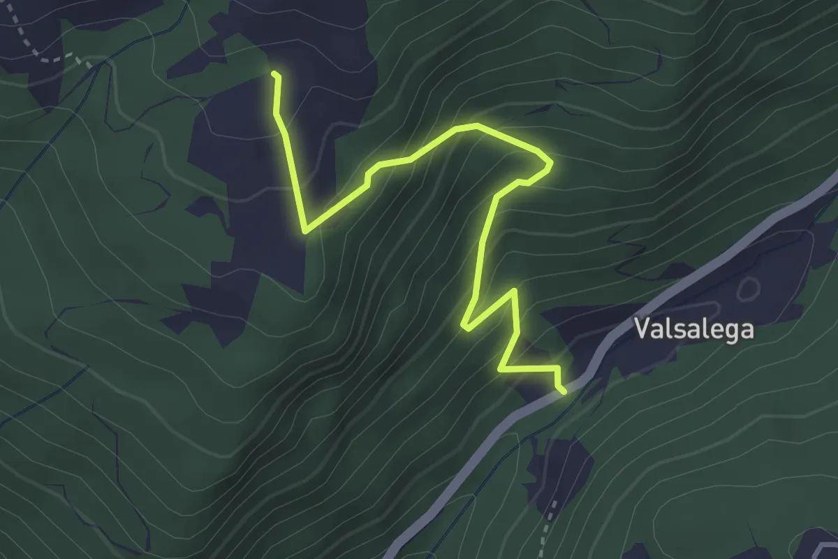
Medium · Trail
Valsalega - da S.P. 422 – Pian della Loc - inn. sent. 982
3.5 km · ↑ 337 m · 1 h 33 min · 11 km away
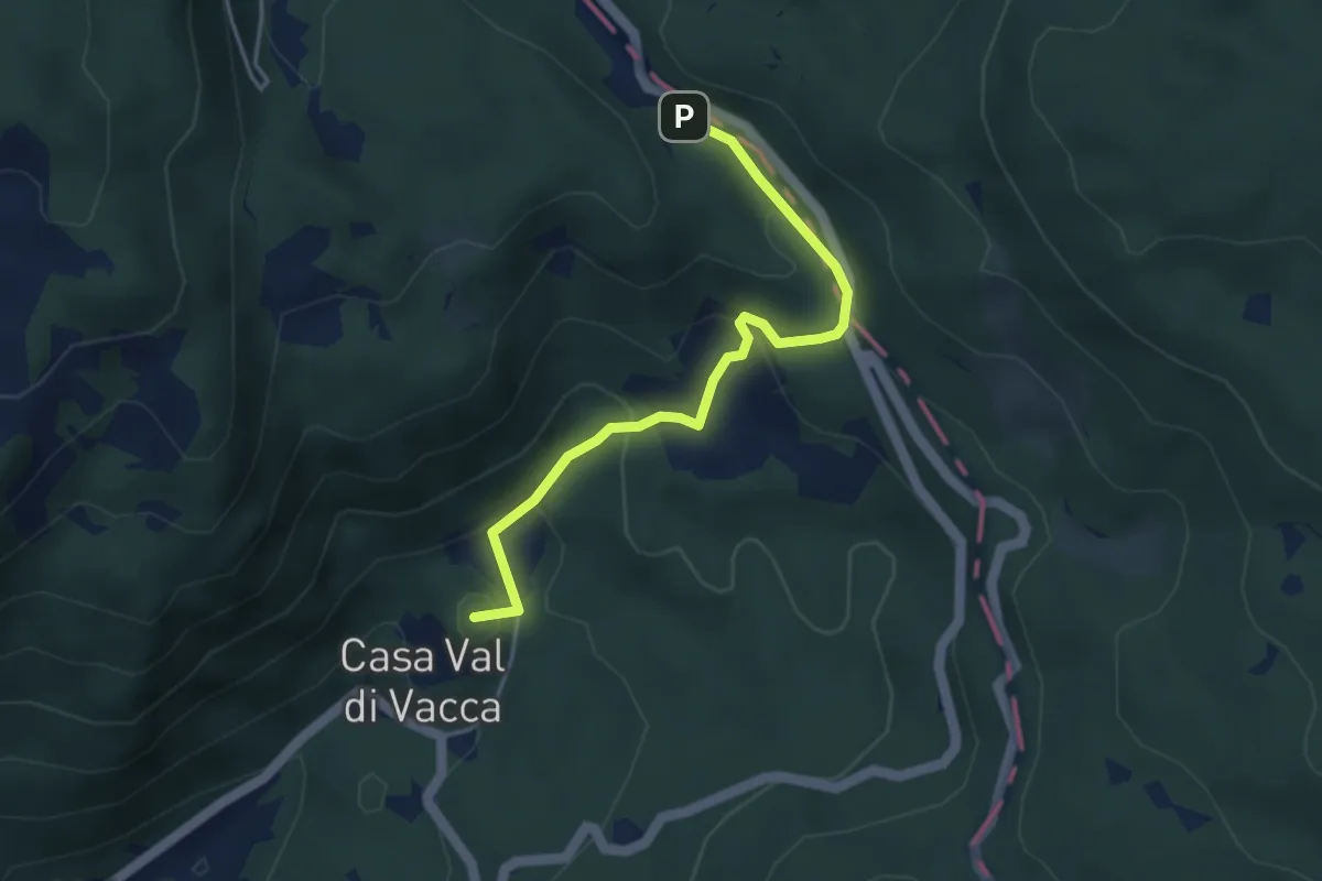
Easy · Summit
Villa Natalia – Passo Crosetta
4.0 km · ↑ 199 m · 1 h 23 min · 12 km away
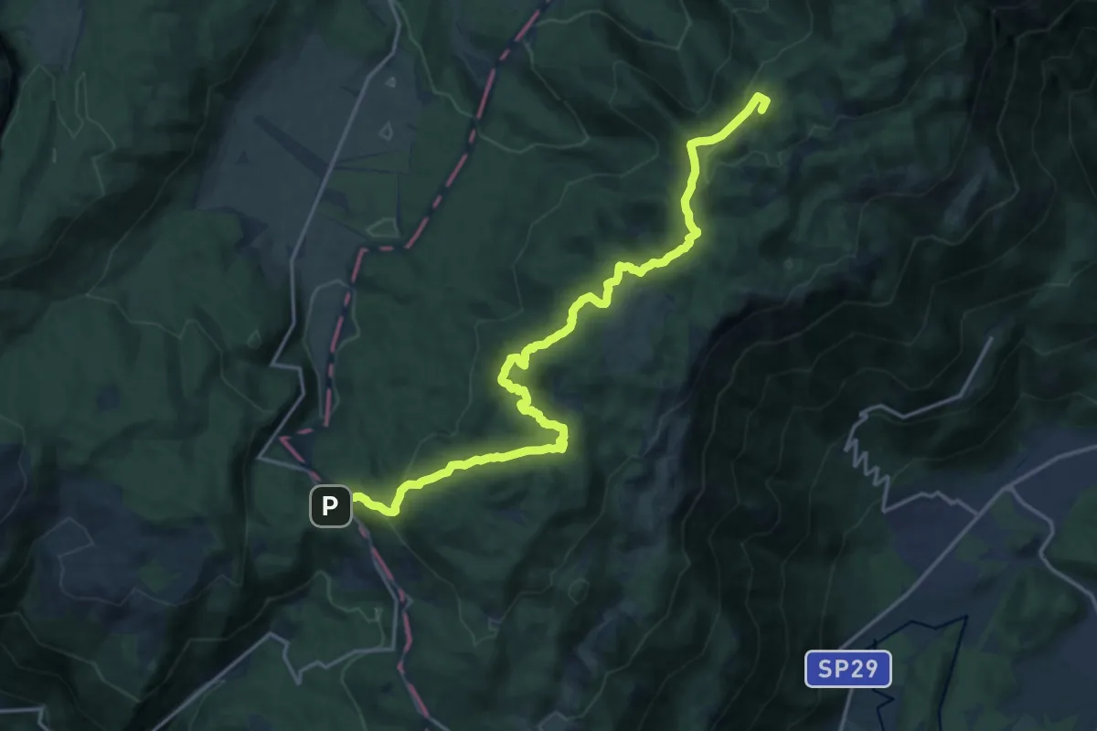
Demanding · Summit
La Crosetta – Bivio sentiero n.984 Valle Friz
19.2 km · ↑ 799 m · 6 h 16 min · 12 km away
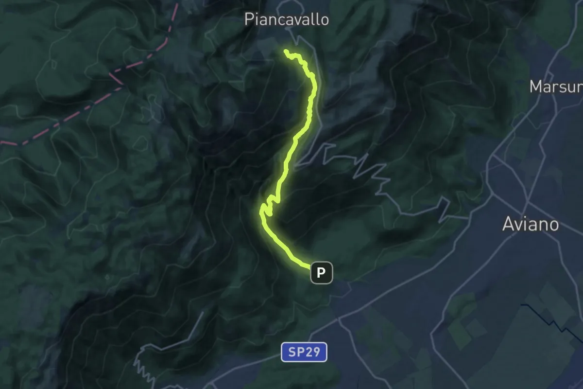
Demanding · Trail
Dardago-Sentiero del Rujal (quota 230 m) – Piancavallo (quota 1290 m)
14.6 km · ↑ 1219 m · 6 h 6 min · 12 km away
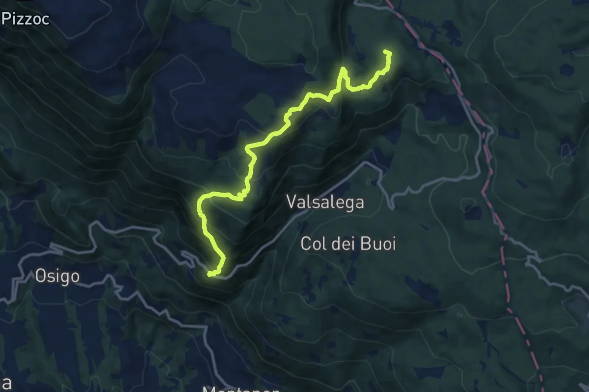
Medium · Summit
S.Antonio - da S.P. 422 – La Crosetta
10.4 km · ↑ 775 m · 4 h 8 min · 12 km away
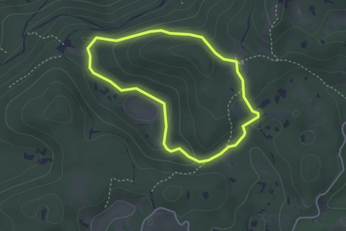
Medium · Summit
Sentiero Raimondo Lacchin "Chirurgo"
2.8 km · ↑ 86 m · 53 min · 13 km away
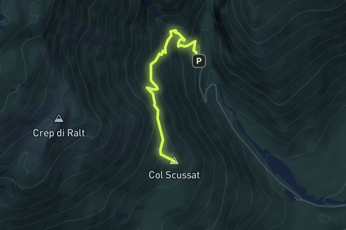
Medium · Summit
Da San Tomè a Mezzomonte
4.5 km · ↑ 352 m · 1 h 50 min · 13 km away
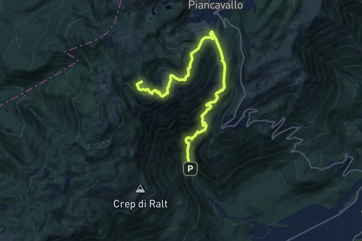
Demanding · Summit
Dardago Chalet Belvedere (quota 440 m) – Casera Valle Friz (quota 1538 m)
18.3 km · ↑ 1580 m · 7 h 45 min · 13 km away
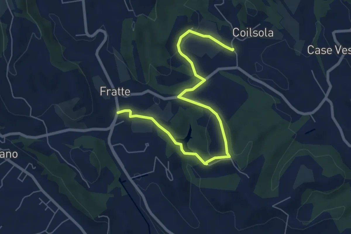
Easy · Trail
Sentiero del Torchiato
6.6 km · ↑ 221 m · 2 h 2 min · 13 km away
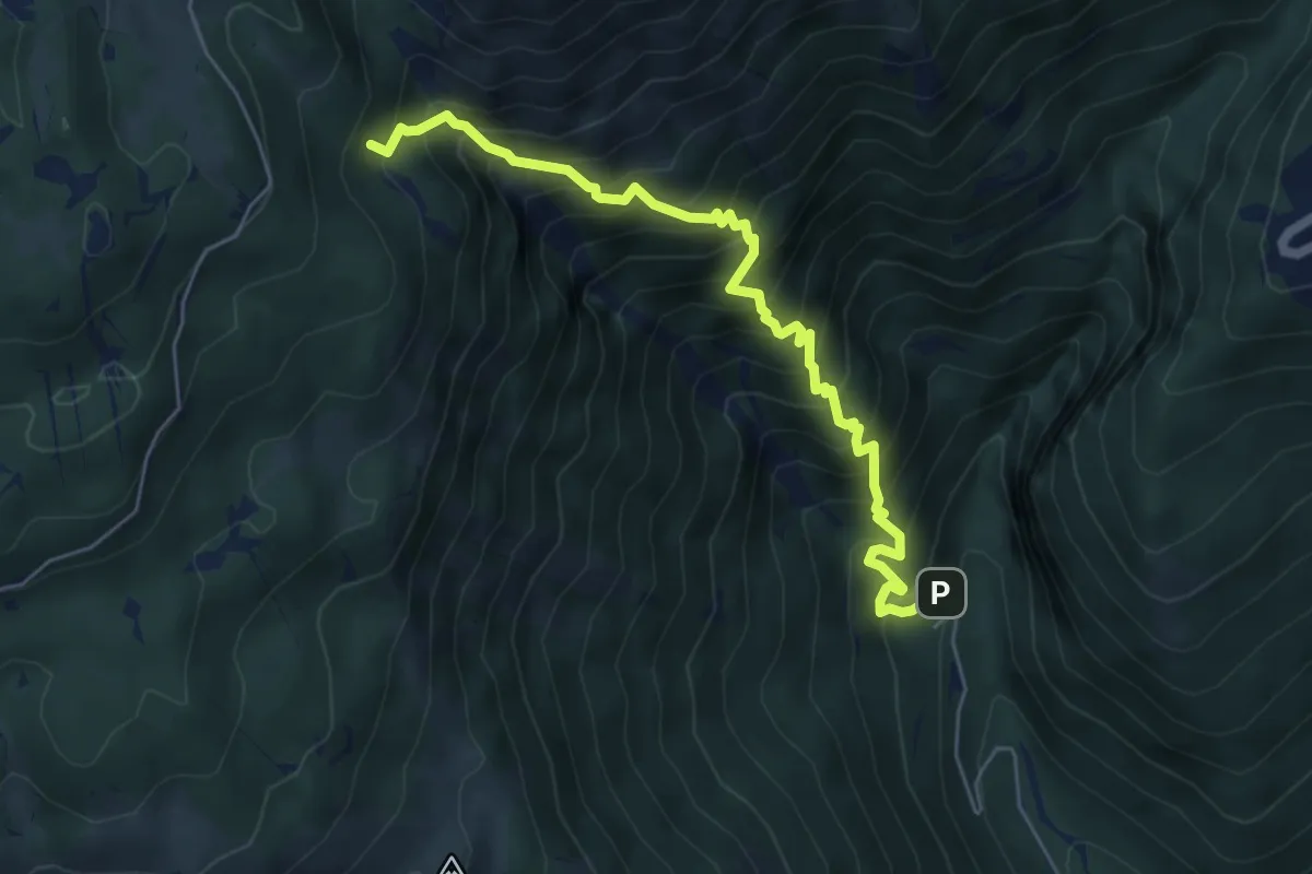
Demanding · Trail
Bivio sentiero n. 984 (quota 513 m) – Bivio sentiero n. 984 (quota 1347 m)
6.1 km · ↑ 958 m · 3 h 31 min · 13 km away
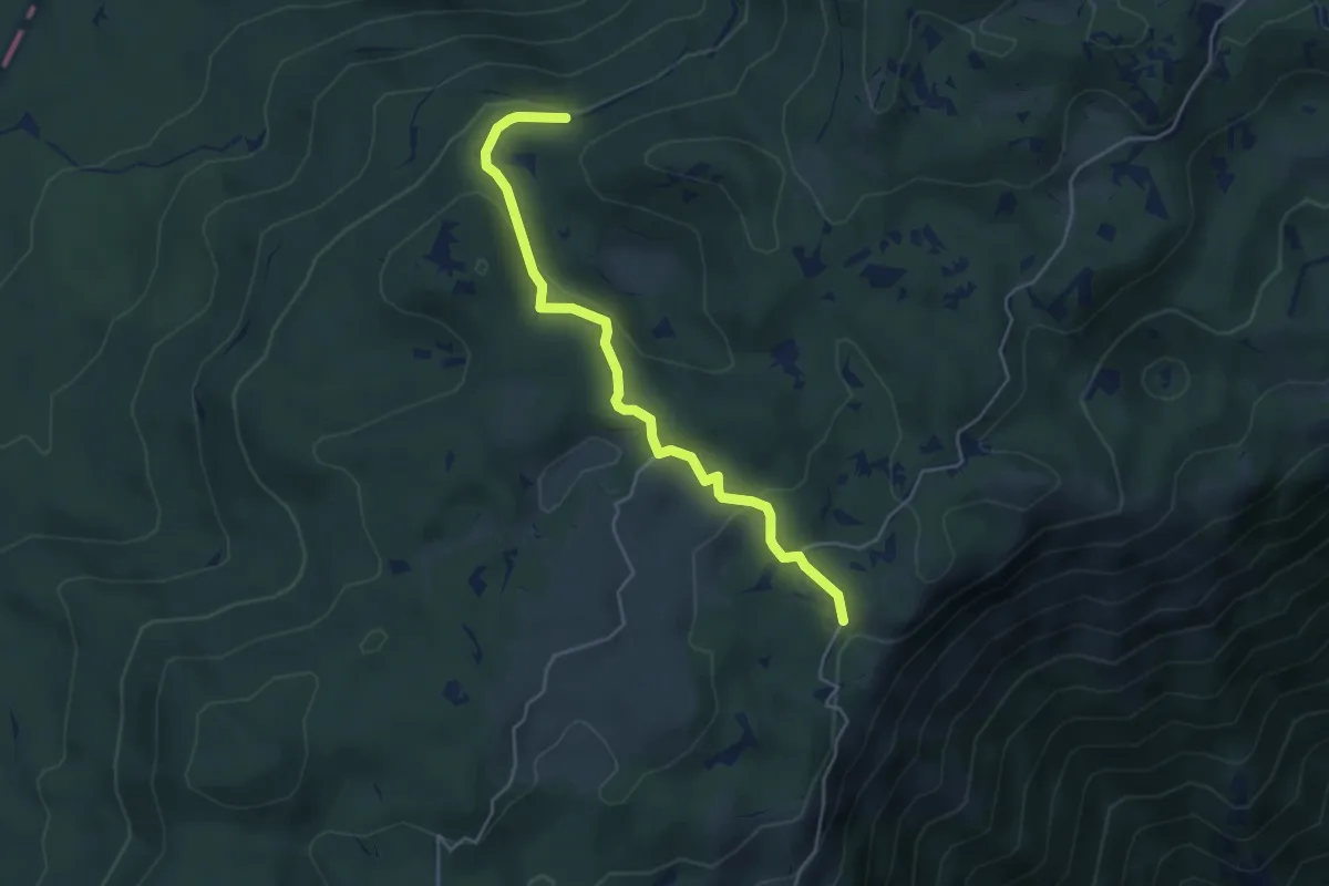
Medium · Trail
Sentiero naturalistico B1
4.7 km · ↑ 183 m · 1 h 31 min · 13 km away
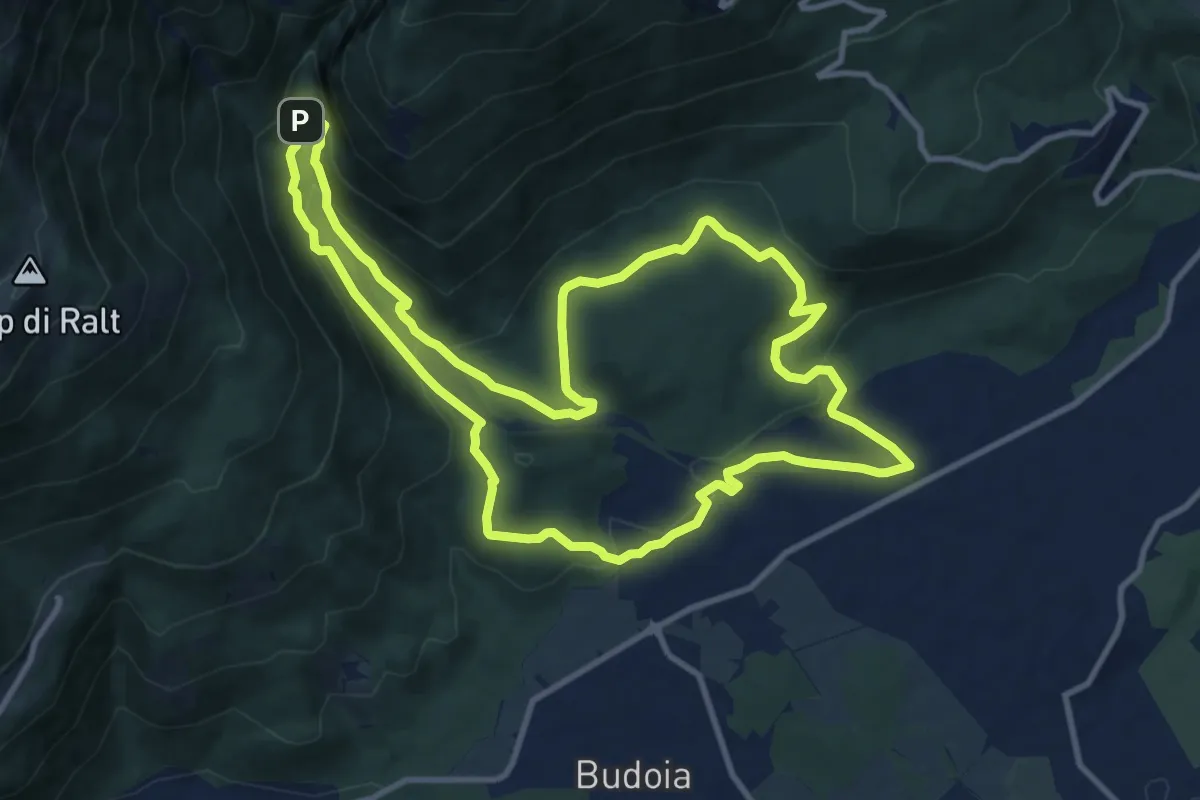
Medium · Summit
Itinerario del Torrente Artugna
11.6 km · ↑ 395 m · 3 h 45 min · 13 km away
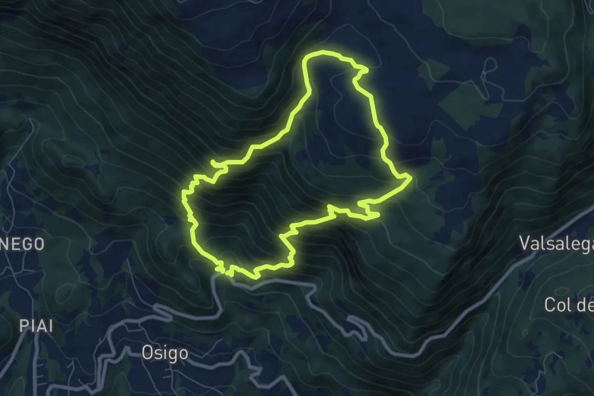
Demanding · Trail
Sentiero Nino Lot
7.3 km · ↑ 768 m · 3 h 29 min · 13 km away
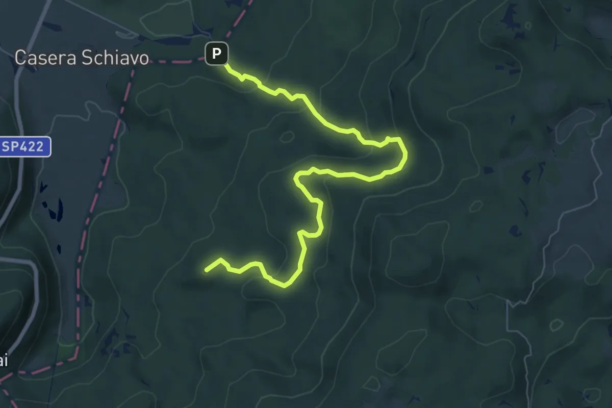
Medium · Summit
Sentiero naturalistico O
7.7 km · ↑ 323 m · 2 h 31 min · 13 km away
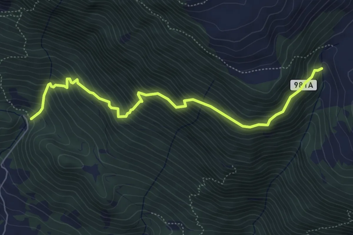
Medium · Trail
Sentiero della Terra Nera
6.1 km · ↑ 683 m · 2 h 55 min · 14 km away
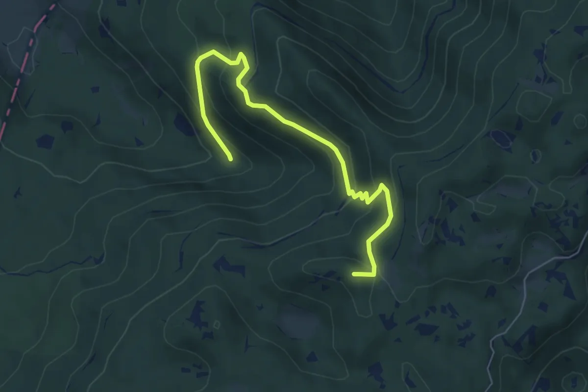
Medium · Summit
Sentiero del Motore alpino
6.2 km · ↑ 347 m · 2 h 13 min · 14 km away
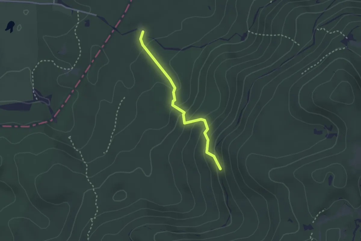
Medium · Trail
Sentiero Pian De le Stele
2.5 km · ↑ 177 m · 58 min · 14 km away
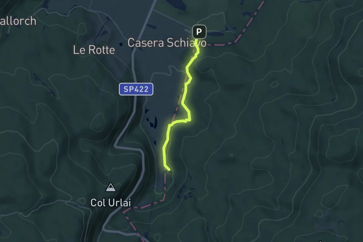
Medium · Trail
Sentiero naturalistico M
4.0 km · ↑ 90 m · 1 h 8 min · 14 km away
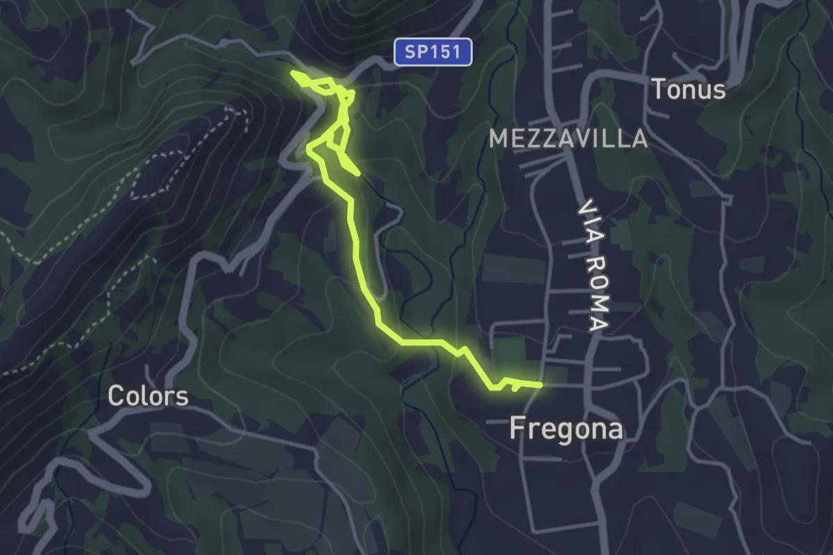
Easy · Trail
Grotte del Caglieron
4.2 km · ↑ 184 m · 1 h 23 min · 14 km away
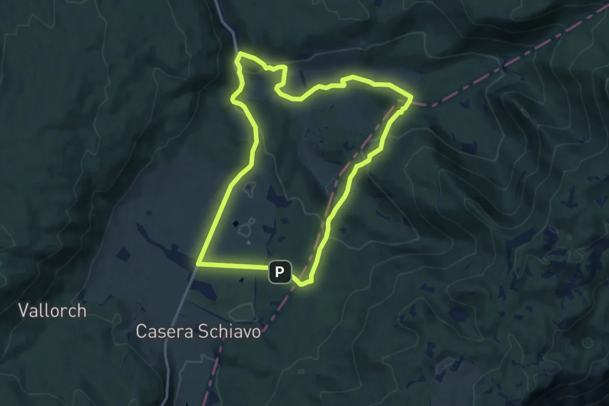
Medium · Summit
Sentiero naturalistico A
10.0 km · ↑ 287 m · 3 h 7 min · 14 km away
Medium · Summit
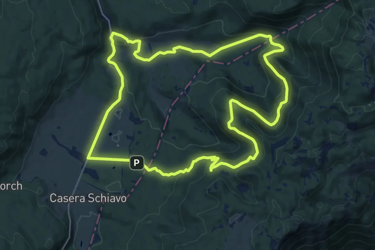
Sentiero naturalistico B
16.6 km · ↑ 475 m · 5 h 11 min · 14 km away
Medium · Trail
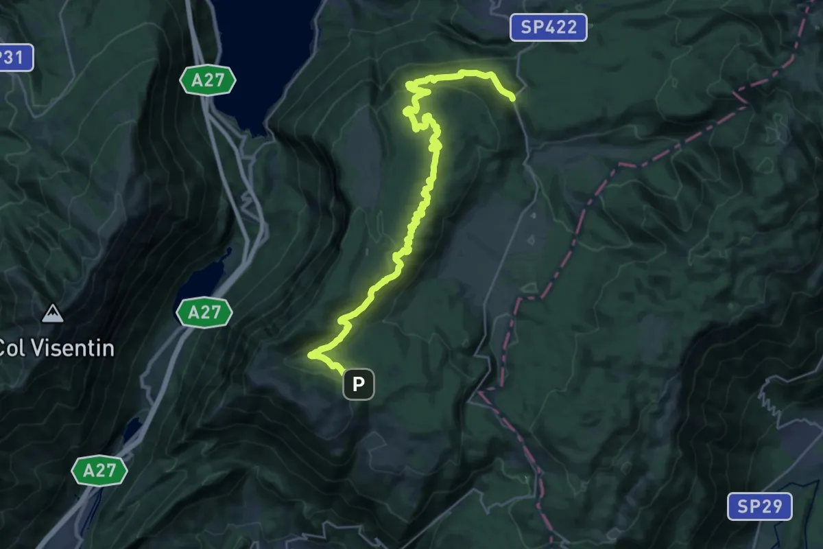
Sentiero naturalistico F - Strada del Taffarel
14.3 km · ↑ 255 m · 4 h 17 min · 14 km away
Medium · Trail
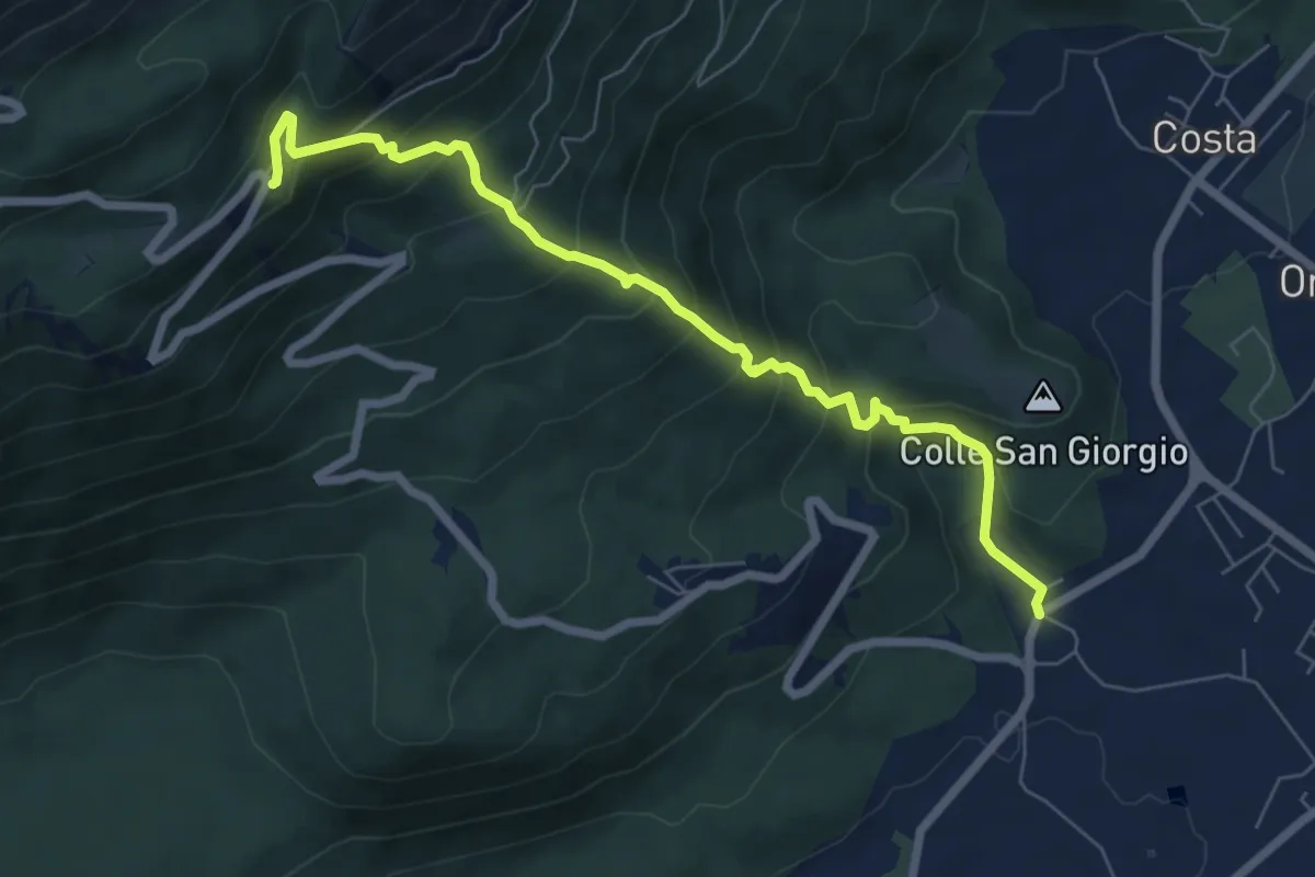
Sentiero Cava Bornass
7.2 km · ↑ 645 m · 3 h 6 min · 14 km away
Medium · Trail
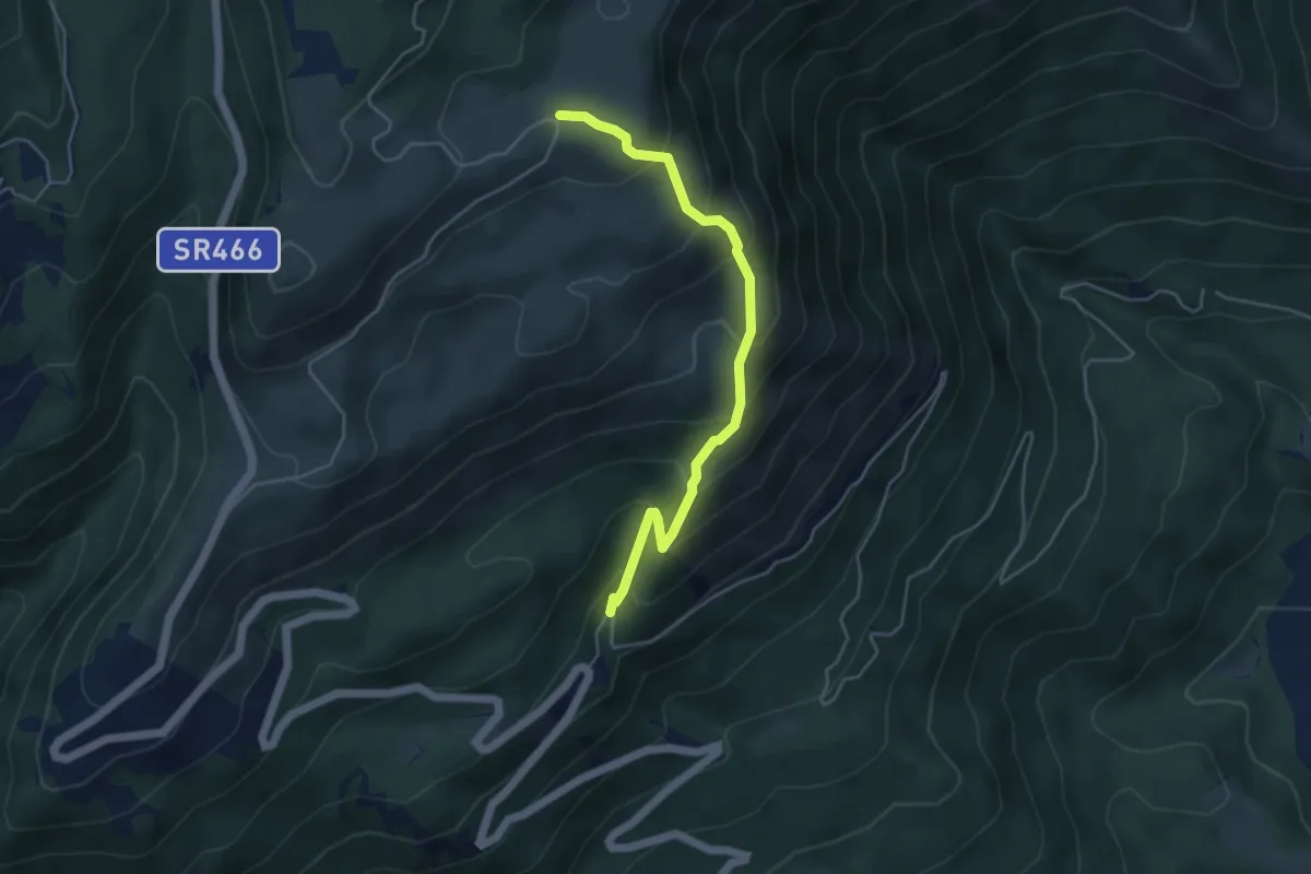
Sentiero Fontanuzze
4.6 km · ↑ 440 m · 2 h 2 min · 15 km away
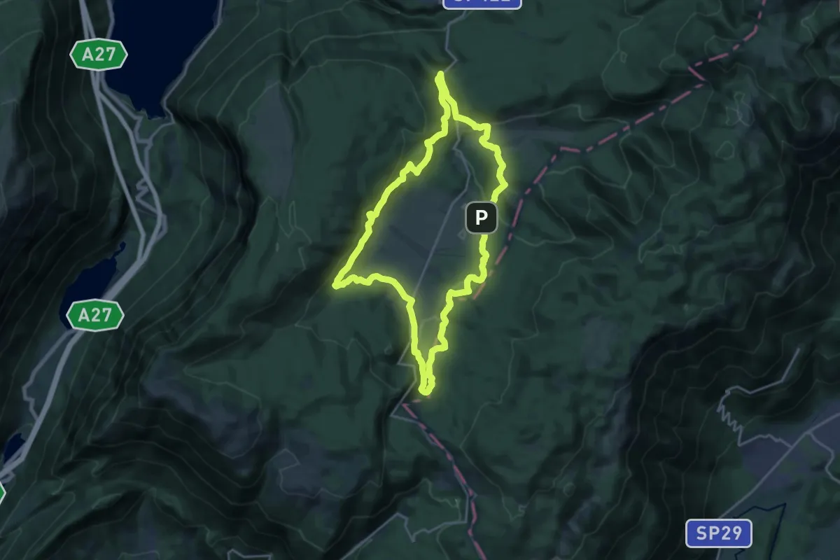
Medium · Summit
Anello del Cansiglio
17.4 km · ↑ 496 m · 5 h 25 min · 15 km away
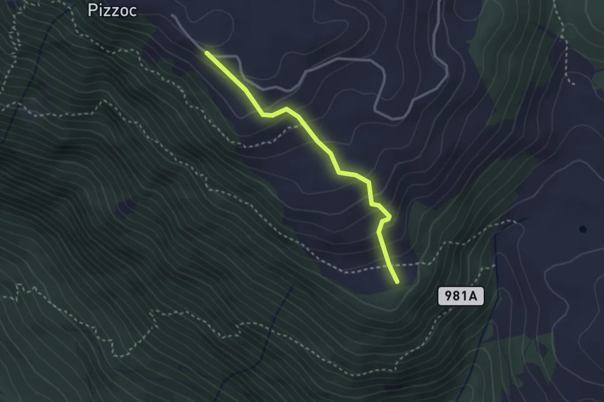
Easy · Summit
Sentiero Tenente Berry
2.6 km · ↑ 224 m · 1 h 7 min · 15 km away