Trails near Sala Consilina
23 hikes starting within 15 km, nearest first.
Nearest first
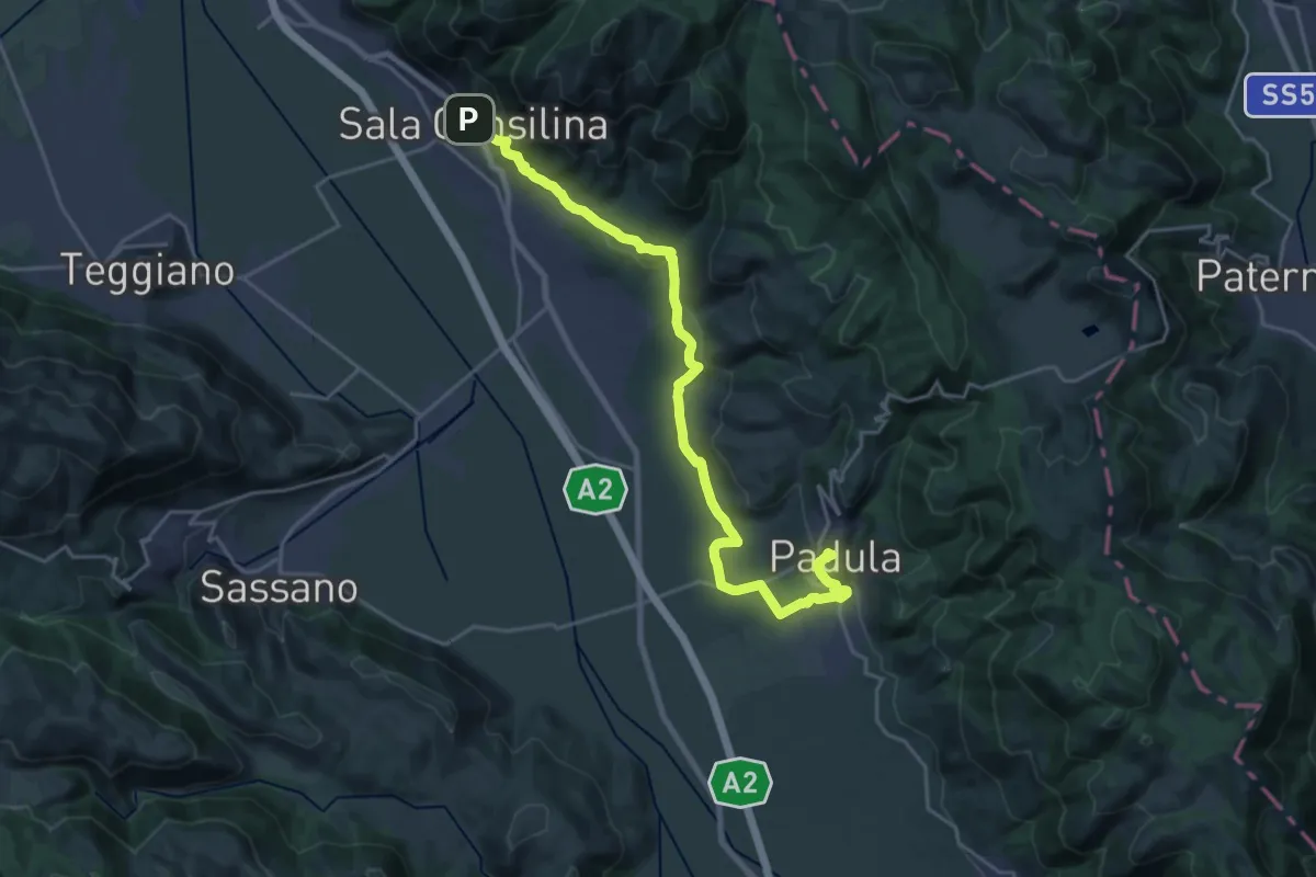
Demanding · Trail
Cammino del Negro - Tappa 9
26.0 km · ↑ 617 m · 7 h 28 min · under 1 km away
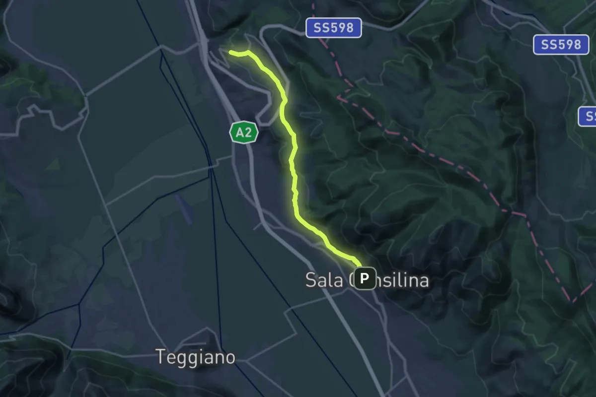
Medium · Trail
Cammino del Negro - Tappa 8
16.6 km · ↑ 430 m · 4 h 52 min · under 1 km away
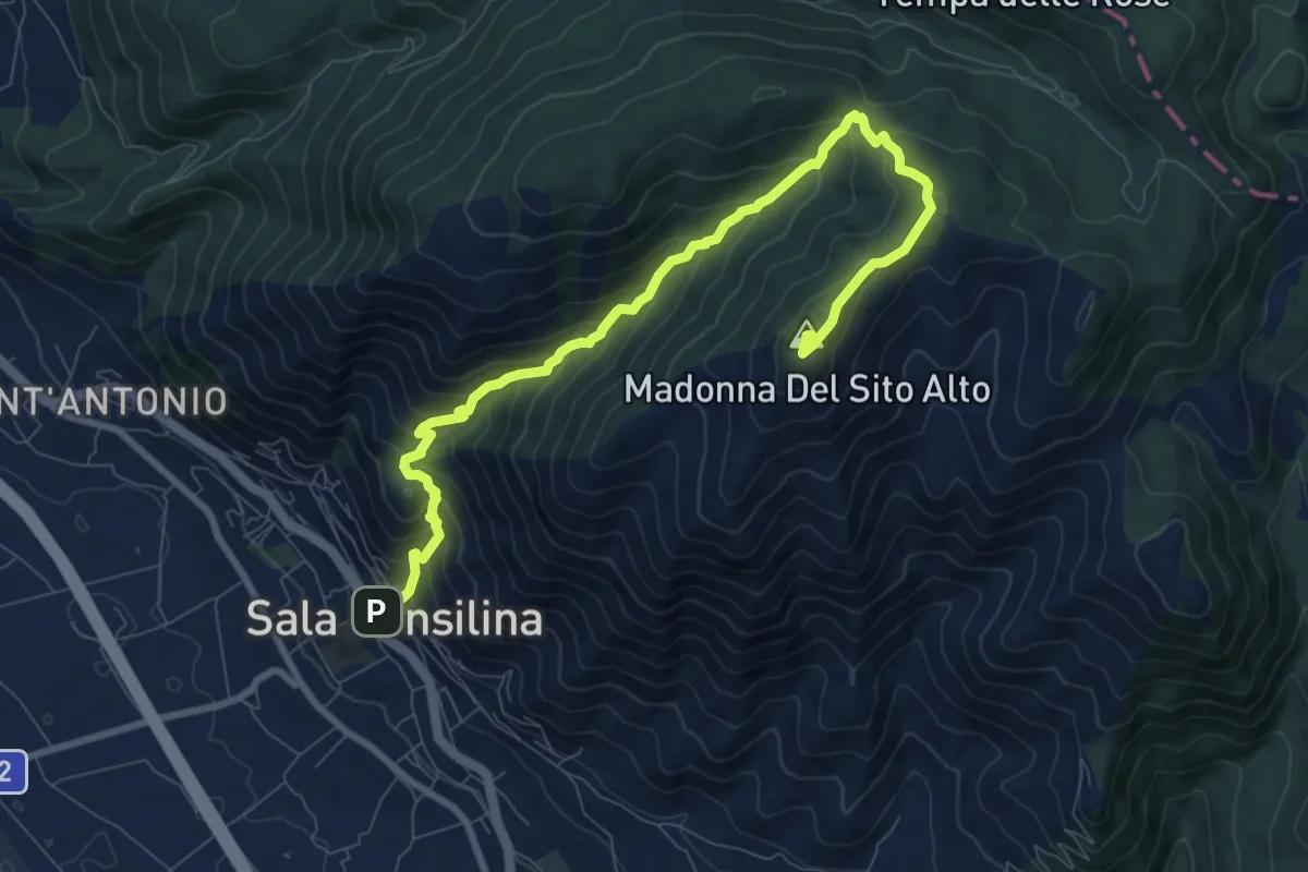
Demanding · Summit
Sentiero dei Pellegrini di Sala Consilina
10.9 km · ↑ 879 m · 4 h 29 min · under 1 km away
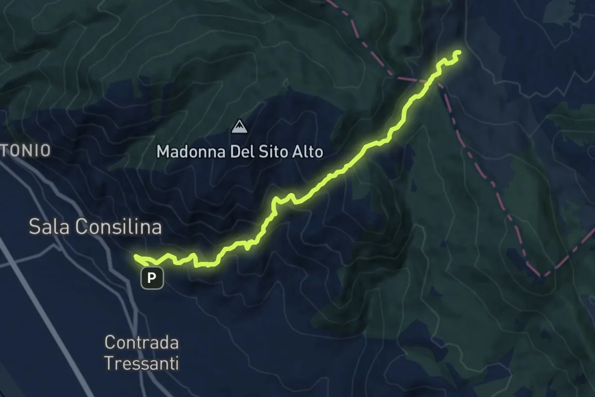
Demanding · Trail
Sentiero dei Marsicani
13.2 km · ↑ 1100 m · 5 h 30 min · 1 km away
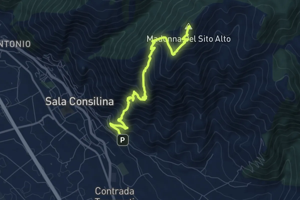
Demanding · Summit
Sentiero Giorgino Garone
9.4 km · ↑ 938 m · 4 h 15 min · 1 km away
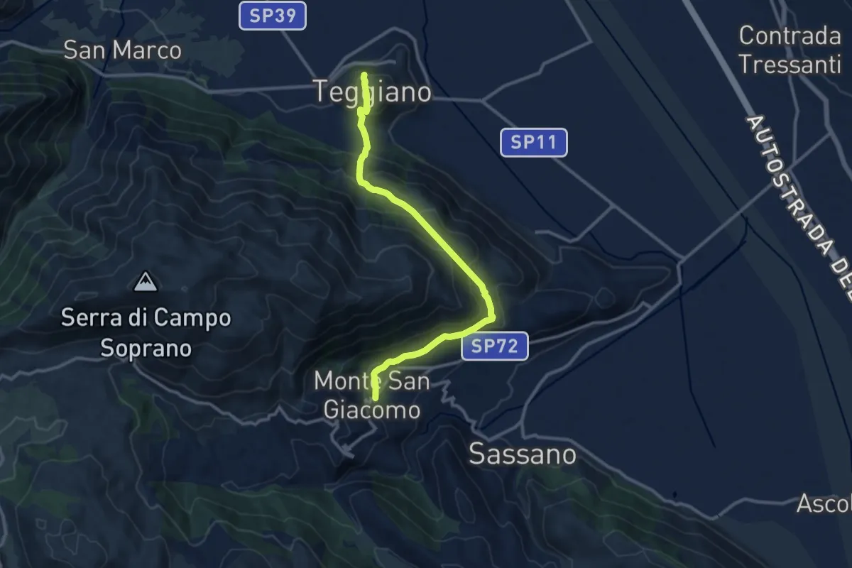
Medium · Trail
Cammino del Negro - Tappa 3
12.2 km · ↑ 754 m · 4 h 30 min · 5 km away
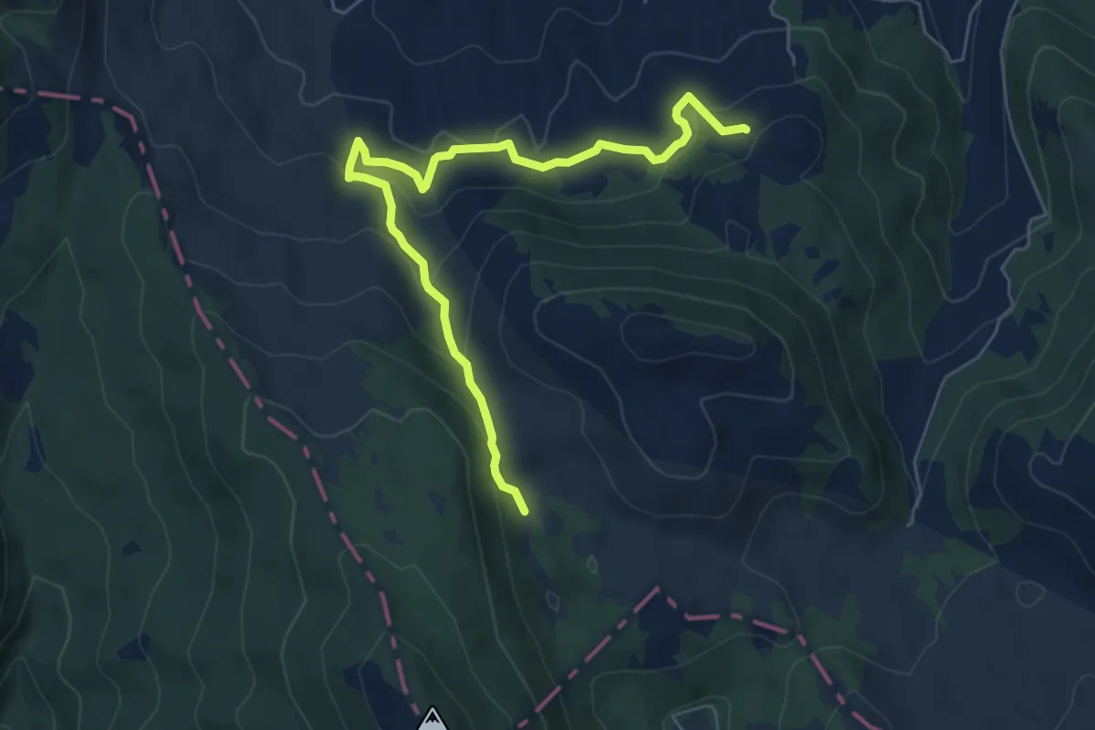
Medium · Trail
Vadda Fazzatora – Percorso 649A
7.3 km · ↑ 373 m · 2 h 32 min · 6 km away
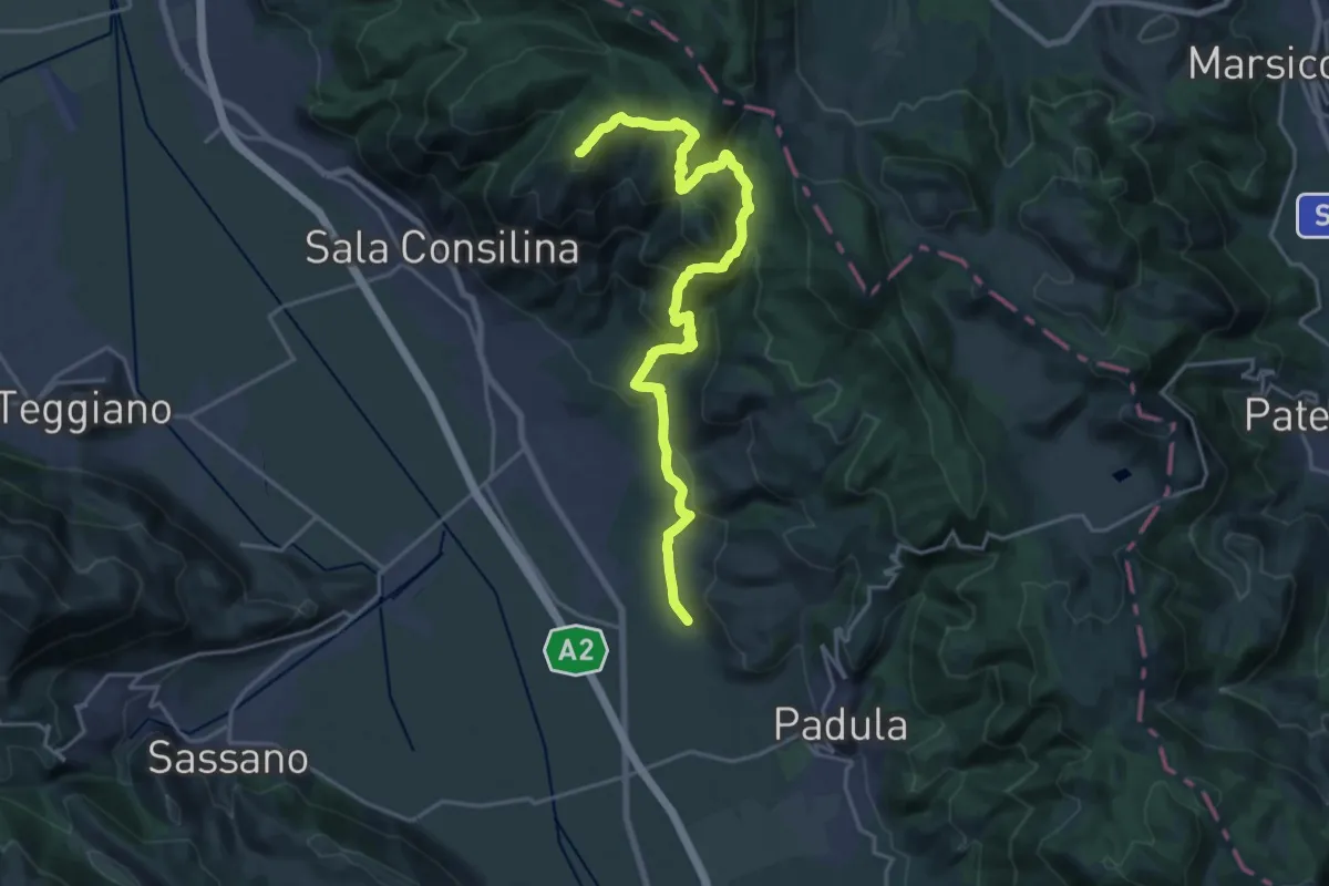
Demanding · Summit
Sentiero Frassati
24.4 km · ↑ 1266 m · 8 h 30 min · 6 km away
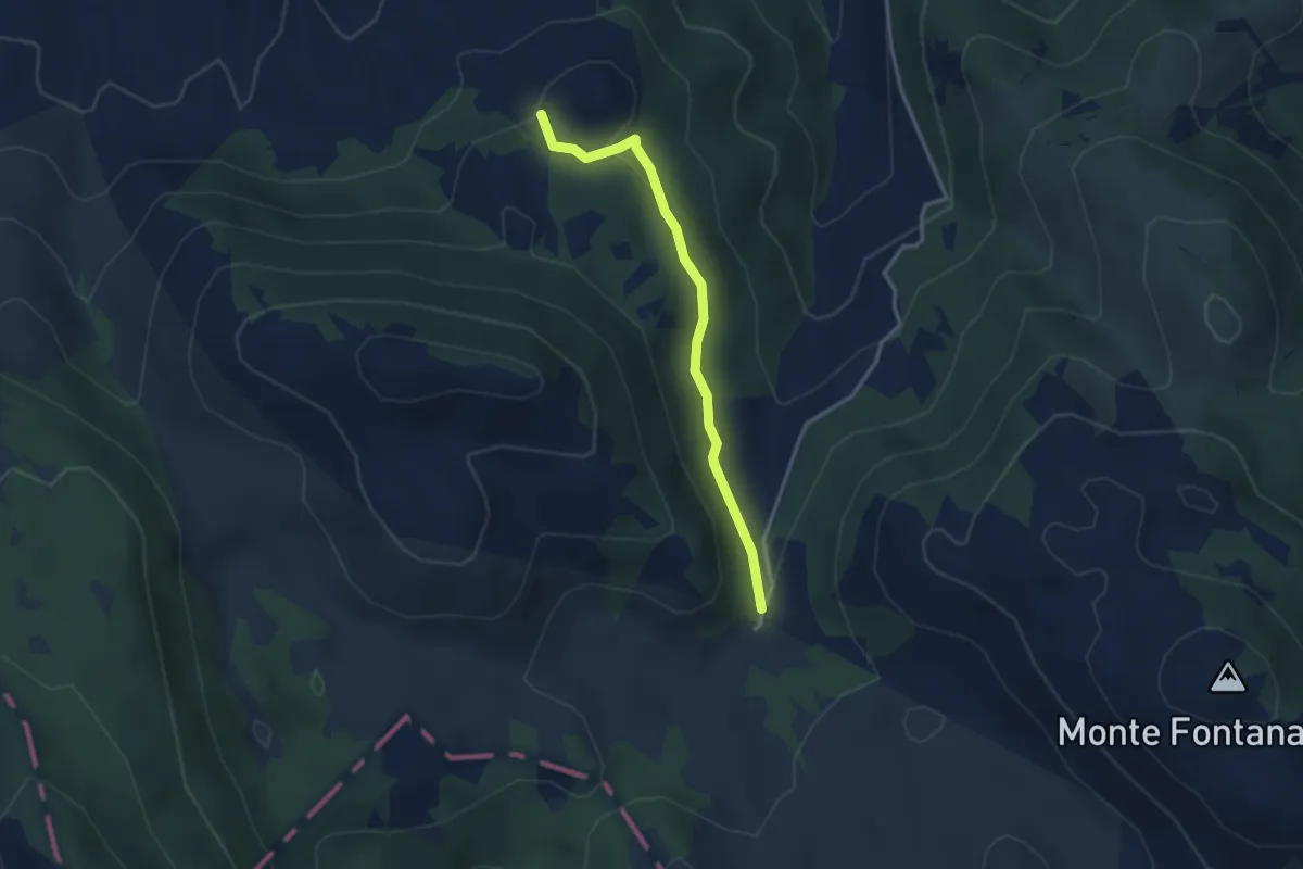
Easy · Trail
Sorgente Fiume Melaggine – Croce di Cozzo Monte Cavallo
3.3 km · ↑ 94 m · 1 h · 7 km away
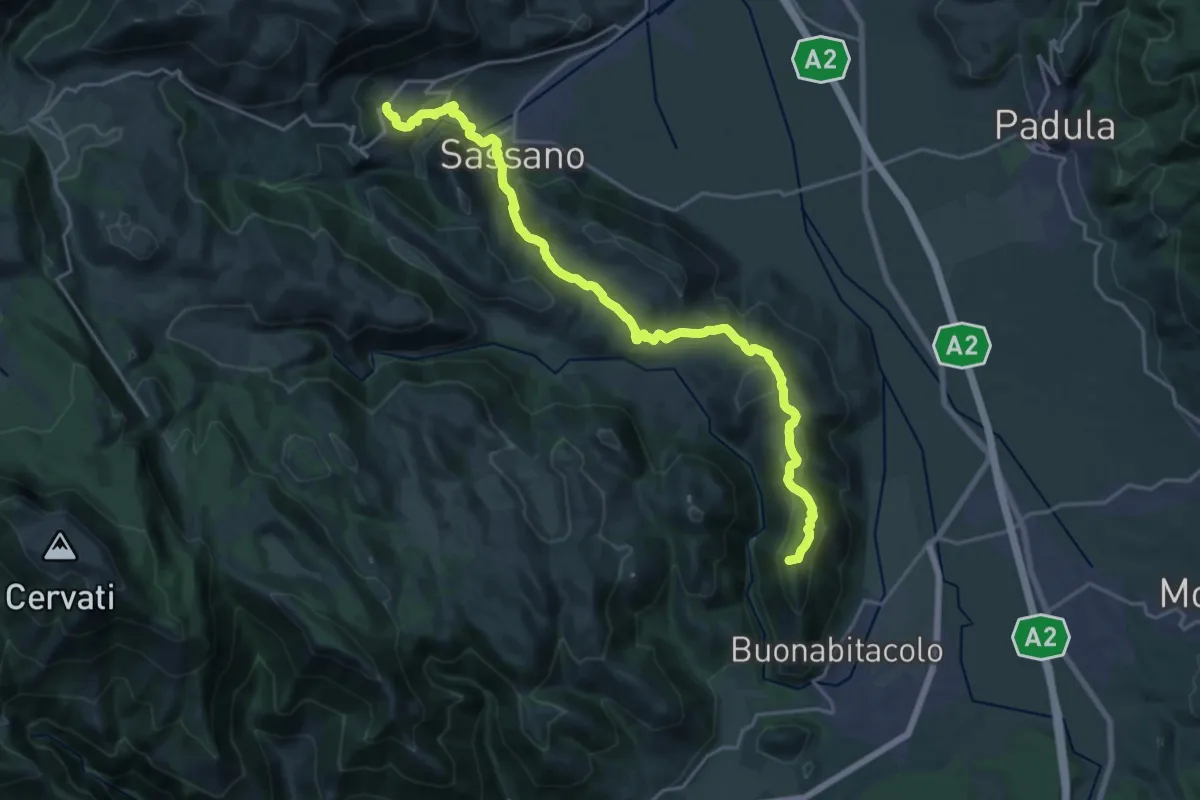
Demanding · Summit
Cammino del Negro - Tappa 2
25.4 km · ↑ 846 m · 7 h 50 min · 8 km away
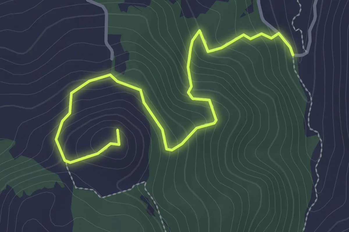
Easy · Trail
Percorso 649 – Croce di Cozzo Monte Cavallo
3.8 km · ↑ 268 m · 1 h 29 min · 8 km away
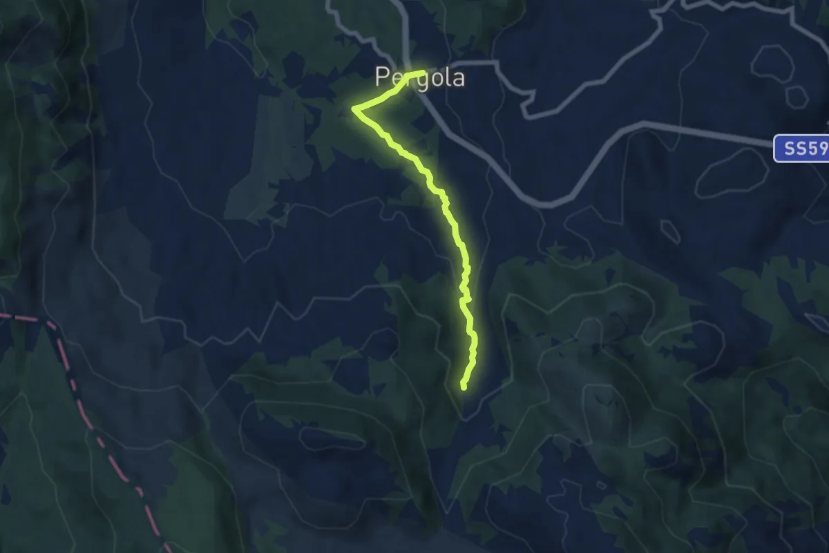
Easy · Trail
Pergola – Cascate del Melaggine
6.5 km · ↑ 200 m · 1 h 57 min · 8 km away
Medium · Trail
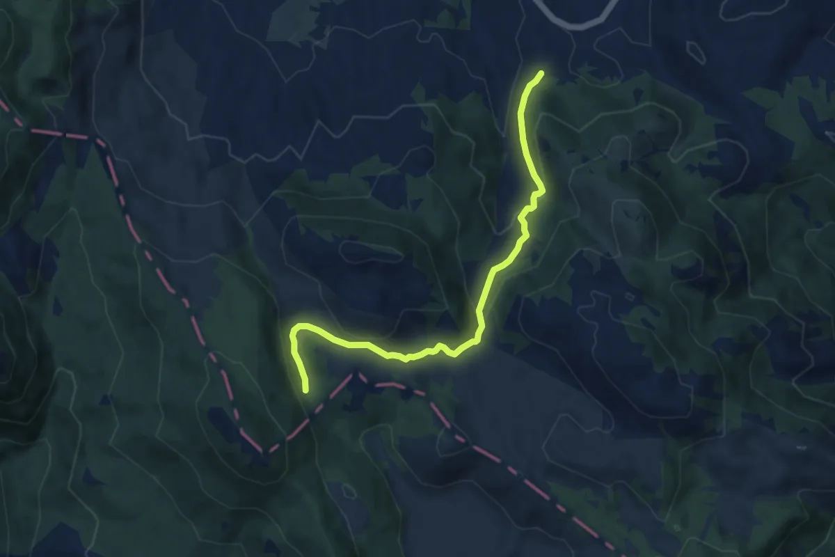
Manca Cozzaro – Vadda Fazzatora
8.9 km · ↑ 323 m · 2 h 49 min · 8 km away
Demanding · Trail
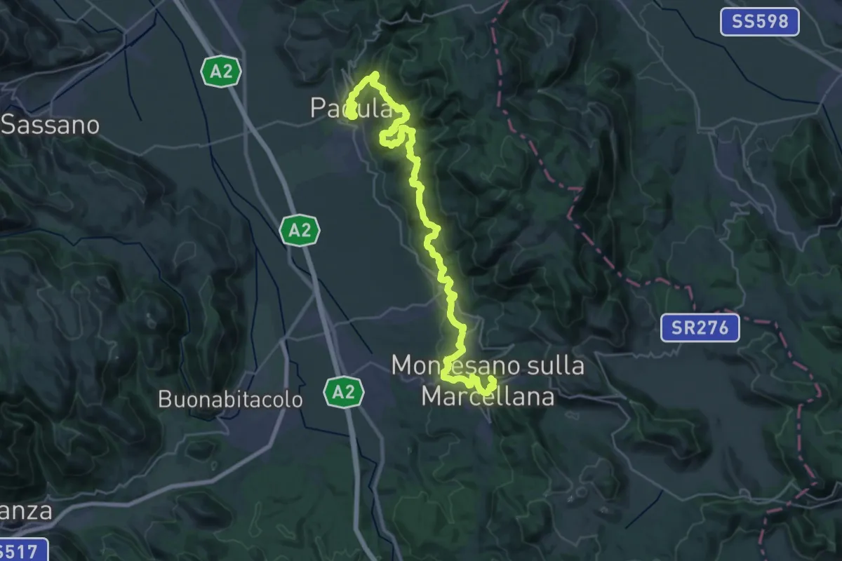
Cammino del Negro - Tappa 10
18.1 km · ↑ 808 m · 6 h 10 min · 8 km away
Medium · Trail
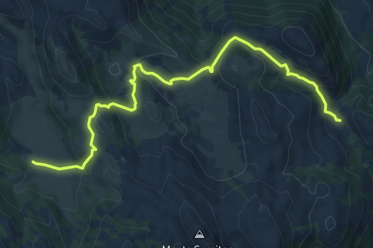
Sentiero delle Orchidee
11.3 km · ↑ 367 m · 3 h 28 min · 12 km away
Demanding · Trail
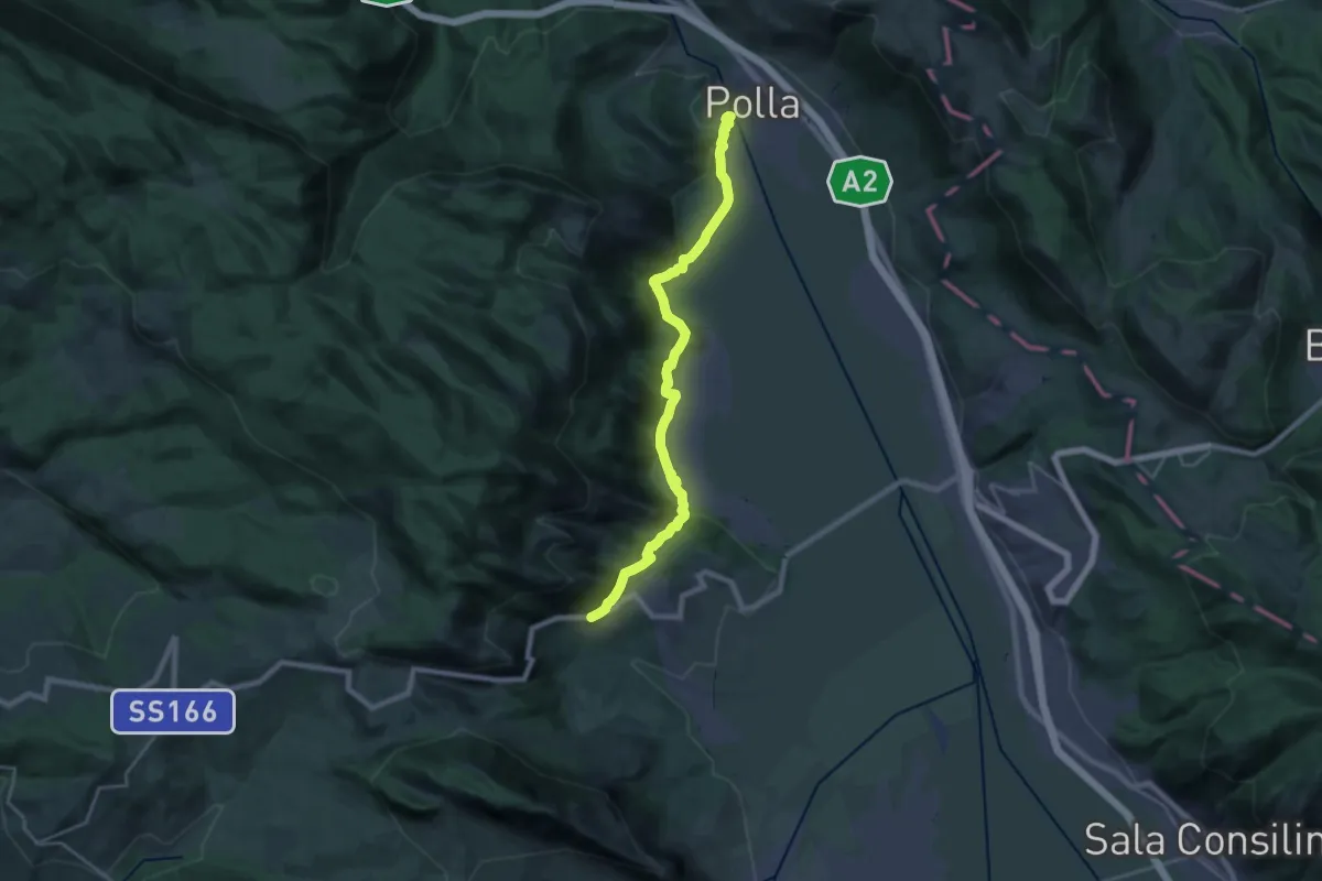
Cammino del Negro - Tappa 5
23.3 km · ↑ 523 m · 6 h 38 min · 12 km away
Demanding · Trail
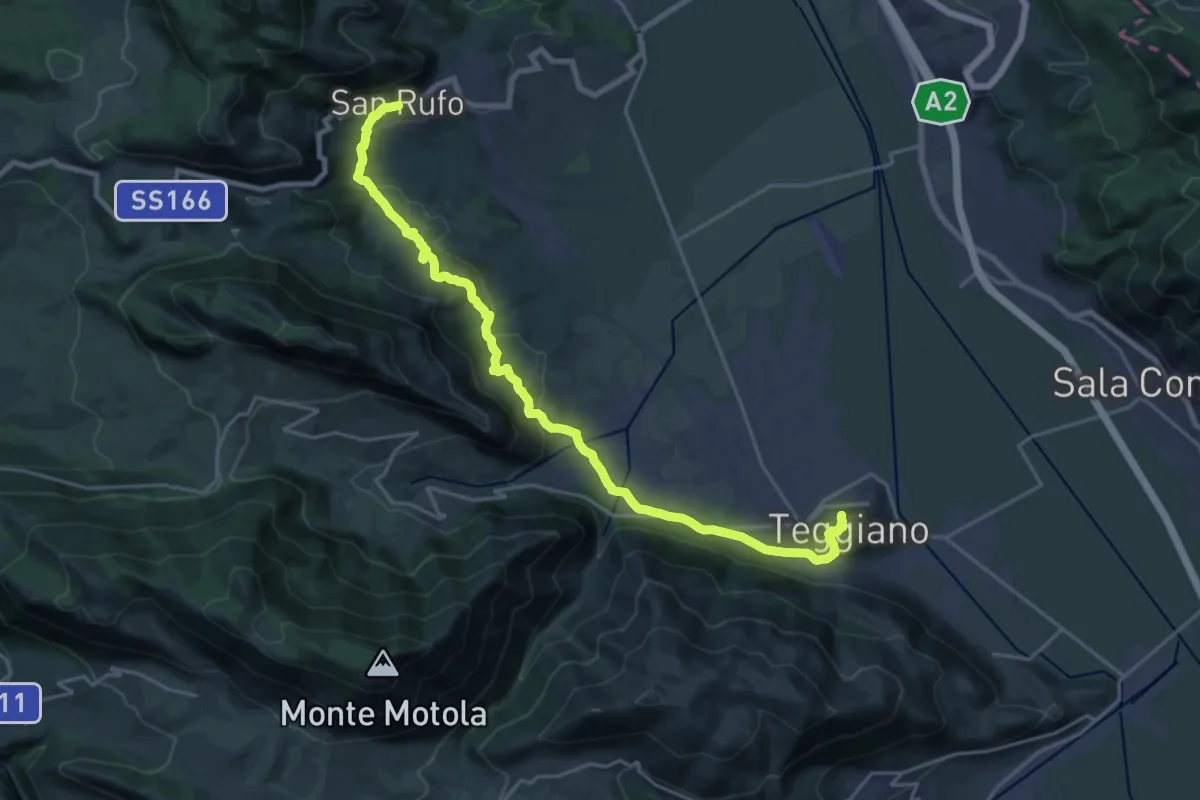
Cammino del Negro - Tappa 4
25.5 km · ↑ 881 m · 7 h 55 min · 12 km away
Demanding · Summit
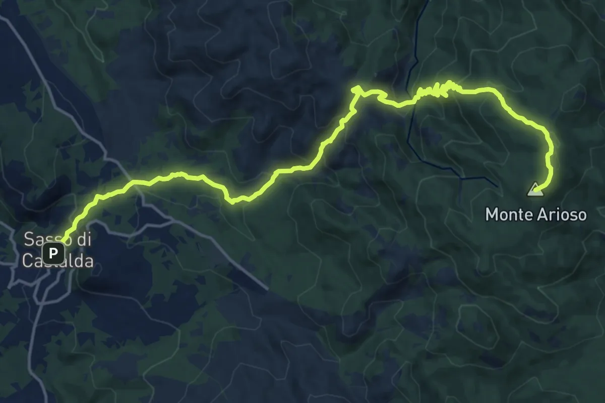
Sasso di Castalda – Monte Arioso
20.1 km · ↑ 1103 m · 7 h 8 min · 12 km away
Easy · Trail
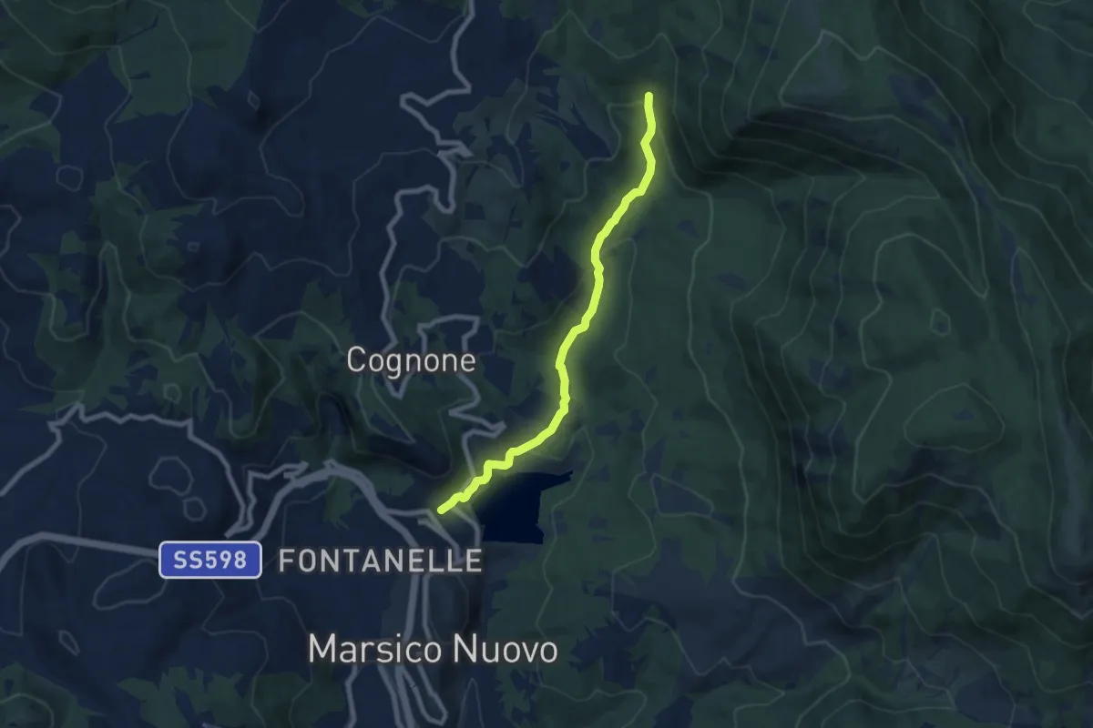
Marsico Nuovo – Sorgente Agri
8.0 km · ↑ 279 m · 2 h 29 min · 12 km away
Easy · Trail
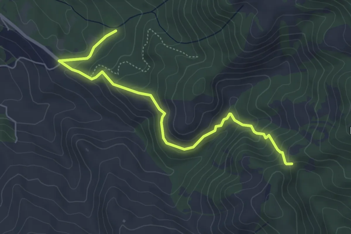
Bosco della Costara – Colle Margiotto
6.2 km · ↑ 314 m · 2 h 8 min · 14 km away
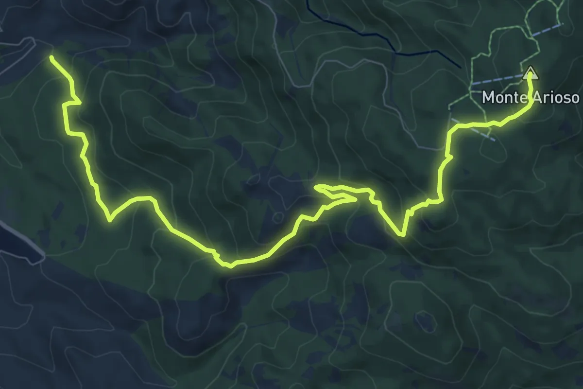
Medium · Summit
Monte Arioso – Cappella San Michele
12.6 km · ↑ 760 m · 4 h 37 min · 14 km away
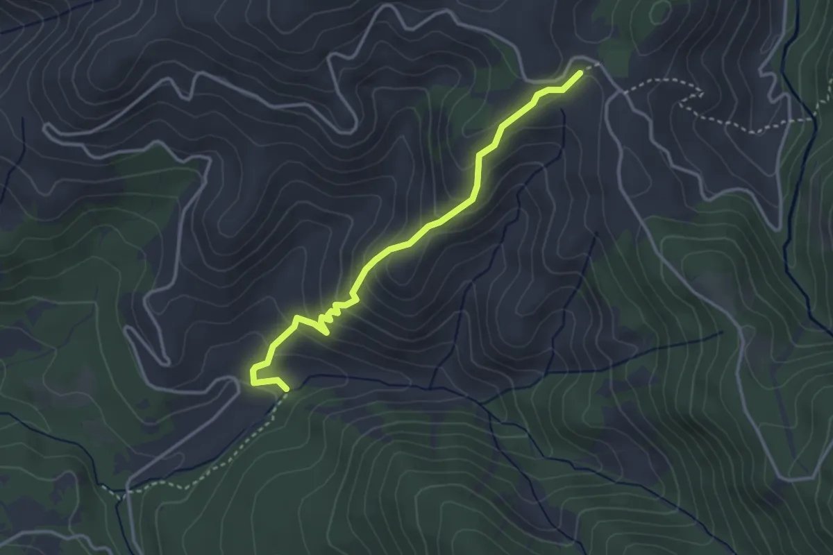
Easy · Cabin
Cappella San Michele – Madonna del Sasso
3.7 km · ↑ 260 m · 1 h 26 min · 15 km away
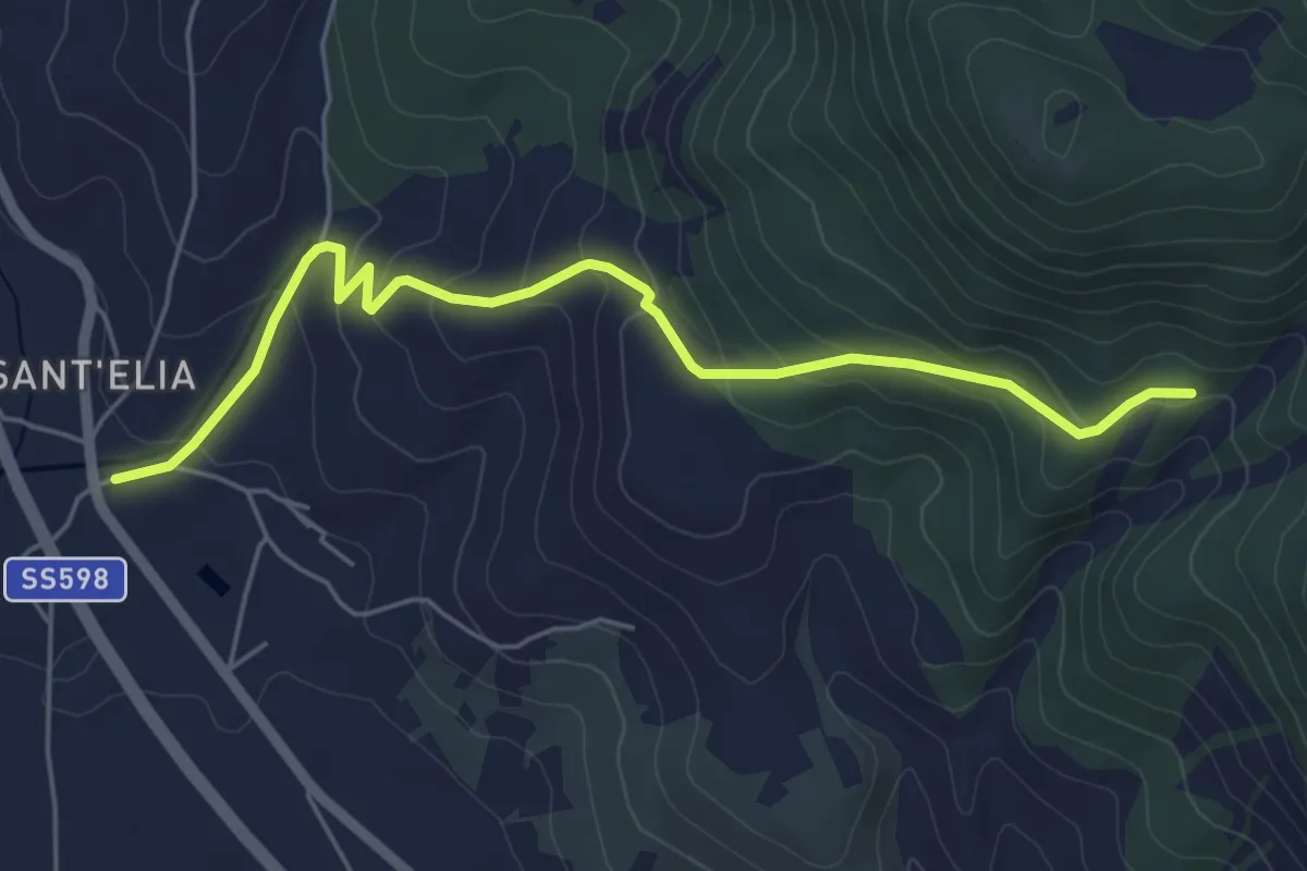
Easy · Trail
Sant' Elia – Rifugio Monte Ausineto
6.2 km · ↑ 252 m · 2 h 1 min · 15 km away