Trails near San Casciano in Val di Pesa
75 hikes starting within 15 km, nearest first.
Nearest first, page 2 of 2
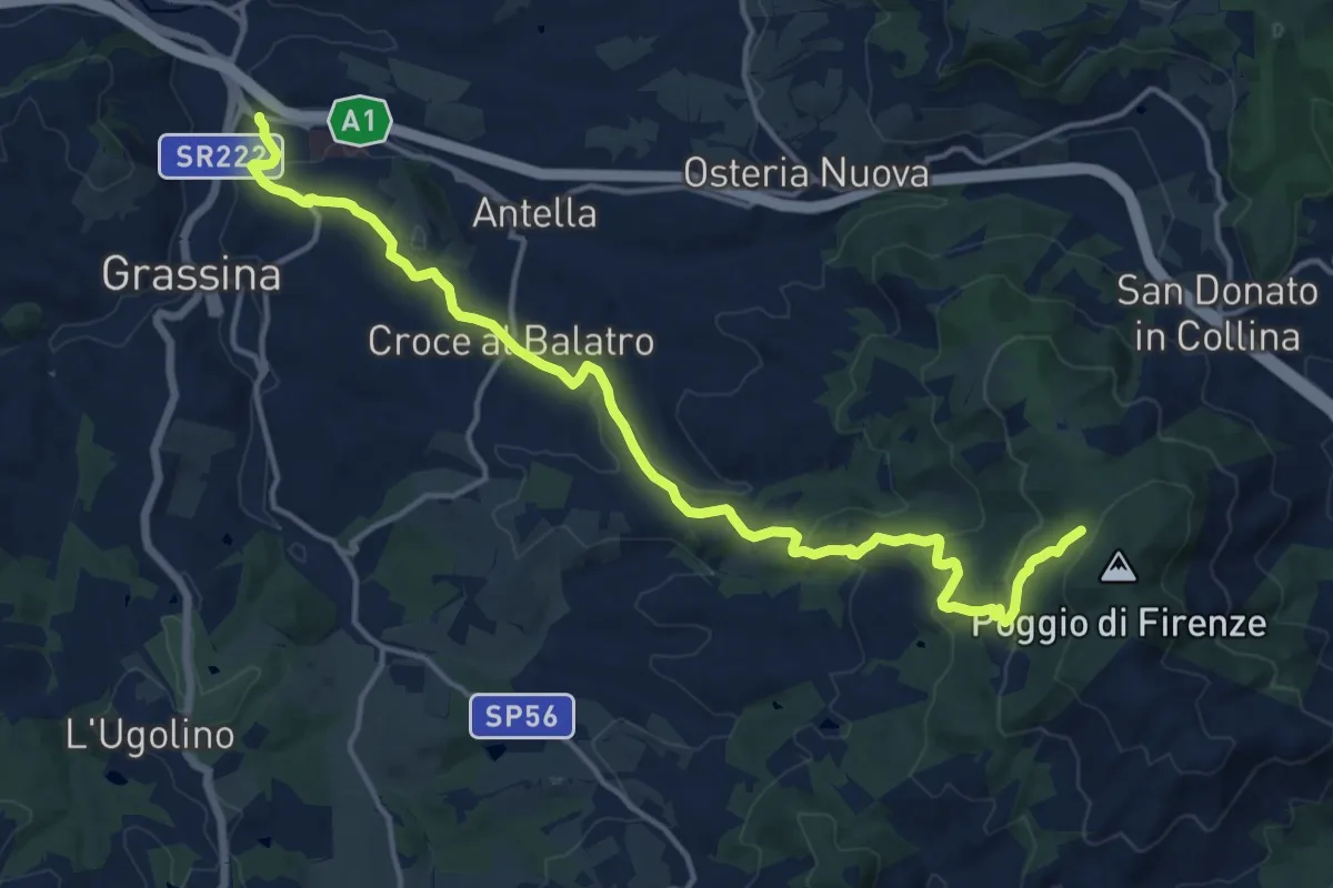
Demanding · Cabin
Ponte a Ema – Sorgente Fonte Santa
18.1 km · ↑ 559 m · 5 h 30 min · 12 km away
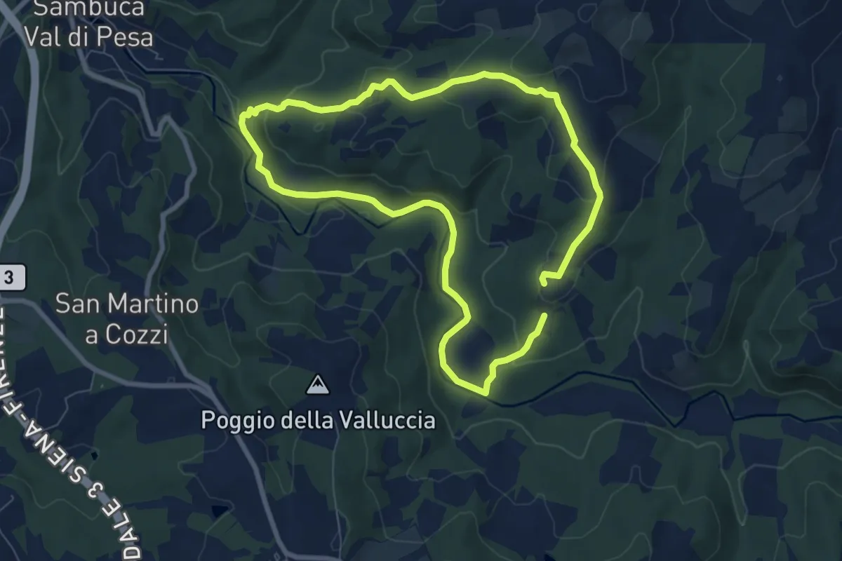
Easy · Trail
Le Pedate di San Giovanni Gualberto
7.1 km · ↑ 214 m · 2 h 15 min · 13 km away
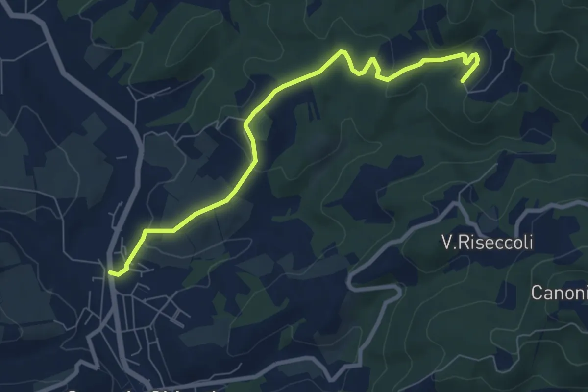
Easy · Trail
Greve – Le Caselle
7.3 km · ↑ 182 m · 2 h 7 min · 13 km away
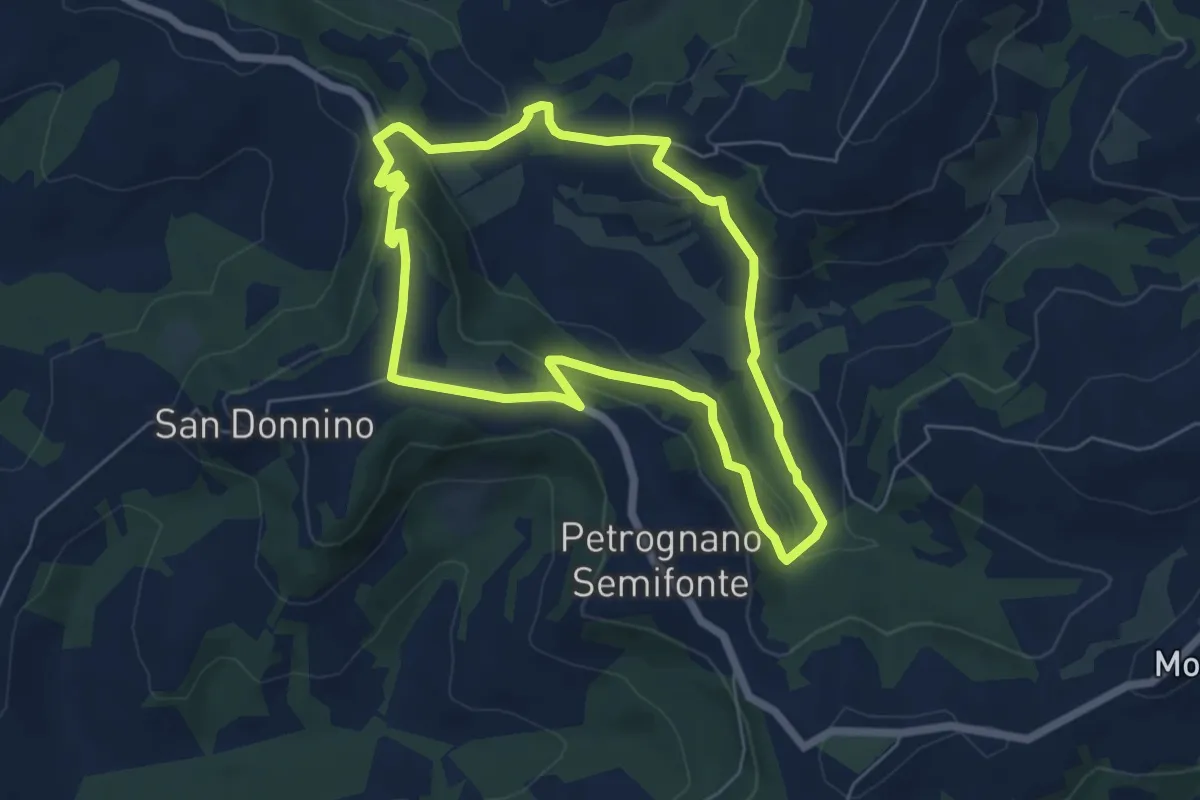
Easy · Trail
Anello di Santa Caterina
5.9 km · ↑ 198 m · 1 h 55 min · 13 km away
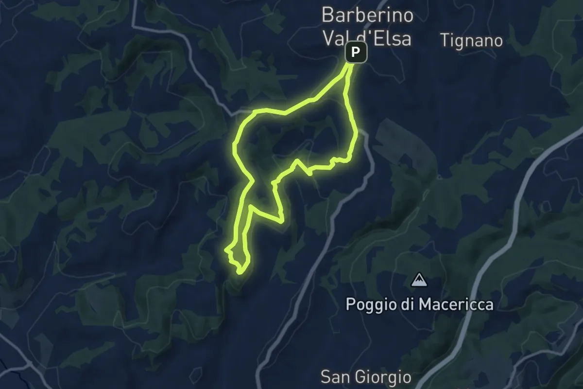
Medium · Summit
Barberino VE – Sant'Appiano
9.5 km · ↑ 249 m · 2 h 55 min · 13 km away
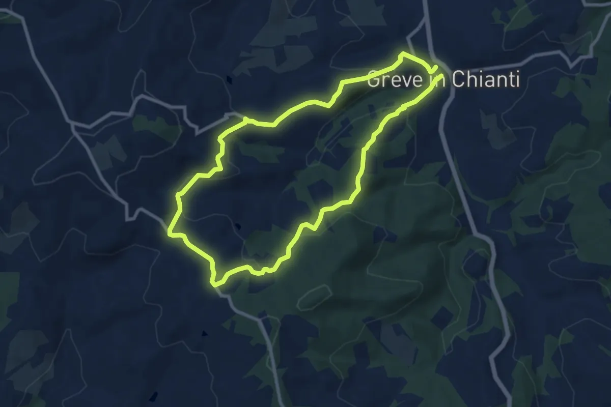
Easy · Trail
Anello Montefioralle
7.8 km · ↑ 290 m · 2 h 35 min · 13 km away
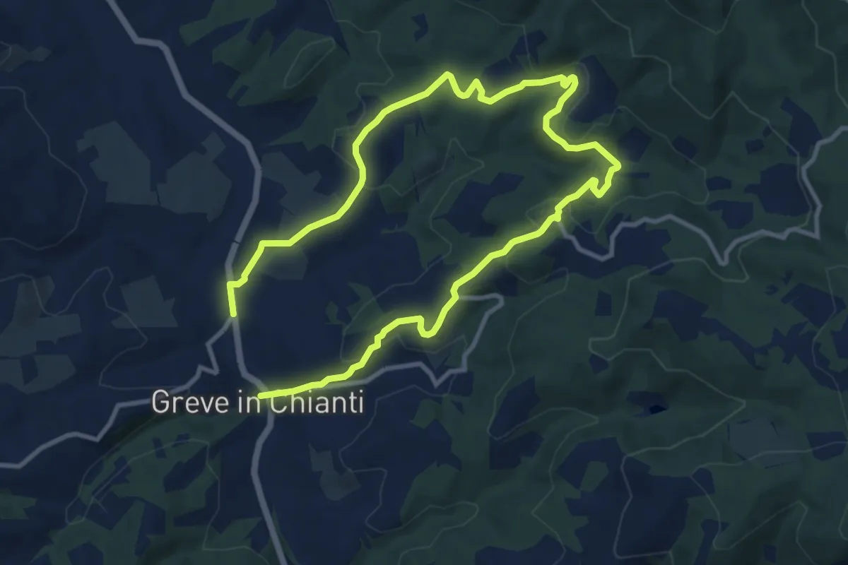
Medium · Trail
Anello di Uzzano
16.2 km · ↑ 504 m · 4 h 54 min · 13 km away
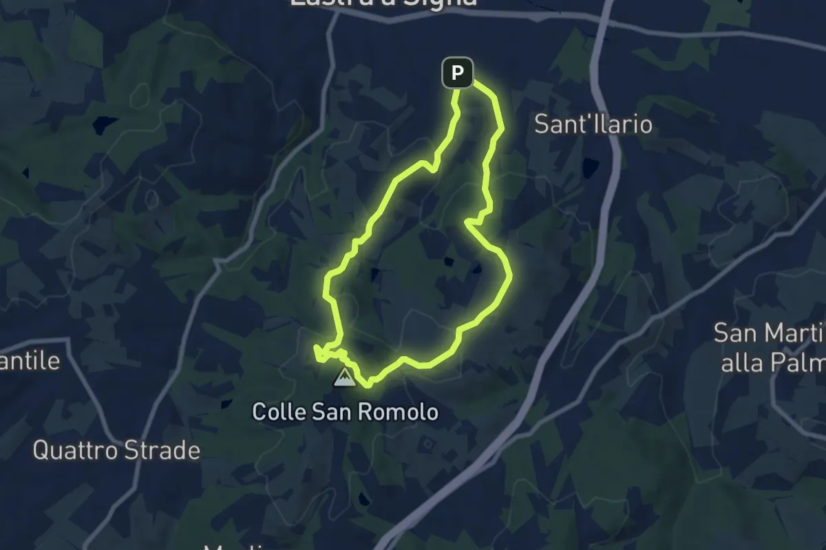
Easy · Summit
Anello di San-Romolo
6.6 km · ↑ 247 m · 2 h 11 min · 13 km away
Medium · Trail
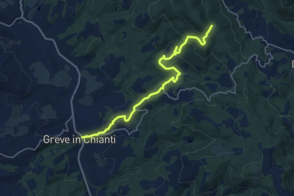
Greve – Rugliana
13.0 km · ↑ 602 m · 4 h 22 min · 13 km away
Medium · Trail
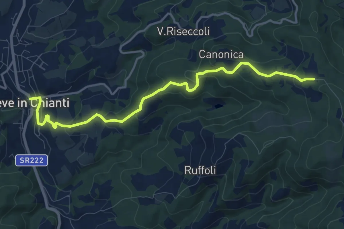
Greve – Piano di Canonica
10.7 km · ↑ 415 m · 3 h 26 min · 13 km away
Easy · Summit
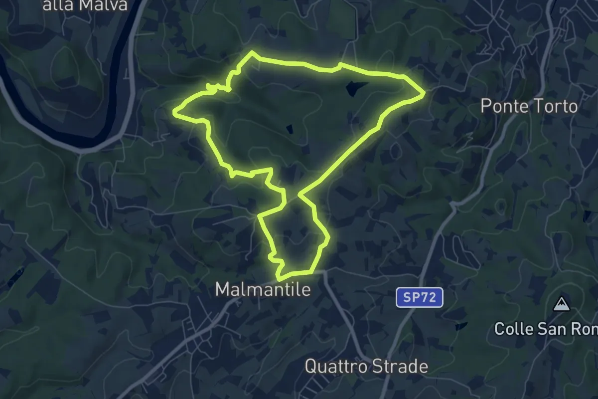
Anello di Lecceto
7.5 km · ↑ 199 m · 2 h 18 min · 14 km away
Medium · Summit
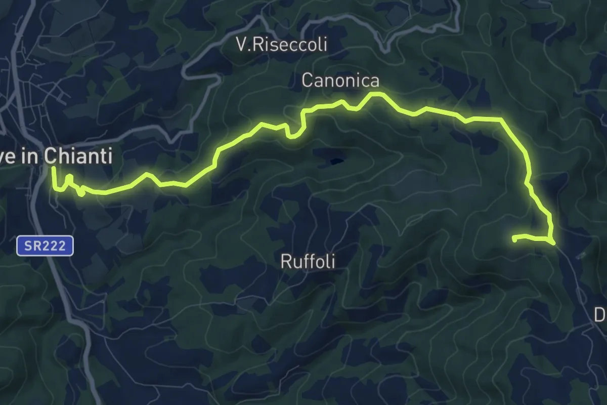
Anello di Ruffoli
13.6 km · ↑ 503 m · 4 h 19 min · 14 km away
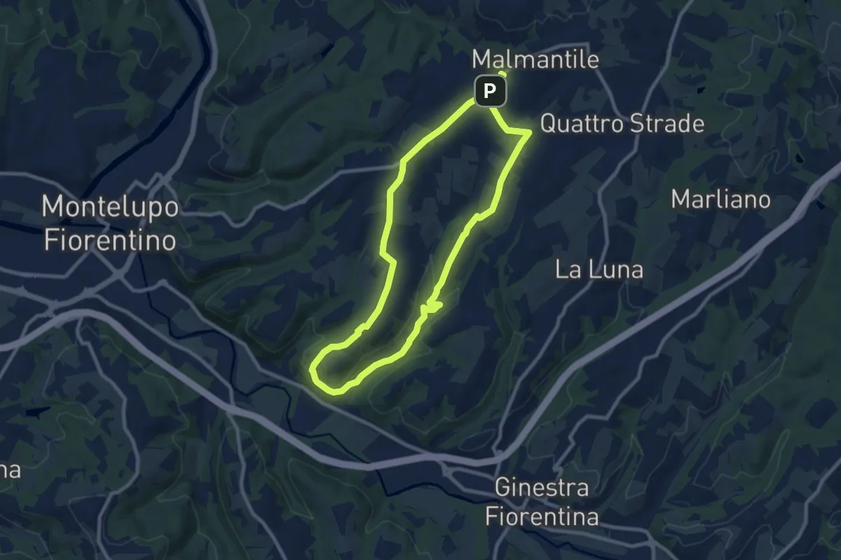
Medium · Trail
Malmantile – Malmantile
8.5 km · ↑ 145 m · 2 h 26 min · 14 km away
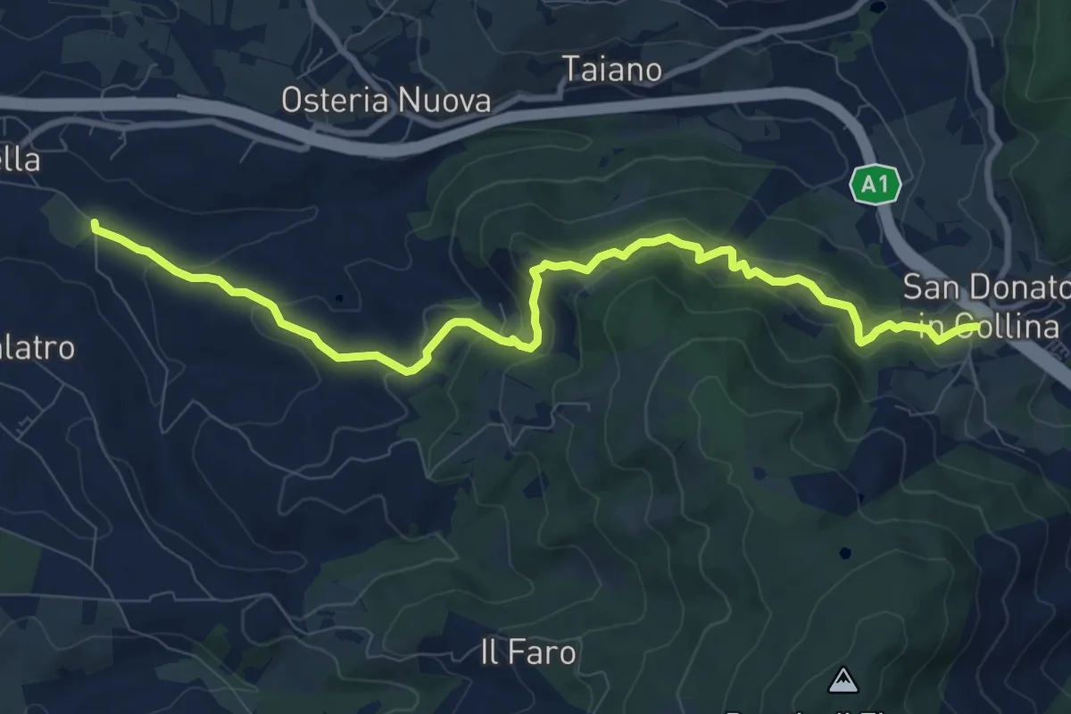
Medium · Trail
Antella – San Donato in Collina
10.9 km · ↑ 473 m · 3 h 35 min · 14 km away
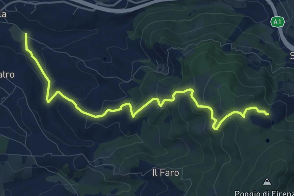
Medium · Trail
Antella – Poggio Piglie
11.5 km · ↑ 524 m · 3 h 51 min · 14 km away
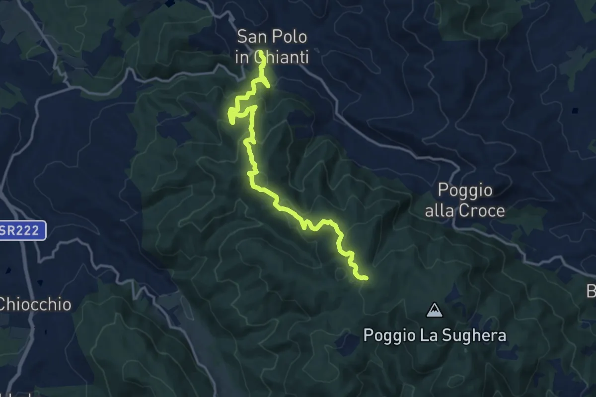
Medium · Trail
San Polo in Chianti – Croce ai Trogoli
13.6 km · ↑ 767 m · 4 h 53 min · 14 km away
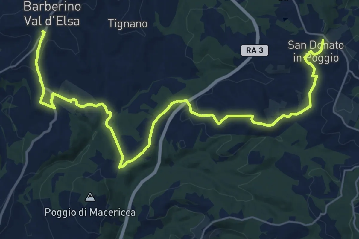
Medium · Trail
San Donato in Poggio – Barberino Val d'Elsa
11.2 km · ↑ 254 m · 3 h 23 min · 14 km away
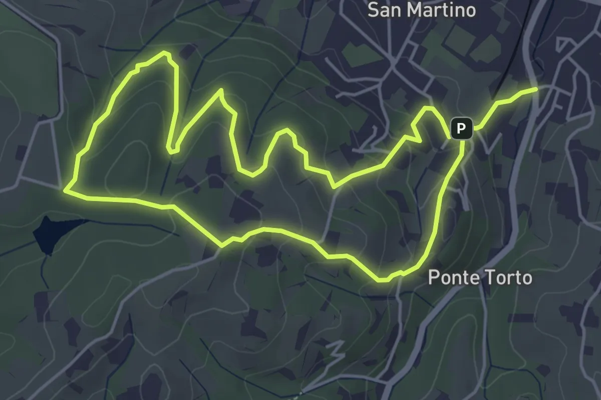
Easy · Trail
Anello Villa Caruso
4.9 km · ↑ 243 m · 1 h 46 min · 14 km away
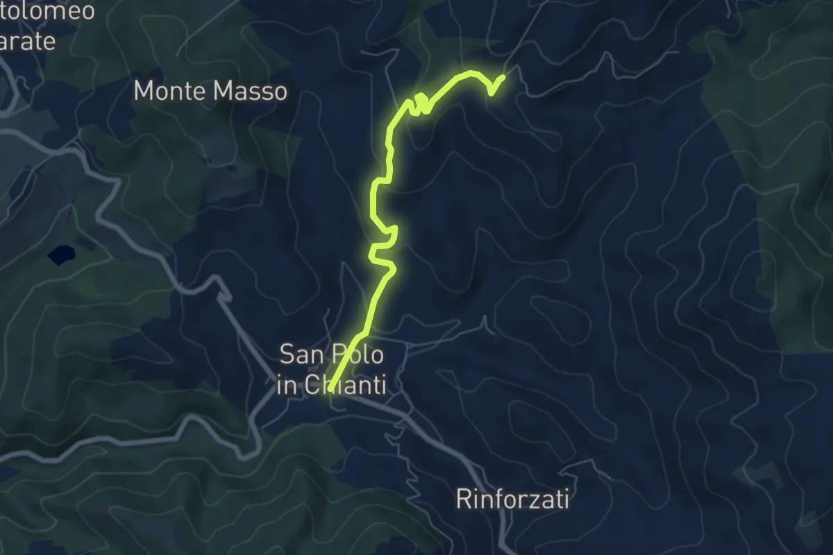
Easy · Trail
San Polo in Chianti – San Clemente in Panzalla
6.1 km · ↑ 234 m · 1 h 57 min · 14 km away
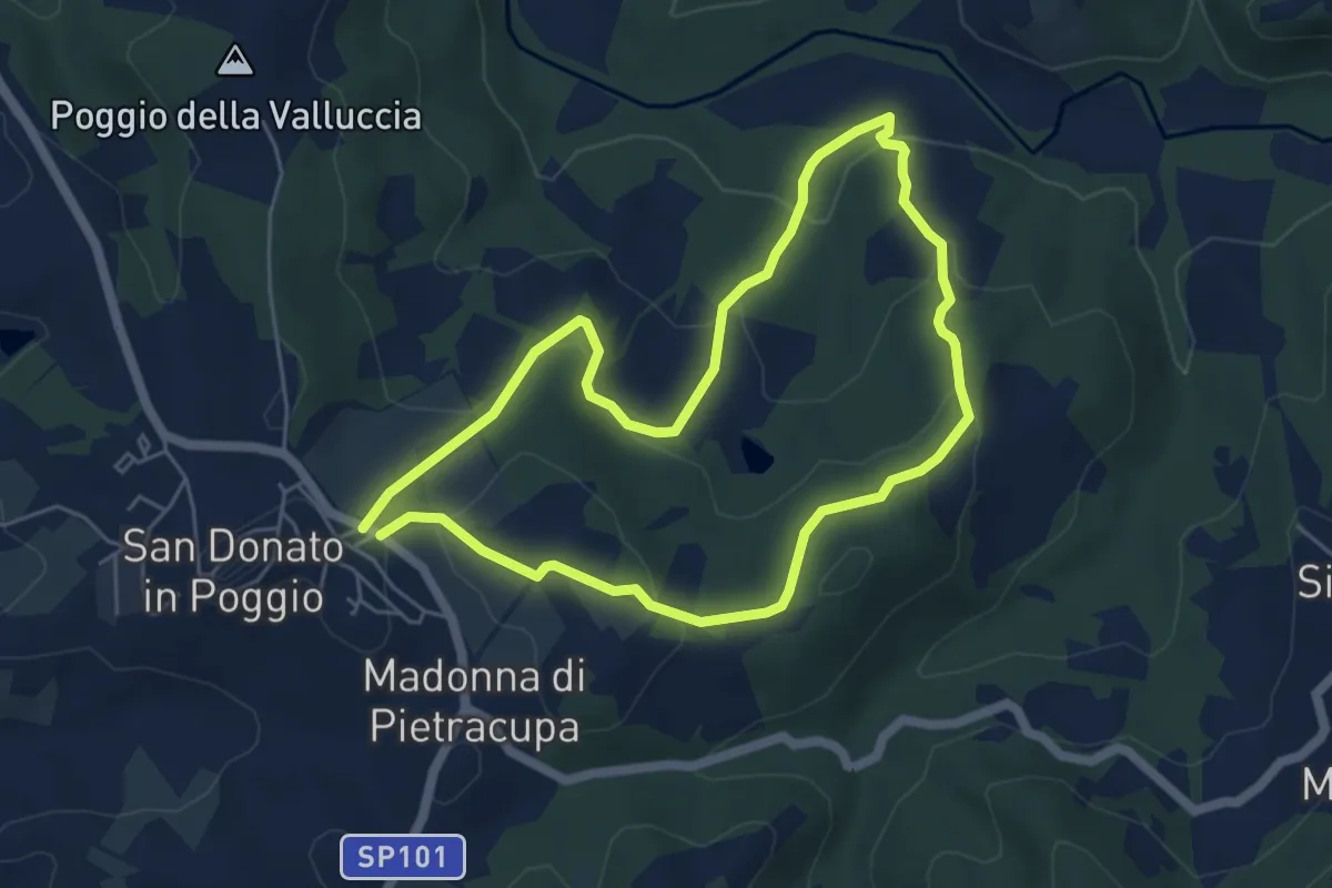
Easy · Trail
San Donato in Poggio – San Donato in Poggio
5.3 km · ↑ 194 m · 1 h 45 min · 14 km away
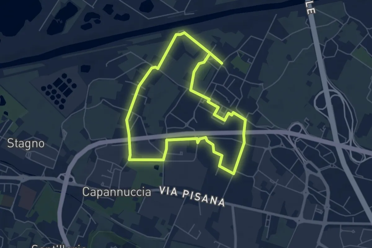
Easy · Trail
Badia a Settimo - Variante sentiero dei 3 Fiumi
5.8 km · ↑ 0 m · 1 h 26 min · 14 km away
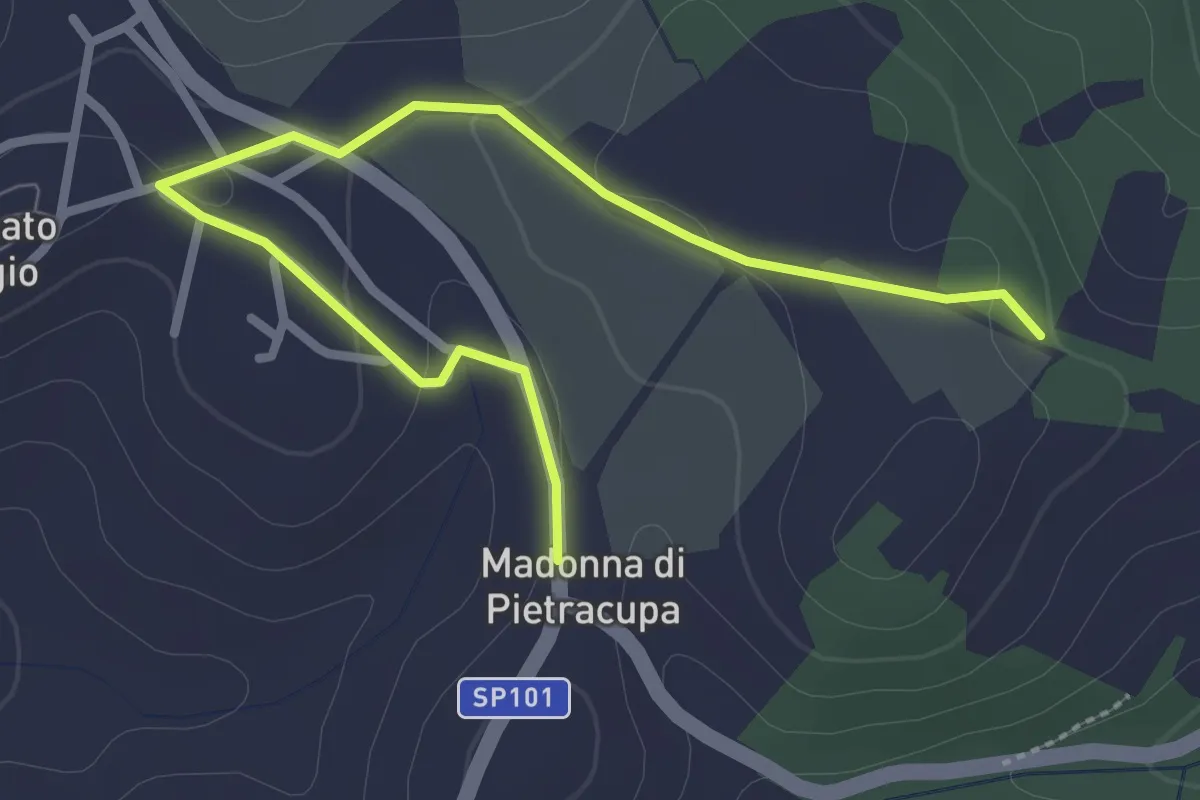
Easy · Trail
Via Romea del Chianti - alternate
3.4 km · ↑ 52 m · 54 min · 15 km away
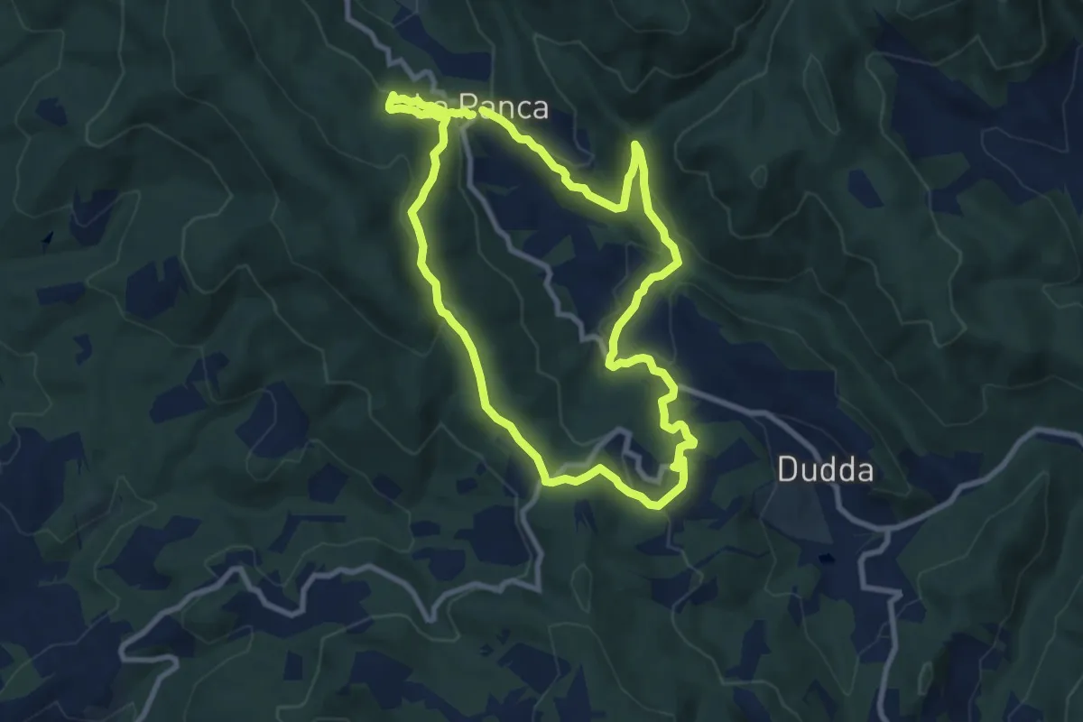
Medium · Trail
Sentiero della Memoria Greve
8.8 km · ↑ 307 m · 2 h 51 min · 15 km away
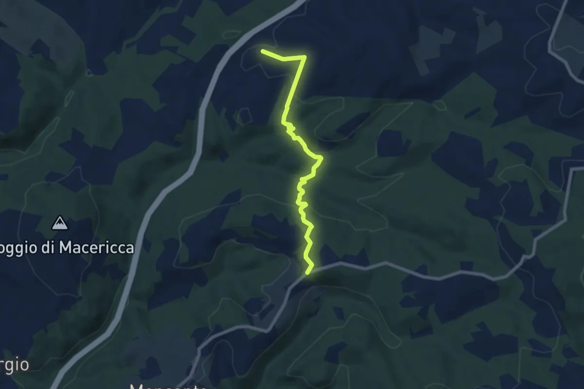
Easy · Trail
Prumiano - bivio strada Paneretta (Le Cantine)
6.4 km · ↑ 172 m · 1 h 53 min · 15 km away
Medium · Trail
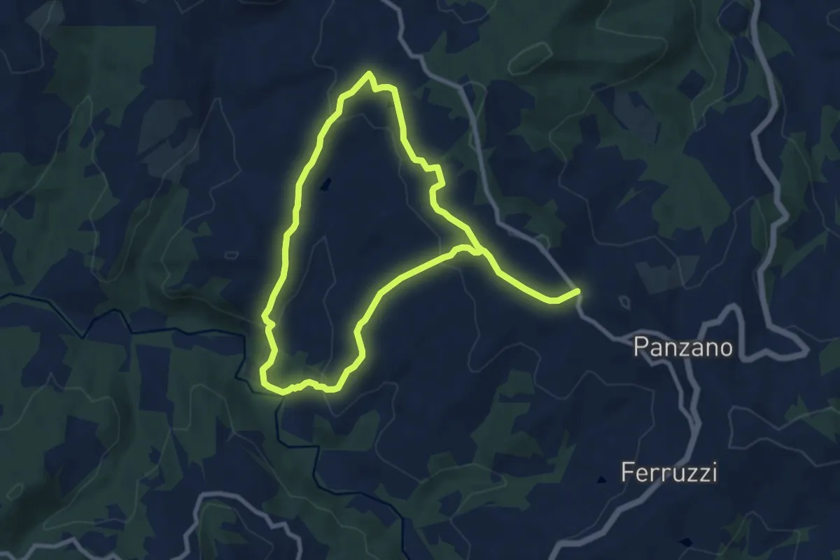
Anello della Pesa da Panzano
15.2 km · ↑ 539 m · 4 h 45 min · 15 km away
Demanding · Trail
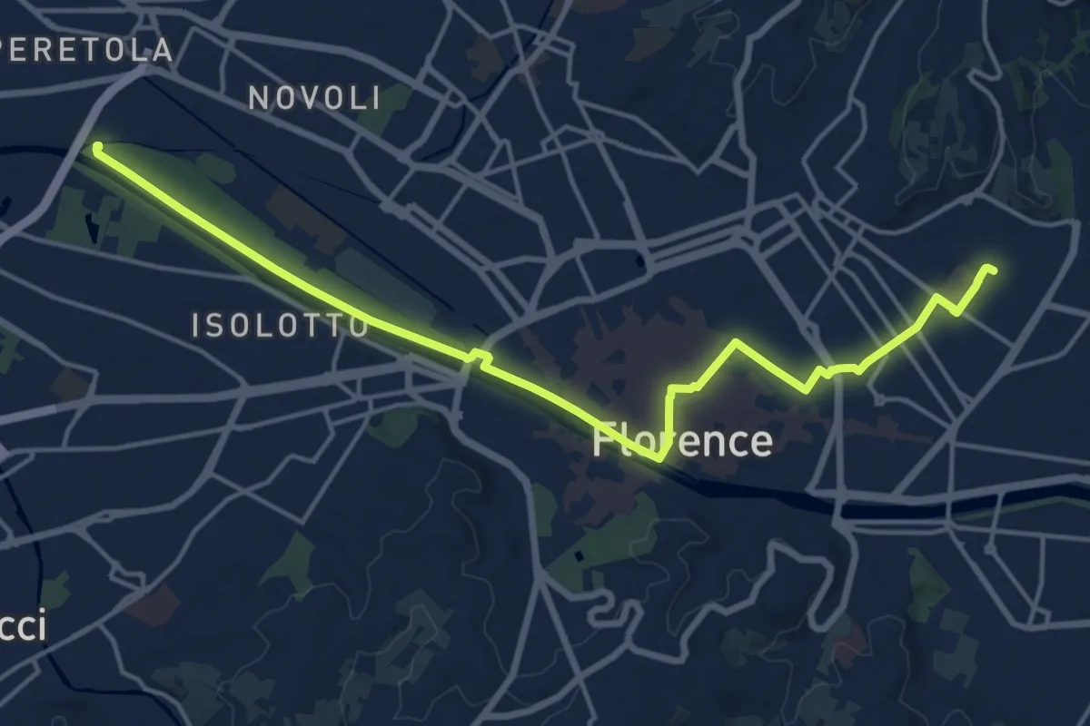
Tappa 6 - Attraverso Firenze
18.6 km · ↑ 58 m · 4 h 31 min · 15 km away
Medium · Summit
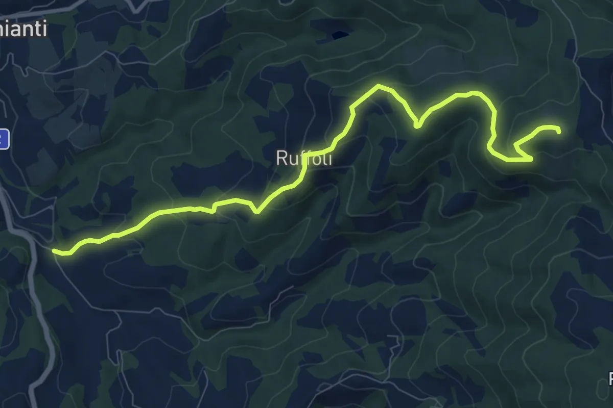
Greve – Monte Domini
10.6 km · ↑ 504 m · 3 h 35 min · 15 km away