Trails near San Cesareo
58 hikes starting within 15 km, nearest first.
Nearest first, page 1 of 2
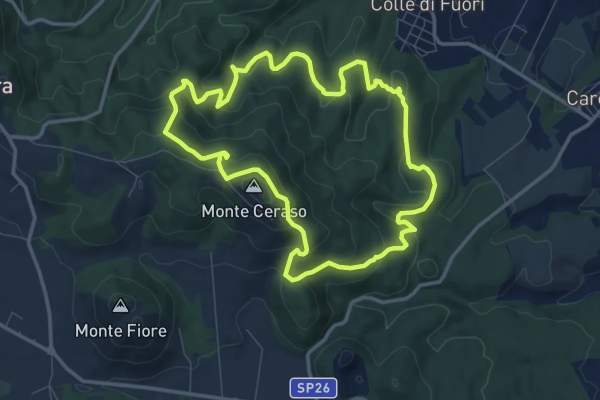
Medium · Summit
Circuito delle Fonti di Rocca Priora
8.6 km · ↑ 394 m · 3 h 1 min · 4 km away
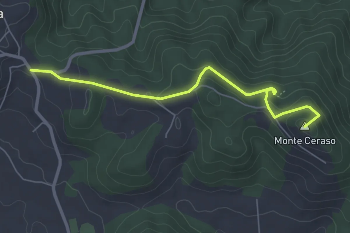
Easy · Summit
Rocca Priora - Bosco del Cerquone
5.4 km · ↑ 171 m · 1 h 38 min · 4 km away
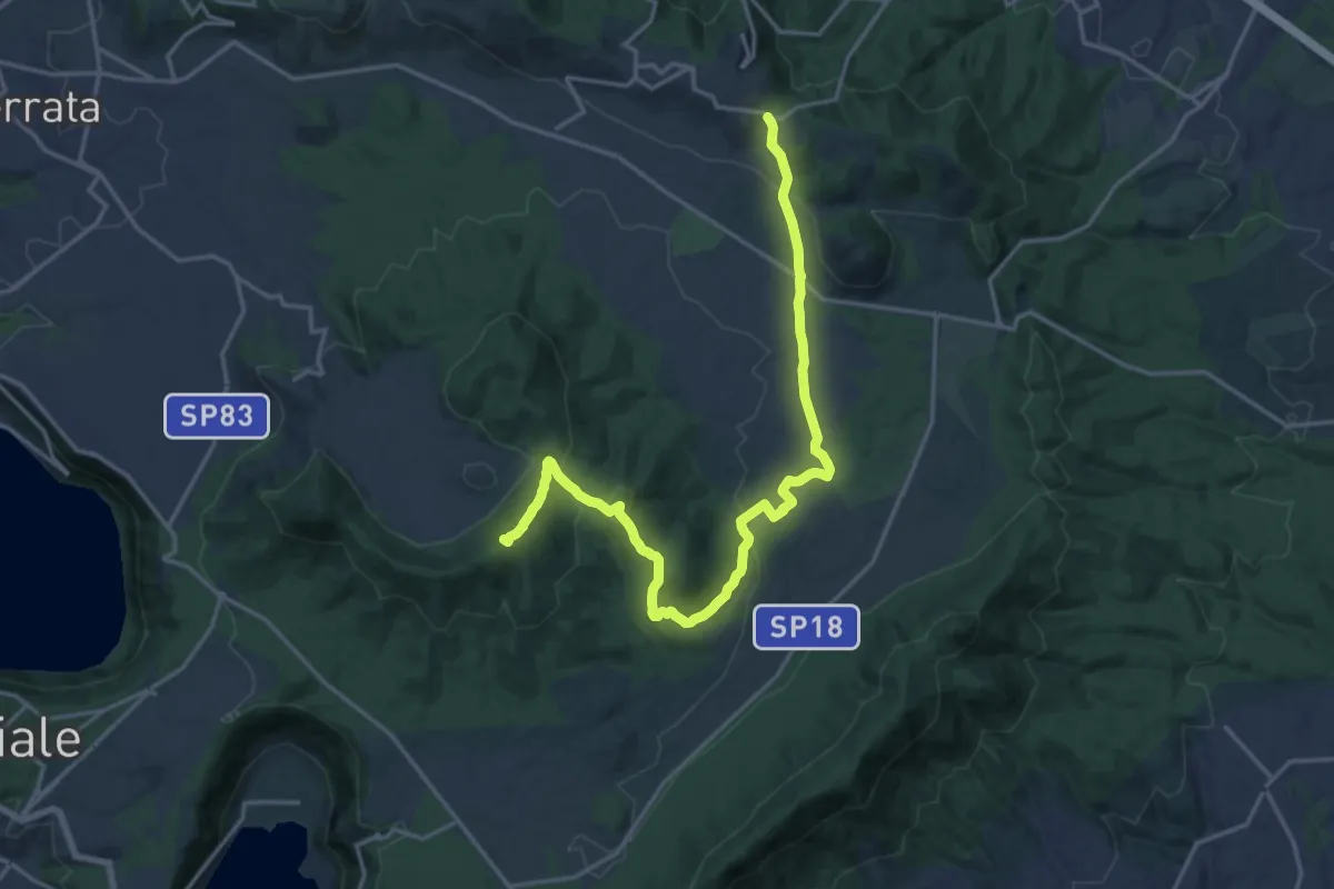
Demanding · Summit
CNP - 02 - Castel Gandolfo - Rocca Priora
21.3 km · ↑ 574 m · 6 h 16 min · 4 km away
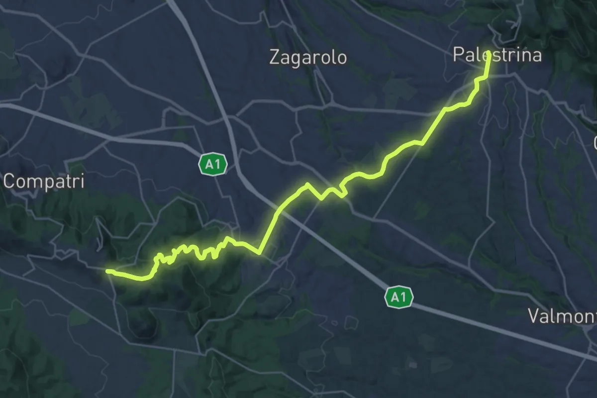
Medium · Trail
CNP - 03 - Rocca Priora - Palestrina
16.1 km · ↑ 282 m · 4 h 44 min · 4 km away
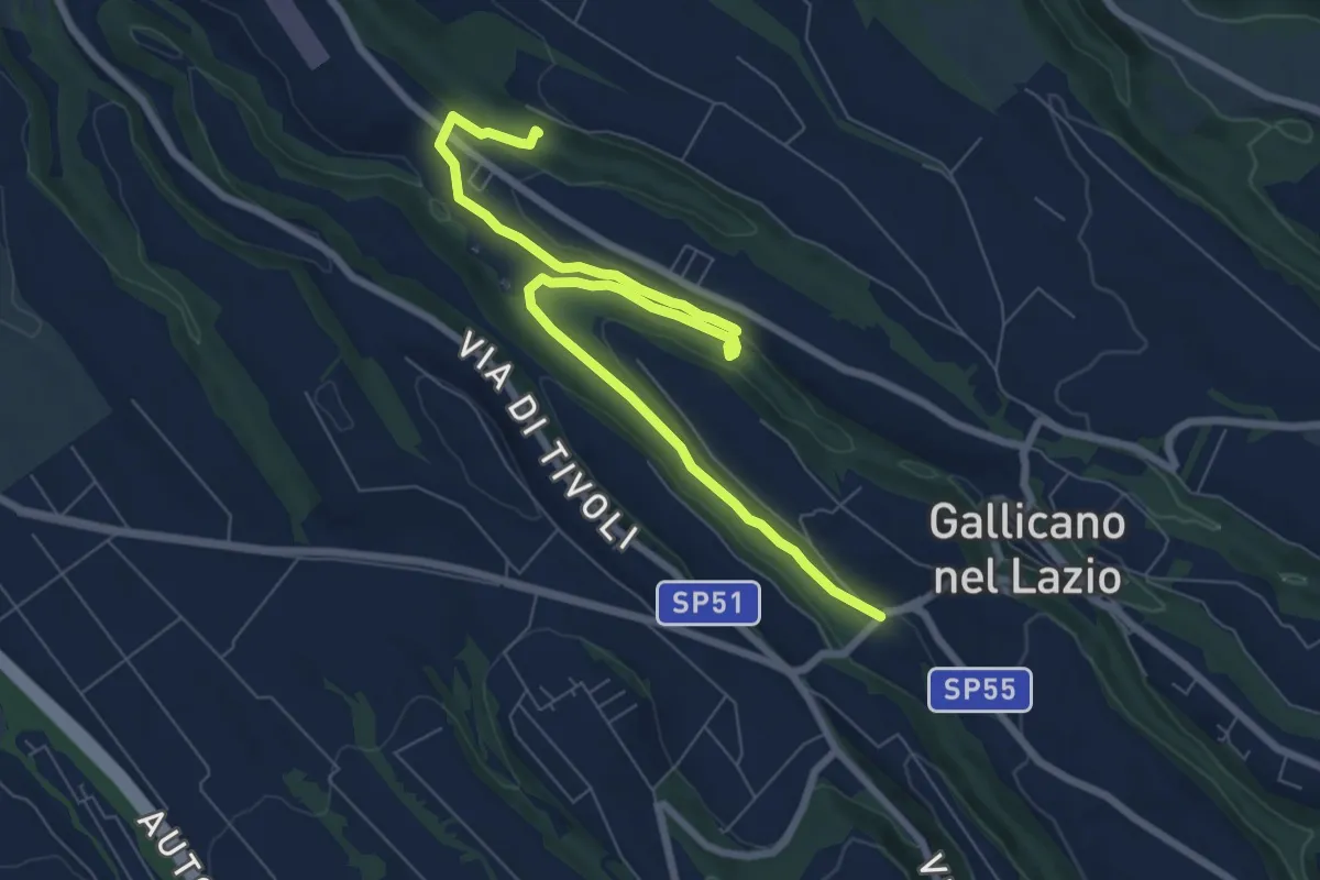
Medium · Trail
Acquedotti di Gallicano
9.7 km · ↑ 137 m · 2 h 35 min · 6 km away
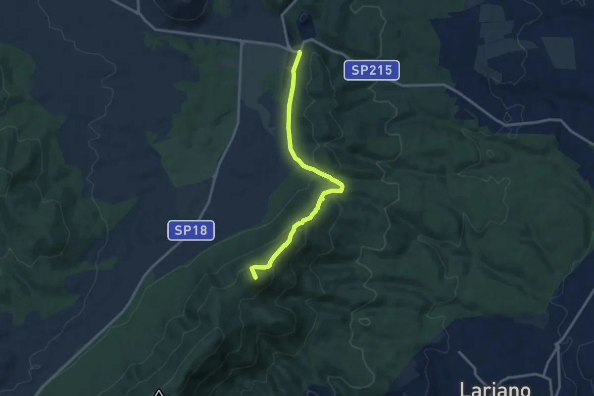
Medium · Summit
Doganella-Passo del Lupo
8.7 km · ↑ 372 m · 2 h 52 min · 6 km away
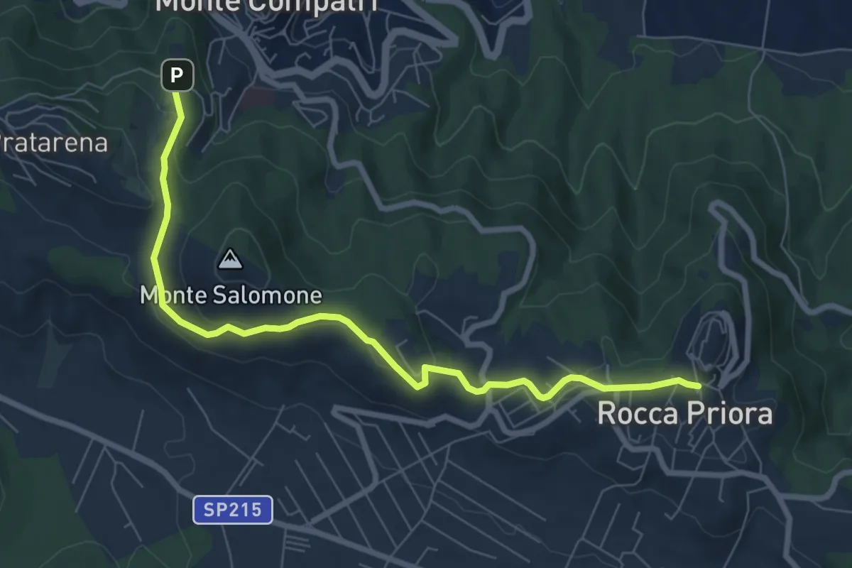
Medium · Trail
Montecompatri - Rocca Priora
8.3 km · ↑ 250 m · 2 h 30 min · 6 km away
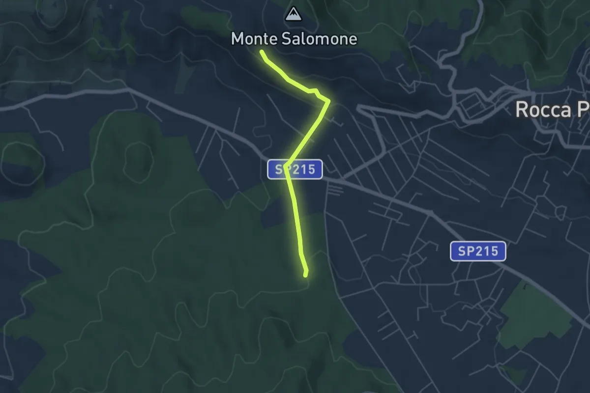
Easy · Trail
Percorso 508 – Percorso 503
4.3 km · ↑ 154 m · 1 h 21 min · 6 km away
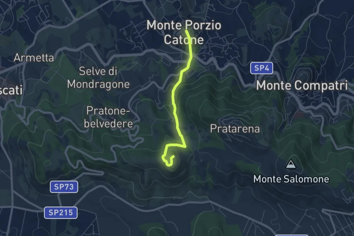
Easy · Summit
Monte Porzio Catone – Monte Tuscolo
5.6 km · ↑ 274 m · 1 h 55 min · 7 km away
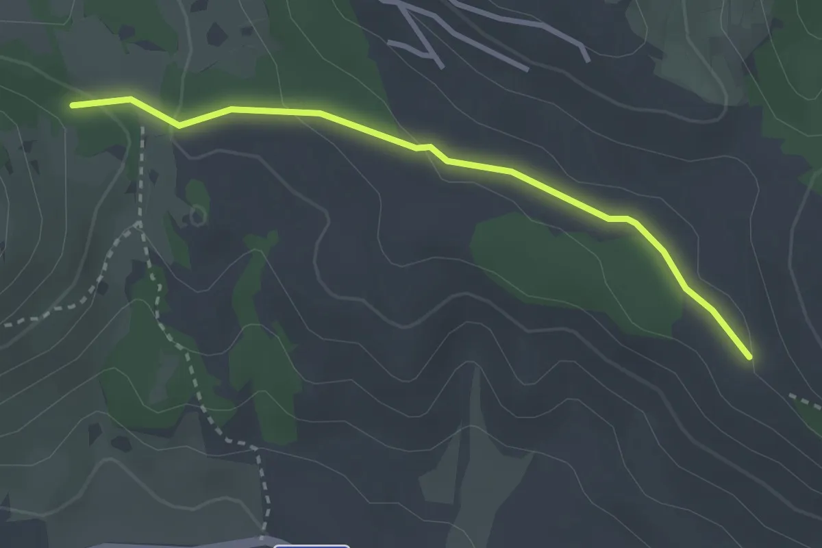
Easy · Trail
Intersezione con CAI 502 – Intersezione con CAI 503
3.1 km · ↑ 75 m · 53 min · 7 km away
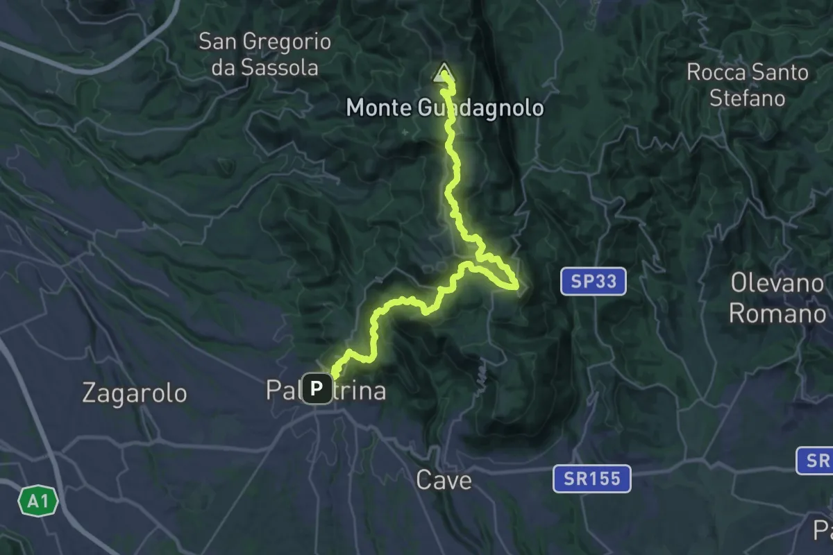
Demanding · Summit
CNP - 04 - Palestrina - Guadagnolo
36.4 km · ↑ 1613 m · 12 h 5 min · 8 km away
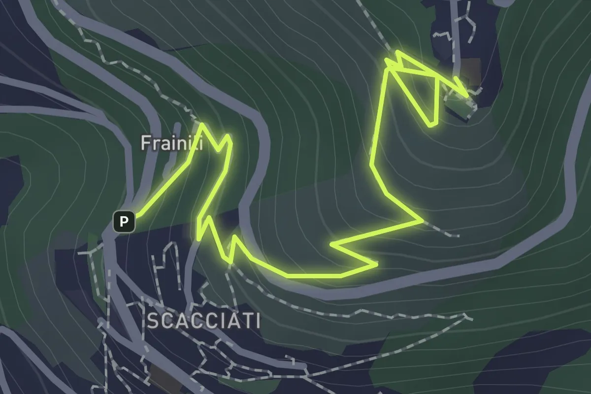
Medium · Trail
Sentiero Storico Formale - La Costa
3.0 km · ↑ 210 m · 1 h 10 min · 8 km away
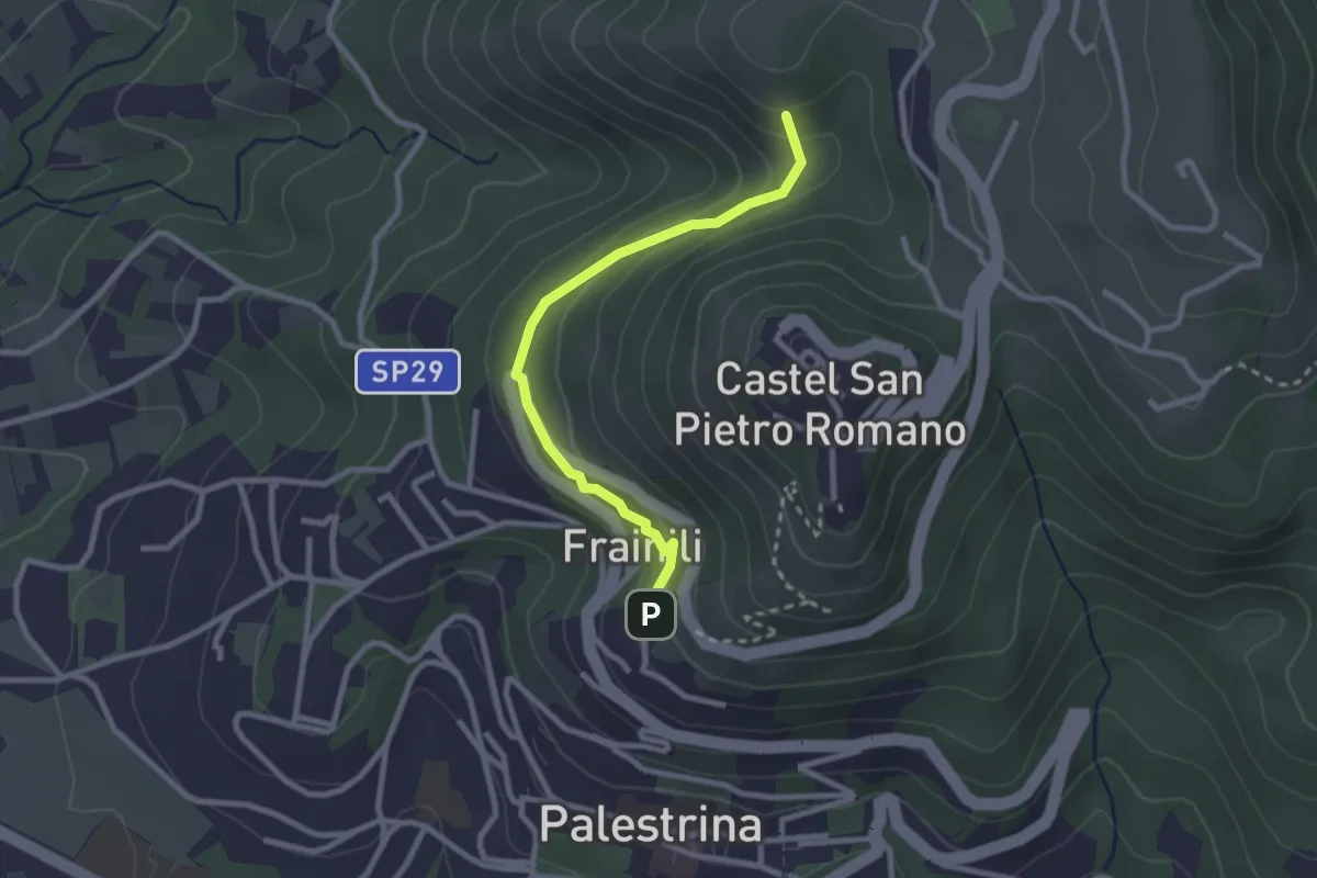
Easy · Summit
Castel S.Pietro Romano Loc. Fontana Nuova – Palestrina - Franili
2.7 km · ↑ 112 m · 53 min · 8 km away
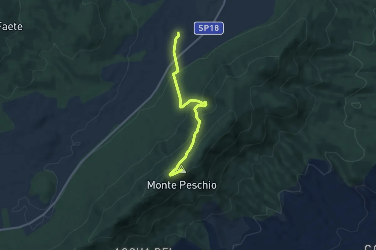
Medium · Summit
Pratoni del Vivaro - Fontana Marcaccio
7.0 km · ↑ 360 m · 2 h 26 min · 9 km away
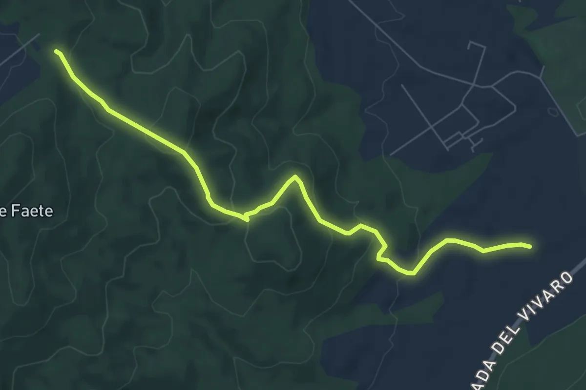
Easy · Trail
Pratoni del Vivaro (Circolo Ippico F.I.S.E.) – La Forcella
7.9 km · ↑ 297 m · 2 h 30 min · 9 km away
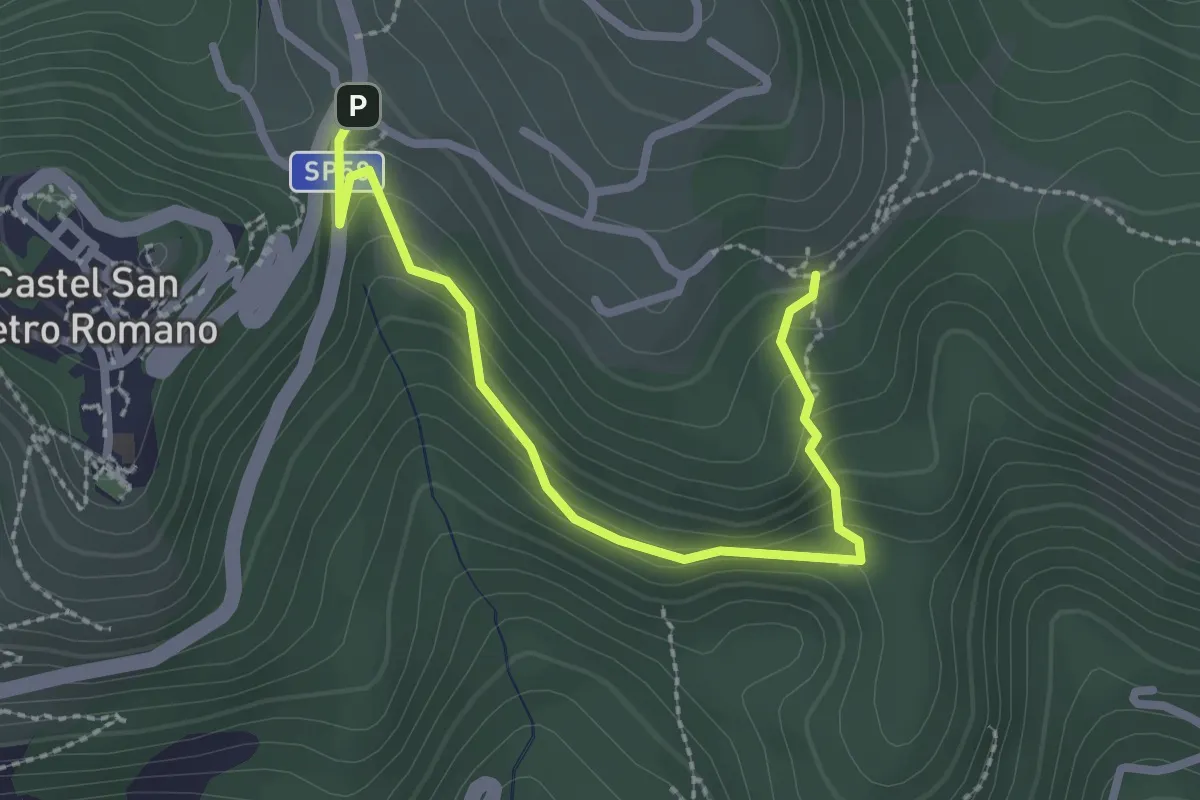
Easy · Trail
Castel San Pietro Romano, Località Fontana Nuova – Localià "I Colli" - Incrocio percorso 509
2.9 km · ↑ 151 m · 1 h · 9 km away
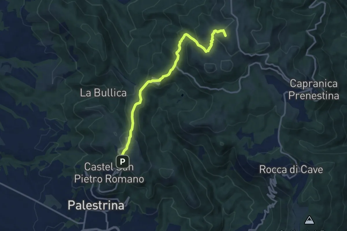
Medium · Summit
Castel San Pietro Romano-Colle Cialdea
10.6 km · ↑ 452 m · 3 h 29 min · 9 km away
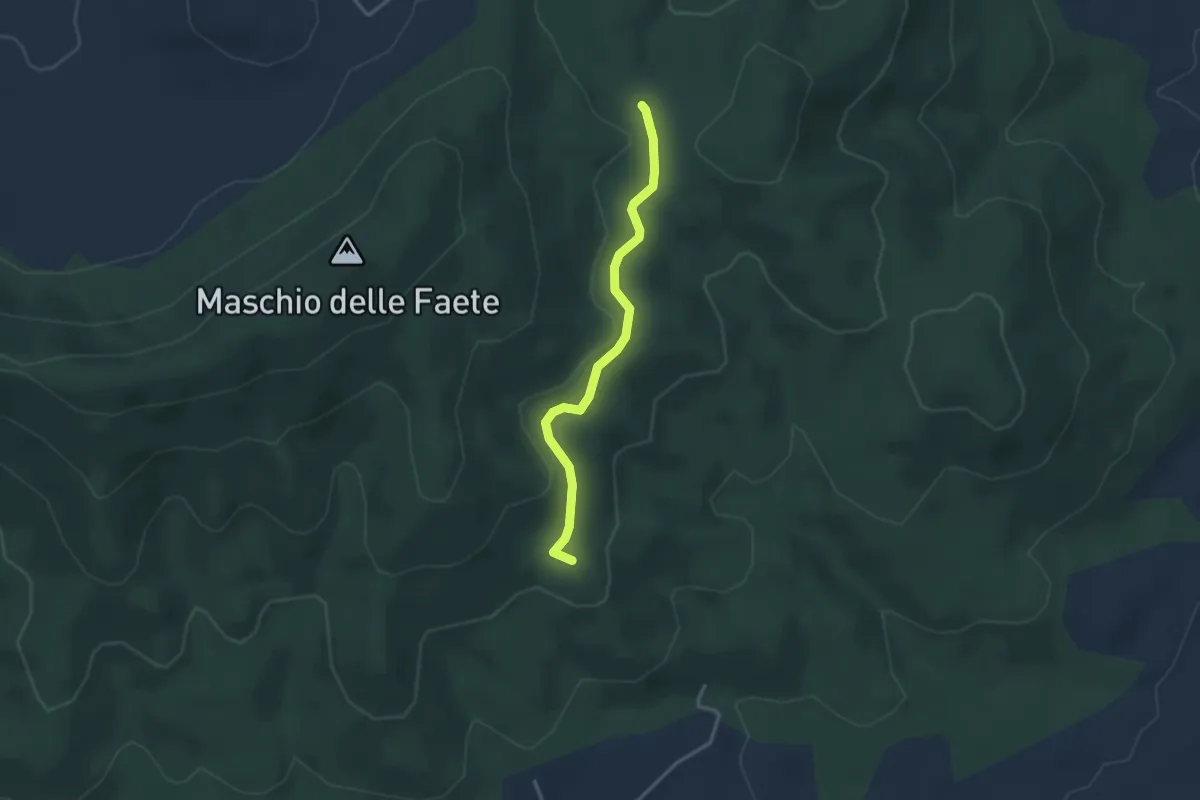
Easy · Summit
CAI 517 – CAI 516
3.2 km · ↑ 53 m · 52 min · 9 km away
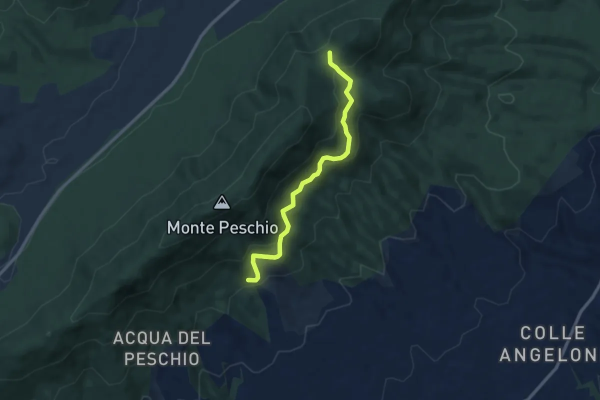
Medium · Trail
Fontana Marcaccio-Passo del Lupo
6.6 km · ↑ 341 m · 2 h 17 min · 9 km away
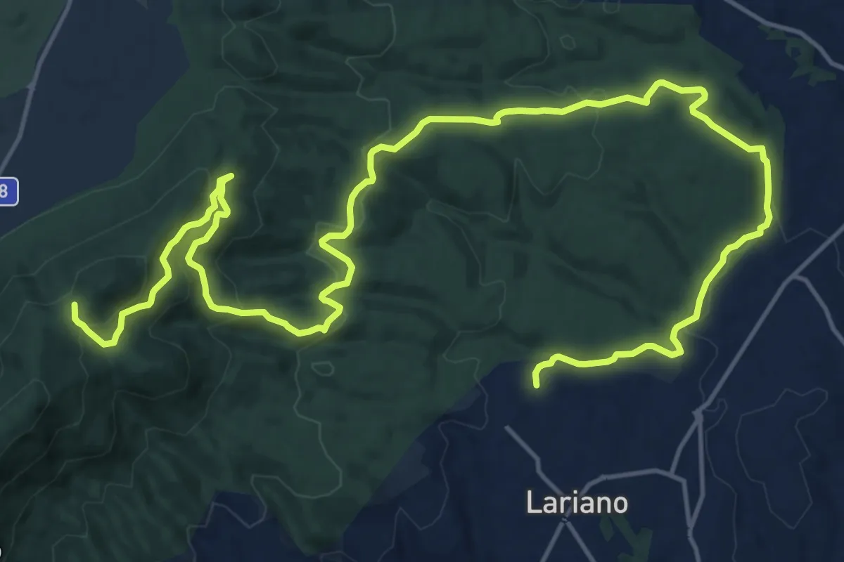
Demanding · Trail
Lariano, via Vittoria Colonna – Passo del Lupo
25.1 km · ↑ 802 m · 7 h 40 min · 9 km away
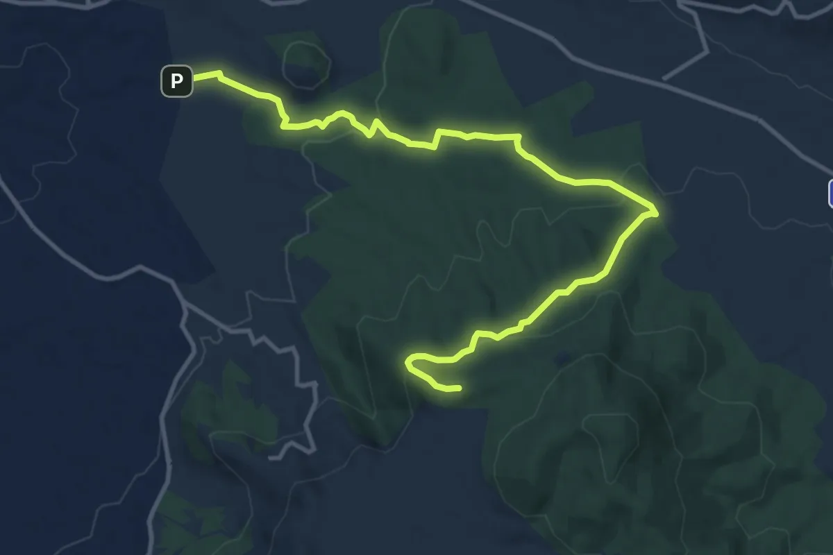
Medium · Summit
Campi d’Annibale – Grottaferrata (via dei Peschi)
13.6 km · ↑ 395 m · 4 h 4 min · 9 km away
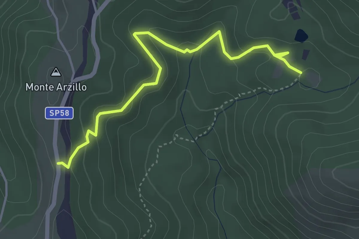
Medium · Trail
SP58a altezza Casale delle Ginestre – Innesto su sentiero 509
4.3 km · ↑ 178 m · 1 h 24 min · 9 km away
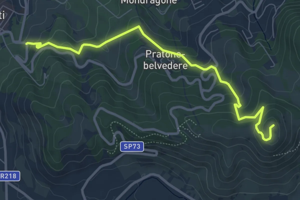
Medium · Summit
Frascati – Monte Tuscolo
7.3 km · ↑ 329 m · 2 h 27 min · 10 km away
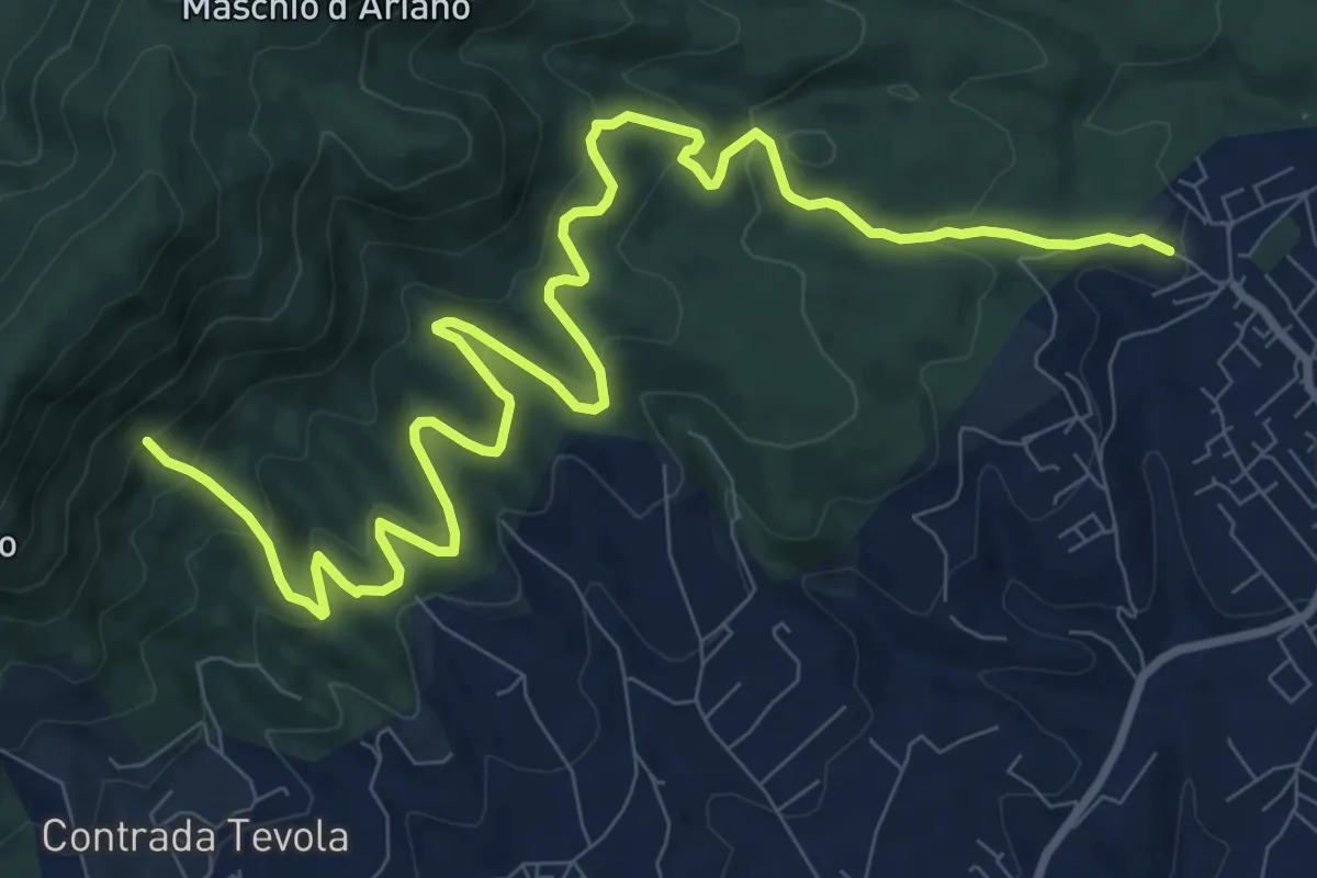
Medium · Cabin
Lariano-Casa del Parco Artemisio
14.0 km · ↑ 698 m · 4 h 49 min · 10 km away
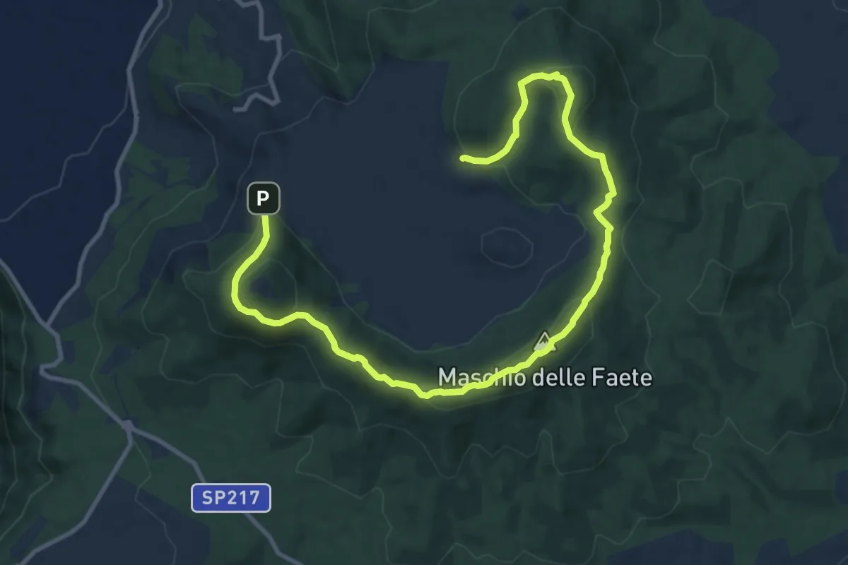
Medium · Summit
Circuito delle Faete di Rocca di Papa
7.0 km · ↑ 311 m · 2 h 26 min · 10 km away
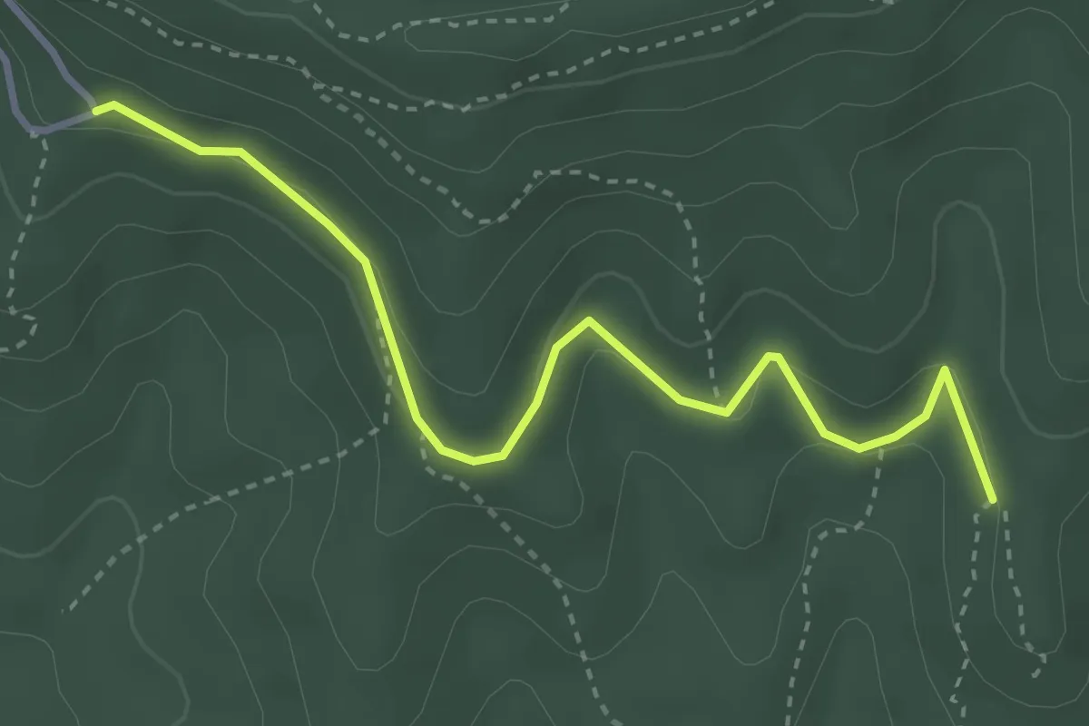
Easy · Trail
CAI 516 – Via di Monte Cavo
3.9 km · ↑ 122 m · 1 h 11 min · 11 km away
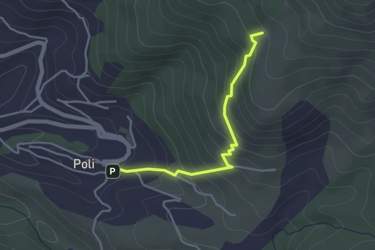
Medium · Summit
Poli – Loc. Le Prata su sent.515
3.1 km · ↑ 283 m · 1 h 21 min · 11 km away
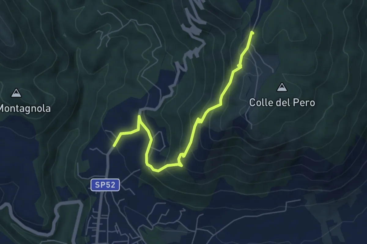
Medium · Summit
Cave - ex Stazione – Capranica Prenestina
6.3 km · ↑ 423 m · 2 h 24 min · 11 km away
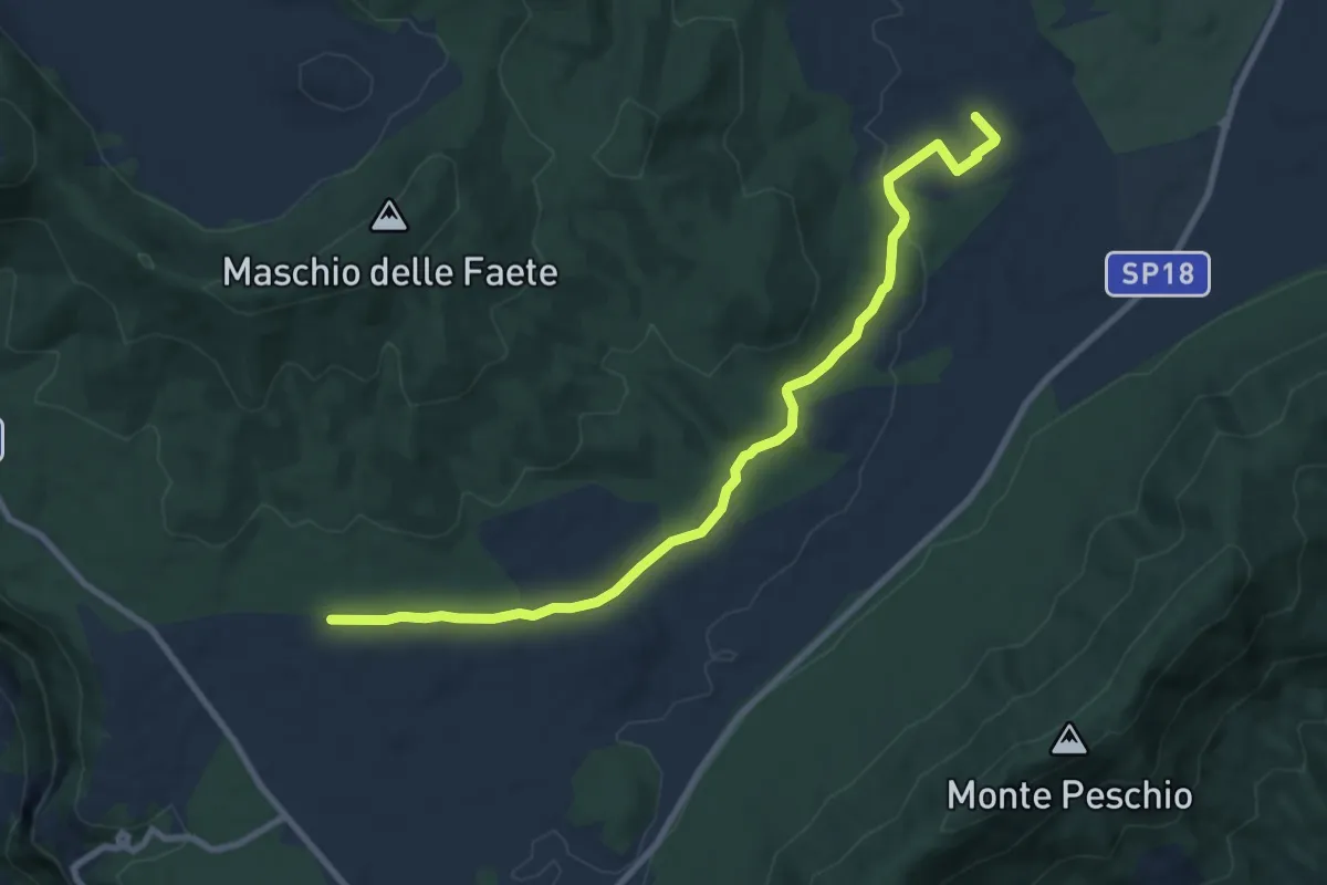
Medium · Trail
CAI 516 (via dei Corsi) – Casa del Parco, Pratoni del Vivaro
10.2 km · ↑ 137 m · 2 h 43 min · 12 km away
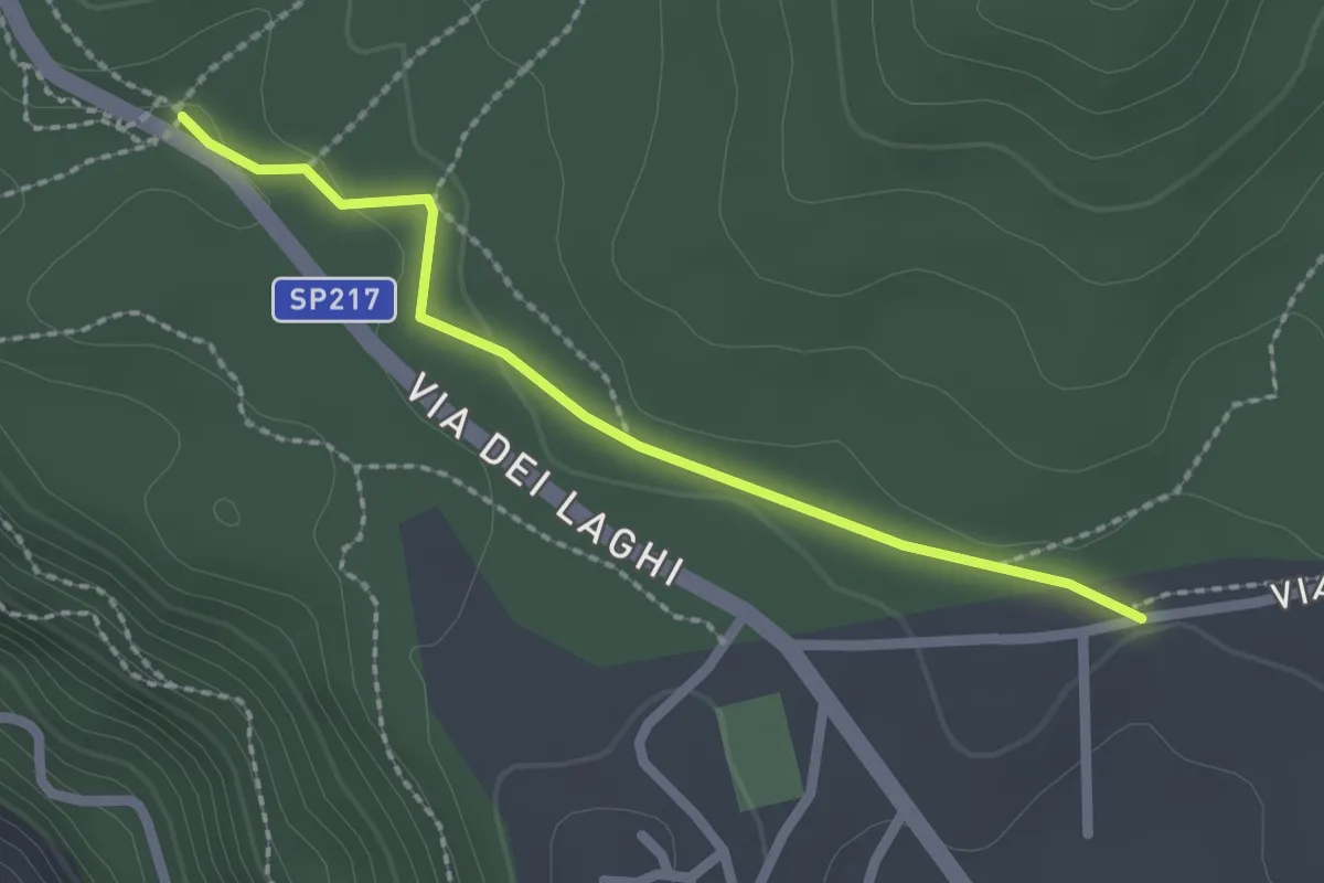
Easy · Trail
CAI 512 – CAI 516
2.3 km · ↑ 39 m · 37 min · 12 km away
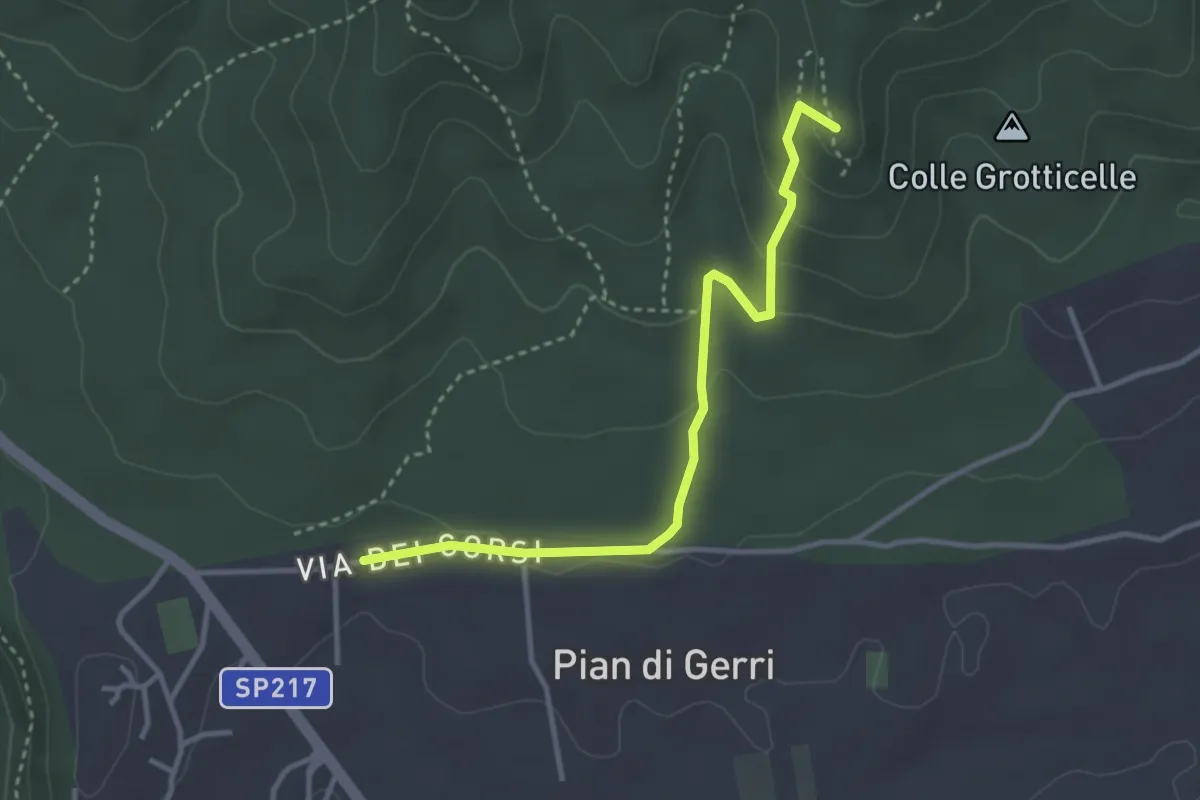
Medium · Summit
Via dei Corsi - Maschio delle Faete
3.7 km · ↑ 137 m · 1 h 10 min · 12 km away
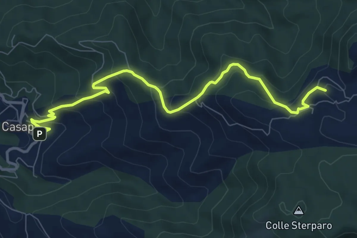
Medium · Summit
Casape – Guadagnolo
8.8 km · ↑ 548 m · 3 h 16 min · 12 km away
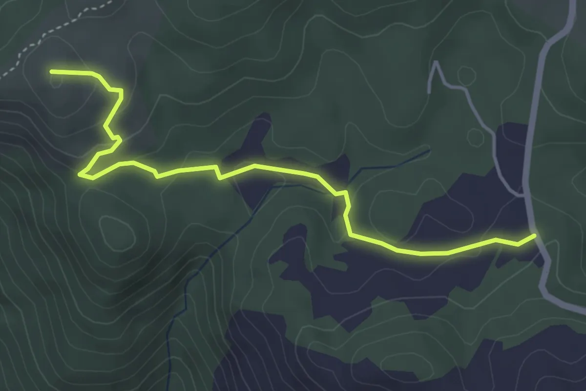
Easy · Summit
Percorso 508 – Percorso 509
4.6 km · ↑ 168 m · 1 h 27 min · 12 km away
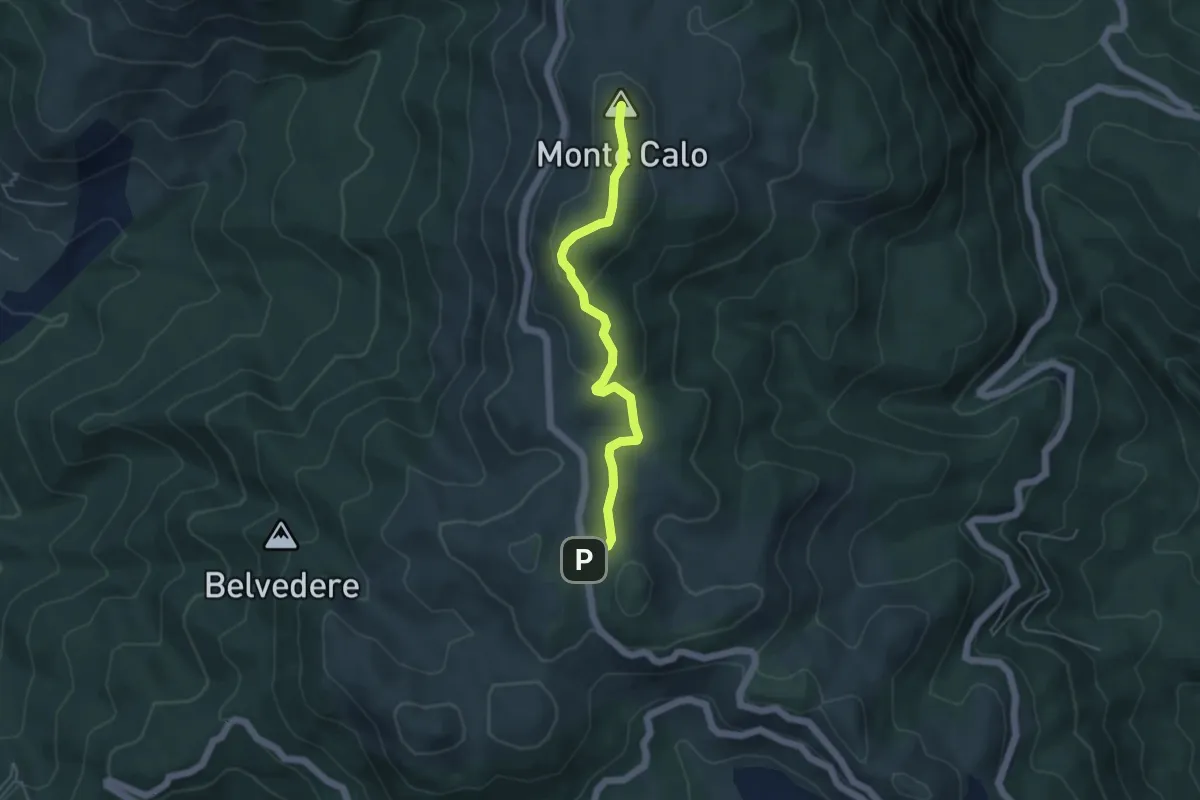
Medium · Summit
strada SP45b coordinate UTM 33T E328284 N4637831 – Monte Calo
4.8 km · ↑ 143 m · 1 h 27 min · 12 km away
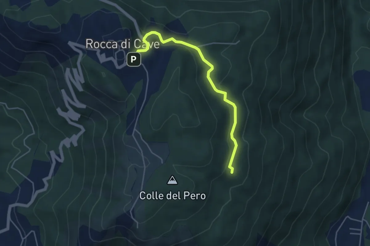
Easy · Trail
Rocca di Cave - Via Capranica P. incrocio Via Genazzano – Incrocio sentiero 503
4.2 km · ↑ 184 m · 1 h 24 min · 12 km away
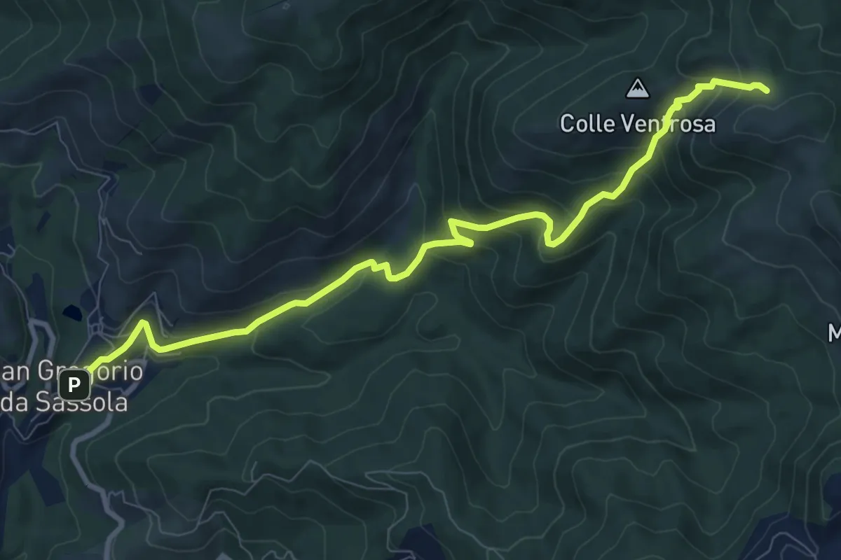
Medium · Trail
San Gregorio da Sassola – Innesto su sentiero 500
10.5 km · ↑ 657 m · 3 h 54 min · 12 km away
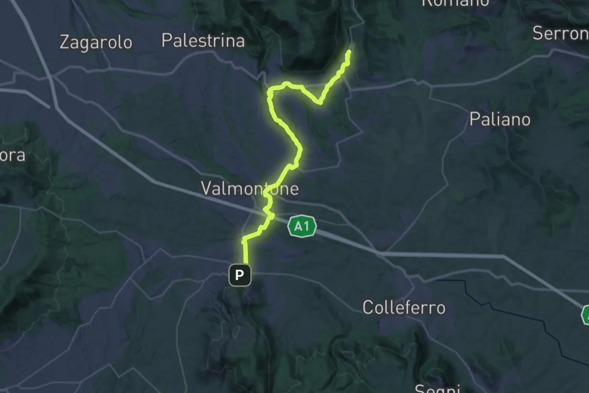
Medium · Trail
Cammino di San Tommaso - Tappa 3
18.0 km · ↑ 341 m · 5 h 12 min · 13 km away
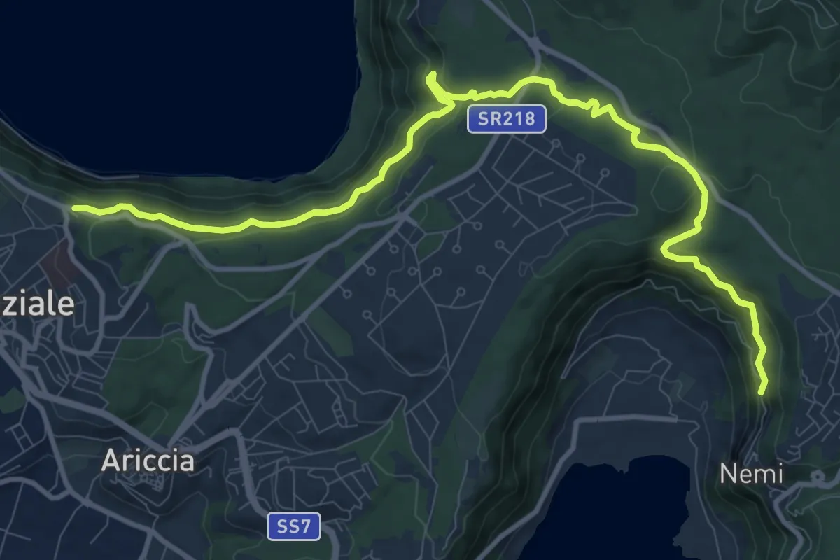
Medium · Trail
Cappuccini di Albano – Lago di Nemi
6.6 km · ↑ 325 m · 2 h 23 min · 13 km away
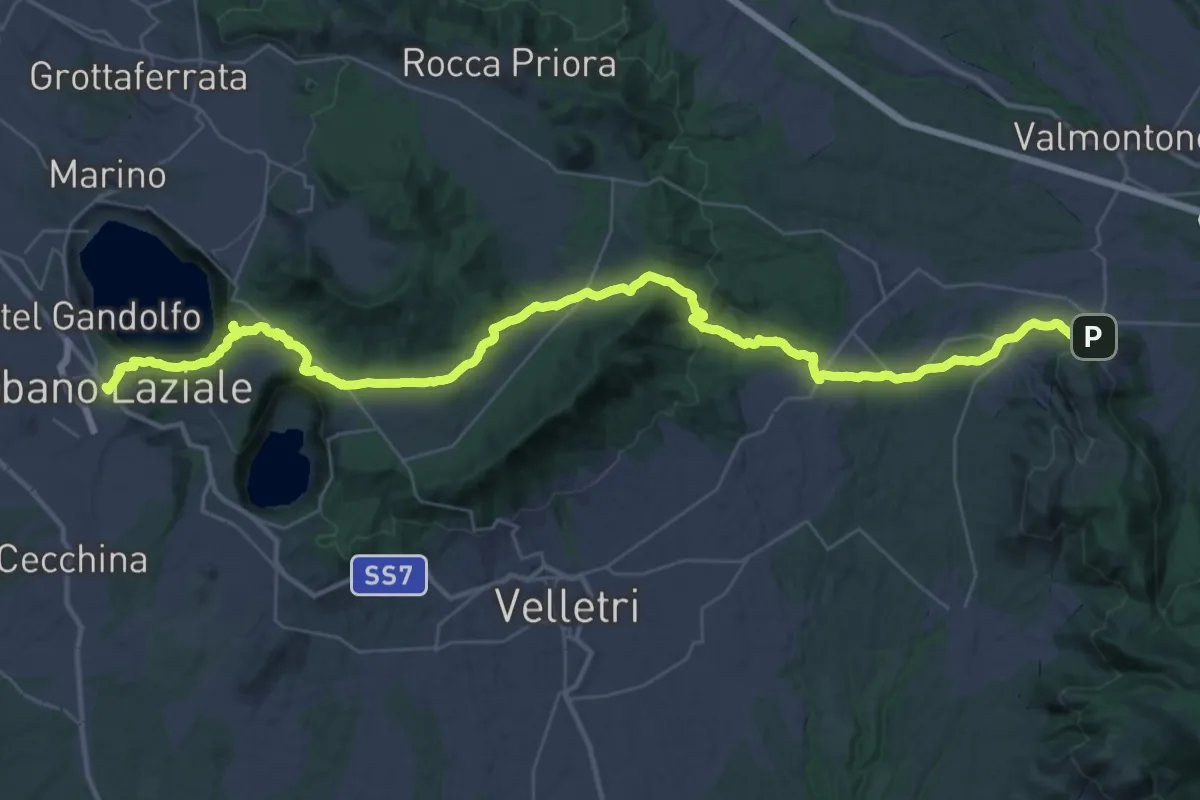
Demanding · Trail
Cammino di San Tommaso - Tappa 2
27.5 km · ↑ 784 m · 8 h 33 min · 13 km away
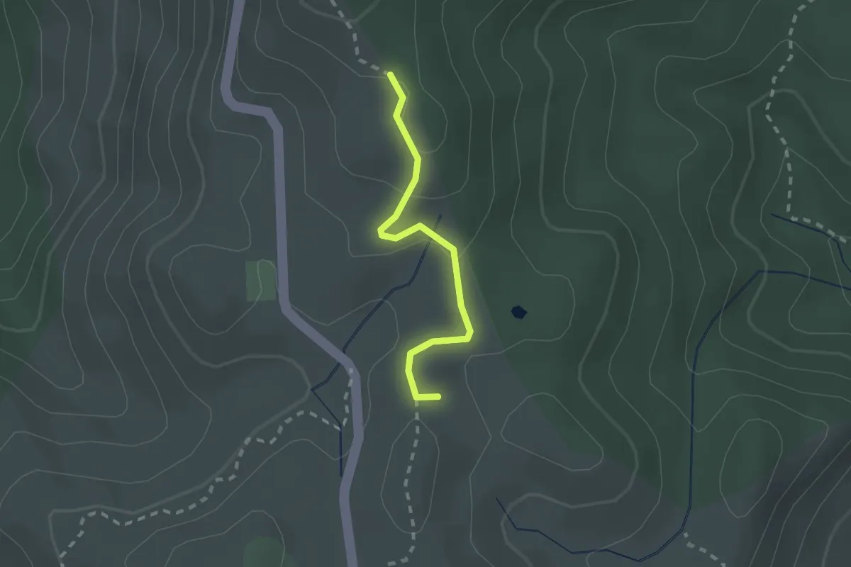
Medium · Summit
LH20 Monti Prenestini
1.9 km · ↑ 54 m · 34 min · 13 km away
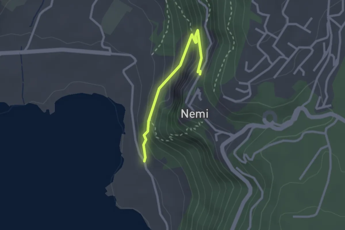
Medium · Trail
Lago di Nemi – Nemi
2.2 km · ↑ 175 m · 53 min · 13 km away
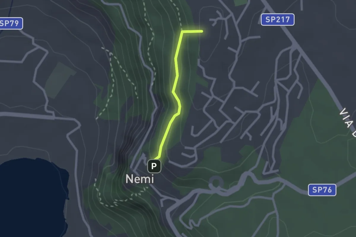
Easy · Summit
Fontana Tempesta – Nemi
1.7 km · ↑ 127 m · 40 min · 13 km away
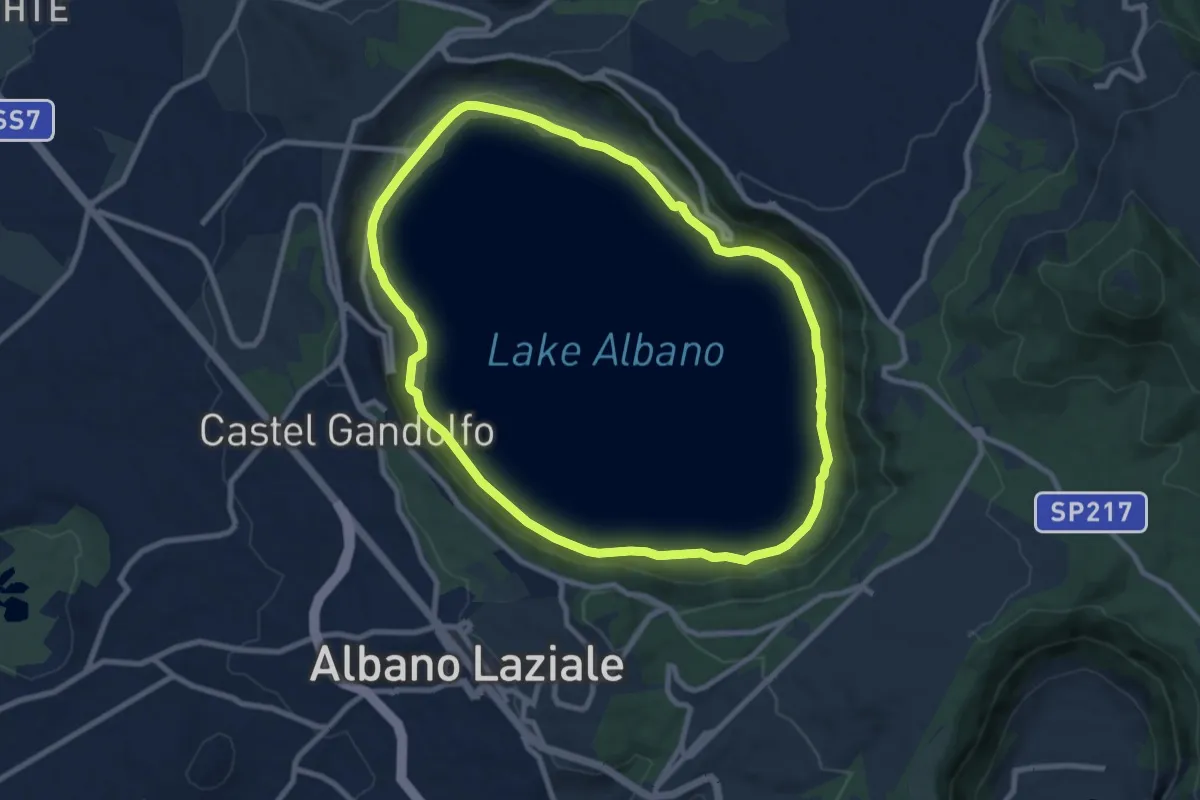
Medium · Trail
Periplo Lago Albano
9.5 km · ↑ 101 m · 2 h 36 min · 13 km away
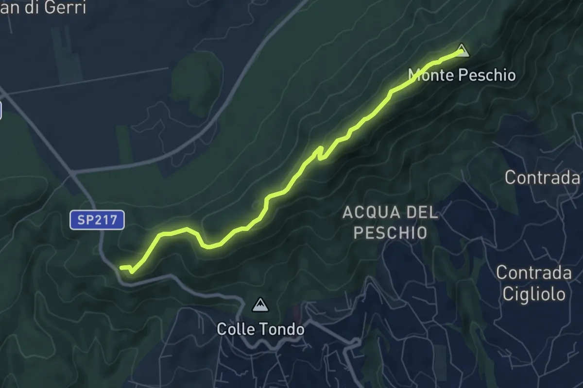
Medium · Summit
Via dei laghi – Maschio d’Ariano
8.1 km · ↑ 278 m · 2 h 30 min · 13 km away
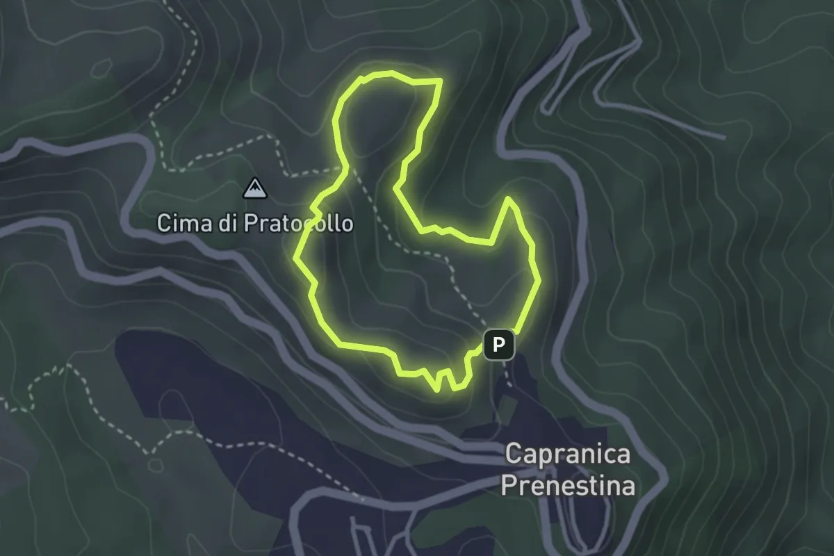
Easy · Summit
Sentiero Gian Paolo Mazzi
2.7 km · ↑ 124 m · 57 min · 13 km away
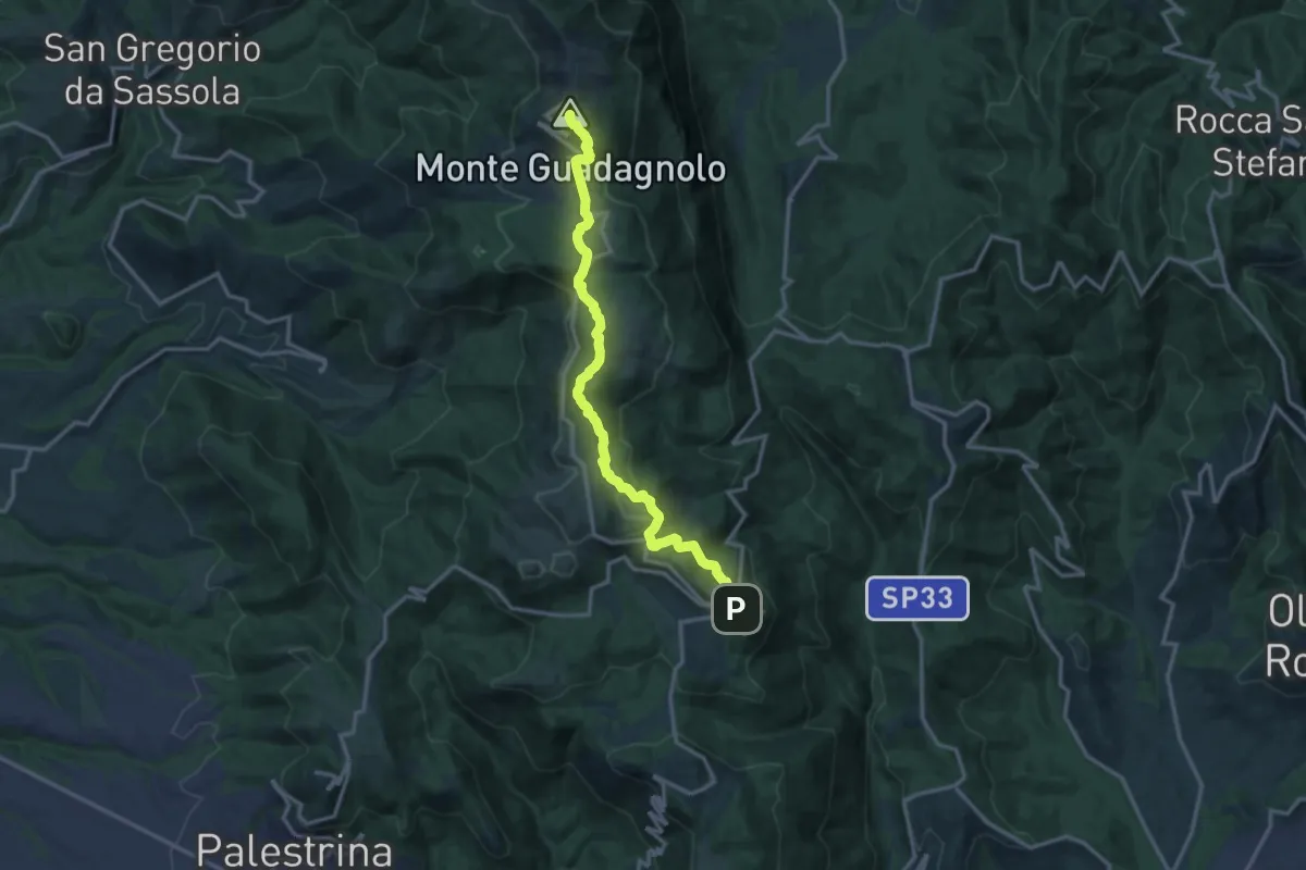
Medium · Summit
Capranica Prenestina – Guadagnolo
15.4 km · ↑ 669 m · 5 h 5 min · 13 km away
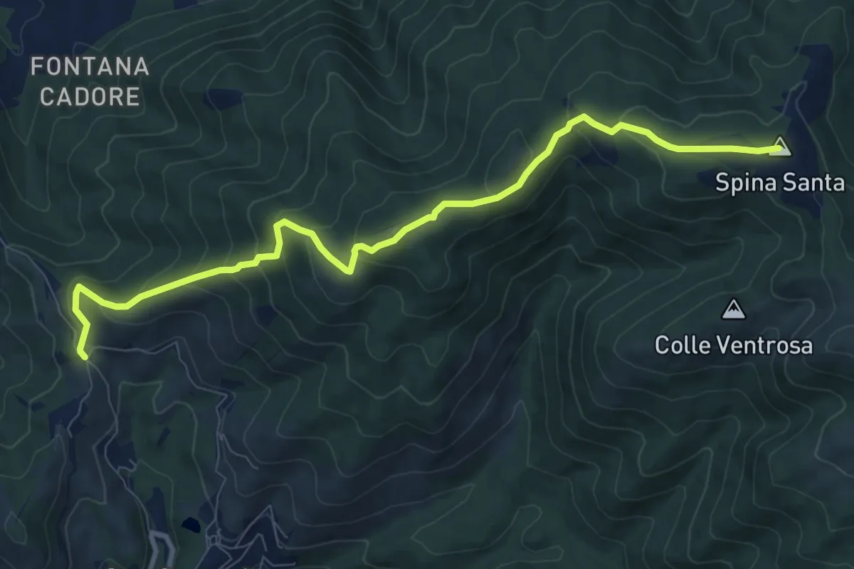
Medium · Summit
Santa Maria Nuova – Spina Santa innesto su sentiero 500
10.5 km · ↑ 587 m · 3 h 45 min · 13 km away
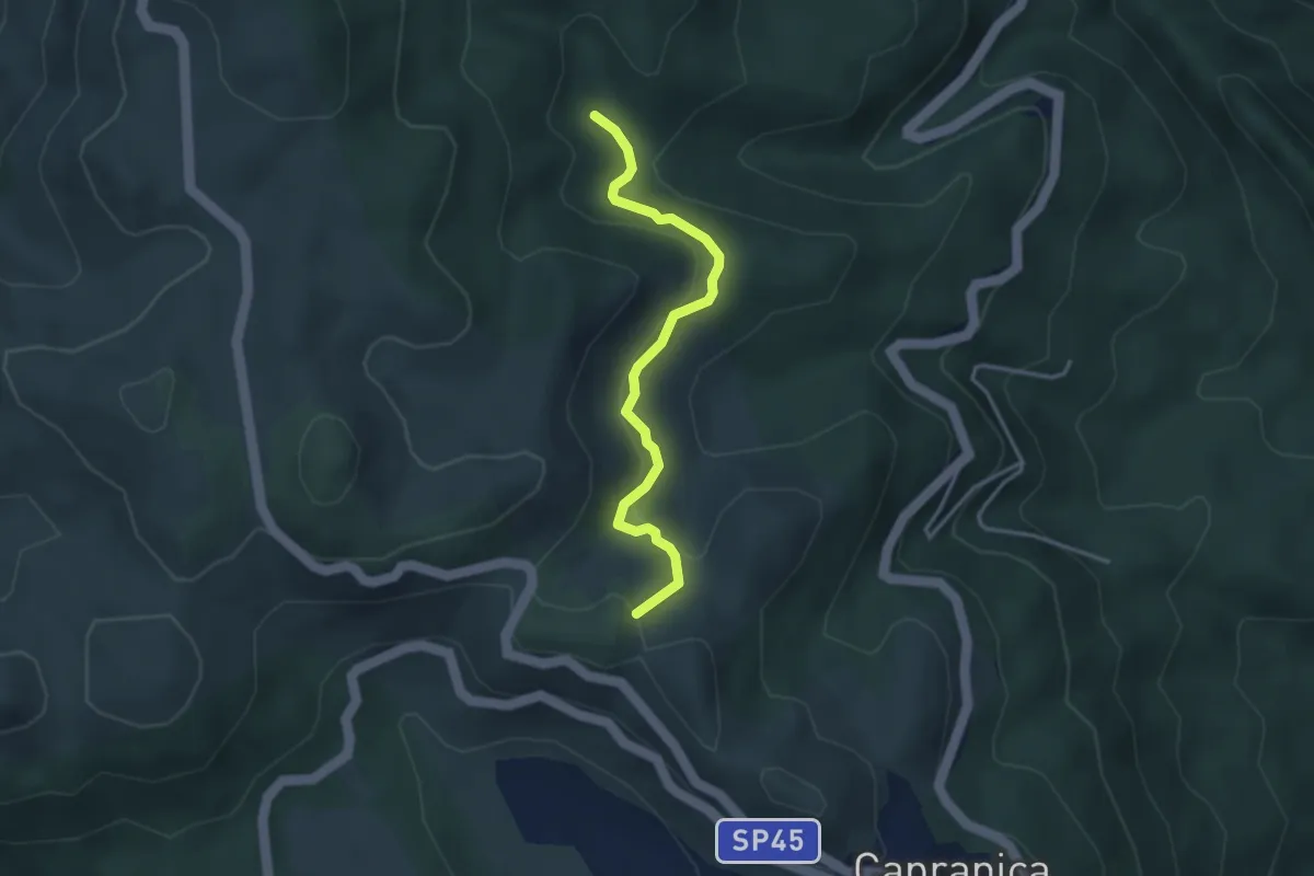
Easy · Summit
Sentiero Natura Mola Bossi
3.6 km · ↑ 169 m · 1 h 13 min · 14 km away