Trails near San Felice a Cancello
35 hikes starting within 15 km, nearest first.
Nearest first
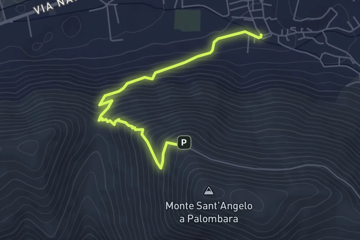
Medium · Trail
San Felice a Cancello – Sant'Angelo a Palombara - Intersezione GTP
5.8 km · ↑ 446 m · 2 h 20 min · 1 km away
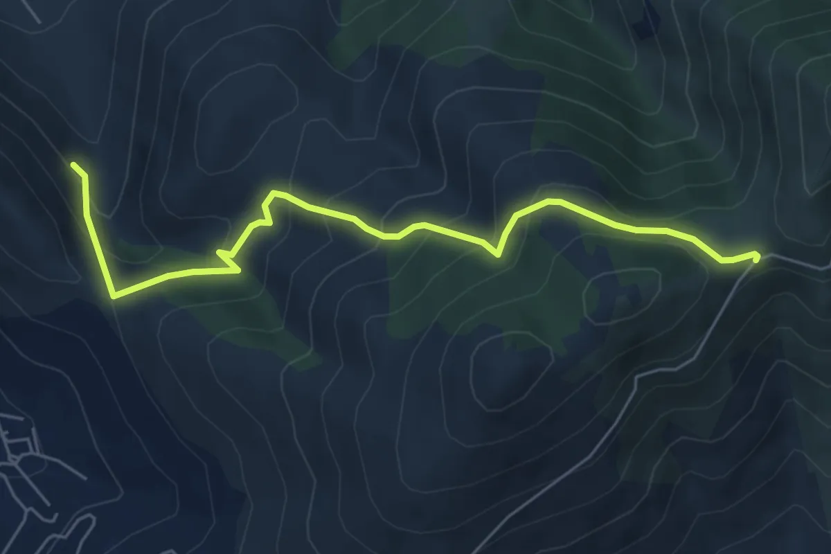
Medium · Trail
Sentiero dei pascoli
6.6 km · ↑ 498 m · 2 h 38 min · 2 km away
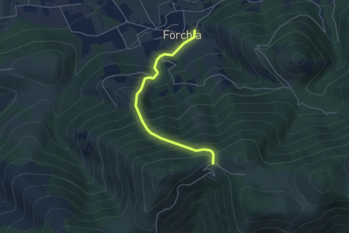
Medium · Trail
Dal Sannio Caudino alla Campania Felix
4.3 km · ↑ 478 m · 2 h 2 min · 5 km away
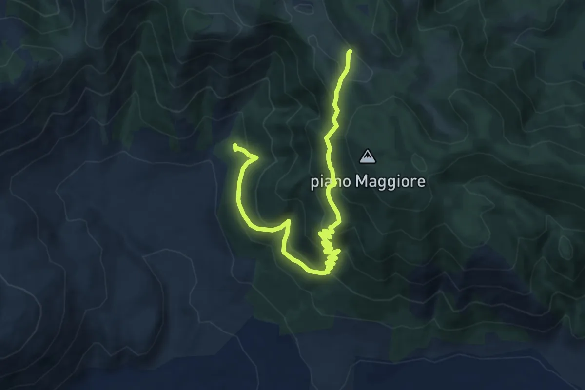
Medium · Trail
Foresta di Roccarainola (vivaio) – Piano del Pozzo
11.9 km · ↑ 706 m · 4 h 21 min · 6 km away
Medium · Trail
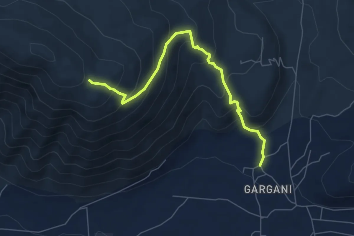
Roccarainola (Sasso) – Monte Fellino (intersezione 200AA)
6.3 km · ↑ 478 m · 2 h 31 min · 6 km away
Medium · Trail
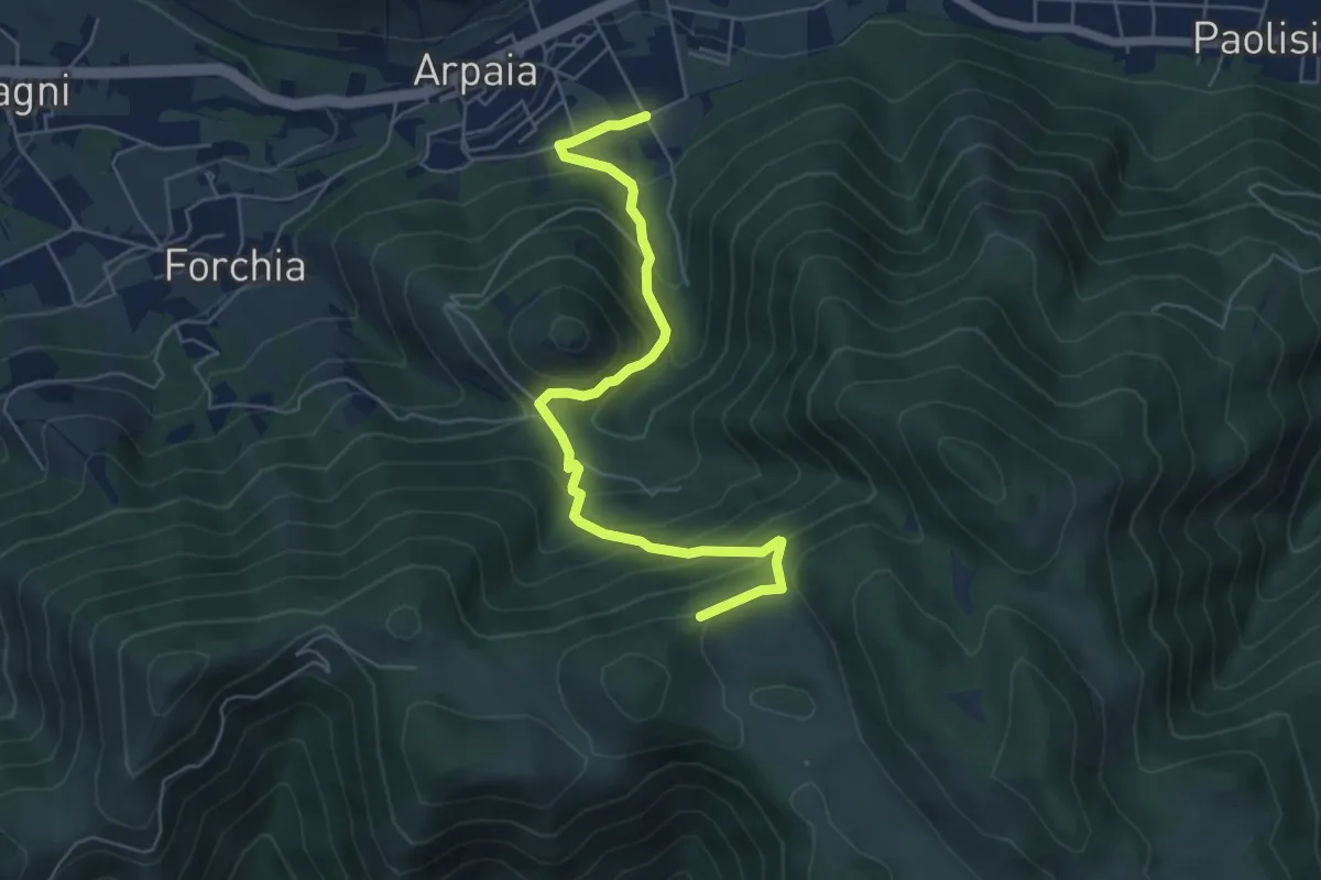
Dalle forche Caudine ai pianori
6.6 km · ↑ 538 m · 2 h 44 min · 6 km away
Demanding · Trail
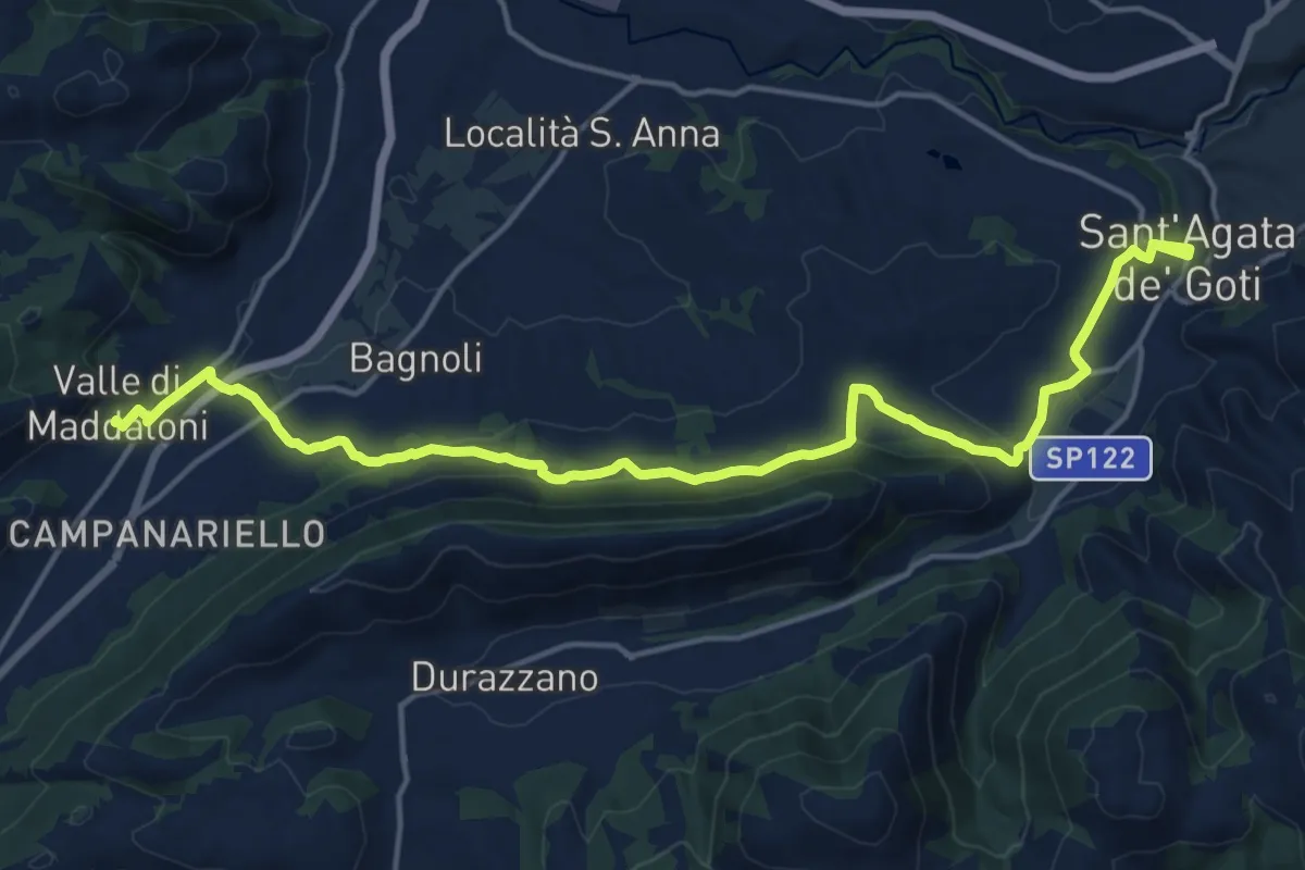
Sant'Agata de' Goti – Valle di Maddaloni
20.4 km · ↑ 475 m · 5 h 51 min · 9 km away
Demanding · Summit
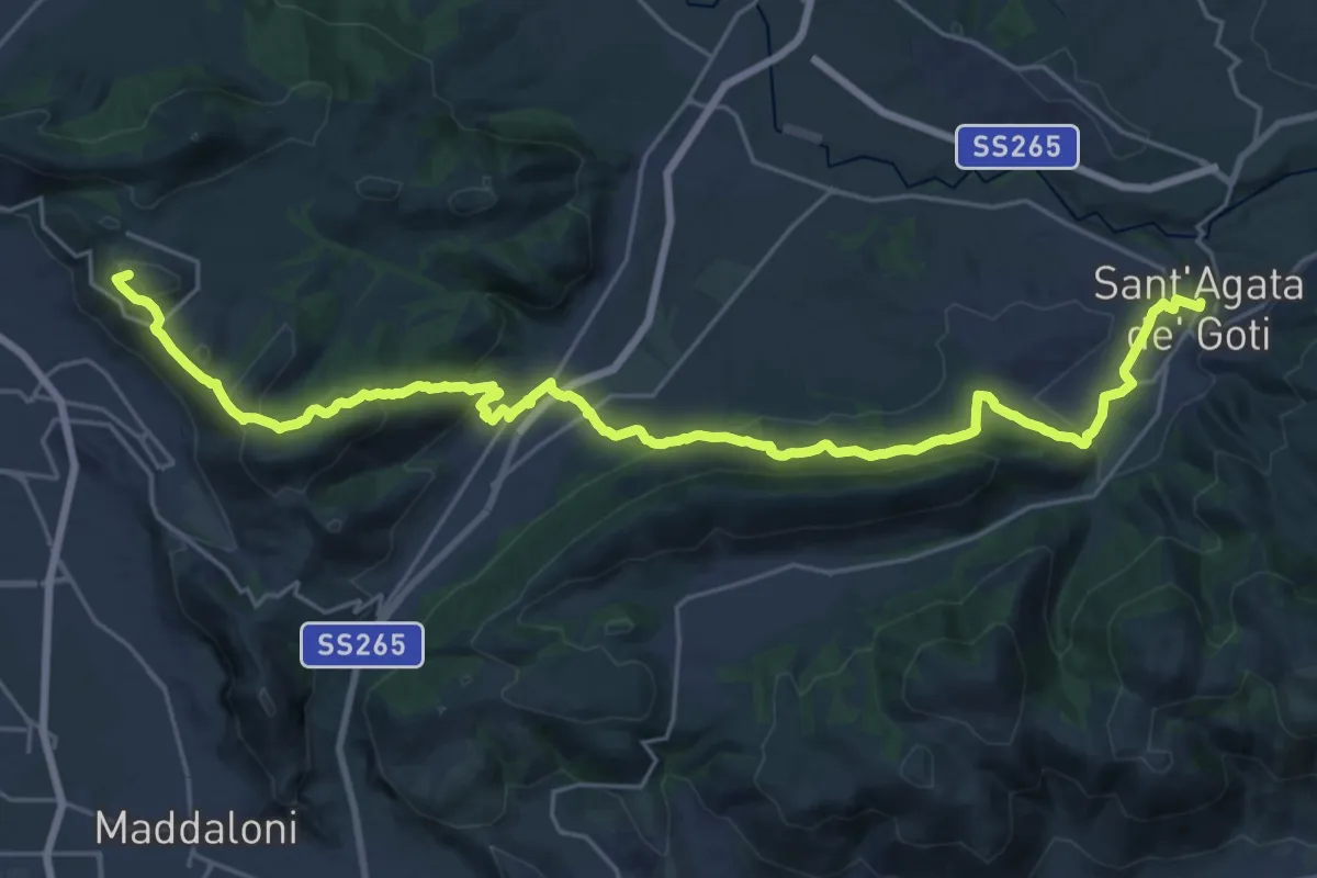
Via Micaelica
31.8 km · ↑ 993 m · 9 h 40 min · 9 km away
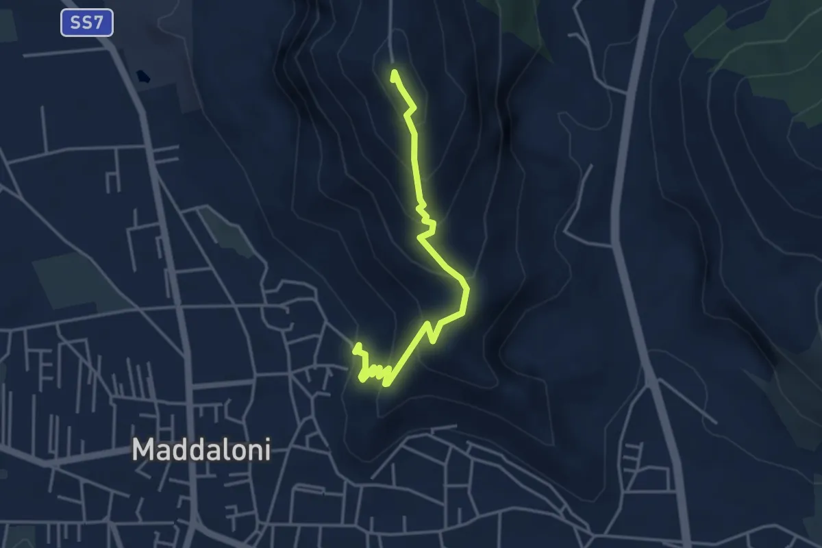
Easy · Summit
Maddaloni – Colle Di Maio
4.0 km · ↑ 309 m · 1 h 37 min · 9 km away
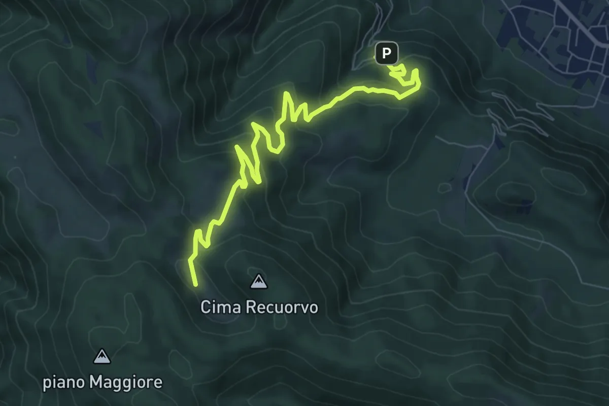
Medium · Trail
Sentiero delle mandrie e dei pianori
9.9 km · ↑ 499 m · 3 h 25 min · 9 km away
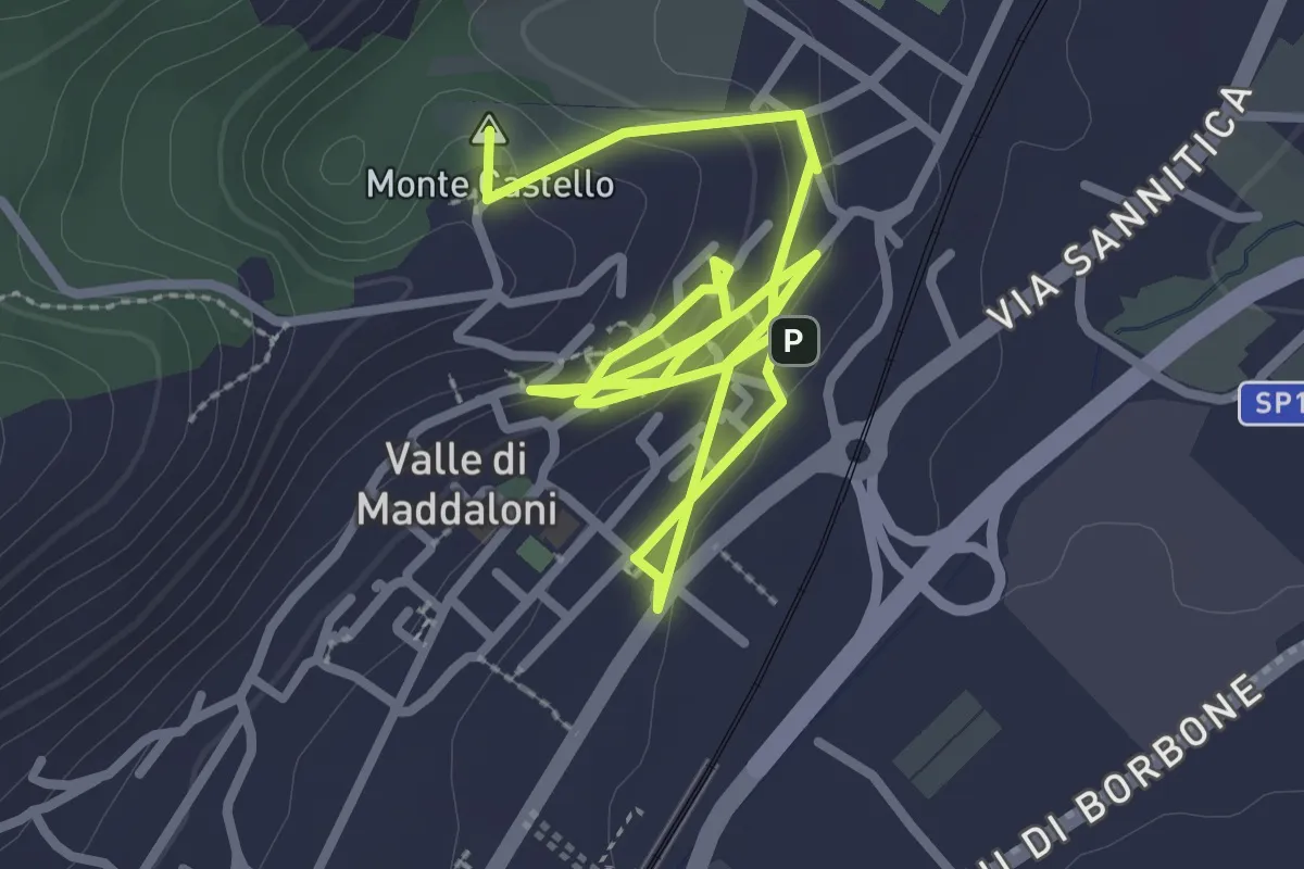
Easy · Summit
Valle Antica (Medievale)
5.1 km · ↑ 191 m · 1 h 37 min · 9 km away
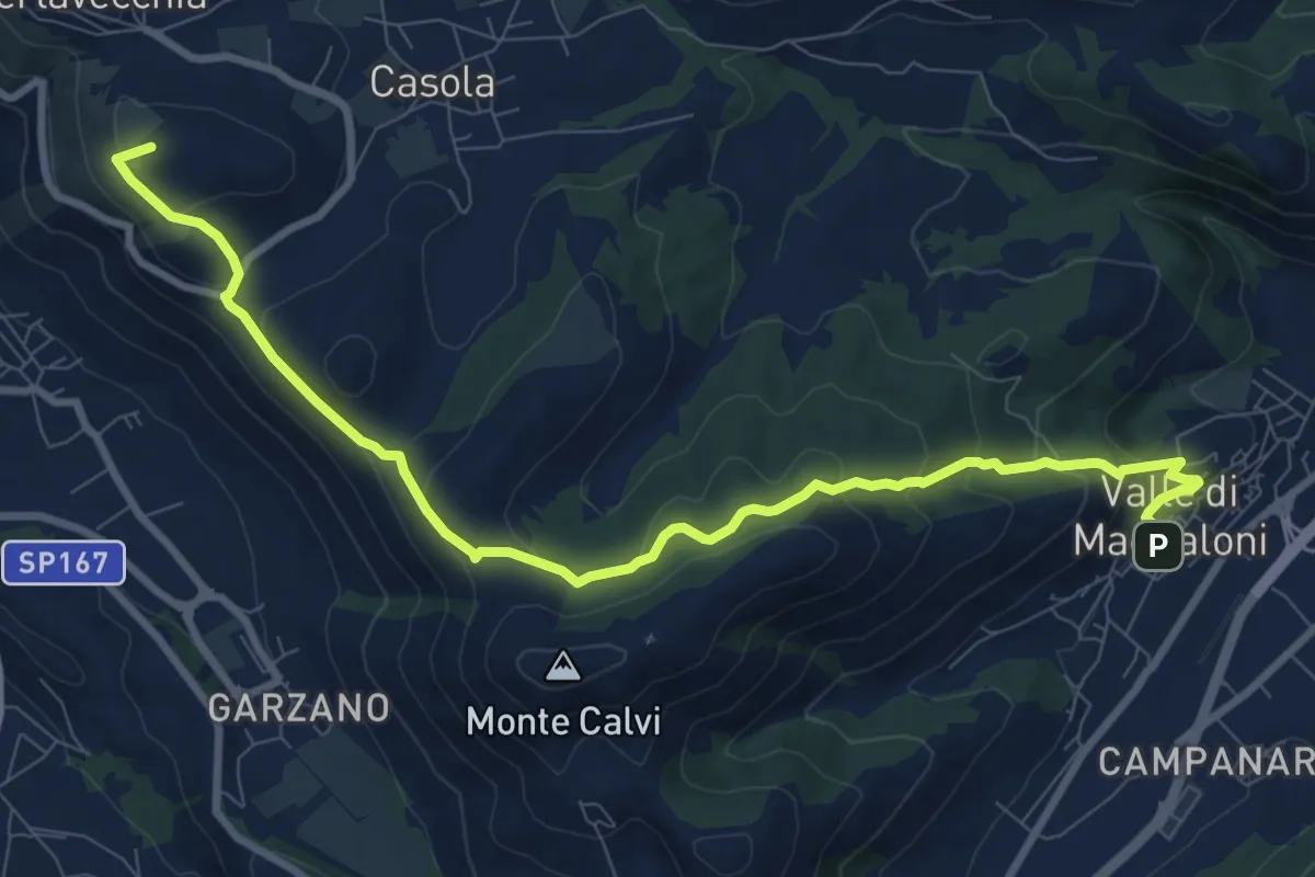
Medium · Summit
Valle di Maddaloni – Caserta Vecchia
11.4 km · ↑ 508 m · 3 h 47 min · 9 km away
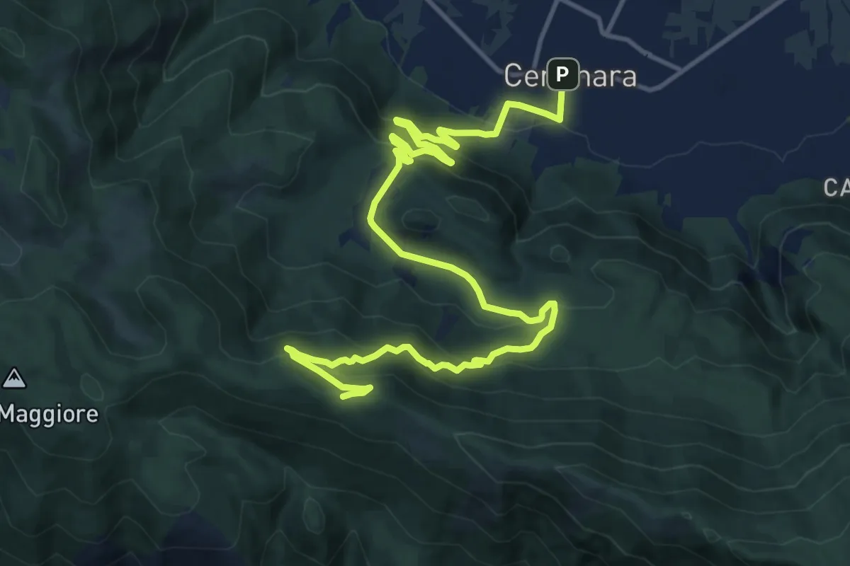
Demanding · Trail
Sentiero dei Lapilli
17.6 km · ↑ 805 m · 5 h 53 min · 11 km away
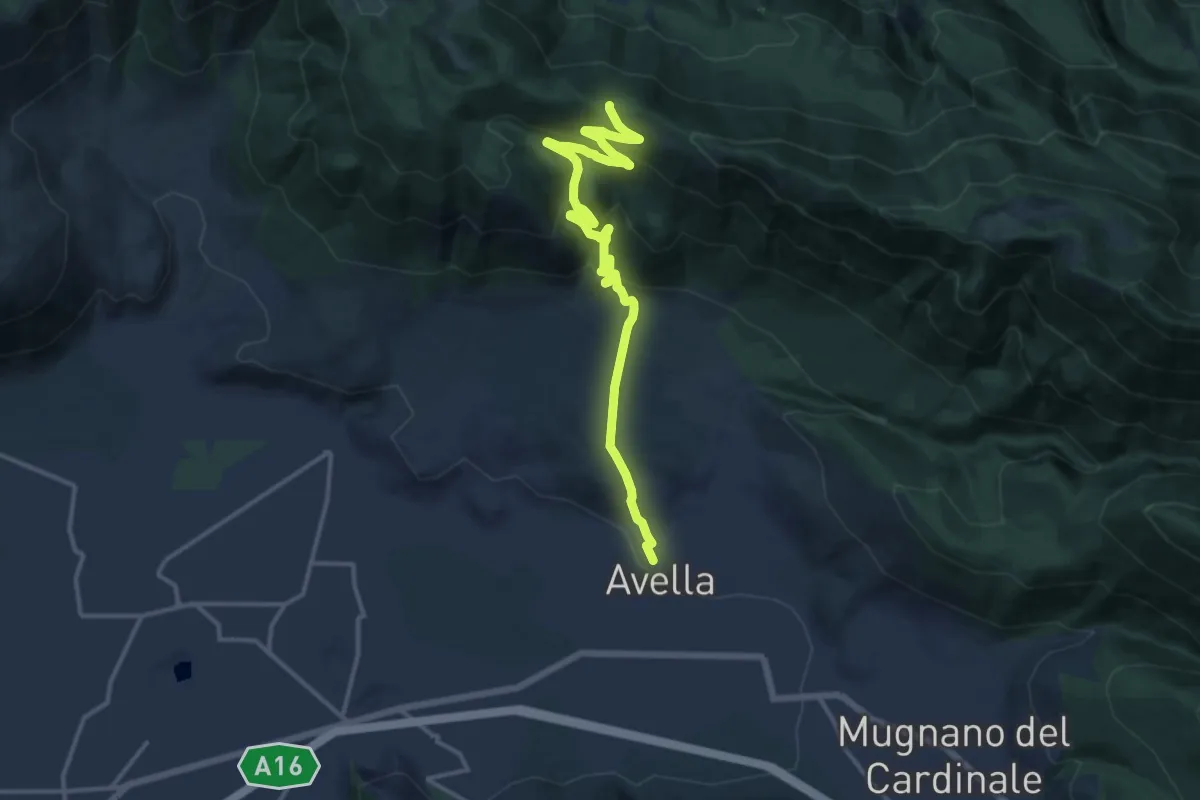
Demanding · Trail
Sentiero del castello
17.3 km · ↑ 857 m · 5 h 56 min · 11 km away
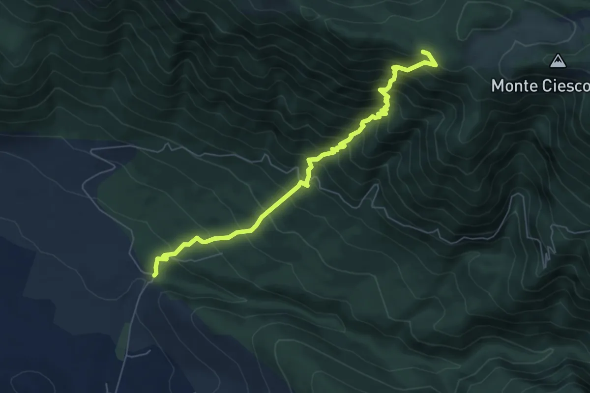
Demanding · Trail
Sentiero dell'eco
6.9 km · ↑ 886 m · 3 h 33 min · 12 km away
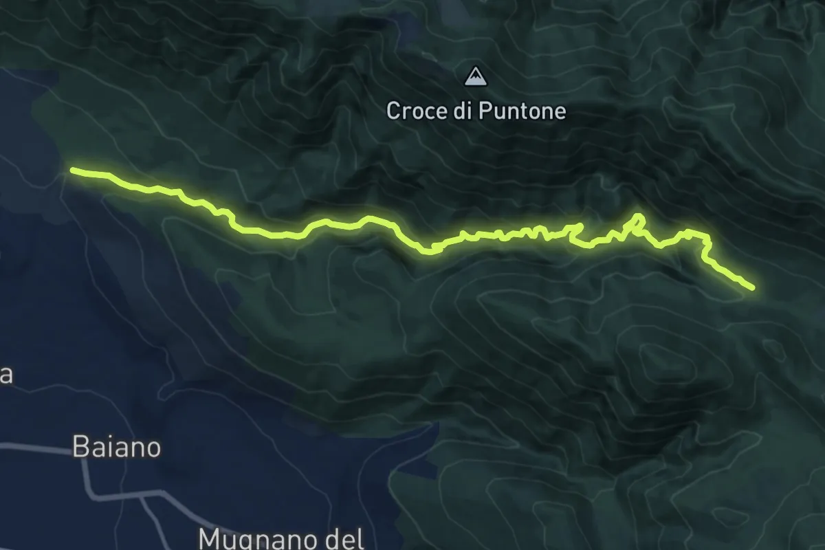
Demanding · Cabin
Via dei Cristiani
17.6 km · ↑ 1036 m · 6 h 24 min · 12 km away
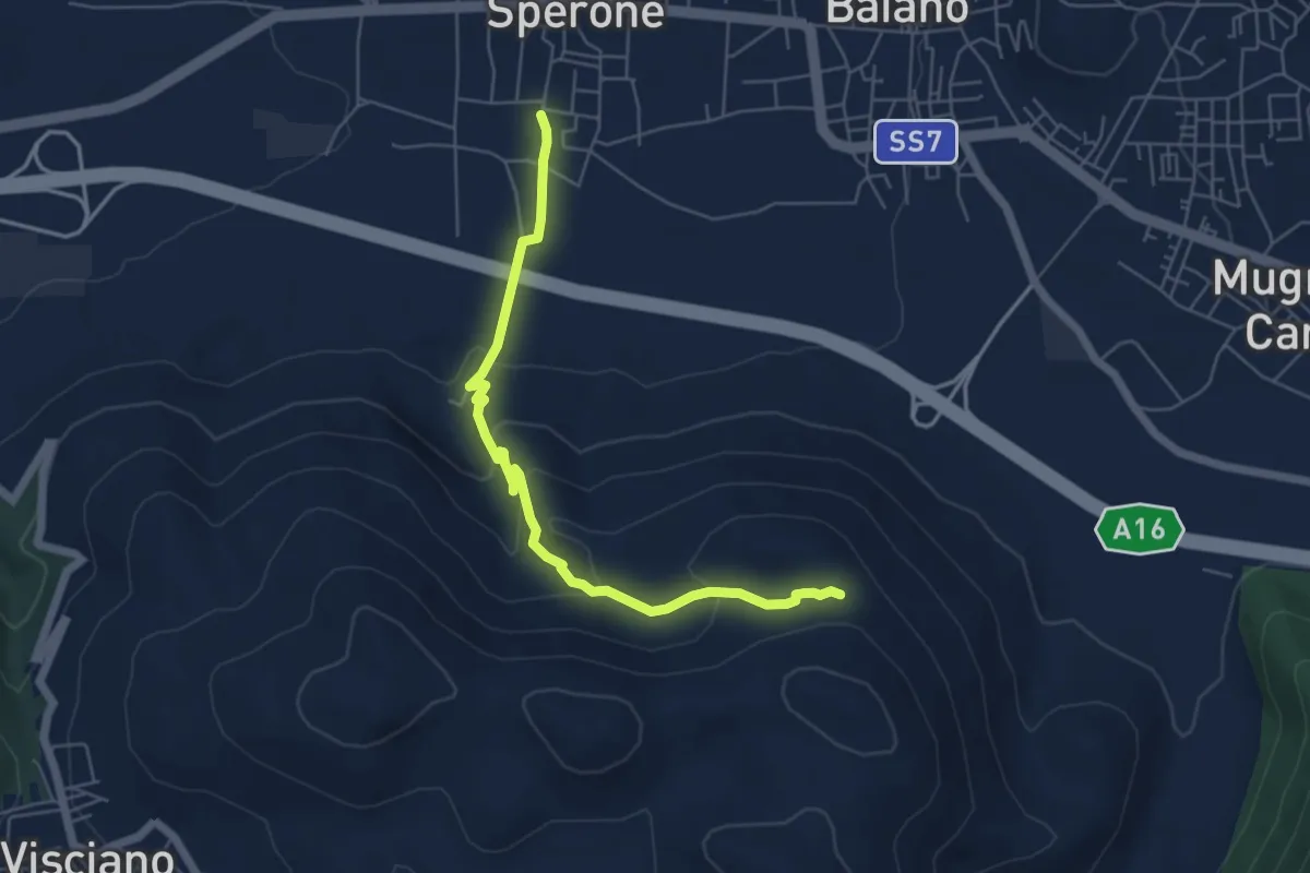
Easy · Trail
Il torone
6.4 km · ↑ 262 m · 2 h 4 min · 12 km away
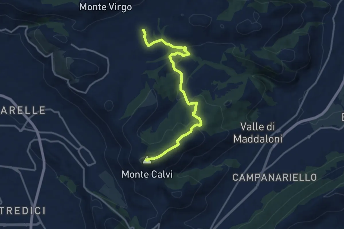
Medium · Summit
Piazza dei Colli Tifatini, Pozzovetere – Monte Calvi
10.3 km · ↑ 392 m · 3 h 16 min · 12 km away
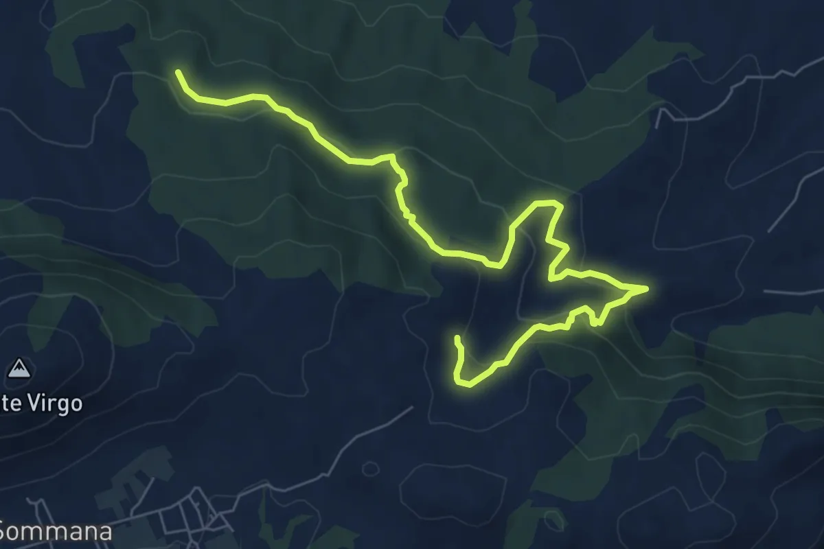
Easy · Trail
Sentiero delle Fonti - Linara Carpine Fico
4.6 km · ↑ 151 m · 1 h 30 min · 12 km away
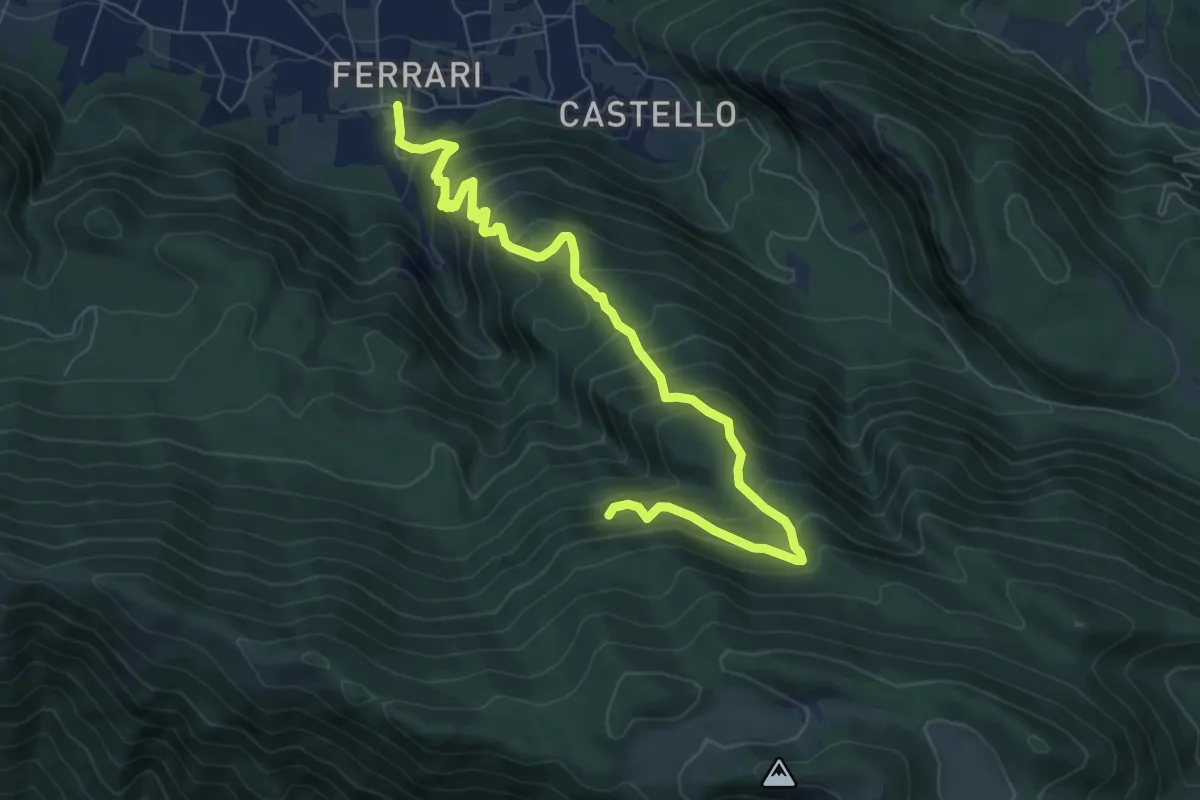
Demanding · Trail
Sentiero dei carbonai
9.0 km · ↑ 913 m · 4 h 6 min · 13 km away
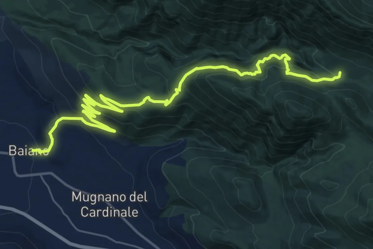
Demanding · Cabin
Baiano – Fonte Campo di San Giovanni
12.7 km · ↑ 1107 m · 5 h 9 min · 13 km away
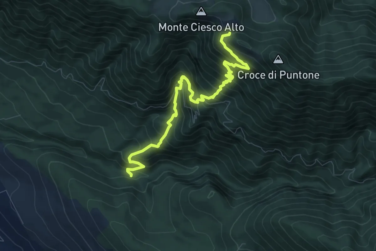
Demanding · Trail
Località Fontanelle – Ciesco Alto intersezione GTP
10.2 km · ↑ 1041 m · 4 h 39 min · 14 km away
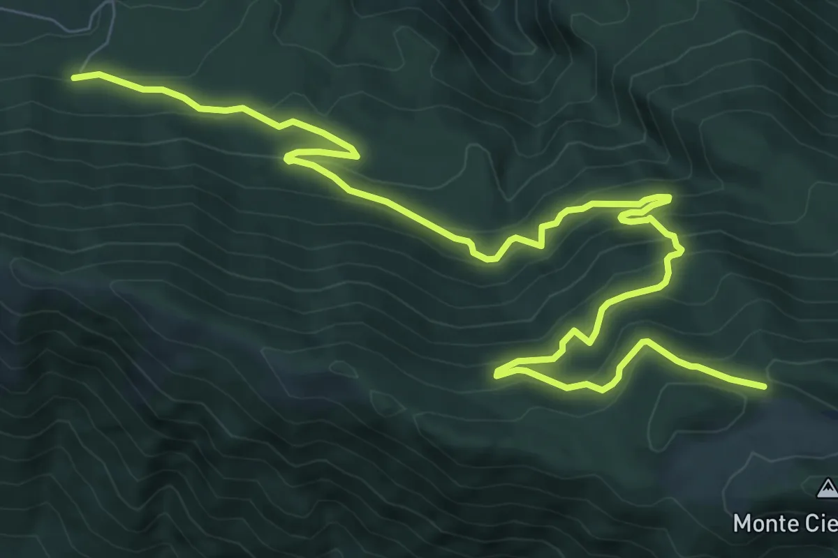
Demanding · Trail
Intersezione 209 – Intersezione GTP
12.3 km · ↑ 832 m · 4 h 42 min · 14 km away
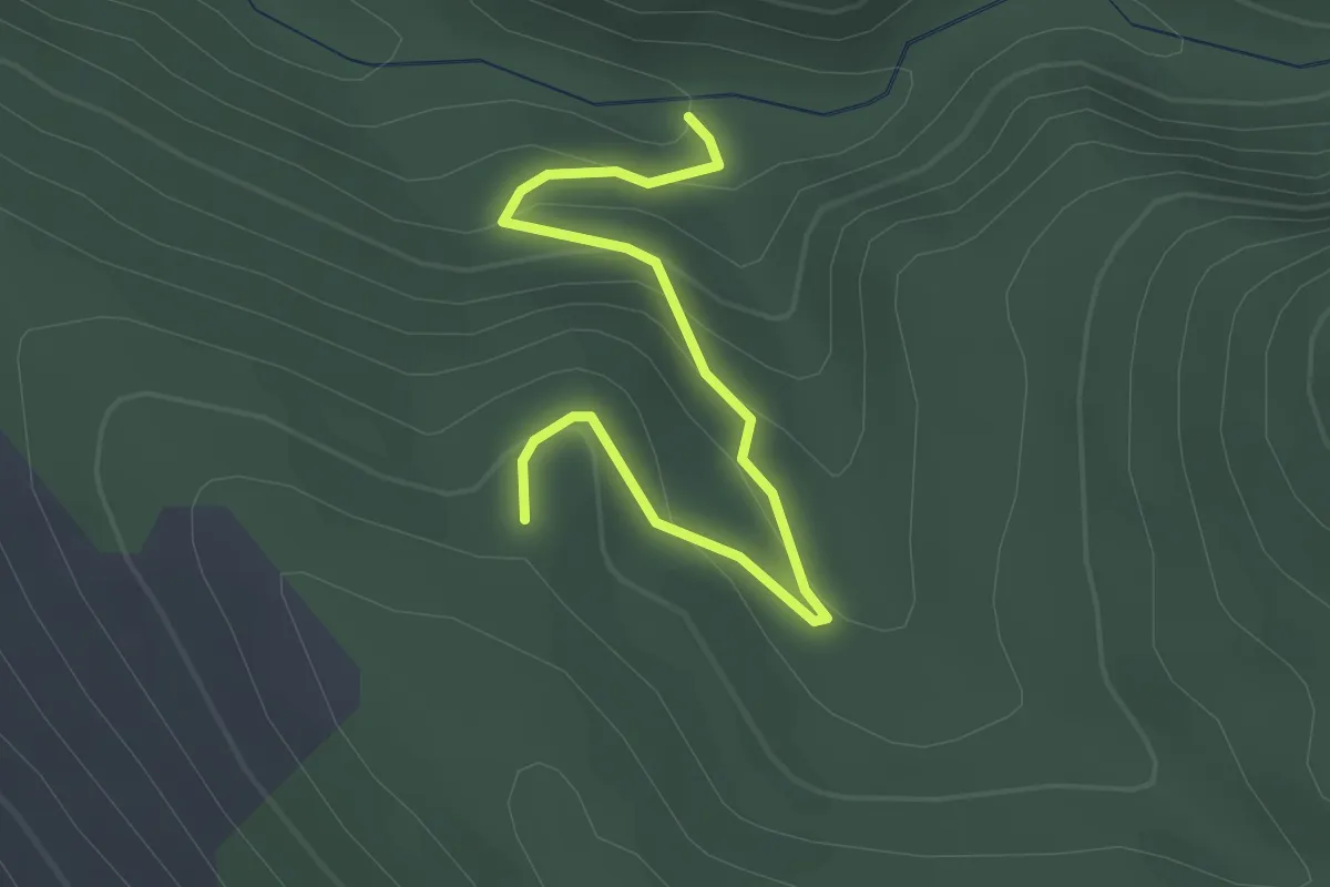
Easy · Trail
Fontanelle – Vallone della Peschiera (Collegamento sentiero 239)
3.0 km · ↑ 167 m · 1 h 4 min · 14 km away
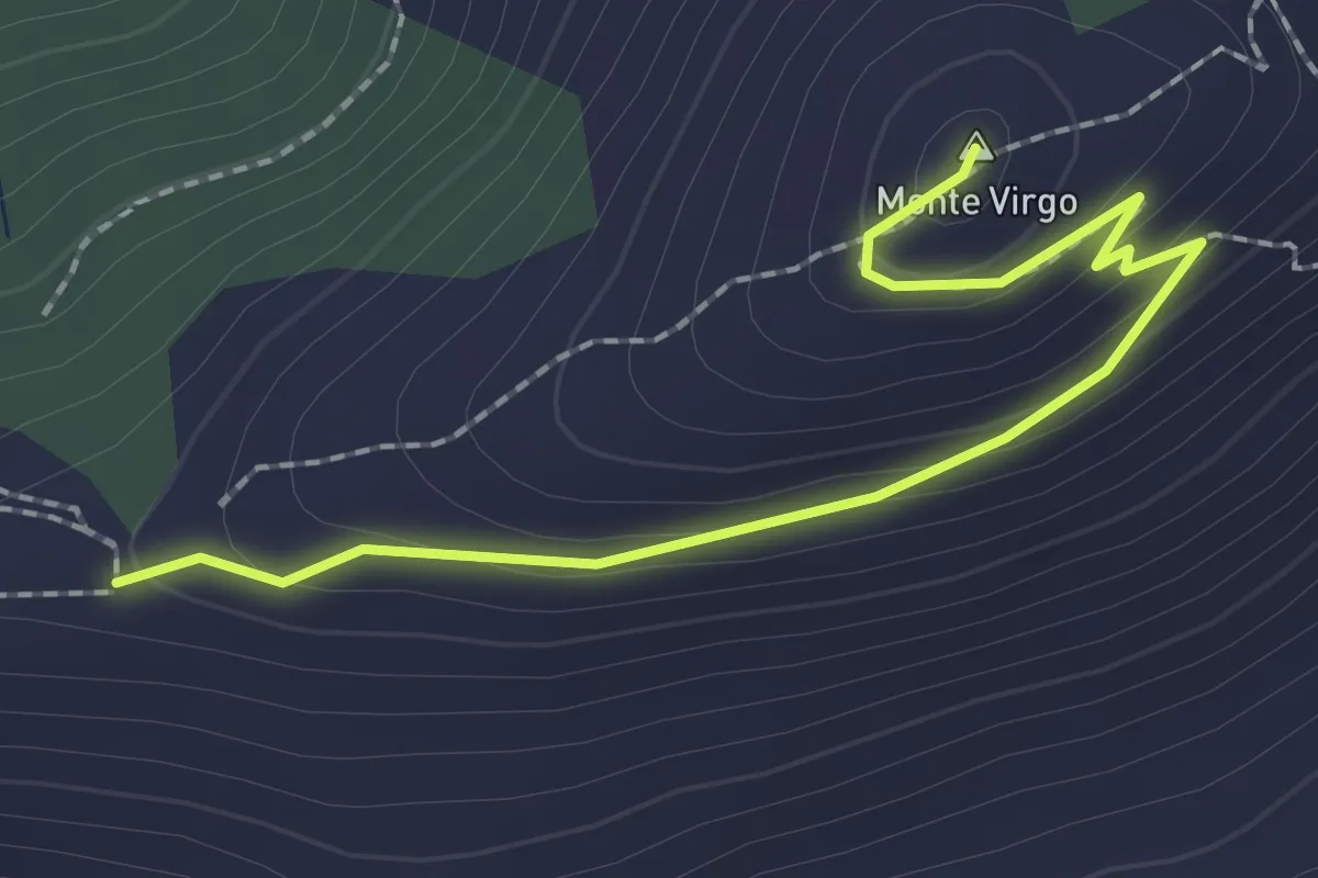
Easy · Summit
Caserta – Casertavecchia
2.5 km · ↑ 102 m · 49 min · 14 km away
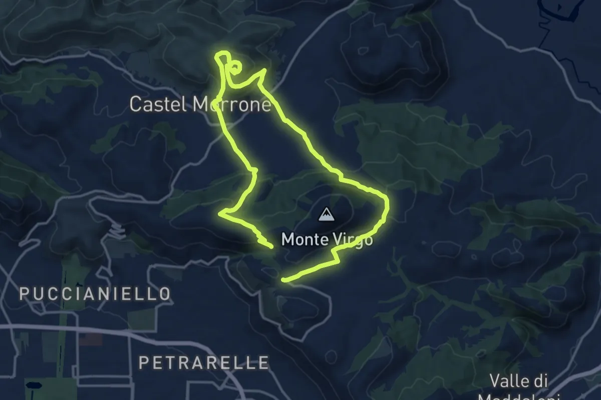
Medium · Trail
Battaglia del Volturno
11.9 km · ↑ 492 m · 4 h 3 min · 14 km away
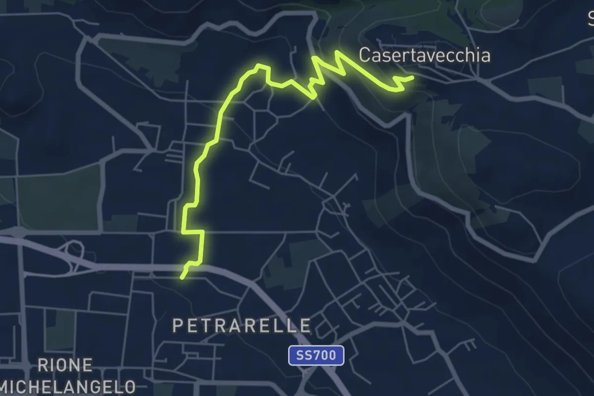
Easy · Trail
Caserta – Casertavecchia
6.3 km · ↑ 274 m · 2 h 4 min · 14 km away
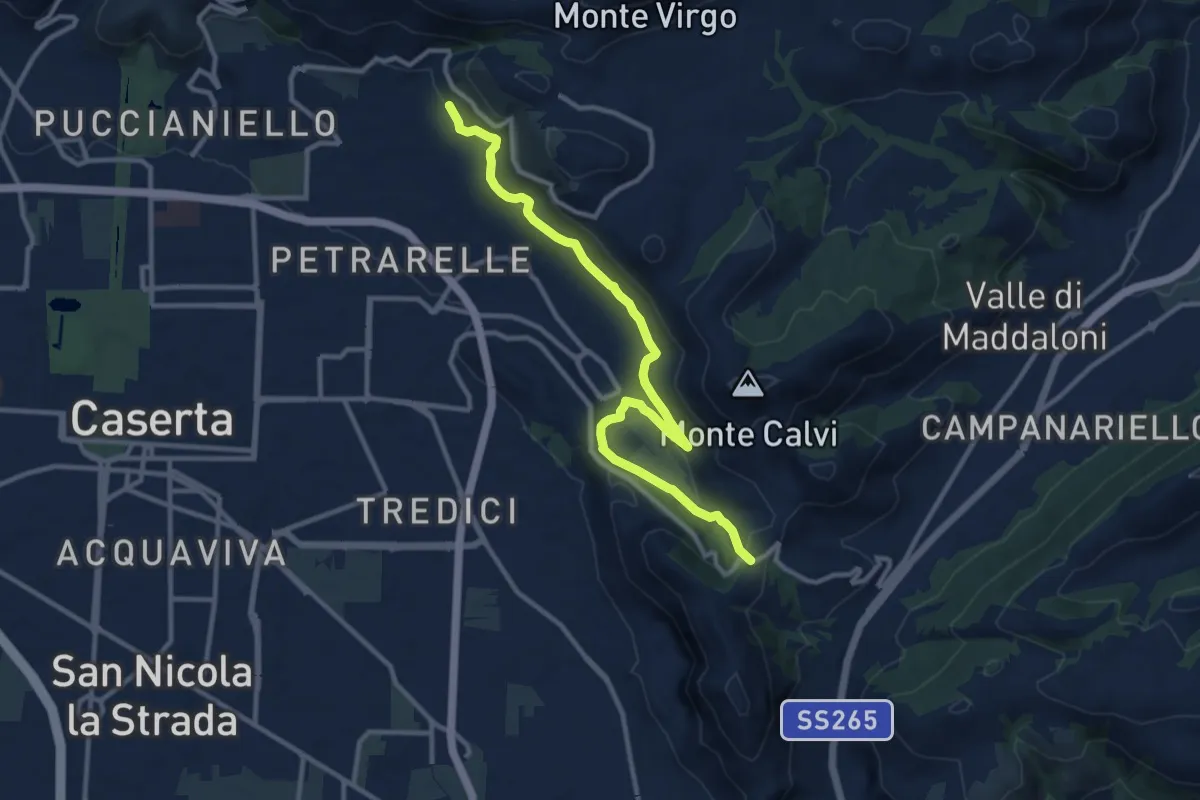
Easy · Trail
San Michele – San Pietro ad Montes
6.6 km · ↑ 271 m · 2 h 11 min · 14 km away
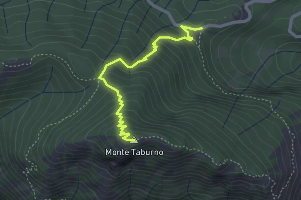
Medium · Summit
Ex Albergo Taburno – Monte Taburno (per Quattro Vie)
4.0 km · ↑ 337 m · 1 h 41 min · 14 km away
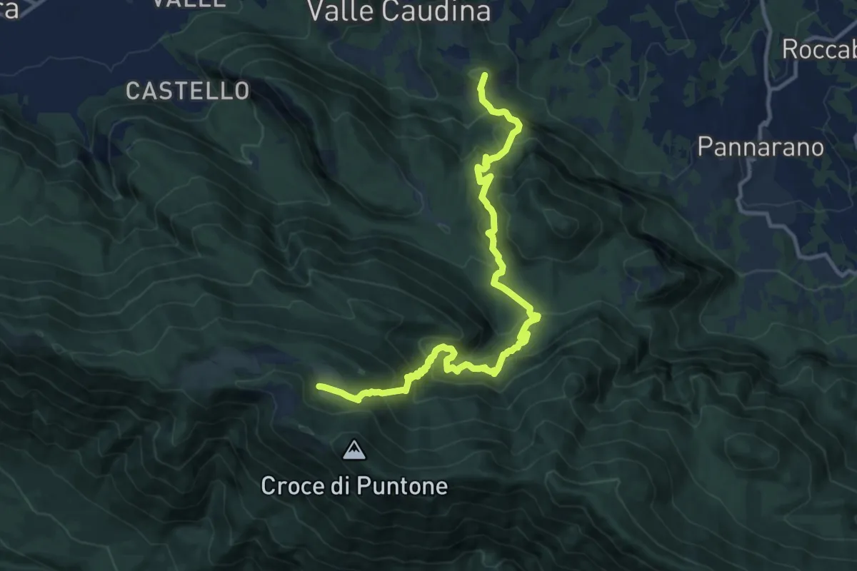
Demanding · Summit
Rifugio Piano di Lauro – Bucciano
13.6 km · ↑ 1044 m · 5 h 29 min · 15 km away
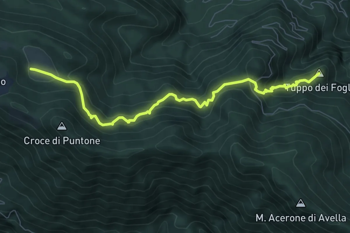
Medium · Summit
Pannarano – Acquafredda
8.5 km · ↑ 709 m · 3 h 33 min · 15 km away
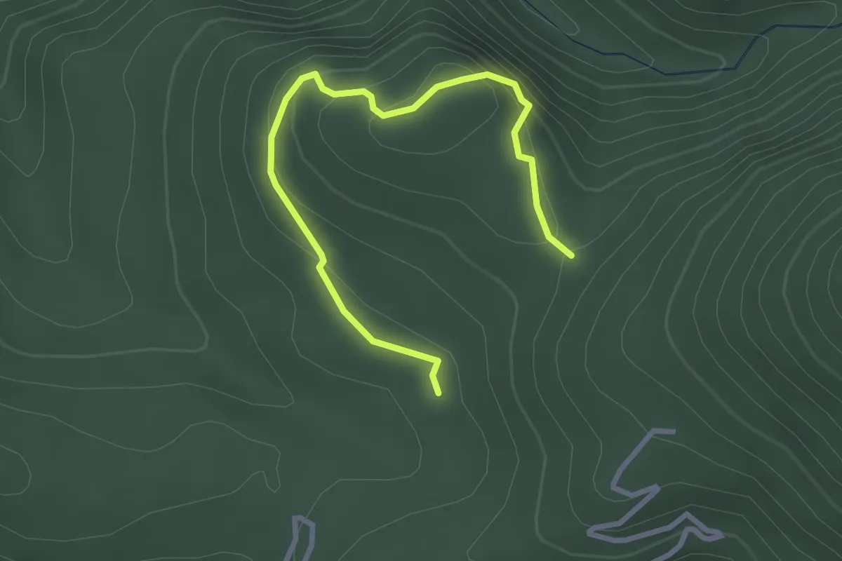
Easy · Trail
Sentiero dei Falconieri
3.4 km · ↑ 243 m · 1 h 20 min · 15 km away
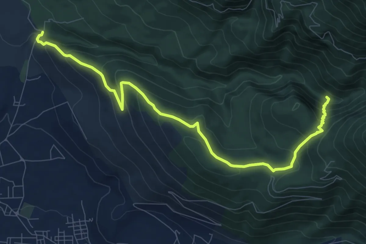
Medium · Trail
Capo Ciesco – Vallone Rusterna
11.0 km · ↑ 629 m · 3 h 58 min · 15 km away
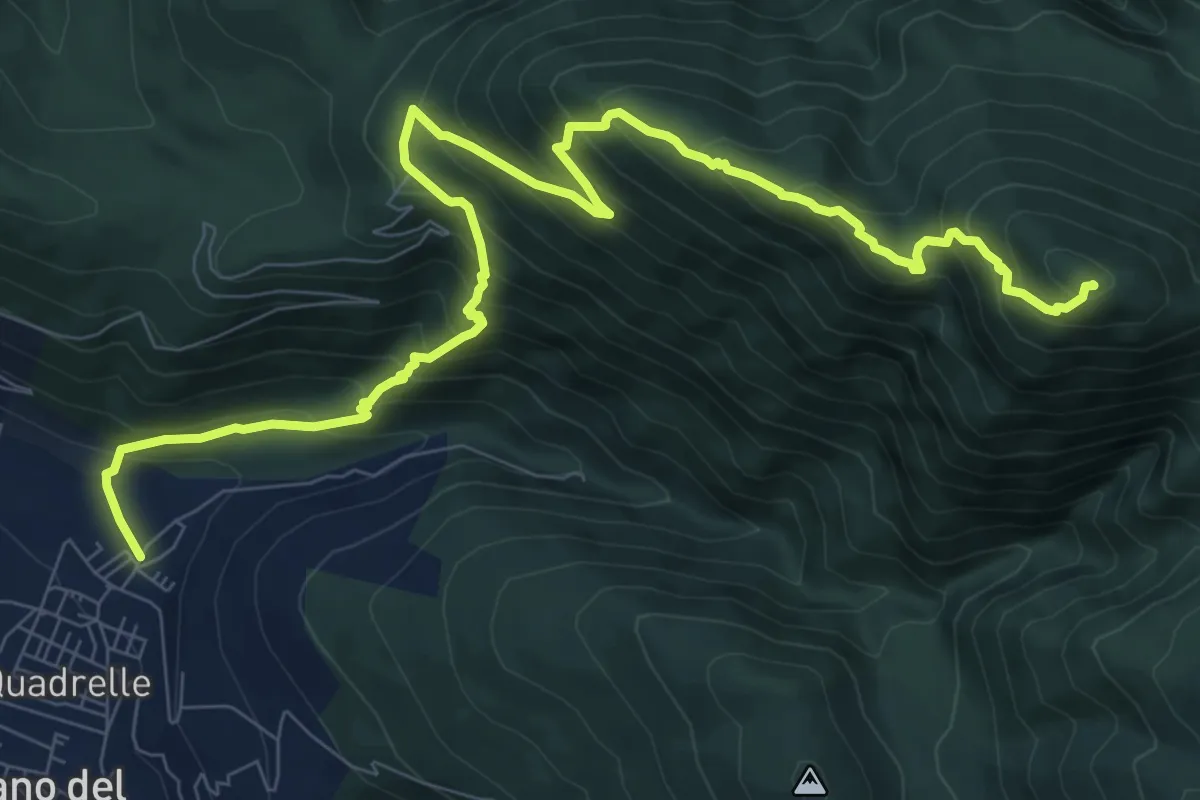
Demanding · Summit
Quadrelle – Valle Fredda
12.8 km · ↑ 1086 m · 5 h 23 min · 15 km away
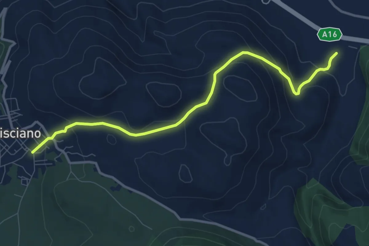
Medium · Trail
Santa Maria del Carpinello
9.4 km · ↑ 388 m · 3 h 3 min · 15 km away