Trails near San Giovanni in Fiore
40 hikes starting within 15 km, nearest first.
Nearest first
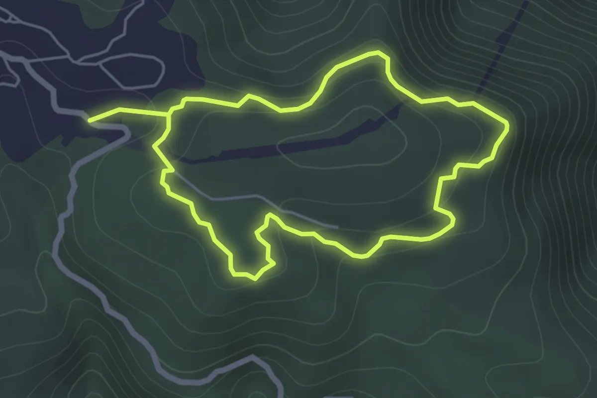
Medium · Trail
Anello di Casa Pasquale
9.6 km · ↑ 296 m · 2 h 55 min · 8 km away
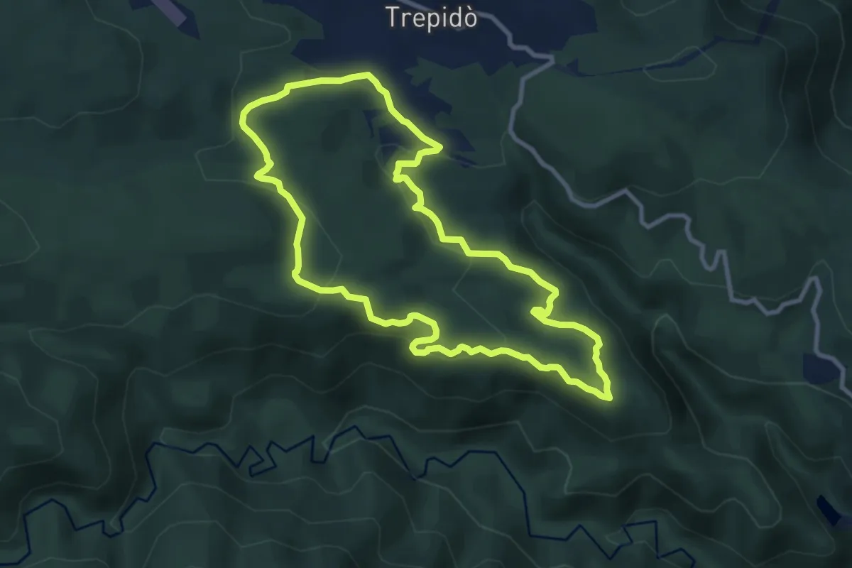
Medium · Trail
Anello del Purgatorio
9.5 km · ↑ 271 m · 2 h 57 min · 8 km away
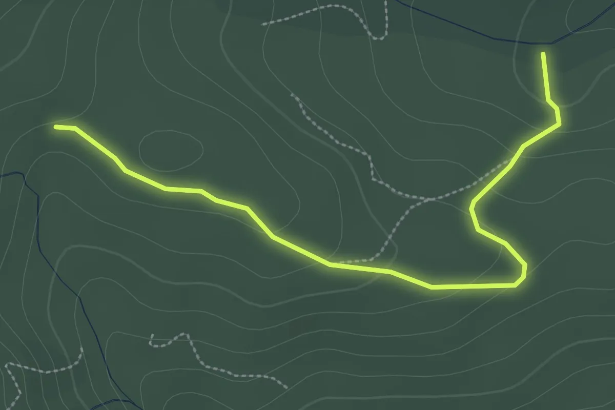
Easy · Trail
Sentiero della Radura del Lupo
3.7 km · ↑ 111 m · 1 h 7 min · 9 km away
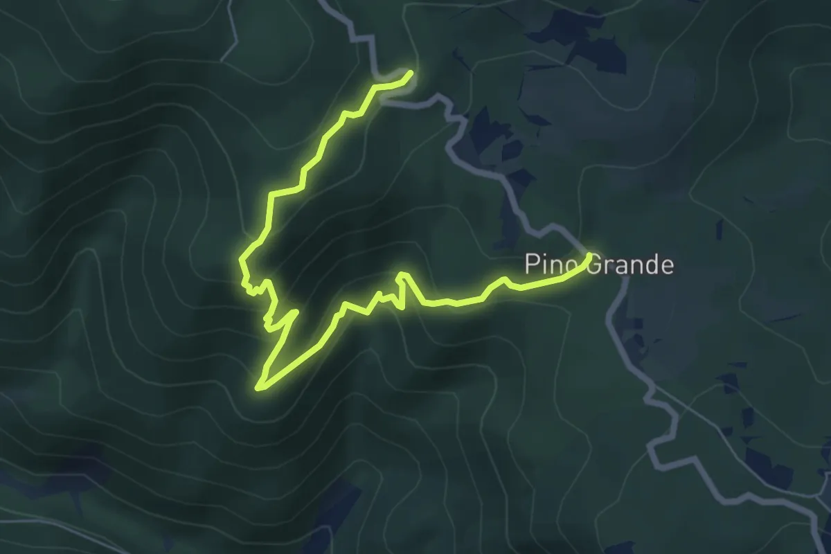
Medium · Trail
Sentiero del Timpone di Gazzera
8.4 km · ↑ 476 m · 3 h 1 min · 9 km away
Medium · Trail
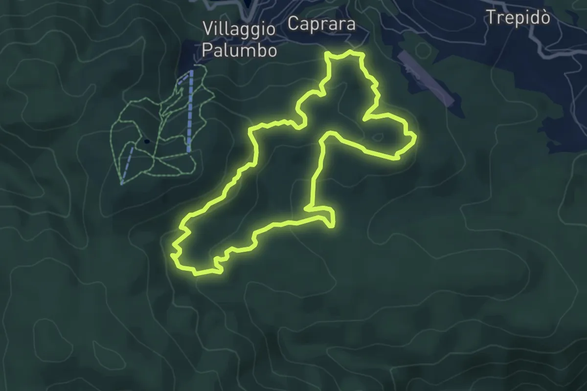
Sentiero del Pian del Sole
8.6 km · ↑ 307 m · 2 h 50 min · 10 km away
Medium · Summit
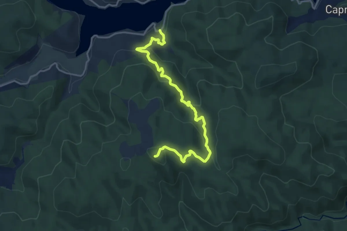
Fiume Tassito - Monte Scorciavuoi
13.0 km · ↑ 703 m · 4 h 36 min · 10 km away
Medium · Trail
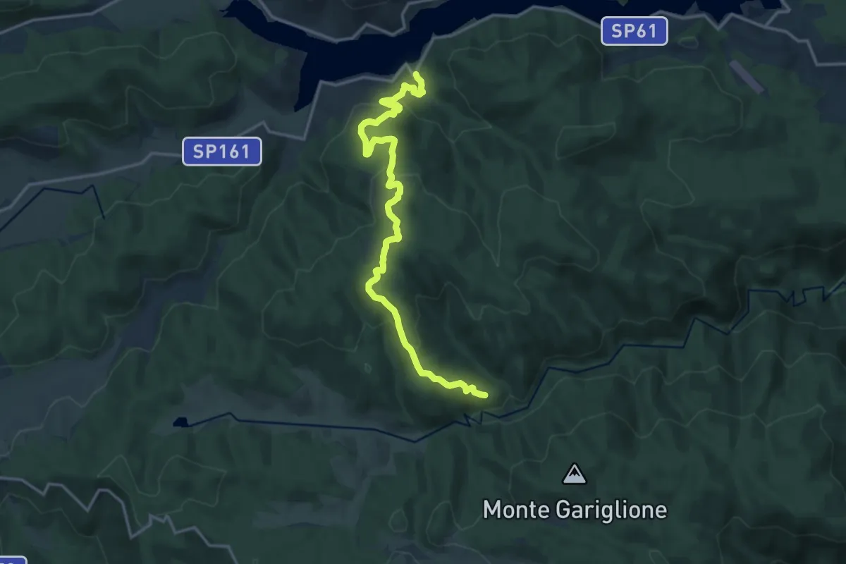
Sentiero del Fiume Tassito
17.4 km · ↑ 708 m · 5 h 39 min · 10 km away
Medium · Trail
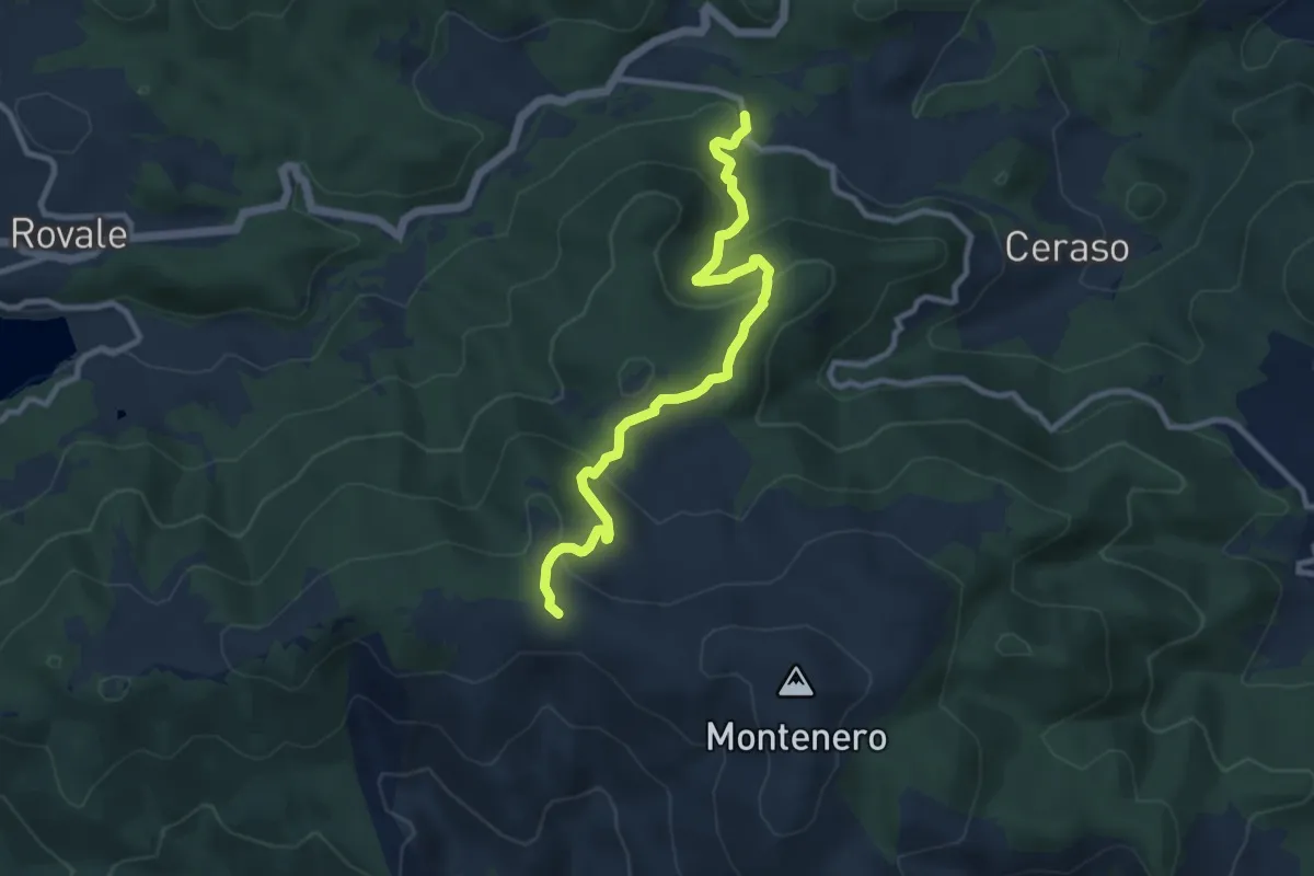
Sentiero dei Rossi
10.9 km · ↑ 467 m · 3 h 36 min · 10 km away
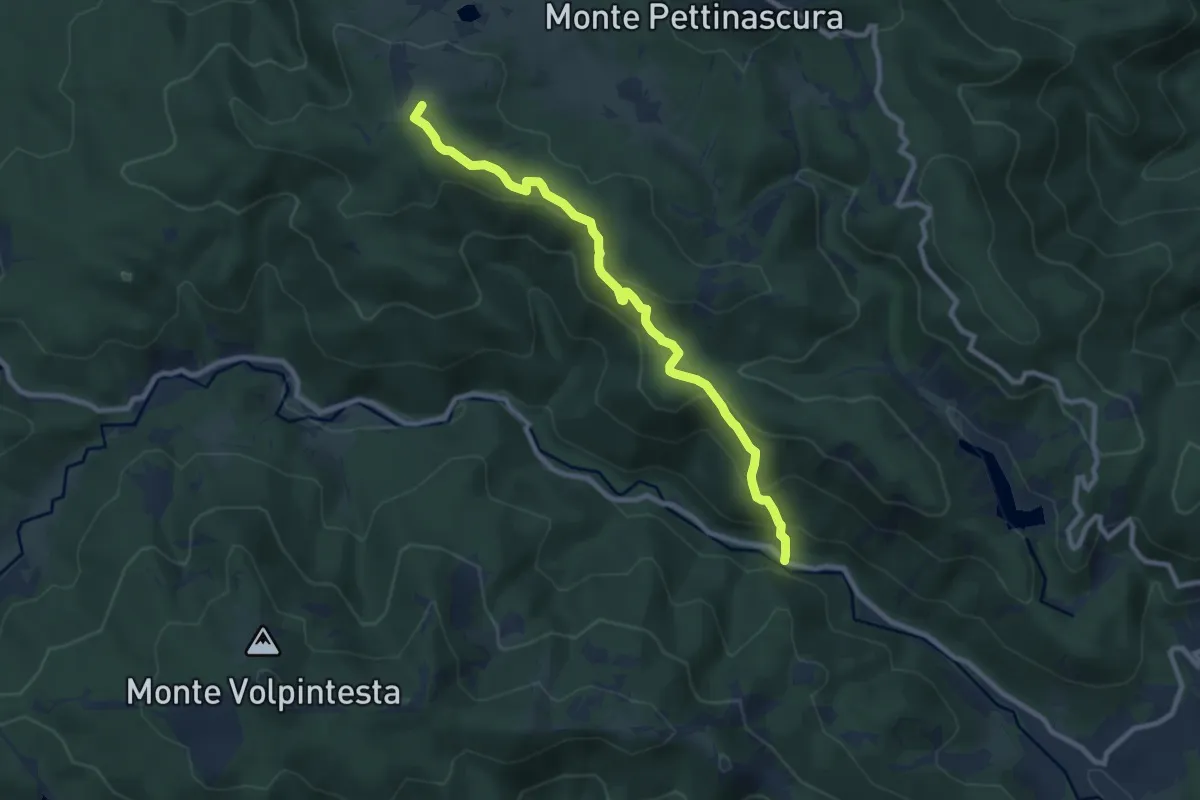
Medium · Summit
Sentiero di Arnocampo
10.3 km · ↑ 498 m · 3 h 31 min · 11 km away
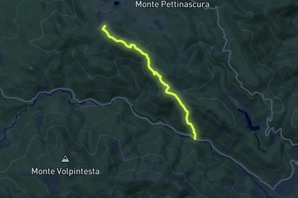
Medium · Summit
Sentiero di Arnocampo
10.3 km · ↑ 498 m · 3 h 31 min · 11 km away
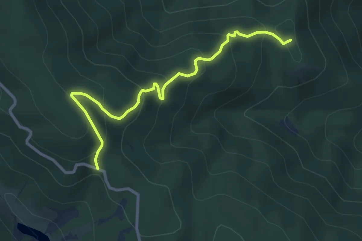
Medium · Trail
Sentiero di Torre Spina
6.7 km · ↑ 333 m · 2 h 18 min · 11 km away
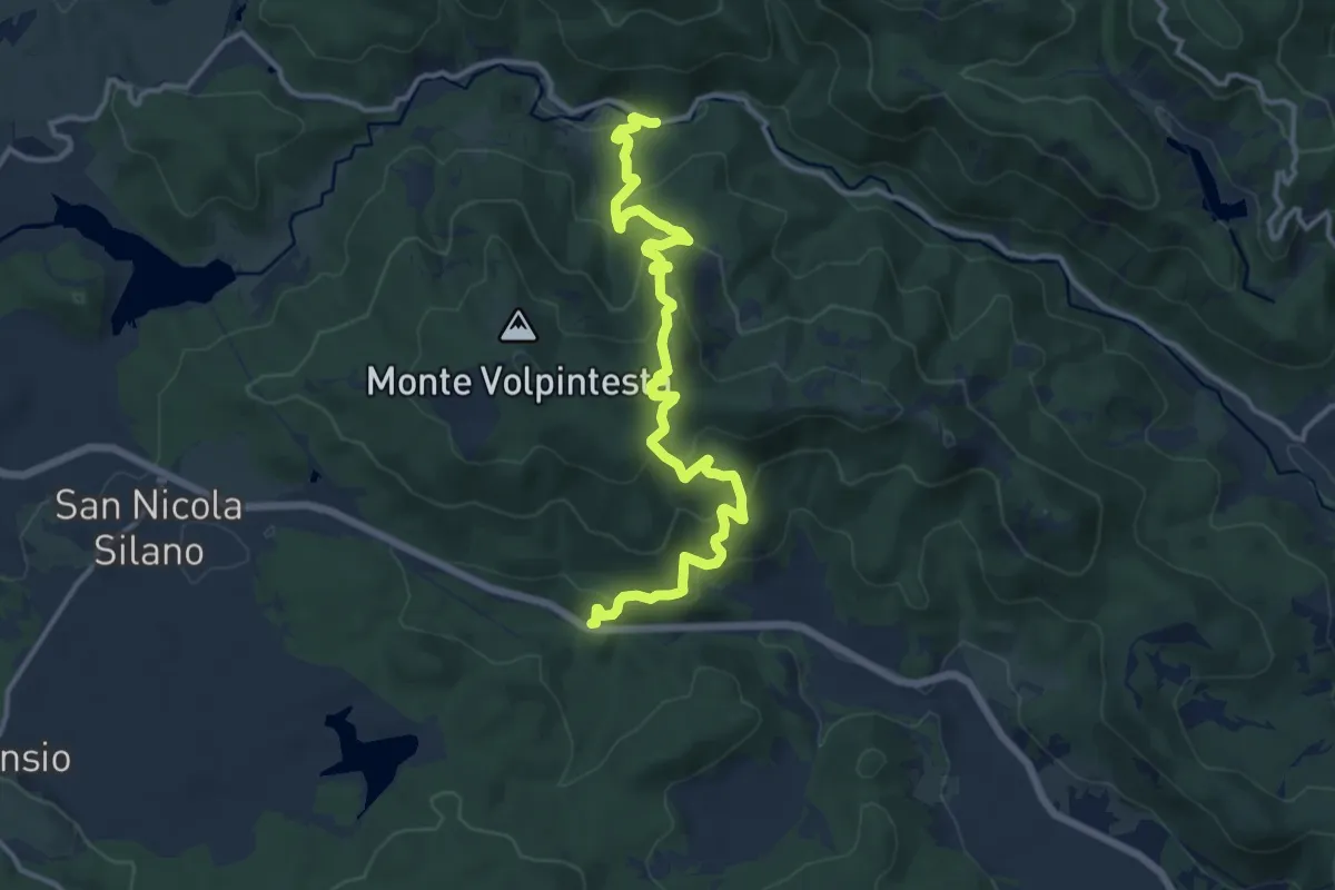
Demanding · Trail
Sentiero di Macchia di Pietro
16.5 km · ↑ 805 m · 5 h 38 min · 11 km away
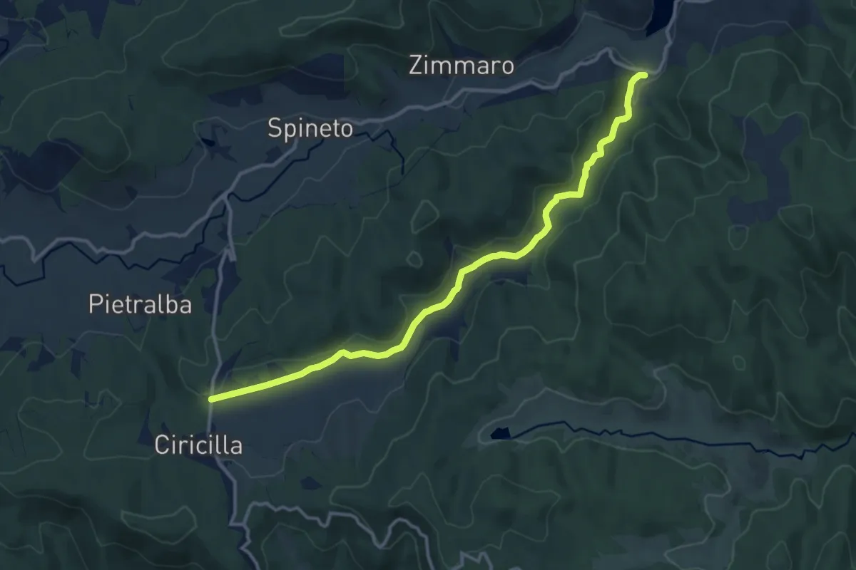
Medium · Trail
della valle di Ciricilla
14.3 km · ↑ 212 m · 3 h 49 min · 12 km away
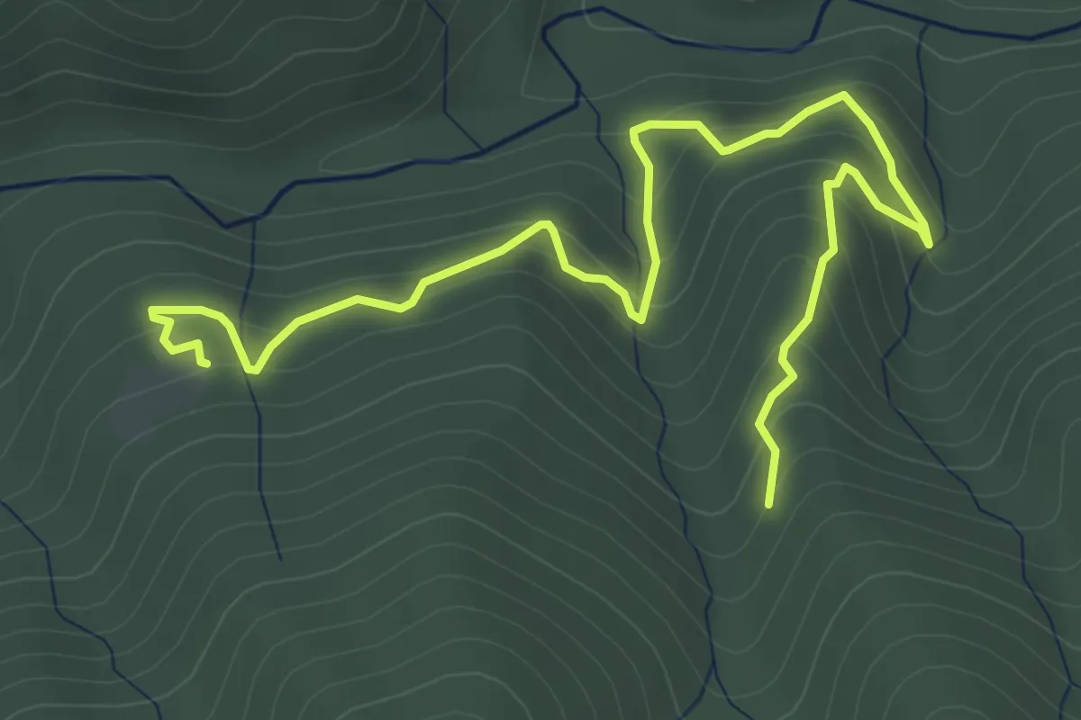
Medium · Trail
Sentiero della Tavola Parata
6.9 km · ↑ 447 m · 2 h 36 min · 13 km away
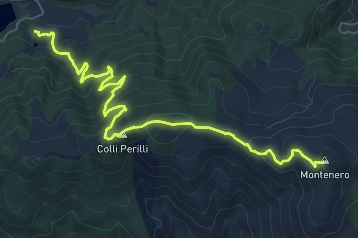
Medium · Summit
Sentiero di Montenero
17.6 km · ↑ 710 m · 5 h 42 min · 13 km away
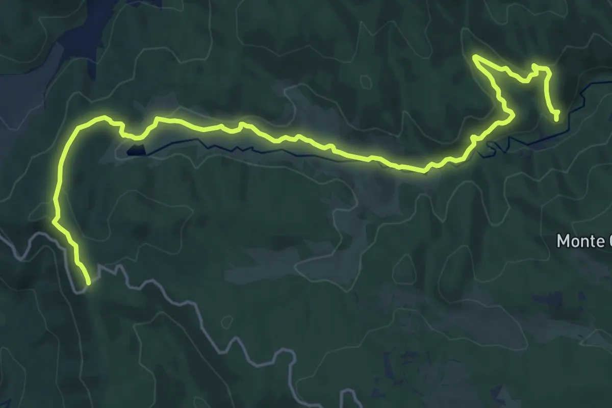
Demanding · Trail
Sentiero dell'Alta Valle del fiume Tacina
22.1 km · ↑ 608 m · 6 h 32 min · 13 km away
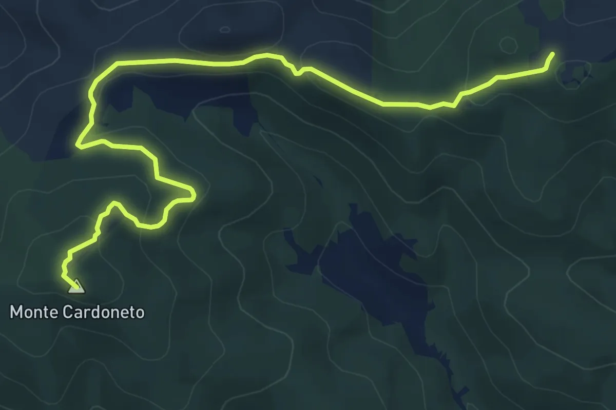
Medium · Summit
Sentiero del Cardoneto
11.3 km · ↑ 376 m · 3 h 30 min · 13 km away
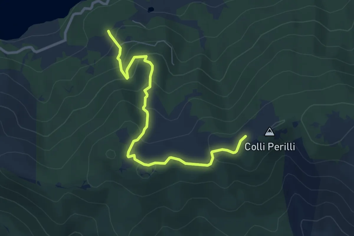
Medium · Trail
Sentiero della Croce dei Laghi
7.8 km · ↑ 385 m · 2 h 41 min · 13 km away
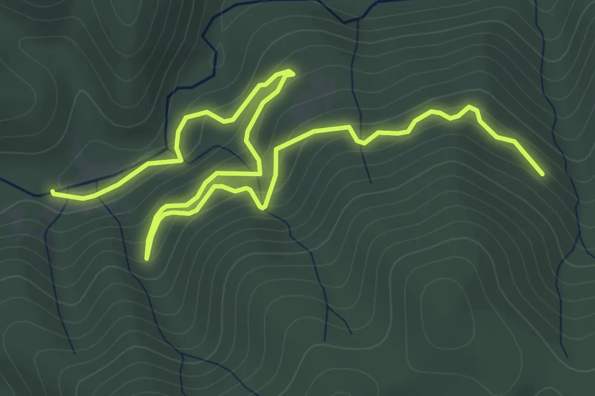
Medium · Trail
Sentiero del Tacina
9.0 km · ↑ 384 m · 2 h 58 min · 13 km away
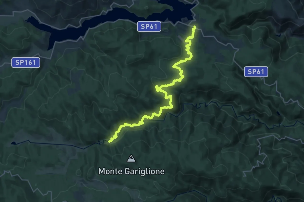
Medium · Trail
Sentiero della Pulitreia
13.2 km · ↑ 484 m · 4 h 22 min · 13 km away
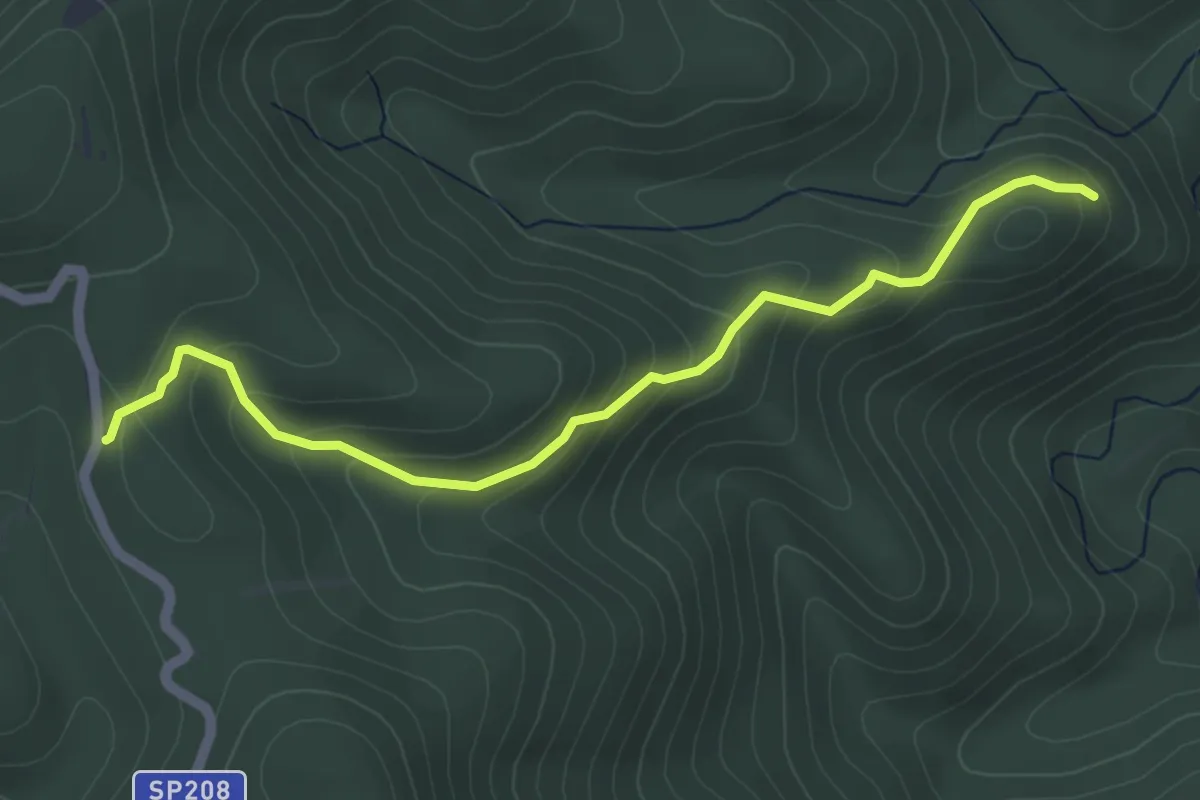
Easy · Trail
Sentiero del Destro della Madonna
5.5 km · ↑ 278 m · 1 h 54 min · 14 km away
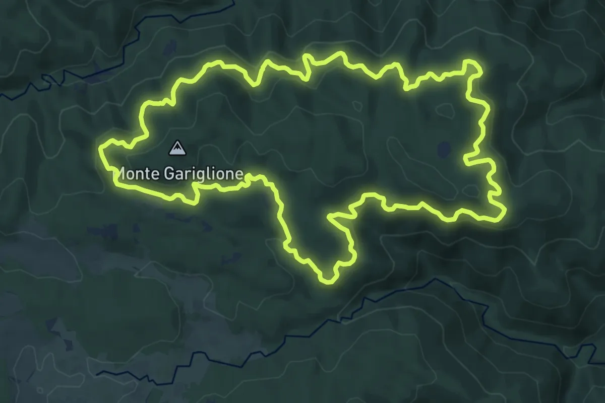
Demanding · Trail
Anello del Gariglione
18.3 km · ↑ 640 m · 5 h 58 min · 14 km away
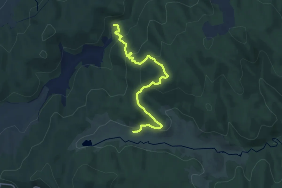
Medium · Trail
Sentiero della Vaccheria
10.6 km · ↑ 554 m · 3 h 42 min · 14 km away
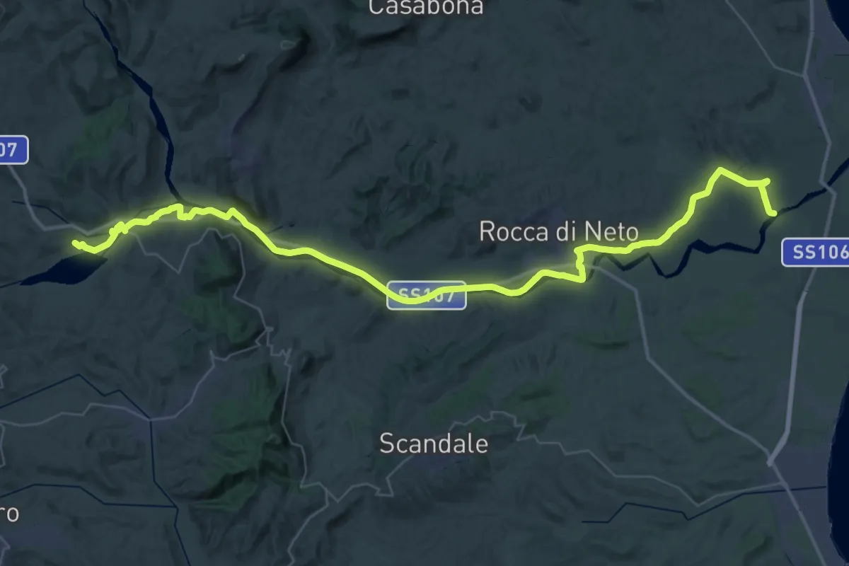
Demanding · Trail
Ciclopedonale della Val di Neto
29.2 km · ↑ 65 m · 7 h 30 min · 14 km away
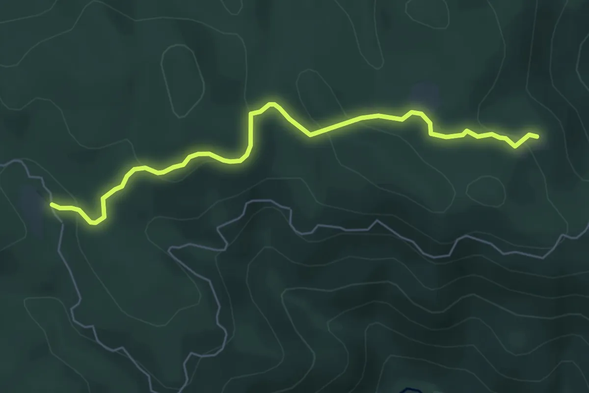
Easy · Trail
Sentiero della Pitinella
6.7 km · ↑ 262 m · 2 h 9 min · 14 km away
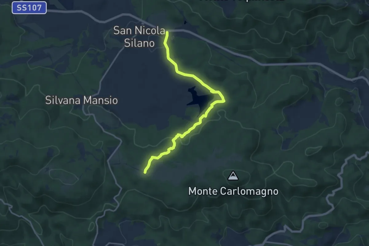
Medium · Trail
Sentiero del Votturino
13.3 km · ↑ 254 m · 3 h 42 min · 14 km away
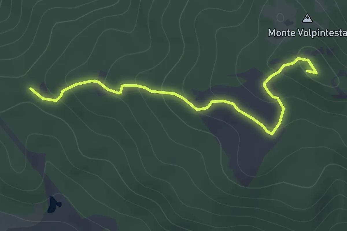
Easy · Summit
Sentiero di Volpintesta
5.3 km · ↑ 216 m · 1 h 43 min · 14 km away
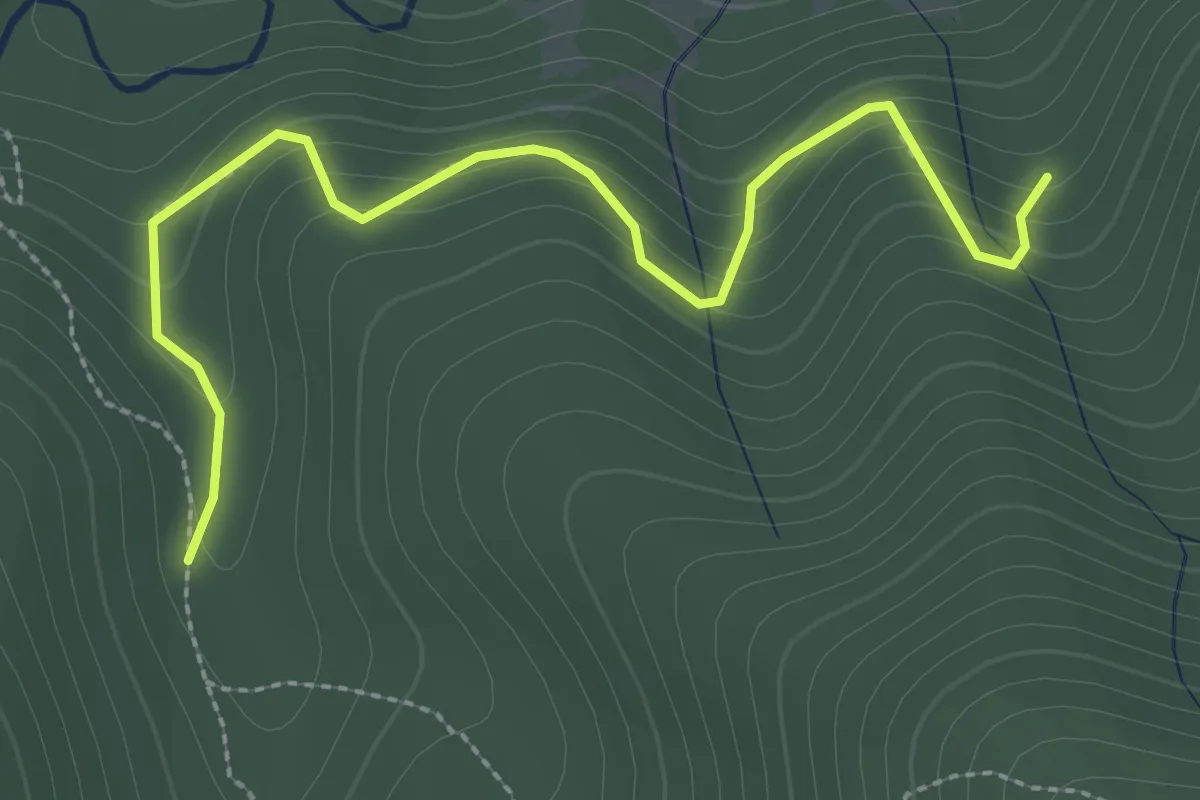
Easy · Trail
Sentiero dell'Acquedotto di Crotone
3.5 km · ↑ 252 m · 1 h 22 min · 14 km away
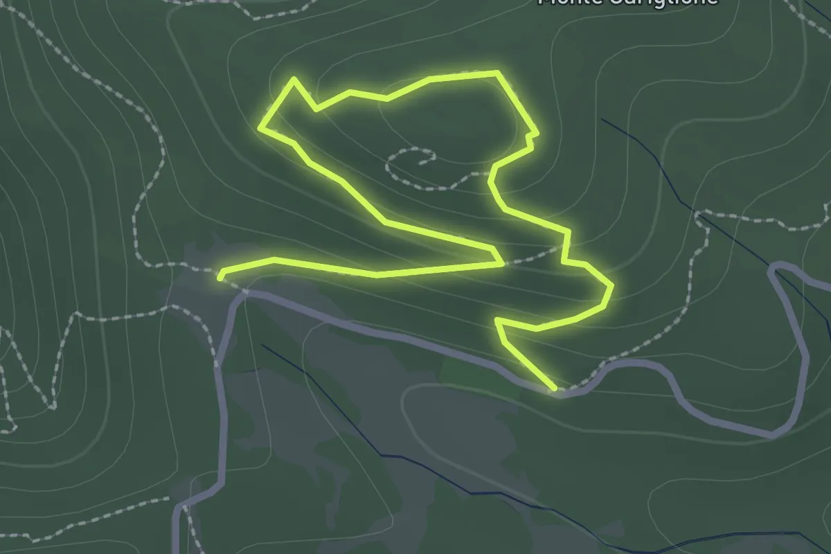
Easy · Trail
Sentiero dei Giganti
3.9 km · ↑ 162 m · 1 h 17 min · 14 km away
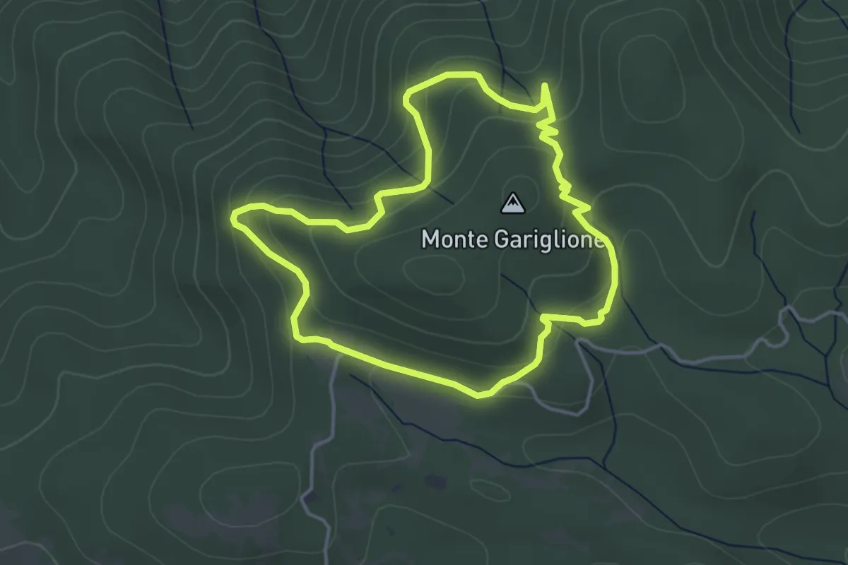
Easy · Trail
Anello del monte Gariglione
4.3 km · ↑ 155 m · 1 h 25 min · 14 km away
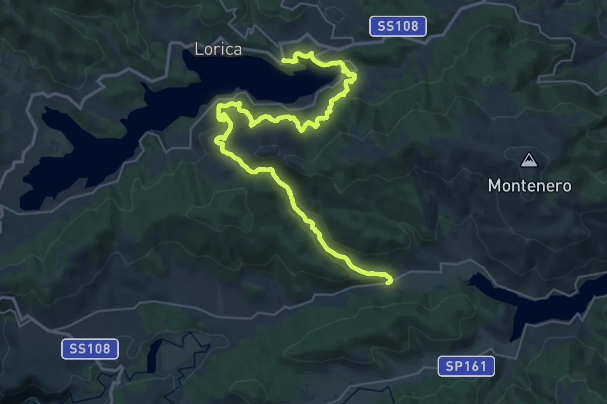
Medium · Trail
Caporosa – Lorica
15.7 km · ↑ 496 m · 5 h 2 min · 14 km away
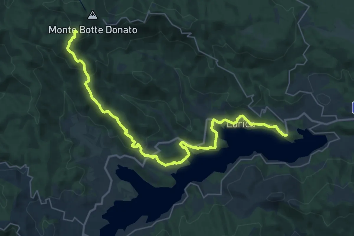
Demanding · Summit
Lorica – Rifugio Monte Botte Donato
28.1 km · ↑ 900 m · 8 h 36 min · 15 km away
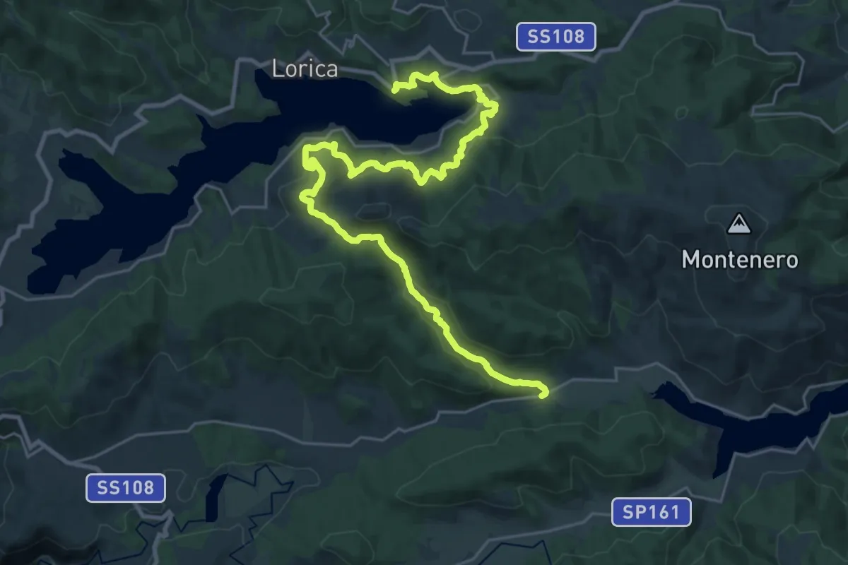
Medium · Trail
Caporosa – Lorica
15.9 km · ↑ 483 m · 5 h 2 min · 15 km away
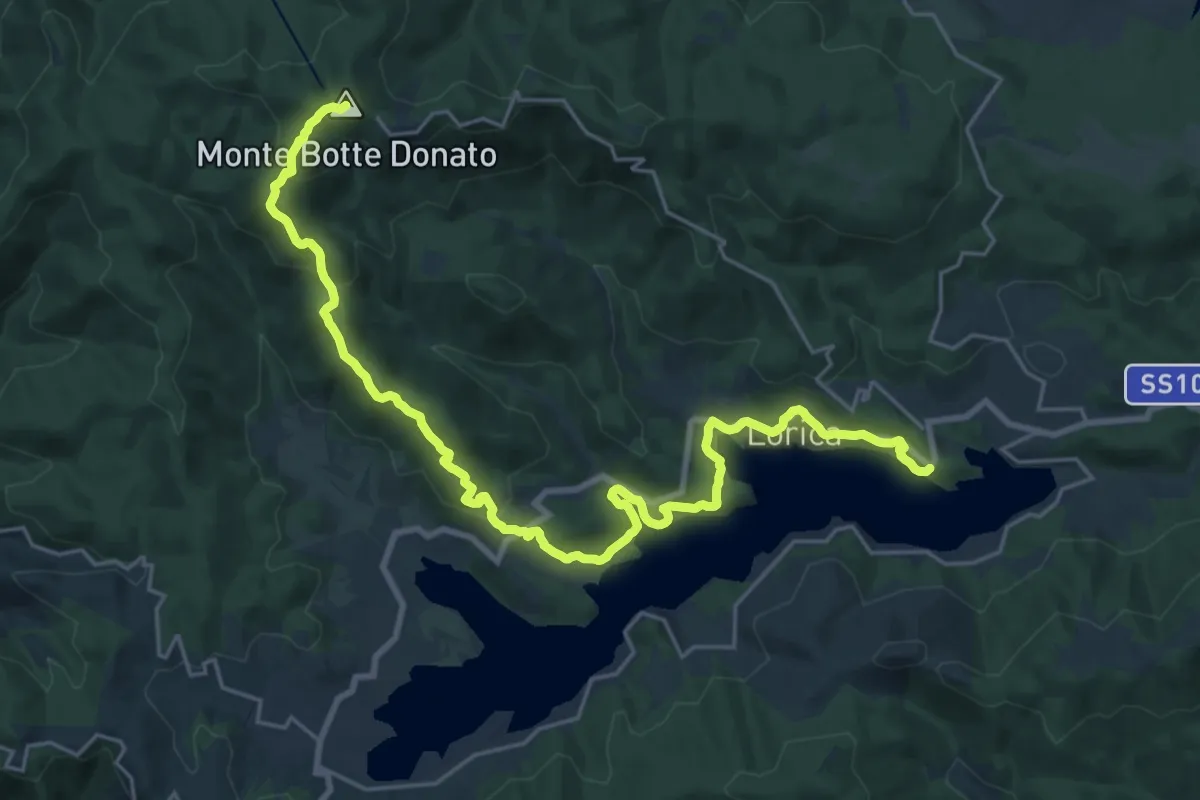
Demanding · Summit
Lorica – Botte Donato
30.8 km · ↑ 1049 m · 9 h 33 min · 15 km away
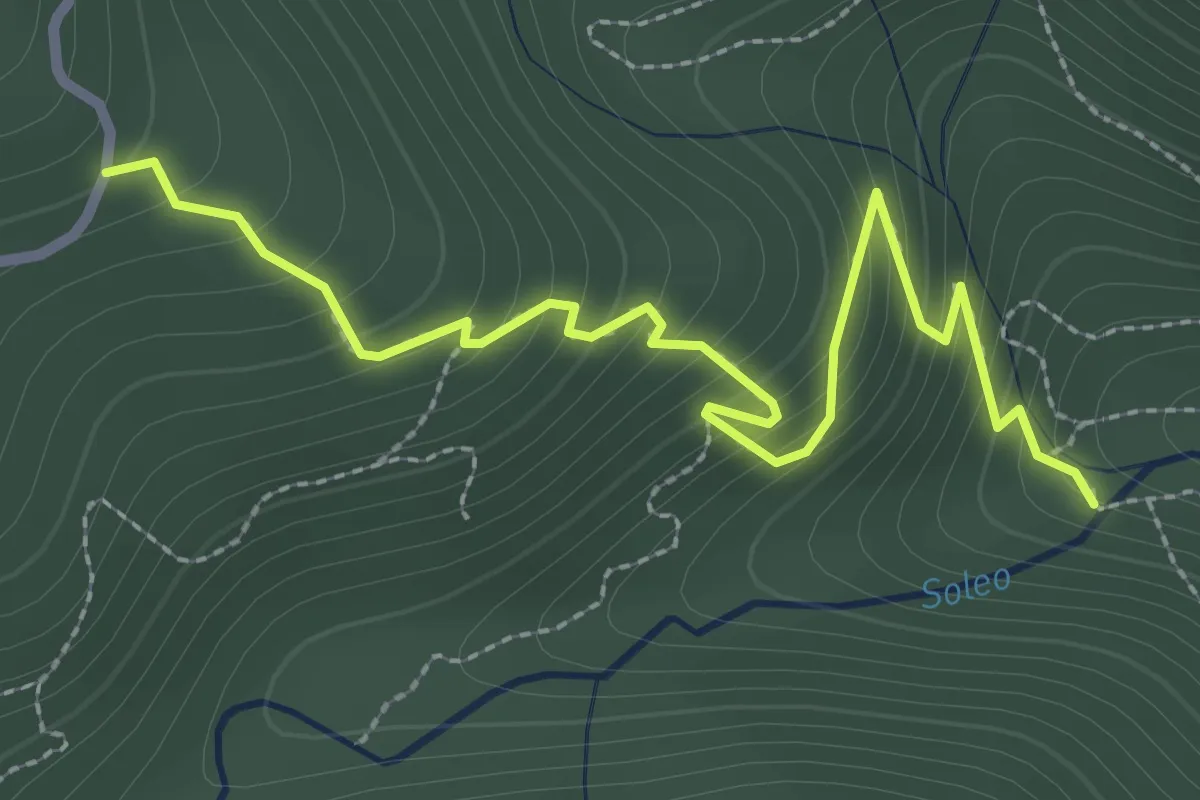
Medium · Trail
Sentiero del Soleo
3.5 km · ↑ 336 m · 1 h 33 min · 15 km away
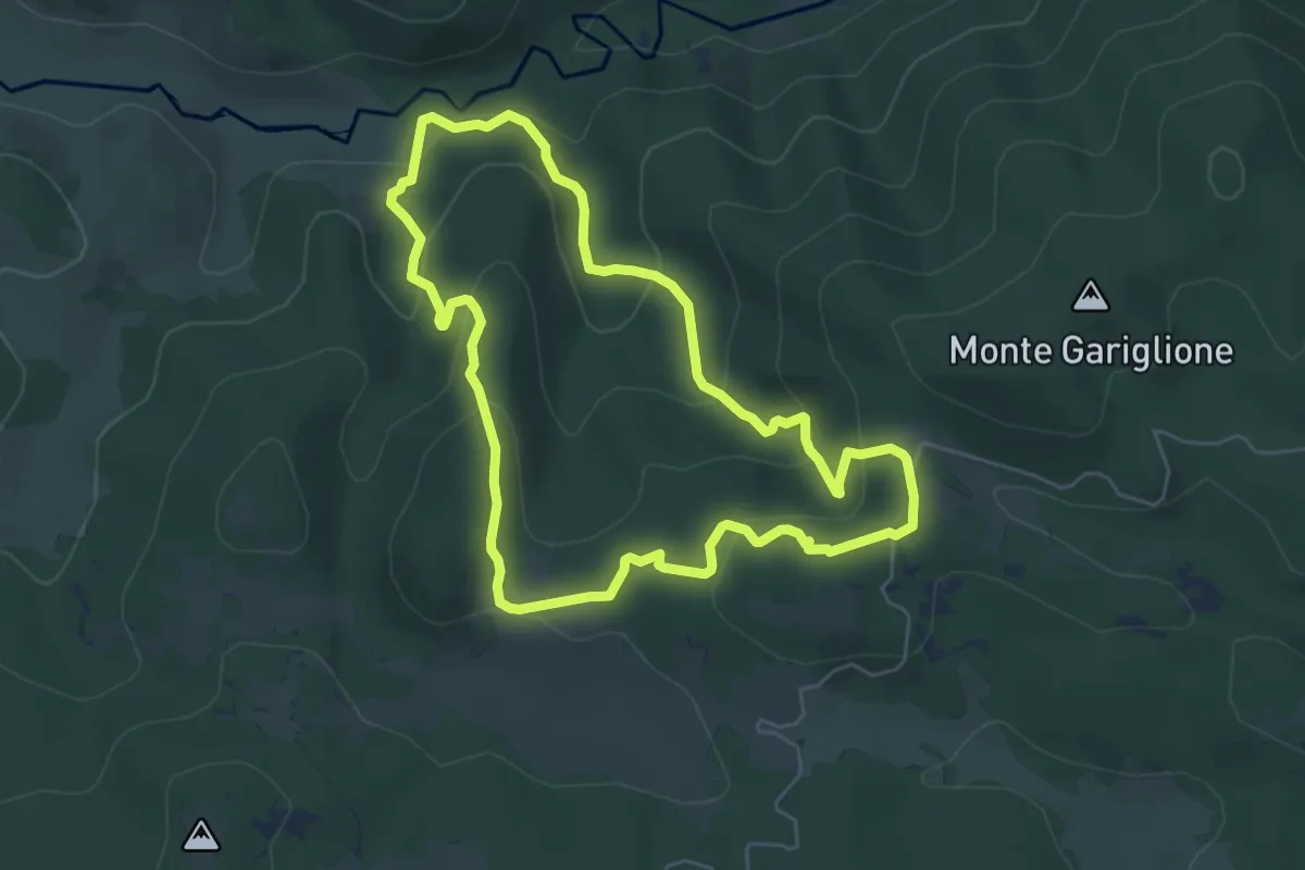
Easy · Trail
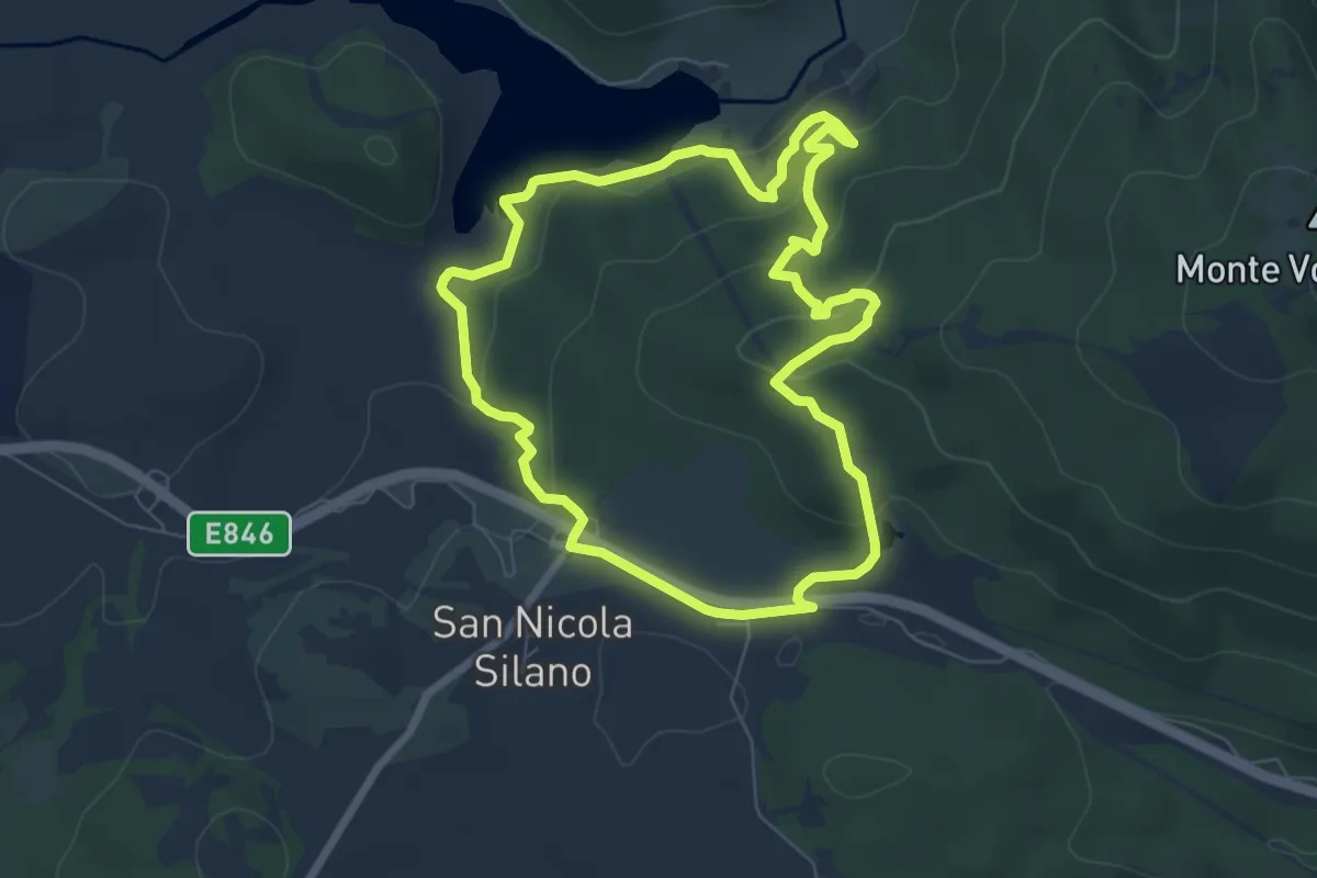
Anello del Pisarello
6.3 km · ↑ 278 m · 2 h 11 min · 15 km away
Easy · Trail
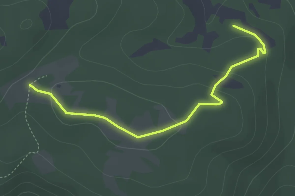
Anello dell'Ariamacina
7.7 km · ↑ 264 m · 2 h 30 min · 15 km away
Medium · Trail
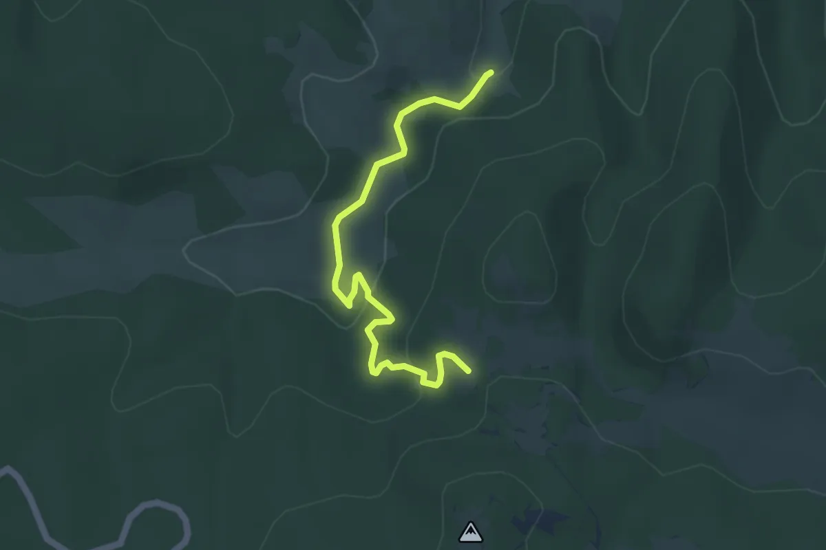
Sentiero da Petra el'Atari
4.6 km · ↑ 95 m · 1 h 18 min · 15 km away
Easy · Trail
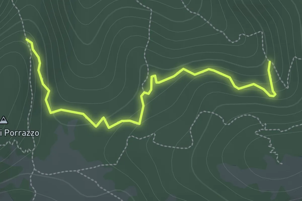
Sentiero delle Sette Fontane
5.2 km · ↑ 166 m · 1 h 35 min · 15 km away
Easy · Trail
Sentiero dei Carbonai bosco Pisarello
3.6 km · ↑ 140 m · 1 h 10 min · 15 km away