Trails near San Giovanni Valdarno
89 hikes starting within 15 km, nearest first.
Nearest first, page 2 of 2
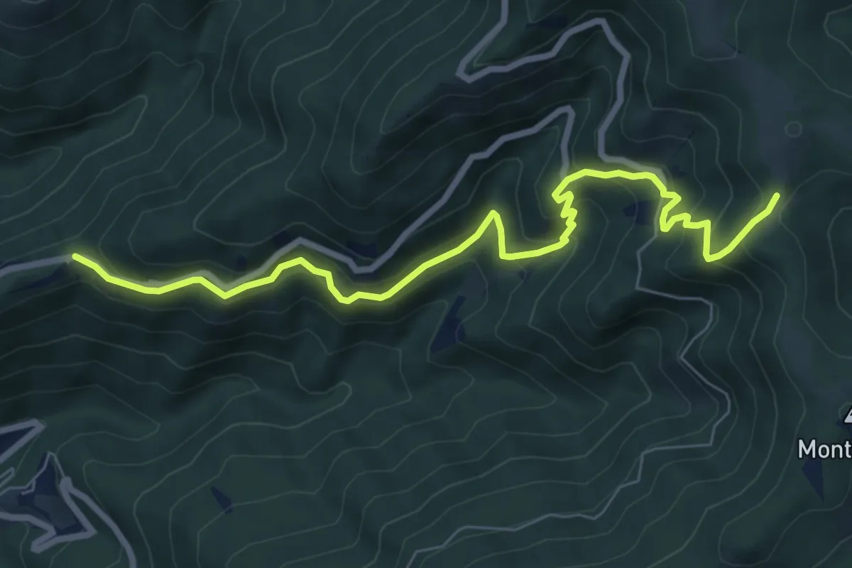
Medium · Trail
Trappola – sent. 00
8.3 km · ↑ 696 m · 3 h 28 min · 12 km away
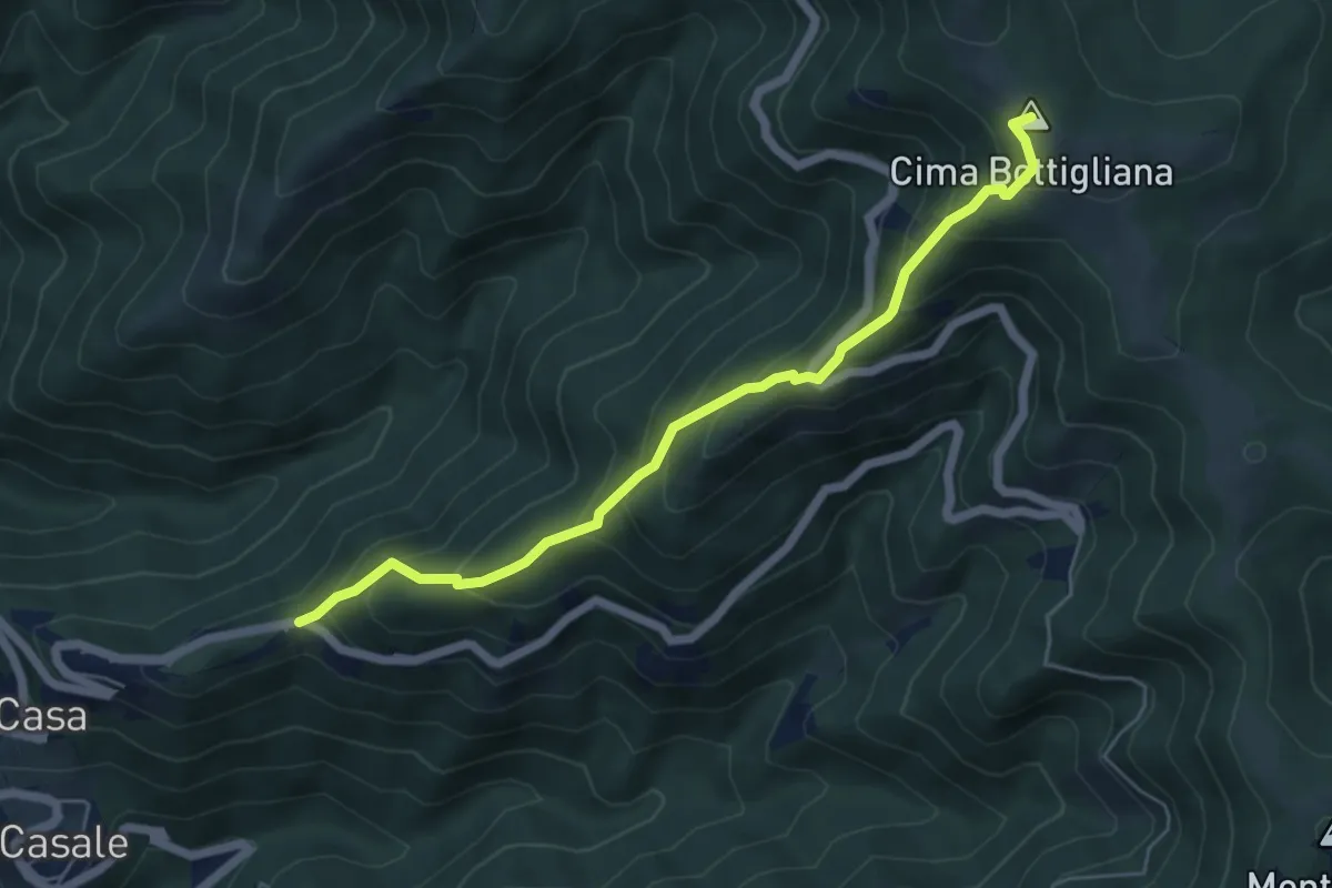
Medium · Summit
Trappola – Sentiero 00 Bottigliana
5.9 km · ↑ 571 m · 2 h 38 min · 12 km away
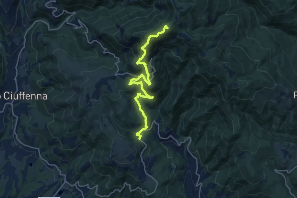
Demanding · Summit
sent. 39 Faeto – sent. 00 Monte di Loro
13.7 km · ↑ 882 m · 5 h 9 min · 12 km away
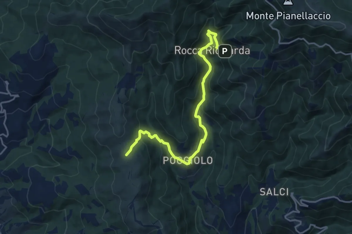
Medium · Trail
Sentiero 21,ex mulino rocca ricciarda – Sentiero 35 crinale di cocollo
12.8 km · ↑ 633 m · 4 h 24 min · 12 km away
Medium · Trail
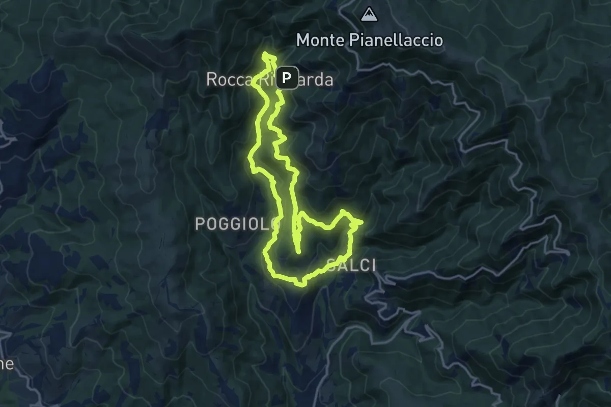
Via del Castagno
13.1 km · ↑ 750 m · 4 h 54 min · 12 km away
Medium · Trail
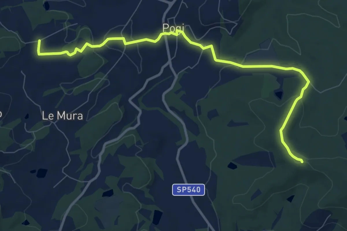
Tontenano – Sentiero 127 pressi Castiglion Alberti
9.6 km · ↑ 188 m · 2 h 41 min · 12 km away
Easy · Trail
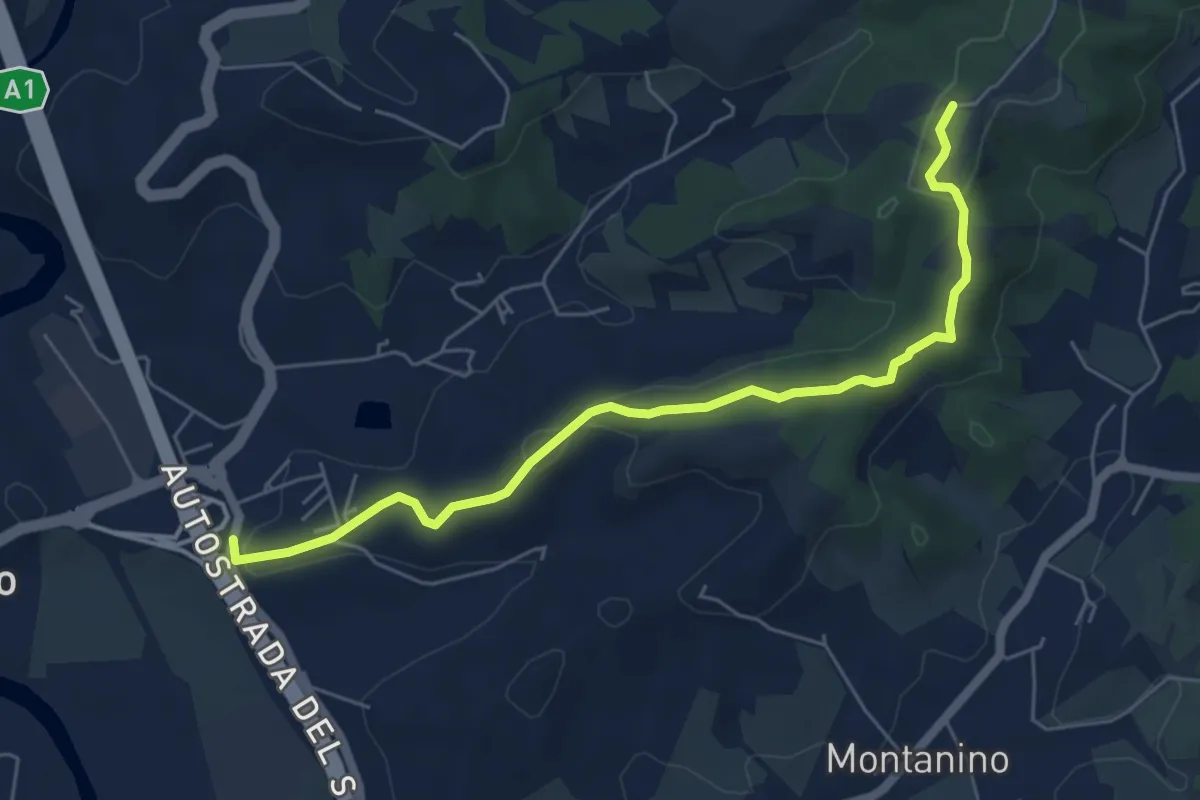
Poggio Alberti / Cetina – Itinerario R24 / Tegna
6.4 km · ↑ 118 m · 1 h 46 min · 12 km away
Medium · Trail
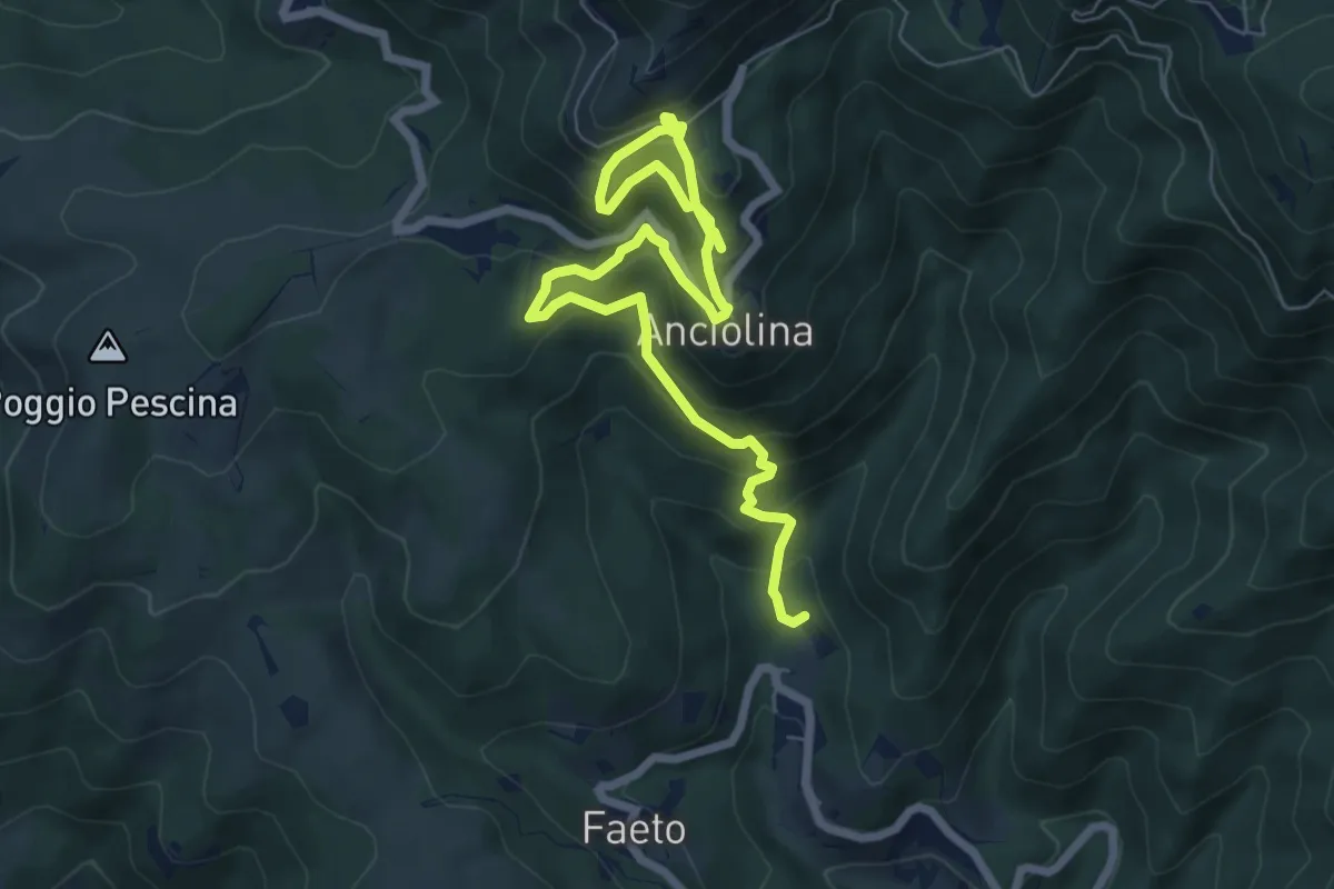
ANPI - Cammino partigiano
9.1 km · ↑ 759 m · 3 h 47 min · 13 km away
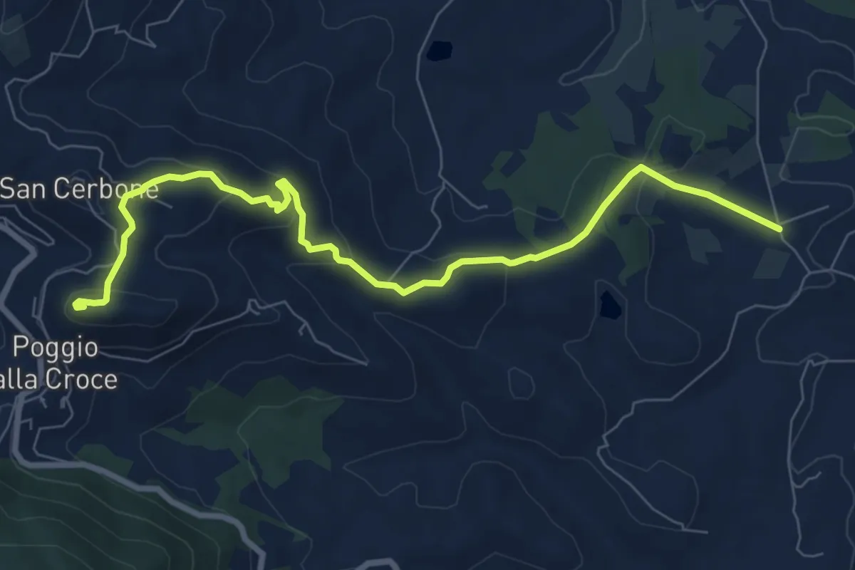
Medium · Summit
Loppiano – Poggio alla Croce
8.7 km · ↑ 351 m · 2 h 49 min · 13 km away
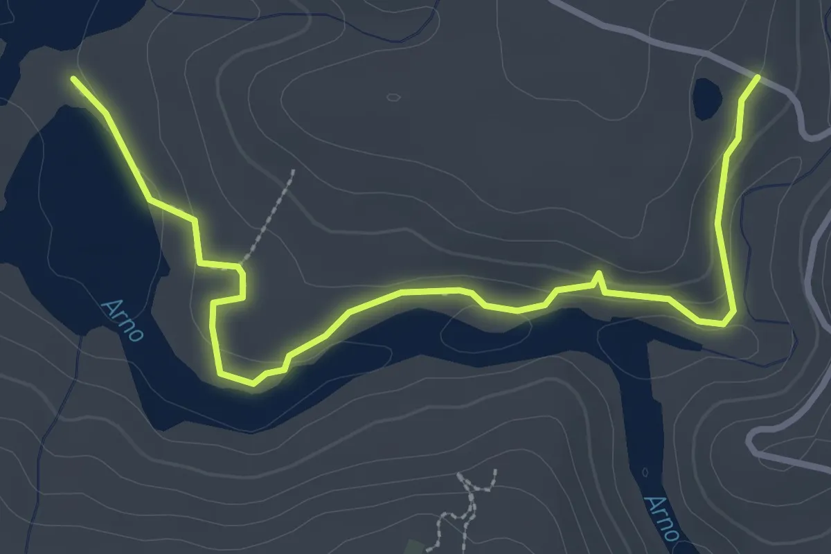
Easy · Trail
C -Sentiero della Terrazza sull'Agna
3.8 km · ↑ 93 m · 1 h 6 min · 13 km away
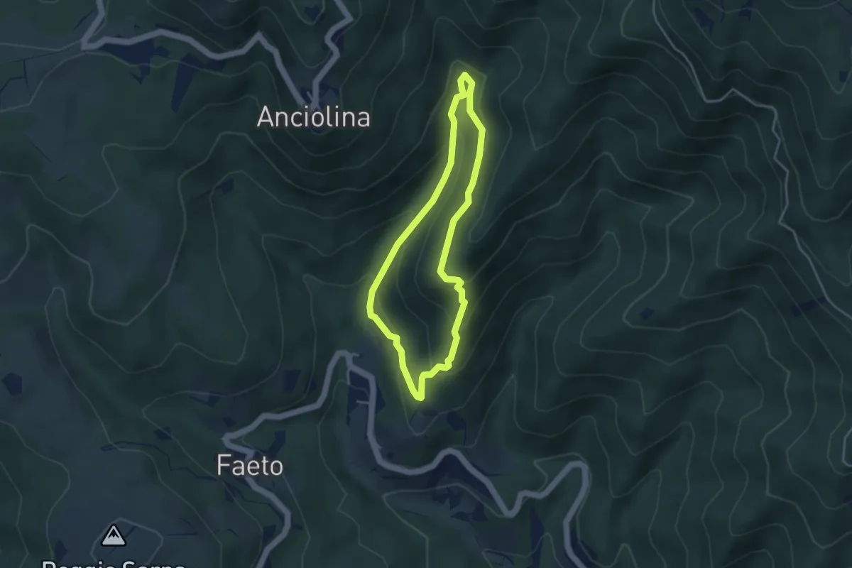
Easy · Trail
ANPI - Cammino partigiano
3.4 km · ↑ 211 m · 1 h 18 min · 13 km away
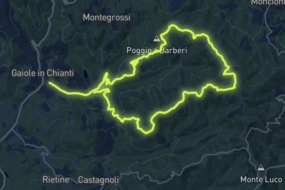
Medium · Summit
Trekking tra i castelli 2
15.3 km · ↑ 540 m · 5 h 1 min · 13 km away
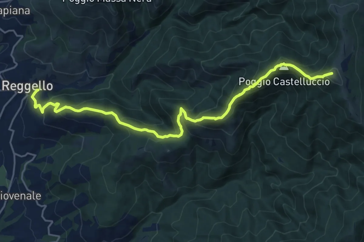
Demanding · Summit
Reggello – Uomo di Sasso
16.0 km · ↑ 1209 m · 6 h 24 min · 13 km away
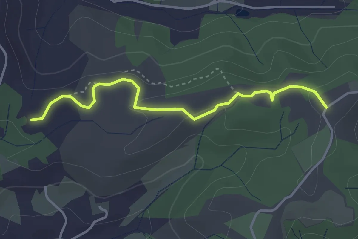
Easy · Trail
Cimitero di Rota – itinerario R24
3.3 km · ↑ 73 m · 56 min · 13 km away
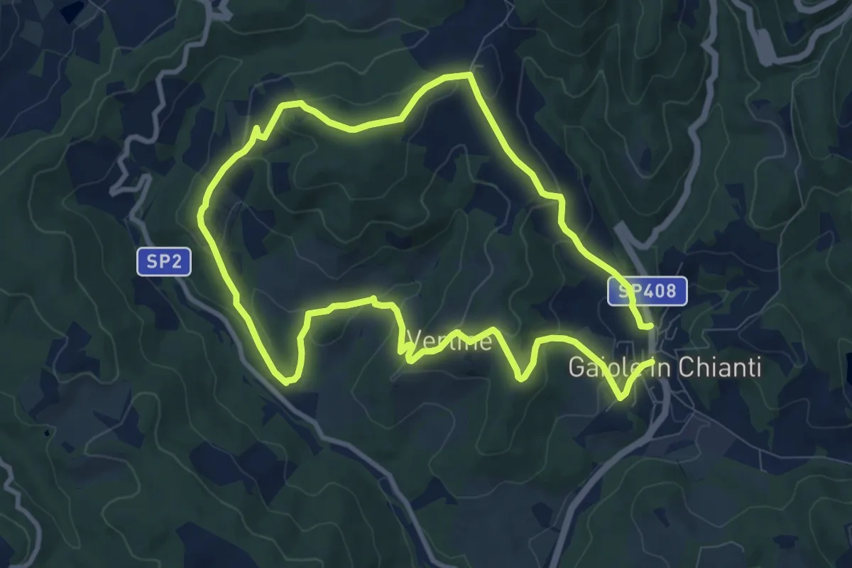
Medium · Trail
Trekking tra i castelli 5
9.2 km · ↑ 358 m · 3 h 5 min · 13 km away
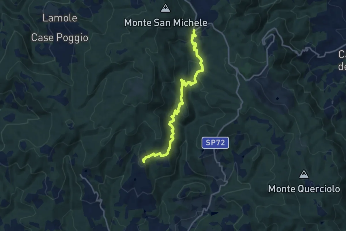
Medium · Trail
Volpaia – Badia a Montemuro
11.2 km · ↑ 529 m · 3 h 47 min · 13 km away
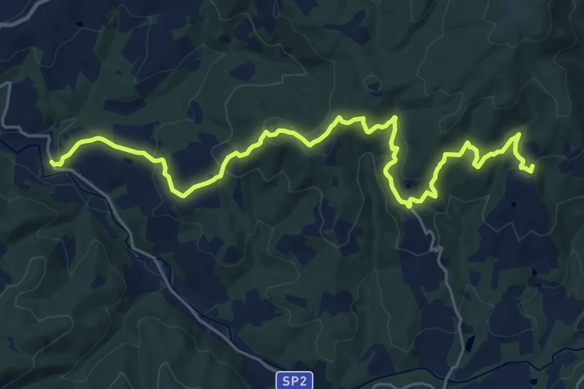
Demanding · Trail
Volpaia – Lucarelli
19.3 km · ↑ 858 m · 6 h 25 min · 13 km away
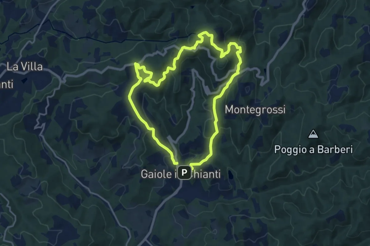
Medium · Summit
Trekking tra i castelli 6 (CETAMURA)
11.7 km · ↑ 526 m · 4 h 4 min · 13 km away
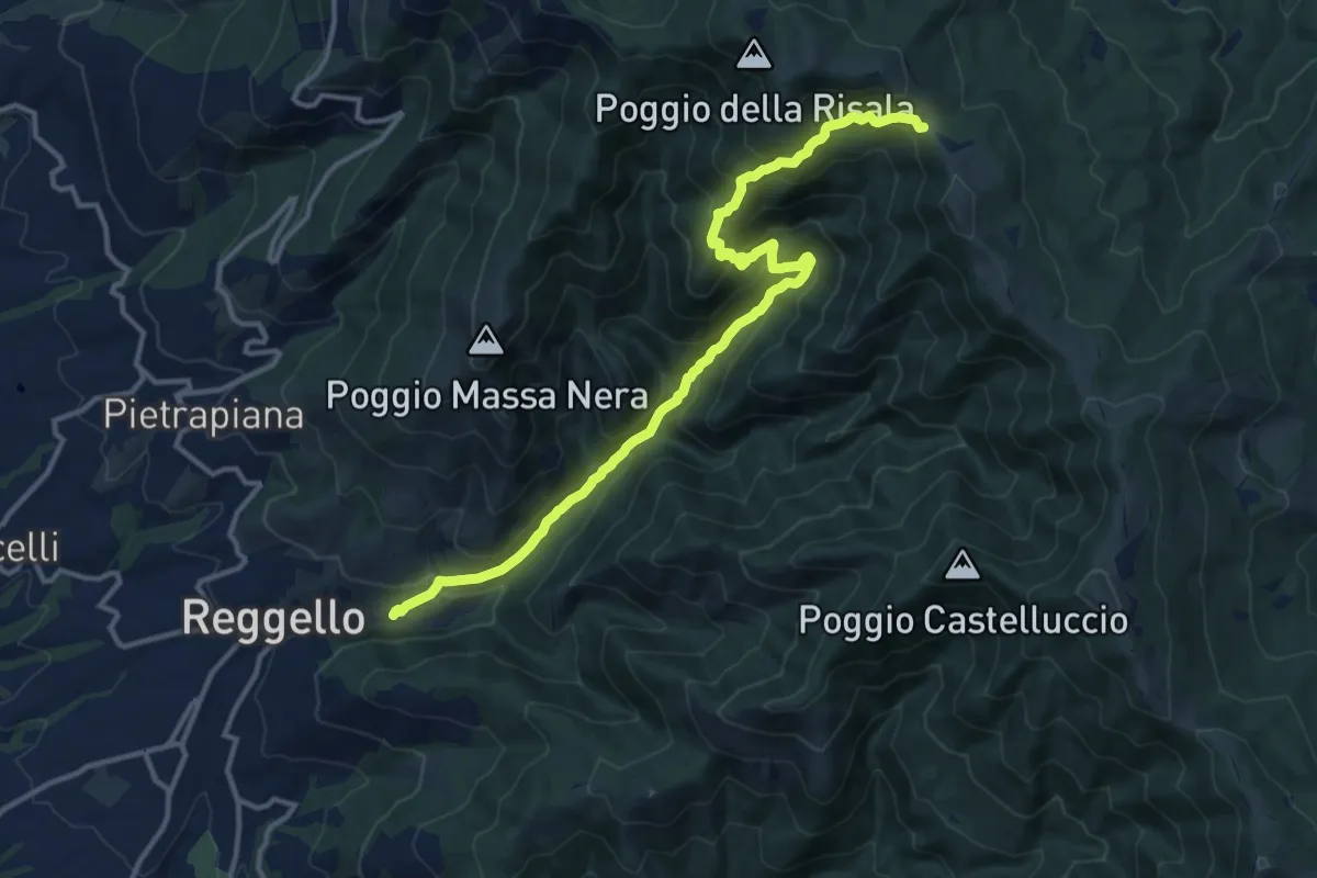
Demanding · Trail
Reggello – Croce di Cardeto
14.9 km · ↑ 1049 m · 5 h 47 min · 13 km away
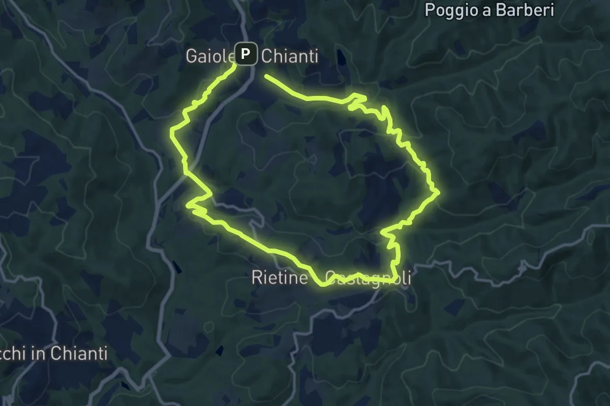
Medium · Trail
Trekking tra i castelli 3
12.2 km · ↑ 420 m · 3 h 58 min · 13 km away
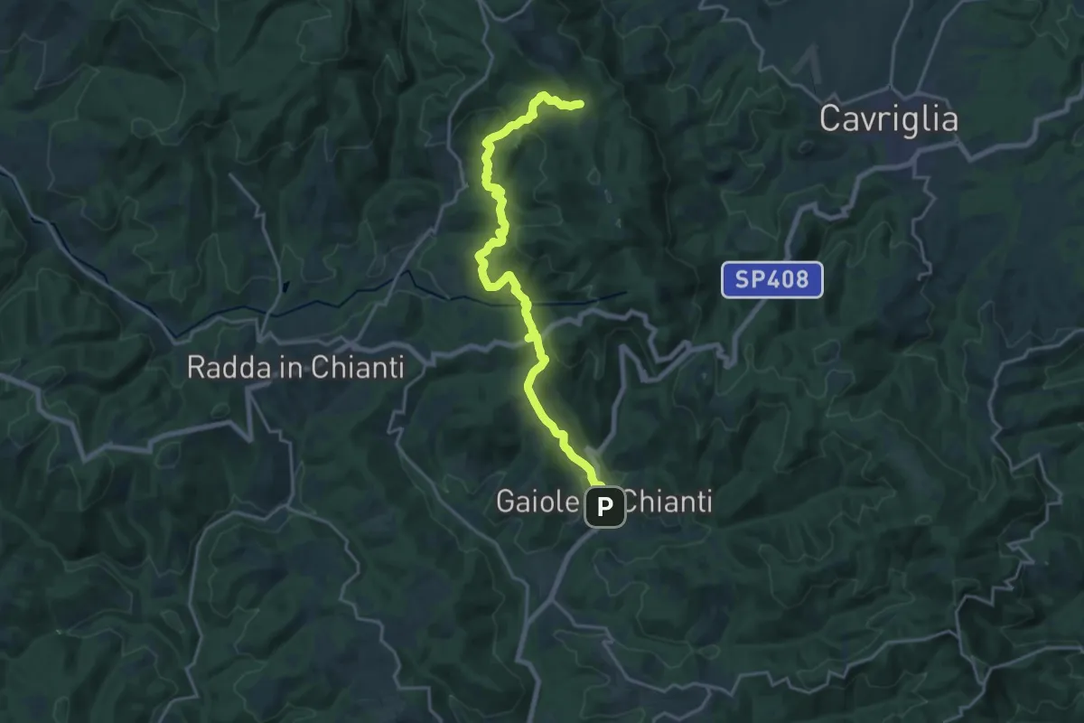
Demanding · Trail
Sentiero 00 – Gaiole in Chianti
20.1 km · ↑ 830 m · 6 h 33 min · 13 km away
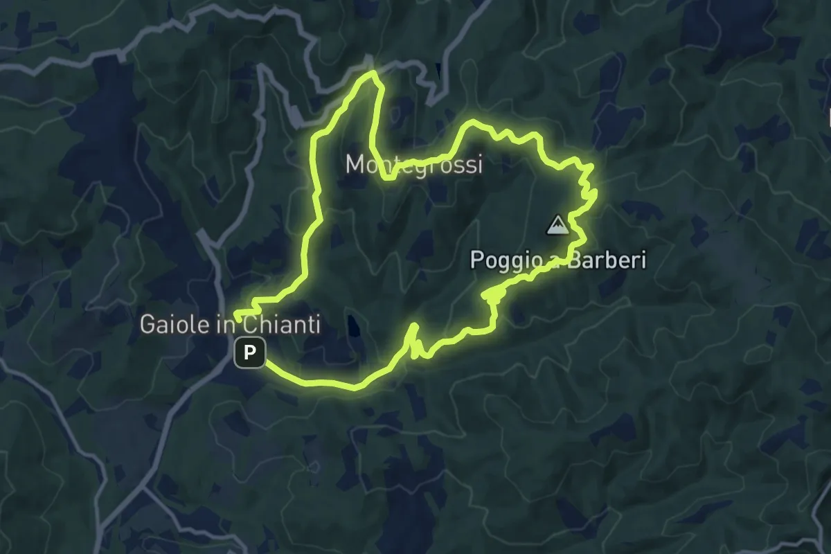
Medium · Summit
Trekking tra i castelli 1 (MONTEGROSSI)
13.1 km · ↑ 443 m · 4 h 13 min · 13 km away
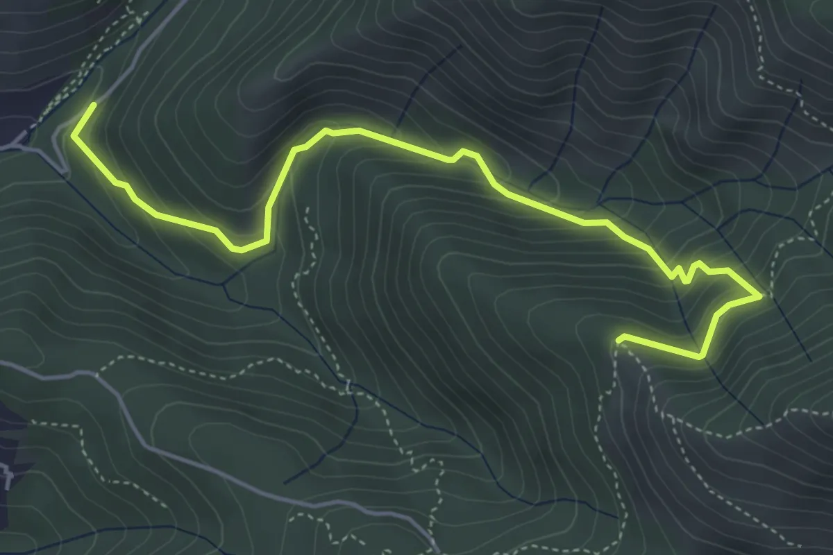
Medium · Trail
Ponte a Enna – Innesto 7
5.5 km · ↑ 466 m · 2 h 19 min · 13 km away
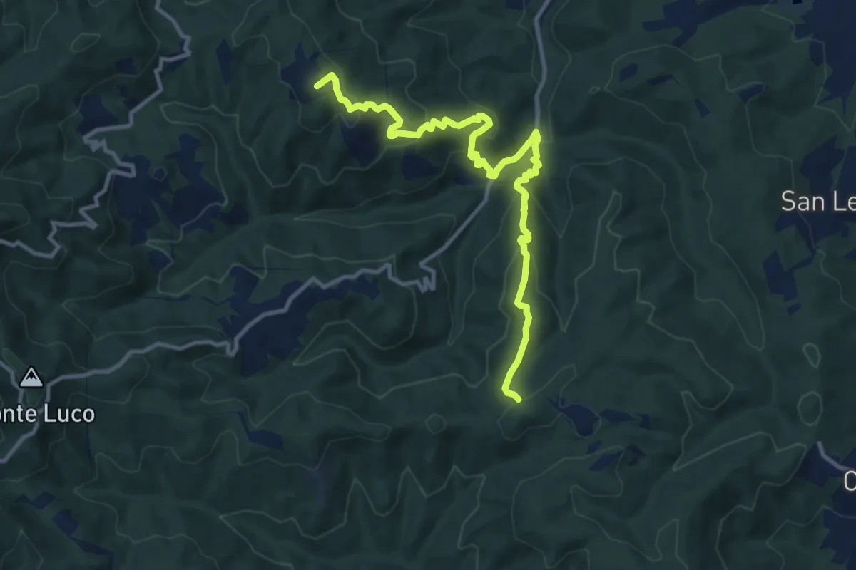
Medium · Summit
sent. 45 Poggio Civitella – sent. 00 Aquila
11.9 km · ↑ 669 m · 4 h 15 min · 14 km away
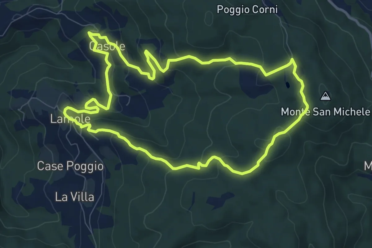
Medium · Summit
Anello di Lamole
8.9 km · ↑ 431 m · 3 h 9 min · 14 km away
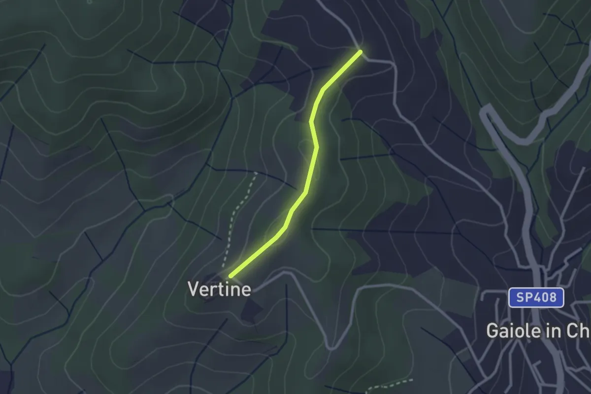
Easy · Trail
Trekking tra i castelli 5B
2.1 km · ↑ 70 m · 39 min · 14 km away
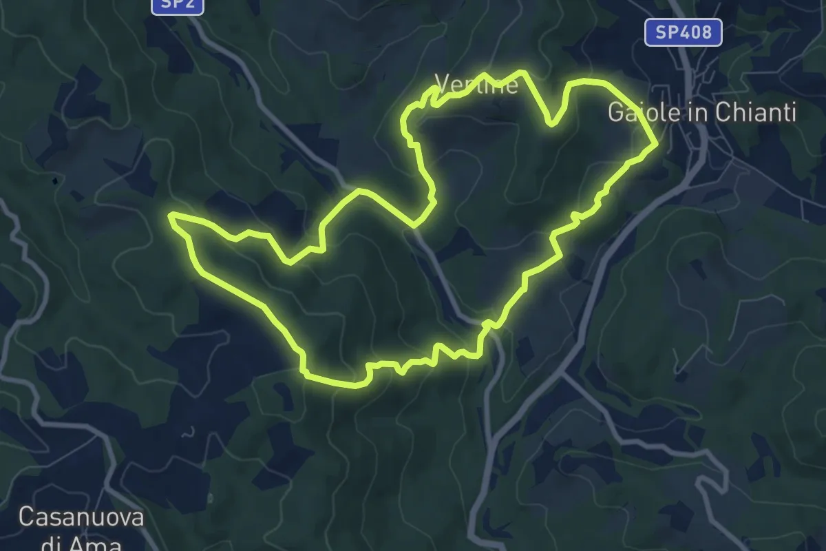
Medium · Trail
Trekking tra i castelli 4
9.4 km · ↑ 428 m · 3 h 17 min · 14 km away
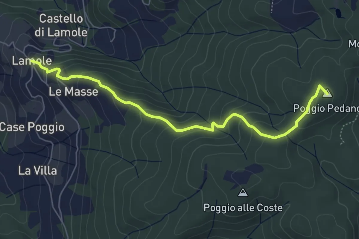
Easy · Summit
Lamole – Monte San Michele
5.7 km · ↑ 312 m · 2 h 2 min · 14 km away
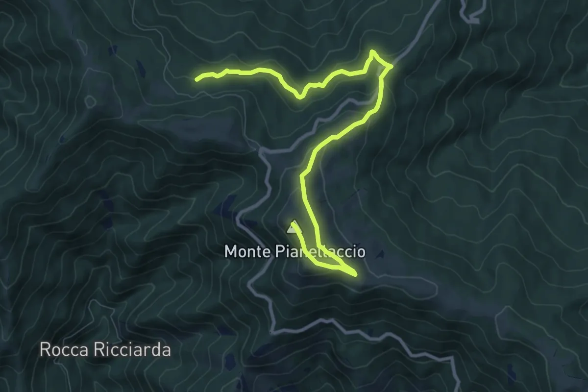
Medium · Summit
Hinkler Ring
10.3 km · ↑ 458 m · 3 h 25 min · 14 km away
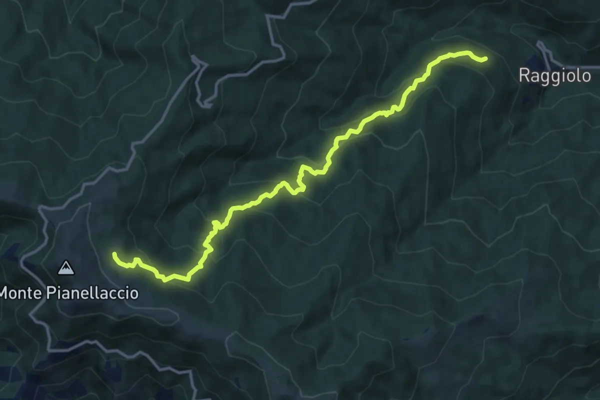
Demanding · Trail
Sentiero 30 presso Raggiolo – Sentiero 942 presso Fonte del Duca
12.7 km · ↑ 991 m · 5 h 9 min · 14 km away
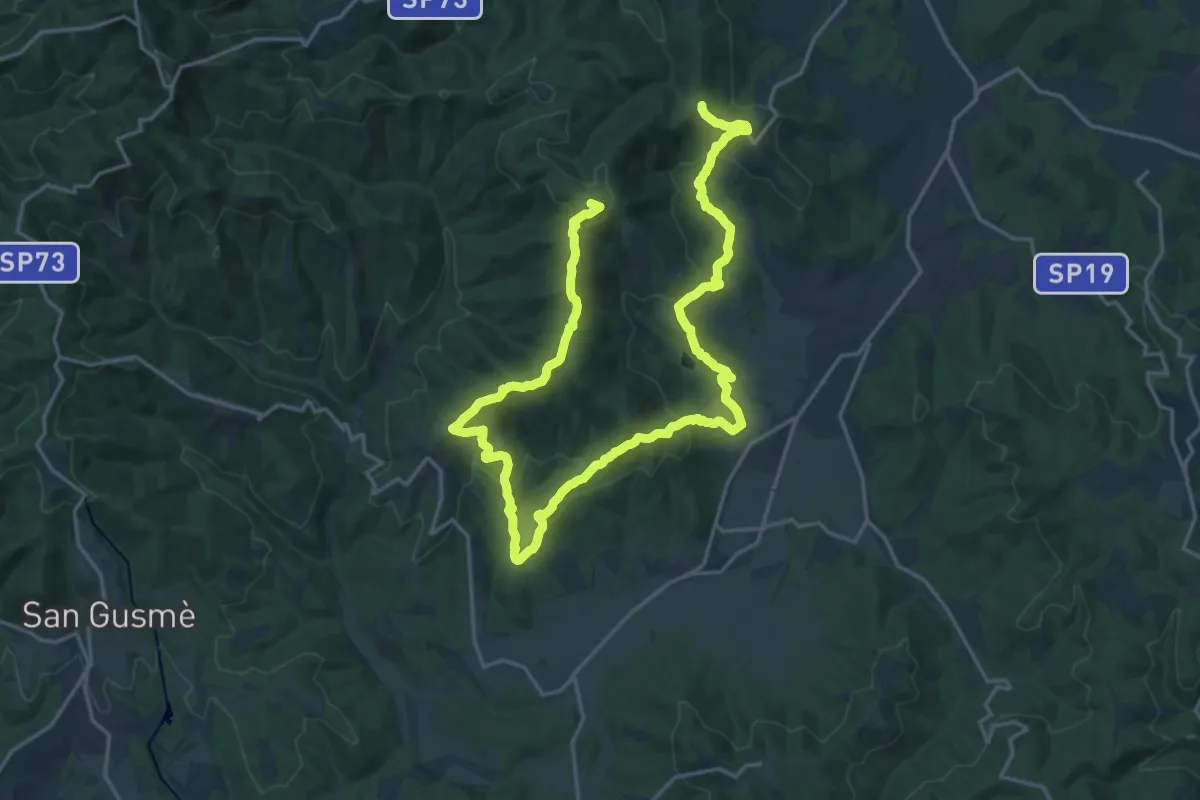
Demanding · Summit
sent. 45 P. Marianna – sent. 45 Monte di Rota
30.5 km · ↑ 1210 m · 9 h 50 min · 14 km away
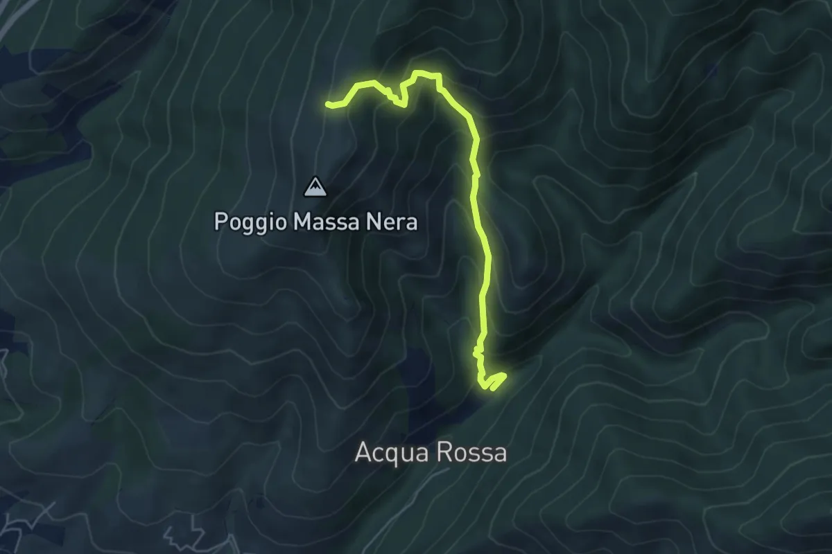
Medium · Cabin
Reggello – Massanera
5.0 km · ↑ 521 m · 2 h 18 min · 14 km away
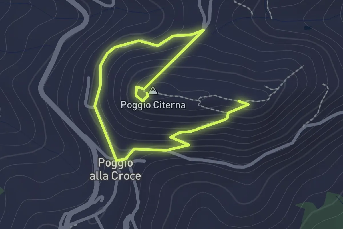
Medium · Summit
Sentiero naturalistico di Poggio Citerna
1.6 km · ↑ 73 m · 34 min · 14 km away
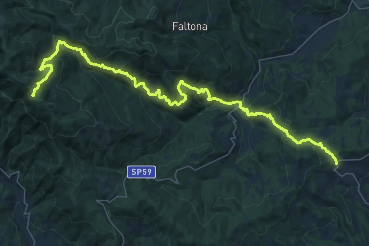
Medium · Trail
Innesto sentiero 900 presso Migliarino – innesto sentiero 900 presso Abetina dei Bardi
17.1 km · ↑ 611 m · 5 h 55 min · 15 km away
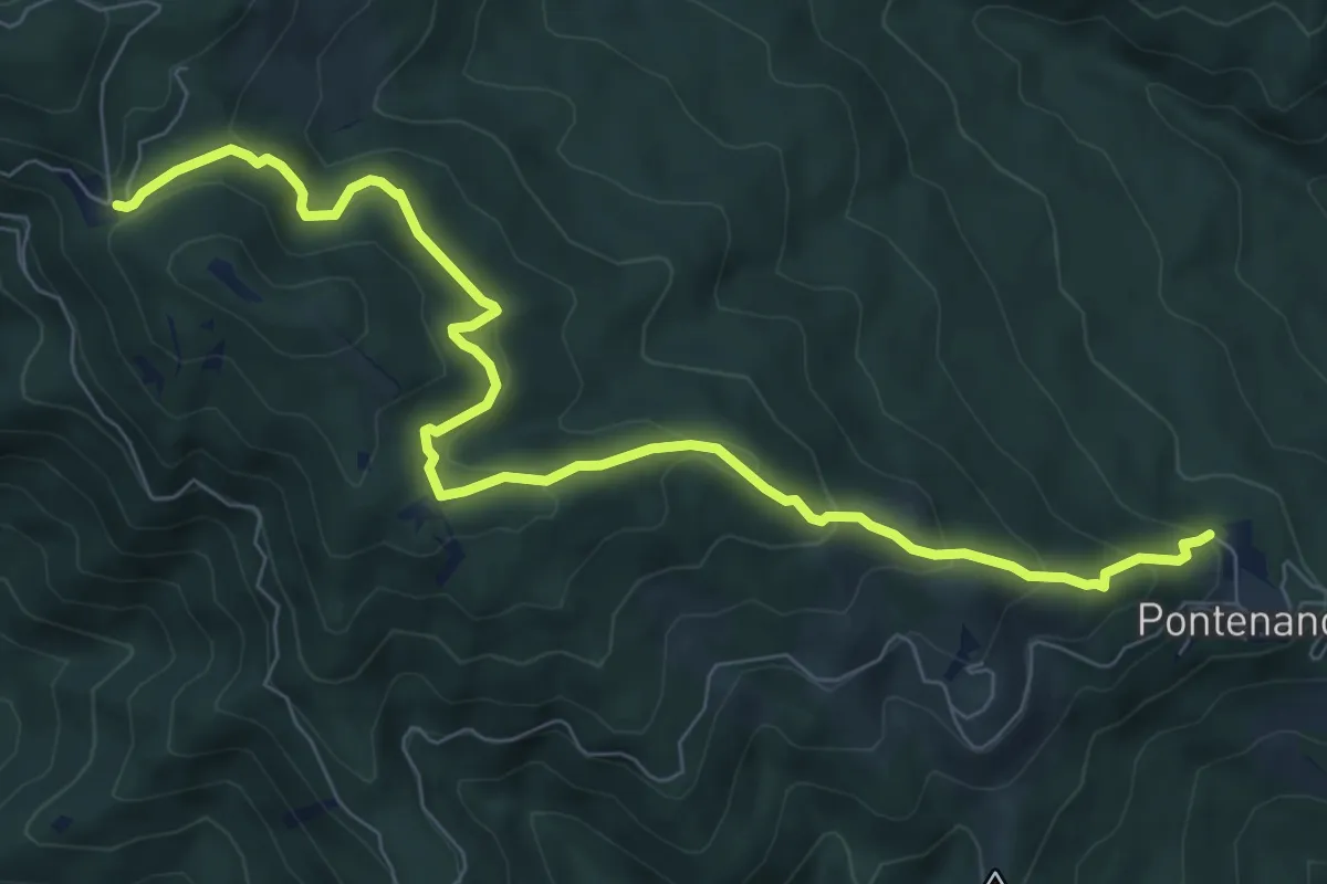
Medium · Trail
Pontenano – Sentiero 900 presso Abetina dei Bardi
9.6 km · ↑ 540 m · 3 h 26 min · 15 km away
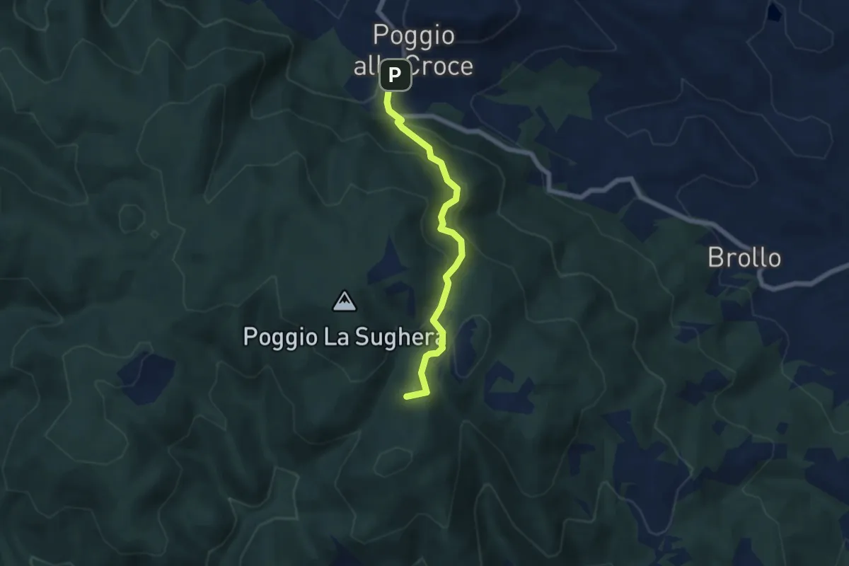
Demanding · Summit
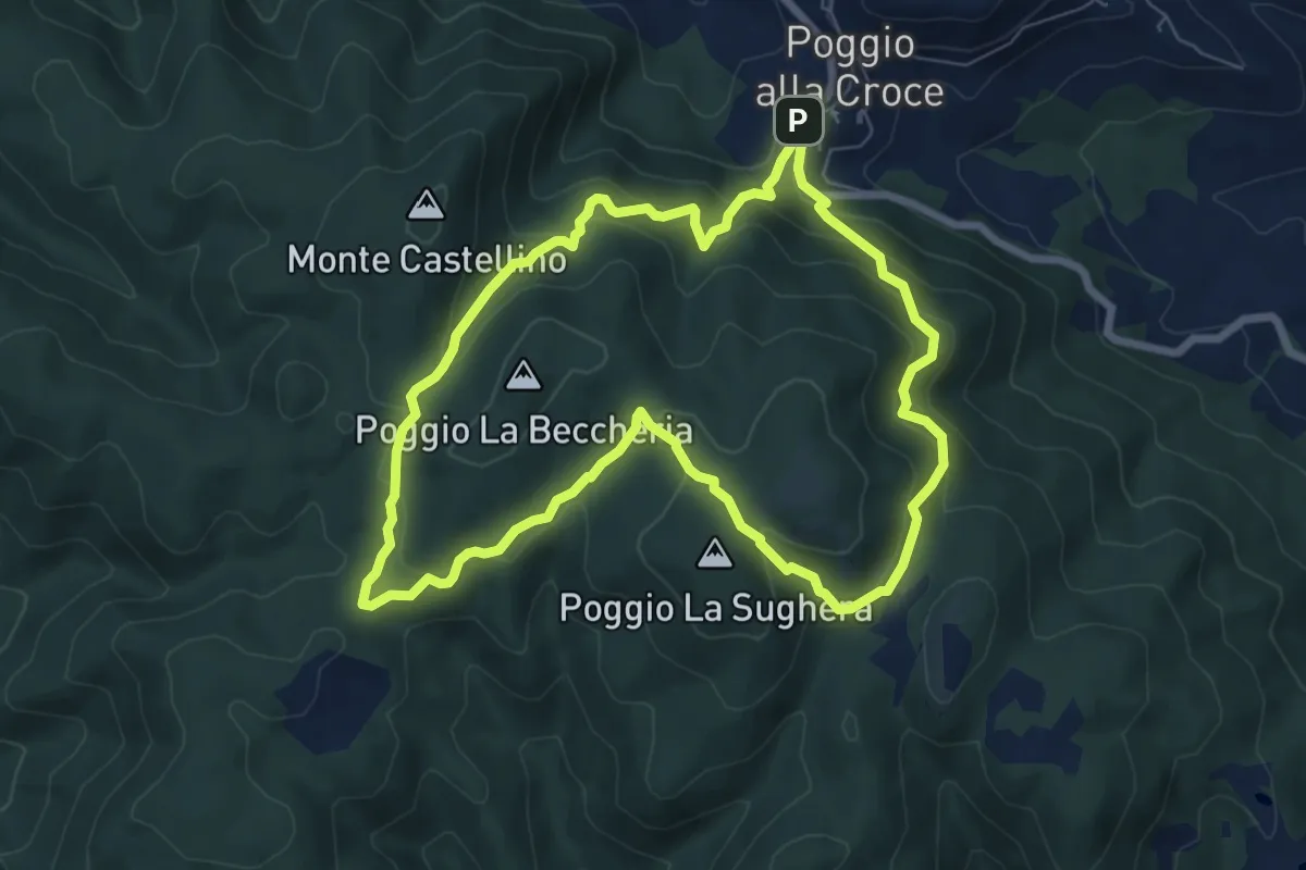
Poggio alla Croce – Celle
5.6 km · ↑ 296 m · 1 h 57 min · 15 km away
Demanding · Summit
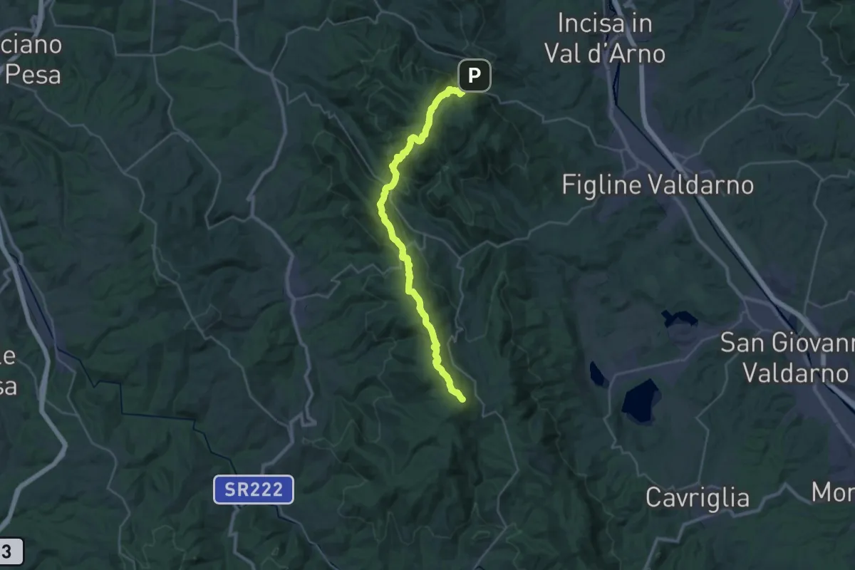
SM1 Sentiero della Memoria Monti Scalari e Pian d'Albero
7.5 km · ↑ 394 m · 2 h 43 min · 15 km away
Demanding · Summit
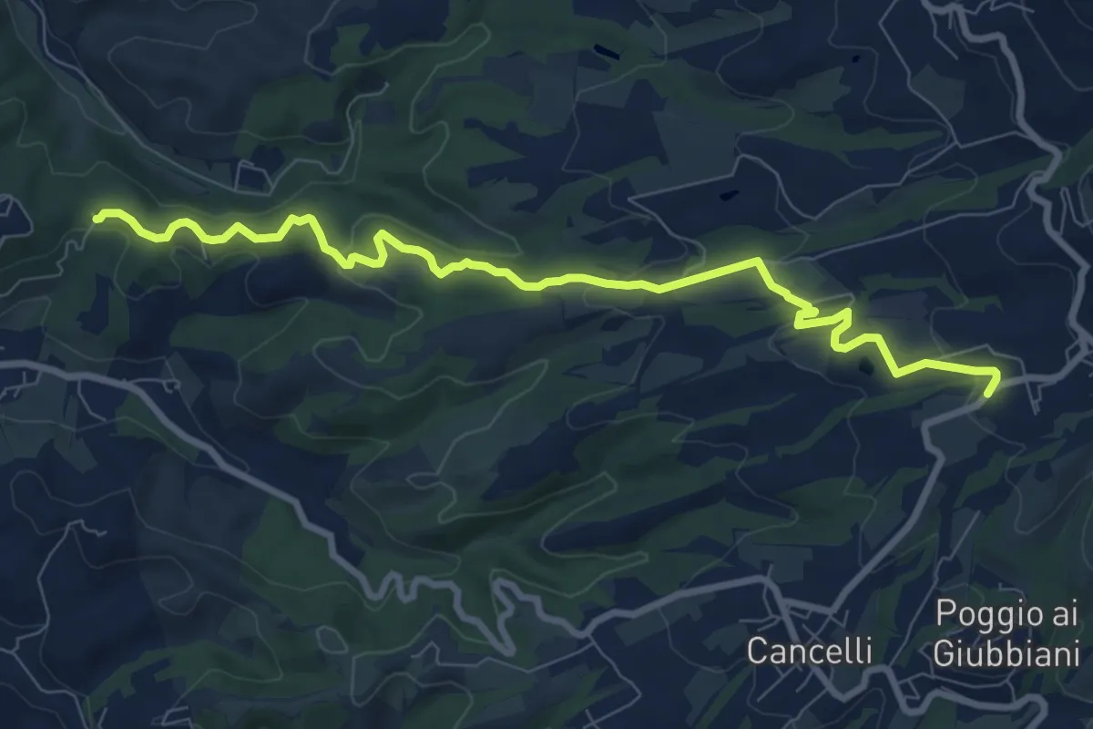
Poggio alla Croce – Badiaccia a Montemuro
30.7 km · ↑ 1259 m · 9 h 58 min · 15 km away
Medium · Trail
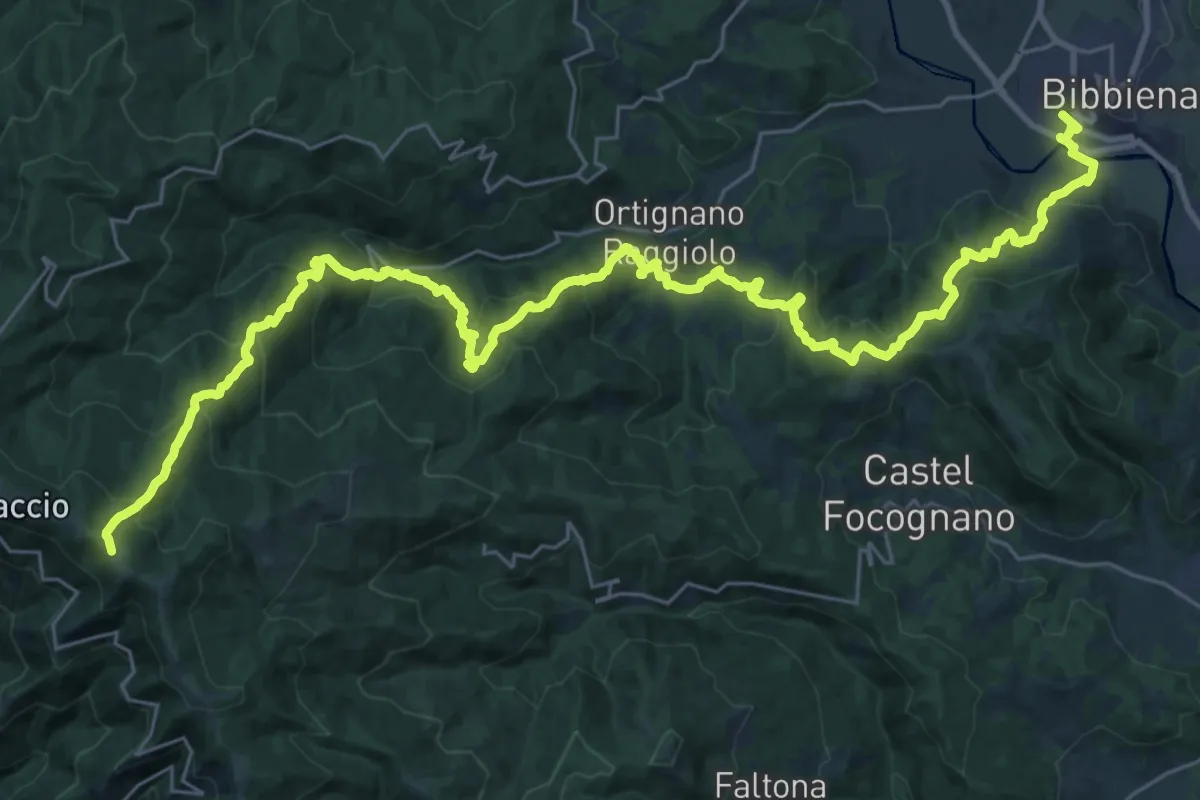
Itinerario R21 – Sant'Agata
9.6 km · ↑ 272 m · 2 h 52 min · 15 km away
Demanding · Trail
Bibbiena loc. Pollino – Innesto Sentiero 900 presso Pozza Nera
21.0 km · ↑ 617 m · 7 h 10 min · 15 km away
Medium · Trail
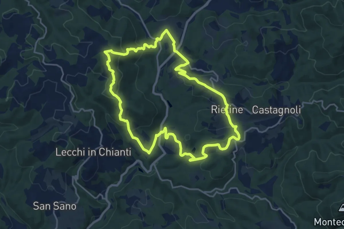
Trekking tra i castelli 9
13.0 km · ↑ 511 m · 4 h 21 min · 15 km away