Trails near San Gregorio di Catania
18 hikes starting within 15 km, nearest first.
Nearest first
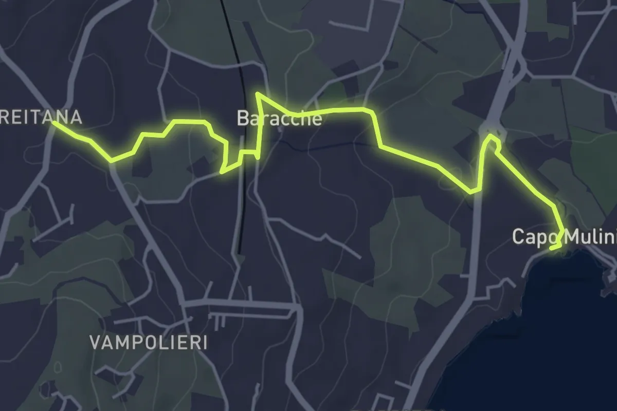
Easy · Trail
Via Antica dei Mulini
6.1 km · ↑ 129 m · 1 h 44 min · 5 km away
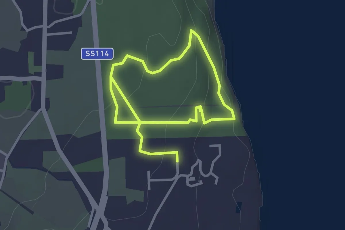
Easy · Trail
Sentiero della Gazzena
2.5 km · ↑ 87 m · 49 min · 6 km away
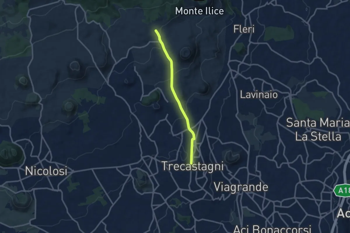
Medium · Trail
Trecastagni - Rete Sentieristica Parco Etna
9.1 km · ↑ 254 m · 2 h 43 min · 6 km away
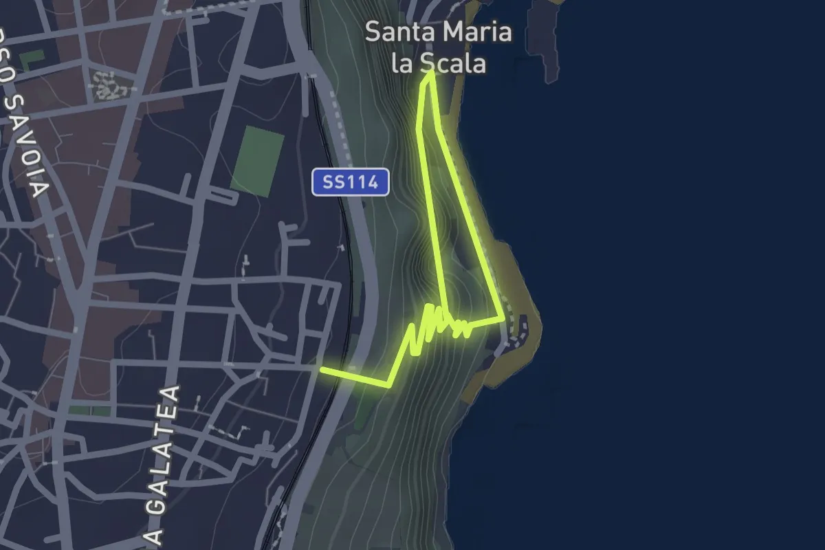
Easy · Trail
Sentiero delle Chiazzette
3.0 km · ↑ 223 m · 1 h 12 min · 7 km away
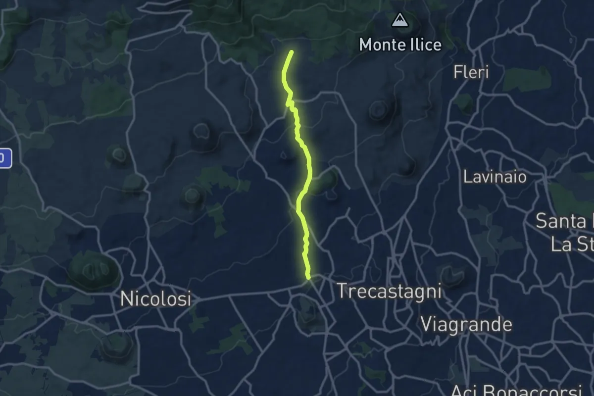
Medium · Trail
Pedara - Tarderia
10.1 km · ↑ 271 m · 2 h 58 min · 7 km away
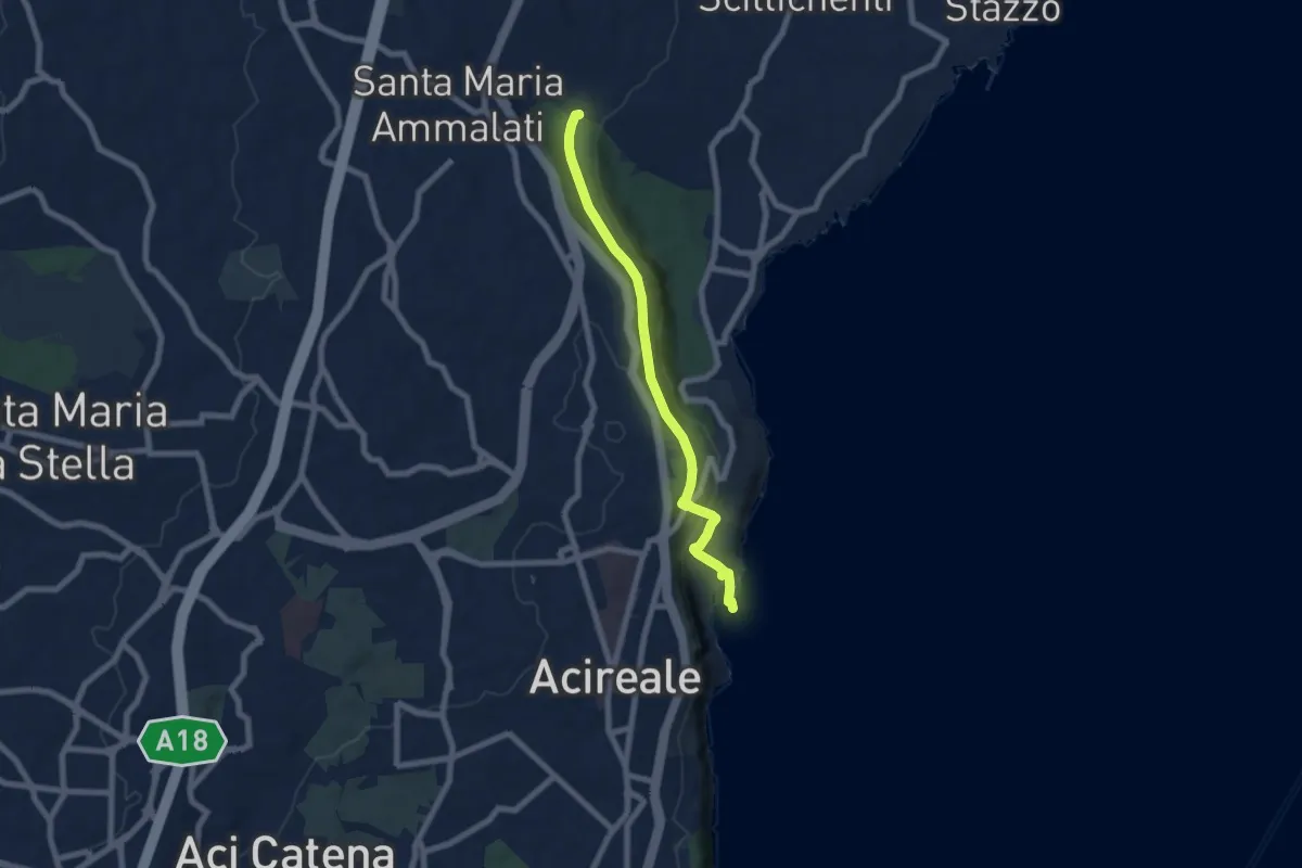
Expert · Trail
Sentiero della Vecchia Ferrovia
7.6 km · ↑ 238 m · 2 h 19 min · 8 km away
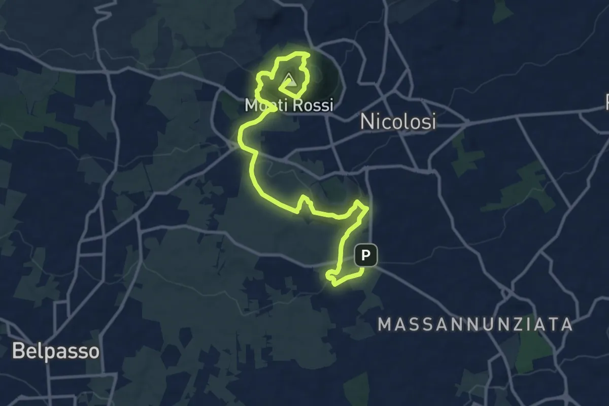
Medium · Summit
Lava 1669 Dai Monti Rossi a Mompilieri
15.2 km · ↑ 572 m · 4 h 49 min · 9 km away
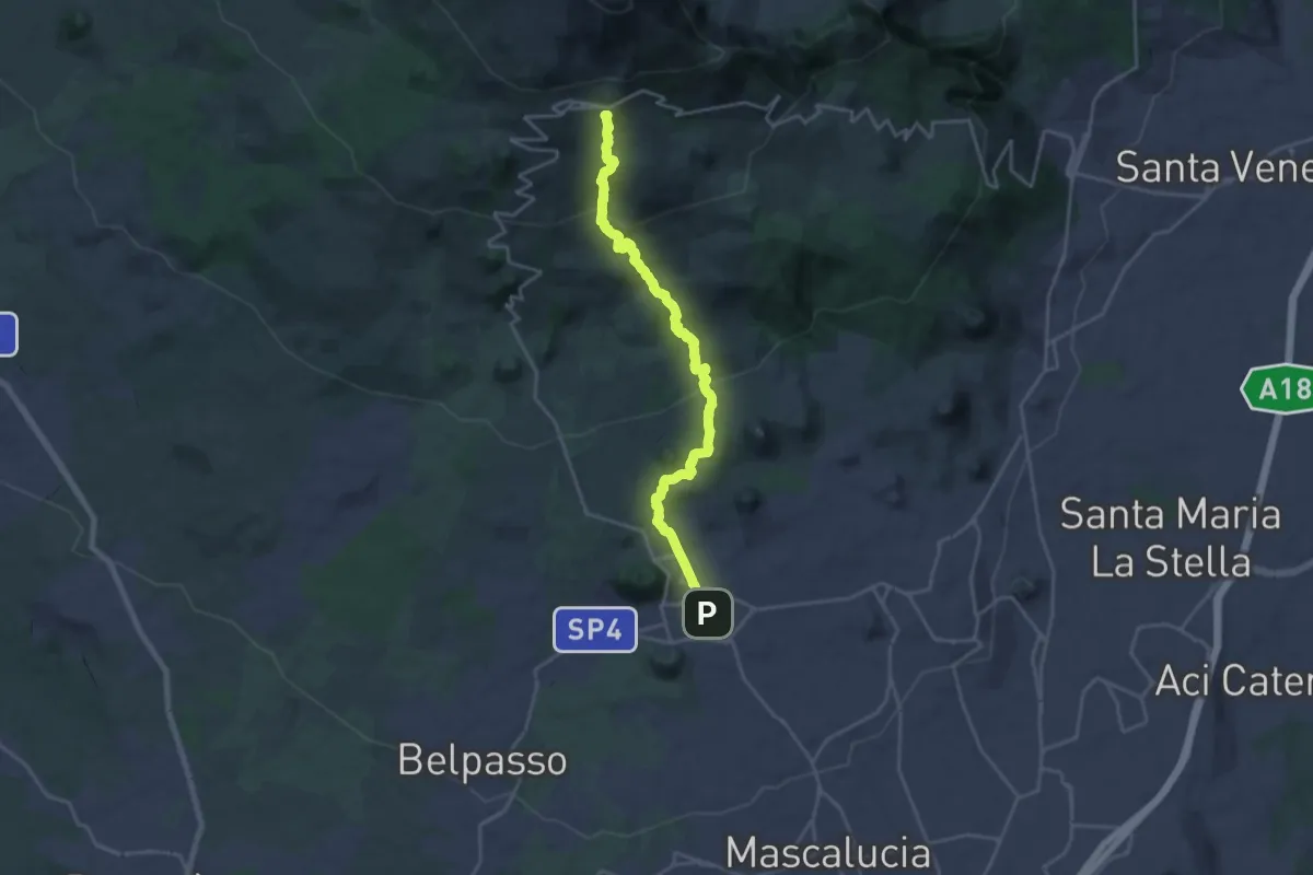
Demanding · Summit
Sentiero Silvestri
25.3 km · ↑ 1224 m · 8 h 37 min · 9 km away
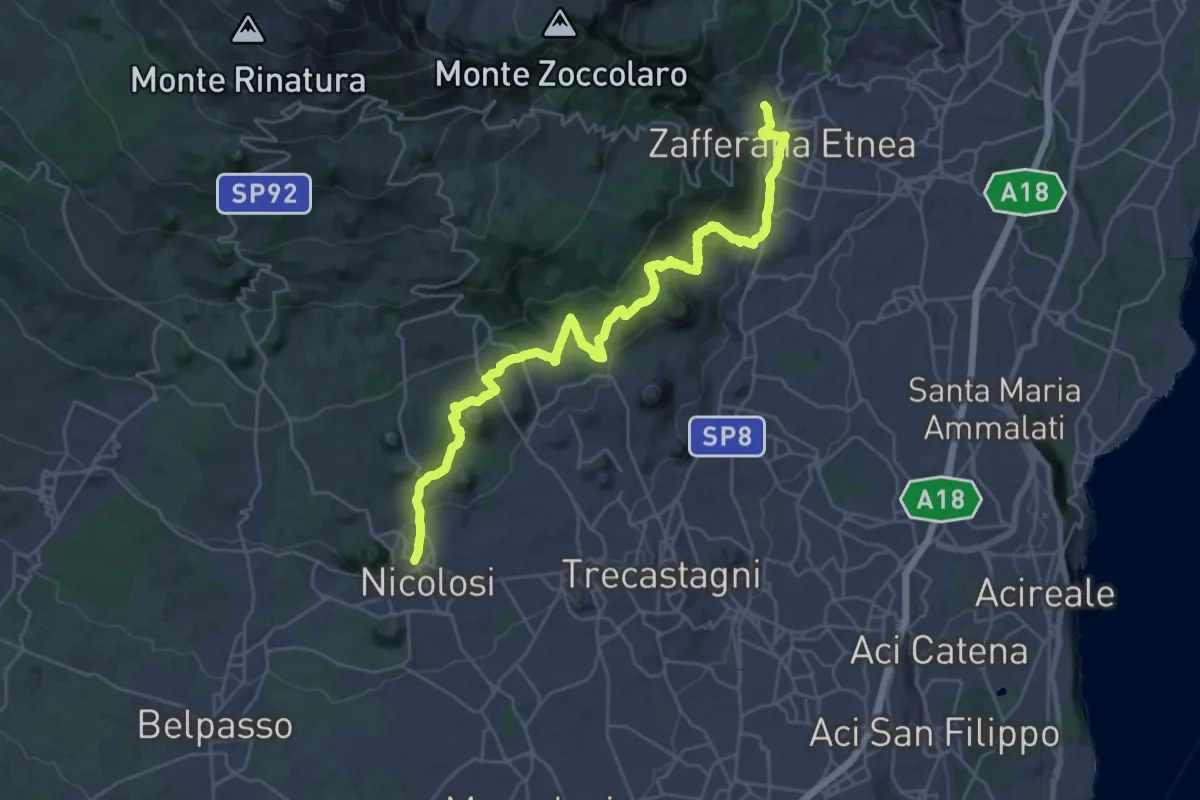
Demanding · Trail
731 - Sentiero delle Ginestre - parte Sud
18.1 km · ↑ 616 m · 5 h 55 min · 10 km away
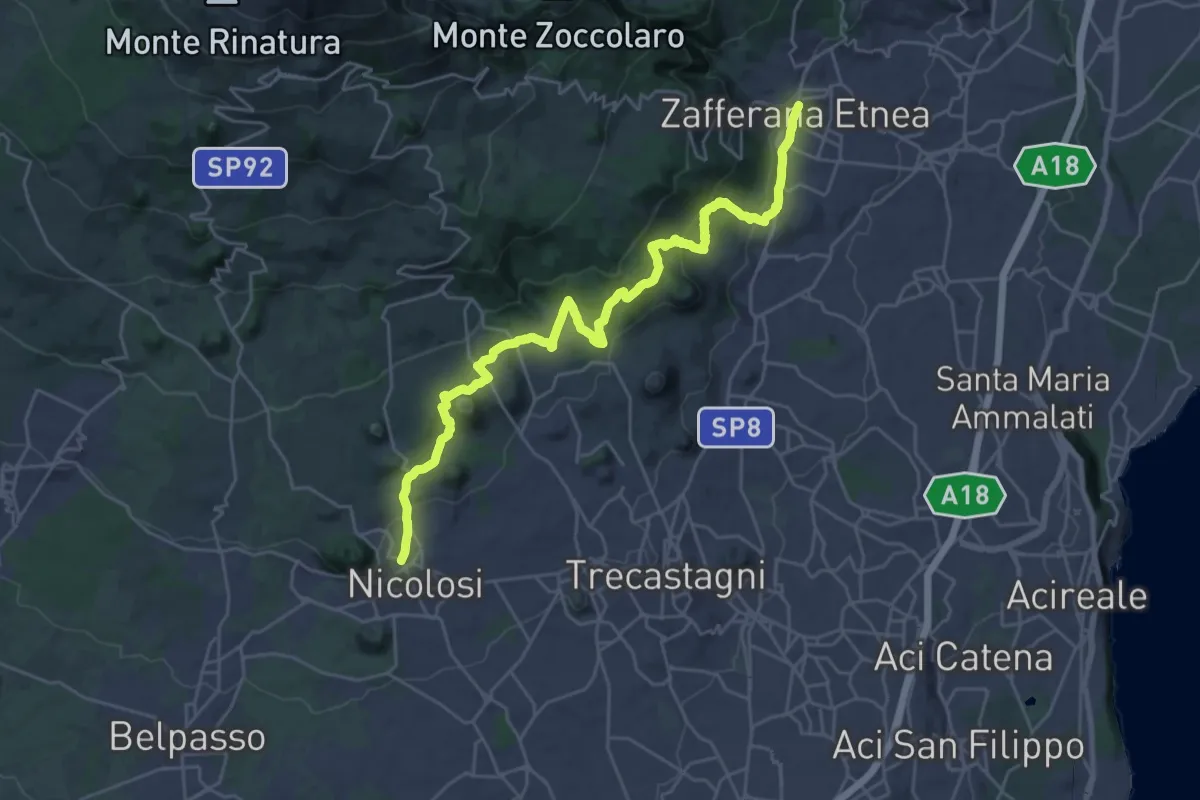
Medium · Trail
Sentiero delle Ginestre tappa 1
17.0 km · ↑ 540 m · 5 h 30 min · 10 km away
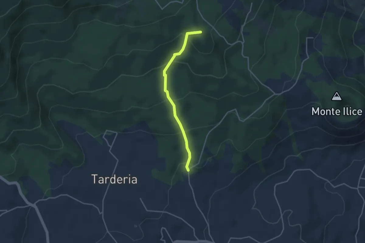
Medium · Summit
Strada Sciddichenti
3.3 km · ↑ 228 m · 1 h 17 min · 11 km away
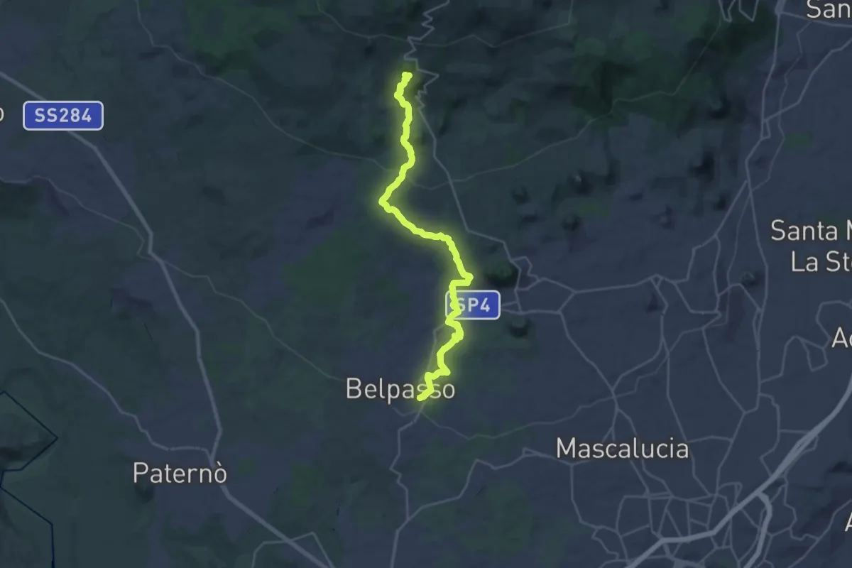
Demanding · Cabin
Belpasso – Rifugio di Monte Manfrè
14.4 km · ↑ 836 m · 5 h 1 min · 11 km away
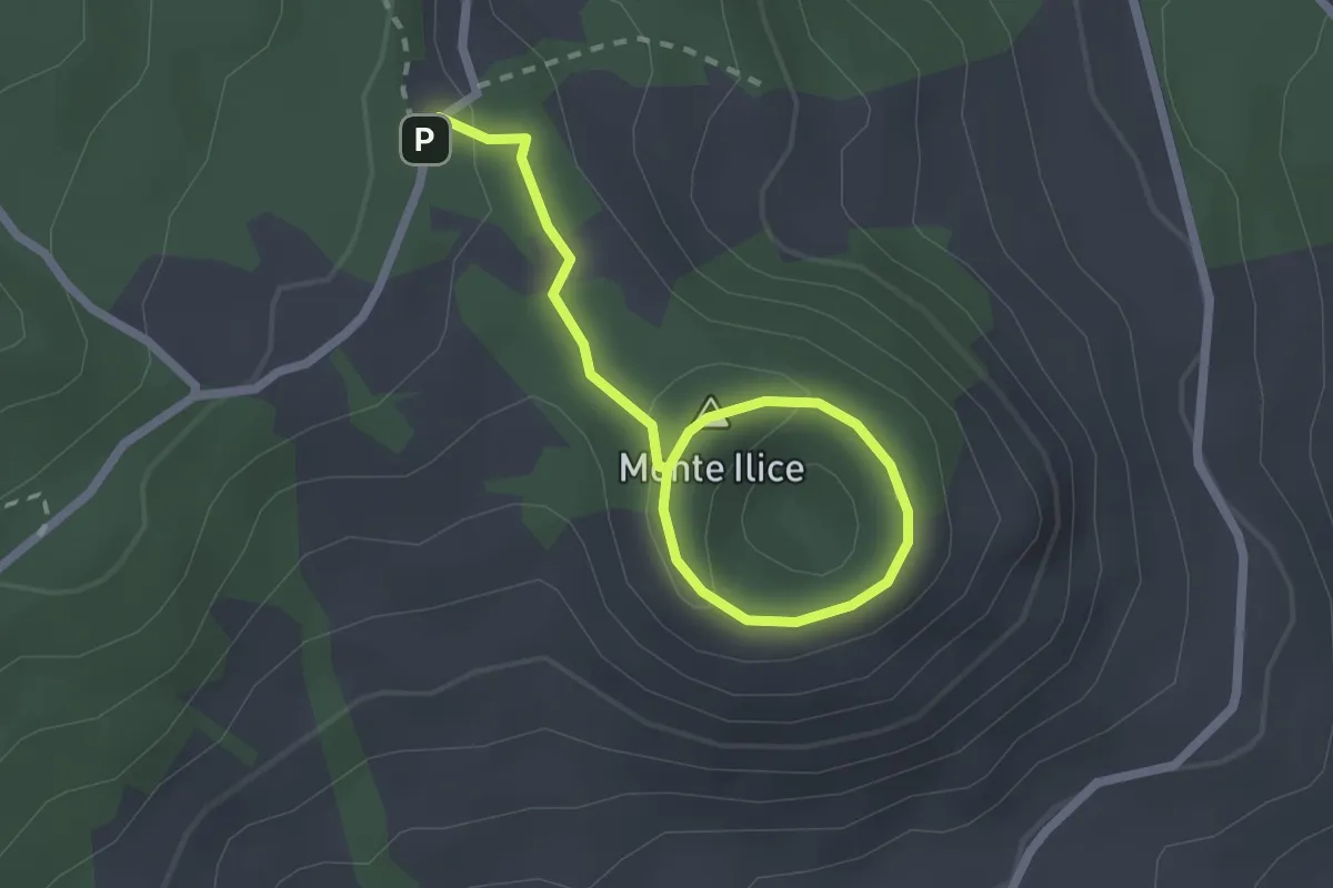
Medium · Summit
Sentiero Monte Ilice
1.5 km · ↑ 25 m · 26 min · 12 km away
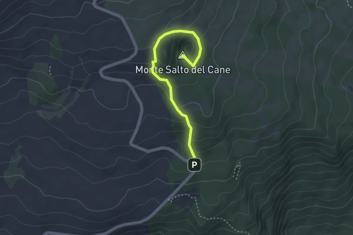
Easy · Summit
Monte Salto del Cane
3.8 km · ↑ 206 m · 1 h 21 min · 14 km away
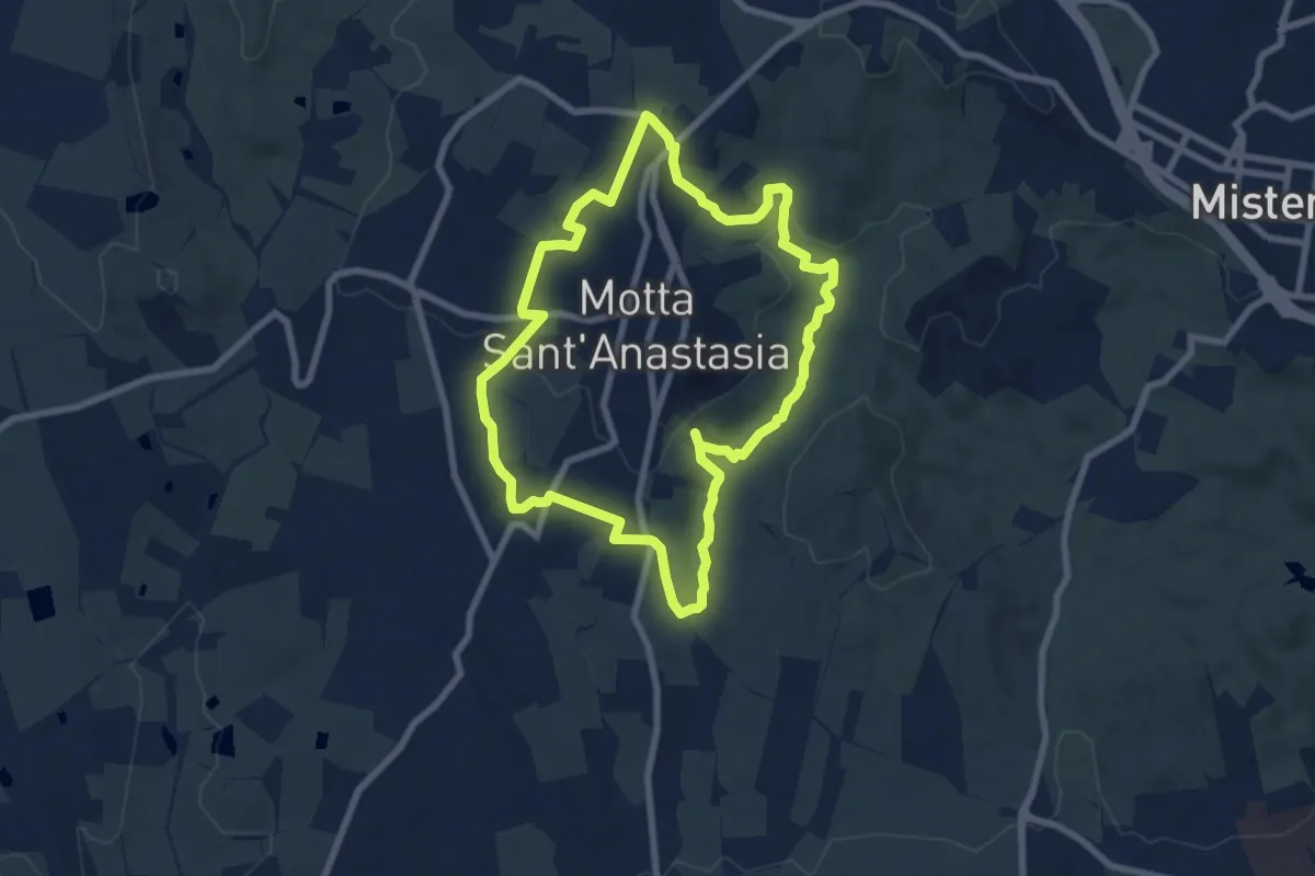
Medium · Trail
Sentiero dell'Anello
8.6 km · ↑ 218 m · 2 h 37 min · 14 km away
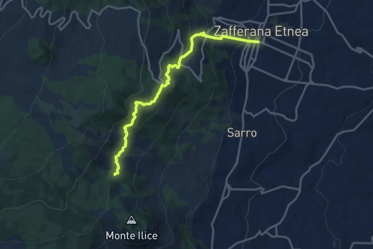
Demanding · Trail
SdG 1 Variante Nord
9.5 km · ↑ 538 m · 3 h 25 min · 14 km away
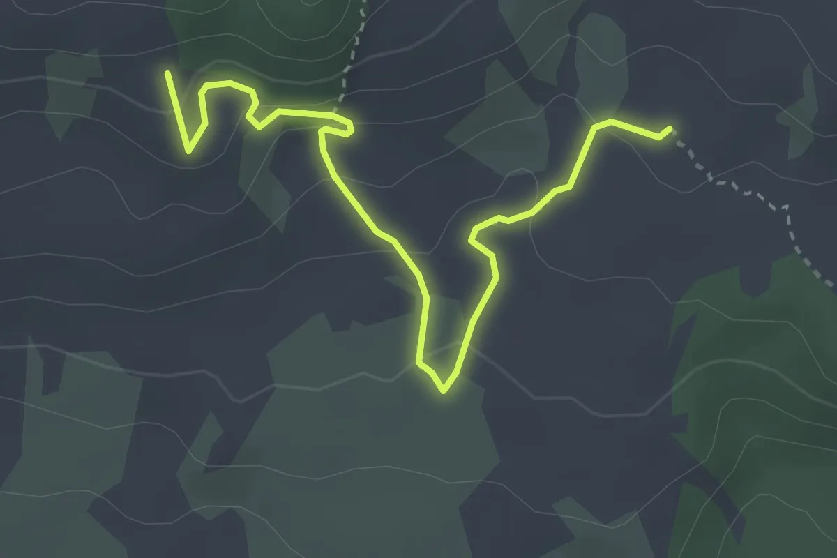
Easy · Trail
Monte Grosso-Monte Albano
4.2 km · ↑ 159 m · 1 h 20 min · 14 km away
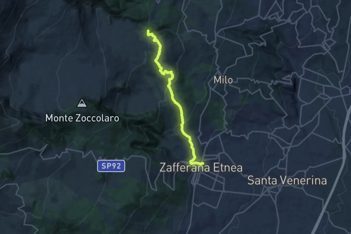
Medium · Summit
Sentiero Ginestre tappa 2
14.1 km · ↑ 713 m · 4 h 53 min · 14 km away