Trails near San Pietro in Cariano
72 hikes starting within 15 km, nearest first.
Nearest first, page 2 of 2
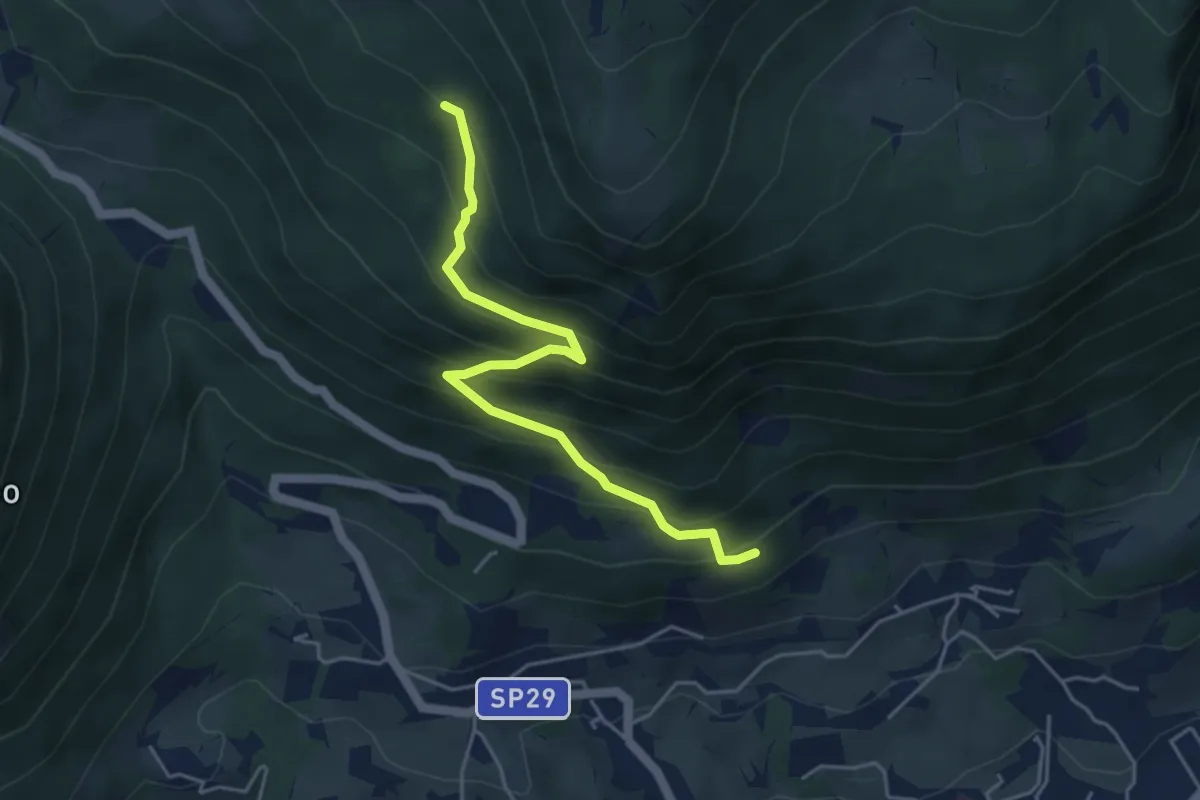
Medium · Trail
Caprino - da sent. 662 – loc. Le Colture - inn. sent. 53
4.6 km · ↑ 432 m · 2 h 2 min · 13 km away
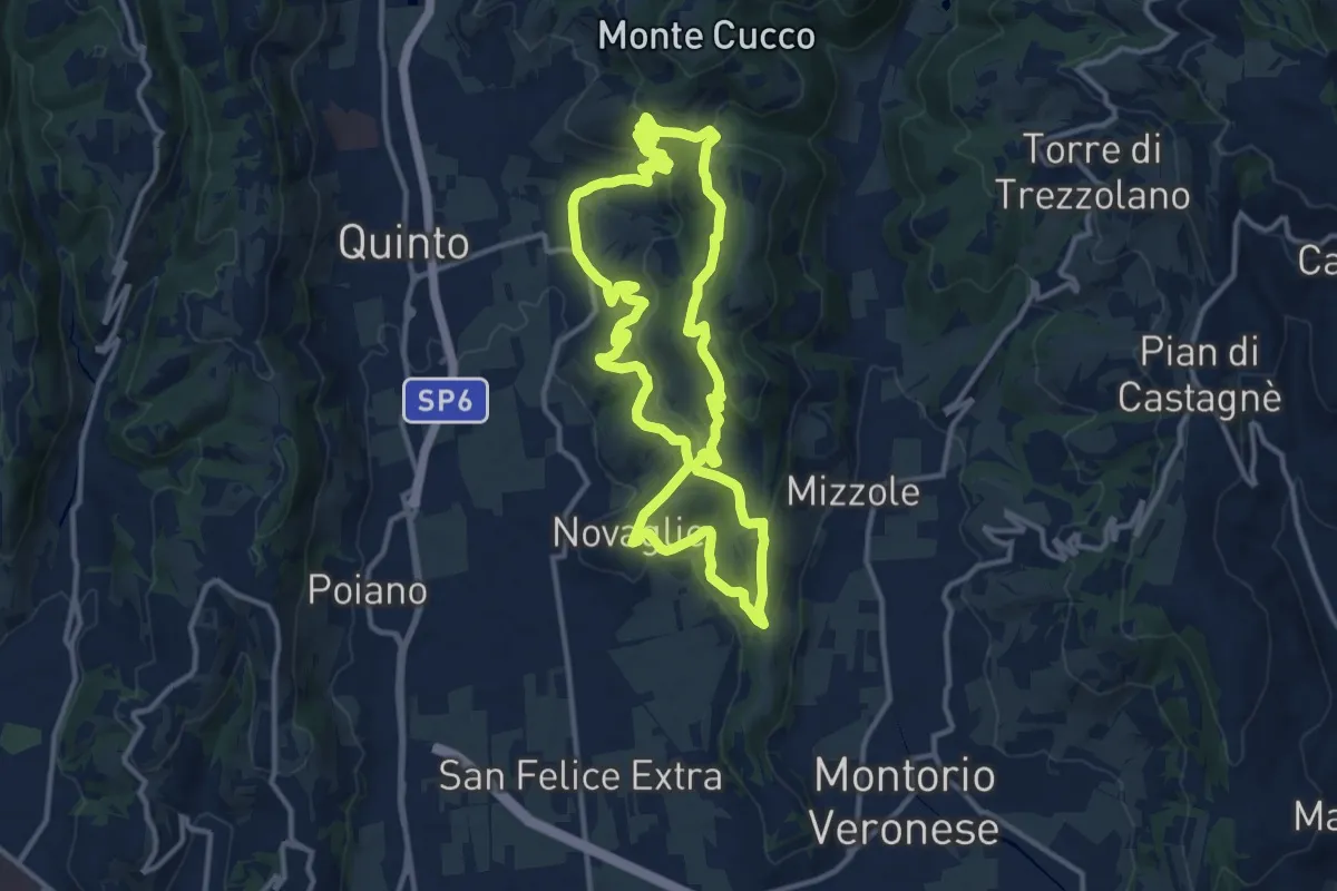
Medium · Trail
Grande Anello della Storia
13.0 km · ↑ 460 m · 4 h 14 min · 13 km away
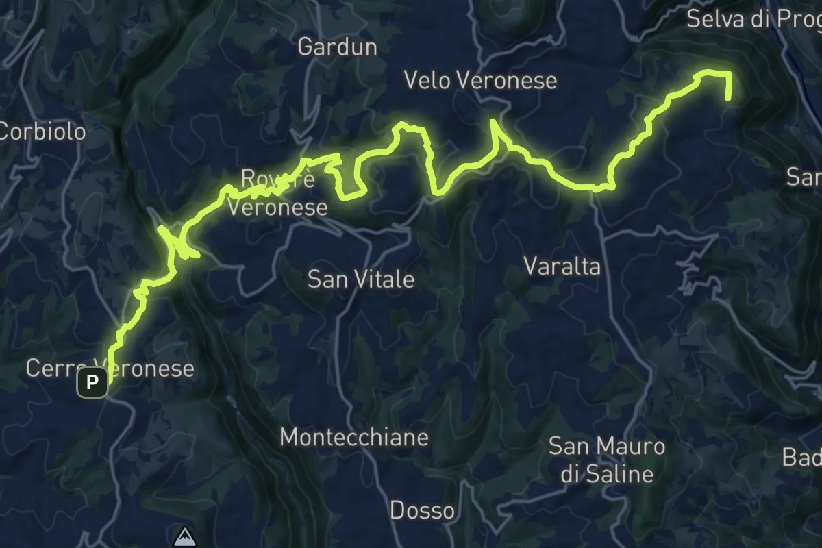
Medium · Trail
Val d'Illasi - Valpantena
15.6 km · ↑ 700 m · 5 h 19 min · 13 km away
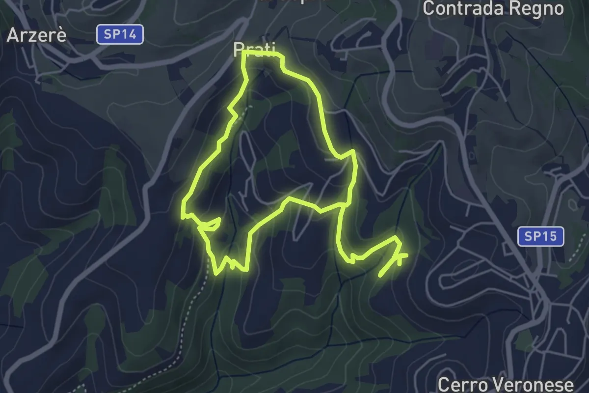
Medium · Trail
Sentiero delle Sorgenti
8.4 km · ↑ 417 m · 2 h 53 min · 13 km away
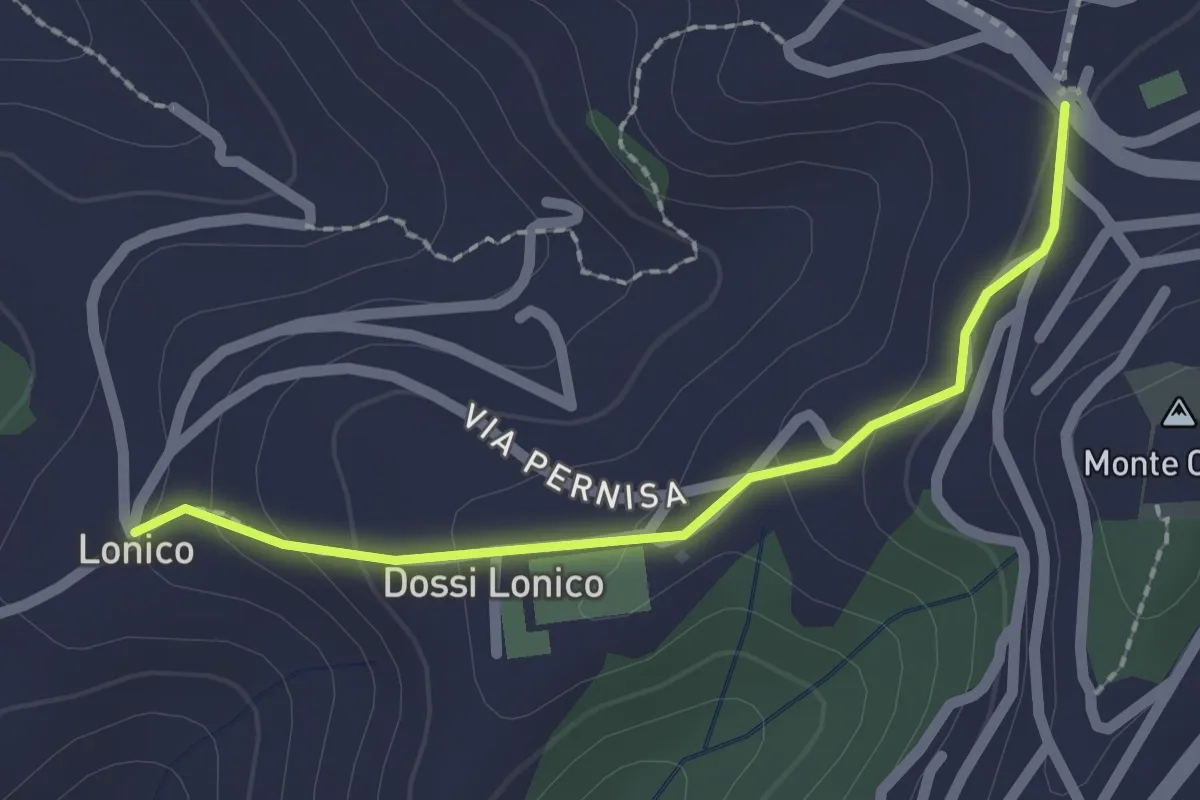
Easy · Trail
Sentiero n. 5
2.0 km · ↑ 81 m · 39 min · 13 km away
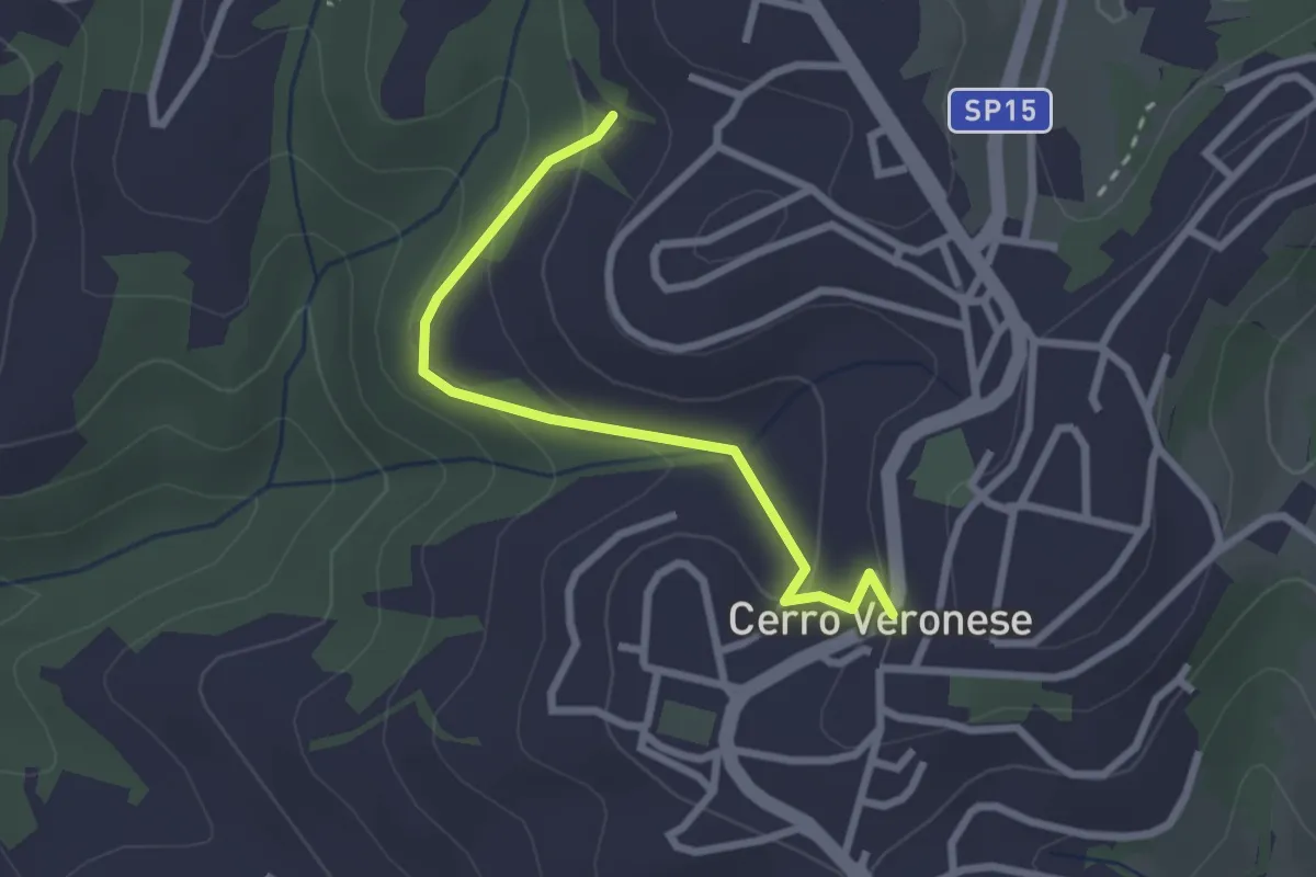
Easy · Trail
Sentiero n. 7
2.5 km · ↑ 121 m · 51 min · 13 km away
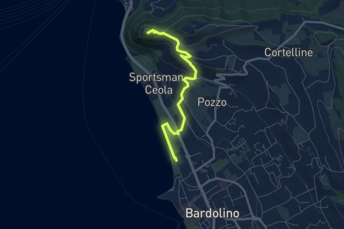
Medium · Summit
Sulle tracce della biodiversità
6.4 km · ↑ 218 m · 1 h 59 min · 14 km away
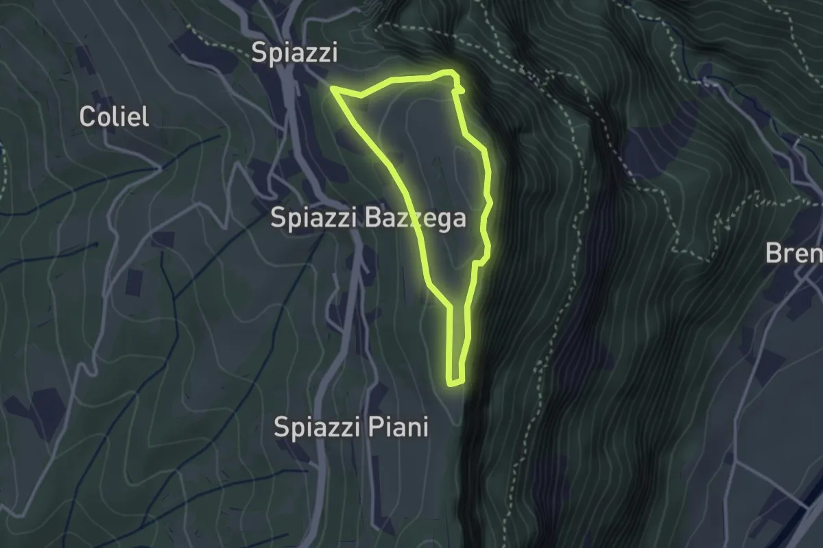
Easy · Summit
Spiazzi Trincee del Monte Cimo
2.4 km · ↑ 144 m · 54 min · 14 km away
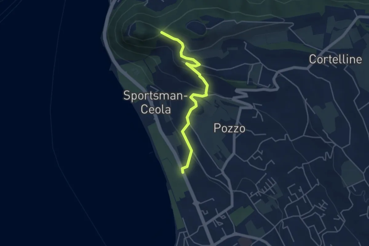
Medium · Trail
Percorso Eremo dei Camaldolesi
4.2 km · ↑ 173 m · 1 h 22 min · 14 km away
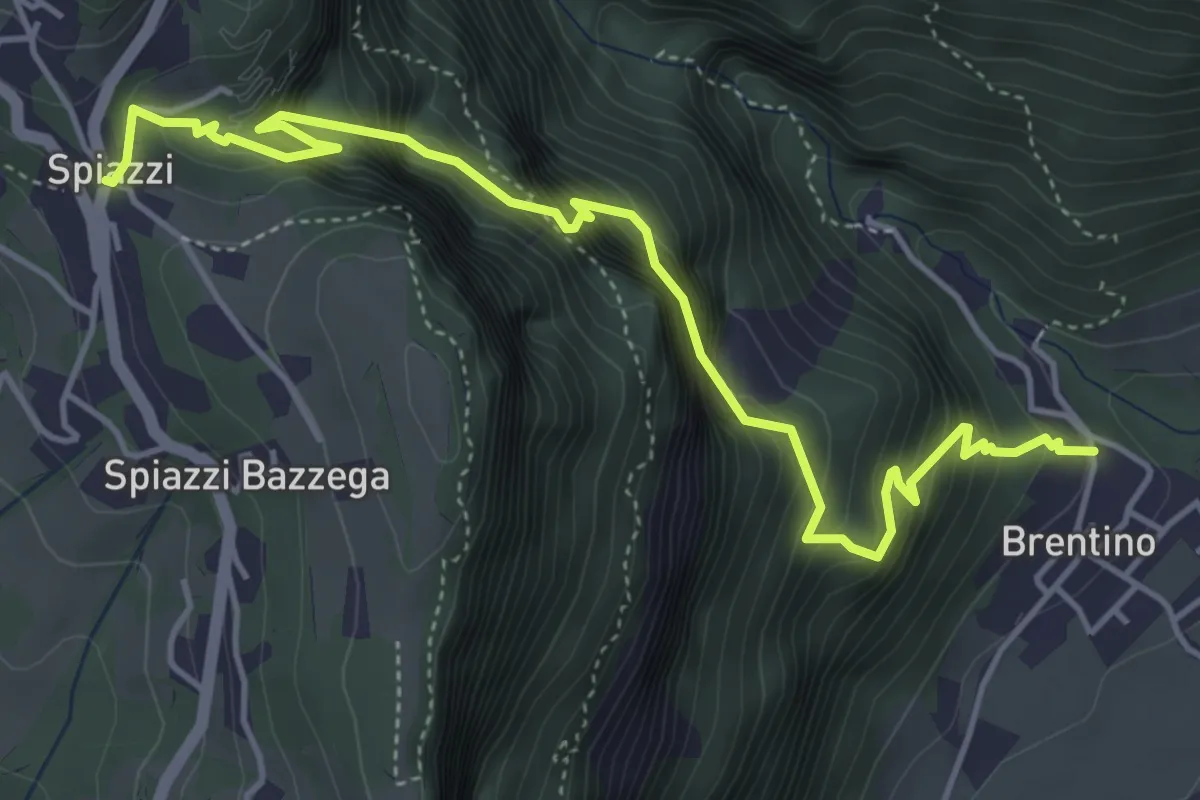
Medium · Trail
Sentiero della Speranza
5.6 km · ↑ 773 m · 3 h · 14 km away
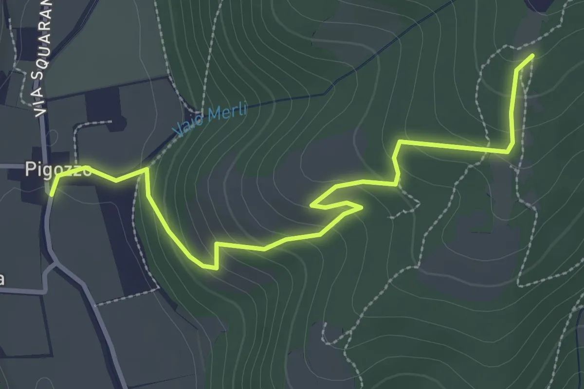
Easy · Trail
Pigozzo – località Gazzole
3.4 km · ↑ 186 m · 1 h 12 min · 14 km away
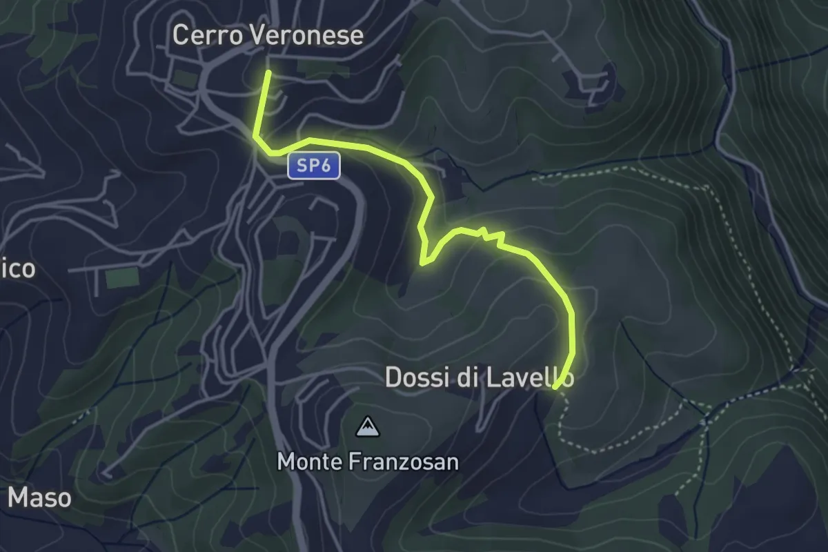
Easy · Trail
Sentiero n. 4
3.8 km · ↑ 149 m · 1 h 13 min · 14 km away
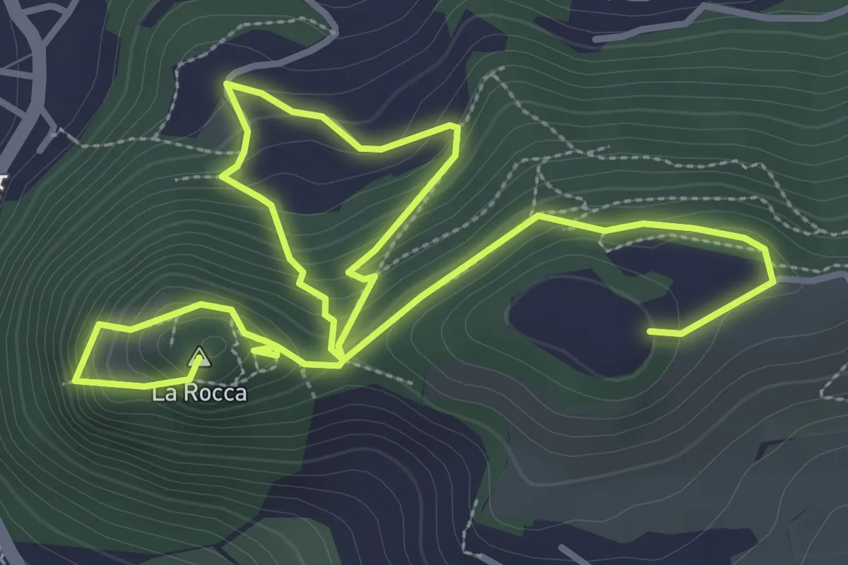
Medium · Summit
Garda - Rocca Vecchia - Eremo dei Camaldolesi
5.8 km · ↑ 404 m · 2 h 15 min · 14 km away
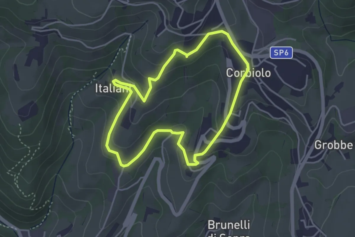
Easy · Trail
Percorso n. 10
3.4 km · ↑ 143 m · 1 h 10 min · 14 km away
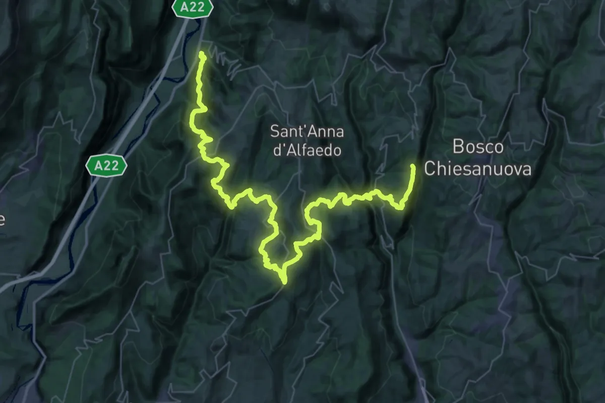
Demanding · Trail
loc. Genderli – Peri
26.6 km · ↑ 1319 m · 9 h 54 min · 14 km away
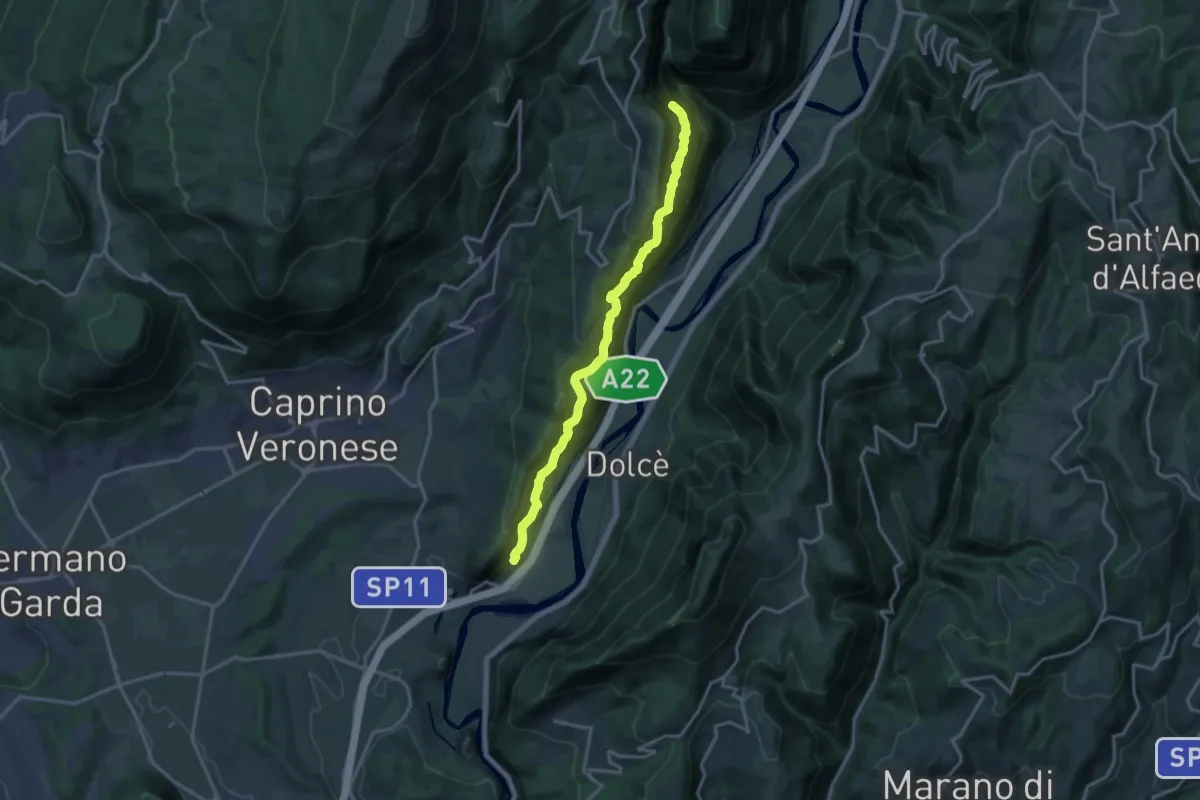
Demanding · Trail
Canale - Madonna della Corona
15.9 km · ↑ 1707 m · 7 h 27 min · 14 km away
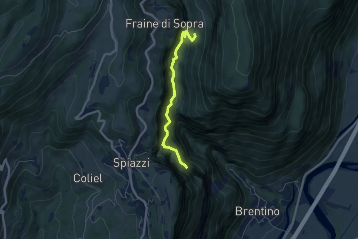
Demanding · Trail
Sentiero del Vajo dell'Orsa
4.6 km · ↑ 1054 m · 3 h 23 min · 14 km away
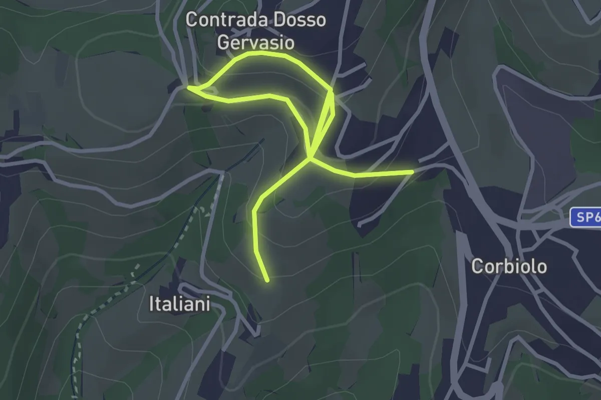
Easy · Trail
Percorso n. 10 variante
4.0 km · ↑ 221 m · 1 h 25 min · 14 km away
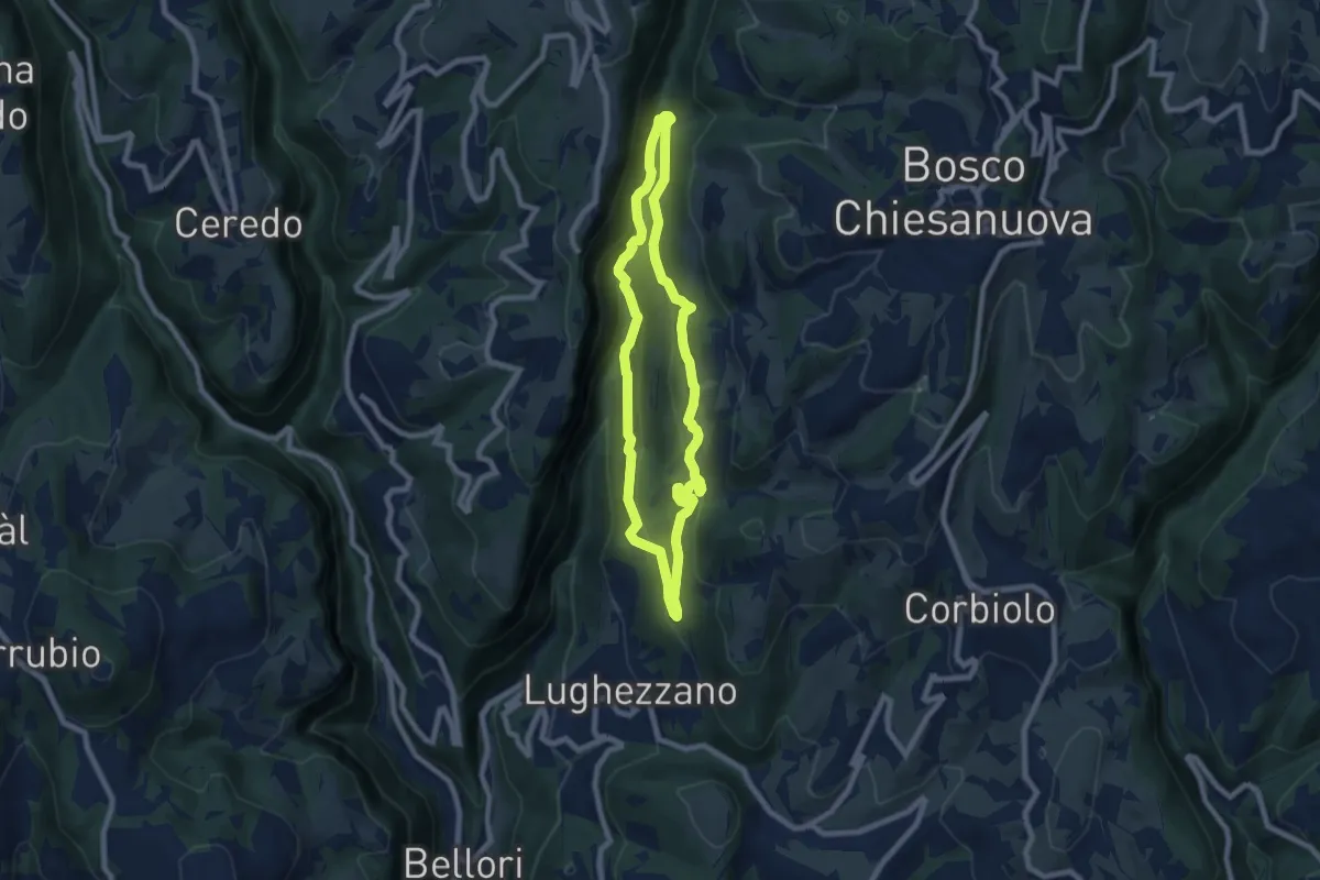
Demanding · Trail
Percorso n. 11
7.0 km · ↑ 291 m · 2 h 23 min · 14 km away
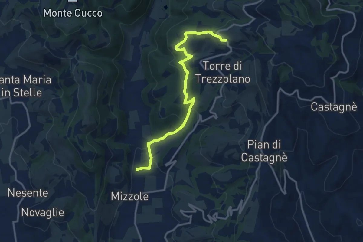
Demanding · Trail
Mizzole – Trezzolano
9.5 km · ↑ 344 m · 2 h 59 min · 14 km away
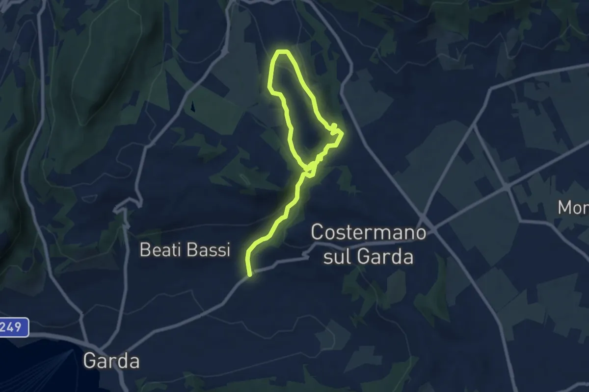
Medium · Trail
Valle Dei Molini (Itinerario D)
9.0 km · ↑ 299 m · 2 h 46 min · 14 km away
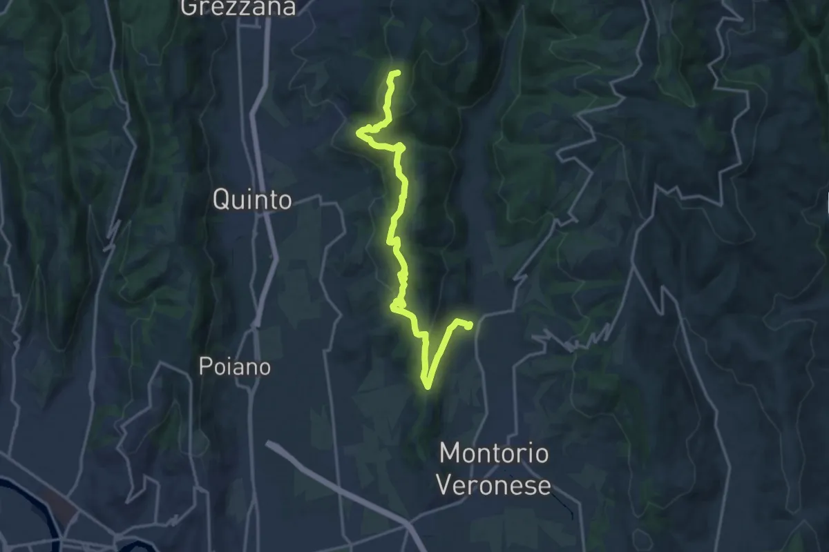
Medium · Summit
Mizzole – Croce di Romagnano
16.1 km · ↑ 537 m · 4 h 58 min · 14 km away
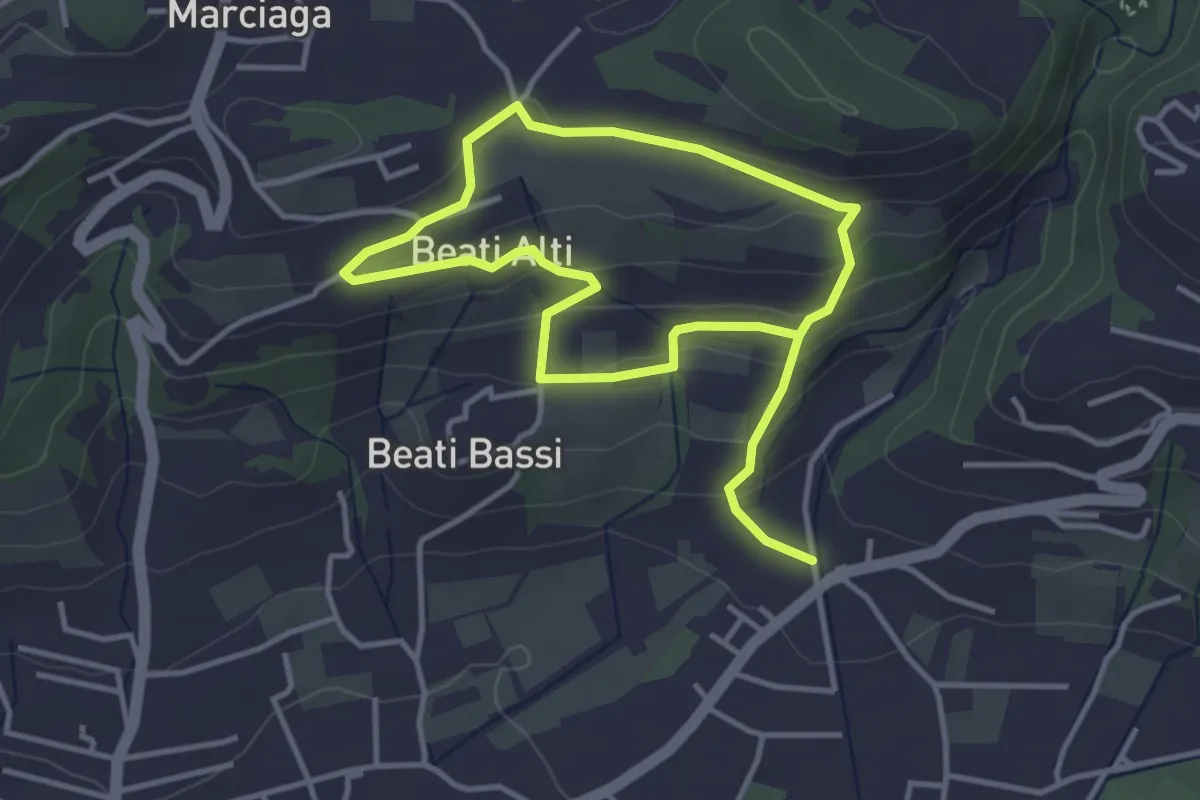
Easy · Trail
Garda - Beati - Pignoi (Itinerario C)
6.2 km · ↑ 241 m · 1 h 59 min · 14 km away
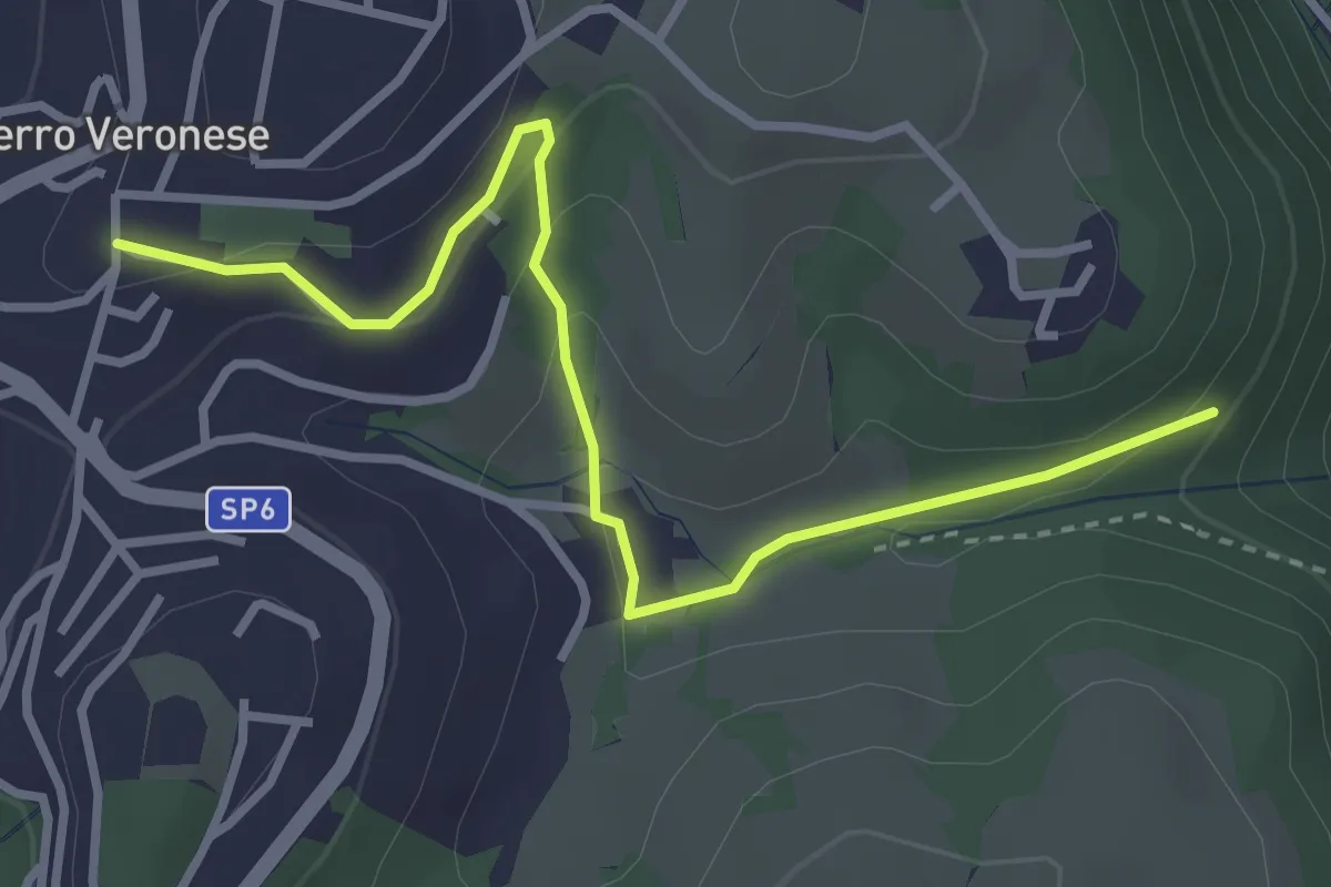
Easy · Trail
Sentiero n. 3
3.6 km · ↑ 140 m · 1 h 9 min · 14 km away