Trails near Sanremo
41 hikes starting within 15 km, nearest first.
Nearest first
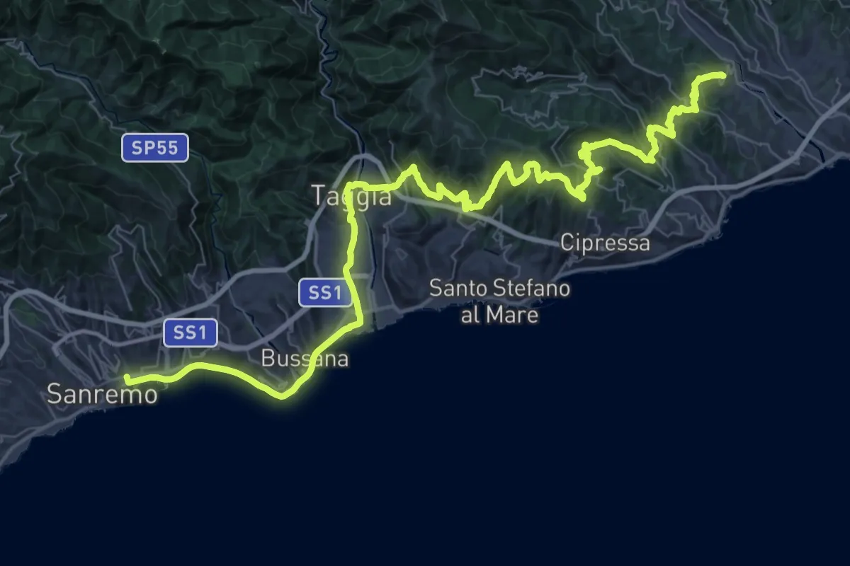
Demanding · Trail
Via della Costa - tappa 2
29.9 km · ↑ 1013 m · 9 h 37 min · 1 km away
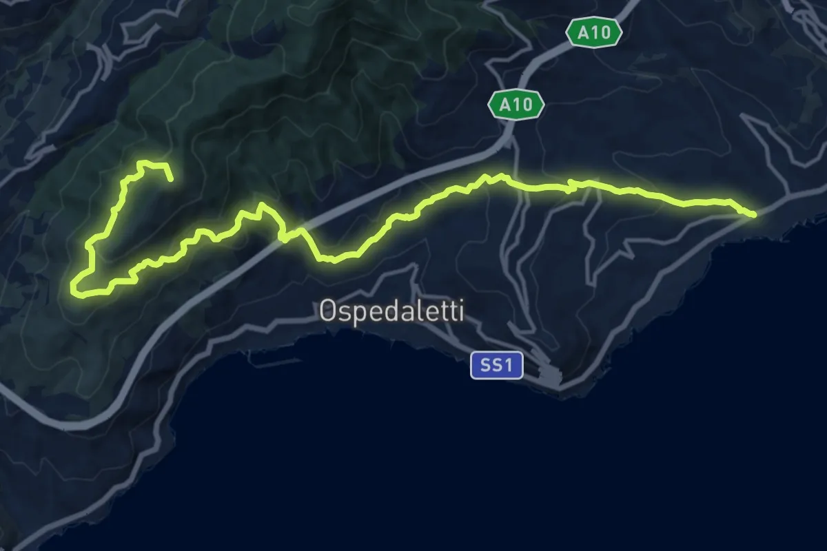
Demanding · Summit
Sentiero Liguria - Tappa 28
19.0 km · ↑ 1239 m · 7 h 11 min · 2 km away
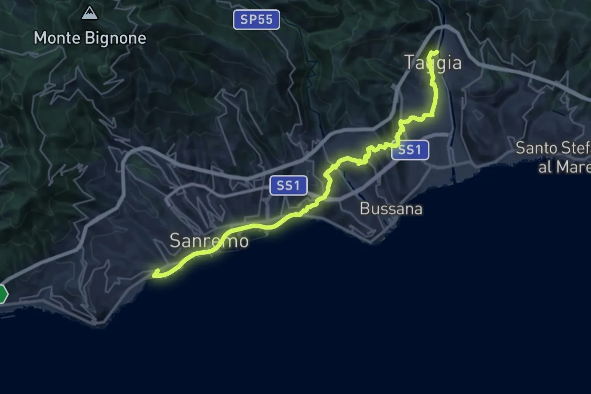
Medium · Trail
Sentiero Liguria - Tappa 27
13.5 km · ↑ 420 m · 4 h 16 min · 2 km away
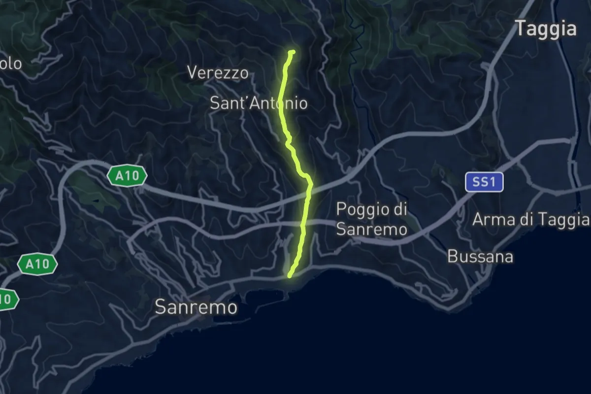
Medium · Summit
Sanremo – Costa Bandita (SL)
8.7 km · ↑ 610 m · 3 h 23 min · 2 km away
Medium · Trail
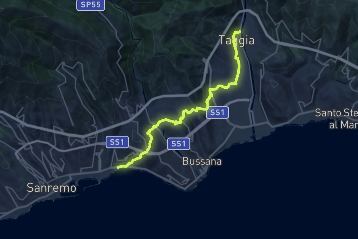
Via della Costa
17.9 km · ↑ 760 m · 5 h 52 min · 2 km away
Demanding · Summit
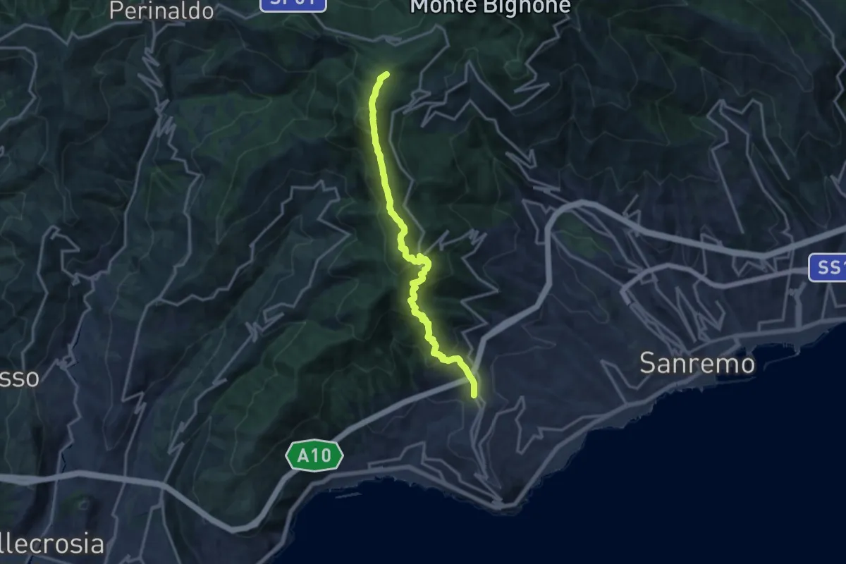
Termini di Perinaldo – Coldirodi
13.9 km · ↑ 982 m · 5 h 25 min · 4 km away
Medium · Summit
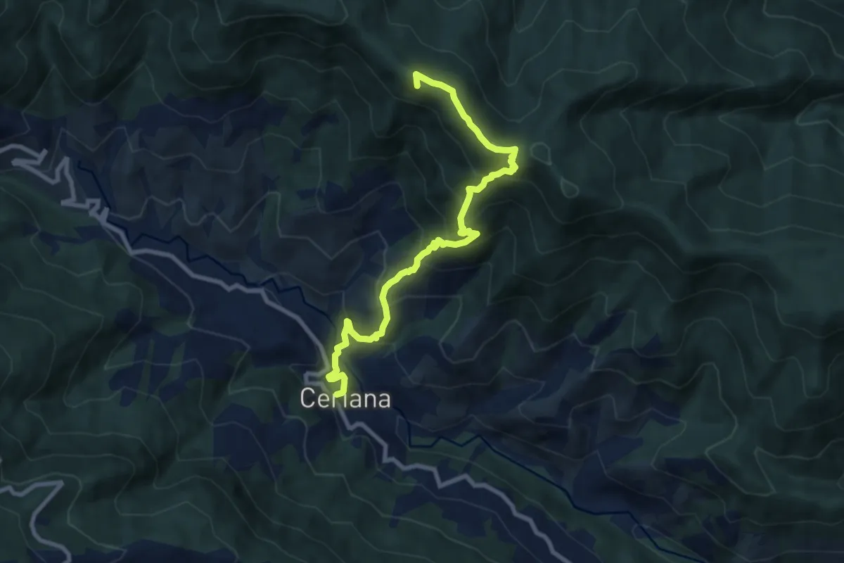
Ceriana – Rifugio della Valle del Lago
8.9 km · ↑ 732 m · 3 h 41 min · 7 km away
Medium · Summit
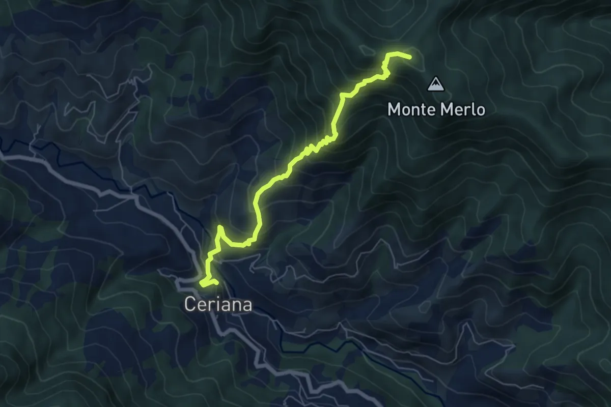
Sentiero Balcone Mediterraneo T4
6.4 km · ↑ 684 m · 3 h · 7 km away
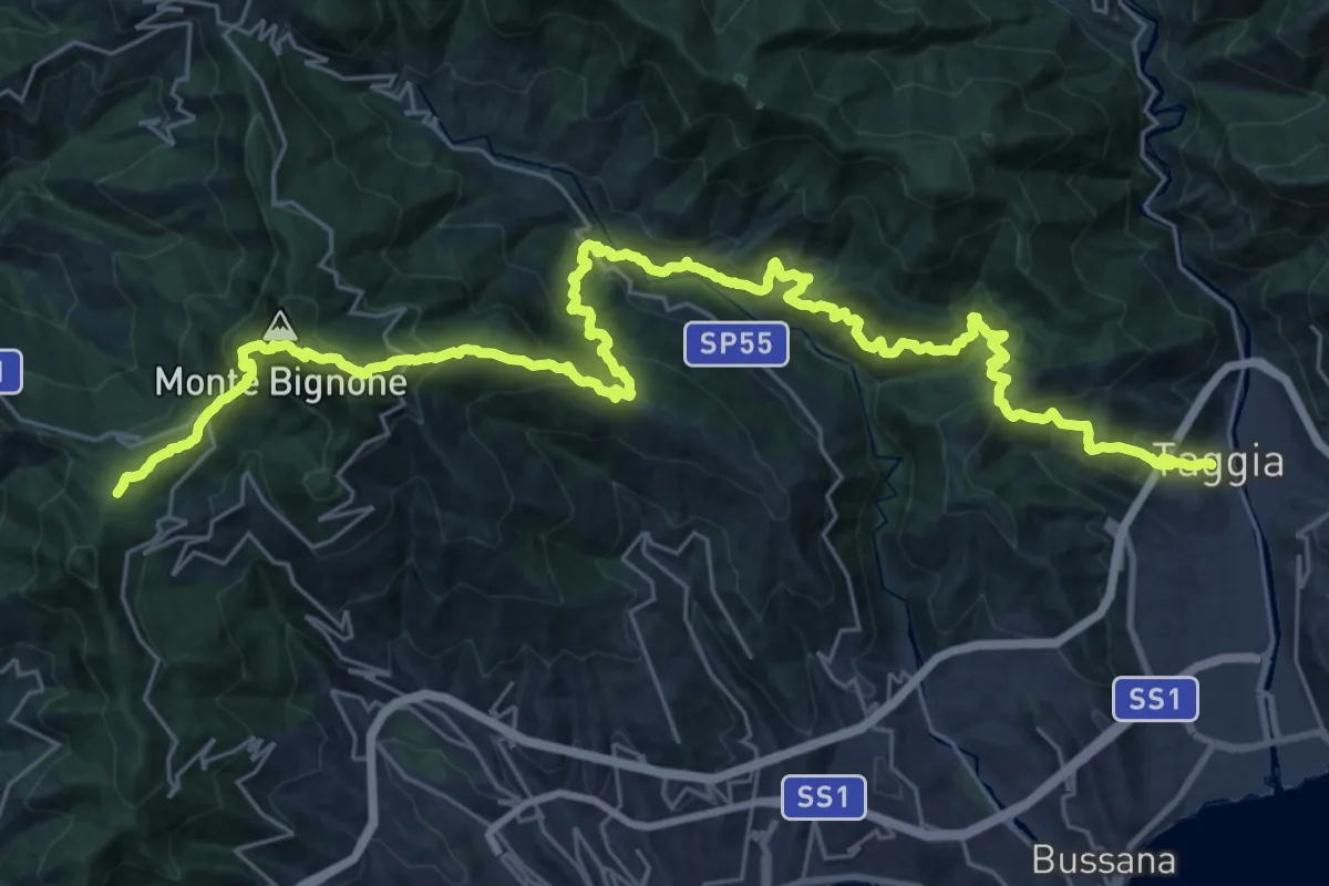
Demanding · Summit
Sentiero Liguria - Tappa 27 - variante 1
39.3 km · ↑ 2872 m · 15 h 30 min · 8 km away
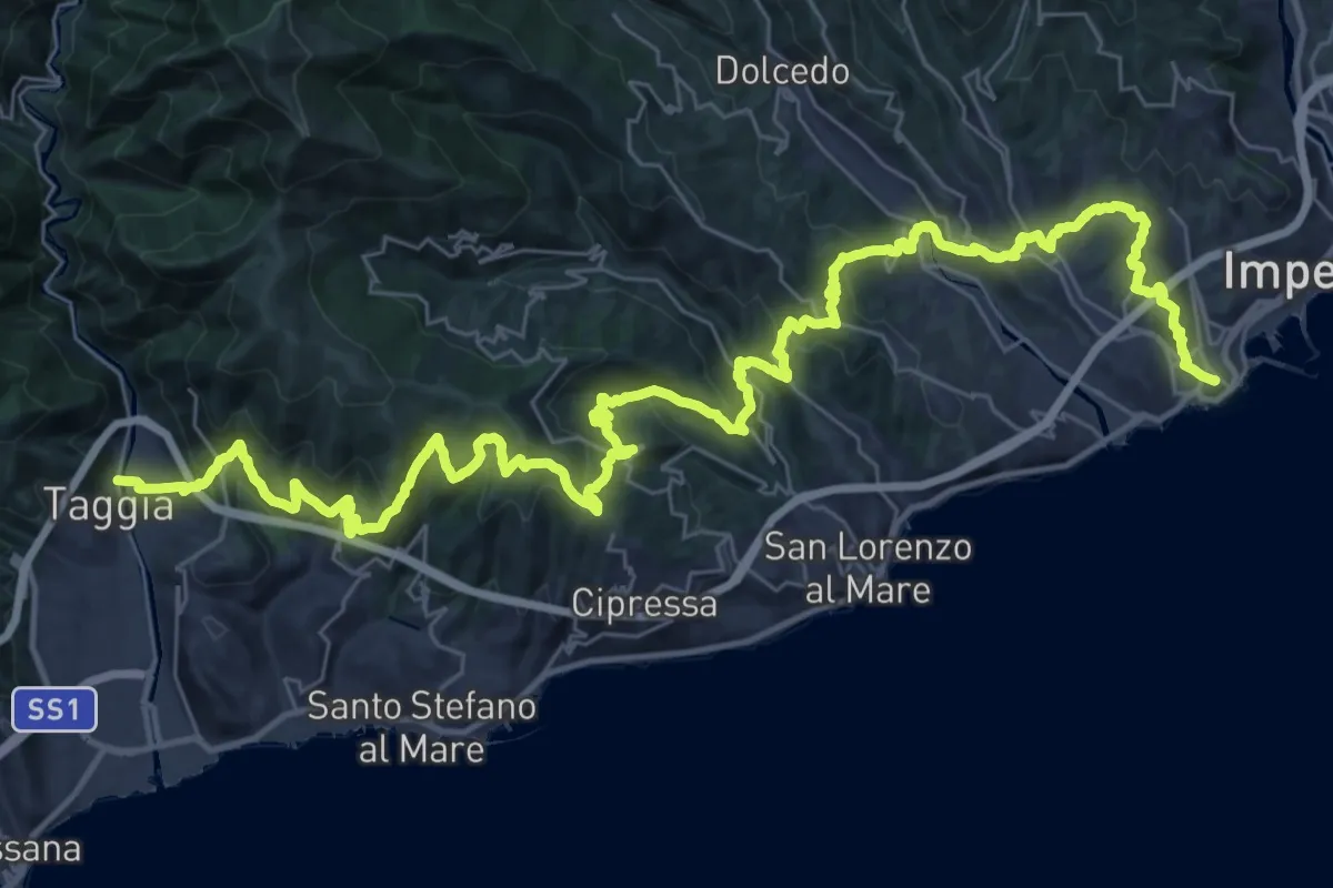
Demanding · Trail
Sentiero Liguria - Tappa 26
26.2 km · ↑ 1142 m · 9 h 1 min · 8 km away
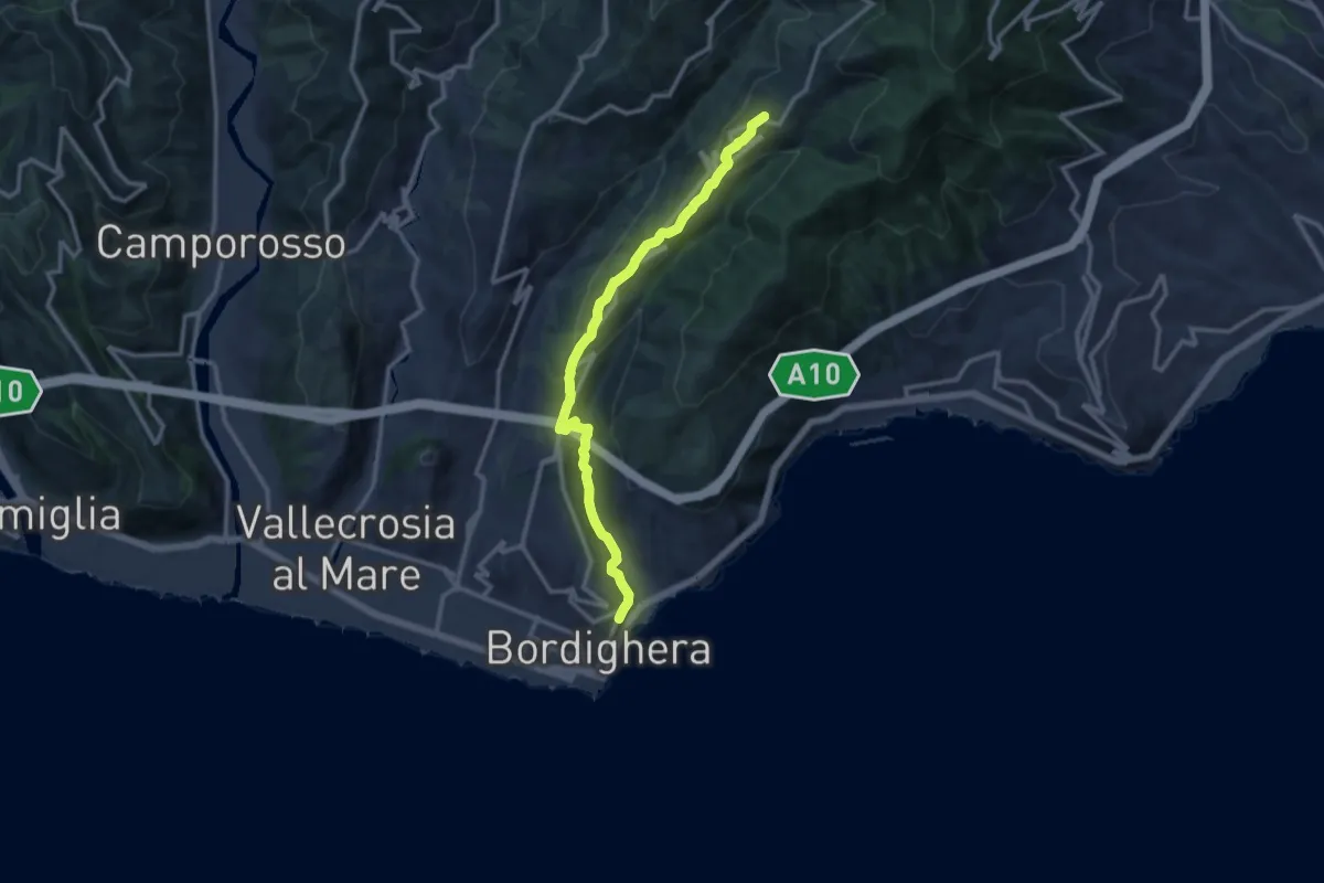
Medium · Trail
Madonna della Neve -> Seborga
12.6 km · ↑ 548 m · 4 h 10 min · 9 km away
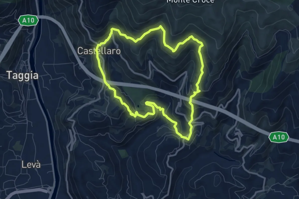
Medium · Trail
Anello del Rio Caravello
8.0 km · ↑ 446 m · 2 h 58 min · 9 km away
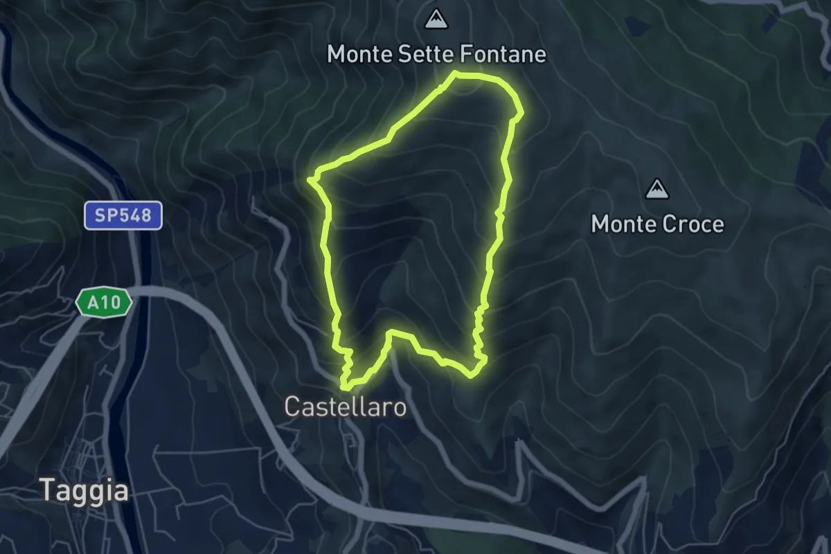
Medium · Trail
Anello del Monte Sette Fontane
5.1 km · ↑ 512 m · 2 h 22 min · 9 km away
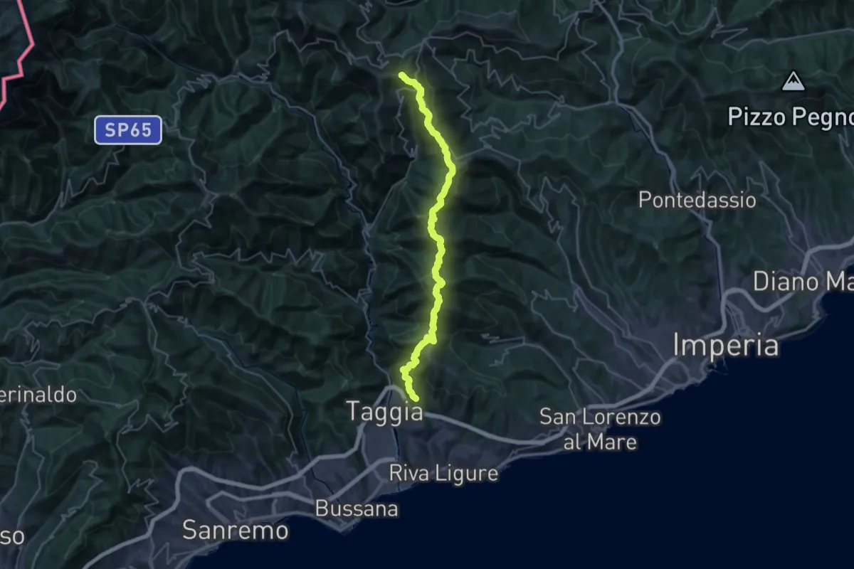
Demanding · Summit
AM2 - Alpi Mare 2
35.5 km · ↑ 2083 m · 12 h 54 min · 9 km away
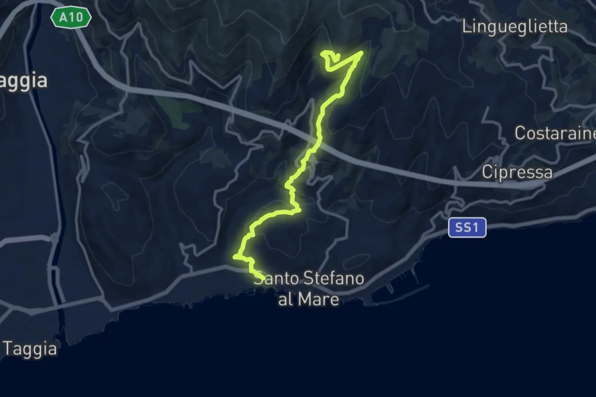
Medium · Trail
Santo Stefano al Mare – Costa dell'Omo
10.6 km · ↑ 622 m · 3 h 51 min · 10 km away
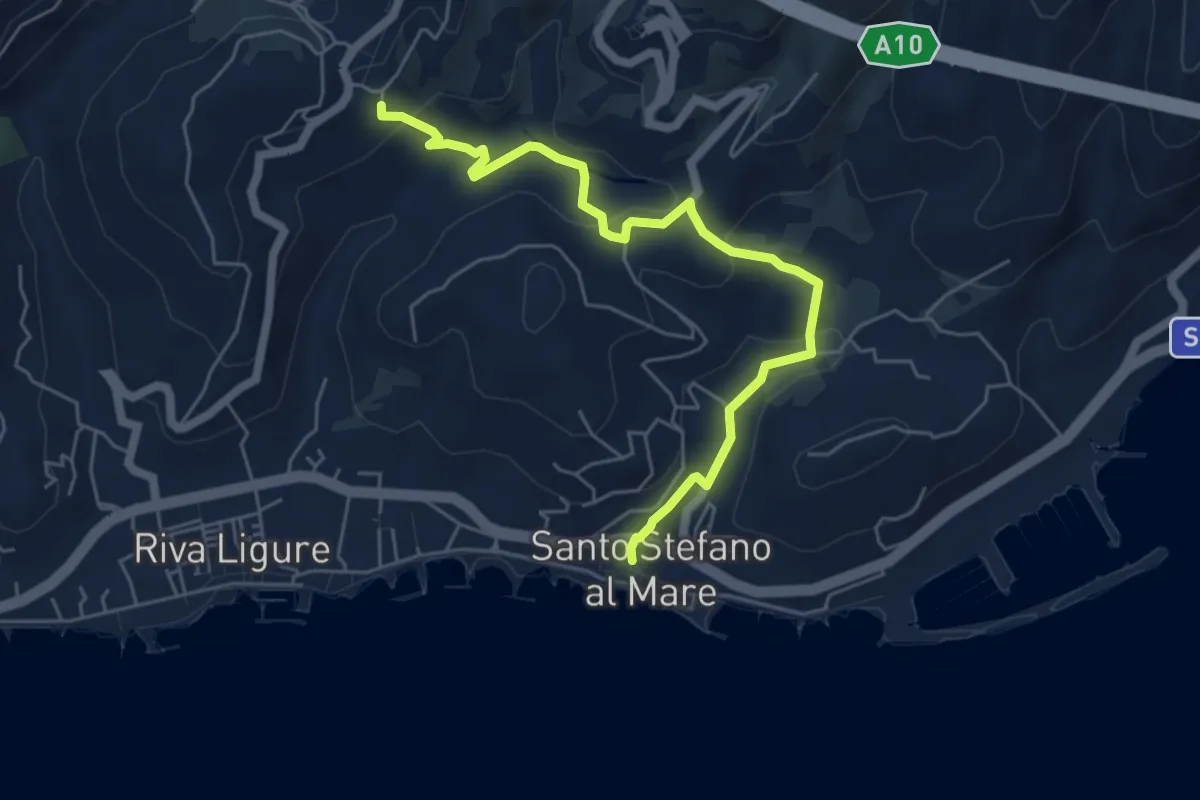
Easy · Trail
Santo Stefano al Mare – Pompeiana
6.1 km · ↑ 186 m · 1 h 51 min · 10 km away
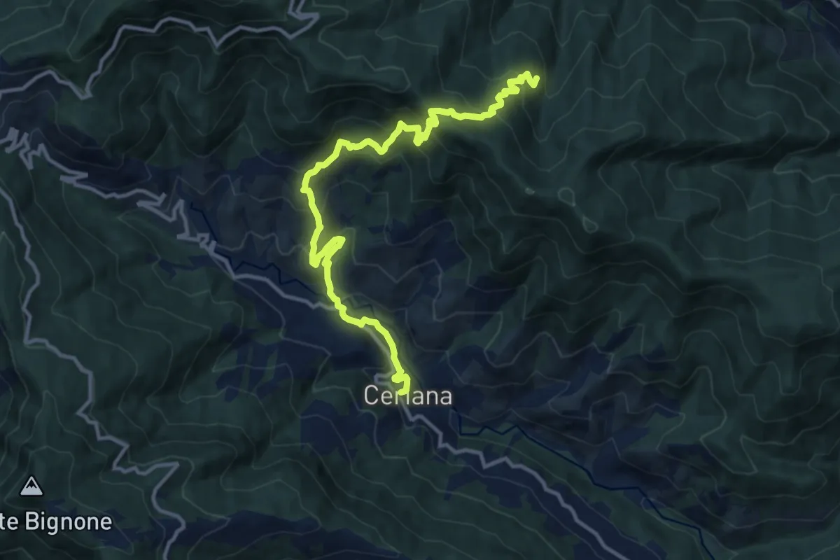
Demanding · Trail
Ceriana – Rifugio della Valle del Lago
13.5 km · ↑ 1125 m · 5 h 37 min · 10 km away
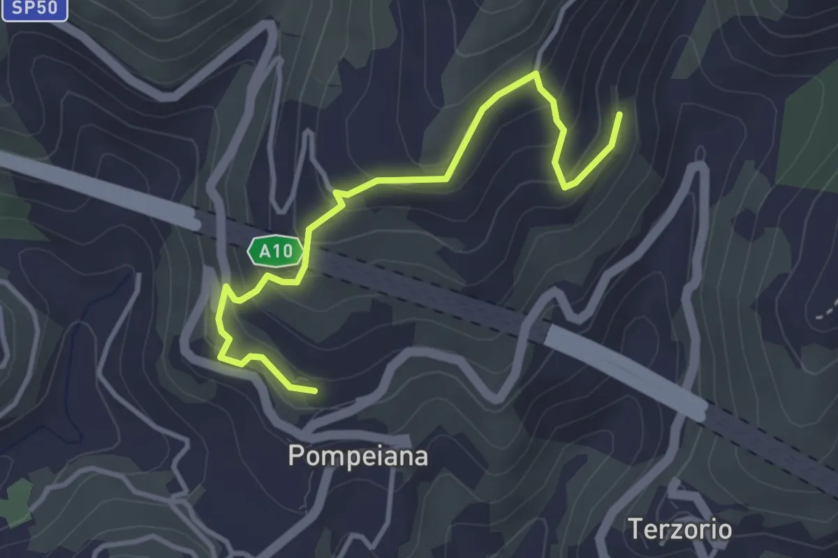
Easy · Trail
Varianti San Bernardo - Barbarasa
3.7 km · ↑ 280 m · 1 h 28 min · 10 km away
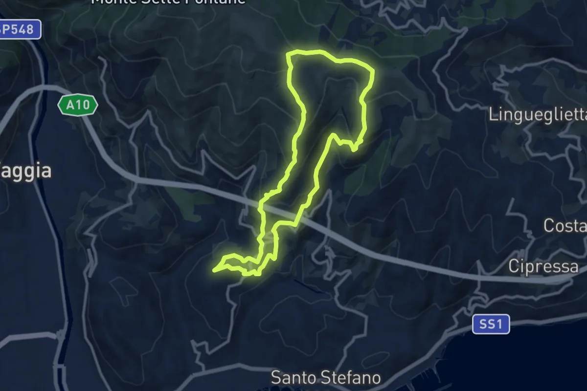
Medium · Summit
Anello delle borgate e del sito Natura 2000 di Pompeiana
9.0 km · ↑ 578 m · 3 h 30 min · 10 km away
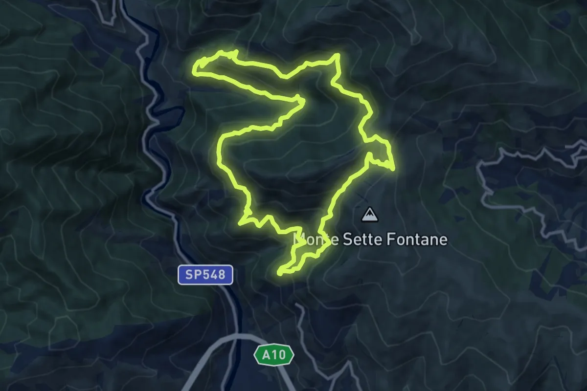
Demanding · Trail
Anello dell'Ubago di Castellaro
12.1 km · ↑ 918 m · 5 h 2 min · 10 km away
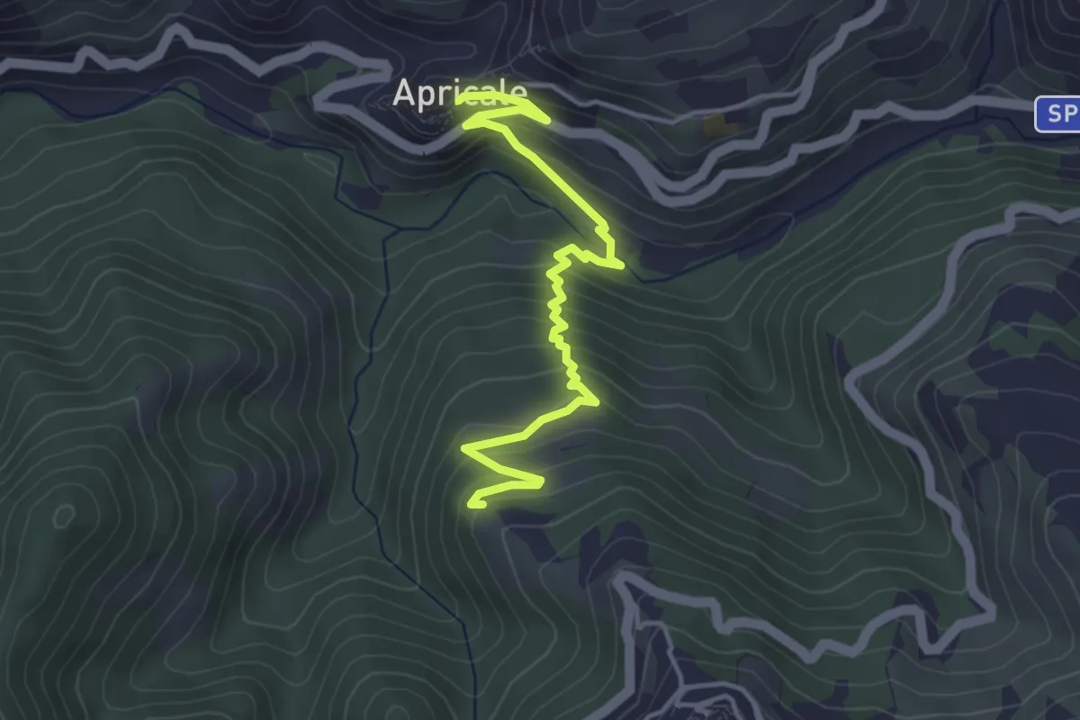
Medium · Trail
Apricale – Perinaldo
4.5 km · ↑ 354 m · 1 h 50 min · 11 km away
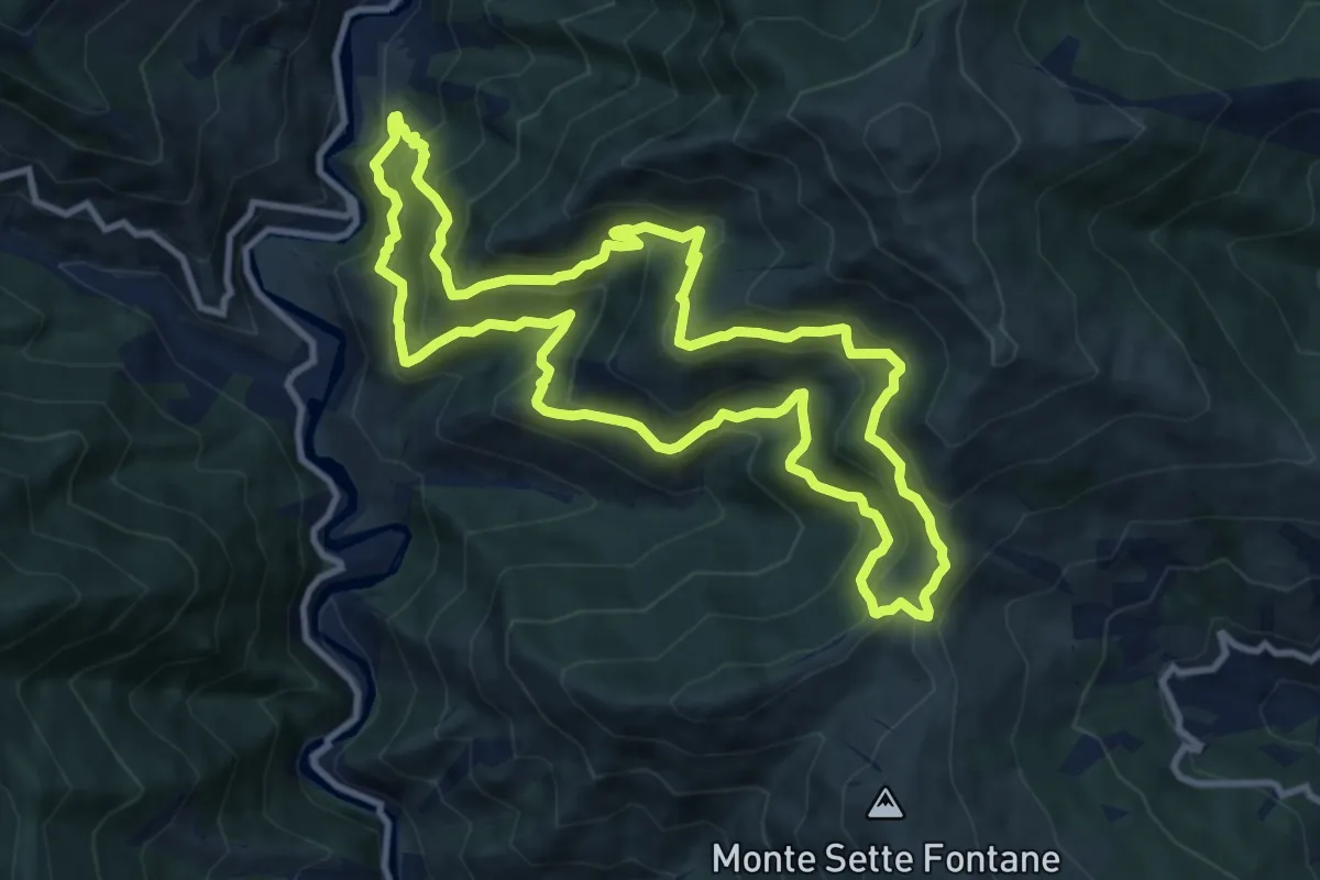
Demanding · Trail
Anello di San Salvatore
10.9 km · ↑ 928 m · 4 h 45 min · 12 km away
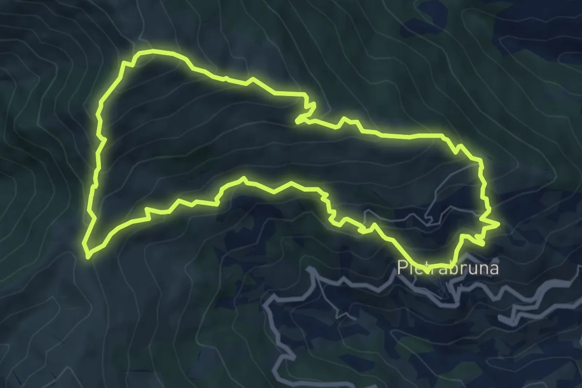
Demanding · Summit
Anello Pietrabruna - Monte Follia
7.9 km · ↑ 656 m · 3 h 24 min · 12 km away
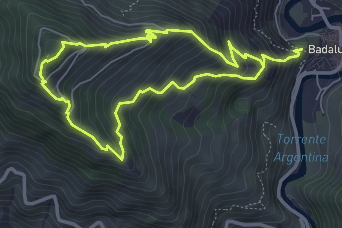
Medium · Trail
Anello Madonna della Neve
4.6 km · ↑ 410 m · 2 h 6 min · 12 km away
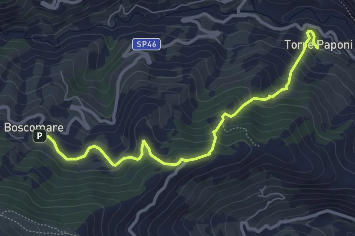
Medium · Trail
Torre Paponi - Boscomare
6.4 km · ↑ 447 m · 2 h 29 min · 13 km away
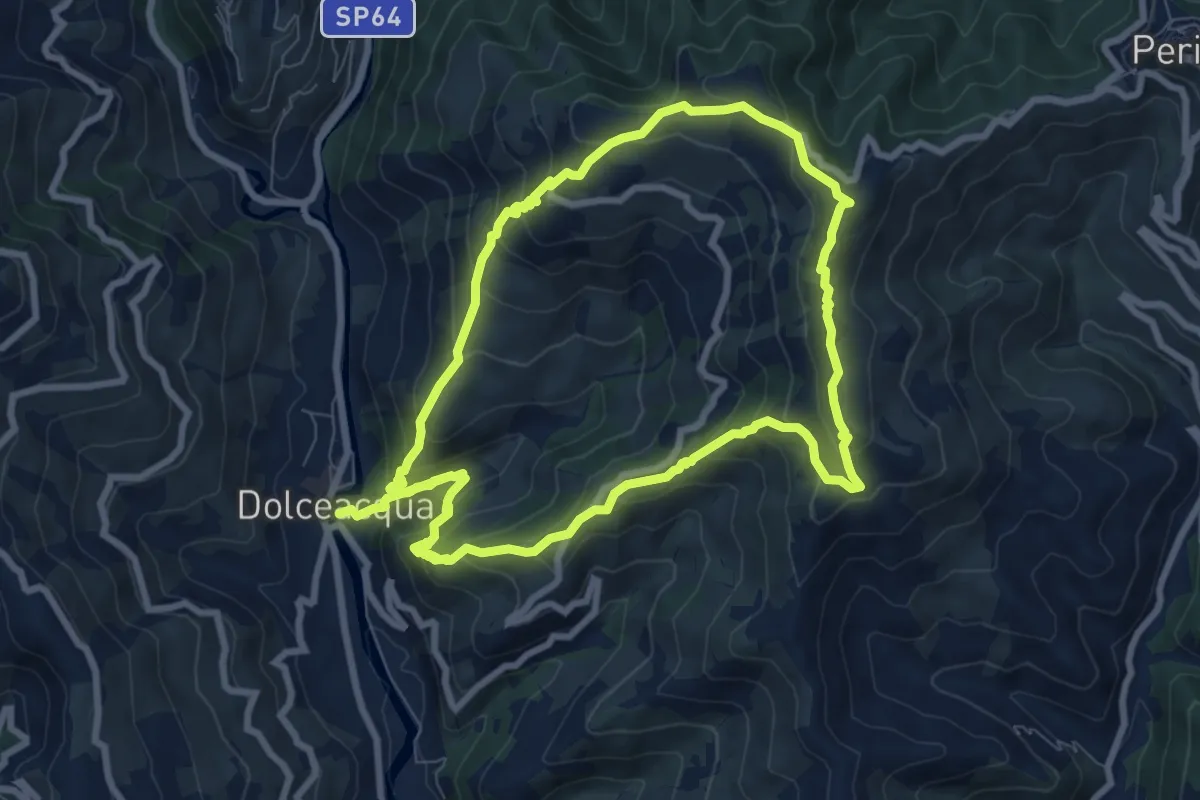
Medium · Summit
Rochin
8.2 km · ↑ 650 m · 3 h 25 min · 13 km away
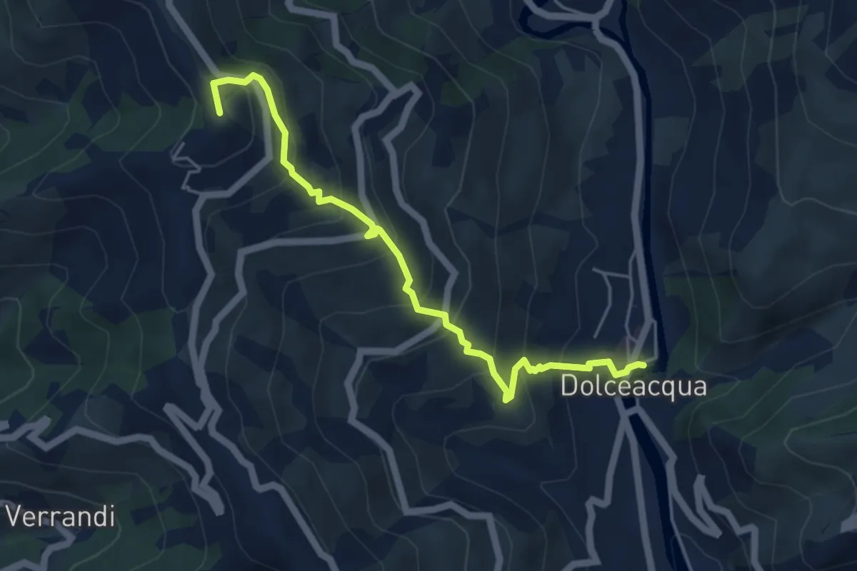
Medium · Summit
Sentiero Balcone
5.1 km · ↑ 457 m · 2 h 11 min · 13 km away
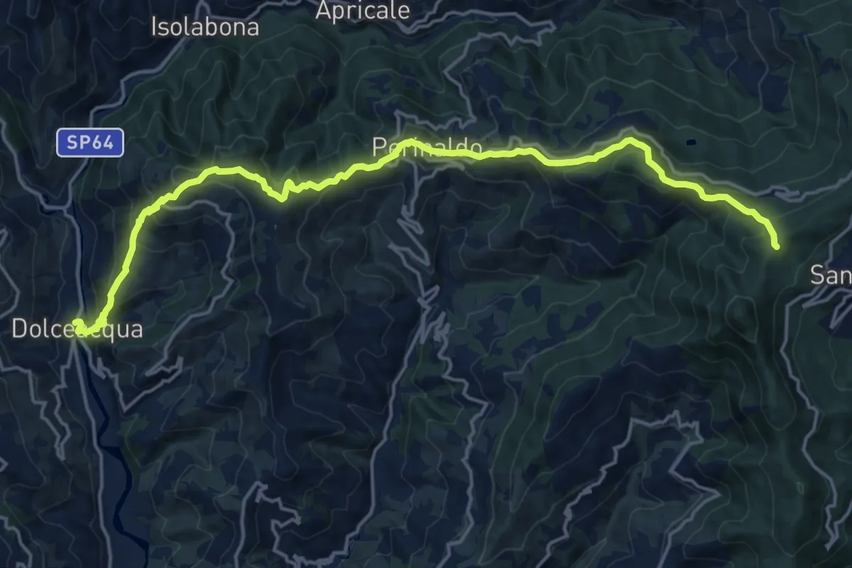
Demanding · Summit
Sentiero Balcone Mediterraneo T3
20.0 km · ↑ 1281 m · 7 h 29 min · 13 km away
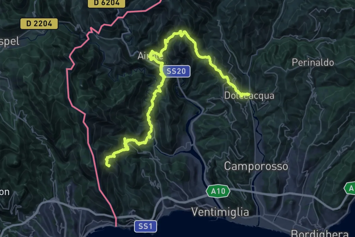
Demanding · Summit
Sentiero Liguria - Tappa 27 - variante 2
47.2 km · ↑ 3892 m · 19 h 35 min · 13 km away
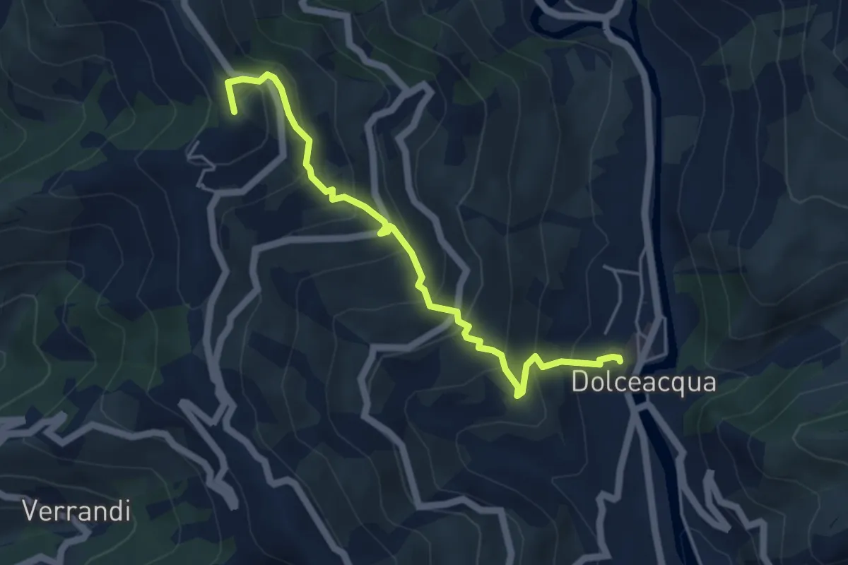
Medium · Summit
Dolceacqua – Cima Tramontina
4.8 km · ↑ 447 m · 2 h 6 min · 13 km away
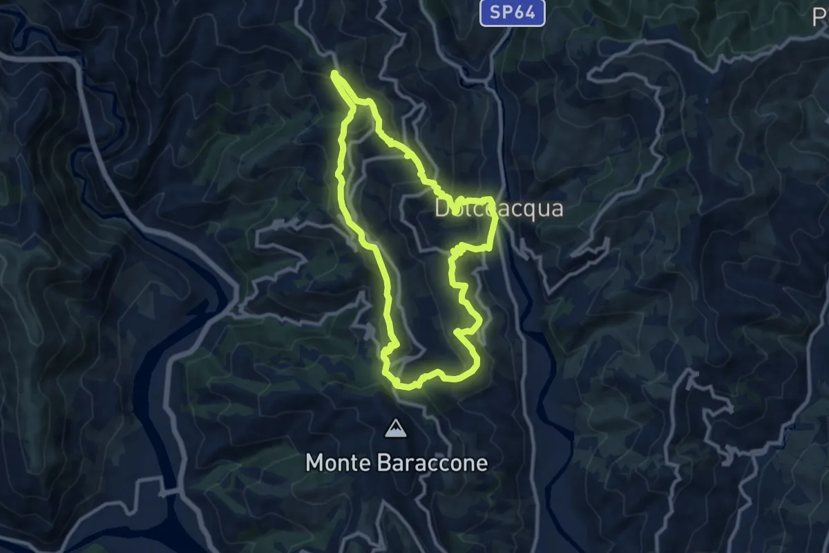
Medium · Summit
Arcagna
9.9 km · ↑ 626 m · 3 h 50 min · 13 km away
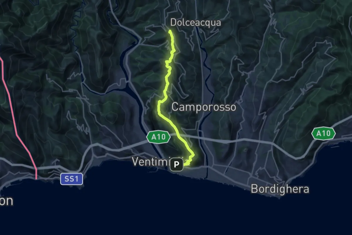
Demanding · Summit
Ventimiglia - La Colla
18.1 km · ↑ 968 m · 6 h 23 min · 13 km away
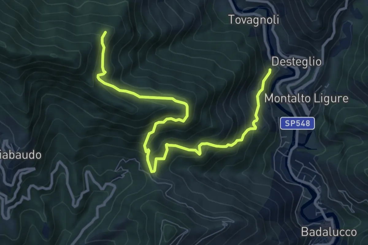
Demanding · Trail
Desteglio – Costa dei Campi
9.4 km · ↑ 923 m · 4 h 14 min · 13 km away
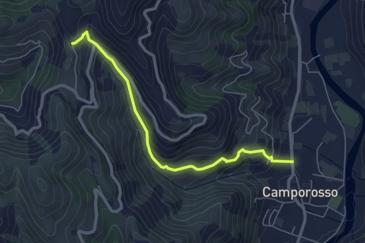
Medium · Trail
Camporosso – Madonna della Neve
4.9 km · ↑ 355 m · 1 h 56 min · 13 km away
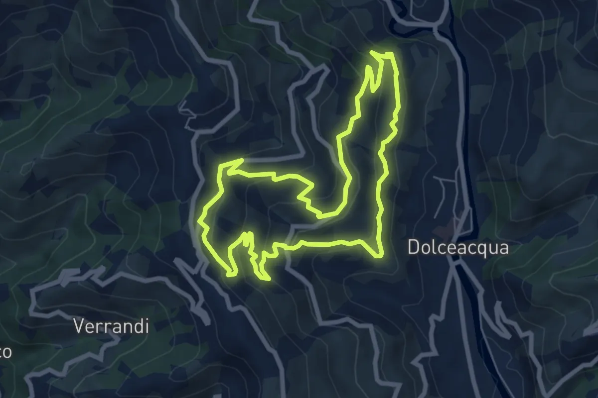
Medium · Trail
Gardiola
6.3 km · ↑ 385 m · 2 h 24 min · 14 km away
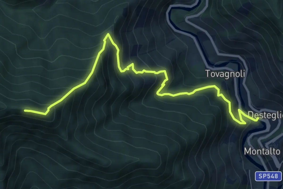
Demanding · Summit
Montalto Ligure – Monte Pallarea
8.4 km · ↑ 968 m · 4 h 5 min · 14 km away
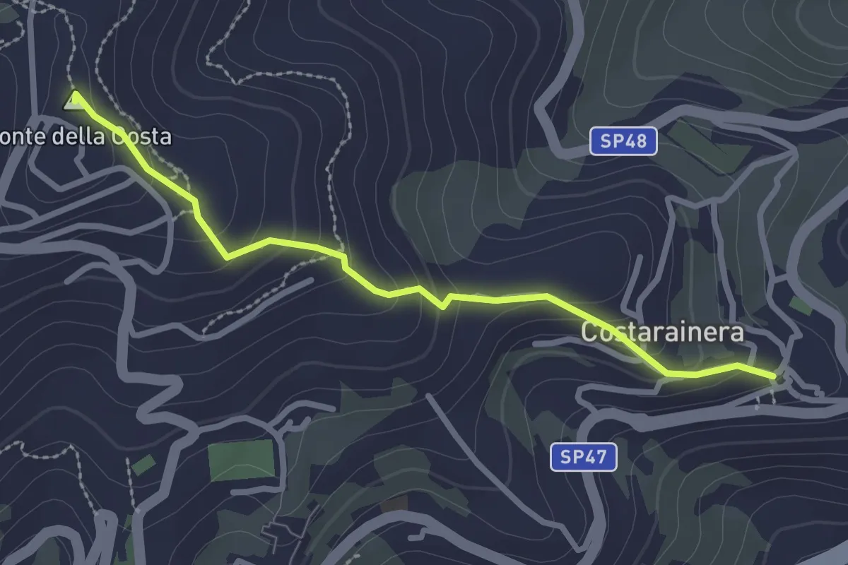
Easy · Summit
Costarainera – Lingueglietta
2.7 km · ↑ 155 m · 58 min · 14 km away
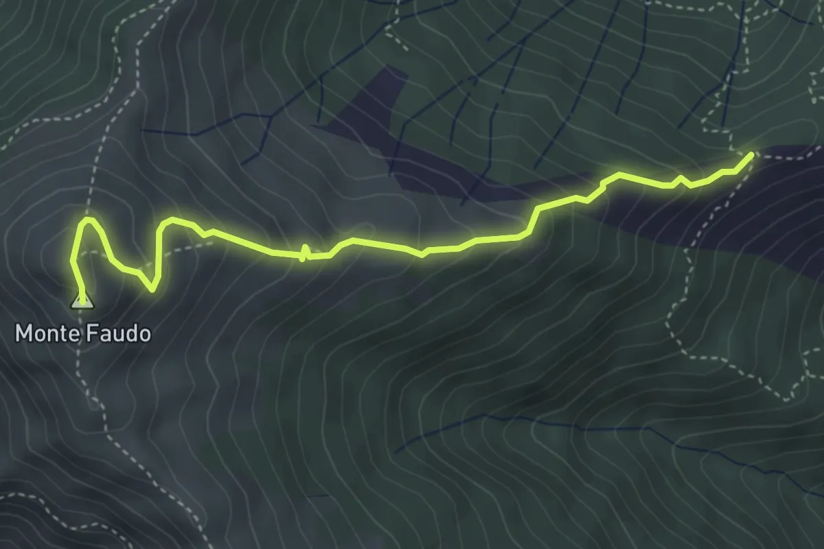
Medium · Summit
Passo Bastia – Monte Faudo
4.5 km · ↑ 378 m · 1 h 53 min · 14 km away
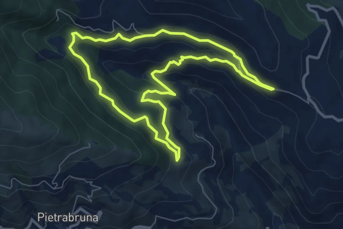
Demanding · Trail
Passeggiata dei Ponti
6.3 km · ↑ 317 m · 2 h 15 min · 14 km away
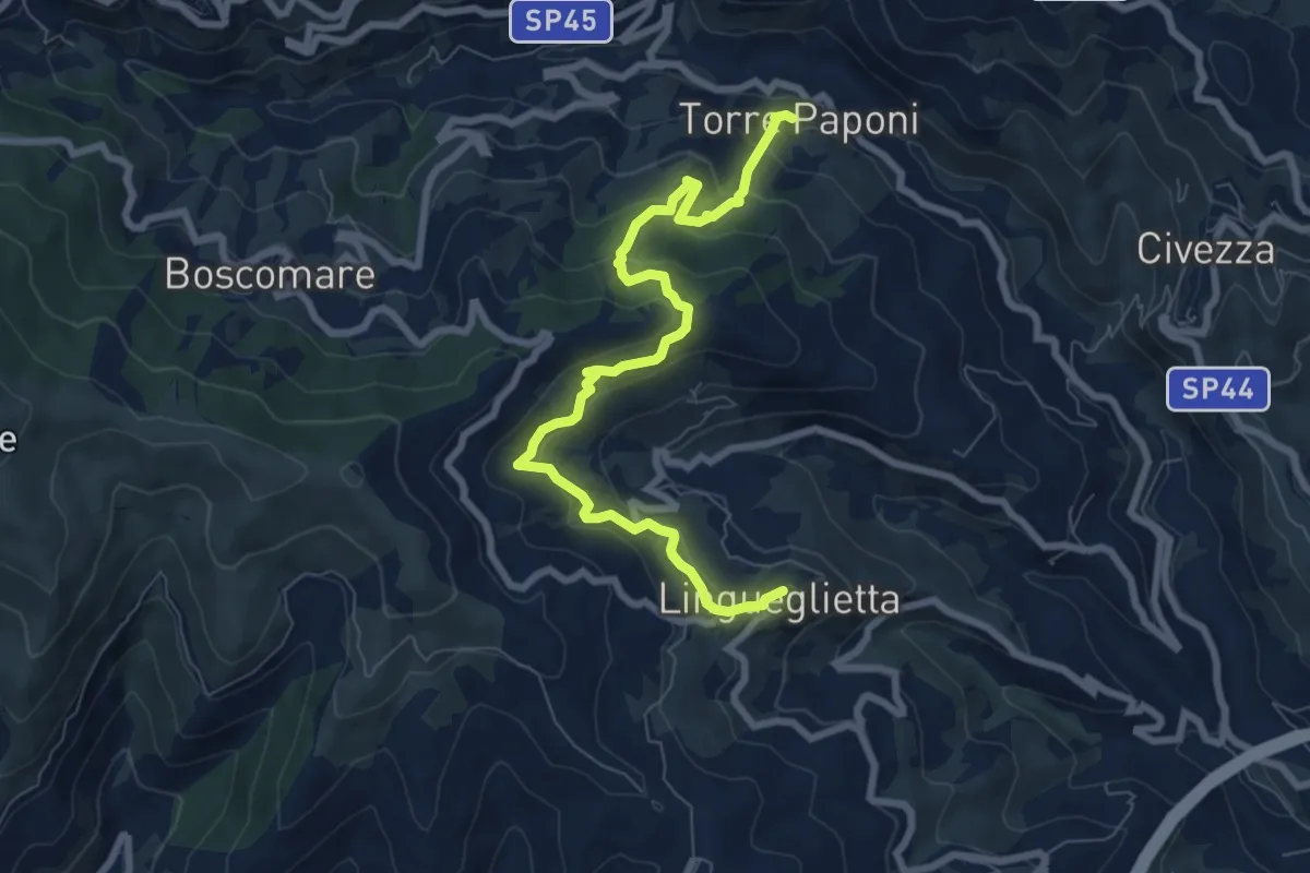
Medium · Trail
Torre Paponi - Lingueglietta
8.6 km · ↑ 497 m · 3 h 7 min · 15 km away
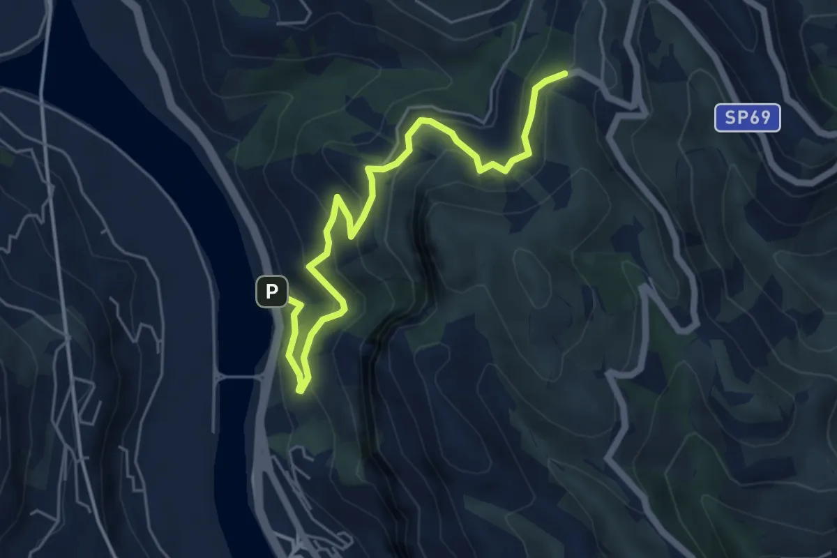
Medium · Trail
Roverino – Ciaxie
5.8 km · ↑ 501 m · 2 h 27 min · 15 km away