Trails near Sansepolcro
71 hikes starting within 15 km, nearest first.
Nearest first, page 1 of 2
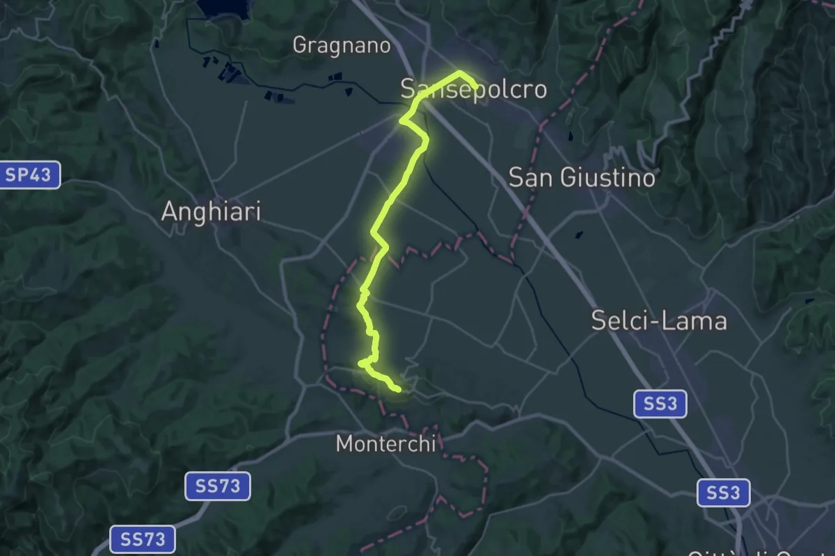
Demanding · Trail
Via di Francesco - Tappa 3
24.2 km · ↑ 302 m · 6 h 22 min · under 1 km away
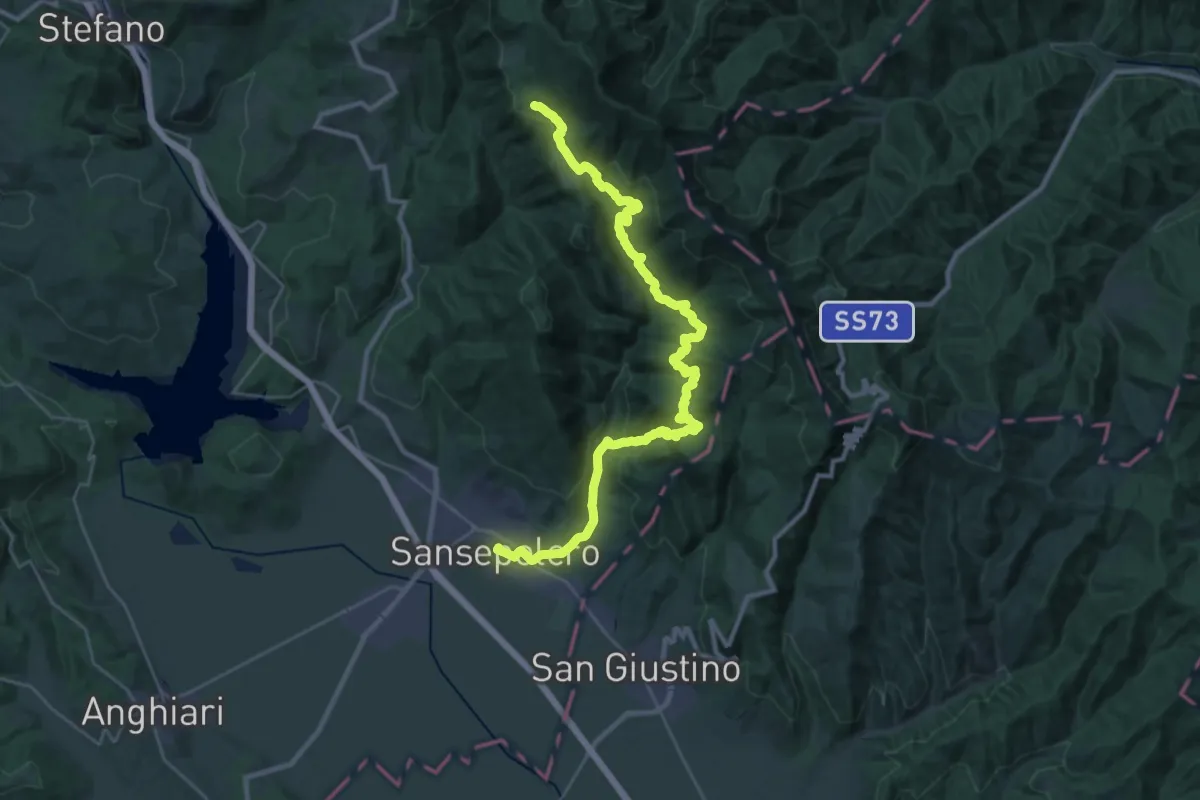
Demanding · Cabin
Via di Francesco - Tappa 3 Pian della Capanna-San Sepolcro
17.7 km · ↑ 1083 m · 6 h 26 min · under 1 km away
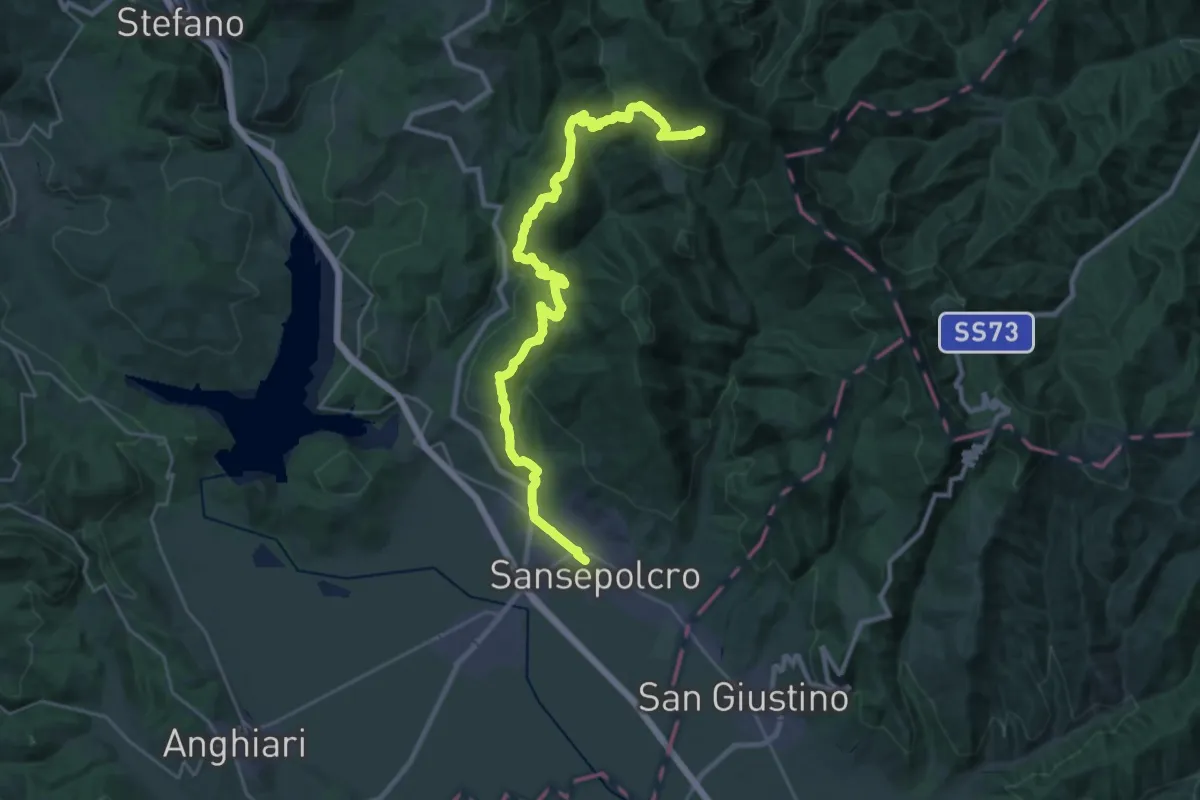
Demanding · Summit
Sansepolcro – Innesto sentiero 00 a Monte Maggiore
32.5 km · ↑ 1489 m · 10 h 53 min · under 1 km away
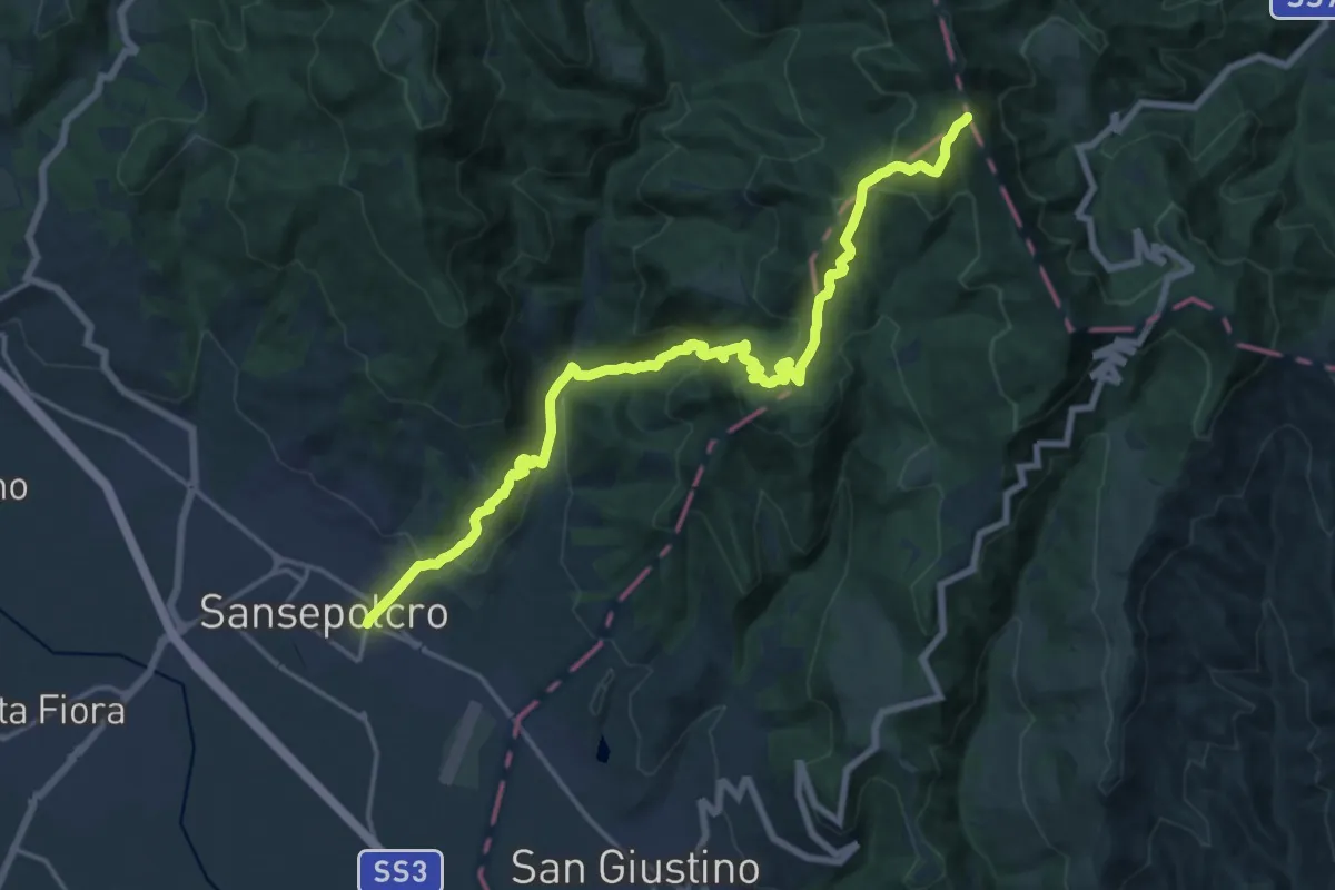
Demanding · Summit
Sansepolcro – Poggio dei tre Termini
20.7 km · ↑ 1144 m · 7 h 23 min · under 1 km away
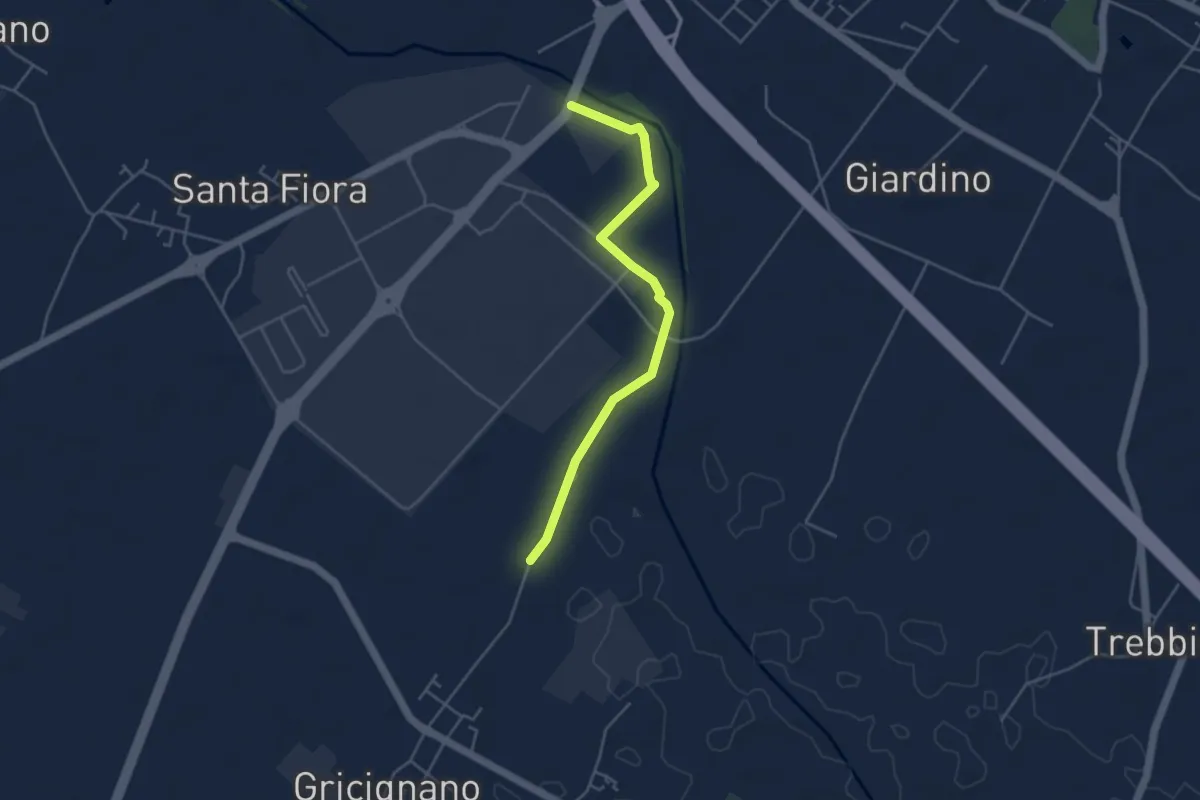
Easy · Trail
Senese aretina ponte del Tevere – Podere Violino
4.5 km · ↑ 4 m · 1 h 4 min · 2 km away
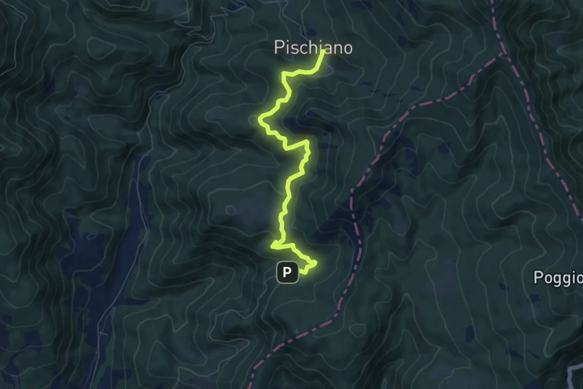
Medium · Trail
Montecasale Innesto sentiero 4 – Pischiano Innesto sentiero 6
7.6 km · ↑ 387 m · 2 h 38 min · 5 km away
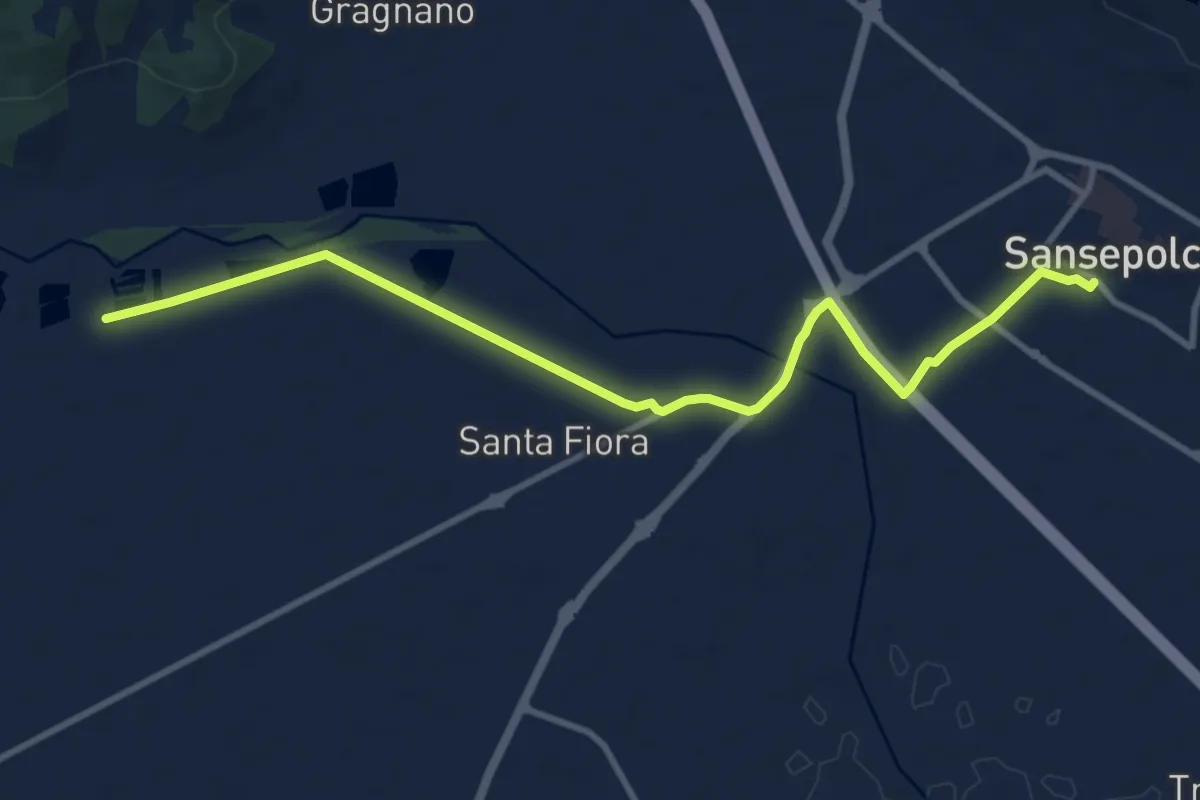
Medium · Trail
Sansepolcro – Santa Croce
11.5 km · ↑ 30 m · 2 h 46 min · 5 km away
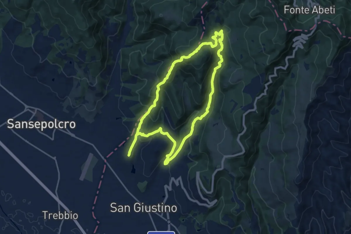
Medium · Summit
Anello Cospaia (Sentiero del Contrabbandiere)
12.7 km · ↑ 574 m · 4 h 26 min · 6 km away
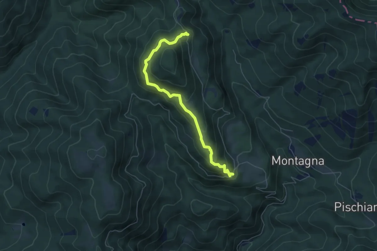
Medium · Trail
Germagnano – La Spinella
5.9 km · ↑ 433 m · 2 h 20 min · 6 km away
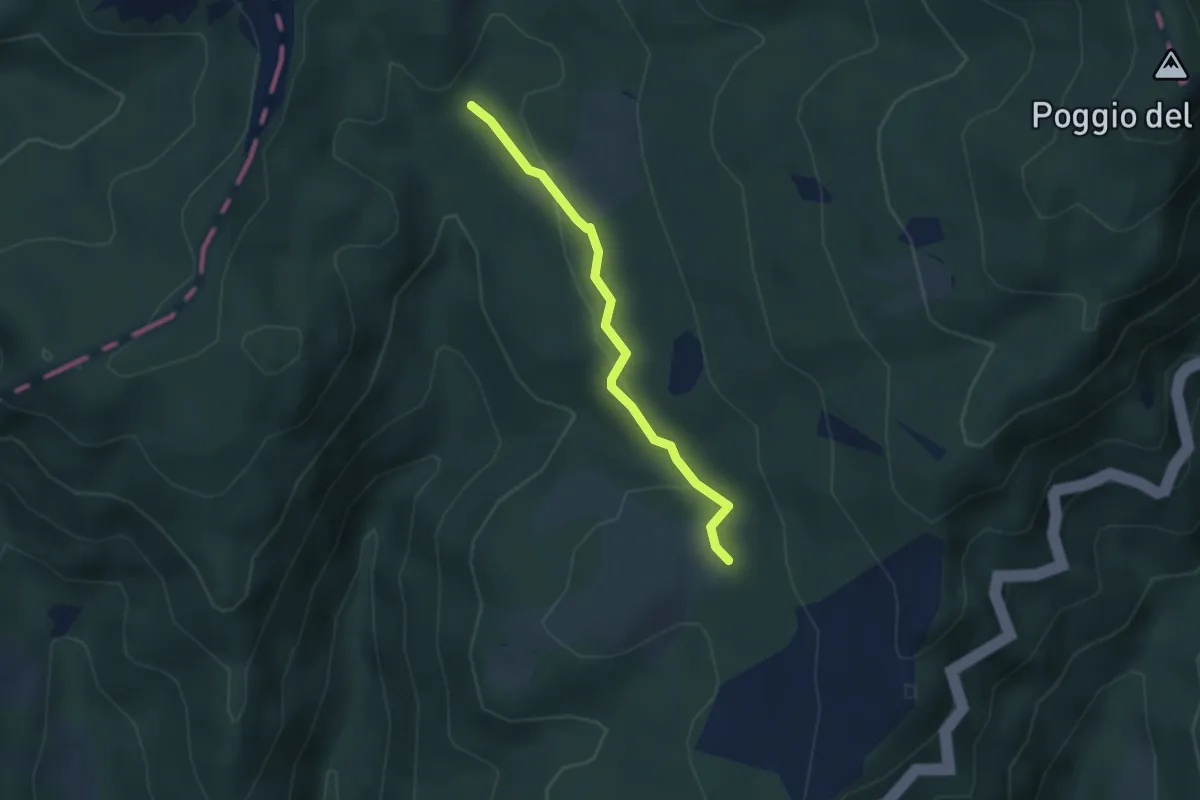
Easy · Trail
Intersezione percorso 131 Abbadiaccia – Intersezione percorso 130
3.0 km · ↑ 76 m · 53 min · 6 km away
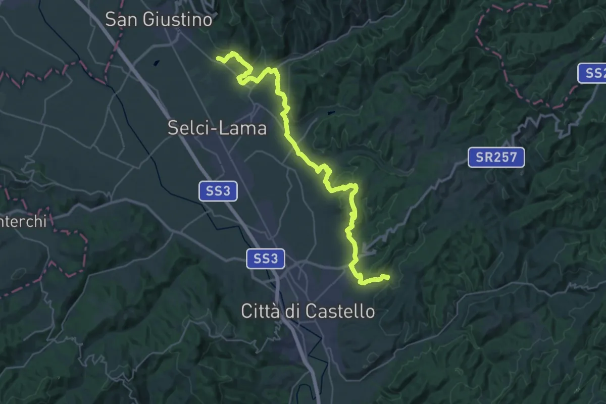
Medium · Trail
Celalba – Fontecchio
16.5 km · ↑ 372 m · 4 h 56 min · 6 km away
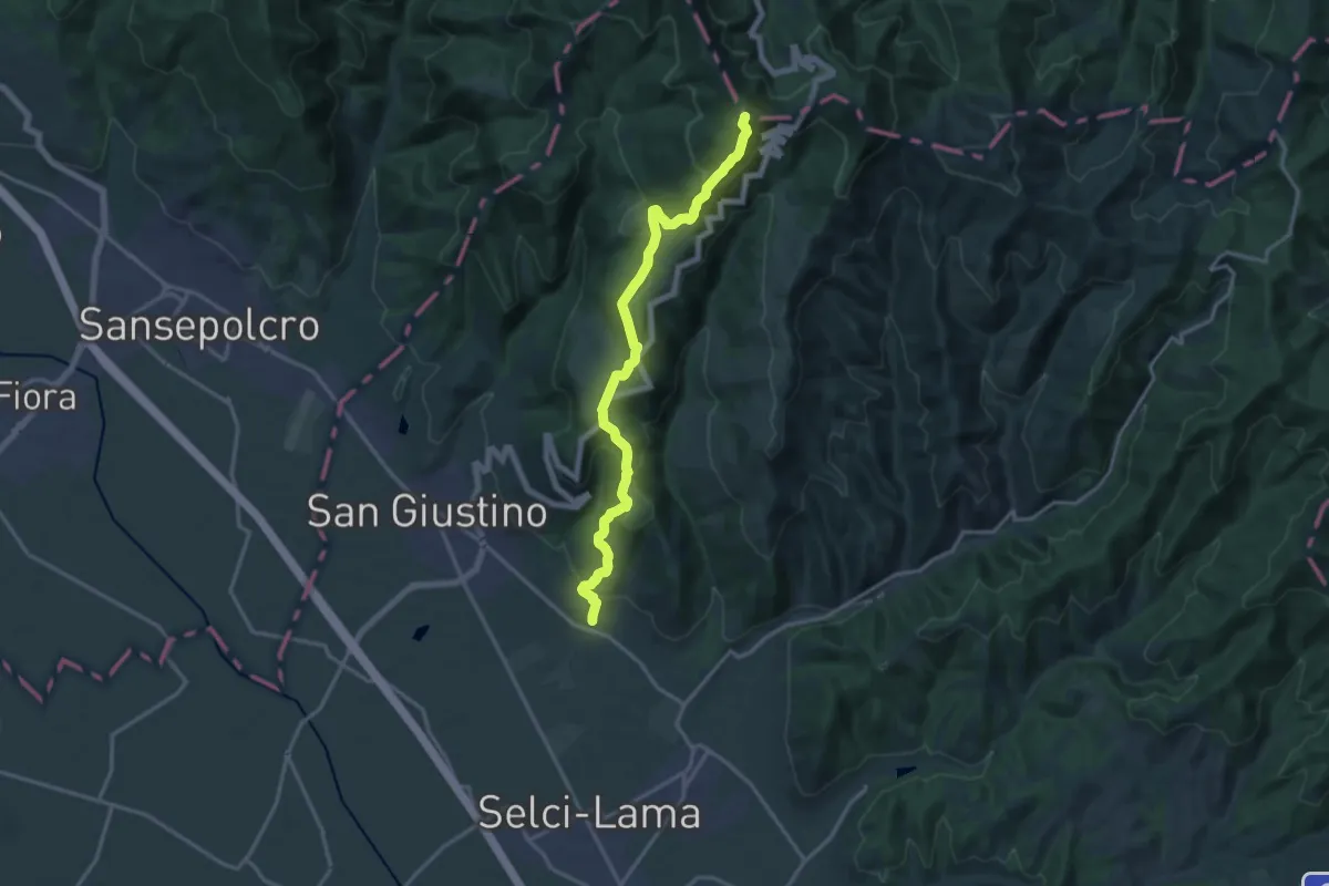
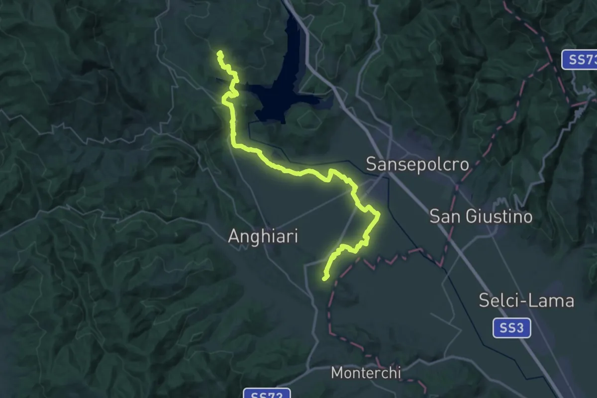
Demanding · Summit
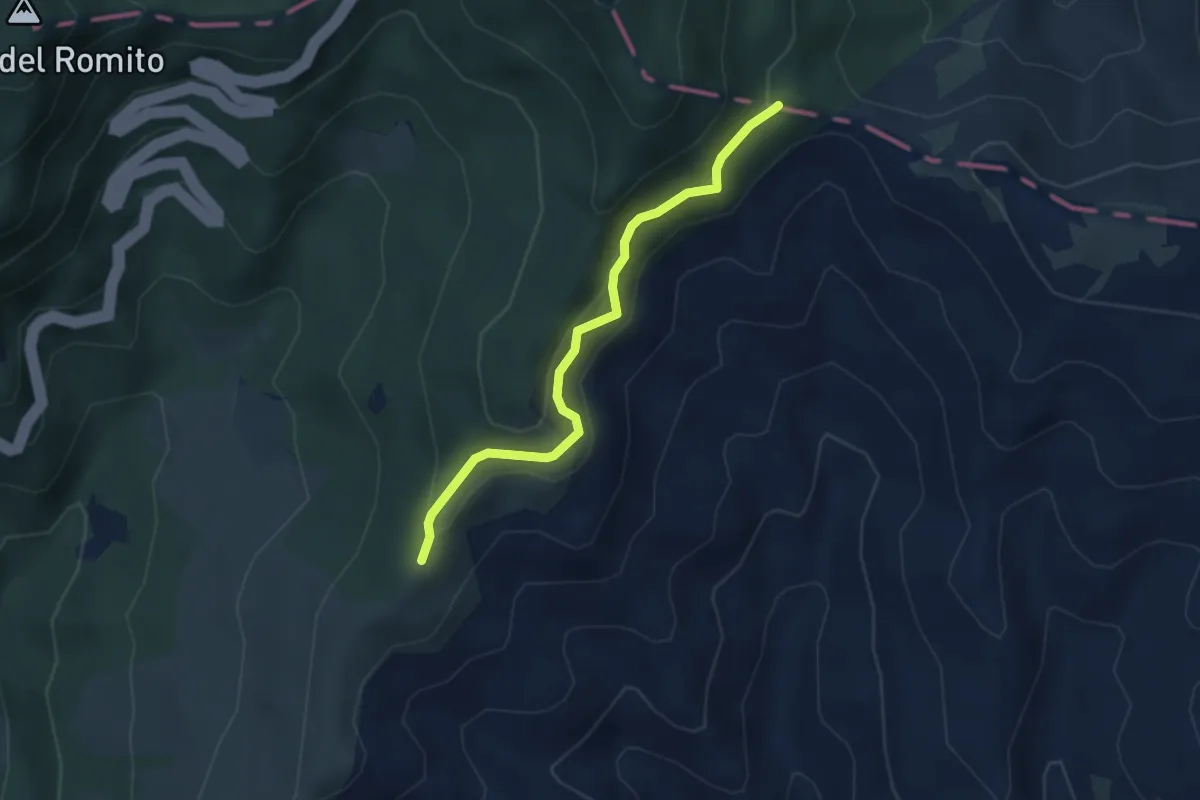
Celalba – Sentiero Italia Poggio del Romito
16.9 km · ↑ 870 m · 5 h 52 min · 6 km away
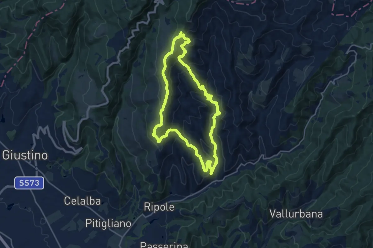
Demanding · Summit
Sentiero 10 presso loc. Turicchi – Sentiero 2 (021) presso Rocca Cignata
40.7 km · ↑ 576 m · 10 h 52 min · 7 km away
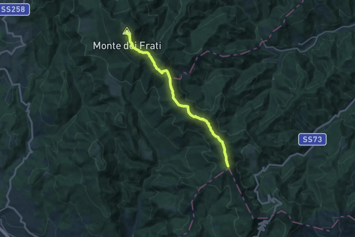
Medium · Summit
Anello della Metola
13.1 km · ↑ 650 m · 4 h 41 min · 7 km away
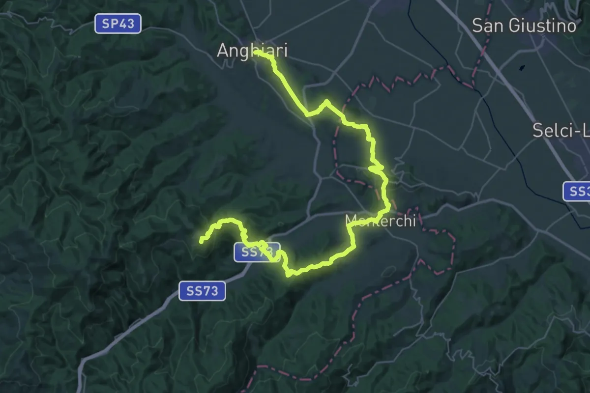
Medium · Summit
Sentiero 00
15.0 km · ↑ 753 m · 5 h 10 min · 7 km away
Demanding · Summit
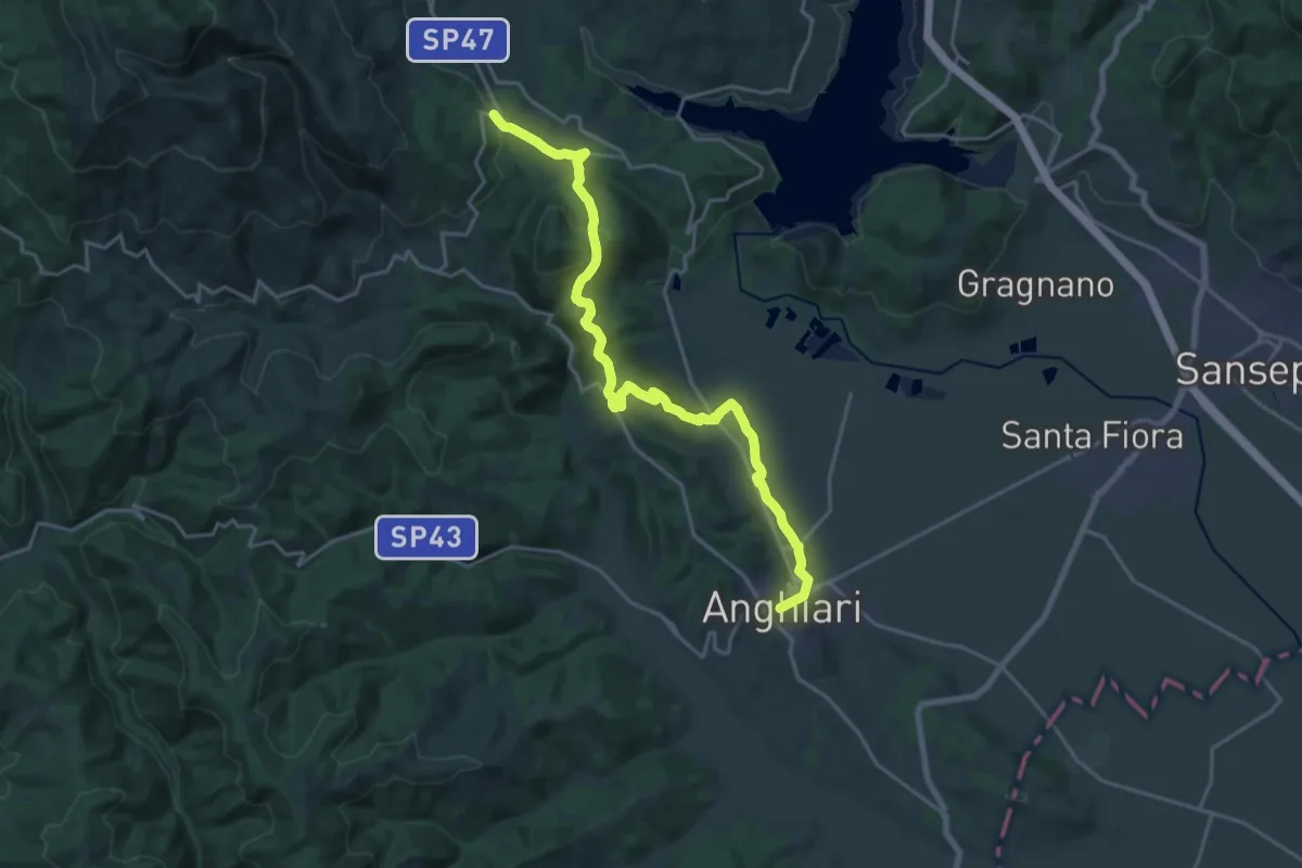
Anghiari – Sentiero 50 presso Casa al Vento
44.2 km · ↑ 1424 m · 13 h 31 min · 8 km away
Demanding · Trail
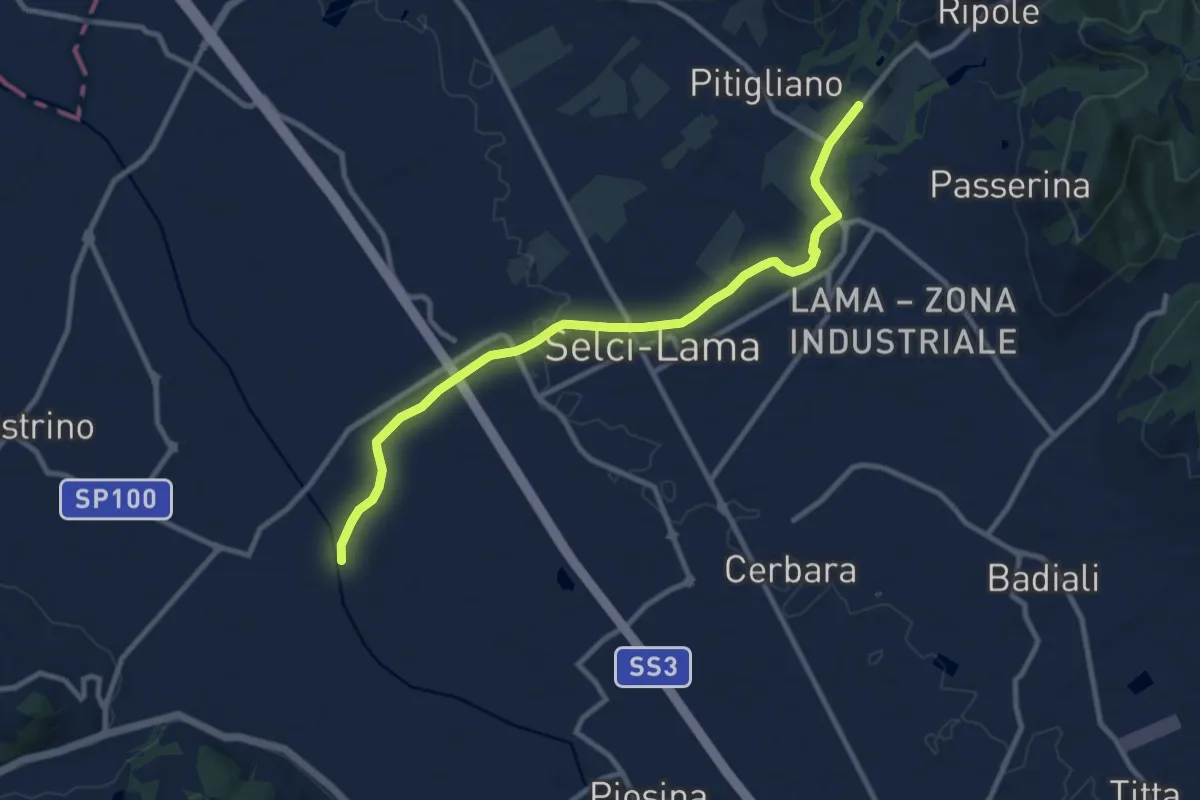
Sentiero 2 presso Selvaperugina – Anghiari
22.5 km · ↑ 649 m · 6 h 43 min · 8 km away
Medium · Trail
Colle Plinio – Intersezione Sentiero Tevere 126
11.1 km · ↑ 74 m · 2 h 47 min · 8 km away
Demanding · Summit
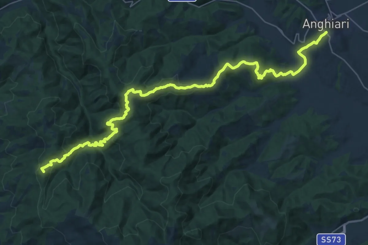
Arezzo (acquedotto Vasariano) – Anghiari
32.2 km · ↑ 1333 m · 10 h 30 min · 8 km away
Easy · Summit
Col della Faccenda – Sbocco le Macinelle Sentiero Italia
3.4 km · ↑ 244 m · 1 h 20 min · 8 km away
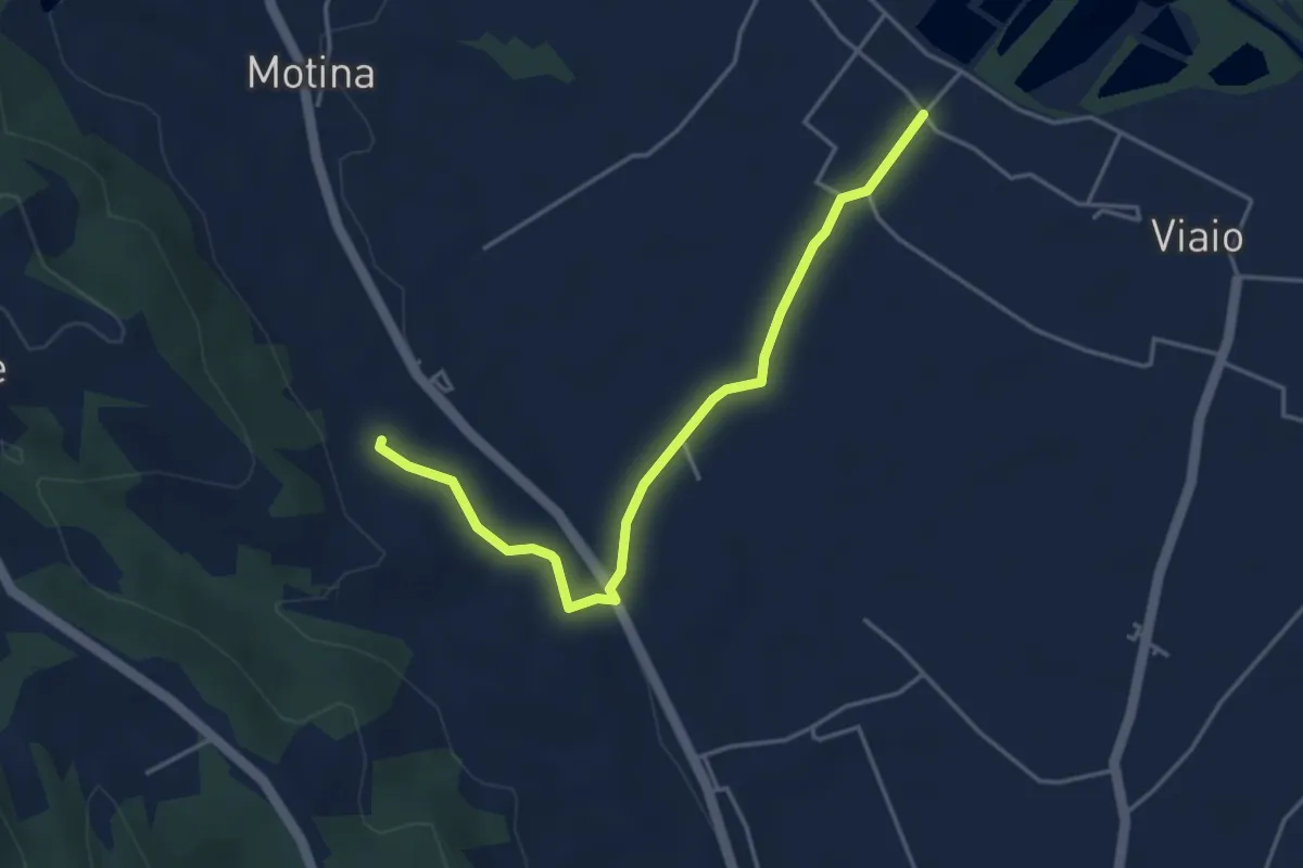
Easy · Trail
Sentiero 14 presso Viaio – Micciano
4.5 km · ↑ 42 m · 1 h 10 min · 8 km away
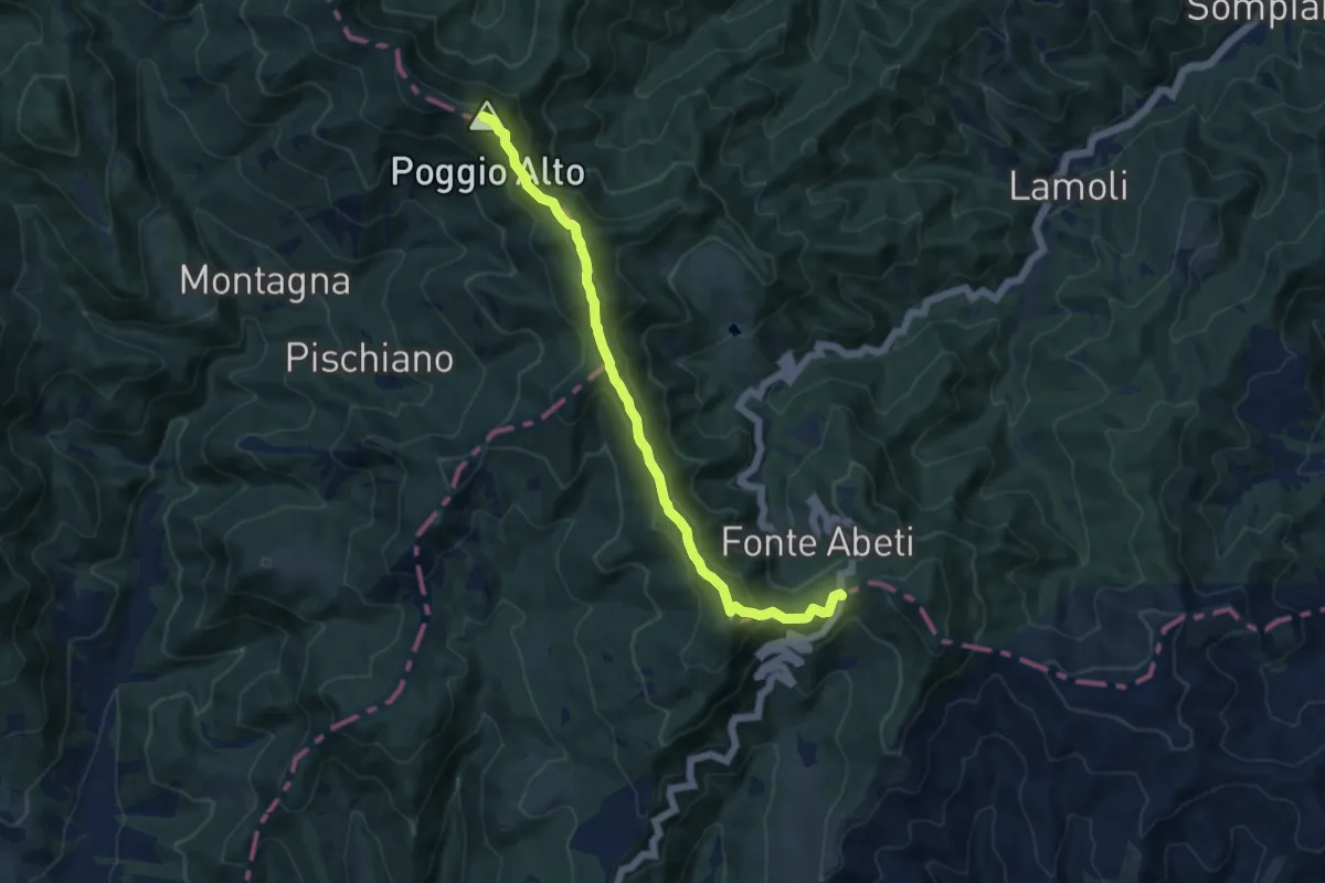
Medium · Summit
Bocca Trabaria – Passo Sbocco di Bucine
10.8 km · ↑ 521 m · 3 h 41 min · 8 km away
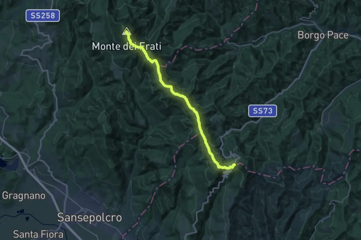
Demanding · Summit
Bocca Trabaria – Passo di Viamaggio
21.5 km · ↑ 1052 m · 7 h 22 min · 8 km away
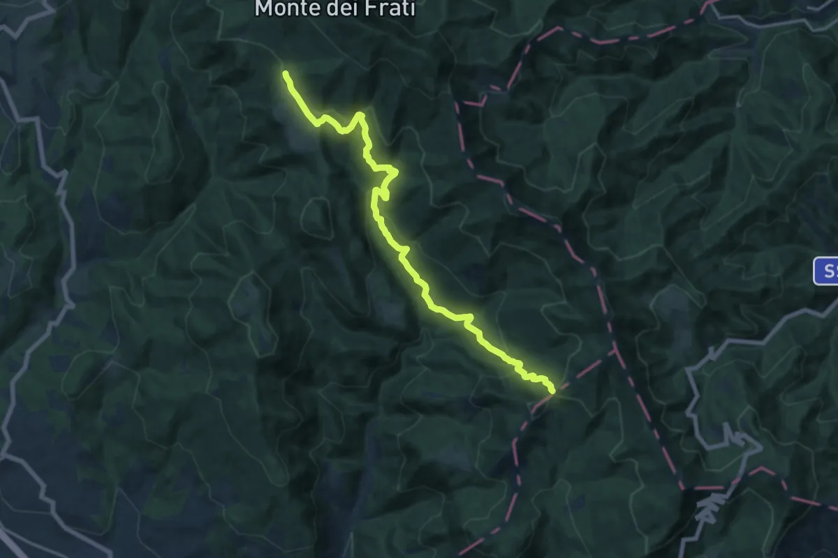
Demanding · Trail
Innesto sentiero 4 – Innesto sentiero 8
16.2 km · ↑ 817 m · 5 h 36 min · 9 km away
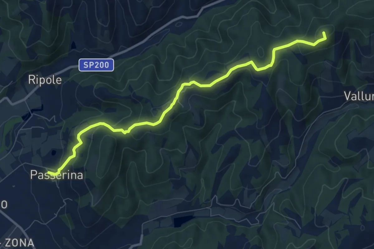
Medium · Summit
Passerina – Sentiero Italia
9.2 km · ↑ 438 m · 3 h 8 min · 9 km away
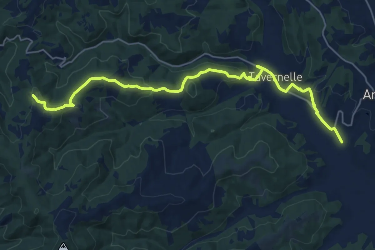
Medium · Trail
Sentiero 50 presso La Scheggia – Anghiari
17.5 km · ↑ 457 m · 5 h 7 min · 9 km away
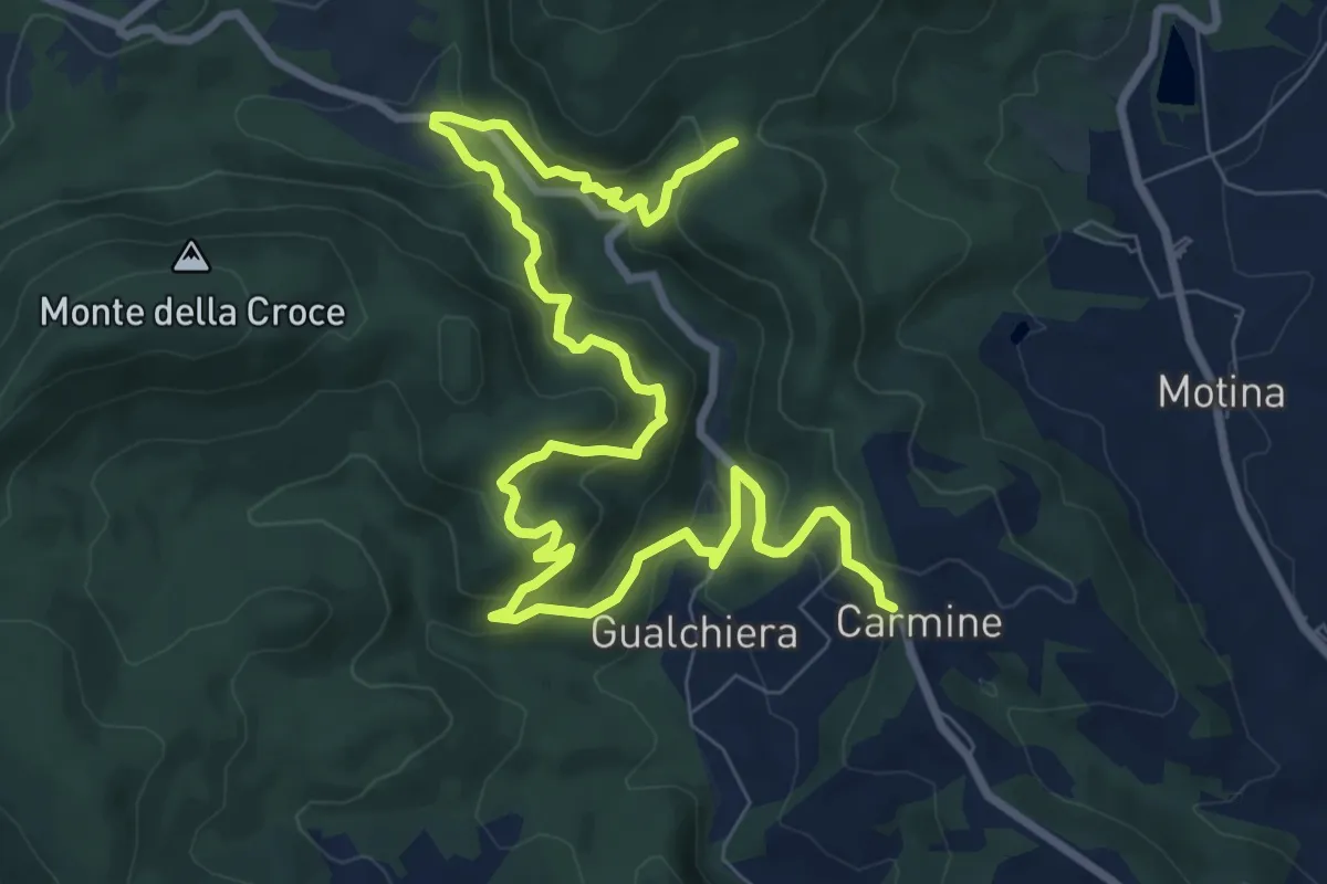
Medium · Trail
Sentiero 94 loc Carmine – Sentiero 94 loc Castiglione
12.7 km · ↑ 728 m · 4 h 34 min · 10 km away
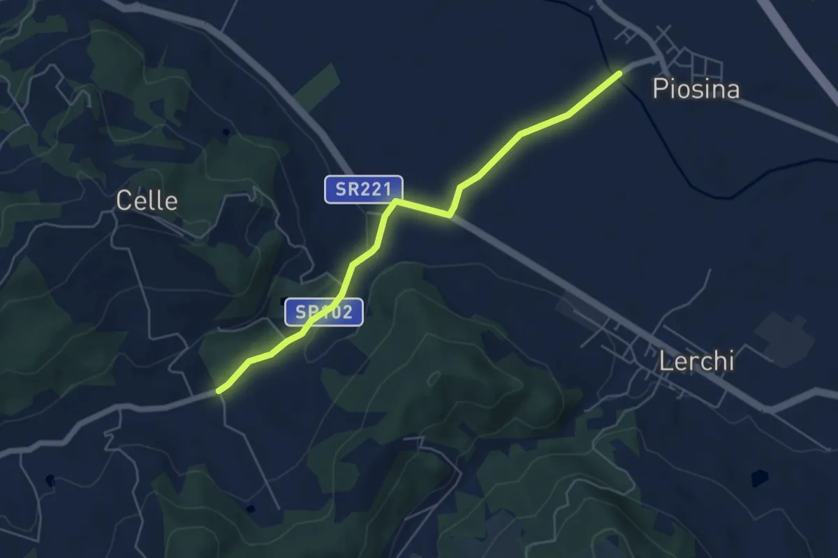
Easy · Trail
Caldese – Piosina Sentiero Tevere 126
5.5 km · ↑ 31 m · 1 h 23 min · 10 km away
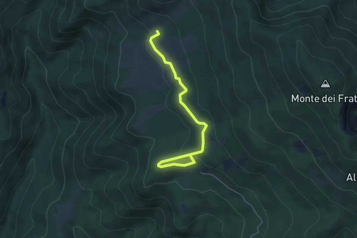
Easy · Summit
Pian delle Capanne – Poggio delle Coste
4.6 km · ↑ 155 m · 1 h 25 min · 10 km away
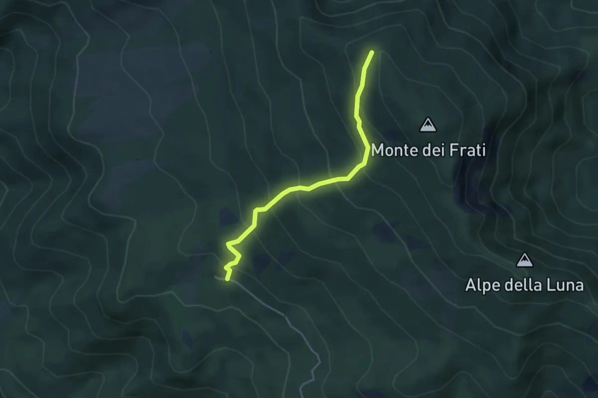
Medium · Cabin
Pian delle Capanne – Monte dei Frati
3.6 km · ↑ 343 m · 1 h 36 min · 10 km away
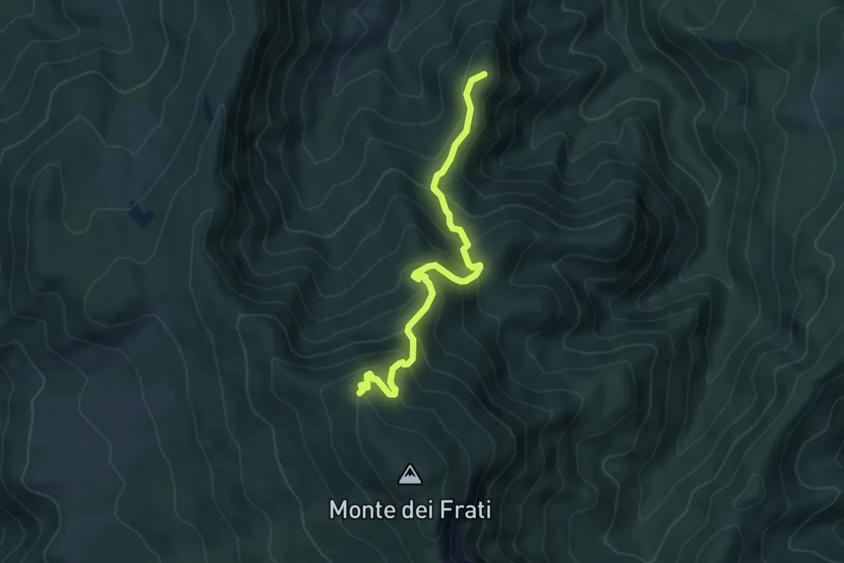
Medium · Summit
Badia Tedalda – Inn. Sent. 00-GEA Monte Frati
5.5 km · ↑ 498 m · 2 h 23 min · 10 km away
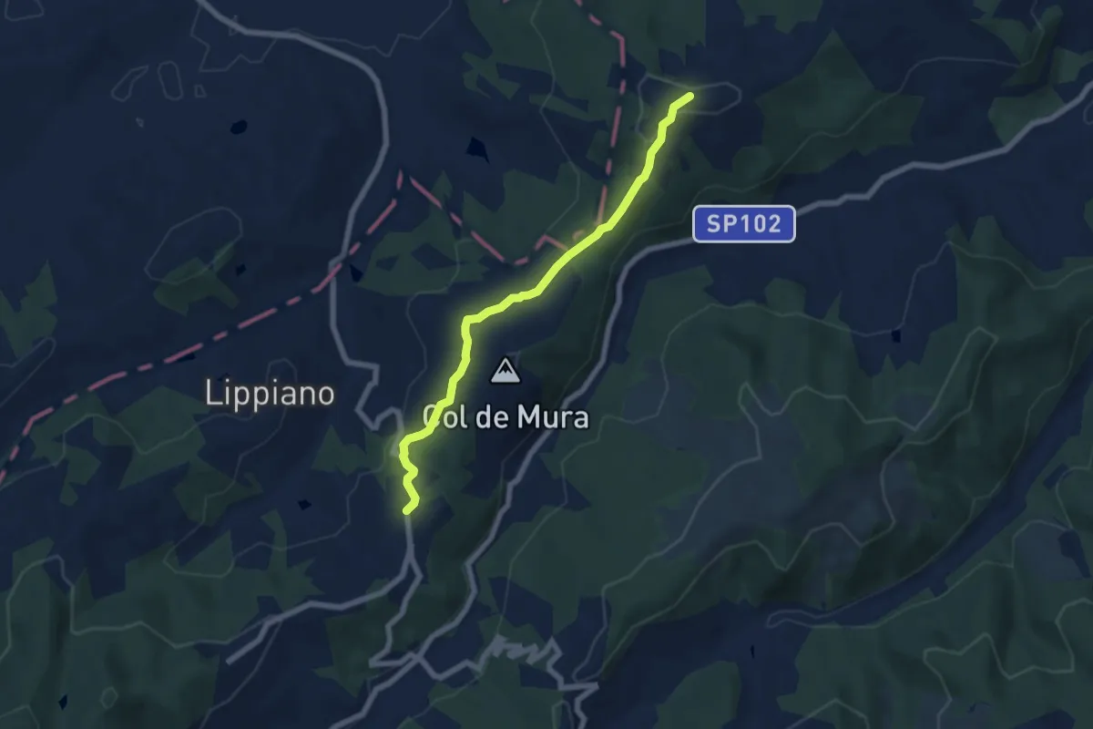
Easy · Trail
Santa Lucia intersezione percorso 153 – Le Burgne innesto Via di Francesco
6.4 km · ↑ 170 m · 1 h 52 min · 10 km away
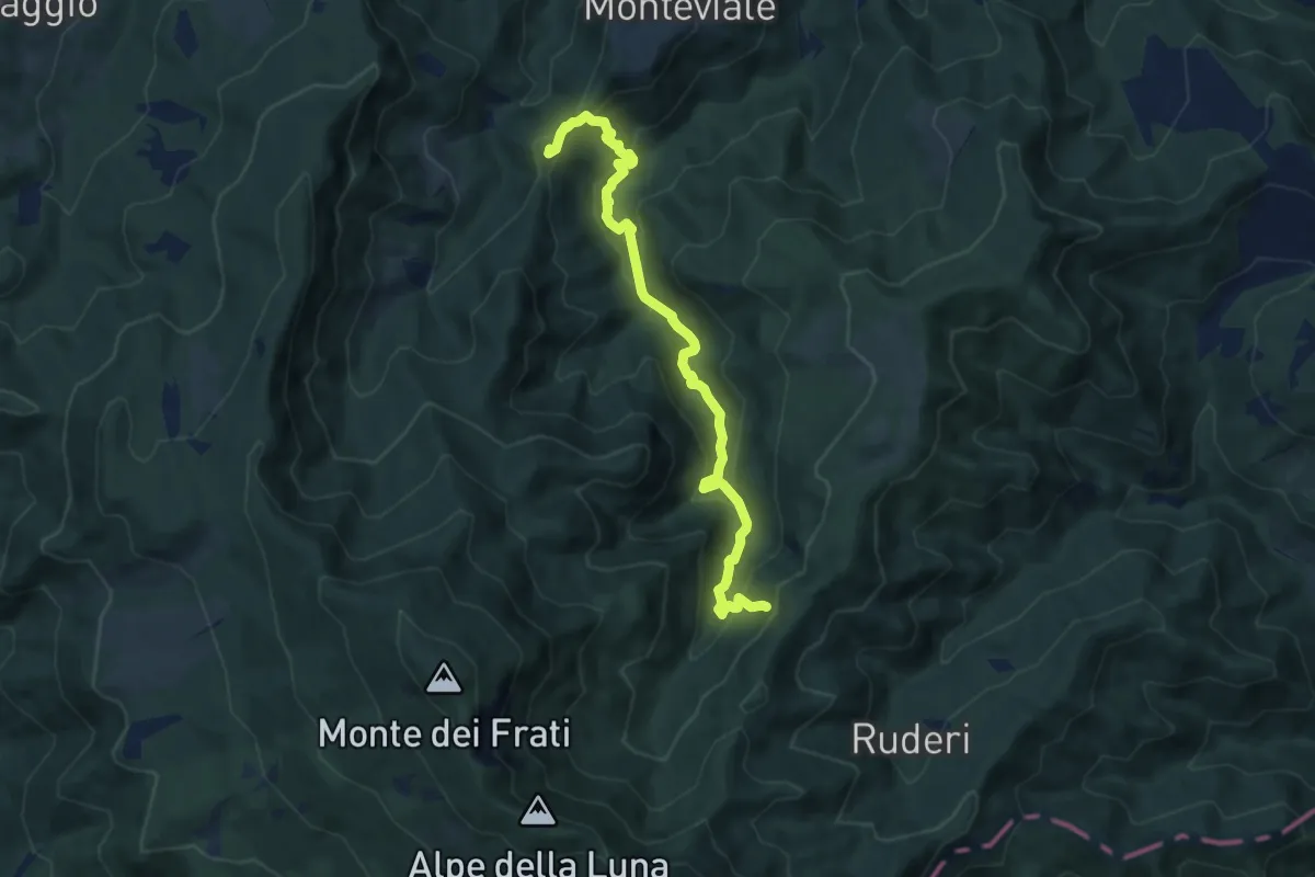
Medium · Summit
Poggio la Piazzola – Innesto sentiero 829
9.0 km · ↑ 476 m · 3 h 10 min · 11 km away
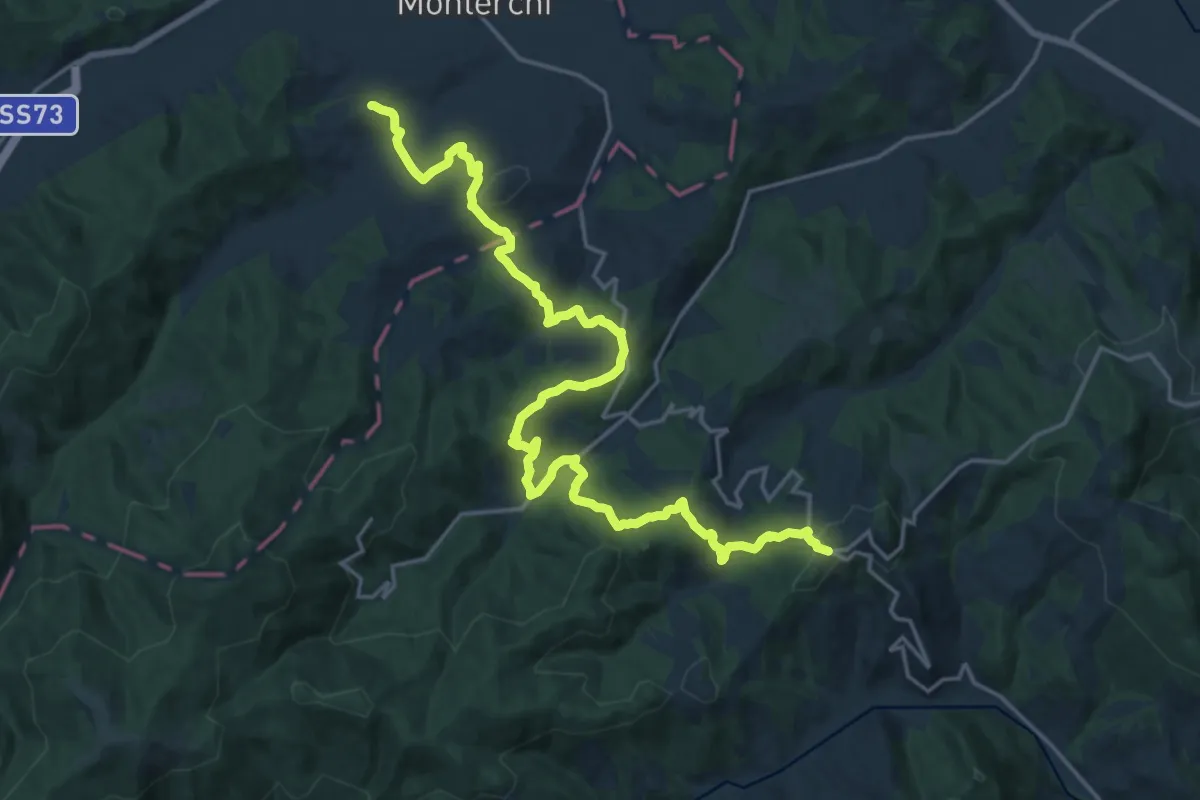
Medium · Trail
Monte Santa Maria Tiberina – Padonchia
12.4 km · ↑ 640 m · 4 h 22 min · 11 km away
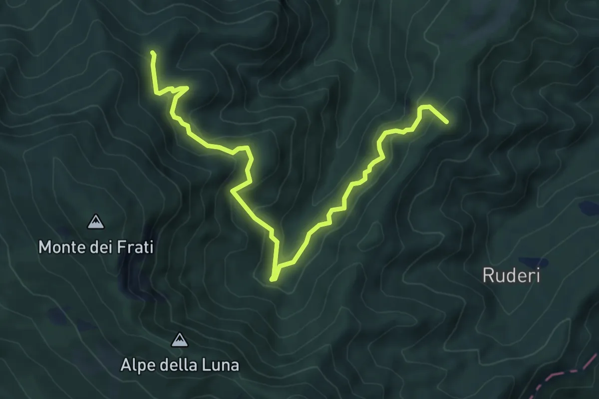
Medium · Summit
Case Il Monte – Poggio delle Ciabattine
8.2 km · ↑ 592 m · 3 h 13 min · 11 km away
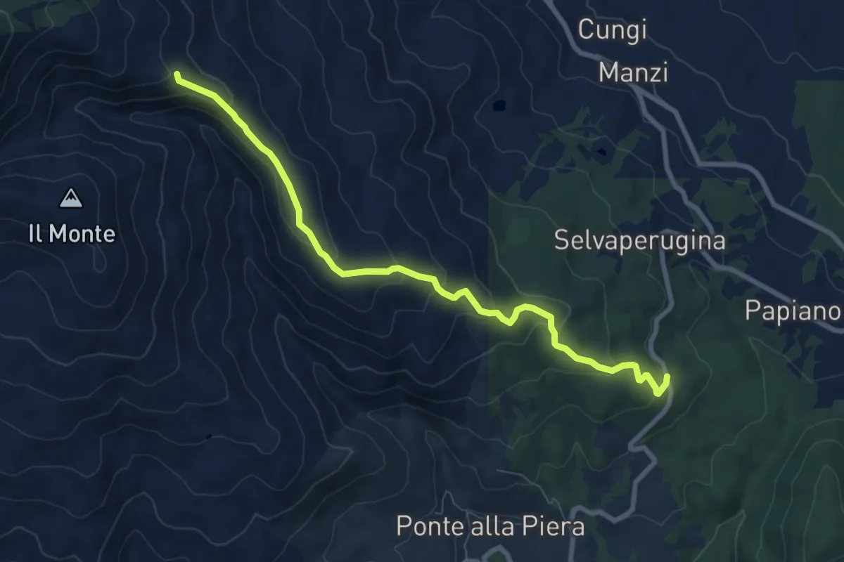
Medium · Summit
Cerreto – Sentiero 012 presso Greppo dei Ciuffi
8.3 km · ↑ 411 m · 2 h 52 min · 11 km away
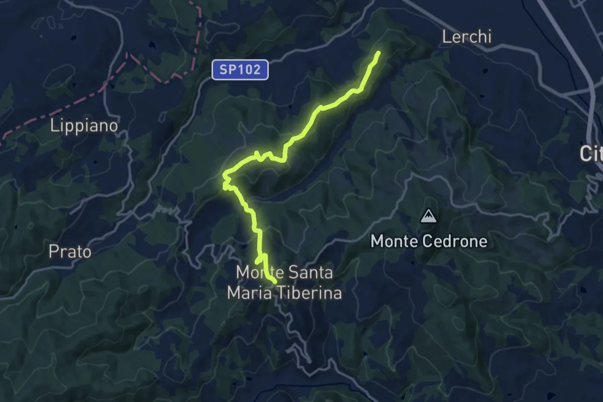
Medium · Trail
Monte Santa Maria Tiberina – Innesto Via di Francesco
13.4 km · ↑ 595 m · 4 h 27 min · 11 km away
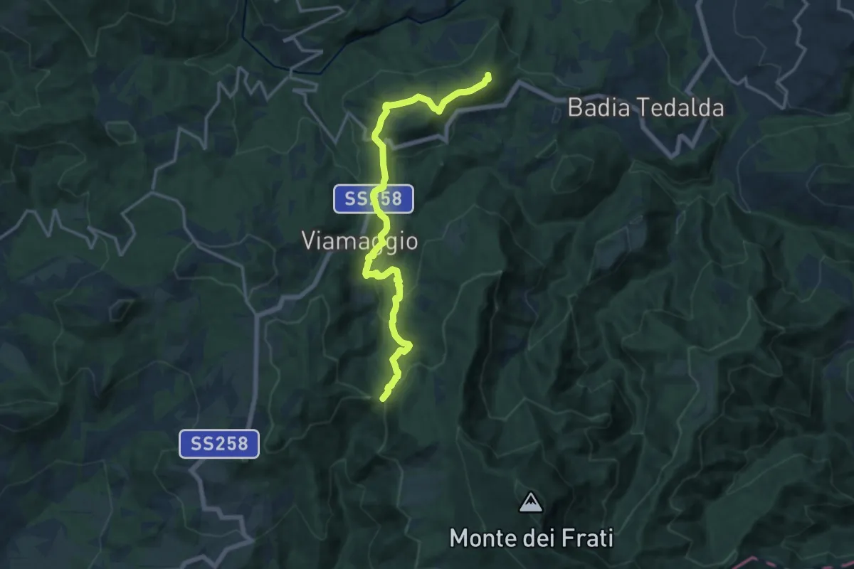
Demanding · Summit
Badia Tedalda – Poggio delle Coste
15.0 km · ↑ 608 m · 4 h 52 min · 11 km away
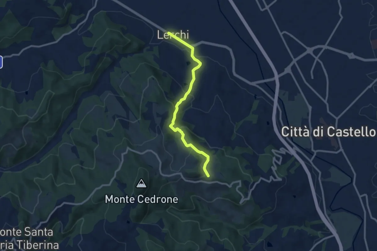
Medium · Trail
Lerchi – Intersezione percorso 150
8.2 km · ↑ 419 m · 2 h 50 min · 12 km away
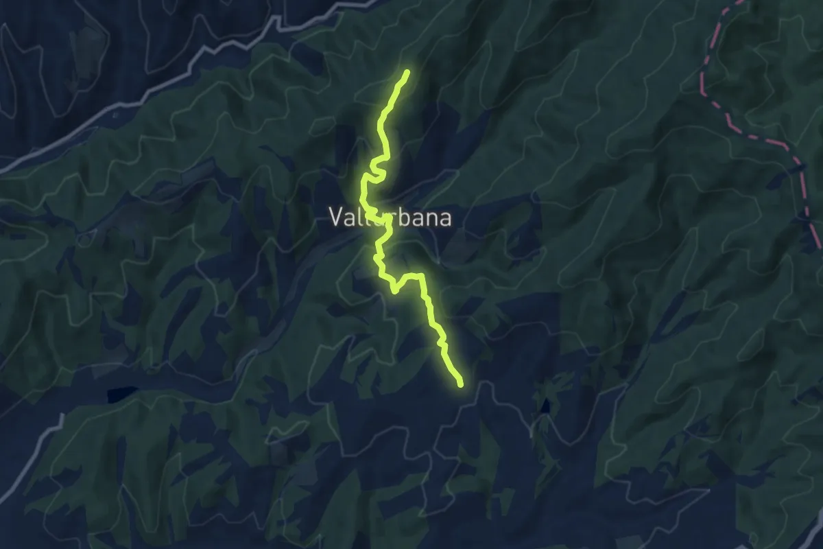
Medium · Trail
Intersezione percorso 106 – Intersezione percorso 133
8.3 km · ↑ 418 m · 2 h 52 min · 12 km away
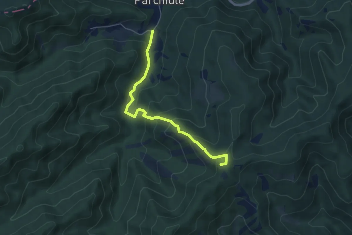
Demanding · Summit
Sentiero 385 (Poggio della Biforca) – Sentiero 390 (Parchiule)
4.9 km · ↑ 338 m · 1 h 53 min · 12 km away
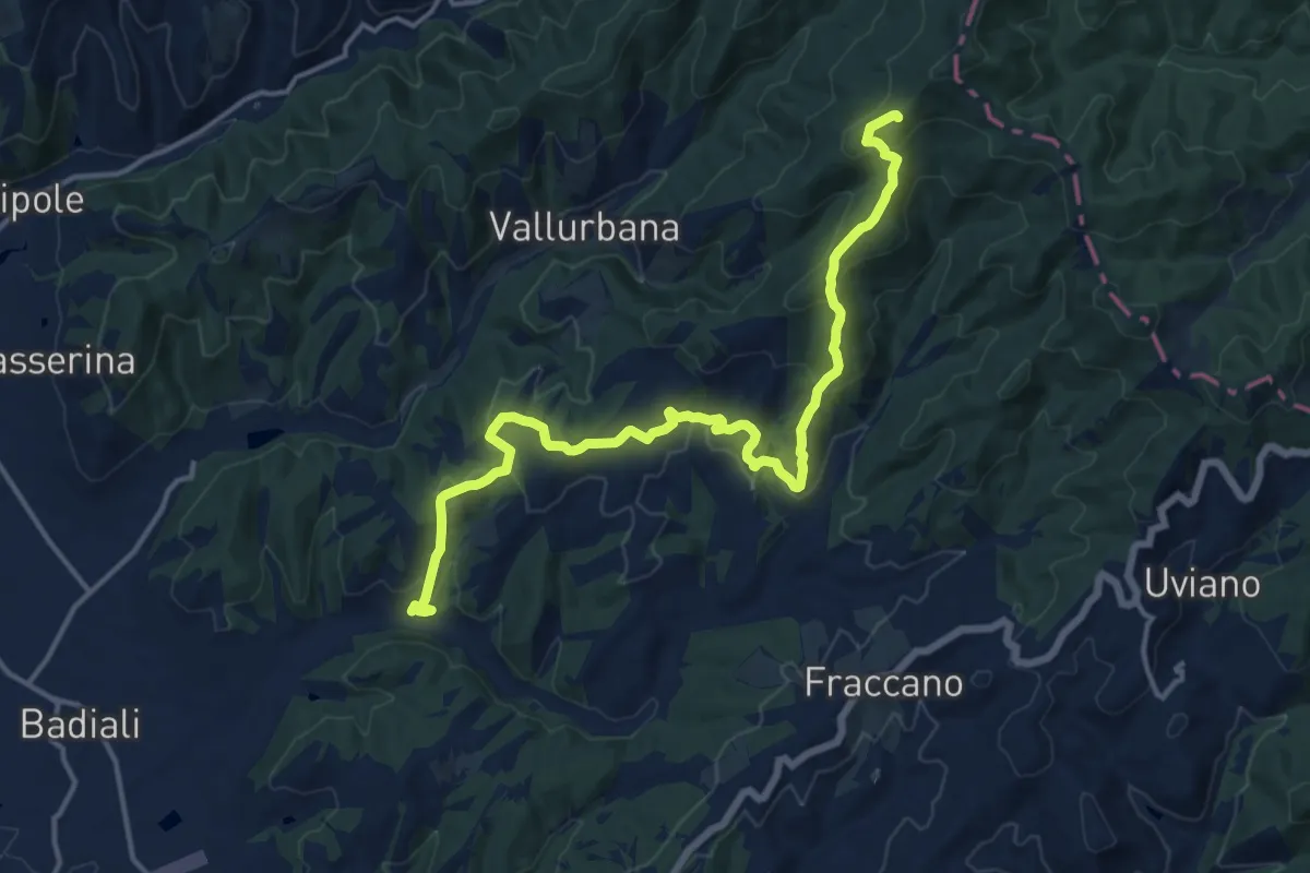
Demanding · Summit
Fiume – Intersezione Sentiero Italia
17.1 km · ↑ 640 m · 5 h 25 min · 12 km away
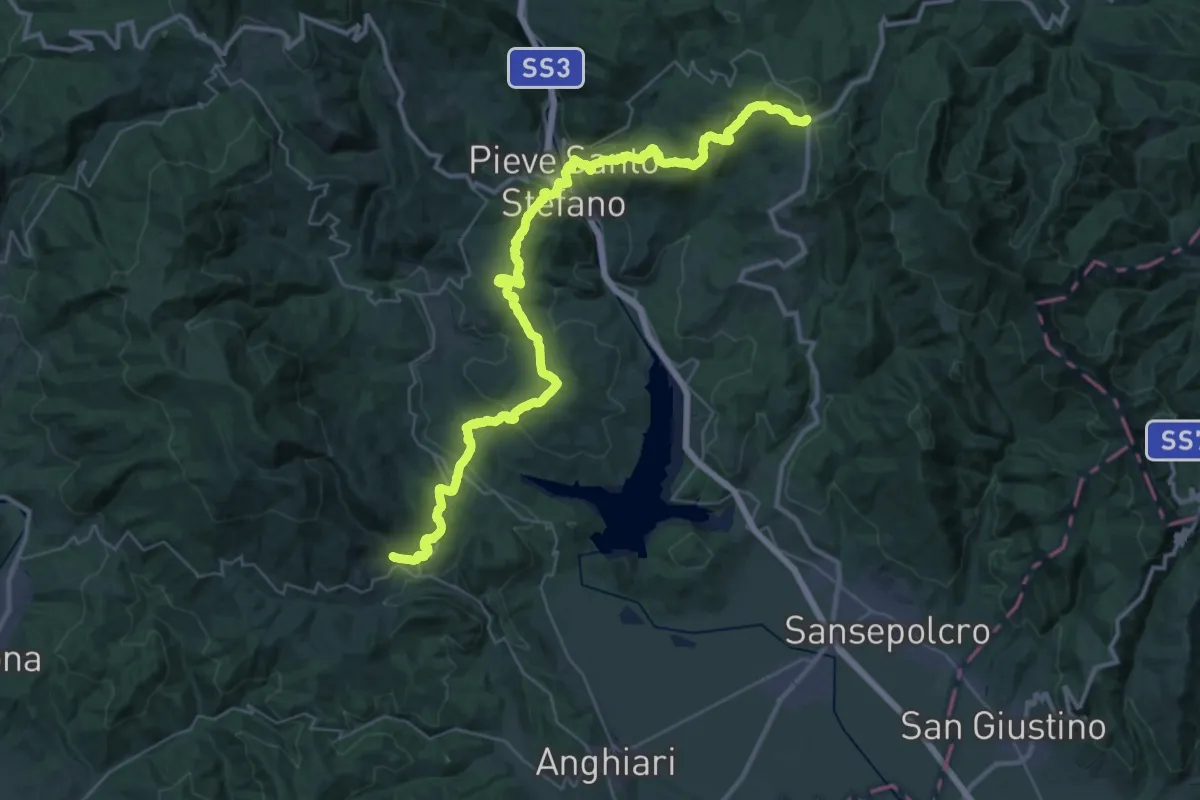
Demanding · Trail
Viamaggio – Ponte alla Piera
24.4 km · ↑ 1184 m · 8 h 27 min · 12 km away
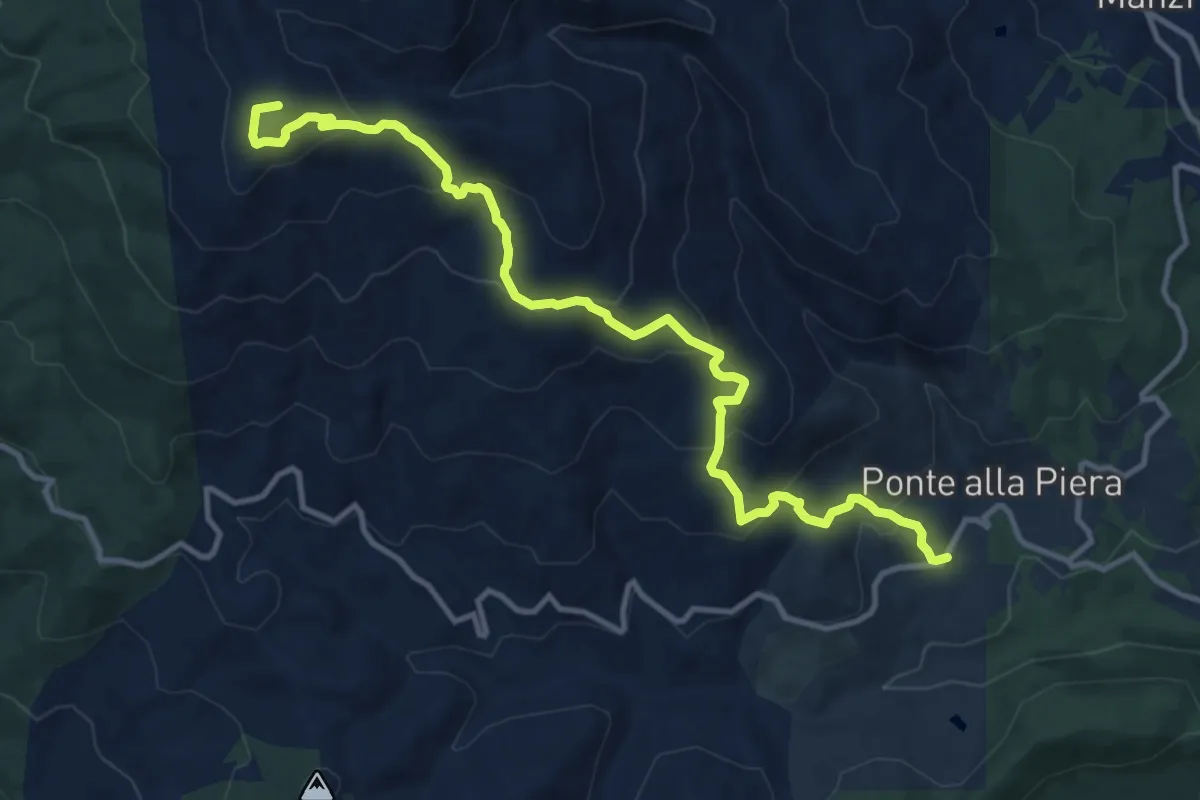
Medium · Summit
Sentiero 10/A presso Ponte alla Piera – Sentiero 50 sotto M. Filetto
13.7 km · ↑ 789 m · 4 h 56 min · 12 km away
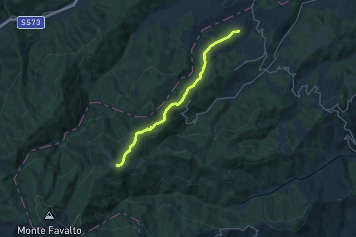
Medium · Summit
Lippiano – Osteria
14.0 km · ↑ 599 m · 4 h 37 min · 12 km away
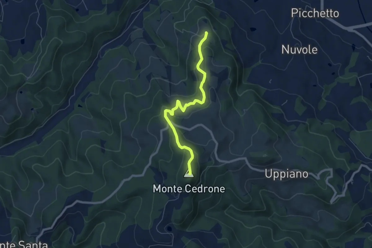
Easy · Summit
Varzo – La Dogana intersezione percorso 150
6.1 km · ↑ 259 m · 2 h 1 min · 12 km away
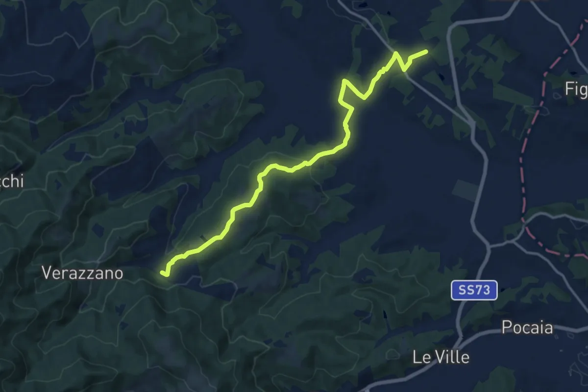
Medium · Trail
Toppole – Anghiari
13.9 km · ↑ 417 m · 4 h 12 min · 12 km away
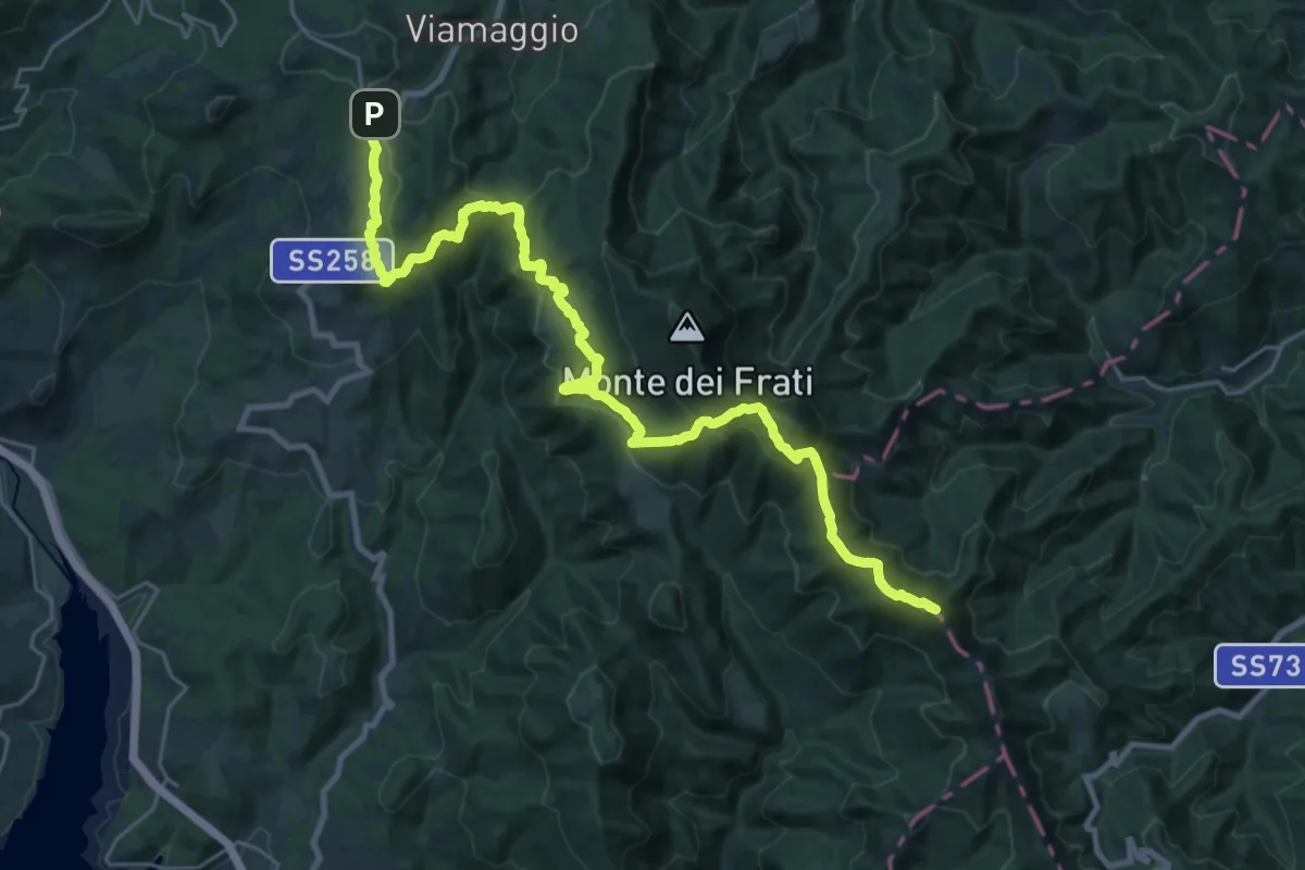
Demanding · Summit
E1 Toscana 22 Passo di Viamaggio - Passo di Bocca Trabaria
30.4 km · ↑ 1346 m · 10 h 6 min · 13 km away