Trails near Sant'Agnello
70 hikes starting within 15 km, nearest first.
Nearest first, page 2 of 2
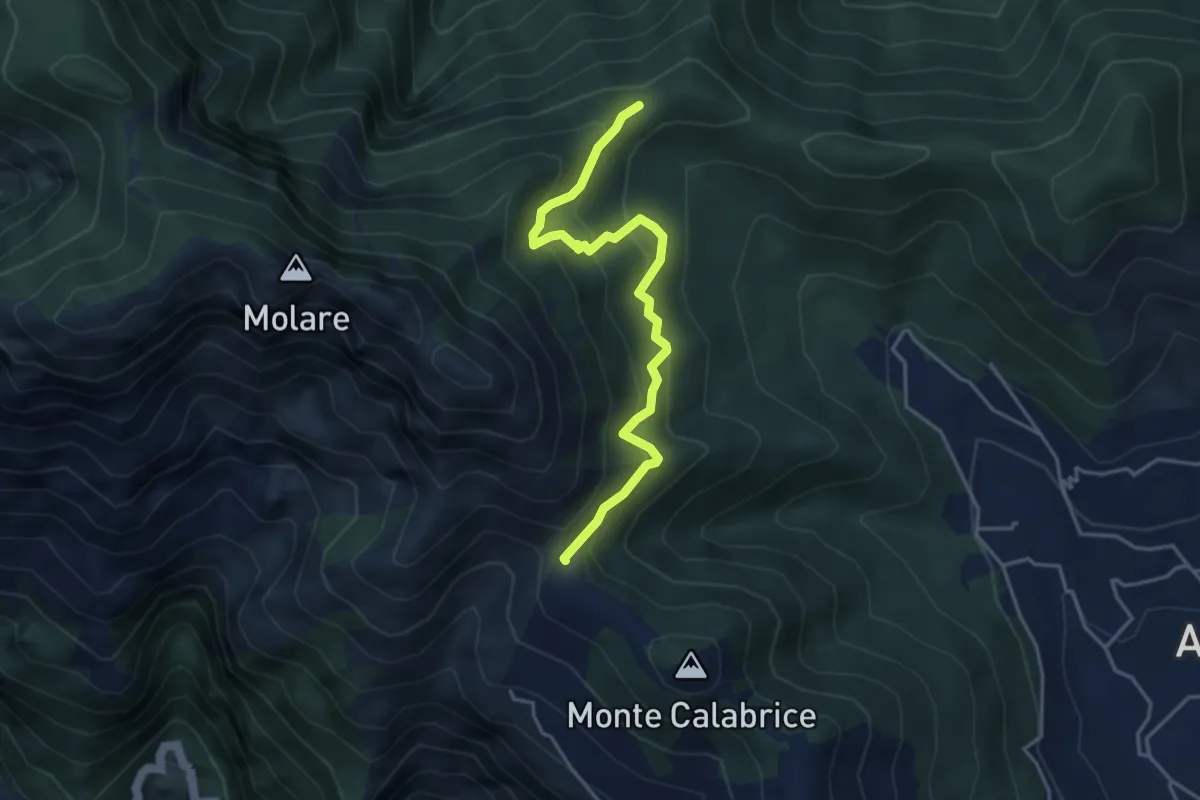
Medium · Summit
Capo Muro – Incrocio 300 Colle Garofalo
4.5 km · ↑ 476 m · 2 h 6 min · 10 km away
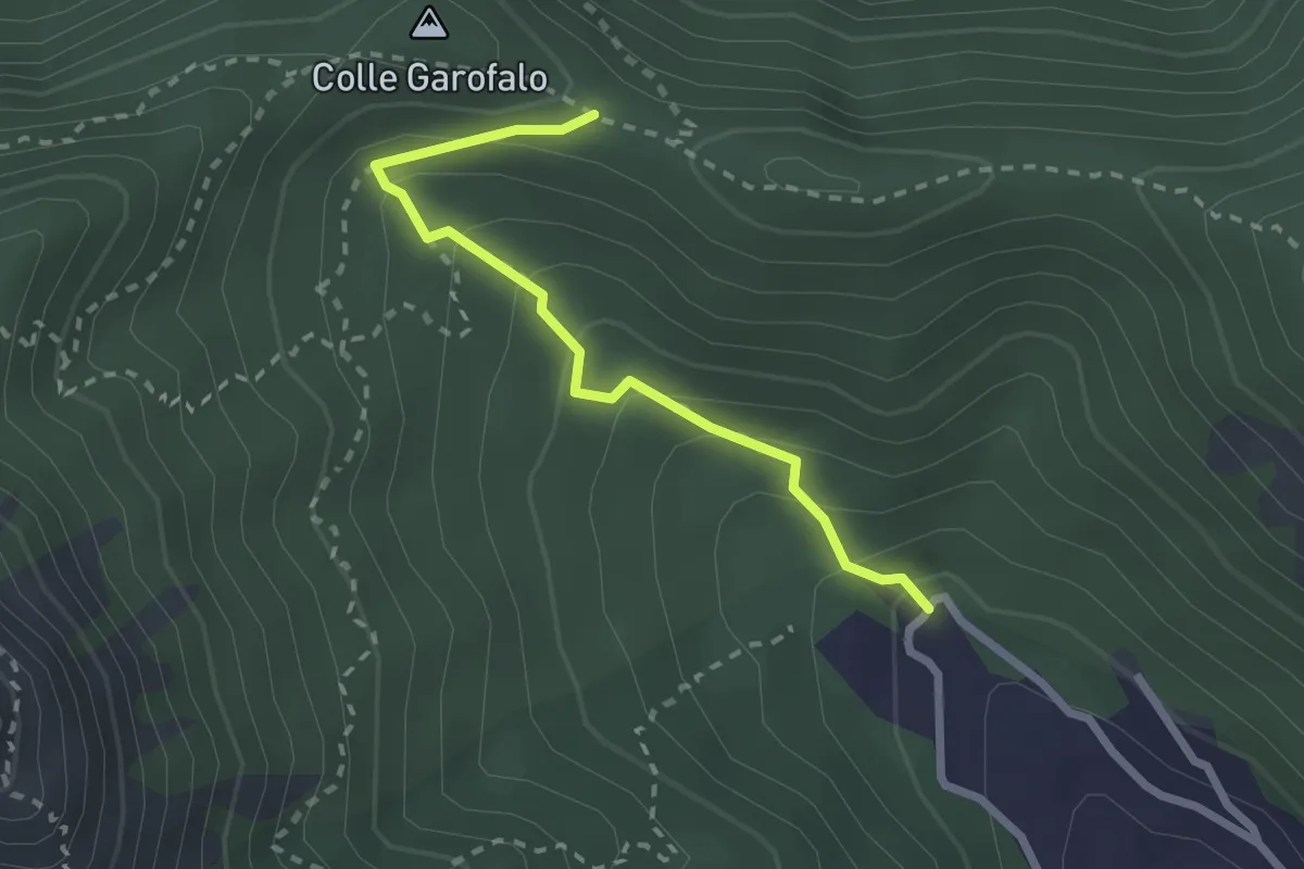
Medium · Trail
Mattatoio di Agerola – Crocella
2.6 km · ↑ 189 m · 1 h 1 min · 11 km away
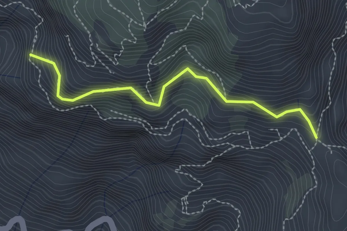
Medium · Trail
Variante alta del Sentiero degli Dei
2.6 km · ↑ 406 m · 1 h 29 min · 11 km away
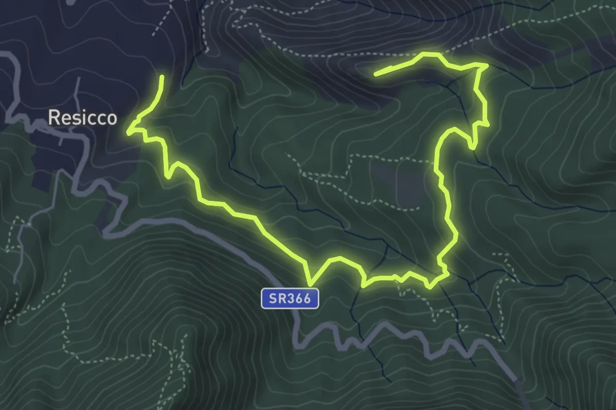
Medium · Summit
Sentiero Zappino
8.3 km · ↑ 441 m · 2 h 55 min · 11 km away
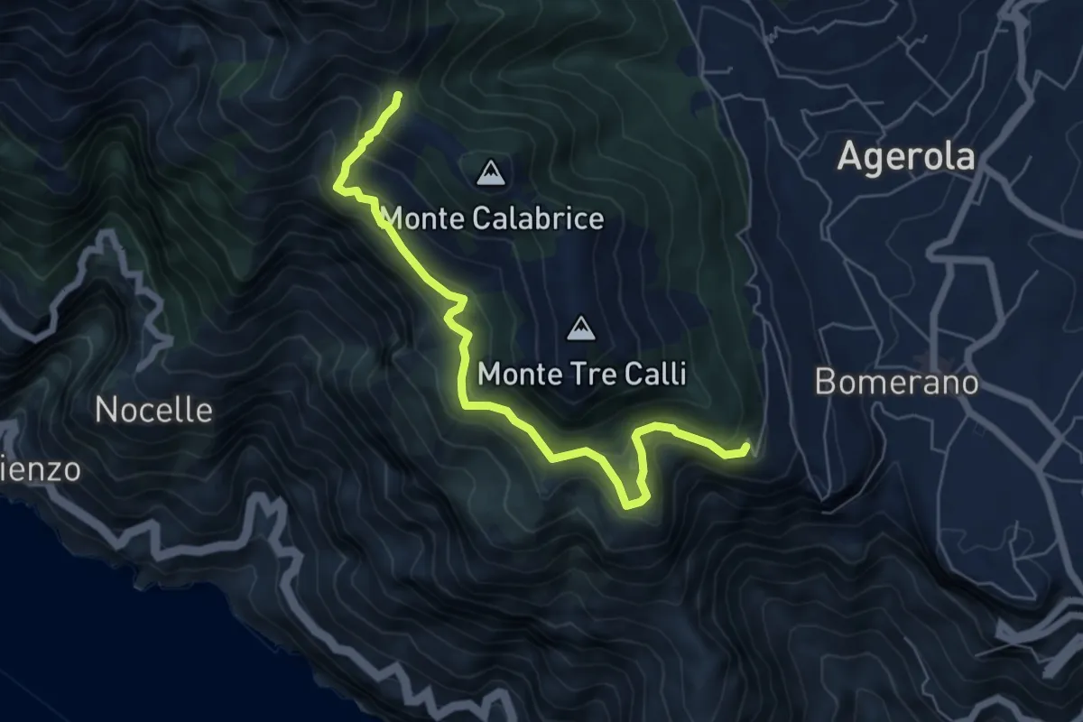
Medium · Summit
Via Paipo (Bomerano) – Capo Muro
6.7 km · ↑ 444 m · 2 h 33 min · 11 km away
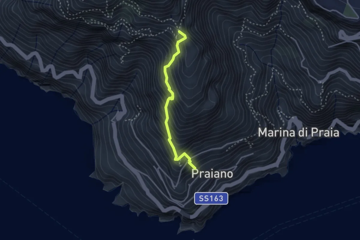
Medium · Trail
Praiano – Il Pinnacolo
2.9 km · ↑ 372 m · 1 h 30 min · 11 km away
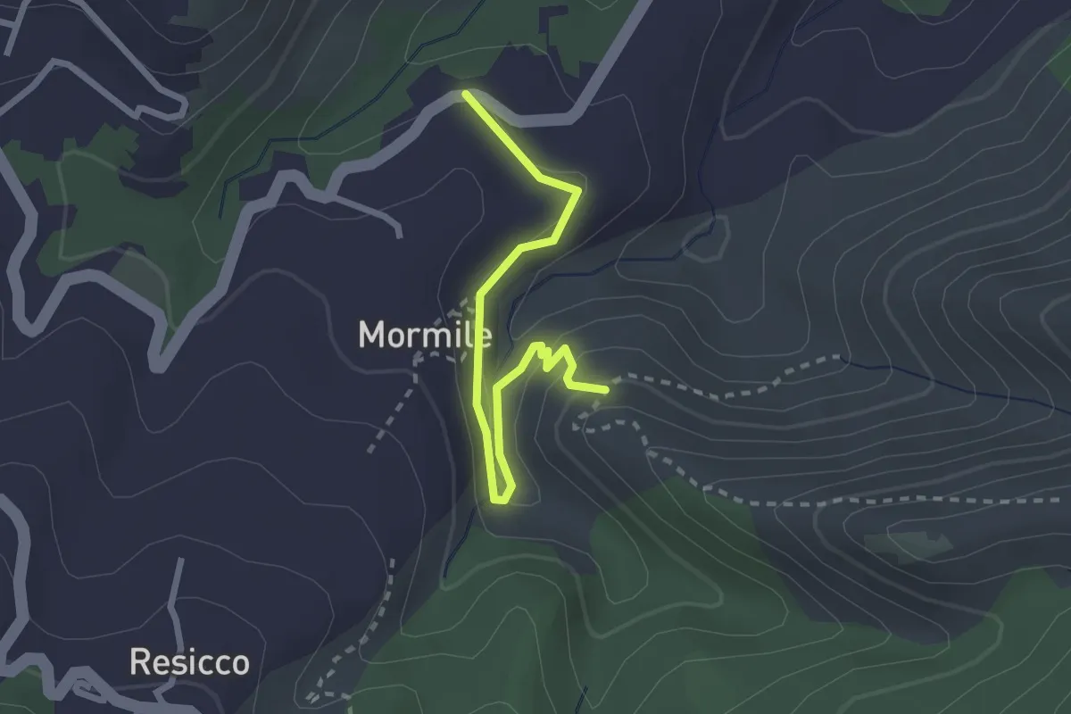
Medium · Trail
Sentiero della Valle Lavatoio
2.7 km · ↑ 121 m · 54 min · 12 km away
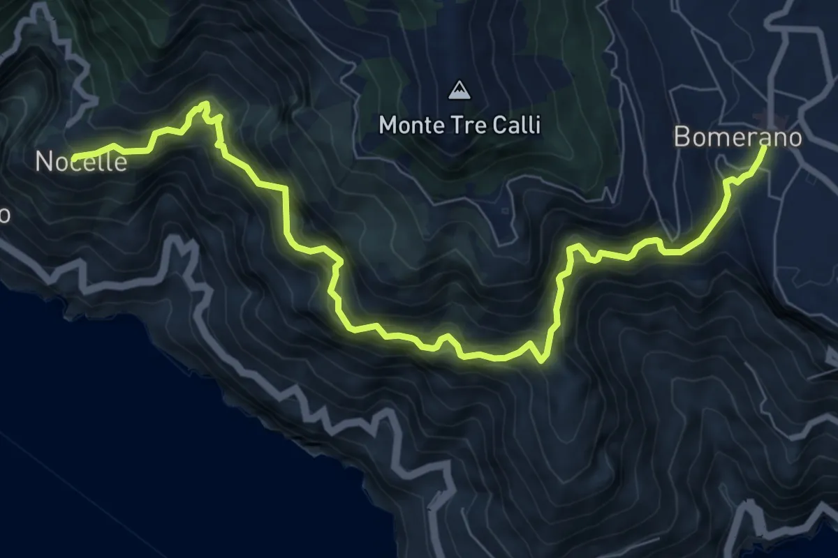
Demanding · Trail
Sentiero degli Dei
10.2 km · ↑ 1247 m · 5 h 6 min · 12 km away
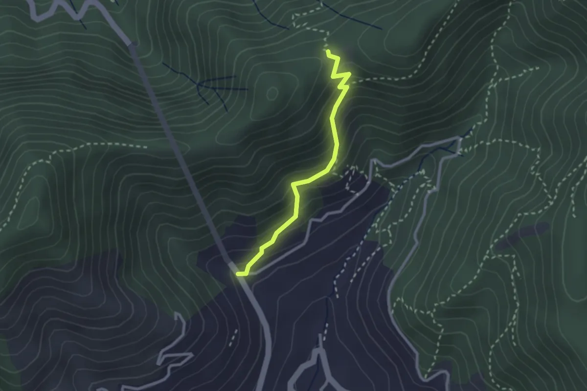
Medium · Trail
Le Palommelle
2.5 km · ↑ 211 m · 1 h 2 min · 13 km away
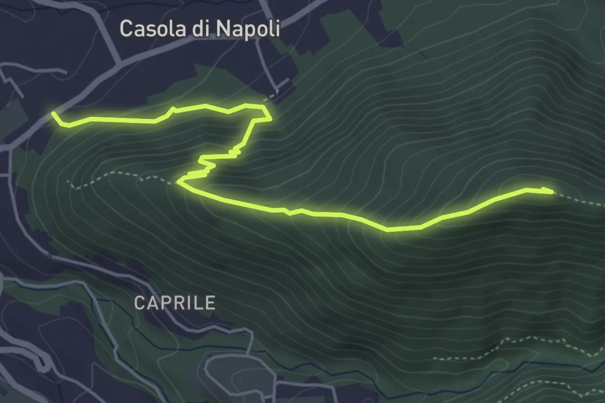
Medium · Summit
Sentiero di Monte Muto
5.9 km · ↑ 486 m · 2 h 27 min · 13 km away
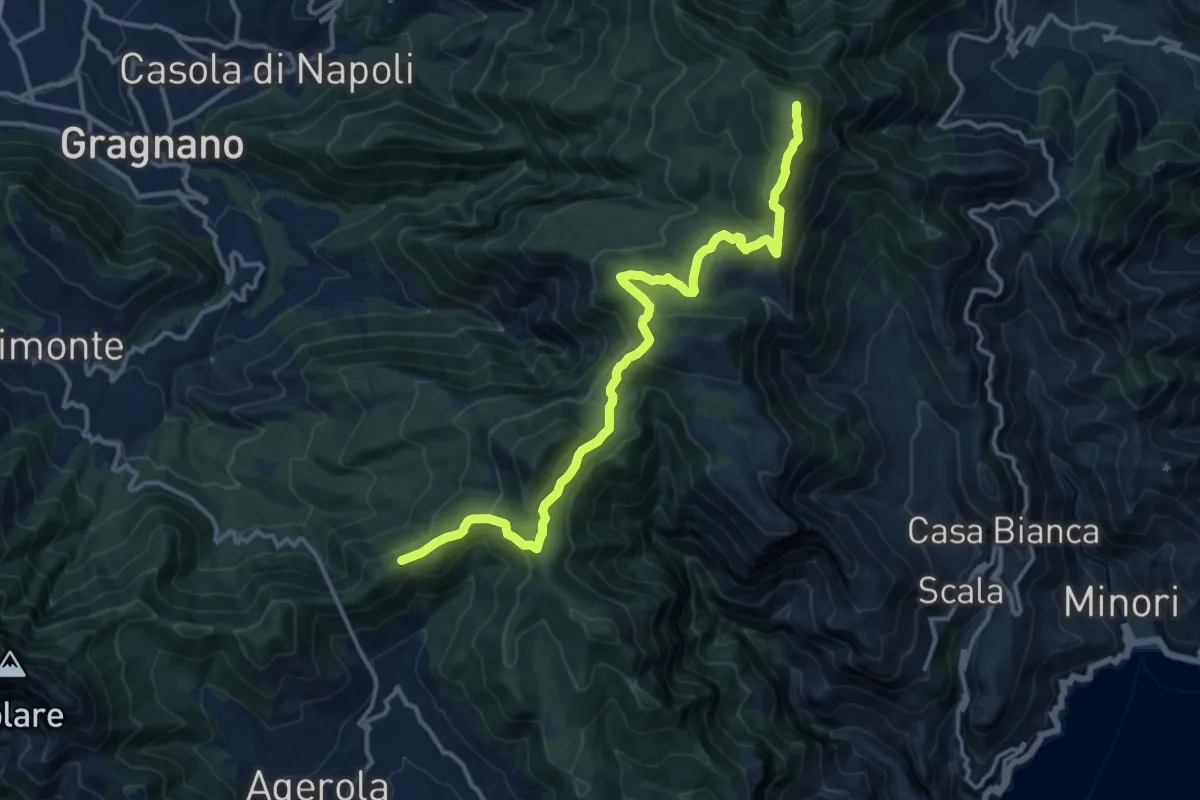
Medium · Summit
Alta Via dei Monti Lattari - 05
16.1 km · ↑ 638 m · 5 h 11 min · 13 km away
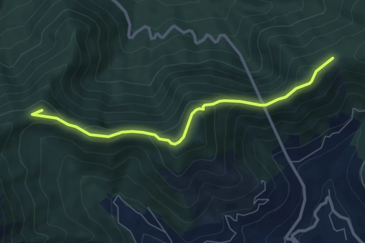
Demanding · Summit
Alta Via dei Monti Lattari - 06
6.0 km · ↑ 384 m · 2 h 15 min · 13 km away
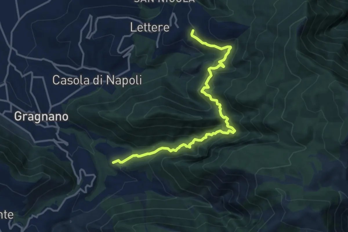
Demanding · Trail
Sentiero della Valle del Pericolo
12.2 km · ↑ 974 m · 4 h 59 min · 13 km away
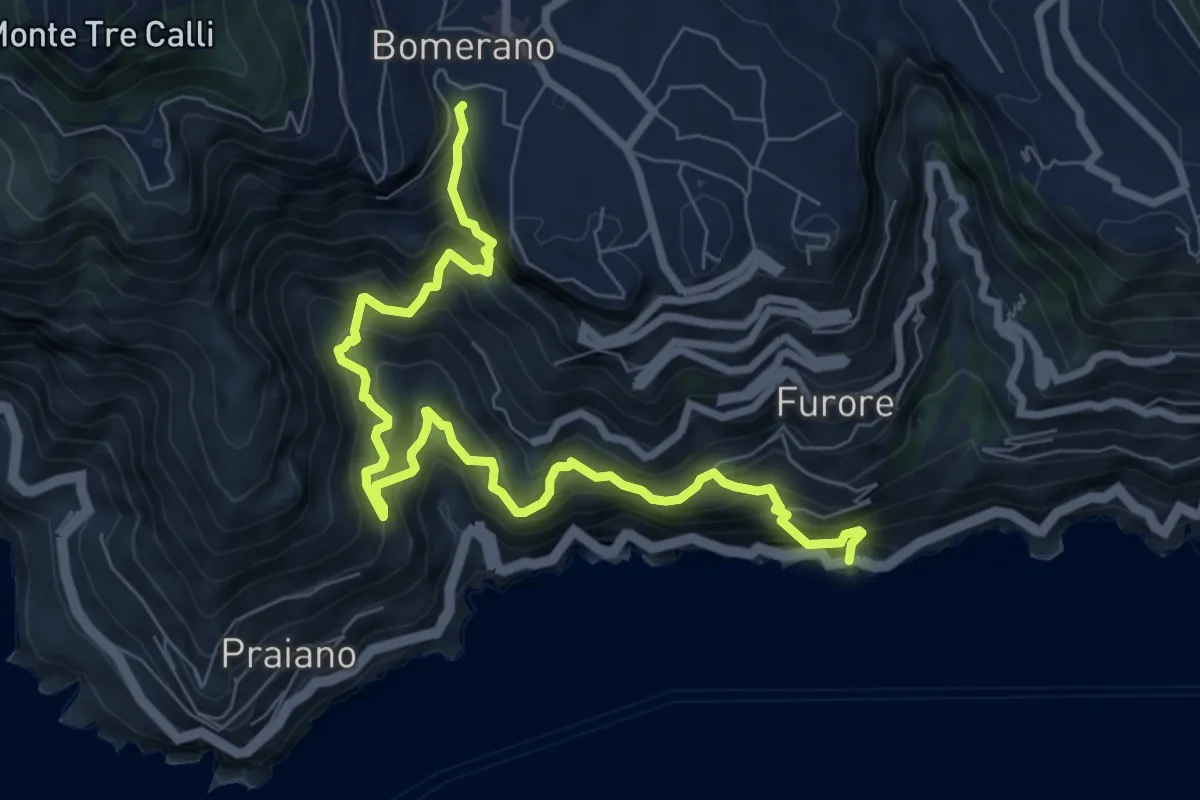
Demanding · Trail
Fiordo di Furore – Bomerano
9.8 km · ↑ 1335 m · 5 h 12 min · 13 km away
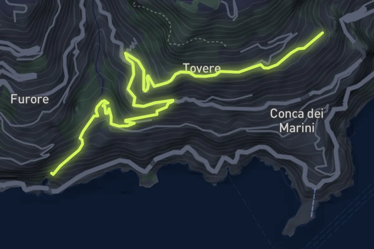
Medium · Trail
Sentiero dei Pipistrelli Impazziti
7.2 km · ↑ 523 m · 2 h 50 min · 13 km away
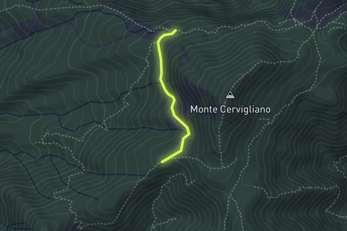
Medium · Trail
Sentiero delle sorgenti
2.6 km · ↑ 120 m · 53 min · 14 km away
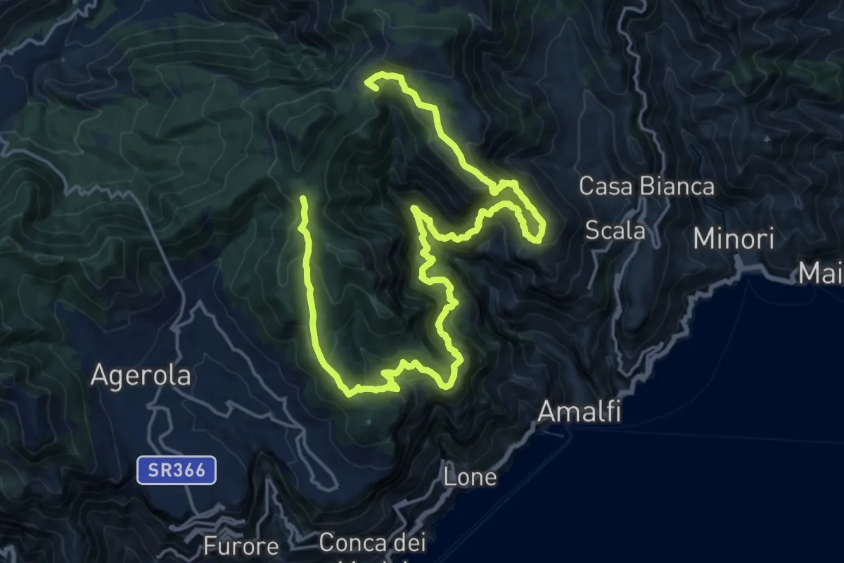
Demanding · Summit
Sentiero alto della Valle delle Ferriere
27.7 km · ↑ 2378 m · 11 h 42 min · 14 km away
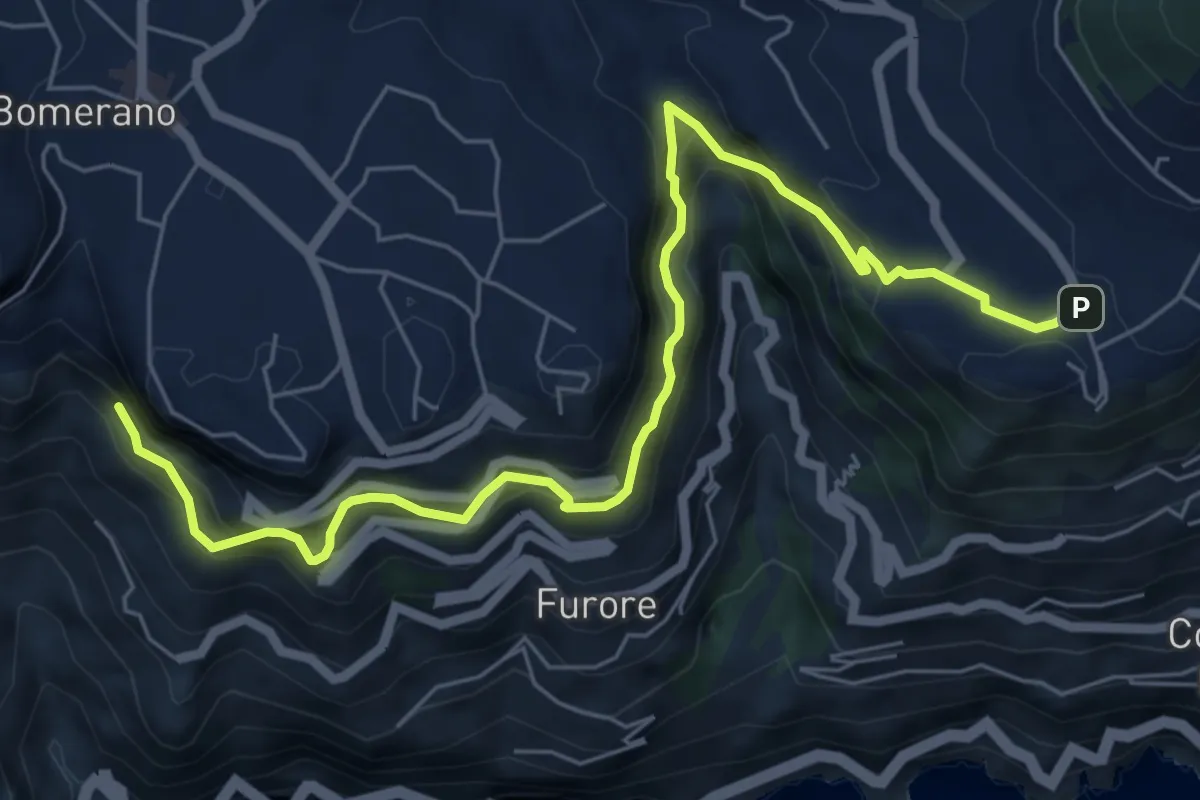
Medium · Trail
Sentiero di Abu Tabela
8.2 km · ↑ 718 m · 3 h 29 min · 14 km away
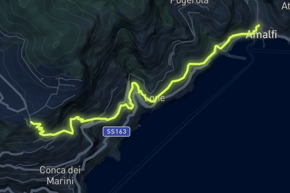
Demanding · Trail
Via Maestra dei Villaggi
9.4 km · ↑ 1077 m · 4 h 33 min · 14 km away
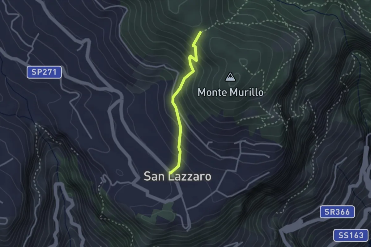
Medium · Trail
S.Lazzaro Piazza Avitabile – Incrocio 301 Monte
2.4 km · ↑ 226 m · 1 h 3 min · 15 km away
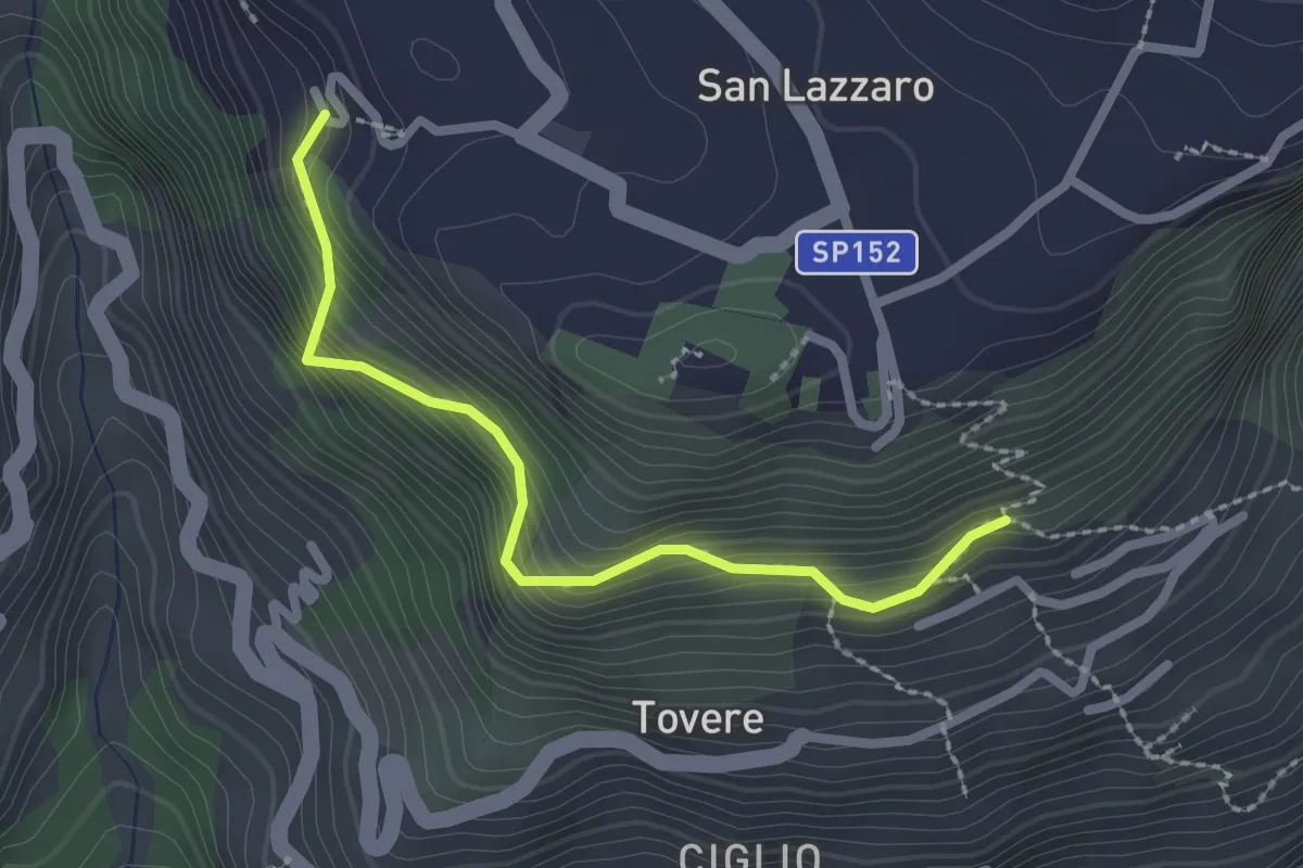
Medium · Trail
San Lazzaro (Agerola) - Incrocio 361 – Incrocio 354a
2.5 km · ↑ 312 m · 1 h 16 min · 15 km away
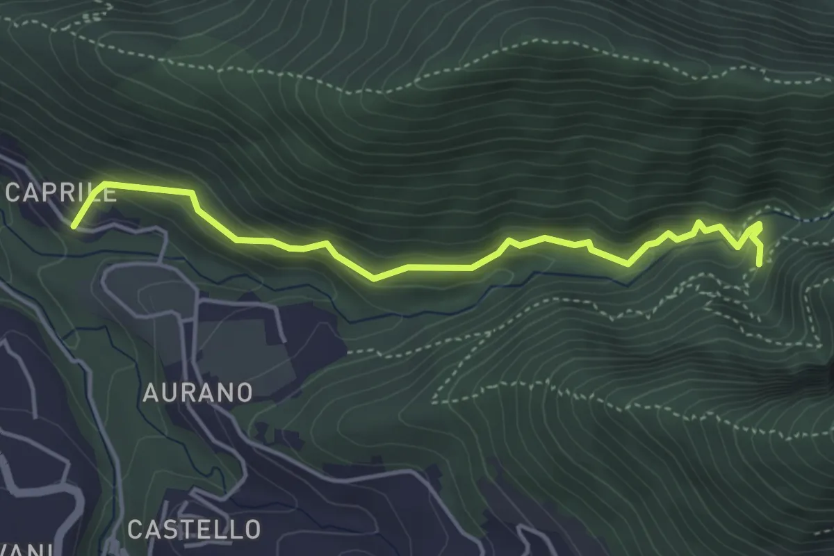
Medium · Trail
Il Butto dell'Acqua
4.5 km · ↑ 282 m · 1 h 41 min · 15 km away