Trails near Sant'Ilario d'Enza
28 hikes starting within 15 km, nearest first.
Nearest first
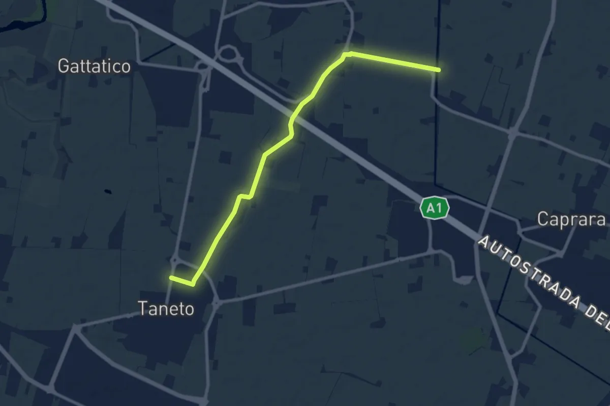
Medium · Trail
Pedriola Nuova – Taneto
8.6 km · ↑ 16 m · 2 h 3 min · 2 km away
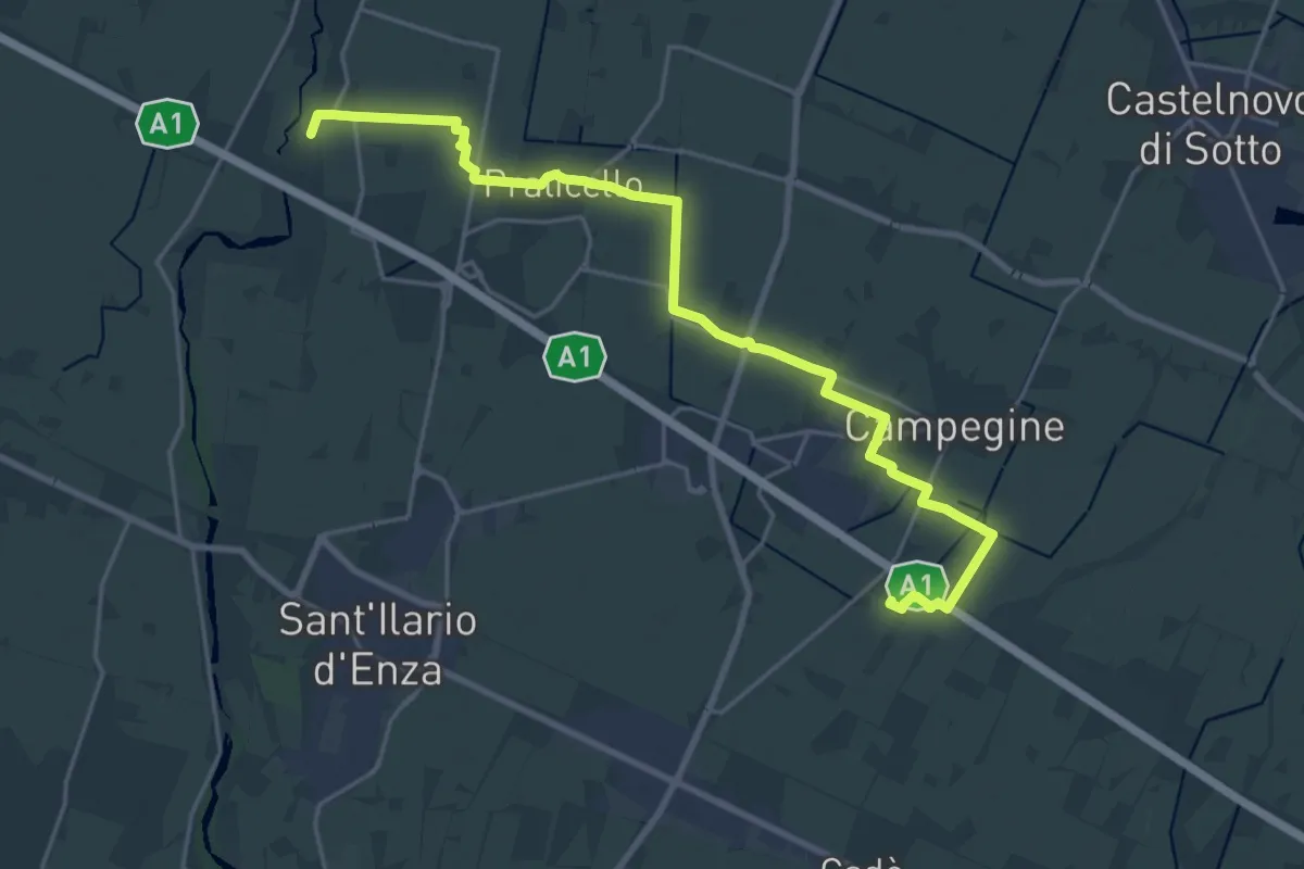
Demanding · Trail
Corte Valle Re – Percorso 672
25.6 km · ↑ 21 m · 6 h 5 min · 6 km away
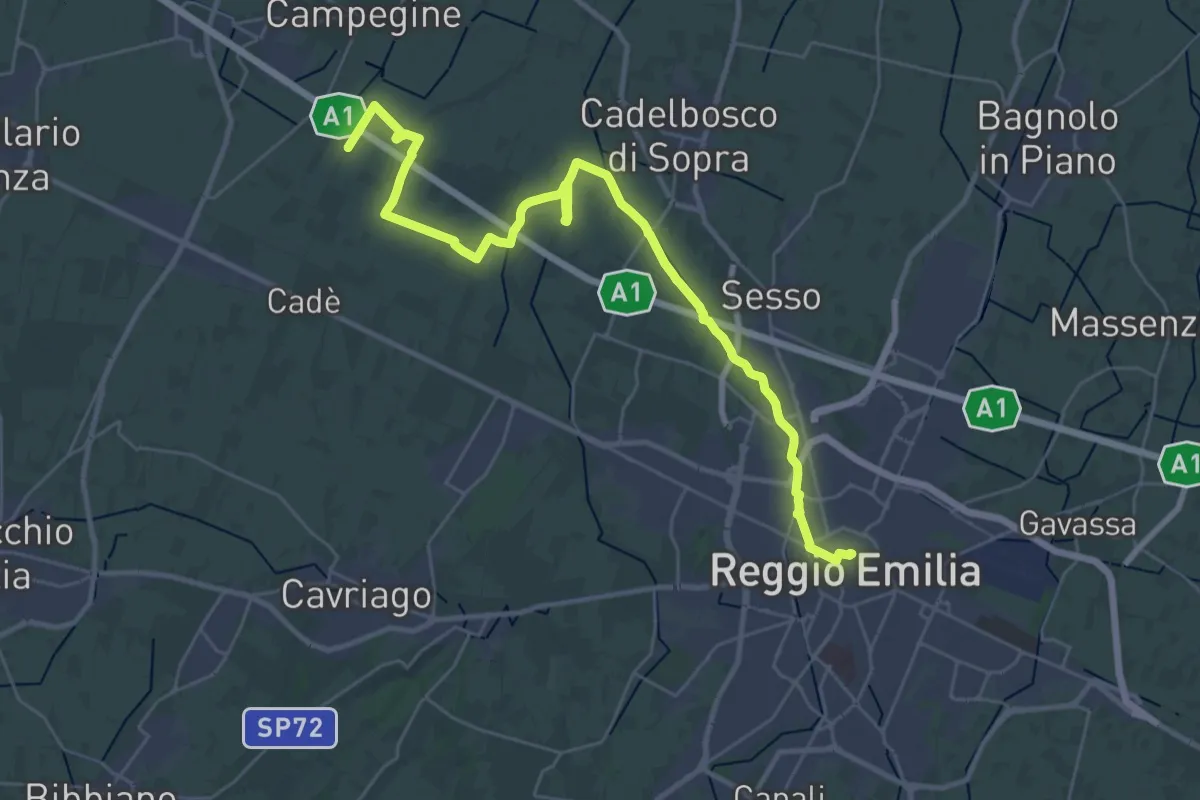
Demanding · Trail
Reggio Emilia – Valle Re
18.2 km · ↑ 33 m · 4 h 37 min · 6 km away
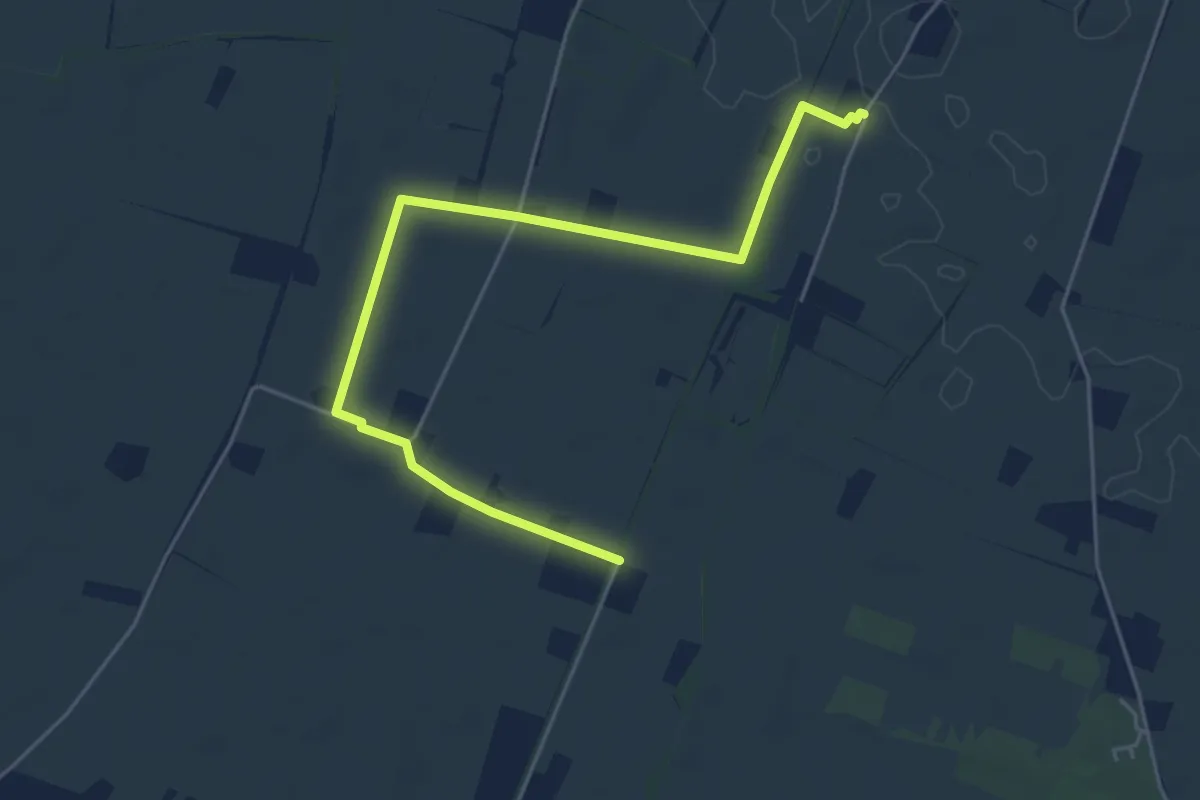
Easy · Trail
Località Il Castello – Bivio Via Villa Chiara 620C
5.8 km · ↑ 8 m · 1 h 24 min · 6 km away
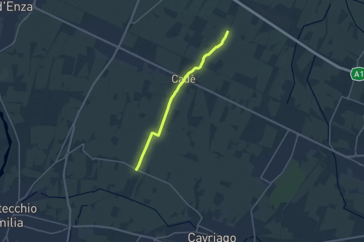
Medium · Trail
Reggiolo-Paverazzi
10.9 km · ↑ 34 m · 2 h 40 min · 6 km away
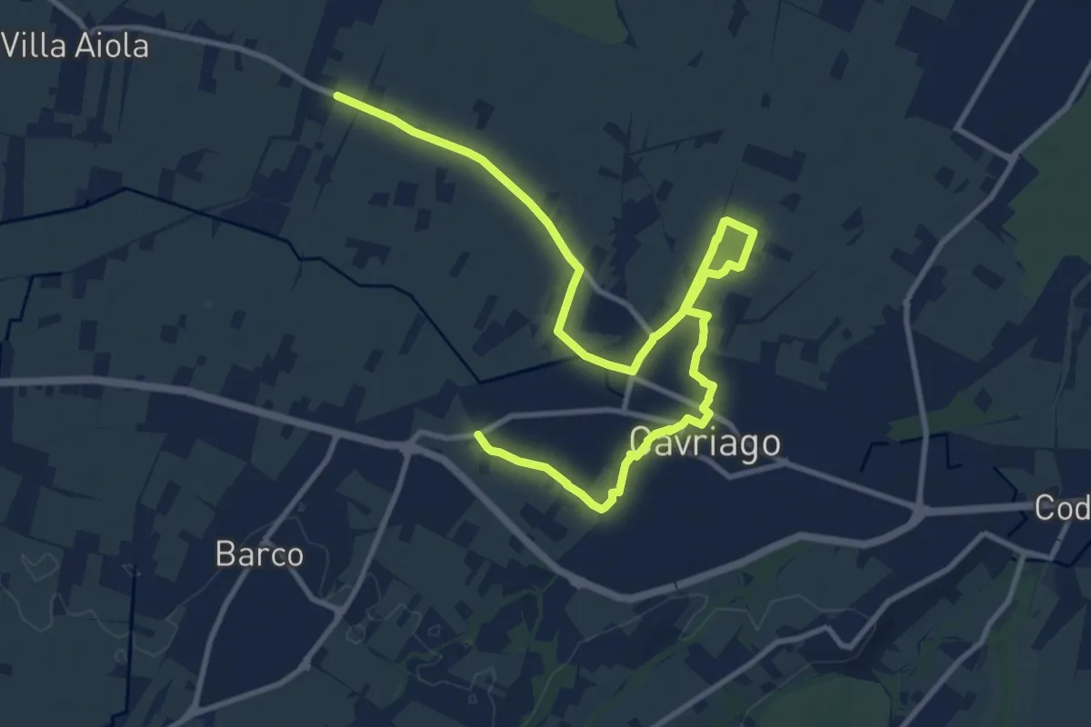
Medium · Trail
Paverazzi – Strada Barboiara
15.0 km · ↑ 53 m · 3 h 39 min · 7 km away
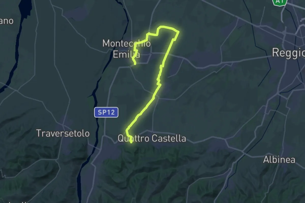
Medium · Trail
Monastero di Montefalcone – Montecchio
17.9 km · ↑ 119 m · 4 h 41 min · 8 km away
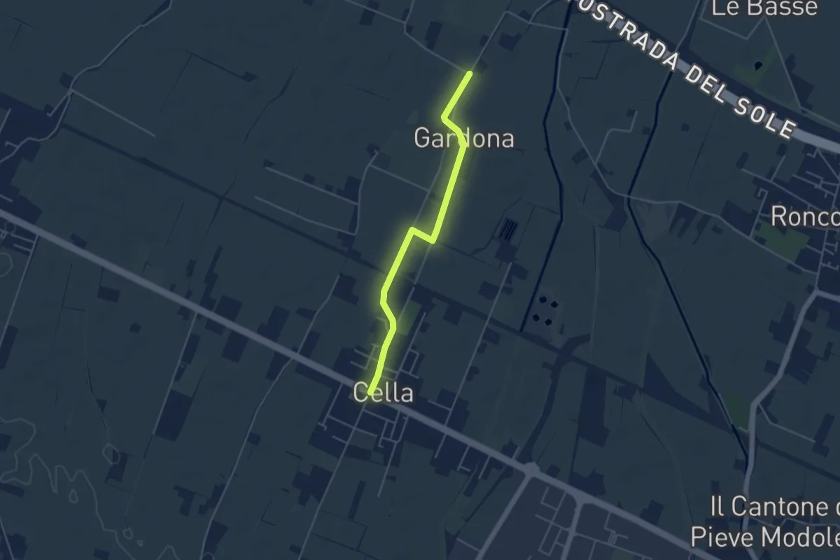
Easy · Trail
Gallana Grande – Cella
4.4 km · ↑ 8 m · 1 h 3 min · 8 km away
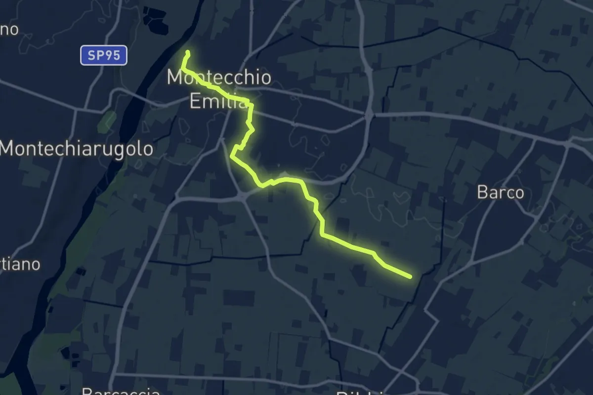
Medium · Trail
Fossa Barco – Percorso 672
10.9 km · ↑ 21 m · 2 h 37 min · 9 km away
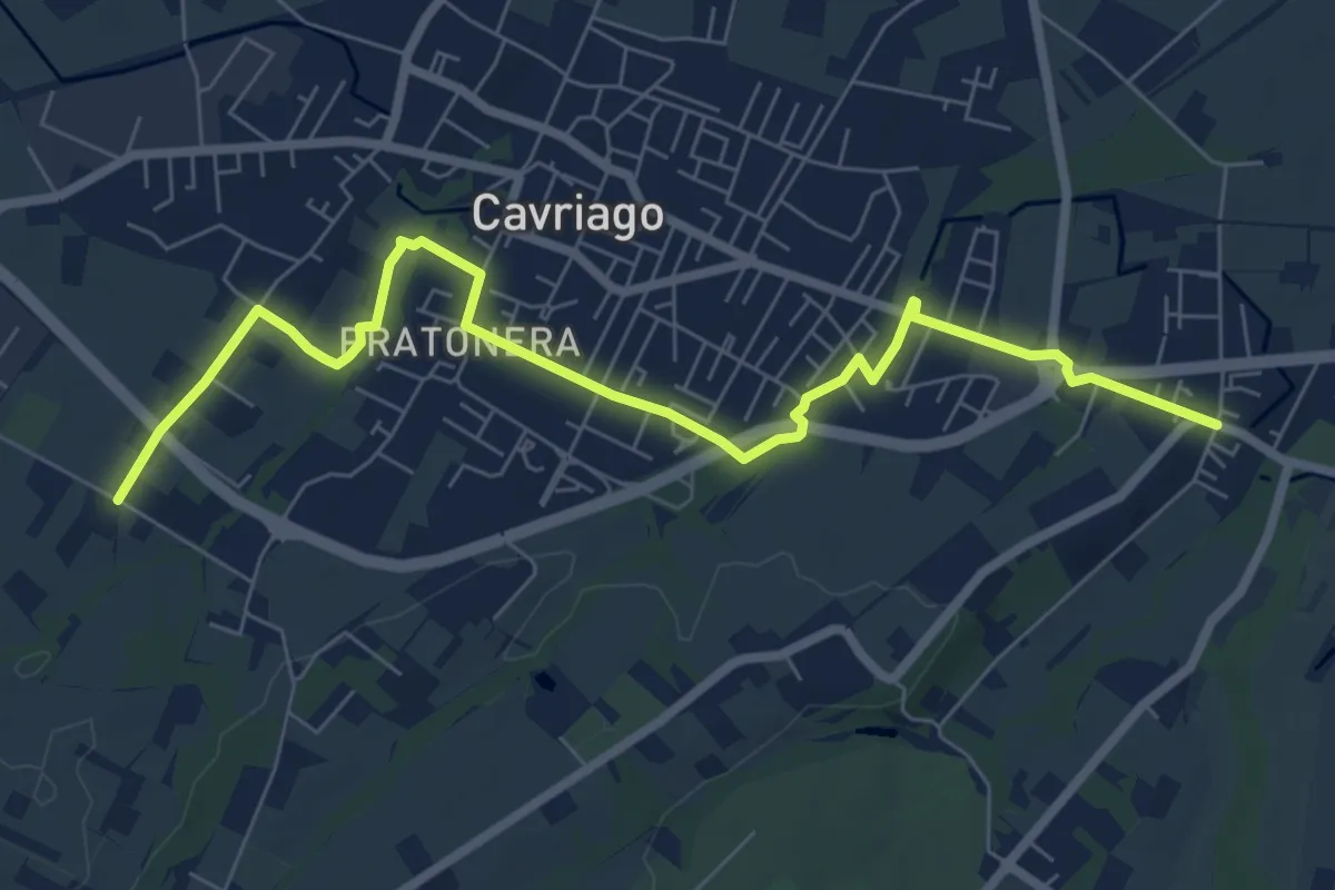
Medium · Trail
Quaresimo – Chiesa San Giovanni
8.4 km · ↑ 49 m · 2 h 5 min · 9 km away
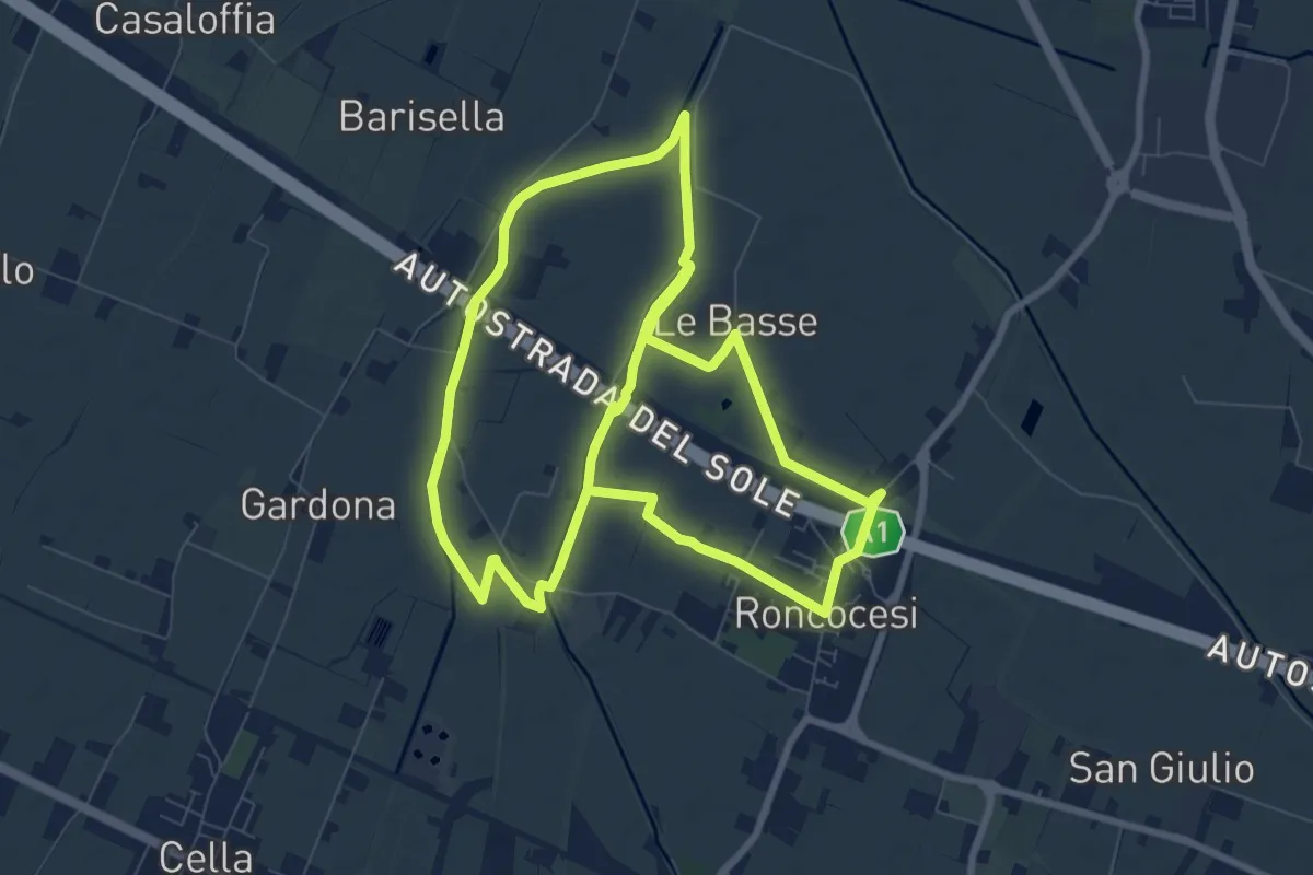
Medium · Trail
Anello di Roncocesi
17.9 km · ↑ 8 m · 4 h 14 min · 10 km away
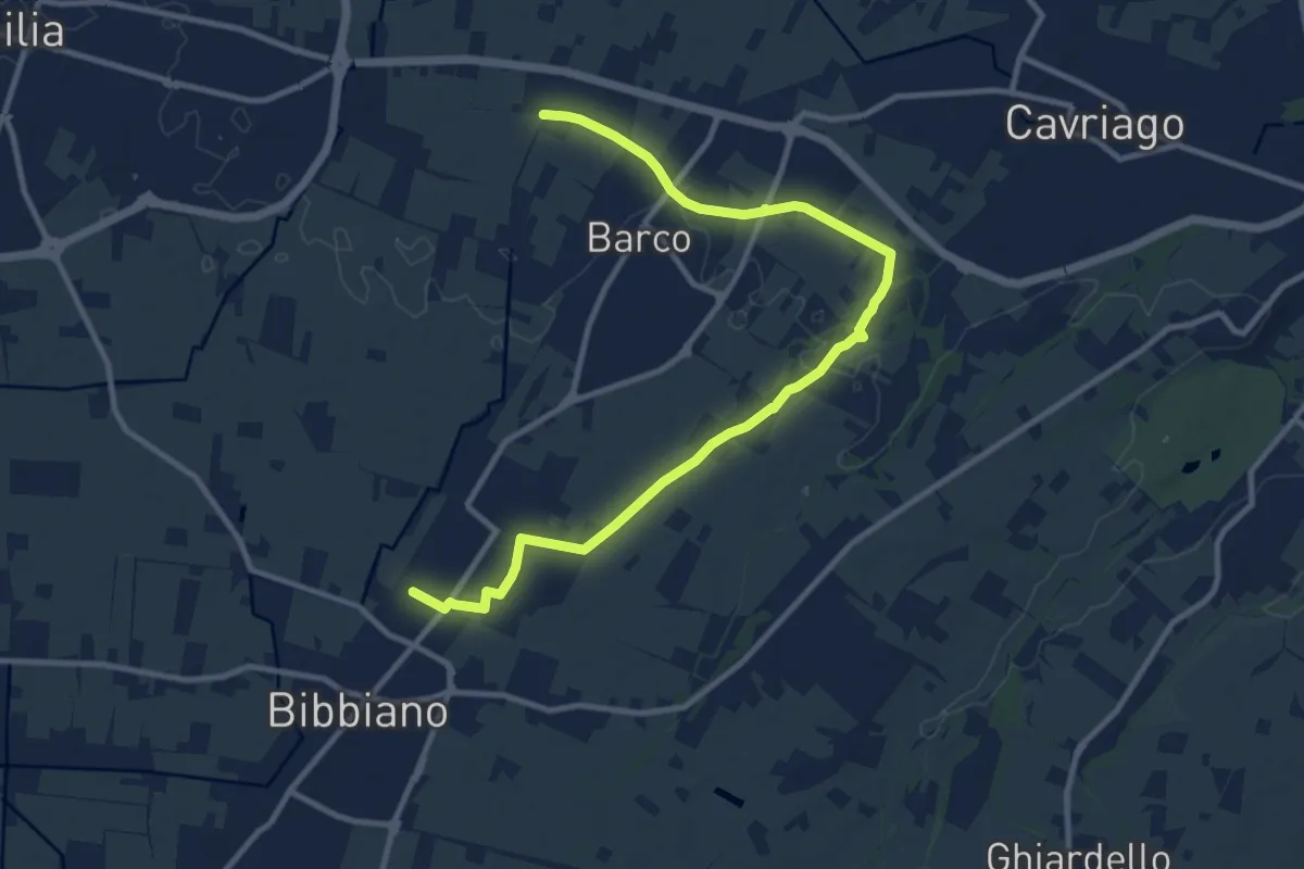
Medium · Trail
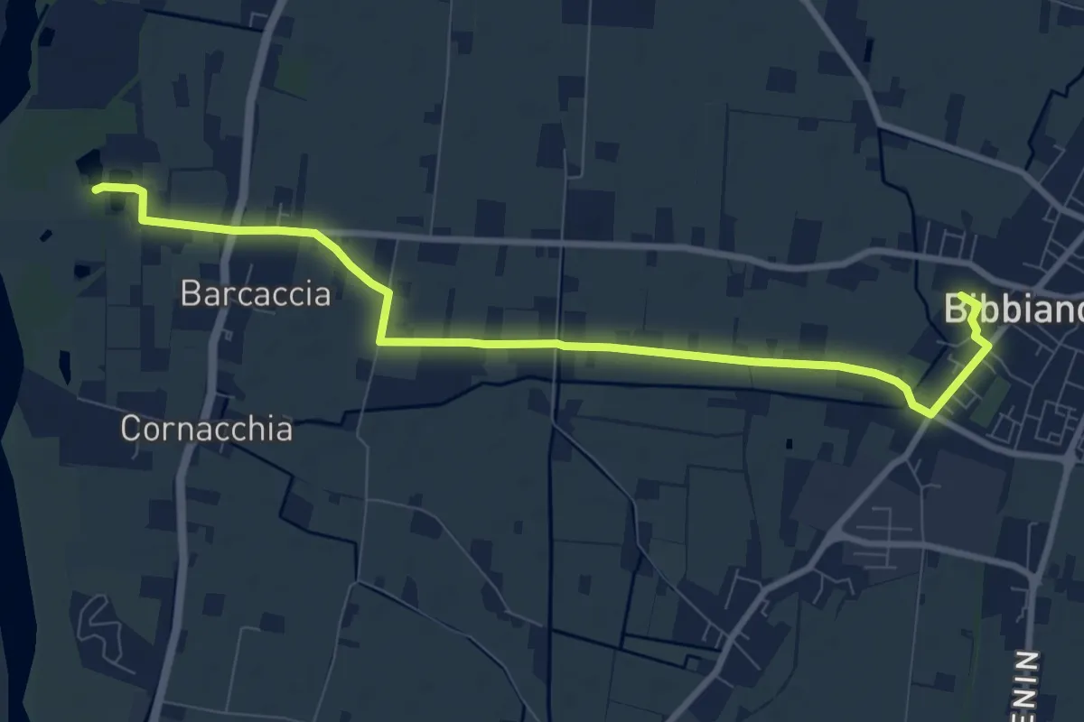
Bibbiano – Sentiero 640A
12.6 km · ↑ 42 m · 3 h 4 min · 10 km away
Medium · Trail
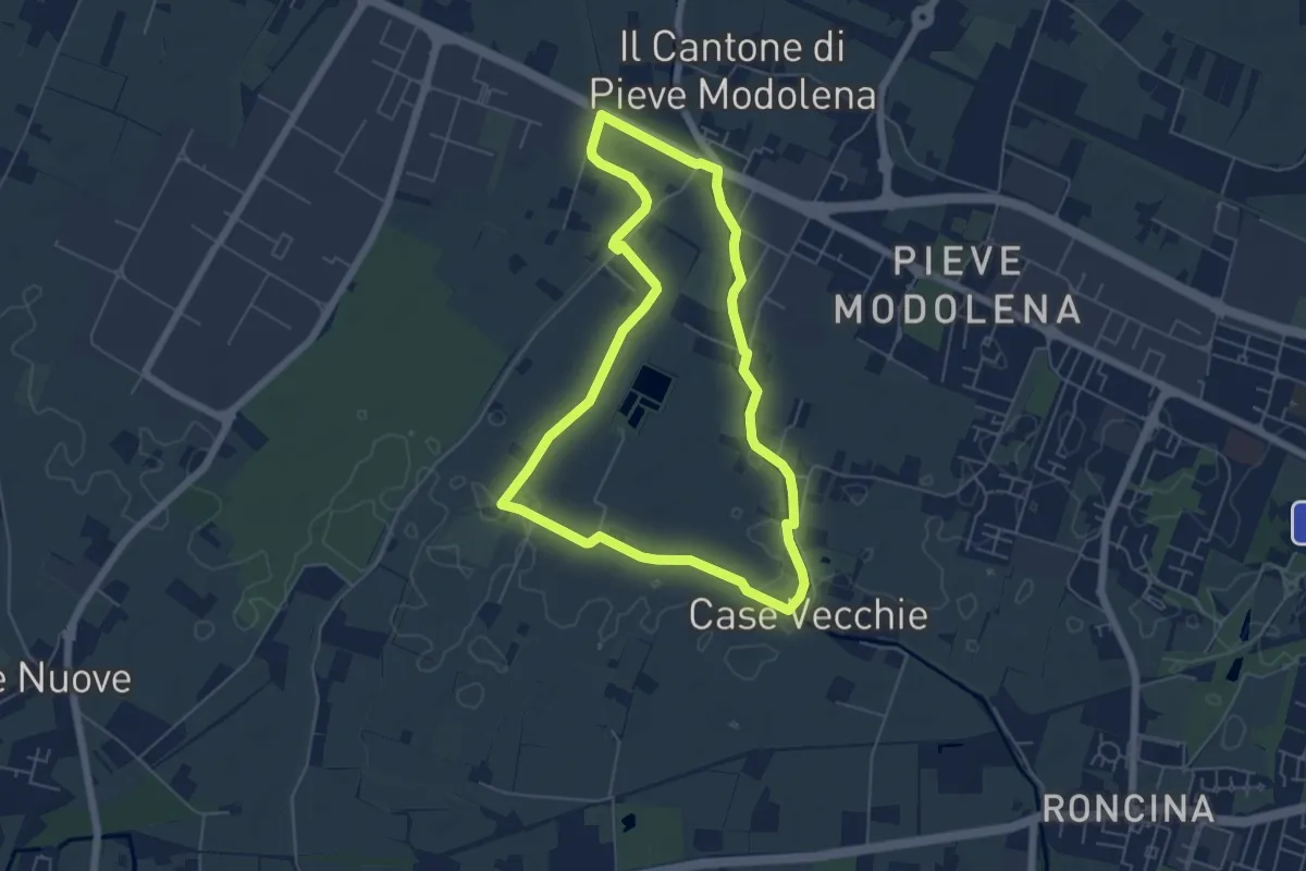
Bibbiano – Percorso 672
9.9 km · ↑ 17 m · 2 h 23 min · 11 km away
Easy · Trail
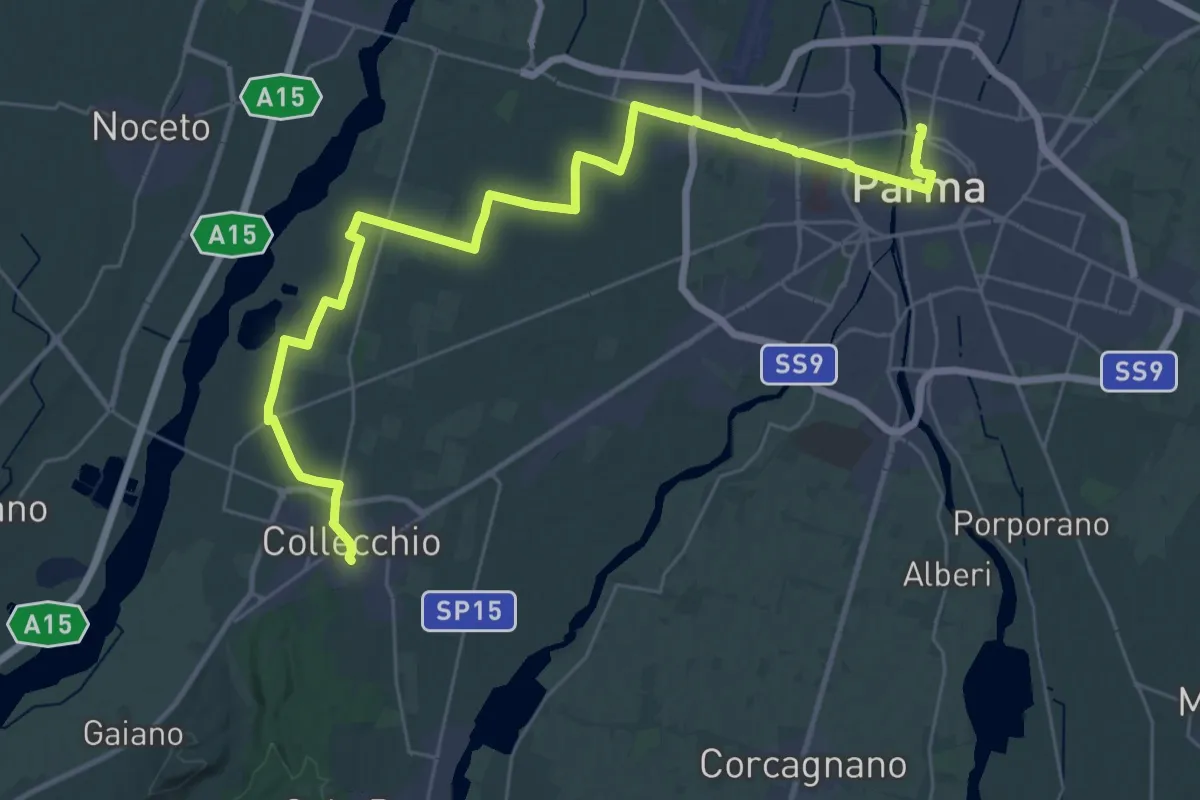
Anello delle Acque di Pieve Modolena
5.7 km · ↑ 4 m · 1 h 26 min · 11 km away
Demanding · Pilgrim path
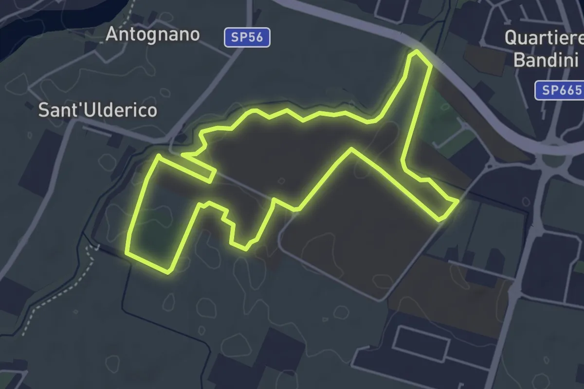
Via Francigena - Variante Parma
20.6 km · ↑ 100 m · 5 h 21 min · 11 km away
Easy · Trail
Percorso del benessere e dei corretti stili di vita
5.0 km · ↑ 9 m · 1 h 16 min · 12 km away
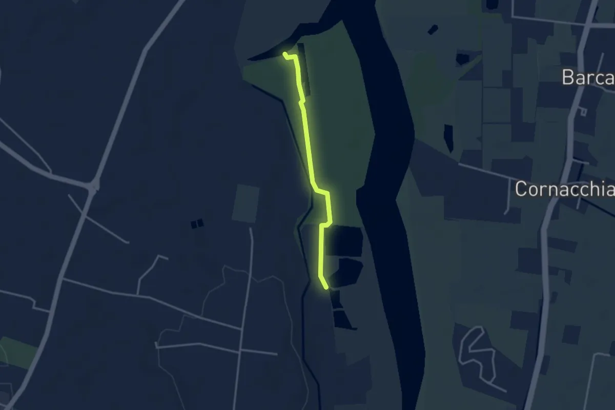
Easy · Trail
Sentiero Area Naturalistica Cronovilla
2.8 km · ↑ 9 m · 41 min · 12 km away
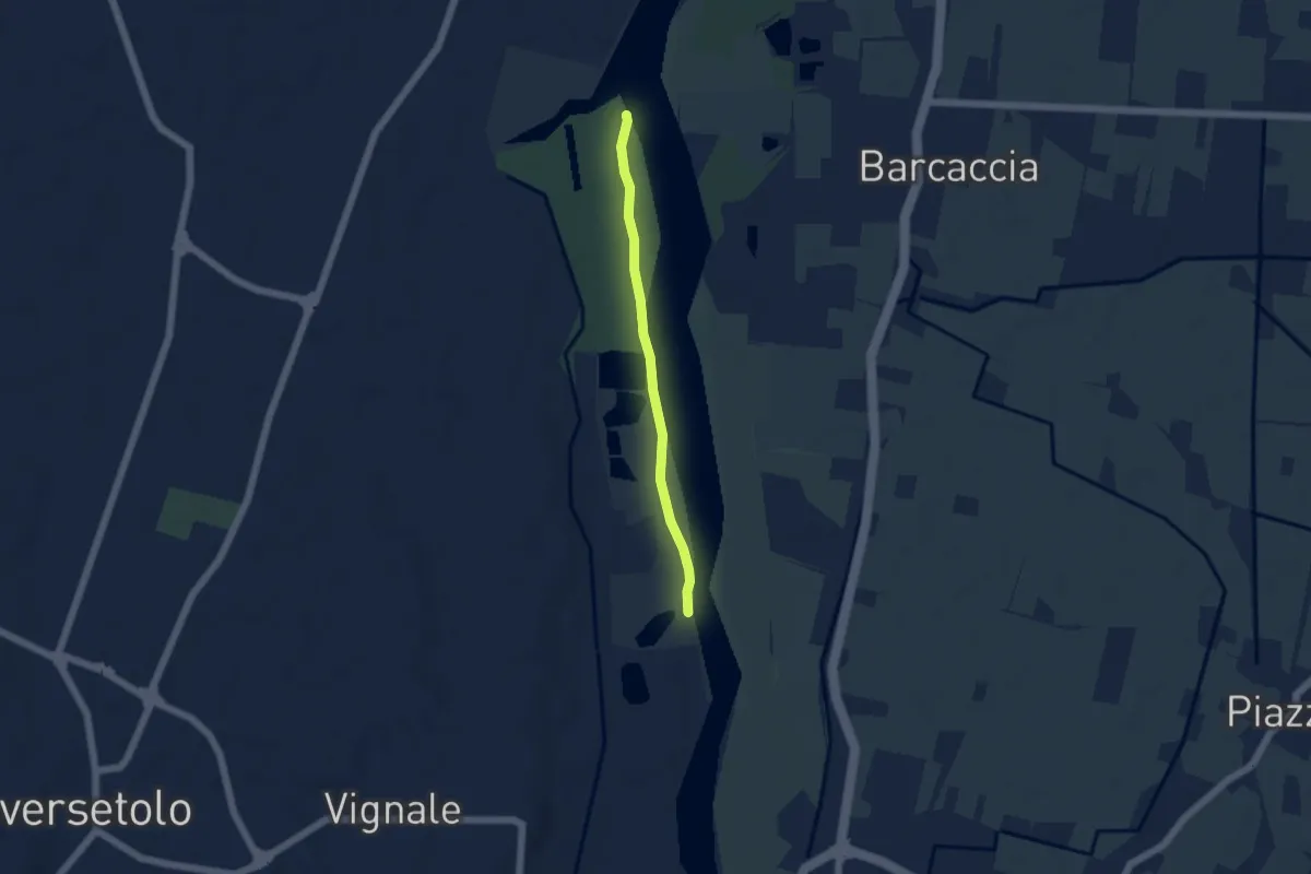
Easy · Trail
Sentiero Area Naturalistica Cronovilla
4.4 km · ↑ 12 m · 1 h 3 min · 13 km away
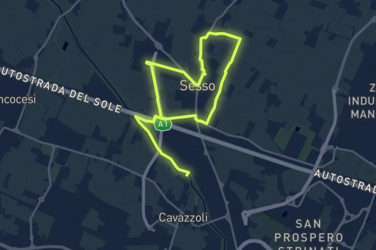
Medium · Trail
Anello di Villa Sesso
14.4 km · ↑ 12 m · 3 h 25 min · 13 km away
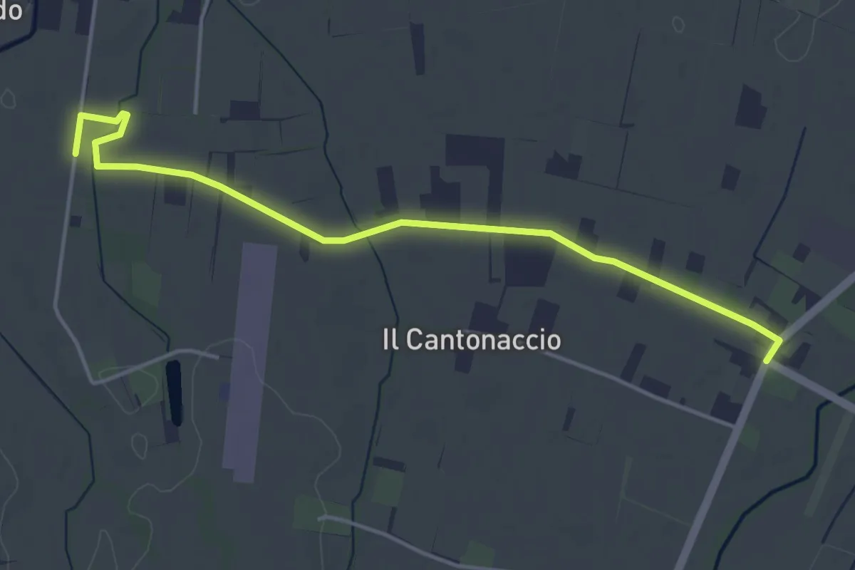
Easy · Trail
Variante Strada della Biodiversità
4.8 km · ↑ 9 m · 1 h 9 min · 14 km away
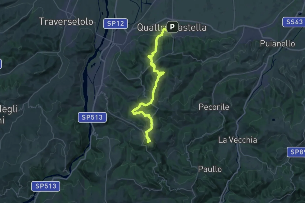
Demanding · Summit
Sentiero Partigiani 1 - sentiero della scelta
27.8 km · ↑ 1313 m · 9 h 24 min · 14 km away
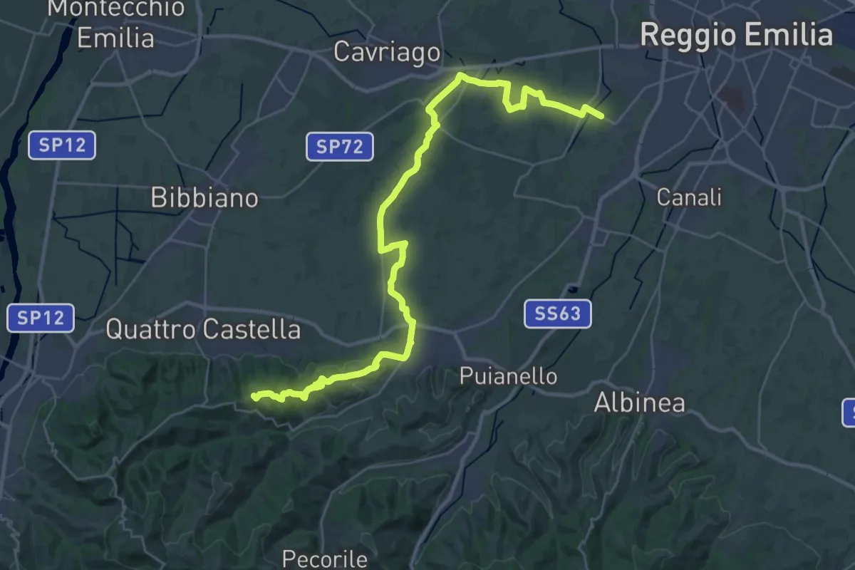
Demanding · Summit
Strada della Biodiversità
36.4 km · ↑ 424 m · 9 h 30 min · 14 km away
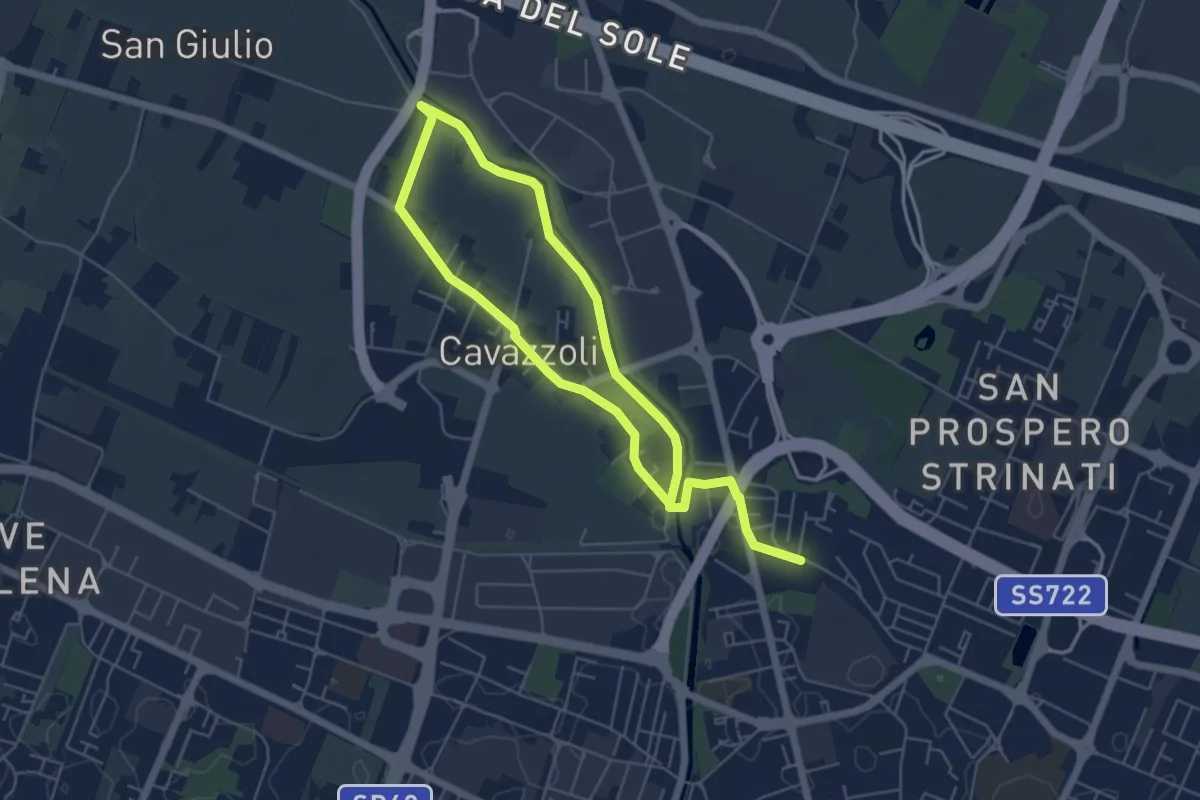
Medium · Trail
Anello di Cavazzoli
9.5 km · ↑ 17 m · 2 h 17 min · 14 km away
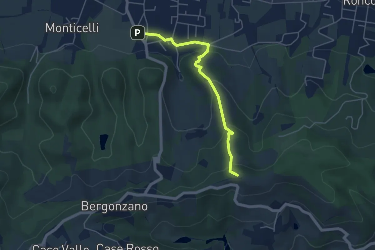
Easy · Summit
Quattro Castella – Monte Airone
4.1 km · ↑ 187 m · 1 h 22 min · 14 km away
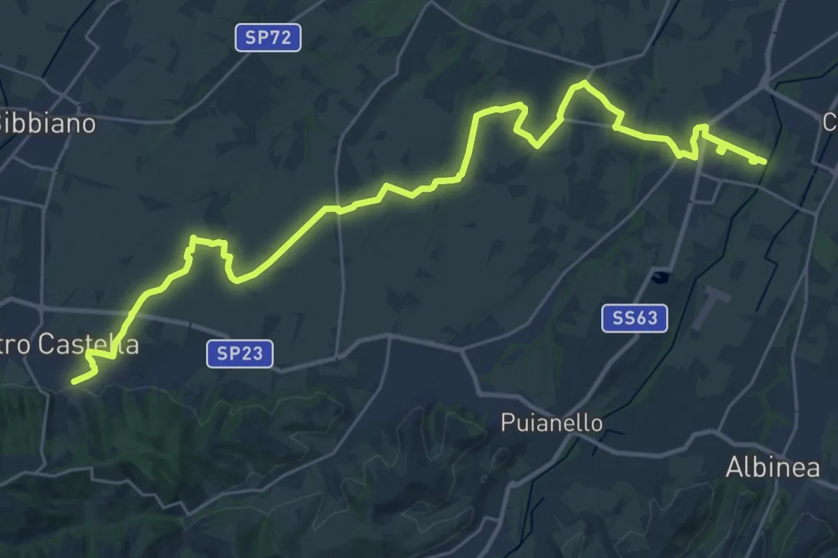
Demanding · Trail
Sentiero dei Ducati Variante Bassa Pianura
31.4 km · ↑ 175 m · 7 h 47 min · 15 km away
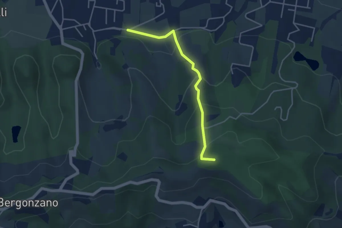
Easy · Summit
Quattro Castella – Sella Monte Biliano
3.3 km · ↑ 196 m · 1 h 12 min · 15 km away
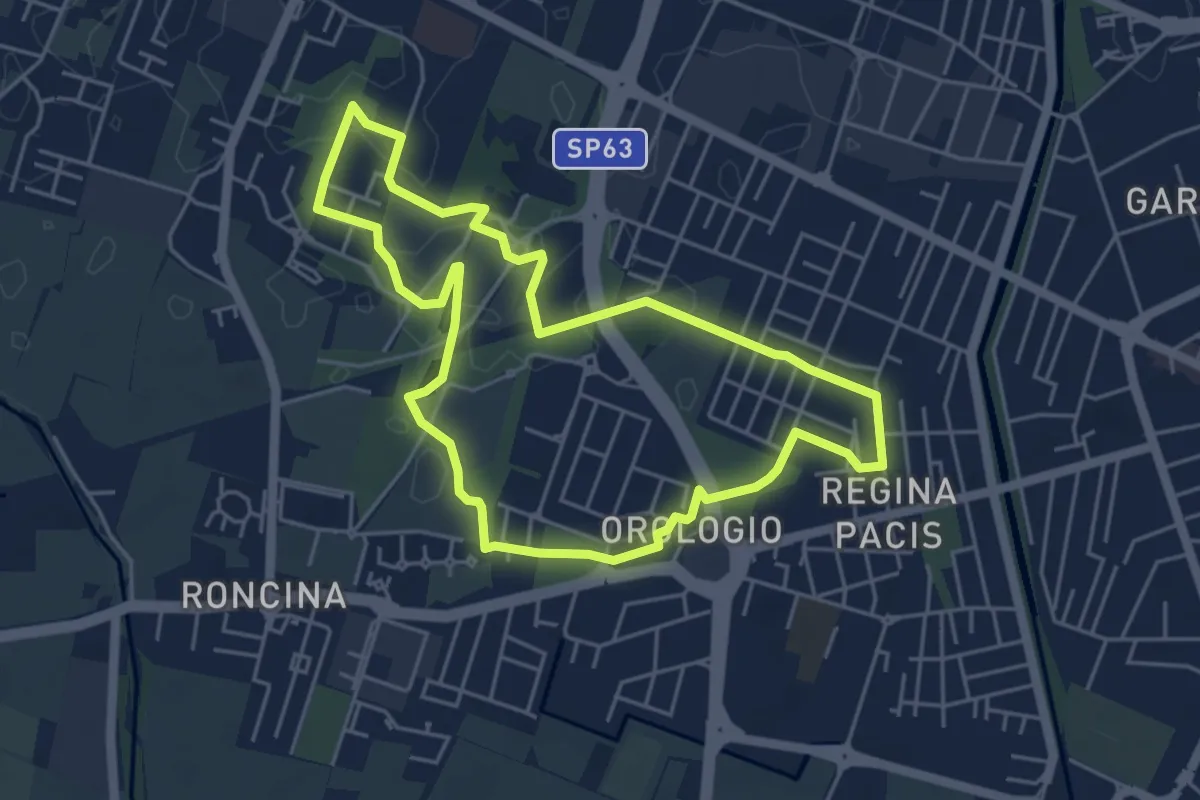
Easy · Trail
Anello Alex Langer
5.0 km · ↑ 12 m · 1 h 17 min · 15 km away
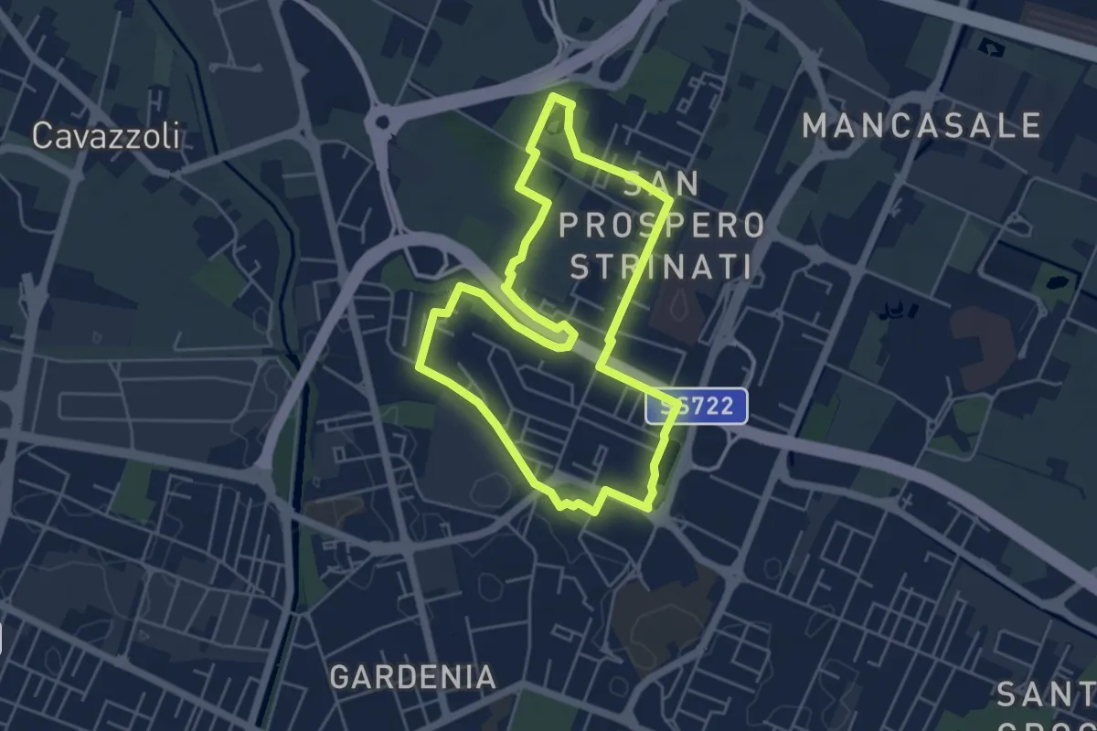
Easy · Trail
Anello di San Prospero Strinati
4.9 km · ↑ 5 m · 1 h 15 min · 15 km away