Trails near Santa Margherita Ligure
133 hikes starting within 15 km, nearest first.
Nearest first, page 3 of 3
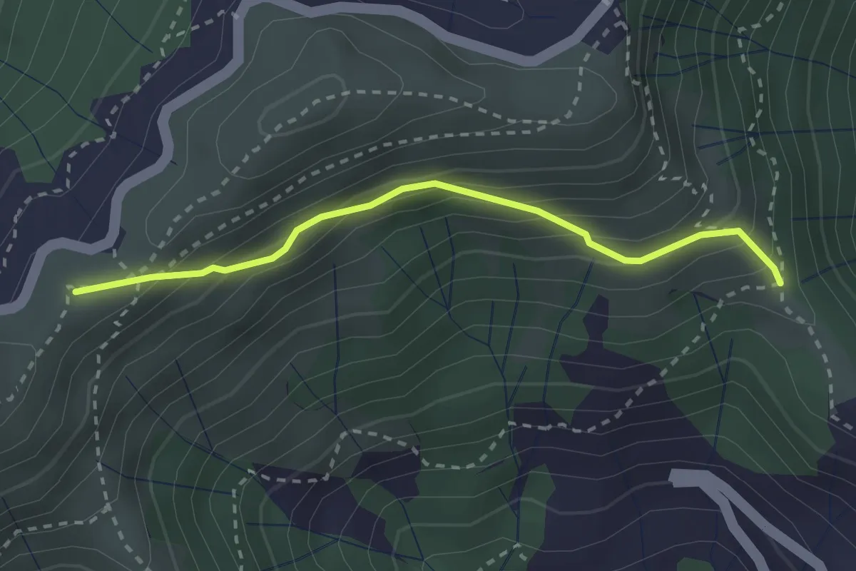
Easy · Summit
Croce - Bocchin di Levà
2.6 km · ↑ 222 m · 1 h 6 min · 11 km away
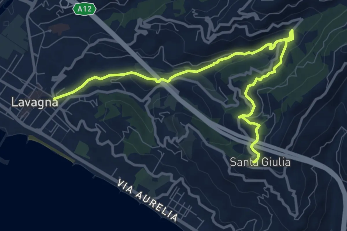
Medium · Trail
Lavagna - Valle dei Berissi - Santa Giulia
9.2 km · ↑ 384 m · 3 h · 11 km away
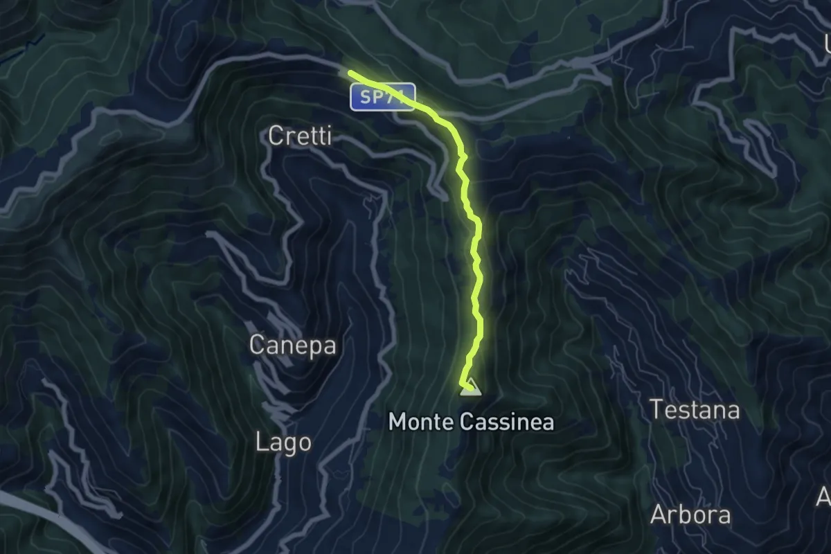
Easy · Summit
Sori – Case Cornua
5.2 km · ↑ 154 m · 1 h 34 min · 11 km away
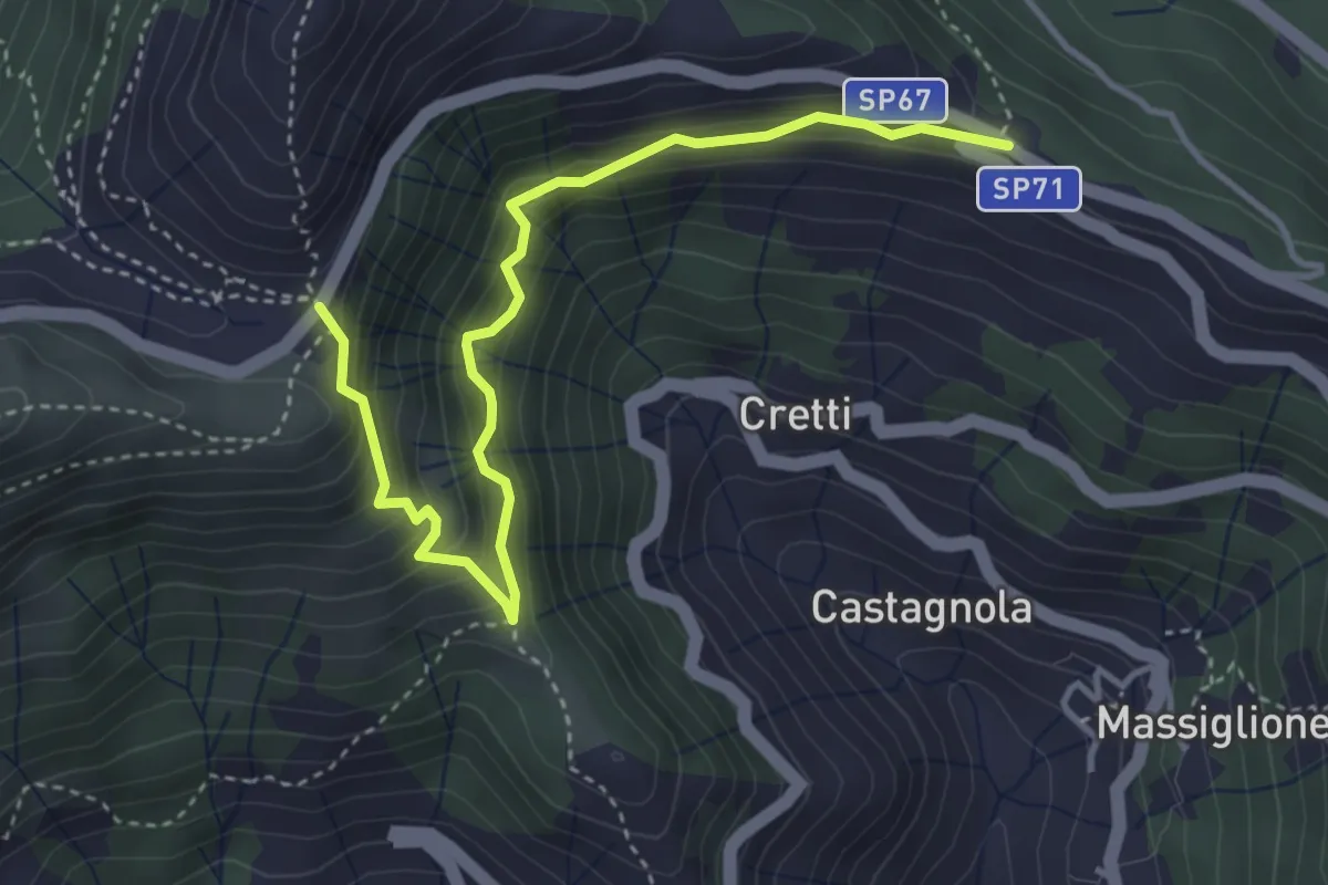
Medium · Trail
Itinerario Storico Colombiano - Variante ISC1
4.4 km · ↑ 438 m · 1 h 59 min · 11 km away
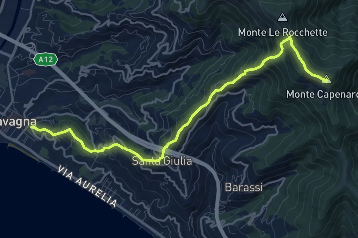
Medium · Summit
Lavagna - Santa Giulia di Centaura - Monte Capenardo
12.0 km · ↑ 739 m · 4 h 25 min · 11 km away
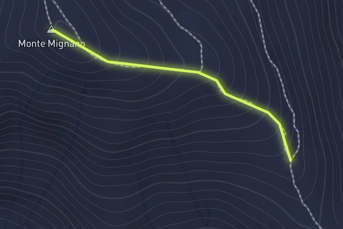
Medium · Summit
Sentiero di Monte Mignano
1.0 km · ↑ 117 m · 30 min · 11 km away
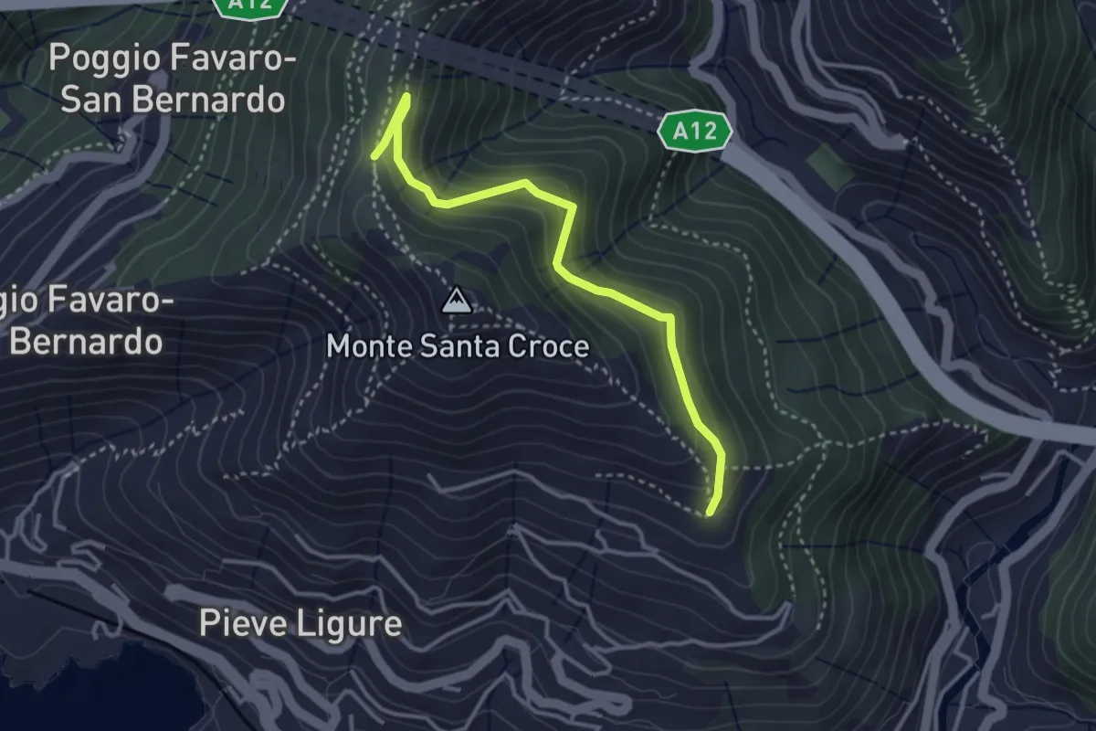
Easy · Trail
Costa - Cramoesi
3.4 km · ↑ 206 m · 1 h 15 min · 11 km away
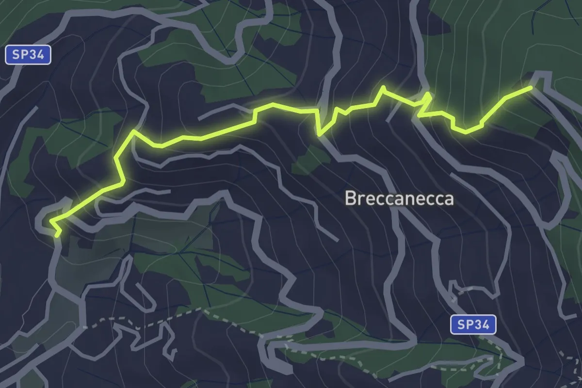
Medium · Trail
San Salvatore - San Giacomo
3.6 km · ↑ 395 m · 1 h 42 min · 12 km away
Medium · Trail
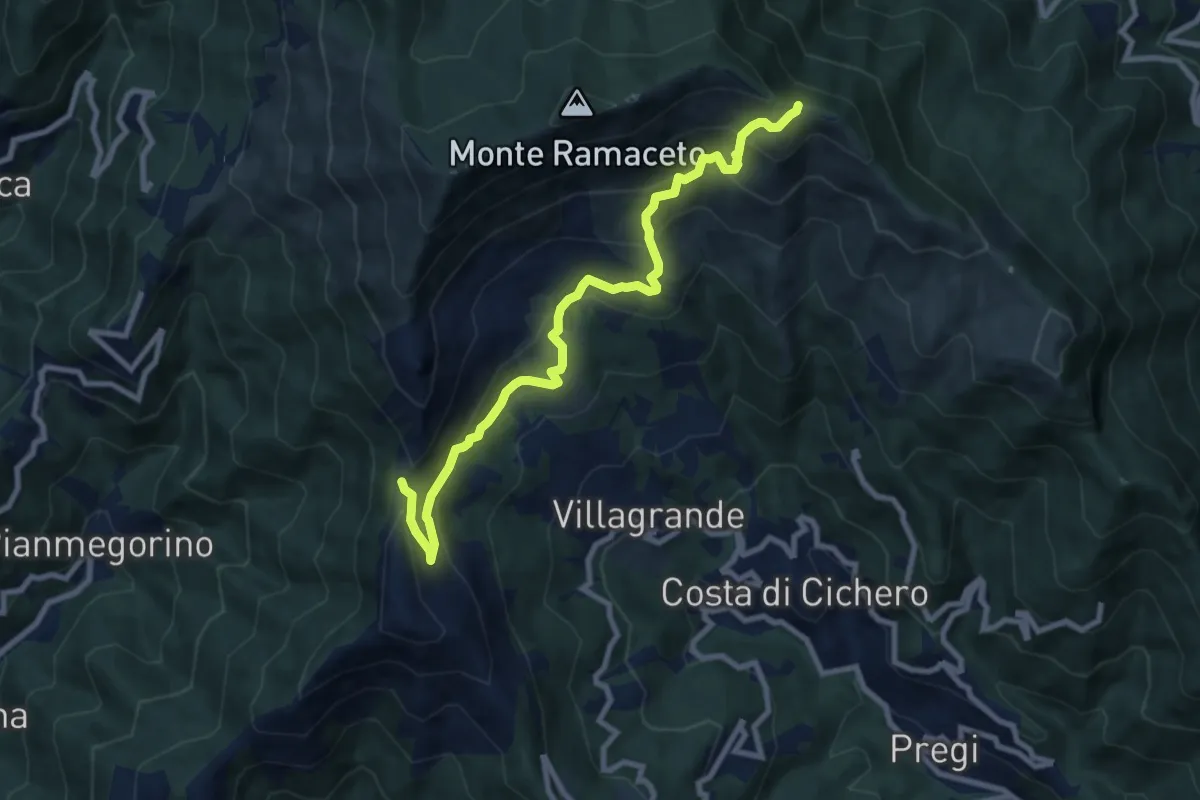
Passo del Dente – Fo du Driun
9.4 km · ↑ 624 m · 3 h 35 min · 12 km away
Medium · Summit
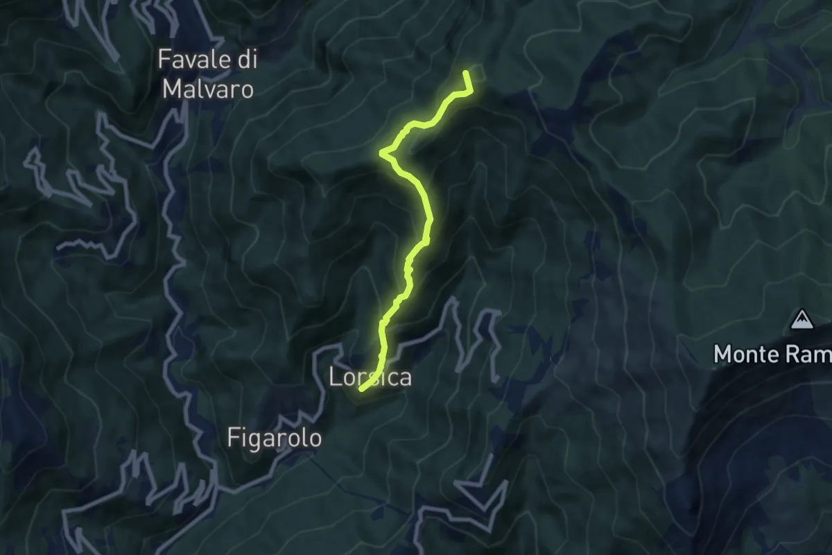
Lorsica - Passo Ventarola
6.5 km · ↑ 649 m · 2 h 57 min · 12 km away
Medium · Summit
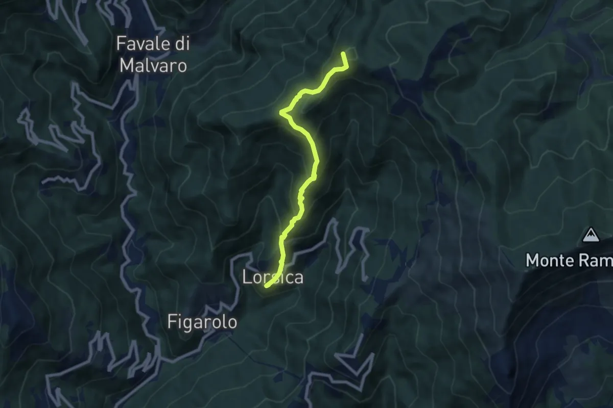
Lorsica – Passo Ventarola Nord
6.6 km · ↑ 656 m · 2 h 59 min · 12 km away
Easy · Trail
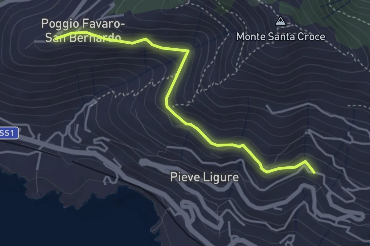
Pieve Alta - San Bernardo
3.6 km · ↑ 198 m · 1 h 17 min · 12 km away
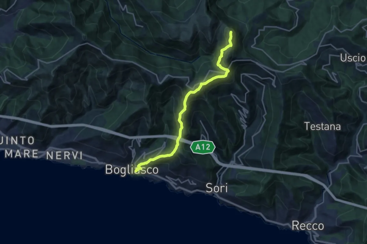
Demanding · Summit
Bogliasco – Monte Bado
14.9 km · ↑ 1201 m · 6 h 7 min · 12 km away
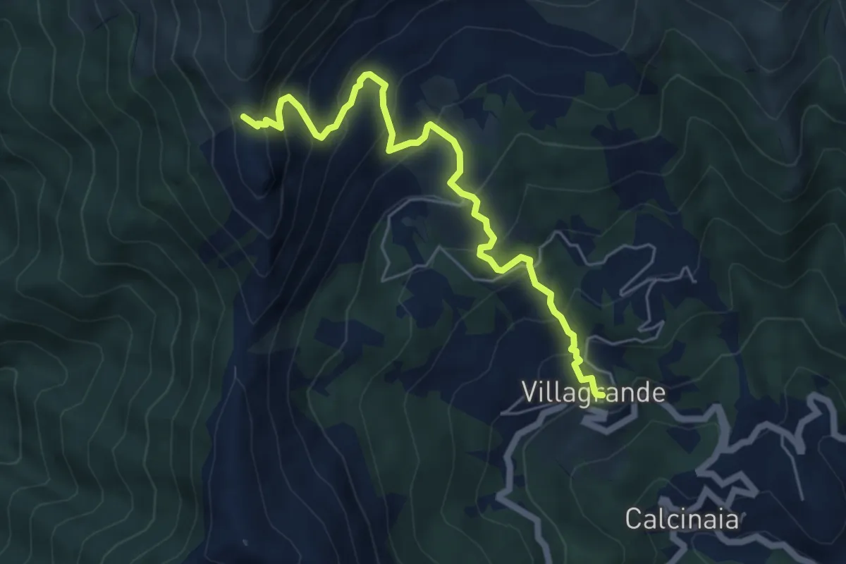
Medium · Trail
Villagrande di Cichero - Colla di Feia
5.9 km · ↑ 540 m · 2 h 33 min · 12 km away
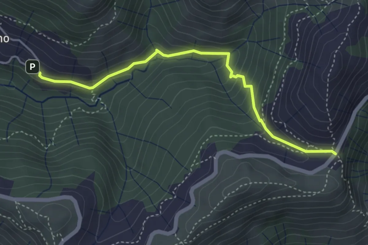
Medium · Trail
Cisiano - Case Becco
4.1 km · ↑ 280 m · 1 h 34 min · 13 km away
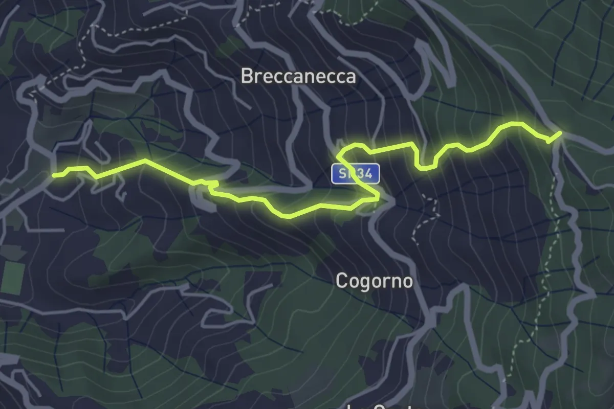
Medium · Trail
San Salvatore - San Giacomo
4.7 km · ↑ 542 m · 2 h 18 min · 13 km away
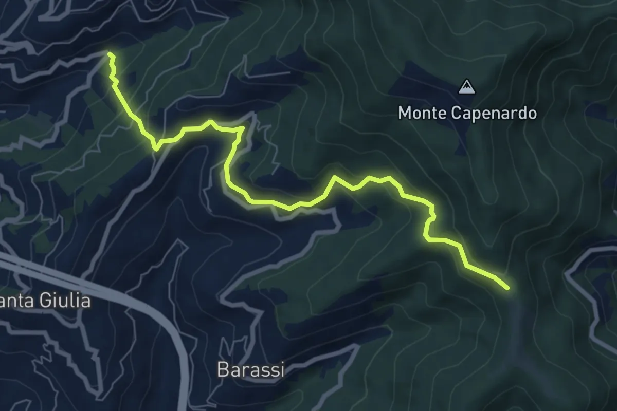
Medium · Trail
Chighina - Crocetta - Sorlana - Selva
7.4 km · ↑ 553 m · 2 h 57 min · 13 km away
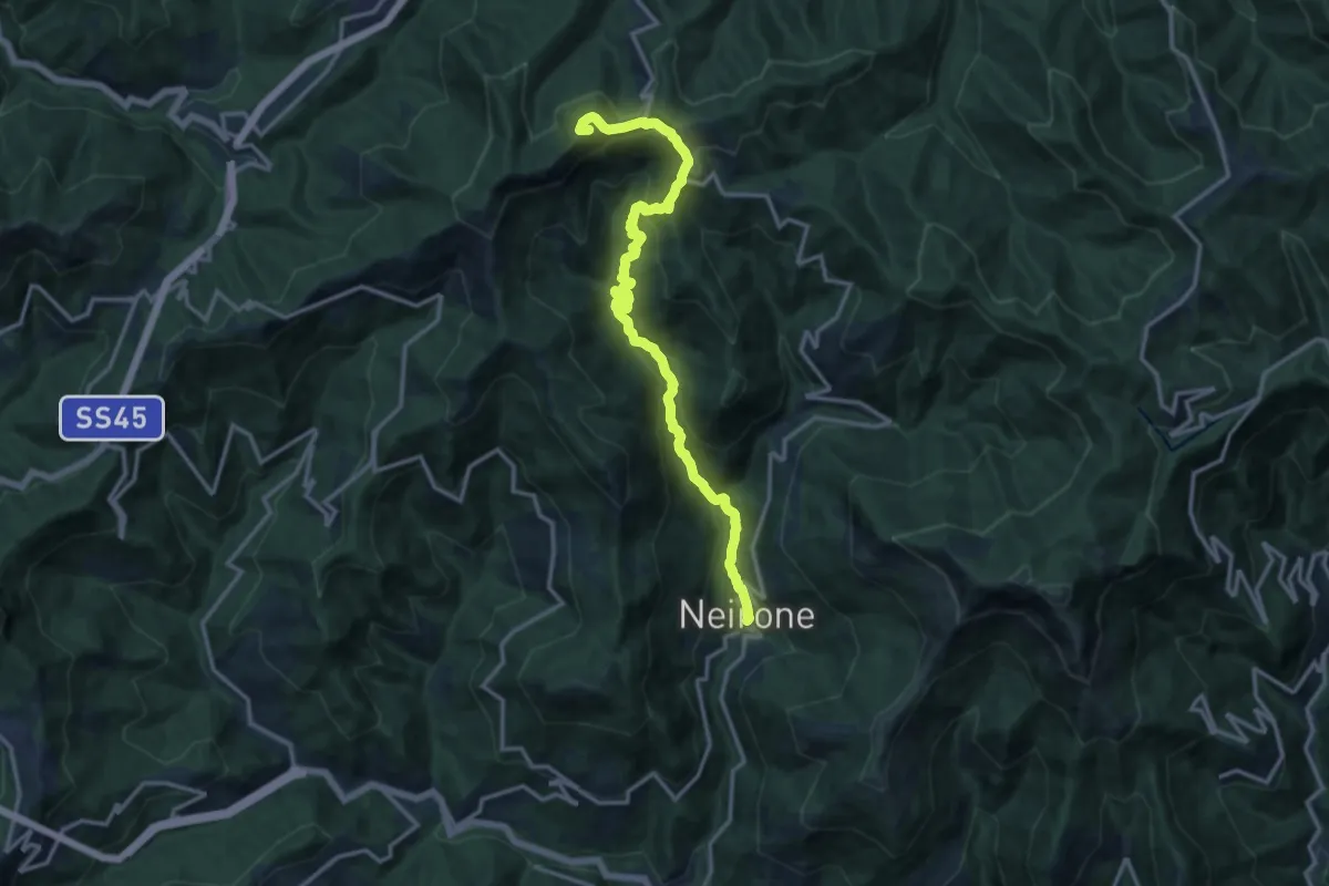
Demanding · Summit
Neirone - Passo del Portello - Monte Lavagnola
15.1 km · ↑ 959 m · 5 h 38 min · 13 km away
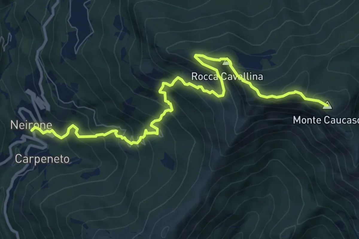
Demanding · Summit
Neirone – Monte Caucaso
10.0 km · ↑ 944 m · 4 h 25 min · 13 km away
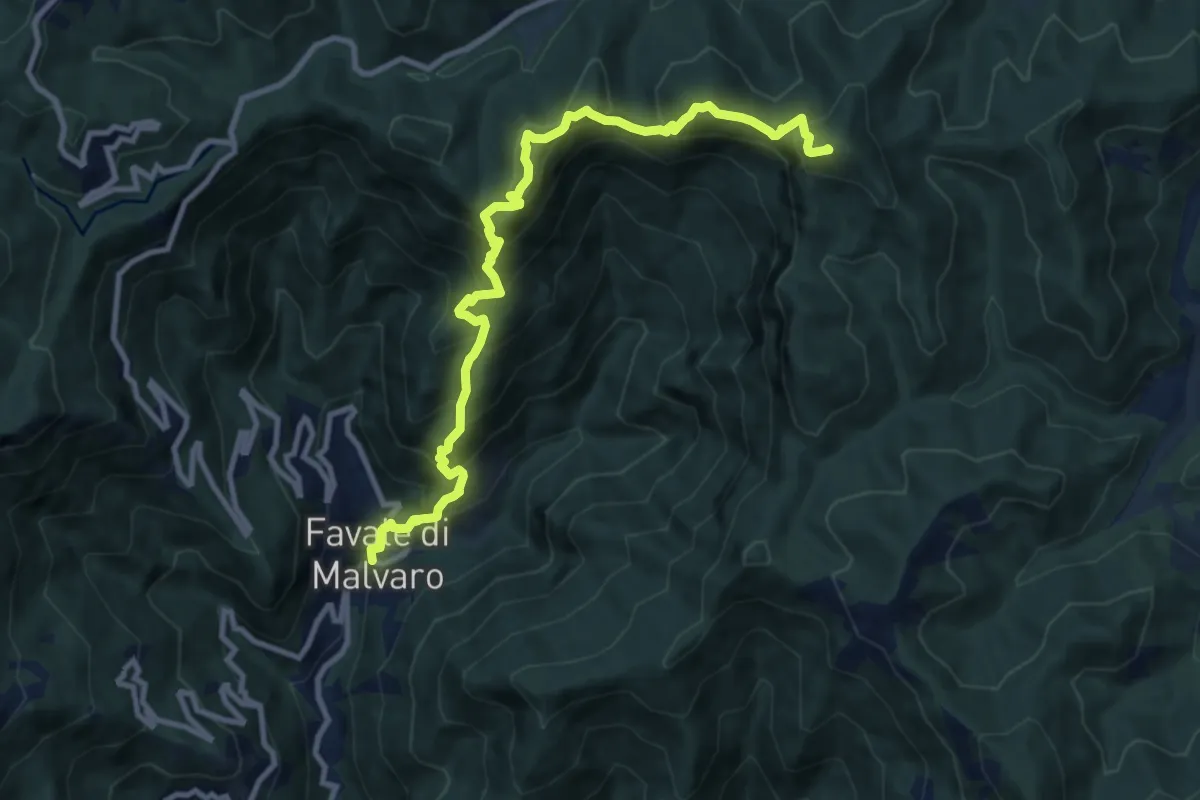
Demanding · Summit
Favale di Malvaro – Monte Pagliaro
11.2 km · ↑ 1148 m · 5 h 8 min · 14 km away
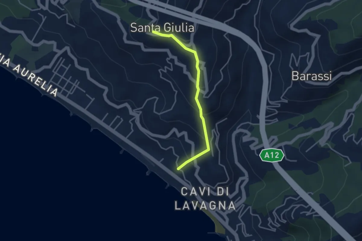
Easy · Trail
Cavi Borgo - S. Michele - S. Giulia
3.0 km · ↑ 233 m · 1 h 12 min · 14 km away
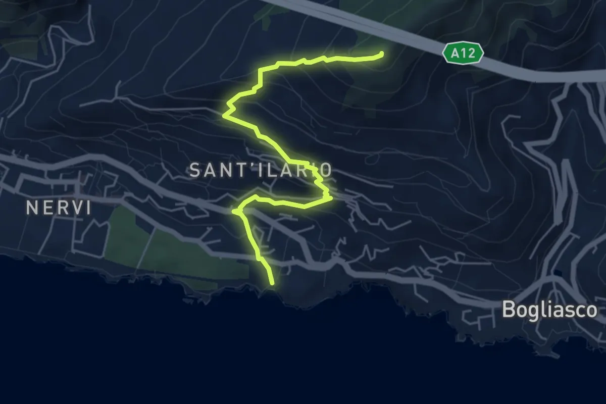
Medium · Summit
Nervi - Monte Giugo
5.3 km · ↑ 472 m · 2 h 16 min · 14 km away
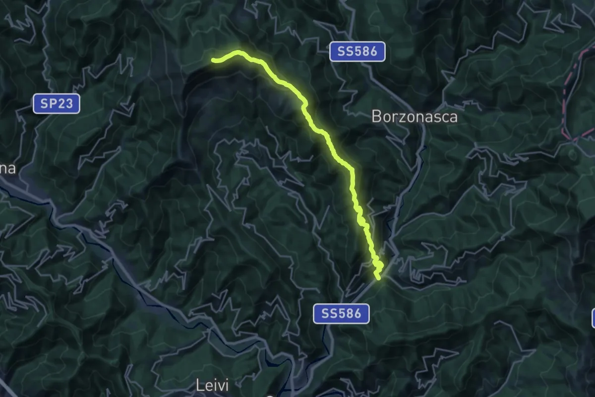
Demanding · Summit
Prati di Mezzanego – Monte Ramaceto
20.3 km · ↑ 1471 m · 7 h 58 min · 14 km away
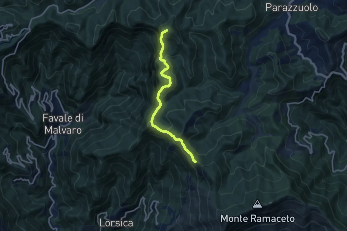
Medium · Summit
Barbagelata - Passo di Ventarola
8.4 km · ↑ 593 m · 3 h 17 min · 14 km away
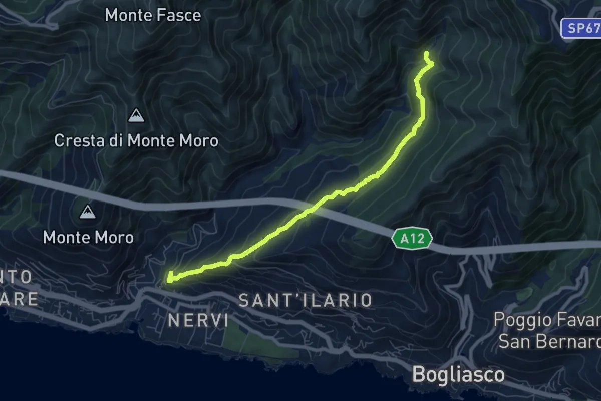
Medium · Trail
Pro Canyon - Torrente Nervi
7.2 km · ↑ 386 m · 2 h 32 min · 14 km away
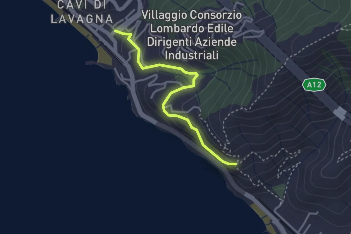
Medium · Trail
Cavi Borgo - S. Anna
2.9 km · ↑ 195 m · 1 h 6 min · 14 km away
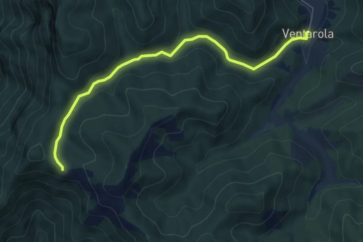
Medium · Cabin
Ventarola - Passo della Ventarola Nord
6.2 km · ↑ 151 m · 1 h 48 min · 14 km away
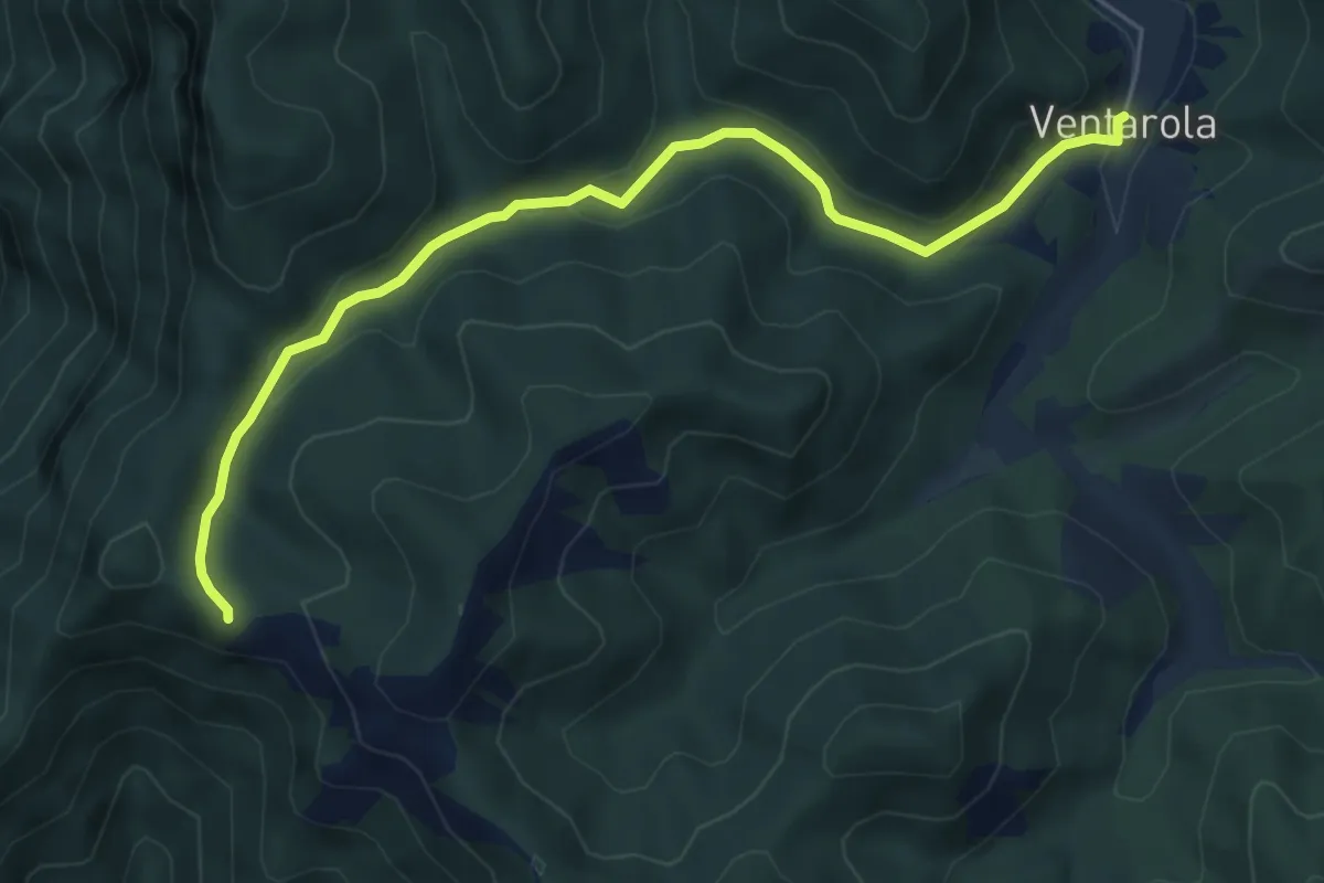
Medium · Cabin
Raccordo AVML: Ventarola - Passo della Ventarola Nord
6.2 km · ↑ 151 m · 1 h 48 min · 14 km away
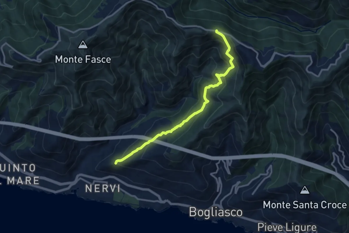
Medium · Trail
S. Ilario - Monte Fasce
9.2 km · ↑ 650 m · 3 h 34 min · 14 km away
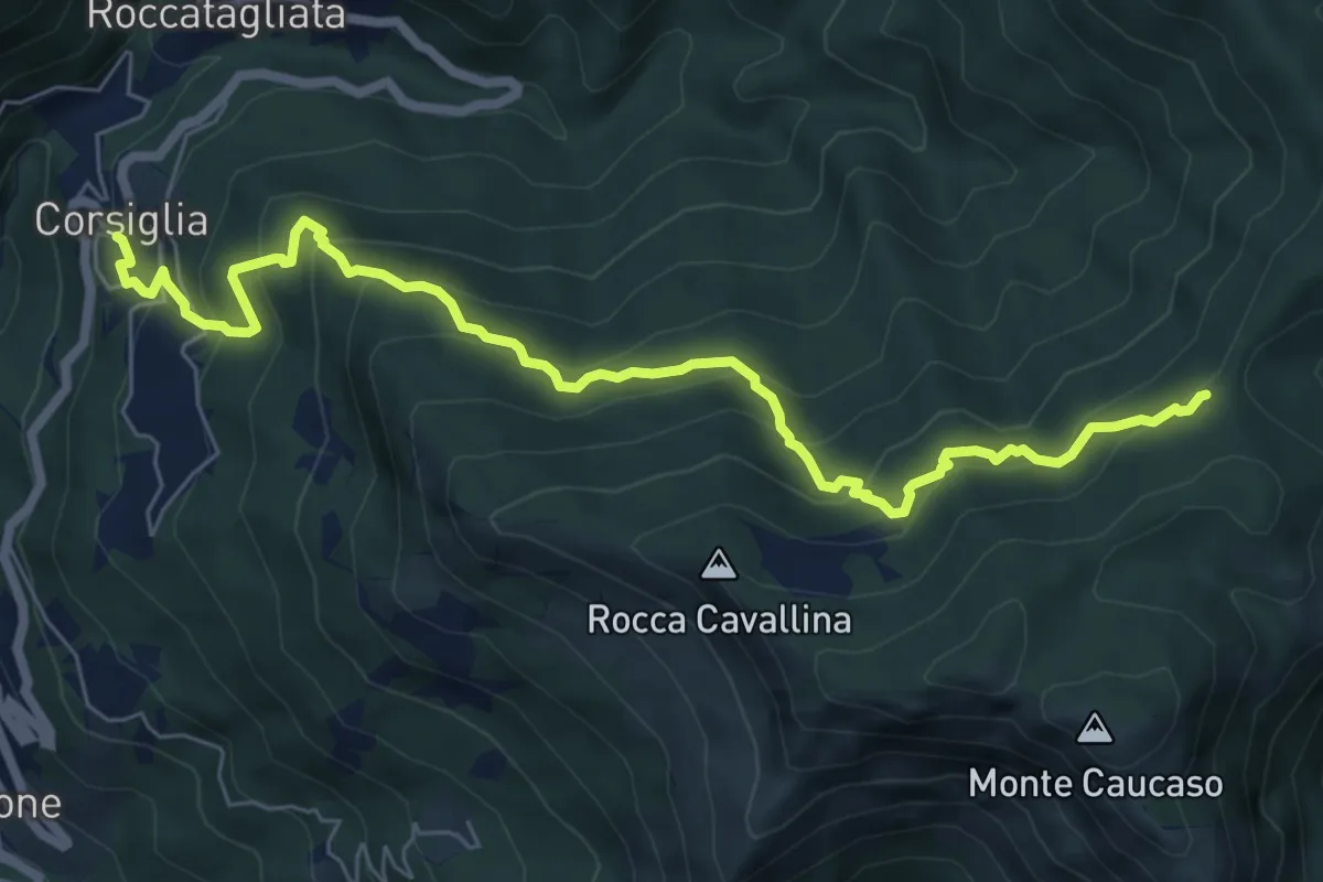
Medium · Trail
Corsiglia – Passo di Stre Biurche
8.0 km · ↑ 653 m · 3 h 19 min · 14 km away
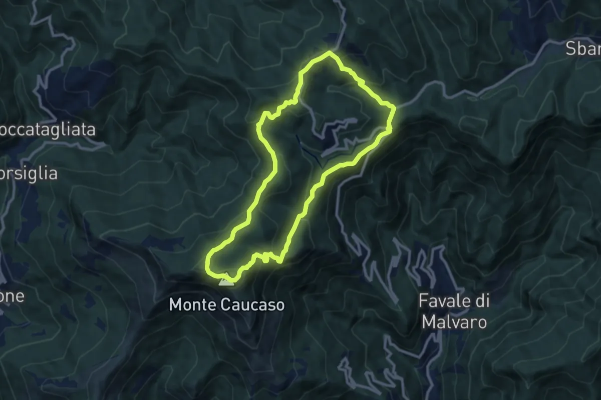
Medium · Summit
A13 - Anello della Scoglina
8.5 km · ↑ 478 m · 3 h 10 min · 15 km away
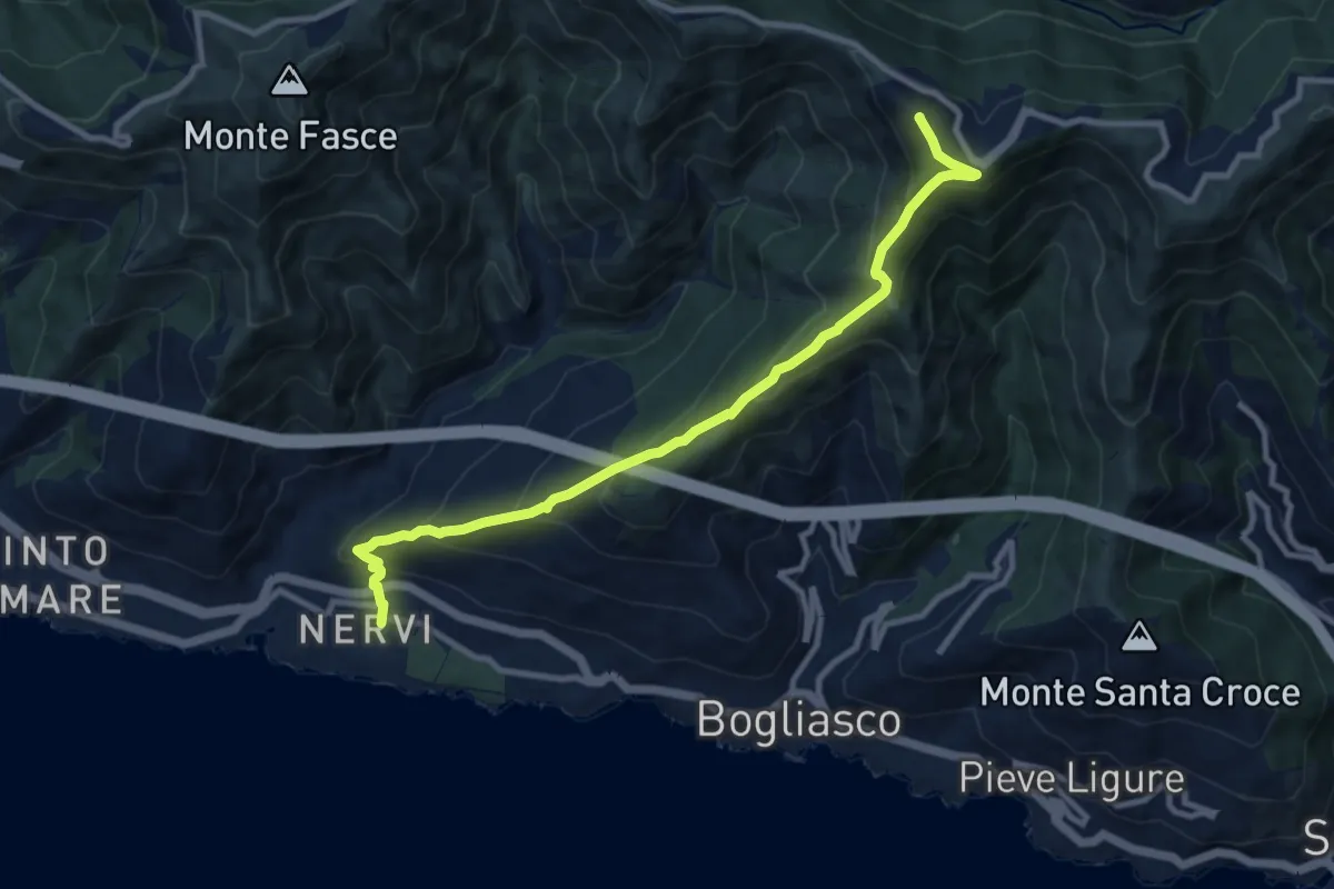
Medium · Summit
Nervi – Monte Cordona
10.4 km · ↑ 730 m · 4 h 2 min · 15 km away
Medium · Summit
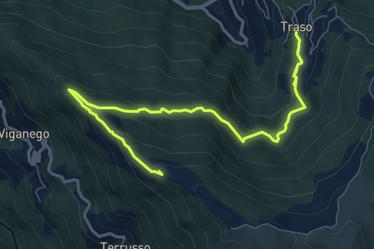
Traso - Colle Speranza
8.5 km · ↑ 567 m · 3 h 14 min · 15 km away
Medium · Summit
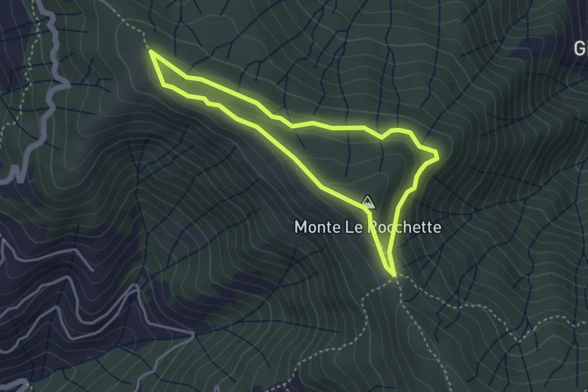
Anello del Massiccio San Giacomo
3.2 km · ↑ 99 m · 1 h 1 min · 15 km away
Easy · Summit
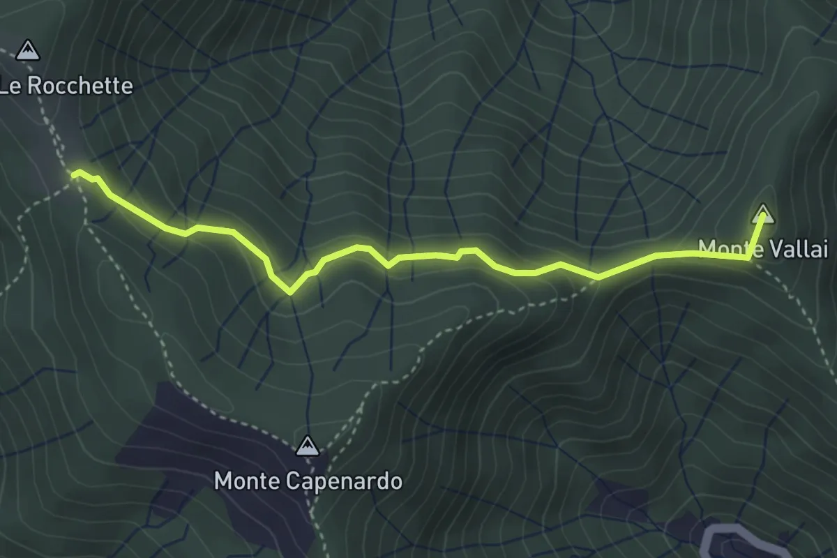
Azaro - Innesto Anello San Giacomo
3.8 km · ↑ 243 m · 1 h 25 min · 15 km away
Medium · Summit
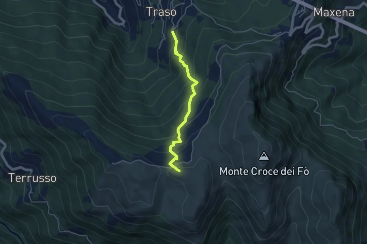
Traso Alta - Colle Speranza
3.5 km · ↑ 341 m · 1 h 34 min · 15 km away
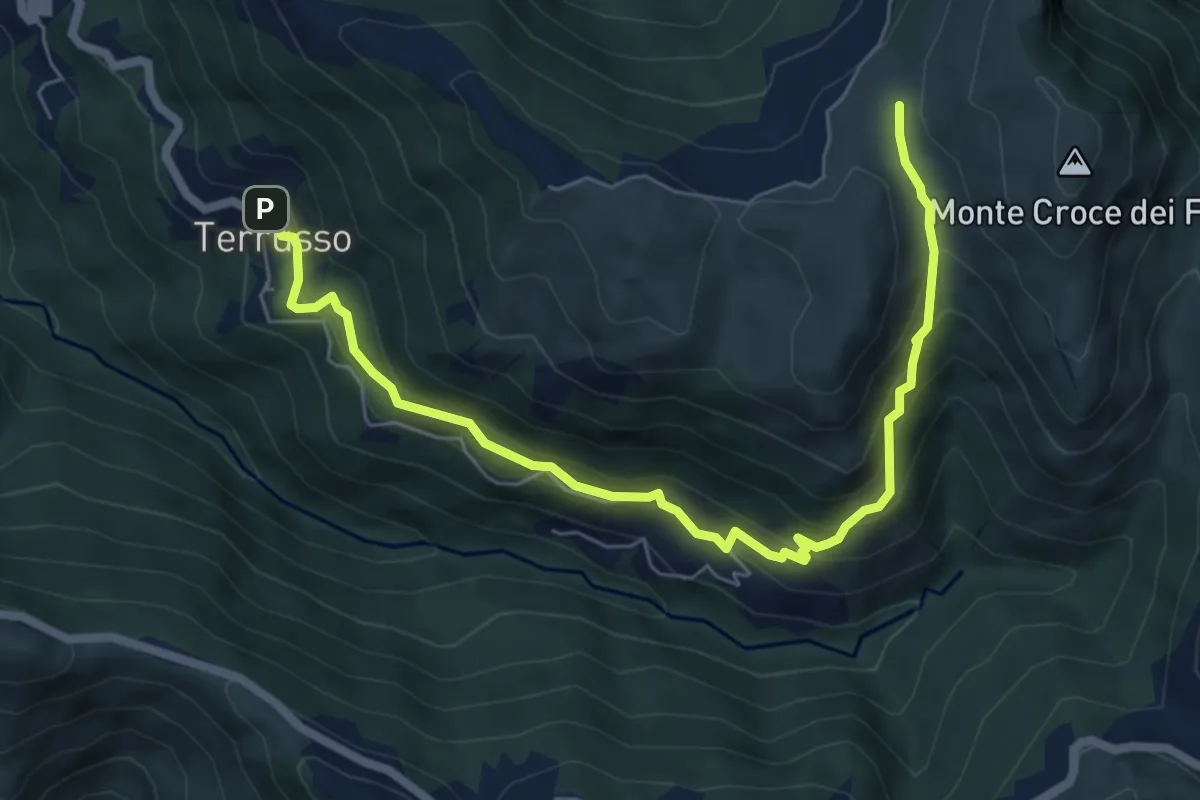
Medium · Trail
Terrusso - Cisiano - Piano della Speranza
7.6 km · ↑ 492 m · 2 h 51 min · 15 km away