Trails near Santa Maria la Carità
115 hikes starting within 15 km, nearest first.
Nearest first, page 2 of 3
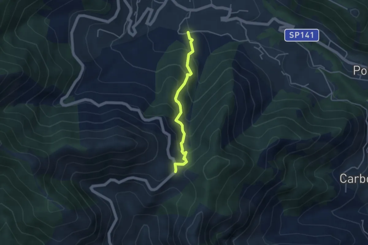
Medium · Trail
Loc. Frescale (Tramonti) – Loc. Passo
3.3 km · ↑ 329 m · 1 h 30 min · 10 km away
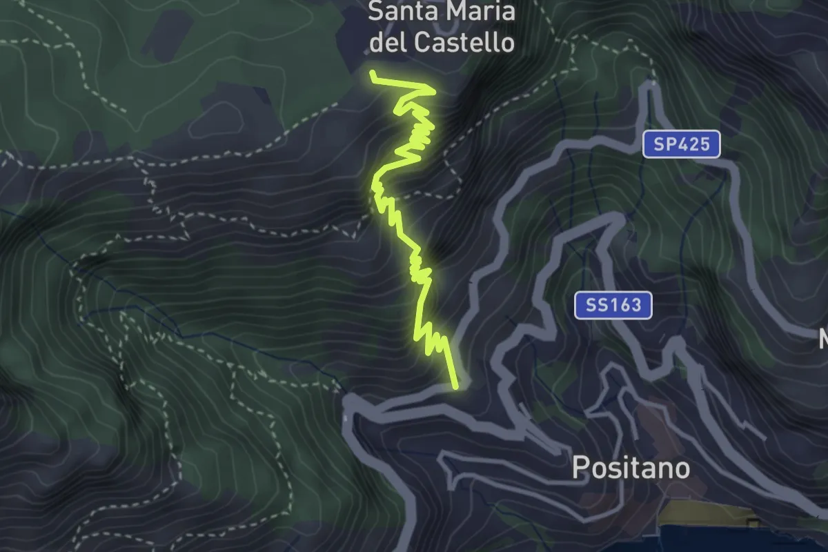
Medium · Trail
Le Tese di Positano
4.0 km · ↑ 715 m · 2 h 29 min · 10 km away
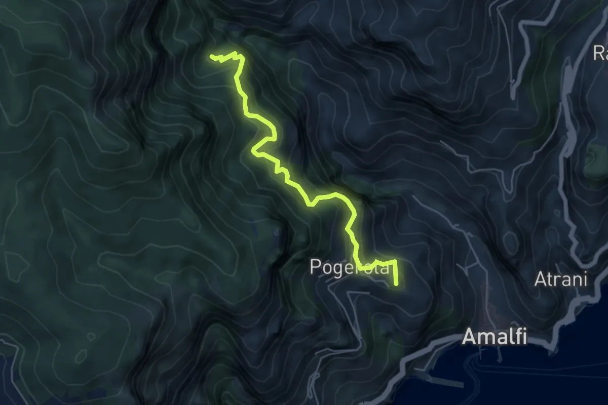
Medium · Summit
Sentiero dei Castagneti di Tavernate
5.5 km · ↑ 616 m · 2 h 39 min · 10 km away
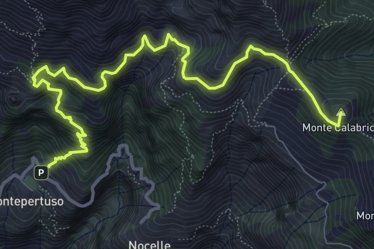
Expert · Summit
Sentiero alto degli dei
10.0 km · ↑ 1226 m · 5 h 1 min · 10 km away
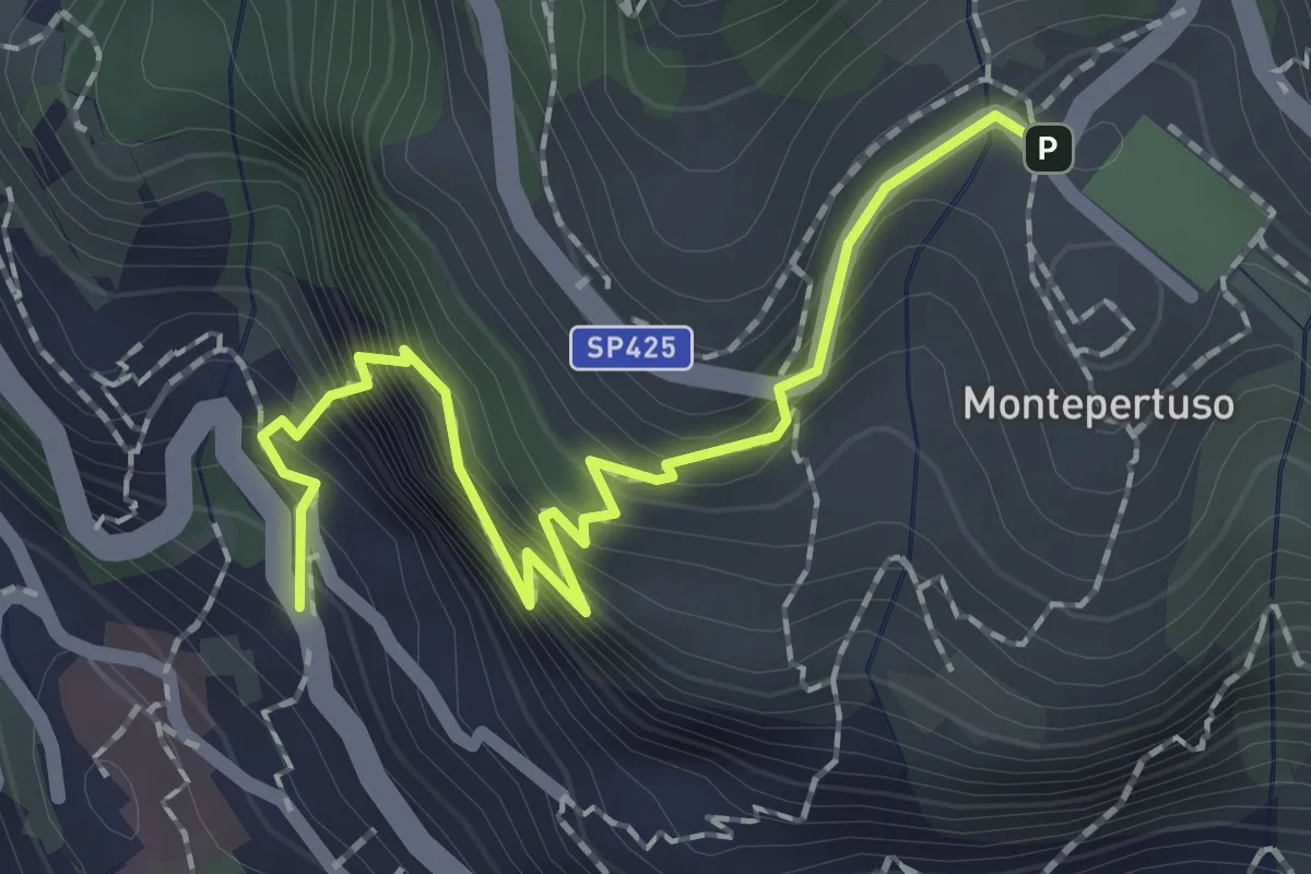
Medium · Trail
Località Montepertuso – Positano
2.3 km · ↑ 336 m · 1 h 17 min · 10 km away
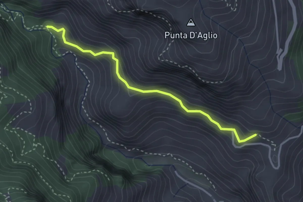
Medium · Trail
Pontone (Scala) – Incrocio 325 (Rudere dela Ferriera)
3.3 km · ↑ 273 m · 1 h 22 min · 10 km away
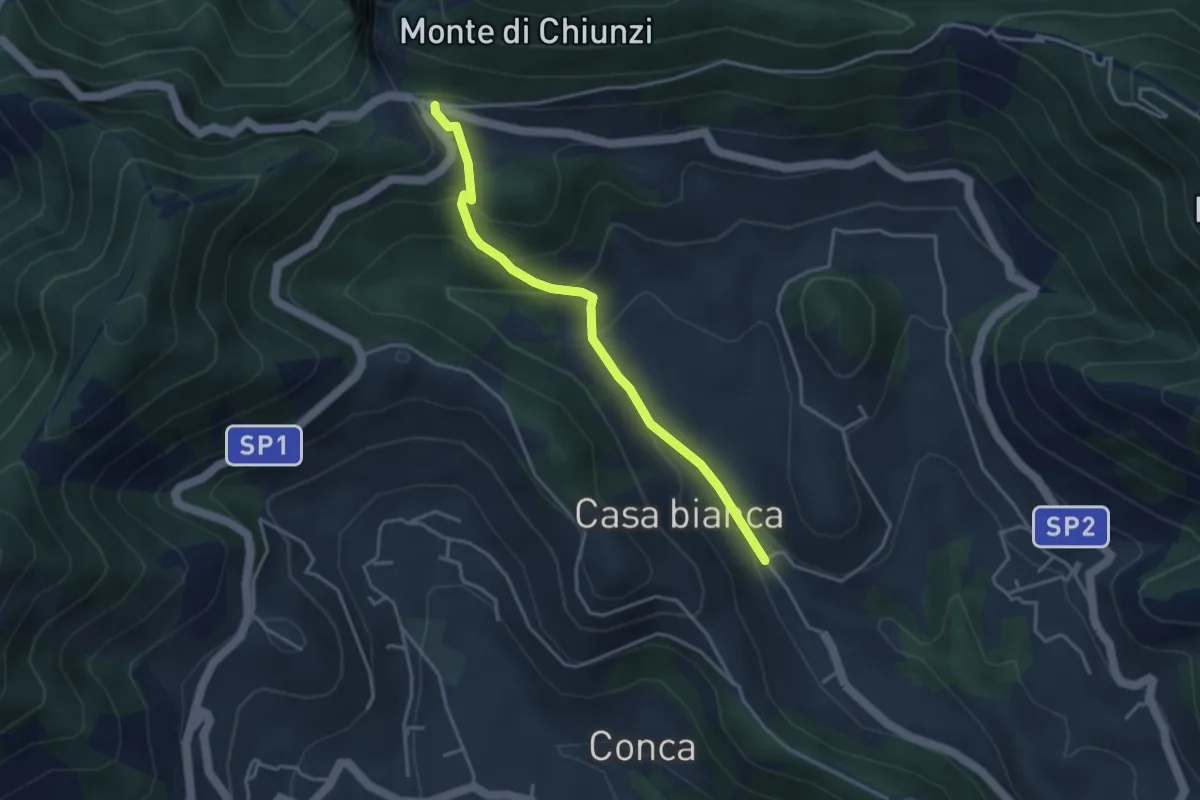
Easy · Trail
Incrocio 310 (Loc. Casa Lauro) – Valico di Chiunzi
3.8 km · ↑ 243 m · 1 h 26 min · 10 km away
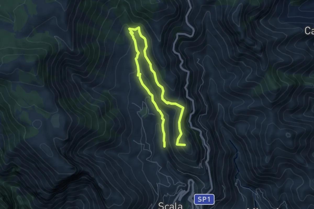
Medium · Summit
Incrocio 353 (Loc. Santa Caterina) – Incrocio 315
9.4 km · ↑ 504 m · 3 h 19 min · 10 km away
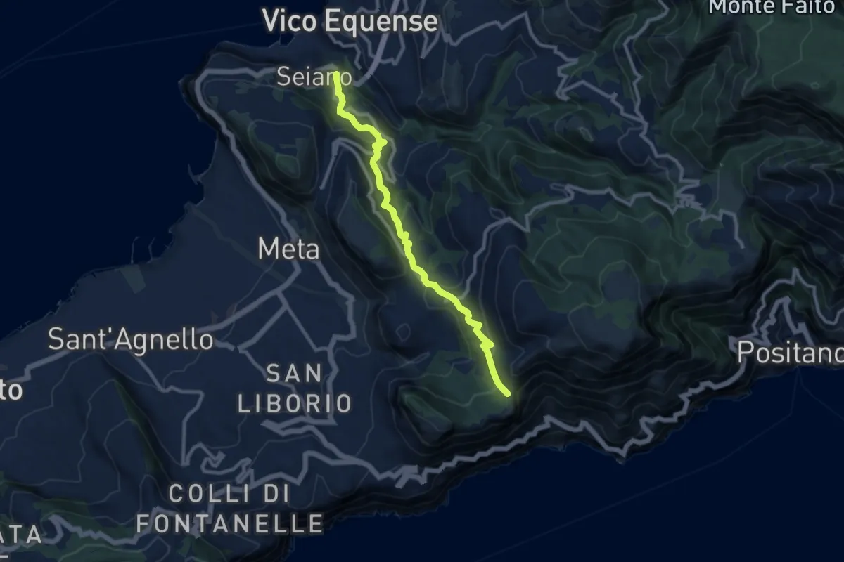
Medium · Trail
Seiano di Vico Equense – Incrocio 300
10.0 km · ↑ 564 m · 3 h 35 min · 10 km away
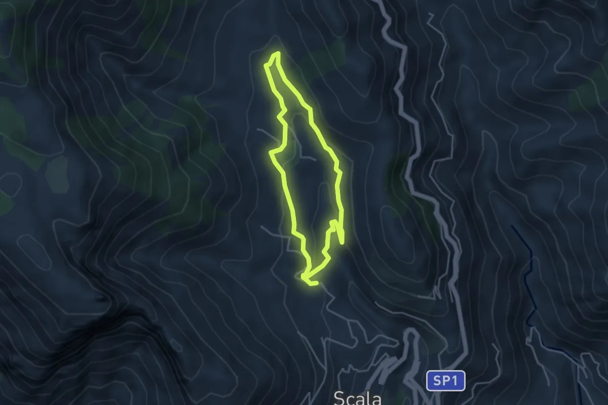
Medium · Trail
Fontana Carosa da Scala
3.6 km · ↑ 145 m · 1 h 12 min · 10 km away
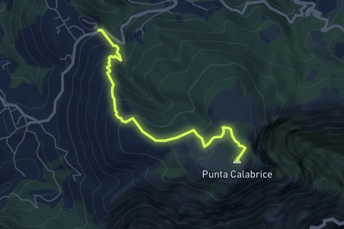
Medium · Summit
Via San Giovanni Bosco Preazzano – Incrocio 300 monte Comune
6.1 km · ↑ 430 m · 2 h 23 min · 10 km away
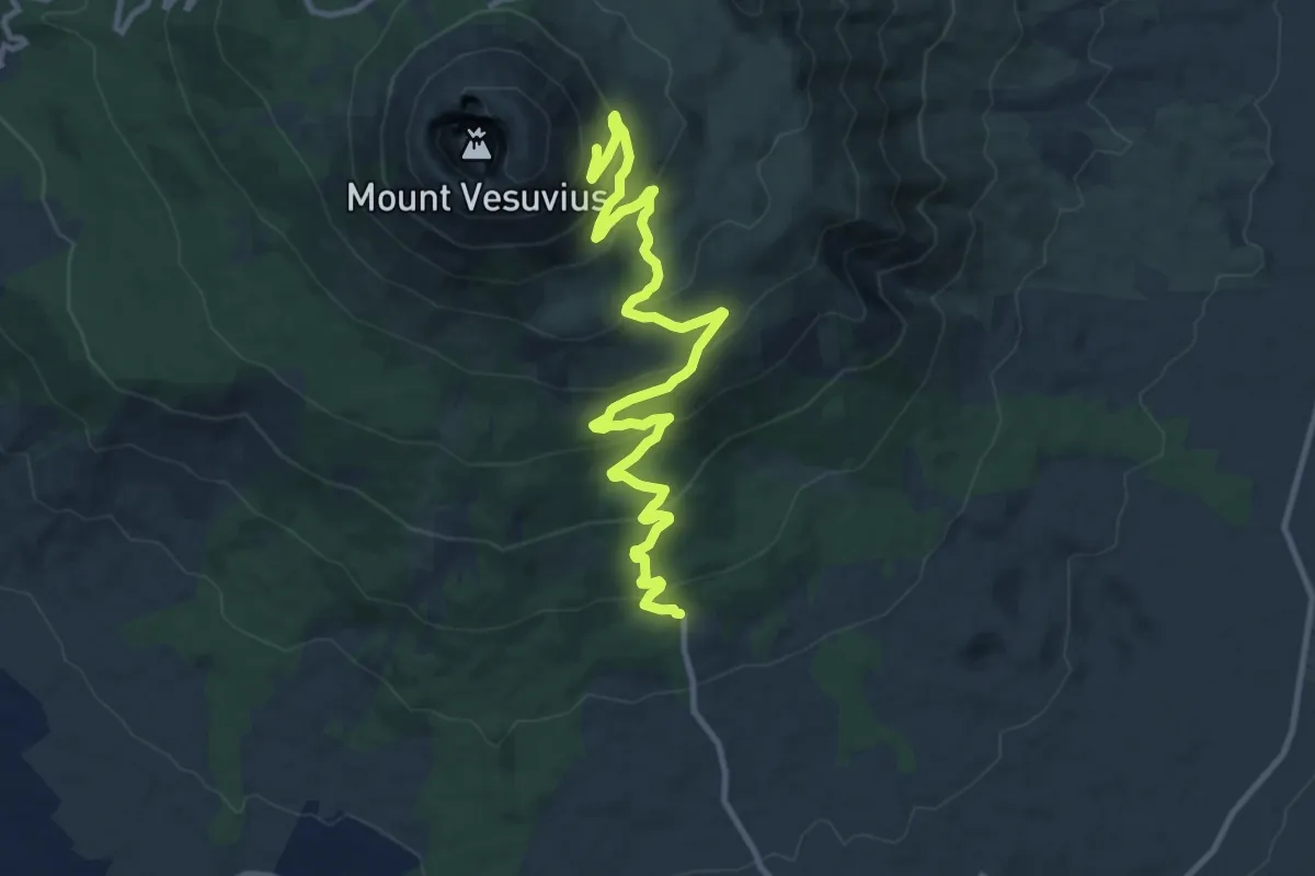
Medium · Trail
Sentiero 6: La Strada Matrone
14.0 km · ↑ 721 m · 4 h 52 min · 10 km away
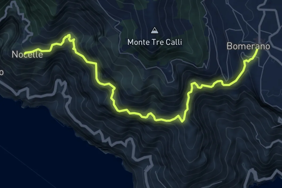
Demanding · Trail
Sentiero degli Dei
10.2 km · ↑ 1247 m · 5 h 6 min · 10 km away
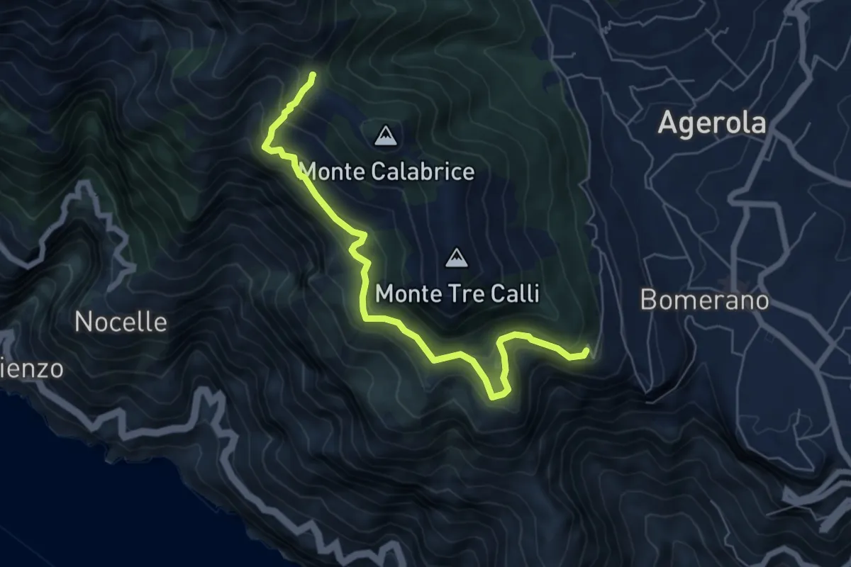
Medium · Summit
Via Paipo (Bomerano) – Capo Muro
6.7 km · ↑ 444 m · 2 h 33 min · 11 km away
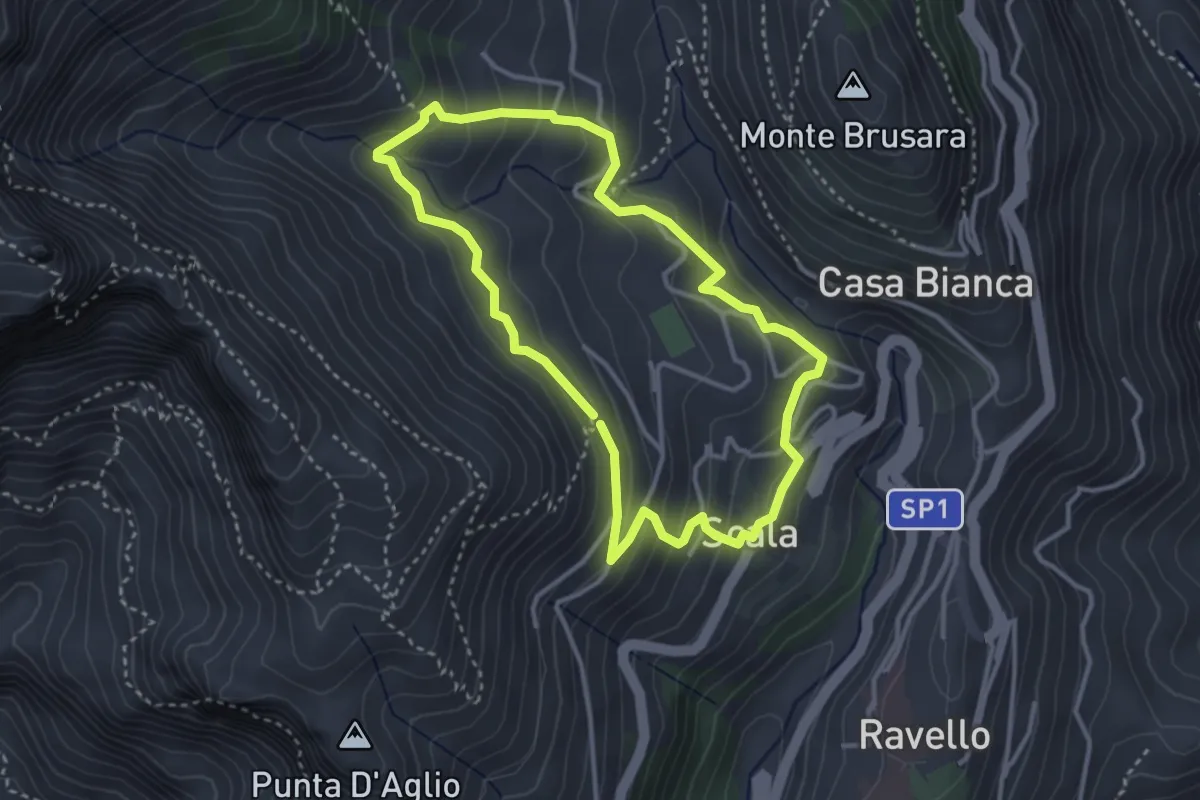
Medium · Trail
Anello di Fra Gerardo Sasso
3.5 km · ↑ 237 m · 1 h 23 min · 11 km away
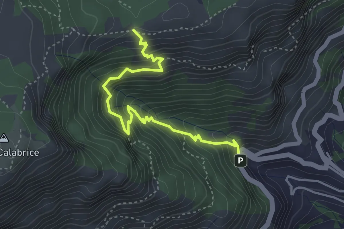
Medium · Trail
Bivio Montepertuso (Positano) – Incrocio 300
4.1 km · ↑ 527 m · 2 h 7 min · 11 km away
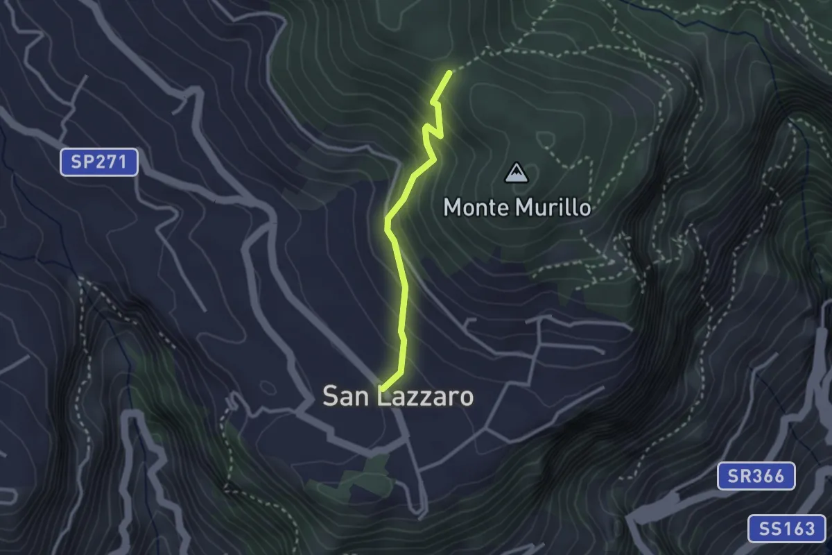
Medium · Trail
S.Lazzaro Piazza Avitabile – Incrocio 301 Monte
2.4 km · ↑ 226 m · 1 h 3 min · 11 km away
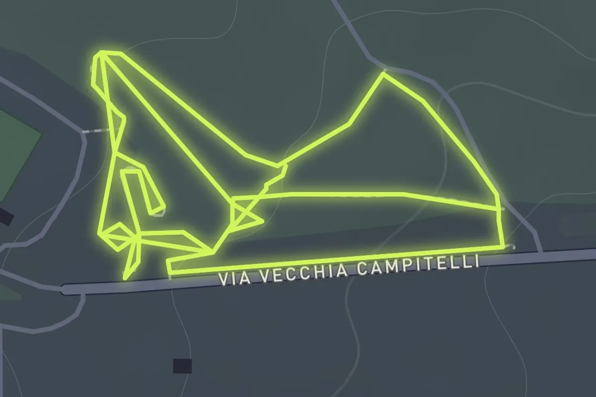
Easy · Trail
Sentiero 11: La Pineta Di Terzigno
2.1 km · ↑ 31 m · 36 min · 11 km away
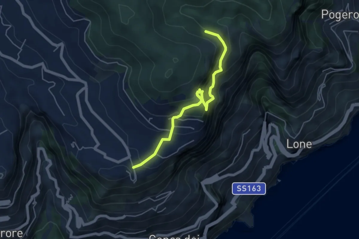
Expert · Trail
Ferrata di Cospita
4.7 km · ↑ 493 m · 2 h 11 min · 11 km away
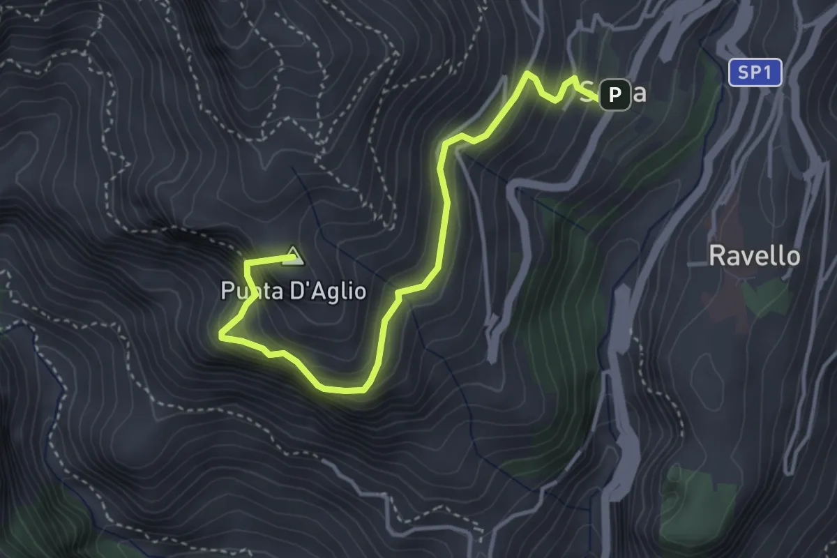
Medium · Summit
Scala – Incrocio 301 (loc. Pellagra)
4.4 km · ↑ 683 m · 2 h 32 min · 11 km away
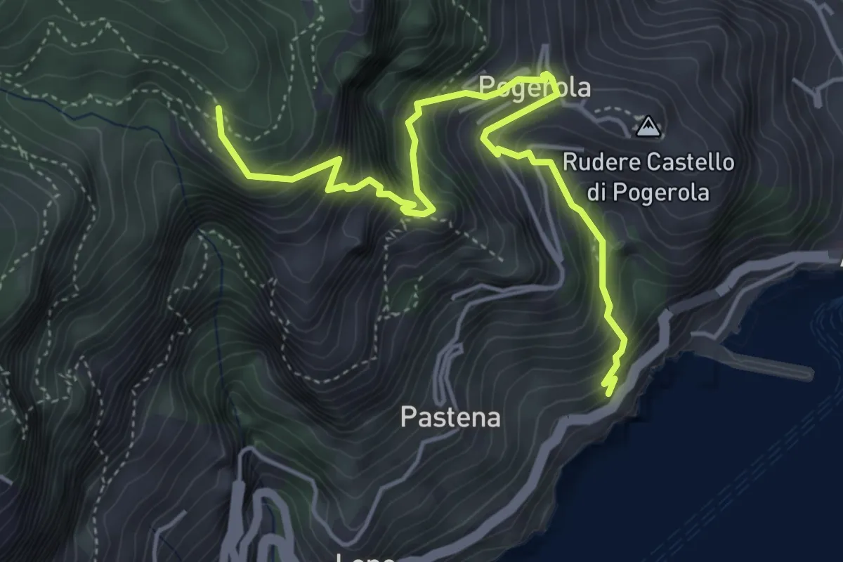
Medium · Trail
Sentiero della Madonna dei Fondi
5.6 km · ↑ 740 m · 2 h 56 min · 11 km away
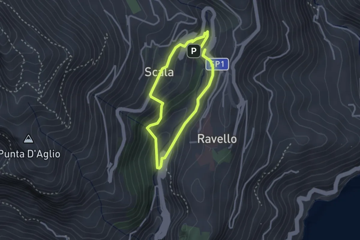
Easy · Trail
Anello del Dragone
2.3 km · ↑ 139 m · 53 min · 11 km away
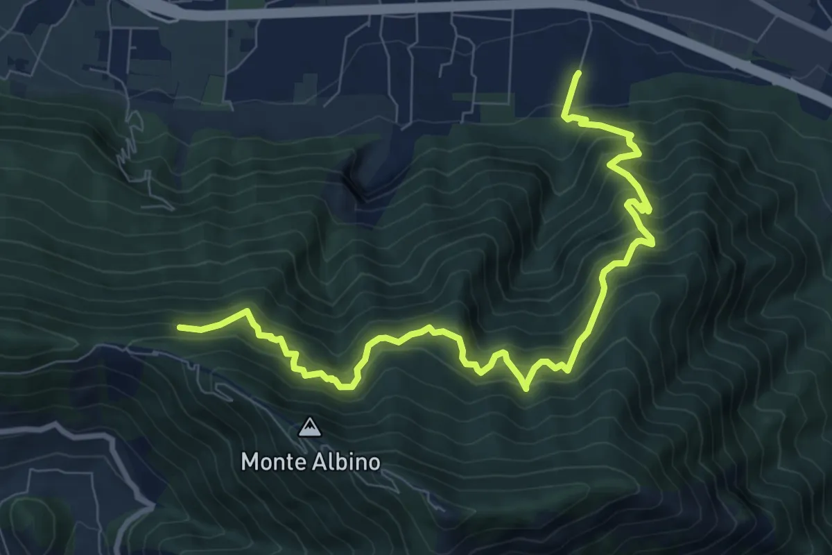
Demanding · Trail
Loc. Petraro Pucciano (Nocera Inf.) – Incrocio 316
10.7 km · ↑ 1362 m · 5 h 29 min · 11 km away
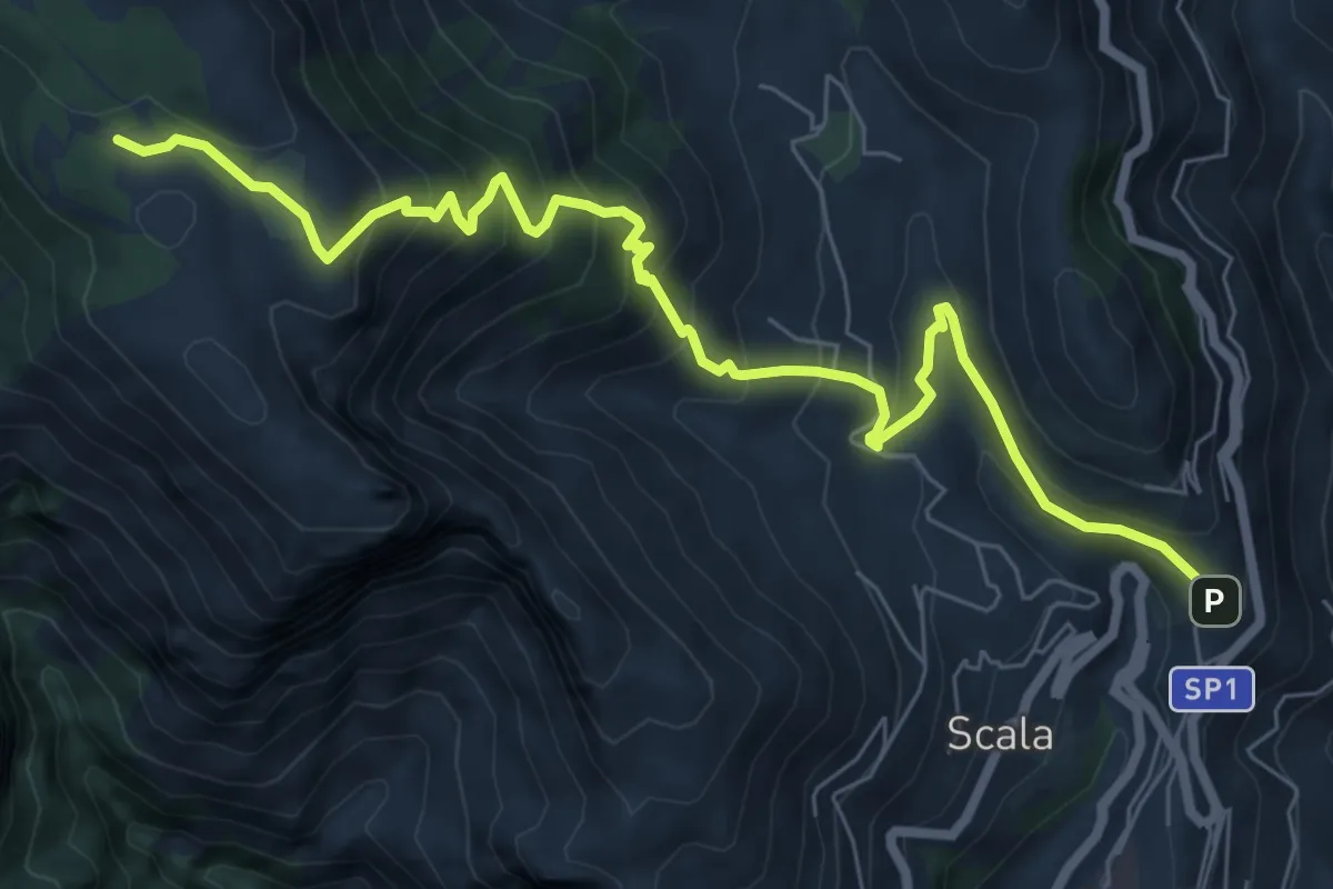
Medium · Trail
Sentiero di Santa Maria ai Monti
9.2 km · ↑ 753 m · 3 h 48 min · 11 km away
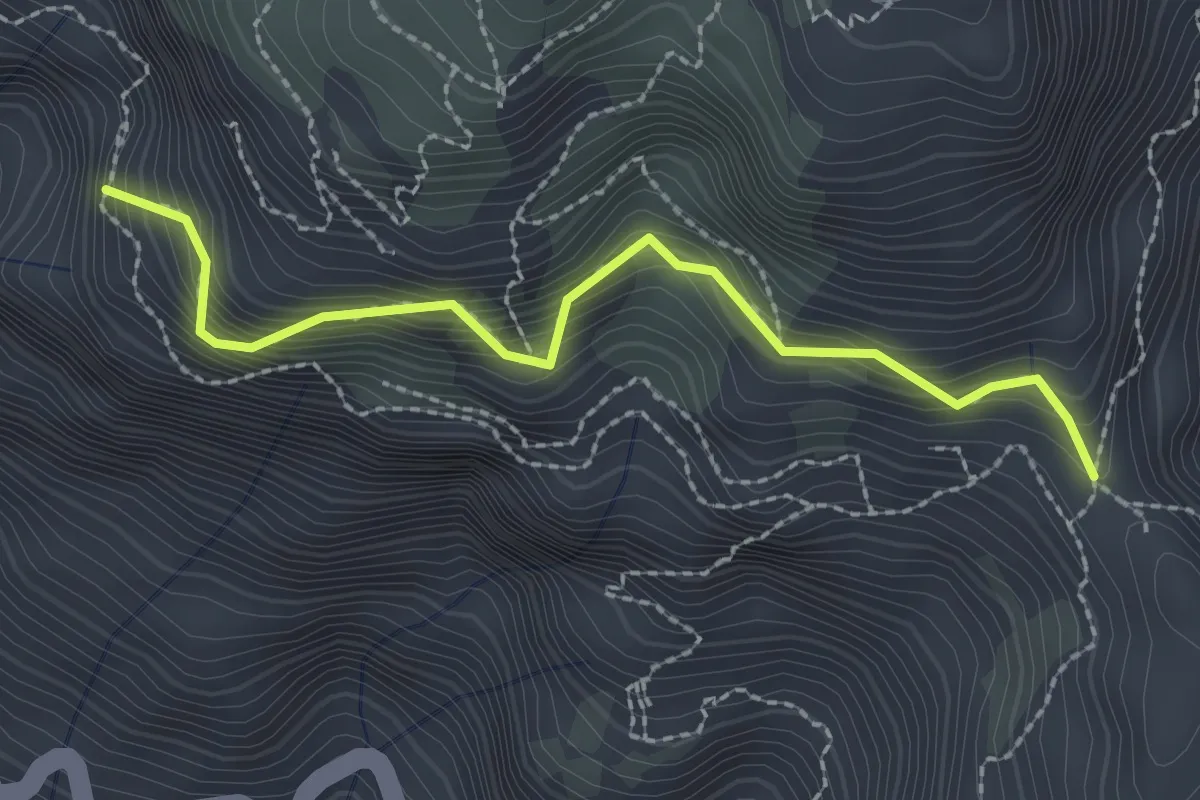
Medium · Trail
Variante alta del Sentiero degli Dei
2.6 km · ↑ 406 m · 1 h 29 min · 11 km away
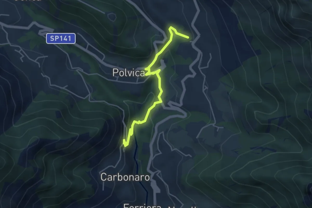
Medium · Trail
Incrocio 310 – Incrocio 310 (Paterno Sant'Arcangelo)
4.4 km · ↑ 211 m · 1 h 30 min · 11 km away
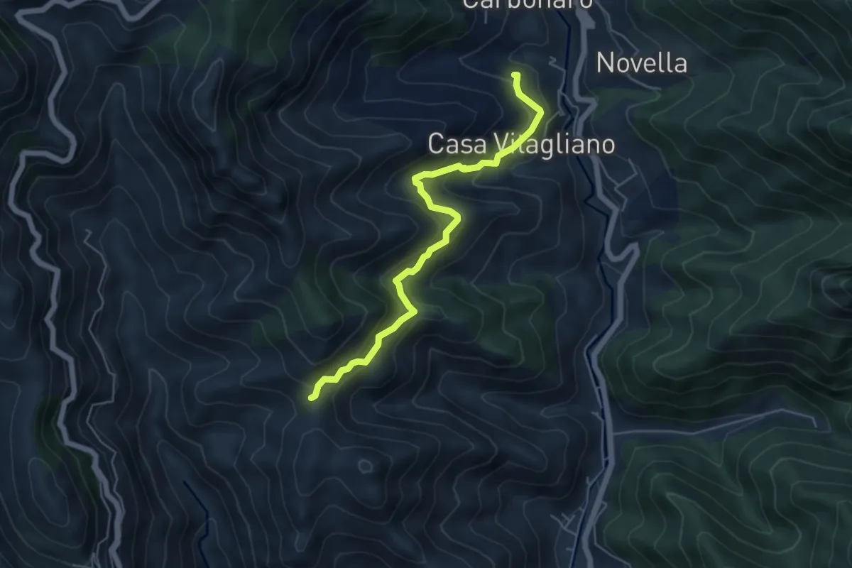
Medium · Trail
Paterno Sant'Elia (Tramonti) – Località Mandrino
5.6 km · ↑ 513 m · 2 h 26 min · 11 km away
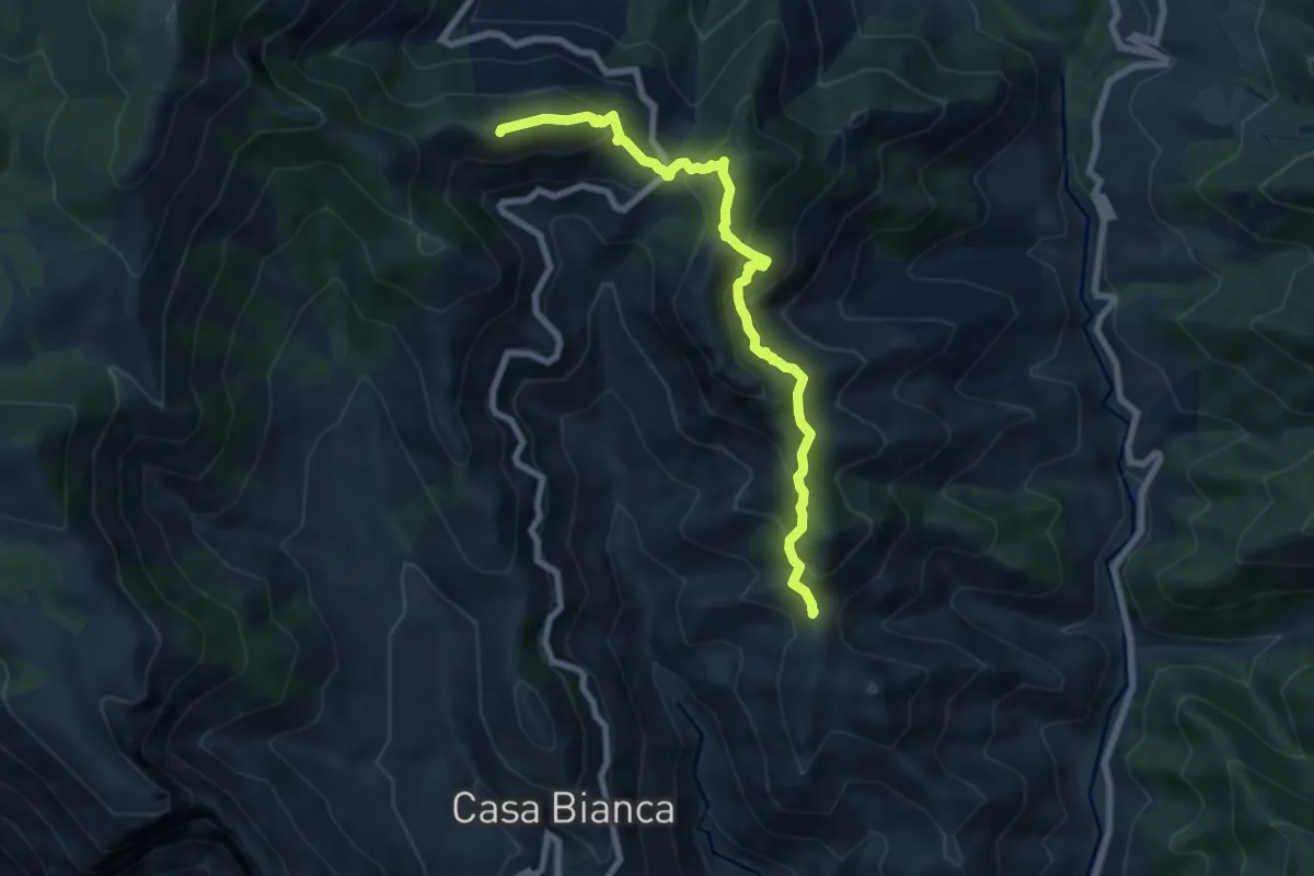
Medium · Summit
Innesto 315a (Loc. Mandrino) – Incrocio 300
8.2 km · ↑ 733 m · 3 h 32 min · 11 km away
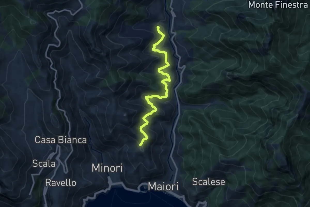
Medium · Trail
Sentiero delle Formichelle
9.4 km · ↑ 699 m · 3 h 44 min · 11 km away
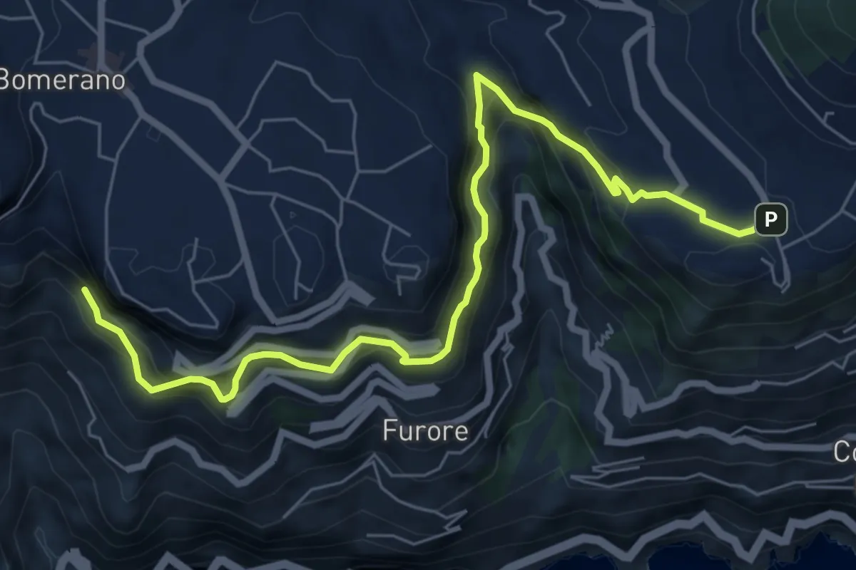
Medium · Trail
Sentiero di Abu Tabela
8.2 km · ↑ 718 m · 3 h 29 min · 12 km away
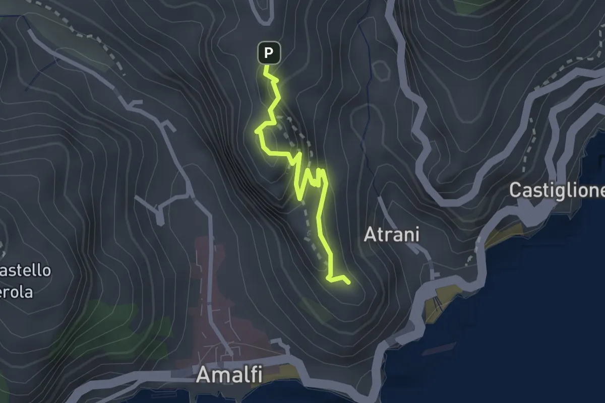
Easy · Trail
Pontone (Scala) – Torre dello Ziro
2.2 km · ↑ 152 m · 51 min · 12 km away
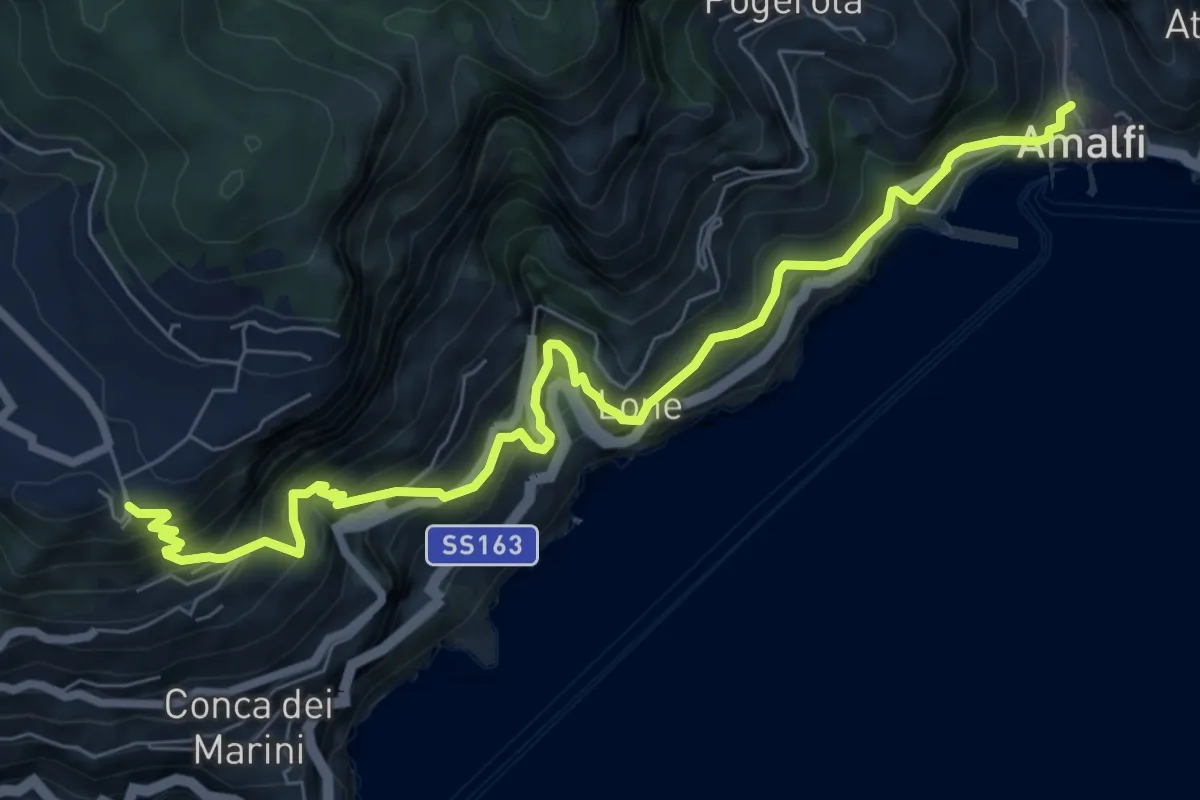
Demanding · Trail
Via Maestra dei Villaggi
9.4 km · ↑ 1077 m · 4 h 33 min · 12 km away
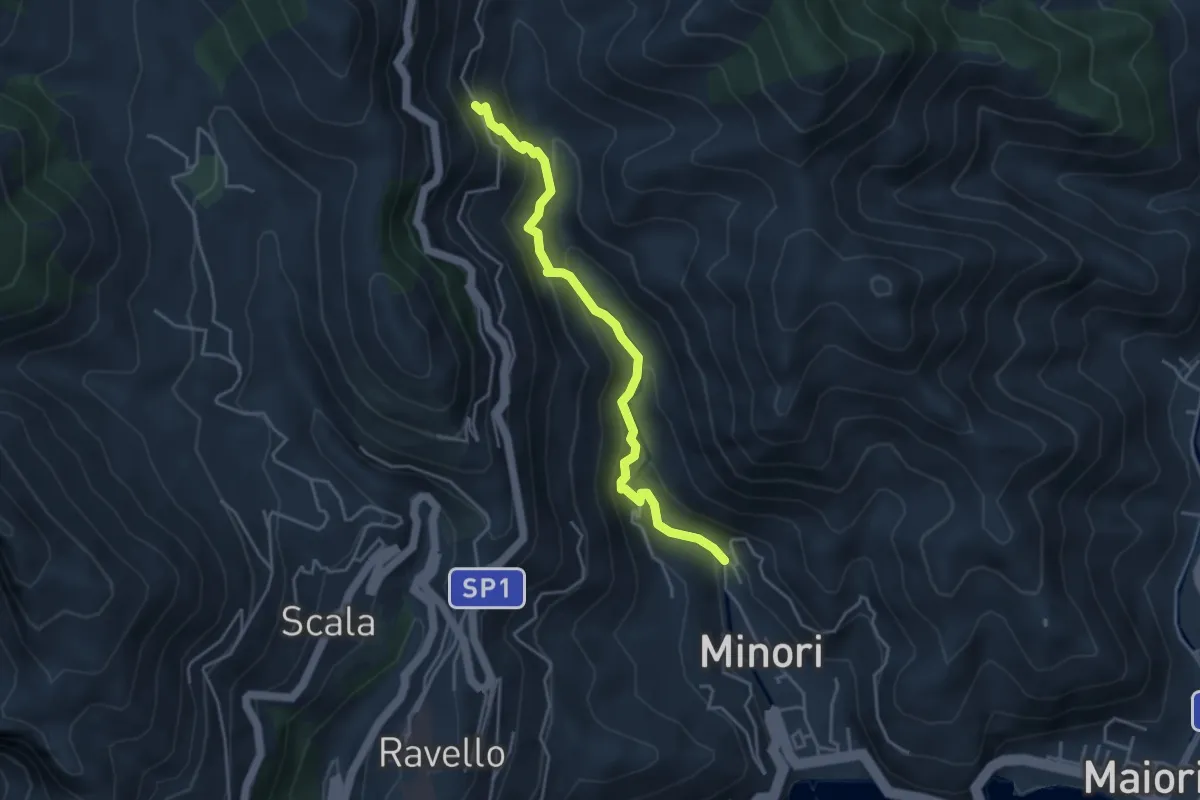
Medium · Trail
Loc. Villamena (Minori) – Loc. Sambuco
4.5 km · ↑ 332 m · 1 h 47 min · 12 km away
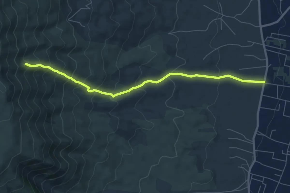
Medium · Trail
Sentiero 7: Il Vallone della Profica
6.8 km · ↑ 549 m · 2 h 48 min · 12 km away
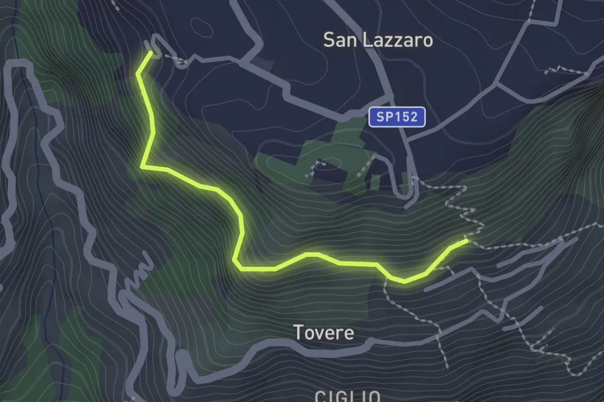
Medium · Trail
San Lazzaro (Agerola) - Incrocio 361 – Incrocio 354a
2.5 km · ↑ 312 m · 1 h 16 min · 12 km away
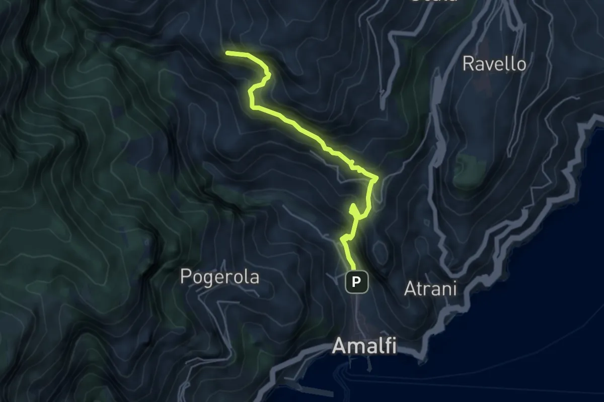
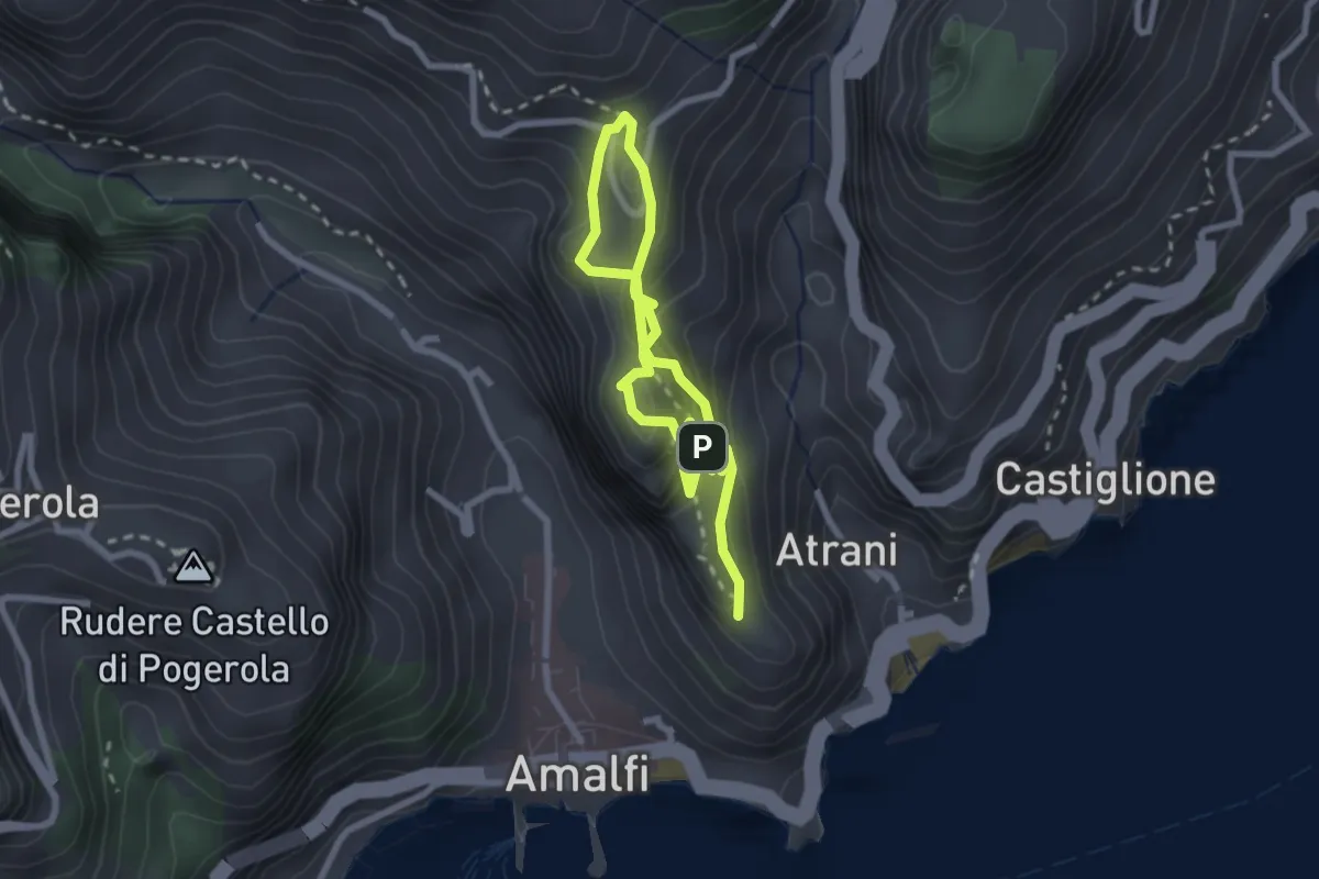
Medium · Trail
Amalfi – Punta D'Aglio
5.2 km · ↑ 623 m · 2 h 35 min · 12 km away
Easy · Trail
La Torre dello Ziro
2.0 km · ↑ 143 m · 50 min · 12 km away
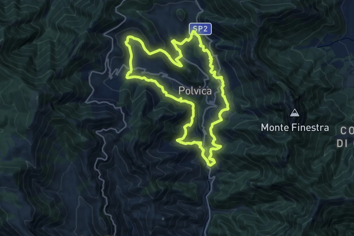
Medium · Trail
Sentiero delle 13 Chiese
15.0 km · ↑ 589 m · 5 h 2 min · 12 km away
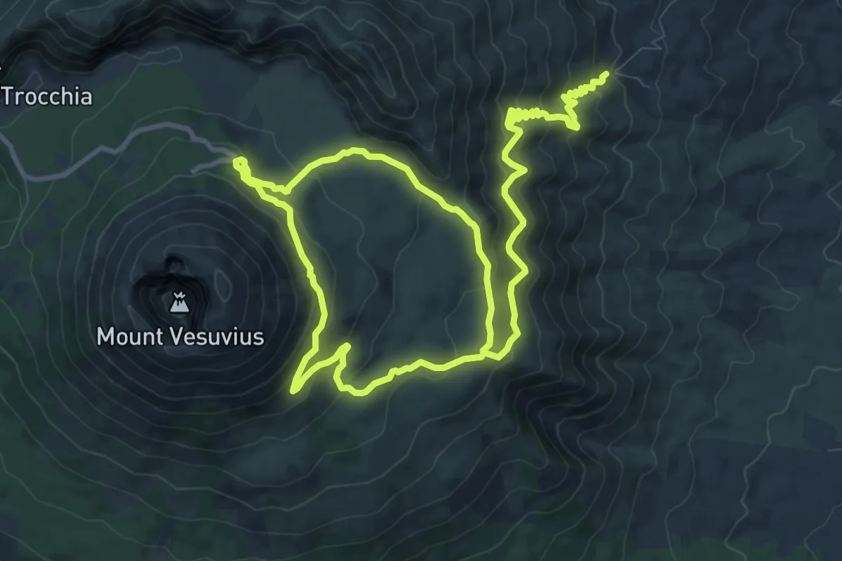
Medium · Summit
Sentiero 1: La Valle dell'Inferno
9.5 km · ↑ 399 m · 3 h 22 min · 12 km away
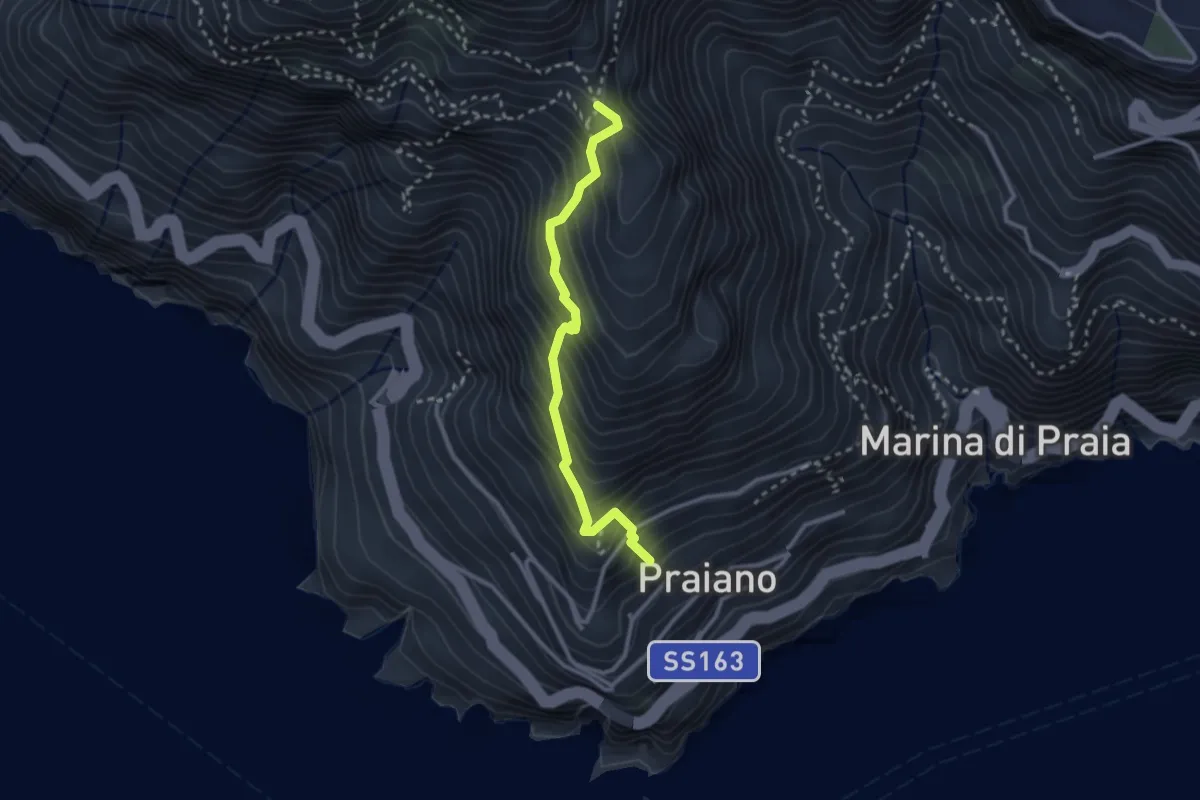
Medium · Trail
Praiano – Il Pinnacolo
2.9 km · ↑ 372 m · 1 h 30 min · 12 km away
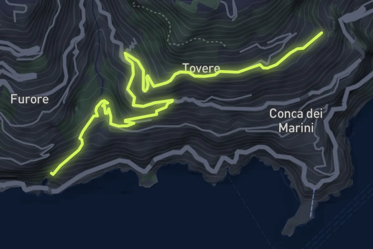
Medium · Trail
Sentiero dei Pipistrelli Impazziti
7.2 km · ↑ 523 m · 2 h 50 min · 12 km away
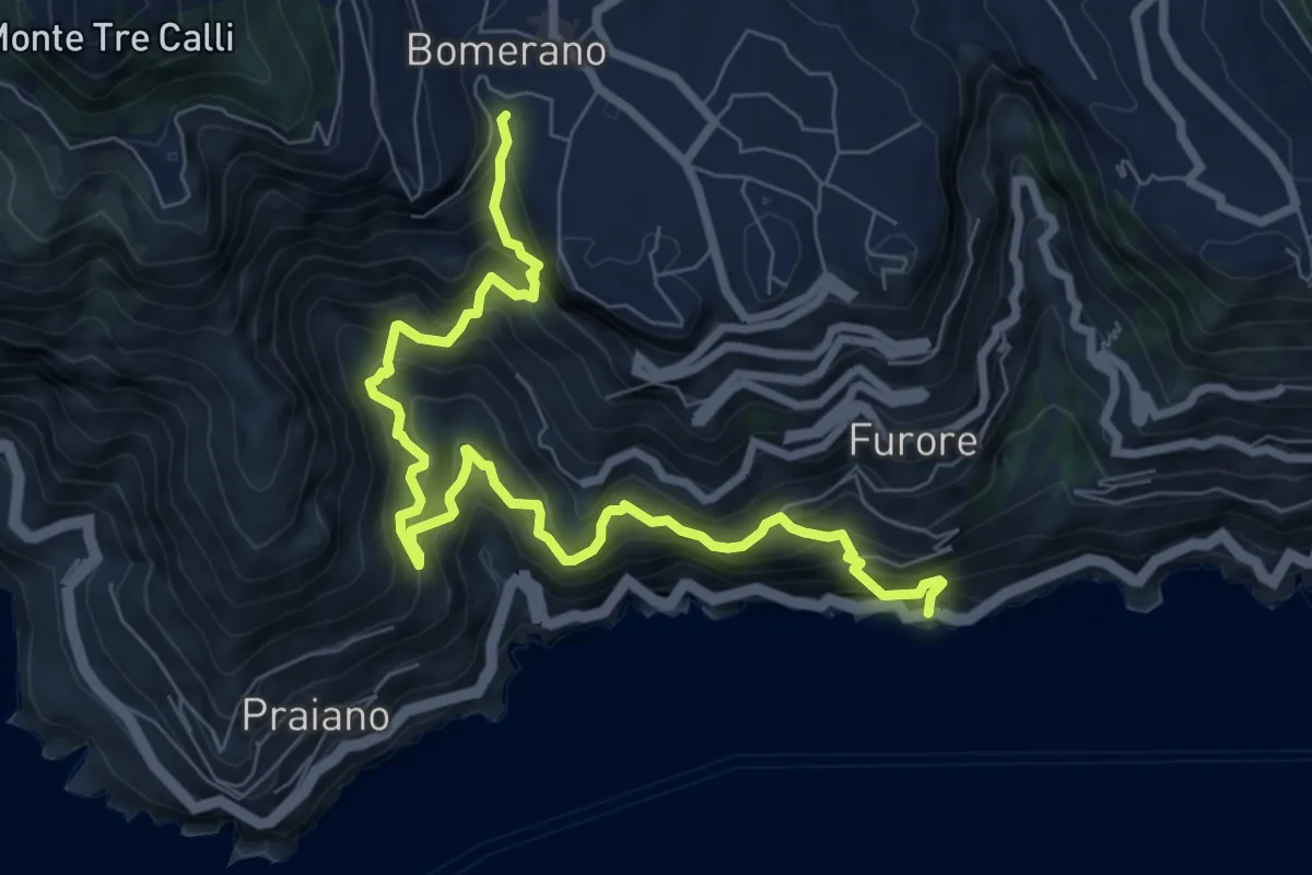
Demanding · Trail
Fiordo di Furore – Bomerano
9.8 km · ↑ 1335 m · 5 h 12 min · 12 km away
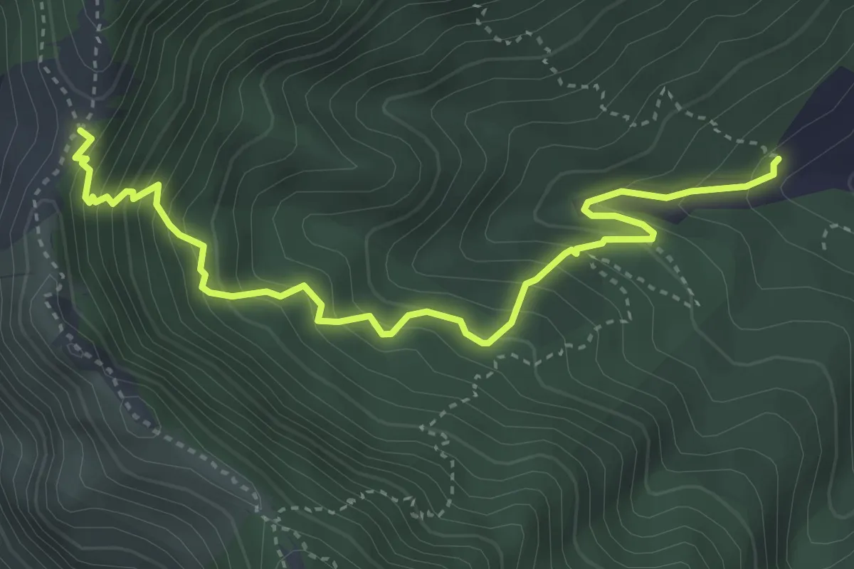
Medium · Trail
Incrocio 312 – Tuoro Sant'Angelo
4.9 km · ↑ 555 m · 2 h 22 min · 12 km away
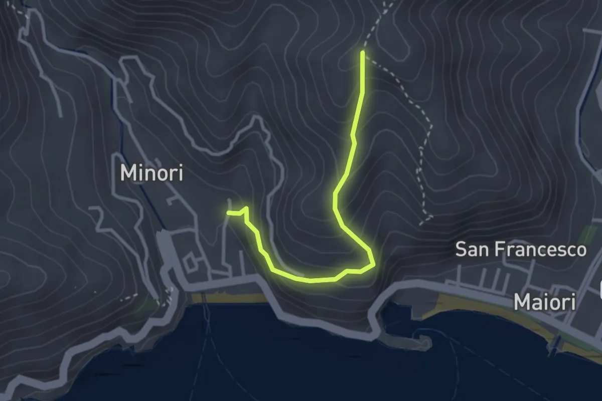
Medium · Trail
Minori – Incrocio 315a
2.8 km · ↑ 273 m · 1 h 15 min · 12 km away
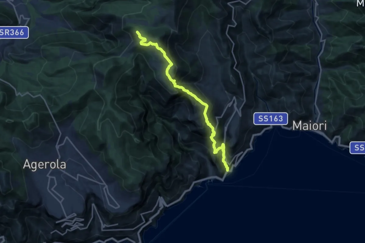
Demanding · Trail
Atrani – Incrocio 300
15.2 km · ↑ 1463 m · 6 h 45 min · 12 km away
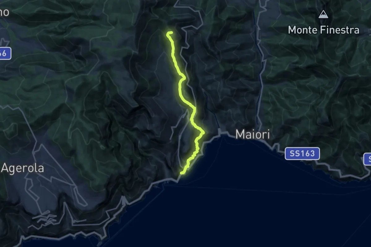
Demanding · Summit
Atrani – Loc. Cerreto
13.7 km · ↑ 1139 m · 5 h 42 min · 12 km away
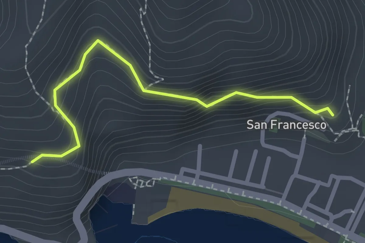
Easy · Trail
Via dei Limoni
2.1 km · ↑ 188 m · 55 min · 13 km away
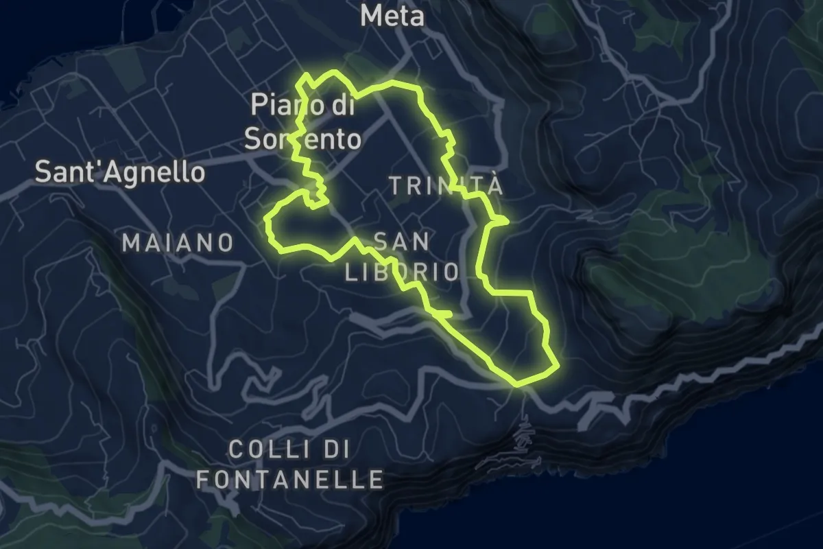
Medium · Trail
I casali di Piano
8.2 km · ↑ 260 m · 2 h 37 min · 13 km away