Trails near Sarno
54 hikes starting within 15 km, nearest first.
Nearest first, page 1 of 2
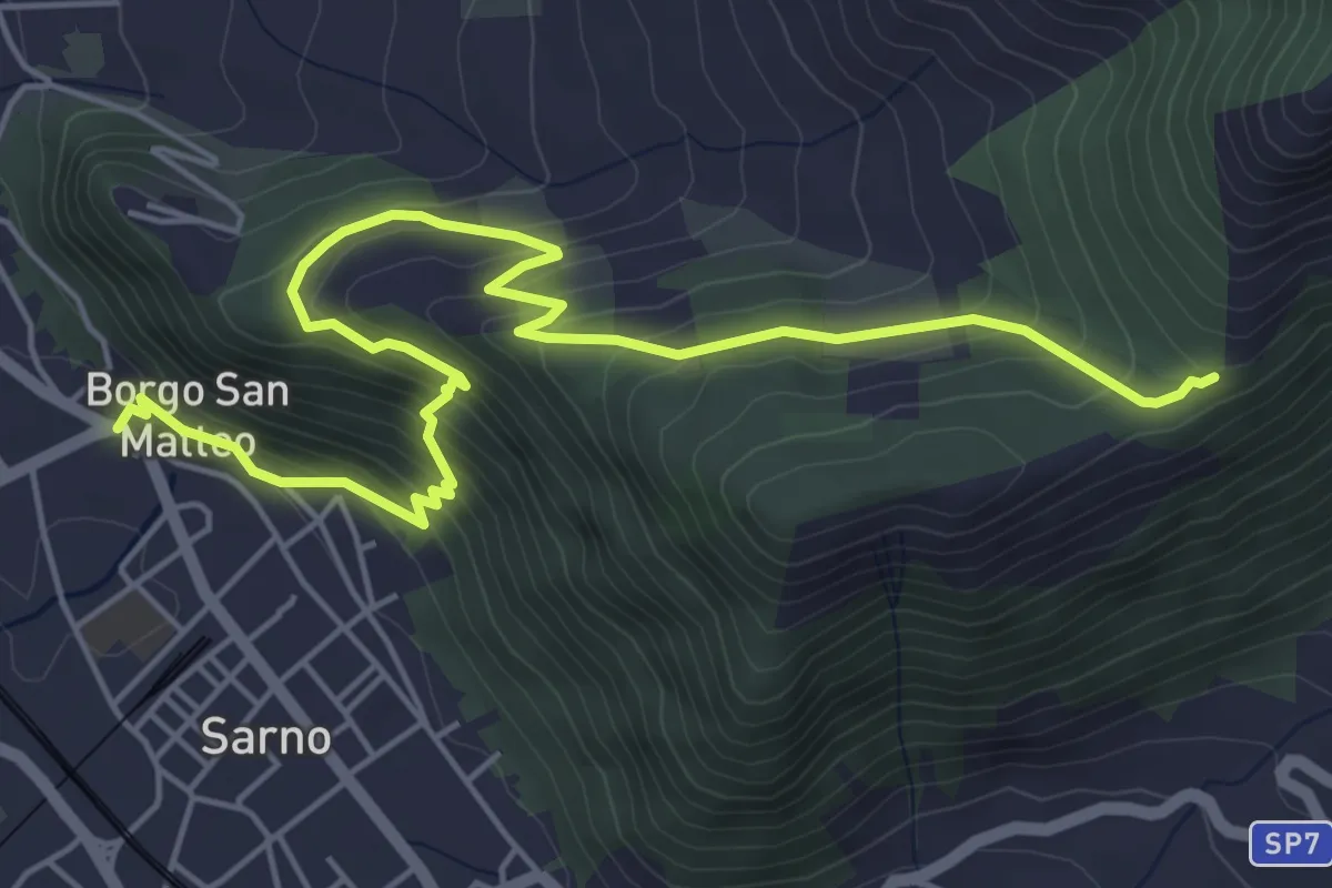
Medium · Trail
Sarno (Piazza Garibaldi) – Pian della Colla
7.4 km · ↑ 519 m · 2 h 52 min · 1 km away
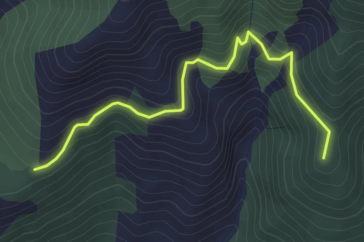
Medium · Summit
Pian della Colla (Sarno) – Cappella di Siano
4.0 km · ↑ 419 m · 1 h 52 min · 2 km away
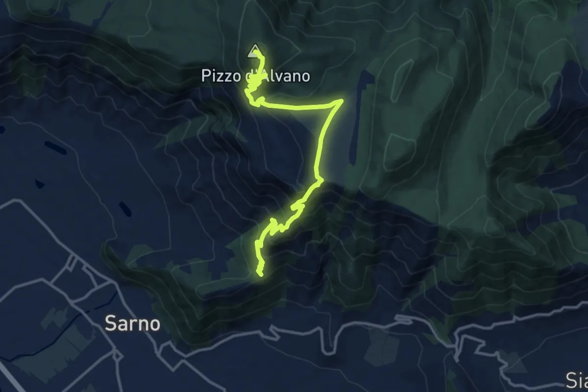
Demanding · Summit
Pian della Colla (Sarno) – Pizzo d'Alvano
13.2 km · ↑ 807 m · 4 h 52 min · 2 km away
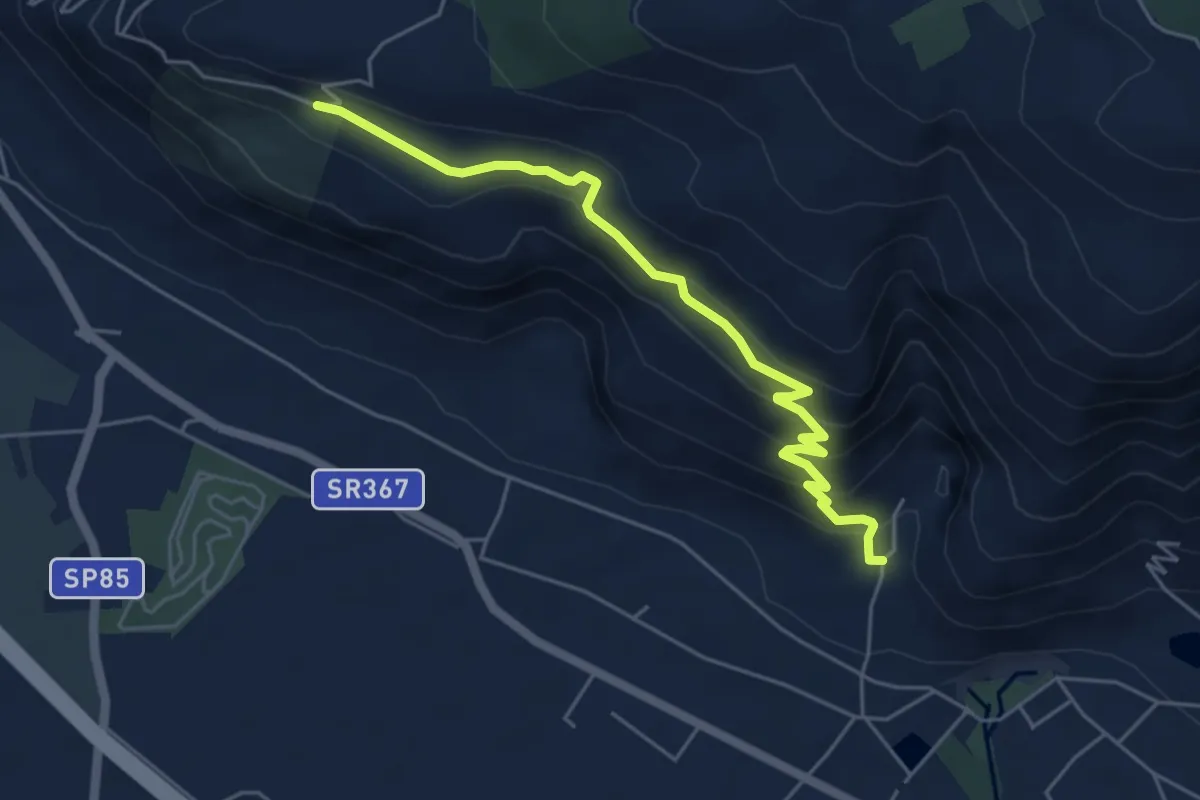
Medium · Trail
vallone monaco -salita delle pezze
5.8 km · ↑ 323 m · 2 h 4 min · 4 km away
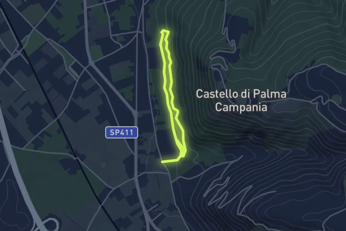
Easy · Trail
Bosco Crocelle
5.2 km · ↑ 115 m · 1 h 28 min · 7 km away
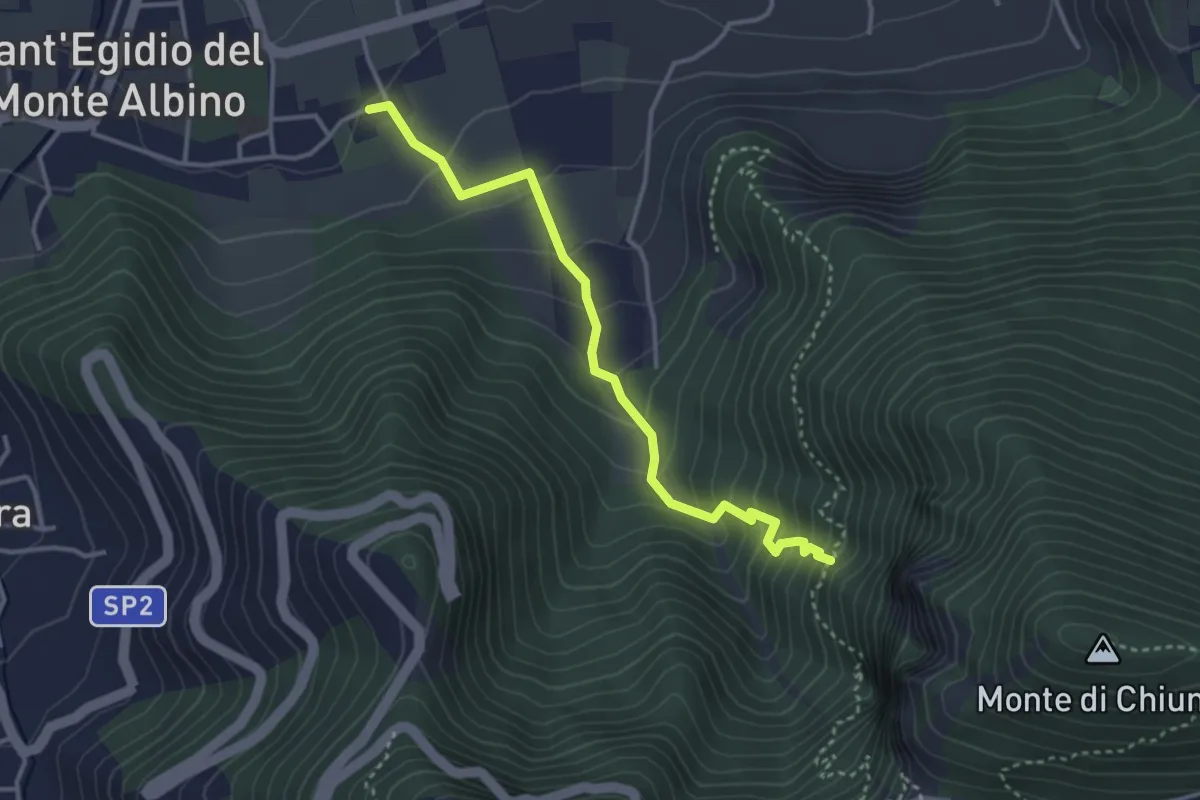
Medium · Trail
Sant'Egidio del Monte Albino – Incrocio 320
3.8 km · ↑ 303 m · 1 h 34 min · 10 km away
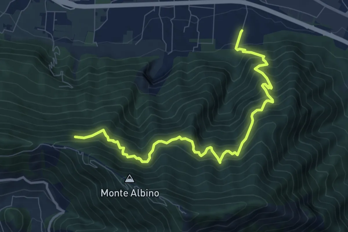
Demanding · Trail
Loc. Petraro Pucciano (Nocera Inf.) – Incrocio 316
10.7 km · ↑ 1362 m · 5 h 29 min · 10 km away
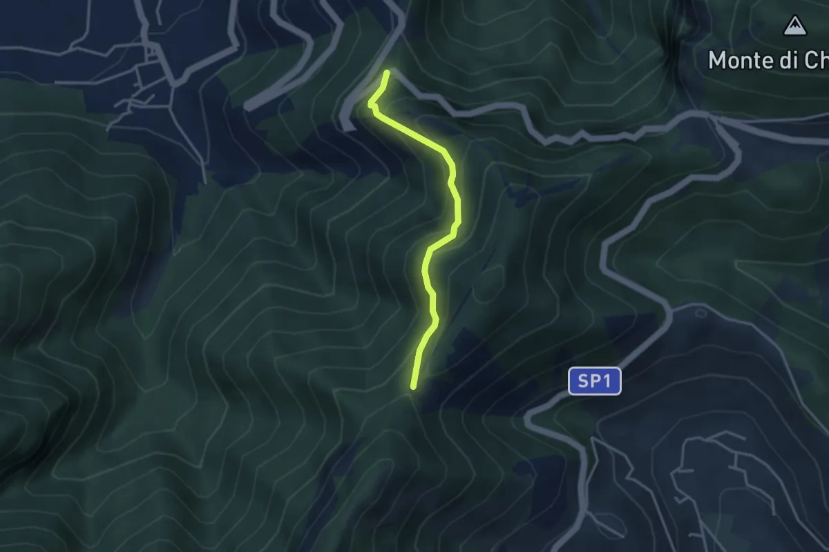
Medium · Trail
Corbara – Tuoro di Cesarano
3.1 km · ↑ 293 m · 1 h 22 min · 10 km away
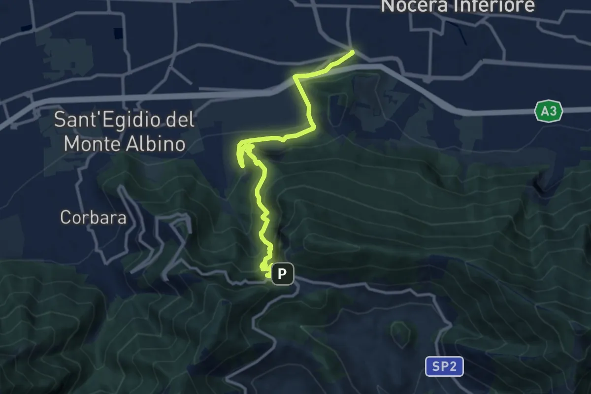
Demanding · Trail
Santa Chiara (Nocera Inferiore) – Valico di Chiunzi
10.9 km · ↑ 833 m · 4 h 23 min · 10 km away
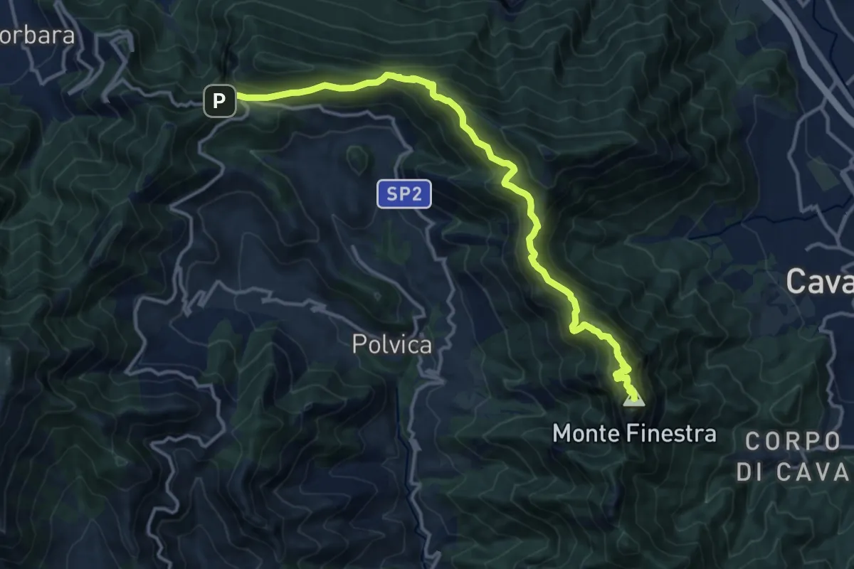
Demanding · Summit
Avvocata – Valico di Chiunzi
15.5 km · ↑ 960 m · 5 h 45 min · 10 km away
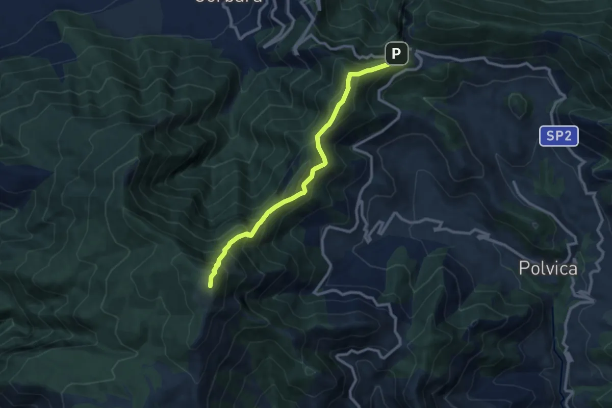
Demanding · Summit
Valico di Chiunzi – Rifugio Santa Maria dei Monti
8.9 km · ↑ 885 m · 4 h 2 min · 10 km away
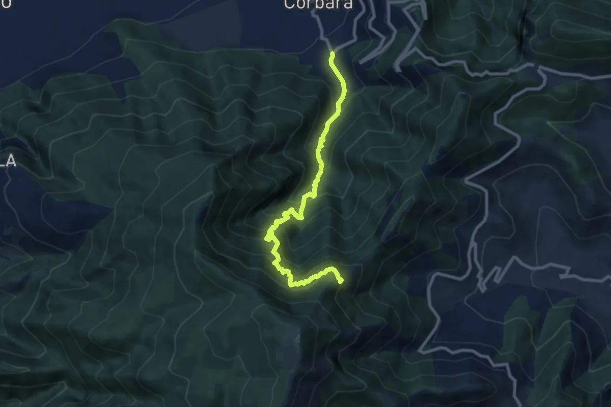
Demanding · Trail
Località Sala (Corbara) – Incrocio 300 (Vena Scalandrone)
8.8 km · ↑ 1089 m · 4 h 26 min · 10 km away
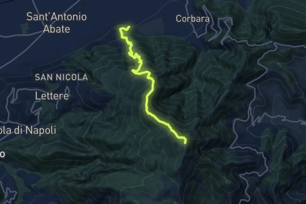
Demanding · Summit
Cimitero Vecchio di Angri – M.Cerreto
12.7 km · ↑ 1374 m · 5 h 59 min · 11 km away
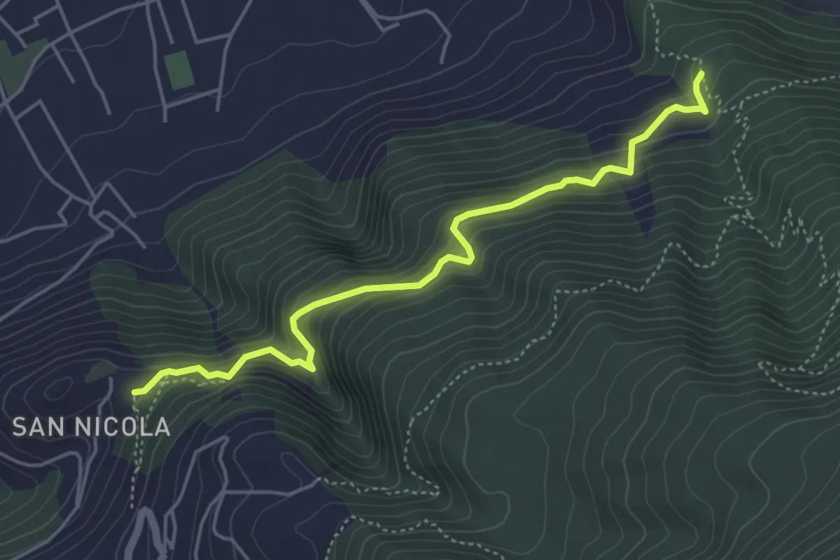
Medium · Trail
Sentiero del Castello di Lettere
5.3 km · ↑ 459 m · 2 h 14 min · 11 km away
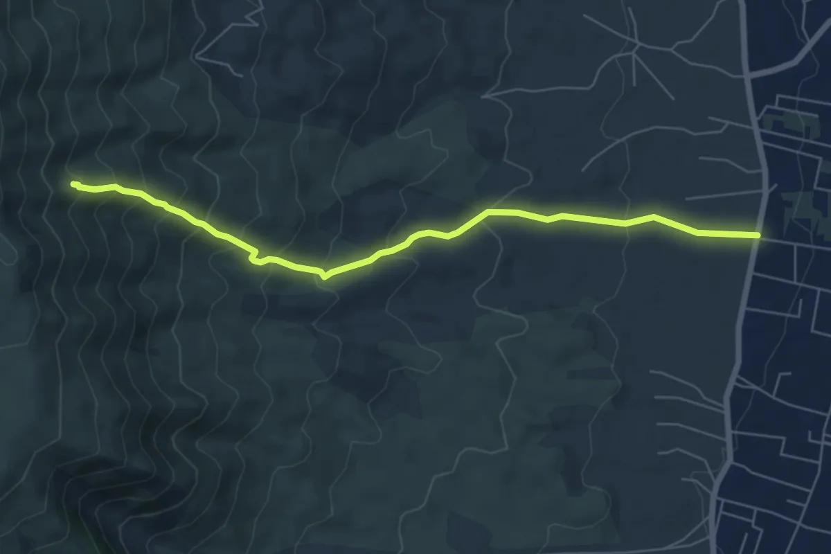
Medium · Trail
Sentiero 7: Il Vallone della Profica
6.8 km · ↑ 549 m · 2 h 48 min · 11 km away
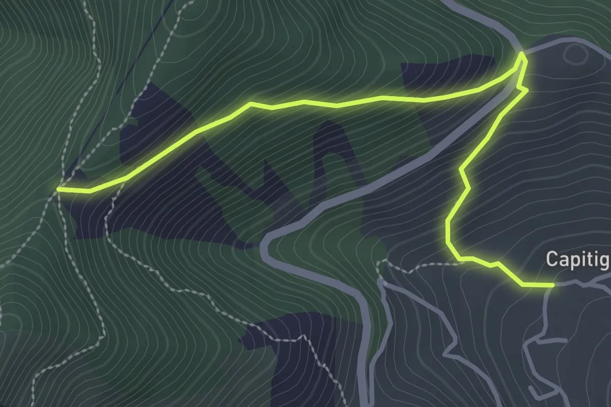
Medium · Trail
Capitignano (Tramonti) – Tuoro di Cesarano
3.8 km · ↑ 360 m · 1 h 40 min · 11 km away
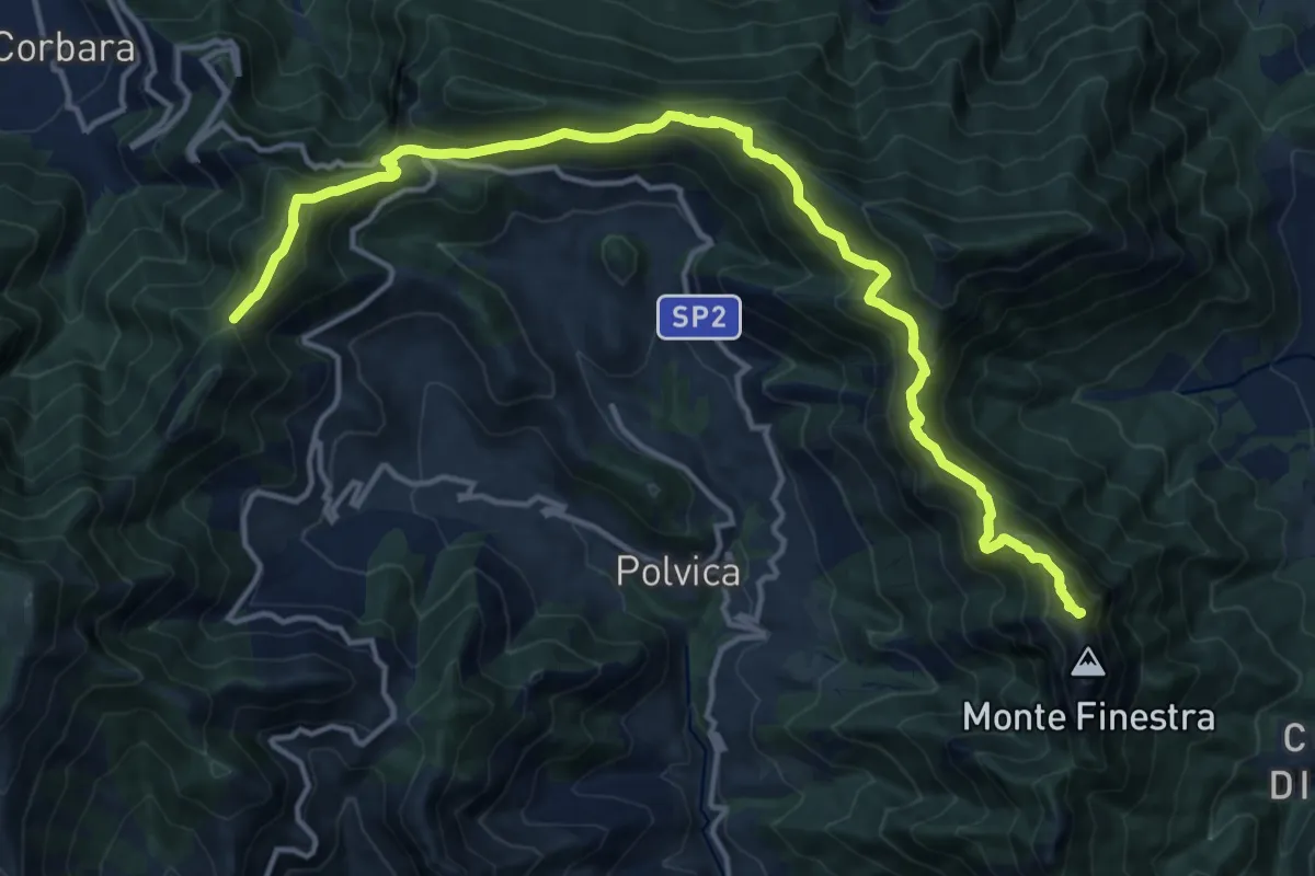
Demanding · Summit
Alta Via dei Monti Lattari - 03
17.8 km · ↑ 1127 m · 6 h 39 min · 11 km away
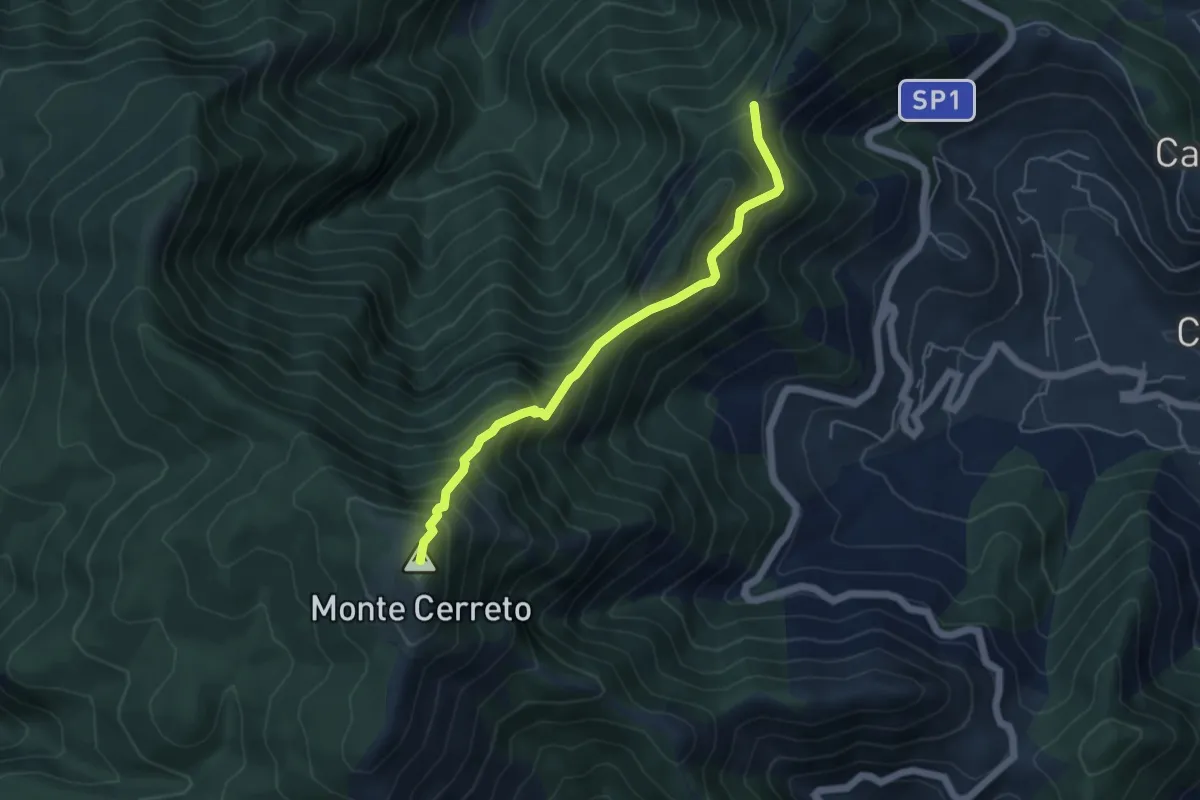
Demanding · Summit
Alta Via dei Monti Lattari - 04
5.2 km · ↑ 612 m · 2 h 34 min · 11 km away
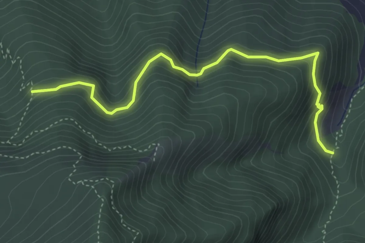
Medium · Trail
Sentiero della Casa rossa
4.8 km · ↑ 429 m · 2 h 3 min · 11 km away
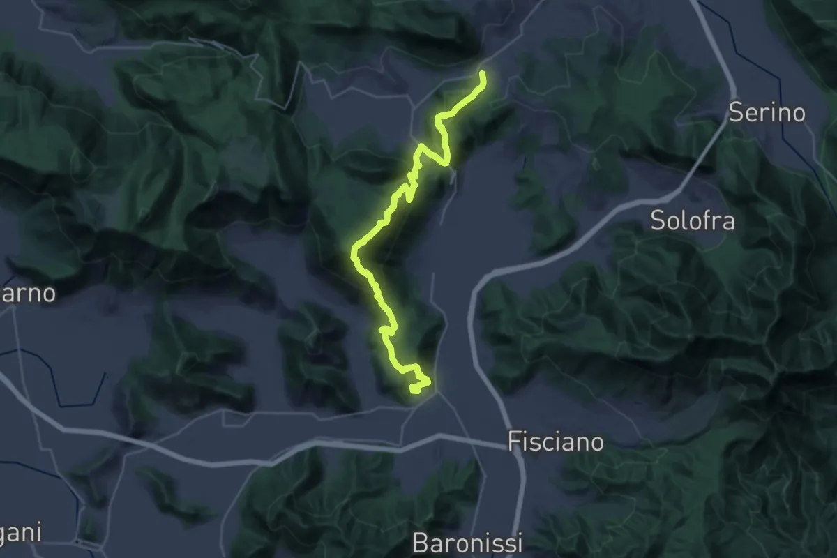
Demanding · Trail
Contrada – Mercato San Severino
15.9 km · ↑ 1073 m · 6 h 11 min · 12 km away
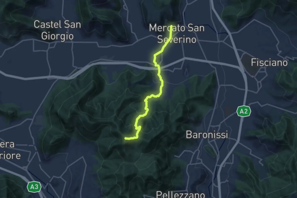
Medium · Summit
Mercato San Severino – Varco della Foce
13.2 km · ↑ 716 m · 4 h 40 min · 12 km away
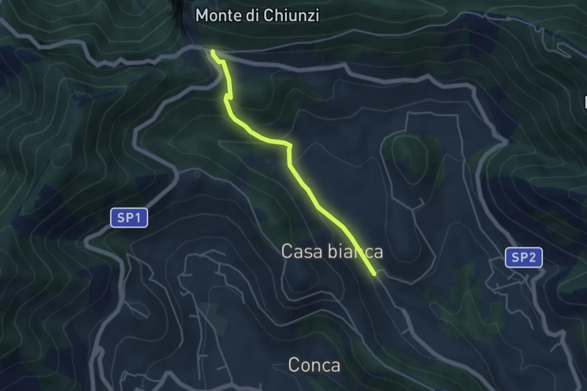
Easy · Trail
Incrocio 310 (Loc. Casa Lauro) – Valico di Chiunzi
3.8 km · ↑ 243 m · 1 h 26 min · 12 km away
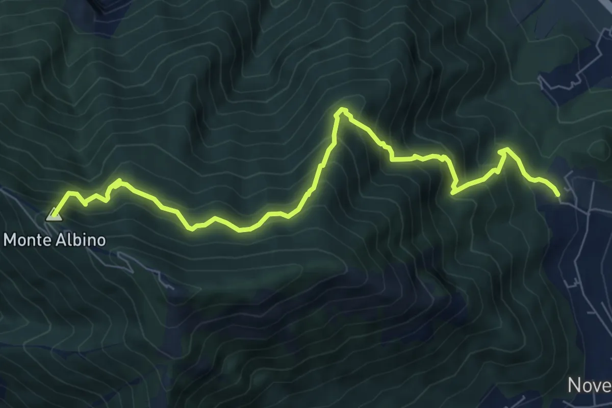
Demanding · Summit
San Martino (Cava de' Tirreni) – Loc. Le Chiancolelle
8.8 km · ↑ 1007 m · 4 h 15 min · 12 km away
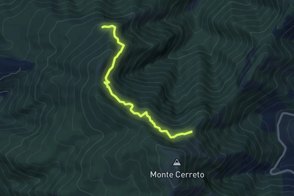
Medium · Trail
Sentiero del professore
5.7 km · ↑ 602 m · 2 h 40 min · 12 km away
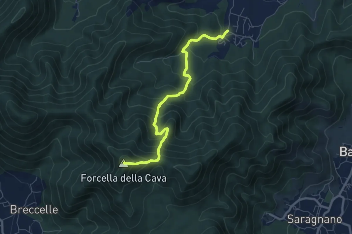
Medium · Summit
Spiano (Mercato S. Severino) – Salerno
6.8 km · ↑ 586 m · 2 h 53 min · 12 km away
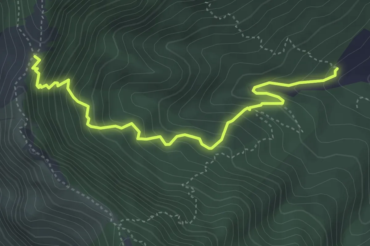
Medium · Trail
Incrocio 312 – Tuoro Sant'Angelo
4.9 km · ↑ 555 m · 2 h 22 min · 12 km away
Easy · Trail
Sentiero 11: La Pineta Di Terzigno
2.1 km · ↑ 31 m · 36 min · 12 km away
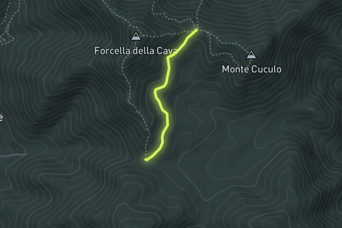
Easy · Trail
Varco Ceraso – Varco Diecimare
2.5 km · ↑ 116 m · 50 min · 12 km away
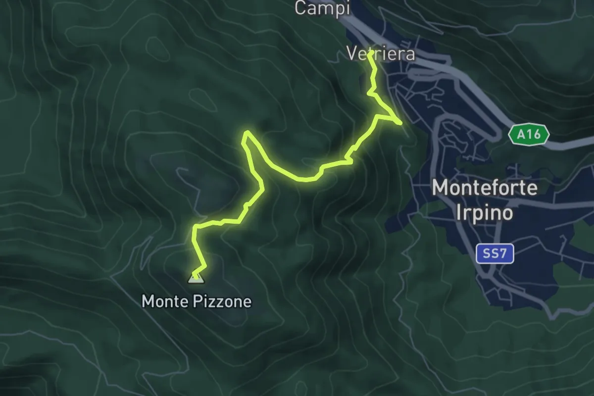
Medium · Summit
Monteforte Irpino – Monte Pizzone
7.1 km · ↑ 531 m · 2 h 49 min · 12 km away
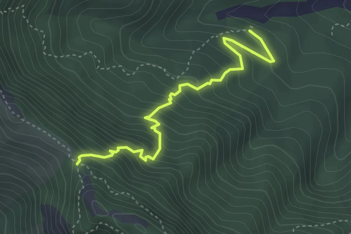
Medium · Trail
Incrocio 312a – Pietrapiana
3.9 km · ↑ 455 m · 1 h 54 min · 13 km away
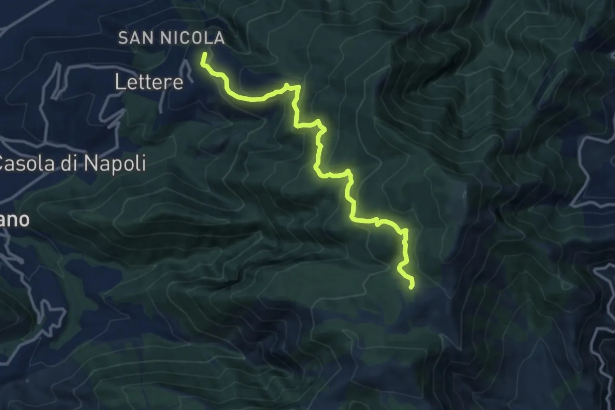
Medium · Trail
Mulattiera Orsano-Megano
11.5 km · ↑ 734 m · 4 h 18 min · 13 km away
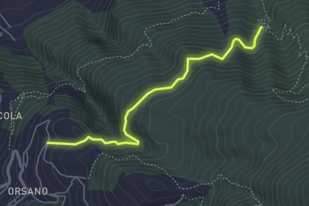
Medium · Trail
Sentiero di Orsano
4.8 km · ↑ 484 m · 2 h 11 min · 13 km away
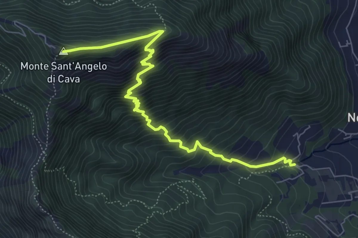
Medium · Summit
La Via della Neve
7.6 km · ↑ 776 m · 3 h 29 min · 13 km away
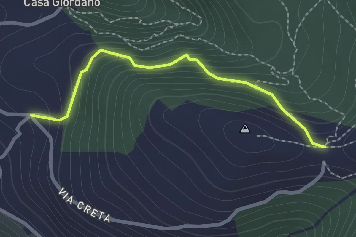
Medium · Trail
La Creta
2.0 km · ↑ 187 m · 53 min · 13 km away
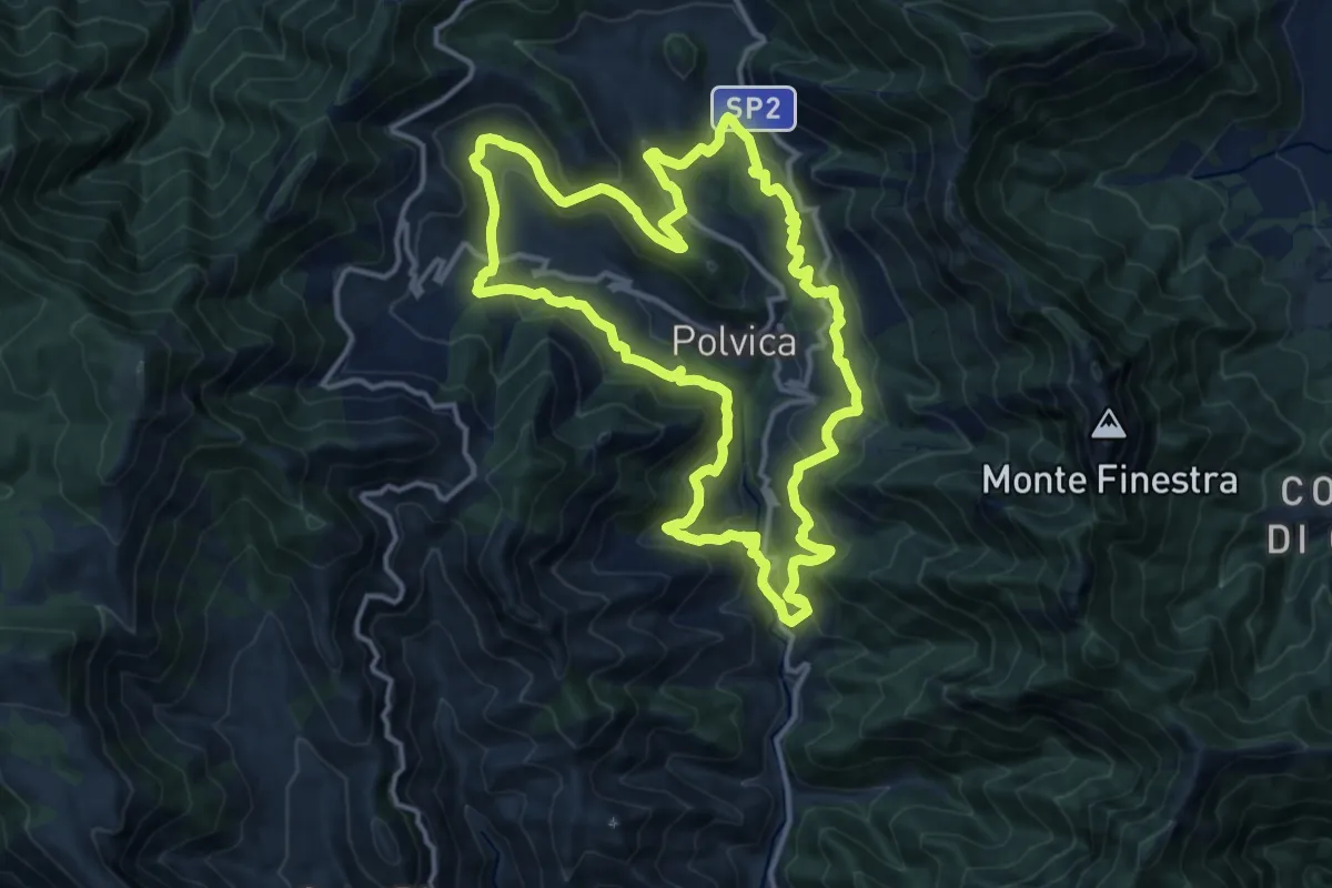
Medium · Trail
Sentiero delle 13 Chiese
15.0 km · ↑ 589 m · 5 h 2 min · 14 km away
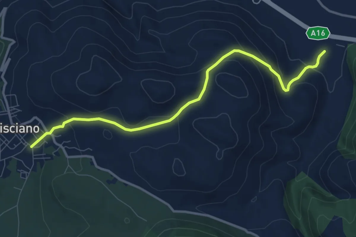
Medium · Trail
Santa Maria del Carpinello
9.4 km · ↑ 388 m · 3 h 3 min · 14 km away
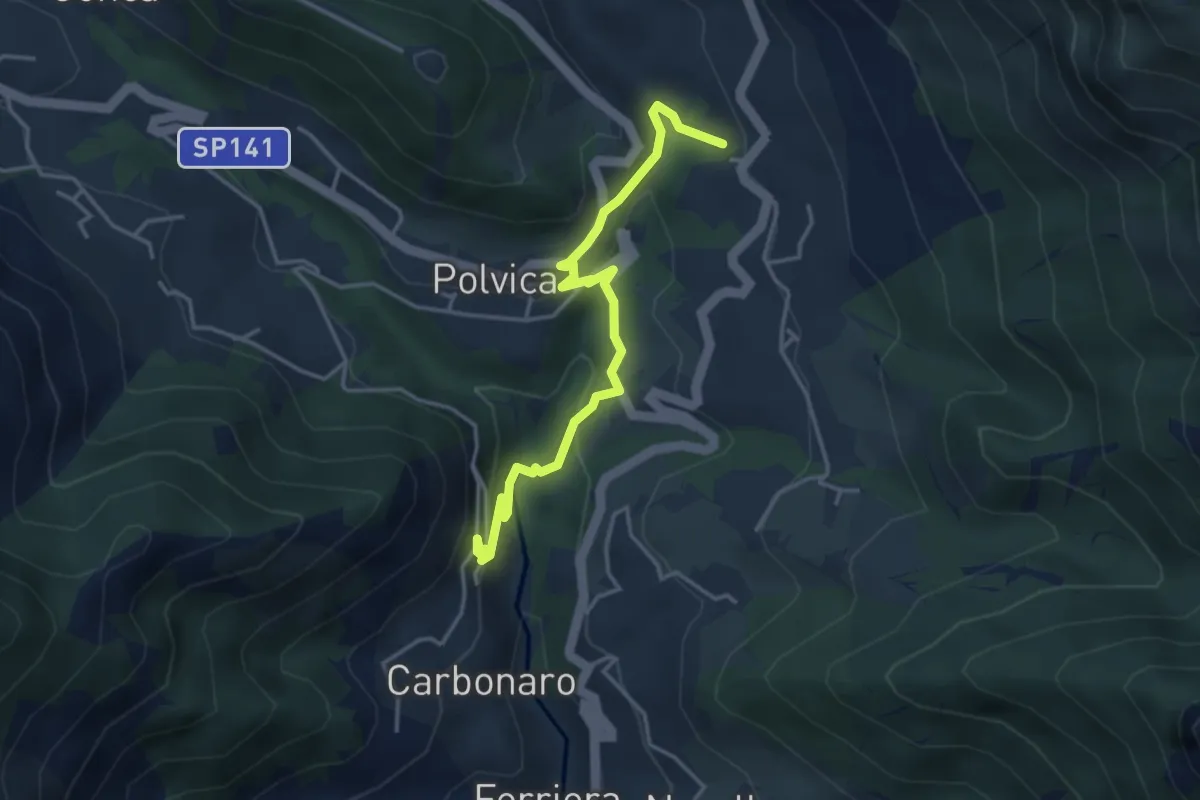
Medium · Trail
Incrocio 310 – Incrocio 310 (Paterno Sant'Arcangelo)
4.4 km · ↑ 211 m · 1 h 30 min · 14 km away
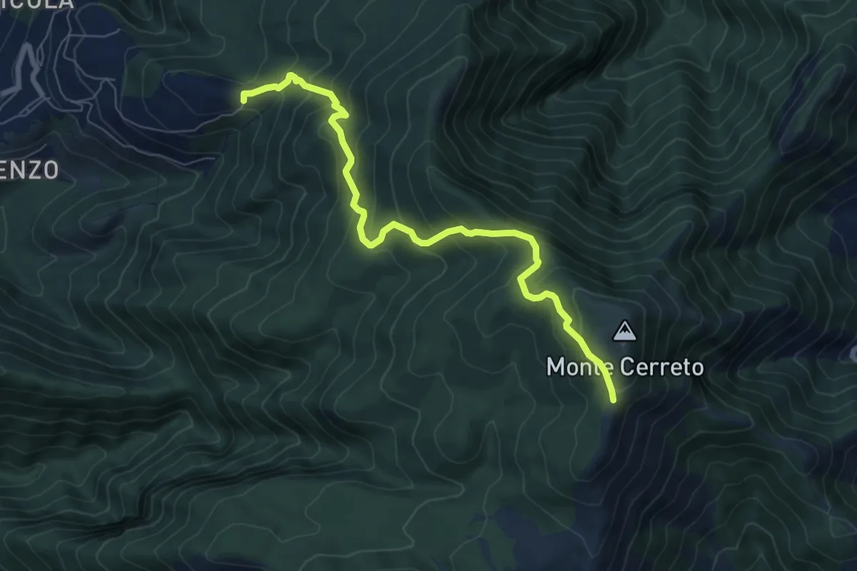
Medium · Trail
Incrocio 330 – Incrocio 300
8.0 km · ↑ 678 m · 3 h 21 min · 14 km away
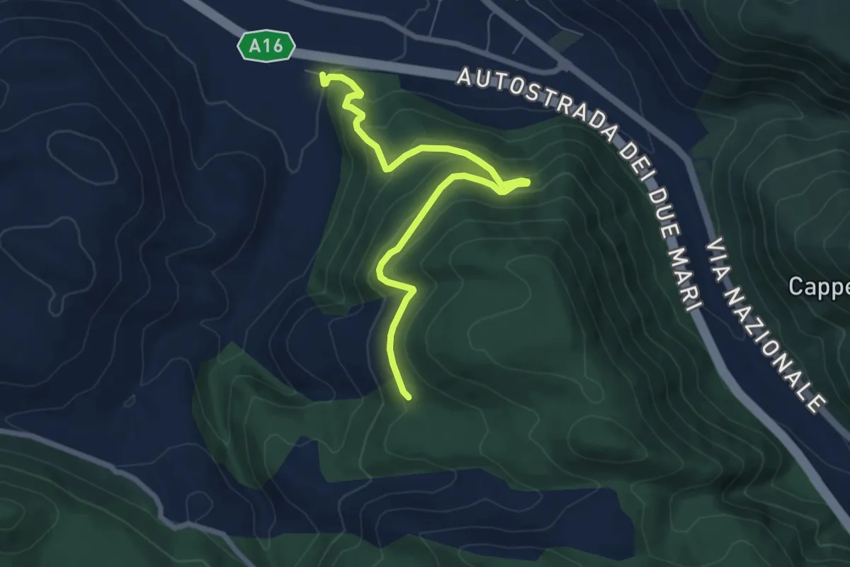
Medium · Trail
Castello Cisterna
7.9 km · ↑ 424 m · 2 h 48 min · 14 km away
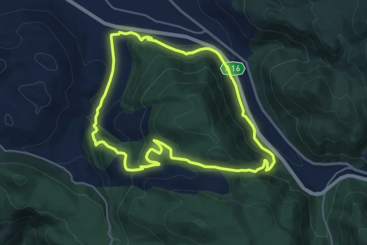
Medium · Trail
Valico Renella
11.5 km · ↑ 478 m · 3 h 55 min · 14 km away
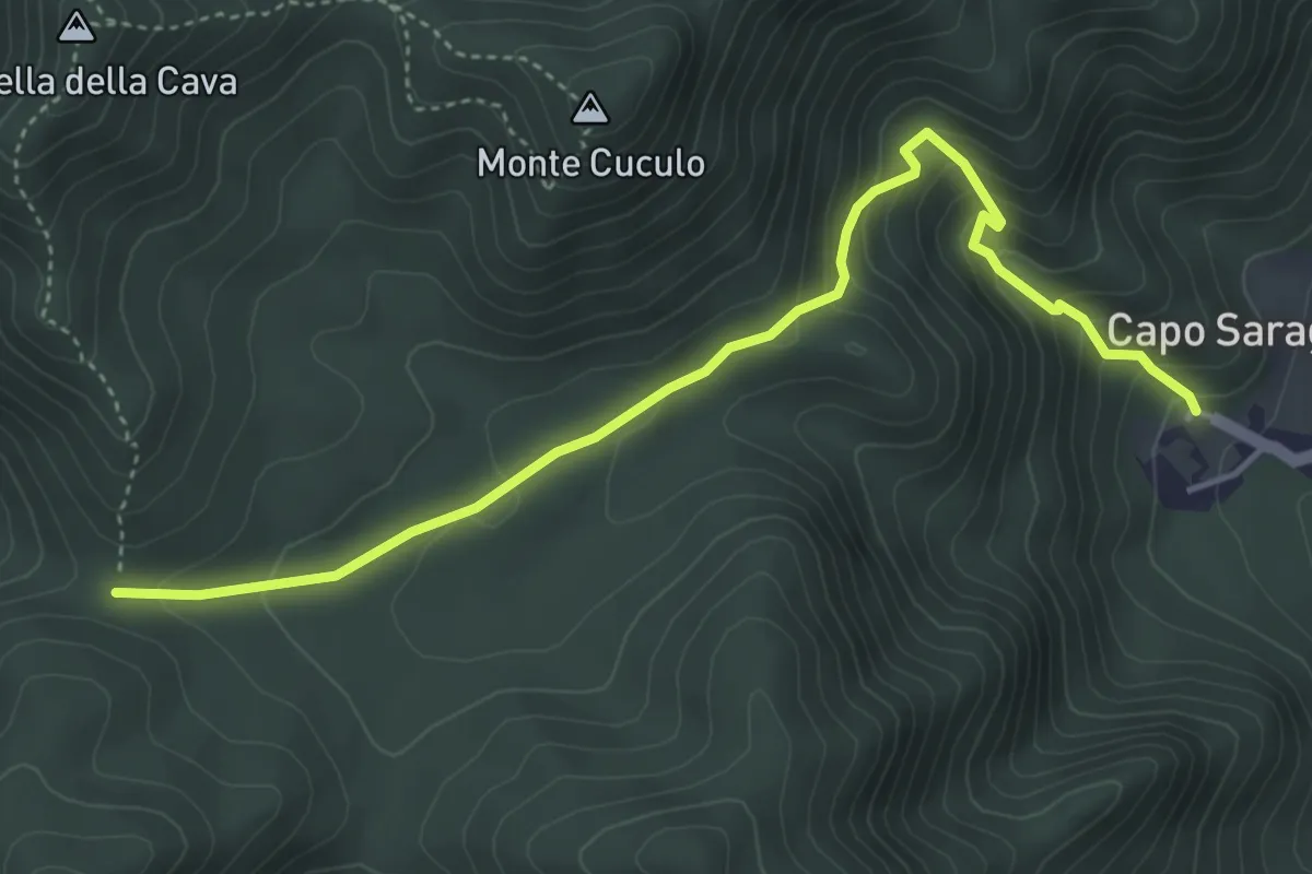
Medium · Trail
Capo Saragnano (Baronissi) – Varco Diecimare
5.1 km · ↑ 351 m · 1 h 58 min · 14 km away
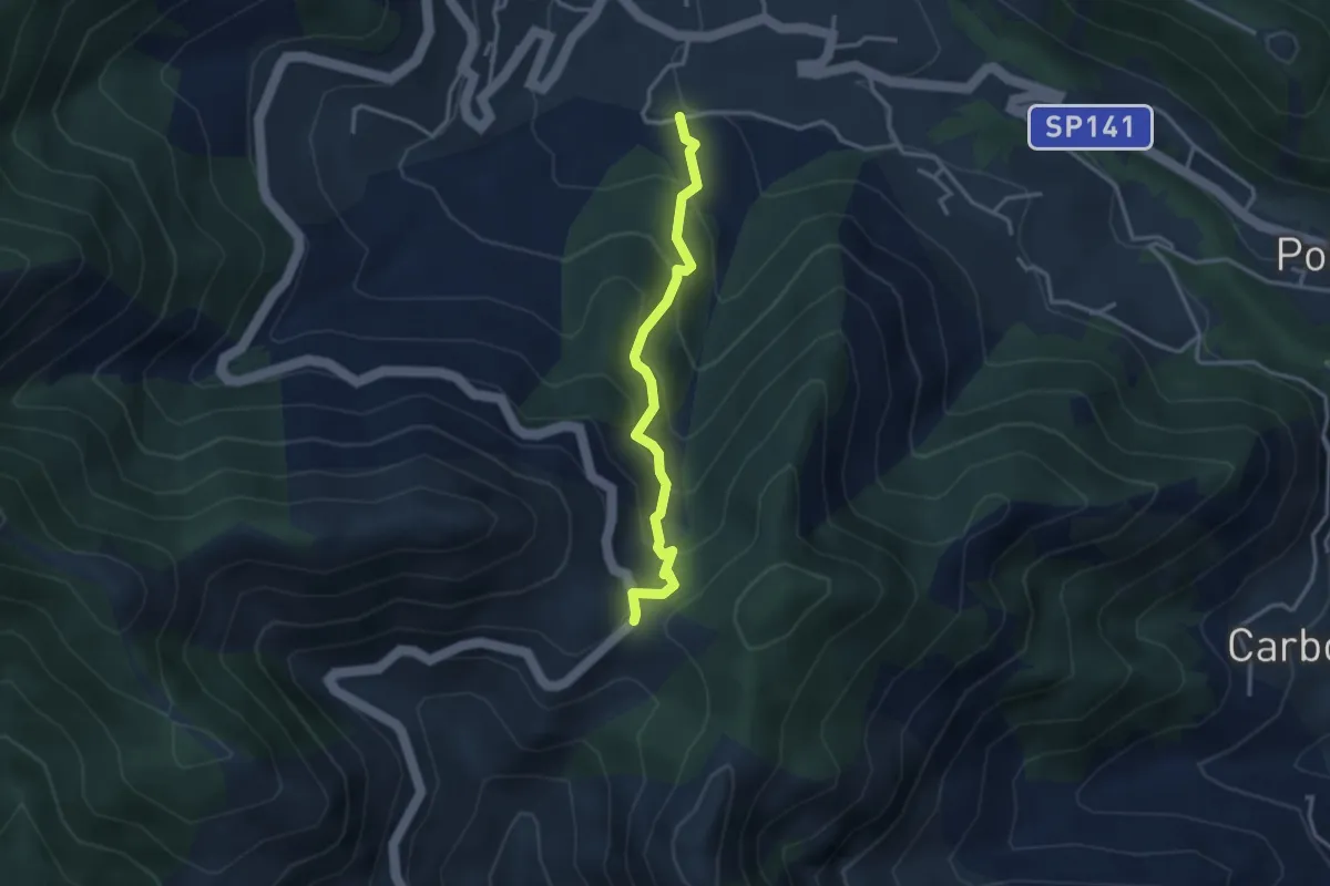
Medium · Trail
Loc. Frescale (Tramonti) – Loc. Passo
3.3 km · ↑ 329 m · 1 h 30 min · 14 km away
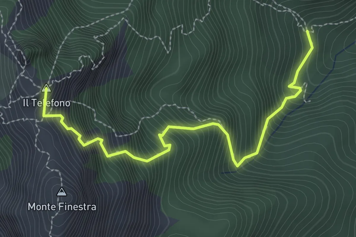
Demanding · Summit
Incrocio 308 – Incrocio 300 (Forcella di Monte Finestra)
3.2 km · ↑ 607 m · 2 h 5 min · 14 km away
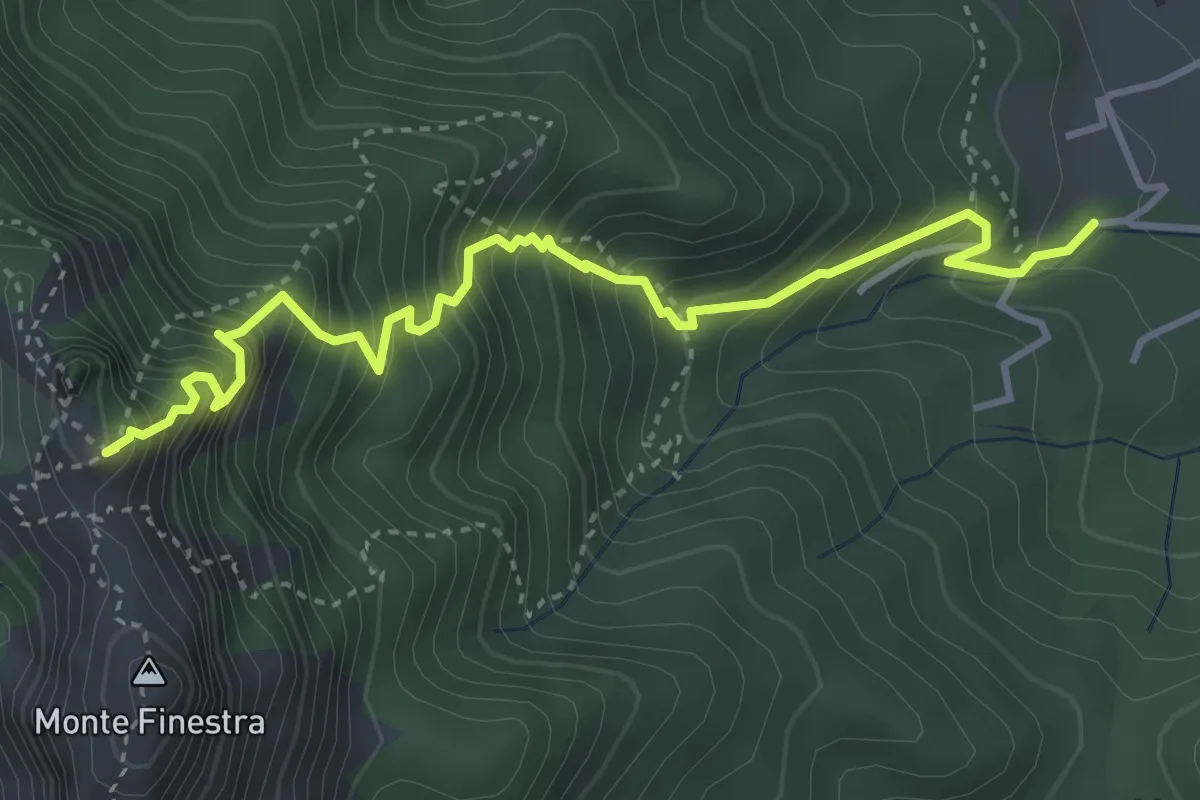
Medium · Summit
Sentiero Sergio Rosa
4.7 km · ↑ 741 m · 2 h 42 min · 14 km away
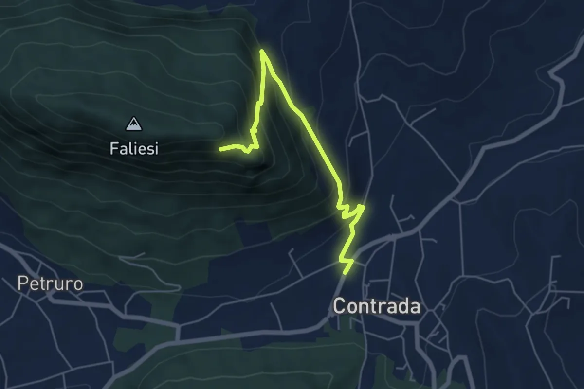
Medium · Trail
Contrada – Monte Faliesi
5.3 km · ↑ 451 m · 2 h 13 min · 14 km away
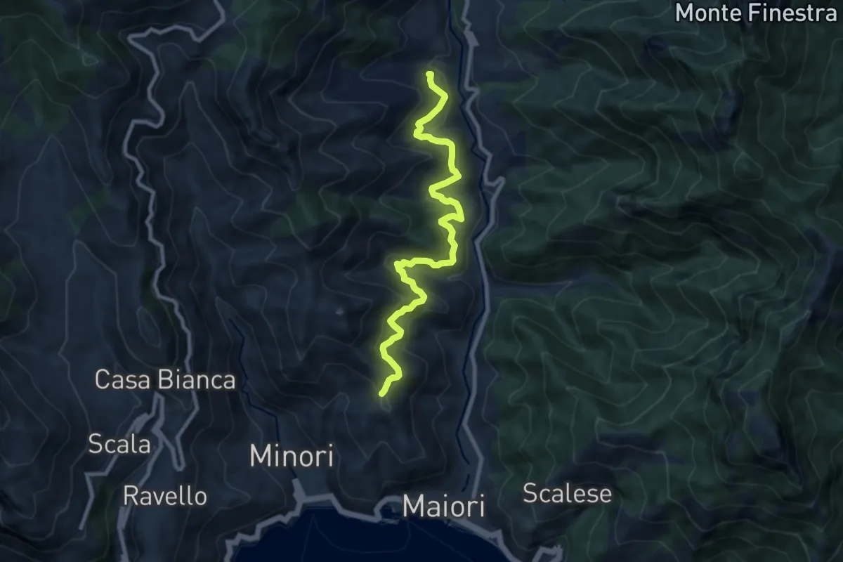
Medium · Trail
Sentiero delle Formichelle
9.4 km · ↑ 699 m · 3 h 44 min · 14 km away
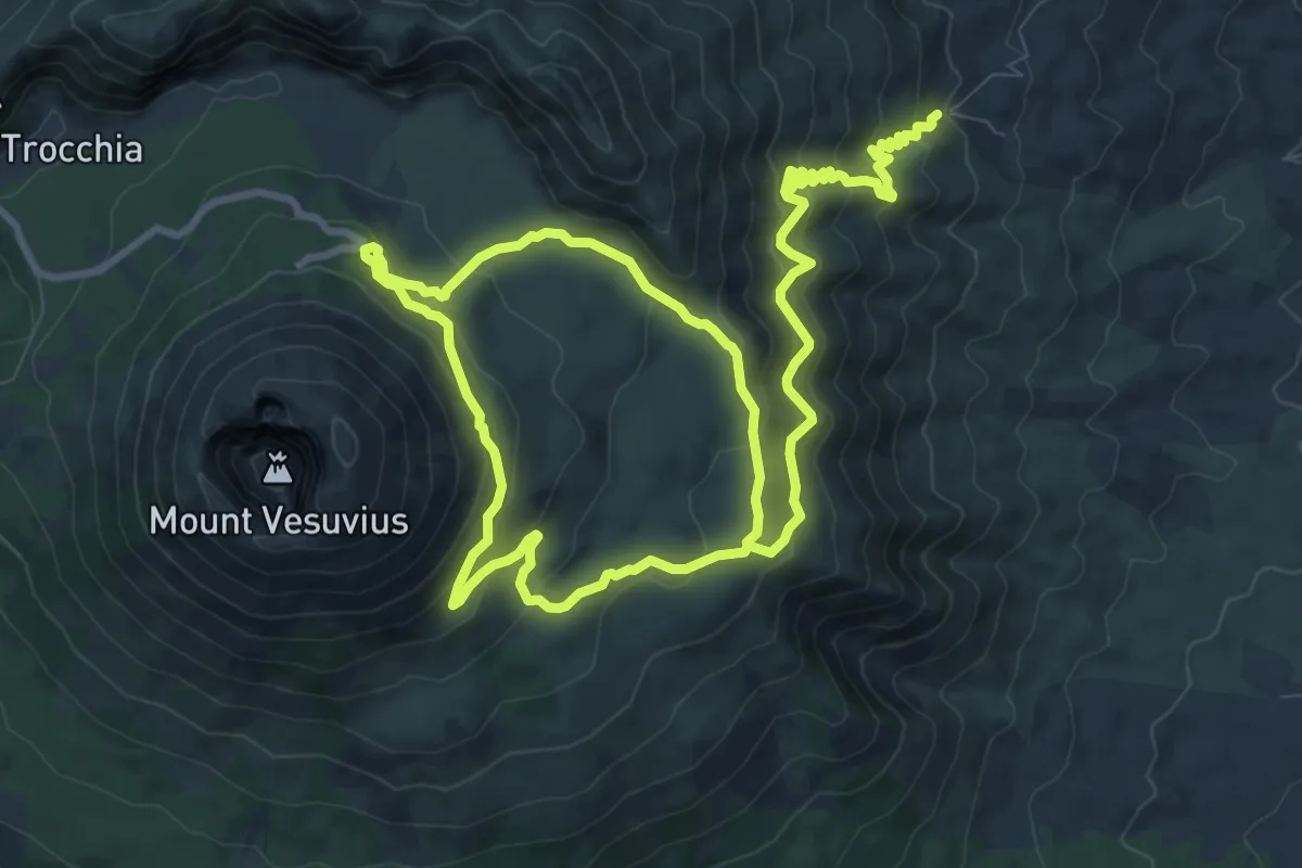
Medium · Summit
Sentiero 1: La Valle dell'Inferno
9.5 km · ↑ 399 m · 3 h 22 min · 14 km away
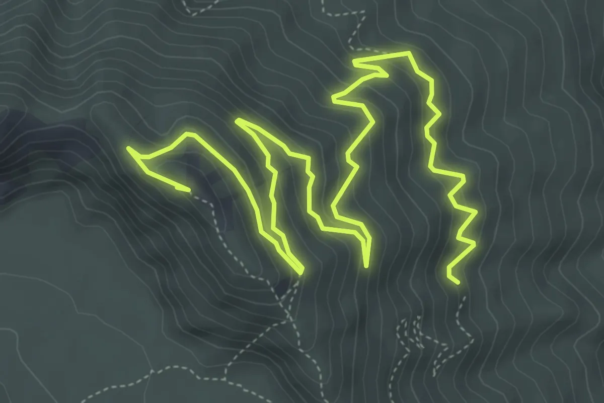
Medium · Summit
Sentiero 2: Lungo i Cognoli
9.4 km · ↑ 657 m · 3 h 38 min · 15 km away