Trails near Sarzana
183 hikes starting within 15 km, nearest first.
Nearest first, page 2 of 4
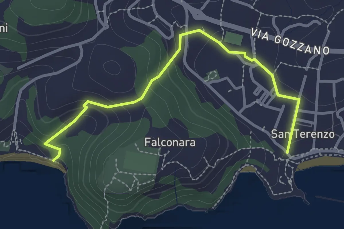
Easy · Trail
San Terenzo – Baia Blu
2.9 km · ↑ 127 m · 58 min · 6 km away
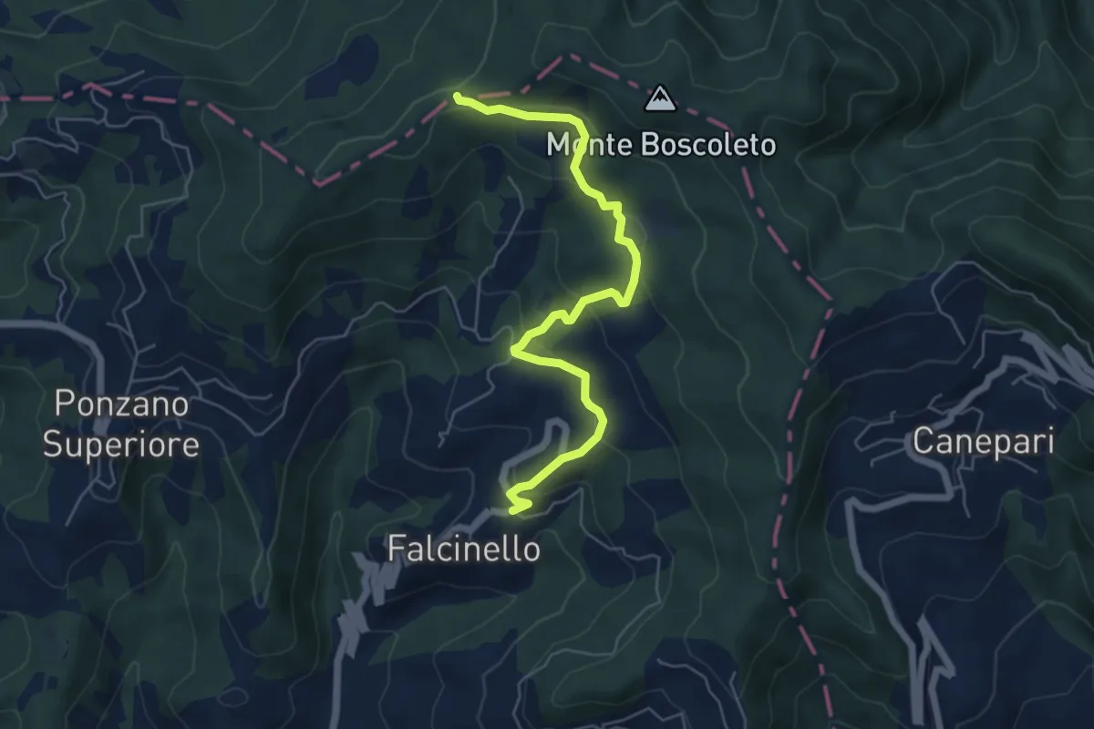
Easy · Trail
Falcinello – Via Francigena
6.0 km · ↑ 258 m · 1 h 59 min · 6 km away
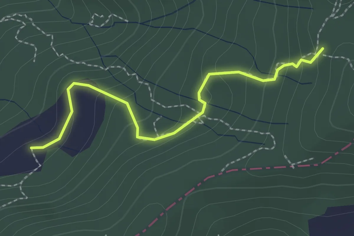
Easy · Trail
S2/bis Sentiero La bronzina - Quattro strade
2.2 km · ↑ 131 m · 49 min · 6 km away
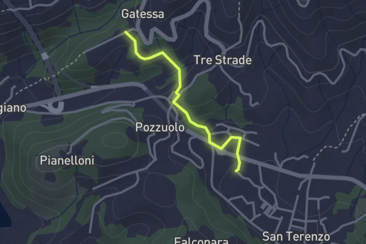
Easy · Trail
Bagnara – Pozzuolo - innesto sent. 451
2.3 km · ↑ 103 m · 46 min · 6 km away
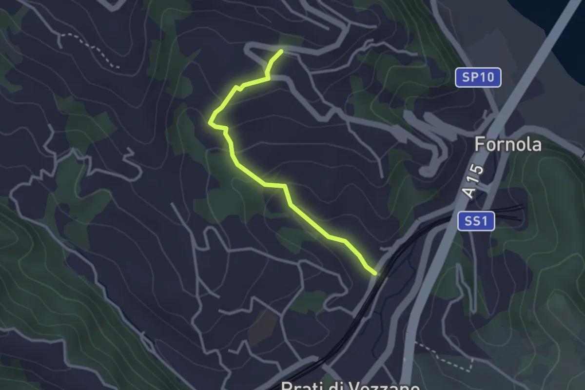
Easy · Trail
Fornola – Il Giardino – S. Maria
2.7 km · ↑ 134 m · 56 min · 6 km away
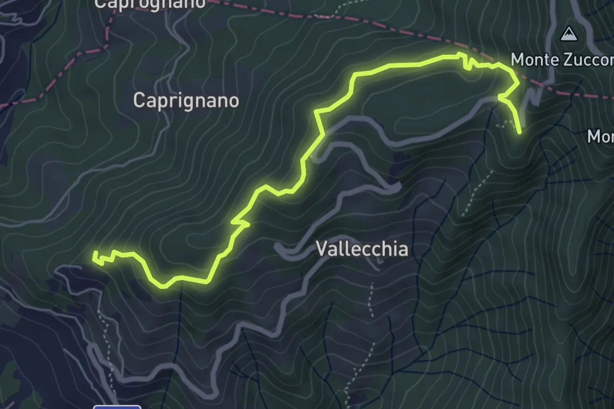
Medium · Trail
Monte Doglio – Case Bertella
6.4 km · ↑ 363 m · 2 h 18 min · 6 km away
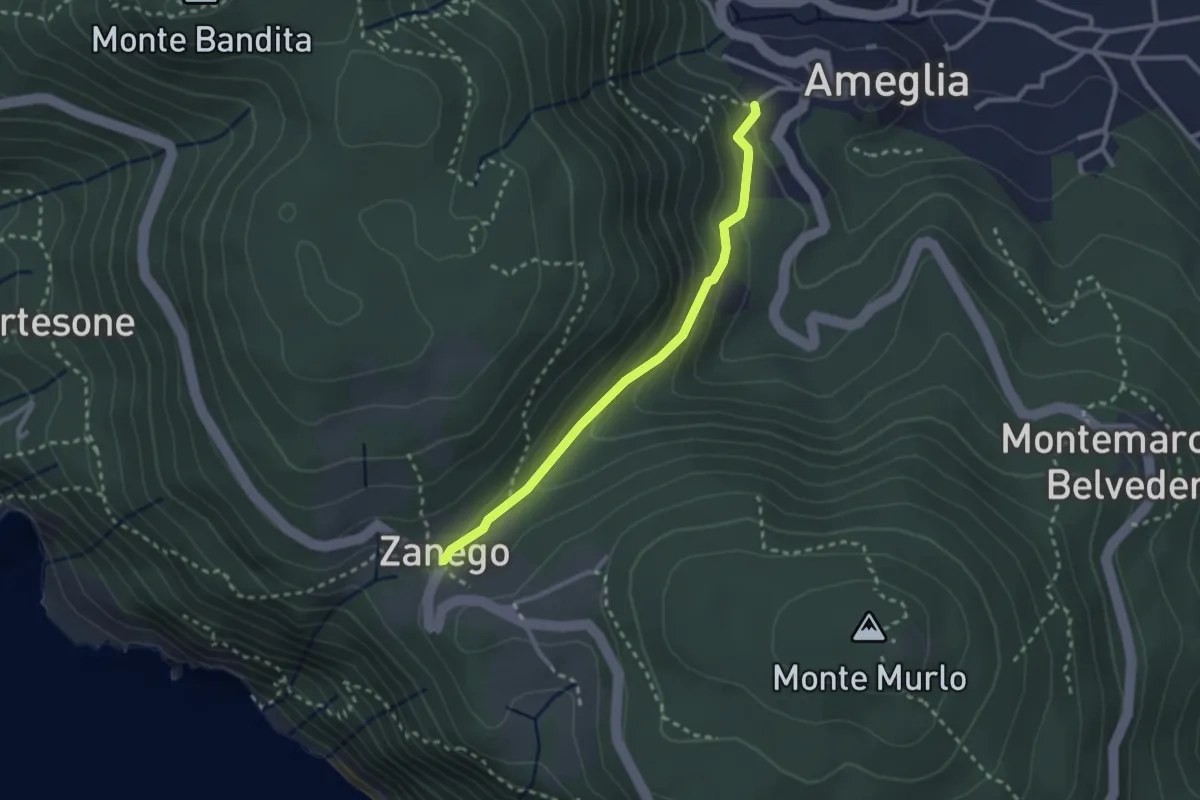
Easy · Trail
Ameglia – Zanego
2.6 km · ↑ 140 m · 55 min · 6 km away
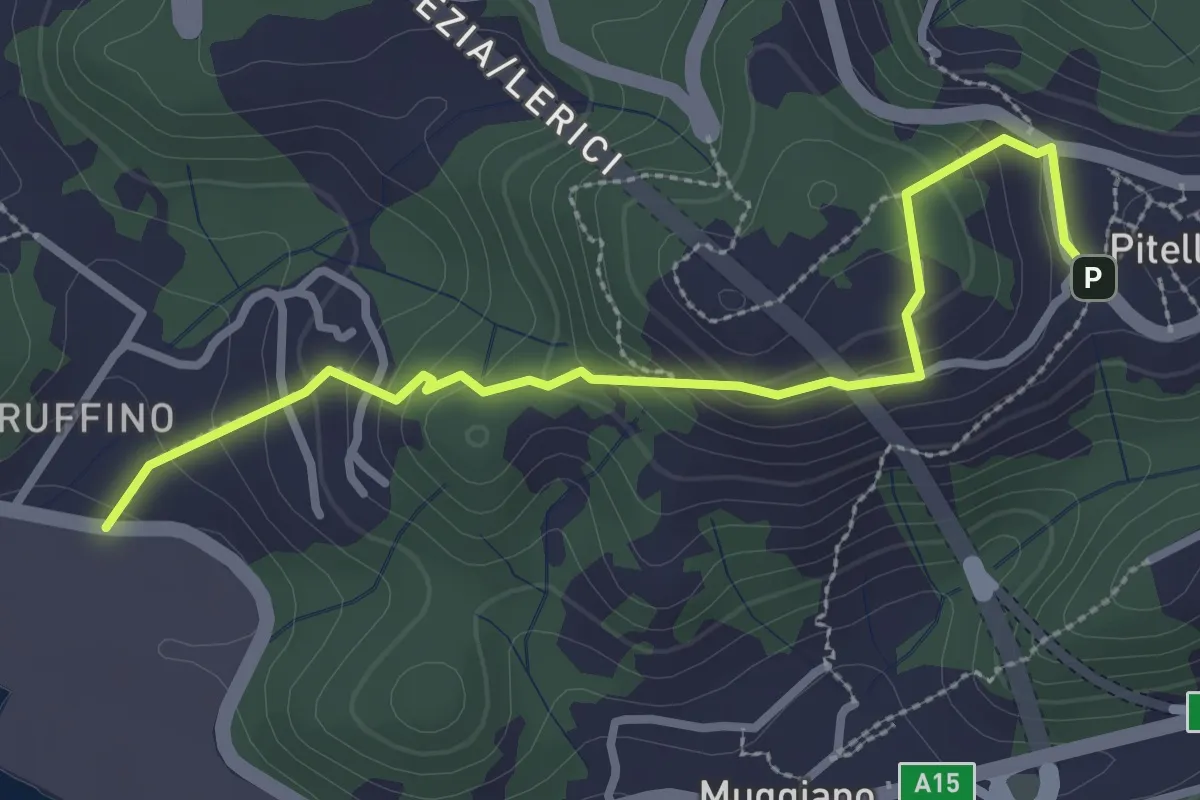
Easy · Trail
Ruffino – Pitelli
3.2 km · ↑ 224 m · 1 h 14 min · 6 km away
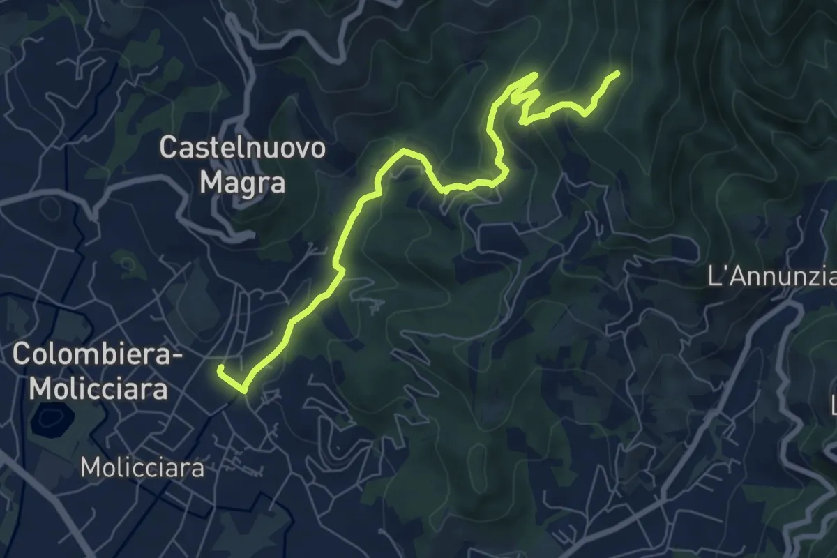
Medium · Trail
Molino del Piano – Vallecchia
7.9 km · ↑ 388 m · 2 h 43 min · 6 km away
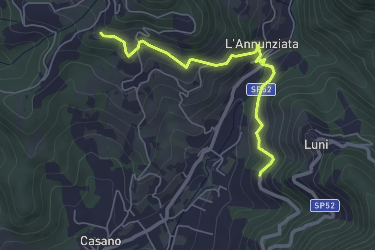
Easy · Trail
Santa Maria – Noceto
4.7 km · ↑ 307 m · 1 h 46 min · 6 km away
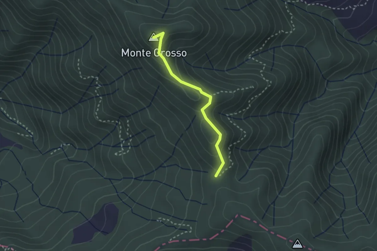
Easy · Summit
S5: Quattro Strade - Monte Grosso - La Tira
2.3 km · ↑ 113 m · 48 min · 7 km away
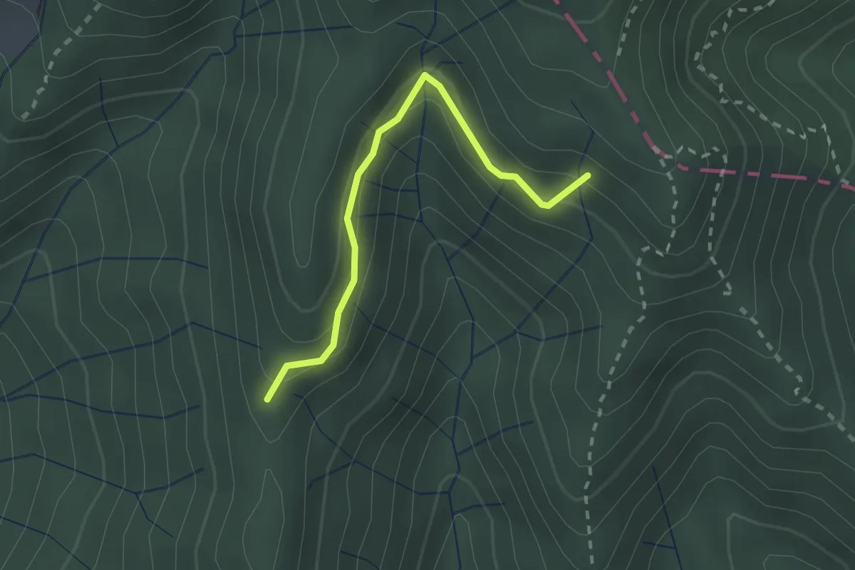
Easy · Trail
Percorso 373 – Percorso 304
2.2 km · ↑ 131 m · 48 min · 7 km away
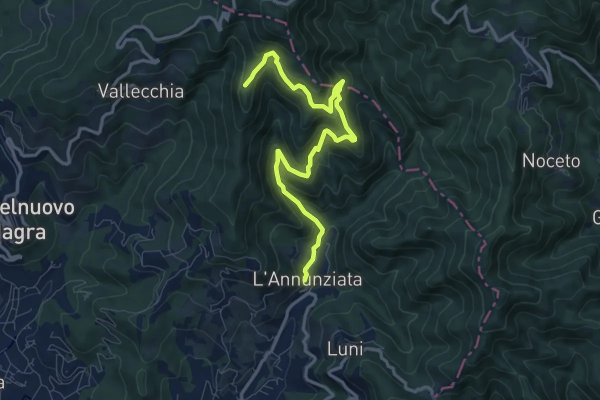
Medium · Trail
Percorso 364 - Località Annunziata – Percorso 304
9.3 km · ↑ 643 m · 3 h 36 min · 7 km away
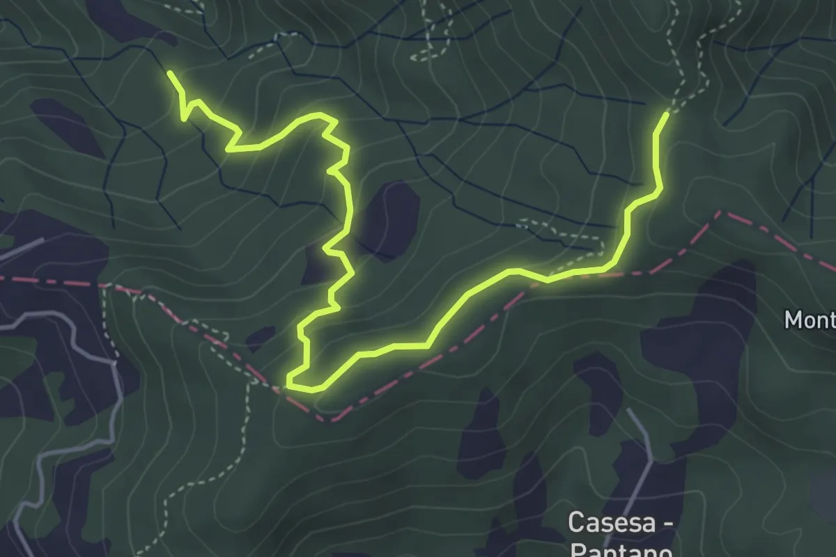
Easy · Trail
S2 Sentiero Valle dei Mulini- Quattro Strade
5.6 km · ↑ 305 m · 1 h 59 min · 7 km away
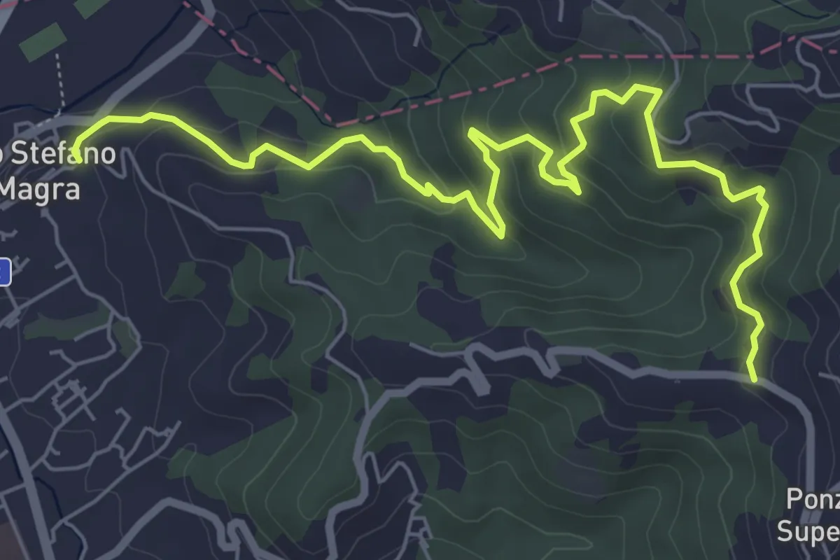
Medium · Trail
Santo Stefano di Magra – C. Volpara – C. Piazza
7.9 km · ↑ 378 m · 2 h 42 min · 7 km away
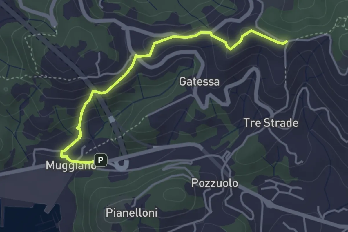
Easy · Trail
Muggiano – Sella Pin Bon
3.8 km · ↑ 194 m · 1 h 20 min · 7 km away
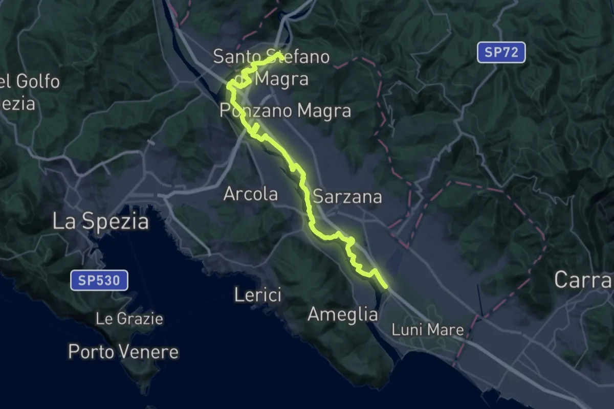
Demanding · Trail
Sarzana (Marina 3B) – Santo Stefano di Magra
20.2 km · ↑ 9 m · 5 h 5 min · 7 km away
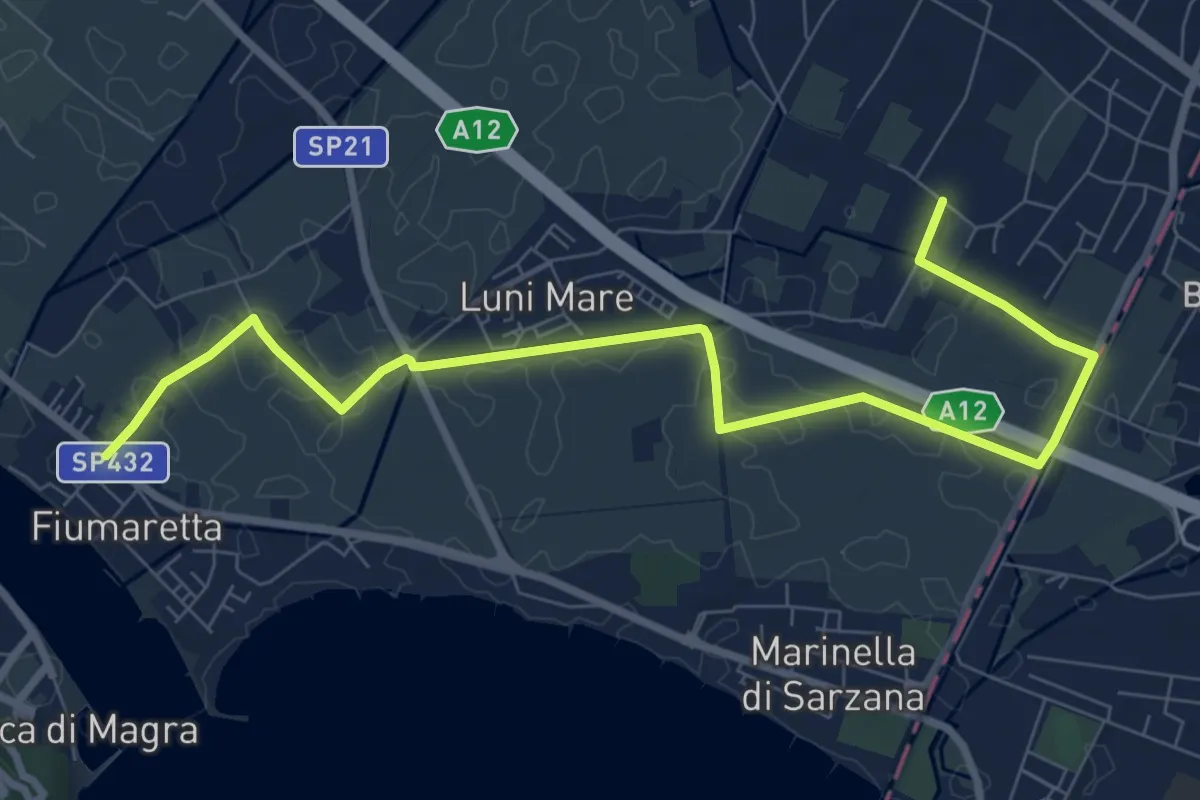
Medium · Trail
Fiumaretta – Anfiteatro Di Luni
10.2 km · ↑ 0 m · 2 h 25 min · 7 km away
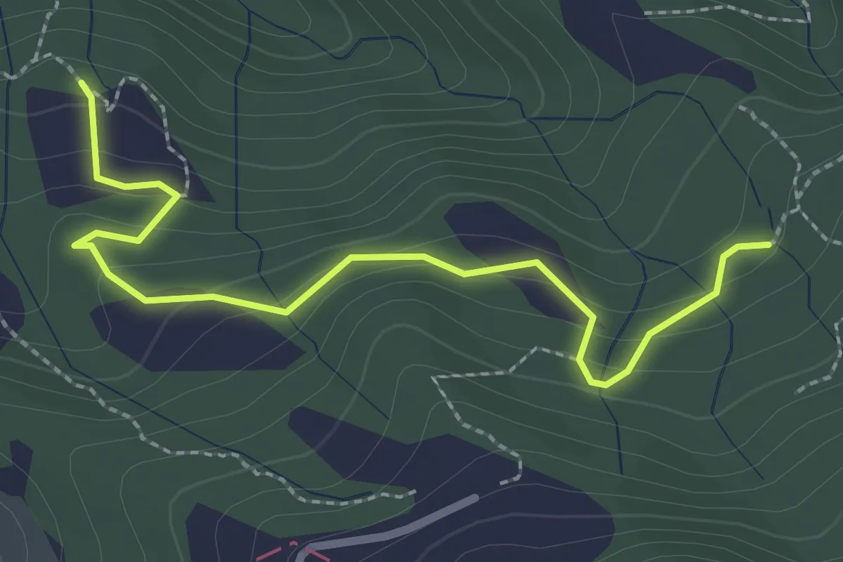
Easy · Trail
La Bastia – Castagni Grossi (bivio 231)
2.8 km · ↑ 159 m · 1 h · 7 km away
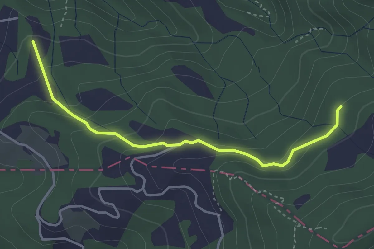
Easy · Trail
Caprigliola – Ar D 'ndre
3.4 km · ↑ 191 m · 1 h 13 min · 7 km away
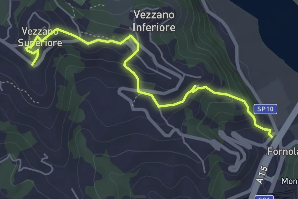
Easy · Trail
Fornola – Darola – Vezzano Ligure
5.0 km · ↑ 275 m · 1 h 46 min · 7 km away
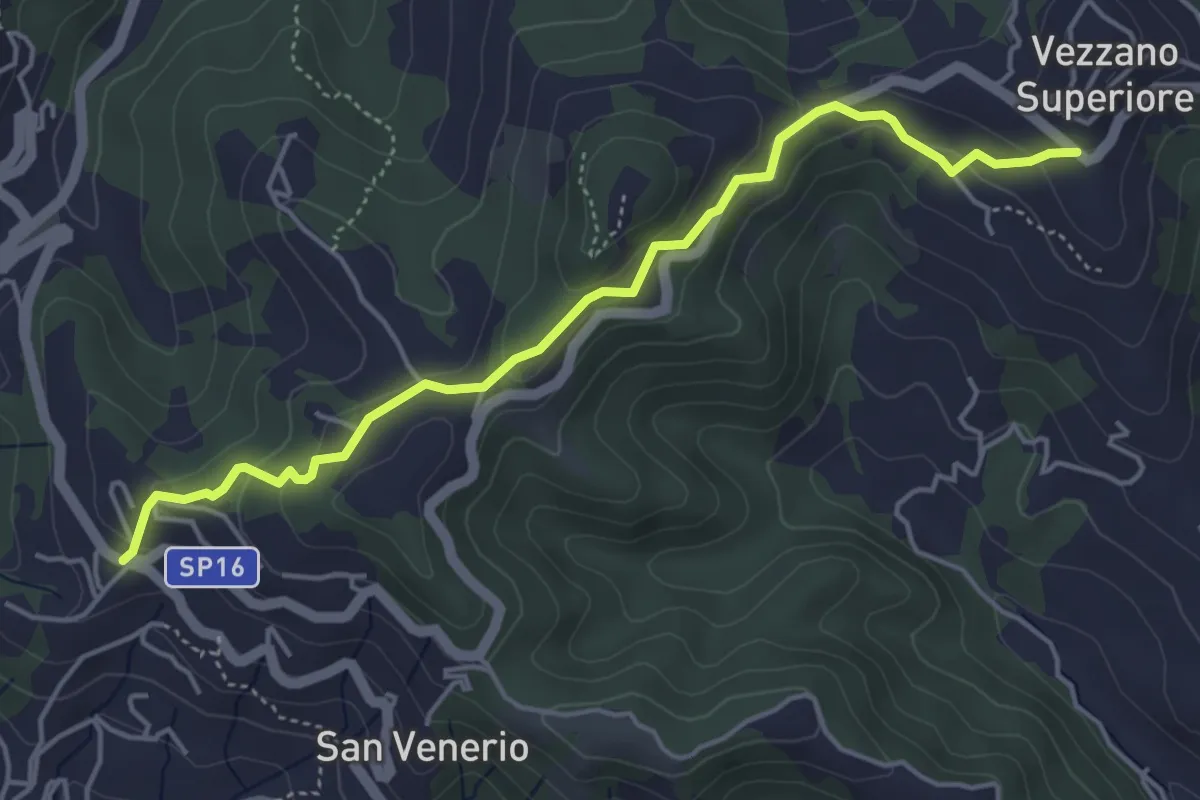
Easy · Trail
Vezzano Ligure – Forte Bastia – Beverone
5.0 km · ↑ 223 m · 1 h 40 min · 7 km away
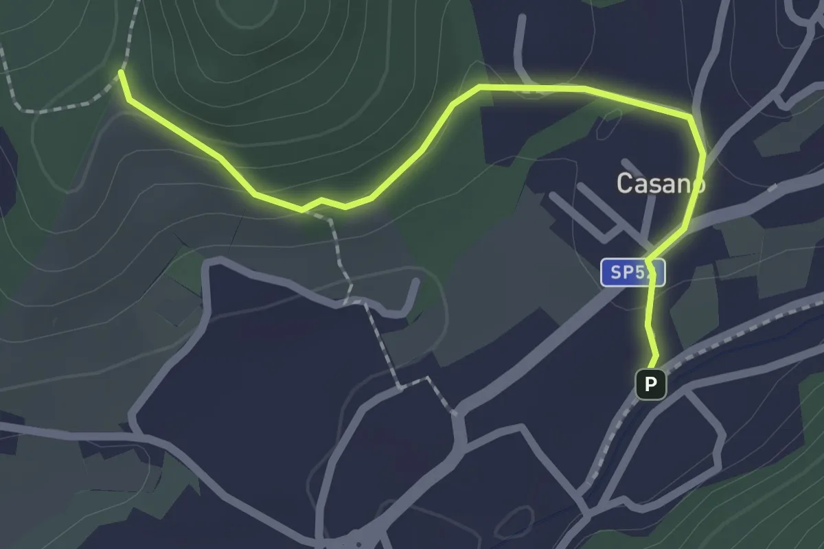
Easy · Trail
Serravalle – Monte dei Frati
2.2 km · ↑ 63 m · 40 min · 7 km away
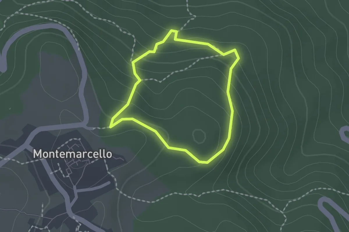
Easy · Trail
Montemarcello – giro del M. Marana
1.5 km · ↑ 81 m · 33 min · 7 km away
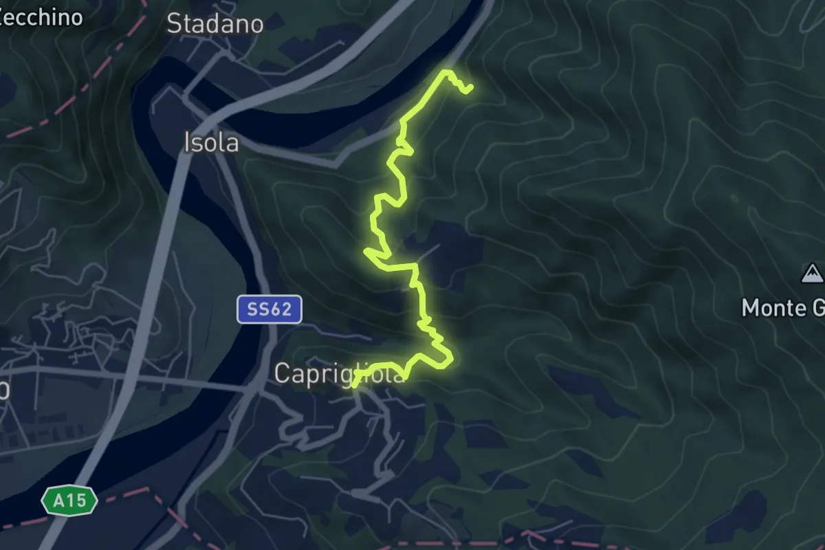
Demanding · Trail
S1 Caprigliola - Chiamici - Santuario Madonna del Ponte
6.1 km · ↑ 492 m · 2 h 30 min · 7 km away
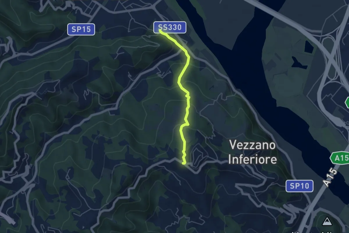
Easy · Trail
Bottagna – Vezzano Ligure
4.2 km · ↑ 228 m · 1 h 29 min · 7 km away
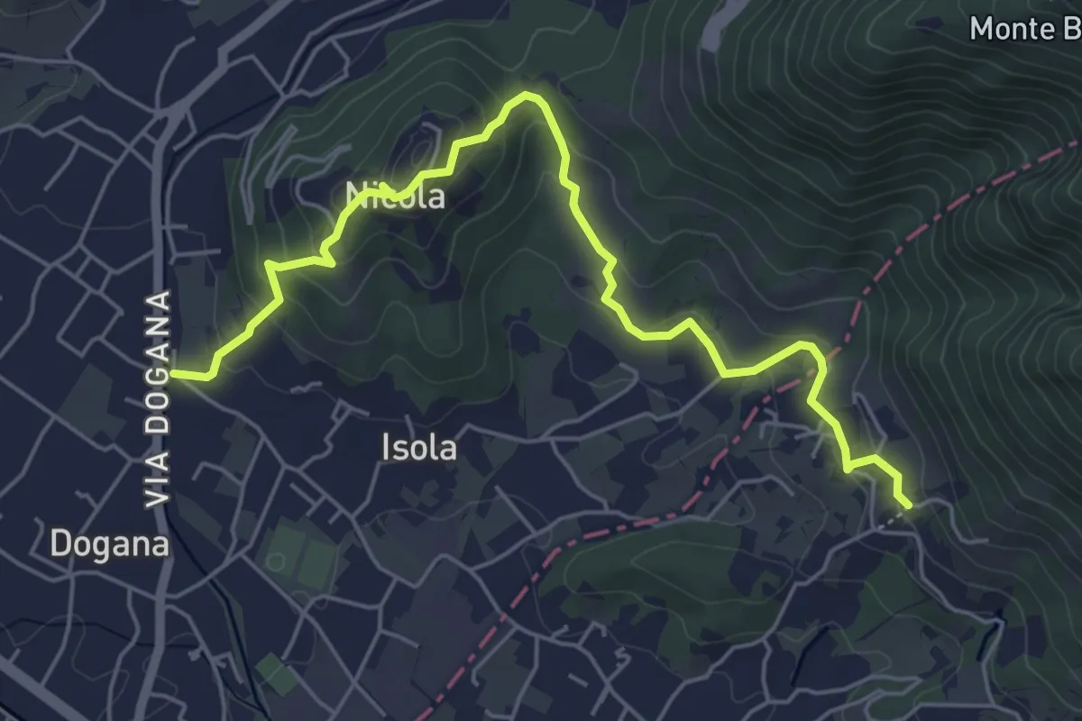
Easy · Trail
Isola – Fossola
6.3 km · ↑ 287 m · 2 h 6 min · 7 km away
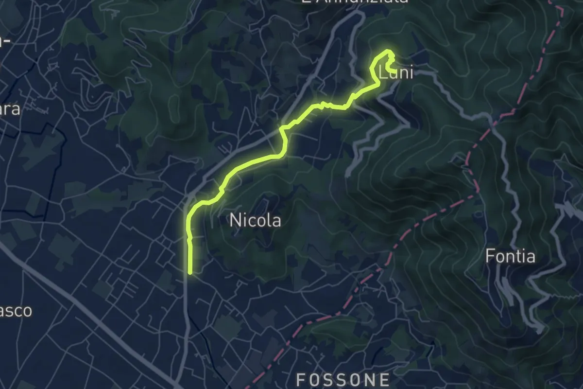
Easy · Trail
Isola - Lungo Parmignola - Ortonovo
6.6 km · ↑ 264 m · 2 h 8 min · 7 km away
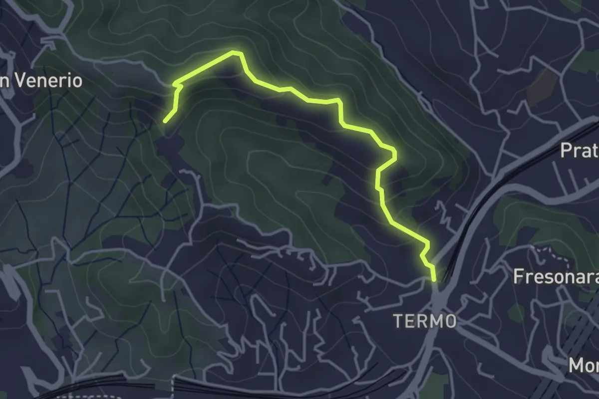
Easy · Trail
Variante AVG del Termo
3.7 km · ↑ 200 m · 1 h 19 min · 7 km away
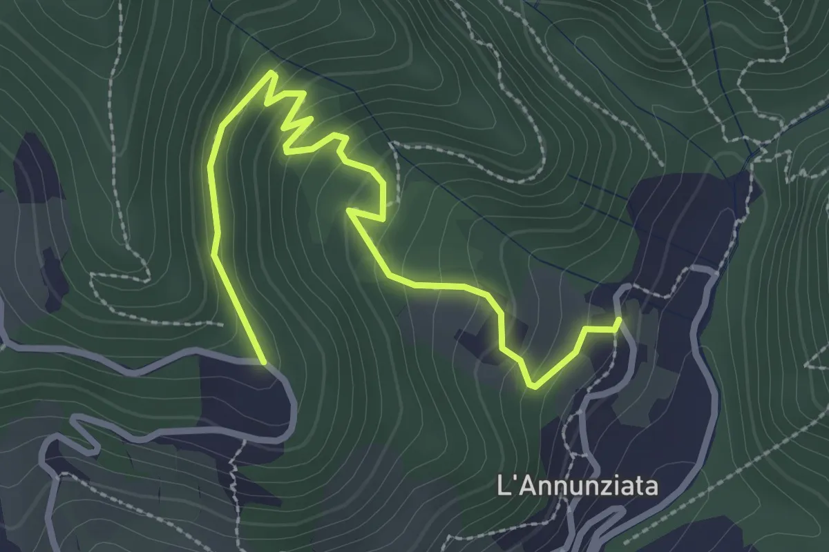
Easy · Trail
Percorso 373 – Percorso 304
3.2 km · ↑ 217 m · 1 h 14 min · 7 km away
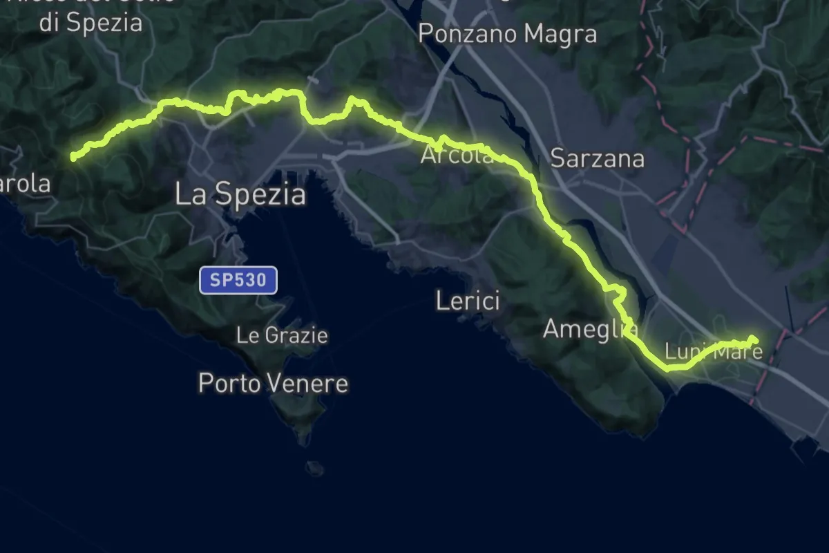
Expert · Summit
Via della Costa - Tappa 12
65.8 km · ↑ 1657 m · 19 h 7 min · 7 km away
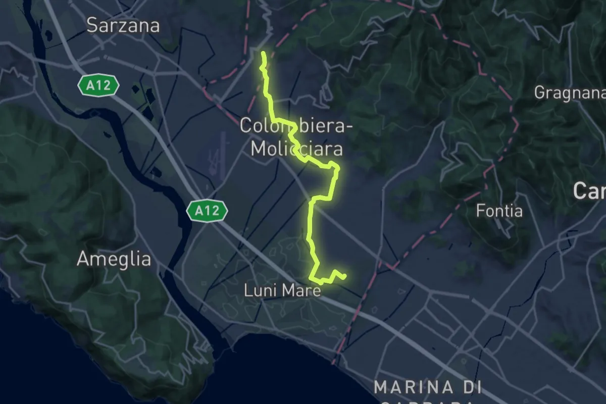
Medium · Trail
Sentiero dei Ducati Variante Luni
16.3 km · ↑ 61 m · 3 h 59 min · 8 km away
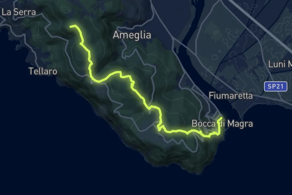
Medium · Summit
Alta Via del Golfo: Bocca di Magra - Il Termo
13.9 km · ↑ 762 m · 4 h 56 min · 8 km away
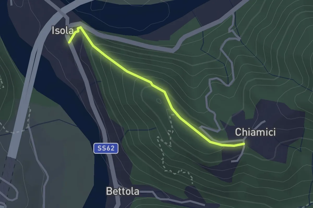
Easy · Trail
S6 Chiamici - Isola
2.4 km · ↑ 172 m · 57 min · 8 km away
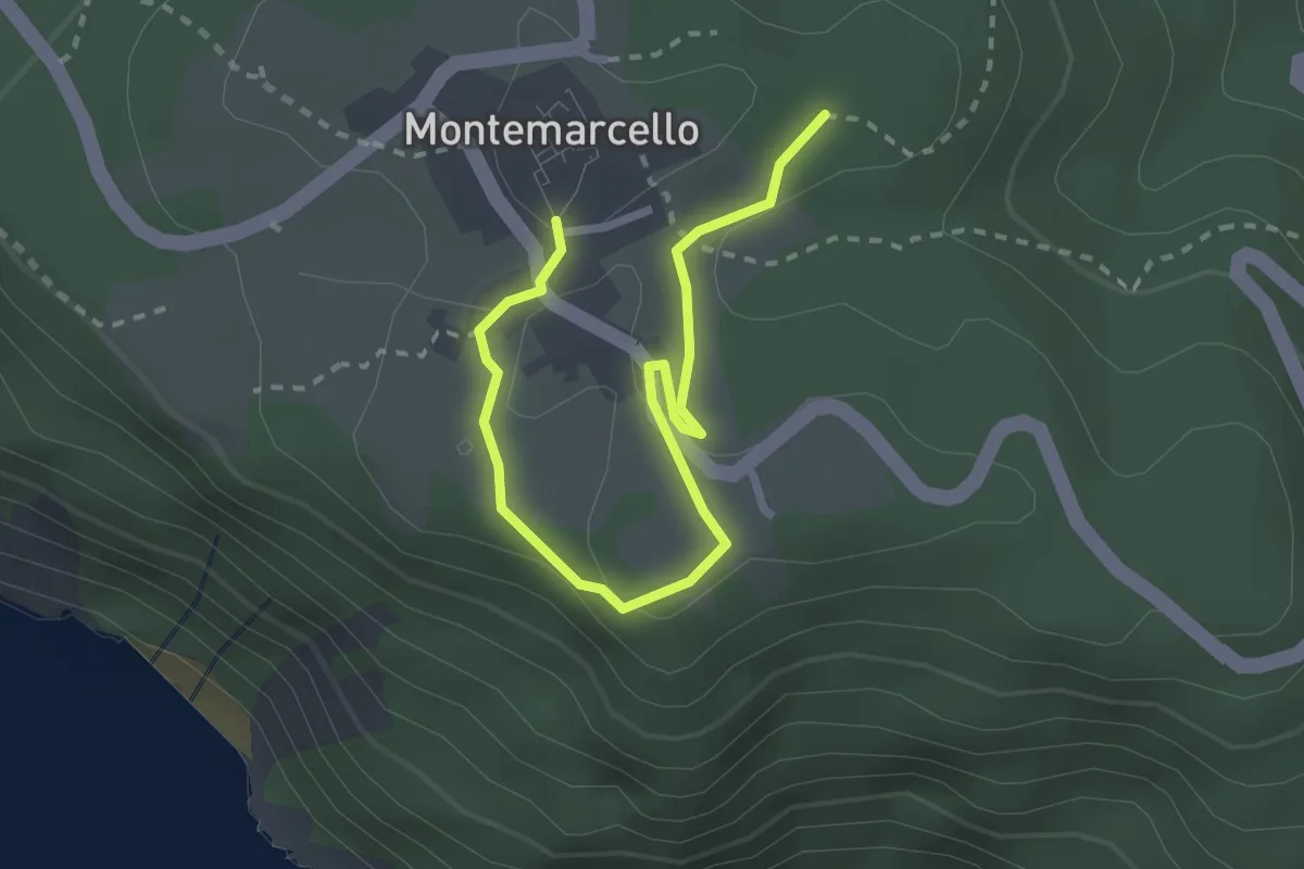
Easy · Trail
Bivio 436 - M. Marana
3.2 km · ↑ 50 m · 51 min · 8 km away
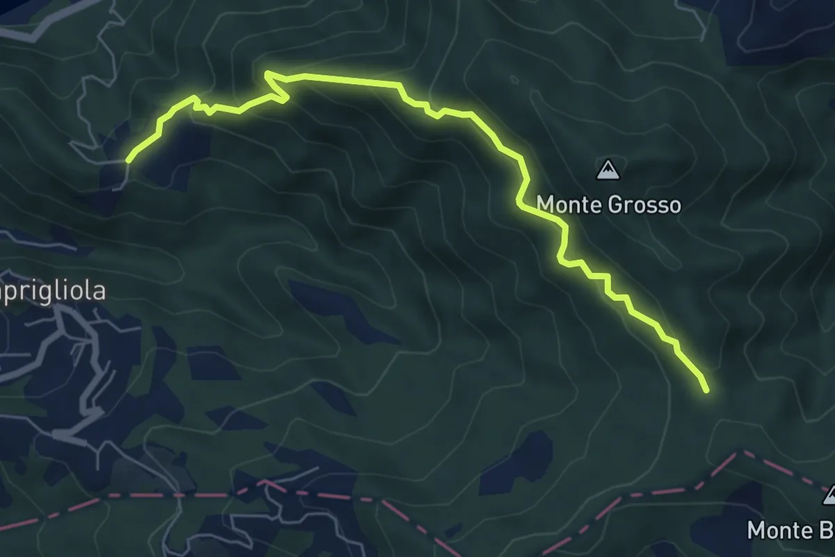
Medium · Trail
S3 Sentiero della Tira: Chiamici - Quattro strade
6.8 km · ↑ 538 m · 2 h 46 min · 8 km away
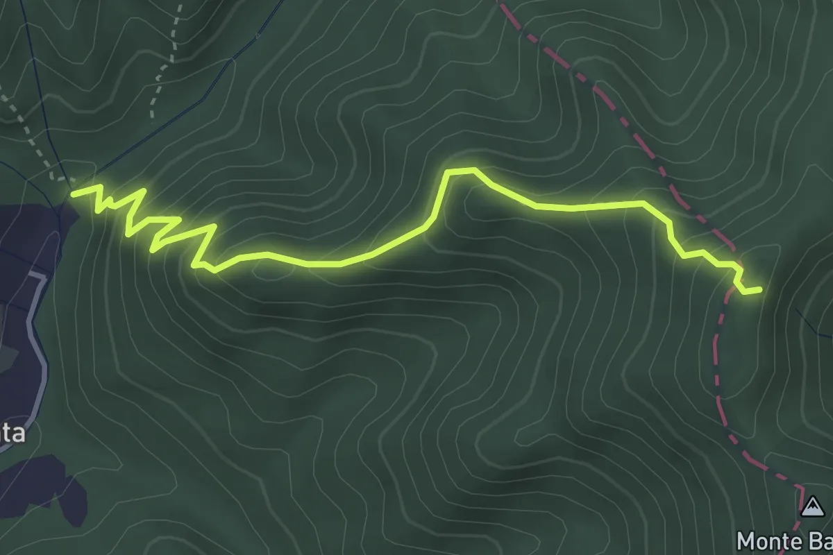
Medium · Trail
Molino del Lucco – Volpiglione
4.1 km · ↑ 419 m · 1 h 53 min · 8 km away
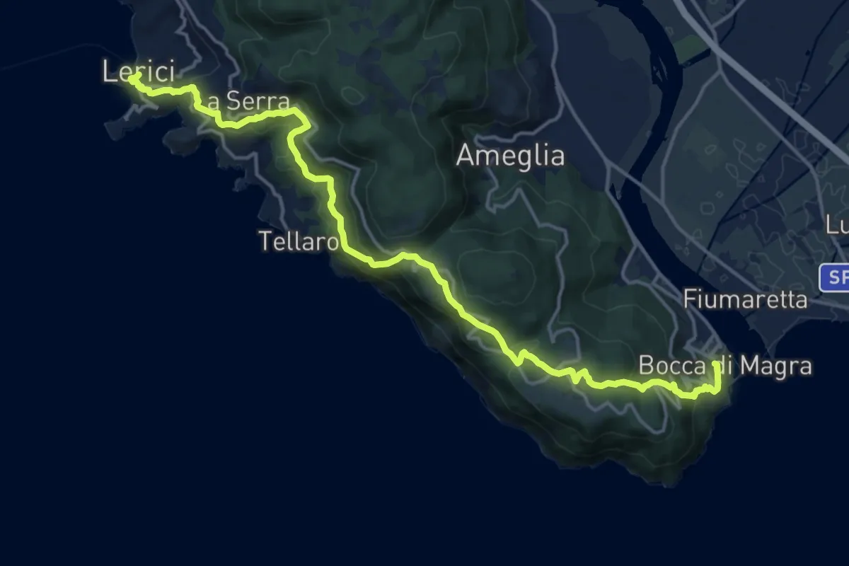
Demanding · Trail
Bocca di Magra – Lerici
18.9 km · ↑ 924 m · 6 h 28 min · 8 km away
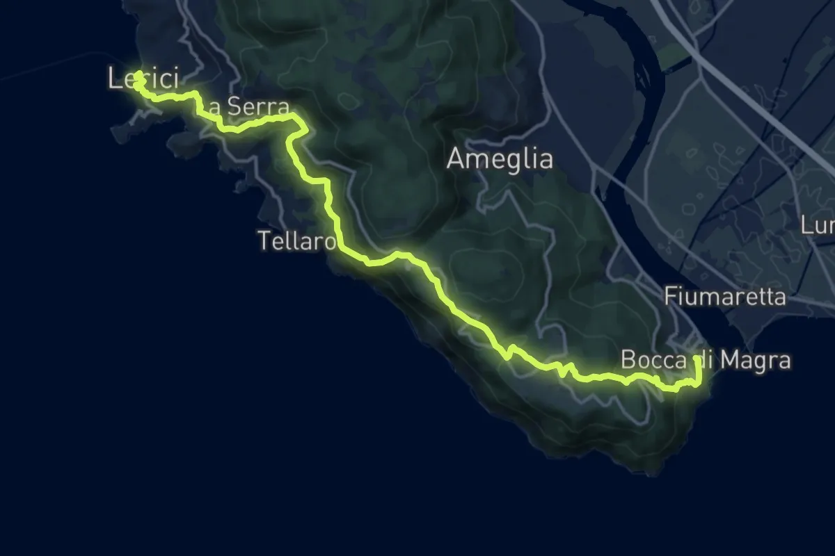
Demanding · Trail
Sentiero Liguria - Tappa 1
19.1 km · ↑ 933 m · 6 h 33 min · 8 km away
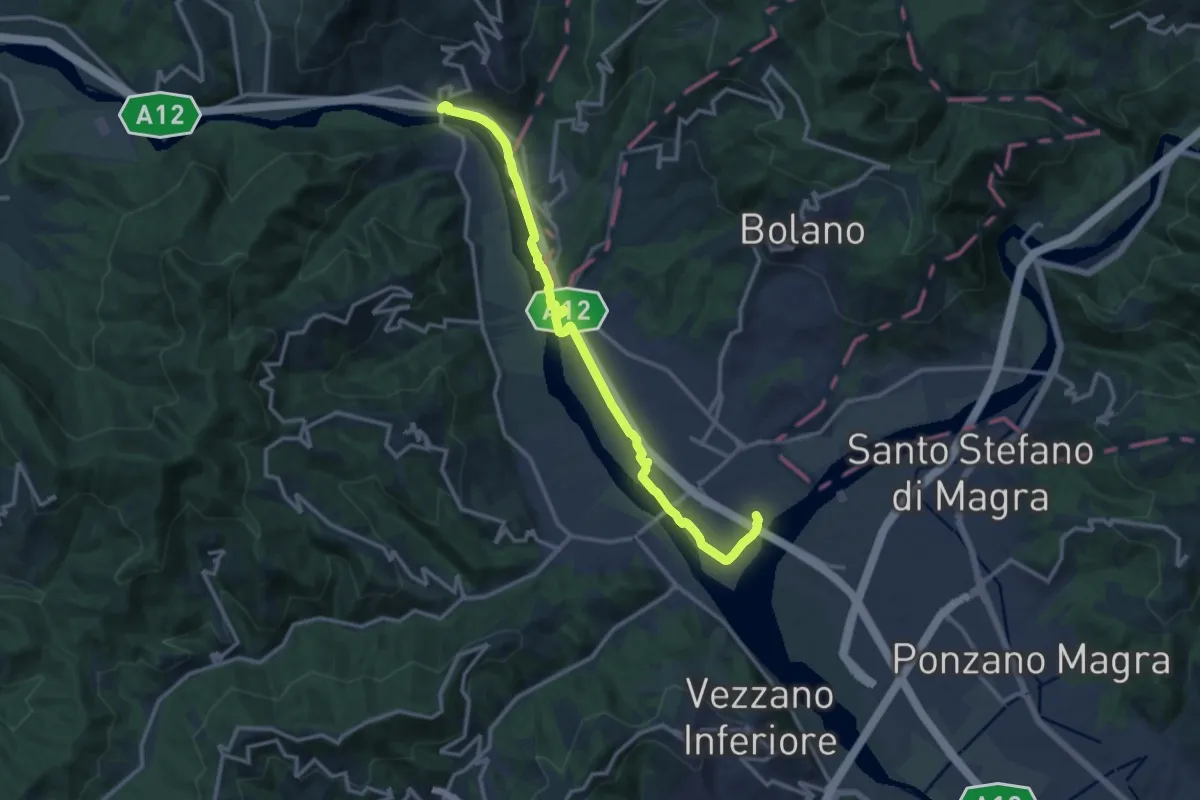
Medium · Trail
Ceparana – Piano di Madrignano
14.0 km · ↑ 32 m · 3 h 22 min · 8 km away
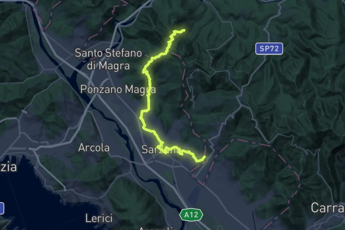
Demanding · Pilgrim path
Via Francigena - 05 Liguria
16.9 km · ↑ 476 m · 5 h 22 min · 8 km away
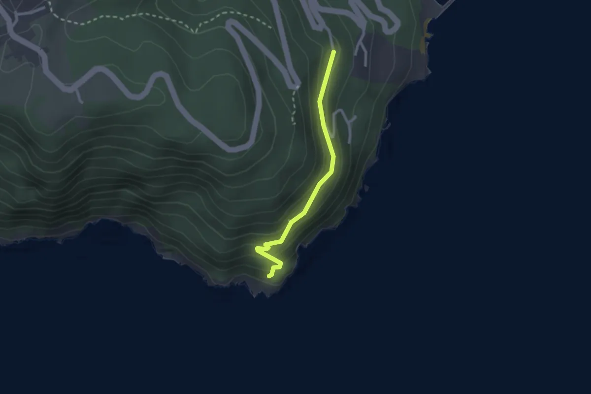
Easy · Trail
Punta Bianca – Carmelitane scalze
2.2 km · ↑ 170 m · 53 min · 8 km away
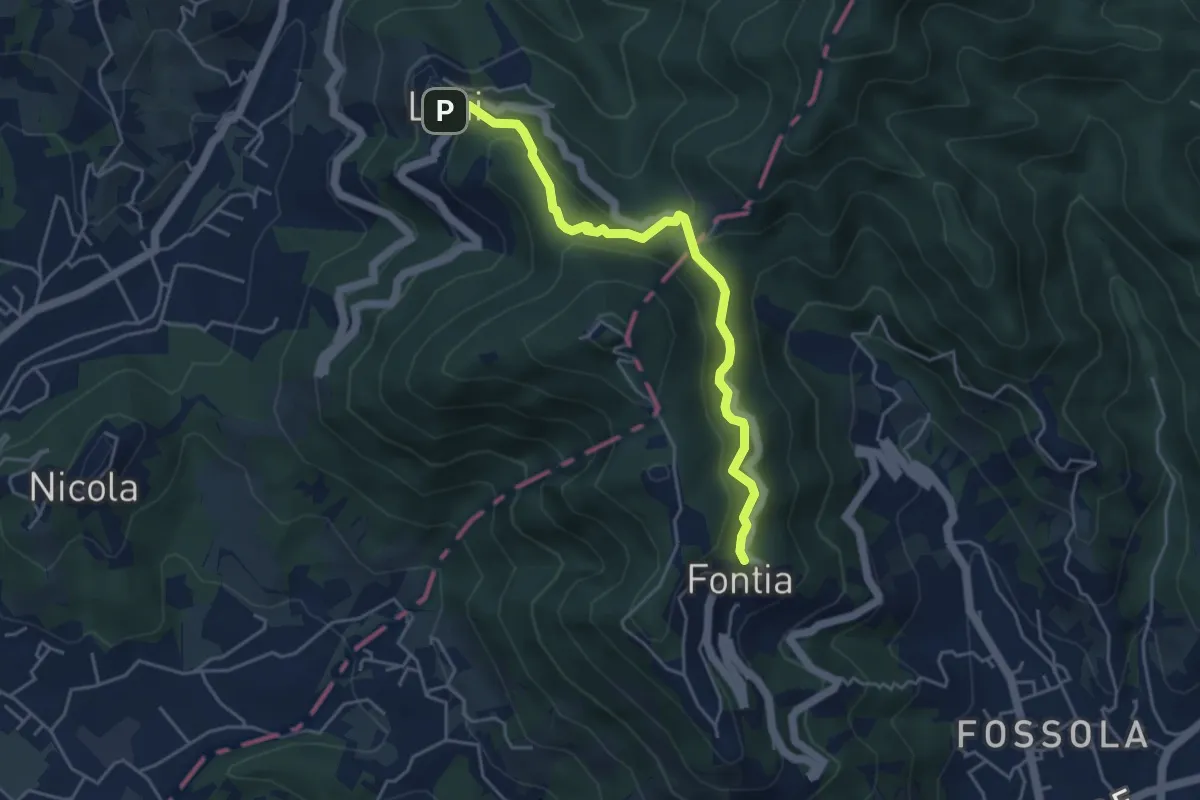
Easy · Trail
Ortonovo – Percorso 362
4.6 km · ↑ 238 m · 1 h 37 min · 8 km away
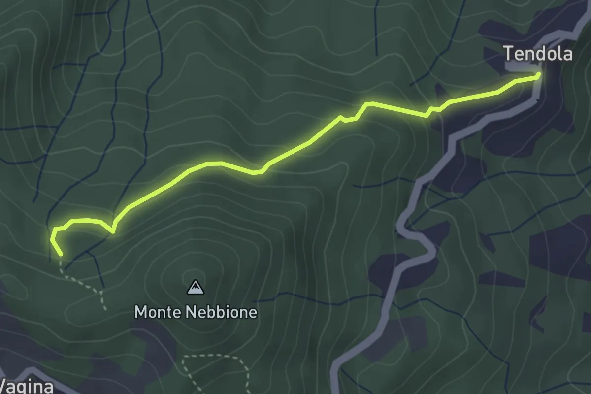
Easy · Trail
paese Tendola – Sentiero CAI 290
3.7 km · ↑ 221 m · 1 h 21 min · 8 km away
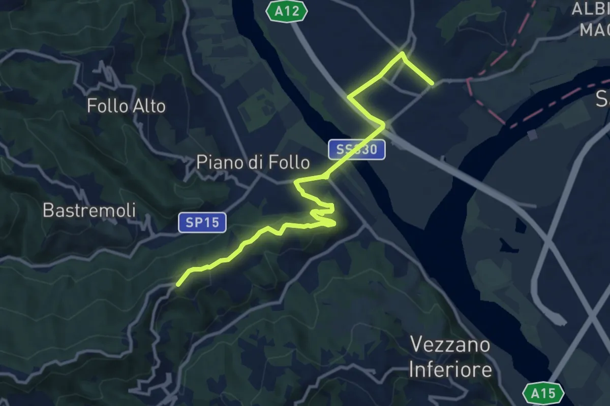
Medium · Trail
Collegamento AVG-AVML
11.7 km · ↑ 286 m · 3 h 22 min · 8 km away
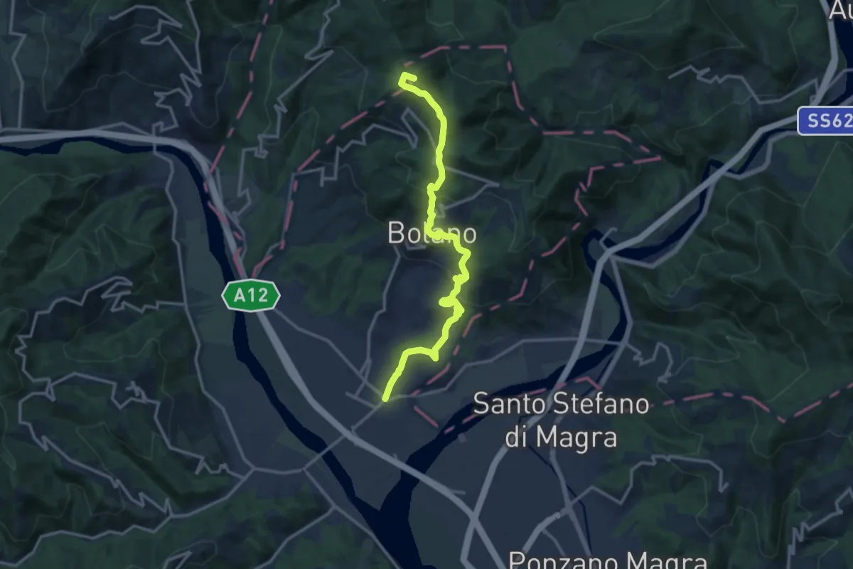
Medium · Summit
Valico dei Solini – Ceparana
13.9 km · ↑ 765 m · 4 h 56 min · 8 km away
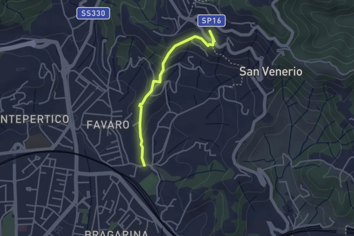
Easy · Trail
La Pieve – Carozzo (via della Lobbia)
2.9 km · ↑ 127 m · 57 min · 9 km away
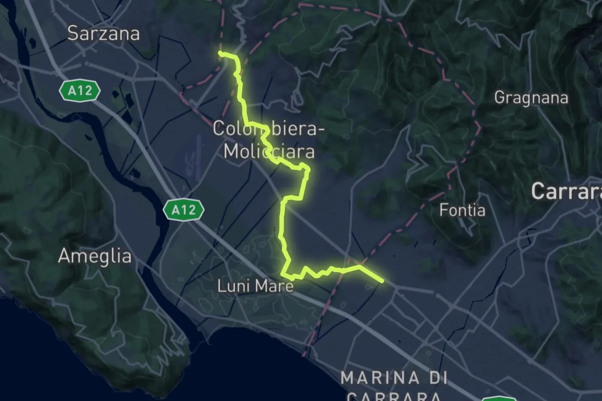
Medium · Pilgrim path
Via Francigena - 06 Toscana
10.5 km · ↑ 63 m · 2 h 44 min · 9 km away