Trails near Savona
98 hikes starting within 15 km, nearest first.
Nearest first, page 2 of 3
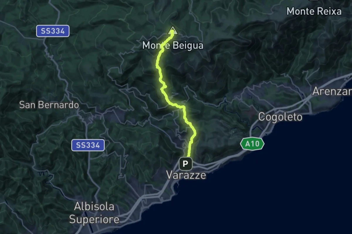
Demanding · Summit
Varazze – Monte Beigua
20.4 km · ↑ 1374 m · 7 h 47 min · 10 km away
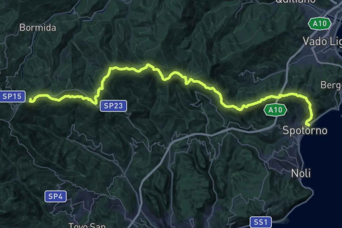
Demanding · Summit
Terre Alte
44.8 km · ↑ 2136 m · 15 h 12 min · 10 km away
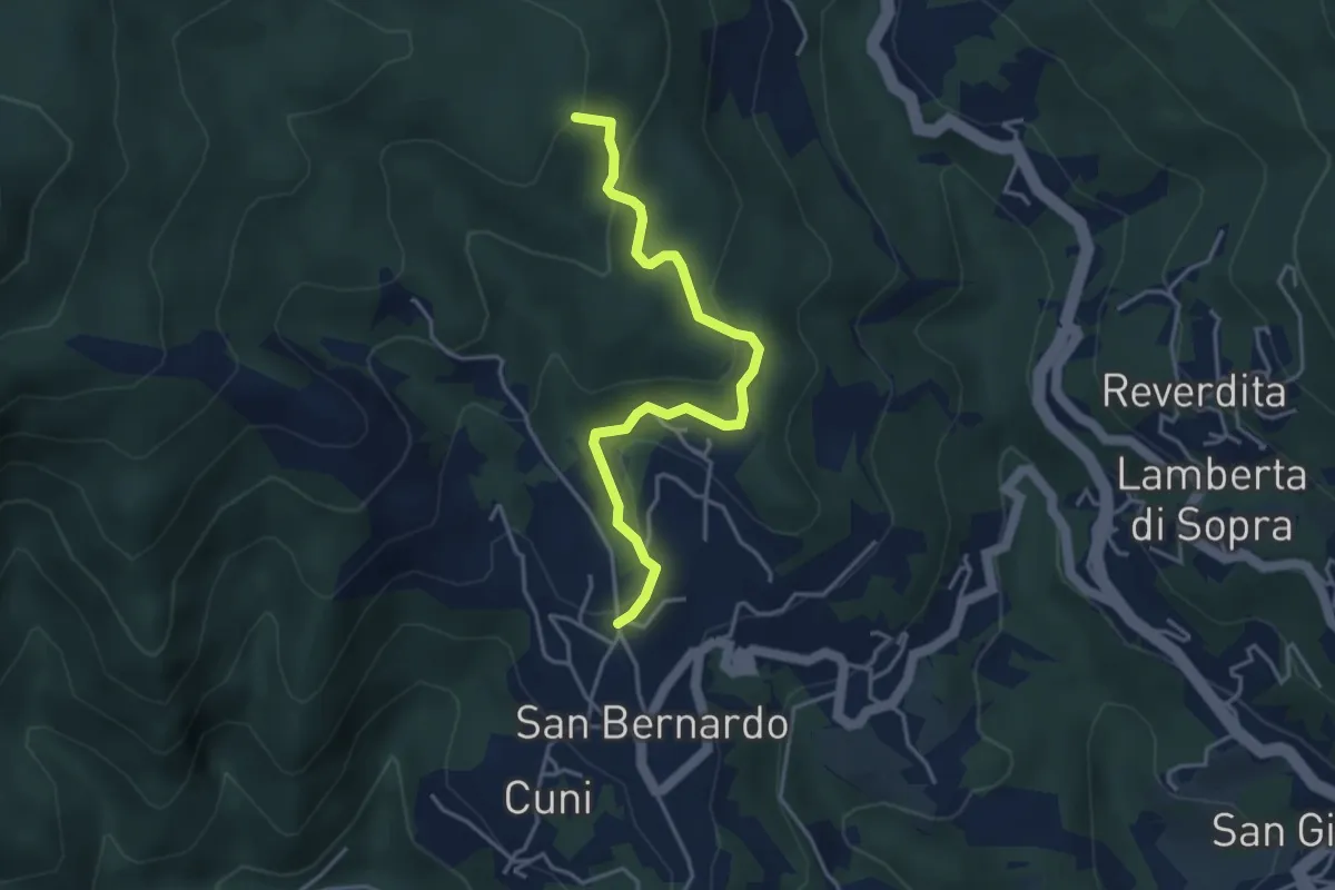
Easy · Summit
San Bernardo - Giovo
4.1 km · ↑ 177 m · 1 h 22 min · 10 km away
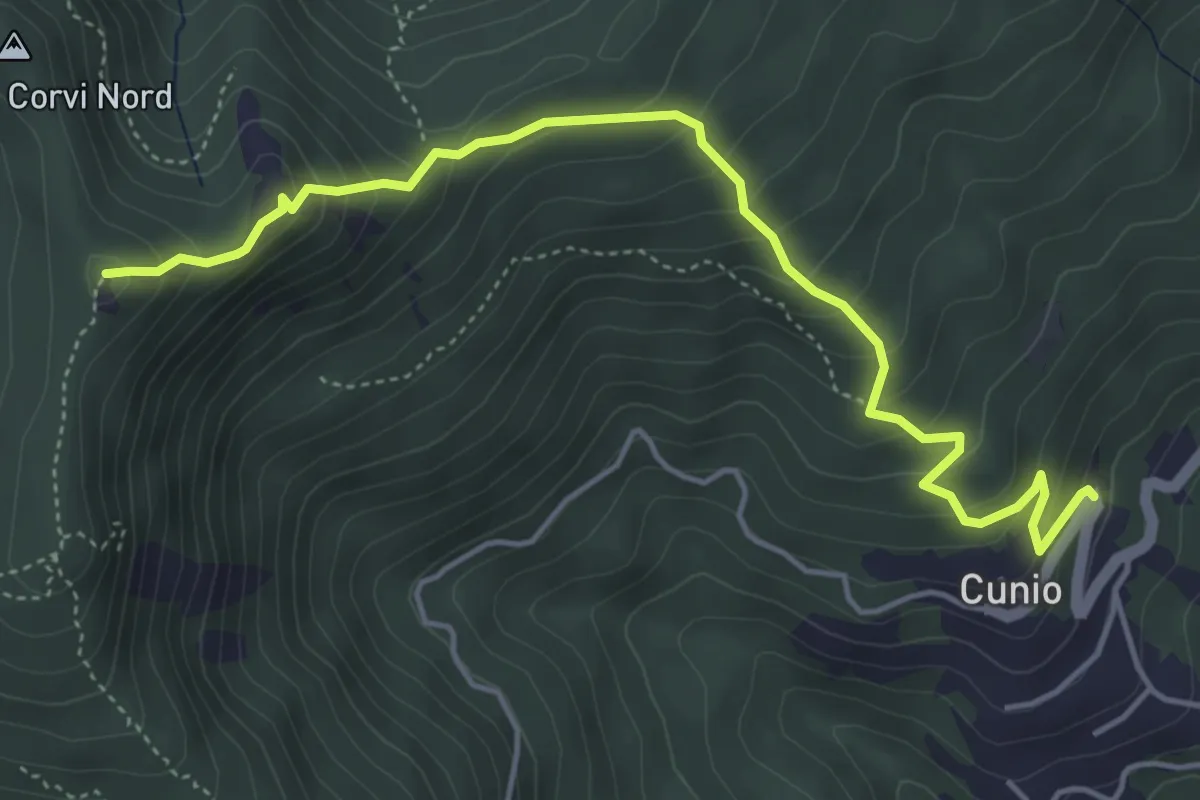
Demanding · Summit
Cunio - Rocca dei Corvi
5.4 km · ↑ 458 m · 2 h 16 min · 10 km away
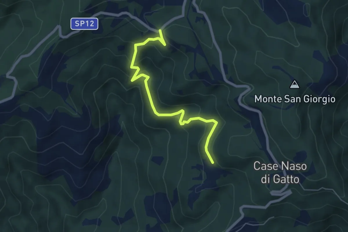
Easy · Trail
Gallina - Case Teggia - Case Bricco - Traversine
5.4 km · ↑ 317 m · 1 h 58 min · 11 km away
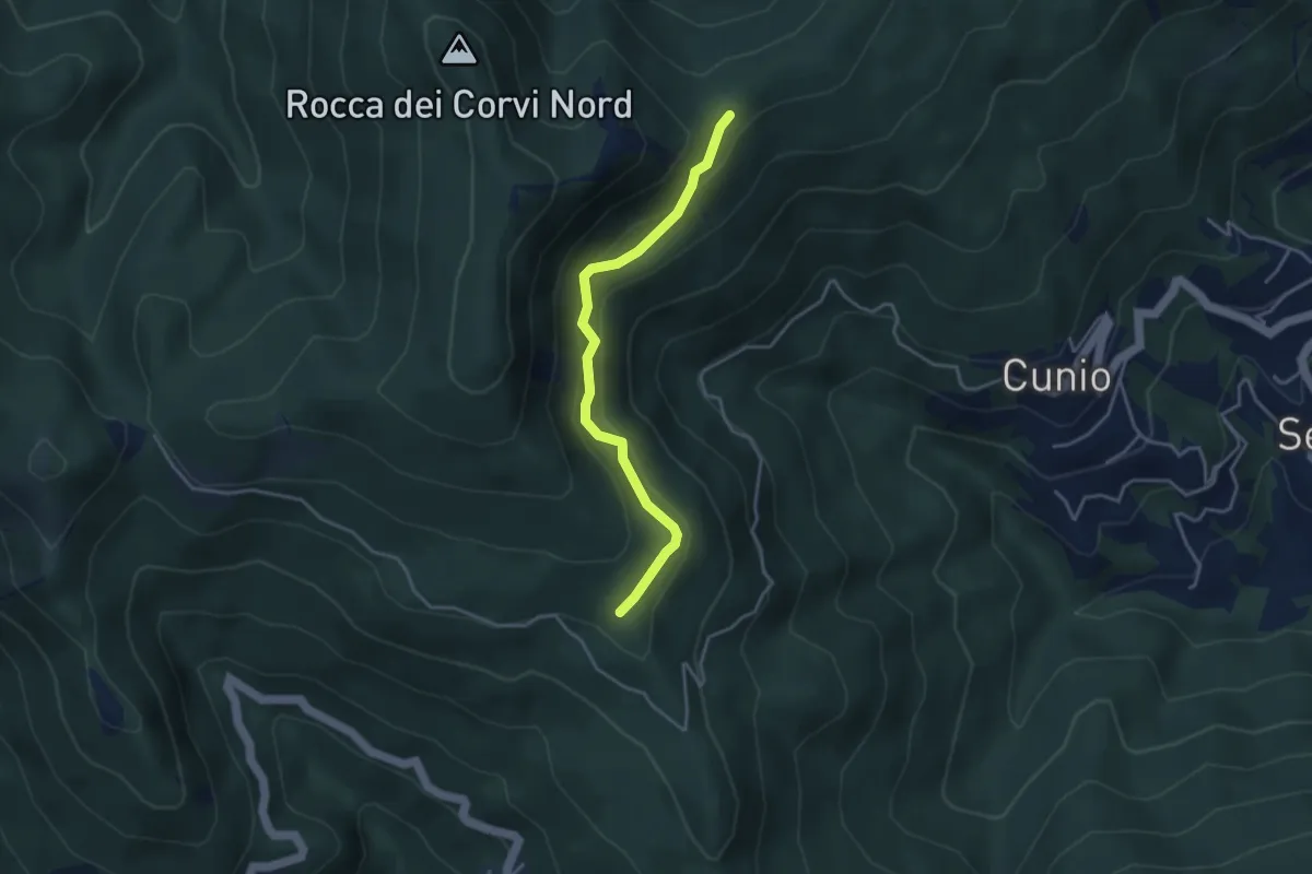
Easy · Trail
Collegamento est Rocca dei Corvi
3.8 km · ↑ 189 m · 1 h 18 min · 11 km away
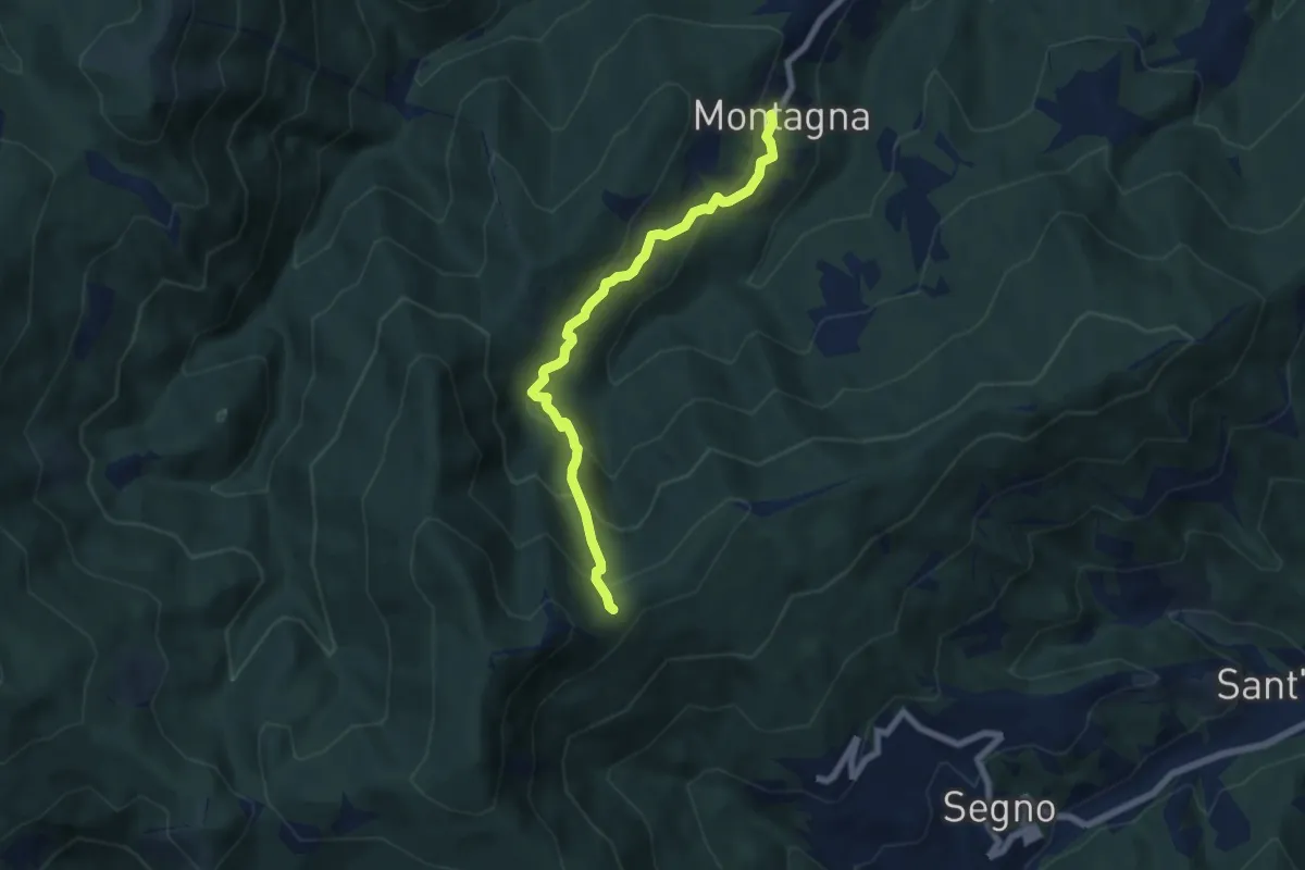
Medium · Trail
Montagna - Rocca dei Corvi
6.6 km · ↑ 498 m · 2 h 39 min · 11 km away
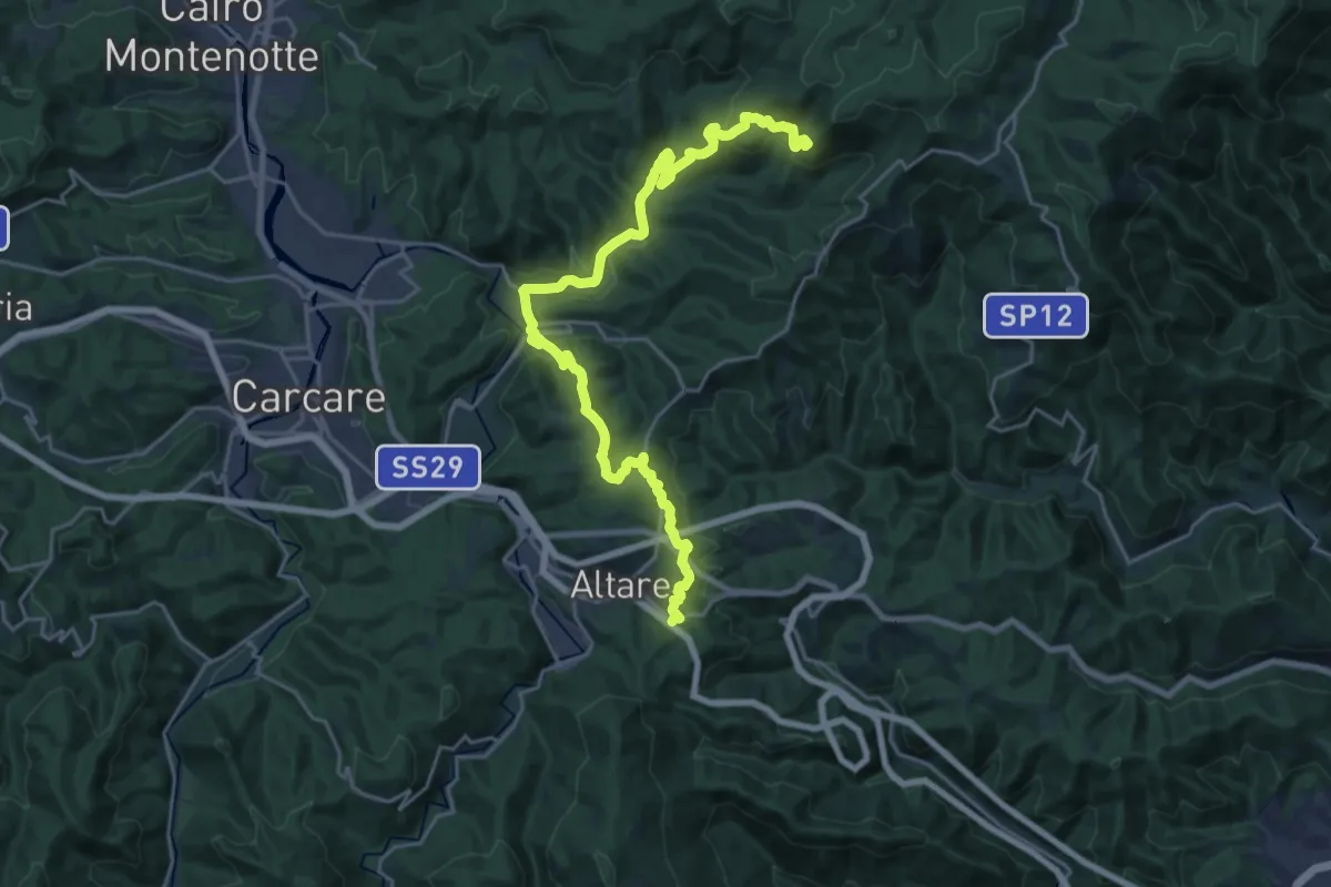
Demanding · Summit
Colle di Cadibona - Rifugio Cascina Miera
26.6 km · ↑ 845 m · 8 h 7 min · 11 km away
Medium · Summit
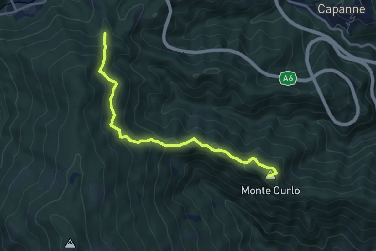
Quiliano – AV
7.0 km · ↑ 335 m · 2 h 23 min · 11 km away
Medium · Summit
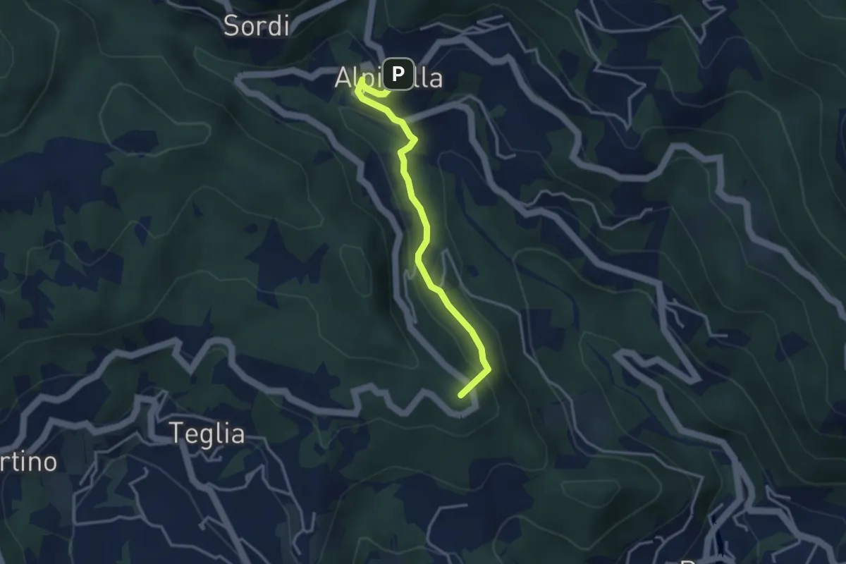
Alpicella – Scavi archeologici
3.2 km · ↑ 164 m · 1 h 7 min · 11 km away
Medium · Summit
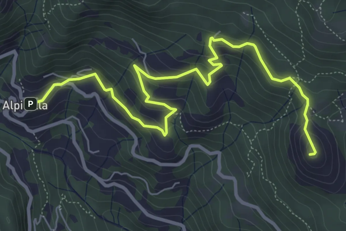
Alpicella – Monte Greppino
7.7 km · ↑ 410 m · 2 h 43 min · 11 km away
Demanding · Summit
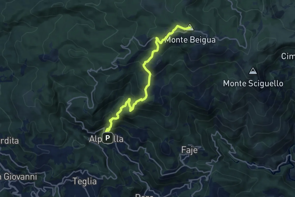
Alpicella – Monte Beigua
12.9 km · ↑ 908 m · 5 h 1 min · 11 km away
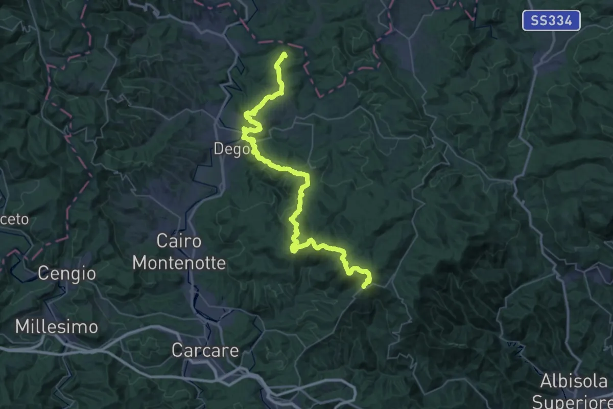
Demanding · Summit
Bormida Natura - Tappa 1
45.4 km · ↑ 1574 m · 14 h 8 min · 11 km away
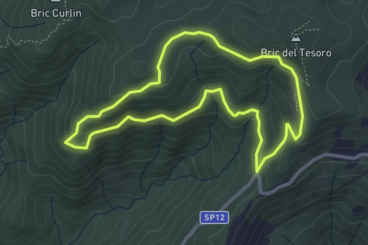
Medium · Summit
Adelasia - Sentiero 1
4.6 km · ↑ 230 m · 1 h 40 min · 11 km away
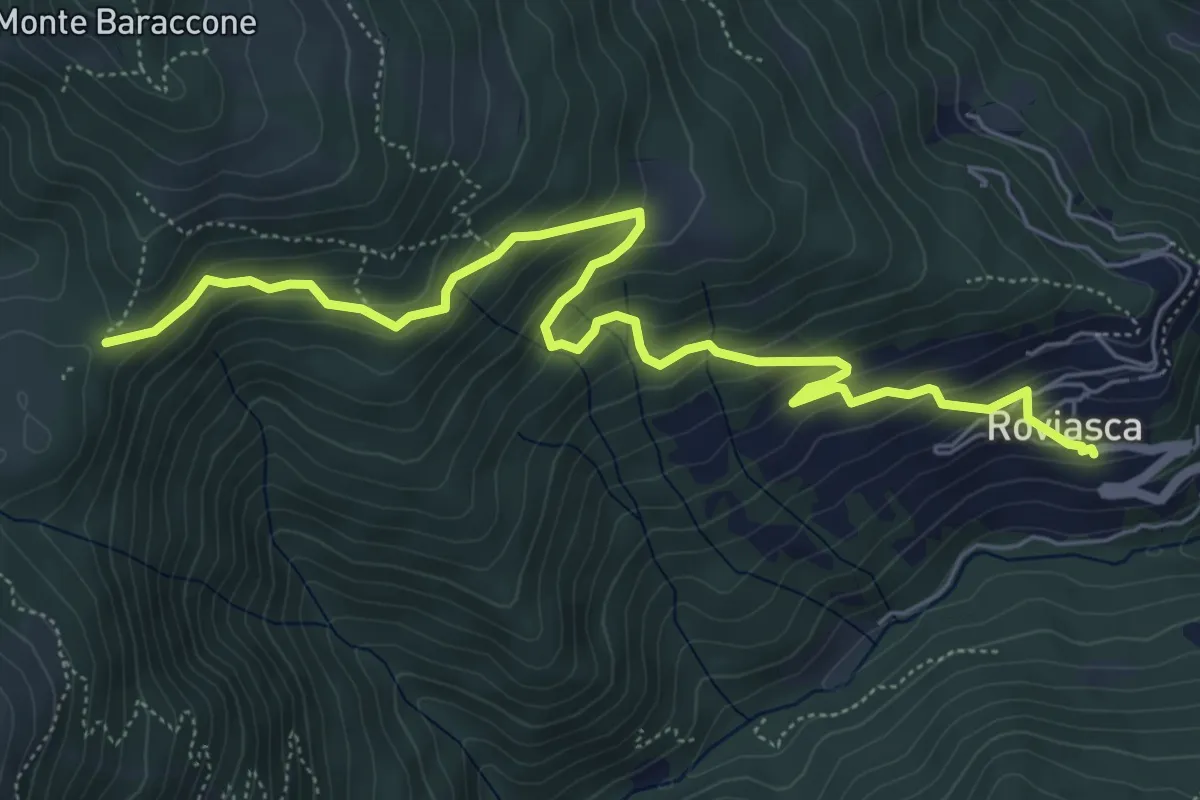
Medium · Trail
Roviasca – Colle del Baraccone
7.2 km · ↑ 459 m · 2 h 42 min · 12 km away
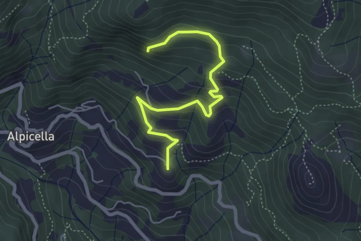
Easy · Summit
Alpicella – S. Anna
4.7 km · ↑ 319 m · 1 h 48 min · 12 km away
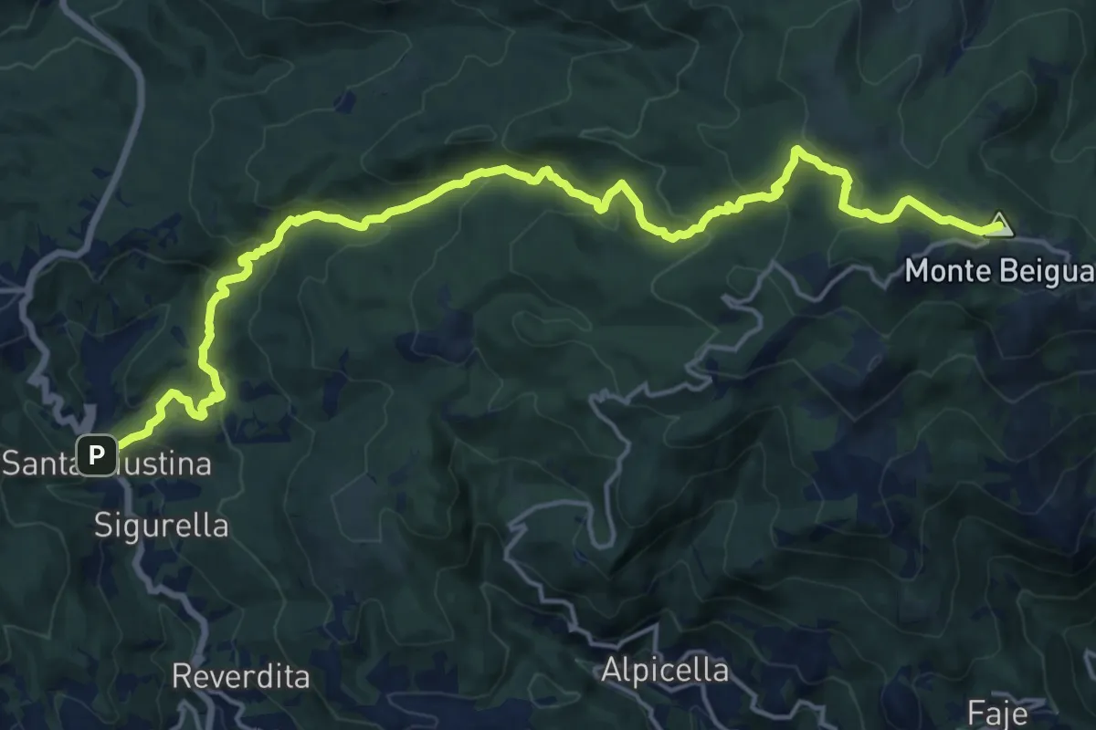
Demanding · Summit
Stella Santa Giustina – Croce Monte Beigua
20.8 km · ↑ 1043 m · 7 h 11 min · 12 km away
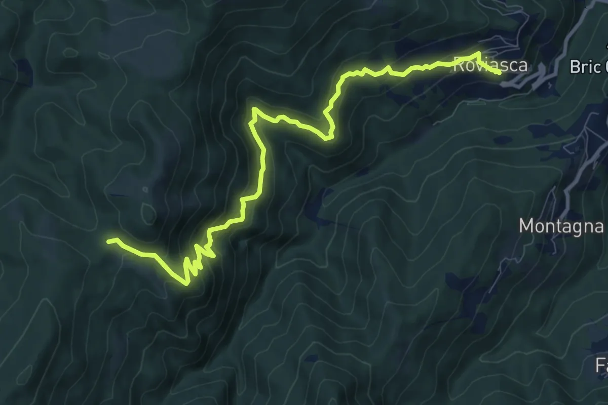
Medium · Trail
Roviasca – Colle del Termine
10.9 km · ↑ 724 m · 4 h 9 min · 12 km away
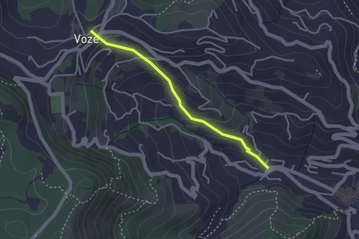
Easy · Trail
Strada Romana Noli - Voze
2.7 km · ↑ 171 m · 1 h 1 min · 12 km away
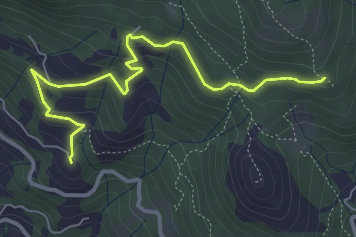
Medium · Summit
Alpicella – Strada Megalitica
5.5 km · ↑ 311 m · 1 h 59 min · 12 km away
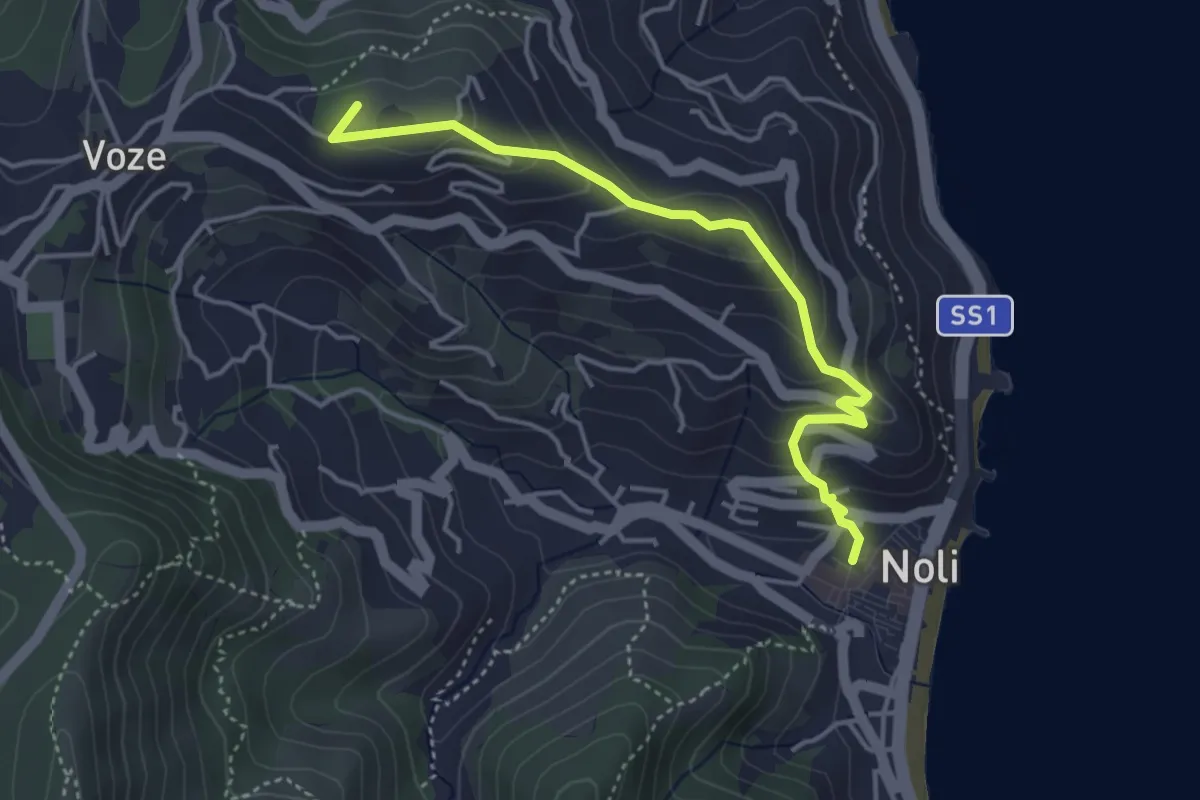
Easy · Summit
Noli, Castello, Bric Groppino, Voze
4.3 km · ↑ 225 m · 1 h 30 min · 13 km away
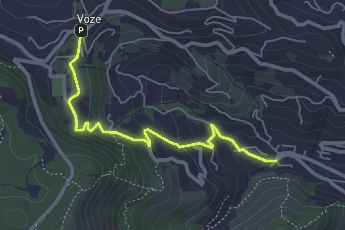
Easy · Trail
Noli - Luminella - Voze
4.5 km · ↑ 227 m · 1 h 33 min · 13 km away
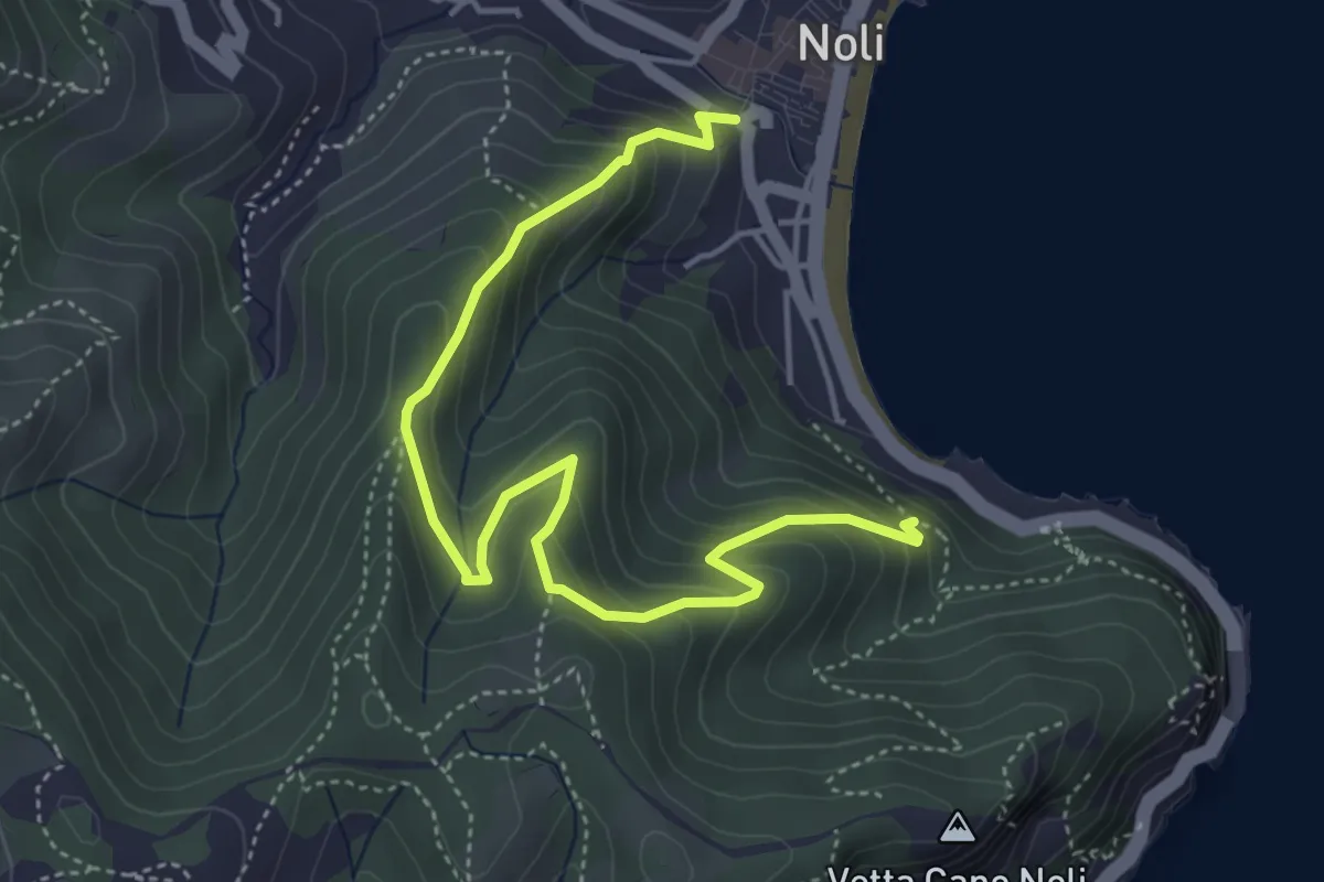
Medium · Trail
Sentiero Amico
5.4 km · ↑ 450 m · 2 h 15 min · 13 km away
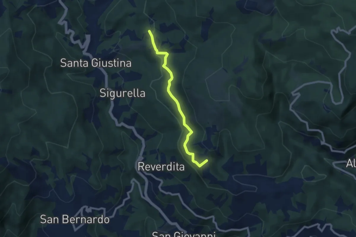
Easy · Summit
Prati del Prezzemolo
5.5 km · ↑ 190 m · 1 h 43 min · 13 km away
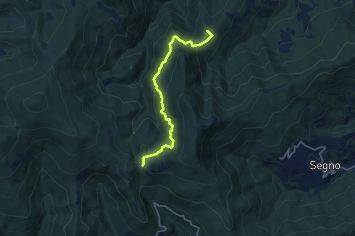
Medium · Summit
Montagna - Rocche Bianche (diretta)
8.7 km · ↑ 419 m · 2 h 58 min · 13 km away
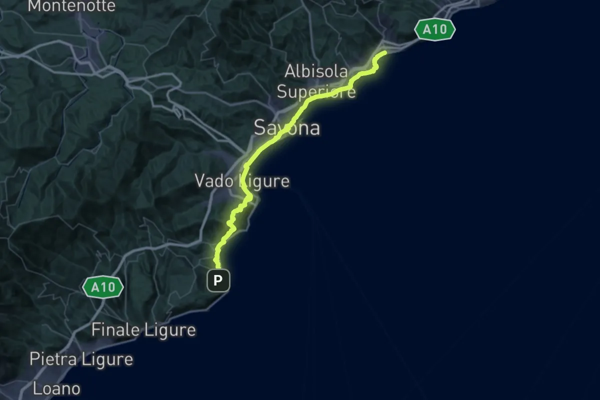
Demanding · Trail
Via della Costa - tappa 6
28.2 km · ↑ 677 m · 8 h 31 min · 13 km away
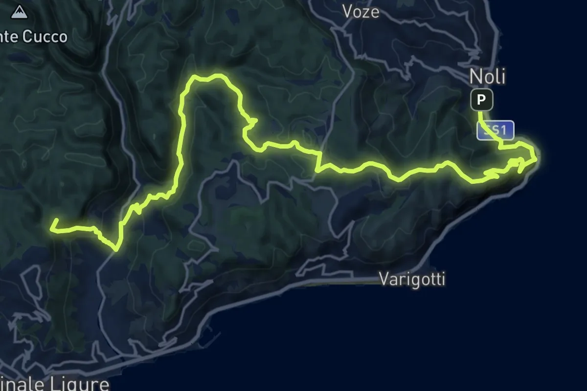
Demanding · Summit
Via della Costa - tappa 5
25.6 km · ↑ 1240 m · 8 h 44 min · 13 km away
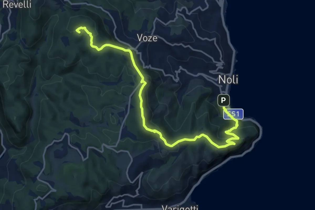
Medium · Summit
Noli – C. La Magnone
14.6 km · ↑ 678 m · 4 h 55 min · 13 km away
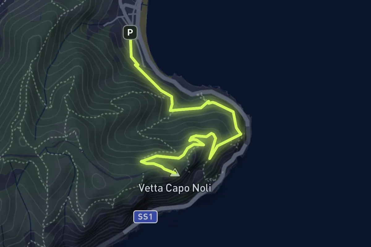
Medium · Summit
Noli – Capo Noli Vetta
5.4 km · ↑ 450 m · 2 h 15 min · 13 km away
Demanding · Summit
Collegamento tra "Croce Rossa" e "Traingolo Rosso Vuoto"
1.8 km · ↑ 123 m · 42 min · 13 km away
Demanding · Summit
Finalpia - Colla di Magnone
6.9 km · ↑ 266 m · 2 h 13 min · 13 km away
Easy · Summit
Colla Magnone - Santa Libera - Colla di San Giacomo
6.9 km · ↑ 283 m · 2 h 15 min · 13 km away
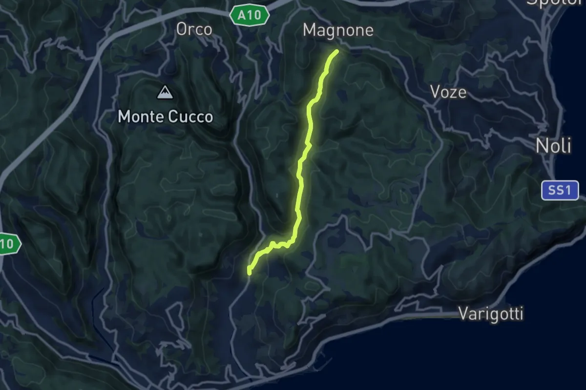
Medium · Trail
Calvisio – Colla Magnone
9.1 km · ↑ 378 m · 2 h 57 min · 13 km away
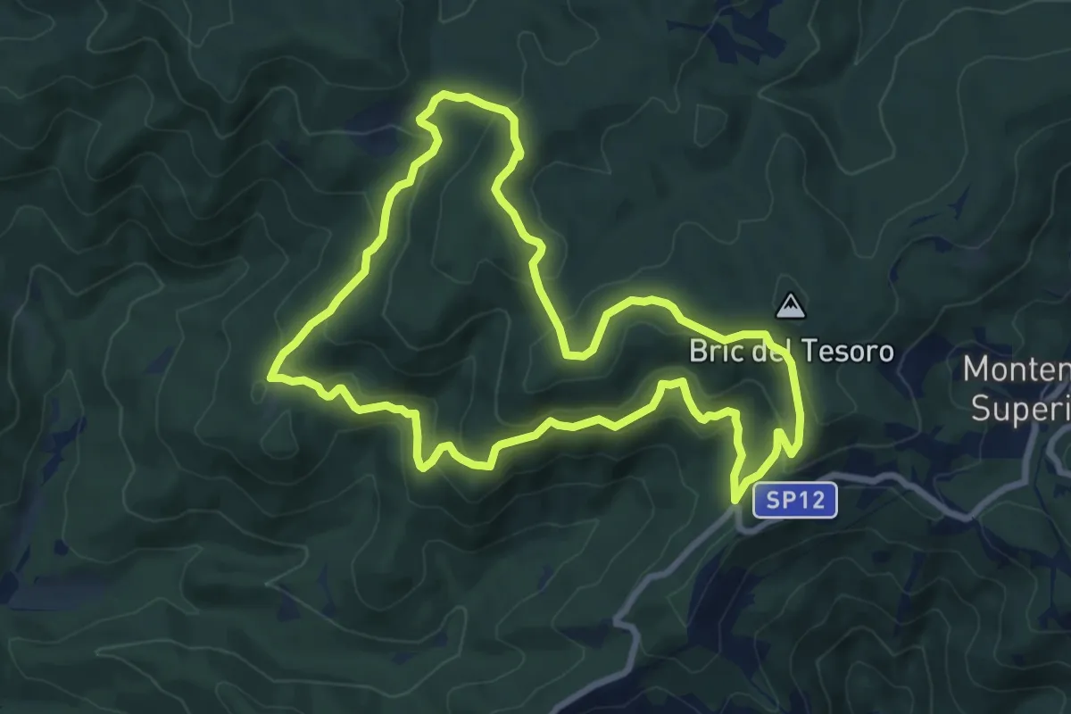
Medium · Summit
Adelasia - Sentiero Airone
8.2 km · ↑ 356 m · 2 h 49 min · 13 km away
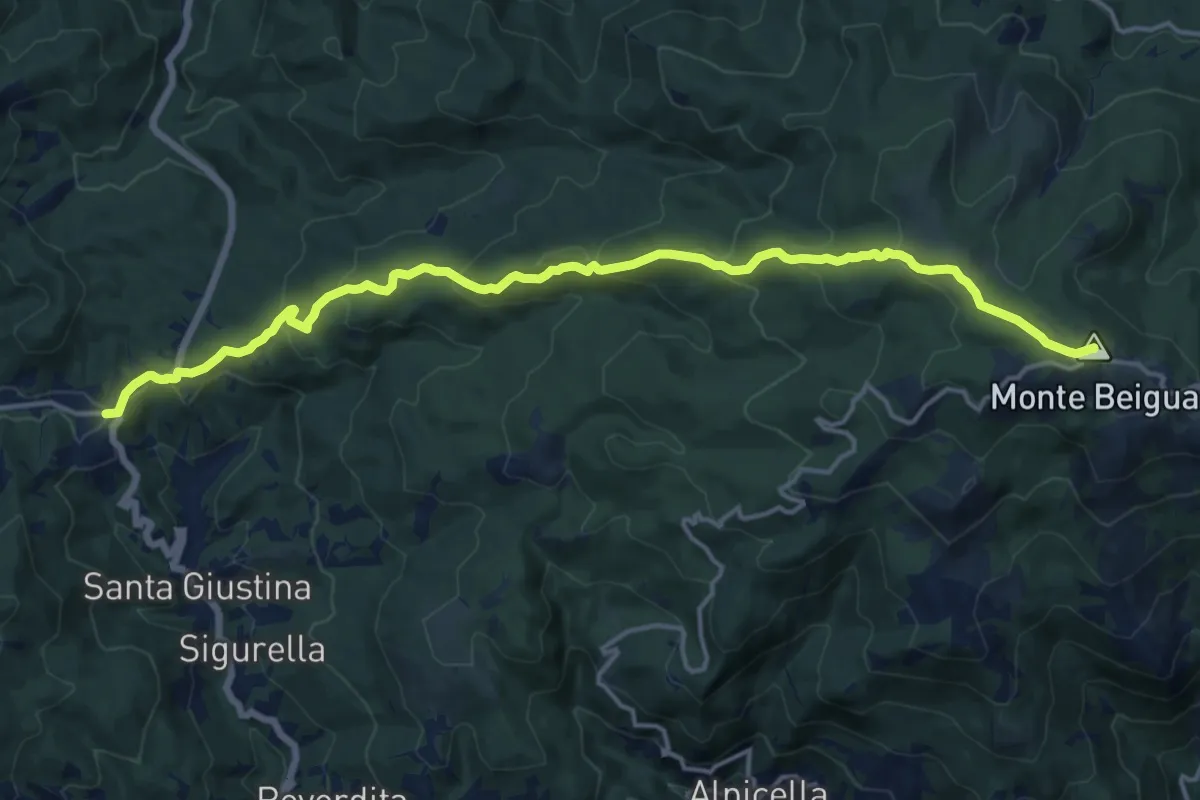
Demanding · Summit
Il Giovo - Prato Rotondo
17.6 km · ↑ 839 m · 5 h 59 min · 13 km away
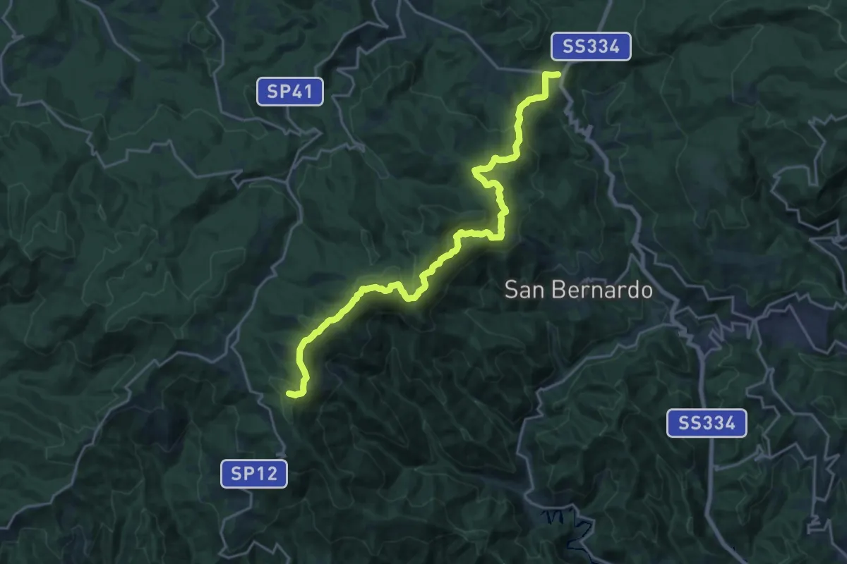
Demanding · Summit
Rifugio Cascina Miera - Il Giovo
21.1 km · ↑ 847 m · 6 h 49 min · 13 km away
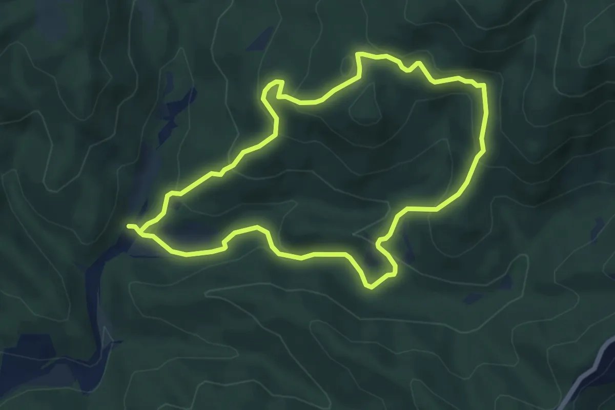
Easy · Summit
Adelasia - Sentiero 2
5.4 km · ↑ 251 m · 1 h 53 min · 13 km away
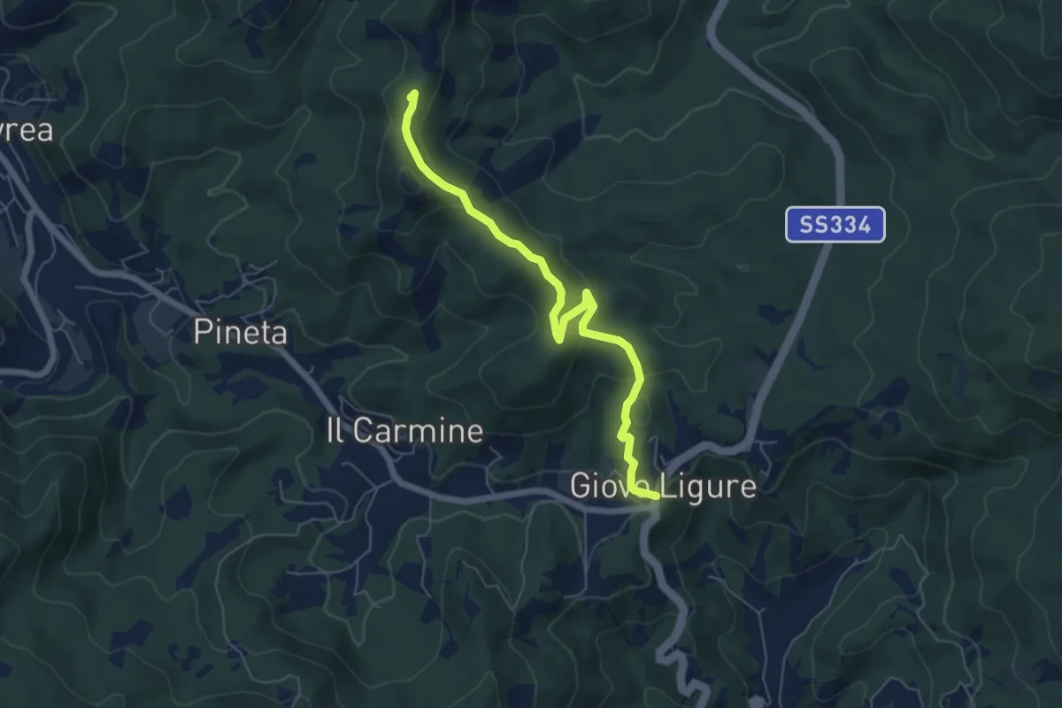
Easy · Summit
Giovo Ligure - Passo di Salmaceto
6.1 km · ↑ 225 m · 1 h 56 min · 14 km away
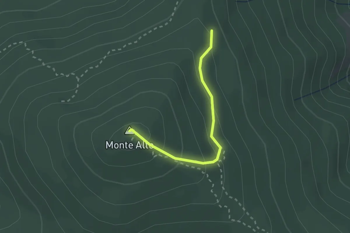
Medium · Summit
Sentiero R
2.0 km · ↑ 135 m · 46 min · 14 km away
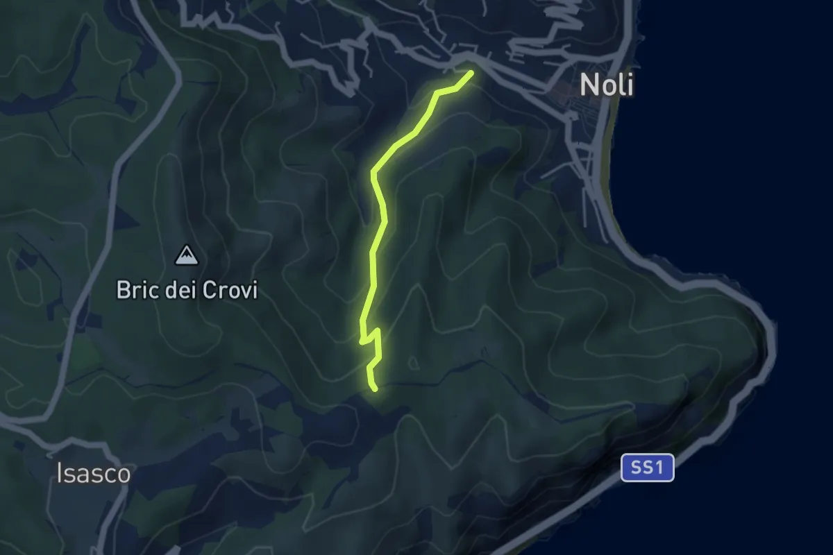
Easy · Trail
Sentiero Acquaviva
3.3 km · ↑ 242 m · 1 h 19 min · 14 km away
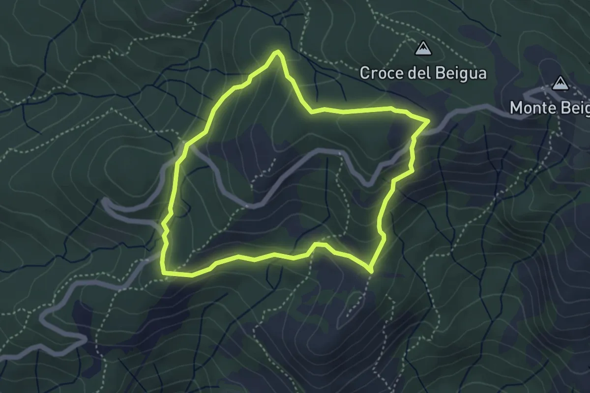
Medium · Summit
Sentiero Napoleonico del Beigua "rosso"
3.9 km · ↑ 177 m · 1 h 22 min · 14 km away
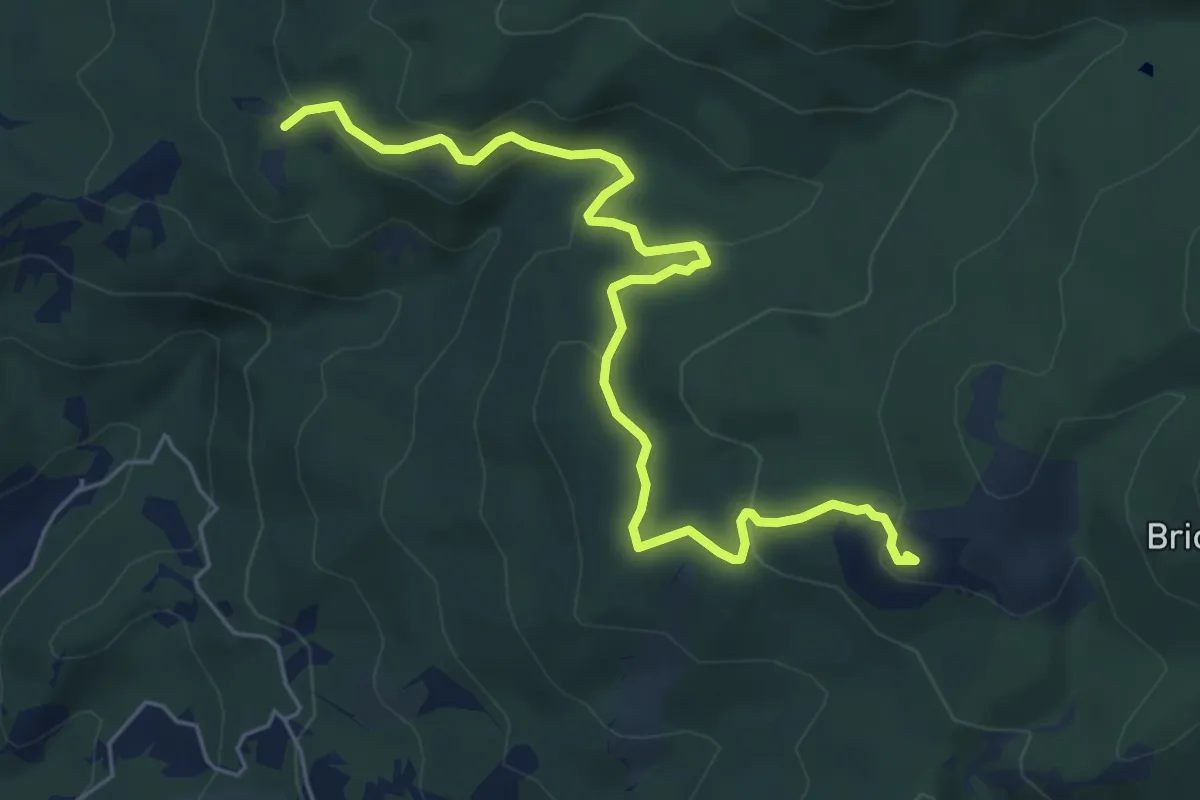
Medium · Summit
Collegamento AVML - Sentiero cerchio barrato
6.8 km · ↑ 270 m · 2 h 11 min · 14 km away
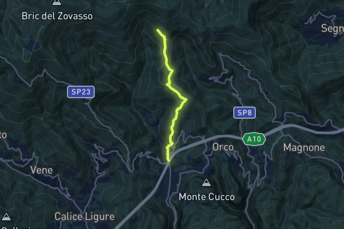
Medium · Trail
Feglino - Croce del Savio
9.3 km · ↑ 512 m · 3 h 19 min · 14 km away
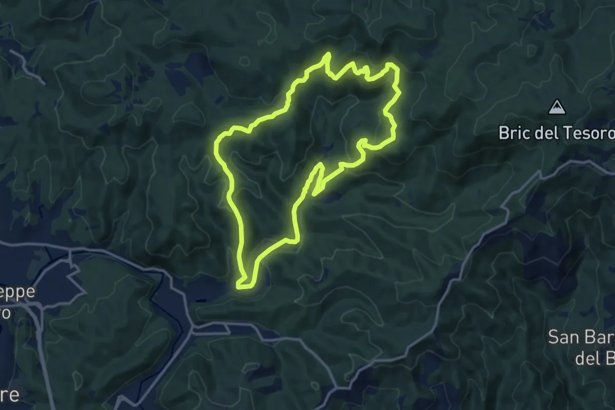
Medium · Summit
Adelasia Trail
11.6 km · ↑ 458 m · 3 h 53 min · 14 km away
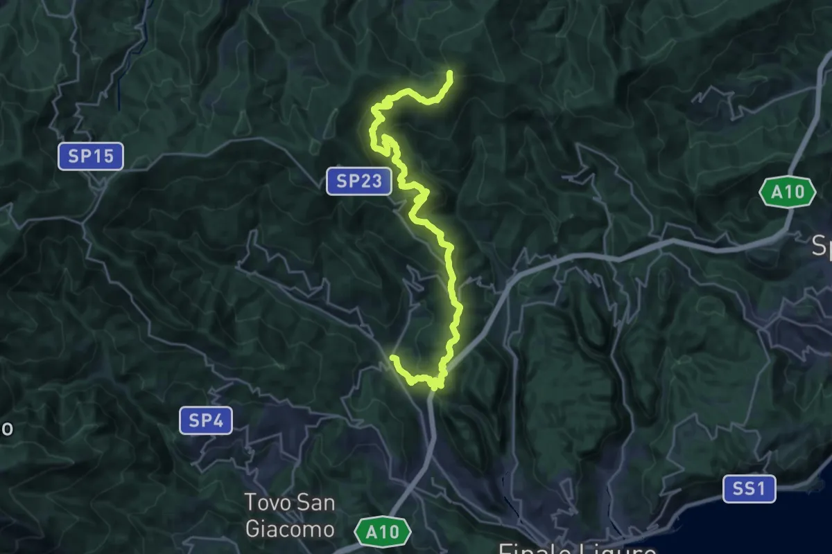
Medium · Trail
Calice Ligure - Colla di San Giacomo
13.5 km · ↑ 275 m · 4 h 20 min · 15 km away
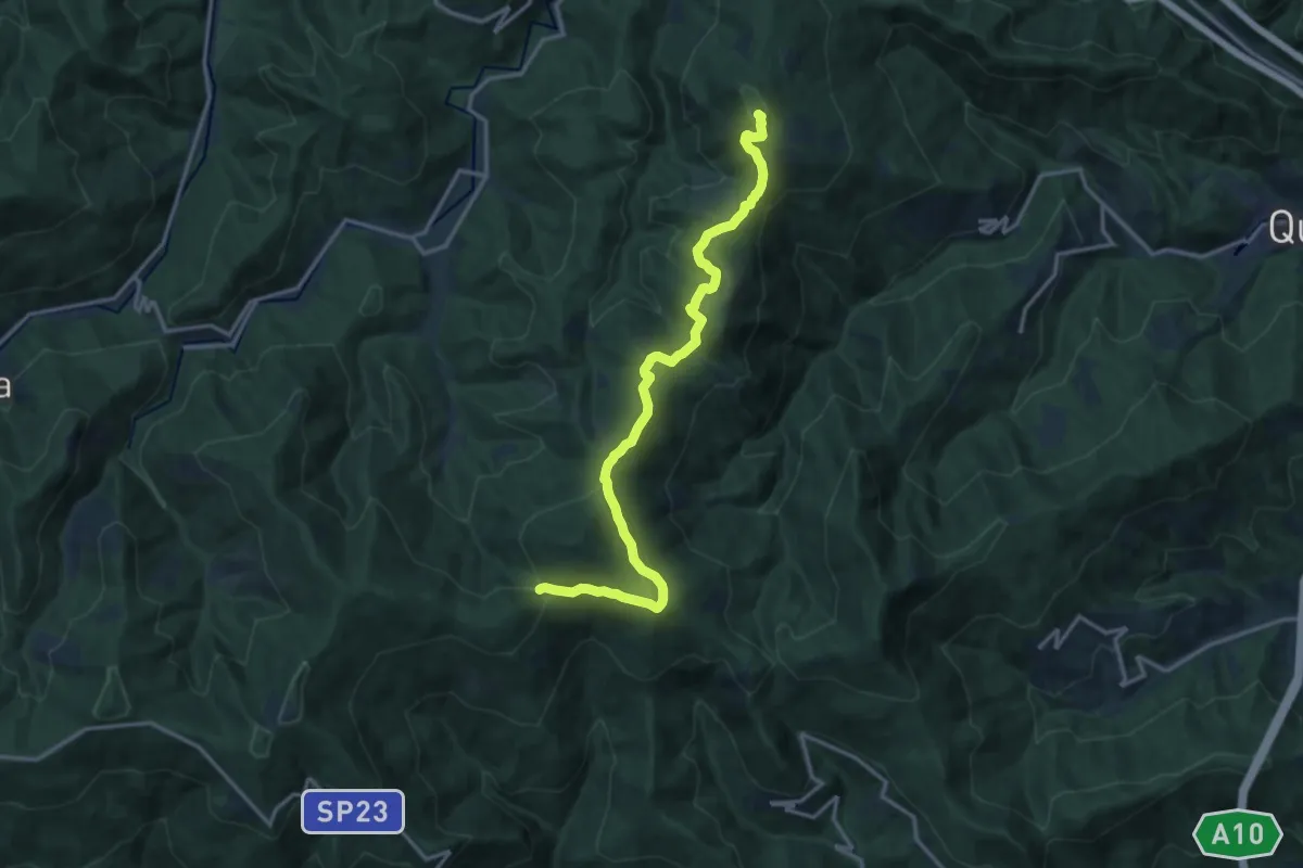
Medium · Summit
Colla di San Giacomo - Colle di Cadibona
15.9 km · ↑ 587 m · 5 h 2 min · 15 km away
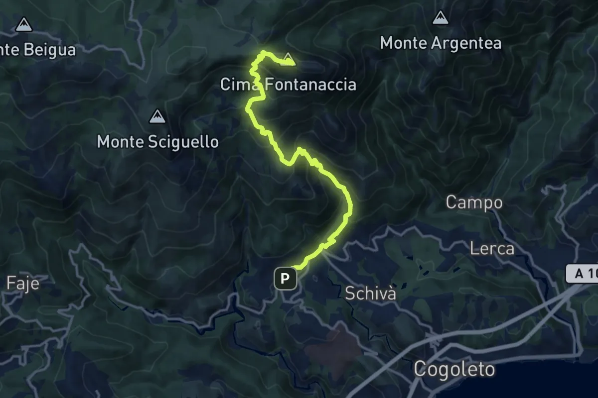
Demanding · Summit
Sciarborasca – Monte Rama
12.3 km · ↑ 998 m · 5 h 4 min · 15 km away
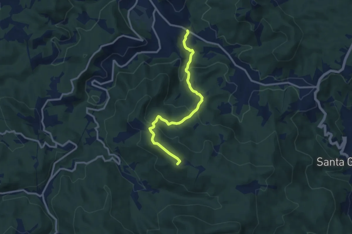
Medium · Summit
Pontinvrea – Pendici Nord Bric Sciappa
7.4 km · ↑ 344 m · 2 h 30 min · 15 km away