Trails near Scandiano
79 hikes starting within 15 km, nearest first.
Nearest first, page 2 of 2
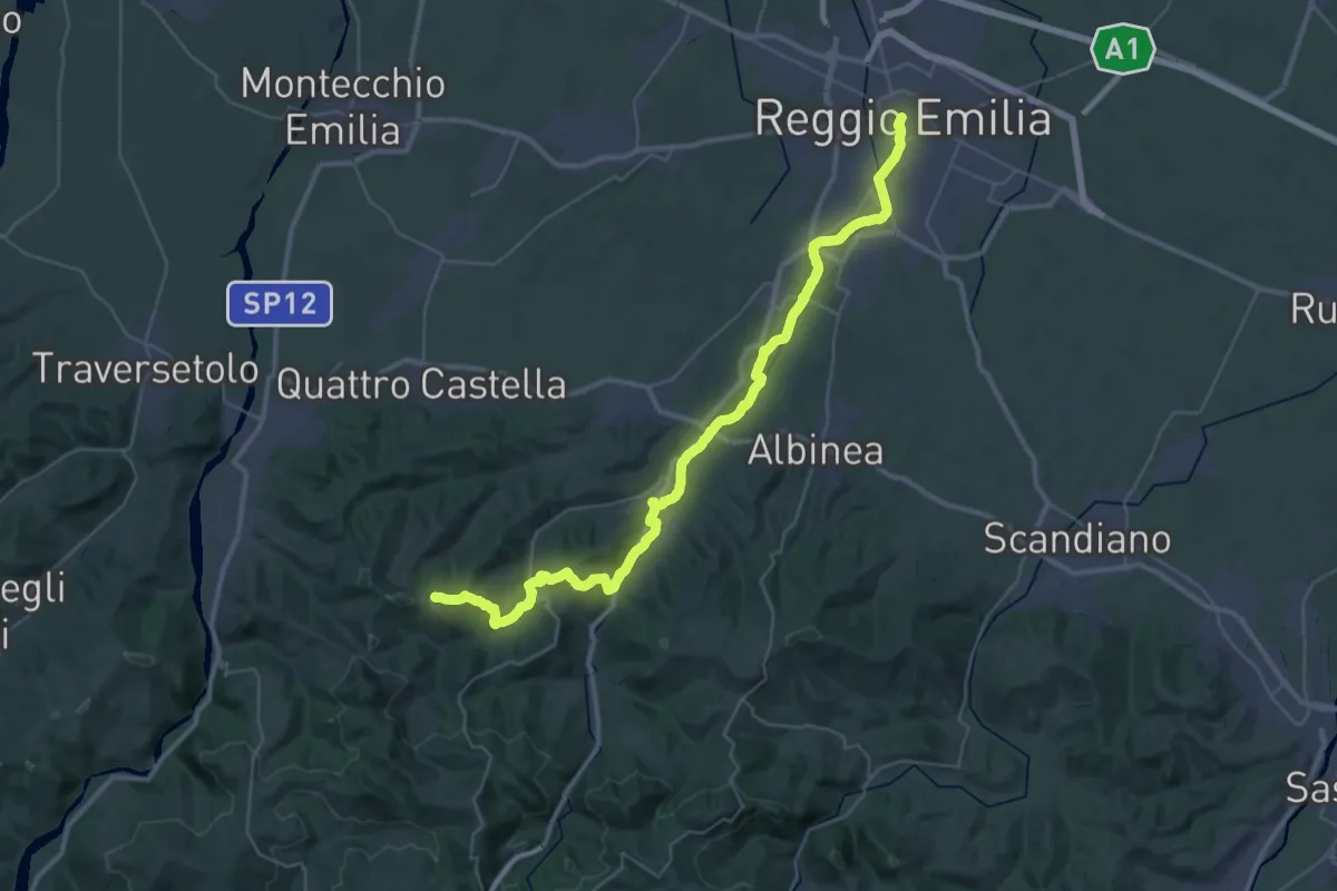
Demanding · Summit
Via Matildica del Volto Santo: Tappa 4
47.8 km · ↑ 911 m · 13 h 16 min · 12 km away
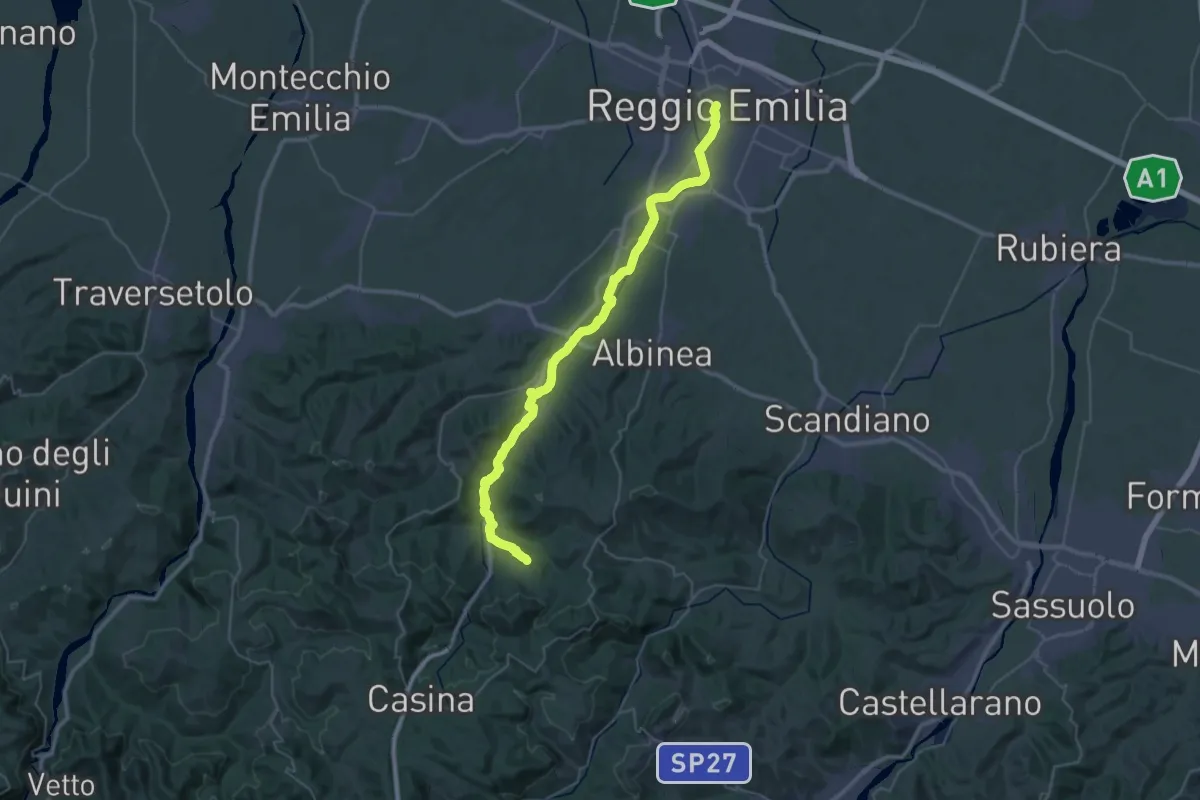
Demanding · Trail
Via Matildica del Volto Santo: Tappa 4B
22.4 km · ↑ 366 m · 6 h 15 min · 12 km away
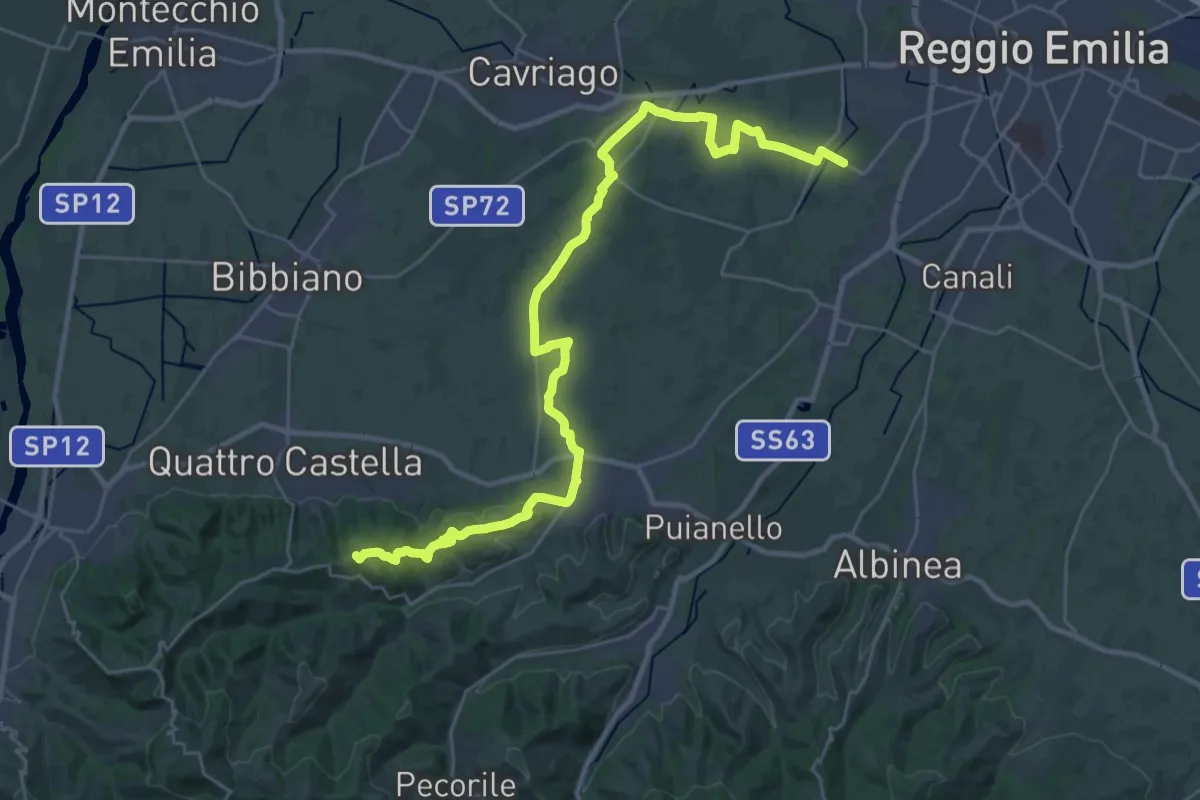
Demanding · Summit
Strada della Biodiversità
36.4 km · ↑ 424 m · 9 h 30 min · 12 km away
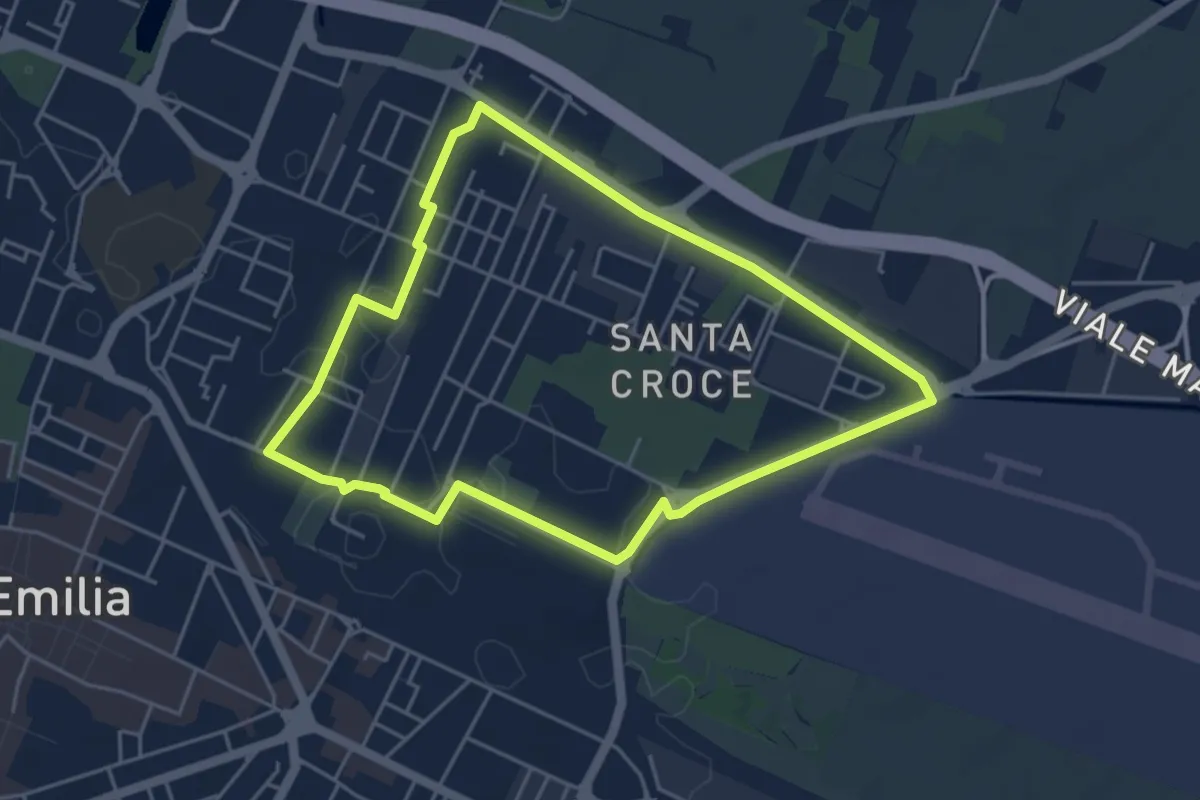
Easy · Trail
Anello di Santa Croce
4.6 km · ↑ 9 m · 1 h 10 min · 12 km away
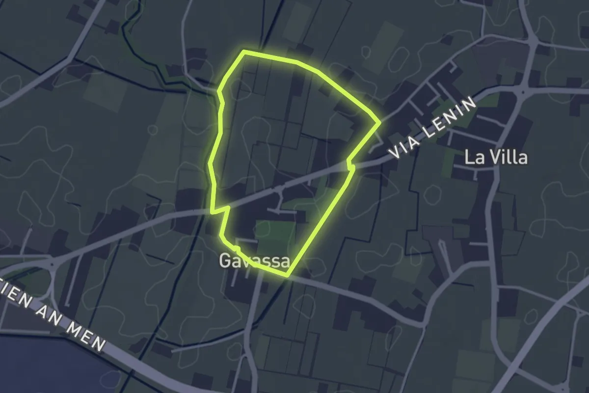
Easy · Trail
Anello di Gavassa
2.5 km · ↑ 4 m · 38 min · 12 km away
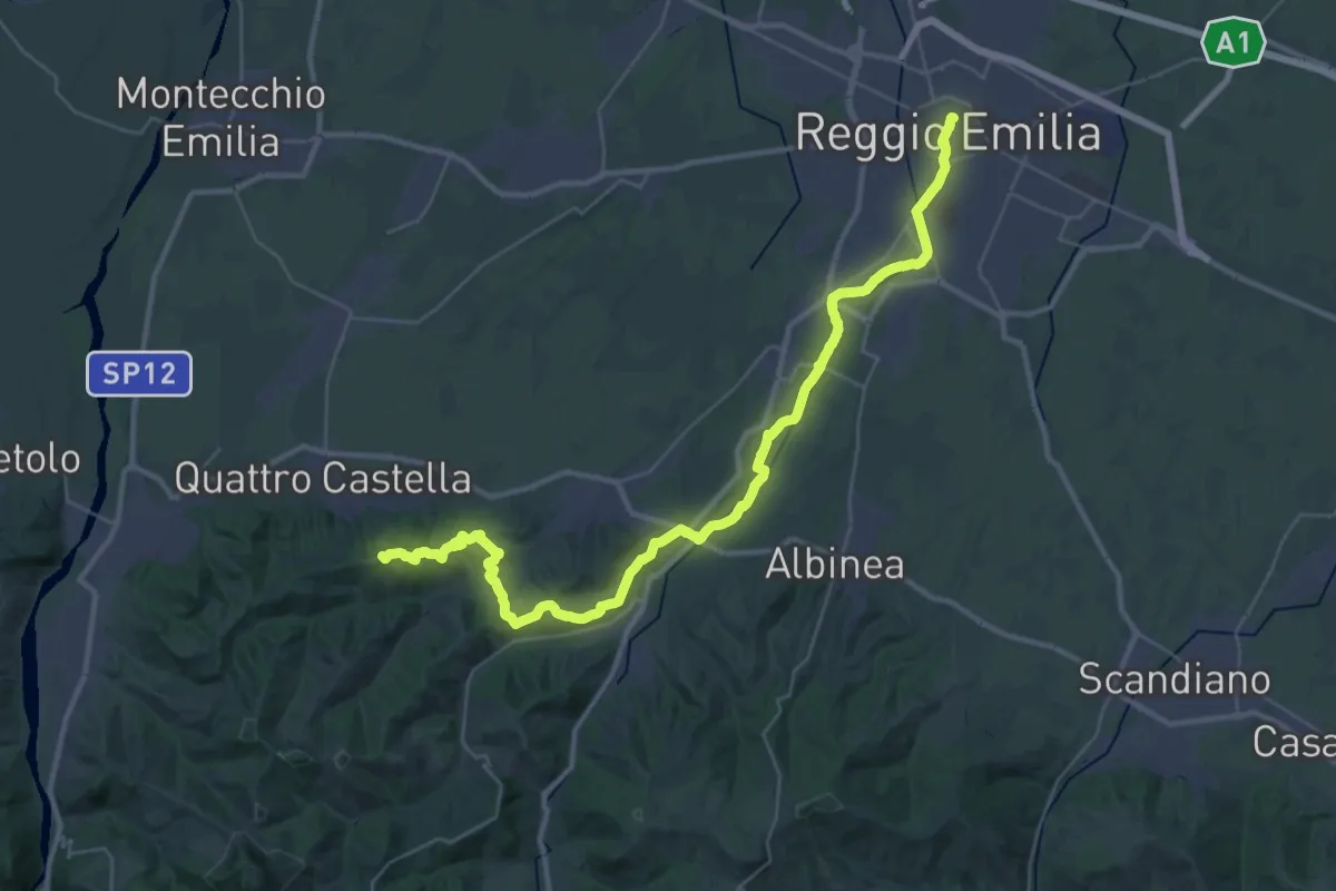
Demanding · Summit
Sentiero dei Ducati Tappa 01
43.7 km · ↑ 643 m · 11 h 42 min · 12 km away
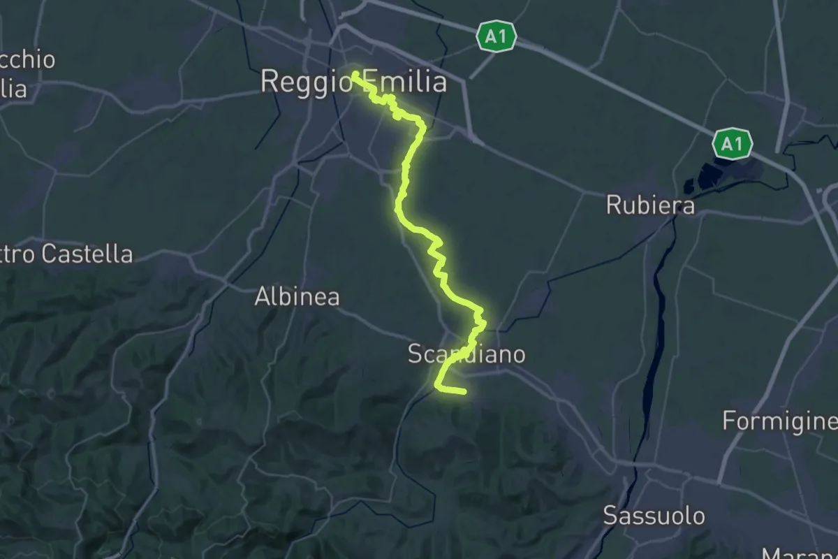
Demanding · Trail
Sentiero Lazzaro Spallanzani - Tappa 1
22.4 km · ↑ 103 m · 5 h 47 min · 12 km away
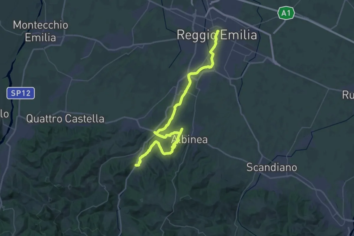
Demanding · Trail
Sentiero Partigiani 16 - sentiero della liberazione
22.5 km · ↑ 271 m · 6 h 10 min · 12 km away
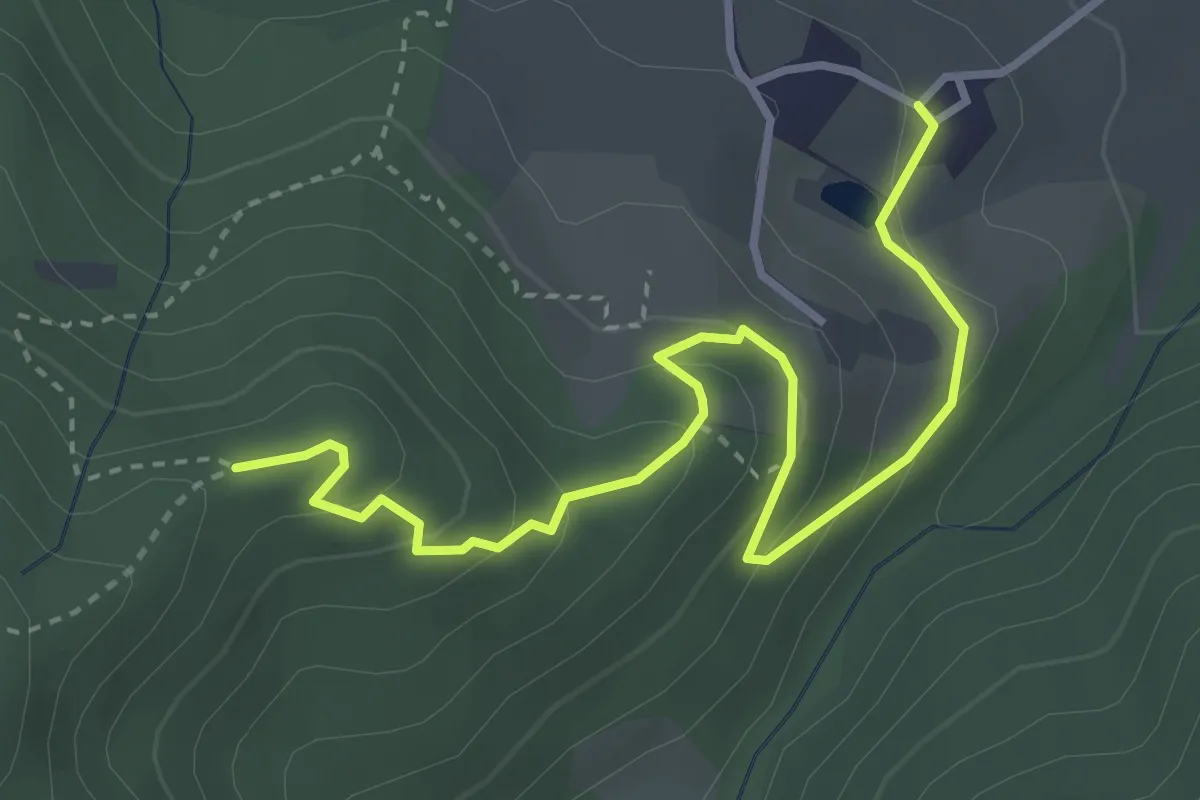
Easy · Trail
Cavazzone – Percorso 622A
4.0 km · ↑ 202 m · 1 h 23 min · 12 km away
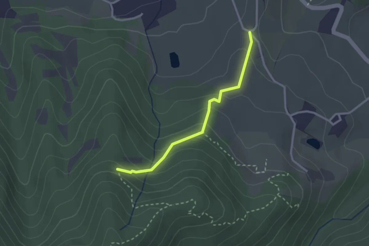
Medium · Trail
Percorso 622 – Percorso 622A
2.3 km · ↑ 151 m · 52 min · 12 km away
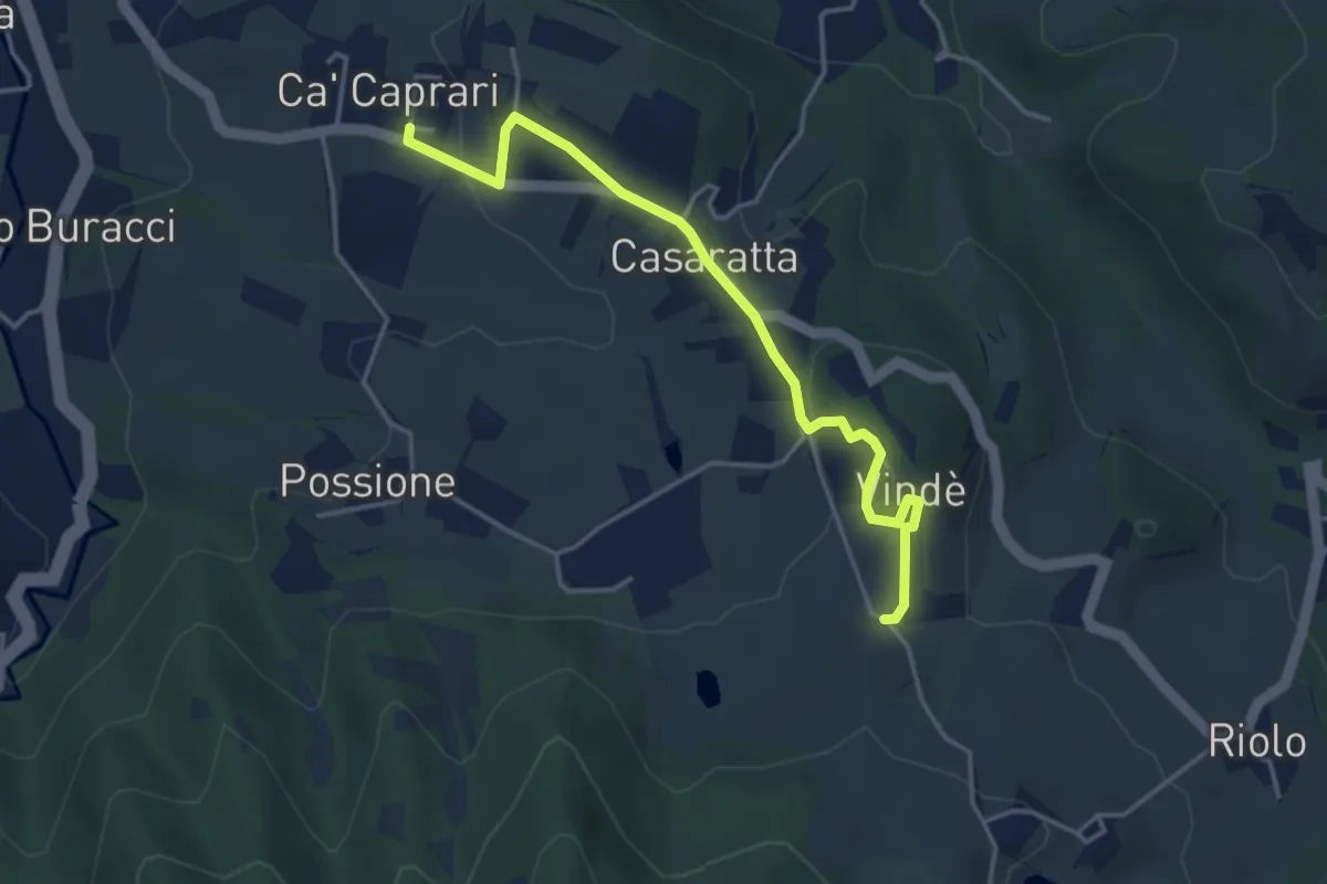
Easy · Trail
Ca' Caprari – Percorso 622
4.2 km · ↑ 100 m · 1 h 12 min · 12 km away
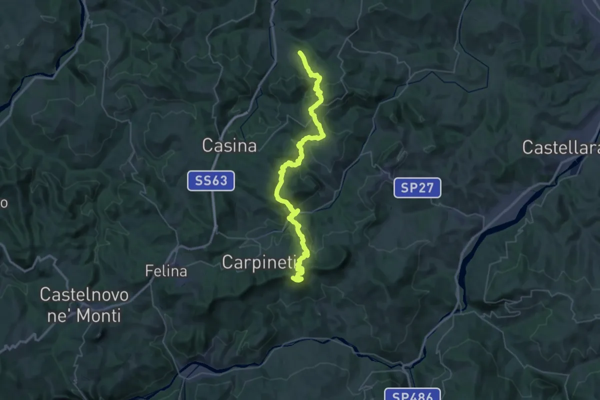
Demanding · Summit
Via Matildica del Volto Santo: Tappa 5B
40.5 km · ↑ 1873 m · 13 h 37 min · 12 km away
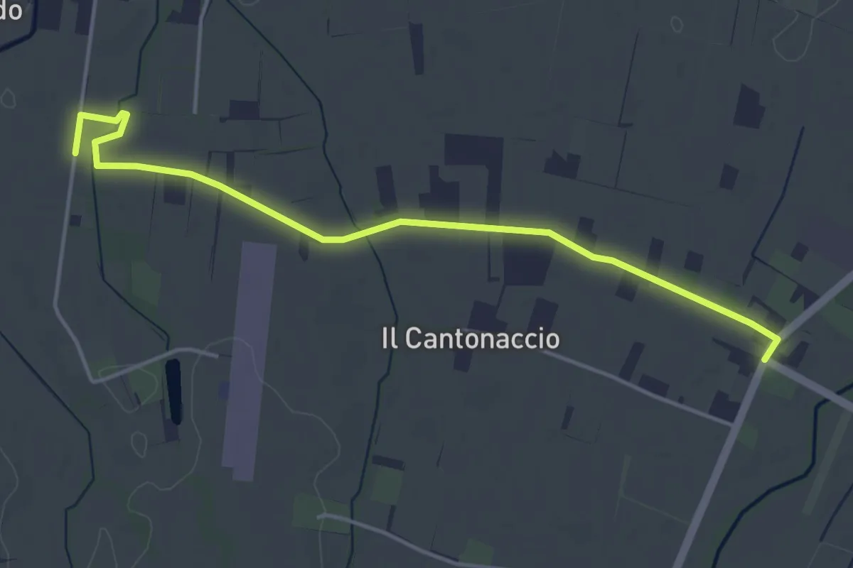
Easy · Trail
Variante Strada della Biodiversità
4.8 km · ↑ 9 m · 1 h 9 min · 12 km away
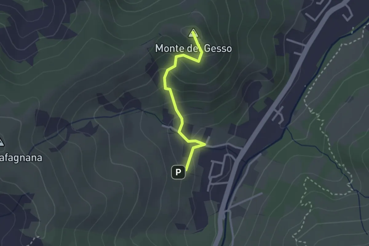
Easy · Summit
Percorso 646 – Monte del Gesso
2.3 km · ↑ 167 m · 54 min · 12 km away
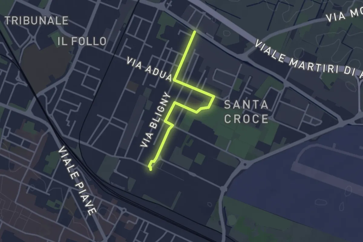
Easy · Trail
Traversa di Santa Croce
3.1 km · ↑ 4 m · 45 min · 12 km away
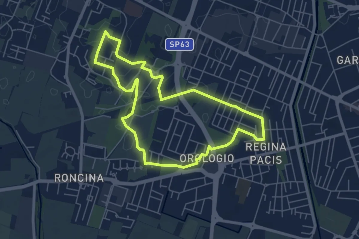
Easy · Trail
Anello Alex Langer
5.0 km · ↑ 12 m · 1 h 17 min · 13 km away
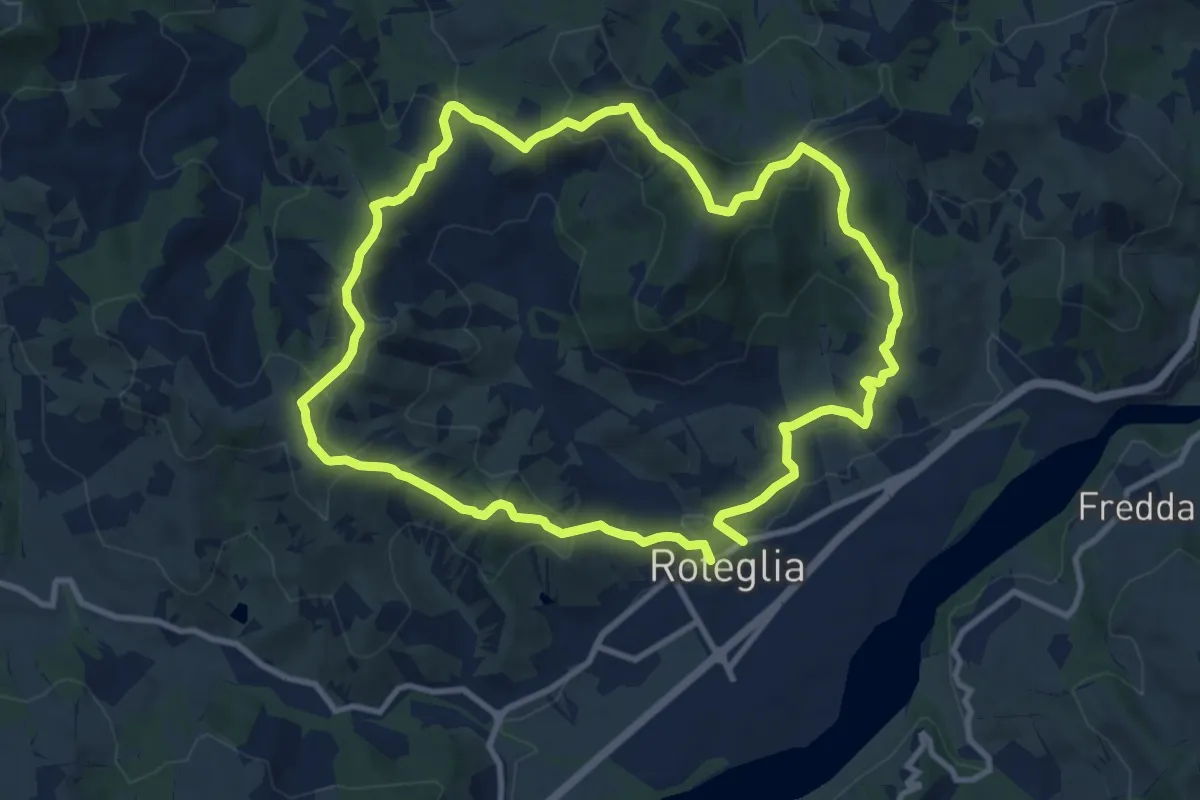
Medium · Summit
Roteglia – Roteglia
10.4 km · ↑ 417 m · 3 h 30 min · 13 km away
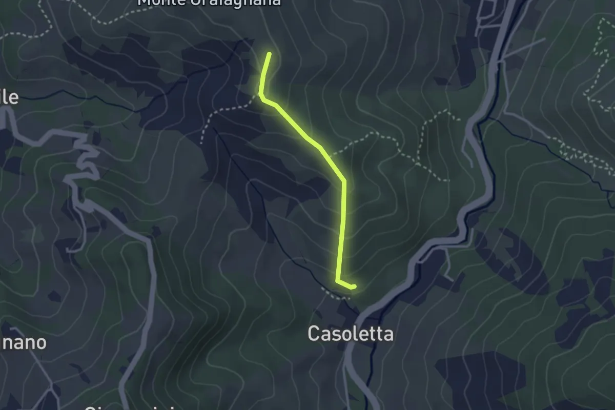
Easy · Trail
Percorso 646 – Percorso 644
2.4 km · ↑ 154 m · 53 min · 13 km away
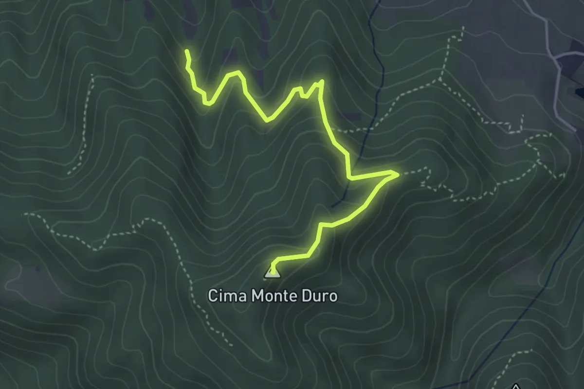
Medium · Summit
Percorso 622 – Monte Duro
4.4 km · ↑ 311 m · 1 h 43 min · 13 km away
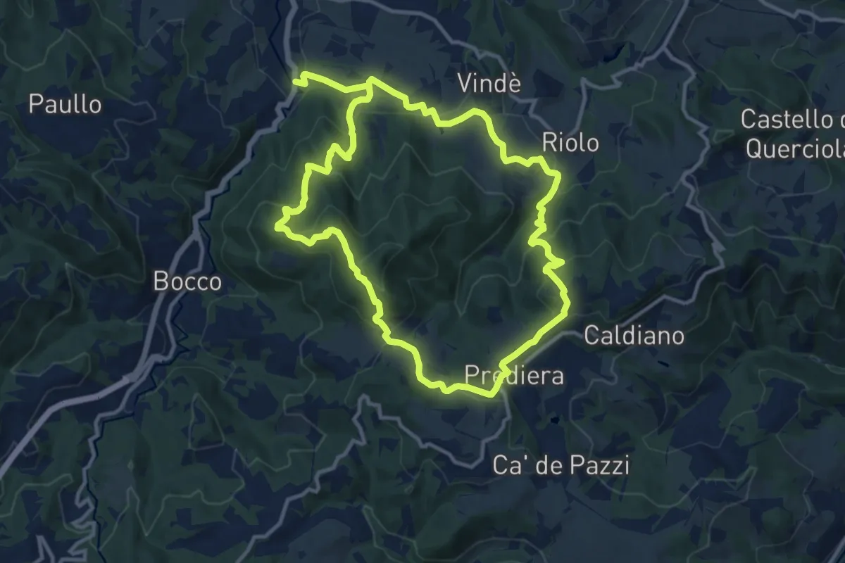
Medium · Summit
Bettola – Bettola
11.2 km · ↑ 556 m · 3 h 58 min · 14 km away
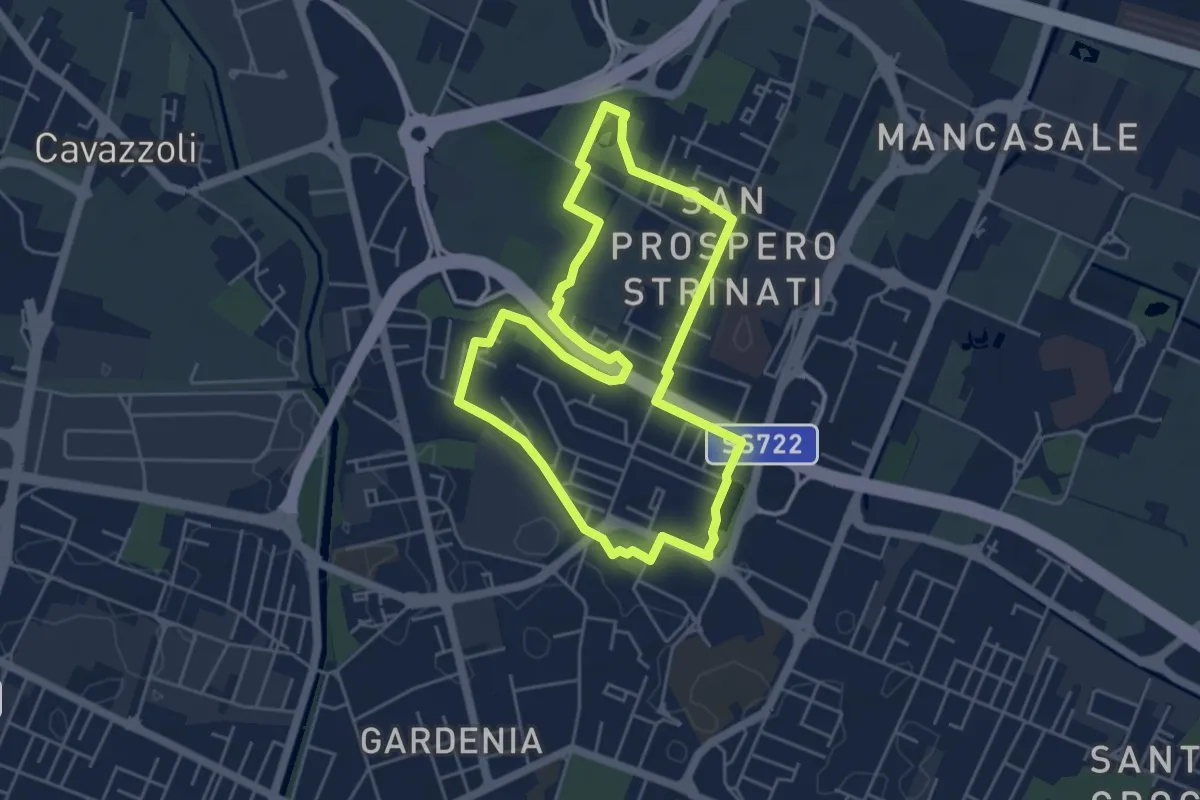
Easy · Trail
Anello di San Prospero Strinati
4.9 km · ↑ 5 m · 1 h 15 min · 14 km away
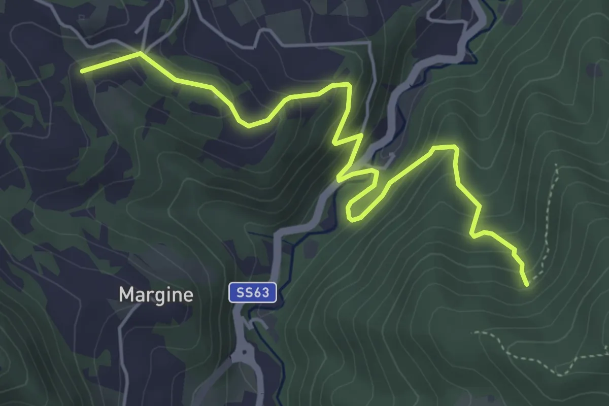
Medium · Trail
La Ripa – Percorso 622
5.5 km · ↑ 353 m · 2 h 4 min · 14 km away
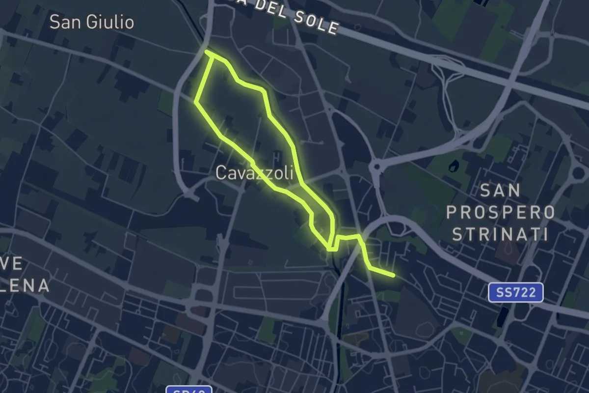
Medium · Trail
Anello di Cavazzoli
9.5 km · ↑ 17 m · 2 h 17 min · 14 km away
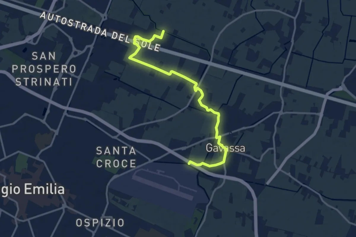
Medium · Trail
Greenway del Rodano
11.0 km · ↑ 8 m · 2 h 37 min · 14 km away
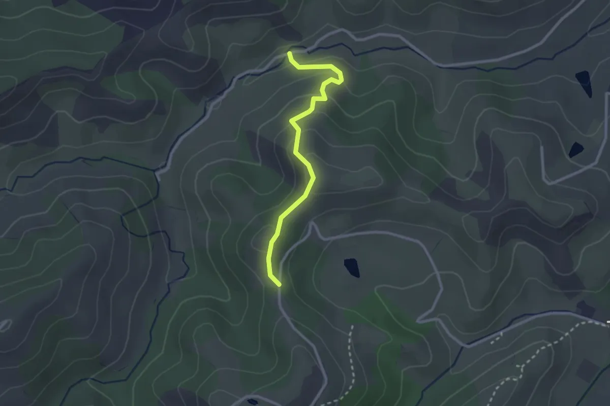
Easy · Trail
Sentiero del Gheppio
2.5 km · ↑ 120 m · 52 min · 14 km away
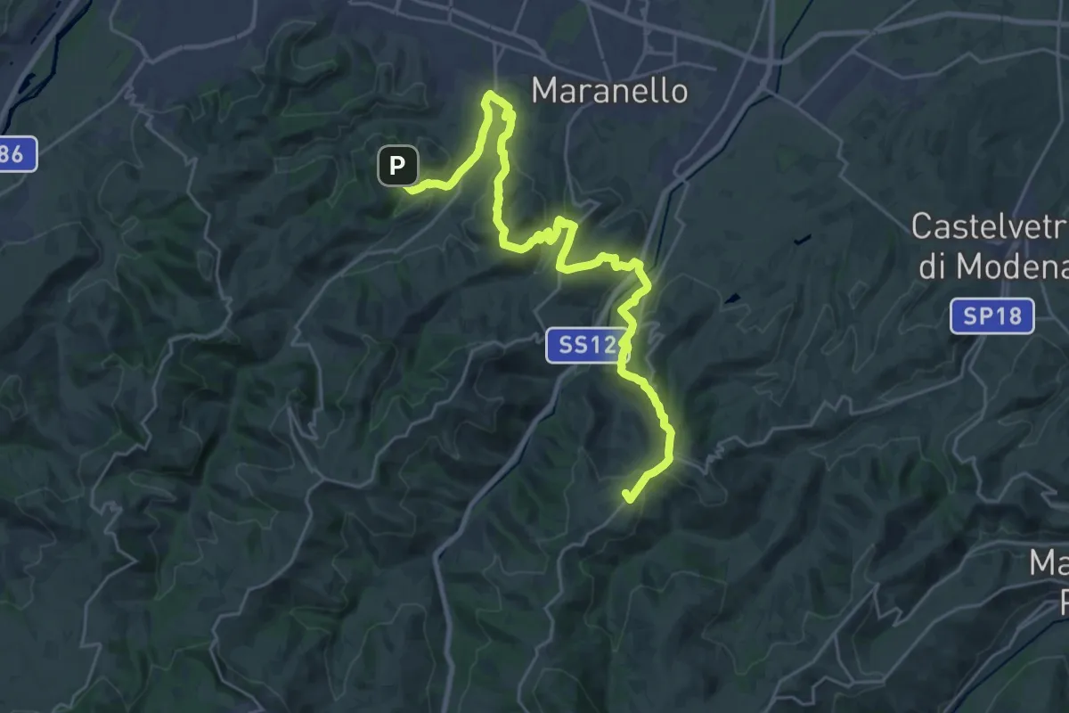
Demanding · Summit
Sentiero dei Vulcani di fango Tappa 3
29.6 km · ↑ 860 m · 8 h 52 min · 14 km away
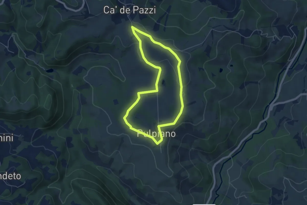
Easy · Trail
Pulpiano – Colombara – Cà de Pazzi – Pulpiano
5.0 km · ↑ 42 m · 1 h 20 min · 14 km away
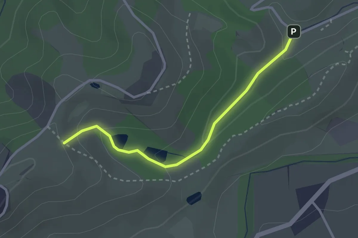
Easy · Trail
Sentiero dei Tritoni
2.5 km · ↑ 93 m · 47 min · 15 km away
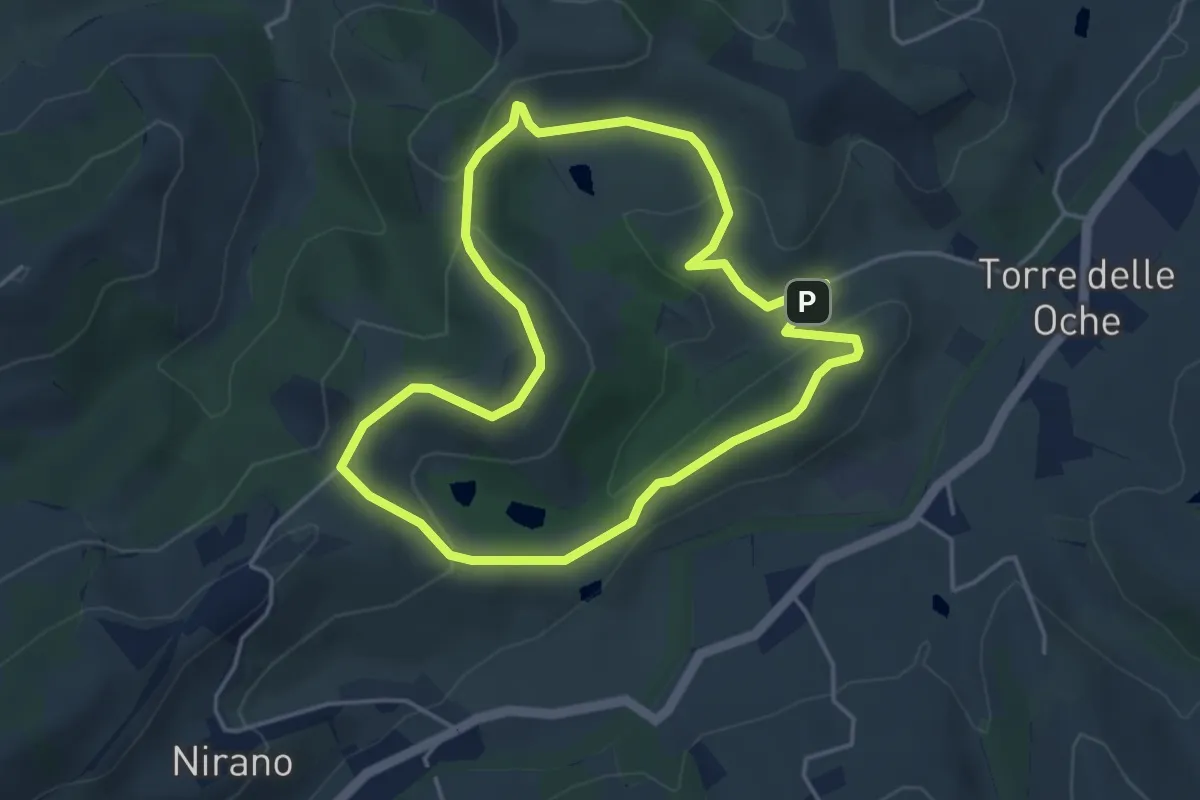
Easy · Trail
Giro delle Salse
4.3 km · ↑ 126 m · 1 h 21 min · 15 km away
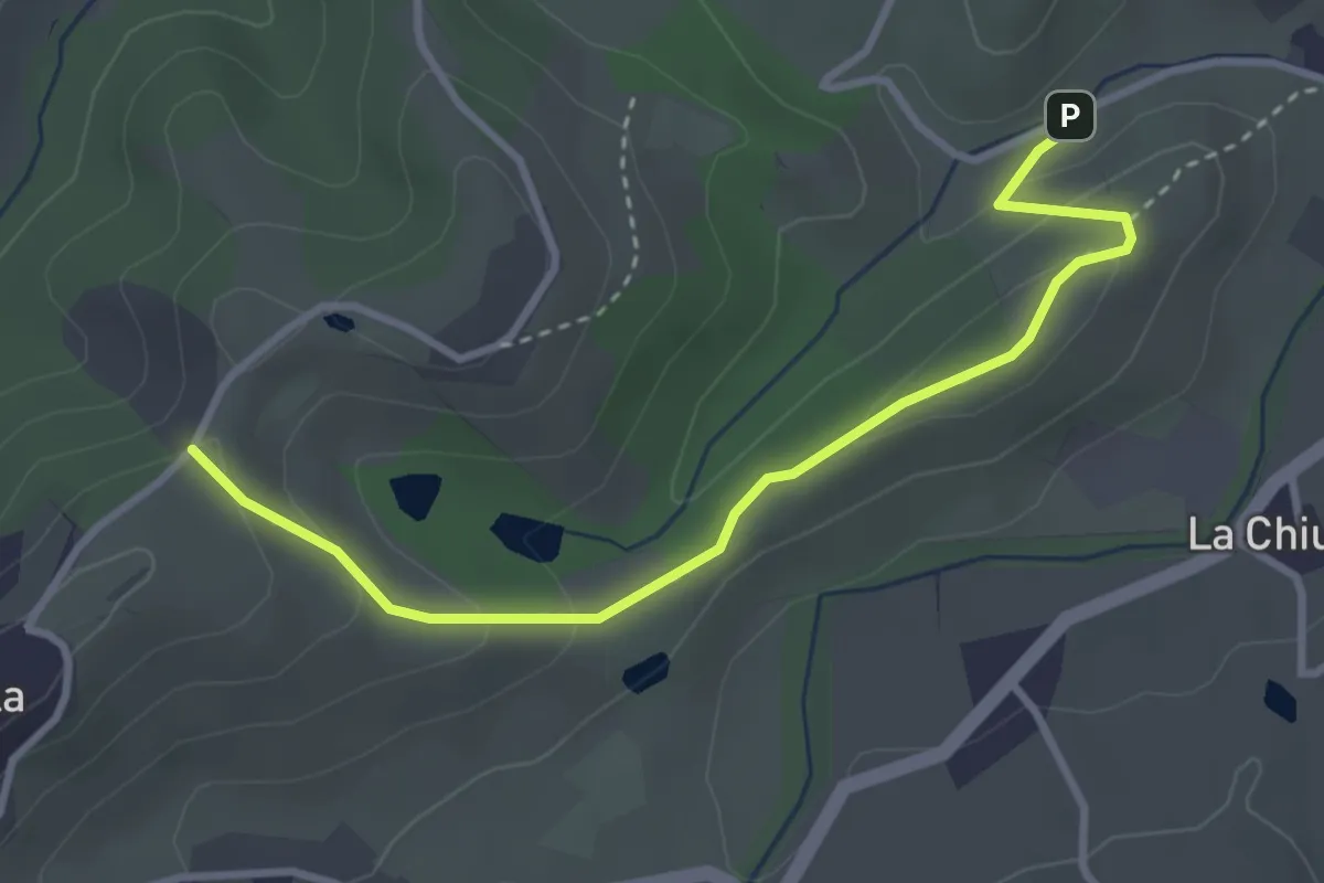
Easy · Trail
Sentiero del Capriolo
3.6 km · ↑ 130 m · 1 h 8 min · 15 km away
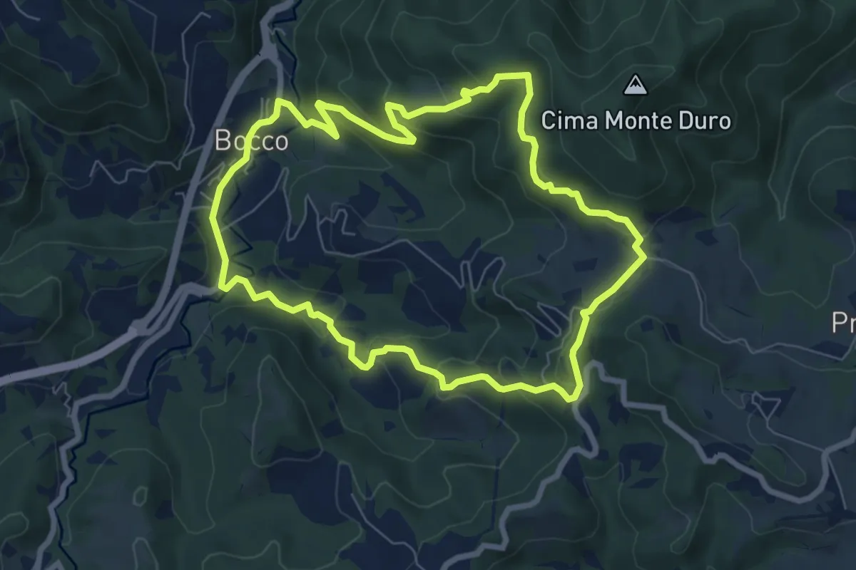
Medium · Trail
Il Bocco – La Canala
7.1 km · ↑ 351 m · 2 h 32 min · 15 km away