Trails near Schio
155 hikes starting within 15 km, nearest first.
Nearest first, page 1 of 4
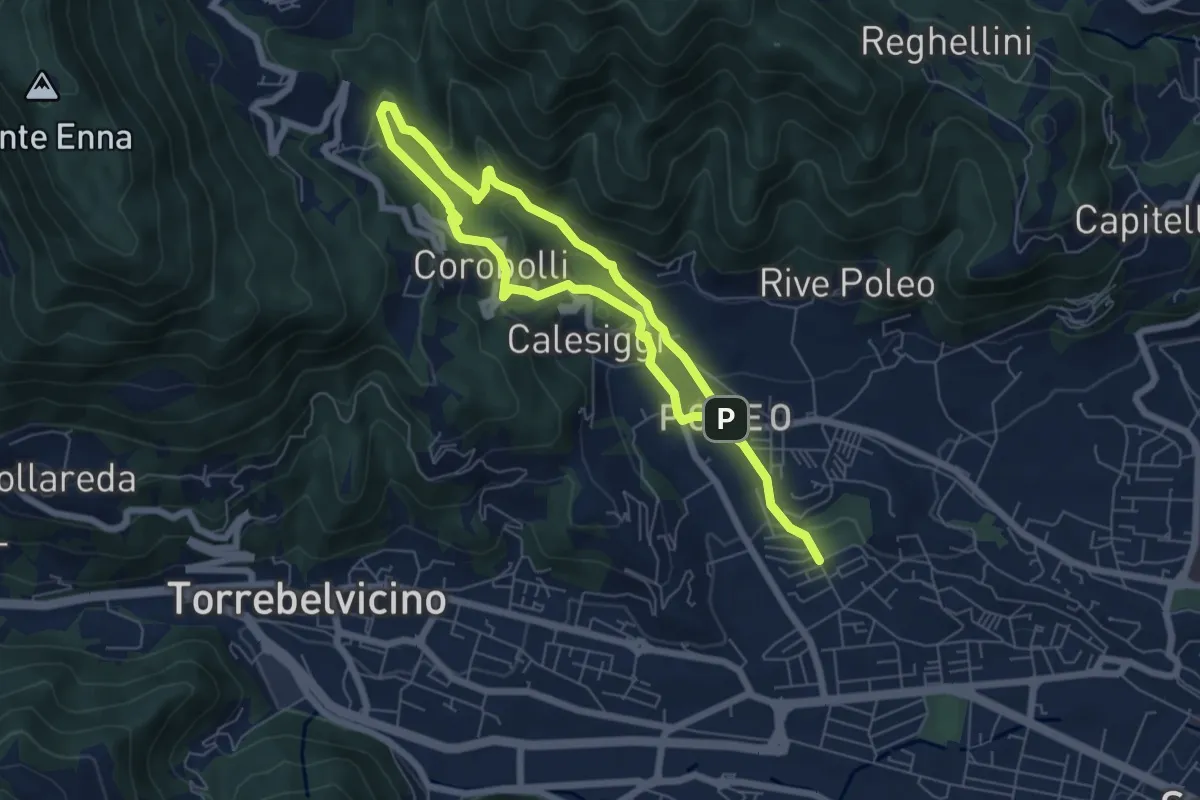
Medium · Trail
La via dei Mulini
10.3 km · ↑ 541 m · 3 h 36 min · 2 km away
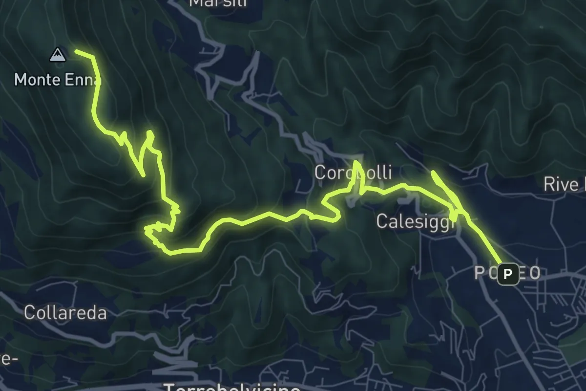
Demanding · Summit
S3
12.8 km · ↑ 901 m · 4 h 58 min · 2 km away
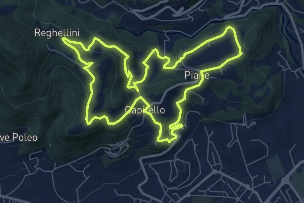
Medium · Trail
Percorso Pio Penzo
7.1 km · ↑ 383 m · 2 h 36 min · 3 km away
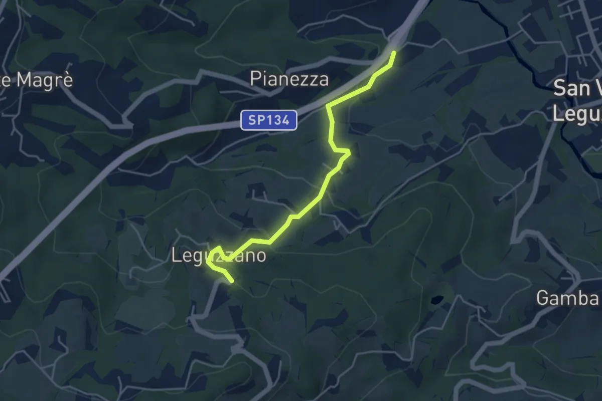
Easy · Trail
Sentiero Natura - Variante Percorso 1
3.9 km · ↑ 169 m · 1 h 18 min · 3 km away
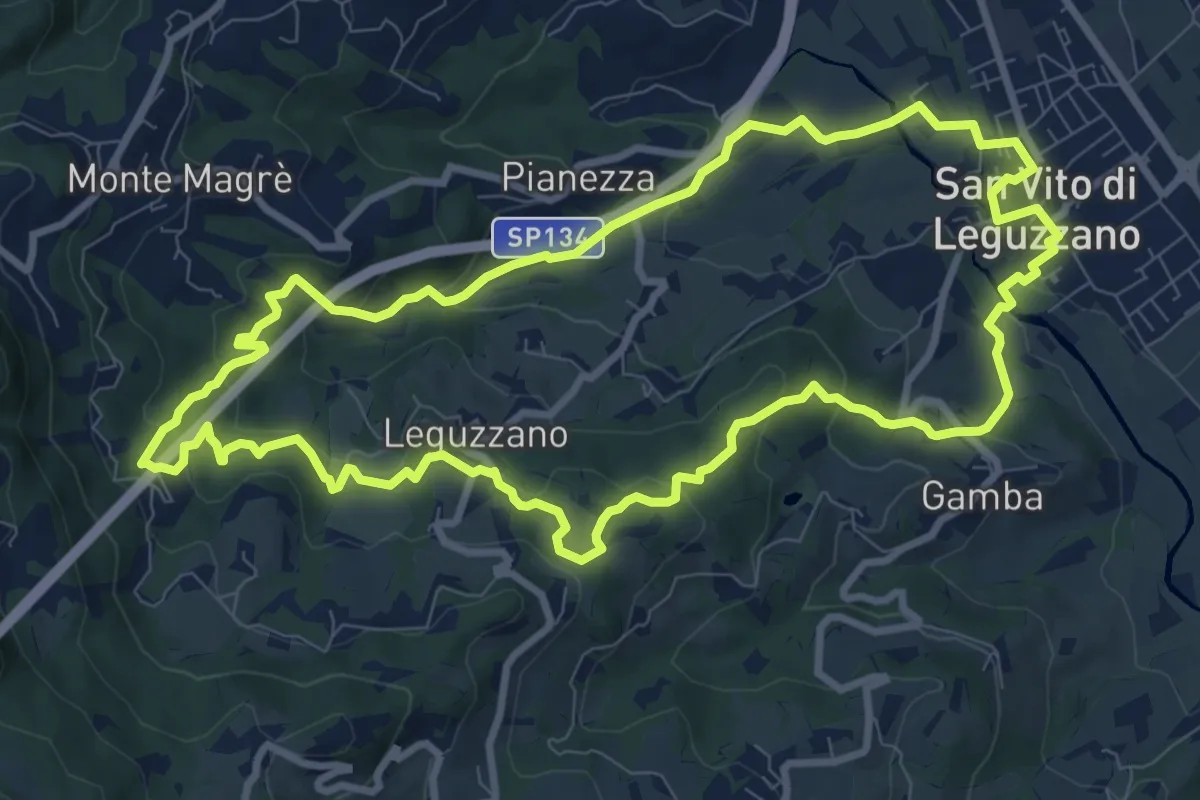
Medium · Trail
Sentiero natura percorso 1 (rosso)
9.9 km · ↑ 375 m · 3 h 17 min · 3 km away
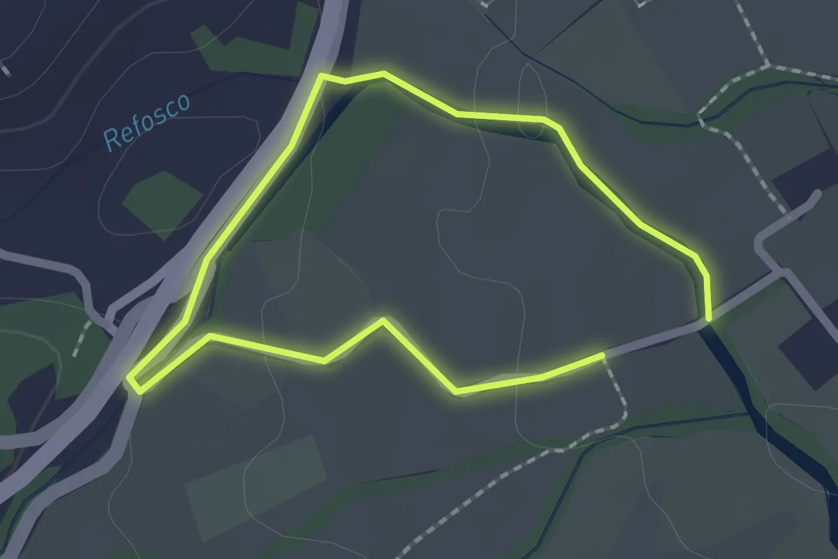
Easy · Trail
Sentiero dell'acqua - Lungo il Refosco
1.4 km · ↑ 22 m · 25 min · 3 km away
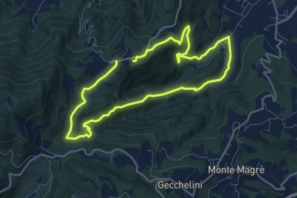
Medium · Trail
Sentiero dell'Alpino
6.6 km · ↑ 380 m · 2 h 29 min · 3 km away
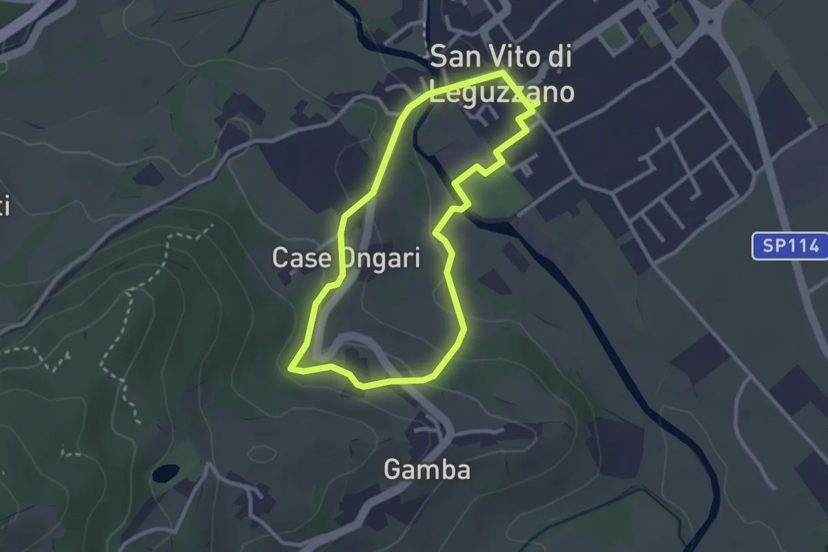
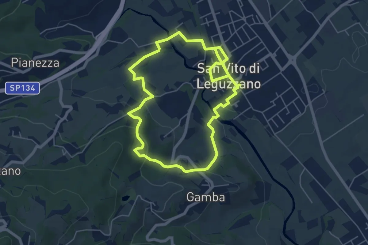
Easy · Trail
Sentiero Natura - Percorso 3 (giallo)
2.6 km · ↑ 70 m · 48 min · 4 km away
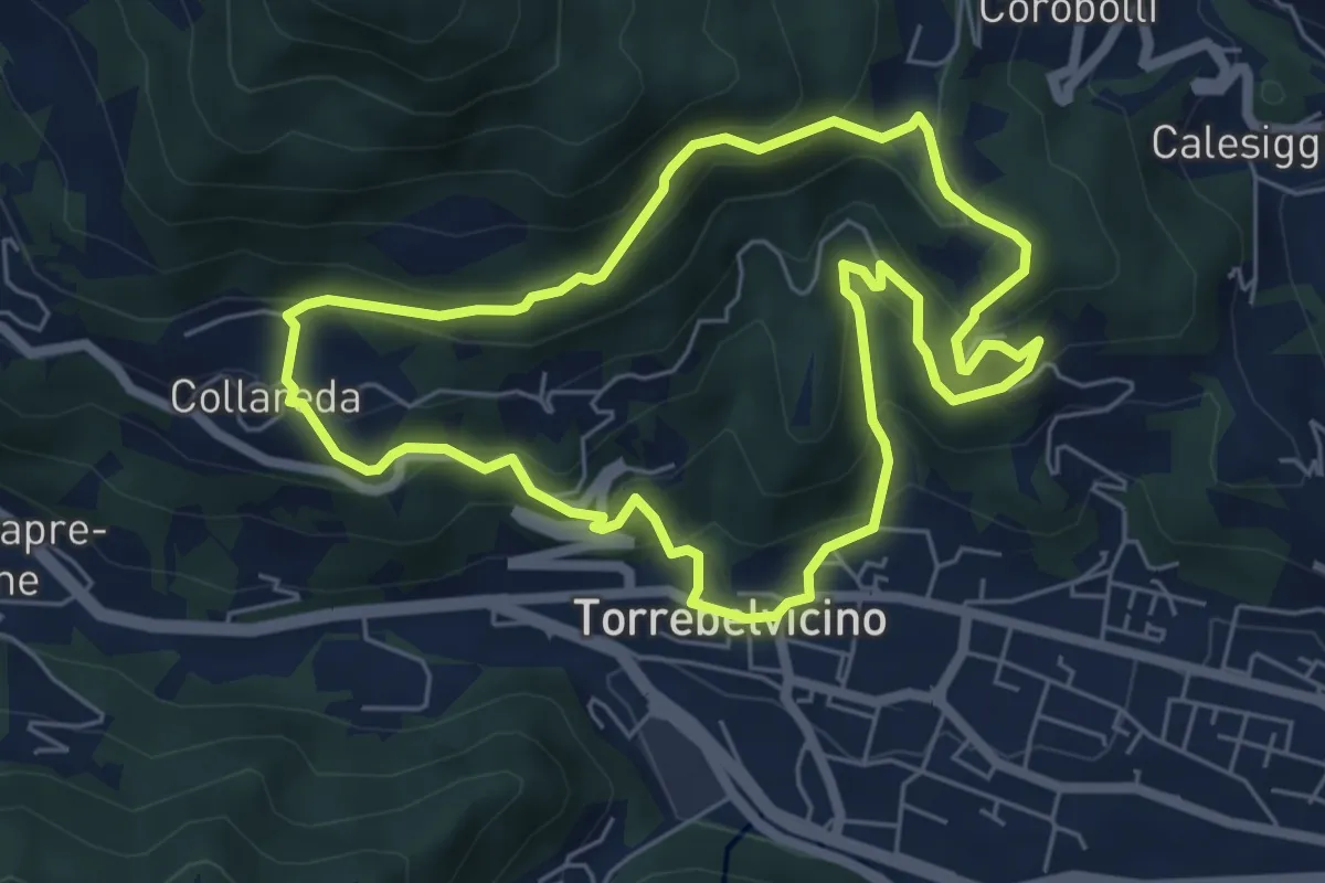
Easy · Trail
Sentiero Natura - Percorso 2 (verde)
4.7 km · ↑ 122 m · 1 h 27 min · 4 km away
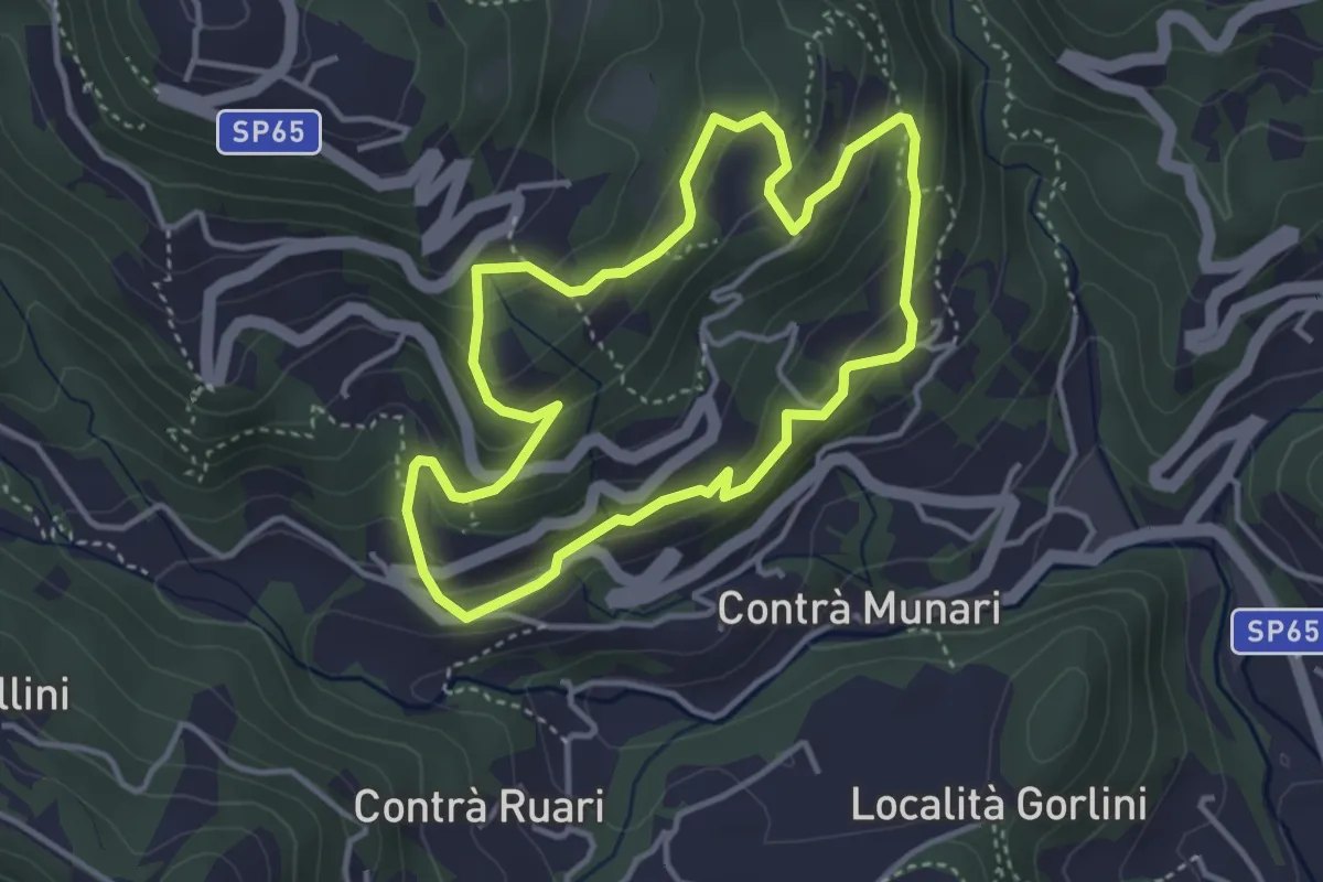
Medium · Trail
Sentiero delle cinque colombe
5.9 km · ↑ 411 m · 2 h 22 min · 4 km away
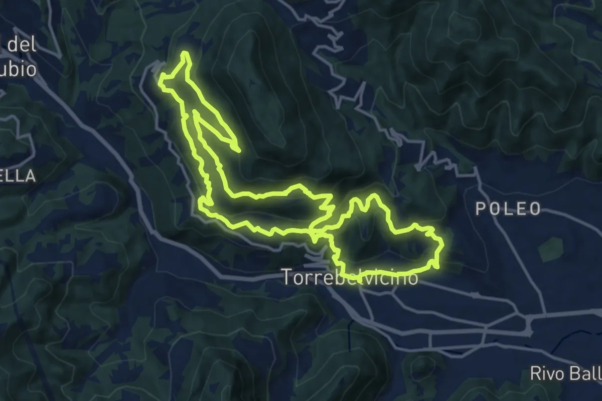
Medium · Trail
Terre e miniere
3.6 km · ↑ 251 m · 1 h 26 min · 4 km away
Demanding · Trail
Sentiero Panoramico della Val Leogra
13.3 km · ↑ 655 m · 4 h 45 min · 4 km away
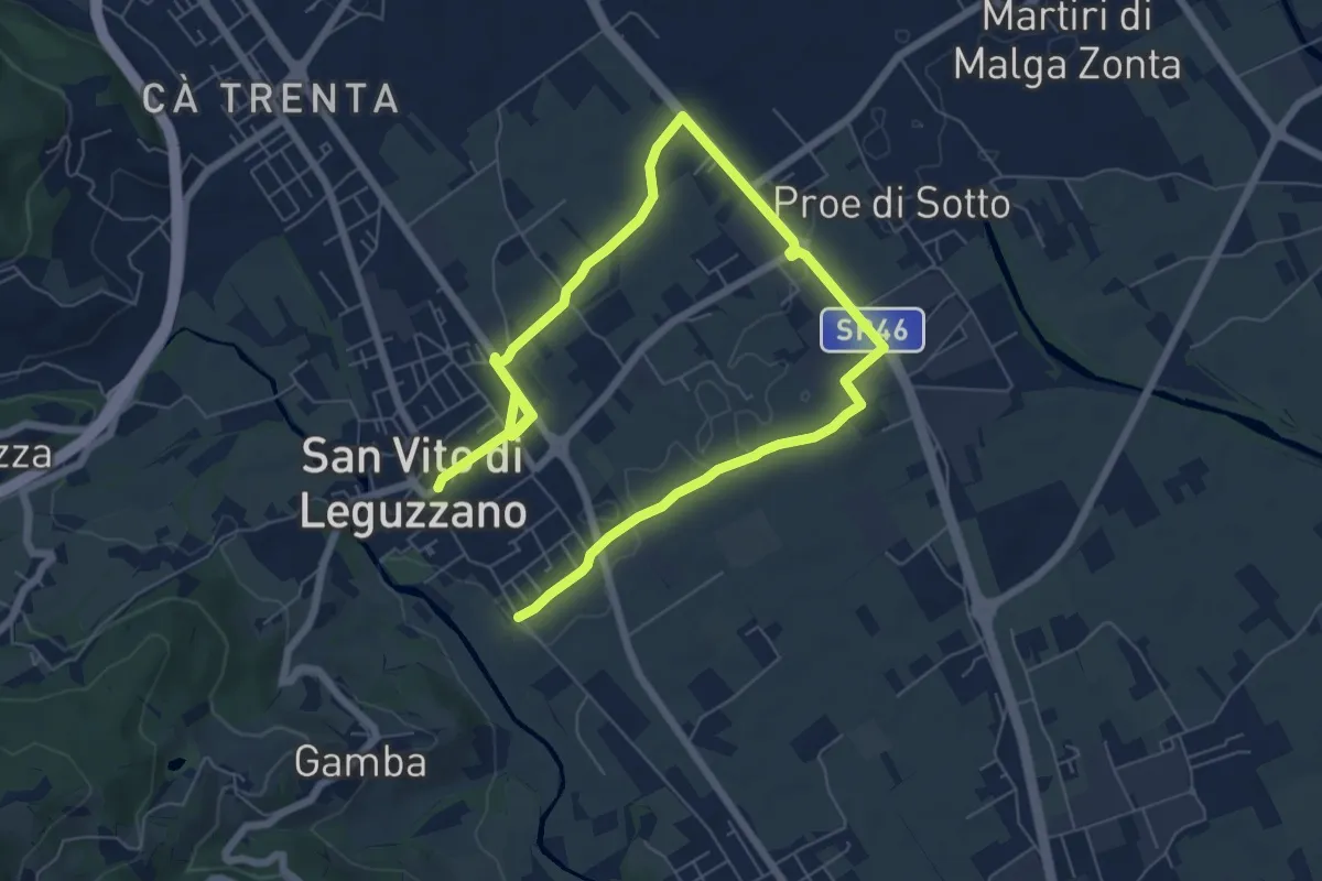
Medium · Trail
Sentiero dei campi
10.4 km · ↑ 17 m · 2 h 29 min · 4 km away
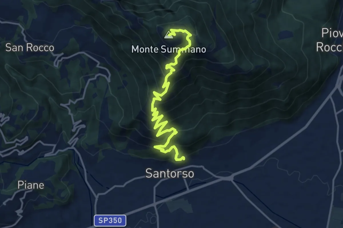
Demanding · Summit
Via Crucis
12.8 km · ↑ 1091 m · 5 h 23 min · 4 km away
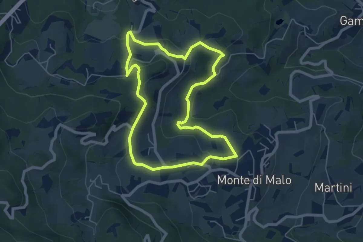
Easy · Trail
Maronari Corto
4.7 km · ↑ 163 m · 1 h 32 min · 5 km away
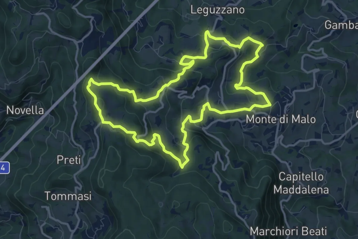
Medium · Trail
Maronari Lungo
10.2 km · ↑ 433 m · 3 h 29 min · 5 km away
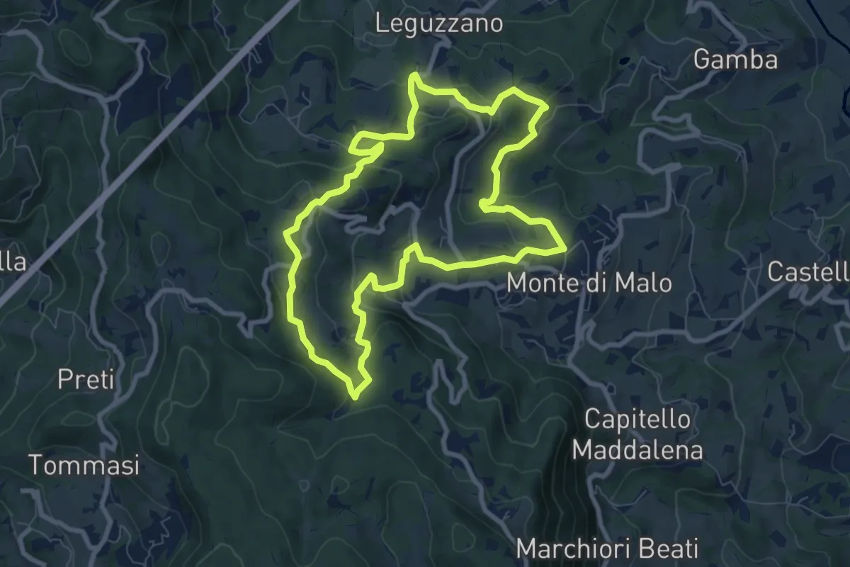
Easy · Trail
Maronari Medio
7.9 km · ↑ 318 m · 2 h 39 min · 5 km away
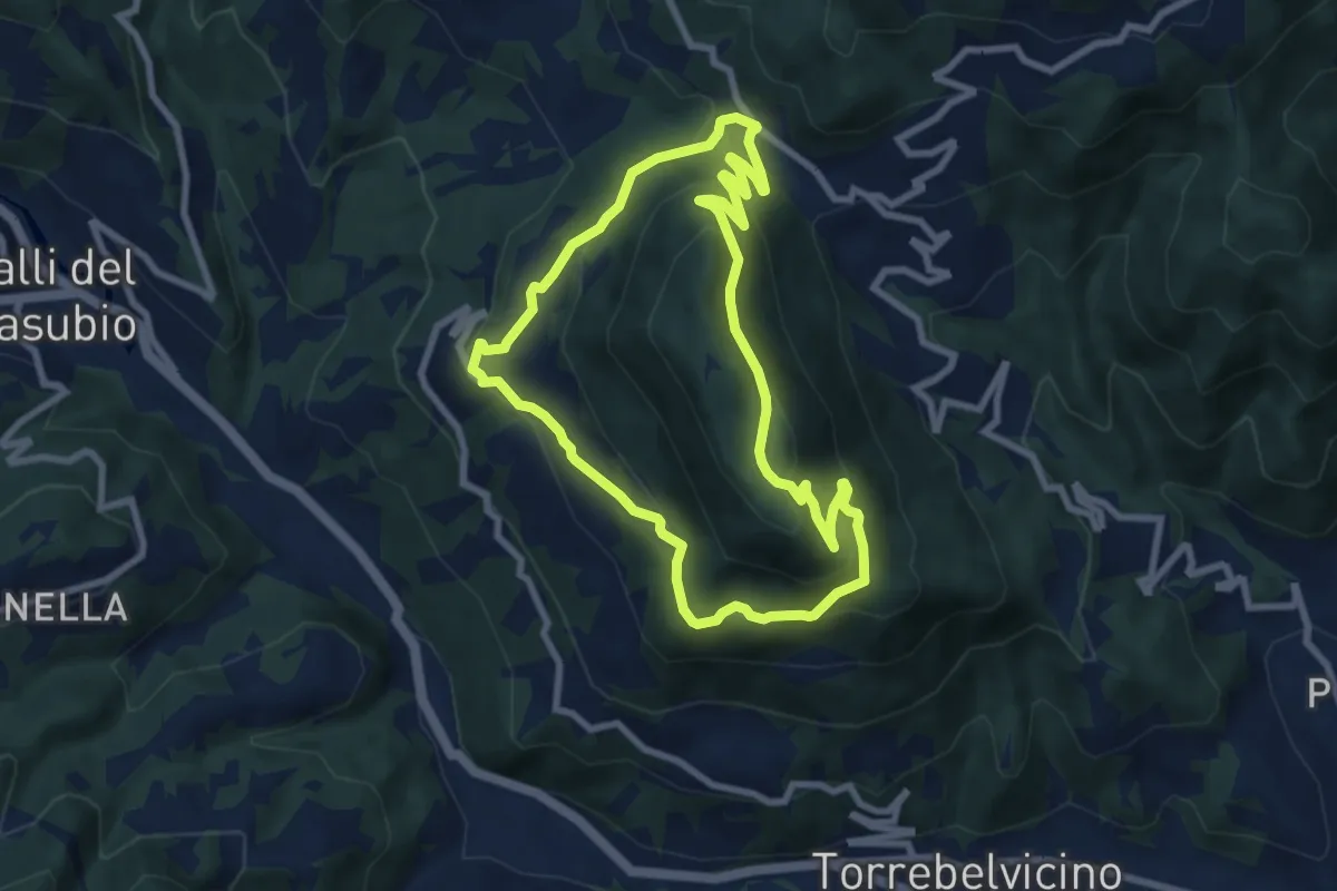
Medium · Summit
Sentiero del Monte Enna
7.8 km · ↑ 403 m · 2 h 49 min · 5 km away
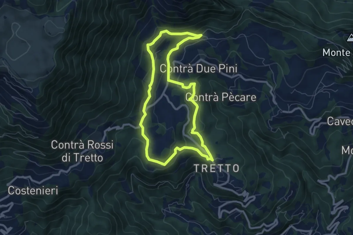
Easy · Trail
Sopra la Valle dell'Orco
6.6 km · ↑ 258 m · 2 h 13 min · 5 km away
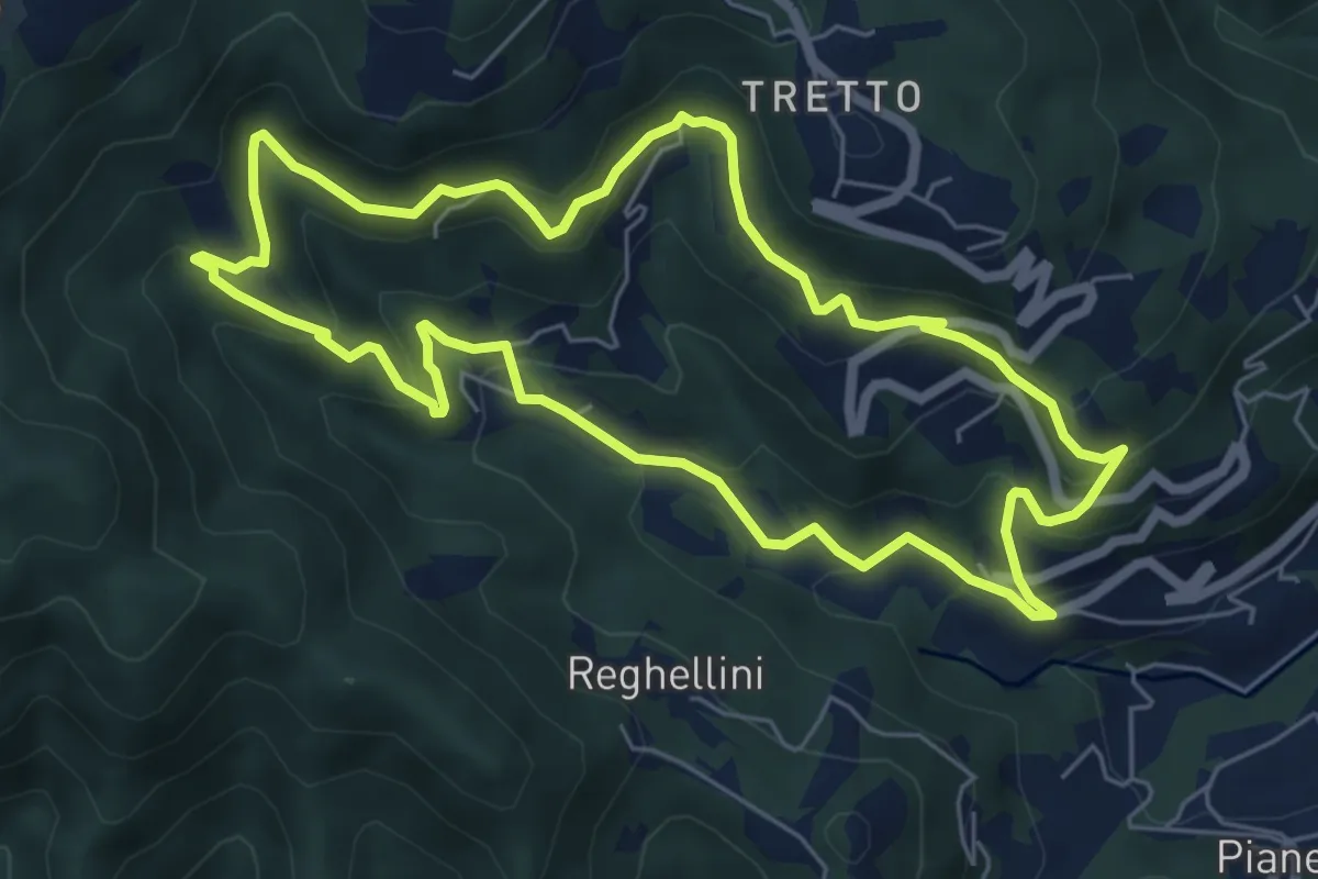
Medium · Trail
Lungo l'Acquasaliente
6.3 km · ↑ 373 m · 2 h 22 min · 5 km away
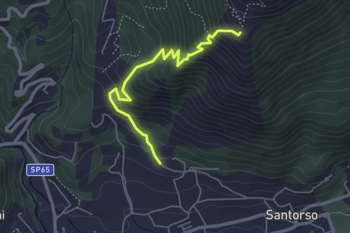
Medium · Trail
Cava di Pietra (Santorso) – Prà Minore (innesto sentiero 457)
4.3 km · ↑ 487 m · 2 h 5 min · 5 km away
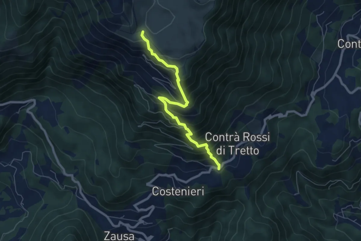
Demanding · Trail
Contrà Rossi - Busa Novegno
5.8 km · ↑ 623 m · 2 h 43 min · 5 km away
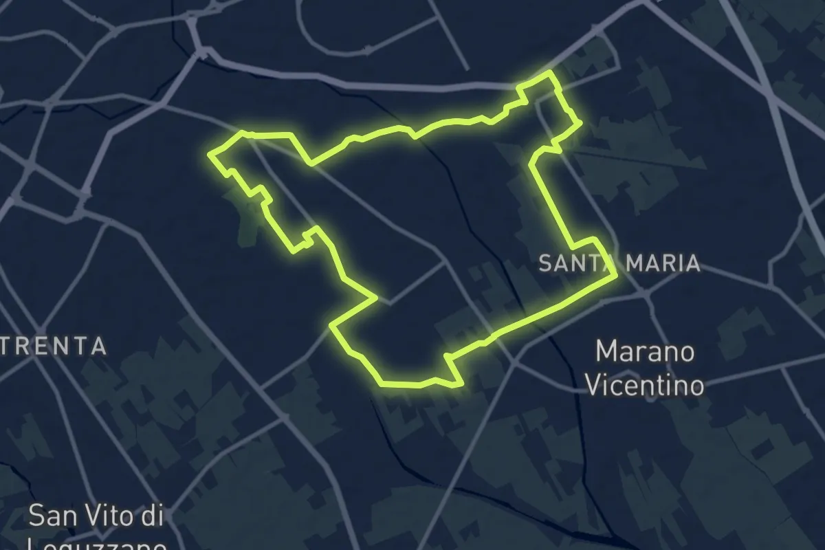
Medium · Trail
Agritour dea Molonara (percorso azzurro)
10.8 km · ↑ 35 m · 2 h 46 min · 5 km away
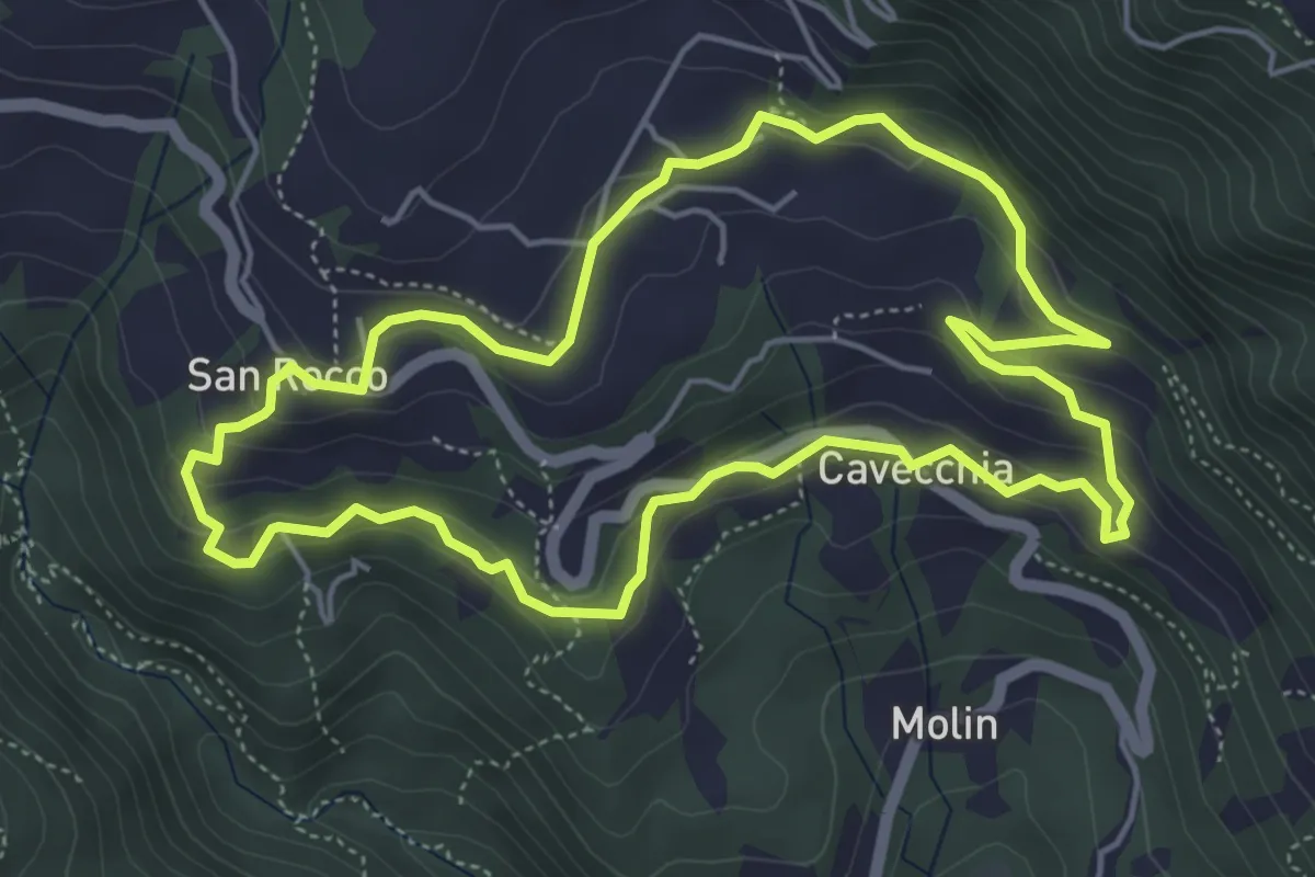
Easy · Trail
Sojo Negro
5.2 km · ↑ 205 m · 1 h 44 min · 5 km away
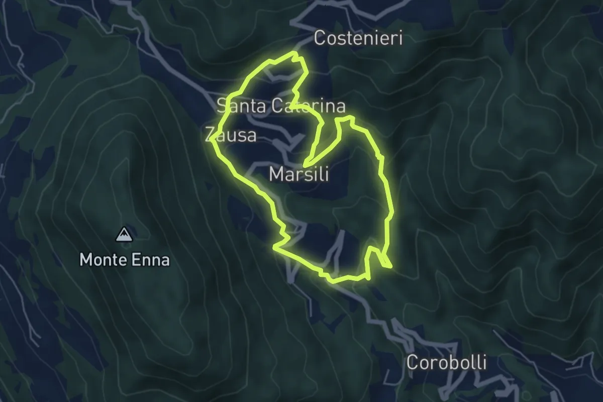
Medium · Trail
Valbona e Valmara
4.8 km · ↑ 323 m · 1 h 54 min · 5 km away
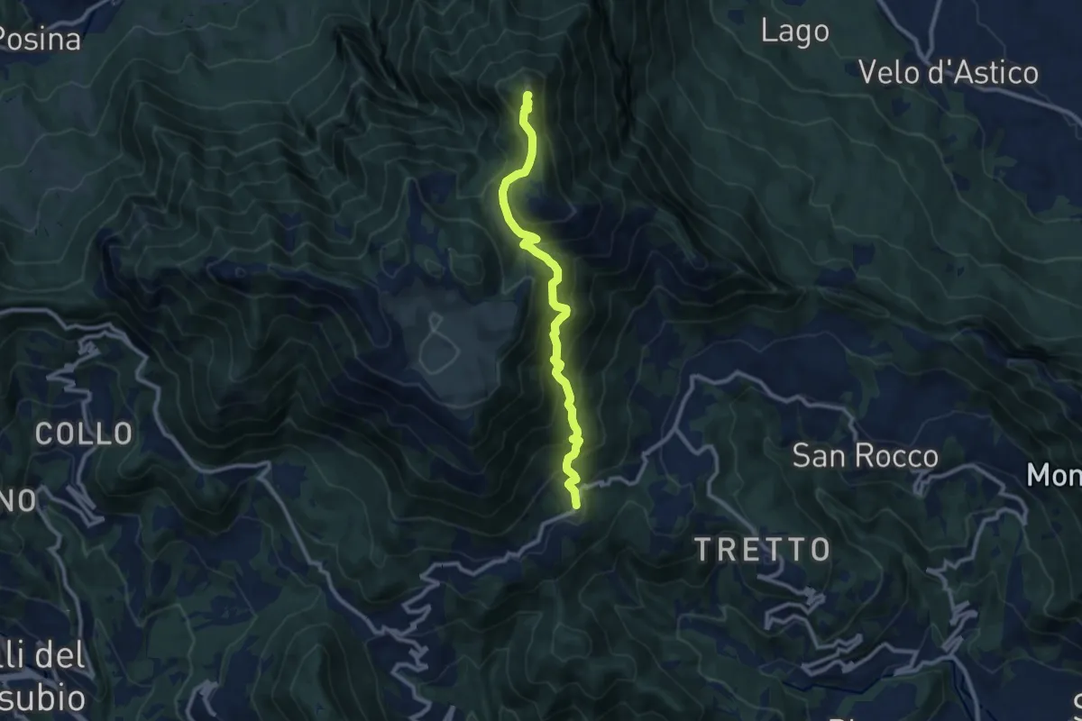
Demanding · Summit
Cerbaro (Santa Caterina del Tretto) - da sentiero 433 – Monte Priaforà
9.6 km · ↑ 762 m · 3 h 55 min · 5 km away
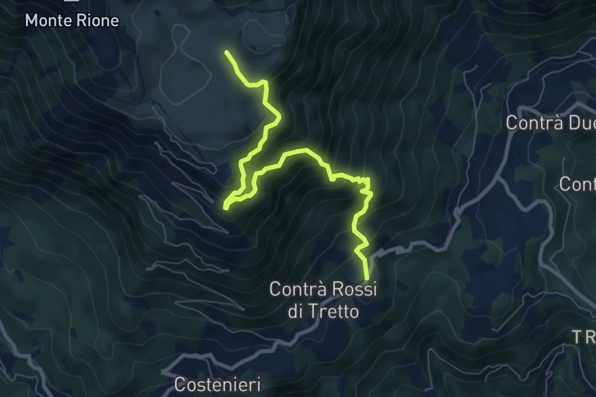
Demanding · Trail
Cerbaro - Busa Novegno
7.5 km · ↑ 865 m · 3 h 38 min · 5 km away
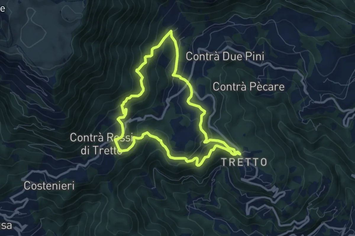
Medium · Trail
Alta Vista
7.2 km · ↑ 428 m · 2 h 44 min · 5 km away
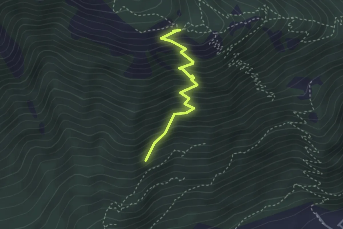
Medium · Trail
Sasso de la Poia
2.7 km · ↑ 413 m · 1 h 31 min · 6 km away
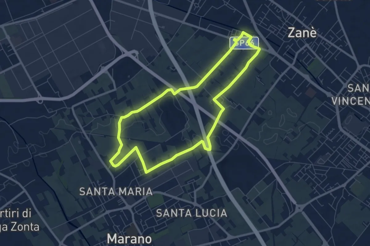
Easy · Trail
Agritour dea Molonara (percorso giallo)
7.3 km · ↑ 25 m · 1 h 52 min · 6 km away
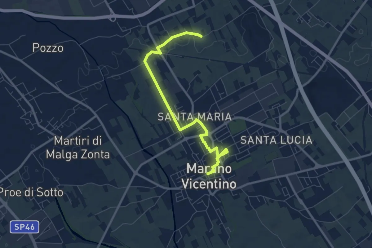
Easy · Trail
La Via del Pane - percorso nord
7.5 km · ↑ 17 m · 1 h 48 min · 6 km away
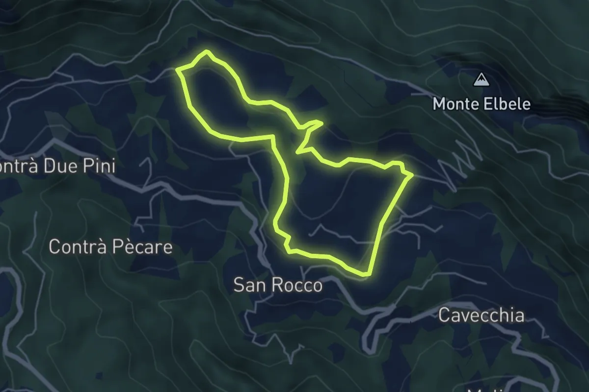
Easy · Trail
Prati di S. Rocco
4.2 km · ↑ 144 m · 1 h 22 min · 6 km away
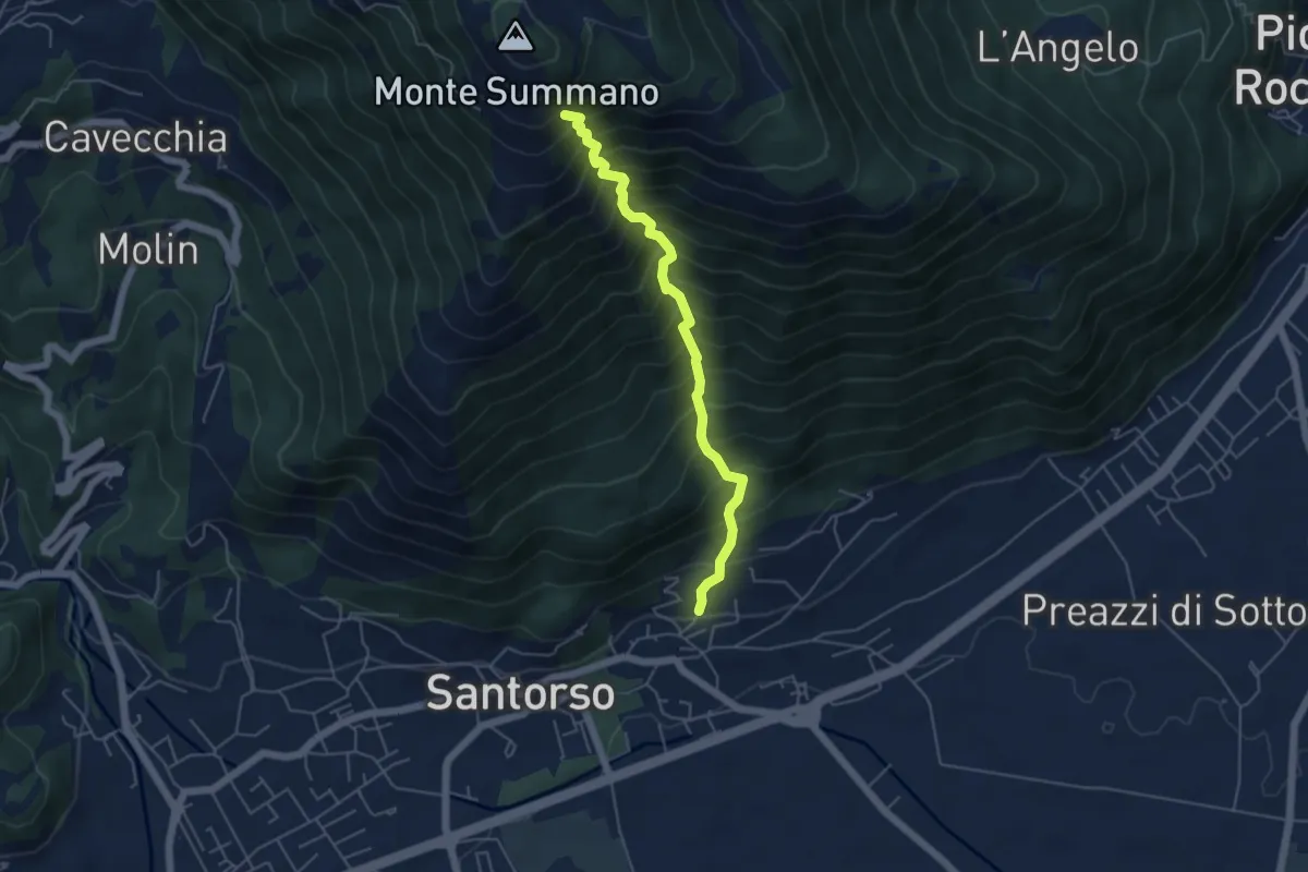
Demanding · Trail
Lesina (Santorso) – sotto Monte Summano (innesto sentiero 457)
4.9 km · ↑ 886 m · 3 h 4 min · 6 km away
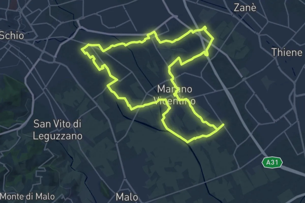
Demanding · Trail
Agritour dea Molonara (percorso rosso)
20.9 km · ↑ 67 m · 5 h 22 min · 6 km away
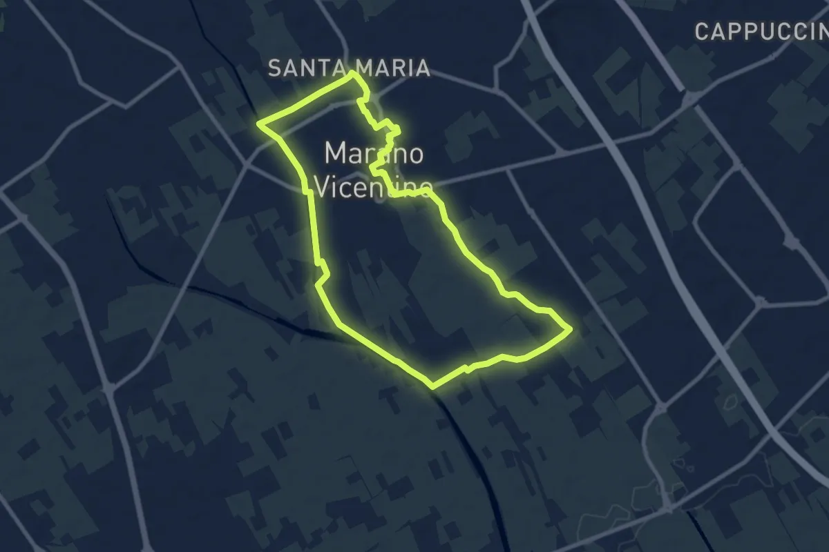
Medium · Trail
La Via del Pane - percorso sud
8.1 km · ↑ 25 m · 2 h 5 min · 6 km away
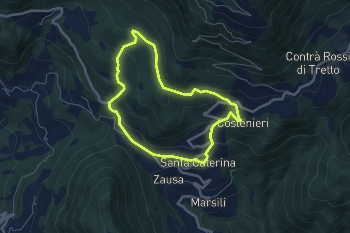
Easy · Trail
Santa Caterinella
4.4 km · ↑ 218 m · 1 h 35 min · 6 km away
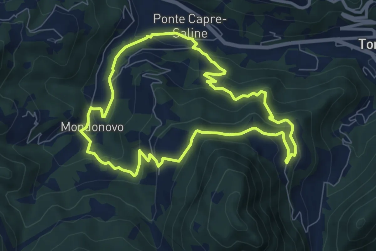
Medium · Trail
Sentiero di Mondonovo
6.1 km · ↑ 335 m · 2 h 15 min · 6 km away
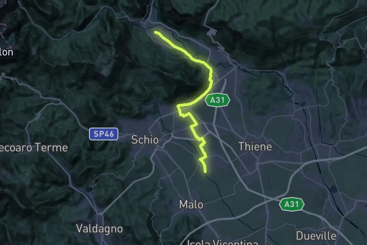
Demanding · Trail
Cammino Fogazzaro Roi - Tappa 3
20.3 km · ↑ 284 m · 5 h 37 min · 6 km away
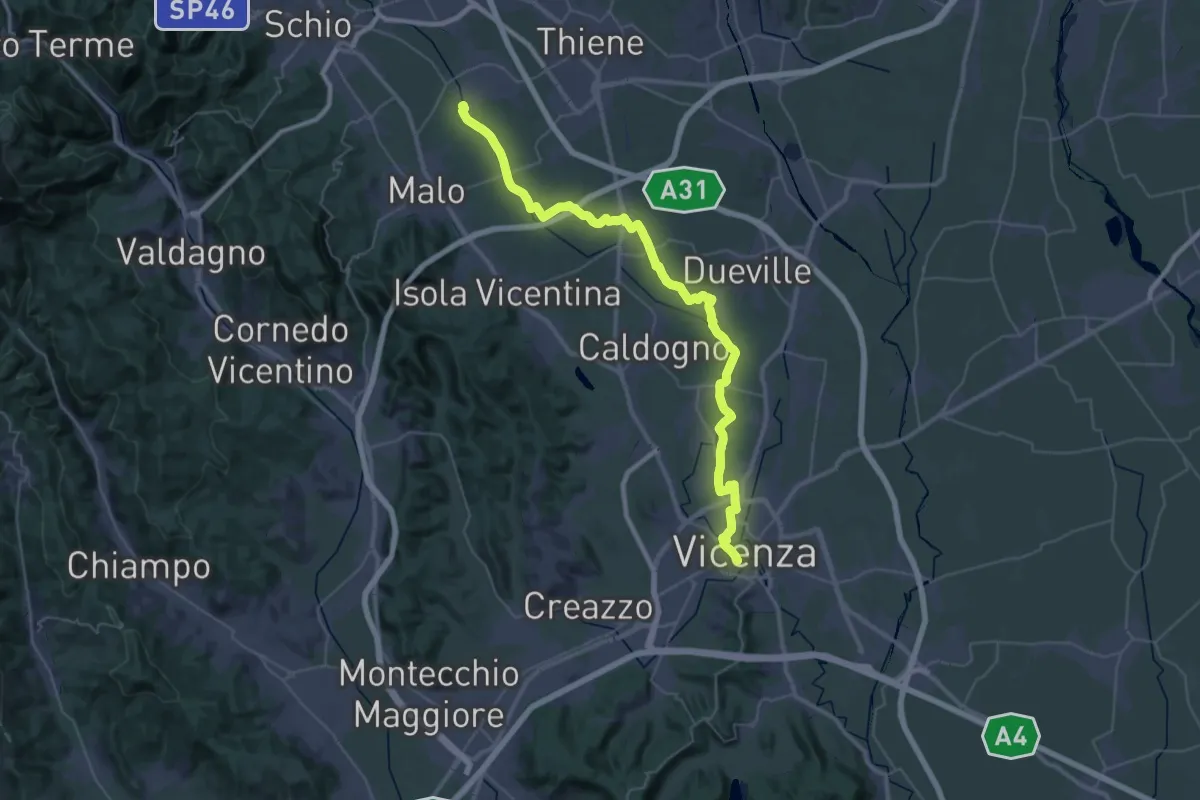
Demanding · Trail
Cammino Fogazzaro Roi - Tappa 2
25.1 km · ↑ 17 m · 6 h 21 min · 6 km away
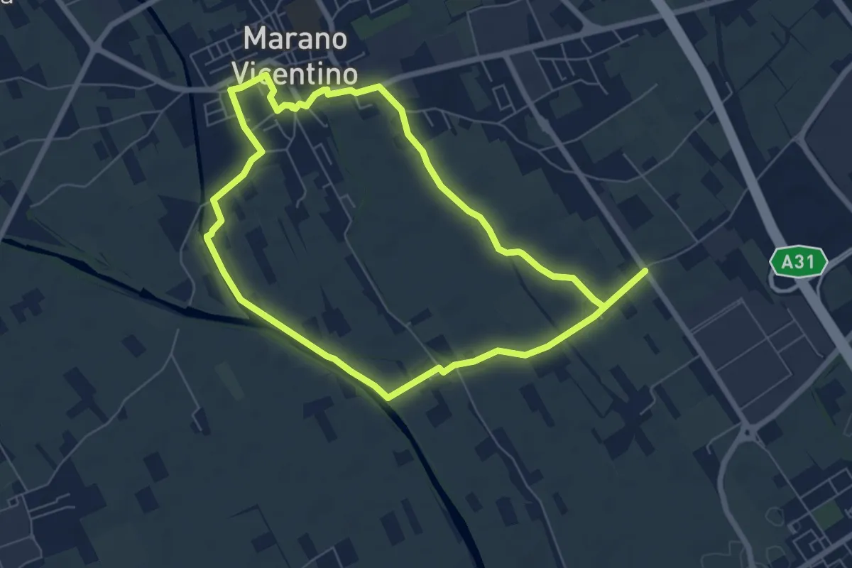
Easy · Trail
Agritour dea Molonara (percorso verde)
6.4 km · ↑ 17 m · 1 h 39 min · 6 km away
Demanding · Trail
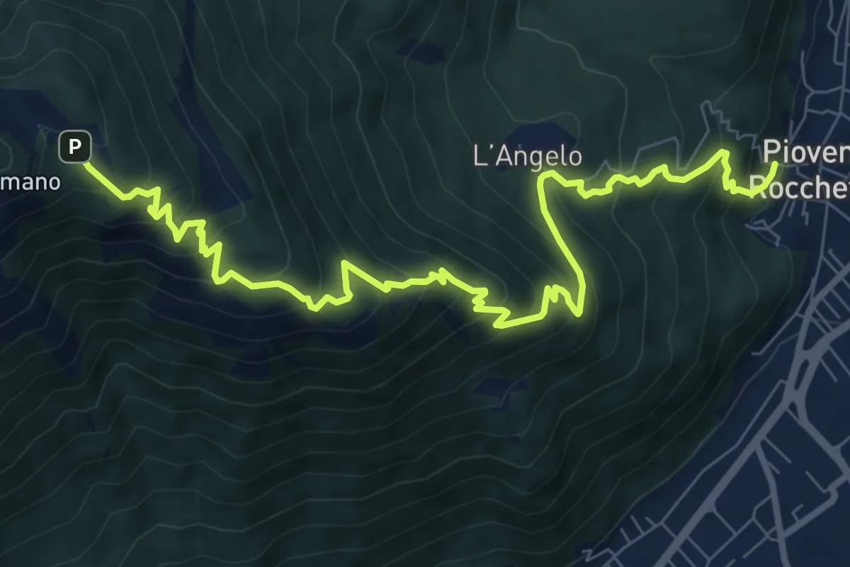
Sentiero dei Girolimini
10.4 km · ↑ 910 m · 4 h 25 min · 6 km away
Medium · Trail
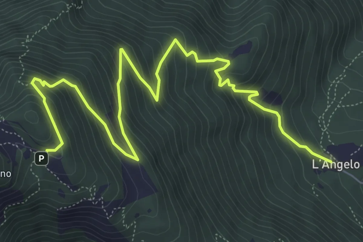
Chiesa dell'Angelo (Piovene Rocchette) – Santuario Madonna (innesto sentiero 457)
8.7 km · ↑ 742 m · 3 h 40 min · 6 km away
Demanding · Trail
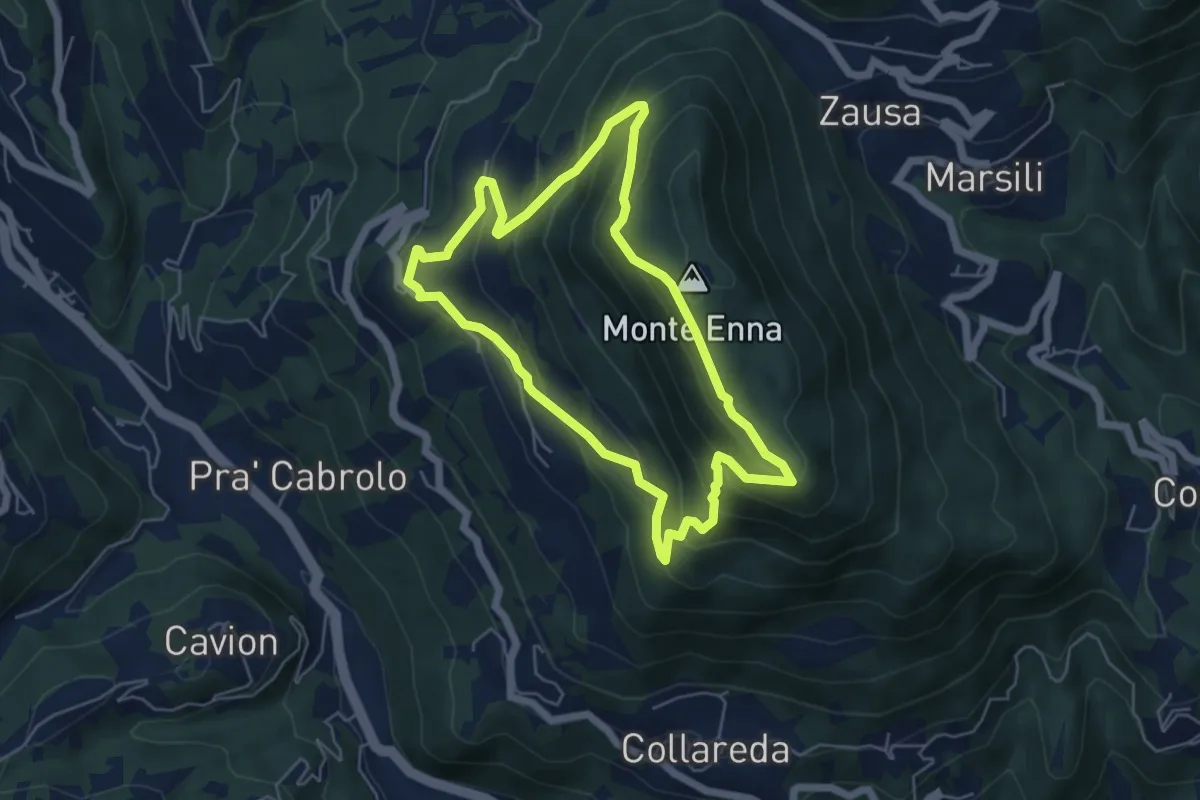
Sentiero delle rogazioni
5.1 km · ↑ 345 m · 2 h 1 min · 6 km away
Medium · Trail
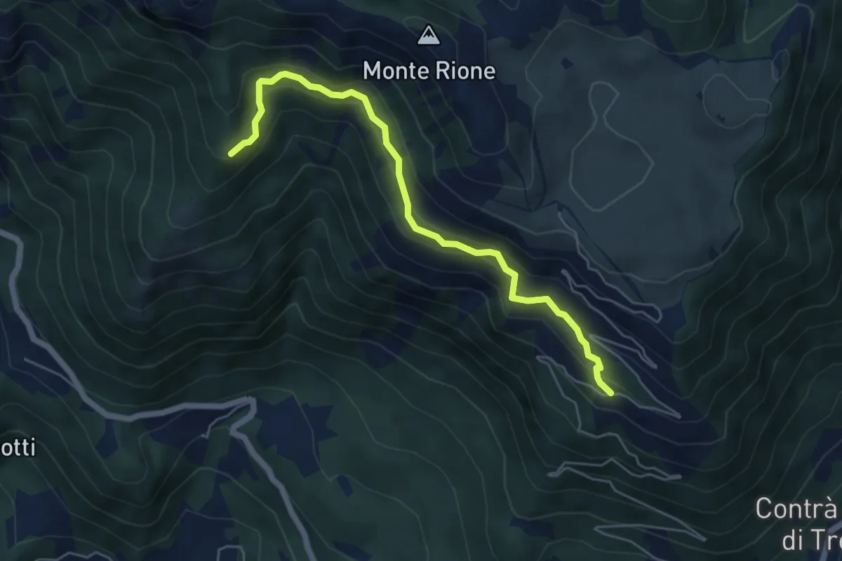
sotto Malga Pianeti (parcheggio) - da sent. 422 – Malga Ronchetta bivio sent. 411
5.5 km · ↑ 414 m · 2 h 11 min · 6 km away
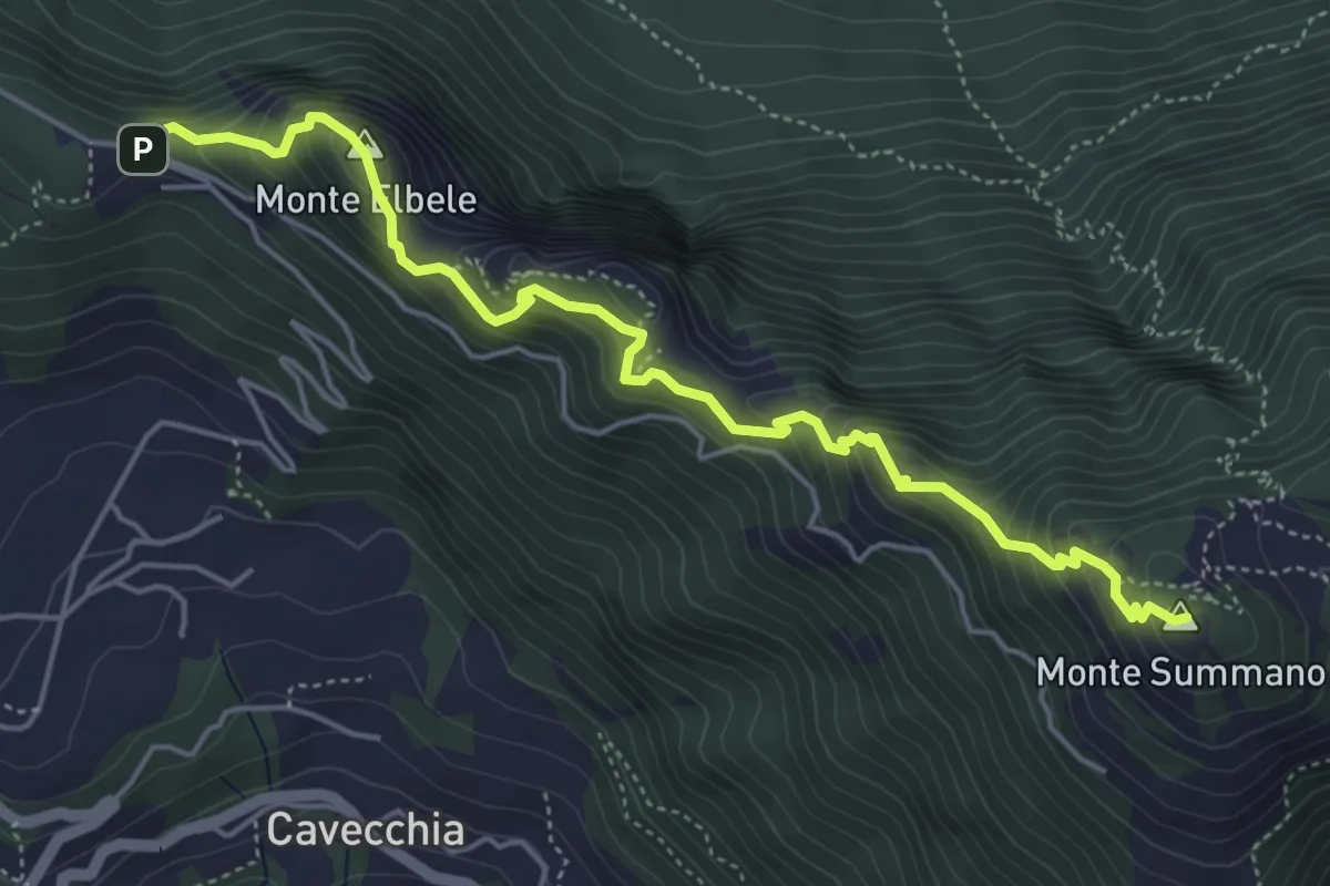
Demanding · Summit
Creste del Summano
5.5 km · ↑ 507 m · 2 h 24 min · 6 km away
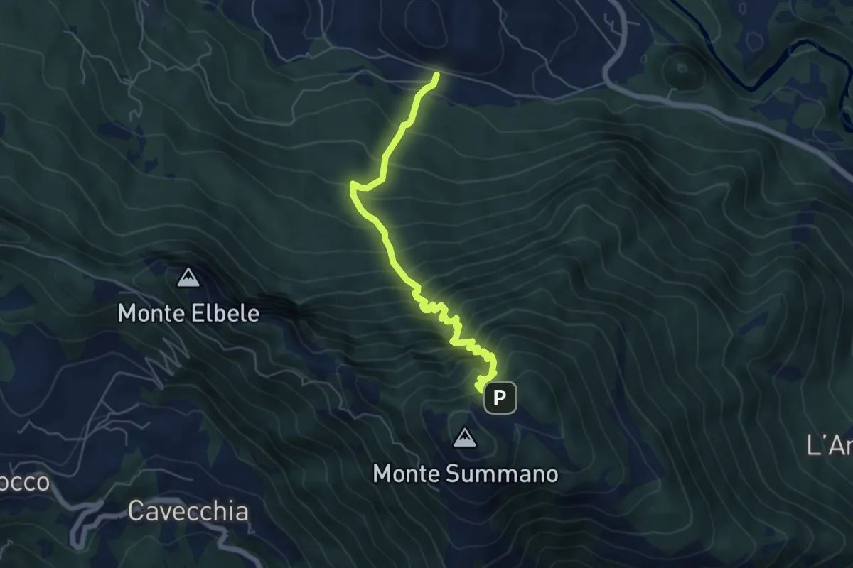
Demanding · Trail
Crosare di Velo d'Astico – Piazzale Belvedere (Monte Summano)-inn. sent. 462a
6.0 km · ↑ 833 m · 3 h 13 min · 6 km away
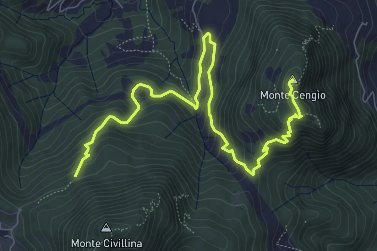
Medium · Summit
Sentiero del Singio
8.2 km · ↑ 569 m · 3 h 11 min · 6 km away
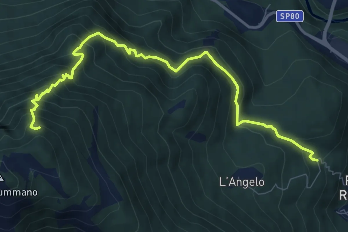
Demanding · Trail
Via dell'Angelo (quota 400m) – innesto sentiero 460
8.7 km · ↑ 916 m · 4 h 2 min · 7 km away