Trails near Schio
155 hikes starting within 15 km, nearest first.
Nearest first, page 3 of 4
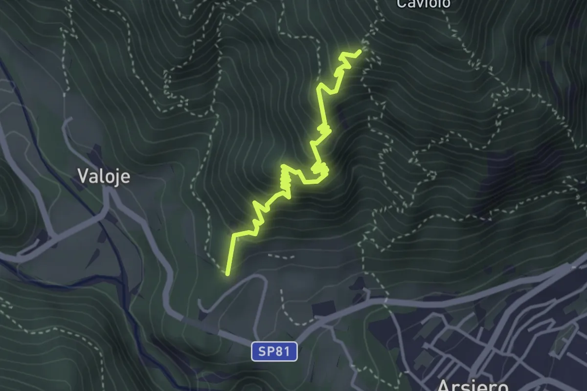
Medium · Trail
Chiesa San Rocco (Arsiero) – Ara del Spin (innesto sentiero 542)
3.6 km · ↑ 474 m · 1 h 53 min · 11 km away
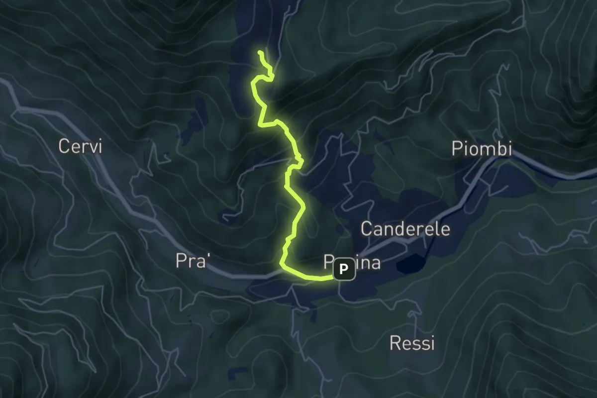
Medium · Trail
Posina – Contrà Xausa - inn. sent. 511
4.5 km · ↑ 408 m · 1 h 57 min · 11 km away
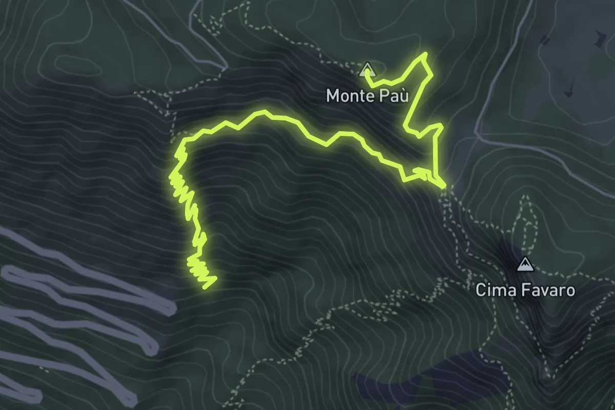
Medium · Summit
Statale del Costo (10° tornante) – Cima del Gallo
7.8 km · ↑ 769 m · 3 h 30 min · 12 km away
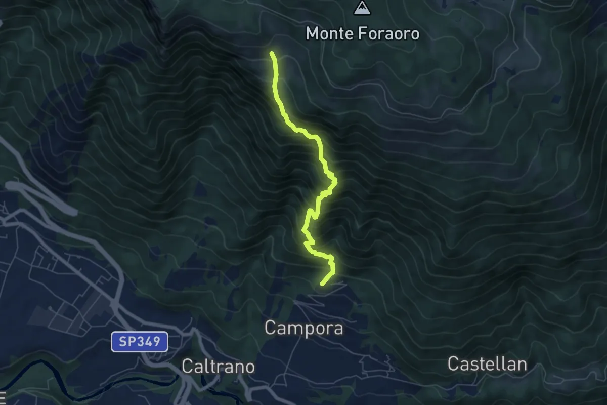
Demanding · Trail
Tezze di Caltrano - Malga Sunio
5.6 km · ↑ 857 m · 3 h 11 min · 12 km away
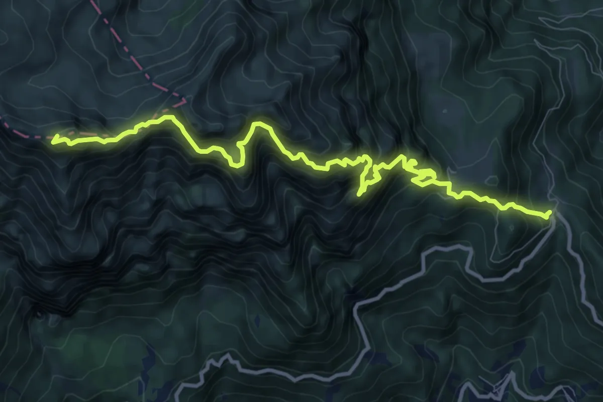
Demanding · Summit
Strada delle 52 gallerie
11.6 km · ↑ 1773 m · 6 h 35 min · 12 km away
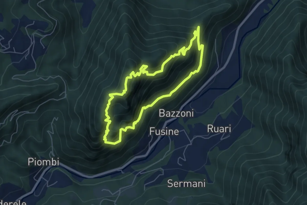
Medium · Summit
Anello del Gamonda
5.2 km · ↑ 636 m · 2 h 41 min · 12 km away
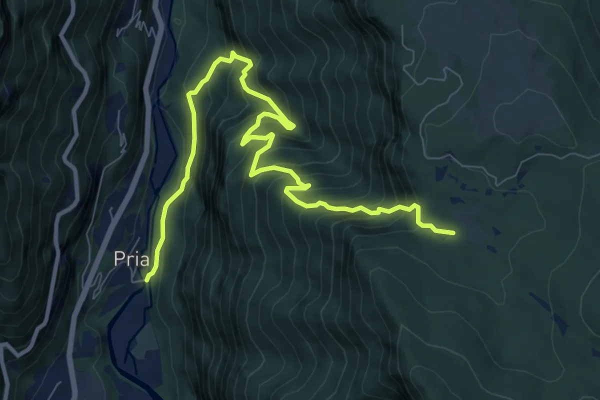
Demanding · Trail
Contrà Pria – Piazzale dei Granatieri (Monte Cengio)
9.5 km · ↑ 1039 m · 4 h 30 min · 12 km away
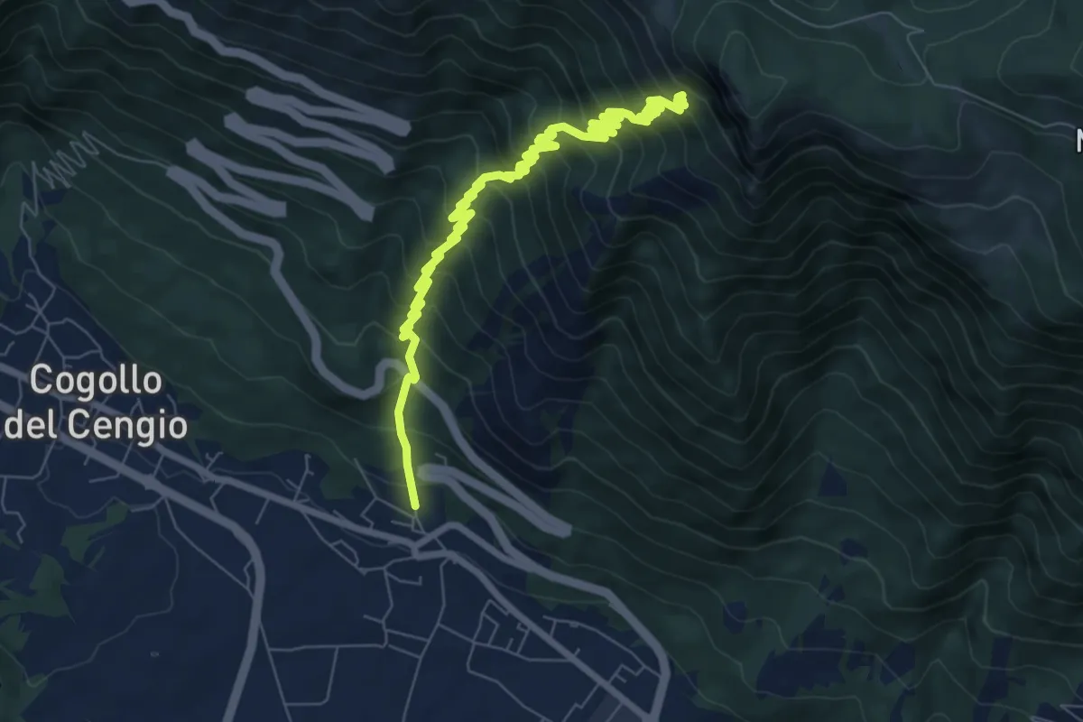
Demanding · Trail
Mosso - Bocchetta Paù per la Val Terragna
9.2 km · ↑ 1127 m · 4 h 37 min · 12 km away
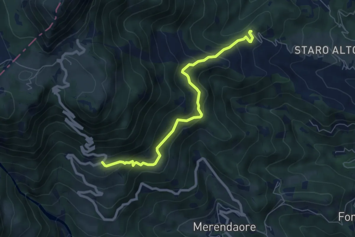
Medium · Trail
rifugio La Guardia – nei pressi di Staro Mille
6.1 km · ↑ 452 m · 2 h 26 min · 12 km away
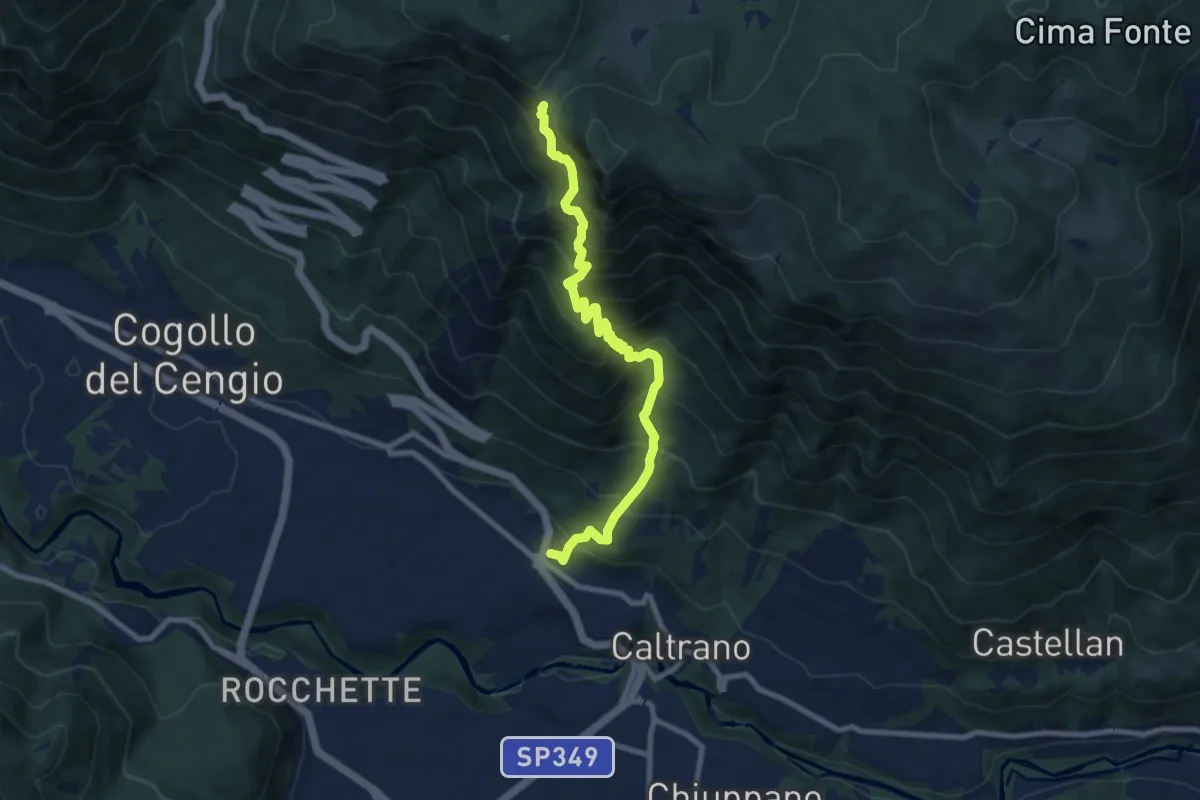
Demanding · Trail
Caltrano (cimitero) – Bocchetta Paù
9.1 km · ↑ 1139 m · 4 h 37 min · 12 km away
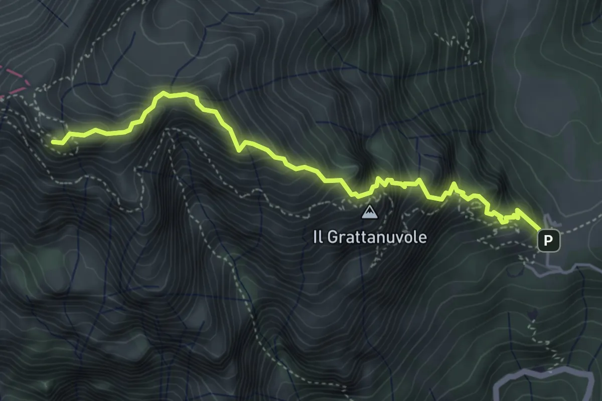
Demanding · Summit
Via Ferrata Gaetano Falcipieri
4.9 km · ↑ 771 m · 2 h 49 min · 12 km away
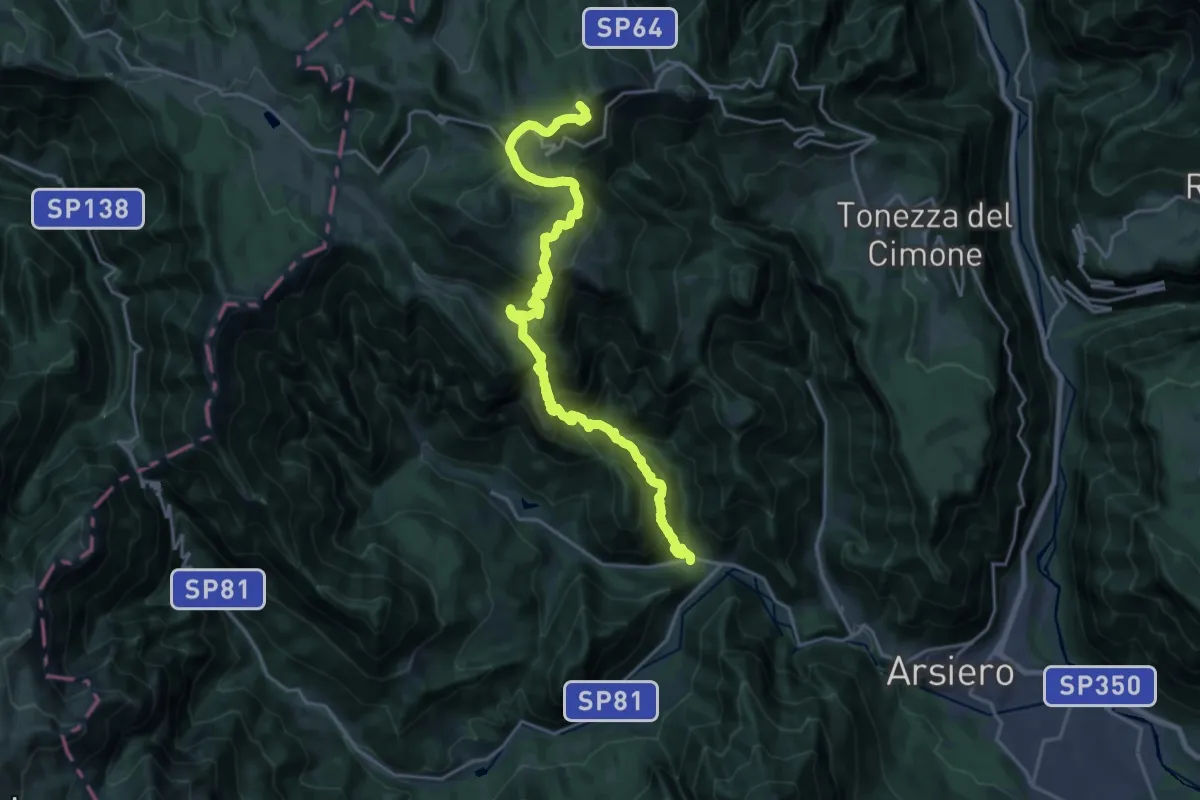
Demanding · Summit
Castana – Campomolon - Rifugio Rumor
25.1 km · ↑ 2045 m · 10 h 21 min · 12 km away
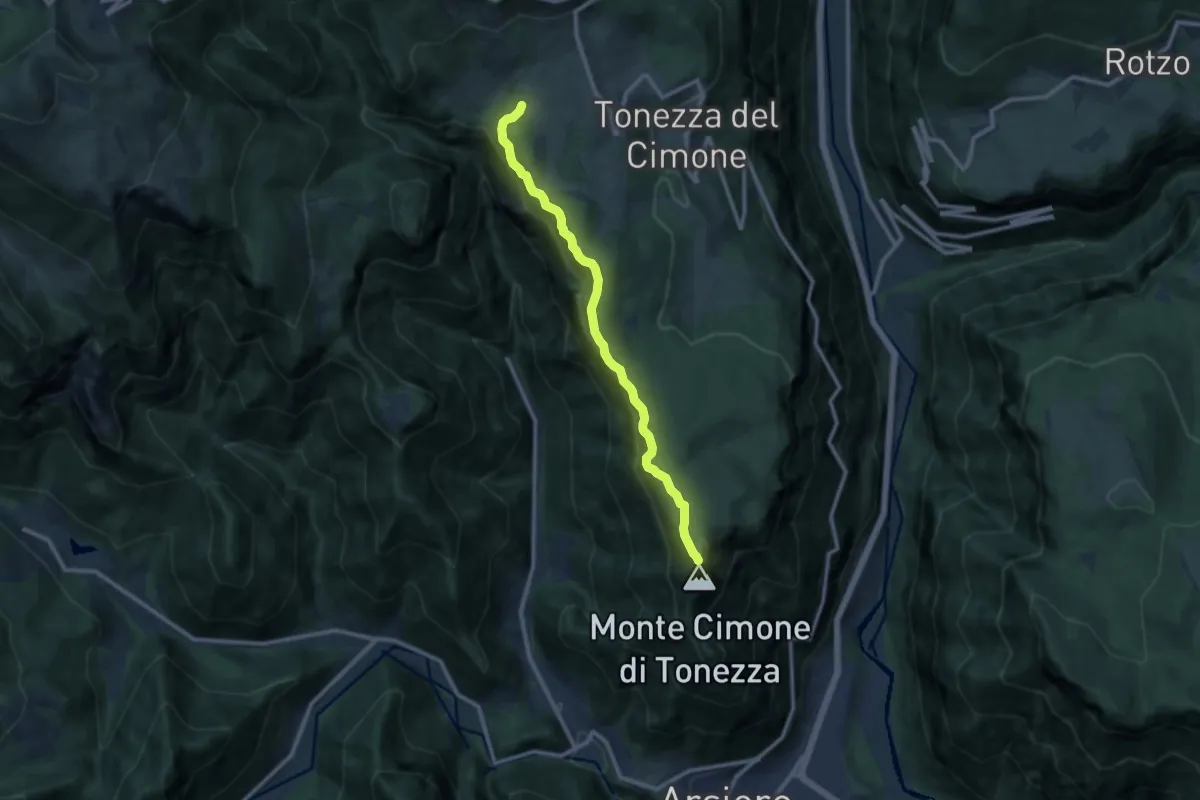
Medium · Trail
Contrà Valle - Baito Tedetta - La Pontara – Monte Cimone
9.9 km · ↑ 490 m · 3 h 24 min · 12 km away
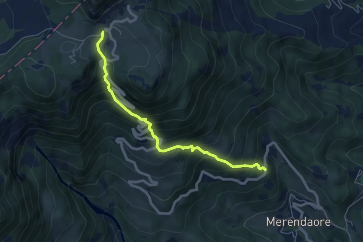
Medium · Cabin
Sengio delle Campane - da S.P. 99 – Rifugio Campogrosso
5.1 km · ↑ 598 m · 2 h 30 min · 13 km away
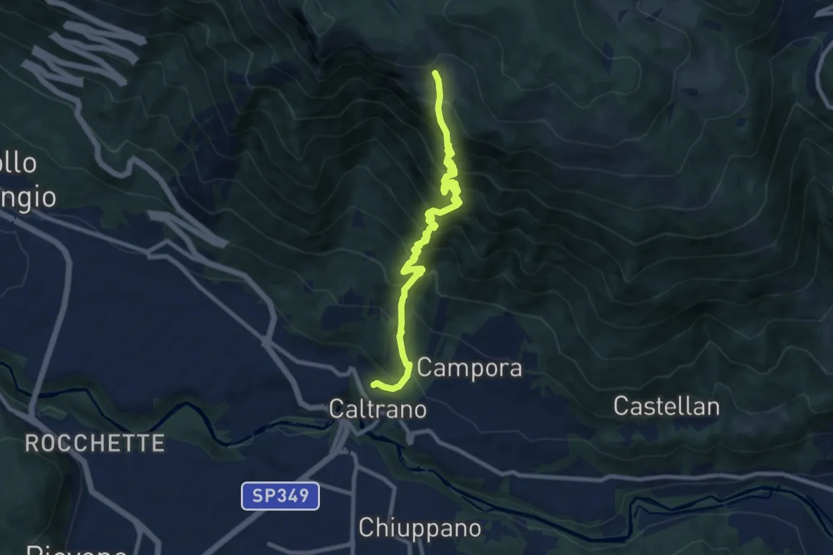
Demanding · Trail
Caltrano – Malga Sunio
9.9 km · ↑ 1138 m · 4 h 47 min · 13 km away
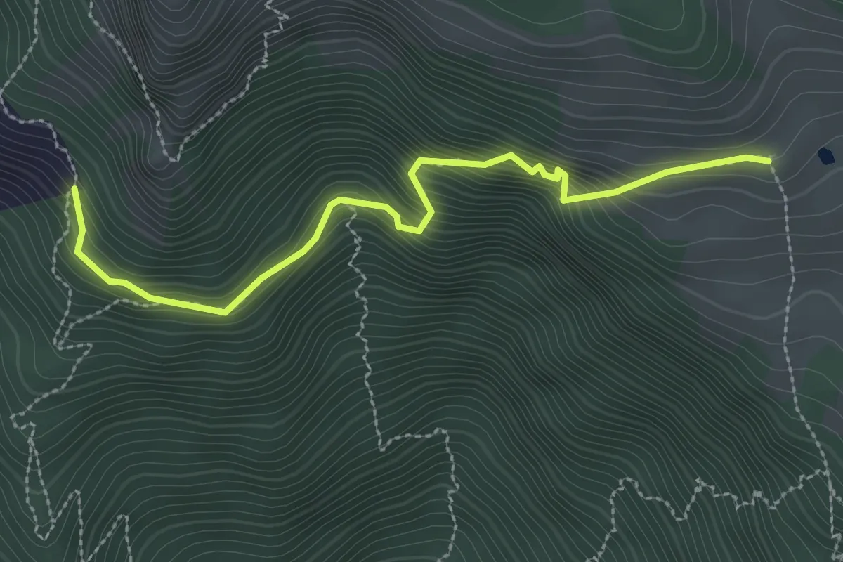
Medium · Trail
Raccordo da segnavia 671 quota m. 1169 – Malga Sunio
3.0 km · ↑ 404 m · 1 h 35 min · 13 km away
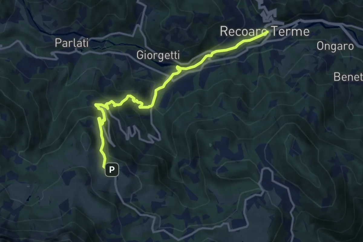
Medium · Trail
Sentiero dell'Orso
9.9 km · ↑ 671 m · 3 h 48 min · 13 km away
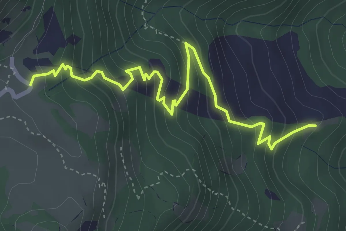
Medium · Trail
Località Ramaise – Rifugio Campogrosso
4.6 km · ↑ 431 m · 2 h 1 min · 13 km away
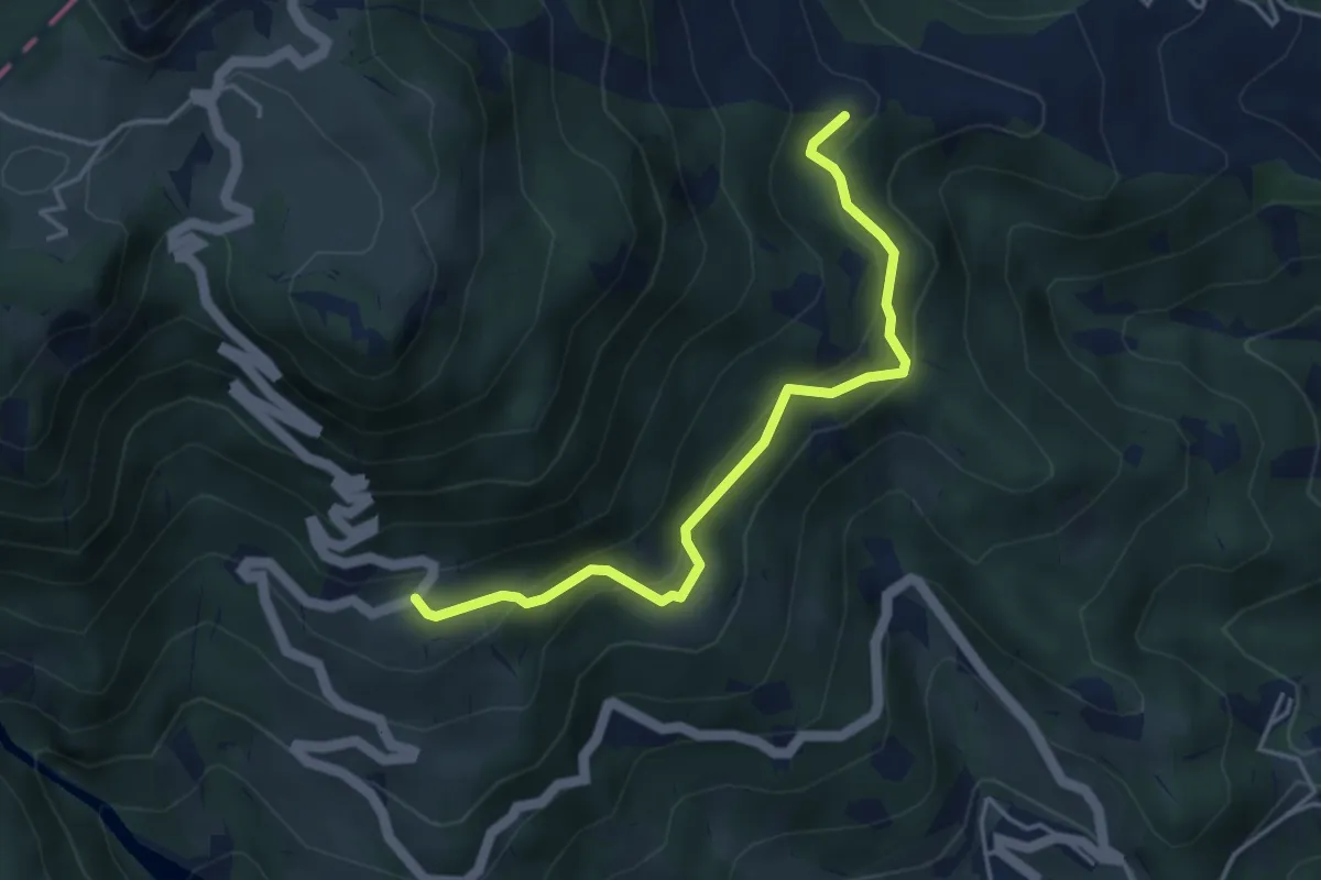
Easy · Trail
Rifugio La Guardia – nei Pressi di Staro Mille (innesto sentiero 154)
4.2 km · ↑ 281 m · 1 h 36 min · 13 km away
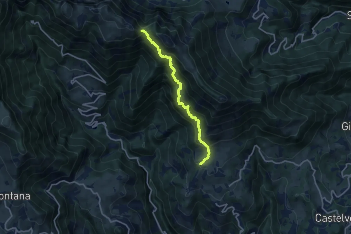
Demanding · Trail
Contrada Castagna di Marana – Passo della Porta - innesto sentiero 202
8.2 km · ↑ 888 m · 3 h 51 min · 13 km away
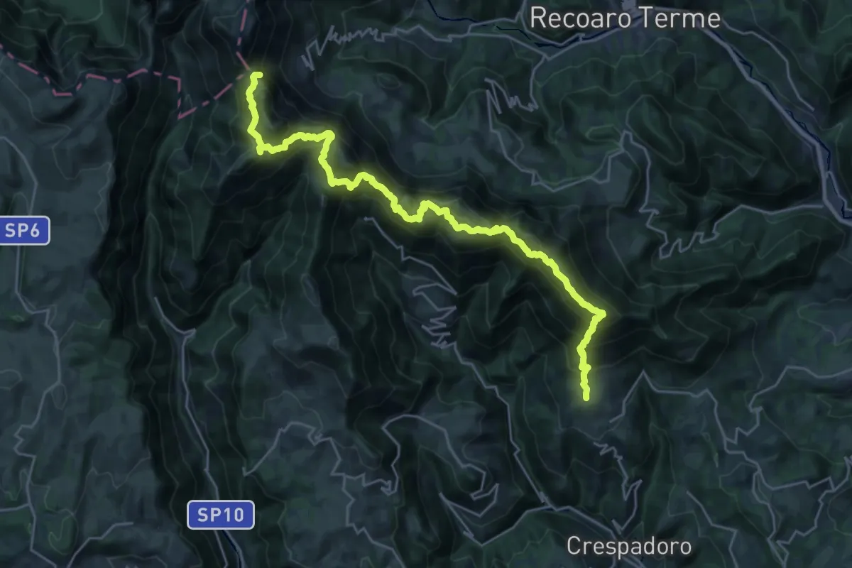
Demanding · Summit
Sentiero Francesco Milani
26.9 km · ↑ 2051 m · 10 h 48 min · 13 km away
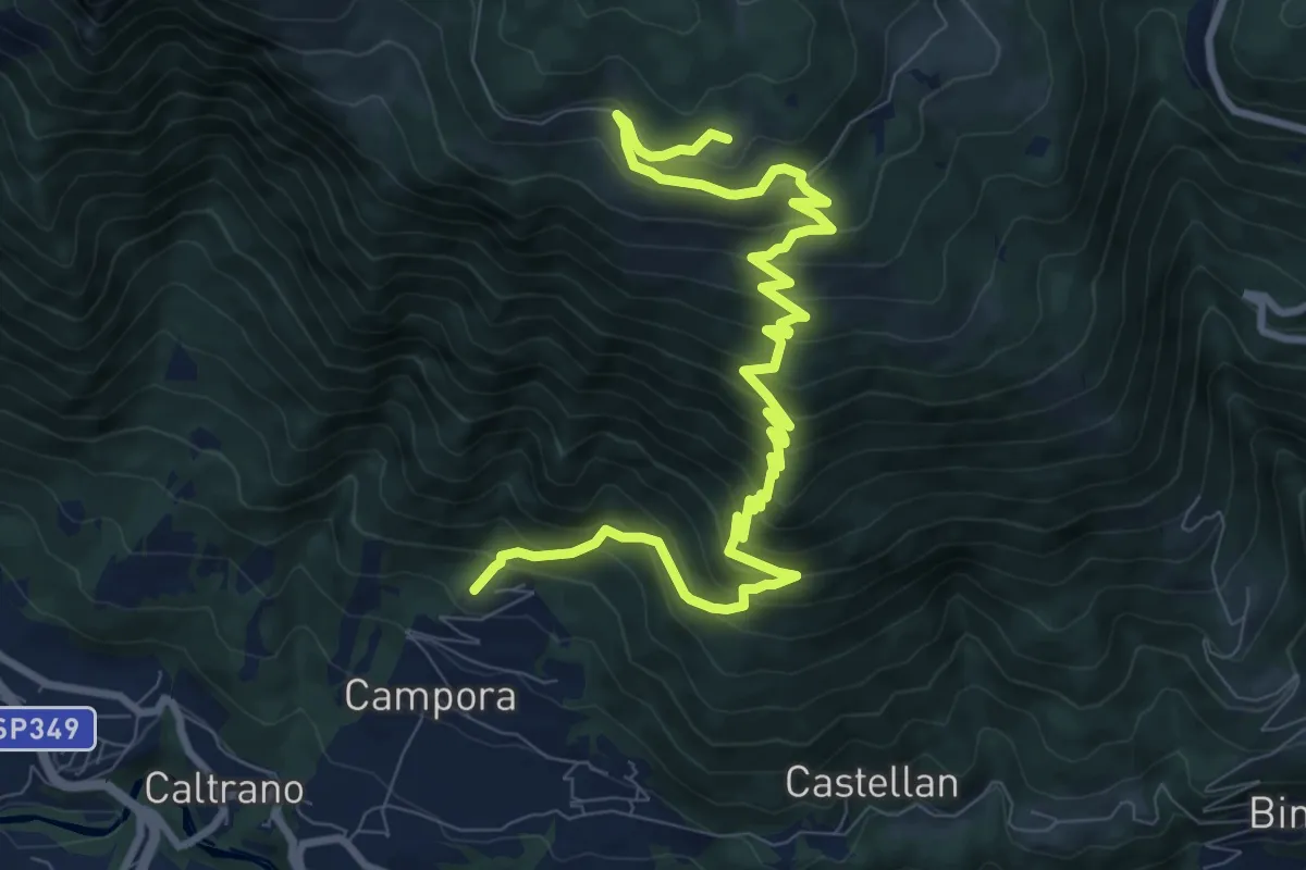
Demanding · Trail
Tezze di Caltrano - Malga Foraoro
12.2 km · ↑ 1011 m · 5 h 4 min · 13 km away
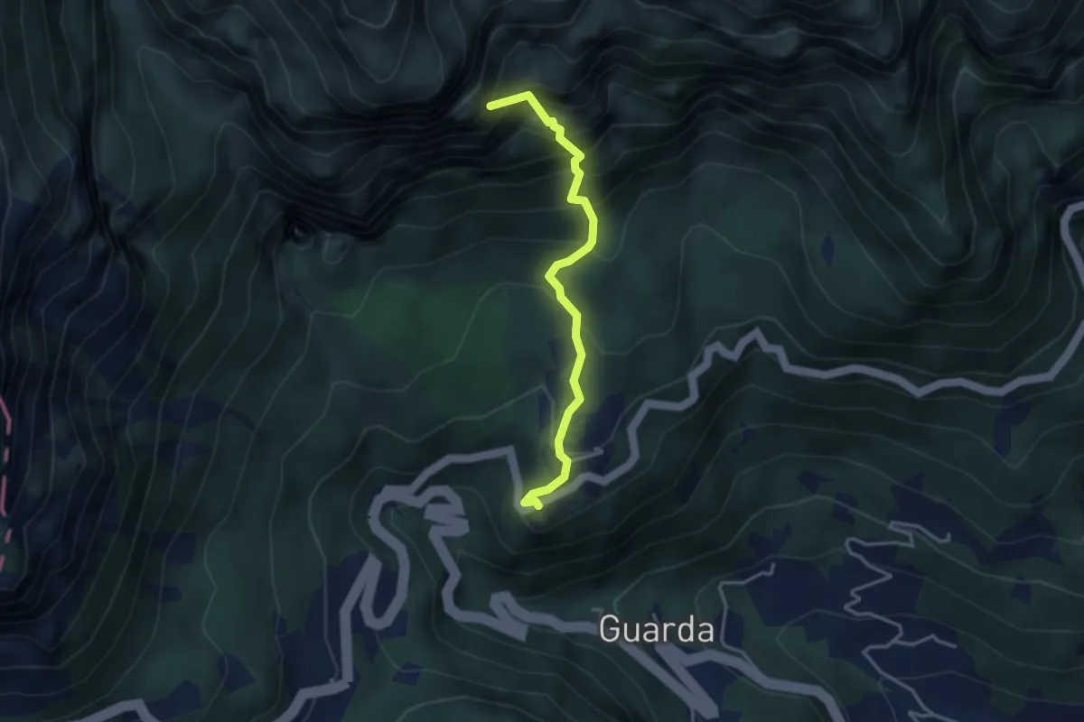
Demanding · Summit
Val Fontana d'Oro
3.3 km · ↑ 453 m · 1 h 46 min · 13 km away
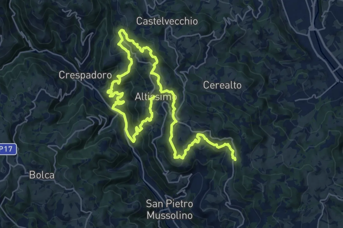
Medium · Summit
Sentiero delle Contrade di Altissimo
15.6 km · ↑ 780 m · 5 h 35 min · 13 km away
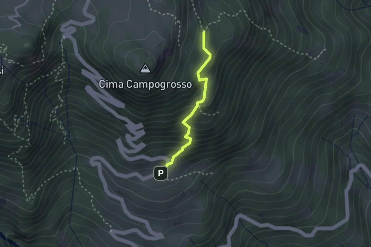
Easy · Trail
Sentiero del Becco Storto
2.0 km · ↑ 242 m · 1 h · 14 km away
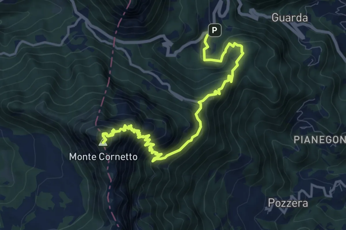
Expert · Summit
Sentiero dell'Emmele
11.1 km · ↑ 980 m · 4 h 45 min · 14 km away
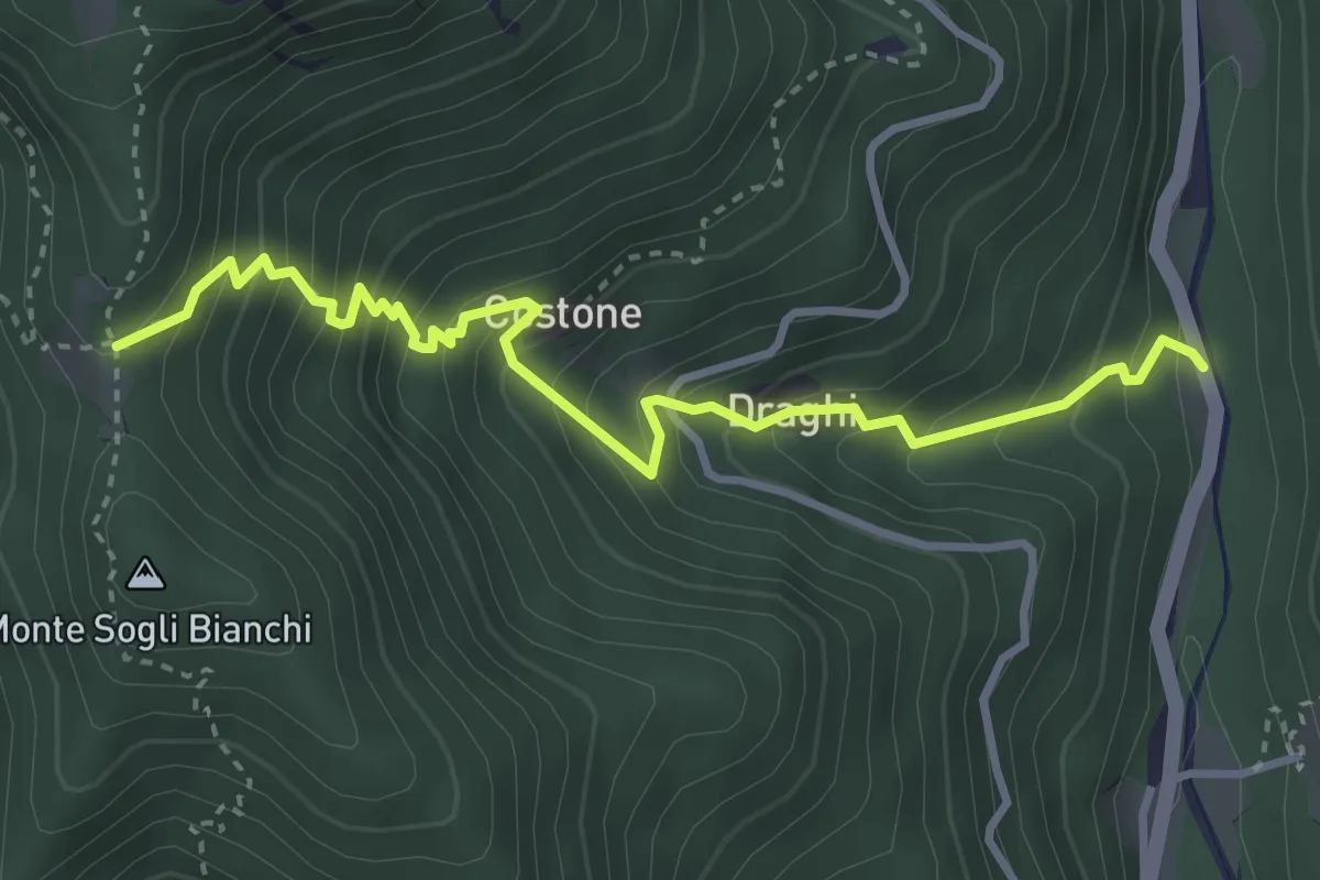
Medium · Trail
Frighi in Val Riofreddo – Casoni di Viosa (innesto sentiero 533)
3.8 km · ↑ 496 m · 1 h 59 min · 14 km away
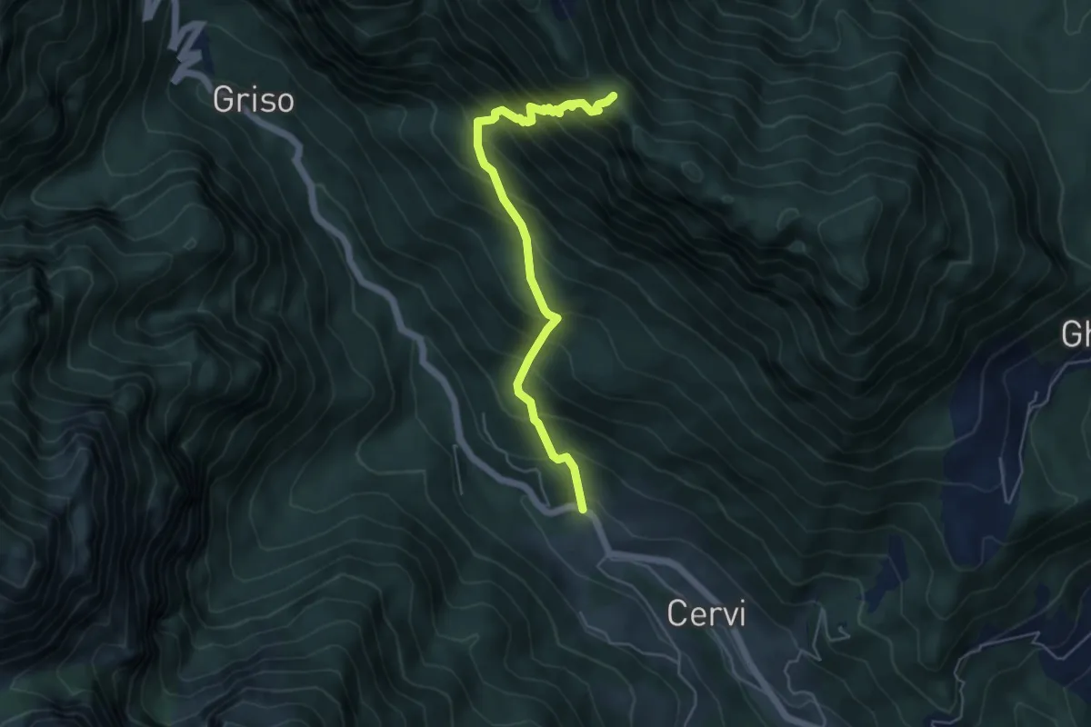
Medium · Trail
Contrà Ganna (Posina) – Passo del Colombo (innesto sentiero 511)
5.1 km · ↑ 737 m · 2 h 48 min · 14 km away
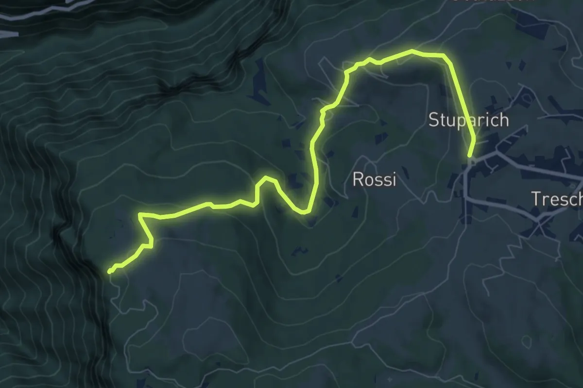
Medium · Trail
Chiesa (Tresche Conca) – Forte Corbin
9.5 km · ↑ 398 m · 3 h 7 min · 14 km away
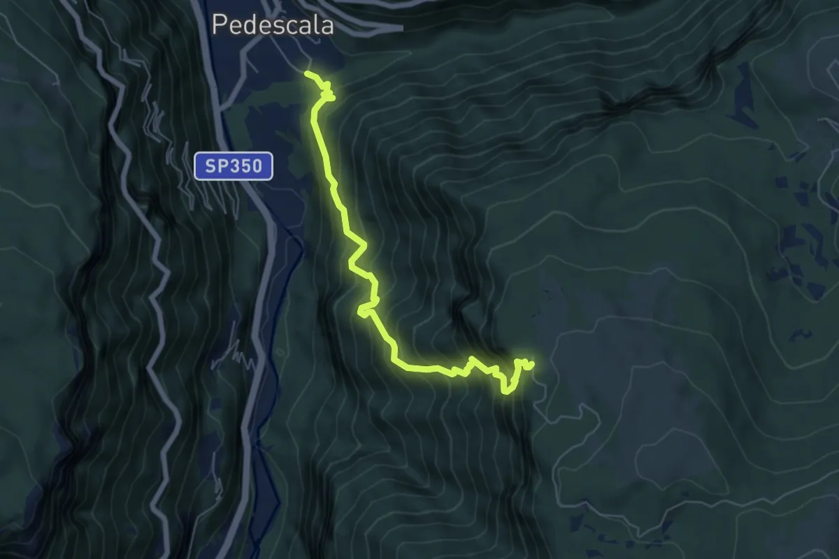
Demanding · Trail
Pedescala - Forte Corbin
6.2 km · ↑ 914 m · 3 h 27 min · 14 km away
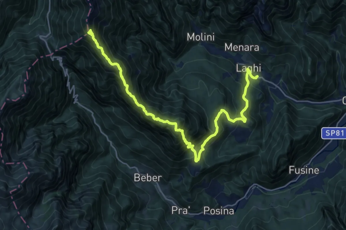
Demanding · Summit
Laghi – Sella della Borcoletta (innesto sentiero SAT 124)
20.0 km · ↑ 1645 m · 8 h 17 min · 14 km away
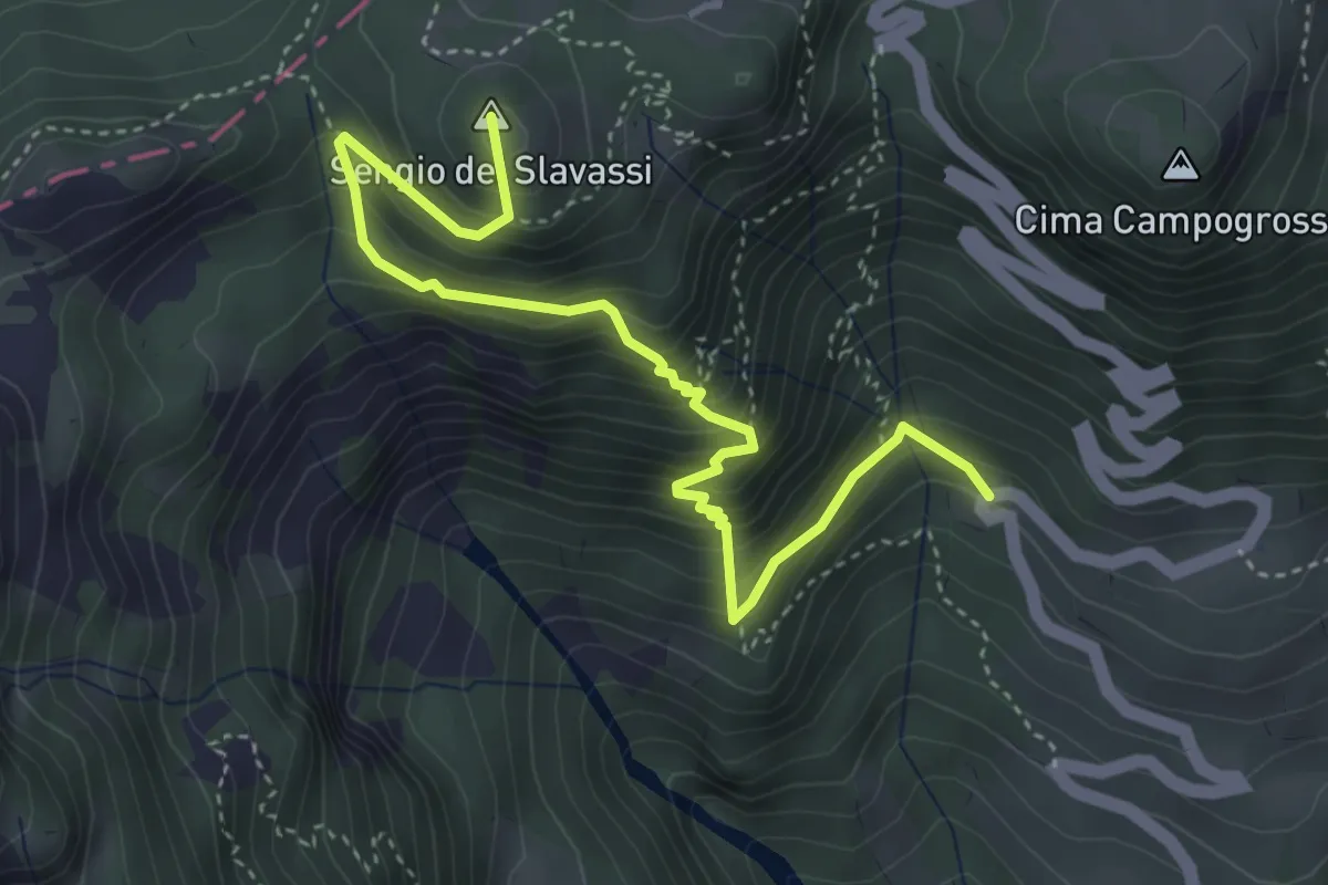
Medium · Summit
Sentiero delle Mole
4.6 km · ↑ 473 m · 2 h 7 min · 14 km away
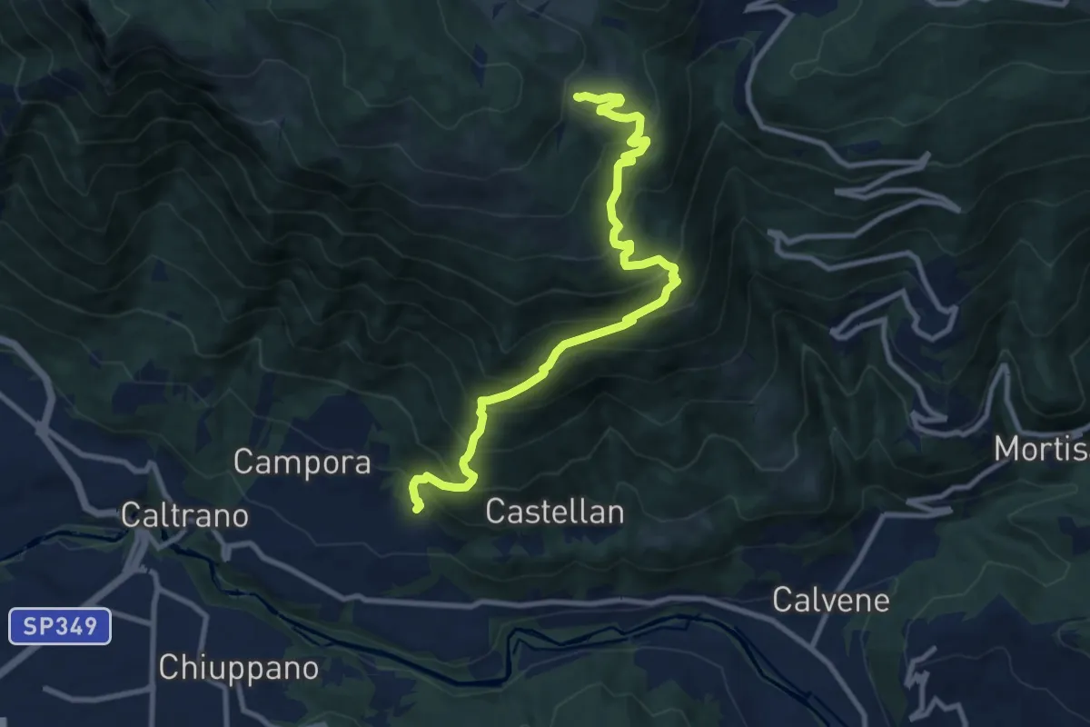
Demanding · Trail
Tezze di Caltrano - Malga Serona
10.5 km · ↑ 938 m · 4 h 30 min · 14 km away
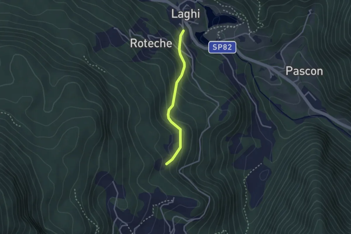
Medium · Trail
Strada della Cenega
2.2 km · ↑ 180 m · 55 min · 14 km away
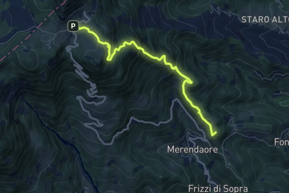
Medium · Summit
Sentiero "Alberto Gresele"
7.7 km · ↑ 683 m · 3 h 18 min · 14 km away
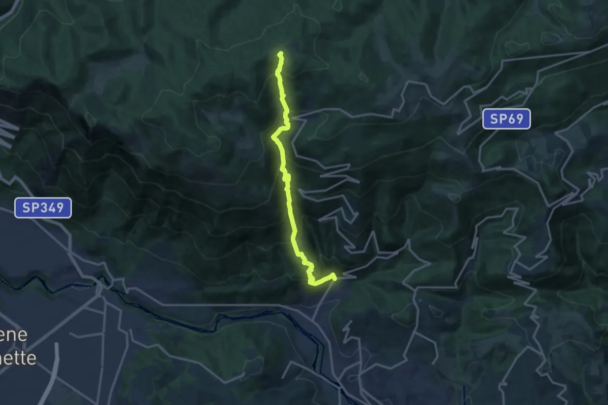
Demanding · Trail
Contrà Grumale di Calvene - Cima del Porco
12.4 km · ↑ 1249 m · 5 h 38 min · 14 km away
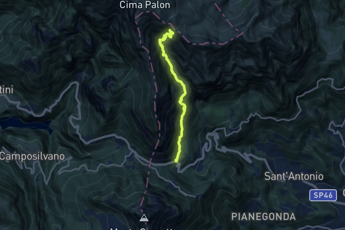
Demanding · Trail
Val Canale
8.4 km · ↑ 969 m · 4 h 5 min · 14 km away
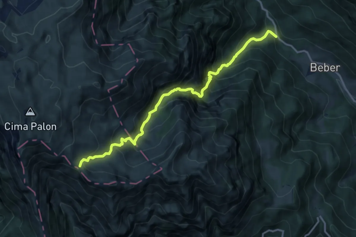
Demanding · Cabin
Val Sorapache
10.1 km · ↑ 1312 m · 5 h 14 min · 14 km away
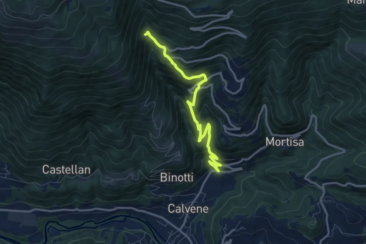
Medium · Trail
Contrà Grumale di Calvene - Folgaria di Calvene
8.1 km · ↑ 666 m · 3 h 21 min · 14 km away
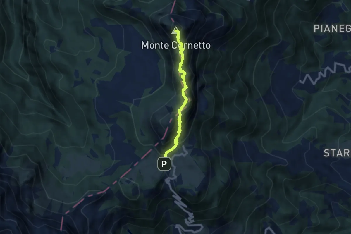
Demanding · Summit
Sentiero di arroccamento del Sengio Alto
5.9 km · ↑ 585 m · 2 h 39 min · 14 km away
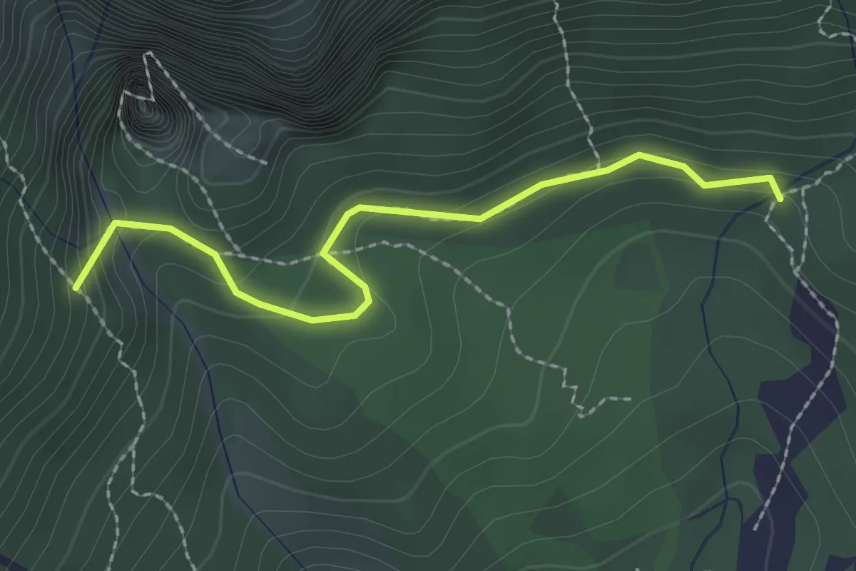
Medium · Trail
Prà dei Penzi (bivio Percorso 322) – Val Canale (Percorso 311)
2.2 km · ↑ 114 m · 46 min · 14 km away
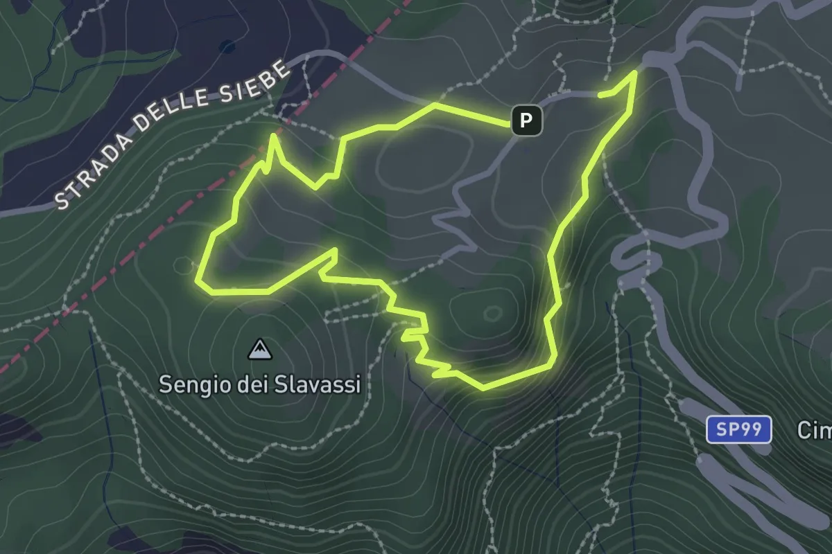
Medium · Summit
I Anello Storico
2.2 km · ↑ 108 m · 48 min · 14 km away
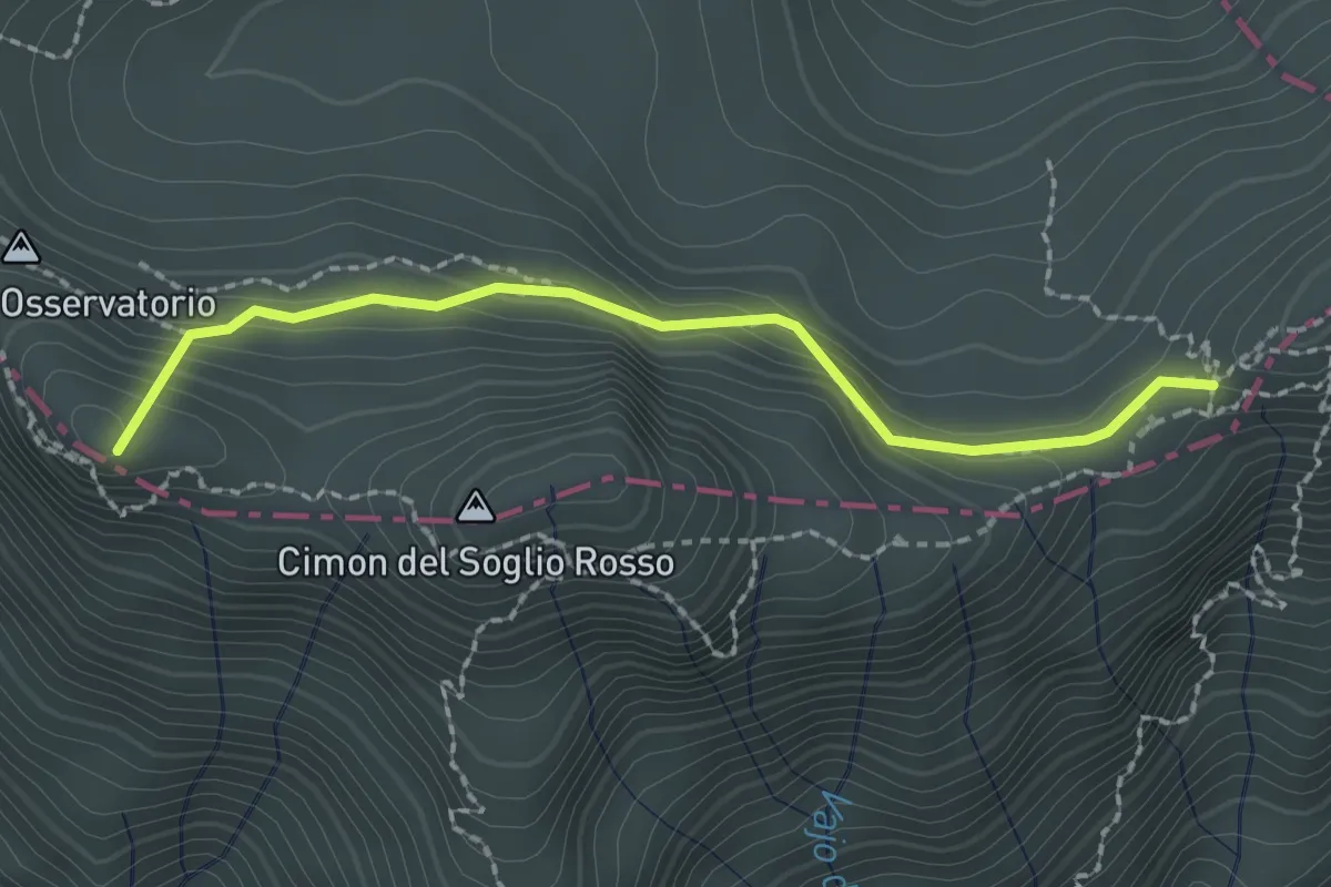
Medium · Summit
Passo di Fontana d'Oro - da sent. 322 – Porte del Pasubio - Rifugio Papa
2.1 km · ↑ 172 m · 52 min · 14 km away
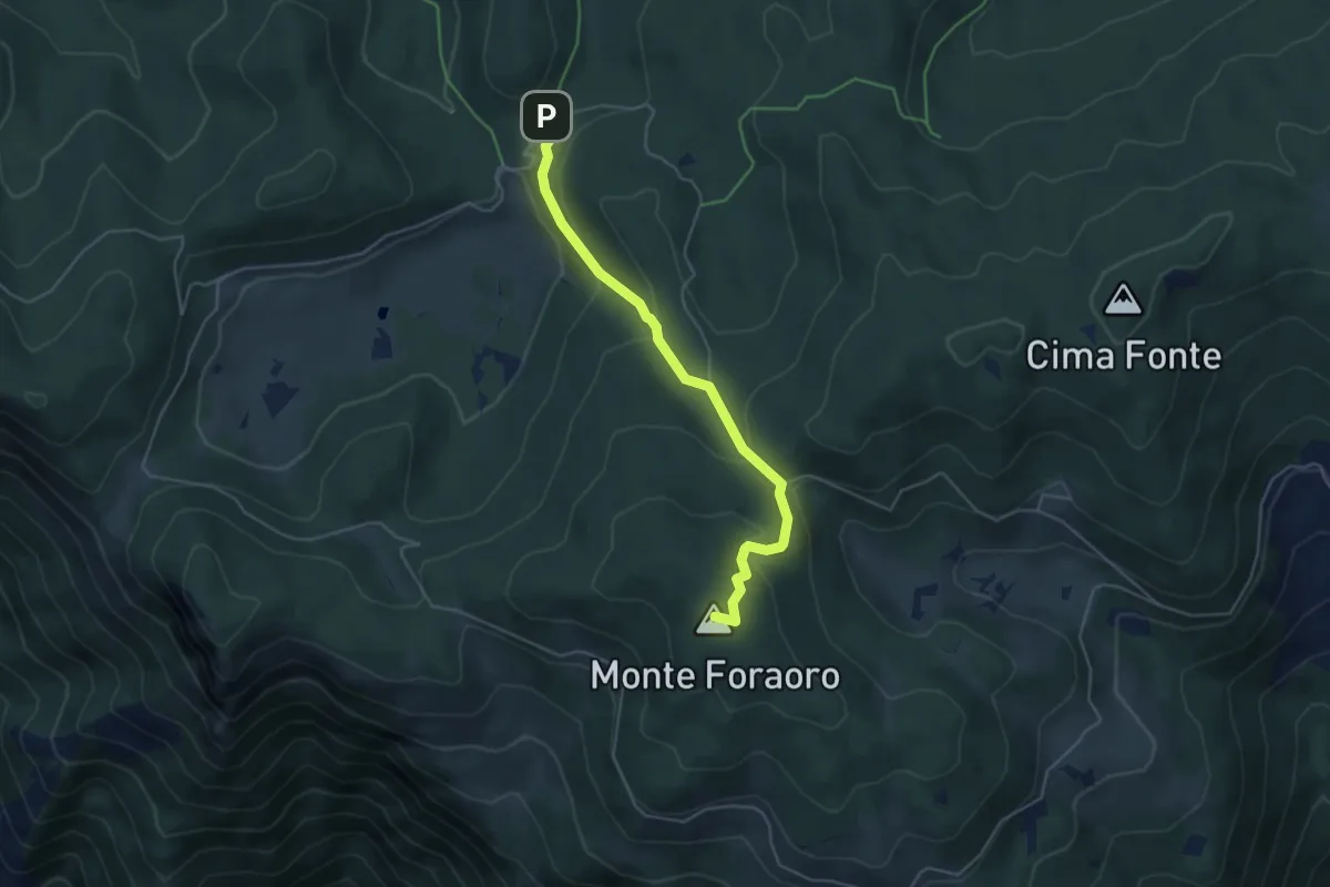
Medium · Summit
Sentiero di Pace
4.6 km · ↑ 252 m · 1 h 38 min · 14 km away
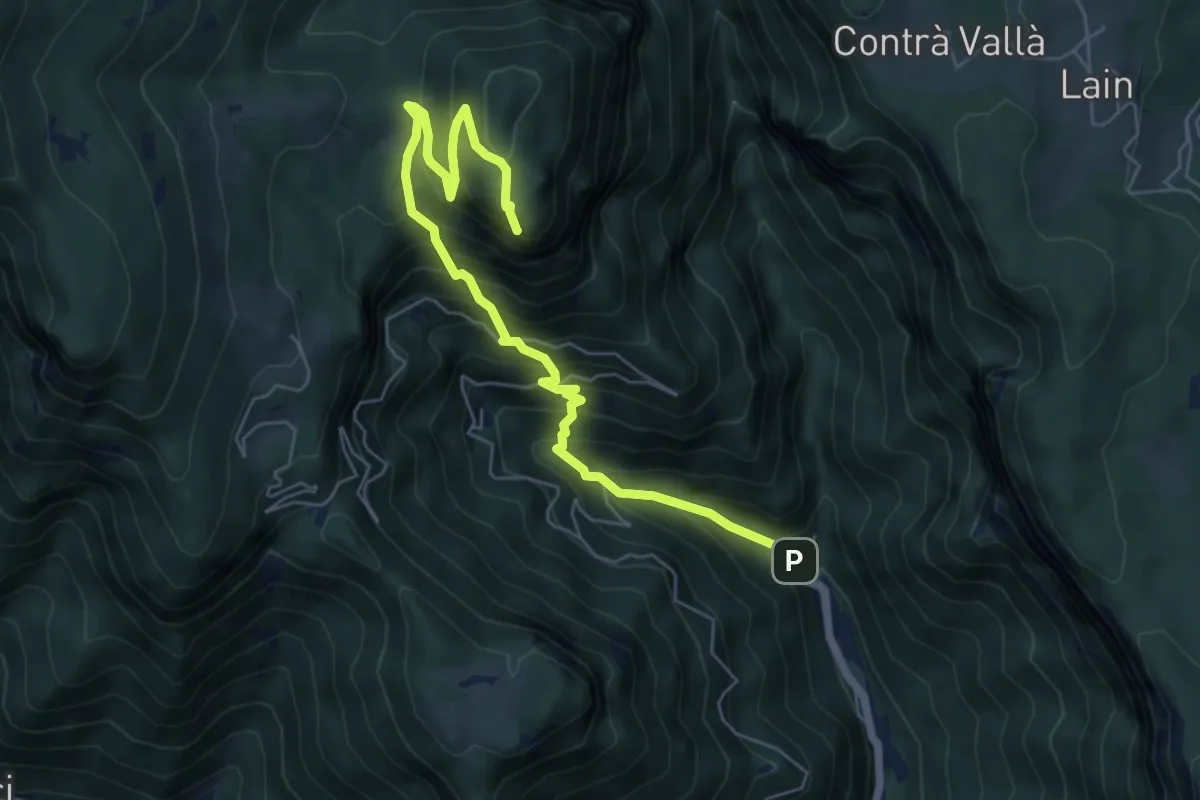
Demanding · Summit
Contrà Scattolari (Val Riofreddo) – Monte Tormeno
7.0 km · ↑ 828 m · 3 h 27 min · 14 km away
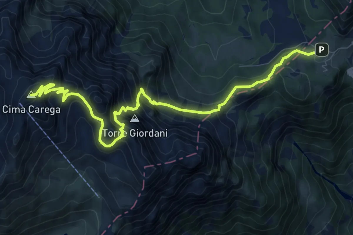
Demanding · Summit
Sentiero Boale dei Fondi
11.3 km · ↑ 1077 m · 5 h 1 min · 14 km away
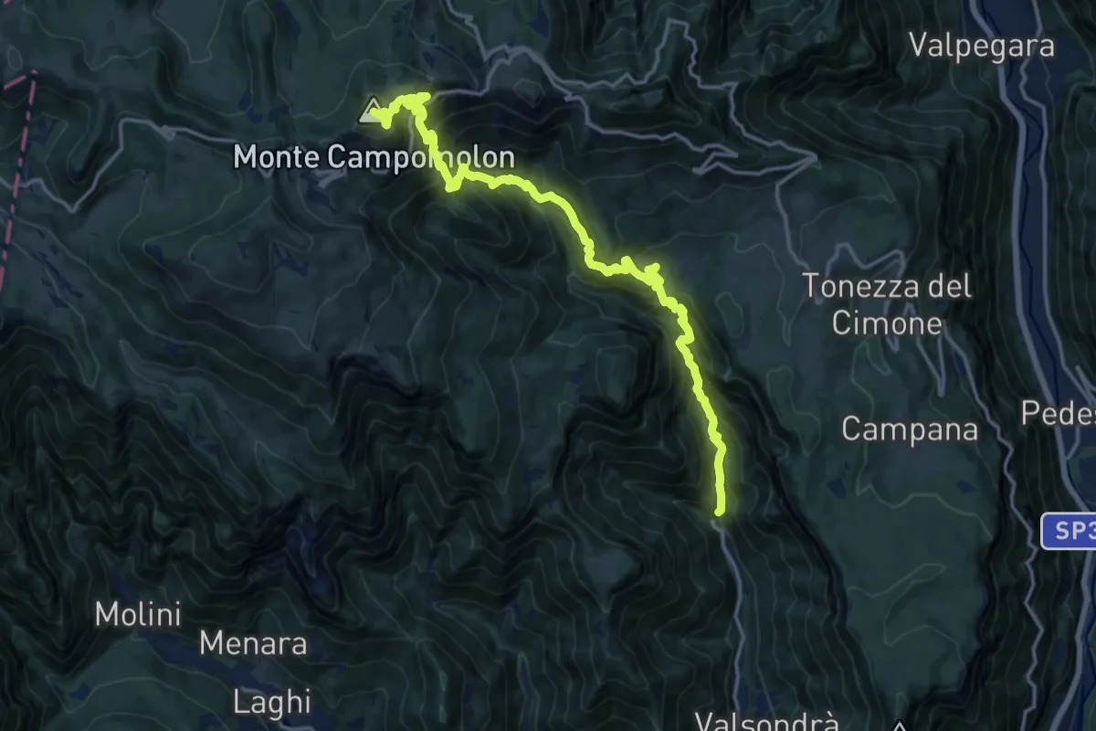
Demanding · Summit
Contrà Scattolari (Val Riofreddo) – Monte Campomolon
17.0 km · ↑ 1676 m · 7 h 38 min · 15 km away
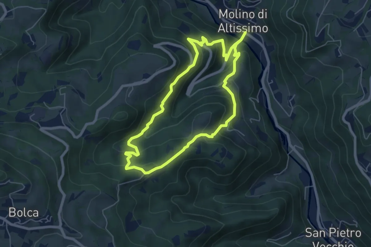
Medium · Trail
Sentiero Pesciaia
5.3 km · ↑ 362 m · 2 h 6 min · 15 km away