Trails near Schlanders - Silandro
46 hikes starting within 15 km, nearest first.
Nearest first
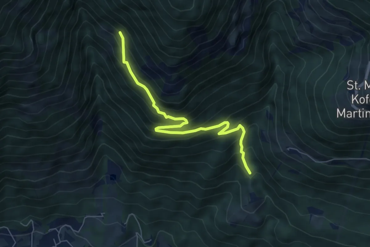
Medium · Trail
Tiss – Zuckbichl
6.0 km · ↑ 578 m · 2 h 40 min · 4 km away
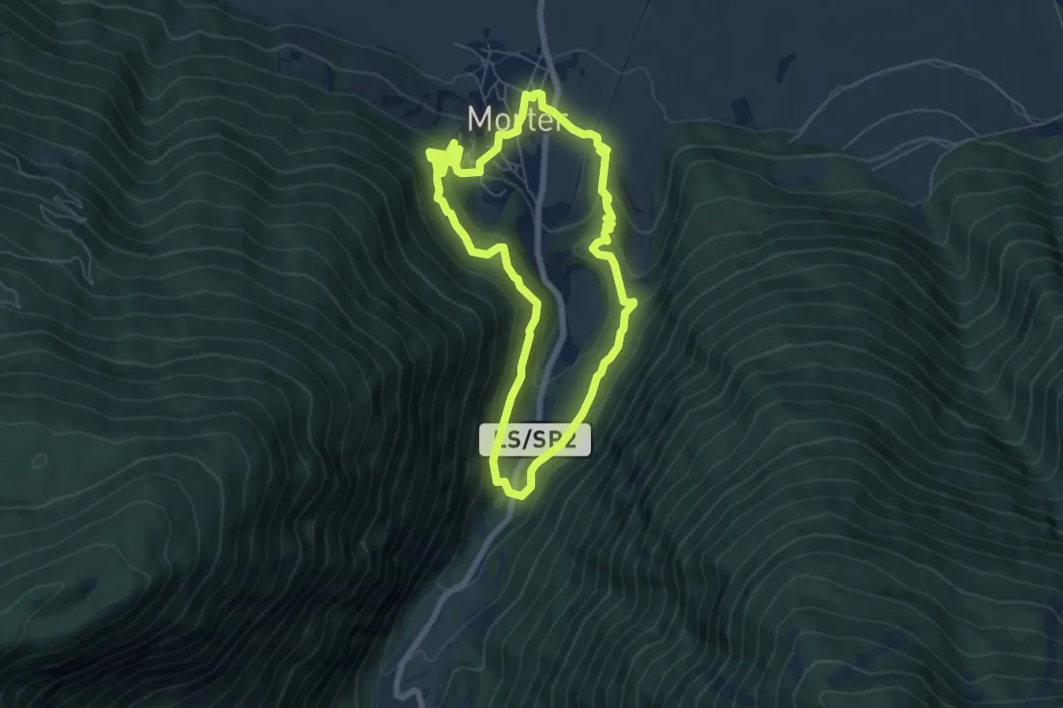
Medium · Trail
Waalrundweg
5.9 km · ↑ 280 m · 2 h 5 min · 4 km away
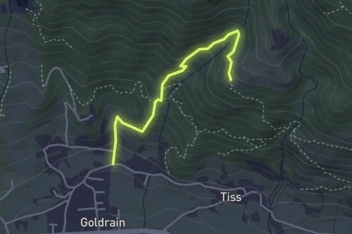
Medium · Trail
Percorso 6 – Coldrano
2.9 km · ↑ 300 m · 1 h 21 min · 5 km away
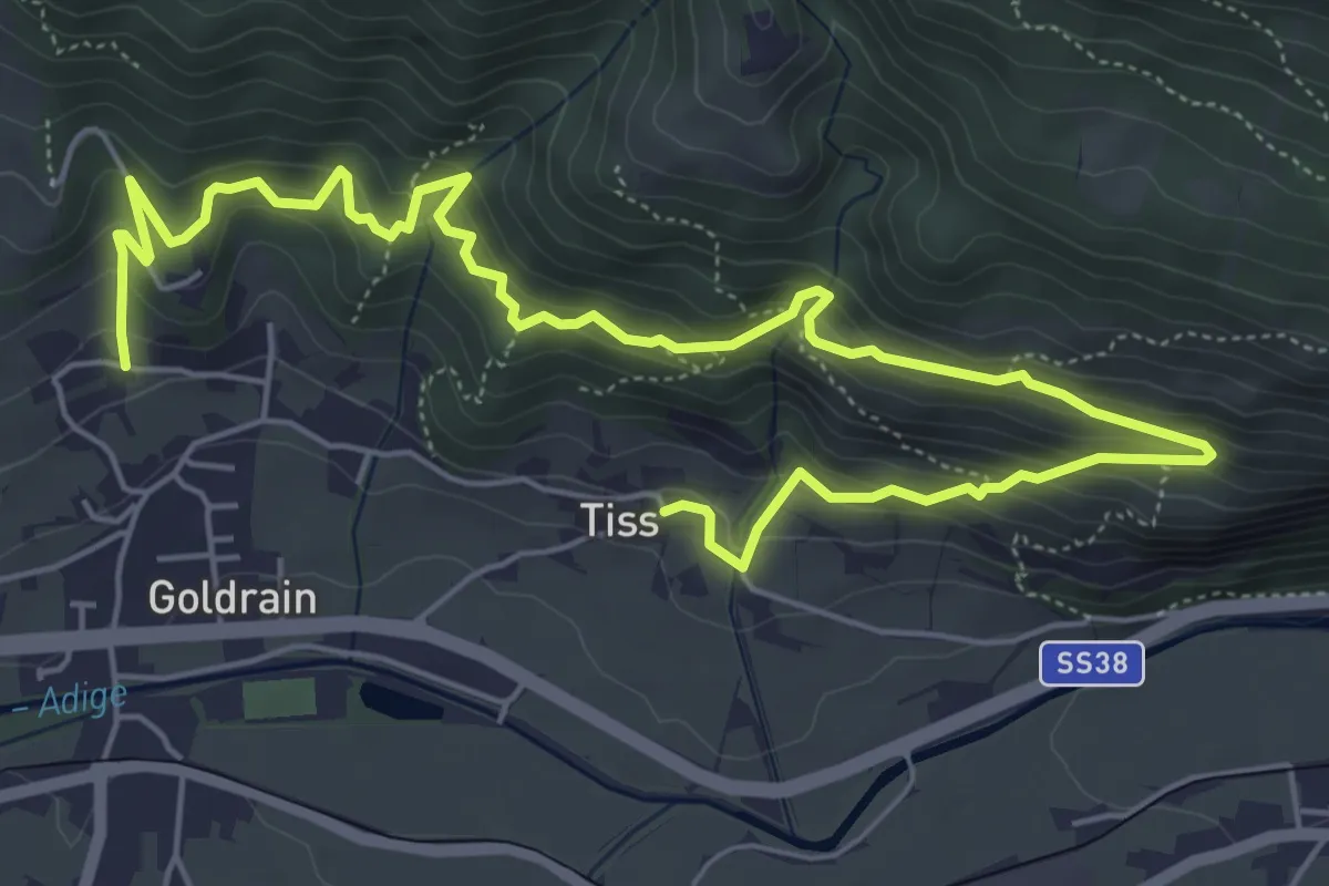
Medium · Trail
Goldrainer Panoramaweg - Sentiero panoramico di Coldrano
8.3 km · ↑ 656 m · 3 h 22 min · 5 km away
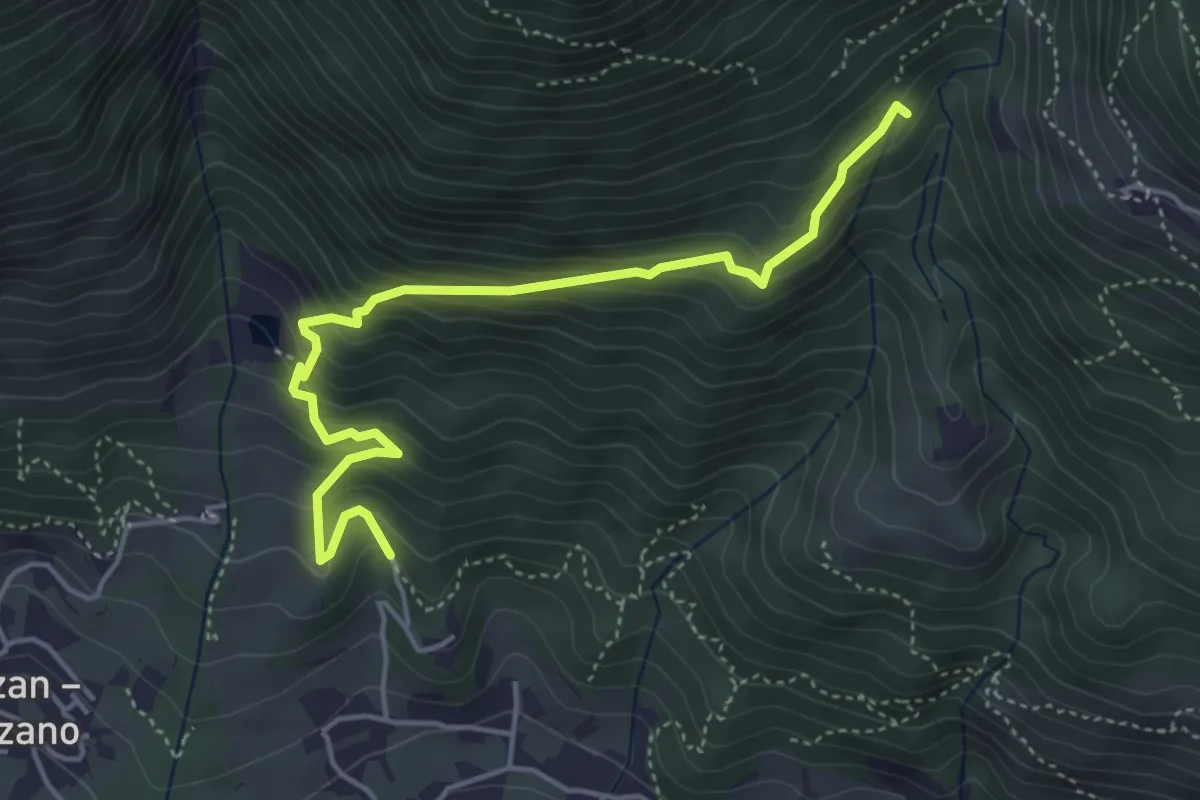
Medium · Trail
Coldrano – Percorso 14A
4.8 km · ↑ 492 m · 2 h 12 min · 5 km away
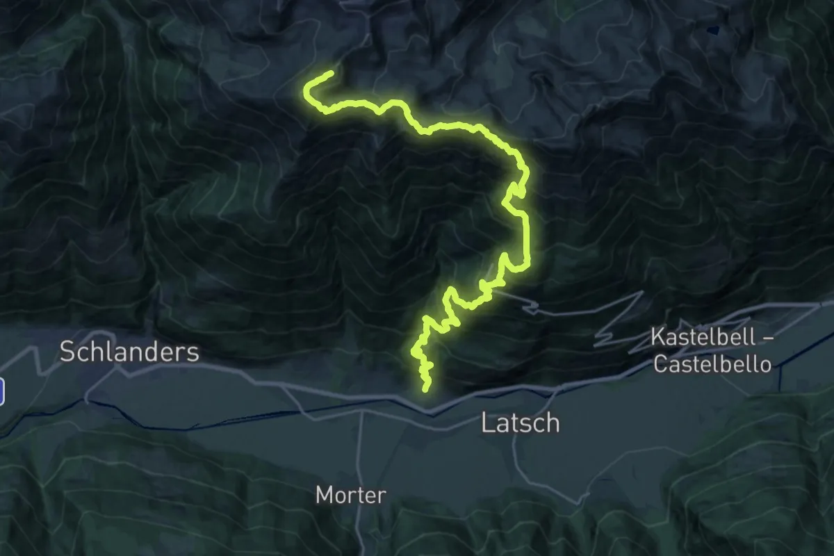
Expert · Summit
San Lucio – Monte Zerminig
28.6 km · ↑ 2727 m · 12 h 39 min · 5 km away
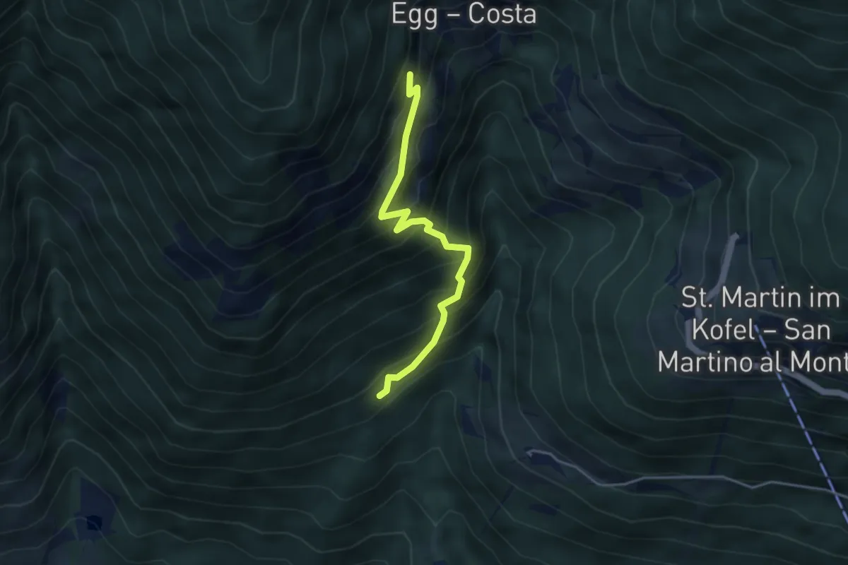
Medium · Trail
Percorso 14A – Forra
3.7 km · ↑ 535 m · 2 h 2 min · 5 km away
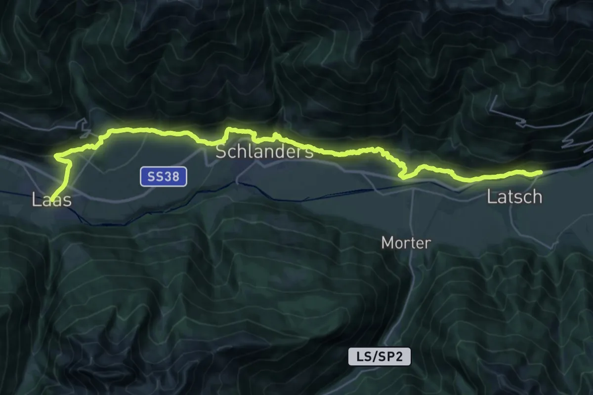
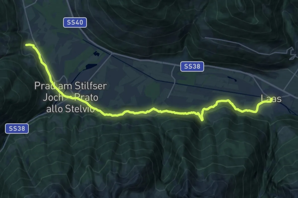
Medium · Pilgrim path
Jakobsweg Laas - Cammino di San Giacomo Lasa
17.2 km · ↑ 677 m · 5 h 53 min · 6 km away
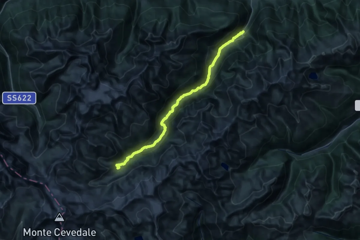
Medium · Pilgrim path
Jakobsweg Lichtenberg - Cammino di San Giacomo Montechiaro
13.3 km · ↑ 499 m · 4 h 23 min · 6 km away
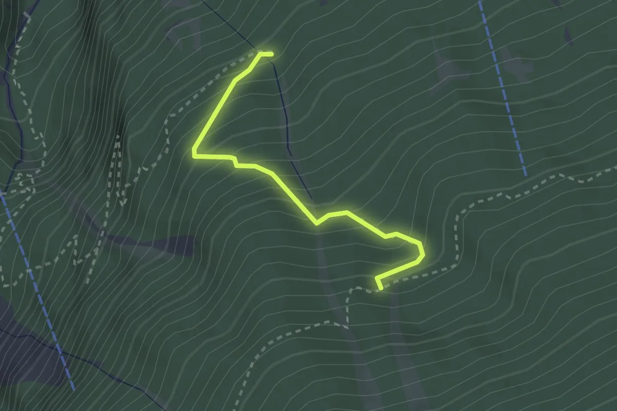
Demanding · Cabin
Marteller Talweg
18.1 km · ↑ 1460 m · 7 h 3 min · 6 km away
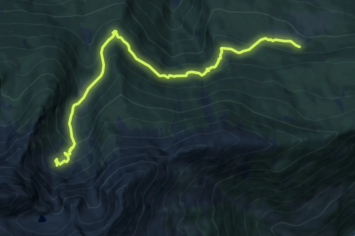
Medium · Trail
Gurgelsteig - Pergontal
2.4 km · ↑ 318 m · 1 h 15 min · 6 km away
Medium · Trail
Göflaner Marmorweg
12.9 km · ↑ 794 m · 4 h 47 min · 6 km away
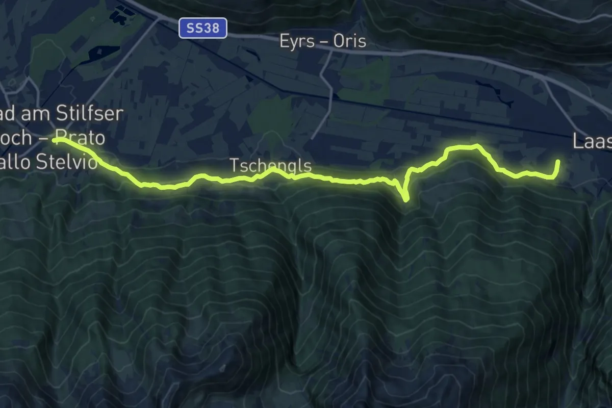
Demanding · Trail
Jakobsweg
18.7 km · ↑ 860 m · 6 h 17 min · 6 km away
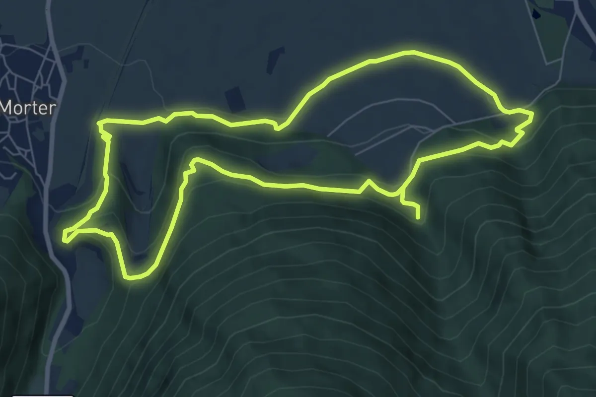
Medium · Trail
Rundweg Montani
13.6 km · ↑ 563 m · 4 h 26 min · 6 km away
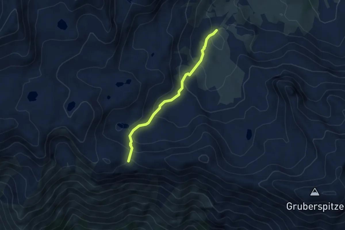
Medium · Trail
20B
3.7 km · ↑ 256 m · 1 h 26 min · 6 km away
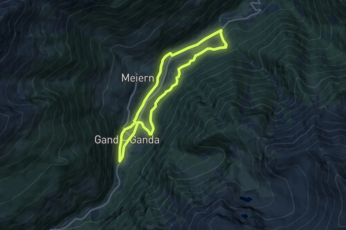
Medium · Trail
Südtiroler Erdbeer-Weg - Sentiero altoatesino delle fragole
8.1 km · ↑ 349 m · 2 h 48 min · 7 km away
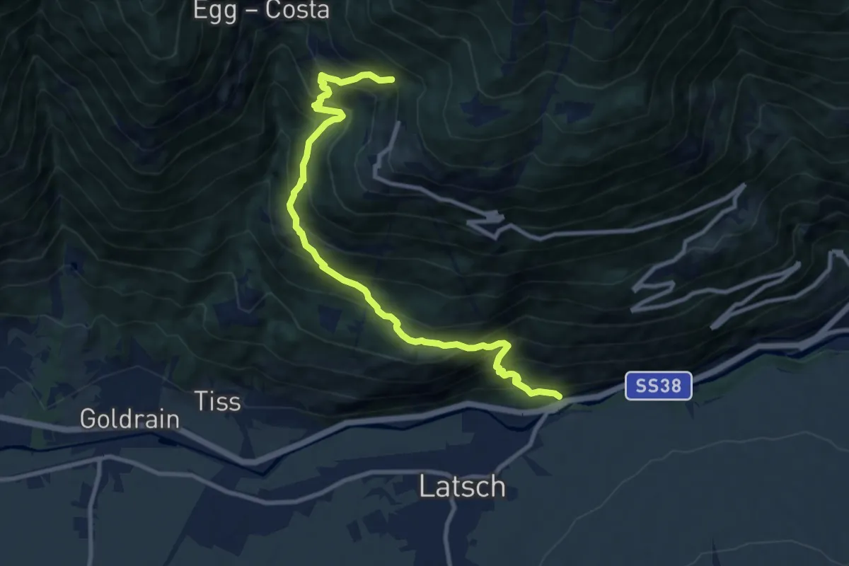
Demanding · Trail
7
10.0 km · ↑ 1104 m · 4 h 45 min · 7 km away
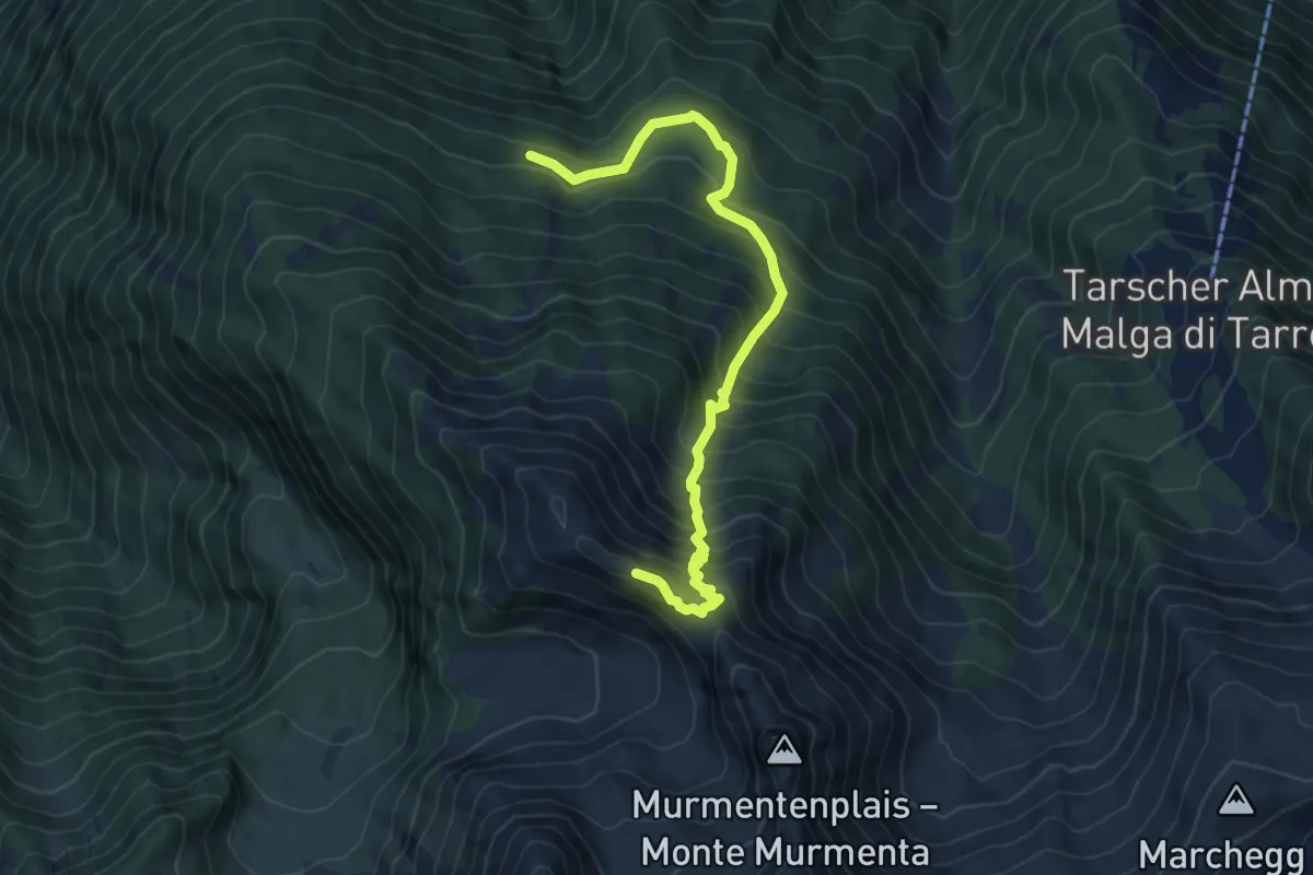
Demanding · Trail
10
7.5 km · ↑ 888 m · 3 h 41 min · 8 km away
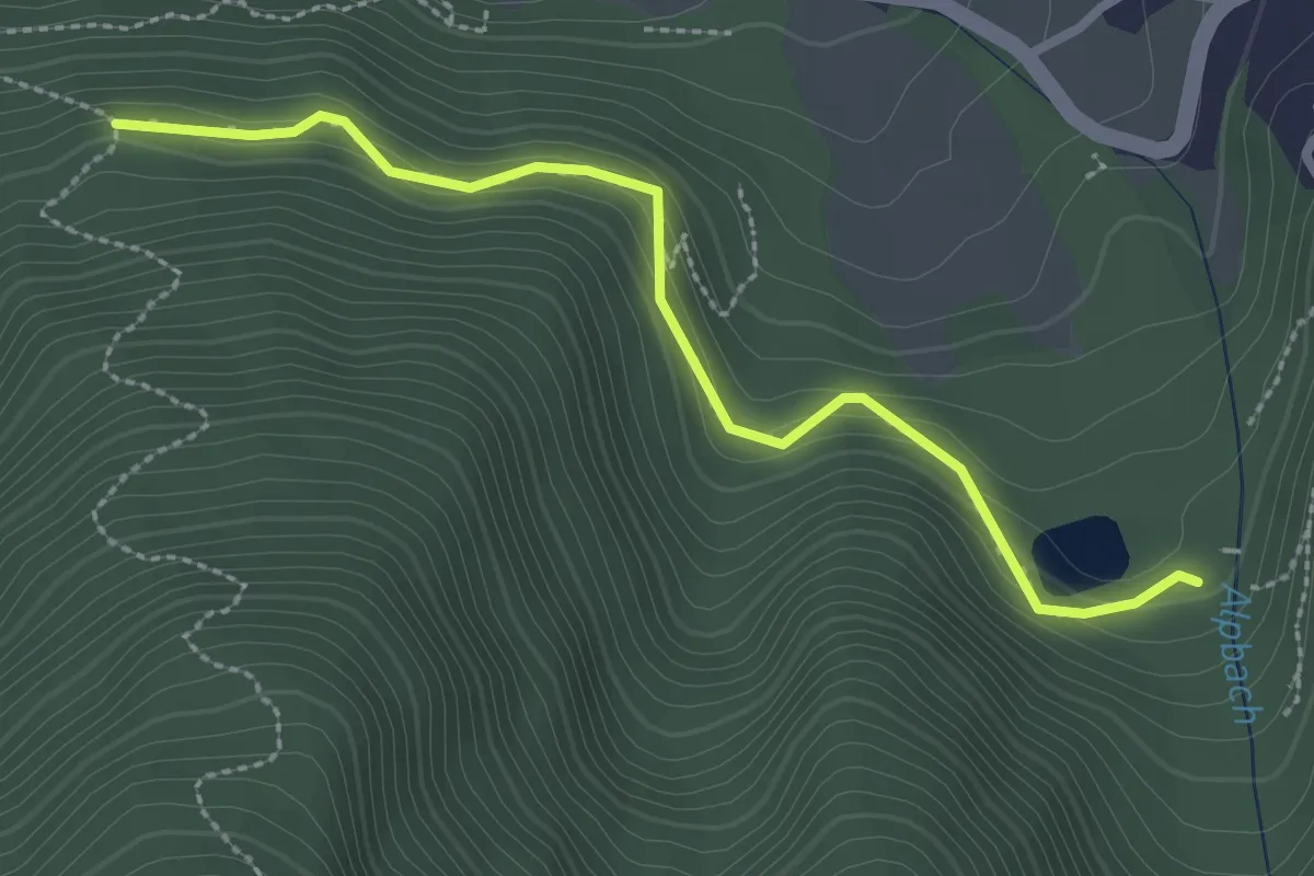
Easy · Trail
18A
2.7 km · ↑ 209 m · 1 h 6 min · 8 km away
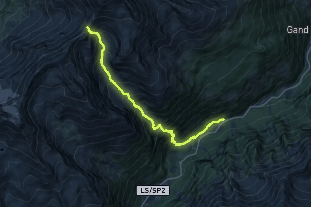
Demanding · Trail
34
11.9 km · ↑ 1426 m · 5 h 53 min · 10 km away
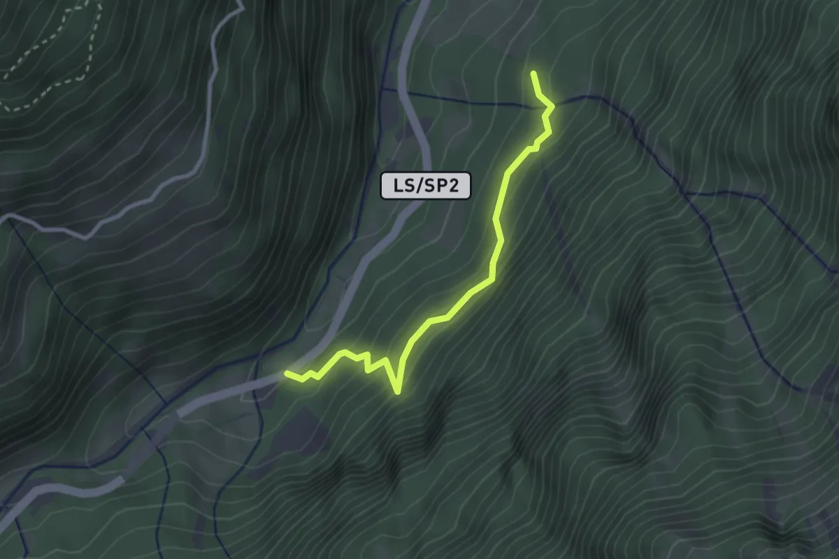
Easy · Trail
Soywaalweg
2.6 km · ↑ 257 m · 1 h 11 min · 10 km away
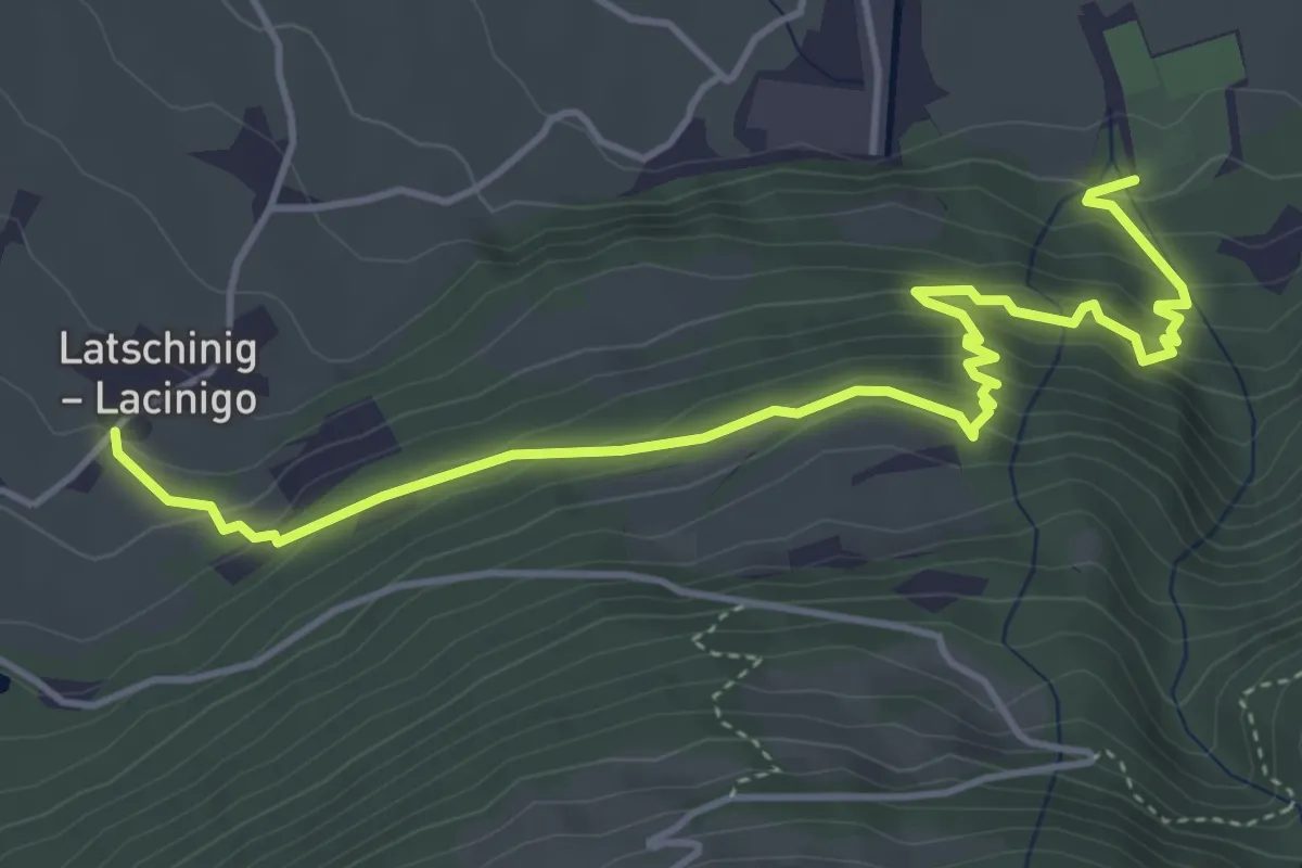
Medium · Trail
Kalkofenweg
5.3 km · ↑ 453 m · 2 h 14 min · 10 km away
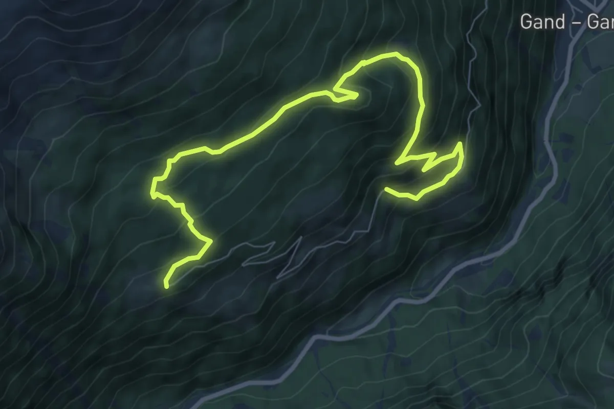
Medium · Trail
Waldbergbauer-Weg - Sentiero del contadino di montagna
4.9 km · ↑ 230 m · 1 h 50 min · 10 km away
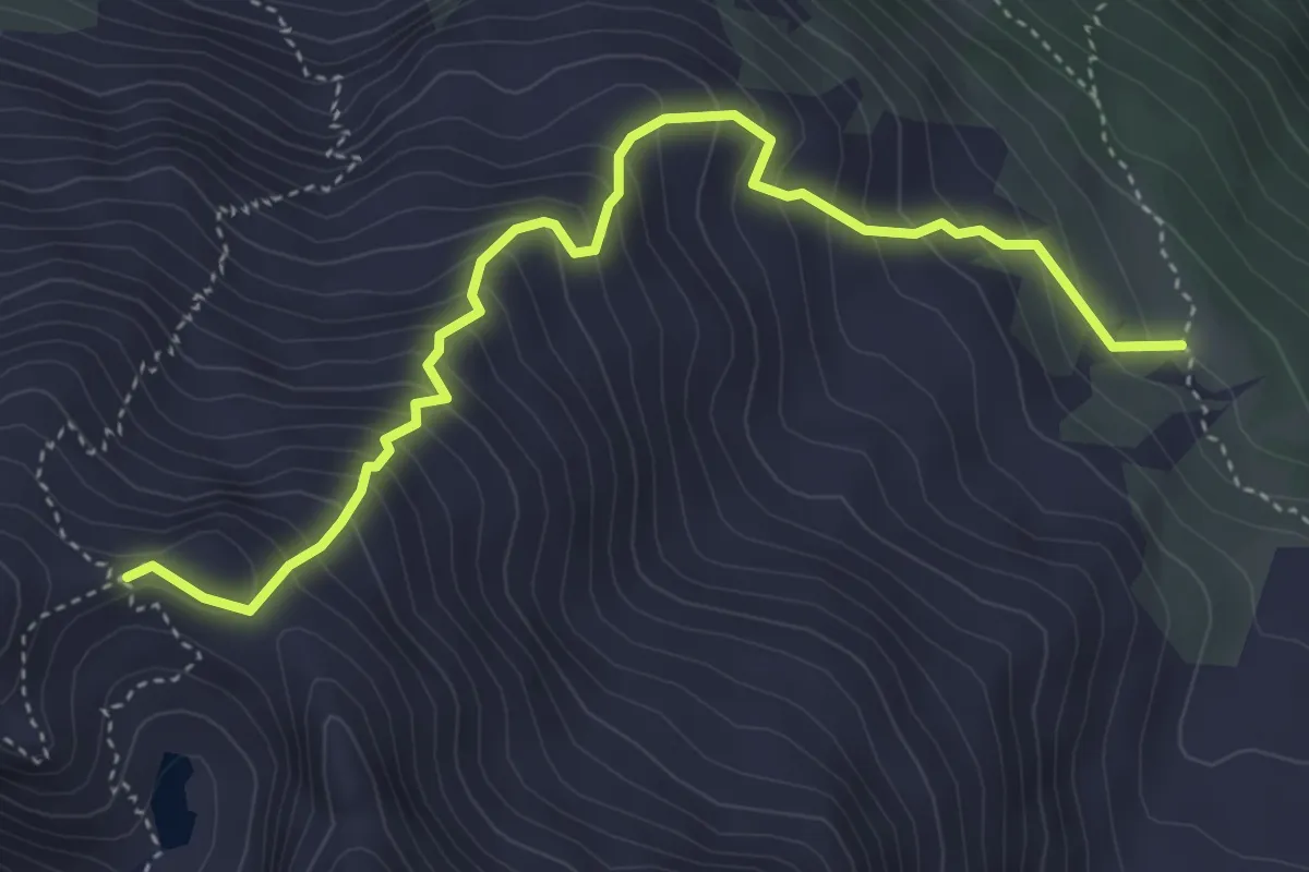
Medium · Trail
6
4.6 km · ↑ 538 m · 2 h 15 min · 10 km away
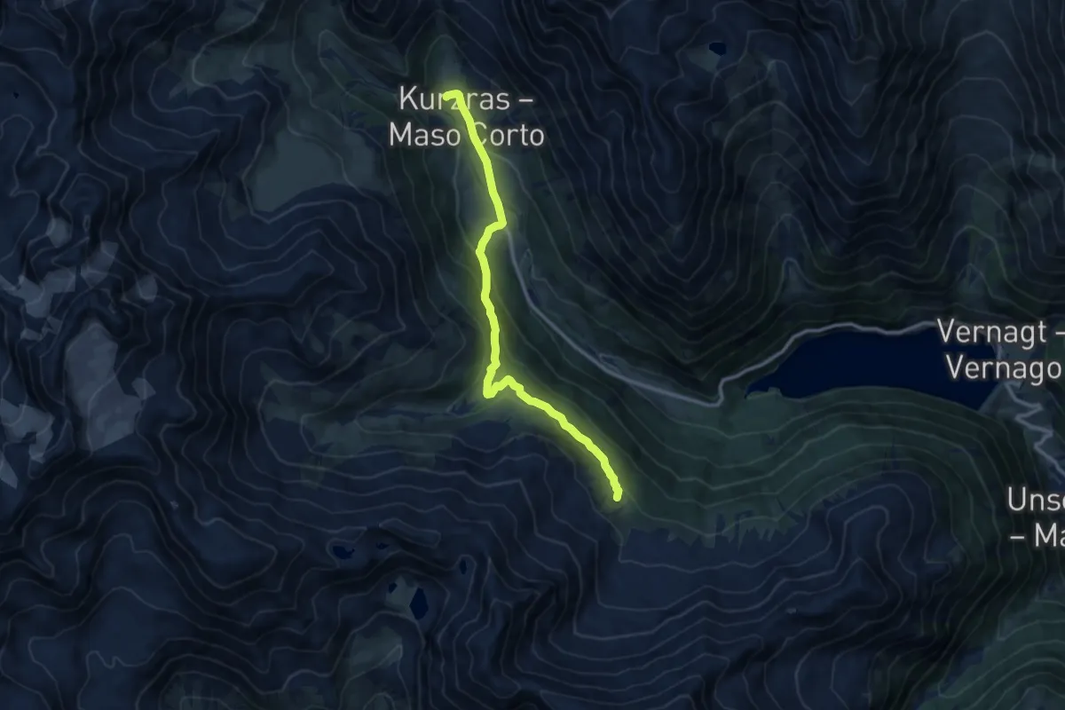
Medium · Trail
5
10.2 km · ↑ 450 m · 3 h 24 min · 11 km away
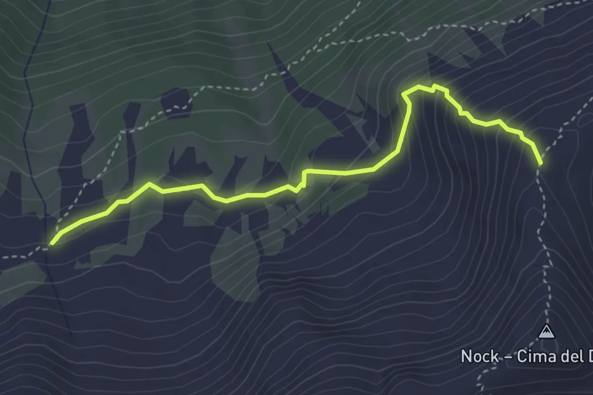
Medium · Trail
17B
3.6 km · ↑ 317 m · 1 h 32 min · 11 km away
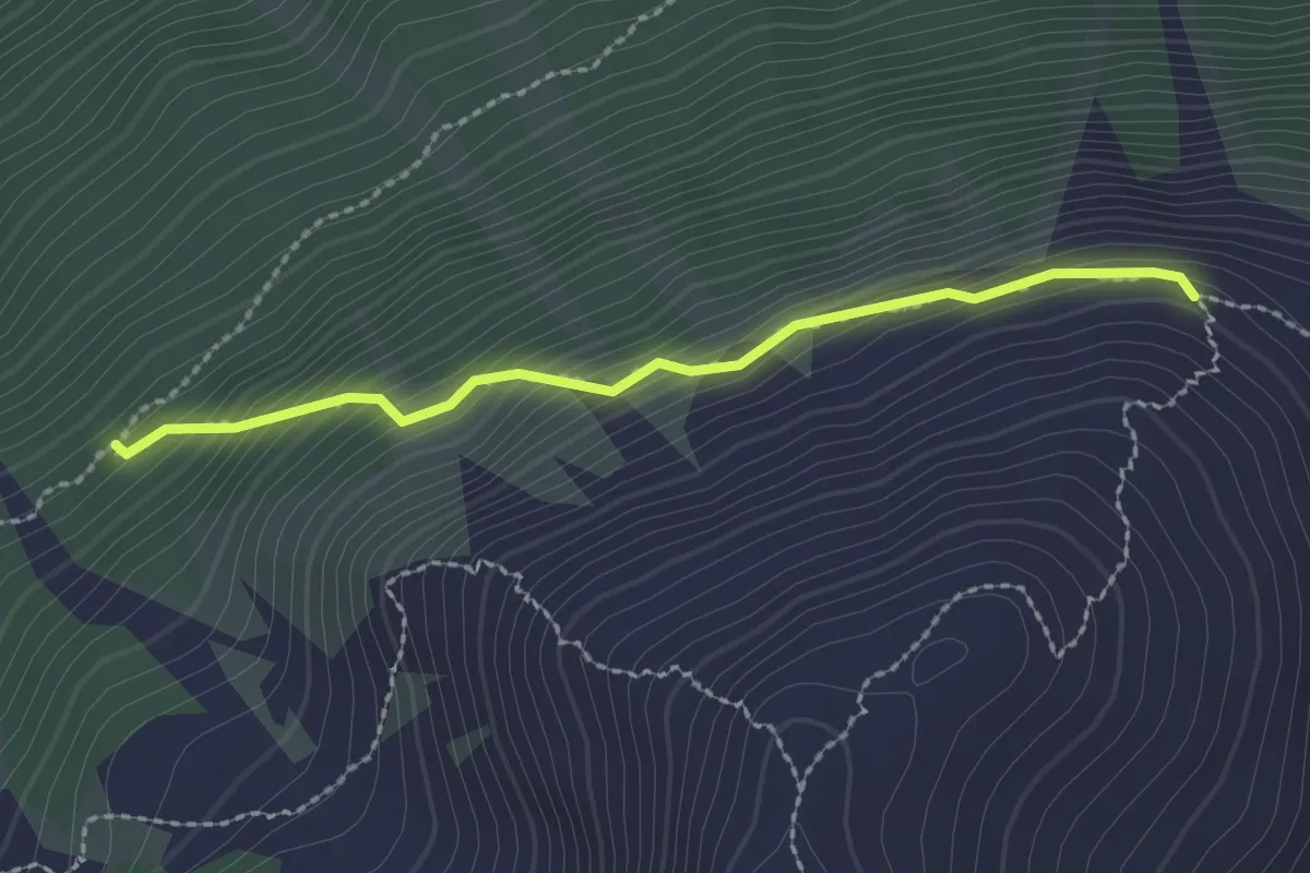
Easy · Trail
16
2.1 km · ↑ 235 m · 1 h 1 min · 12 km away
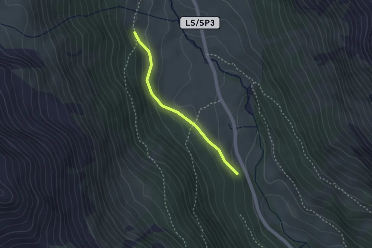
Easy · Trail
13A
2.3 km · ↑ 112 m · 48 min · 13 km away
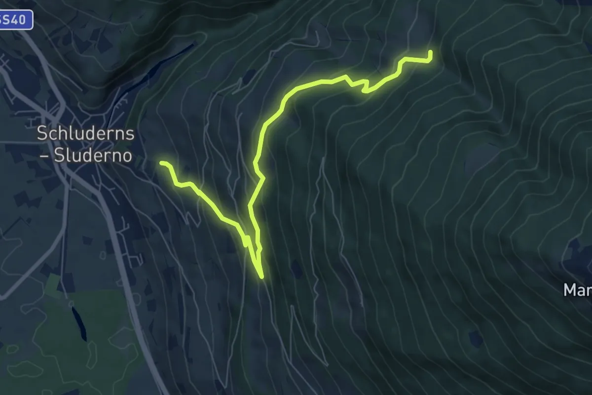
Medium · Trail
21
7.8 km · ↑ 567 m · 3 h 4 min · 13 km away
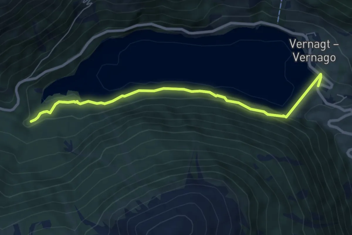
Medium · Trail
Seerundweg
3.1 km · ↑ 136 m · 1 h 2 min · 13 km away
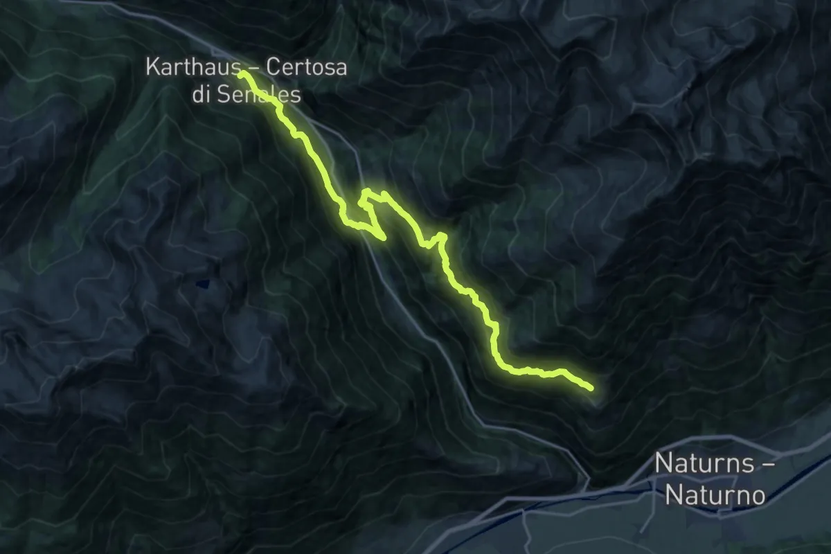
Demanding · Trail
Via Alpina Yellow B30
10.7 km · ↑ 903 m · 4 h 34 min · 13 km away
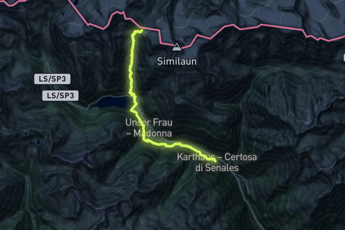
Demanding · Cabin
Via Alpina Yellow B31
13.5 km · ↑ 1996 m · 6 h 51 min · 13 km away
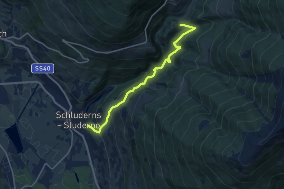
Medium · Trail
20
8.6 km · ↑ 726 m · 3 h 37 min · 14 km away
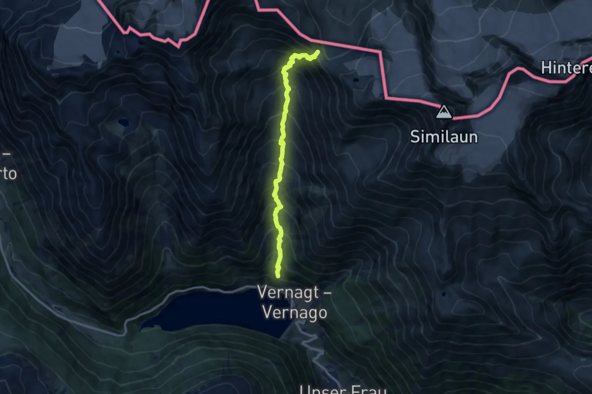
Demanding · Cabin
Vernagt – Similaunhutte
9.4 km · ↑ 1194 m · 4 h 48 min · 14 km away
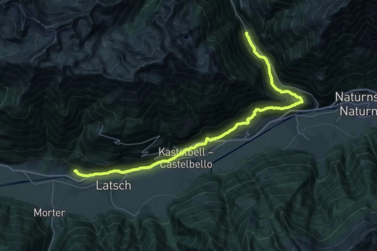
Medium · Trail
Tiss – Alt Rateis
16.4 km · ↑ 604 m · 5 h 31 min · 14 km away
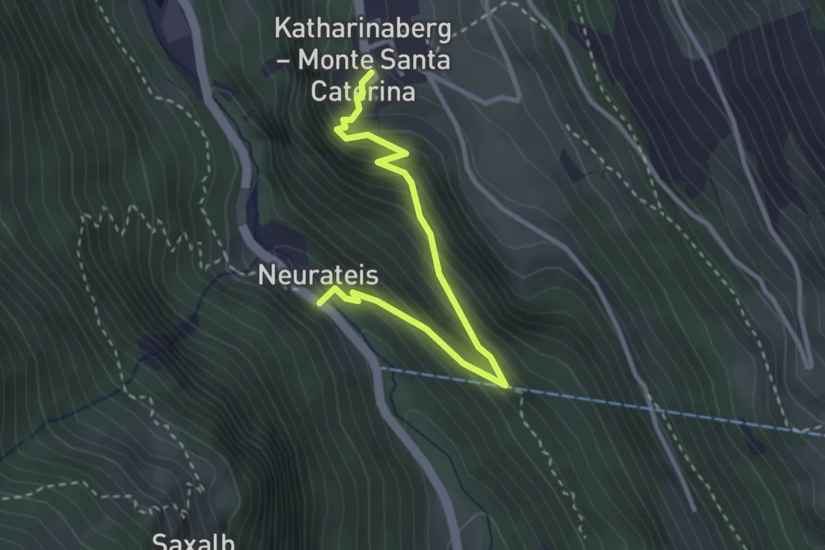
Medium · Trail
Neuratheis – Katharinaberg
2.9 km · ↑ 305 m · 1 h 21 min · 14 km away
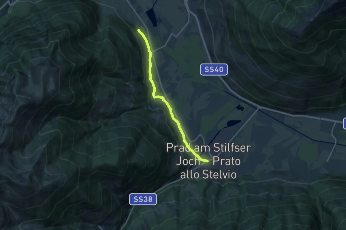
Medium · Trail
Jakobsweg
11.0 km · ↑ 137 m · 2 h 54 min · 14 km away
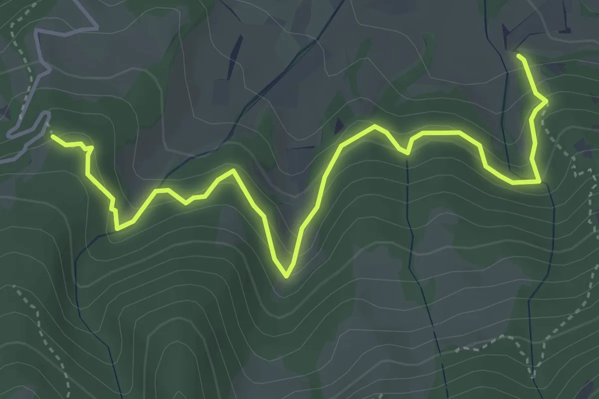
Medium · Trail
Naturlehrpfad
4.7 km · ↑ 454 m · 2 h 6 min · 14 km away
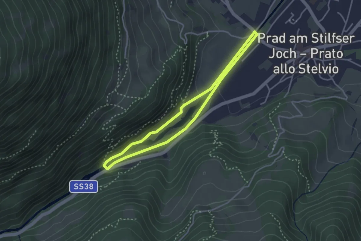
Easy · Trail
Suldenbachweg
2.8 km · ↑ 55 m · 49 min · 14 km away
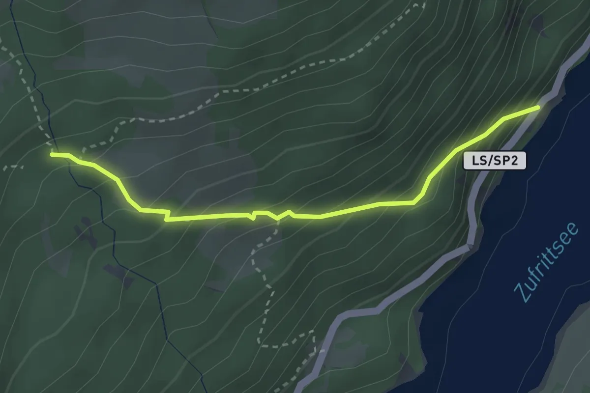
Medium · Cabin
6
2.7 km · ↑ 285 m · 1 h 16 min · 14 km away
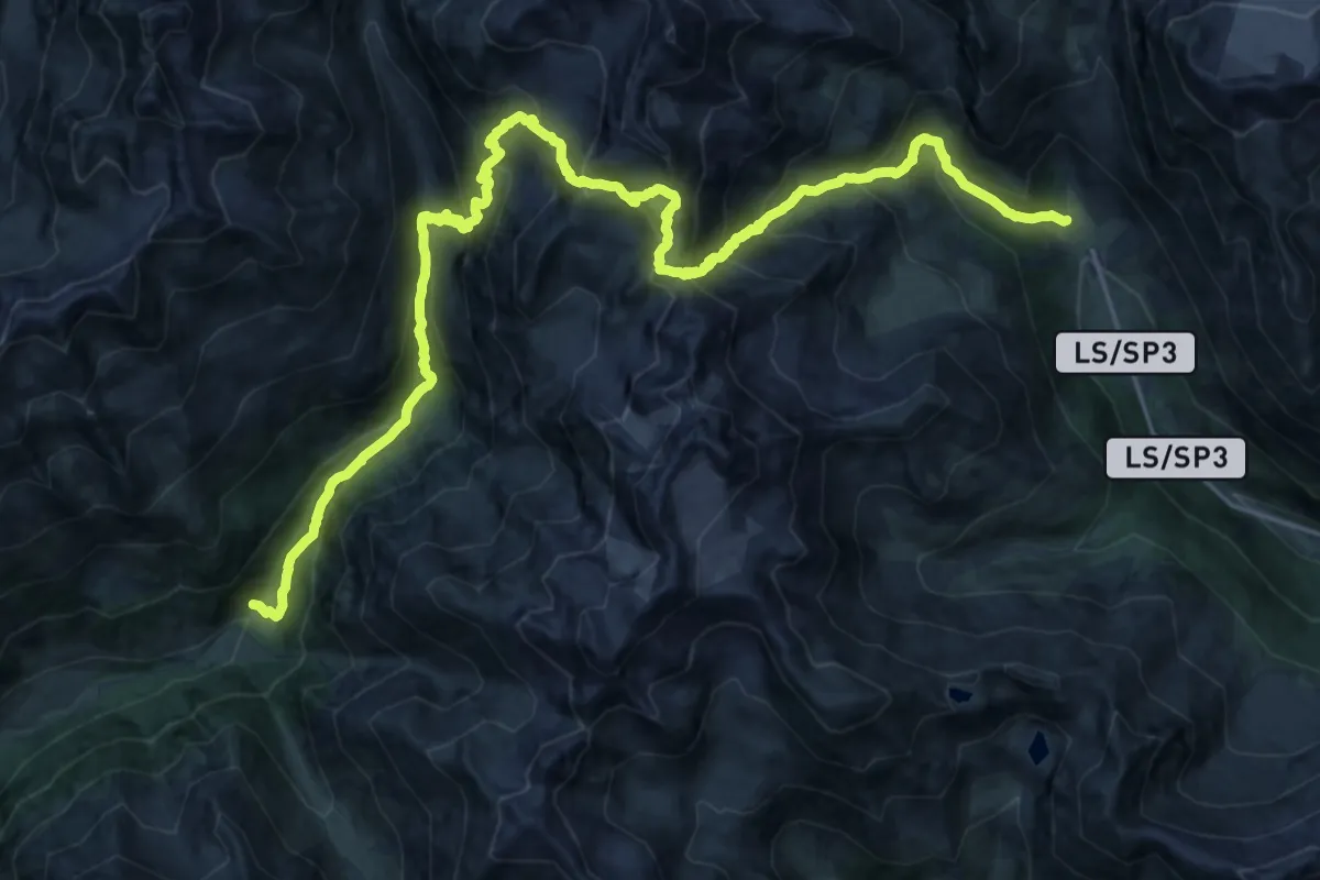
Demanding · Trail
Matsch – Kurzras
15.0 km · ↑ 1139 m · 6 h 19 min · 14 km away
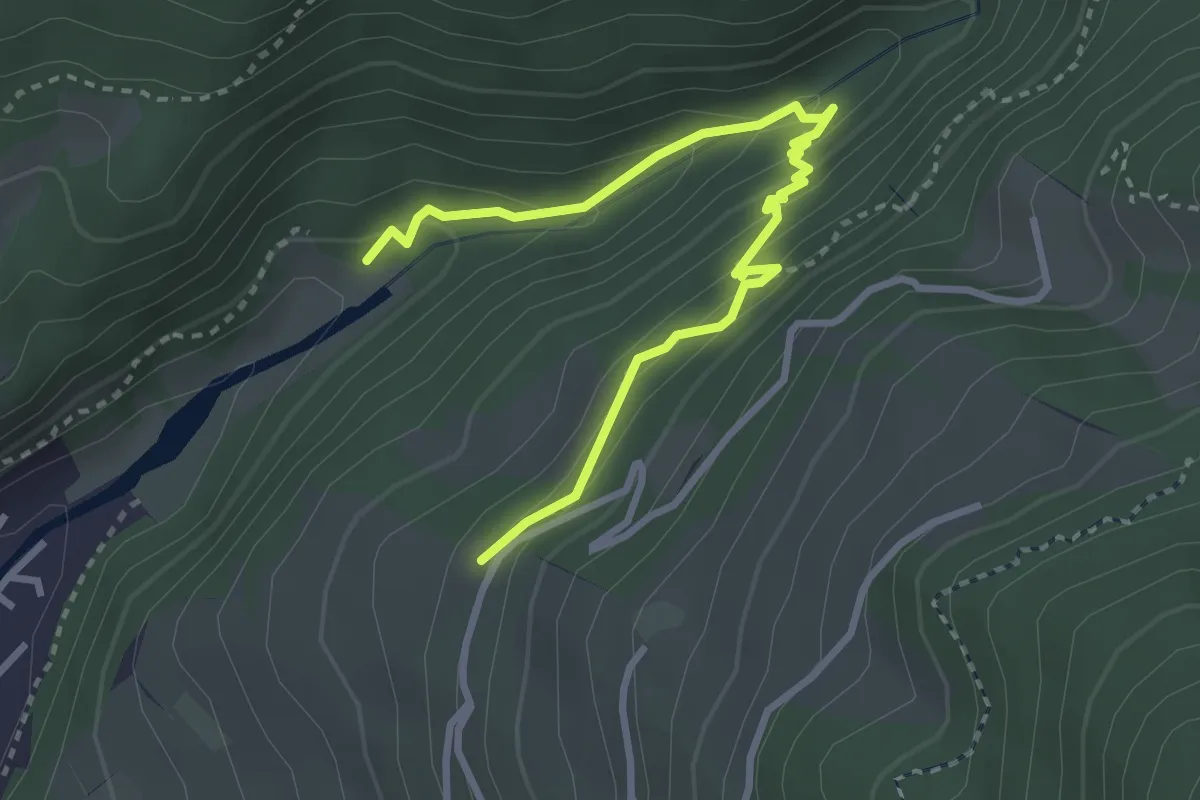
Medium · Trail
18B
3.5 km · ↑ 269 m · 1 h 25 min · 14 km away
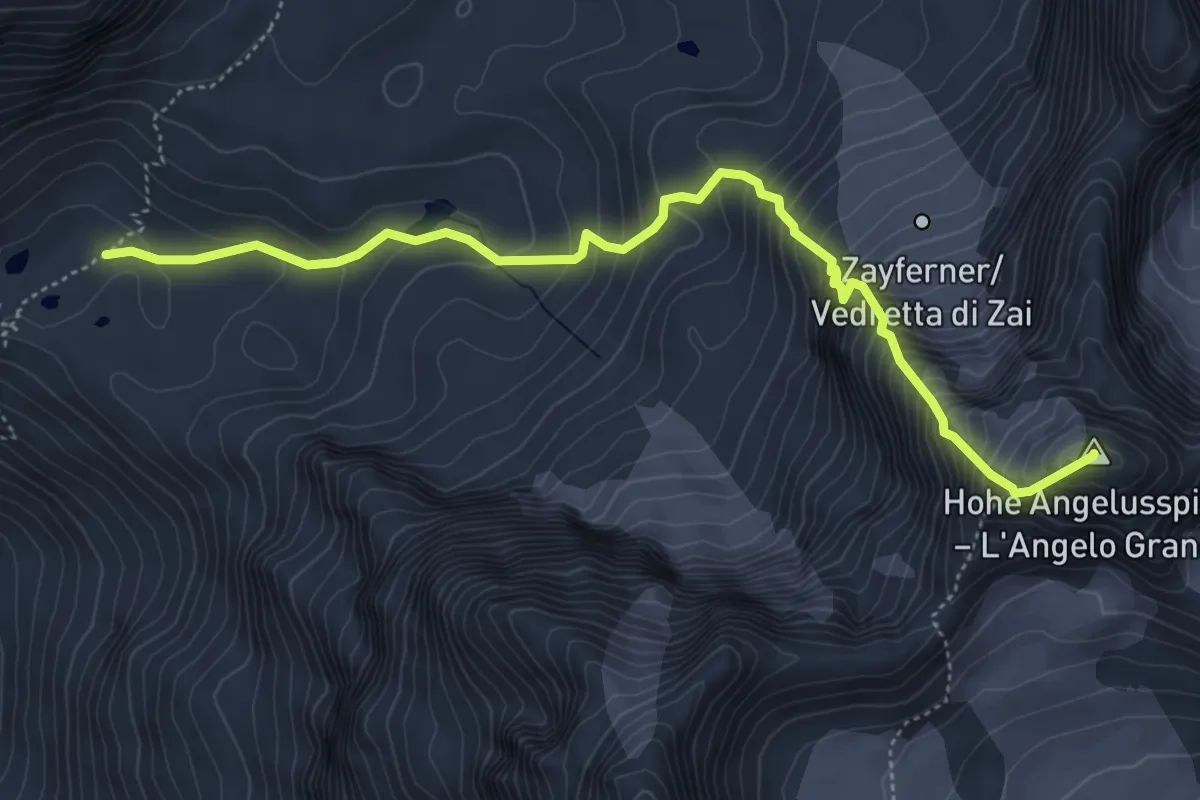
Expert · Summit
Reinstadlerroute
5.6 km · ↑ 746 m · 2 h 57 min · 15 km away
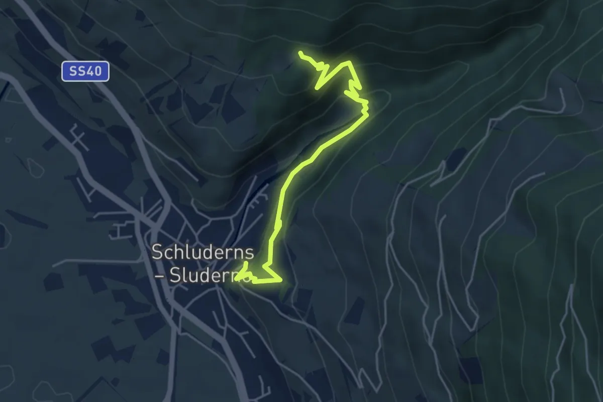
Easy · Trail
18A
4.6 km · ↑ 296 m · 1 h 43 min · 15 km away
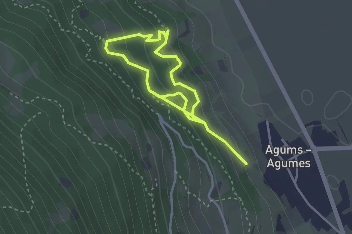
Medium · Trail
Waldtierpfad Gumperle
4.1 km · ↑ 547 m · 2 h 10 min · 15 km away
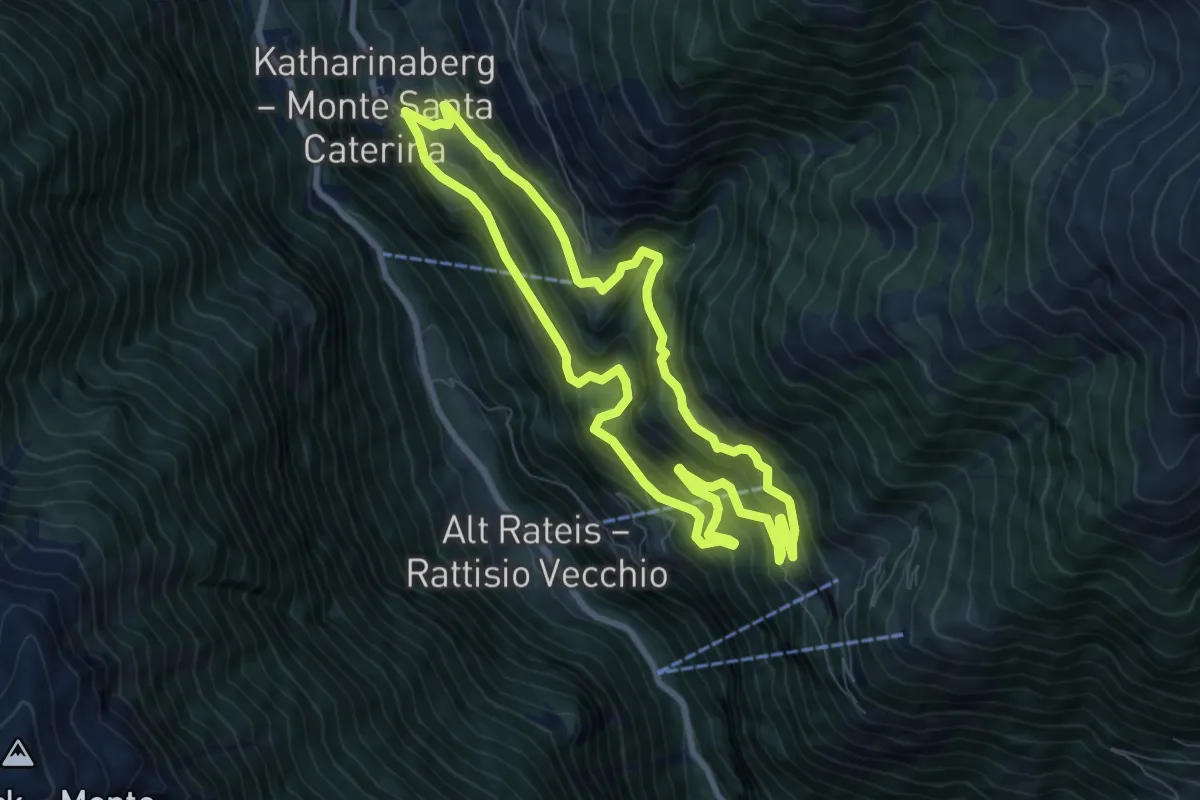
Demanding · Trail
Rundweg Katharinaberg
7.8 km · ↑ 667 m · 3 h 24 min · 15 km away