Trails near Seriate
125 hikes starting within 15 km, nearest first.
Nearest first, page 2 of 3
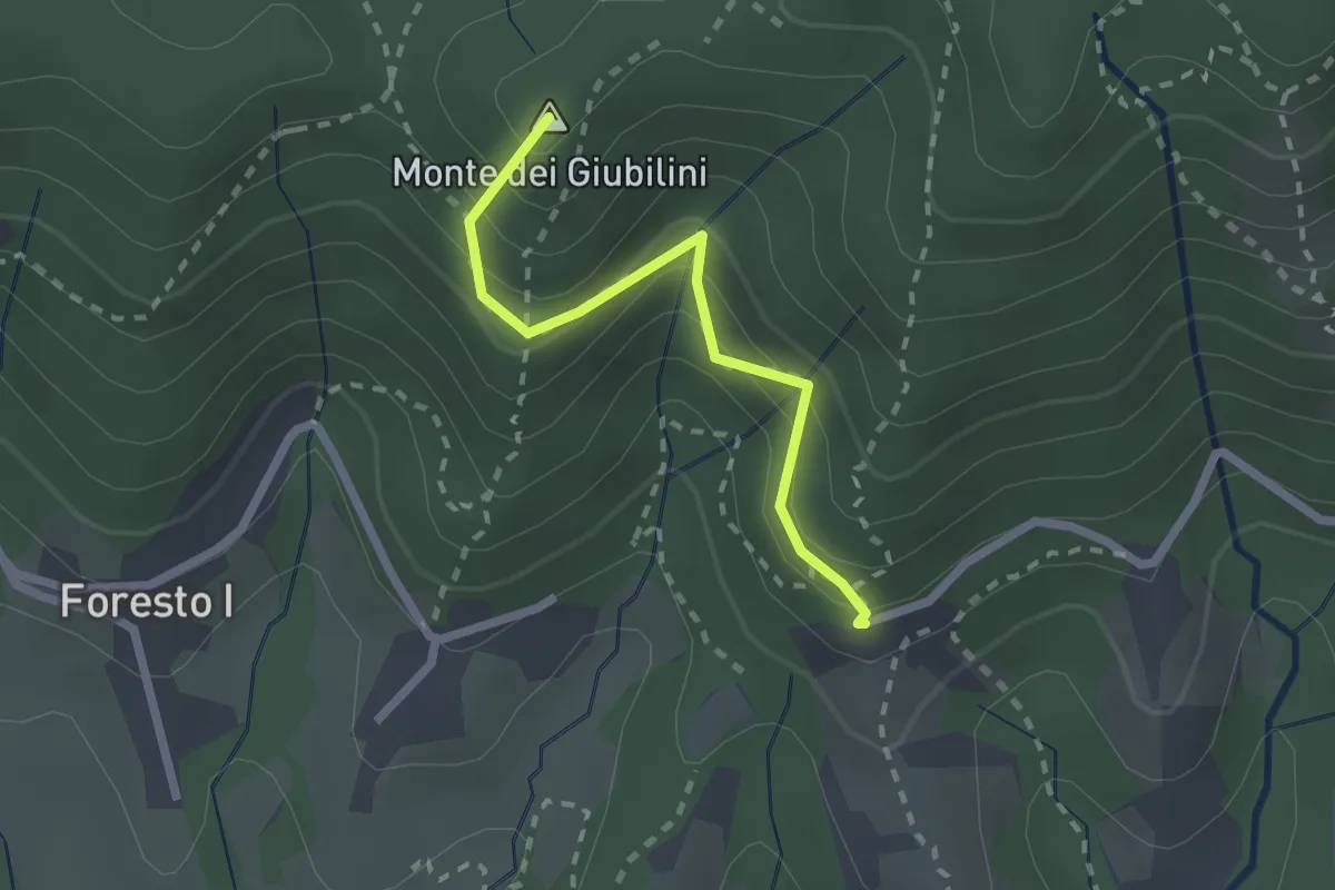
Easy · Summit
Boscalgisi – Zappel d'Erba
2.1 km · ↑ 212 m · 58 min · 9 km away
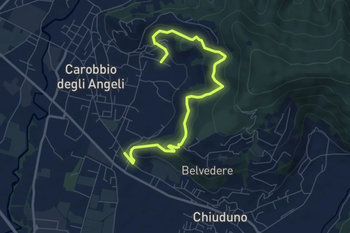
Medium · Trail
Cicola – Santo Stefano
7.8 km · ↑ 443 m · 2 h 49 min · 10 km away
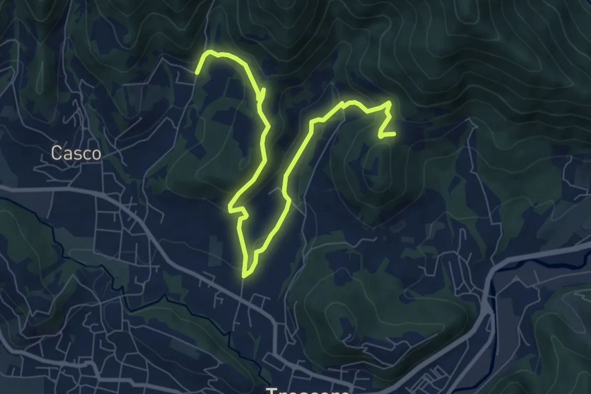
Medium · Trail
S. Ambrogio (Cenate Sopra) – Madonna del Mirabile (Luzzana)
9.2 km · ↑ 355 m · 2 h 56 min · 10 km away
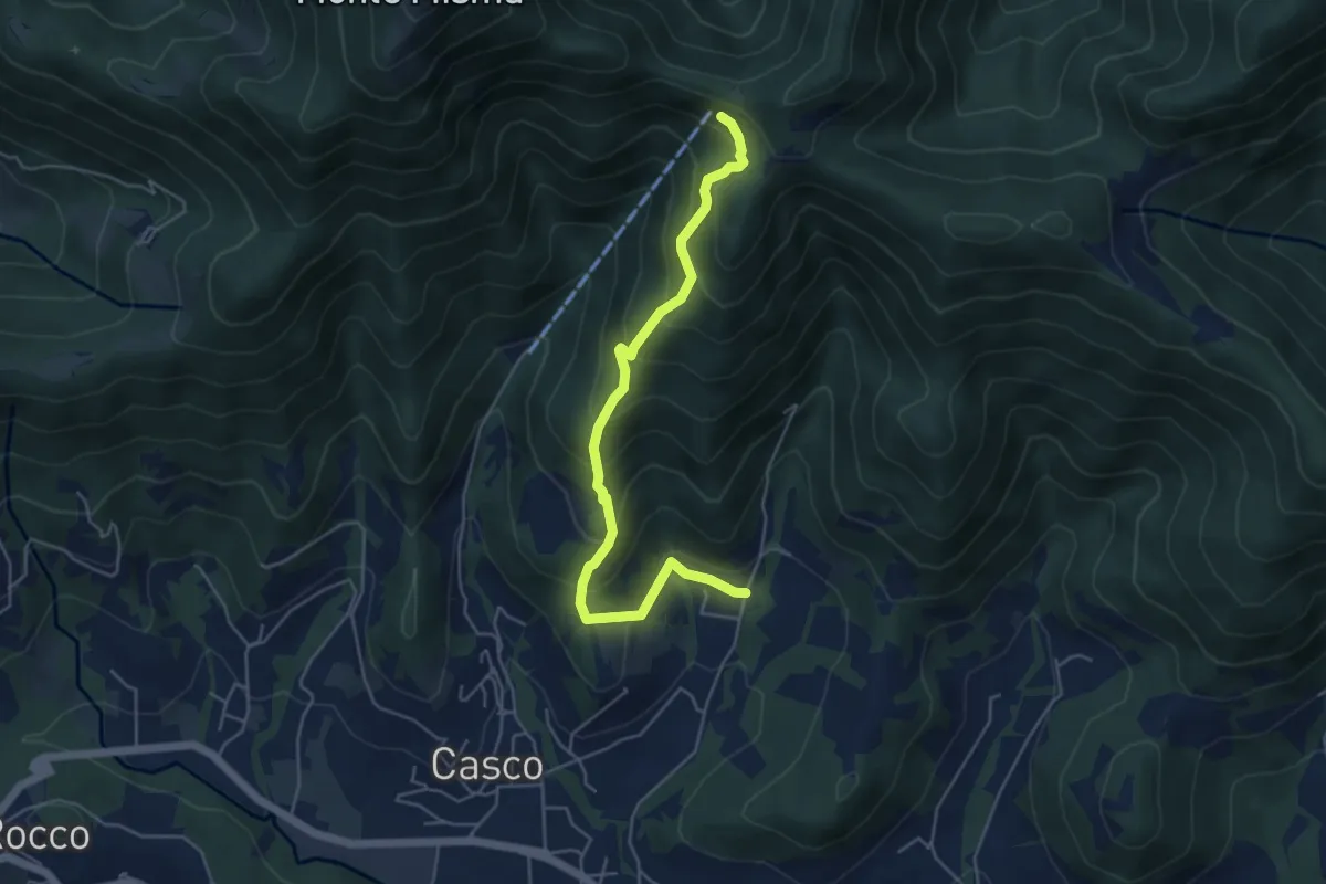
Medium · Cabin
S. Ambrogio (Cenate Sopra) – S. Maria del Misma
5.3 km · ↑ 477 m · 2 h 17 min · 10 km away
Demanding · Trail
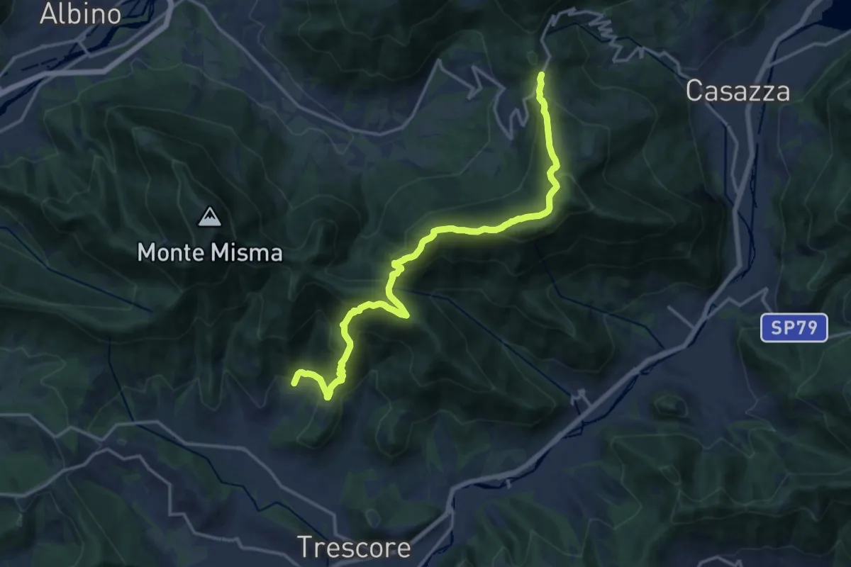
S. Ambrogio (Cenate Sopra) – Colle Gallo
16.1 km · ↑ 1017 m · 6 h 1 min · 10 km away
Easy · Summit
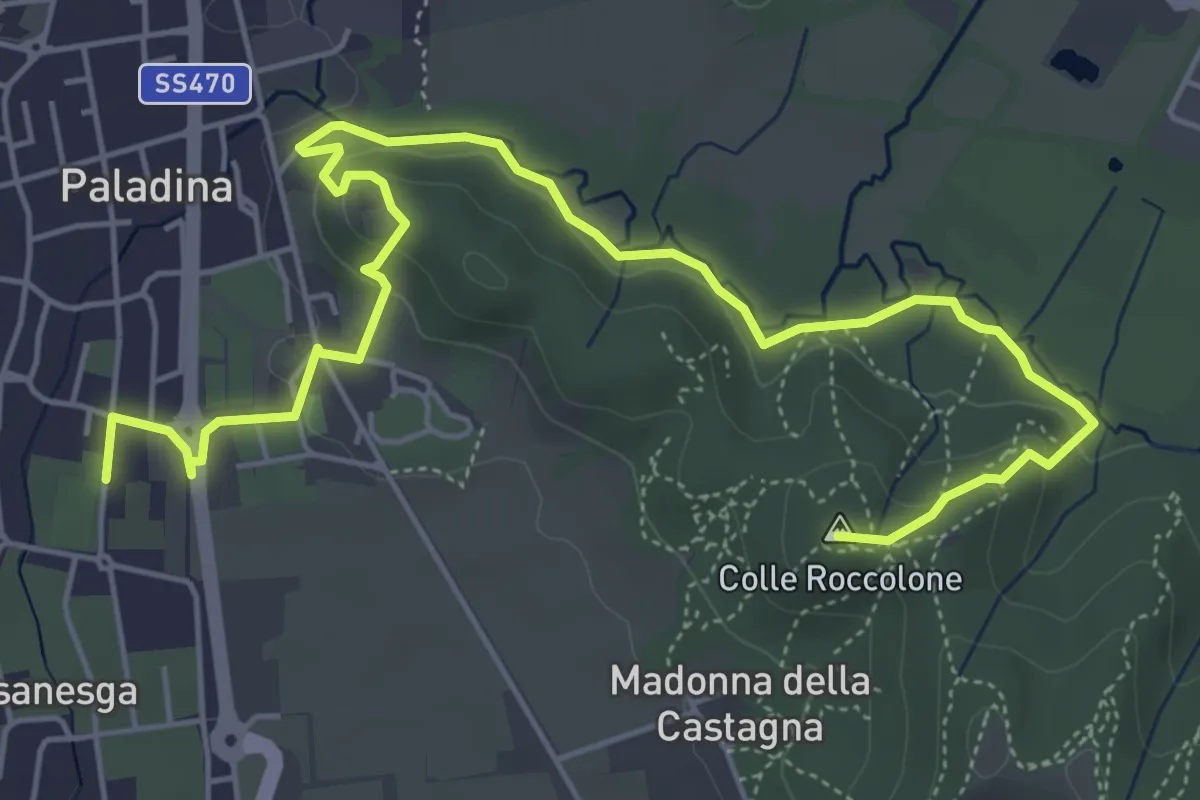
Il Sentiero di Ilaria
7.2 km · ↑ 194 m · 2 h 8 min · 10 km away
Medium · Summit
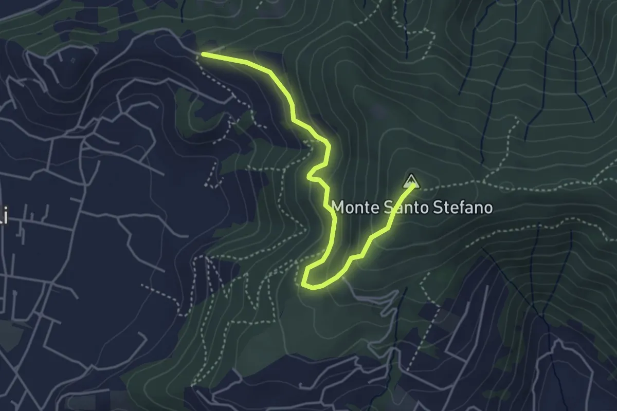
Duria – Boca di senter
4.3 km · ↑ 266 m · 1 h 35 min · 10 km away
Medium · Summit
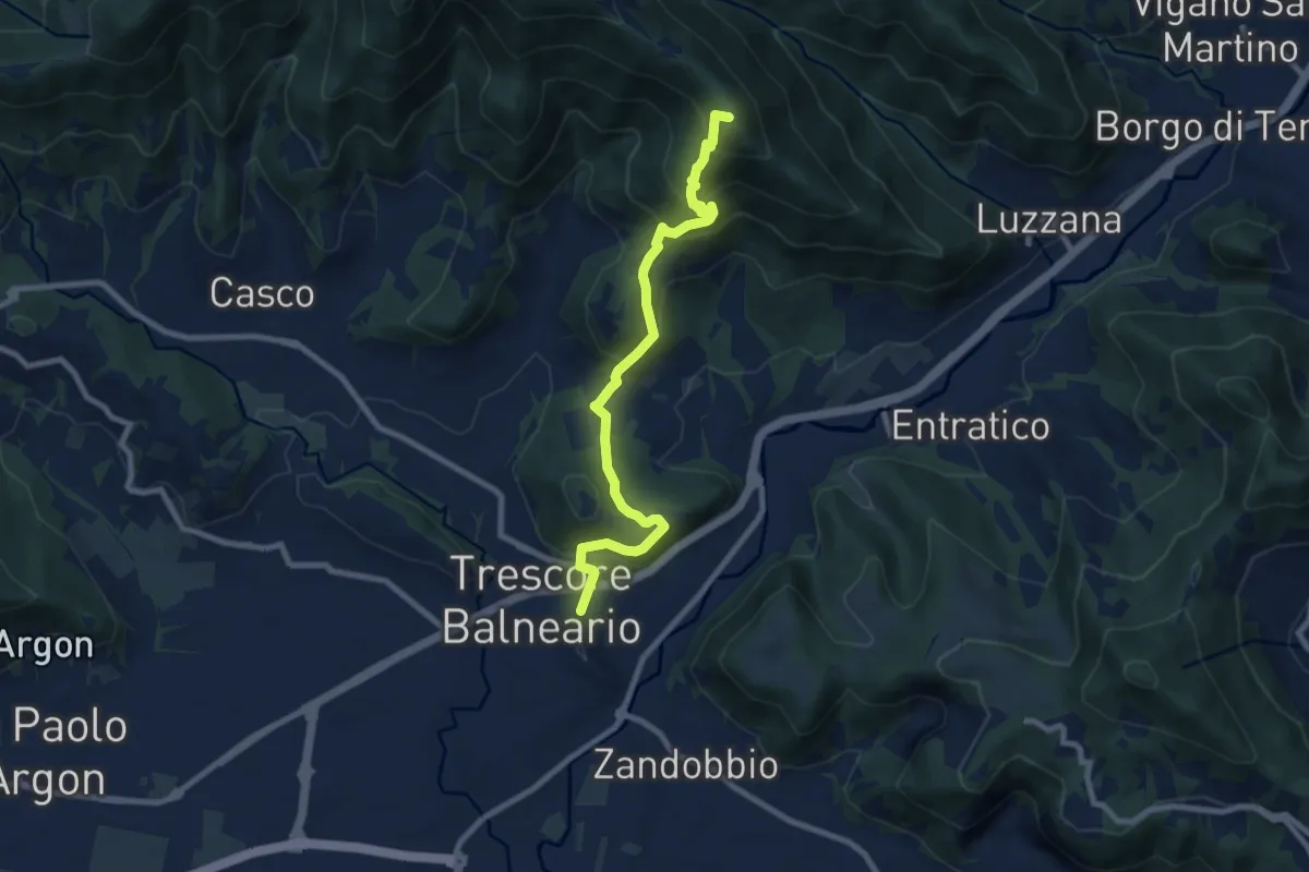
Trescore Balneario – Pizzo Casgnola
8.8 km · ↑ 574 m · 3 h 19 min · 10 km away
Easy · Trail
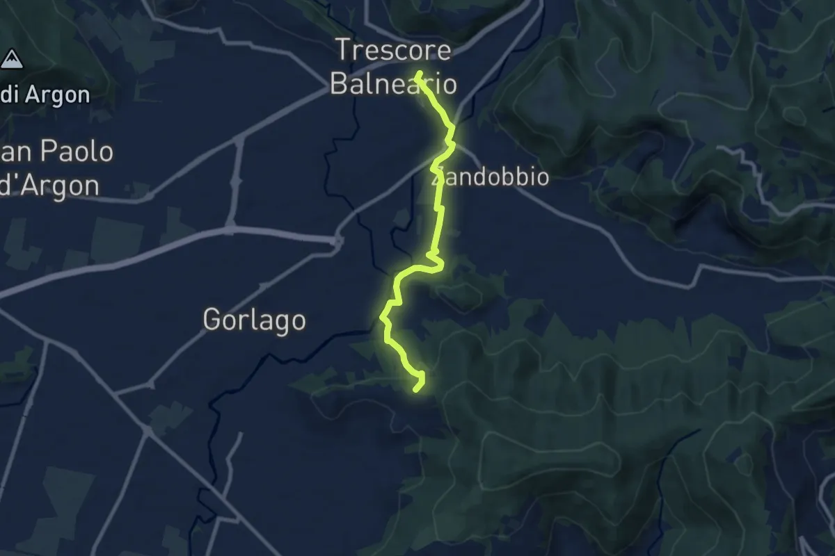
Trescore Balneario – Carobbio degli Angeli (incrocio 650)
7.6 km · ↑ 174 m · 2 h 10 min · 10 km away
Medium · Summit
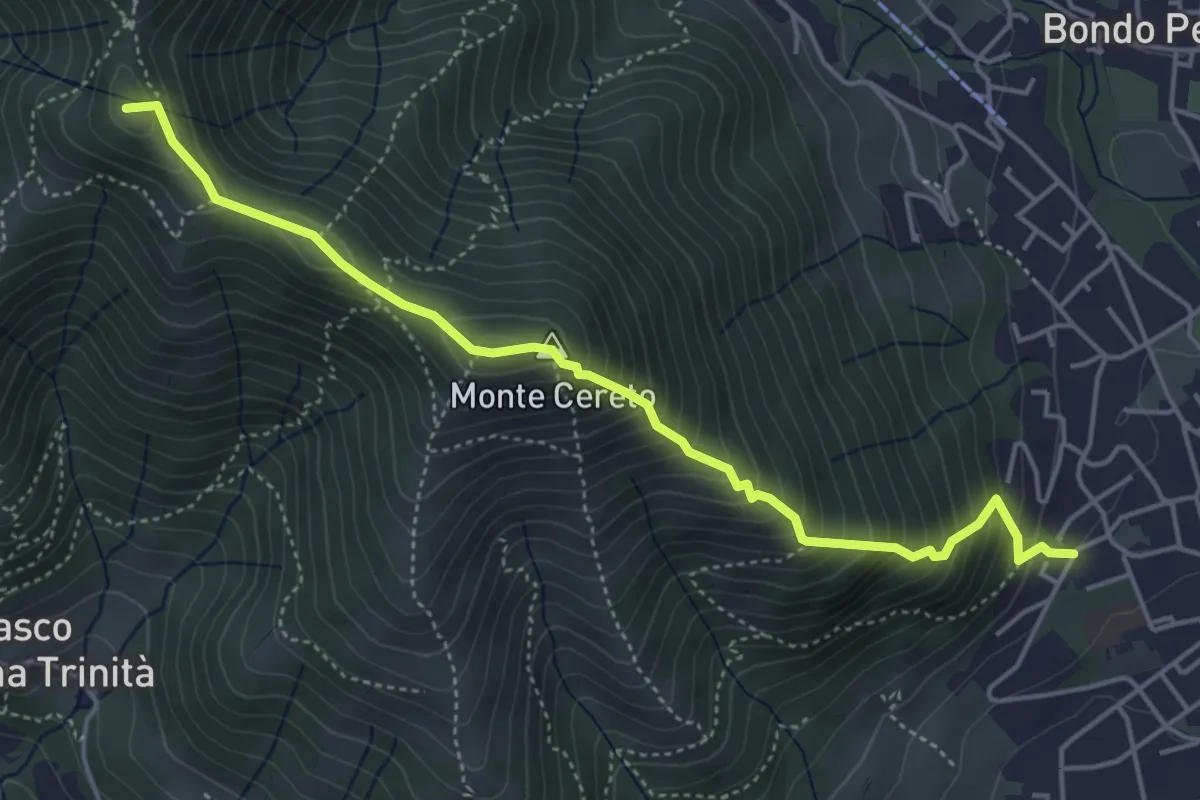
Albino – Selvino (Masu)
5.0 km · ↑ 625 m · 2 h 32 min · 10 km away
Medium · Trail
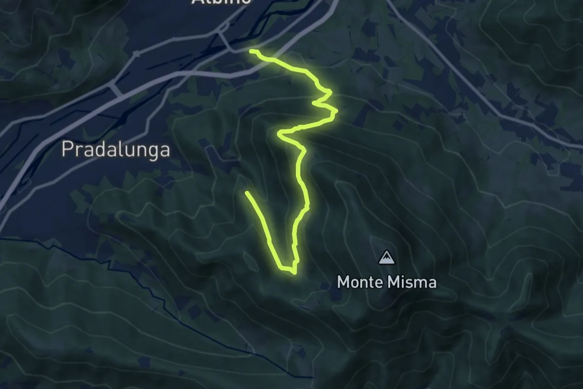
Albino – Forcella di Pradalunga
9.4 km · ↑ 747 m · 3 h 51 min · 10 km away
Medium · Cabin
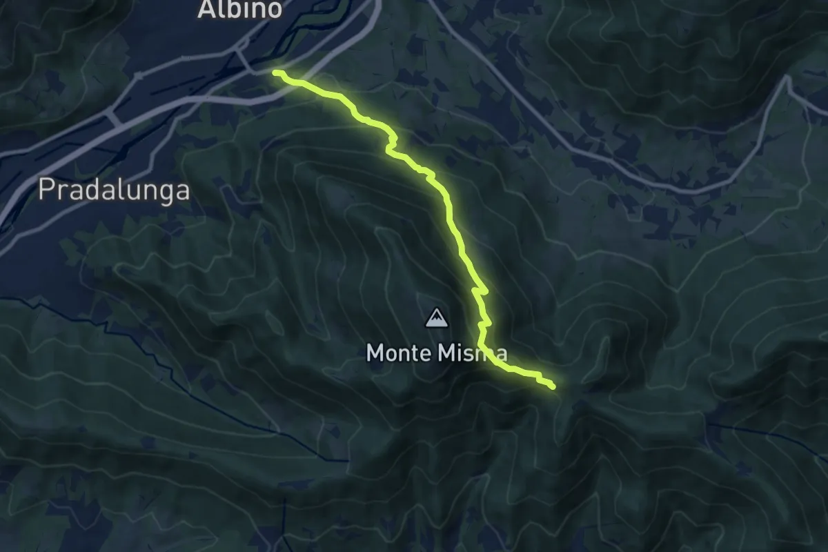
Albino – S. Maria del Misma
8.8 km · ↑ 773 m · 3 h 45 min · 10 km away
Medium · Summit
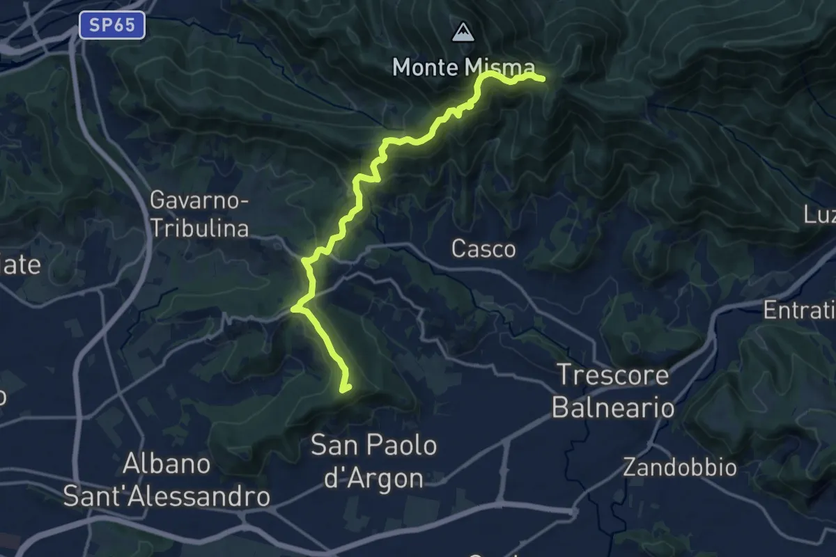
Albano S.A. – S. Maria del Misma
14.4 km · ↑ 770 m · 5 h 5 min · 10 km away
Medium · Summit
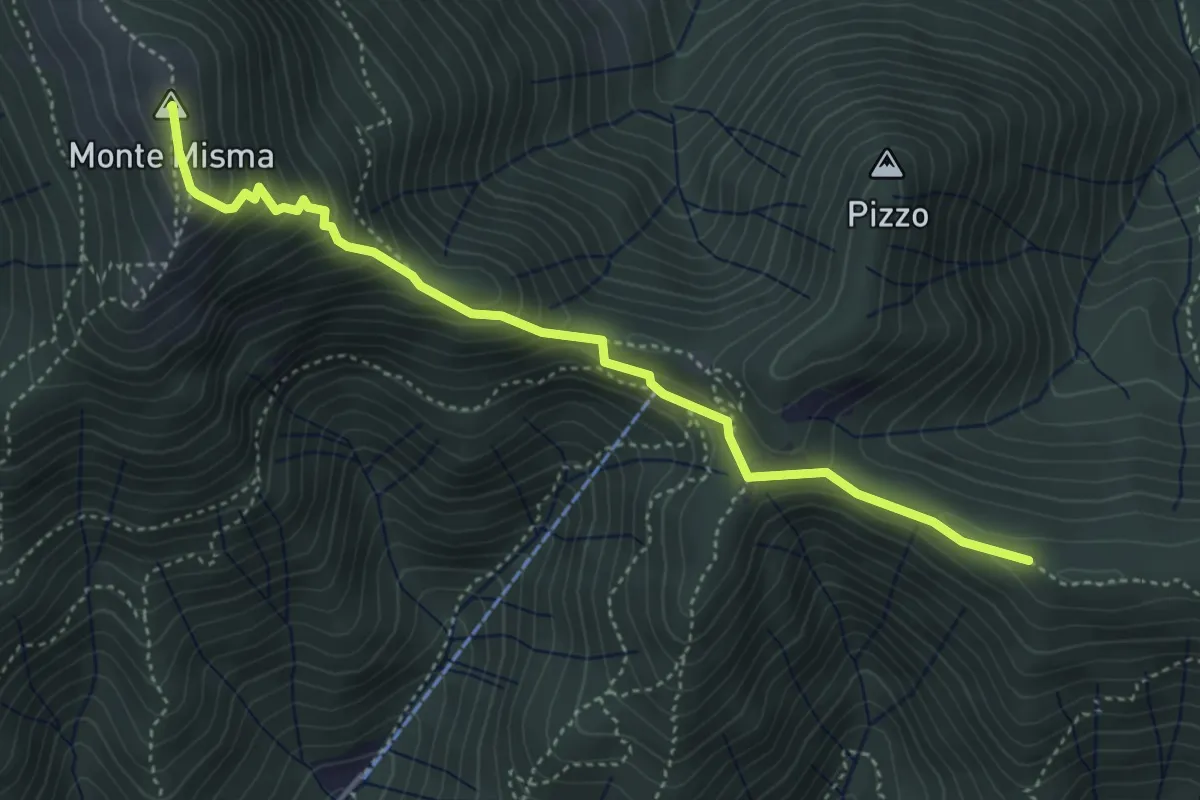
Bivio Corna Clima (Luzzana) – Monte Misma
4.5 km · ↑ 378 m · 1 h 53 min · 11 km away
Easy · Trail
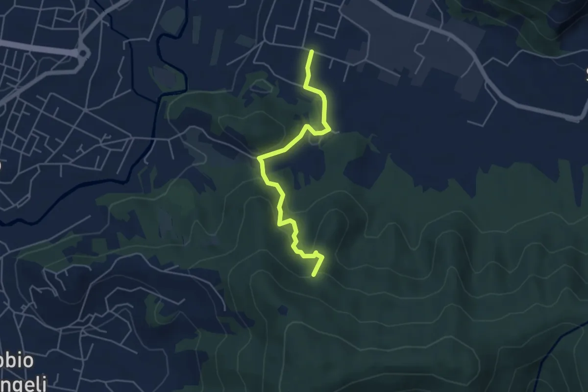
Zandobbio – Incrocio 650
4.4 km · ↑ 193 m · 1 h 27 min · 11 km away
Demanding · Summit
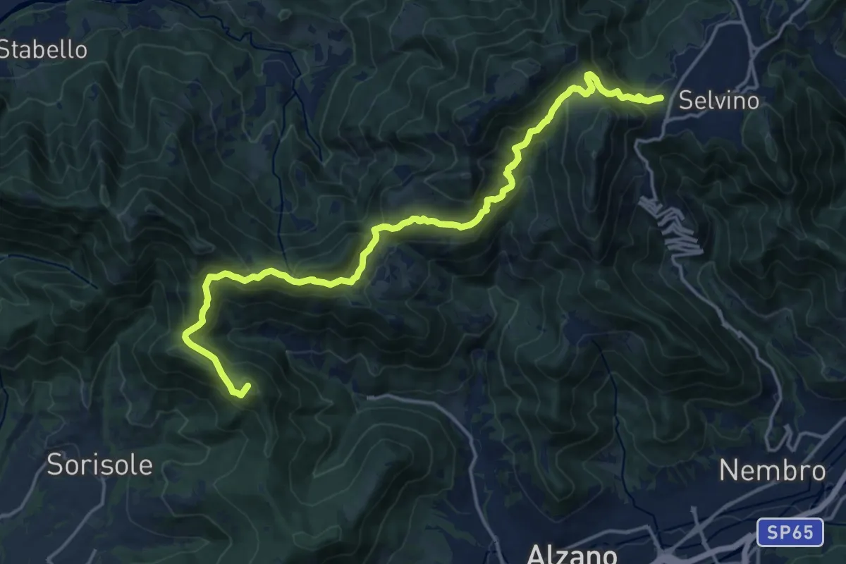
Bergamo (Monterosso) – Selvino
18.3 km · ↑ 1015 m · 6 h 32 min · 11 km away
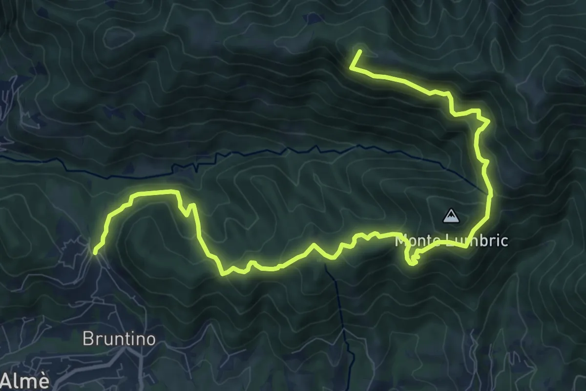
Demanding · Summit
Bruntino Alto – Prati Parini
13.4 km · ↑ 1072 m · 5 h 30 min · 11 km away
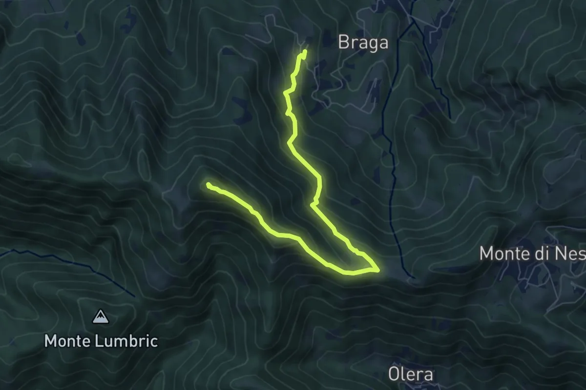
Medium · Summit
Cler (Sedrina) – Ripa (Poscante)
7.8 km · ↑ 573 m · 3 h 4 min · 11 km away
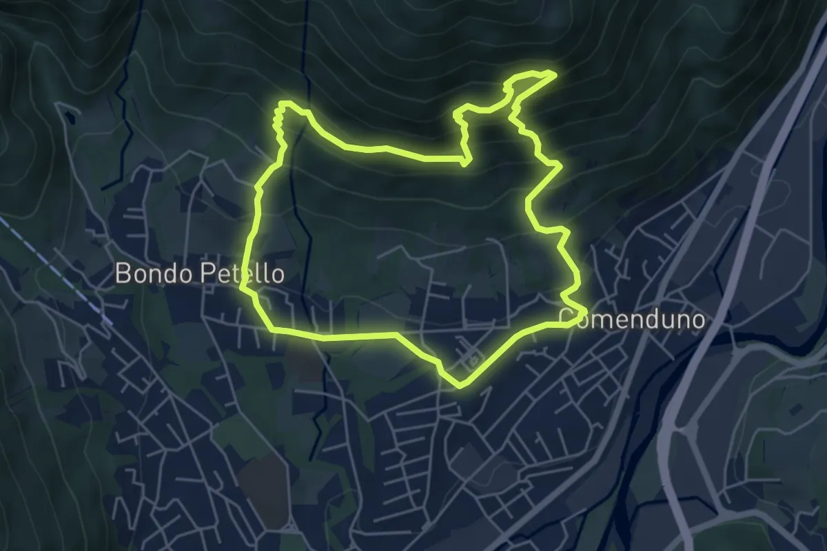
Demanding · Trail
Sentiero 1
5.2 km · ↑ 485 m · 2 h 21 min · 11 km away
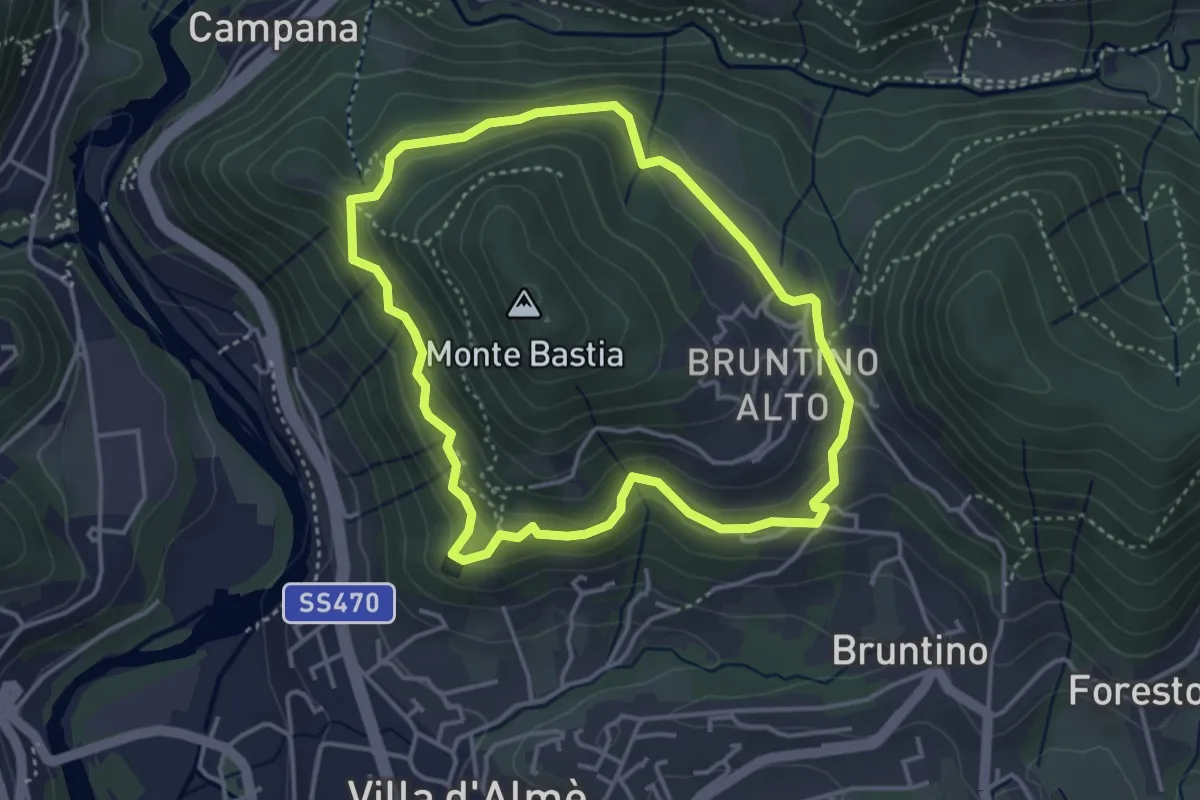
Medium · Trail
Giro del Monte Bastia
3.7 km · ↑ 174 m · 1 h 18 min · 11 km away
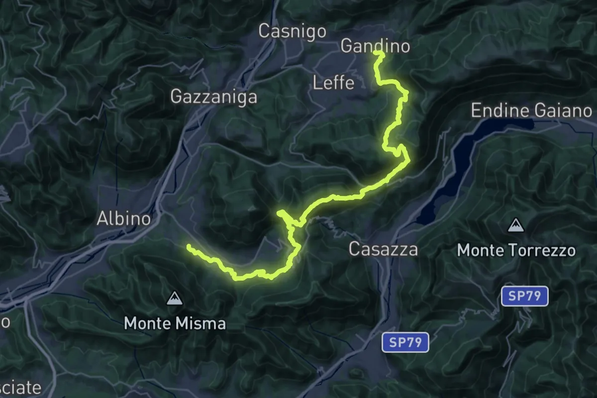
Demanding · Trail
Alta Via delle Grazie - Tappa 12
19.3 km · ↑ 1101 m · 7 h 8 min · 11 km away
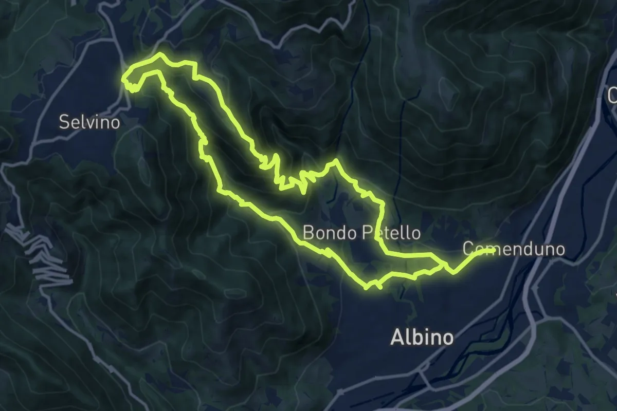
Medium · Summit
Sentiero 5
12.7 km · ↑ 702 m · 4 h 42 min · 11 km away
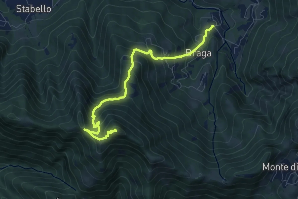
Medium · Summit
Poscante – Canto Alto
8.5 km · ↑ 775 m · 3 h 41 min · 11 km away
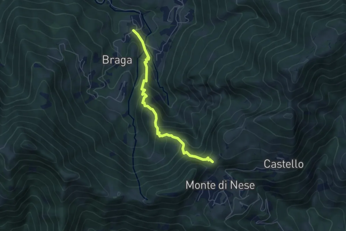
Medium · Trail
Poscante – Forcella di Monte di Nese
5.7 km · ↑ 465 m · 2 h 21 min · 11 km away
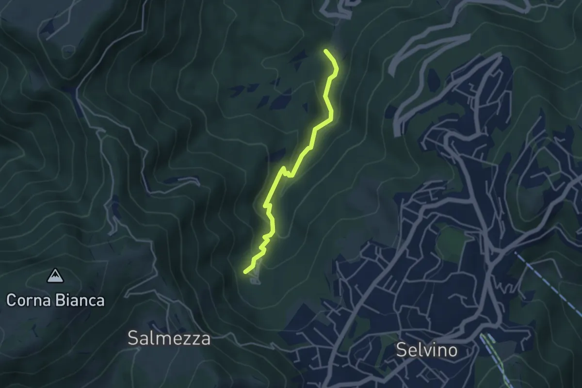
Medium · Trail
Rigosa (Loc. Fop) – Selvino (Sorgente Cantor)
3.4 km · ↑ 225 m · 1 h 18 min · 11 km away
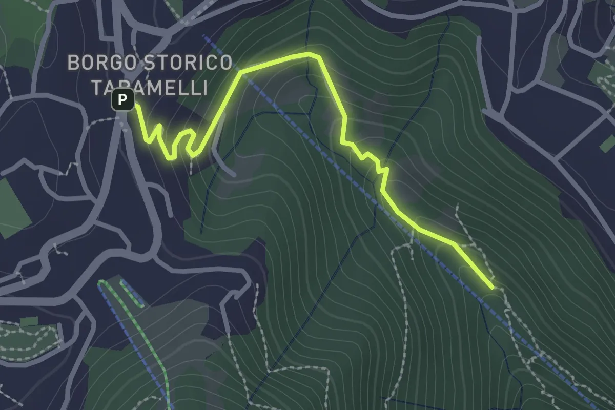
Easy · Trail
Incrocio 550 – Selvino
2.6 km · ↑ 160 m · 58 min · 12 km away
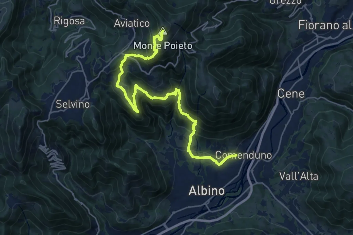
Demanding · Summit
Comenduno (Albino) – Monte Poieto
19.0 km · ↑ 1177 m · 7 h 3 min · 12 km away
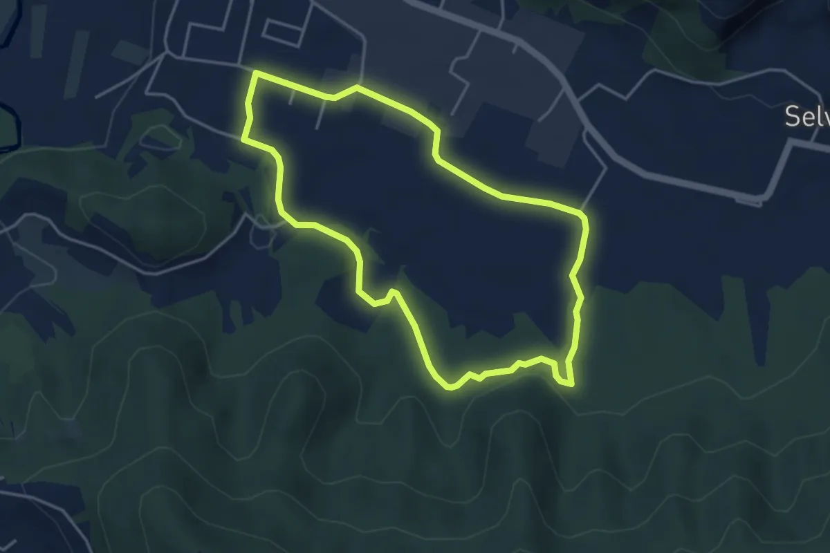
Easy · Trail
San Giorgio (Zandobbio) – San Giorgio (Zandobbio)
3.8 km · ↑ 48 m · 1 h 3 min · 12 km away
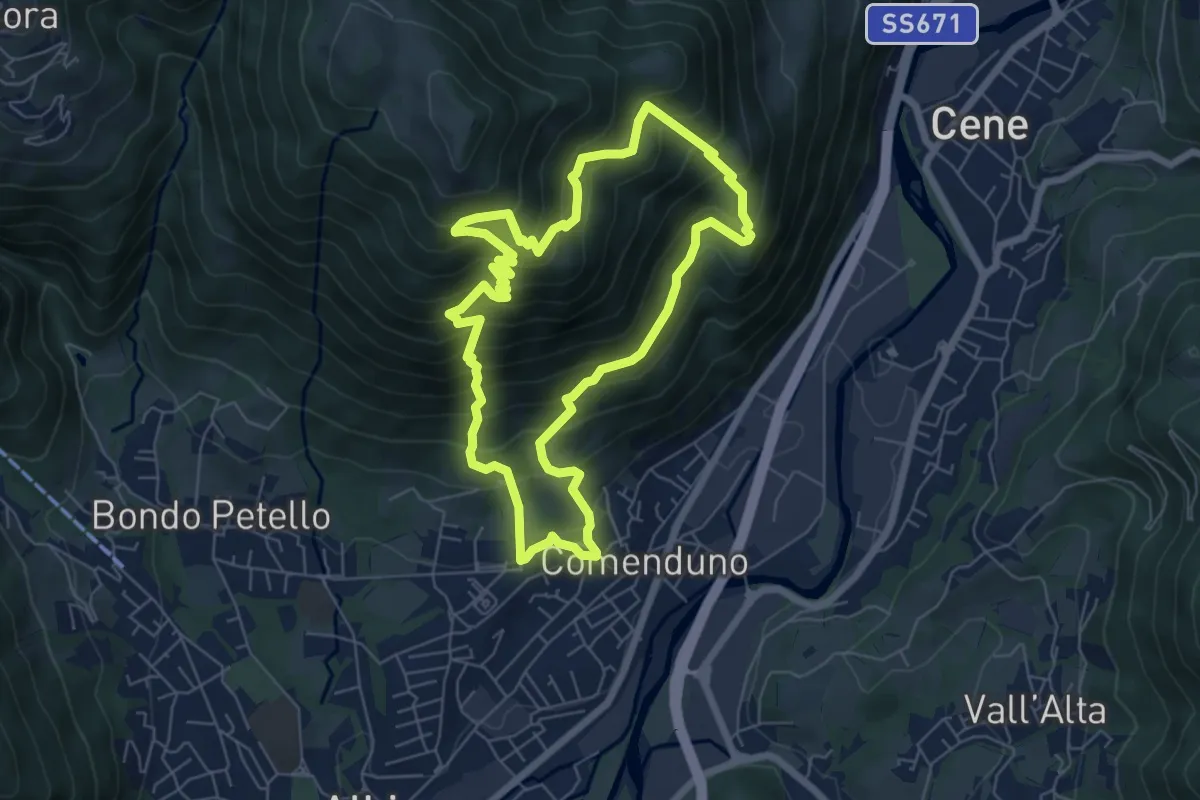
Demanding · Trail
Sentiero 2
6.4 km · ↑ 687 m · 3 h 5 min · 12 km away
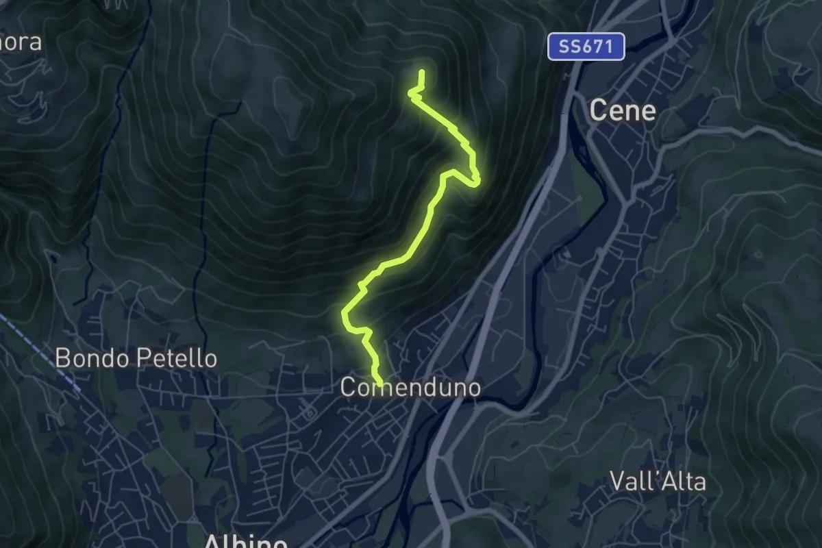
Medium · Summit
Comenduno (Albino) – Ganda
5.7 km · ↑ 511 m · 2 h 27 min · 12 km away
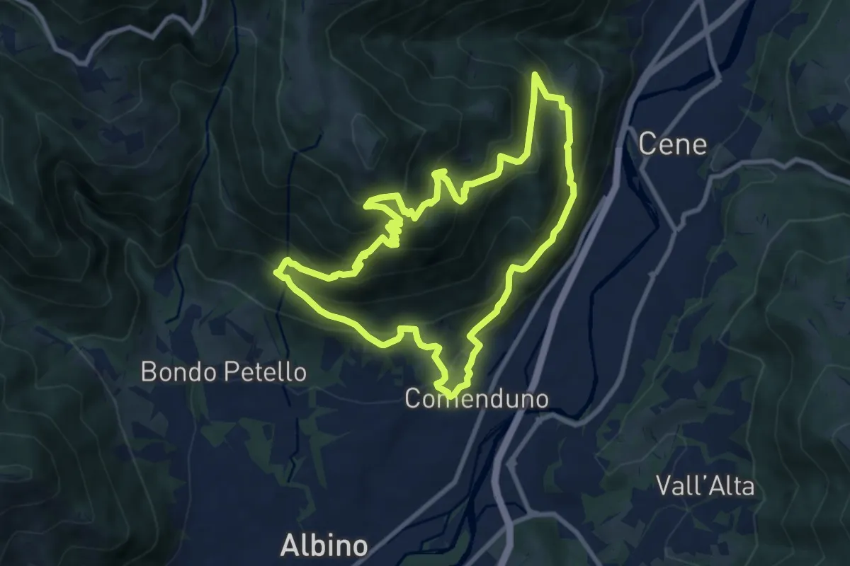
Demanding · Trail
Sentiero Agostino Noris
8.5 km · ↑ 767 m · 3 h 46 min · 12 km away
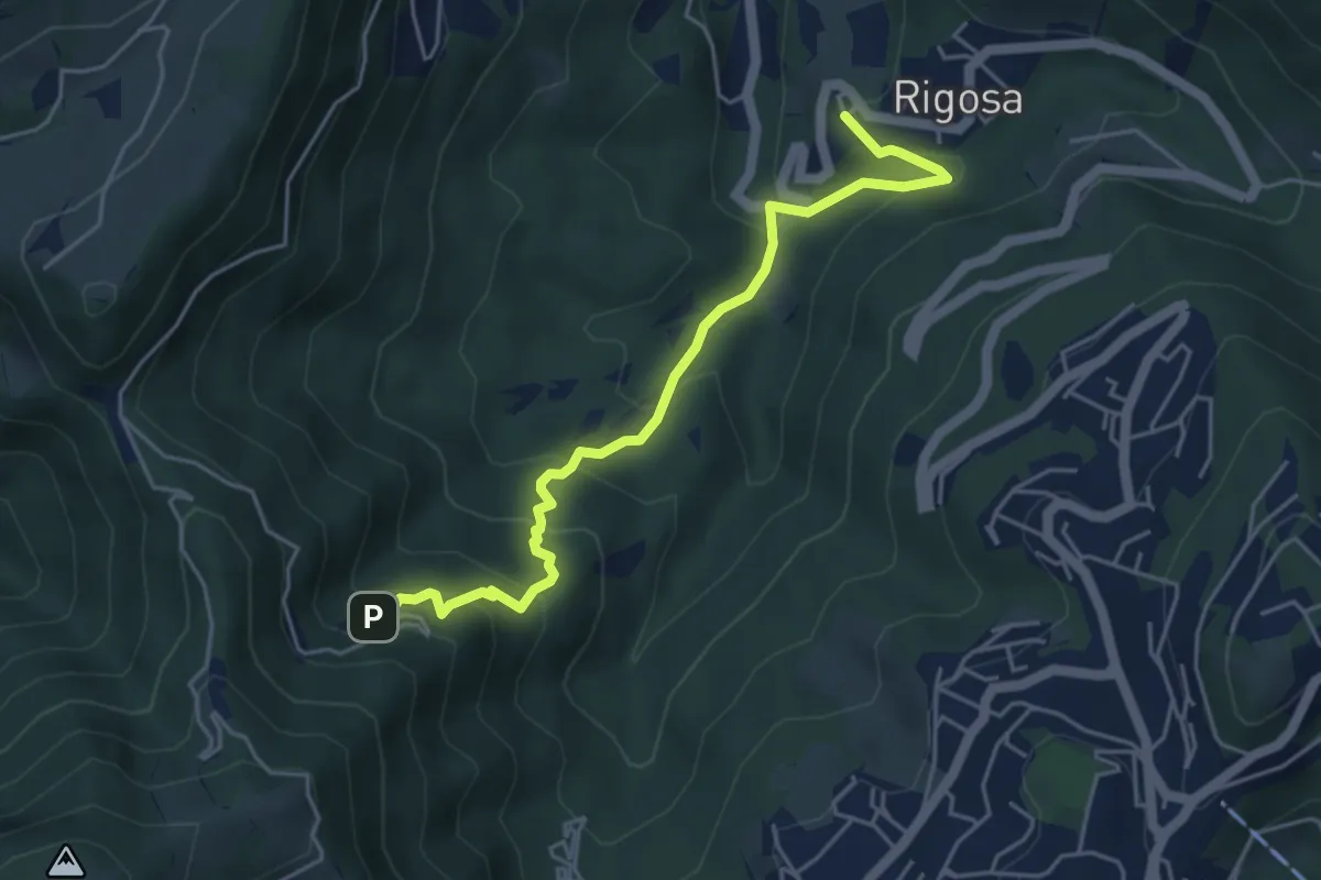
Medium · Trail
Rigosa – Santuario del Perello
5.0 km · ↑ 384 m · 2 h · 12 km away
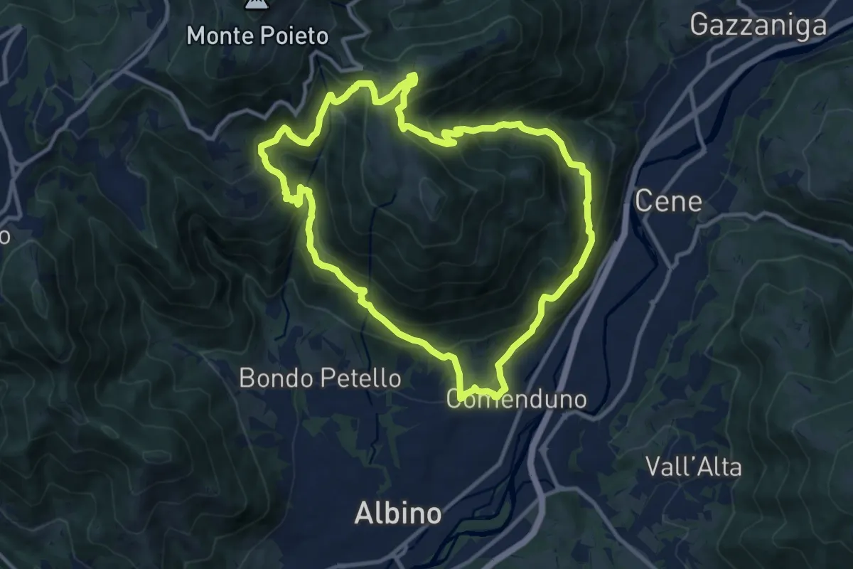
Demanding · Trail
Sentiero 3
10.6 km · ↑ 804 m · 4 h 23 min · 12 km away
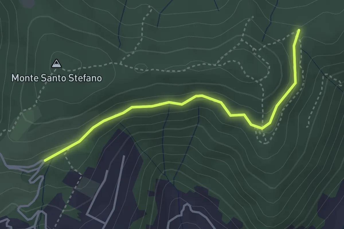
Medium · Trail
Cascina Pedrini – Boca di senter
3.4 km · ↑ 120 m · 1 h 4 min · 12 km away
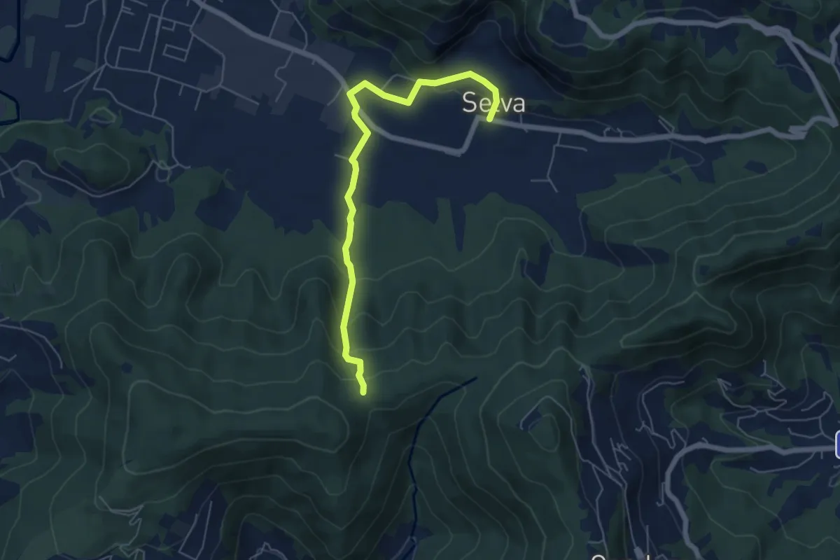
Easy · Trail
Selva – Boca di senter
5.8 km · ↑ 261 m · 1 h 56 min · 12 km away
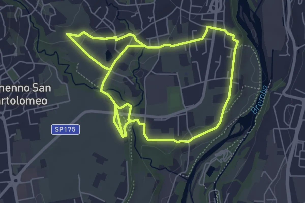
Medium · Trail
Sentiero del Romanico
10.5 km · ↑ 131 m · 2 h 45 min · 12 km away
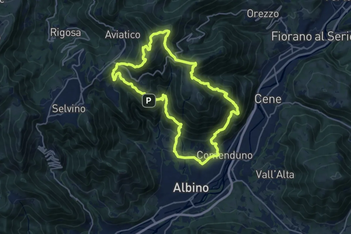
Demanding · Summit
Sentiero 4
15.2 km · ↑ 1092 m · 6 h 9 min · 12 km away
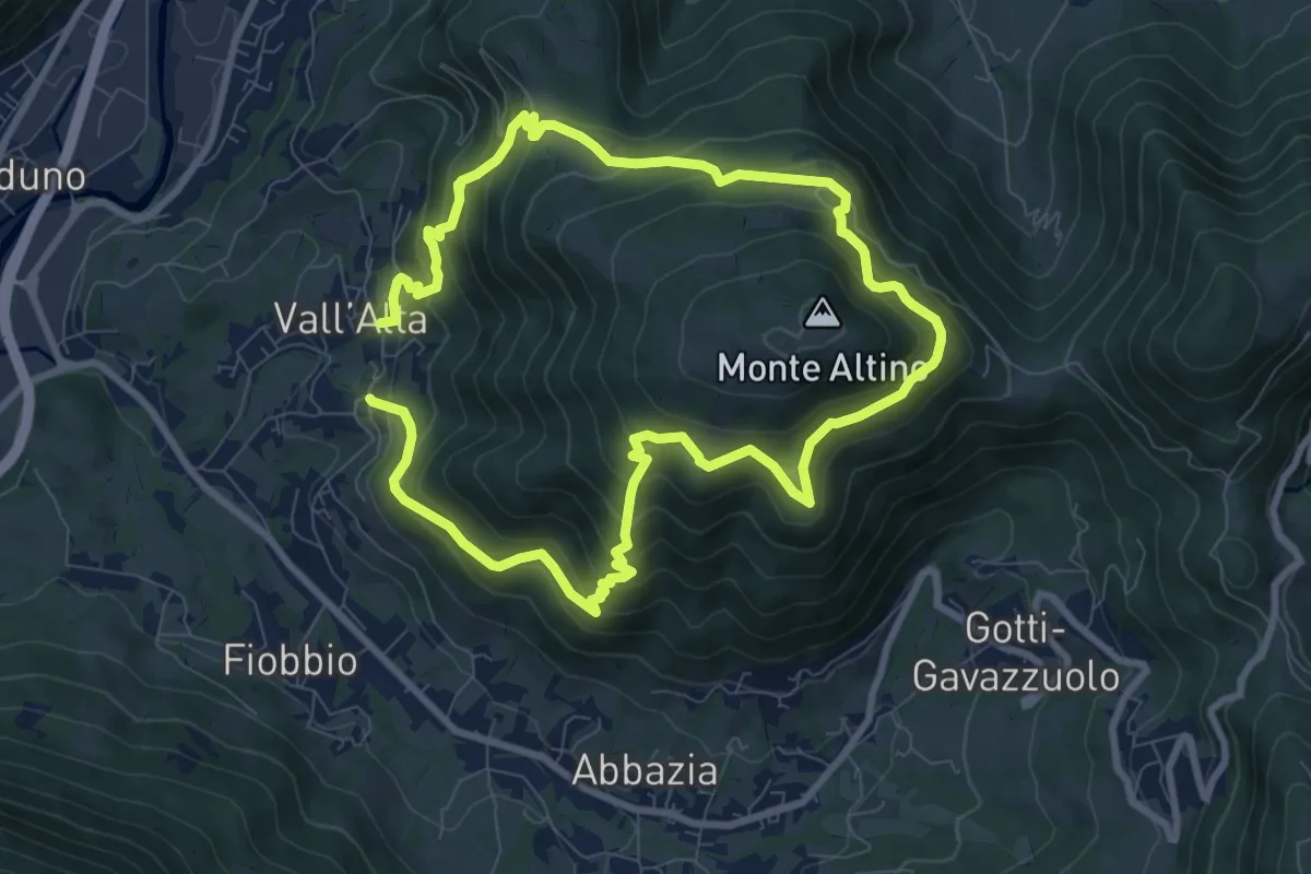
Medium · Trail
Vall'Alta (Albino) – Vall'Alta (Albino)
7.9 km · ↑ 605 m · 3 h 16 min · 12 km away
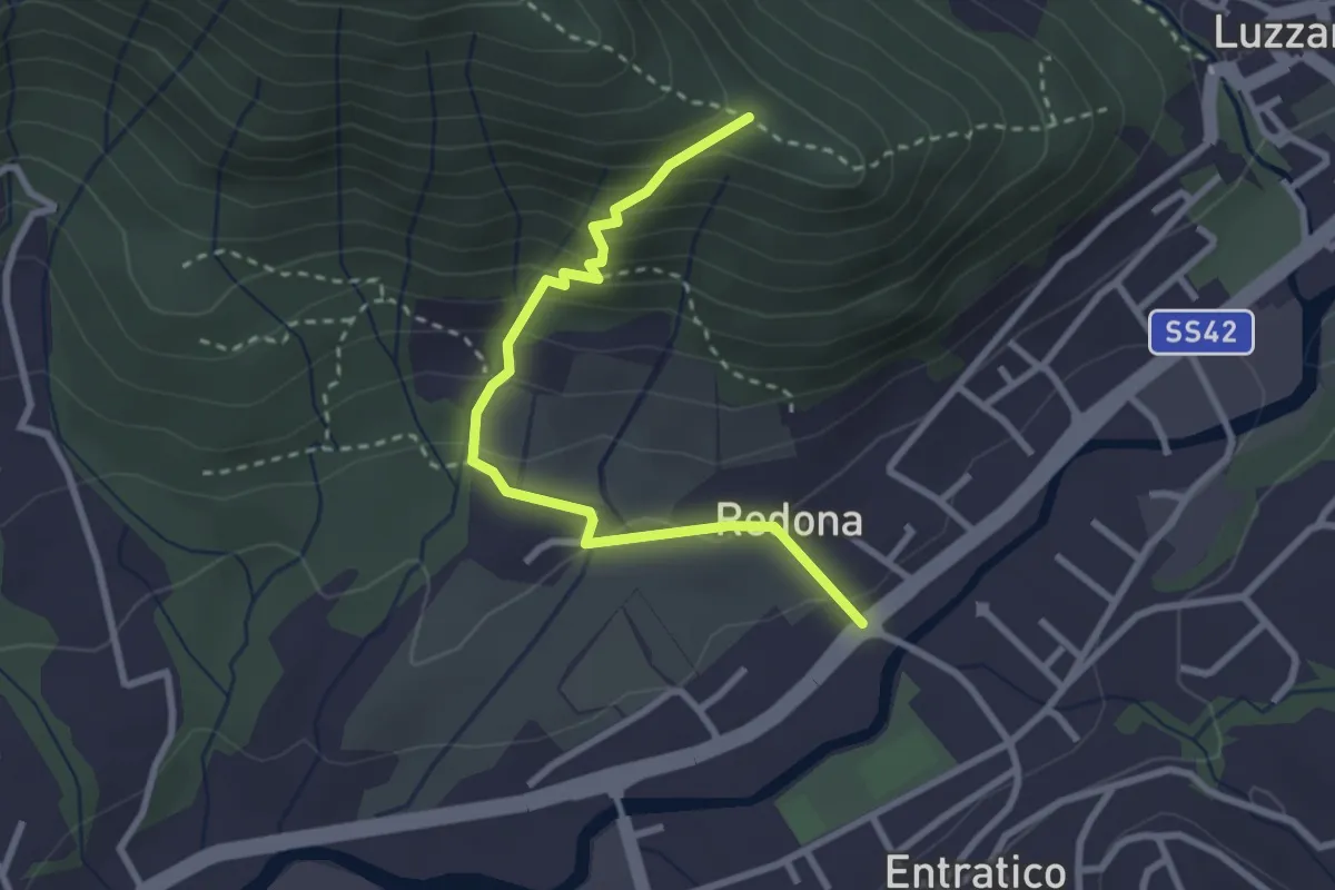
Medium · Trail
Redona (Entratico) – Costa del Colle (incrocio 611)
2.9 km · ↑ 245 m · 1 h 13 min · 12 km away
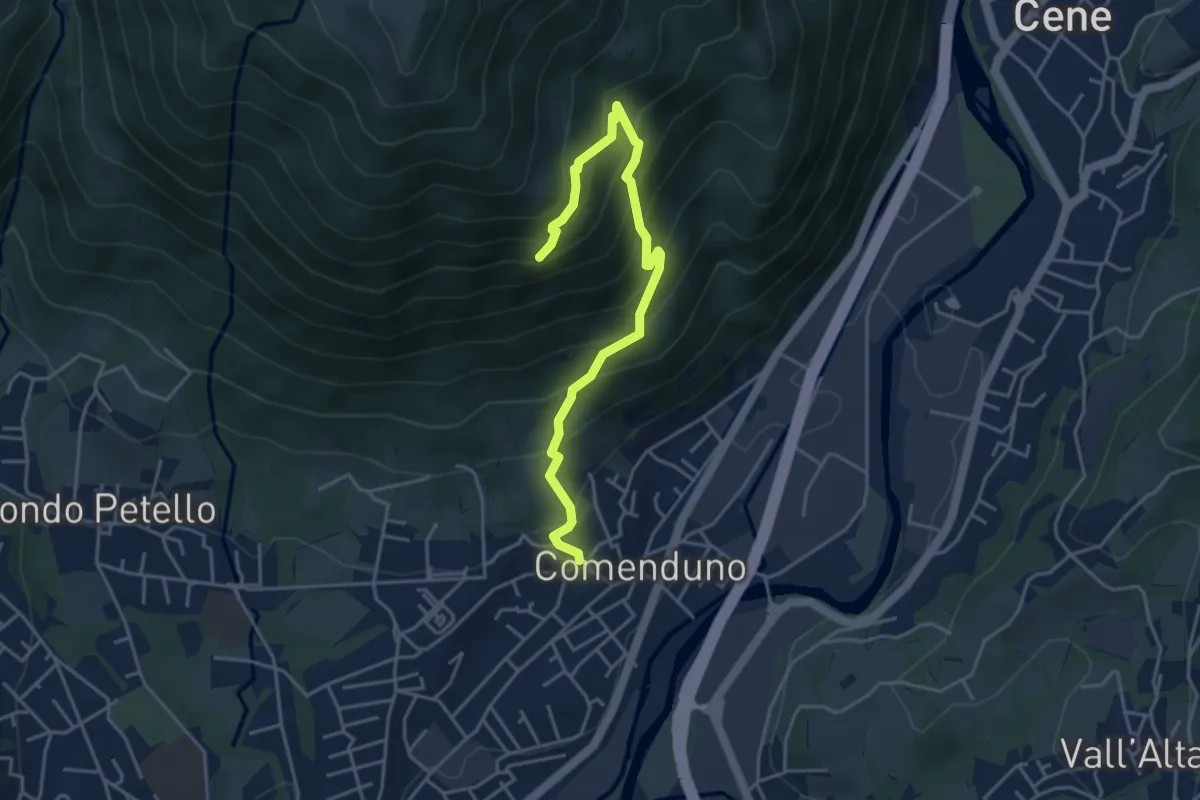
Demanding · Trail
Sentiero della Barchéssa Antonio Manganoni
4.6 km · ↑ 546 m · 2 h 16 min · 12 km away
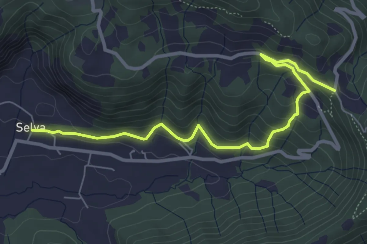
Medium · Trail
Selva – Colle San Giovanni
6.1 km · ↑ 362 m · 2 h 14 min · 12 km away
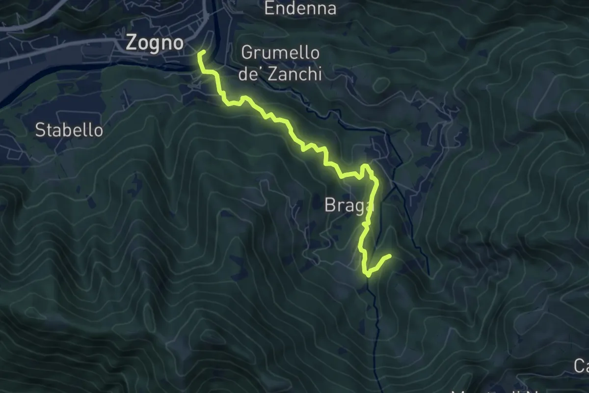
Medium · Trail
La via delle Castagne
7.6 km · ↑ 390 m · 2 h 38 min · 13 km away
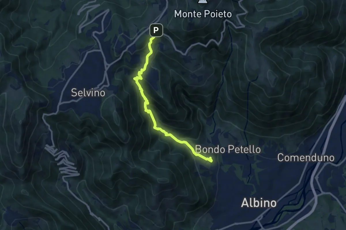
Medium · Trail
Albino – Ama (Aviatico)
8.7 km · ↑ 645 m · 3 h 27 min · 13 km away
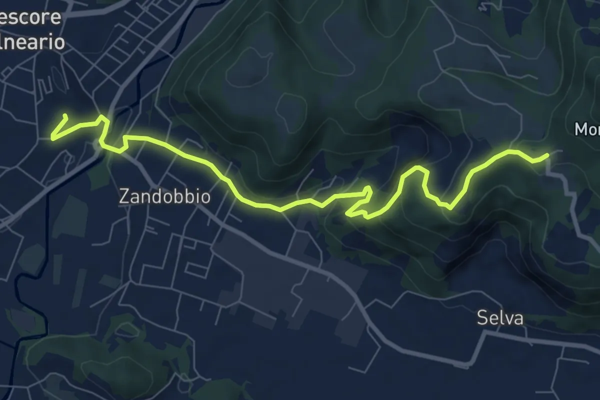
Medium · Trail
Trescore Balneario – Buca del Corno
8.6 km · ↑ 380 m · 2 h 52 min · 13 km away
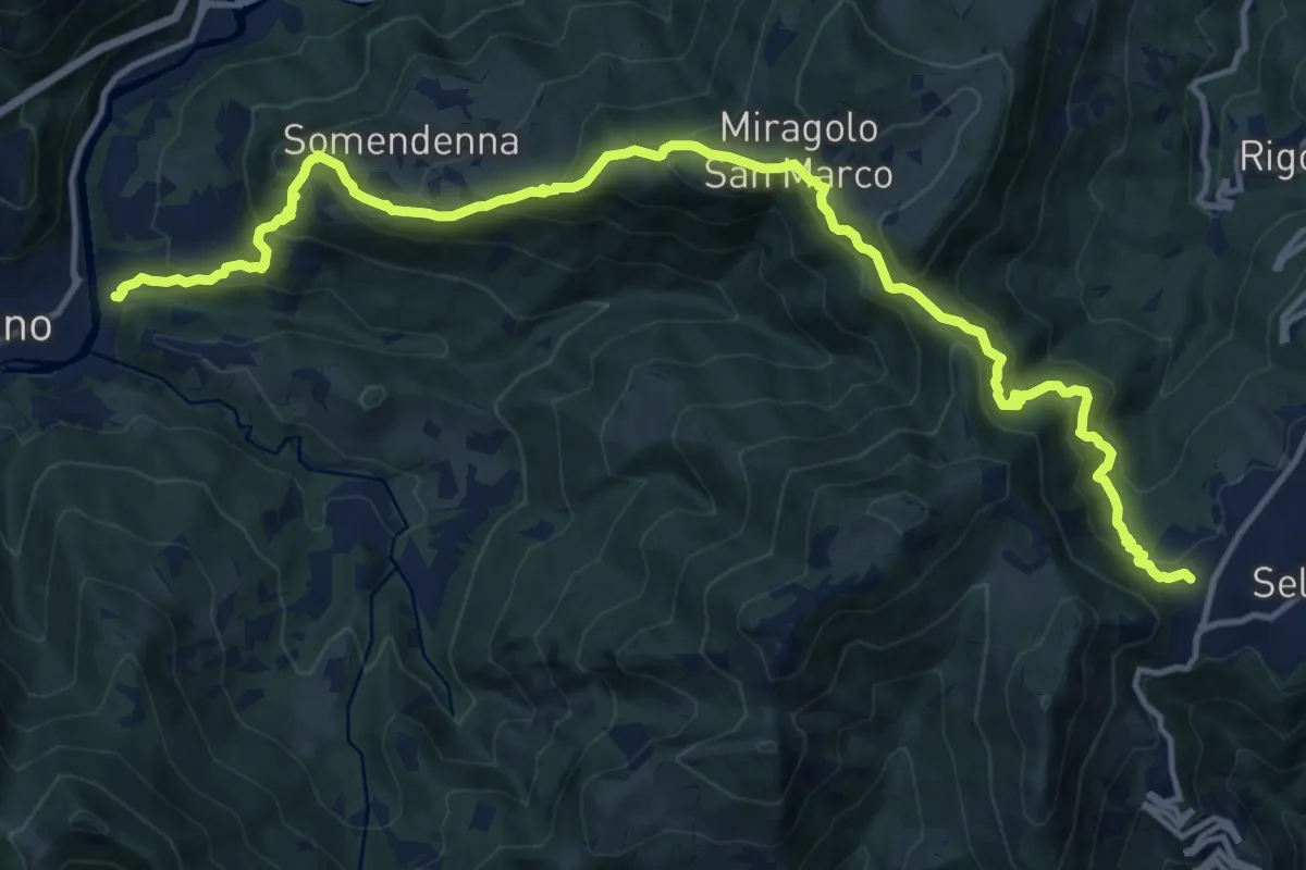
Demanding · Trail
Selvino – Zogno
16.8 km · ↑ 1152 m · 6 h 28 min · 13 km away
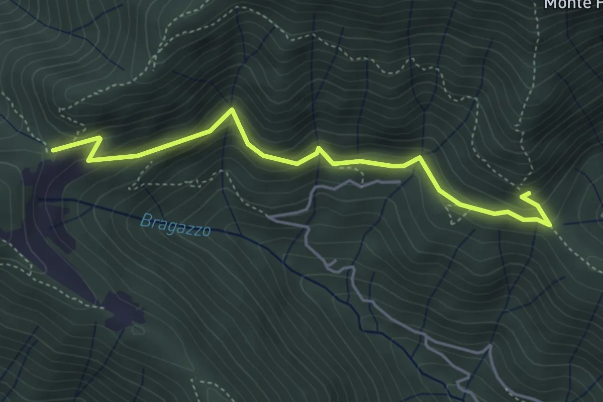
Medium · Trail
Fienile Piazzolo (Vigano San Martino) – Prati Alti
4.5 km · ↑ 340 m · 1 h 48 min · 13 km away
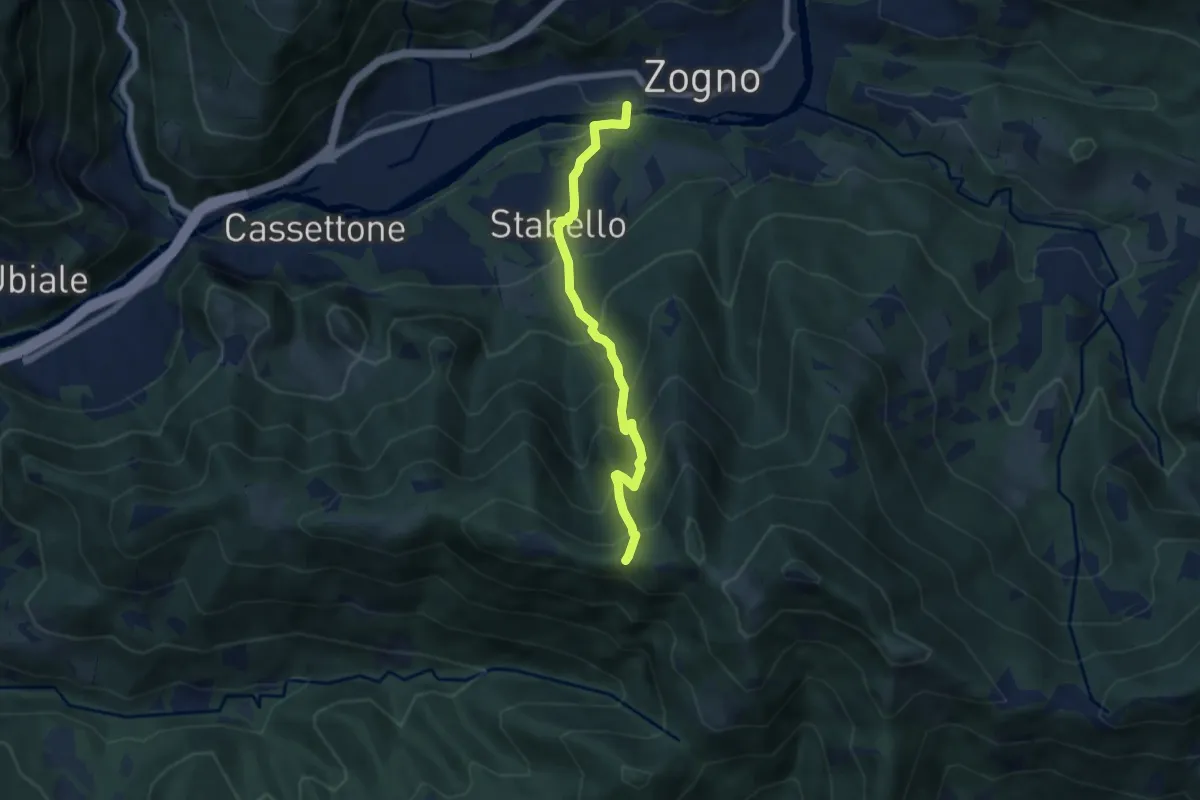
Demanding · Trail
Zogno – Casèl (incrocio 507)
6.1 km · ↑ 672 m · 2 h 54 min · 13 km away
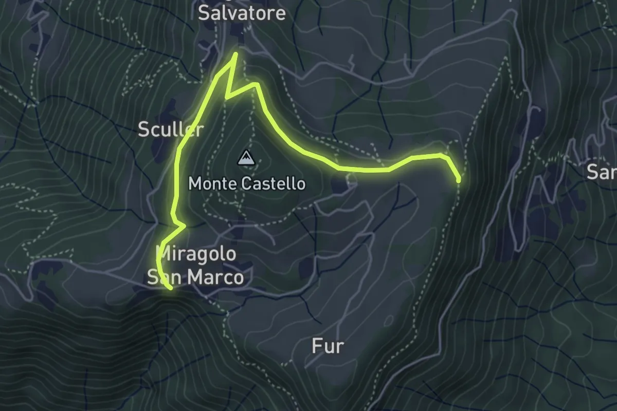
Medium · Trail
Miragolo San Marco – Incrocio H53
5.1 km · ↑ 160 m · 1 h 32 min · 13 km away