Trails near Serravalle Pistoiese
72 hikes starting within 15 km, nearest first.
Nearest first, page 2 of 2
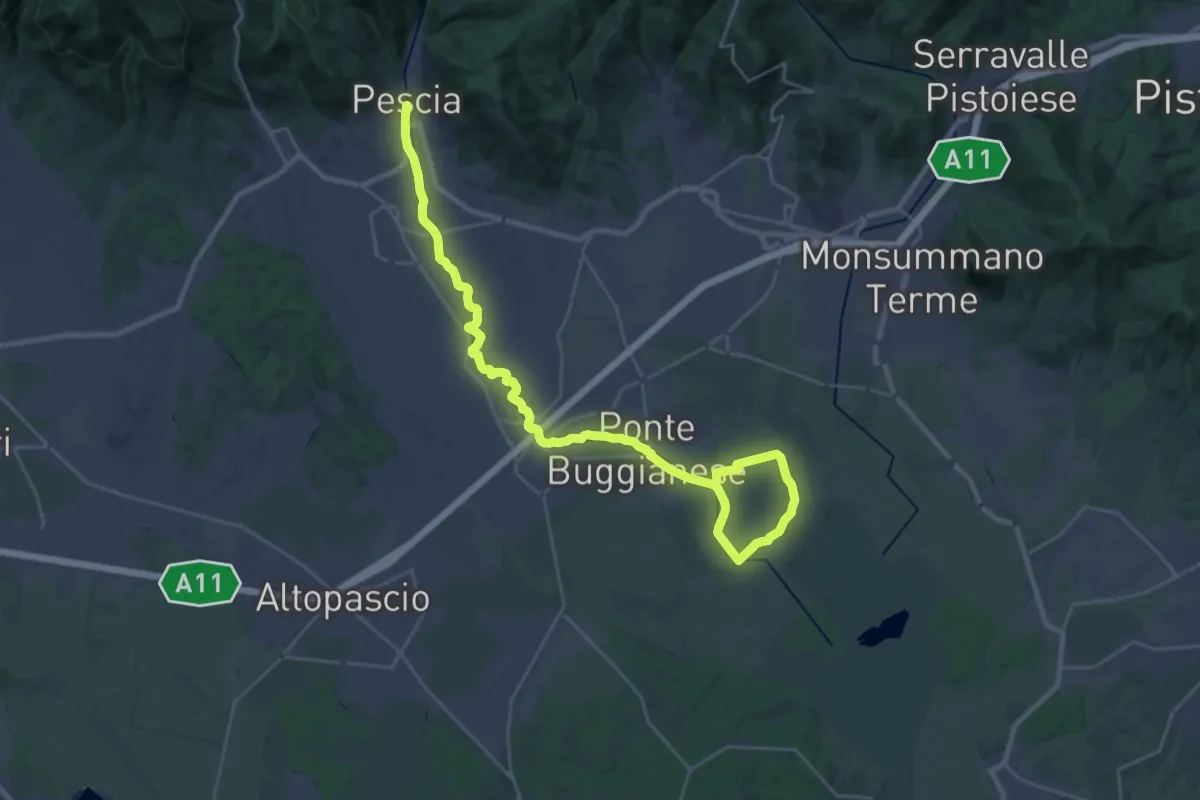
Demanding · Trail
Valle del Pescia - Il trekking lungo il fiume
18.0 km · ↑ 0 m · 4 h 32 min · 11 km away
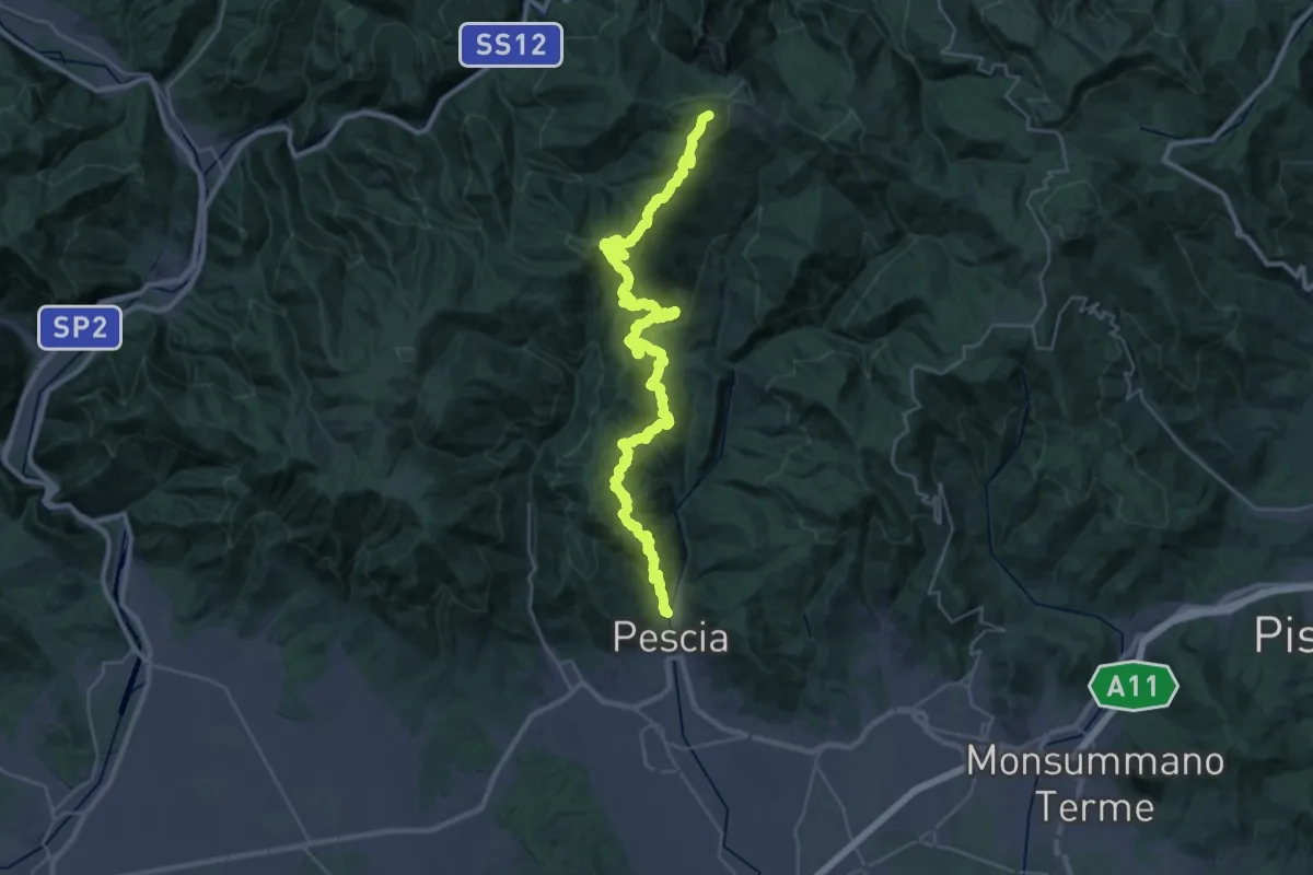
Demanding · Summit
Pescia – Popiglio
43.9 km · ↑ 2381 m · 15 h 31 min · 12 km away
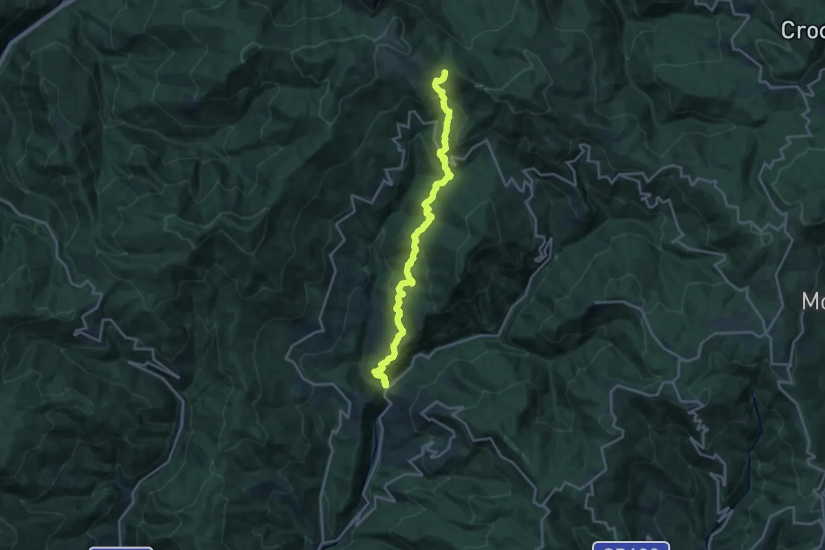
Demanding · Trail
Ponte di Sorana – Croce a Veglia
15.9 km · ↑ 875 m · 5 h 38 min · 12 km away
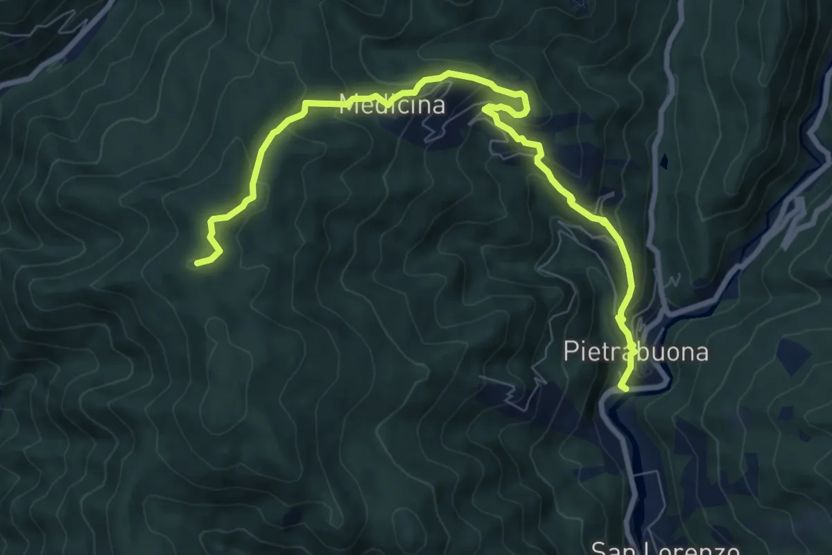
Medium · Summit
Pietrabuona – Sant'Anna
9.3 km · ↑ 579 m · 3 h 27 min · 12 km away
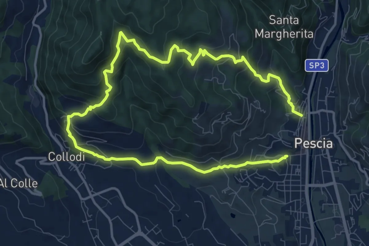
Medium · Trail
Pescia – Pescia
8.1 km · ↑ 446 m · 3 h · 12 km away
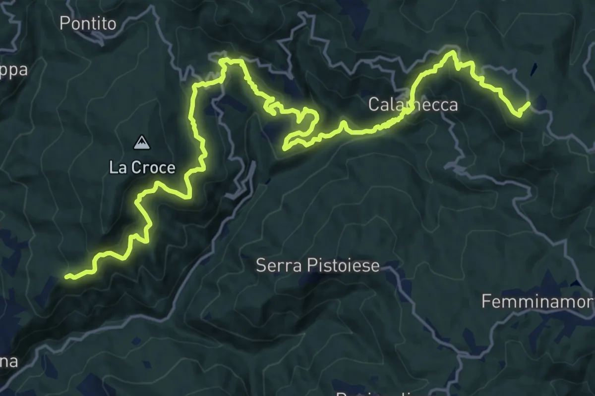
Demanding · Trail
Montaione – Macchia Antonini
12.3 km · ↑ 1049 m · 5 h 10 min · 12 km away
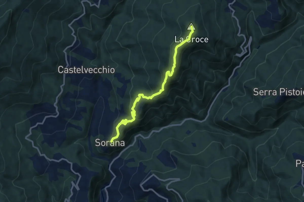
Medium · Summit
Sorana – Ponte alla Torbola
8.9 km · ↑ 505 m · 3 h 11 min · 12 km away
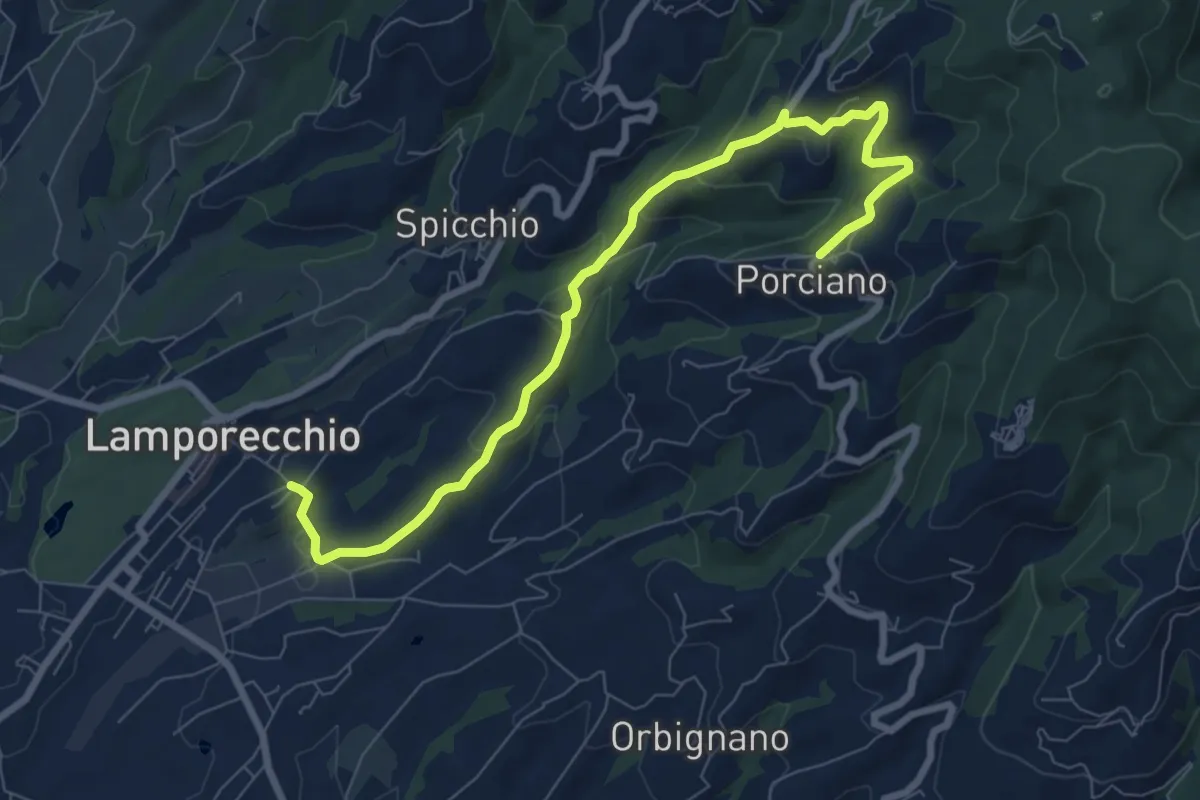
Medium · Trail
Lamporecchio – Porciano
9.1 km · ↑ 368 m · 2 h 56 min · 12 km away
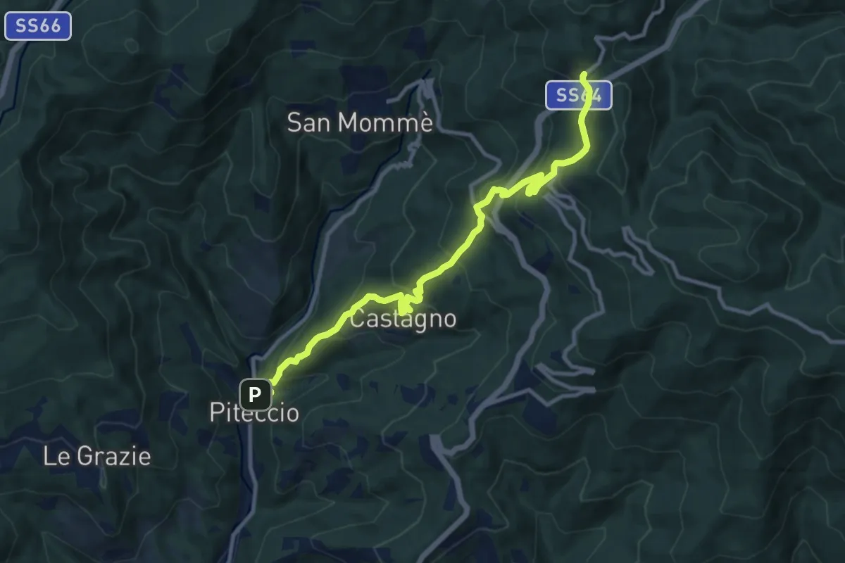
Demanding · Trail
Piteccio – Passo della Collina
10.9 km · ↑ 832 m · 4 h 23 min · 12 km away
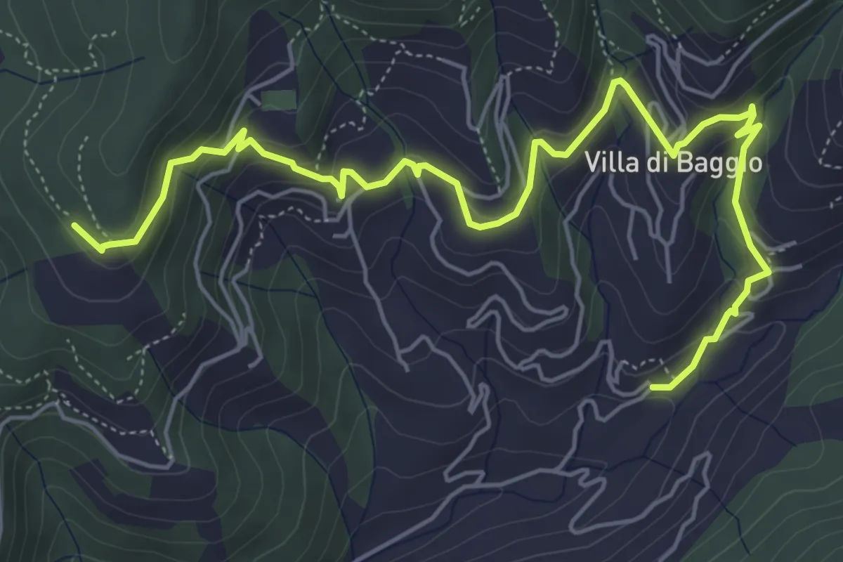
Medium · Trail
Mengarone – Innesto sentiero 208
7.3 km · ↑ 343 m · 2 h 28 min · 12 km away
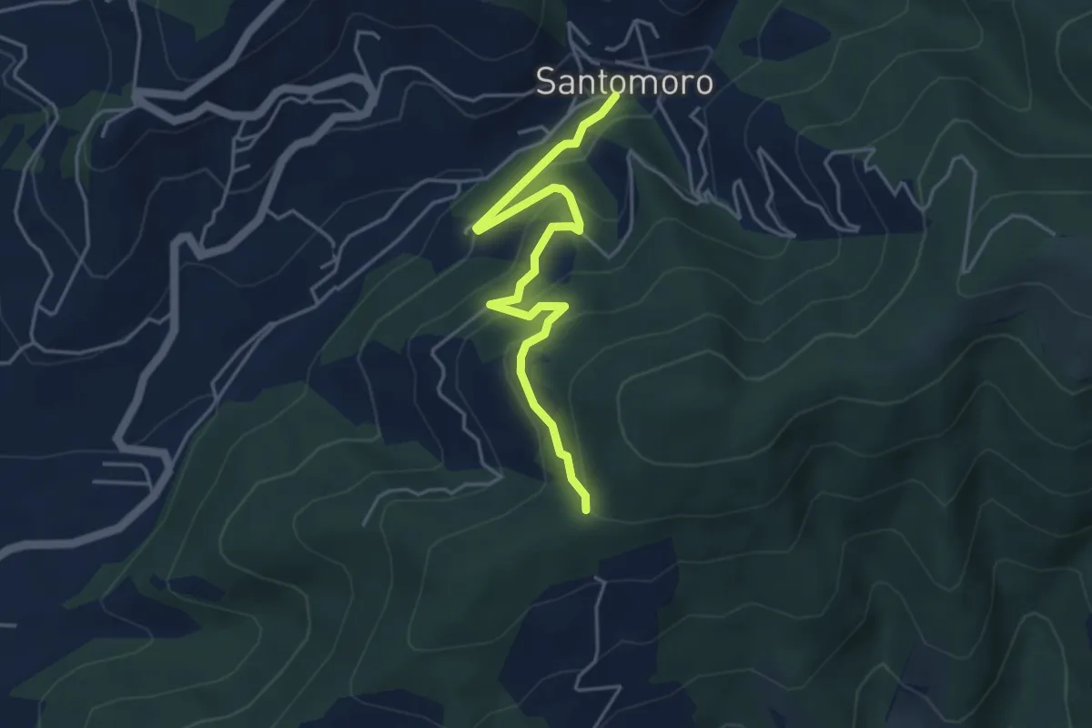
Easy · Trail
Santomoro – innesto sentiero 202
4.7 km · ↑ 270 m · 1 h 41 min · 13 km away
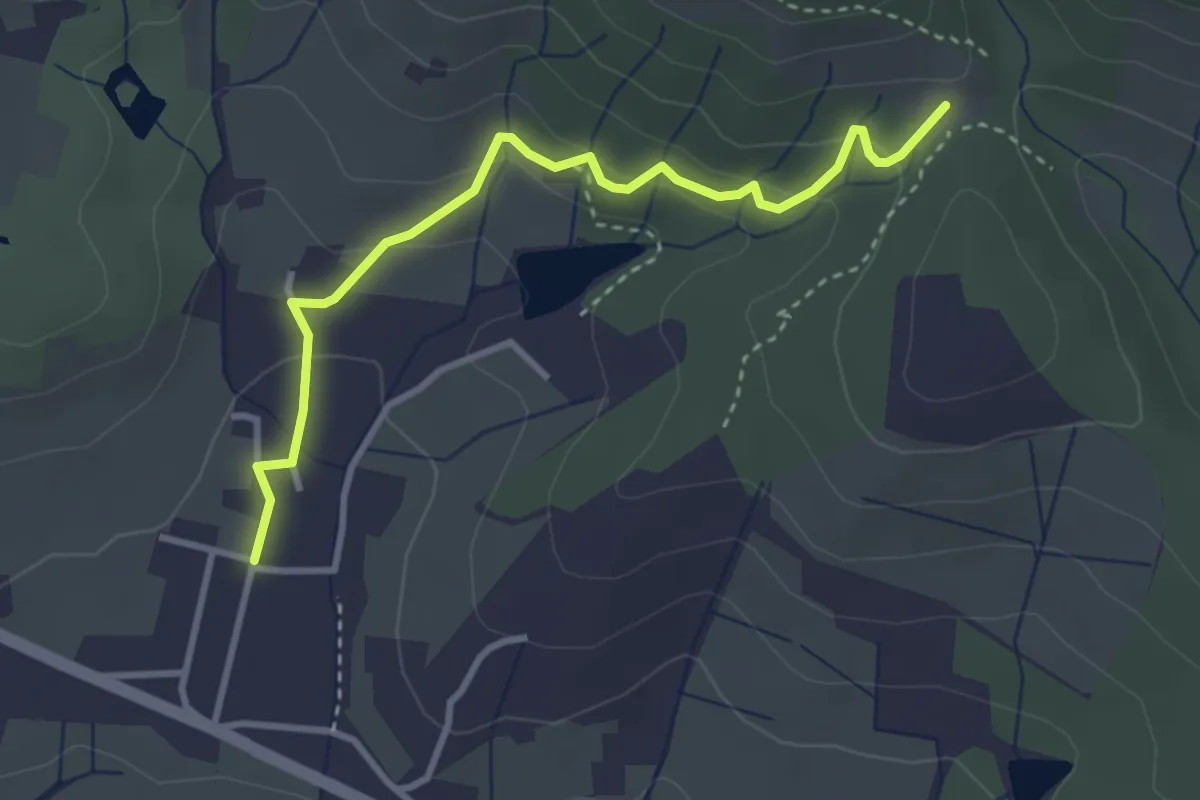
Easy · Trail
Santomato – Innesto sentiero 220
3.6 km · ↑ 139 m · 1 h 9 min · 13 km away
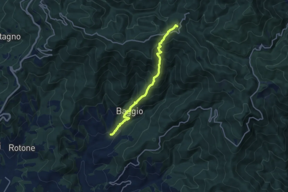
Demanding · Summit
Mengarone – Badia a Taona
10.2 km · ↑ 848 m · 4 h 15 min · 13 km away
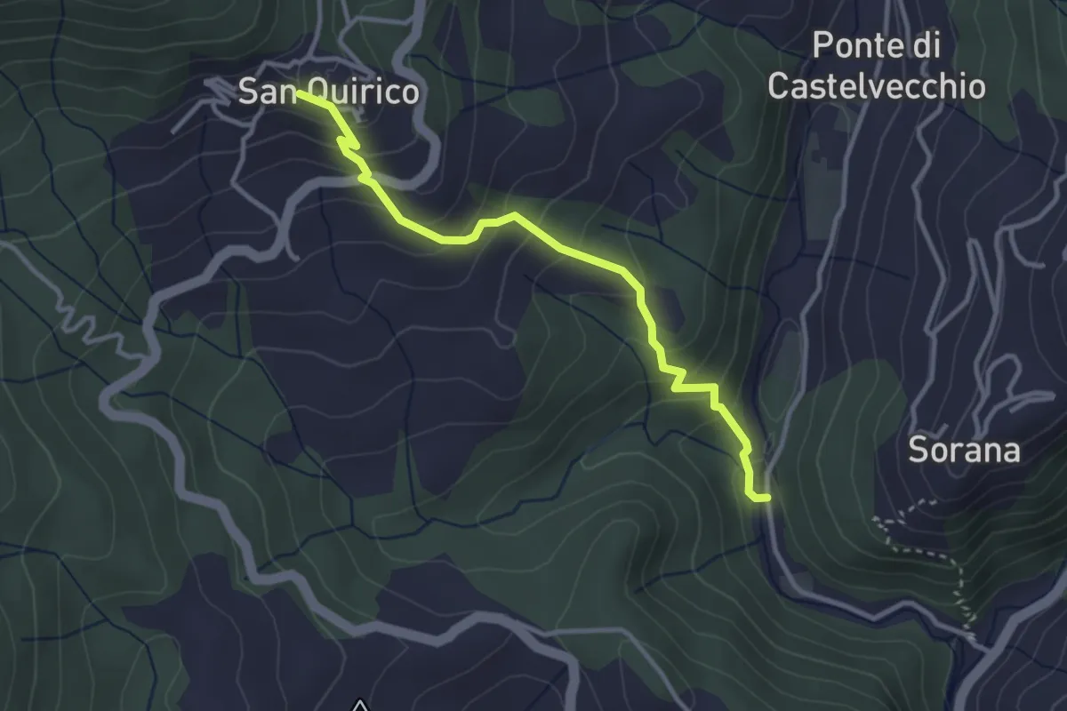
Easy · Trail
Mulino del Monti – San Quirico
3.3 km · ↑ 274 m · 1 h 23 min · 13 km away
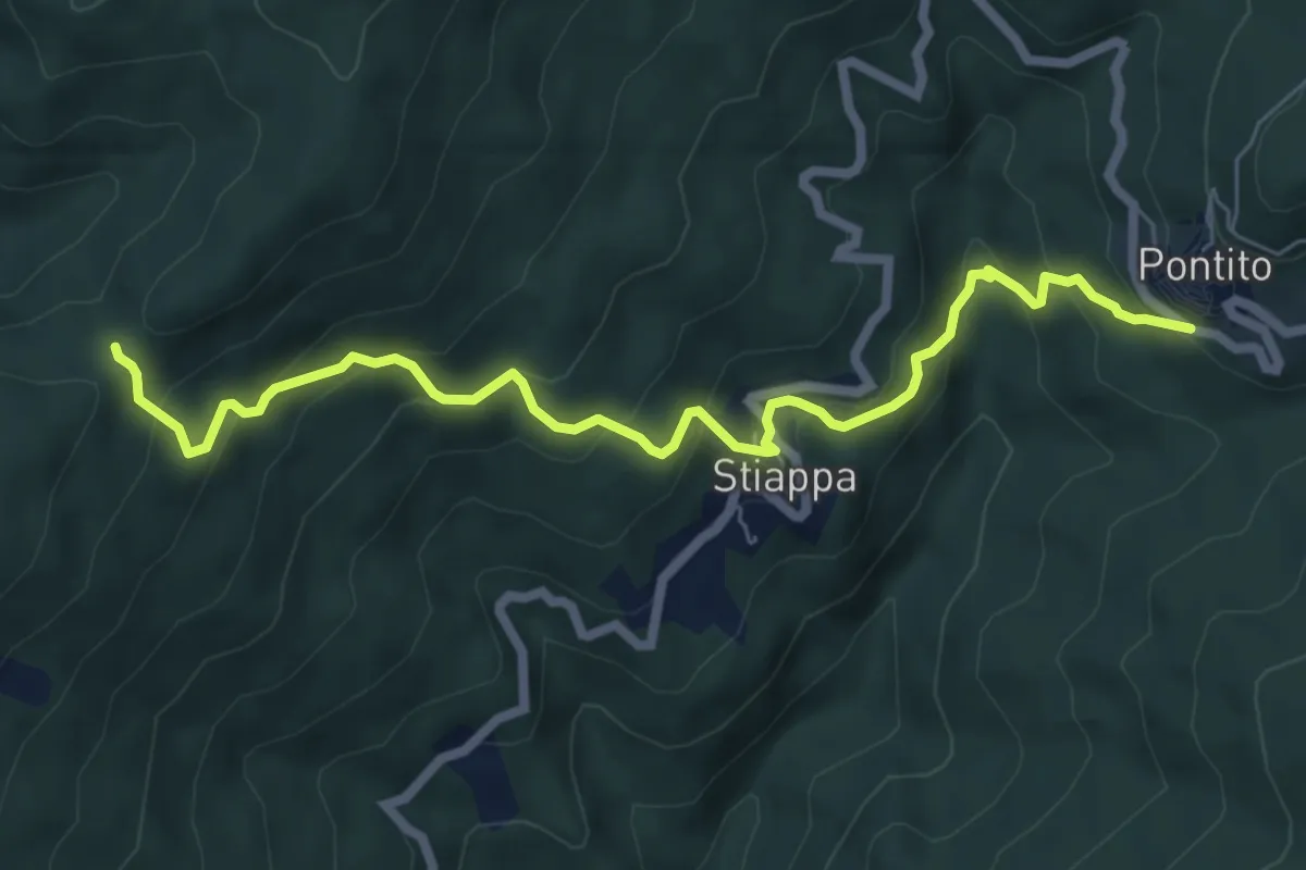
Medium · Trail
Pontito – Croce del Sargentino
7.5 km · ↑ 533 m · 2 h 56 min · 13 km away
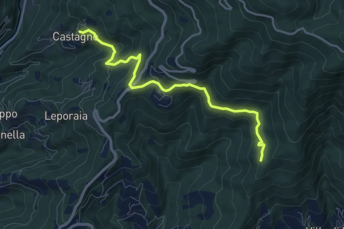
Medium · Trail
Castagno – innesto sentiero 208
8.9 km · ↑ 351 m · 2 h 52 min · 13 km away
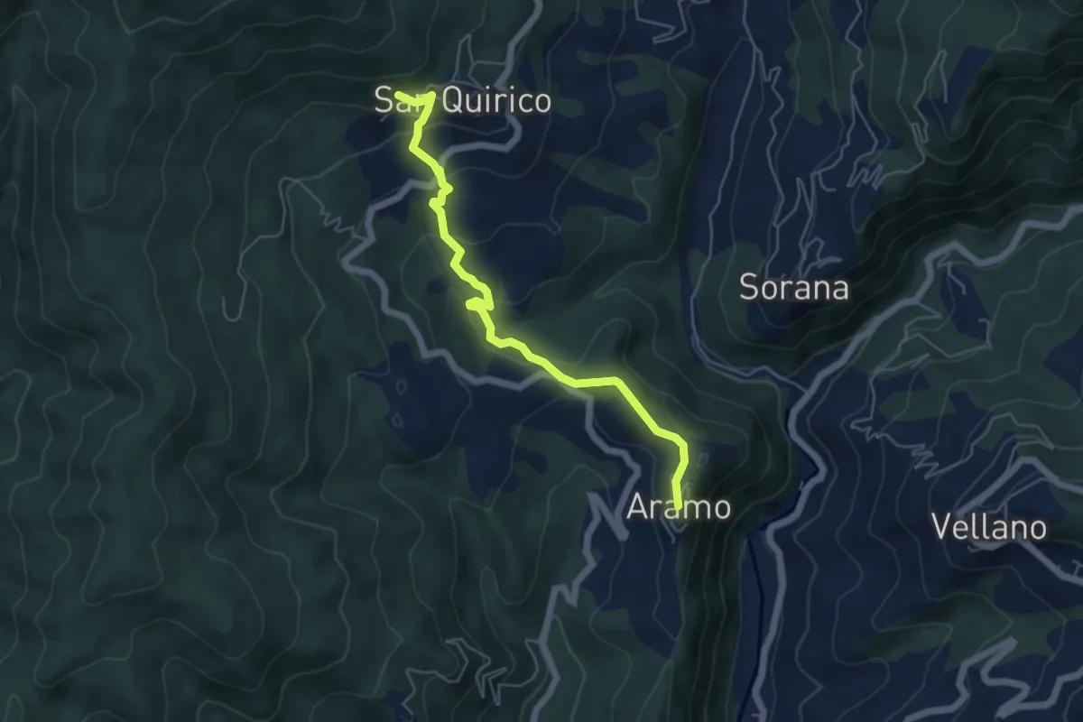
Easy · Trail
Aramo – San Quirico
2.8 km · ↑ 48 m · 53 min · 14 km away
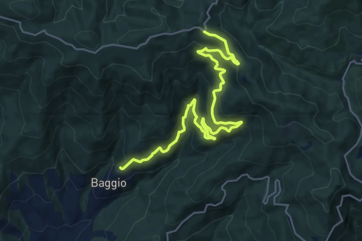
Demanding · Trail
Cammino di San Bartolomeo - VARIANTE di Poggione
16.0 km · ↑ 1009 m · 5 h 58 min · 14 km away
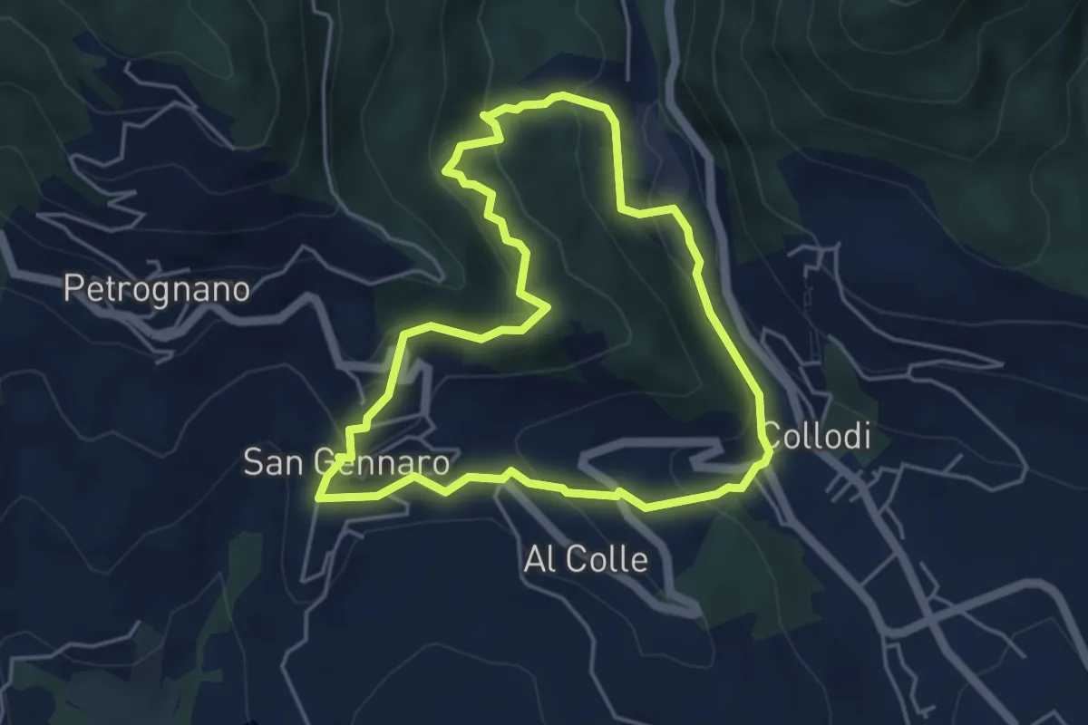
Easy · Trail
Sentiero n.17 "La Pescia"
4.4 km · ↑ 239 m · 1 h 37 min · 15 km away
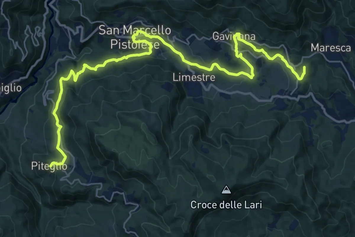
Demanding · Summit
Cammino di San Bartolomeo - VARIANTE di San Marcello
26.9 km · ↑ 910 m · 8 h 20 min · 15 km away
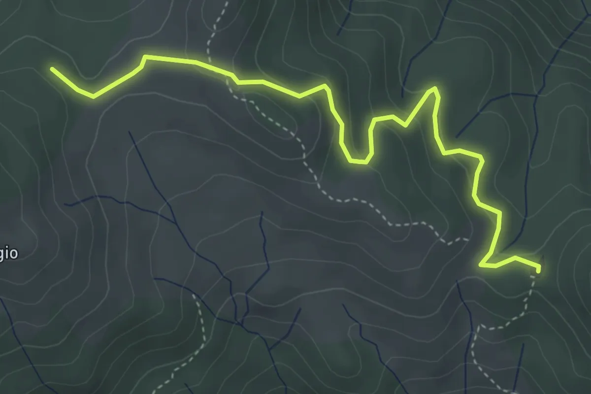
Easy · Summit
Croce a Veglia – Le Pracchie
2.5 km · ↑ 159 m · 55 min · 15 km away
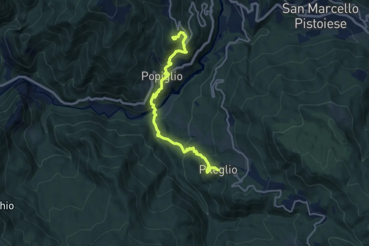
Medium · Summit
Cammino di San Bartolomeo - TAPPA Cutigliano-Popiglio-Piteglio
10.5 km · ↑ 793 m · 4 h 12 min · 15 km away
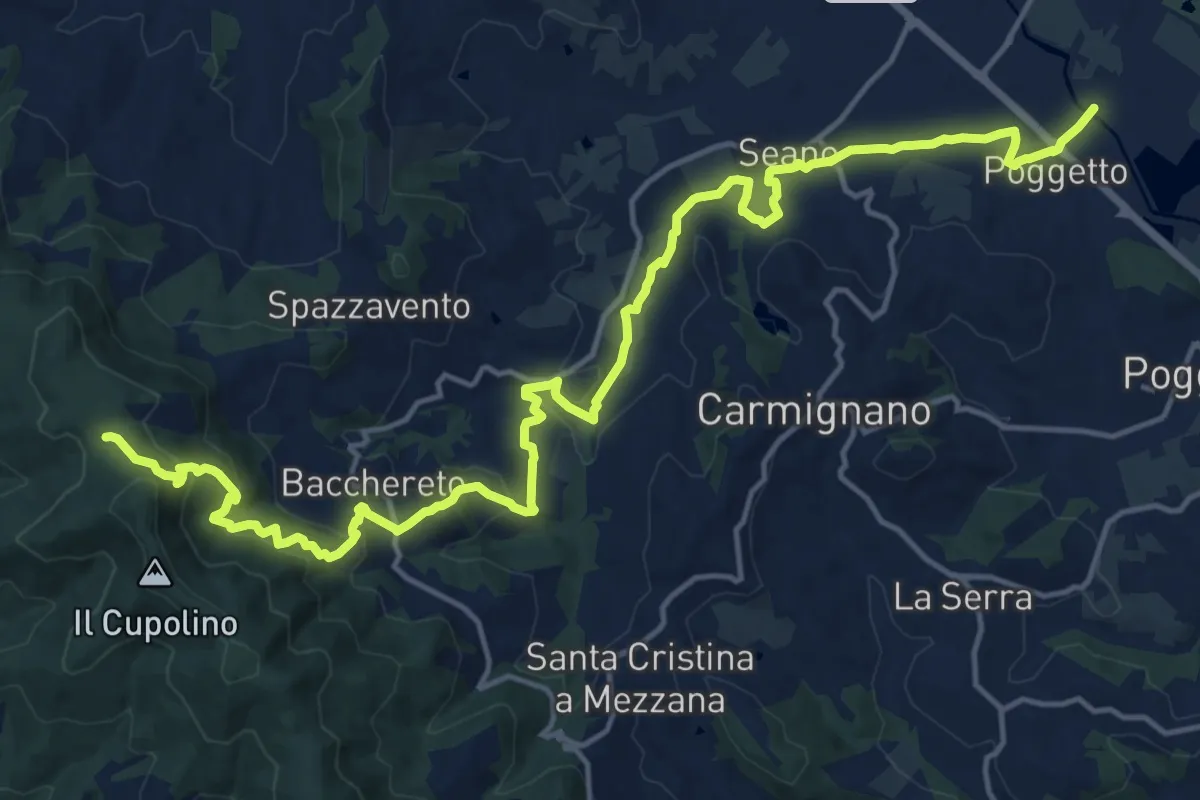
Demanding · Trail
Ponte a Tigliano – Torre Sant'Allluccio
22.0 km · ↑ 774 m · 6 h 52 min · 15 km away
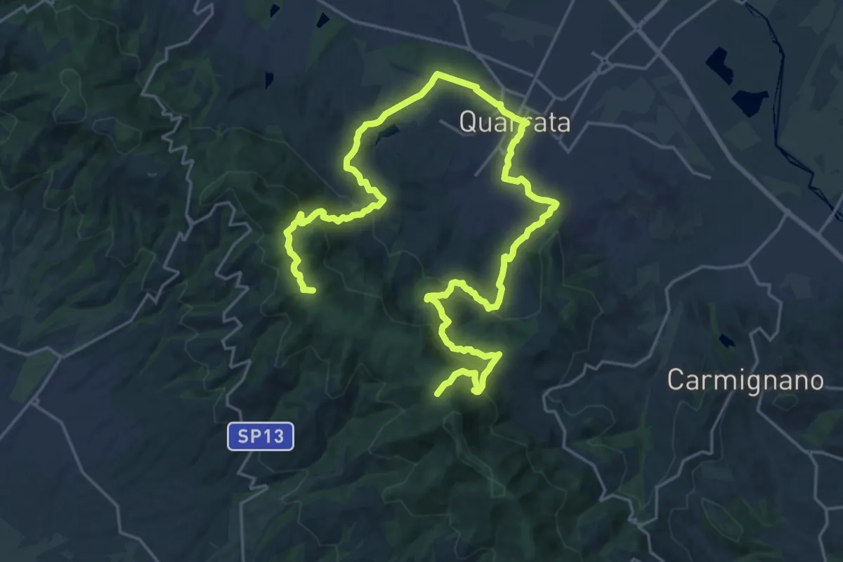
Demanding · Summit
Anello della Magia - Quarrata
32.0 km · ↑ 1351 m · 10 h 29 min · 15 km away