Trails near Siena
35 hikes starting within 15 km, nearest first.
Nearest first
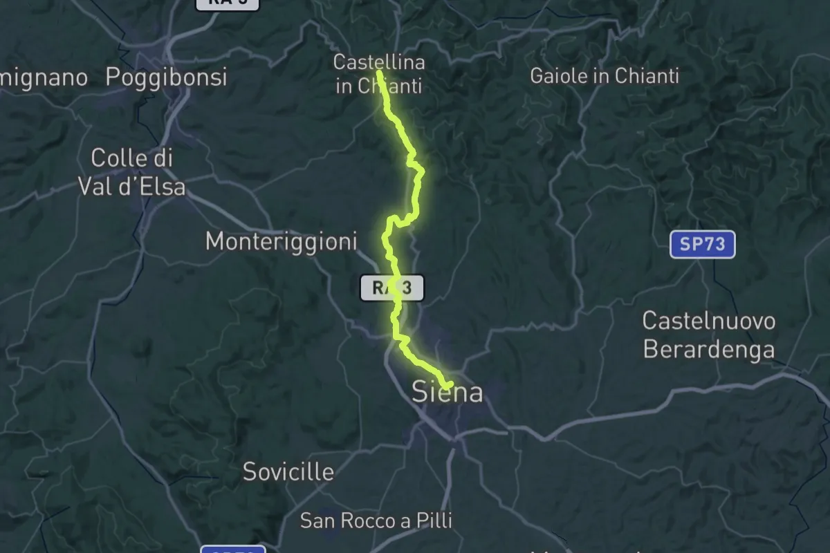
Demanding · Trail
Via Romea Sanese - Tappa 4
23.4 km · ↑ 570 m · 6 h 58 min · under 1 km away
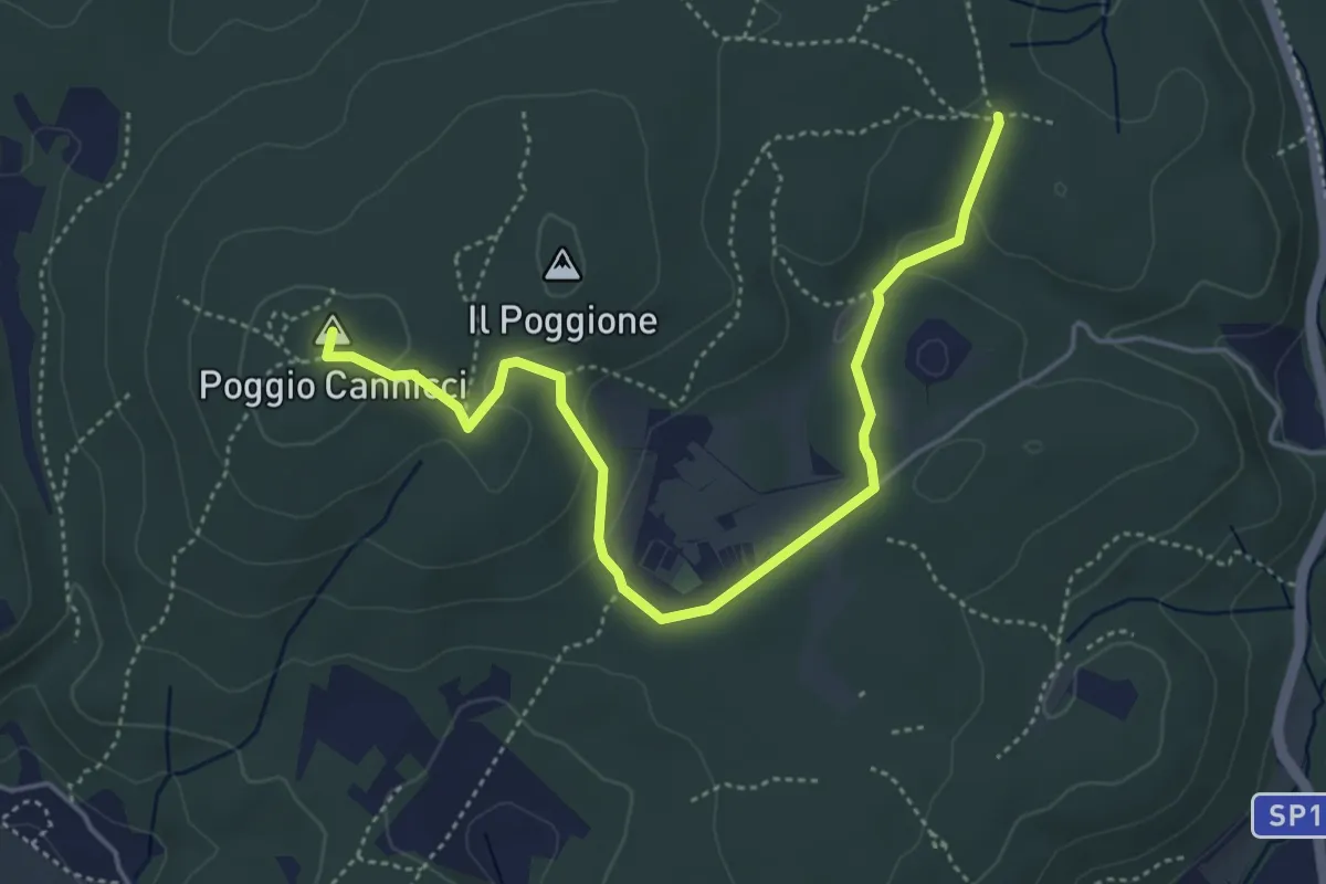
Easy · Summit
Valli – Piazza ai Lecci (sent. 117)
5.4 km · ↑ 122 m · 1 h 32 min · 5 km away
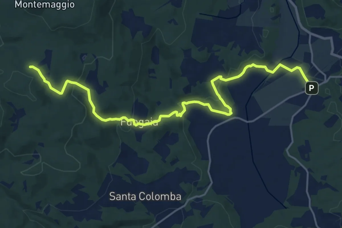
Medium · Trail
Pian del Lago – Casa Alteri (pressi)
16.2 km · ↑ 450 m · 4 h 48 min · 6 km away
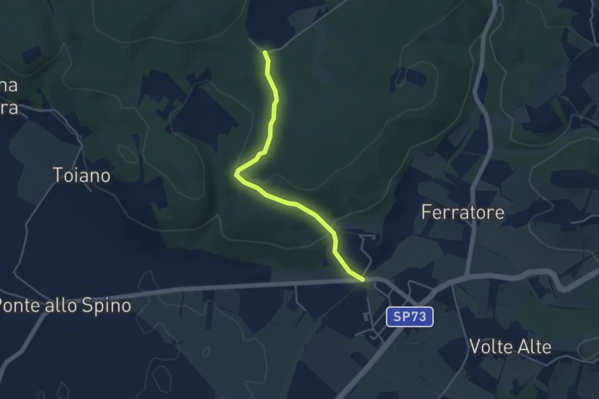
Easy · Trail
Volte Basse – Bivio La Loccaia
3.8 km · ↑ 115 m · 1 h 9 min · 6 km away
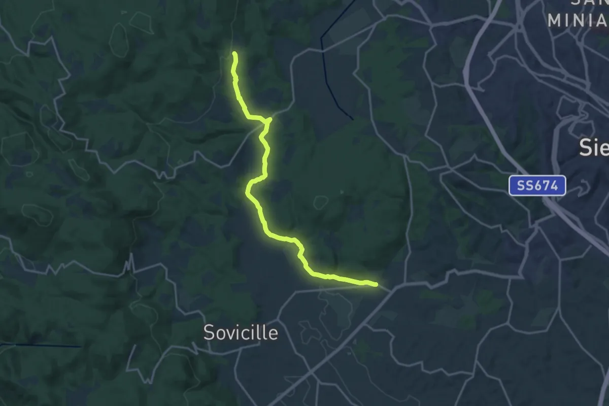
Medium · Trail
Volte Basse – Fungaia
16.6 km · ↑ 276 m · 4 h 32 min · 6 km away
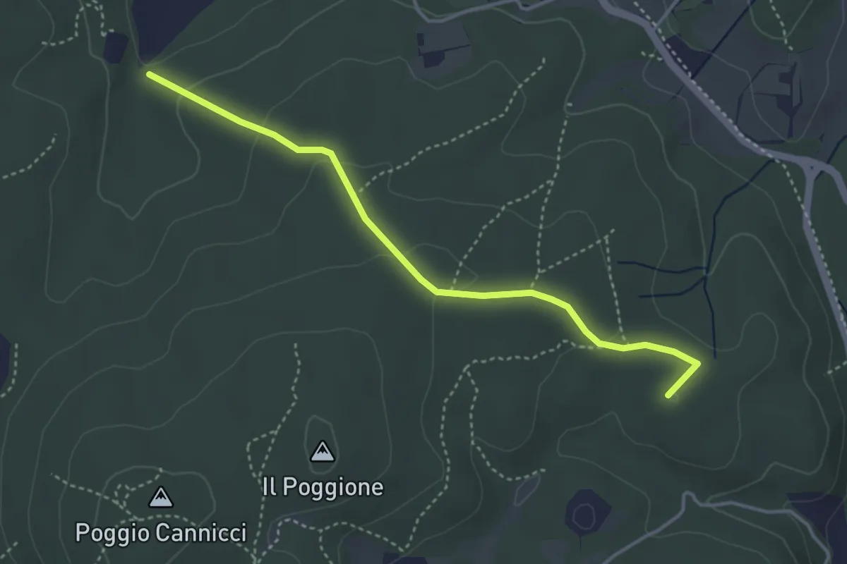
Easy · Summit
SP del Ferratore – S. Leonardo al Lago
4.2 km · ↑ 118 m · 1 h 14 min · 7 km away
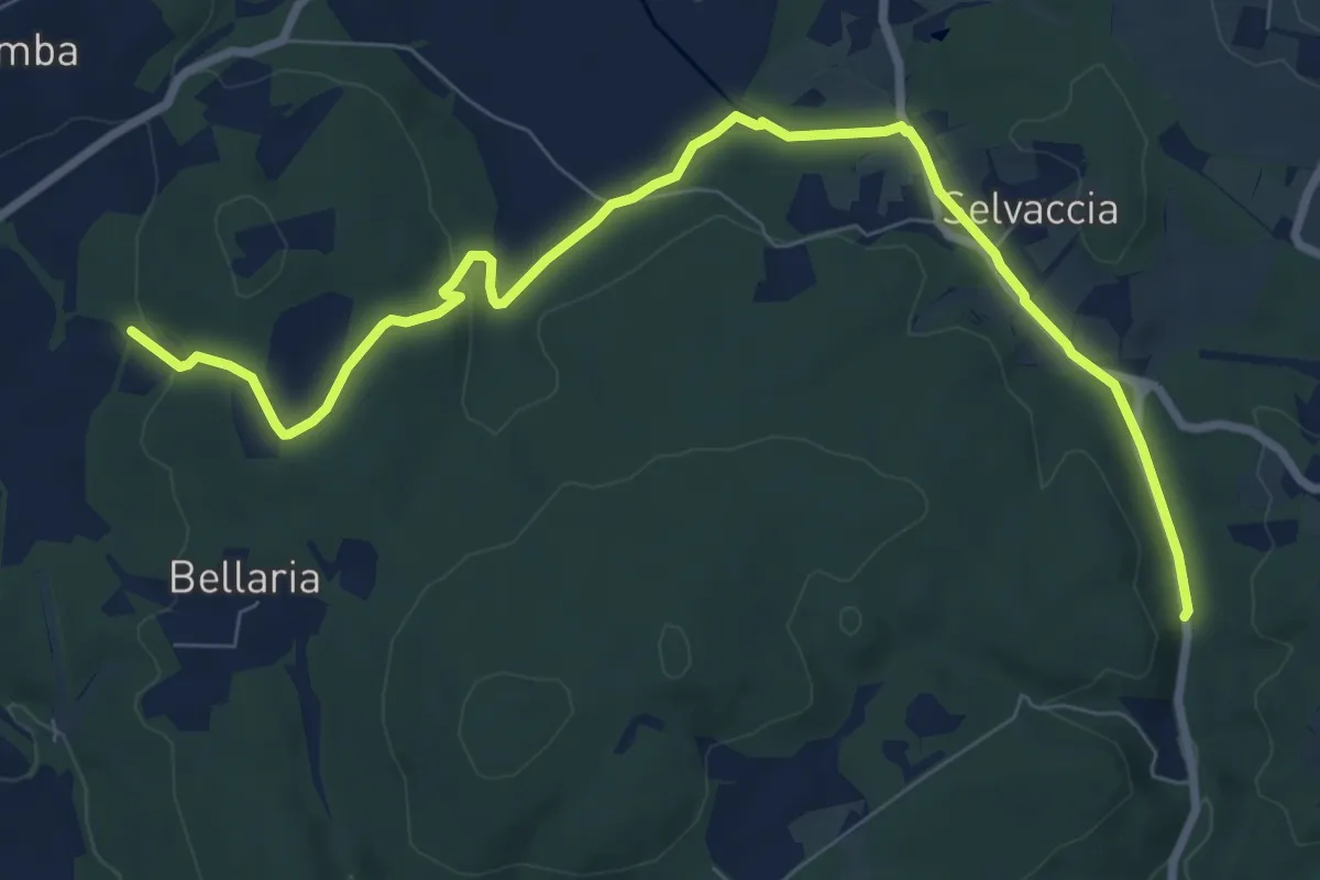
Demanding · Trail
Pastine di Sotto – Galleria del Granduca
10.2 km · ↑ 181 m · 2 h 48 min · 8 km away
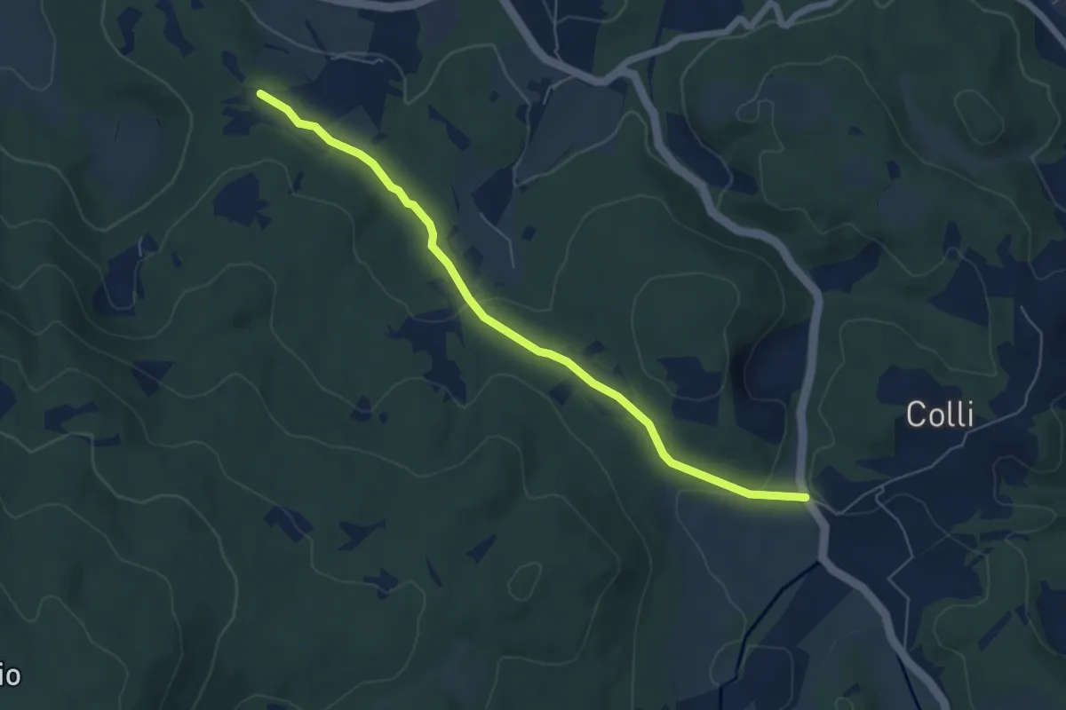
Easy · Trail
SS 2 Cassia (bivio Bracciano) – Il Mandorlo
6.4 km · ↑ 117 m · 1 h 46 min · 8 km away
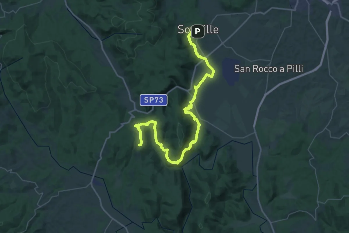
Demanding · Summit
Sovicille – Monticiano
40.9 km · ↑ 991 m · 11 h 48 min · 9 km away
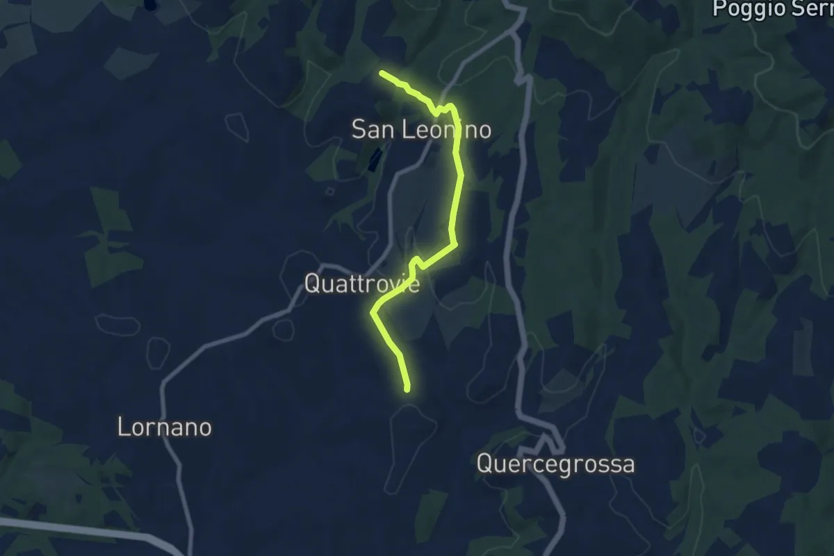
Easy · Trail
Campalli – Magione
7.3 km · ↑ 185 m · 2 h 7 min · 10 km away
Easy · Trail
Cresta dell'Angiolo
2.1 km · ↑ 14 m · 32 min · 10 km away
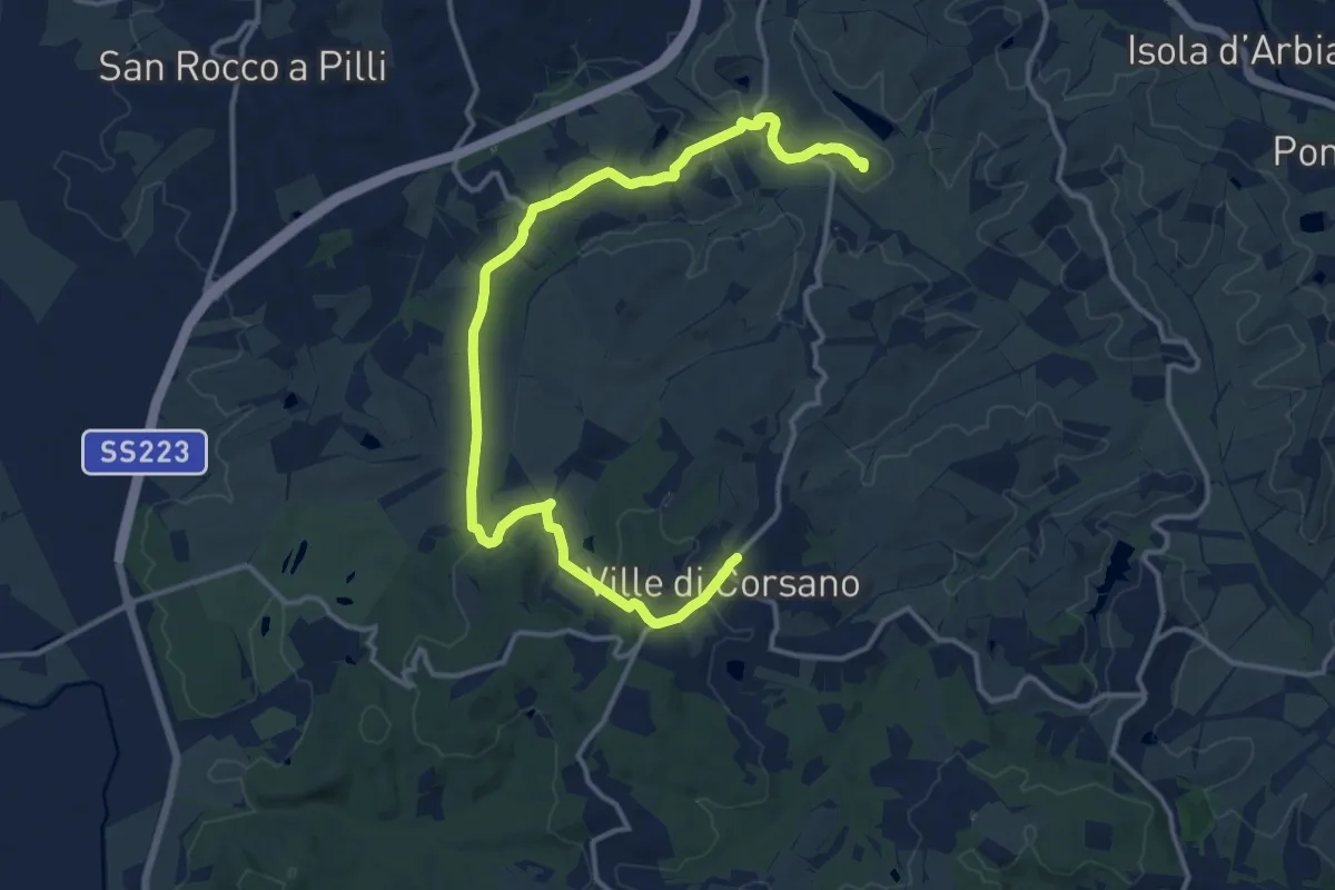
Medium · Summit
itineratio 502 – Ville di Corsano
18.0 km · ↑ 309 m · 4 h 55 min · 11 km away
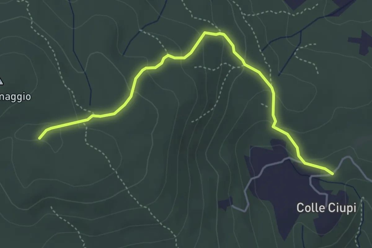
Easy · Trail
Colle Ciupi – Monte Maggio
4.8 km · ↑ 190 m · 1 h 33 min · 11 km away
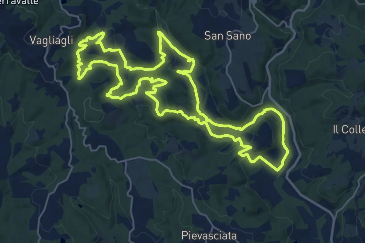
Medium · Trail
Dievole natural path
17.5 km · ↑ 524 m · 5 h 31 min · 11 km away
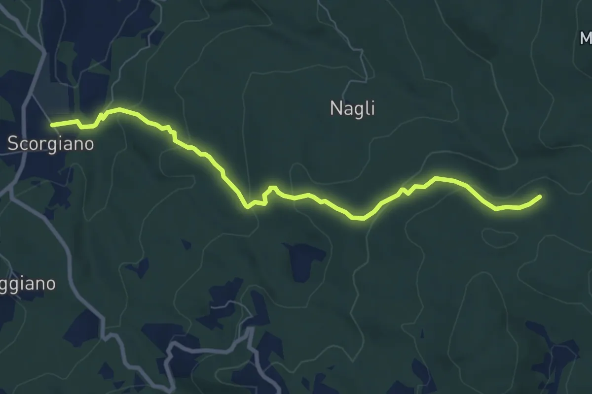
Easy · Trail
Scorgiano – Casa Alteri
7.9 km · ↑ 315 m · 2 h 33 min · 11 km away
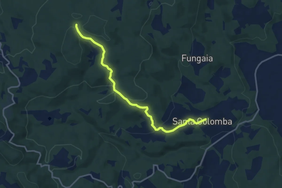
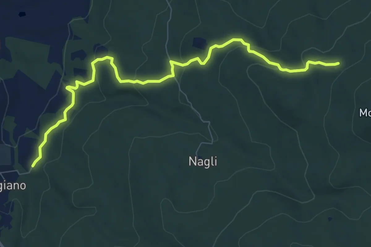
Medium · Trail
San Colomba – Innesto sentiero 100
9.1 km · ↑ 252 m · 2 h 42 min · 11 km away
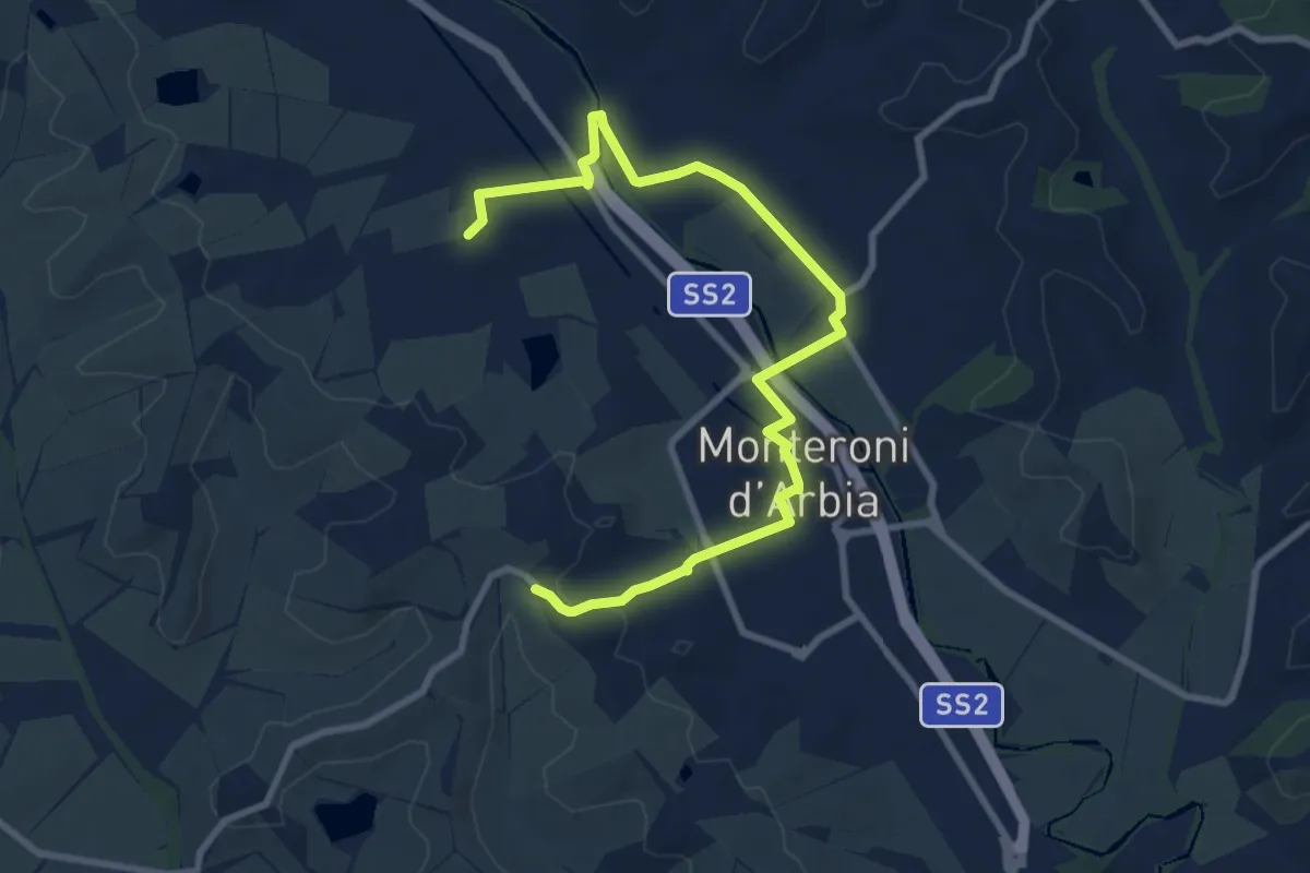
Medium · Trail
Scorgiano – Casa Giubileo
9.2 km · ↑ 332 m · 2 h 53 min · 12 km away
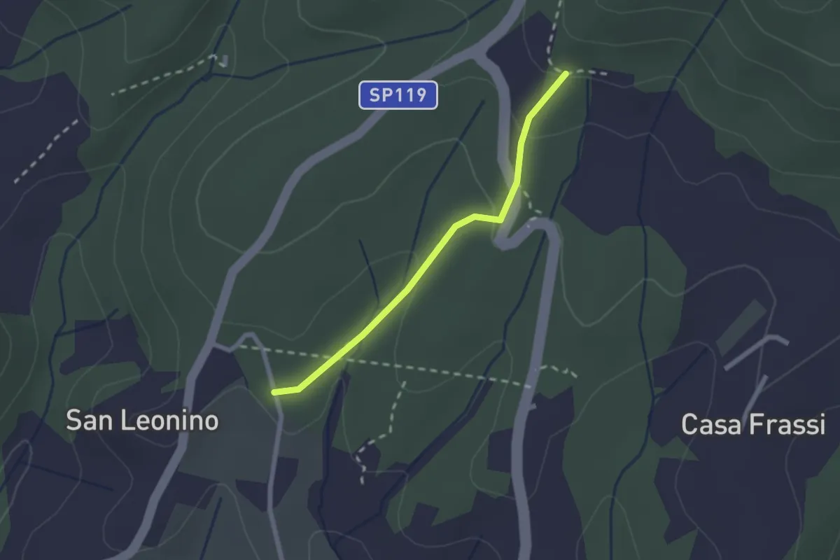
Medium · Trail
500a Variante Cuna-Monteroni d'Arbia
10.8 km · ↑ 80 m · 2 h 43 min · 12 km away
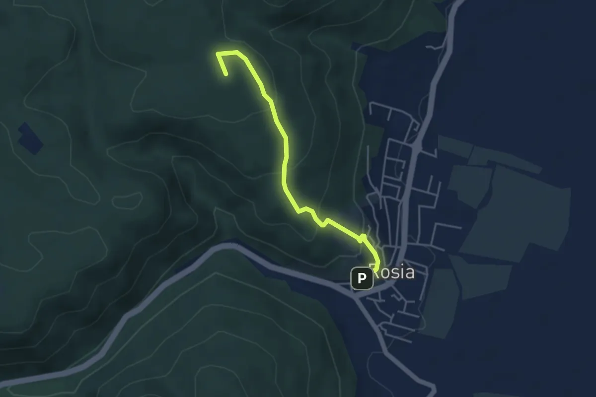
Easy · Trail
San Leonino – Via Romea Sanese
2.0 km · ↑ 78 m · 39 min · 12 km away
Easy · Summit
Rosia – Tonni
4.0 km · ↑ 221 m · 1 h 25 min · 12 km away
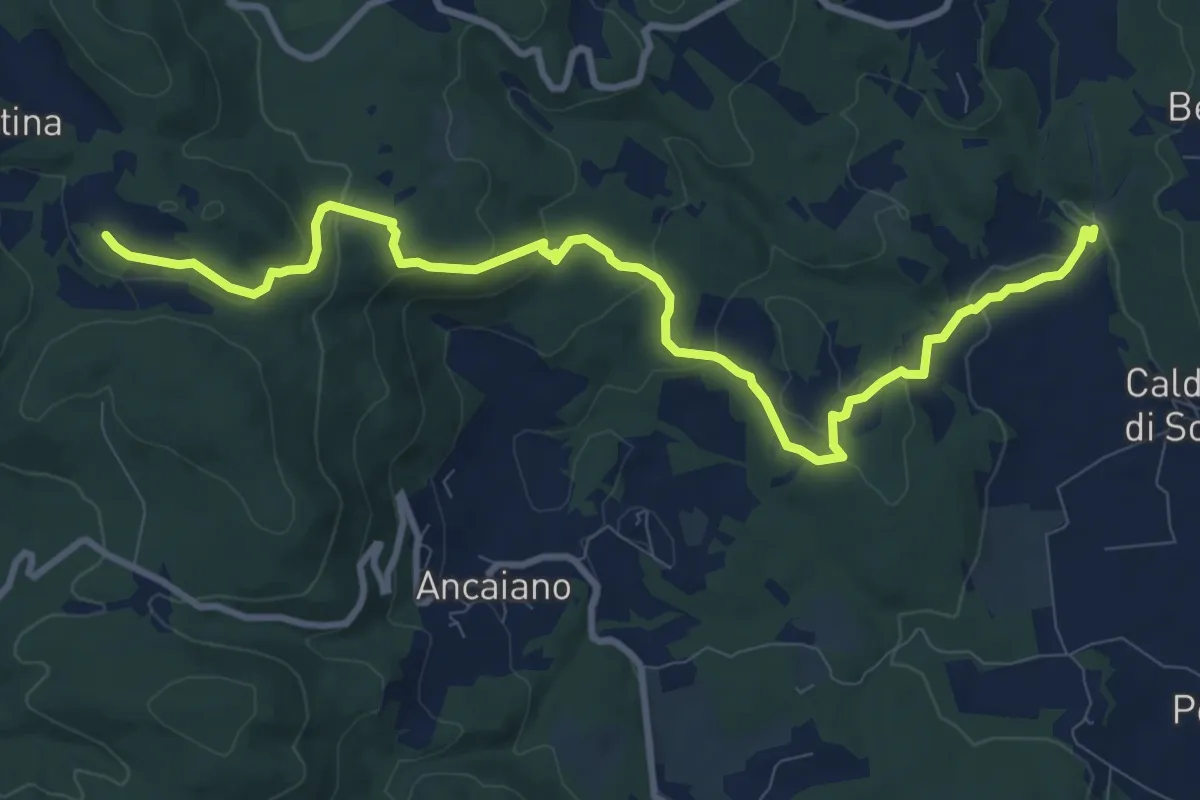
Medium · Trail
Podere Ripostena – Podere Morra
12.0 km · ↑ 365 m · 3 h 38 min · 12 km away
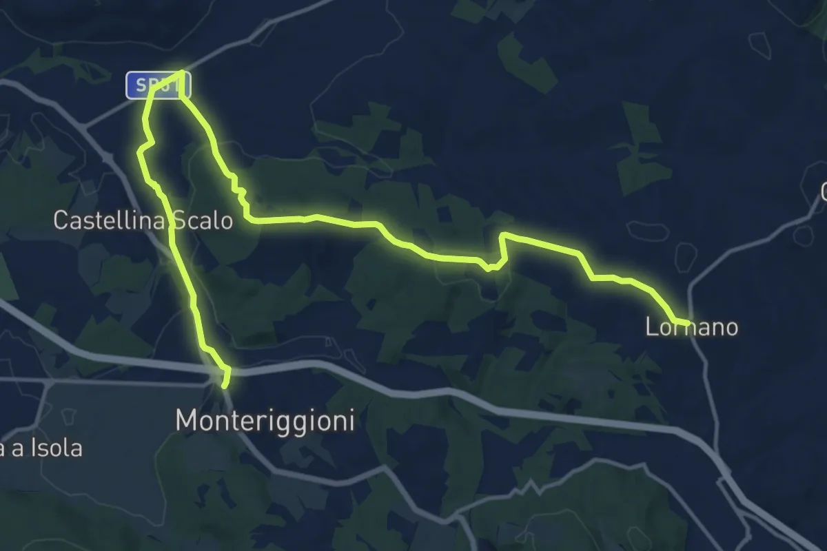
Demanding · Trail
Lornano – Monteriggioni
18.6 km · ↑ 281 m · 5 h · 12 km away
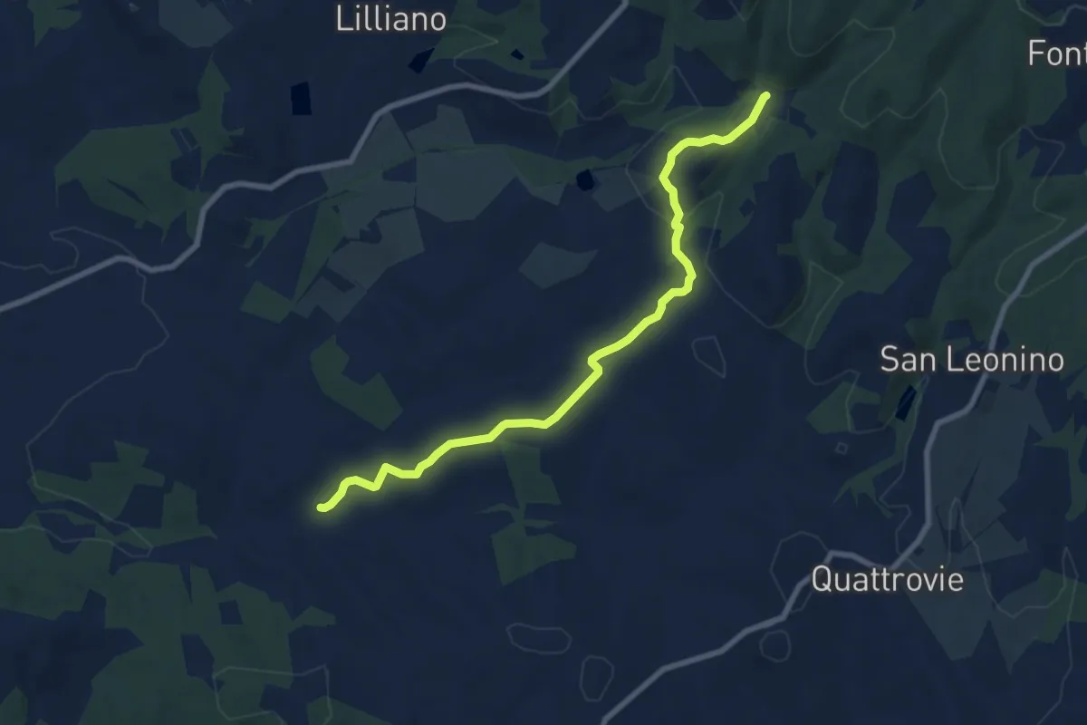
Medium · Trail
Quornia – San Jacopo
8.8 km · ↑ 206 m · 2 h 31 min · 12 km away
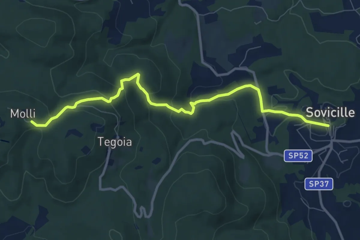
Medium · Trail
Sovicille – Pieve di Molli
8.8 km · ↑ 340 m · 2 h 49 min · 13 km away
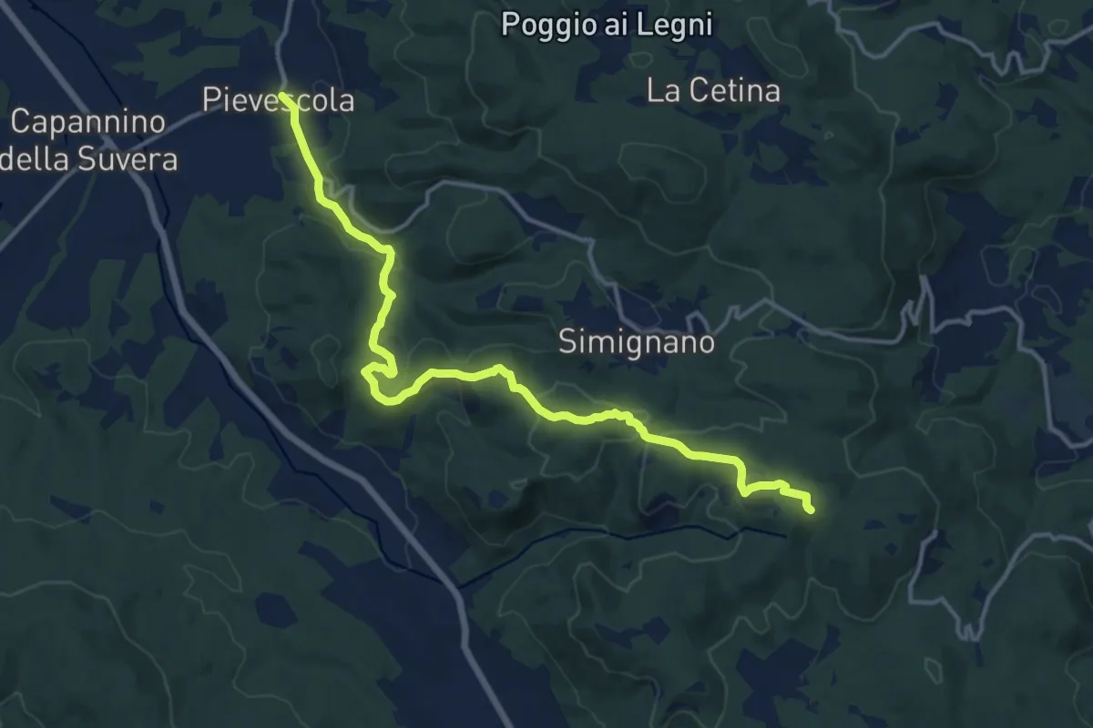
Medium · Trail
Pievescola – Pieve di Molli
15.8 km · ↑ 462 m · 4 h 43 min · 13 km away
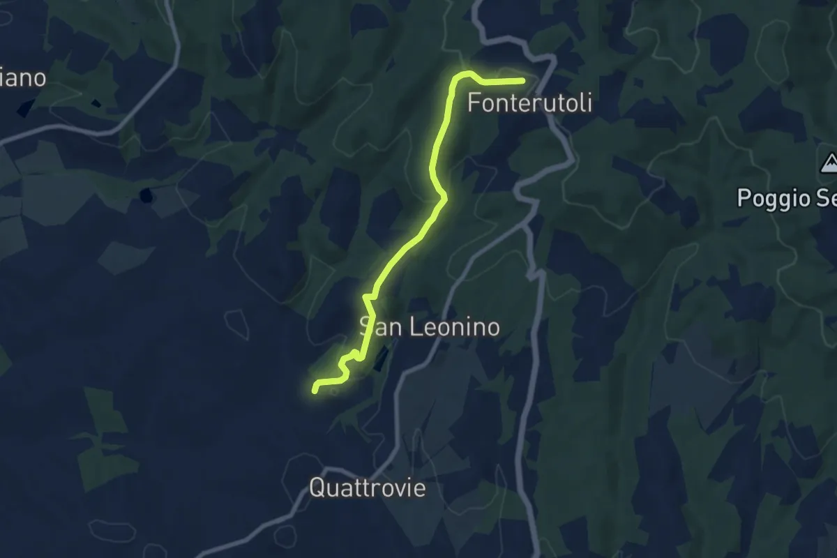
Easy · Trail
Fonterutoli – SC delle Masse
7.5 km · ↑ 251 m · 2 h 19 min · 13 km away
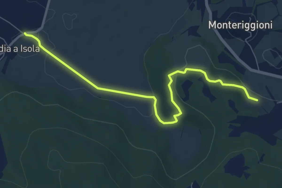
Easy · Trail
Abbadia a Isola – Il Mandorlo
7.1 km · ↑ 102 m · 1 h 54 min · 13 km away
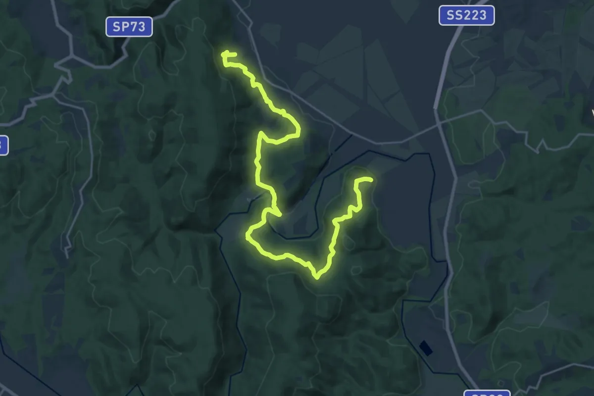
Demanding · Trail
Borghi Fiume Merse
24.6 km · ↑ 746 m · 7 h 26 min · 14 km away
Easy · Trail
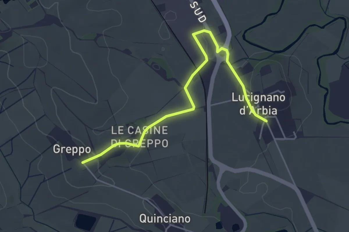
500b Deviazione Lucignano
4.8 km · ↑ 66 m · 1 h 17 min · 14 km away
Demanding · Summit
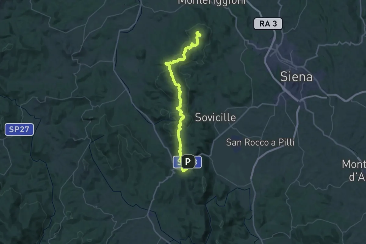
Monteriggioni – Ponte della Pia
44.9 km · ↑ 1023 m · 12 h 49 min · 14 km away
Medium · Trail
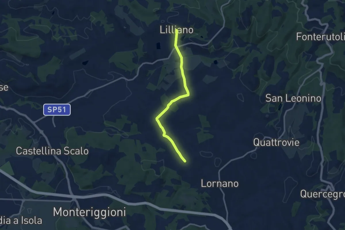
Torrente Gena – Lilliano
9.3 km · ↑ 210 m · 2 h 38 min · 15 km away
Easy · Trail
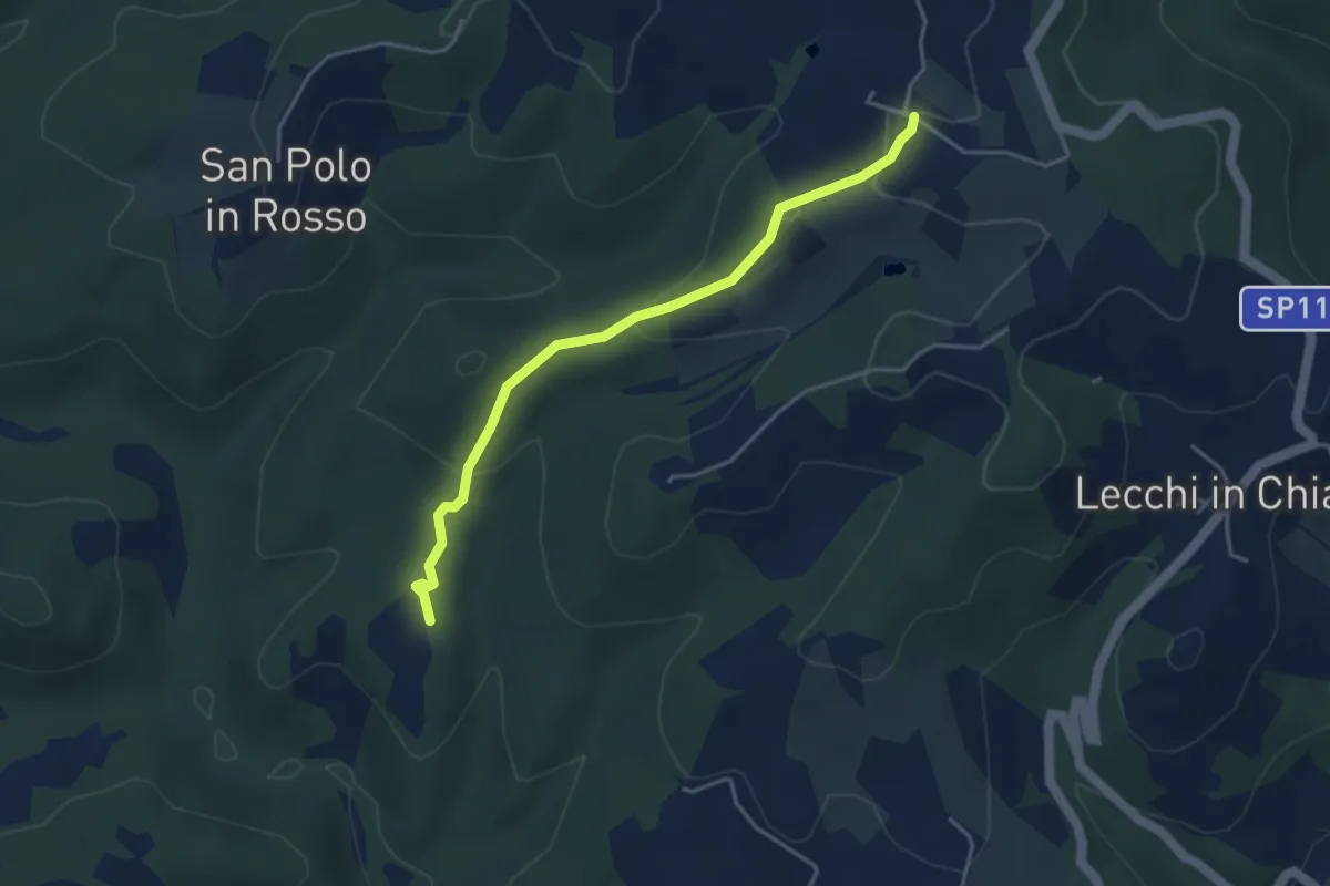
Trekking tra i castelli 11B
4.1 km · ↑ 137 m · 1 h 16 min · 15 km away
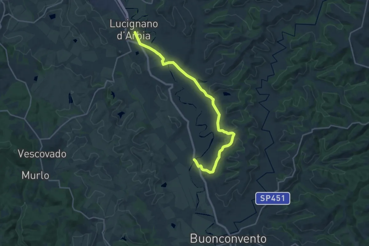
Demanding · Trail
Lucignano d'Arbia – Ponte d'Arbia
18.5 km · ↑ 247 m · 4 h 54 min · 15 km away
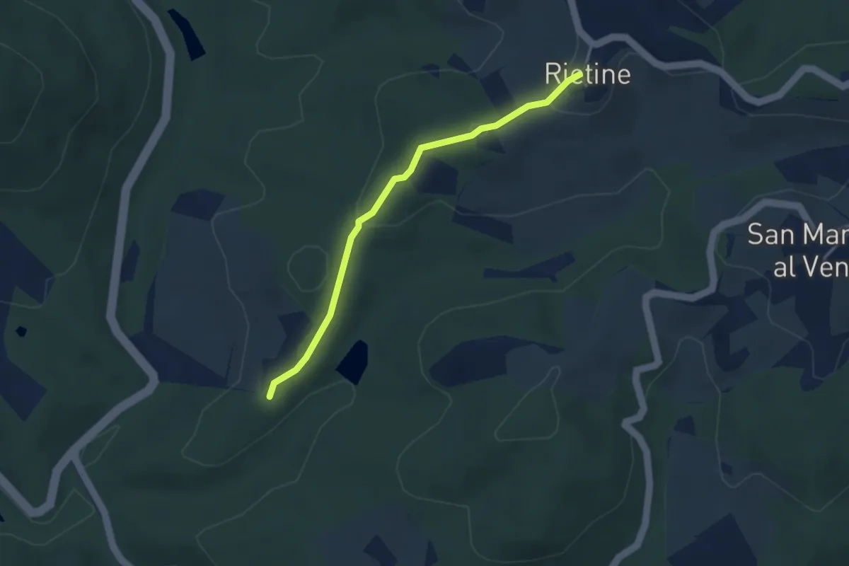
Easy · Trail
Trekking tra i castelli 9C
3.2 km · ↑ 92 m · 57 min · 15 km away
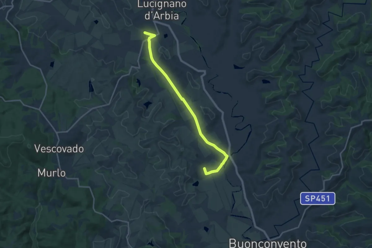
Medium · Trail
500c Variante Quinciano- Ponte d'Arbia
14.0 km · ↑ 69 m · 3 h 27 min · 15 km away