Trails near Signa
93 hikes starting within 15 km, nearest first.
Nearest first, page 2 of 2
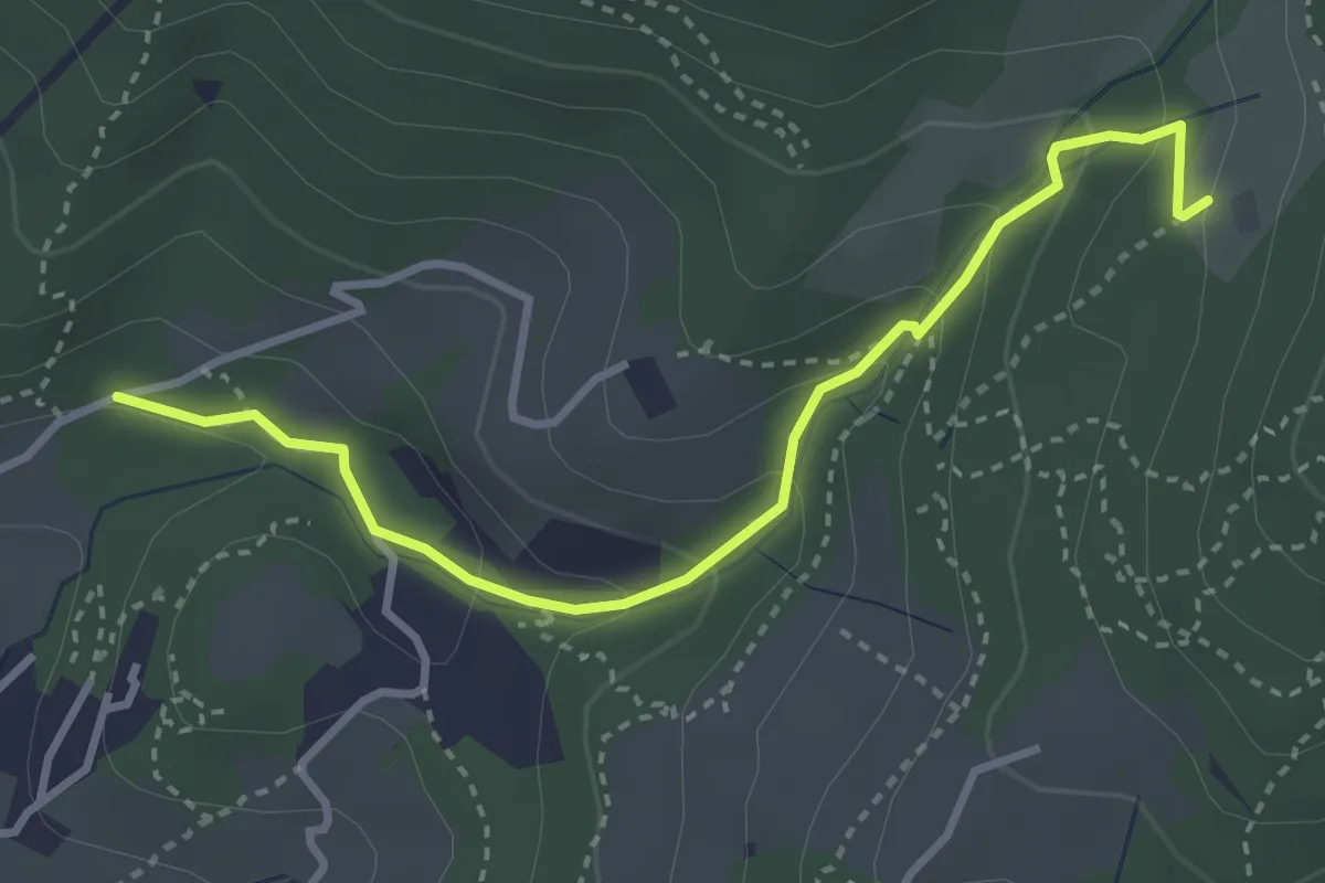
Easy · Trail
Colonnata – Carmignanello
3.6 km · ↑ 202 m · 1 h 18 min · 12 km away
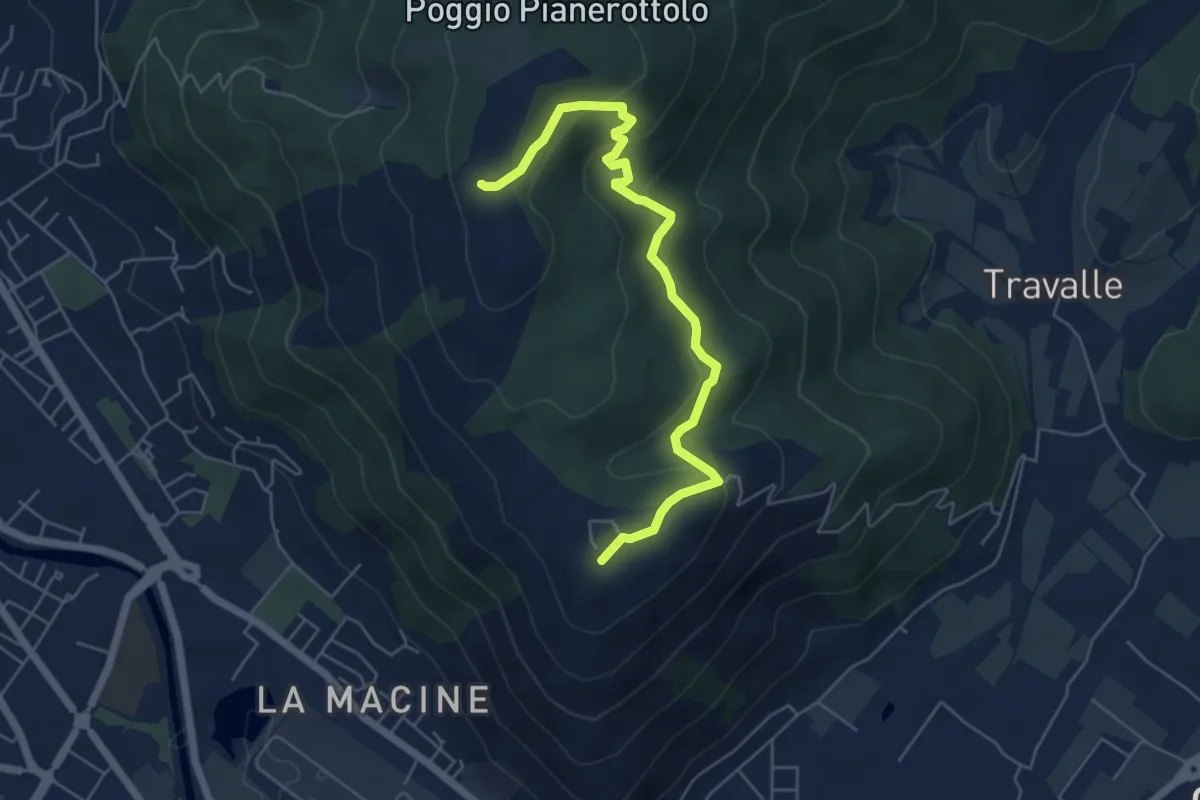
Easy · Summit
Case Castiglione – Casa Rossa
6.2 km · ↑ 273 m · 2 h 3 min · 12 km away
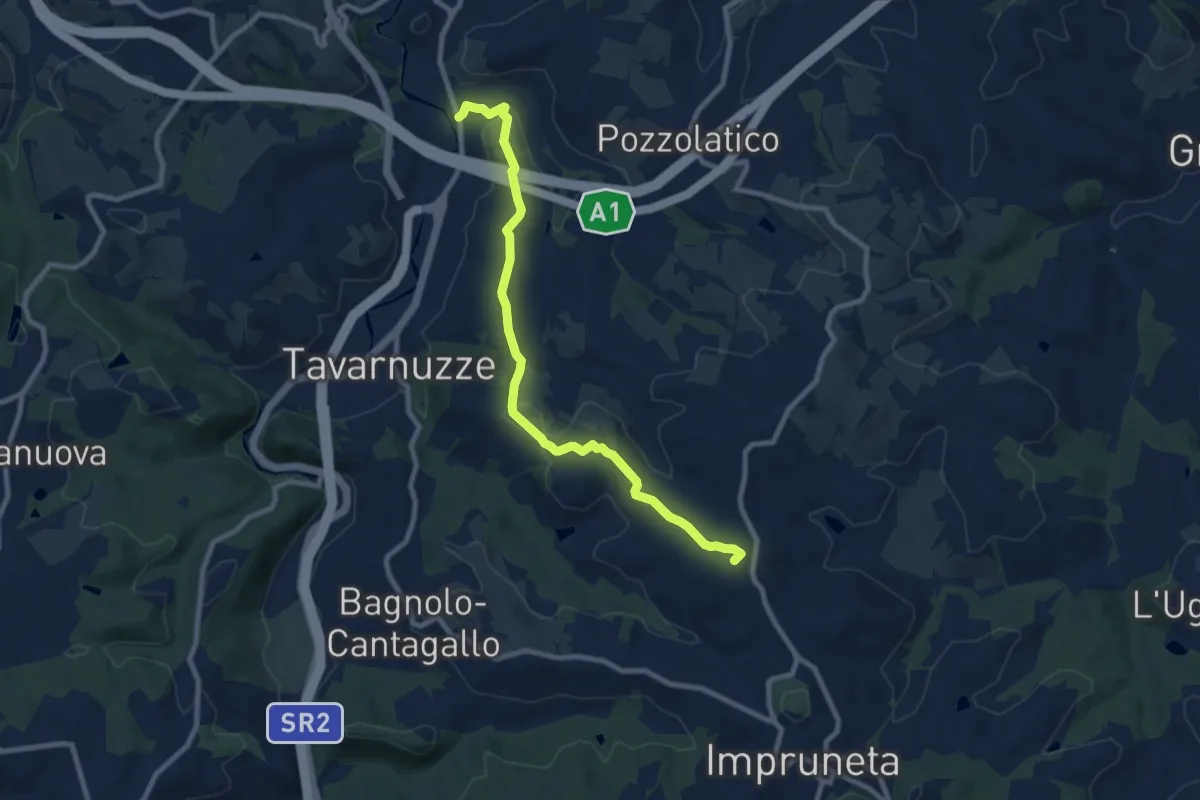
Medium · Summit
Bottai – Impruneta
9.6 km · ↑ 257 m · 2 h 50 min · 12 km away
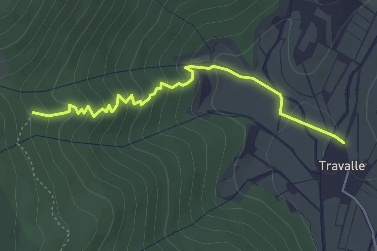
Easy · Trail
Travalle – Casa Villanova
4.0 km · ↑ 261 m · 1 h 30 min · 12 km away
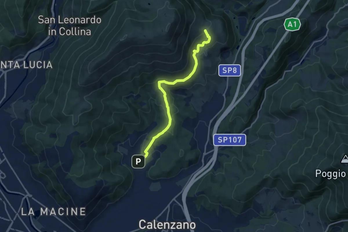
Medium · Summit
Sentiero della Pace
11.4 km · ↑ 392 m · 3 h 32 min · 12 km away
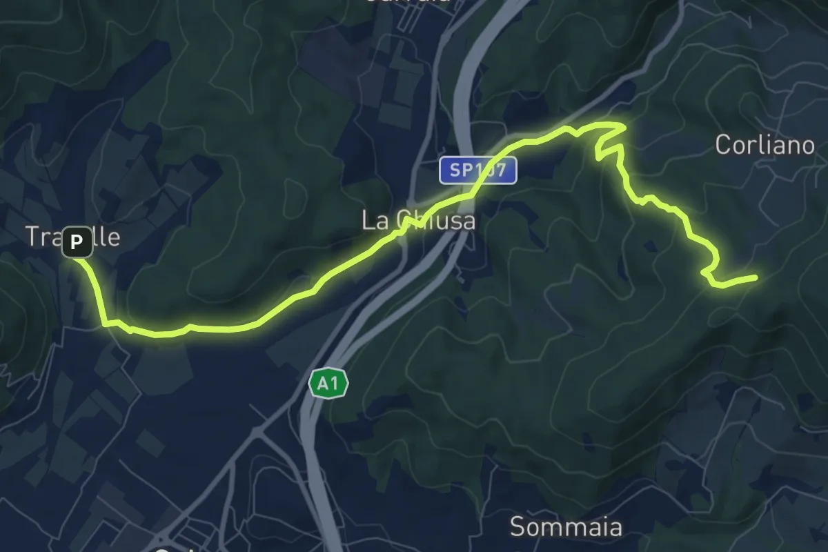
Medium · Trail
La Chiusa – Incrocio sent. 609
11.7 km · ↑ 369 m · 3 h 33 min · 12 km away
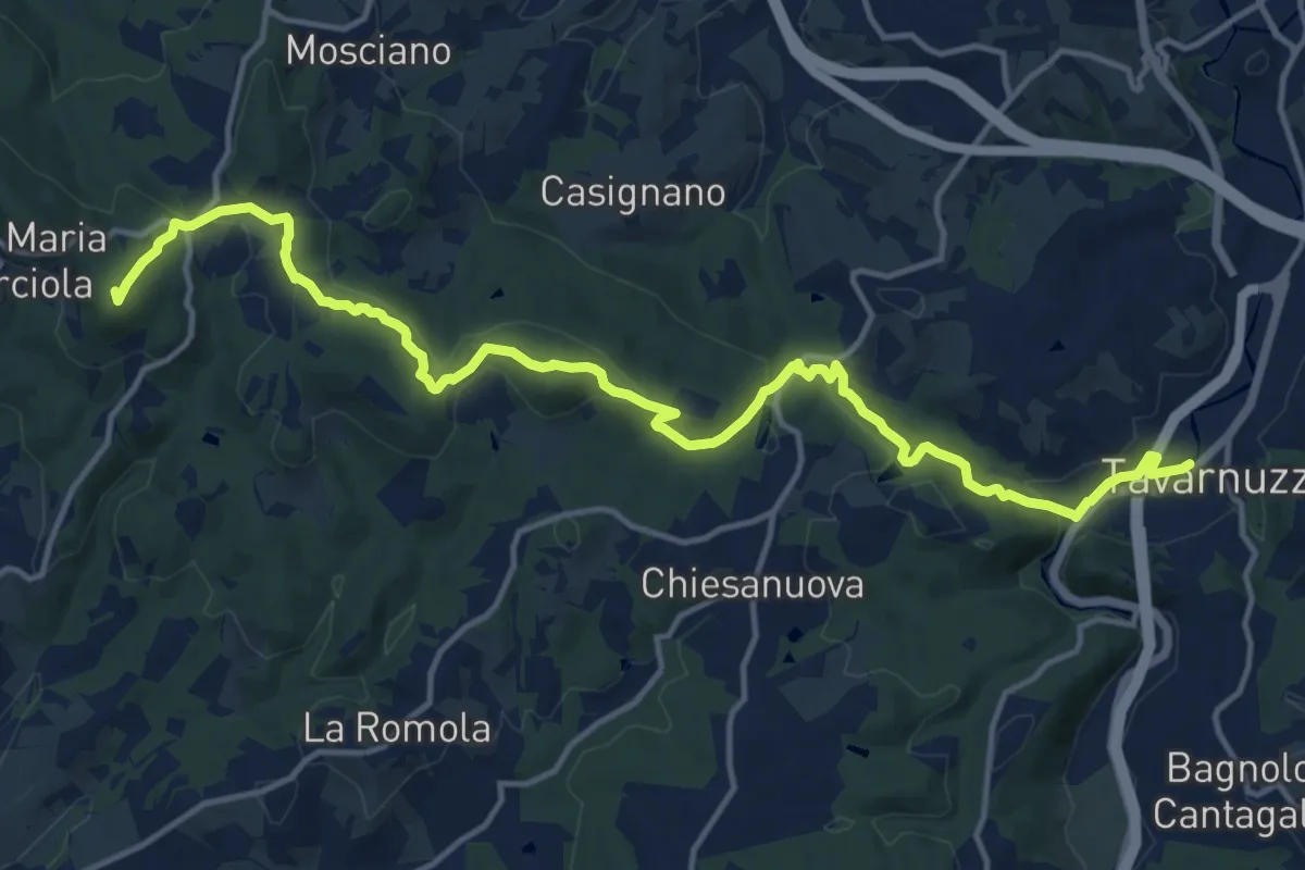
Medium · Summit
Lastra a Signa – Tavarnuzze
17.9 km · ↑ 527 m · 5 h 22 min · 12 km away
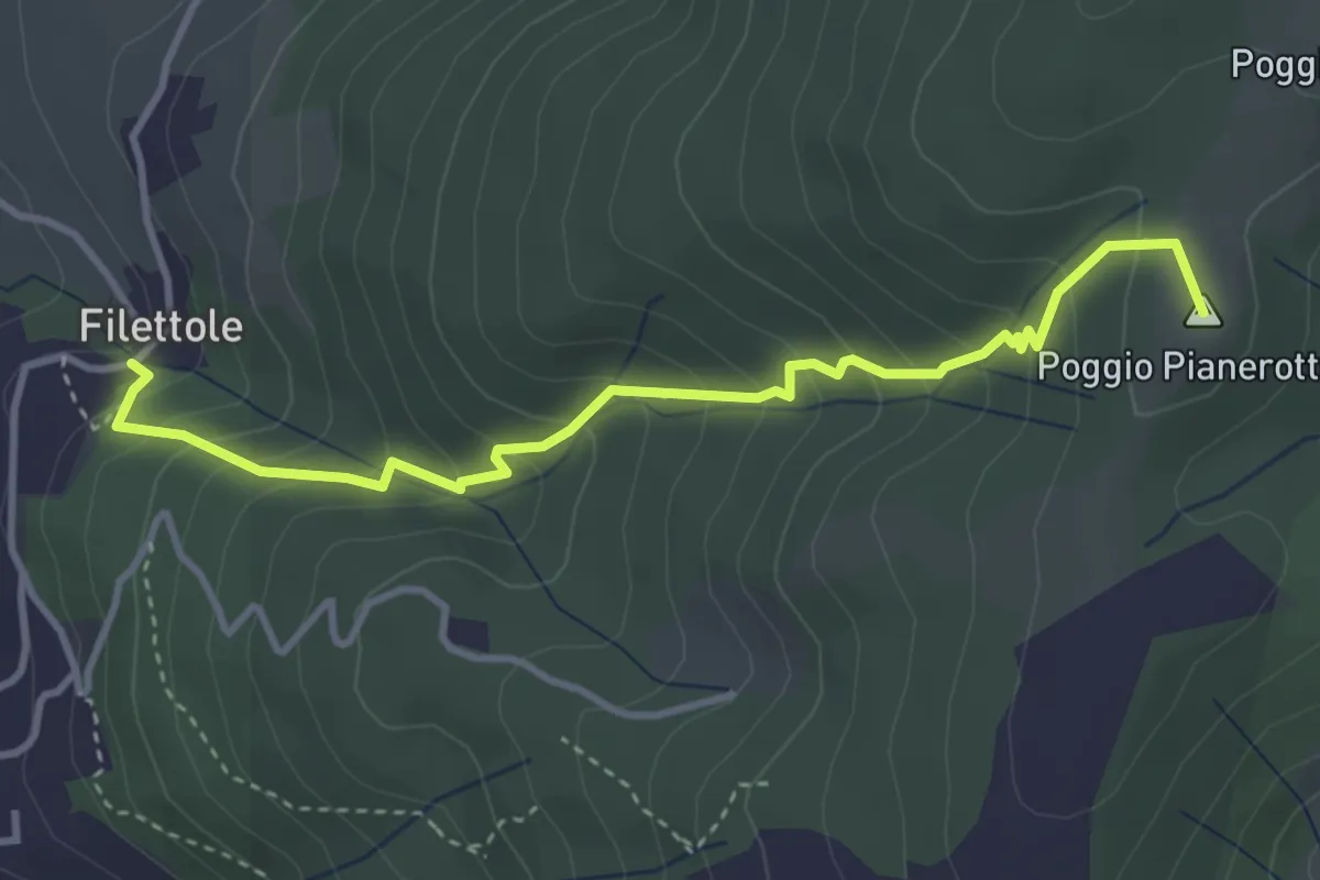
Medium · Summit
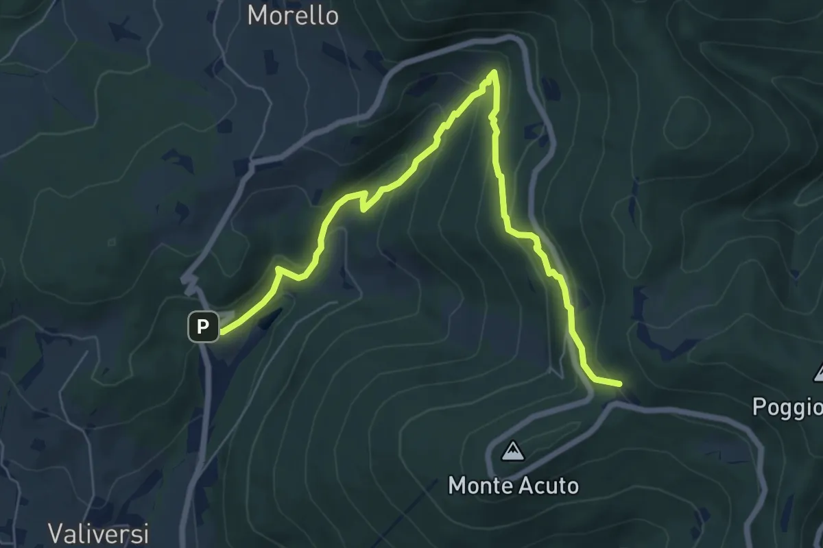
Filettole – Via di Travalle
4.1 km · ↑ 363 m · 1 h 45 min · 12 km away
Medium · Trail
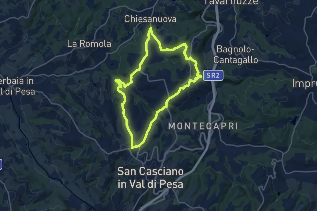
Via del Polverificio – Fonte dei Seppi
7.9 km · ↑ 454 m · 2 h 51 min · 13 km away
Medium · Trail
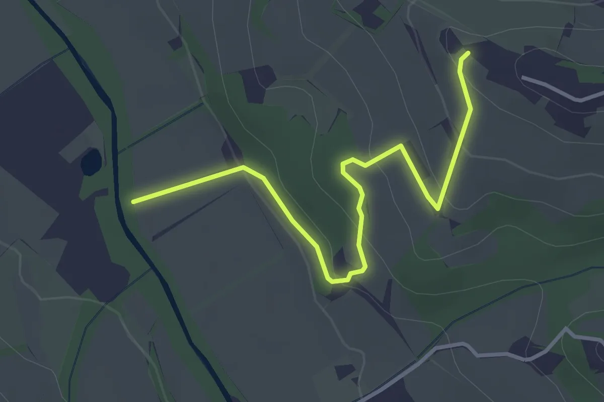
Anello del Principe
12.6 km · ↑ 326 m · 3 h 51 min · 13 km away
Easy · Trail
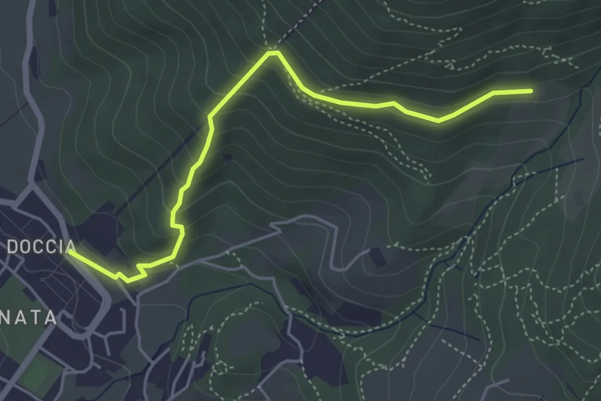
Colombaia – Torrente Pesa
3.7 km · ↑ 133 m · 1 h 10 min · 13 km away
Easy · Trail
Colonnata – Casa Solatio
4.7 km · ↑ 288 m · 1 h 45 min · 13 km away
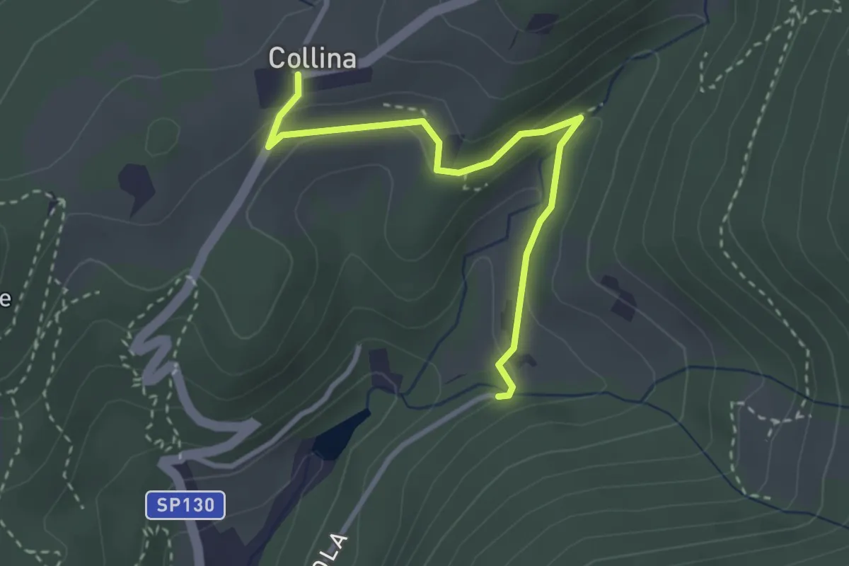
Easy · Trail
Via di Isola – Collina
3.1 km · ↑ 95 m · 56 min · 13 km away
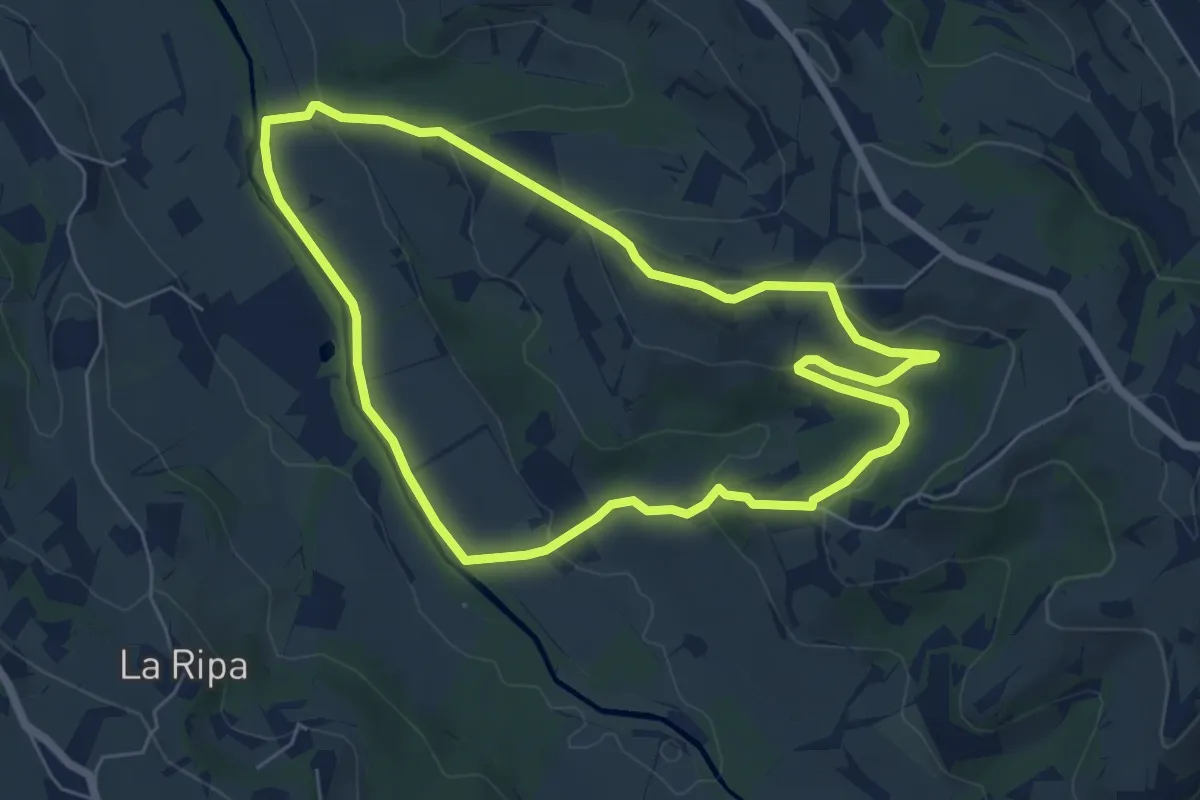
Easy · Trail
Anello di Montepaldi
6.4 km · ↑ 171 m · 1 h 59 min · 13 km away
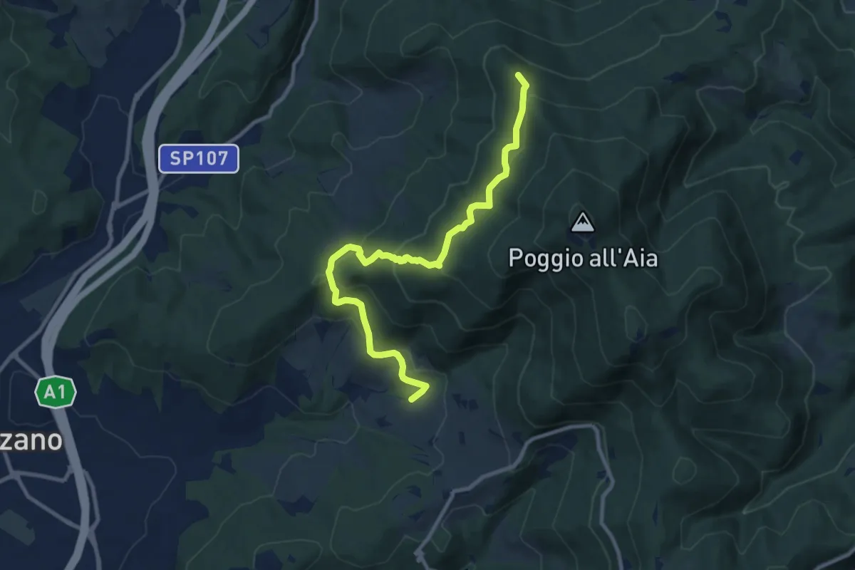
Medium · Summit
Ponte sul Chiosina – Poggio Leccio (m. 590 sent. 8 e 8B)
10.4 km · ↑ 614 m · 3 h 48 min · 14 km away
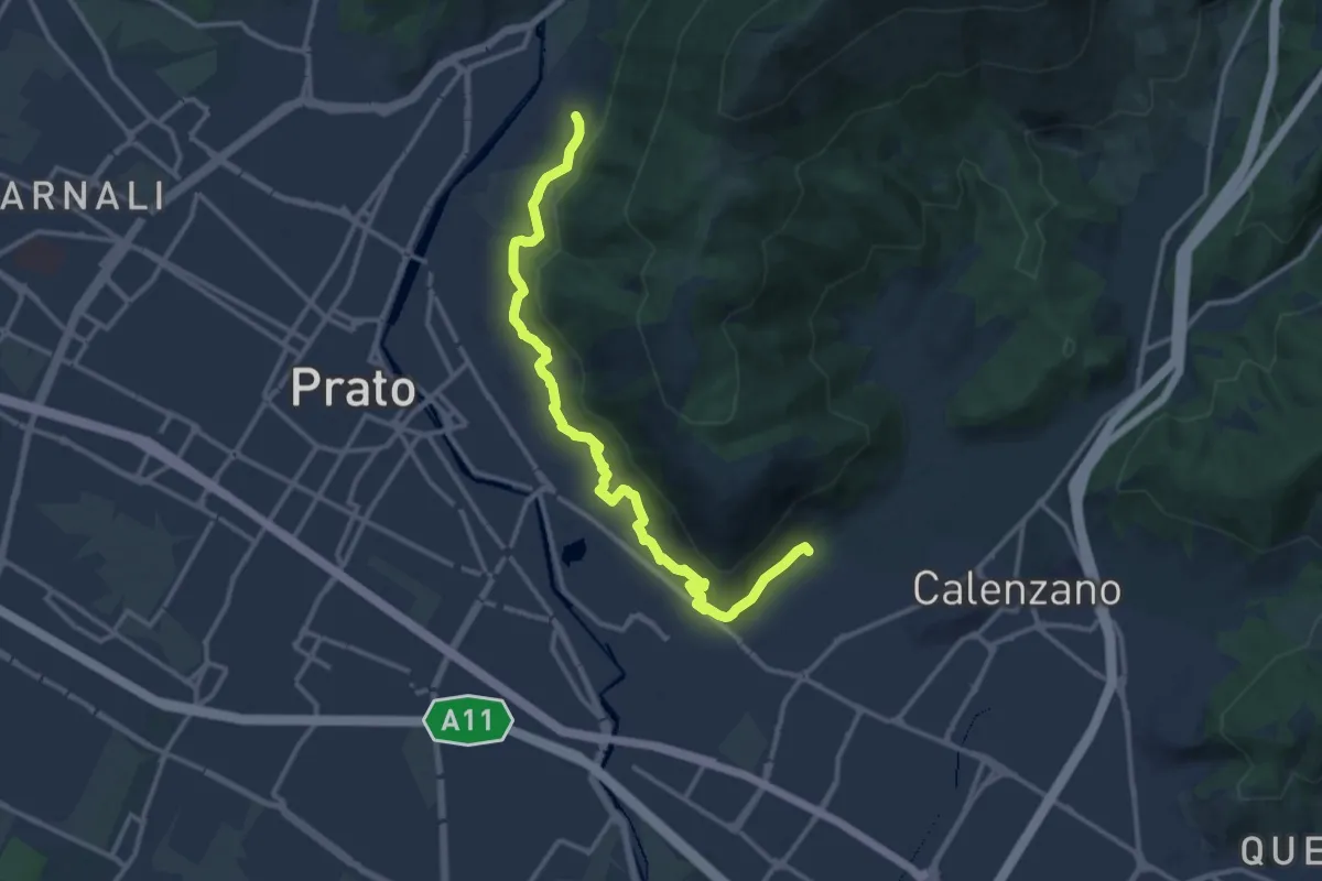
Medium · Trail
Percorso pedecollinare
15.0 km · ↑ 490 m · 4 h 36 min · 14 km away
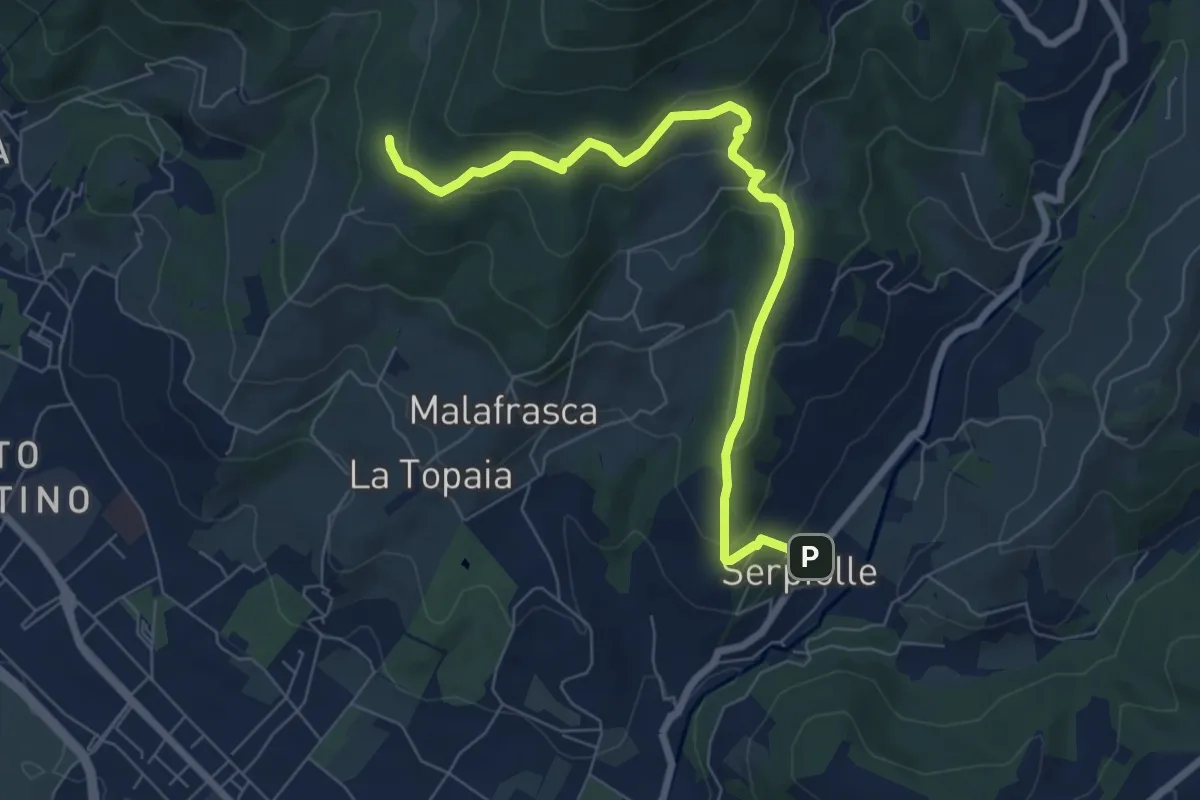
Medium · Trail
Serpiolle – Quota 328 sentiero 4
7.9 km · ↑ 360 m · 2 h 39 min · 14 km away
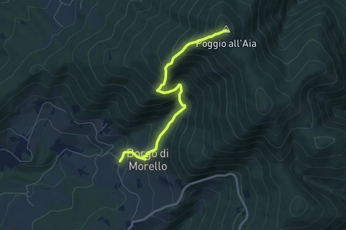
Medium · Summit
Morello – Poggio all'Aia
6.3 km · ↑ 665 m · 2 h 55 min · 14 km away
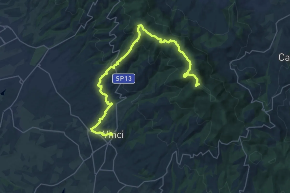
Demanding · Summit
Tappa 3: Bacchereto - Vinci
23.1 km · ↑ 847 m · 7 h 17 min · 14 km away
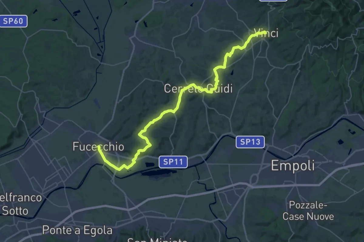
Medium · Trail
Tappa 4: Vinci - Fucecchio
17.7 km · ↑ 294 m · 5 h 5 min · 14 km away
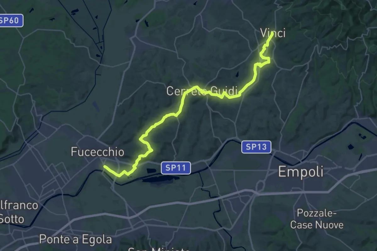
Medium · Trail
Tappa 1 - Da Fucecchio a Vinci
17.5 km · ↑ 243 m · 4 h 57 min · 14 km away
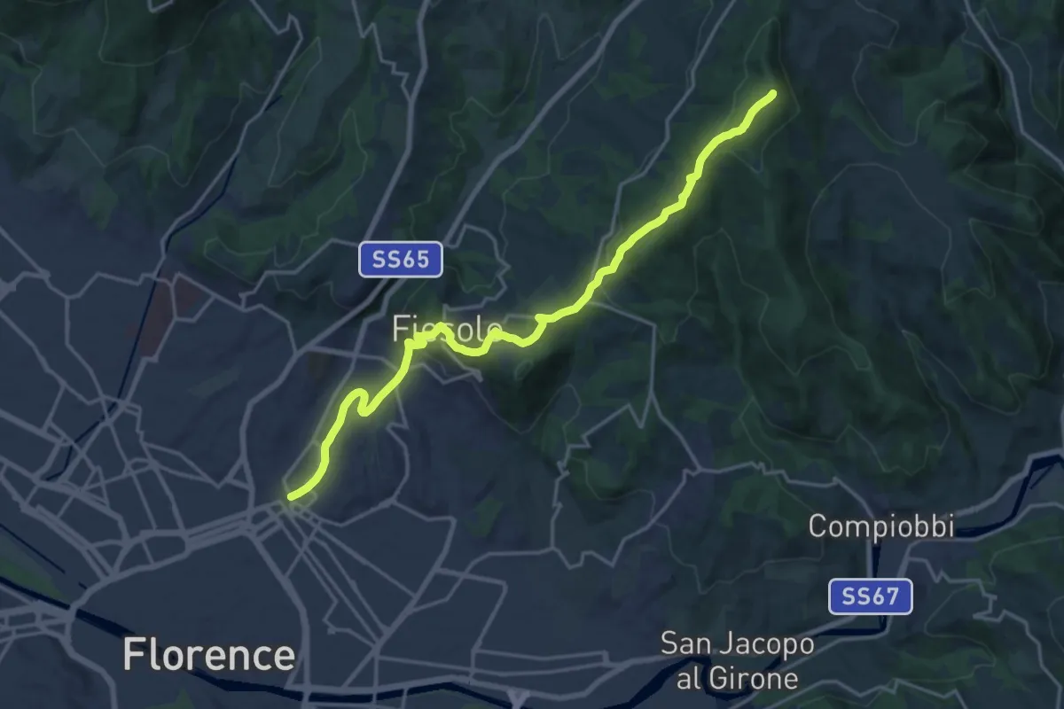
Demanding · Summit
Via degli Dei: Tappa 6
20.1 km · ↑ 708 m · 6 h 17 min · 14 km away
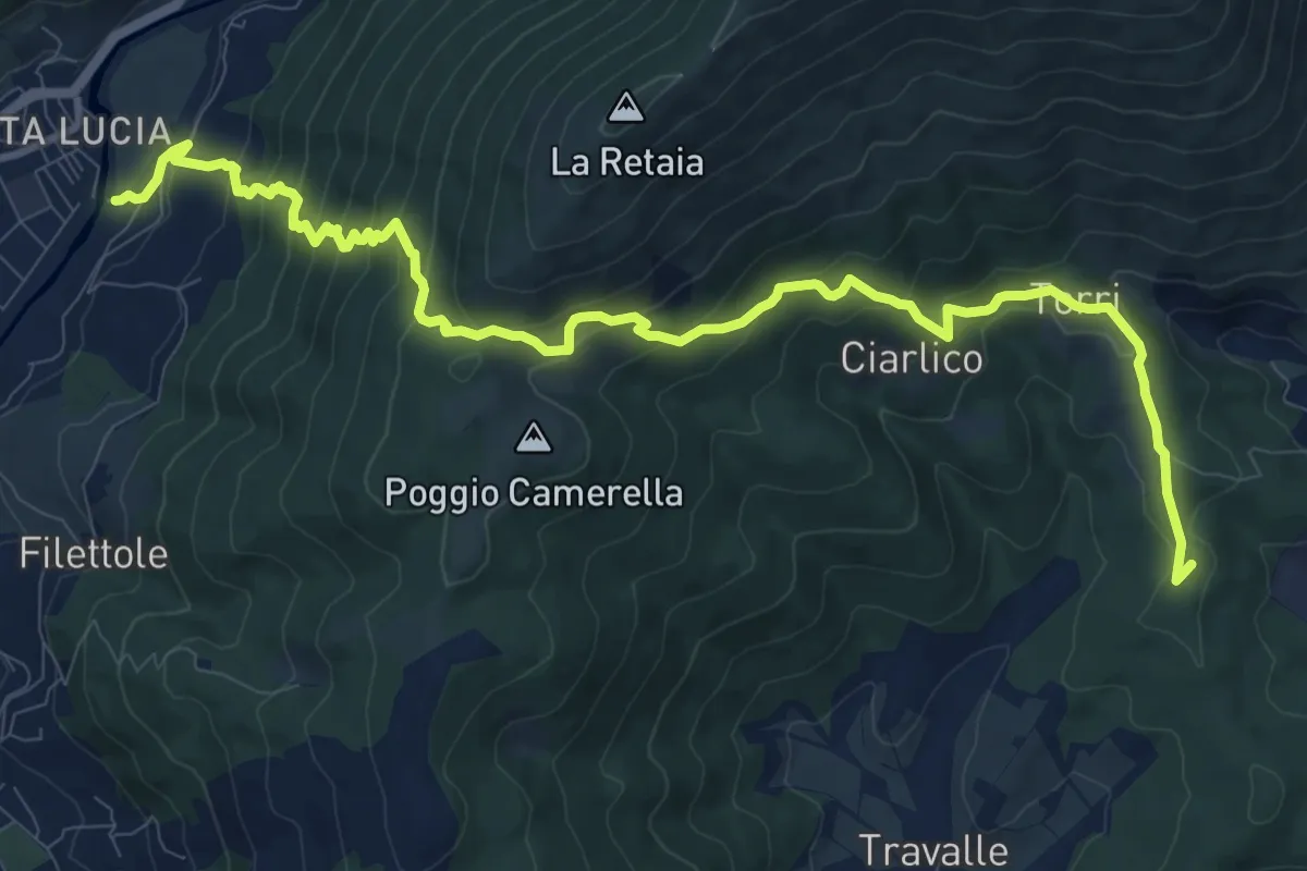
Demanding · Summit
Passerella S. Lucia – Travalle
13.6 km · ↑ 944 m · 5 h 15 min · 14 km away
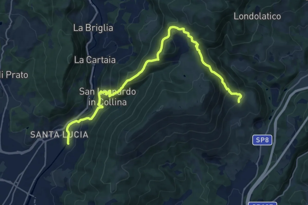
Demanding · Summit
Passerella S. Lucia – Carraia
19.5 km · ↑ 984 m · 6 h 44 min · 14 km away
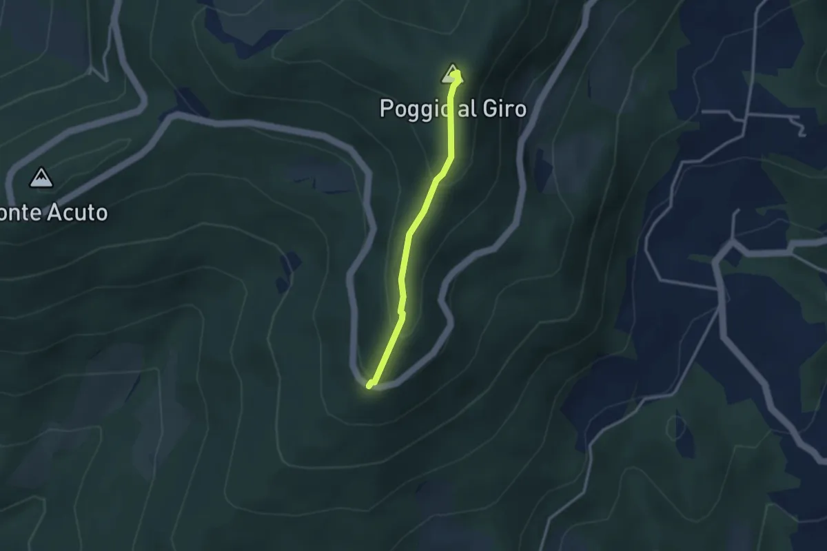
Easy · Summit
Piazzale L. da Vinci – Poggio al Giro
2.4 km · ↑ 164 m · 56 min · 14 km away
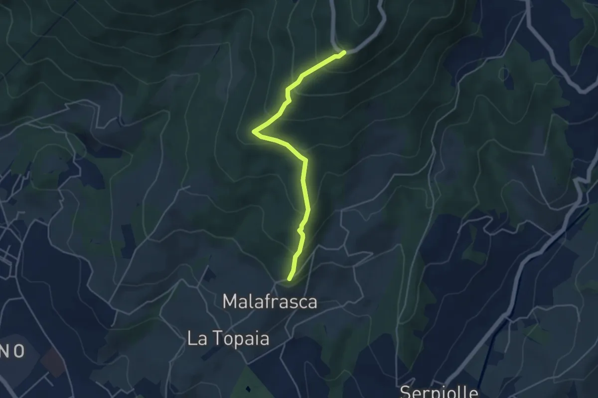
Medium · Trail
Via di Malafrasca – Piazzale L. da Vinci
4.2 km · ↑ 329 m · 1 h 42 min · 14 km away
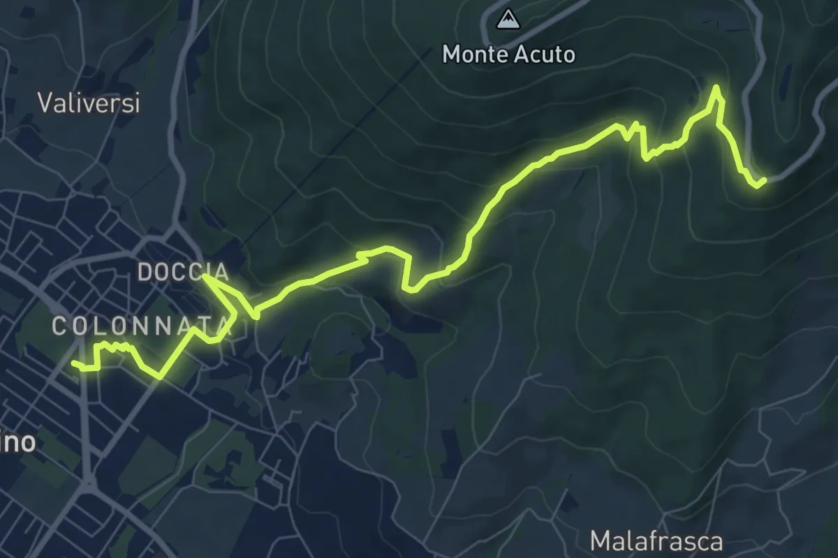
Medium · Trail
Colonnata – Piazzale Leonardo da Vinci
10.9 km · ↑ 516 m · 3 h 41 min · 14 km away
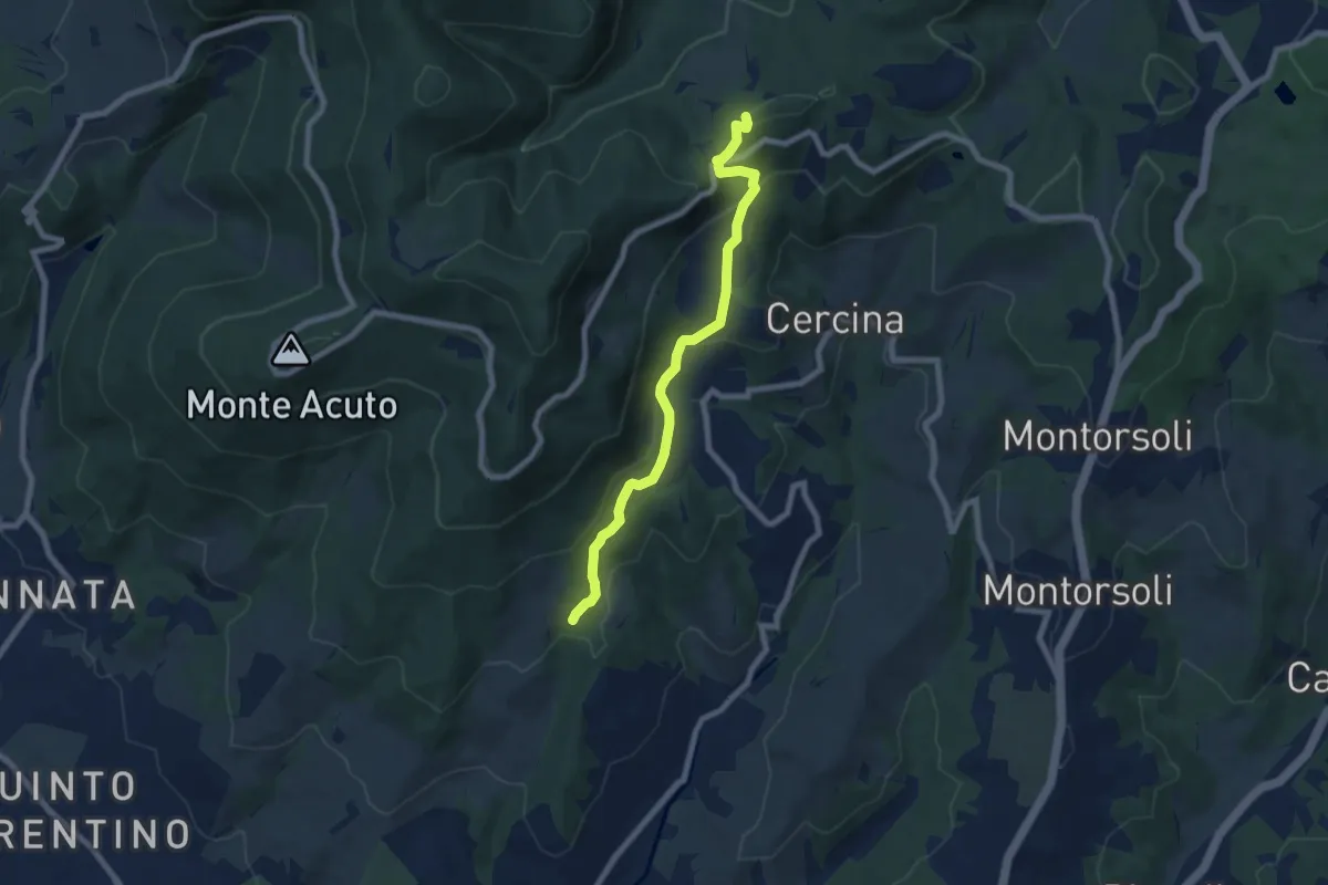
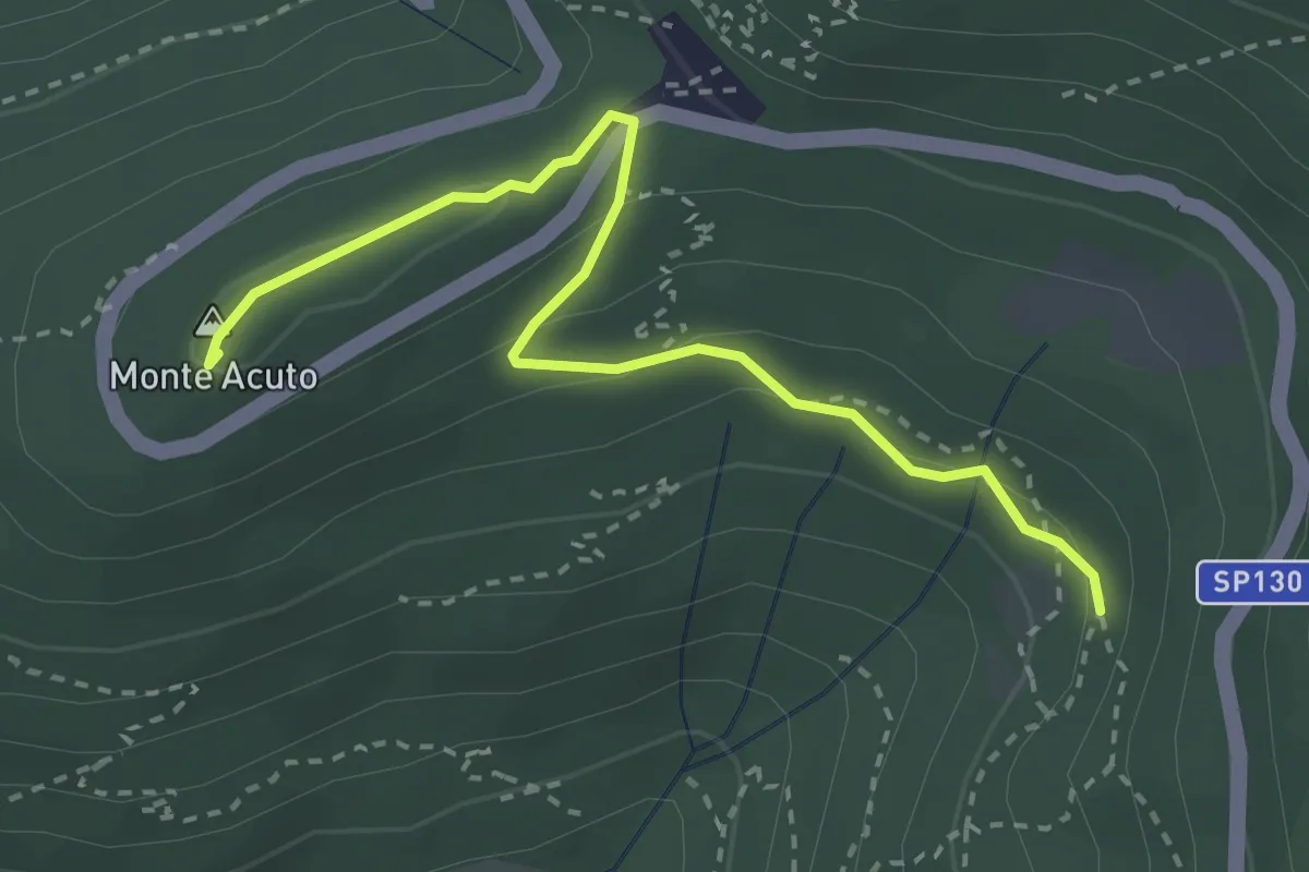
Medium · Summit
Percorso 5 – Caselline
7.5 km · ↑ 344 m · 2 h 31 min · 14 km away
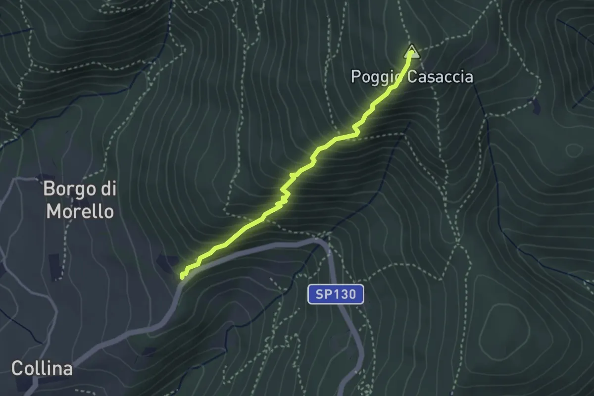
Medium · Summit
Incrocio sentiero 3 – Incrocio sentiero 602
3.3 km · ↑ 101 m · 59 min · 14 km away
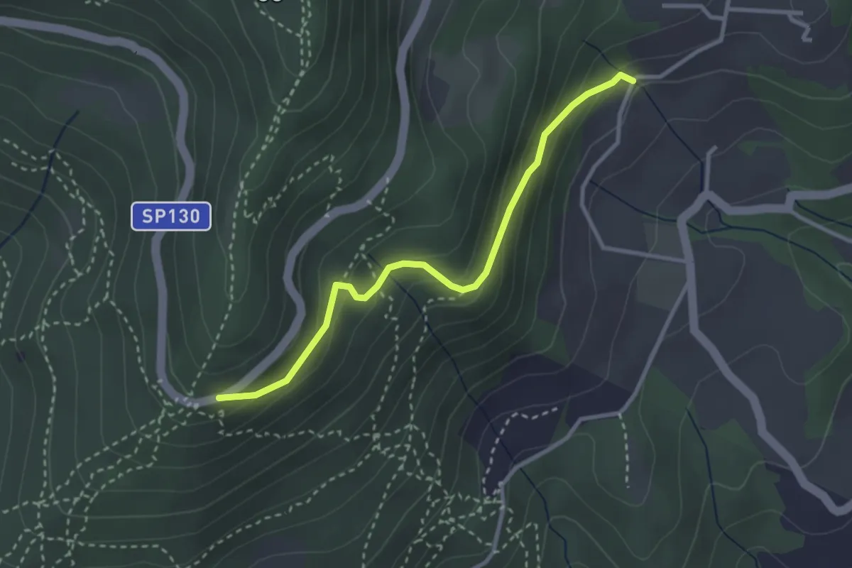
Demanding · Summit
Sentiero del Pensionato
3.2 km · ↑ 469 m · 1 h 46 min · 14 km away
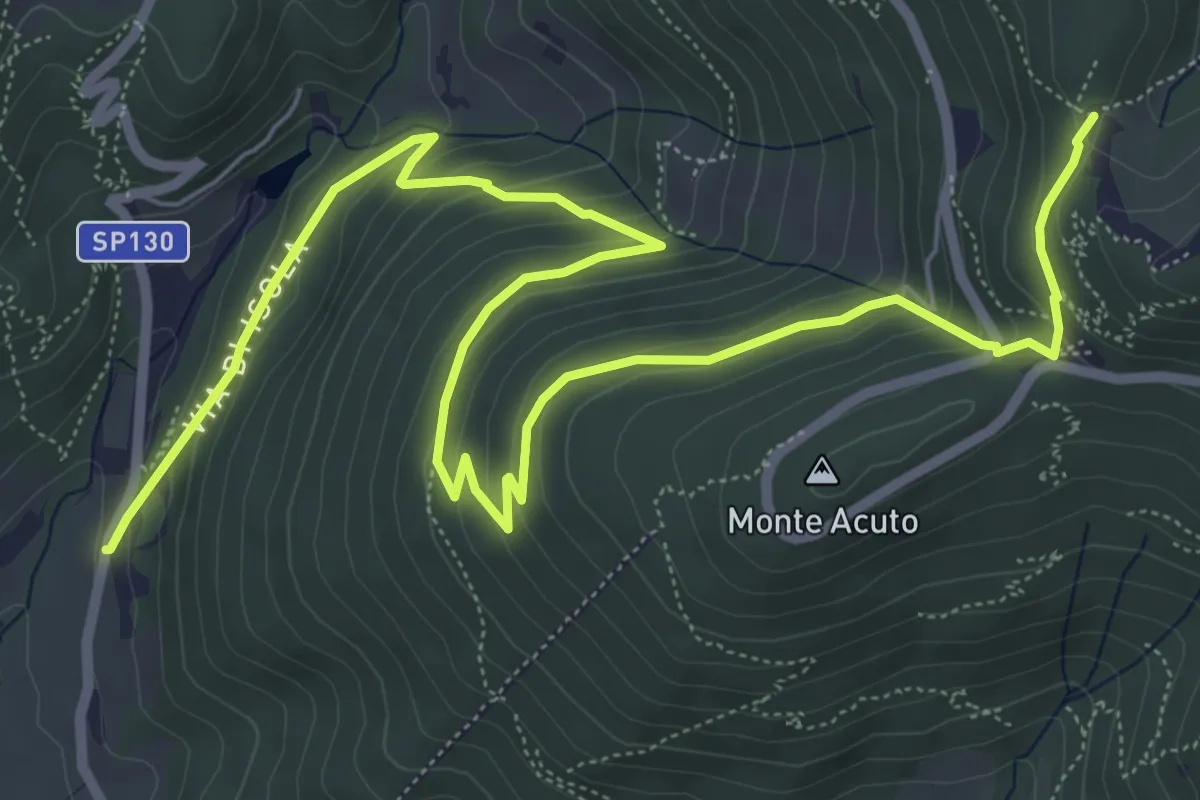
Easy · Trail
Piazzale Leonardo da Vinci – Podere Casaccia
3.1 km · ↑ 193 m · 1 h 9 min · 14 km away
Medium · Trail
Le Mulina – Sella degli Scollini
10.0 km · ↑ 503 m · 3 h 27 min · 14 km away
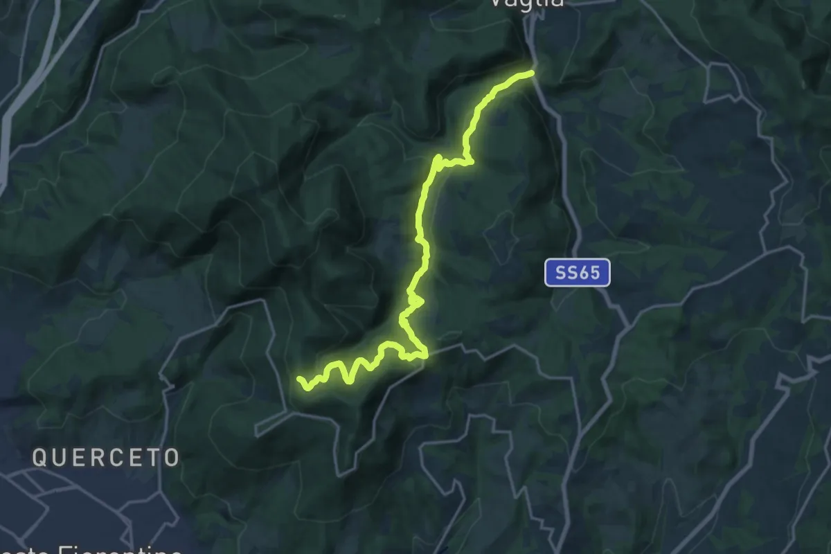
Demanding · Trail
S.S. 65 - Paterno – Sella degli Scollini
19.0 km · ↑ 751 m · 6 h 7 min · 14 km away
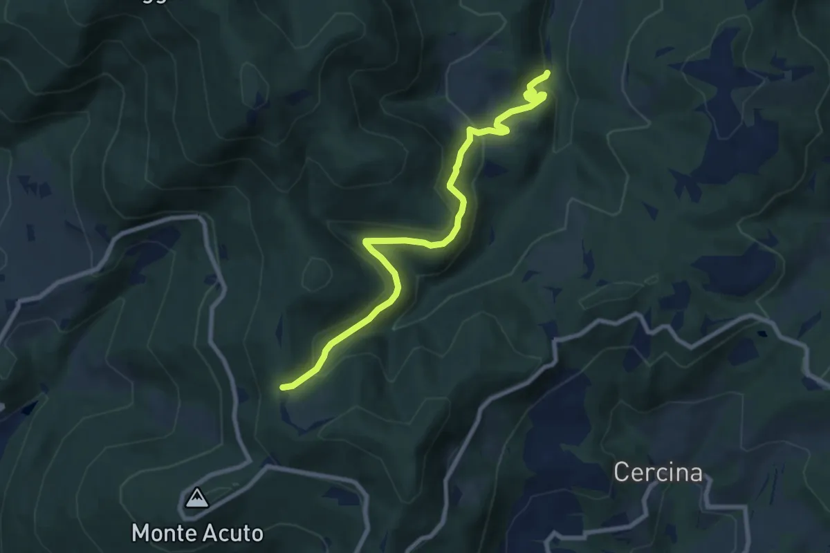
Medium · Trail
Percorso 6 – Sella degli Scollini
8.1 km · ↑ 399 m · 2 h 47 min · 14 km away
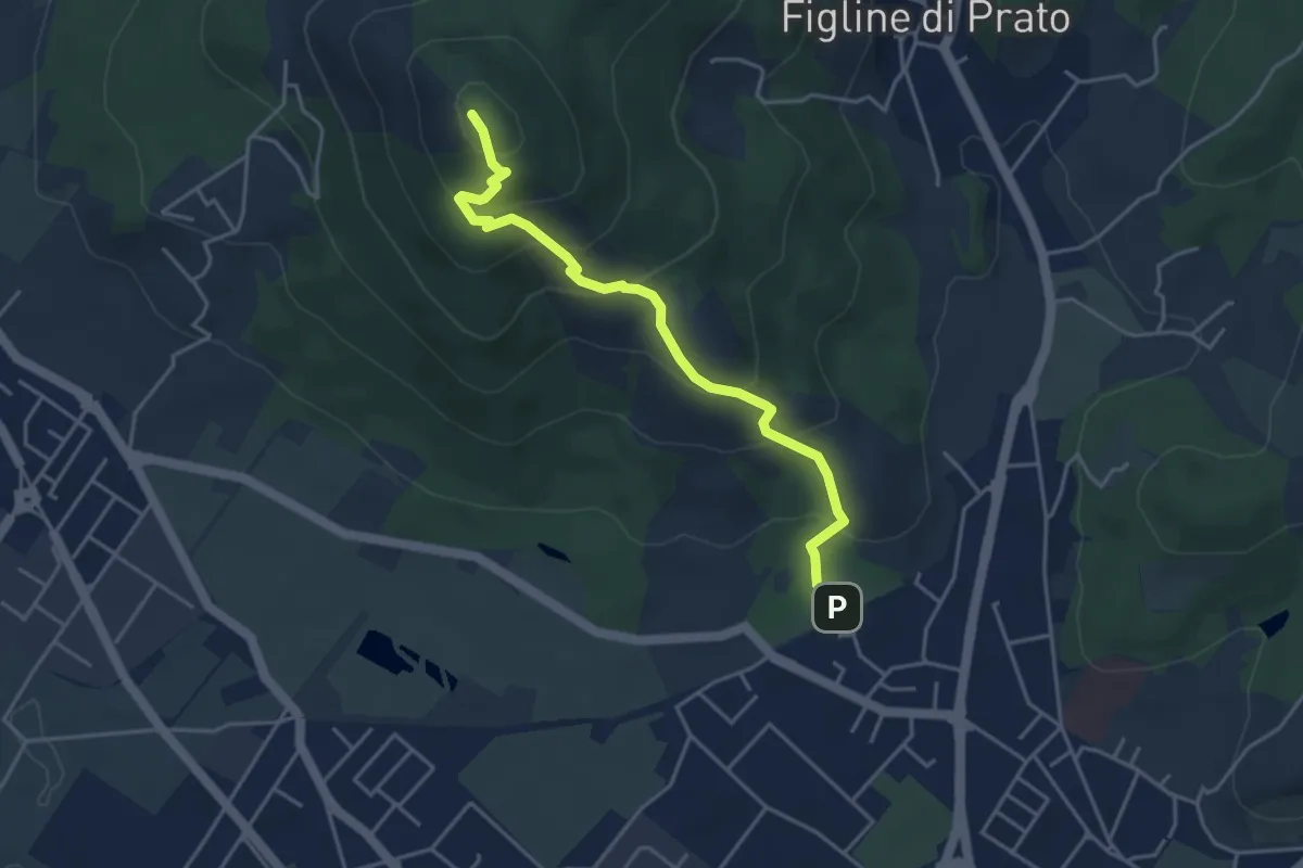
Medium · Summit
Galceti – Passo della Collina
4.4 km · ↑ 339 m · 1 h 47 min · 14 km away
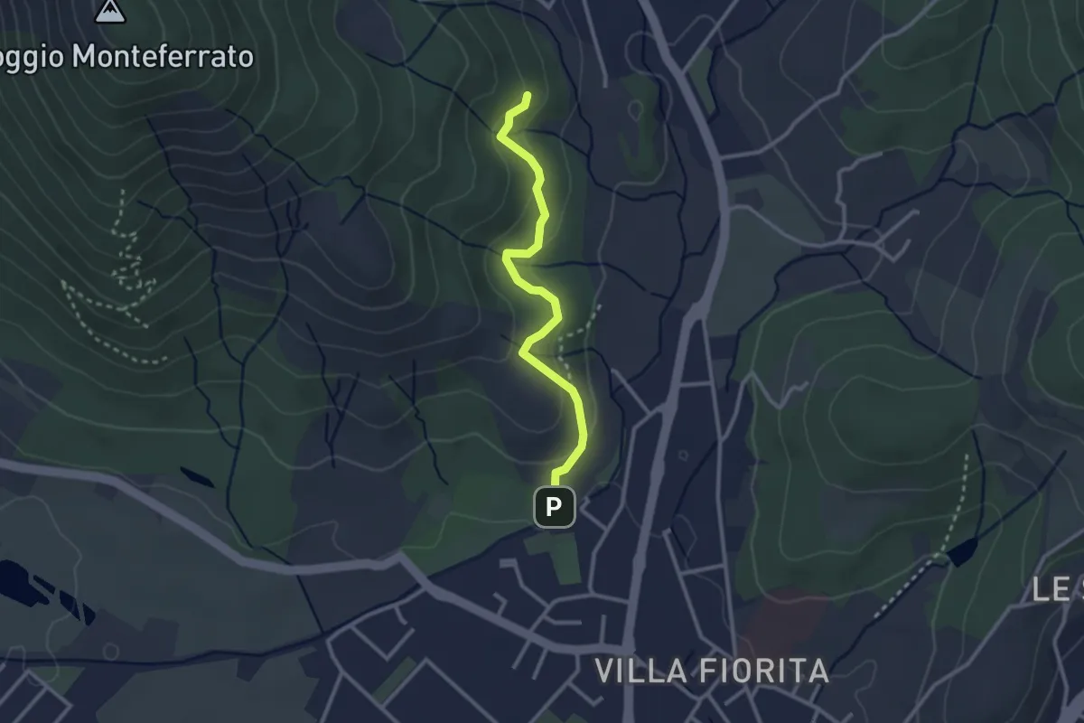
Easy · Trail
Sentiero Aurora (Piero Sambrotta)
2.7 km · ↑ 117 m · 54 min · 14 km away
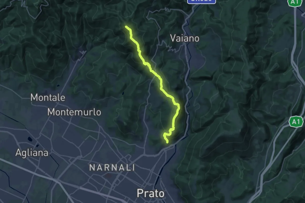
Demanding · Summit
sentiero Malaparte – Passo degli Acquiputoli
20.7 km · ↑ 1059 m · 7 h 11 min · 14 km away
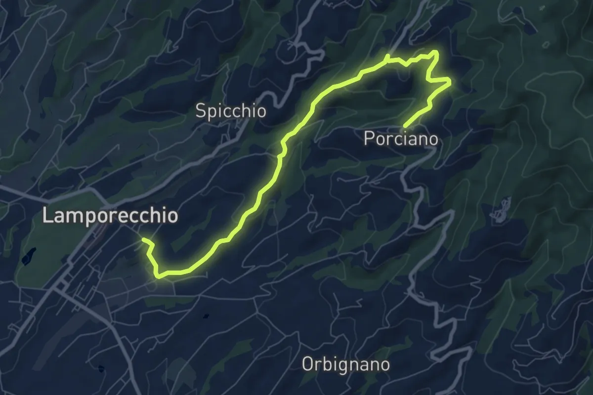
Medium · Trail
Lamporecchio – Porciano
9.1 km · ↑ 368 m · 2 h 56 min · 14 km away
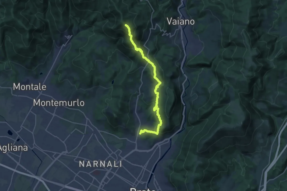
Demanding · Summit
Tramonto di un'Alba
19.9 km · ↑ 1090 m · 7 h 4 min · 14 km away
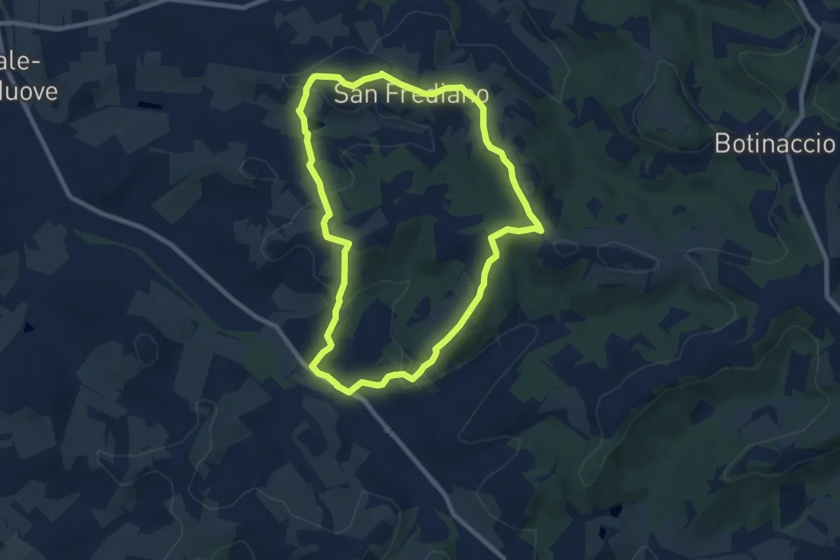
Easy · Trail
Anello del Torrino
6.8 km · ↑ 205 m · 2 h 9 min · 15 km away
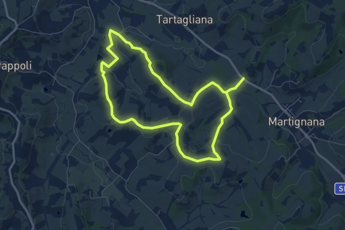
Medium · Trail
Anello di Montemagnoli
13.7 km · ↑ 316 m · 3 h 56 min · 15 km away
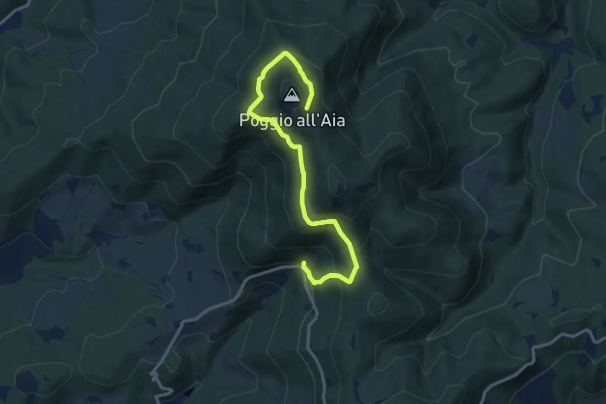
Medium · Trail
Fonte del Vecciolino – Quota 855 sentiero 12
9.2 km · ↑ 537 m · 3 h 20 min · 15 km away
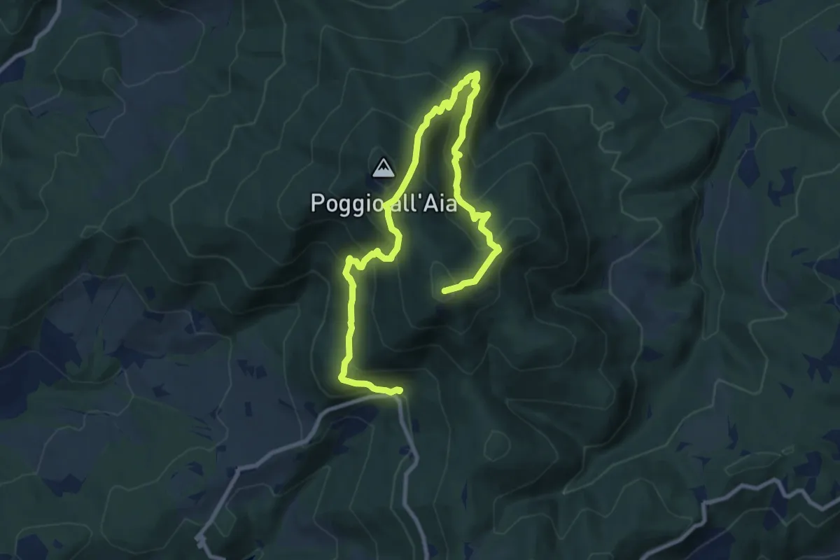
Demanding · Summit
Fonte del Vecciolino – Poggio Casaccia
12.4 km · ↑ 1011 m · 5 h 7 min · 15 km away
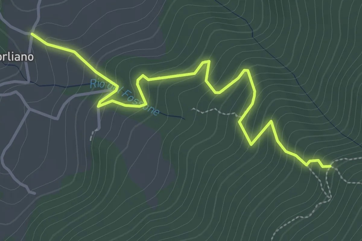
Easy · Trail
Leccio – Quota 590 sentiero 9
3.8 km · ↑ 299 m · 1 h 33 min · 15 km away
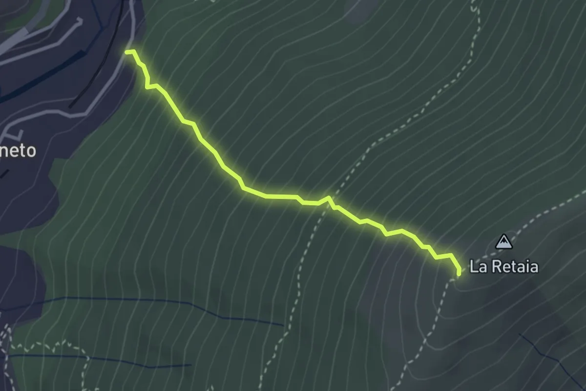
Medium · Trail
La Ovest Retaia
2.8 km · ↑ 628 m · 2 h 1 min · 15 km away