Trails near Sistiana / Sesljan
69 hikes starting within 15 km, nearest first.
Nearest first, page 2 of 2
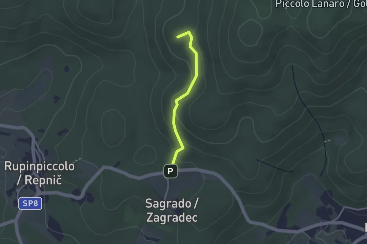
Easy · Summit
ex Sentiero CAI n. 5A
2.1 km · ↑ 71 m · 39 min · 12 km away
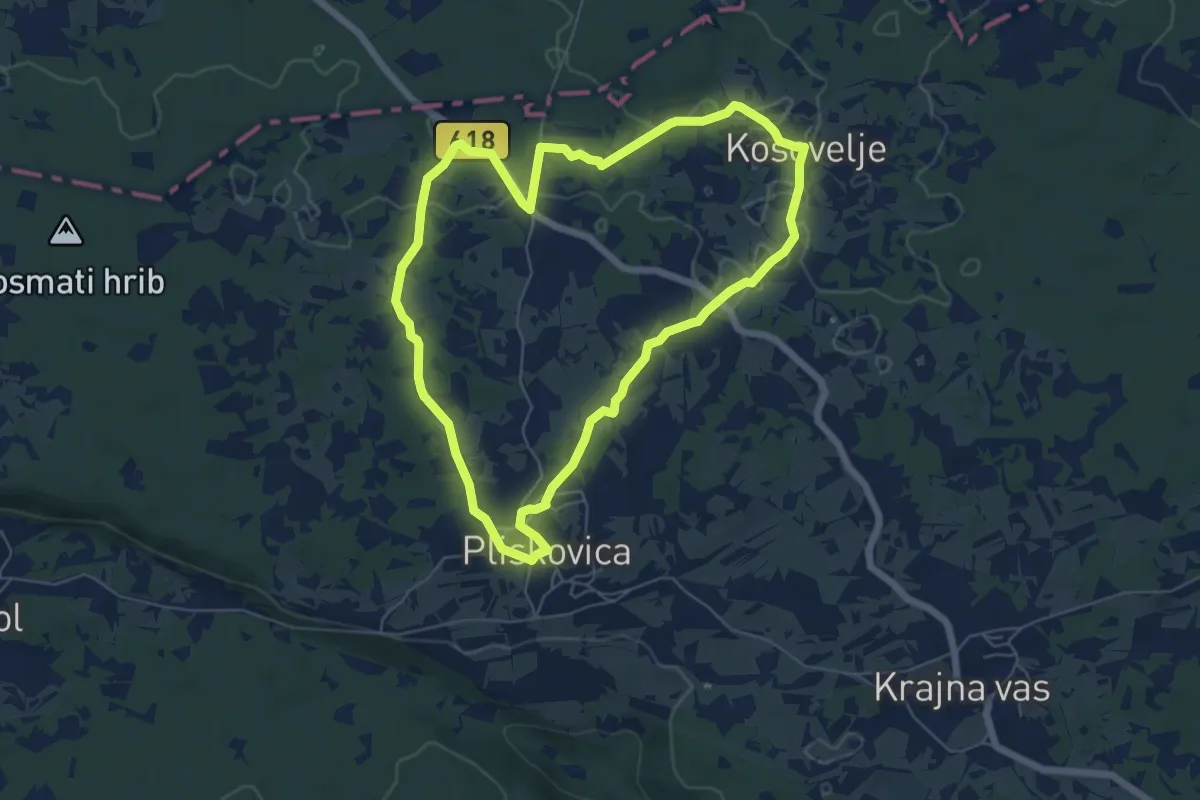
Easy · Trail
Pliskina pot
6.0 km · ↑ 52 m · 1 h 37 min · 12 km away
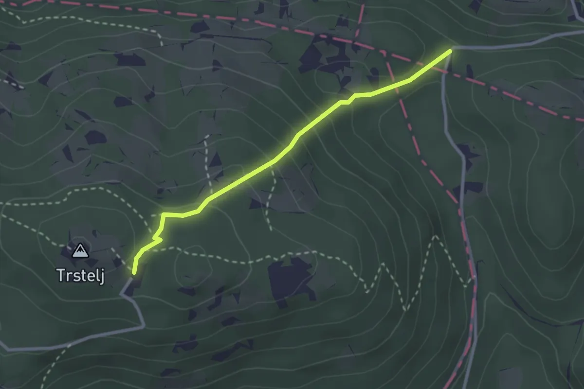
Medium · Cabin
Železna vrata - Trstelj
2.6 km · ↑ 189 m · 1 h 1 min · 12 km away
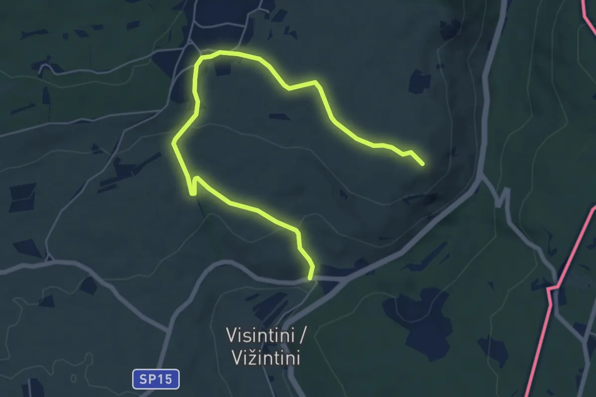
Easy · Summit
S.S. n. 55 del Vallone (quota 74 m) – Devetachi (quota 59 m)
6.6 km · ↑ 160 m · 1 h 55 min · 12 km away
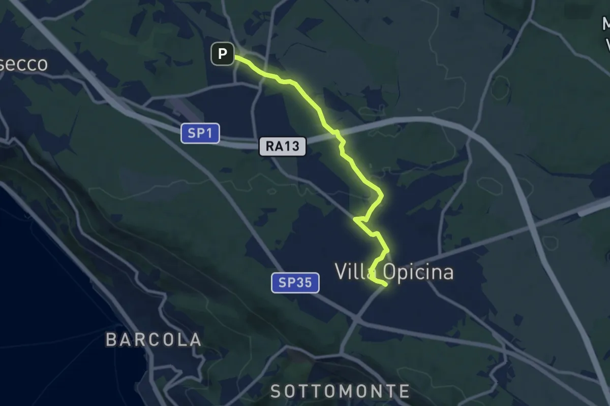
Medium · Trail
Opicina / Opčine – Grotta Gigante / Briška jama
8.1 km · ↑ 60 m · 2 h 3 min · 12 km away
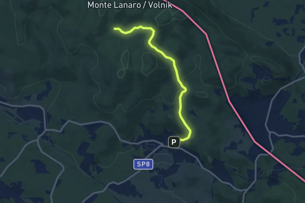
Easy · Trail
Repen, zona Mouzar (quota 325 m) – Bivio sentiero n. 024, pendici del Piccolo Lanaro (quota 473 m)
4.9 km · ↑ 178 m · 1 h 33 min · 12 km away
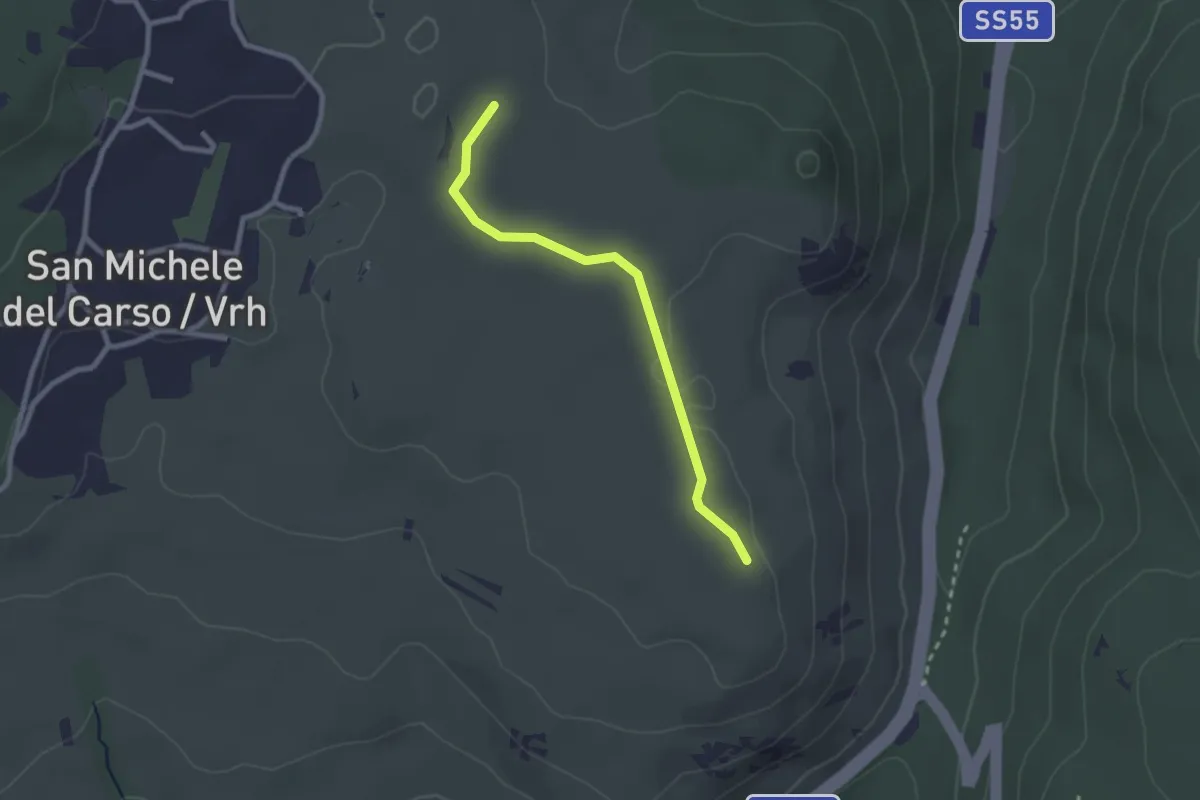
Easy · Trail
Rifugio Speleo (Percorso 071) (quota 185 m) – Percorso 074 (quota 185 m)
2.3 km · ↑ 18 m · 36 min · 12 km away
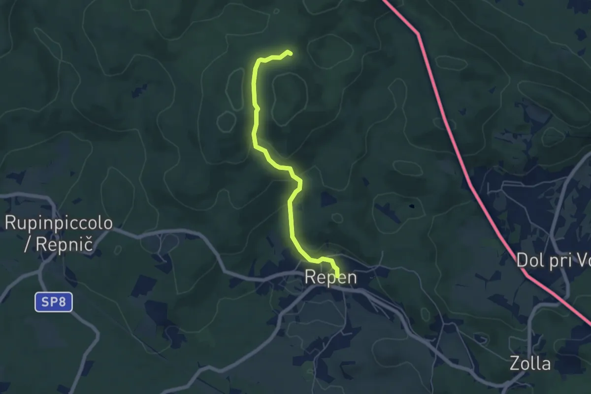
Easy · Trail
Repen – Bivio sentiero n. 5 (zona Peč)
6.7 km · ↑ 223 m · 2 h 4 min · 13 km away
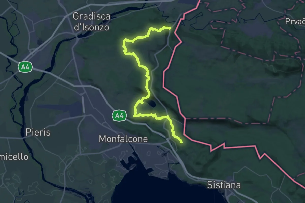
Demanding · Summit
Via Alpina Yellow B4
40.7 km · ↑ 1037 m · 11 h 51 min · 13 km away
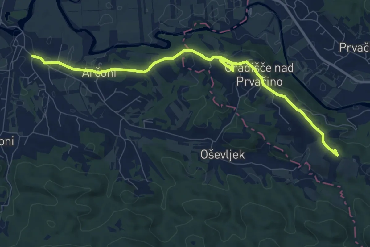
Medium · Summit
Gregorčičeva pot
8.8 km · ↑ 103 m · 2 h 18 min · 13 km away
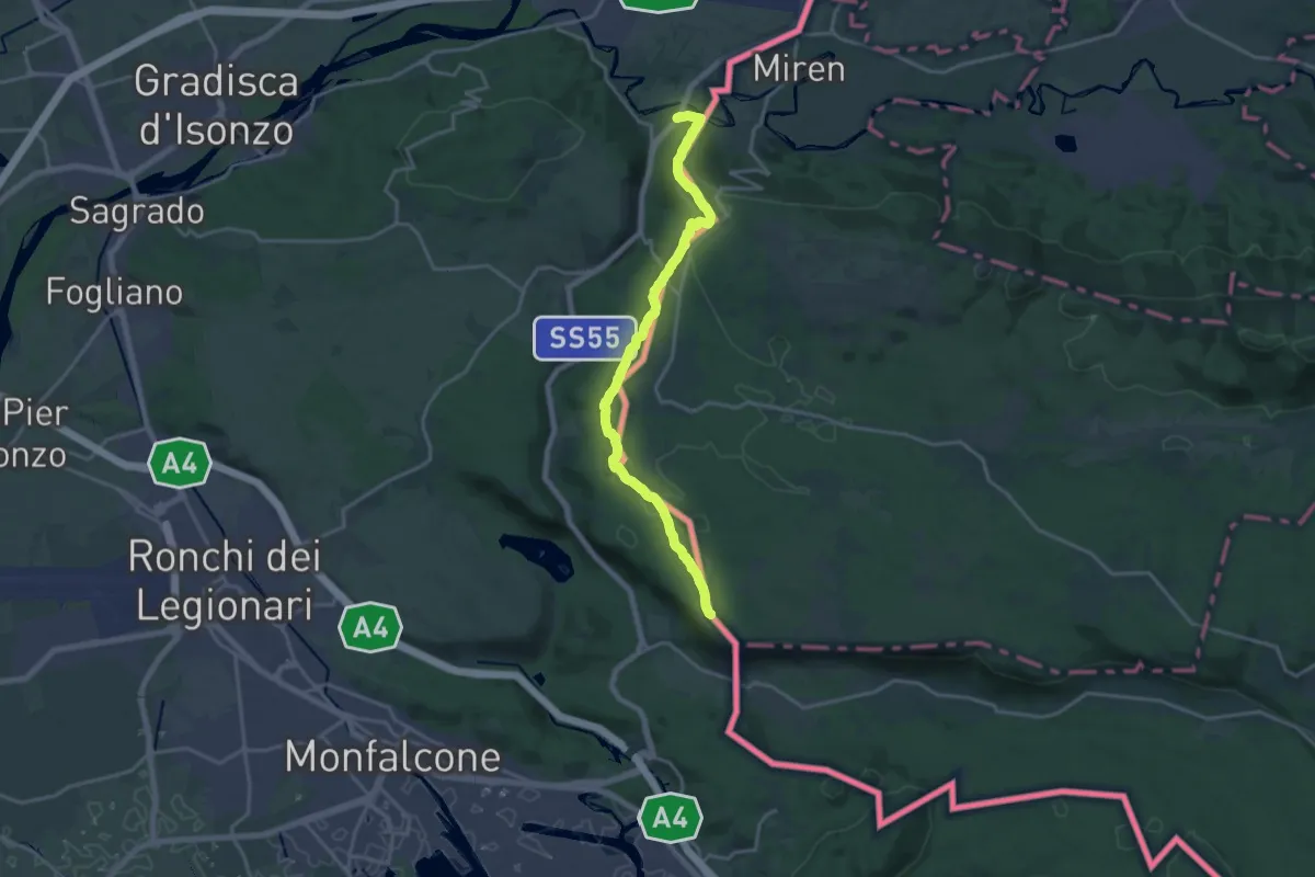
Demanding · Summit
Sentiero Abramo Schmid
18.6 km · ↑ 355 m · 5 h 9 min · 14 km away
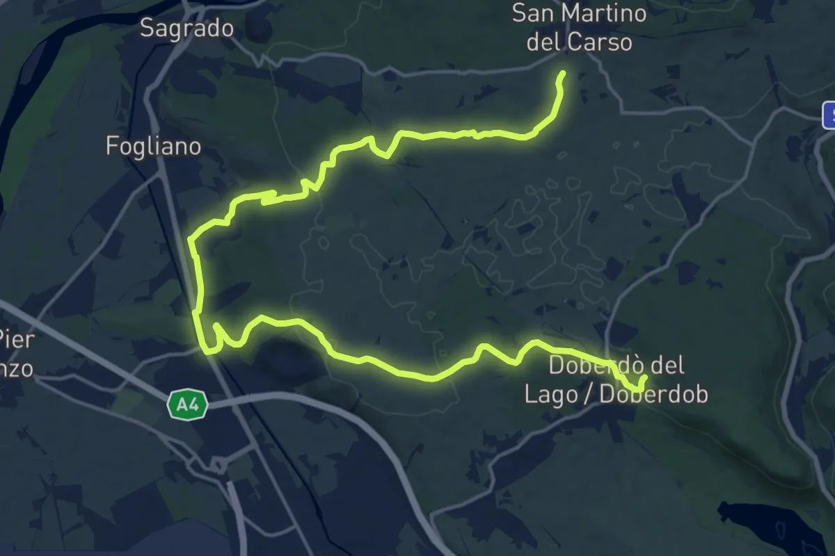
Demanding · Trail
bivio sent 072 (quota 150 m) – Doberdò del Lago bivio sent 077 (quota 110 m)
24.1 km · ↑ 323 m · 6 h 23 min · 14 km away
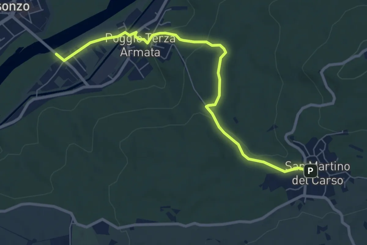
Easy · Trail
Poggio III Armata Sdraussina (quota 32 m) – San Martino del Carso (quota 168 m)
6.9 km · ↑ 147 m · 1 h 57 min · 14 km away
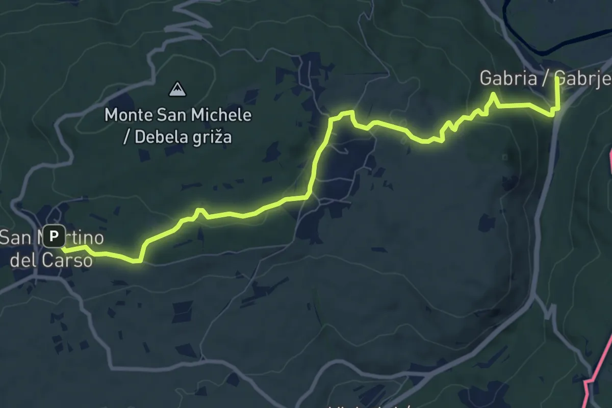
Medium · Trail
Gabria Superiore (quota 47 m) – San Martino del Carso (quota 168 m)
10.2 km · ↑ 250 m · 2 h 56 min · 14 km away
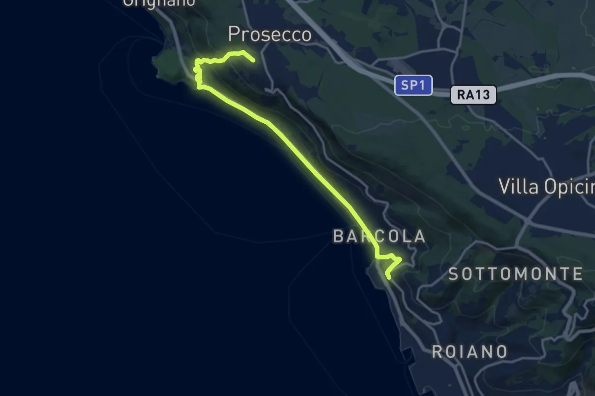
Medium · Trail
Sentiero natura / Pešpot za Miramar
12.3 km · ↑ 324 m · 3 h 37 min · 14 km away
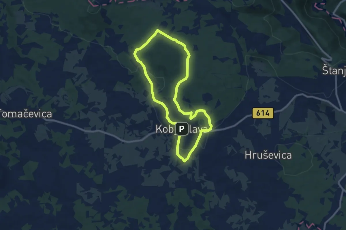
Easy · Trail
Pot devetih kalov
6.4 km · ↑ 99 m · 1 h 49 min · 14 km away
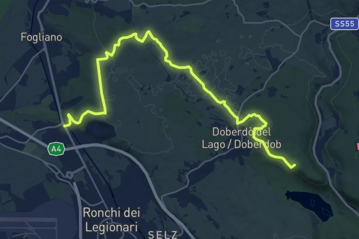
Demanding · Summit
Redipuglia (quota 24 m) – Casa Cadorna (quota 118 m)
20.8 km · ↑ 318 m · 5 h 36 min · 14 km away
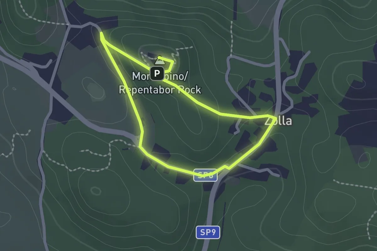
Easy · Summit
Sentiero Tabor / Pešpot Tabor
1.7 km · ↑ 48 m · 32 min · 14 km away
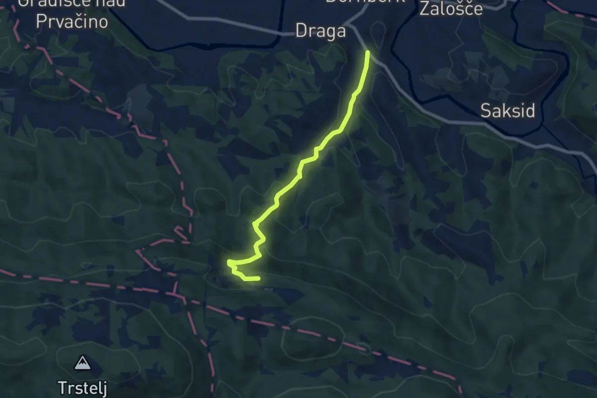
Medium · Summit
Dornberk - Železna vrata
6.2 km · ↑ 334 m · 2 h 11 min · 15 km away
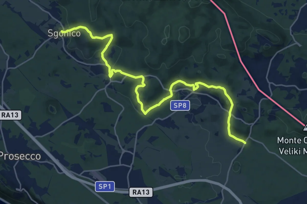
Demanding · Trail
Sgonico (quota 276 m) – Col bivio SP 9 (quota 328 m)
18.5 km · ↑ 446 m · 5 h 20 min · 15 km away
Medium · Trail
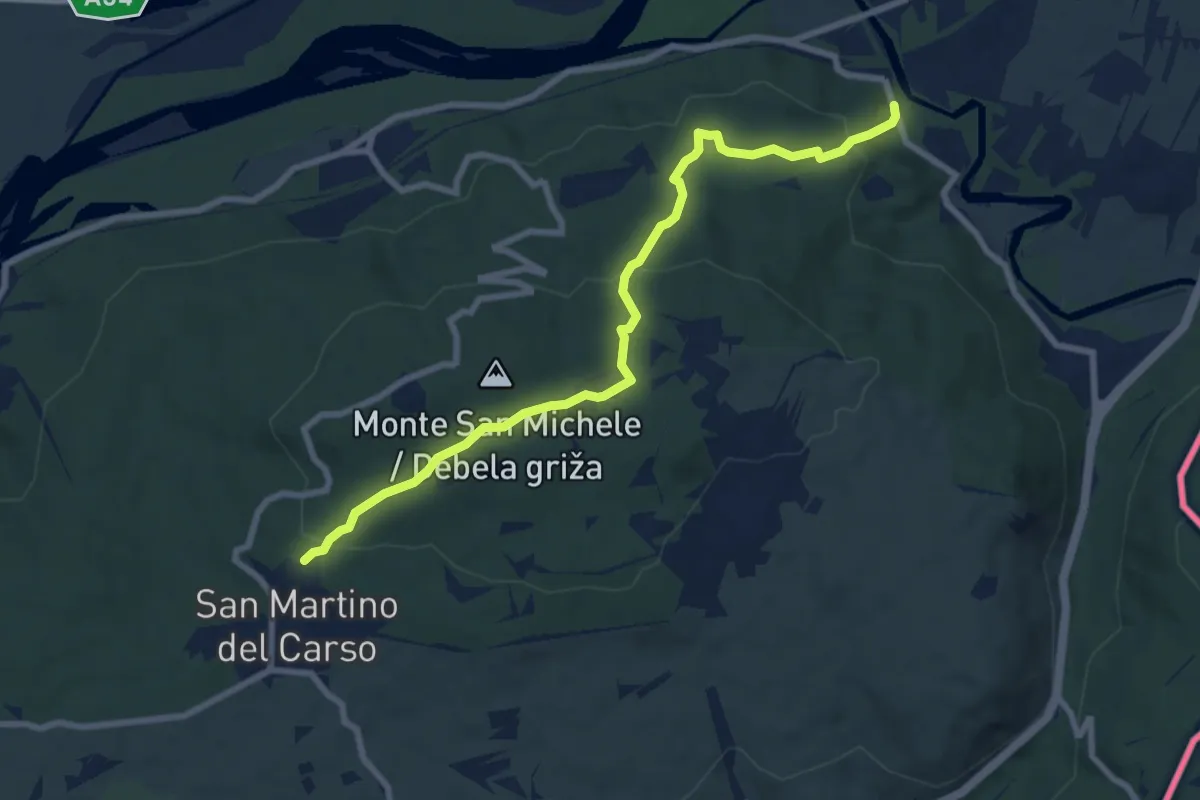
Castel Rubbia (quota 45 m) – Jamiano (quota 45 m)
8.3 km · ↑ 266 m · 2 h 33 min · 15 km away