Trails near Somma Lombardo
78 hikes starting within 15 km, nearest first.
Nearest first, page 2 of 2
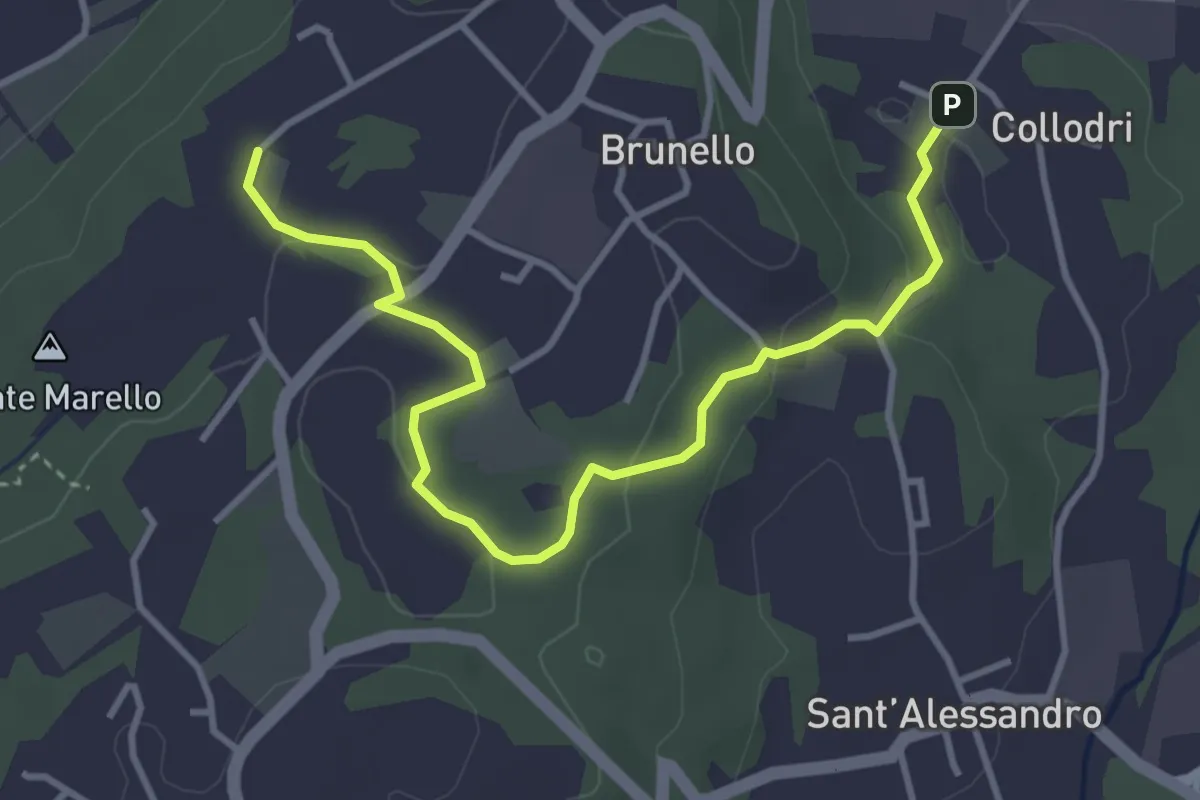
Easy · Trail
Piane Viscontee - Anello di Brunello
4.3 km · ↑ 111 m · 1 h 15 min · 12 km away
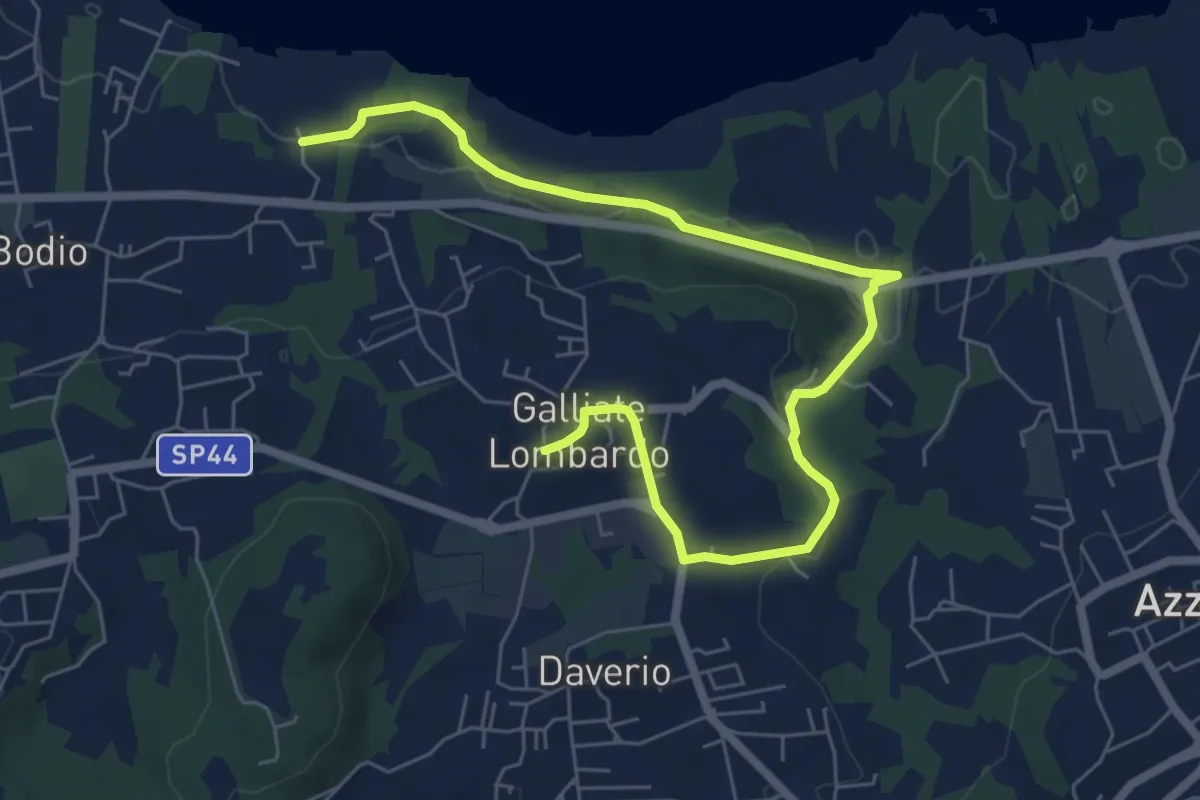
Medium · Trail
Piane Viscontee - Anello di Galliate Lombardo
8.0 km · ↑ 138 m · 2 h 12 min · 12 km away
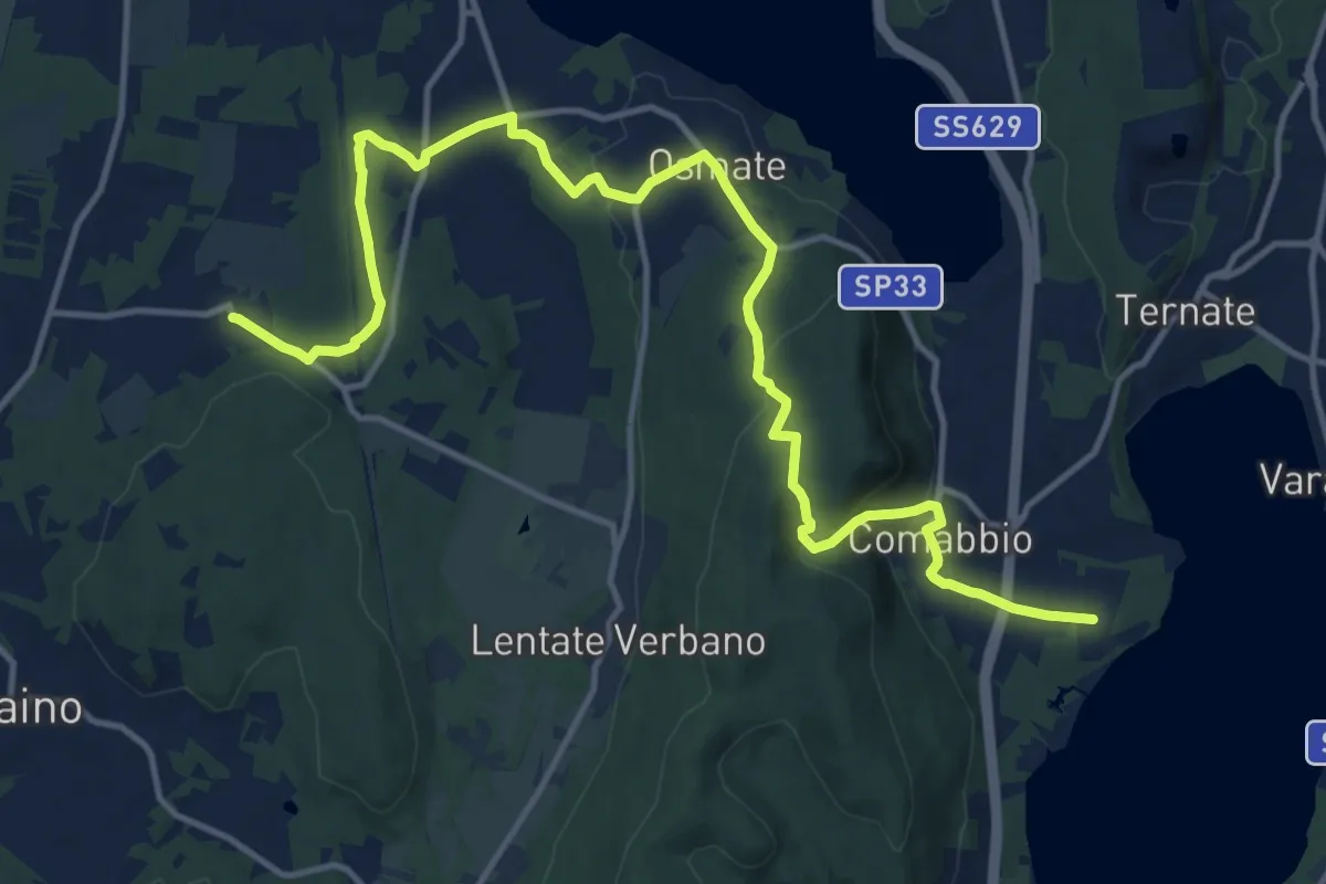
Medium · Trail
Sentiero dei lavatoi
16.9 km · ↑ 422 m · 4 h 55 min · 13 km away
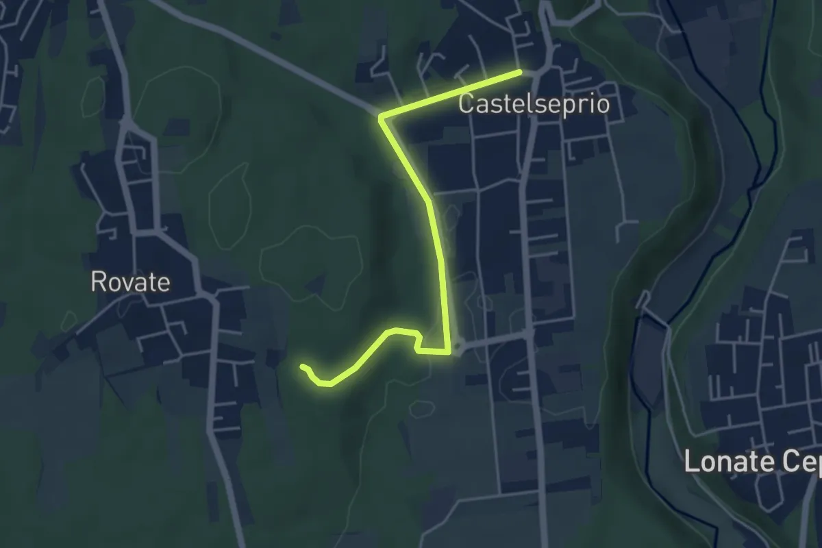
Easy · Trail
Collegamento Anello del Rile-Dorsale RTO
4.2 km · ↑ 47 m · 1 h 5 min · 13 km away
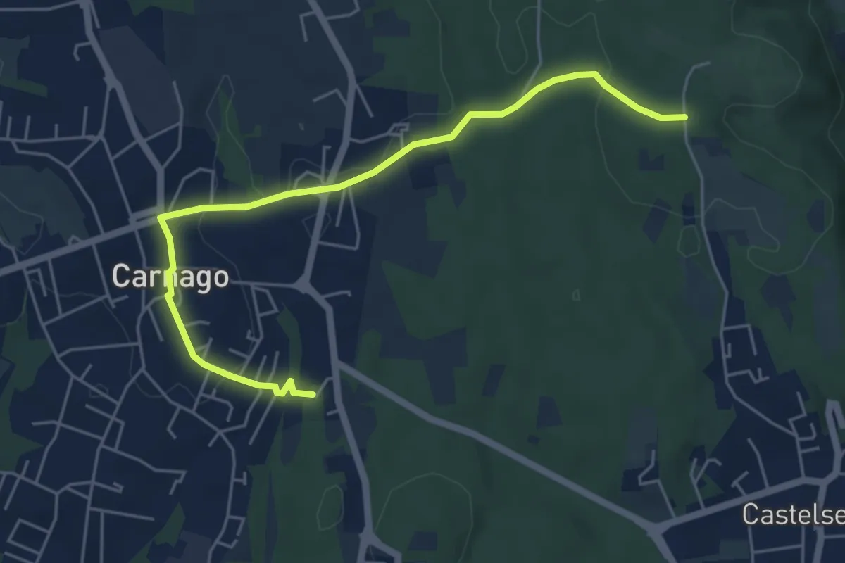
Easy · Trail
520E Collegamento Carnago
5.6 km · ↑ 67 m · 1 h 28 min · 13 km away
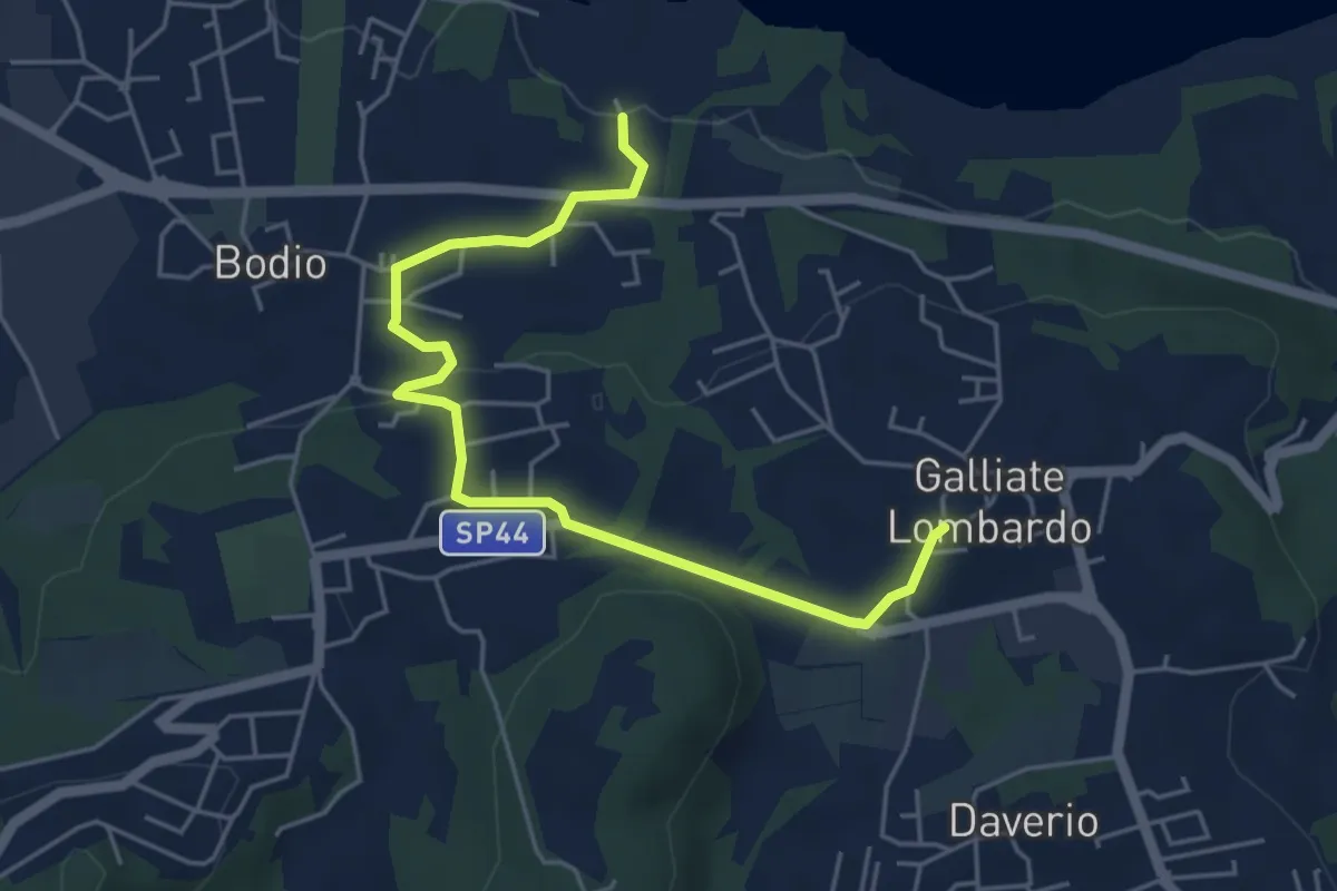
Easy · Trail
Piane Viscontee - Anello di Galliate Lombardo
5.5 km · ↑ 118 m · 1 h 33 min · 13 km away
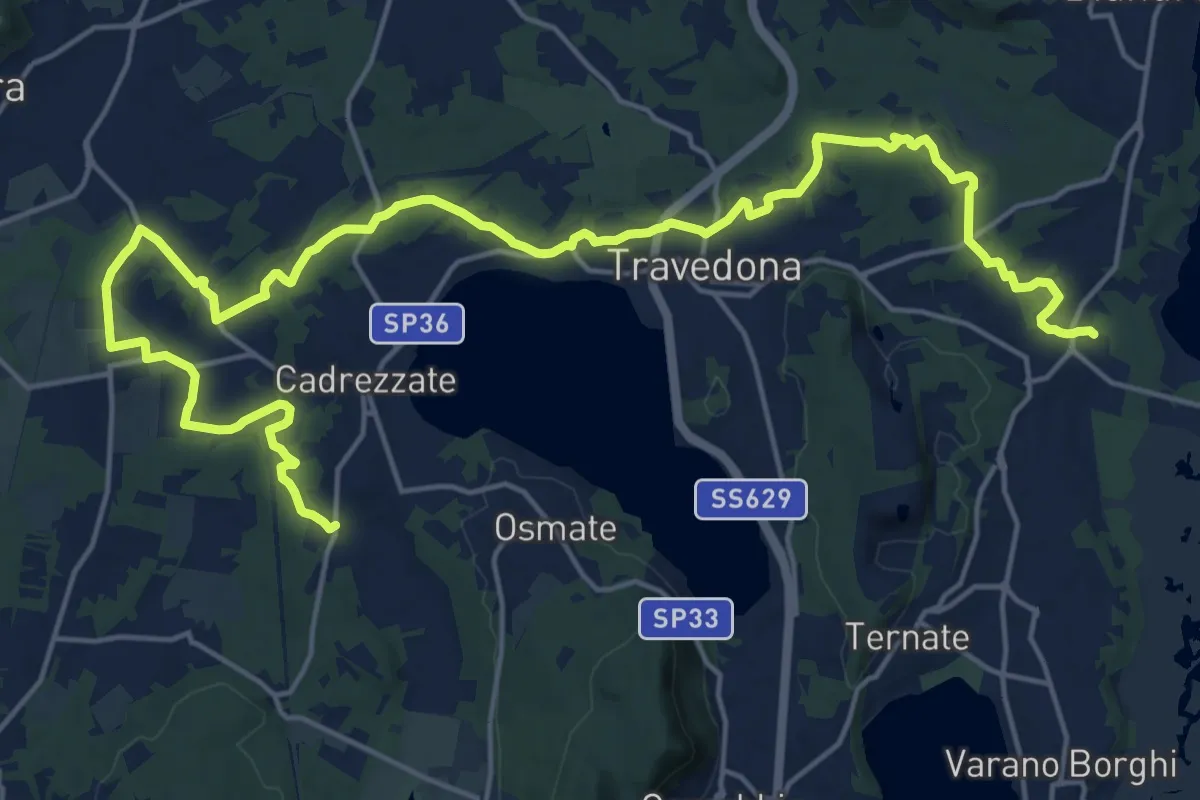
Demanding · Trail
Sentiero delle pesche
26.6 km · ↑ 379 m · 7 h 6 min · 13 km away
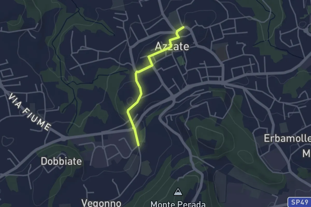
Easy · Trail
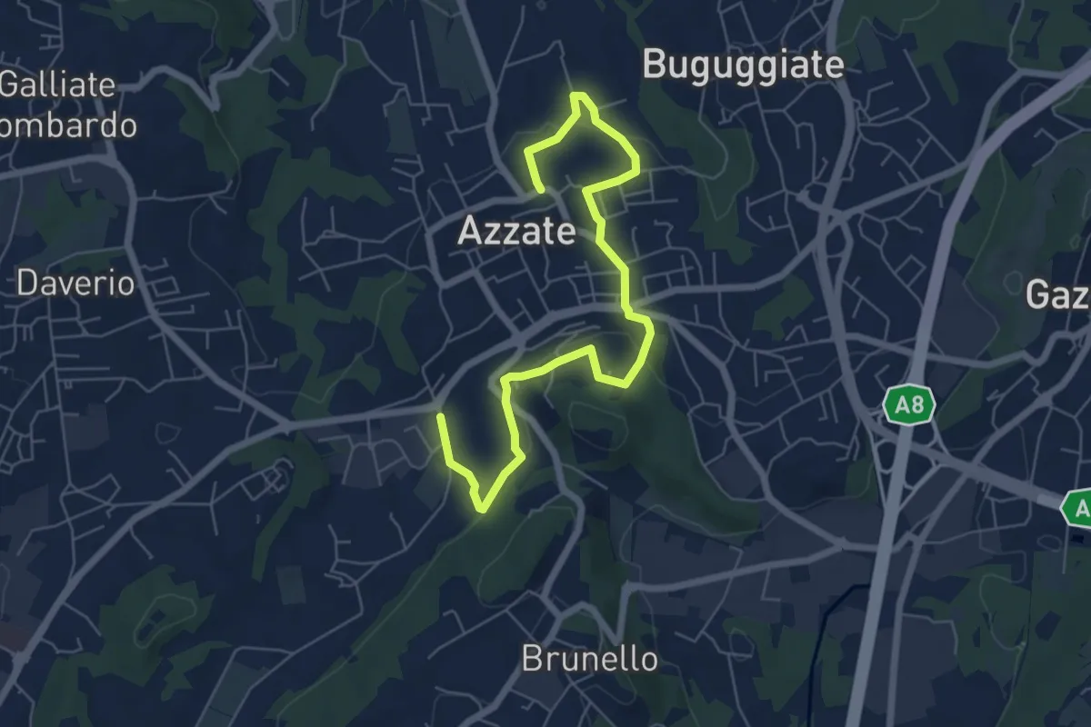
Piane Viscontee - Anello di Azzate
2.7 km · ↑ 48 m · 44 min · 13 km away
Easy · Trail
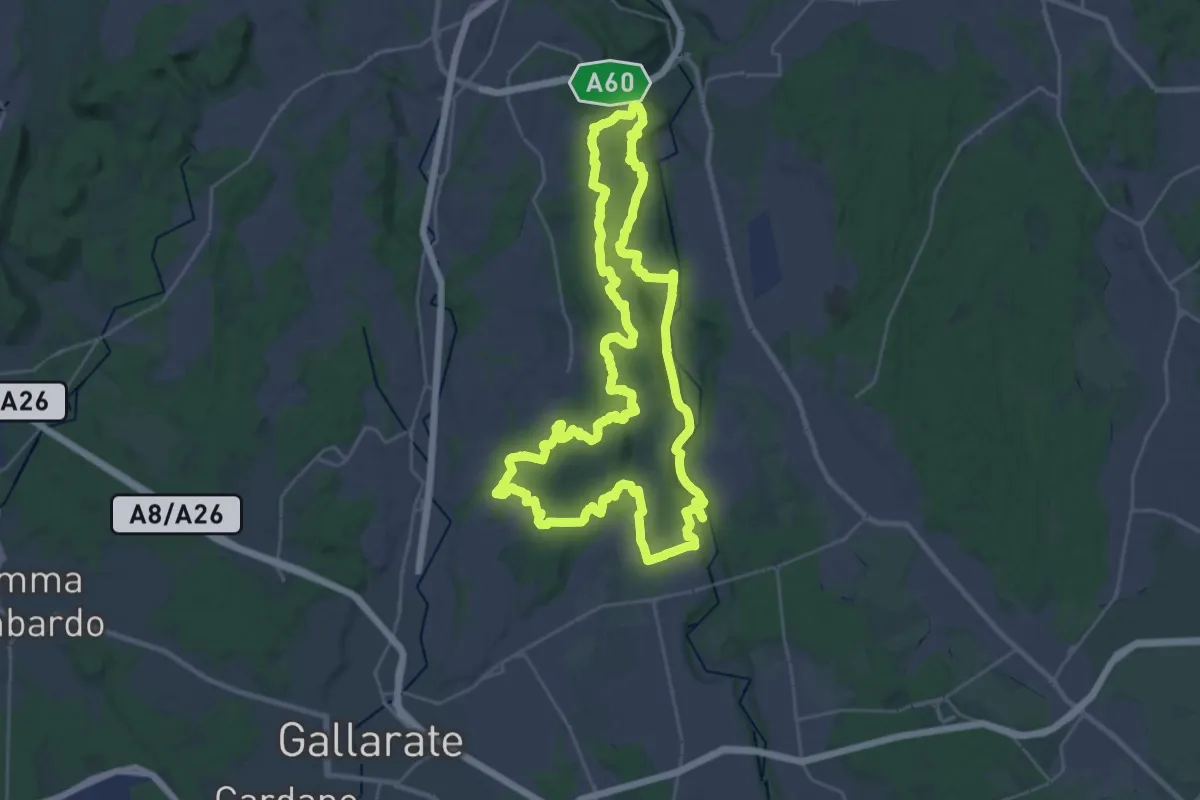
Piane Viscontee - Anello di Azzate
7.1 km · ↑ 239 m · 2 h 11 min · 13 km away
Demanding · Trail
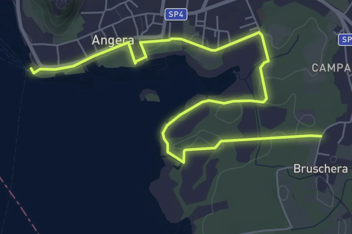
Grandtour RTO
30.8 km · ↑ 344 m · 8 h 28 min · 13 km away
Easy · Trail
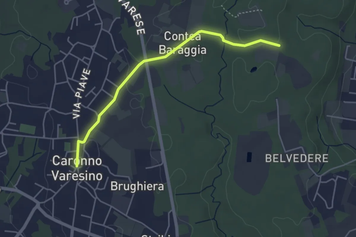
613 Sentiero dell'Oasi della Bruschera
7.7 km · ↑ 45 m · 1 h 56 min · 13 km away
Easy · Trail
520D Collegamento Caronno Varesino-Dorsale RTO
4.0 km · ↑ 32 m · 1 h · 13 km away
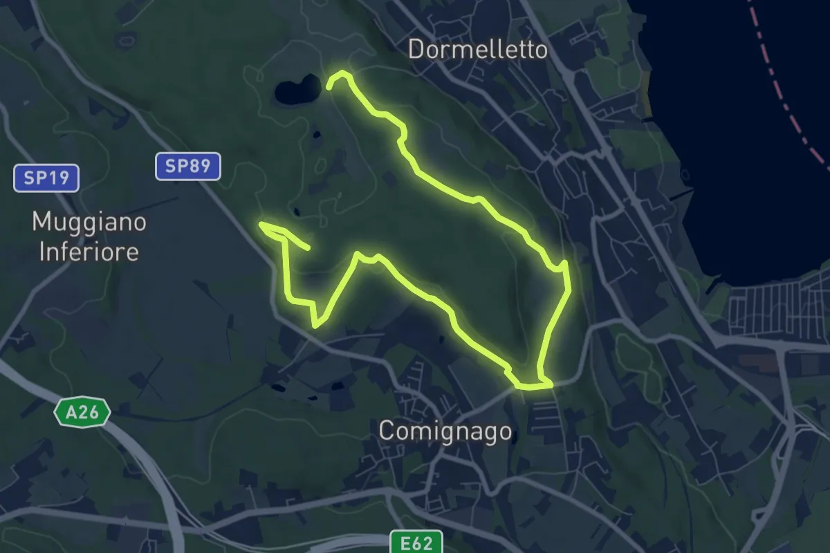
Medium · Summit
Le attività produttive
12.5 km · ↑ 194 m · 3 h 23 min · 13 km away
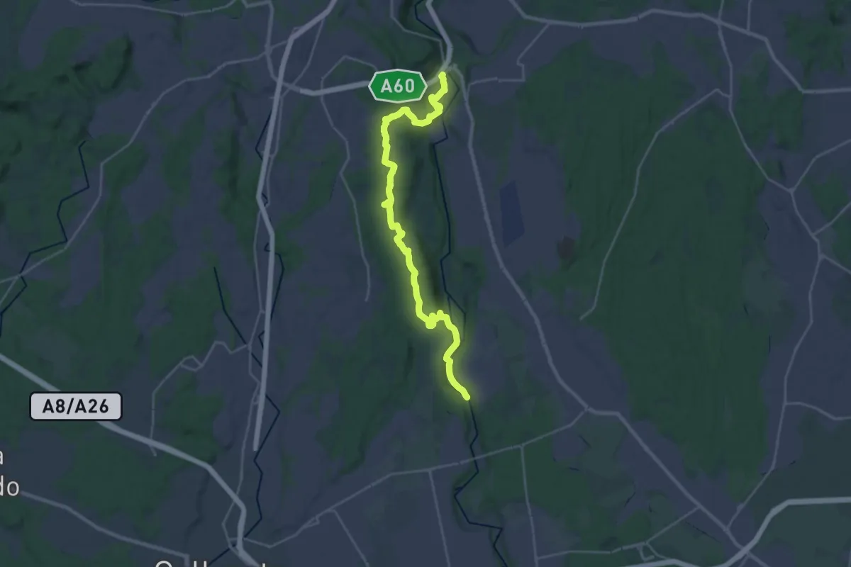
Demanding · Trail
Dorsale Rile-Tenore-Olona
26.4 km · ↑ 426 m · 7 h 9 min · 13 km away
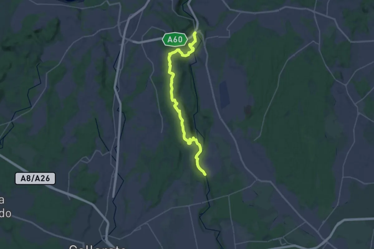
Demanding · Trail
520 Dorsale RTO
25.9 km · ↑ 425 m · 7 h 2 min · 13 km away
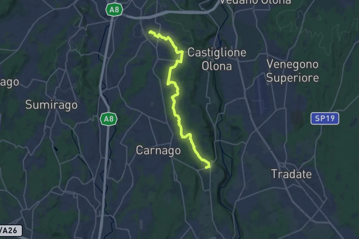
Medium · Trail
522 Sentiero del Tenore
17.2 km · ↑ 164 m · 4 h 25 min · 13 km away
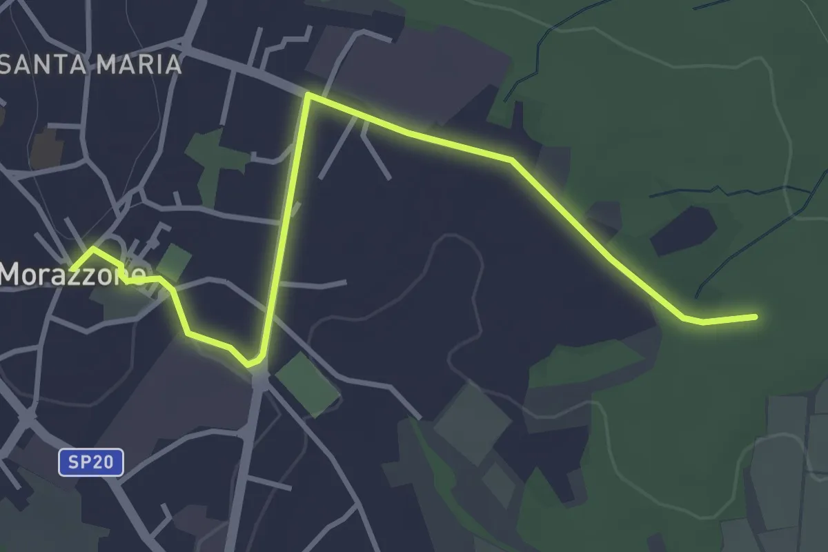
Easy · Trail
520C Collegmaento Morazzone-Dorsale RTO
3.8 km · ↑ 31 m · 58 min · 13 km away
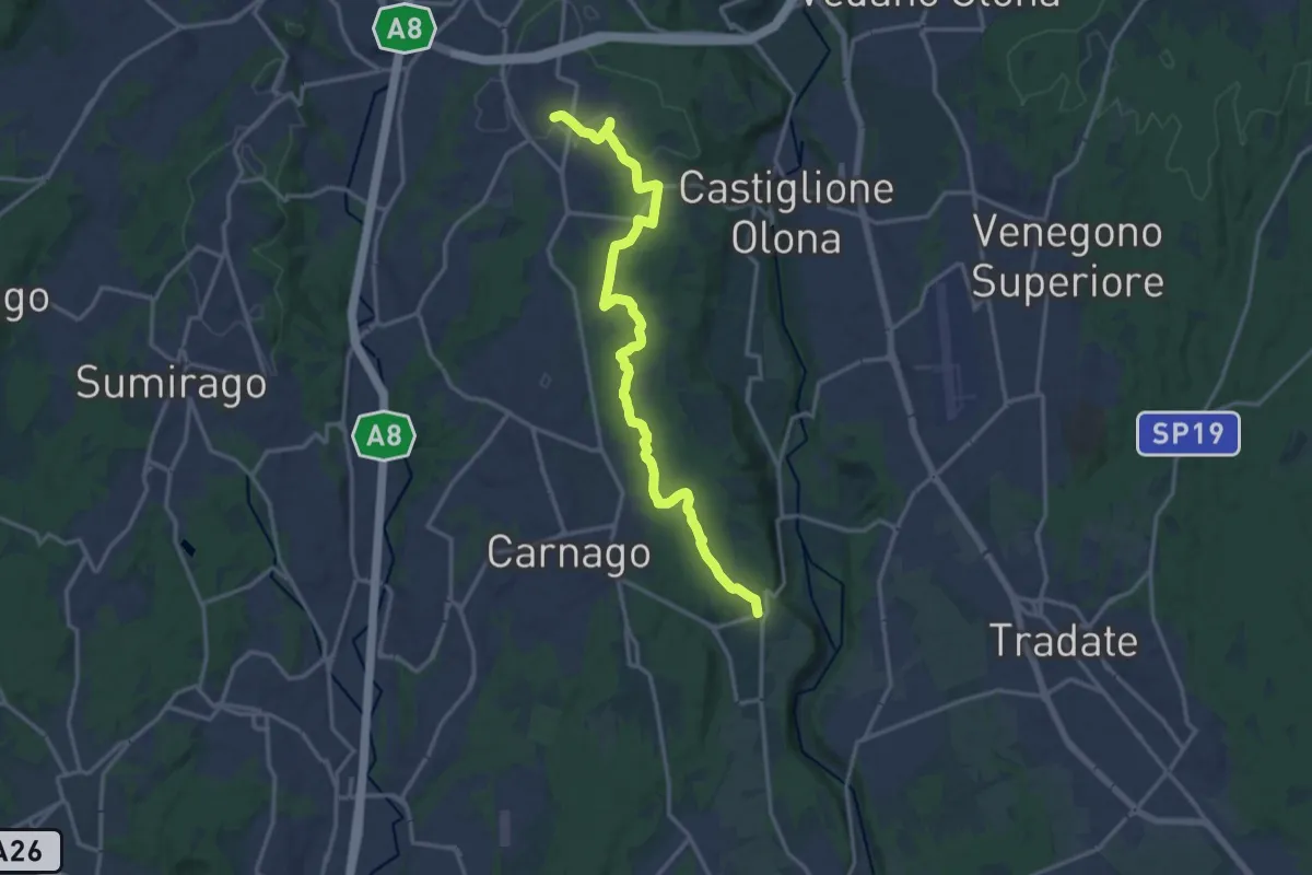
Medium · Trail
Sentiero del Tenore
16.7 km · ↑ 149 m · 4 h 16 min · 13 km away
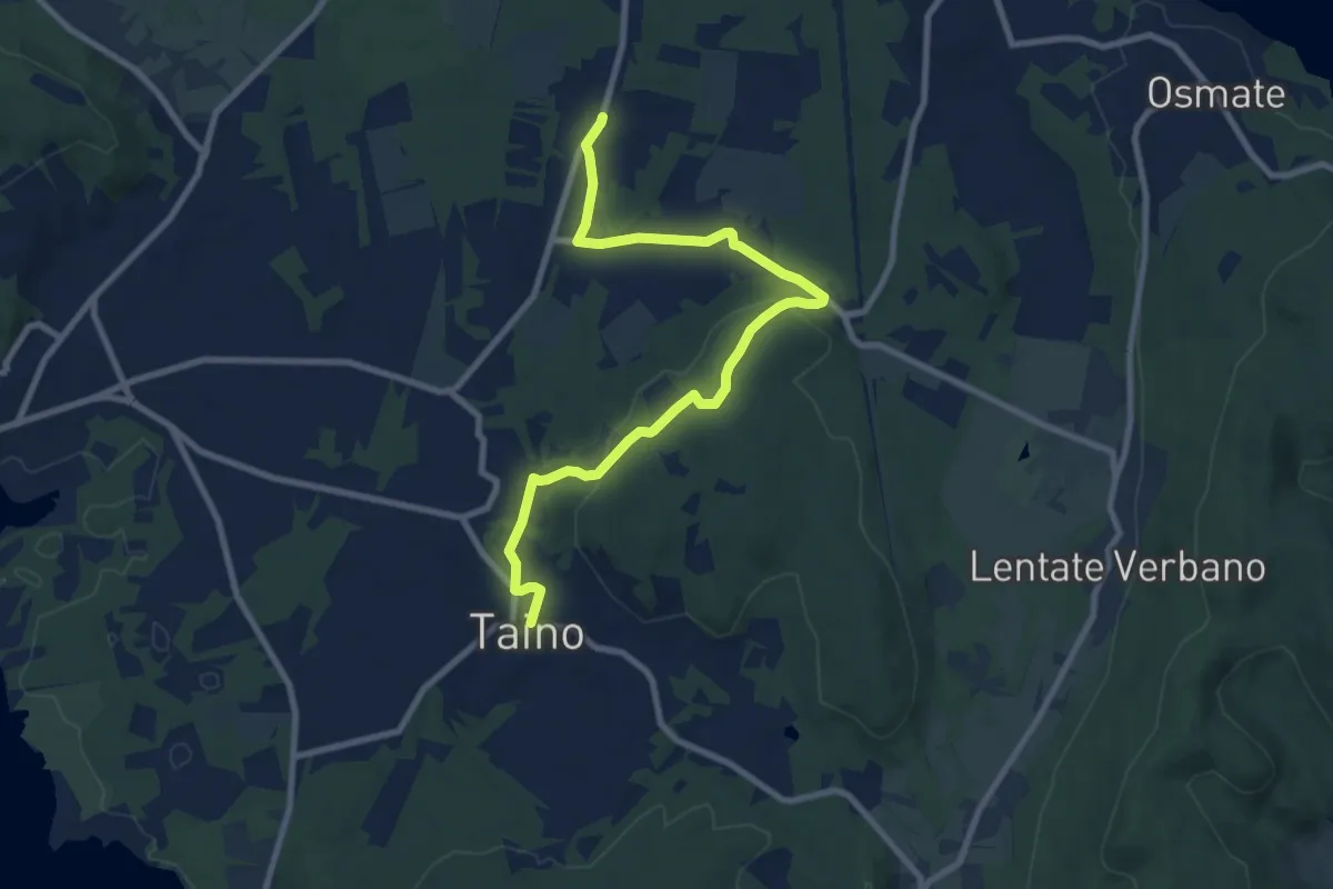
Medium · Trail
617 Sentiero della Lungo un filo di seta
9.9 km · ↑ 215 m · 2 h 48 min · 13 km away
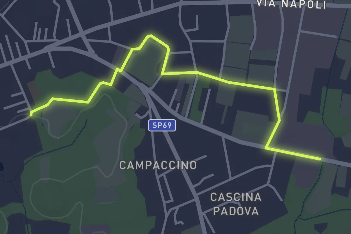
Easy · Trail
613D Sentiero dell'Oasi della Bruschera - Variante D
3.7 km · ↑ 9 m · 54 min · 14 km away
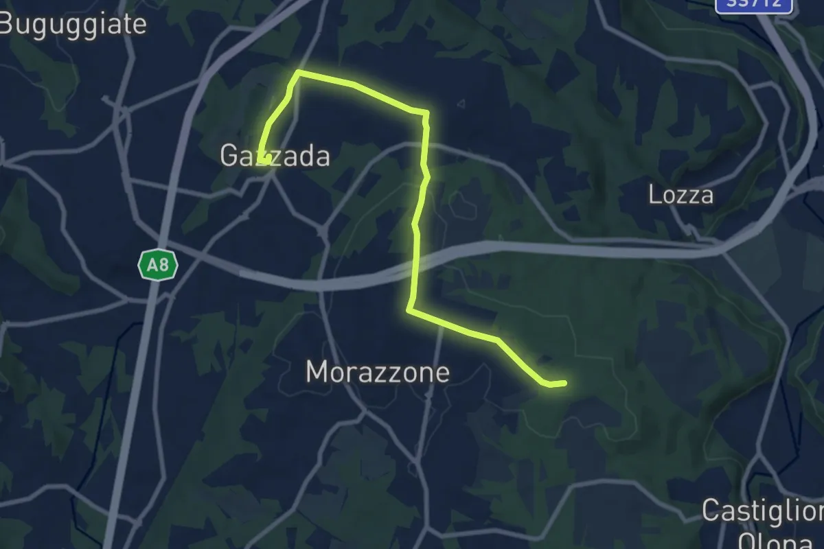
Medium · Trail
Morazzone – Dorsale RTO
8.4 km · ↑ 133 m · 2 h 16 min · 14 km away
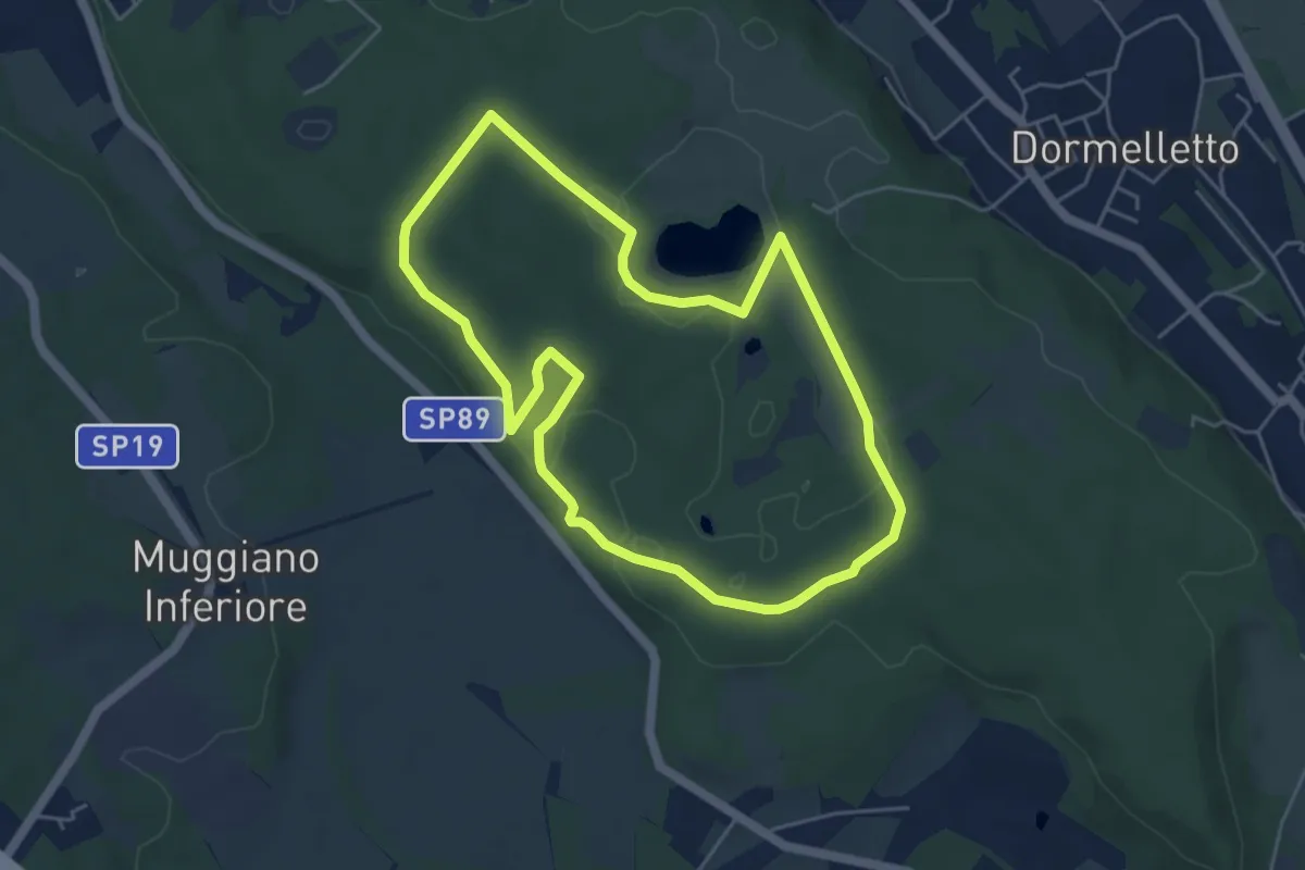
Easy · Summit
L'Archeologia
4.9 km · ↑ 73 m · 1 h 23 min · 14 km away
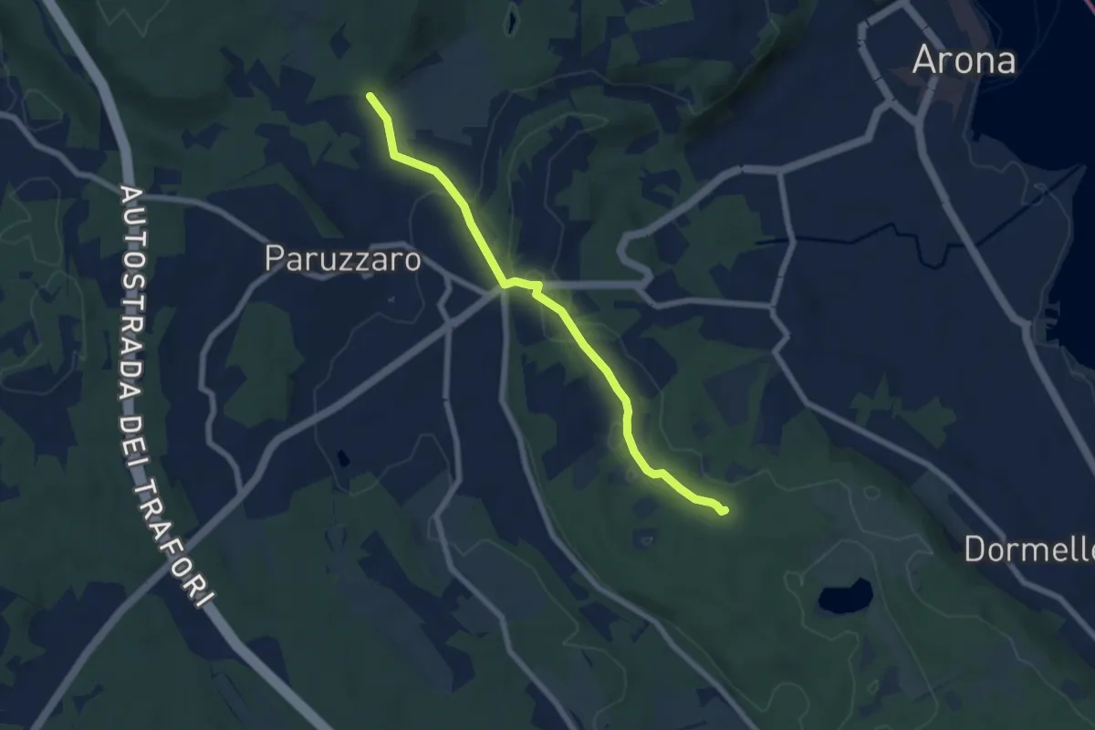
Easy · Trail
Oleggio Castello località Motto Lagone – Paruzzaro località San Eufemia, bivio NOAR09-NOAS08-NOAP02
6.4 km · ↑ 49 m · 1 h 37 min · 14 km away
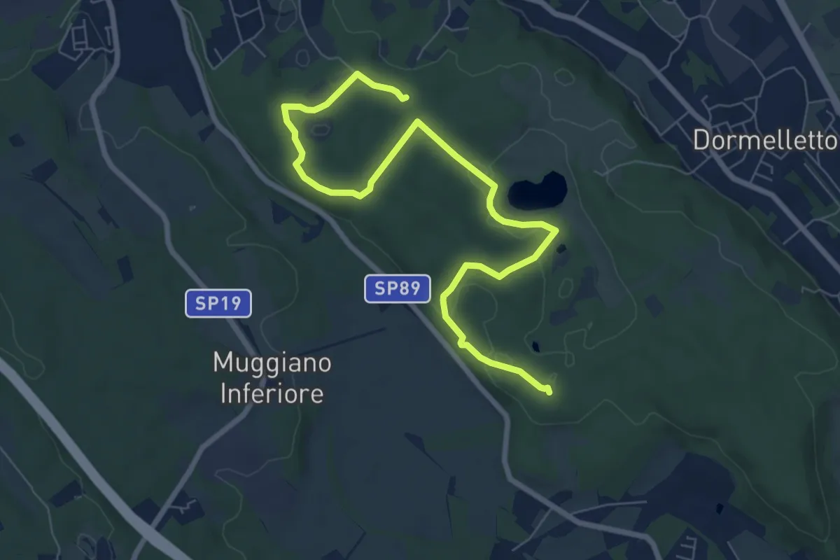
Medium · Summit
Le zone umide
8.7 km · ↑ 104 m · 2 h 17 min · 14 km away
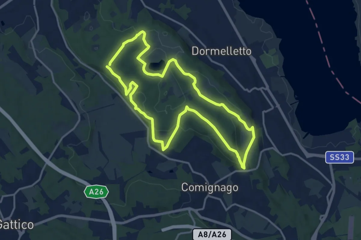
Medium · Summit
I boschi
10.1 km · ↑ 175 m · 2 h 53 min · 14 km away
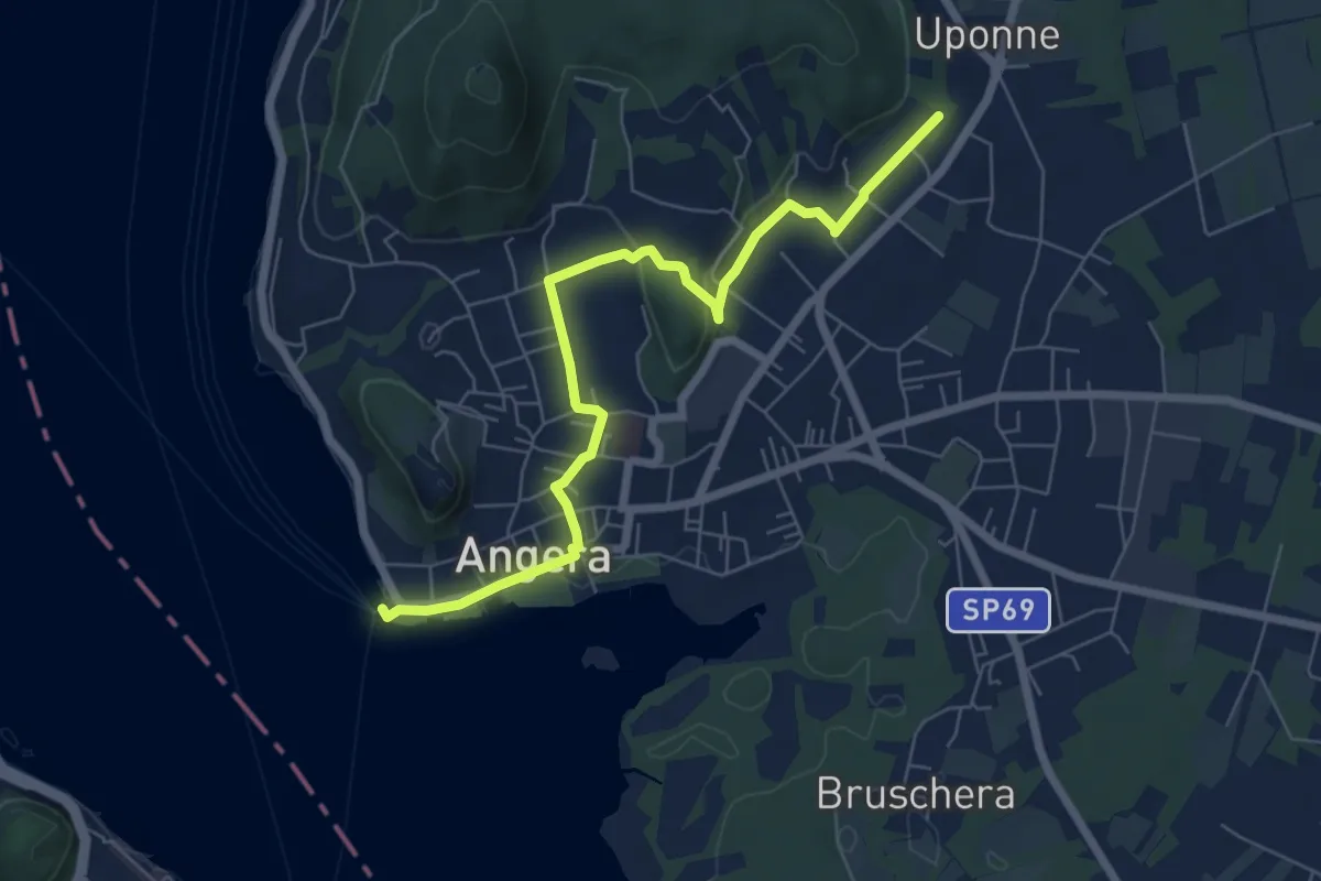
Easy · Trail
614E Sentiero delle Erbe e degli Alberi
7.0 km · ↑ 105 m · 1 h 53 min · 14 km away
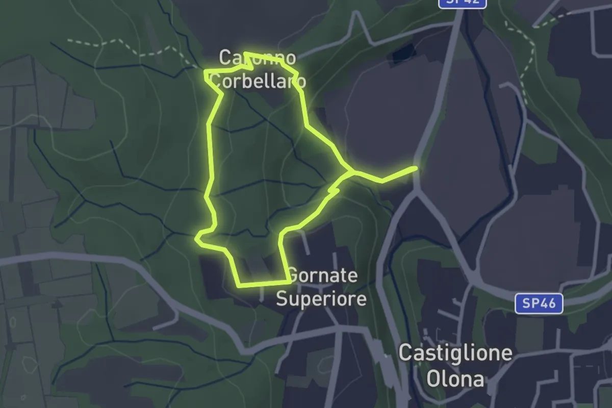
Easy · Trail
521 Anello dei Lavatoi
2.4 km · ↑ 66 m · 45 min · 15 km away
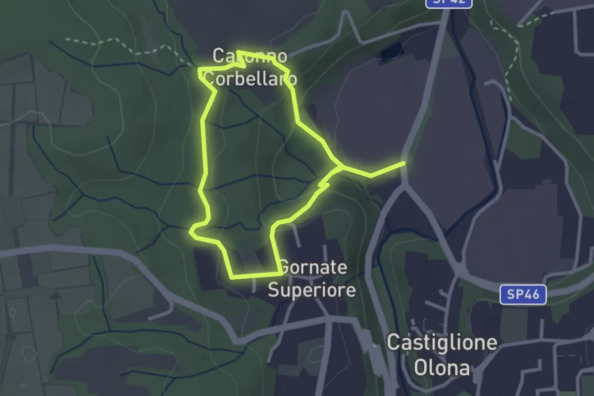
Easy · Trail
Anello dei Lavatoi
2.3 km · ↑ 61 m · 42 min · 15 km away
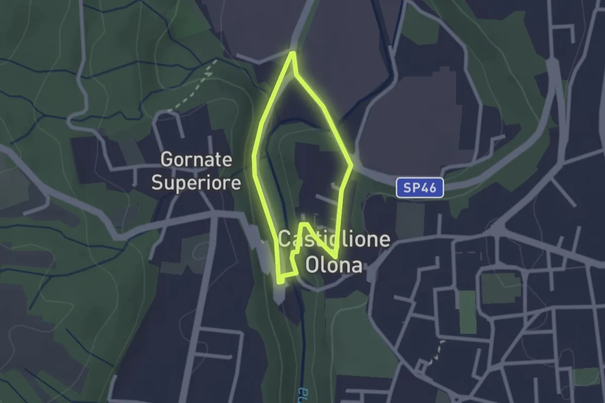
Easy · Trail
Anello Storico di Castiglione
1.6 km · ↑ 38 m · 29 min · 15 km away
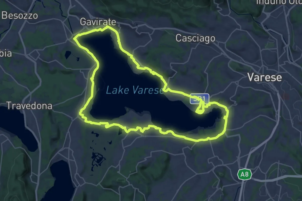
Demanding · Trail
Ciclopedonale Lago di Varese
29.9 km · ↑ 145 m · 7 h 47 min · 15 km away