Trails near Sondrio
199 hikes starting within 15 km, nearest first.
Nearest first, page 2 of 5
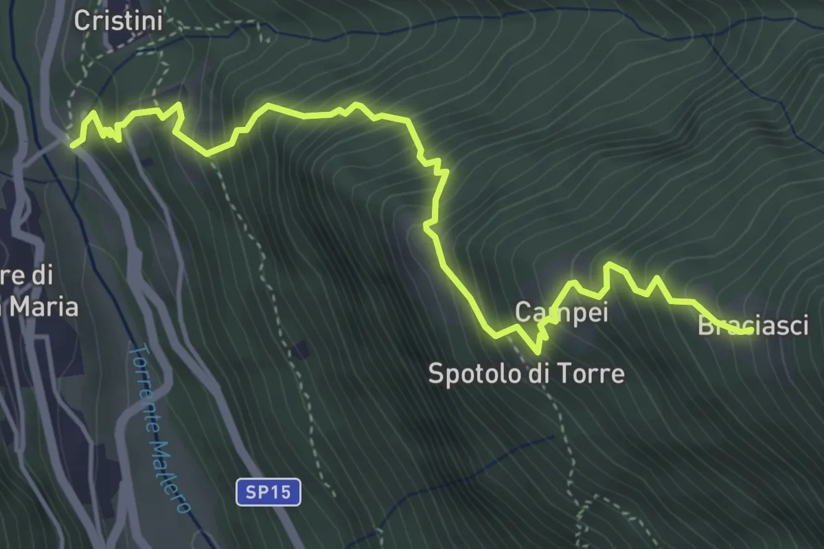
Demanding · Trail
SP15 - Torre di Santa Maria – Spotolo di Torre
5.0 km · ↑ 783 m · 2 h 53 min · 7 km away
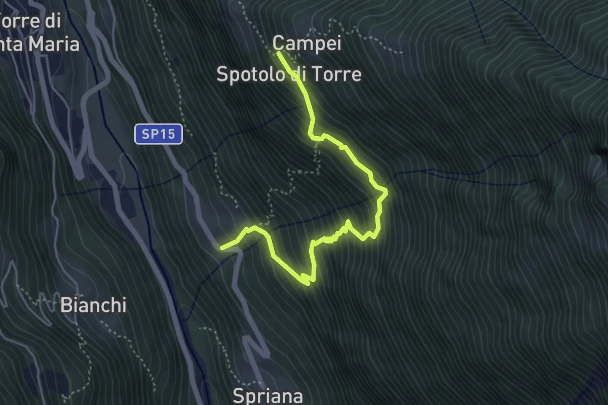
Demanding · Trail
Marveggio – Spotolo di Torre
4.5 km · ↑ 615 m · 2 h 23 min · 7 km away
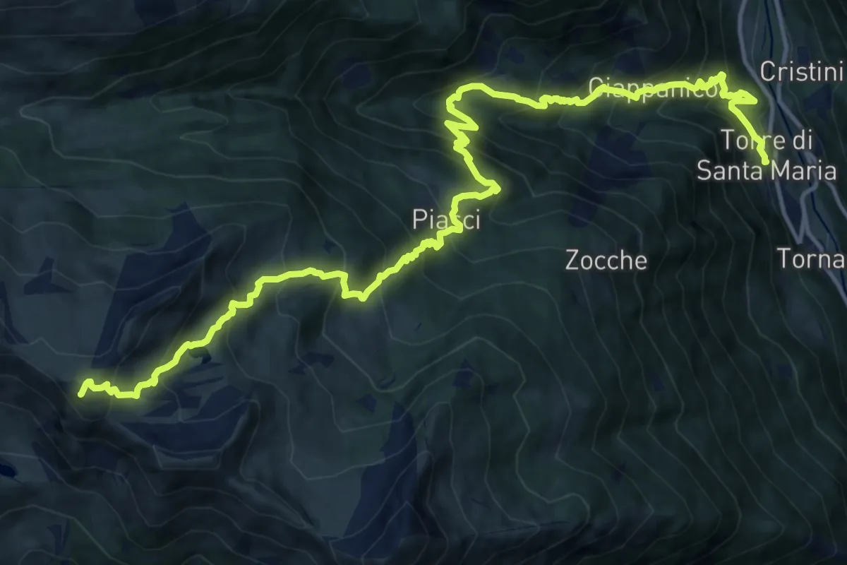
Demanding · Summit
Alta Via della Valmalenco - Tappa 1
18.5 km · ↑ 1802 m · 8 h 16 min · 7 km away
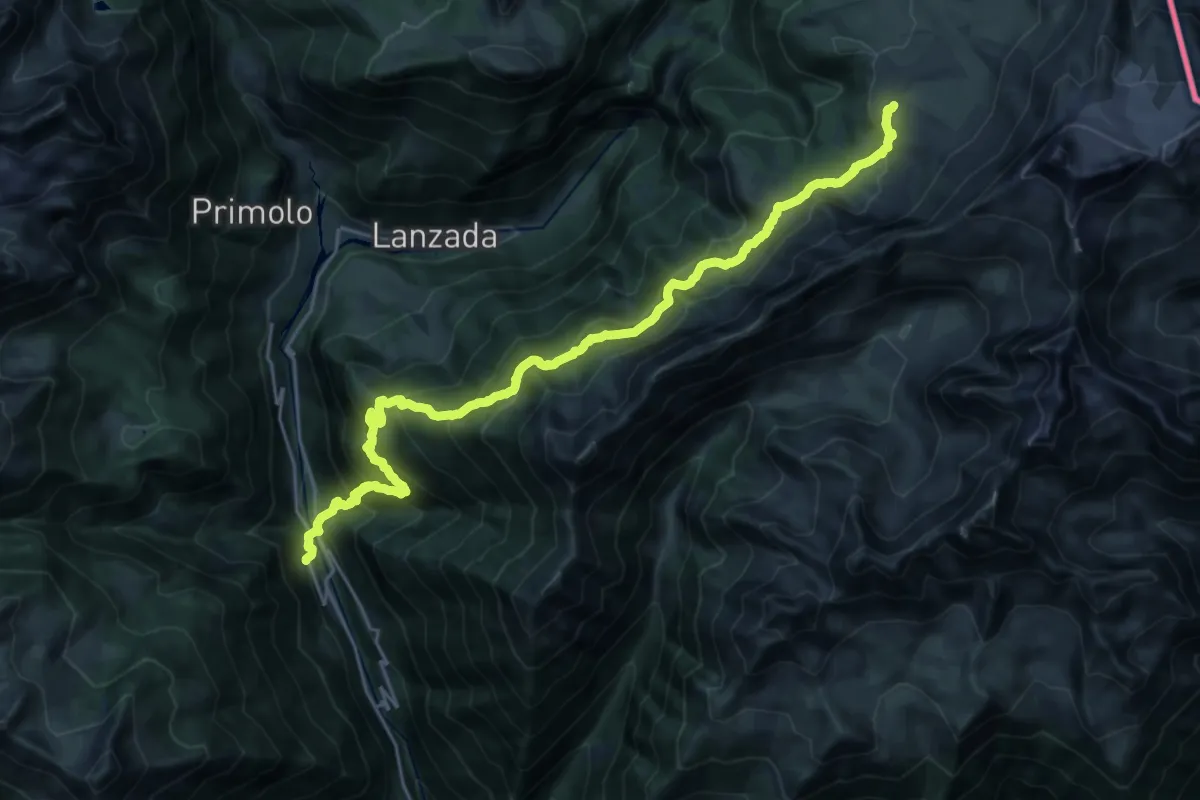
Demanding · Cabin
Alta Via della Valmalenco - Tappa 8
13.2 km · ↑ 1676 m · 6 h 13 min · 7 km away
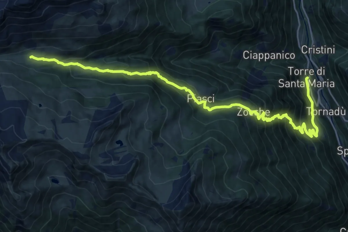
Demanding · Cabin
Torre di Santa Maria – Rifugio Bosio Galli all'Alpe Airale
19.7 km · ↑ 1465 m · 7 h 50 min · 7 km away
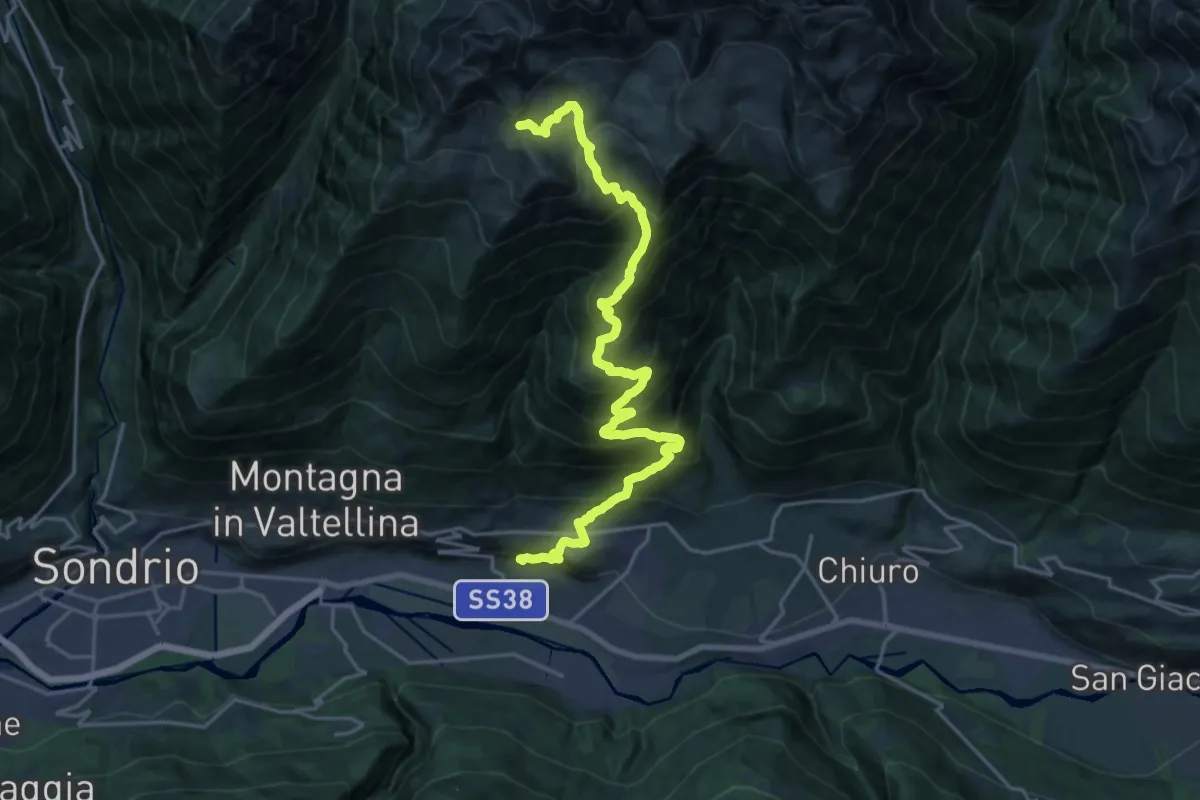
Medium · Trail
Innesto Sentiero 373 – Innesto Sentiero 370 - Bocchetta di Mara
11.3 km · ↑ 33 m · 3 h 52 min · 7 km away
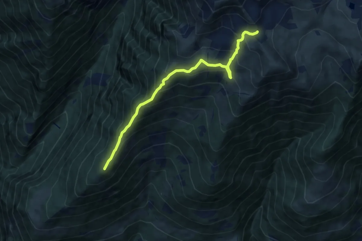
Demanding · Summit
Innesto Sentiero 369 – Bocchetta di Mara
9.2 km · ↑ 803 m · 3 h 55 min · 7 km away
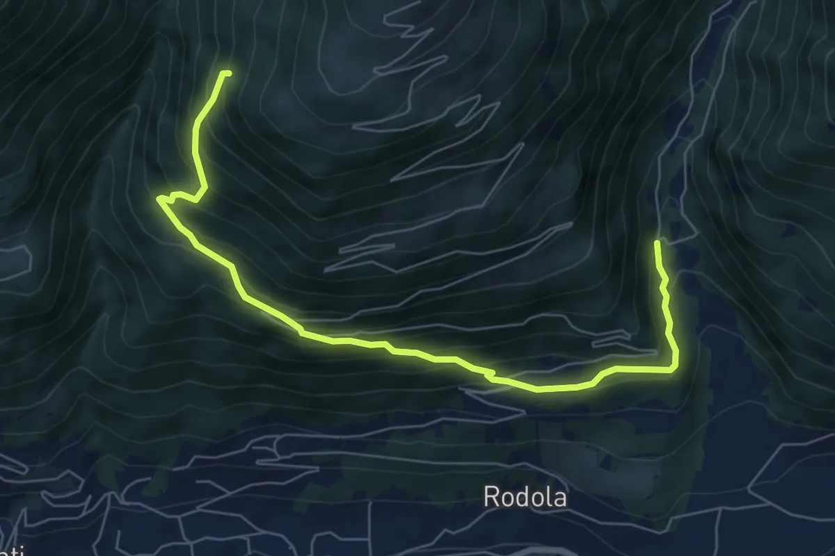
Demanding · Trail
Ca' di Pegulina – Innesto Sentiero 302
7.3 km · ↑ 709 m · 3 h 16 min · 7 km away
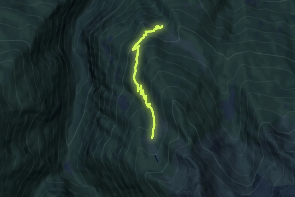
Medium · Trail
Innesto Sentiero 252 – Innesto Sentiero 252
7.0 km · ↑ 457 m · 2 h 39 min · 7 km away
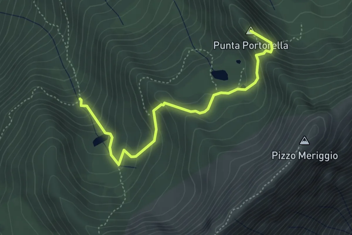
Demanding · Summit
Innesto Sentiero 220 – Innesto Sentiero 216
4.5 km · ↑ 314 m · 1 h 45 min · 7 km away
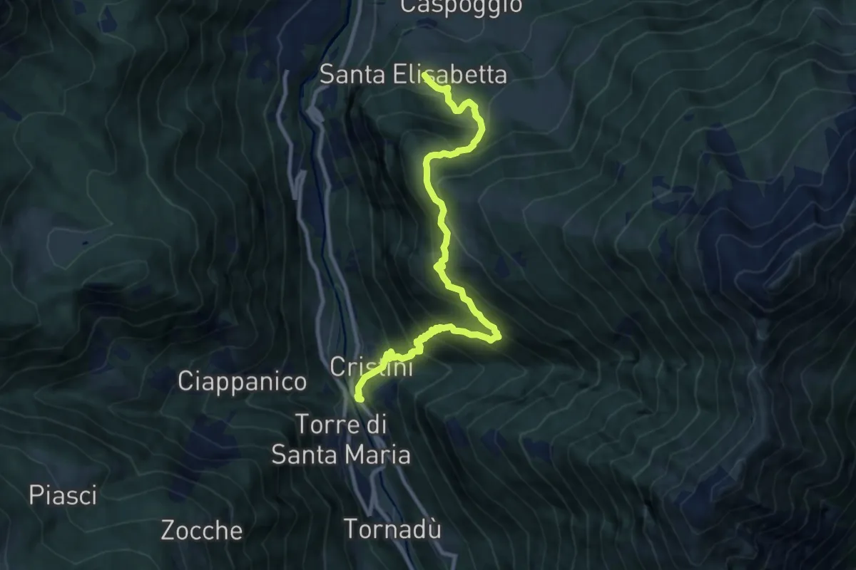
Demanding · Trail
SP 15 – Santa Elisabetta
10.0 km · ↑ 1058 m · 4 h 40 min · 7 km away
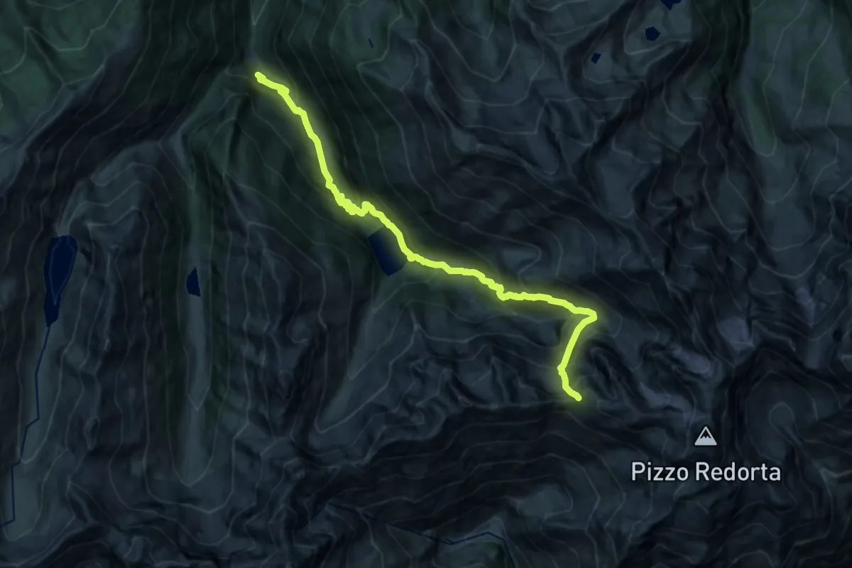
Expert · Trail
Innesto Sentiero 254 – Passo Scaletta
9.3 km · ↑ 1584 m · 5 h 3 min · 7 km away
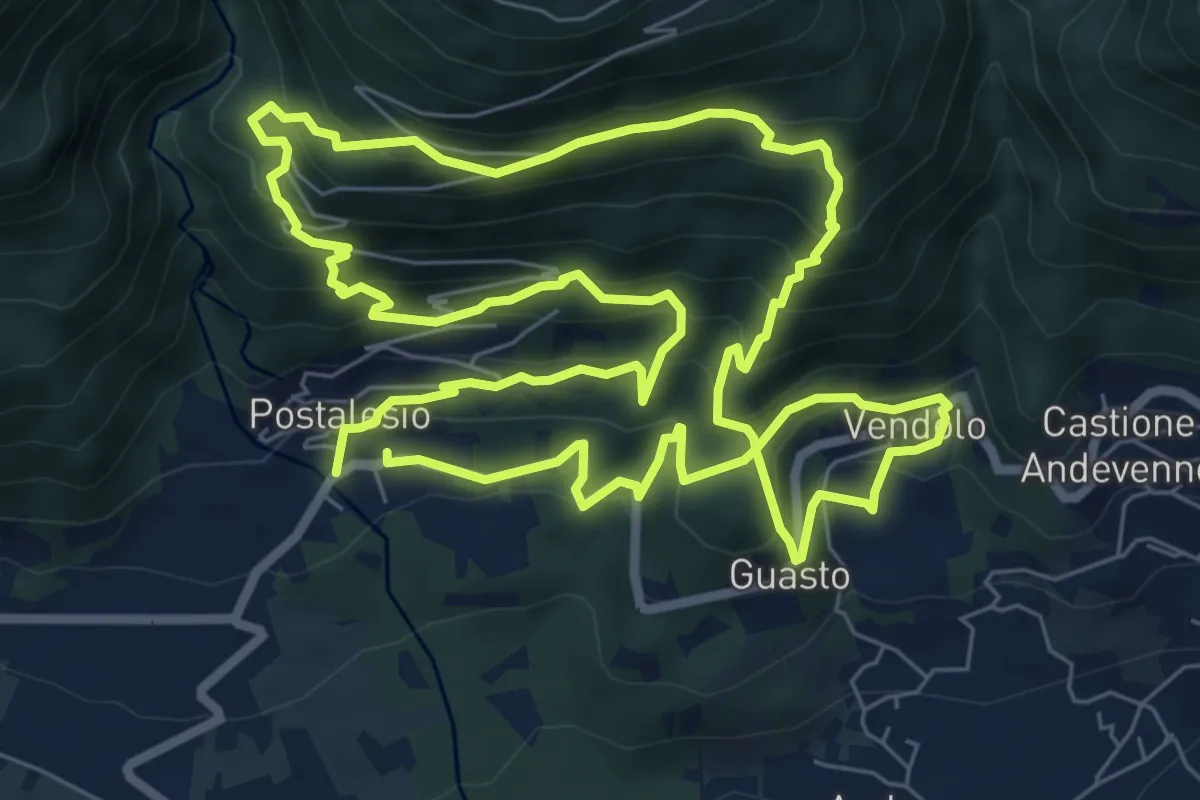
Demanding · Trail
Slalom alle piramidi 2015
8.3 km · ↑ 709 m · 3 h 36 min · 7 km away
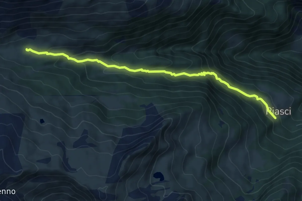
Medium · Cabin
Alta Via della Valmalenco - Tappa 1A
8.2 km · ↑ 392 m · 2 h 47 min · 7 km away
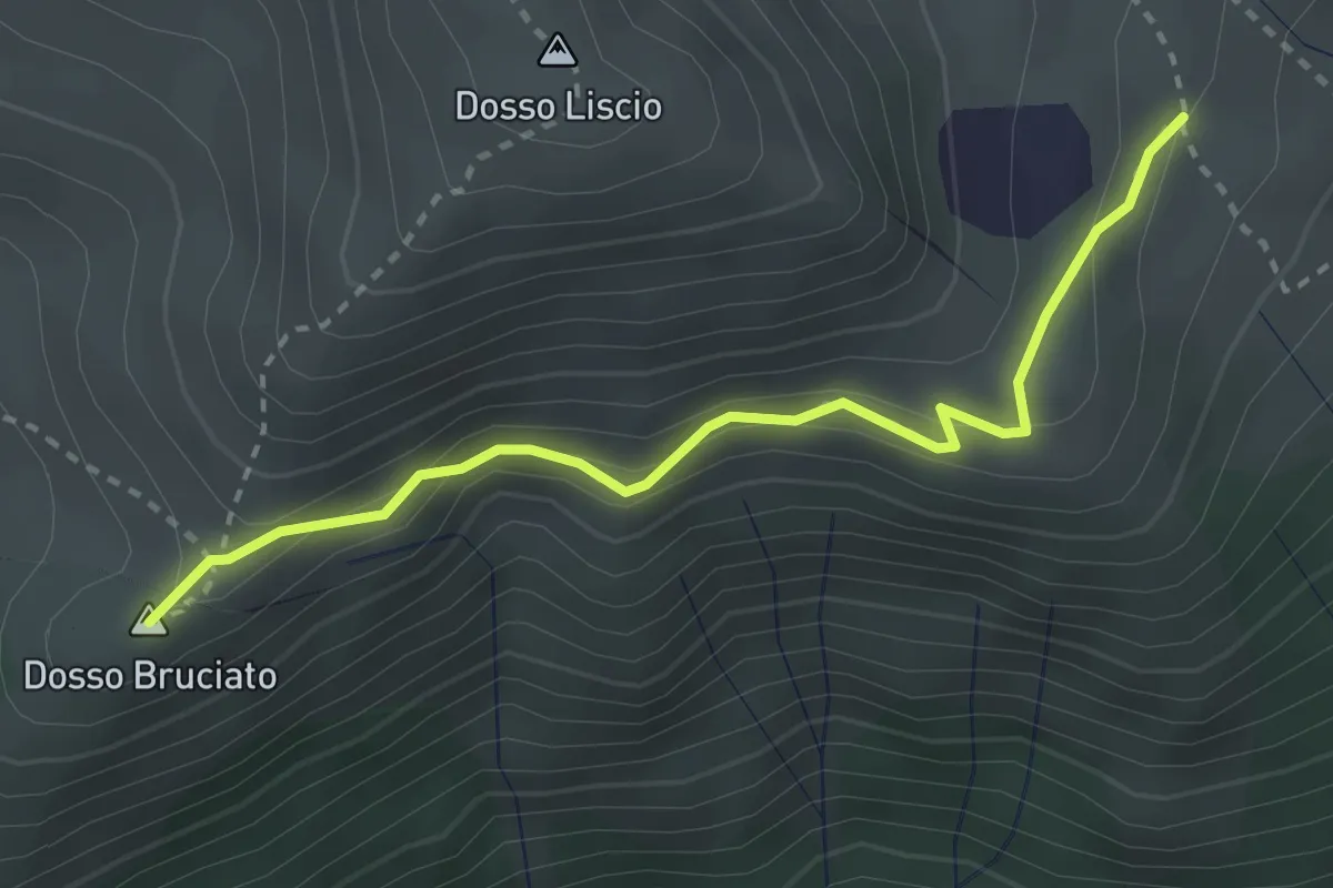
Medium · Summit
Innesto Sentiero 374 – Incrocio Sentiero 371 - 370
2.9 km · ↑ 150 m · 1 h 1 min · 7 km away
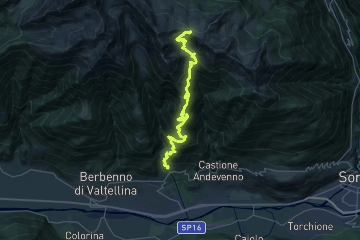
Expert · Trail
Via Rodello (San Martino) – Colma di Zana
11.2 km · ↑ 1972 m · 6 h 7 min · 7 km away
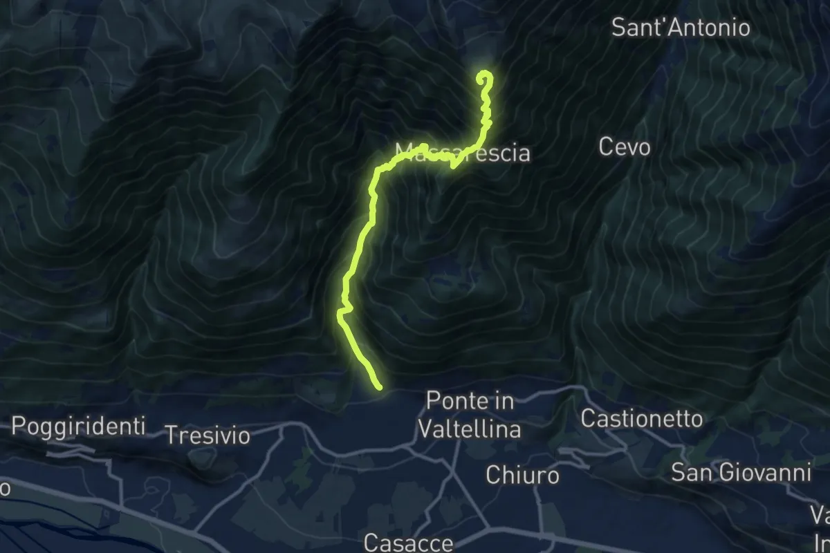
Demanding · Summit
Innesto Sentiero 306 – Innesto Sentiero 377
11.3 km · ↑ 1547 m · 6 h 1 min · 8 km away
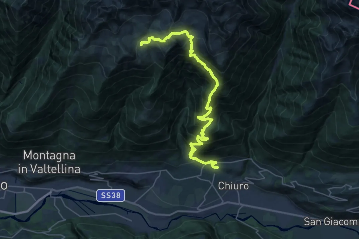
Expert · Trail
Via Bernardini Luini (Ponte in Valtellina) – Innesto Sentiero 374
12.2 km · ↑ 257 m · 4 h 27 min · 8 km away
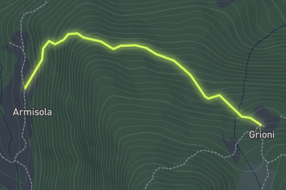
Medium · Cabin
Innesto Sentiero 264 – Innesto Sentiero 264
2.6 km · ↑ 255 m · 1 h 10 min · 8 km away
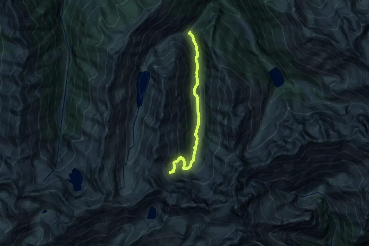
Demanding · Trail
Innesto Sentiero 254 – Passo di Cigola
12.9 km · ↑ 883 m · 4 h 58 min · 8 km away
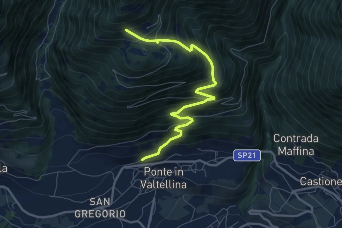
Medium · Trail
Ponte in Valtellina – Innesto Sentiero 302 - 377
7.3 km · ↑ 725 m · 3 h 18 min · 8 km away
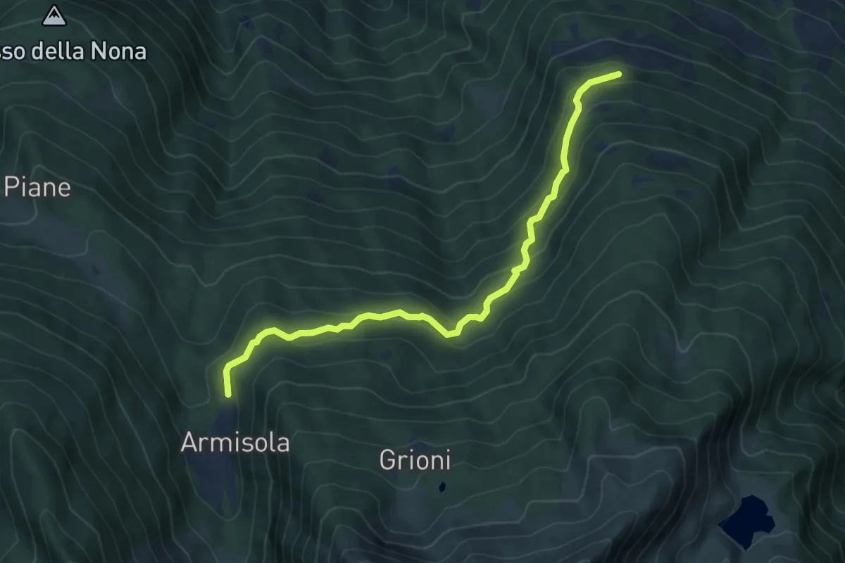
Medium · Trail
Innesto Sentiero 264 – Innesto Sentiero 267
6.8 km · ↑ 451 m · 2 h 35 min · 8 km away
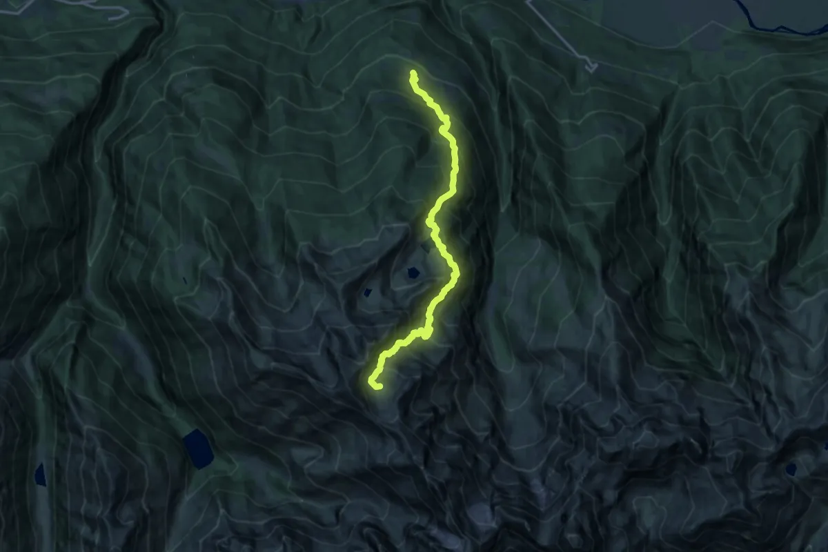
Expert · Cabin
Innesto Sentiero 267 – Innesto Sentiero 268
15.8 km · ↑ 1787 m · 7 h 36 min · 8 km away
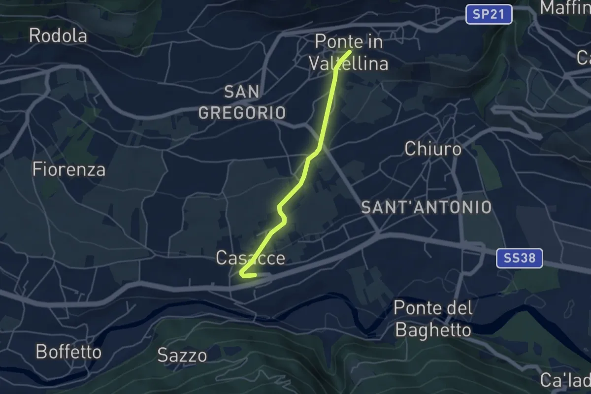
Easy · Trail
Innesto Sentiero 306 – SS 38
3.8 km · ↑ 99 m · 1 h 6 min · 9 km away
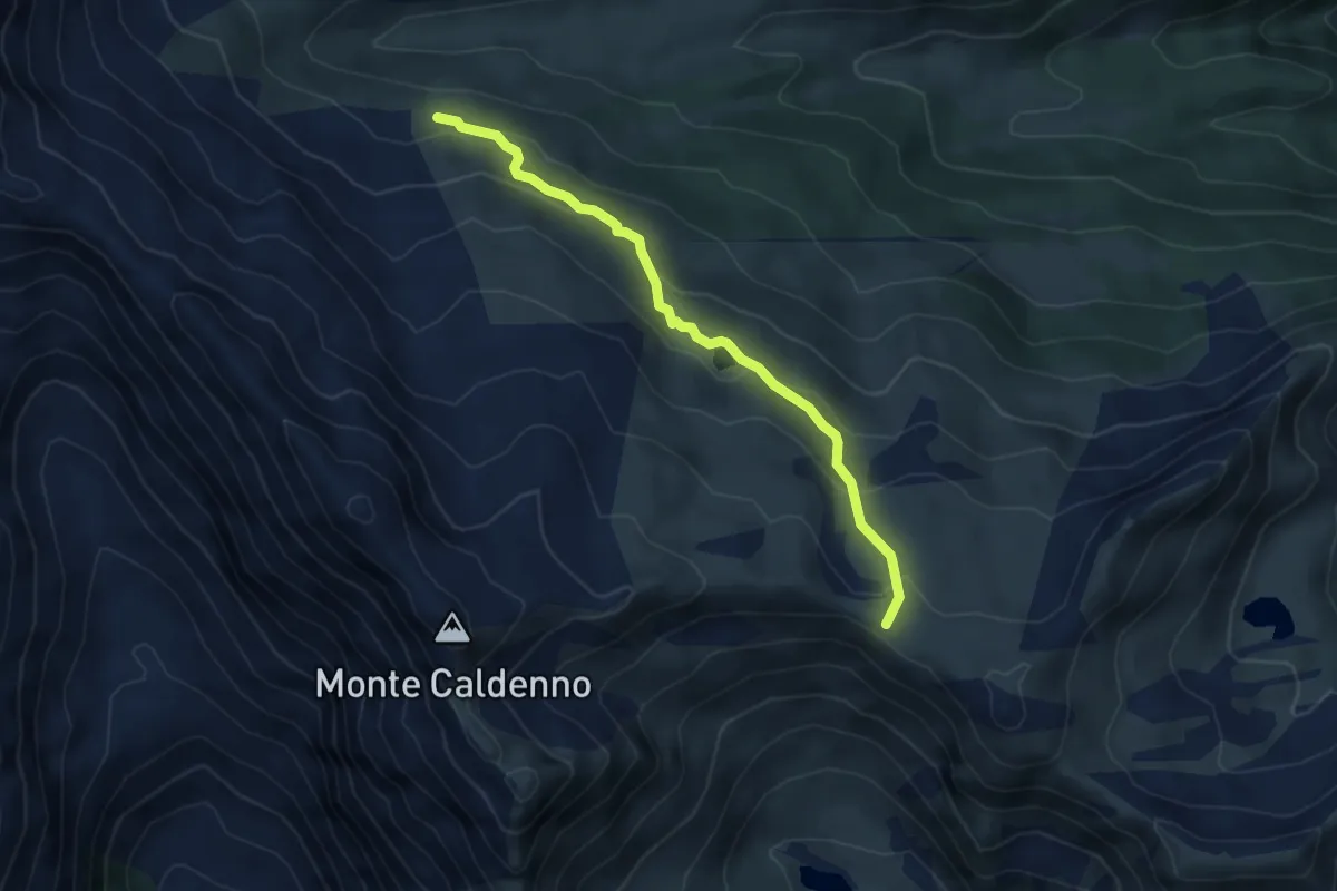
Medium · Trail
Alta Via della Valmalenco - Tappa 1B
4.7 km · ↑ 266 m · 1 h 41 min · 9 km away
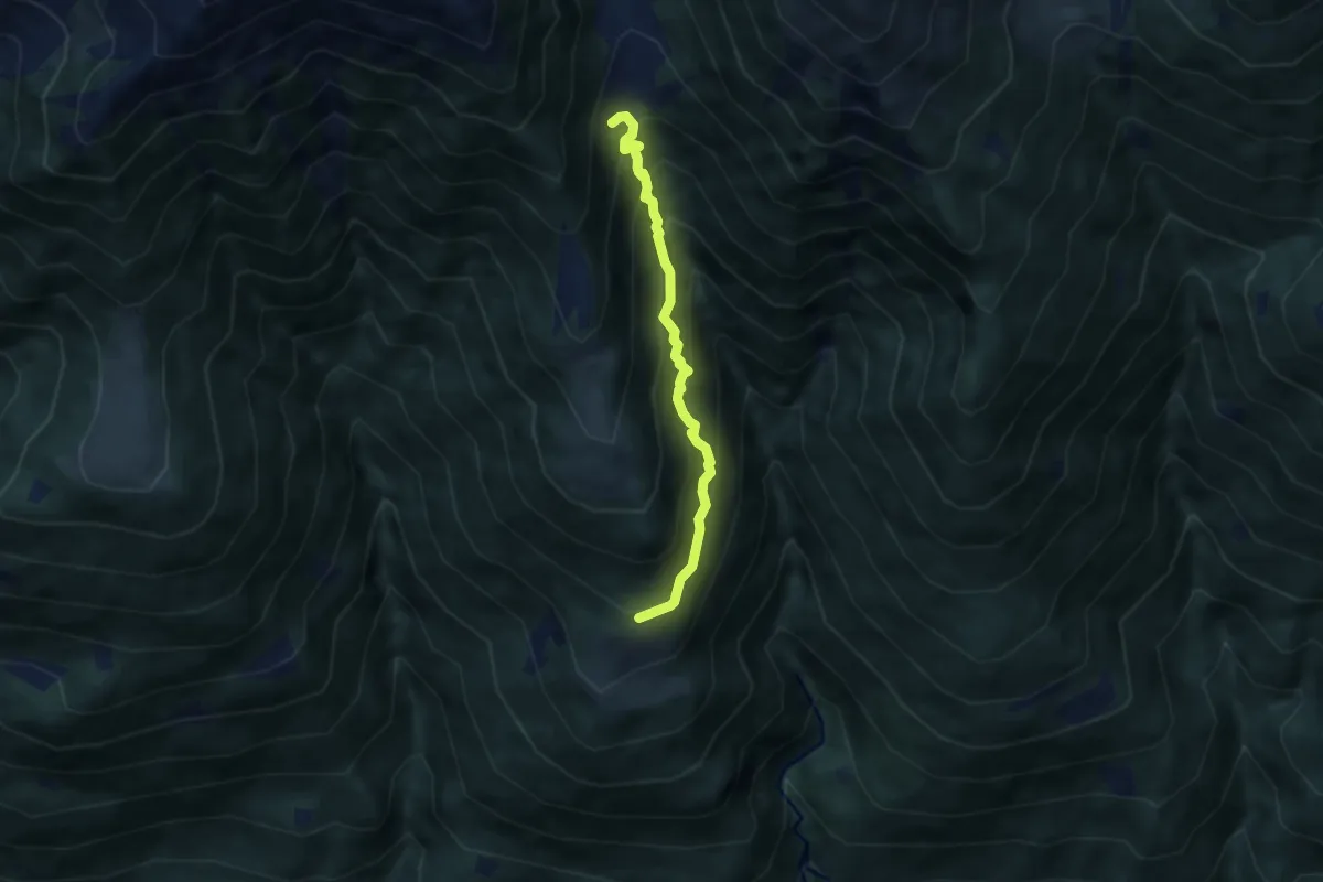
Medium · Trail
Innesto Sentiero 420 – Innesto Sentiero 401
5.5 km · ↑ 725 m · 2 h 52 min · 9 km away
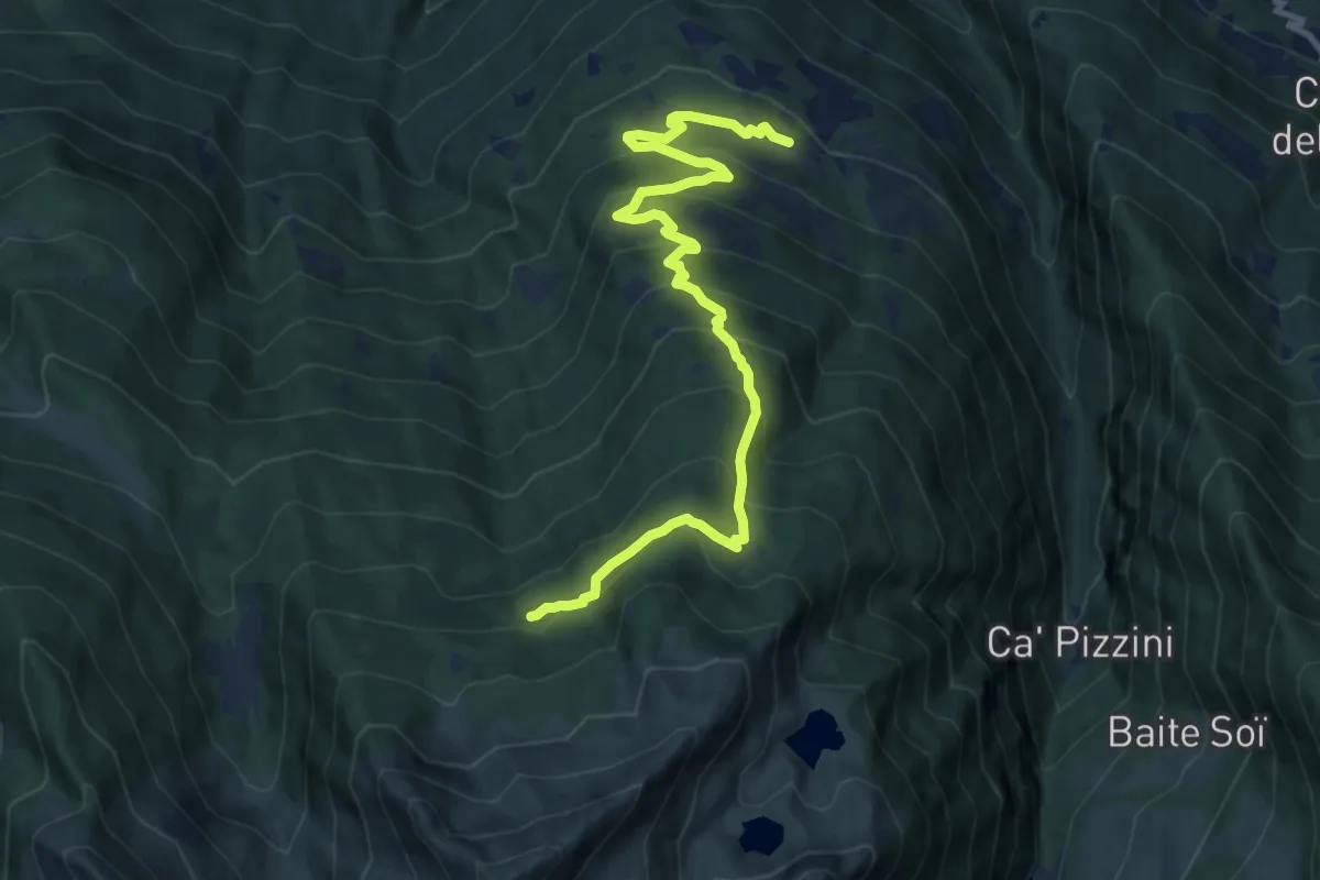
Demanding · Trail
Innesto Sentiero 204 – Innesto Sentiero 264
12.0 km · ↑ 912 m · 4 h 48 min · 9 km away
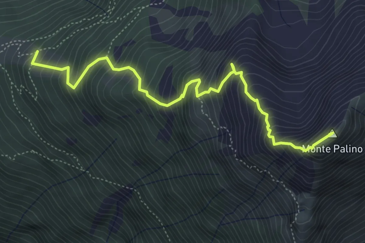
Expert · Summit
Innesto Percorso 305 – Monte Palino
5.8 km · ↑ 863 m · 3 h 14 min · 9 km away
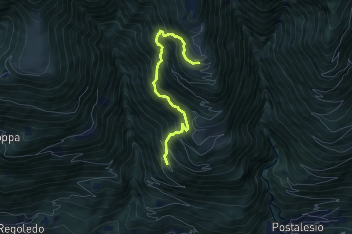
Demanding · Trail
Innesto Sentiero 420 – Innesto Sentiero 420
6.2 km · ↑ 770 m · 3 h 8 min · 9 km away
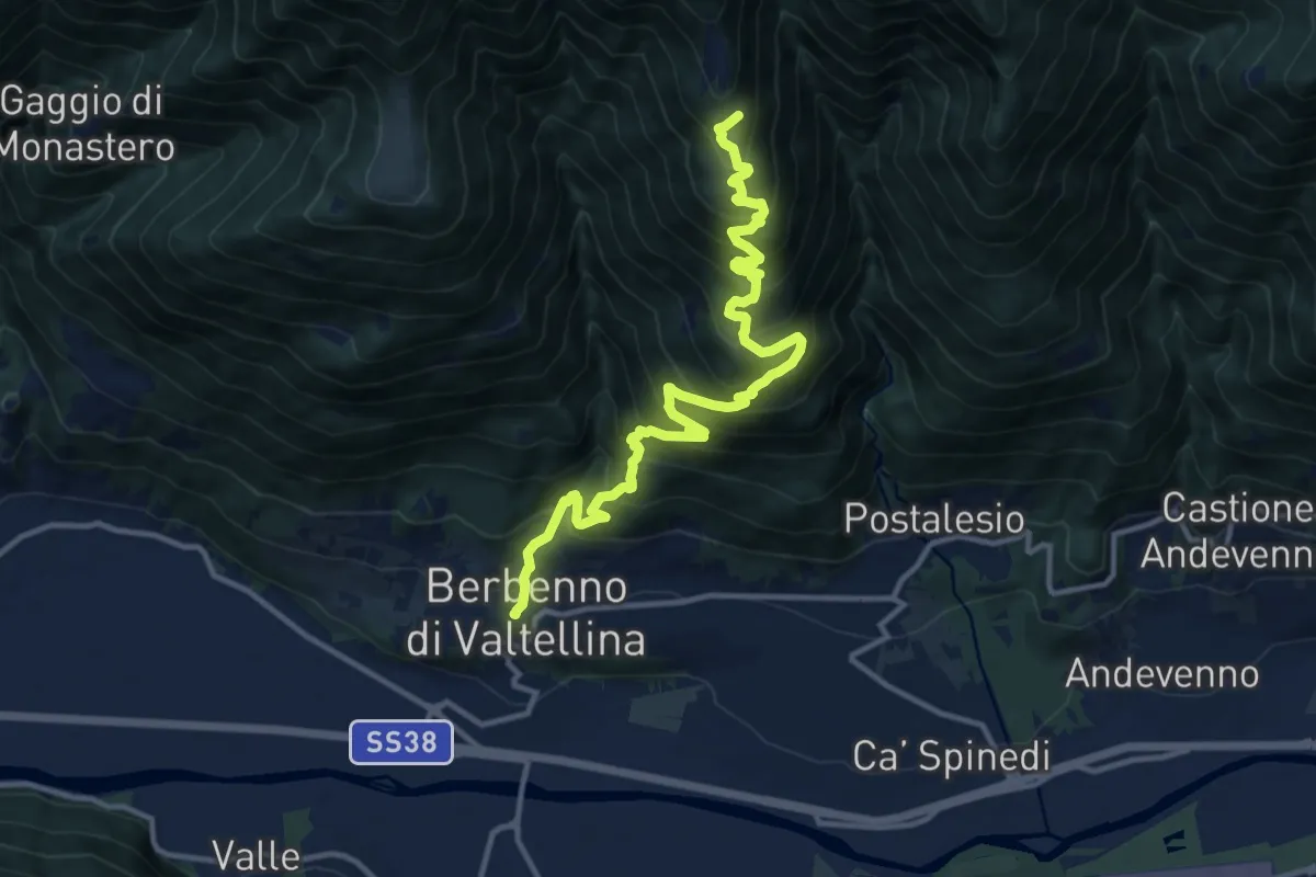
Demanding · Trail
Via Roma (Berbenno di Valtellina) – Innesto Sentiero 401
14.5 km · ↑ 1289 m · 6 h 14 min · 9 km away
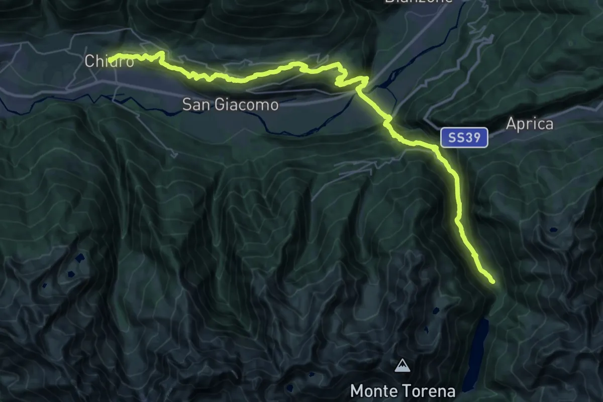
Demanding · Cabin
CamminaForeste - Tappa 5A
20.2 km · ↑ 1542 m · 7 h 56 min · 9 km away
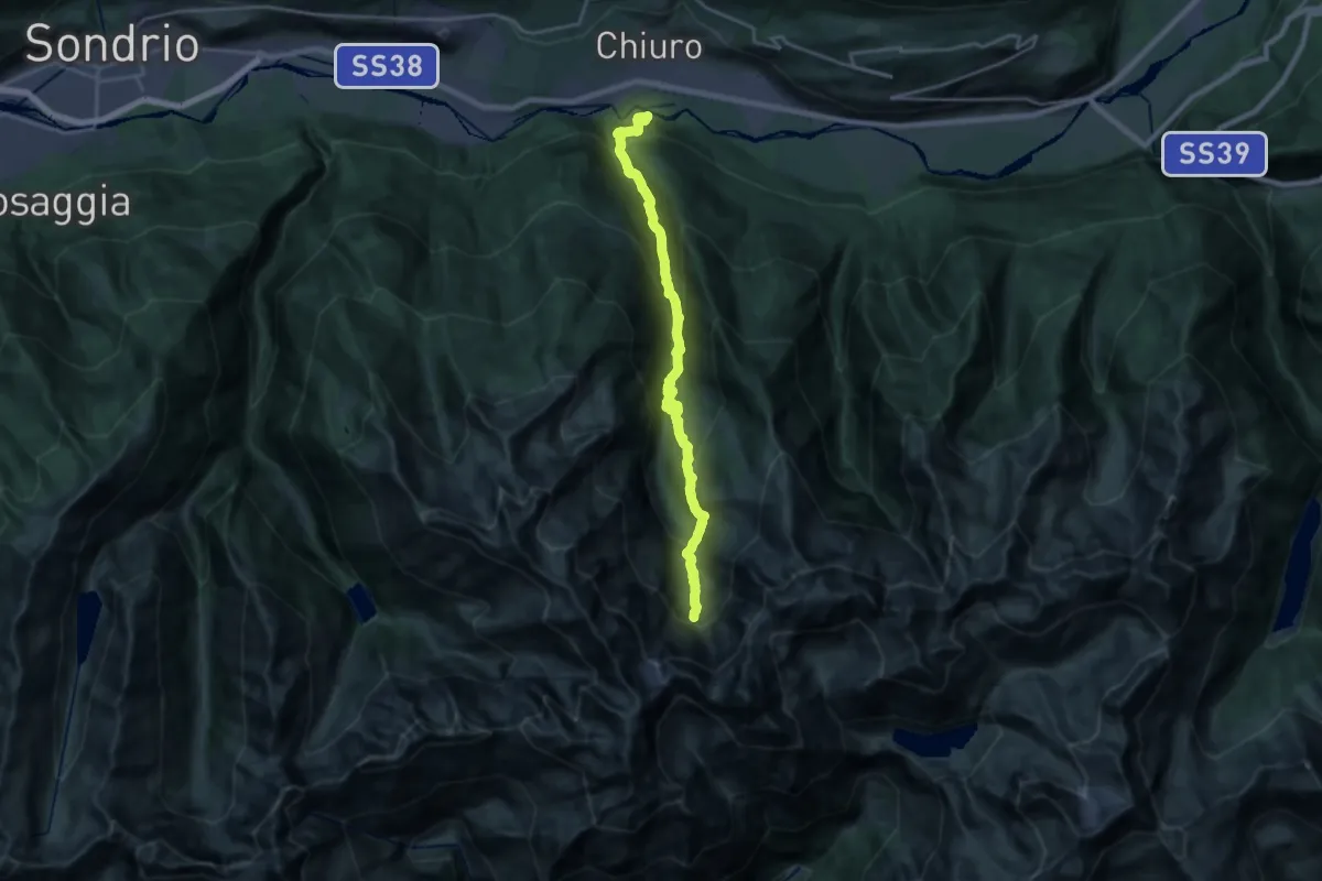
Demanding · Cabin
Innesto Sentiero 203 – Bivacco Resnati
11.1 km · ↑ 1702 m · 5 h 41 min · 9 km away
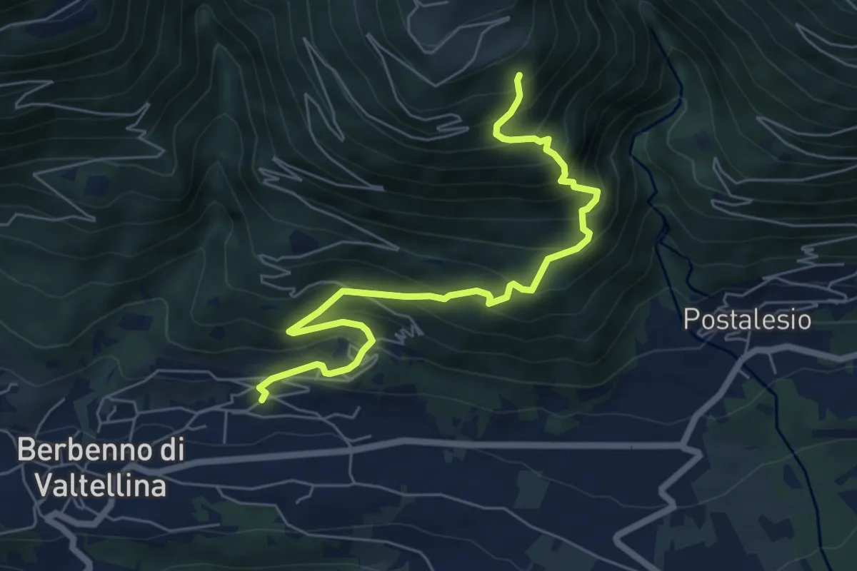
Demanding · Trail
Via Nuova (Berbenno di Valtellina) – Innesto Sentiero 419
6.7 km · ↑ 698 m · 3 h 6 min · 9 km away
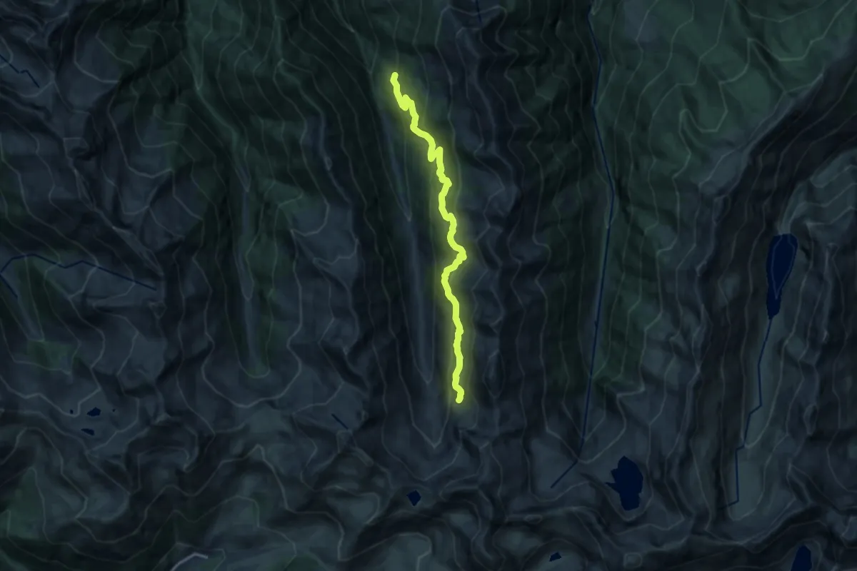
Demanding · Trail
Innesto Sentiero 214 – Innesto Sentiero 201
13.1 km · ↑ 1026 m · 5 h 18 min · 9 km away
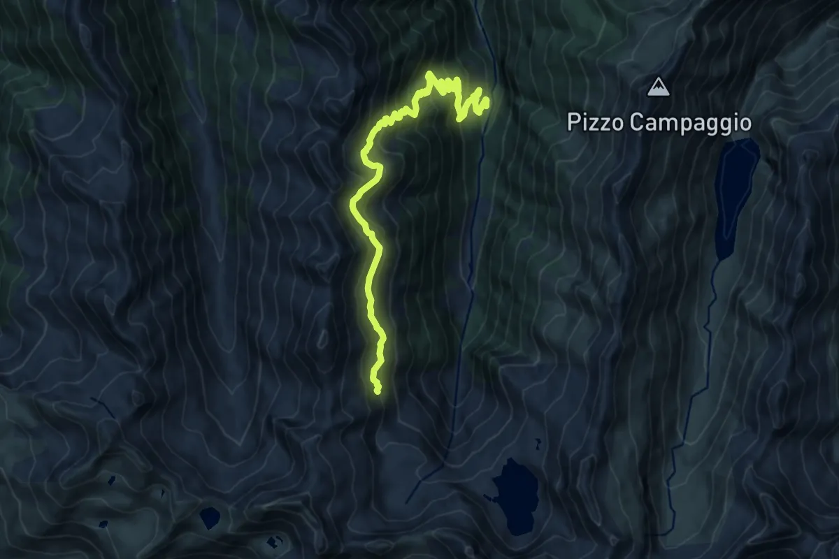
Demanding · Trail
Innesto Sentiero 219 – Innesto Sentiero 201
13.4 km · ↑ 1121 m · 5 h 36 min · 9 km away
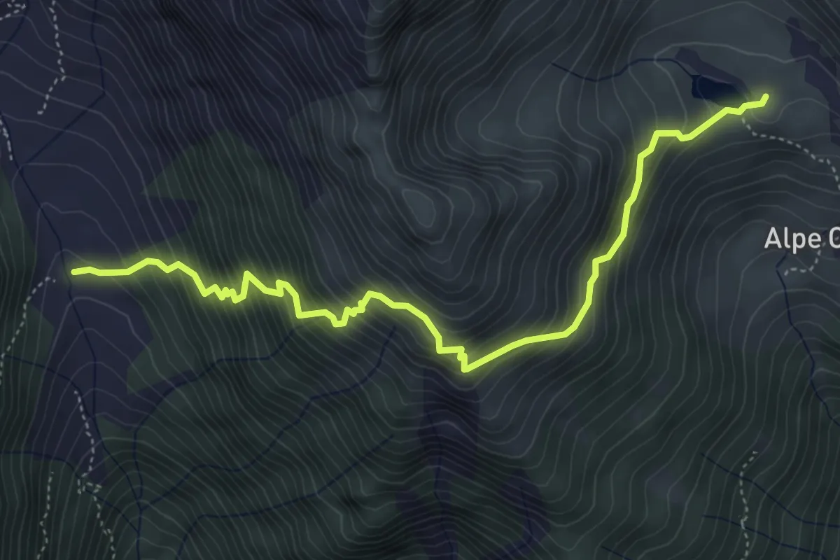
Expert · Cabin
Innesto Sentiero 401 – Innesto Sentiero 416
5.7 km · ↑ 771 m · 3 h 1 min · 10 km away
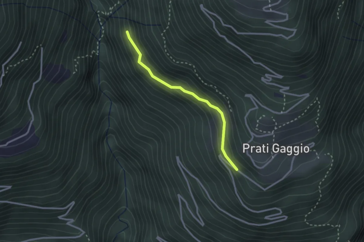
Easy · Trail
Innesto Sentiero 420 – Innesto Sentiero 422
2.3 km · ↑ 141 m · 50 min · 10 km away
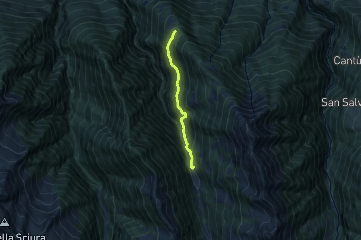
Medium · Trail
Innesto Sentiero 214 – Innesto Sentiero 214
7.4 km · ↑ 745 m · 3 h 22 min · 10 km away
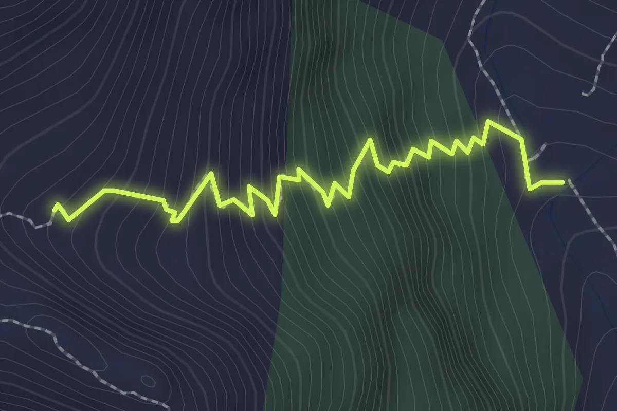
Demanding · Cabin
Innesto Sentiero 401 – Bivacco Ai Fop
2.5 km · ↑ 363 m · 1 h 23 min · 10 km away
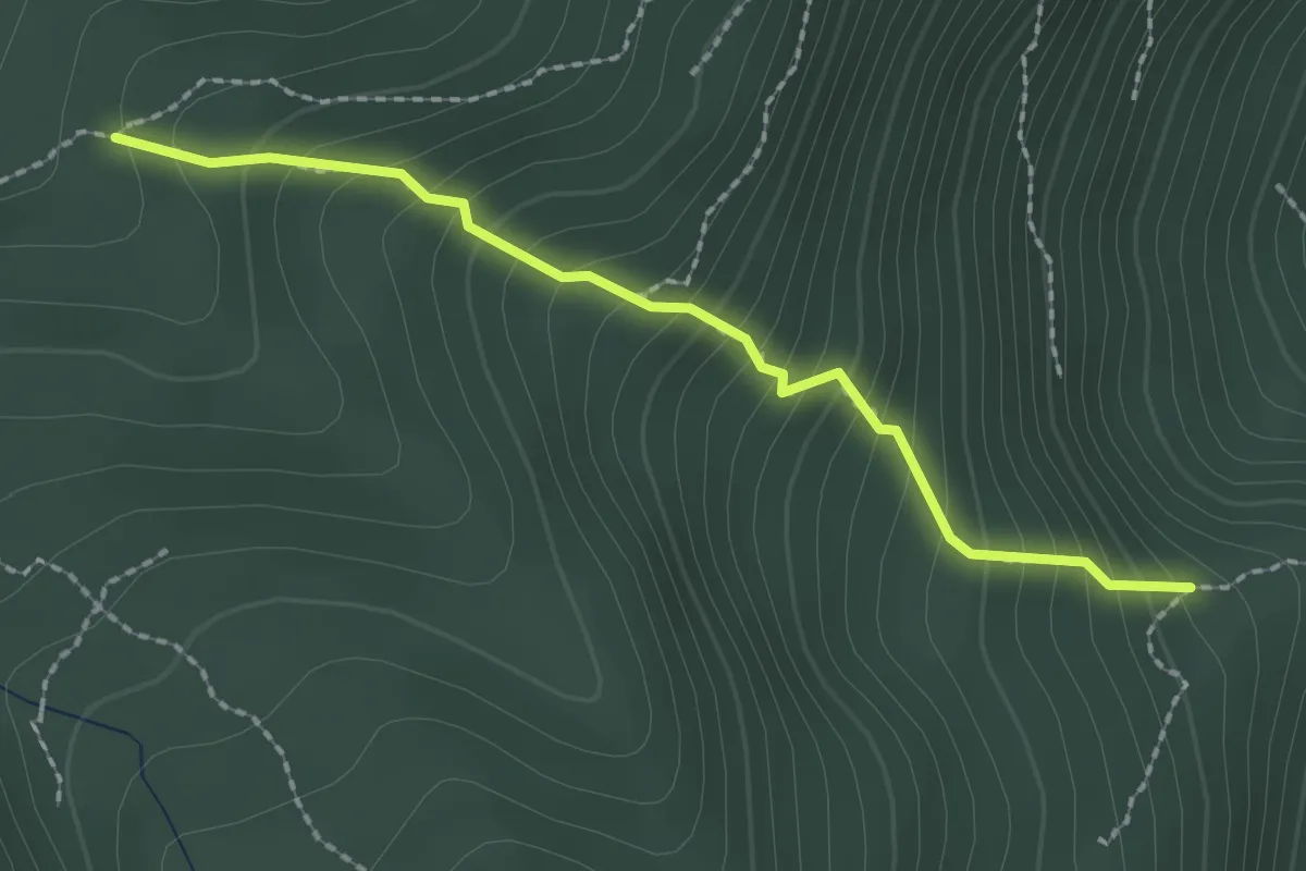
Demanding · Trail
Innesto Sentiero 315 – Innesto Sentiero 301
2.1 km · ↑ 282 m · 1 h 7 min · 10 km away
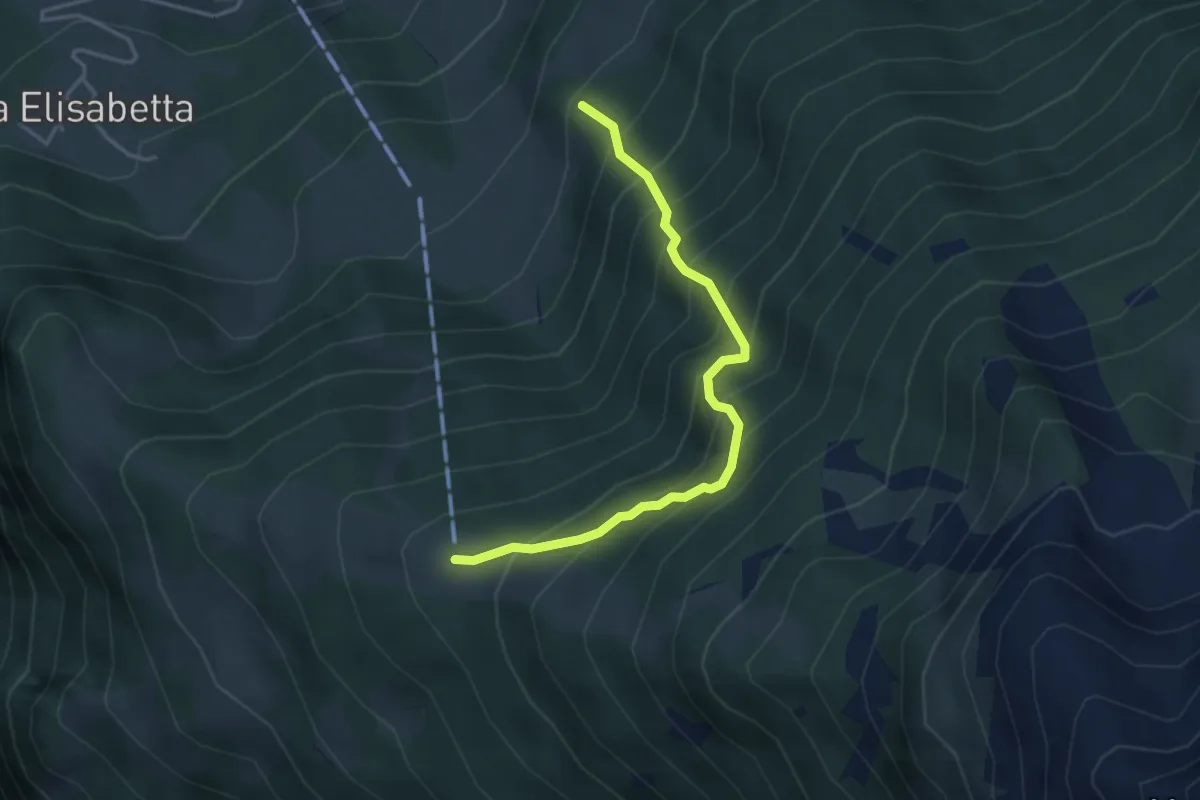
Demanding · Trail
Astù – Innesto 305
3.8 km · ↑ 574 m · 2 h 8 min · 10 km away
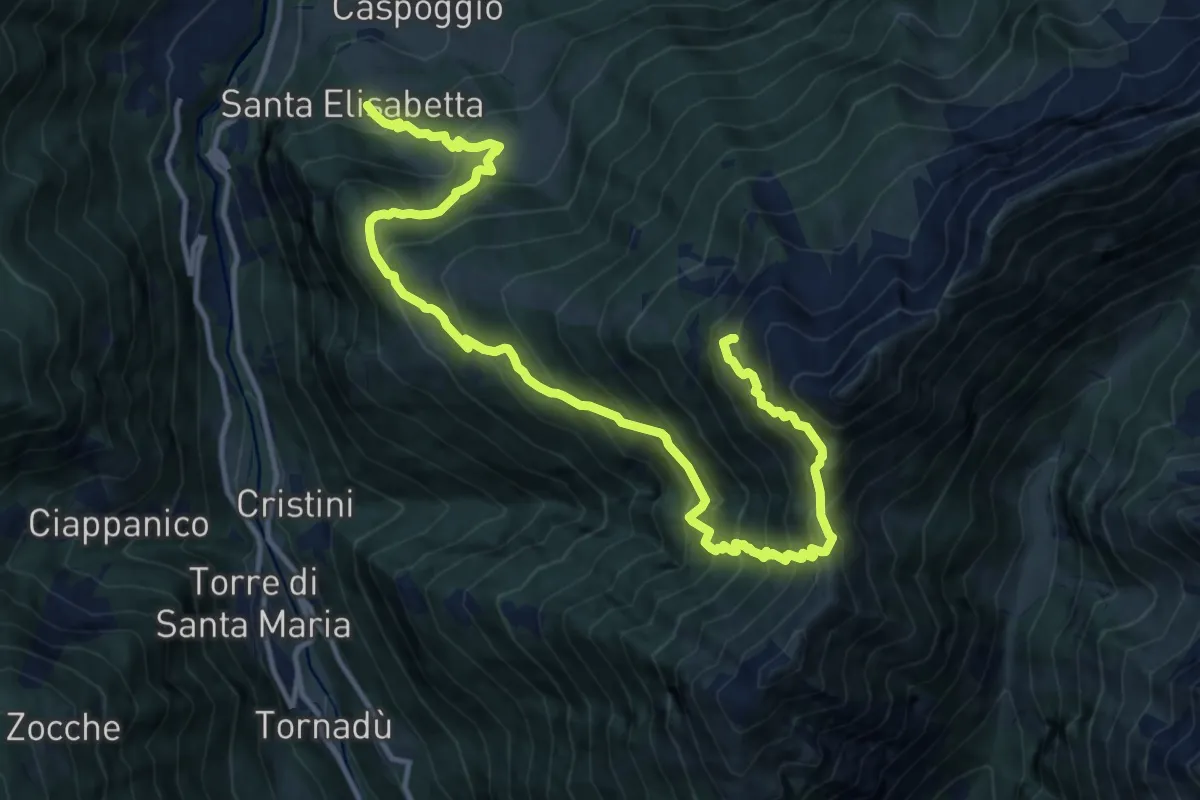
Expert · Cabin
Santa Elisabetta – Innesto Sentiero 355
15.9 km · ↑ 1756 m · 7 h 34 min · 10 km away
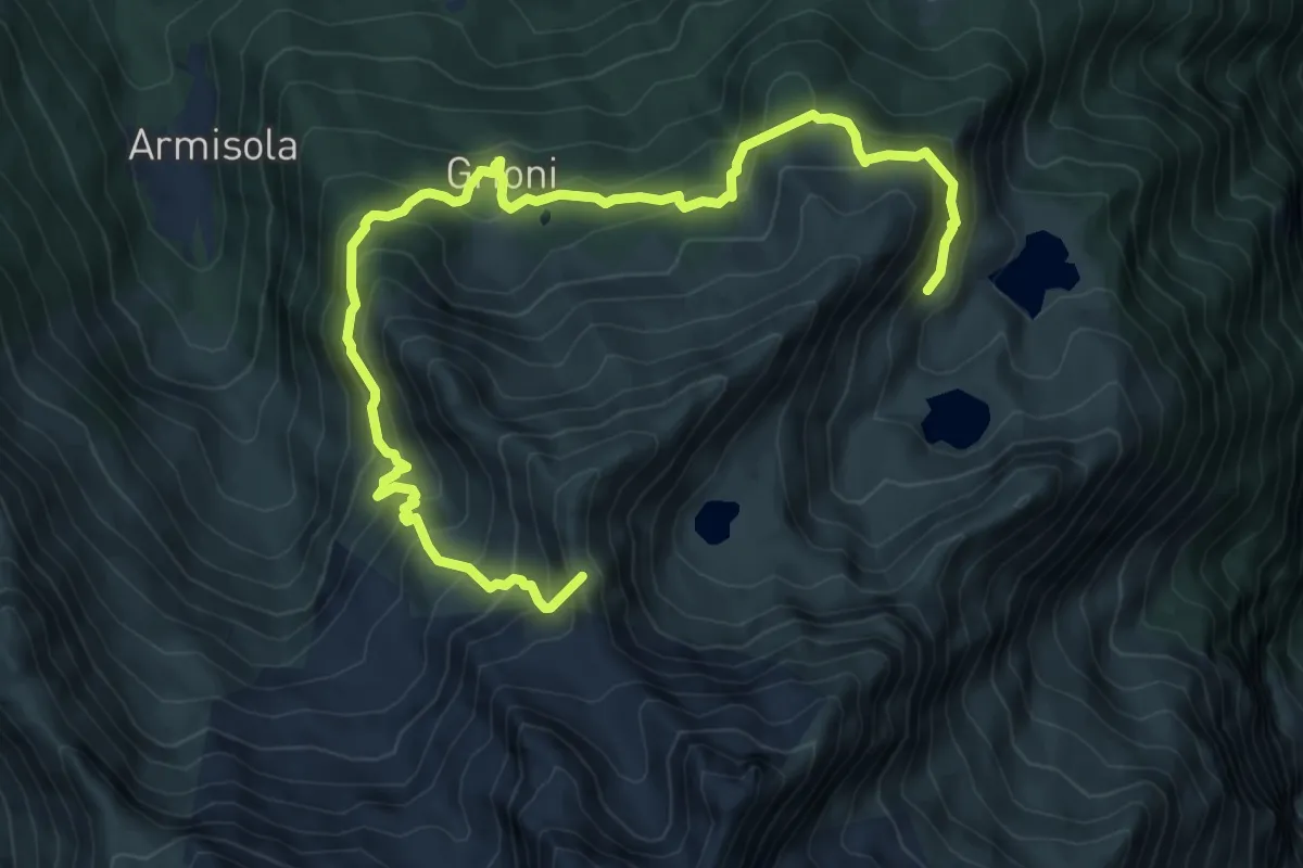
Demanding · Summit
Innesto Sentiero 260 – Innesto Sentiero 260
10.4 km · ↑ 880 m · 4 h 21 min · 10 km away
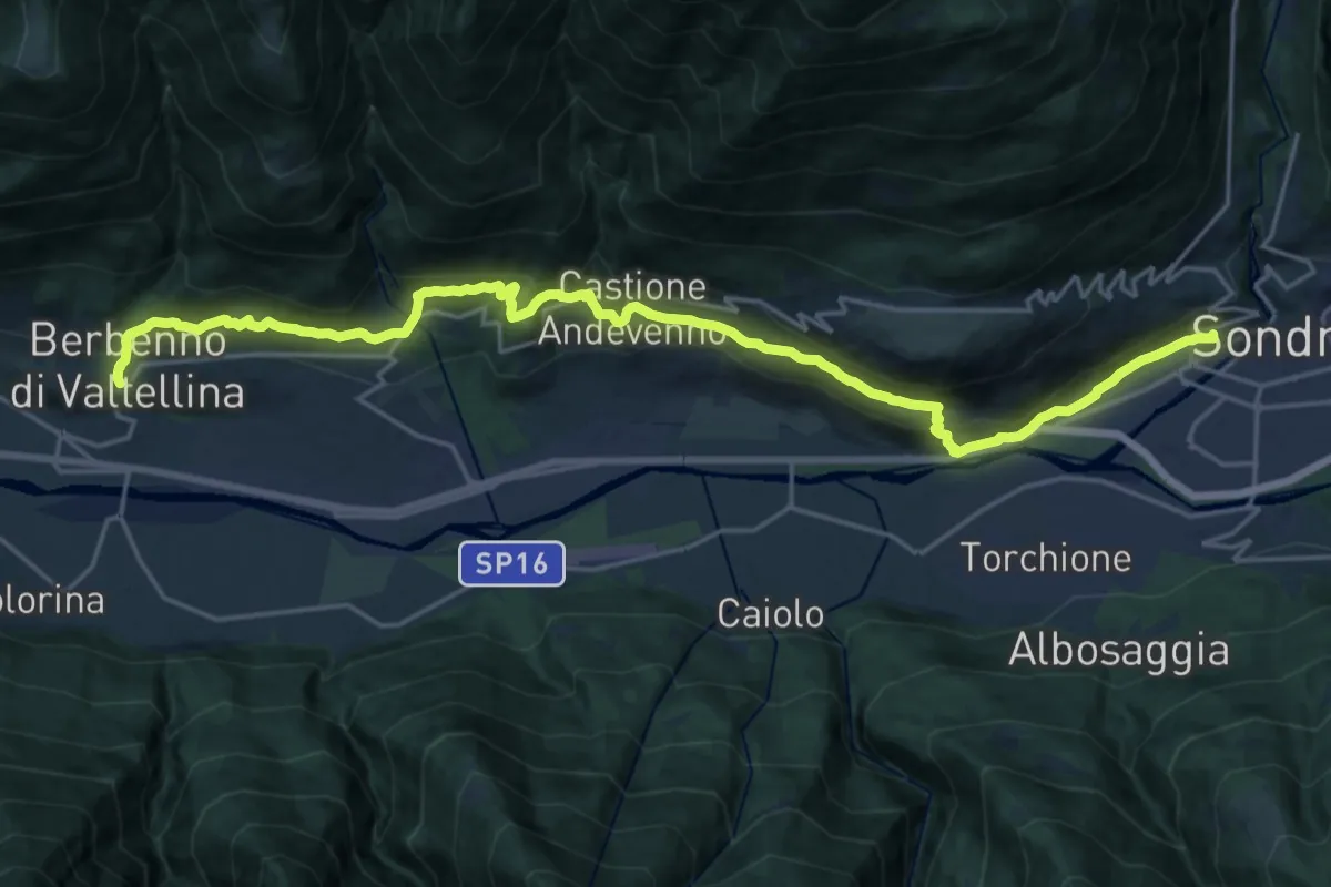
Demanding · Trail
Cammino Mariano delle Alpi - Via Occidentale - Tappa 3
23.8 km · ↑ 914 m · 7 h 35 min · 10 km away
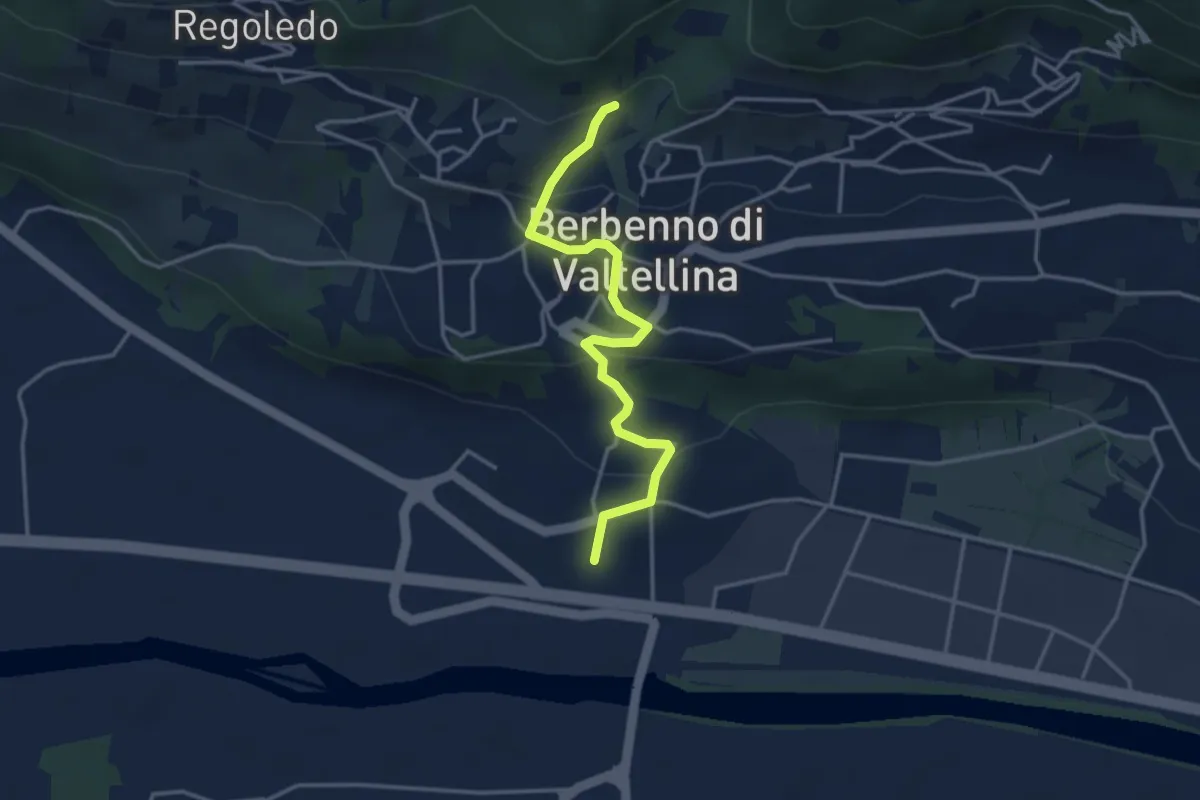
Easy · Trail
Innesto Sentiero 406 – San Pietro Berbenno
3.6 km · ↑ 167 m · 1 h 13 min · 10 km away
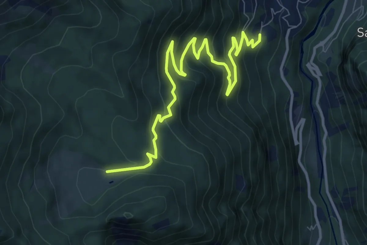
Medium · Trail
Sentiero Roma-Tappa 6
9.9 km · ↑ 662 m · 3 h 46 min · 10 km away
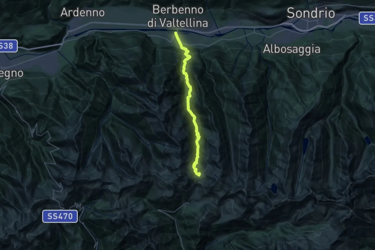
Demanding · Trail
Via San Pietro (Fusine) – Passo Dordona
14.1 km · ↑ 2050 m · 7 h 5 min · 10 km away
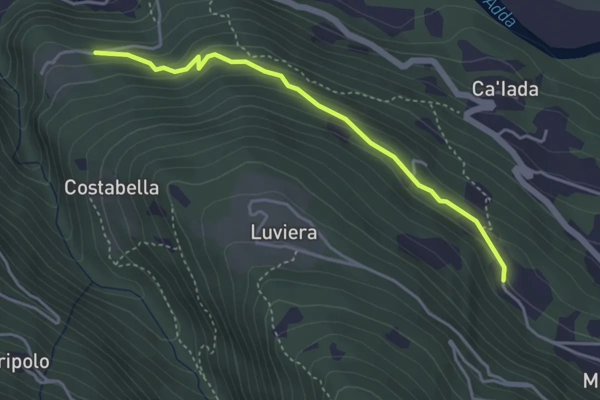
Easy · Trail
Innesto Sentiero 271 – Innesto Sentiero 266
3.5 km · ↑ 206 m · 1 h 16 min · 10 km away