Trails near Sondrio
199 hikes starting within 15 km, nearest first.
Nearest first, page 4 of 5
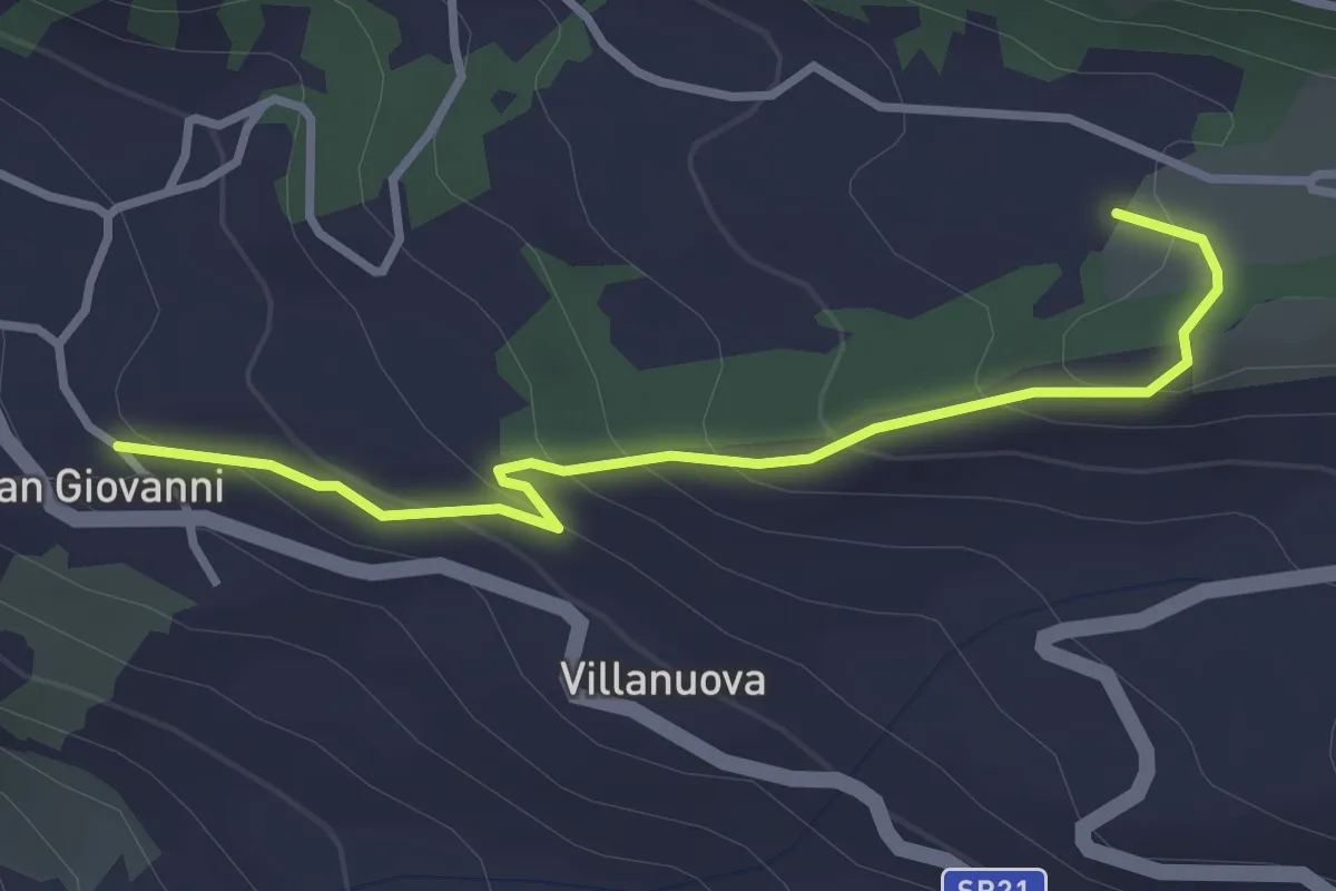
Easy · Trail
Innesto Sentiero 391 – Innesto Sentiero 391B
3.2 km · ↑ 192 m · 1 h 10 min · 13 km away
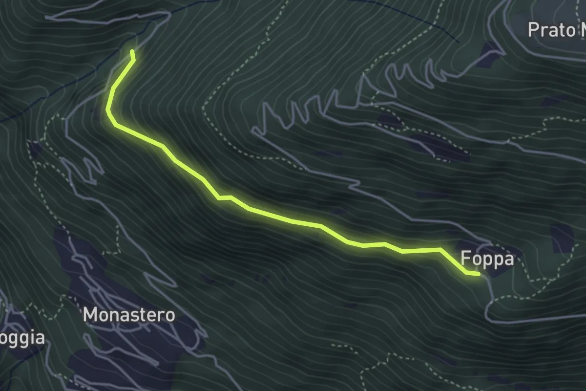
Easy · Trail
Innesto Sentiero 423 – Gaggio di Monastero
3.8 km · ↑ 256 m · 1 h 27 min · 13 km away
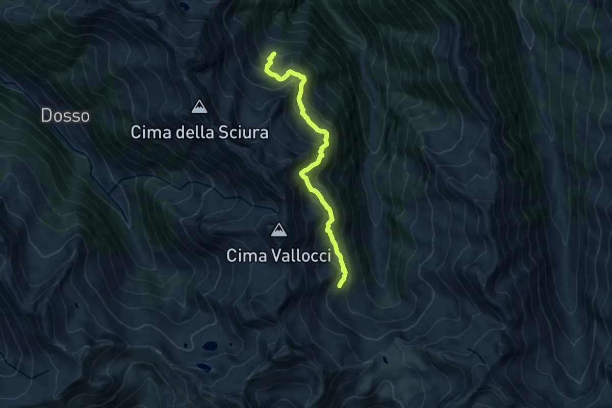
Medium · Cabin
Innesto Sentiero 222 – Innesto Sentiero 228
9.2 km · ↑ 785 m · 3 h 52 min · 13 km away
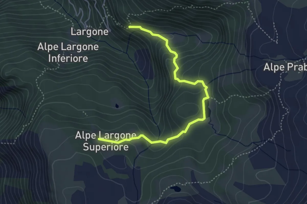
Demanding · Trail
Innesto Sentiero 348 – Innesto Sentiero 350
4.7 km · ↑ 228 m · 1 h 36 min · 13 km away
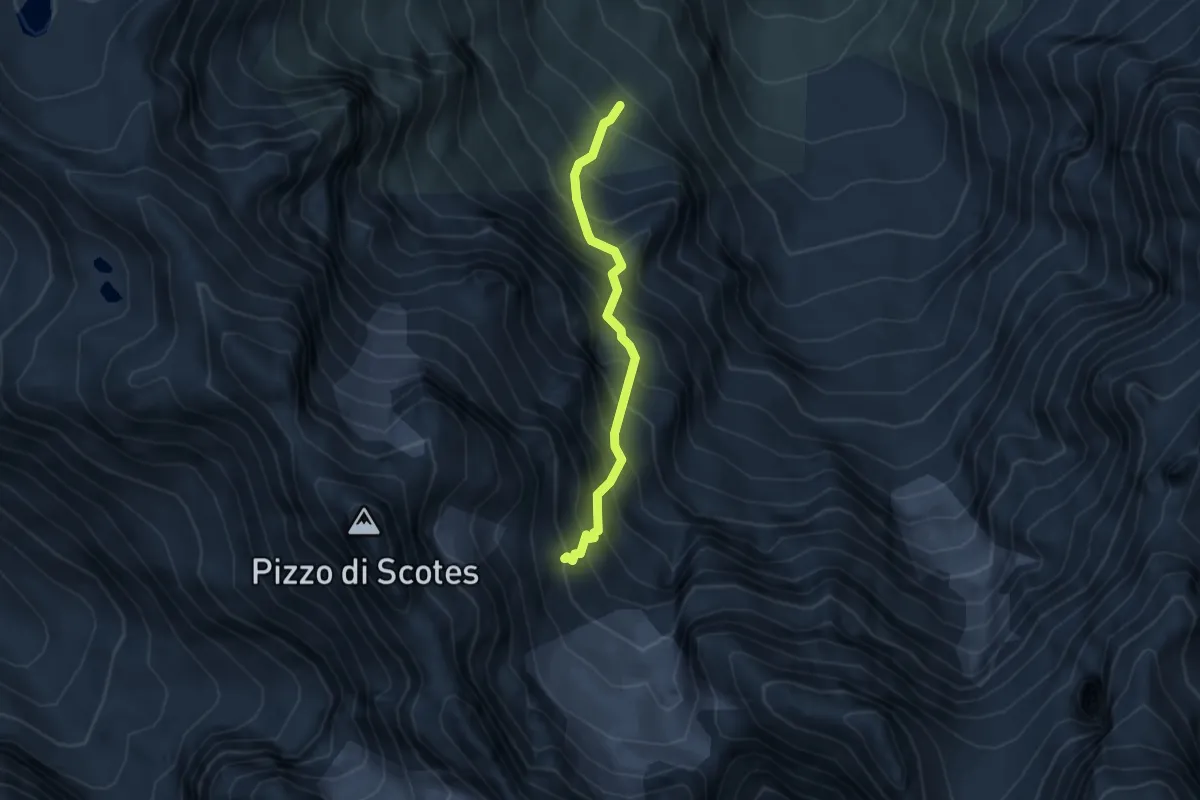
Demanding · Cabin
Innesto Sentiero 201 – Bivacco Corti
3.4 km · ↑ 616 m · 2 h 8 min · 13 km away
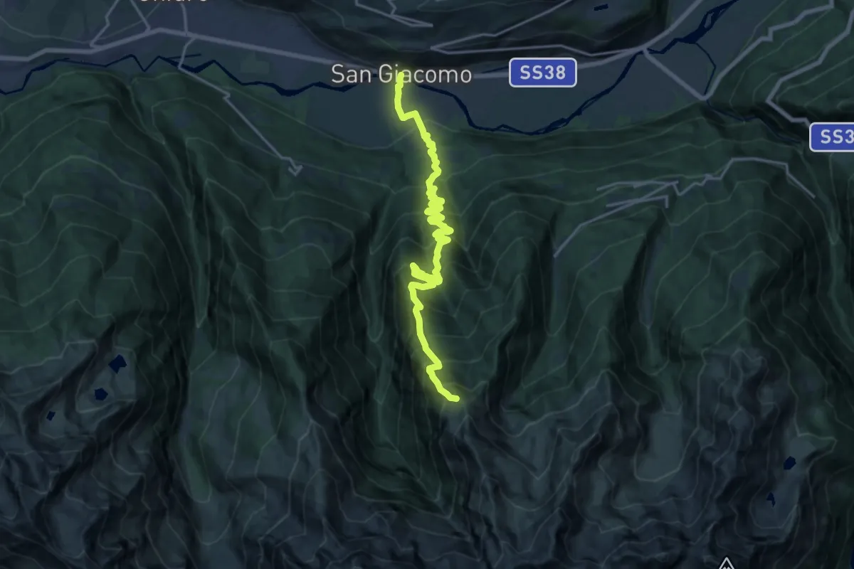
Demanding · Trail
Innesto Sentiero 308 – Innesto Sentiero 301
9.7 km · ↑ 1812 m · 5 h 29 min · 13 km away
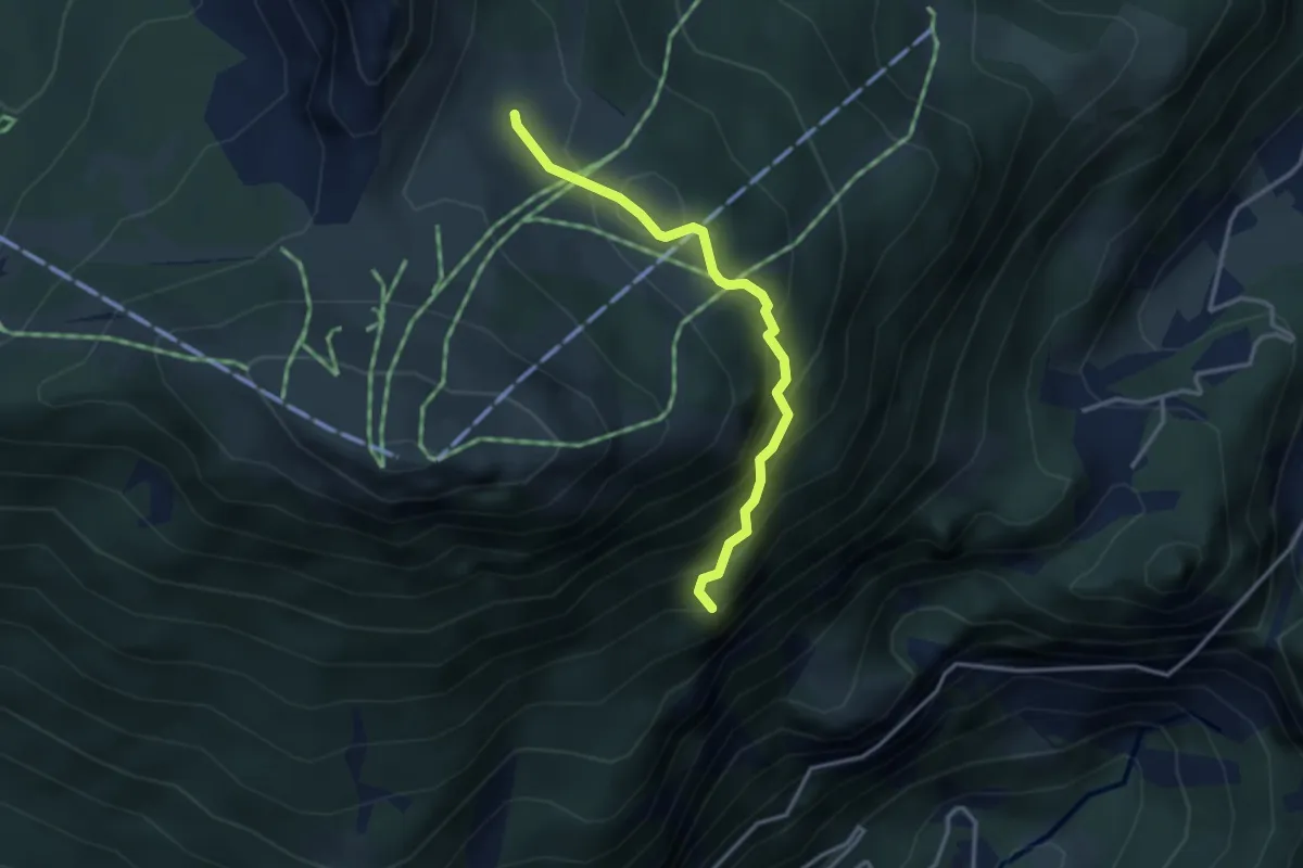
Medium · Trail
Innesto Sentiero 339 – Innesto Sentiero 341
3.1 km · ↑ 341 m · 1 h 28 min · 13 km away
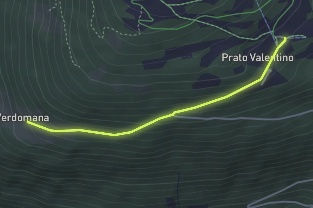
Easy · Cabin
Innesto Sentiero 301 – Innesto Sentiero 301
3.1 km · ↑ 165 m · 1 h 6 min · 13 km away
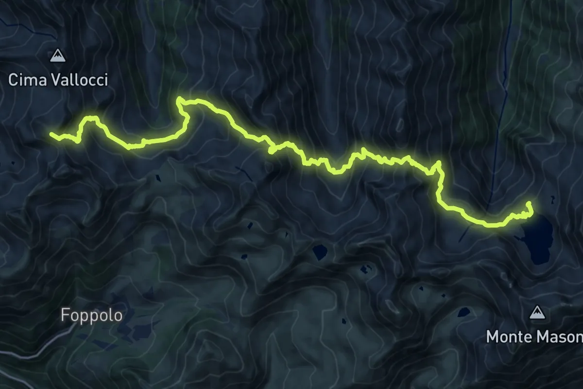
Demanding · Summit
Gran Via delle Orobie - Tappa 6
23.1 km · ↑ 2307 m · 10 h 27 min · 13 km away
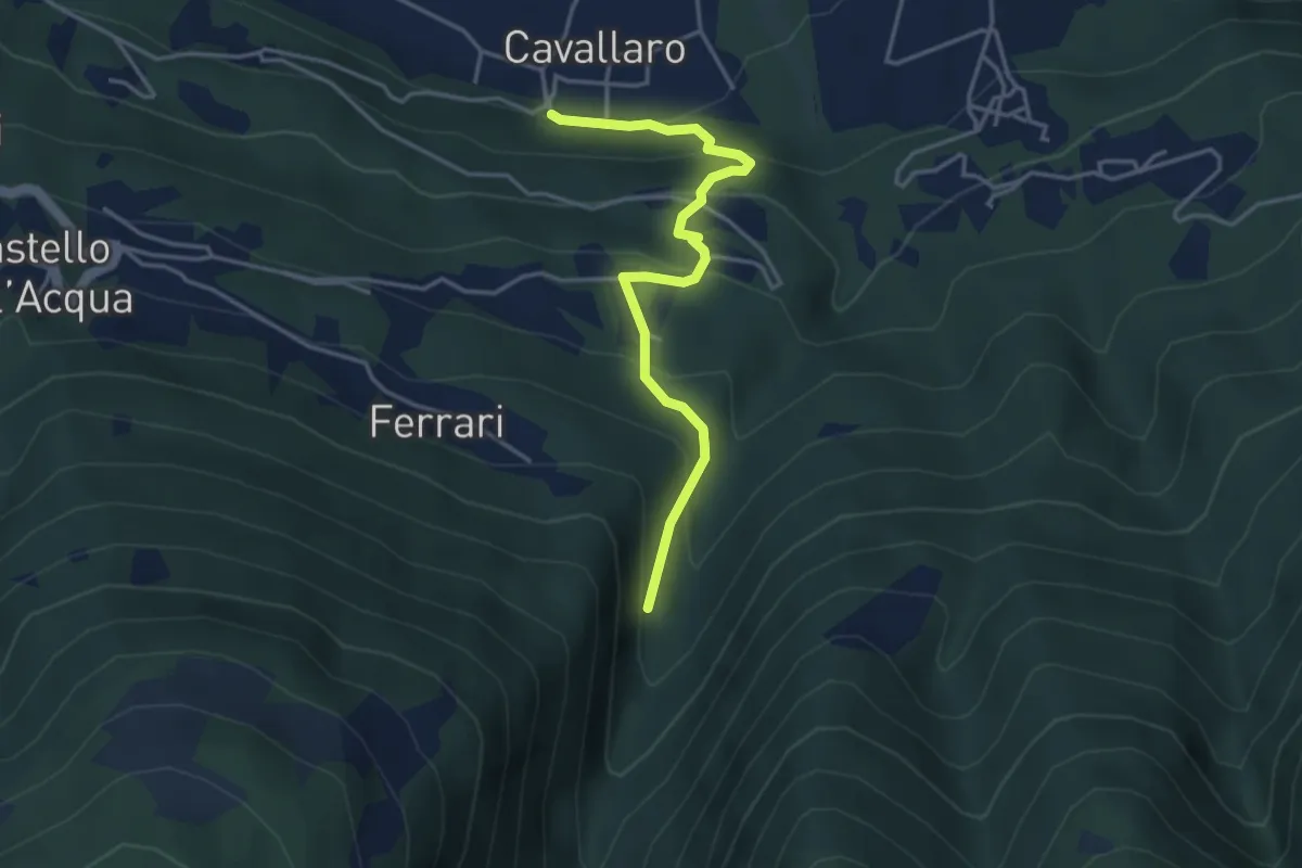
Medium · Trail
Innesto Sentiero 274 – Innesto Sentiero 310
3.9 km · ↑ 326 m · 1 h 38 min · 13 km away
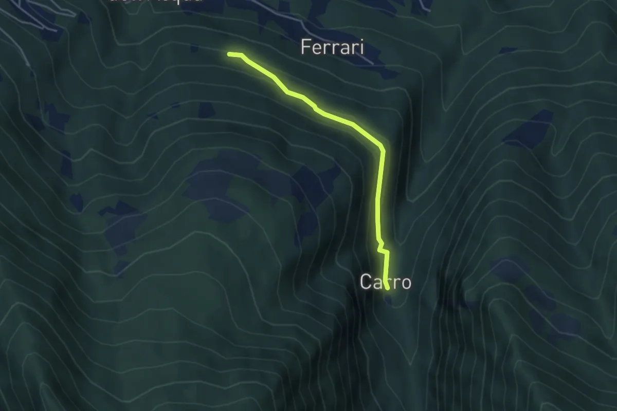
Easy · Trail
Innesto Sentiero 273 – Innesto Sentiero 310
3.5 km · ↑ 154 m · 1 h 9 min · 13 km away
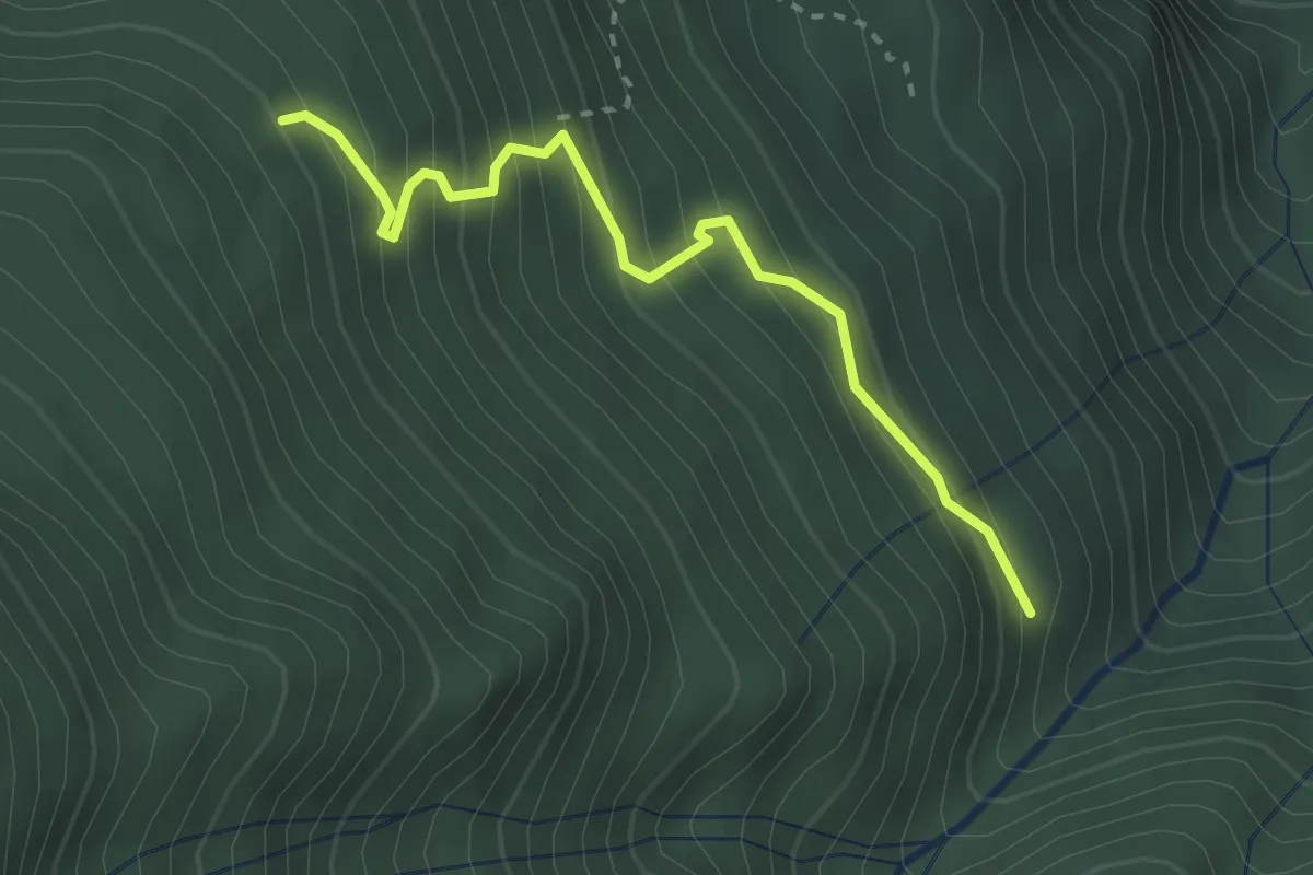
Medium · Trail
Innesto Sentiero 225 – Innesto Sentiero 223
2.8 km · ↑ 331 m · 1 h 23 min · 13 km away
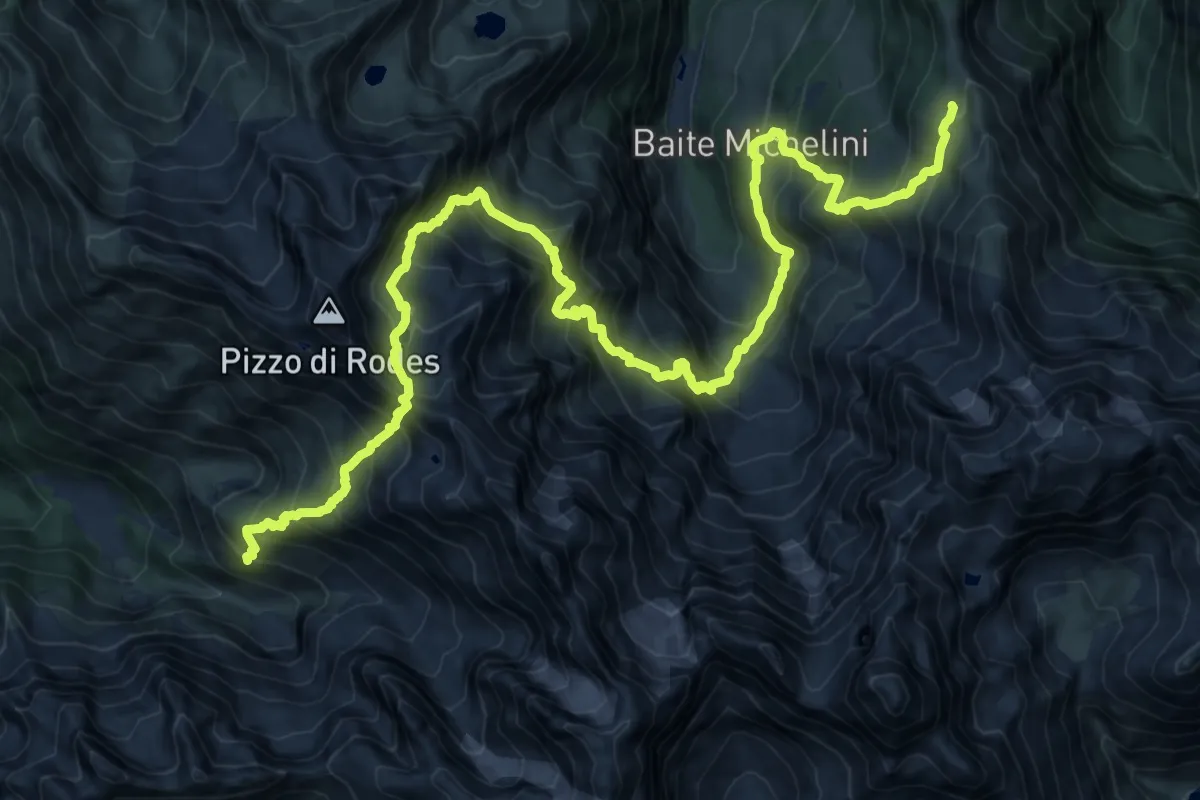
Expert · Cabin
Gran Via delle Orobie - Tappa 8
11.7 km · ↑ 1333 m · 5 h 48 min · 13 km away
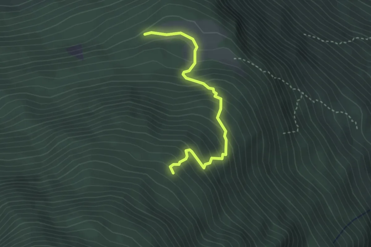
Medium · Trail
Innesto Sentiero 224 – Gallonaccio
3.1 km · ↑ 362 m · 1 h 31 min · 13 km away
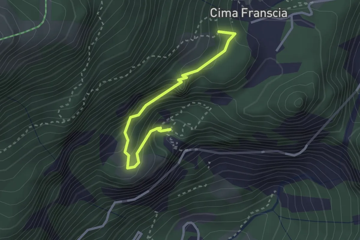
Medium · Trail
Innesto Sentiero 340 – Innesto Sentiero 339
2.5 km · ↑ 276 m · 1 h 12 min · 13 km away
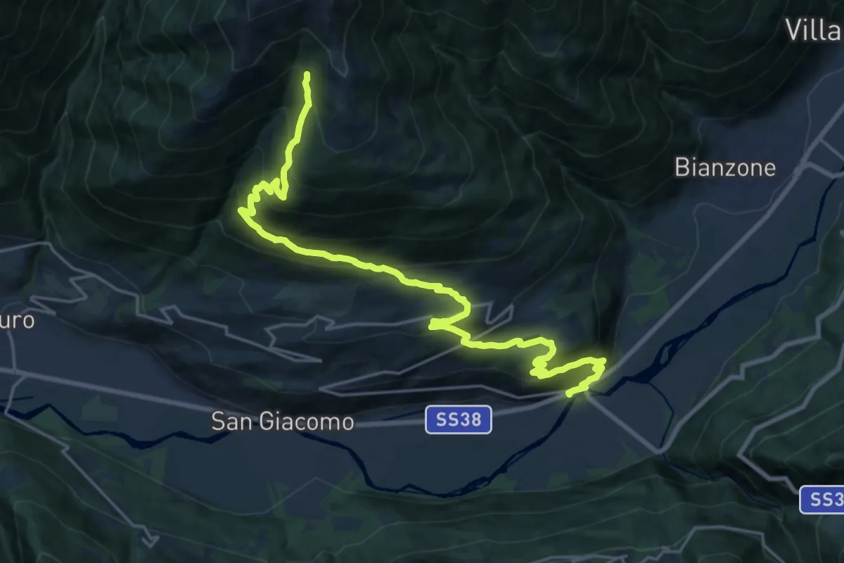
Medium · Trail
Stazione di Tesenda – Innesto Sentiero 301
11.5 km · ↑ 44 m · 3 h 42 min · 13 km away
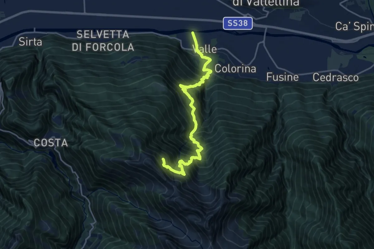
Expert · Trail
Innesto Sentiero 203 – Innesto Sentiero 226
15.2 km · ↑ 1912 m · 7 h 44 min · 13 km away
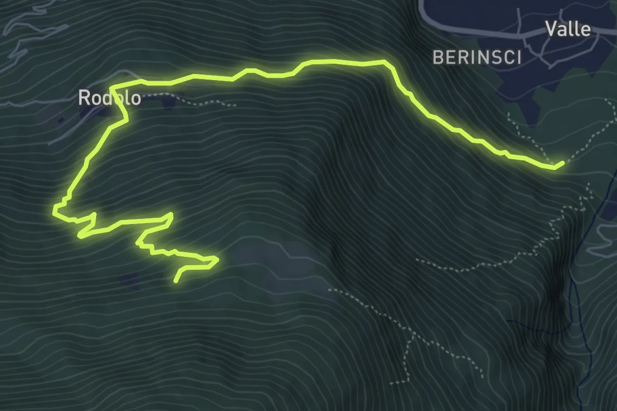
Demanding · Trail
Innesto Sentiero 225 – Innesto Sentiero 223
8.6 km · ↑ 801 m · 3 h 46 min · 13 km away
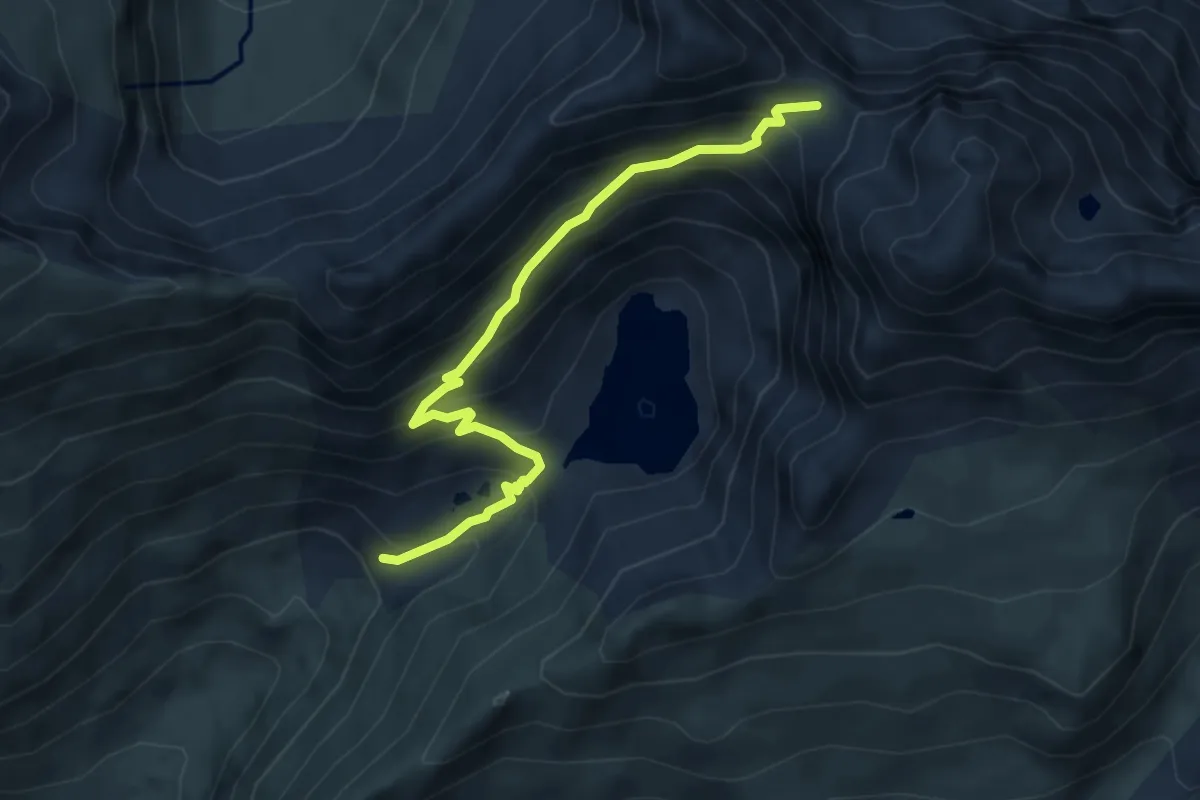
Demanding · Cabin
Rifugio Longo – Passo di Cigola
4.9 km · ↑ 442 m · 2 h 7 min · 13 km away
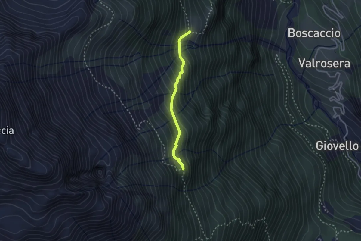
Demanding · Trail
Innesto Sentiero 320 – Innesto Sentiero 318
2.2 km · ↑ 187 m · 55 min · 14 km away
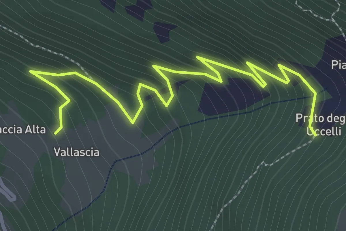
Easy · Trail
Innesto Sentiero 337 – Vallascia
3.4 km · ↑ 238 m · 1 h 19 min · 14 km away
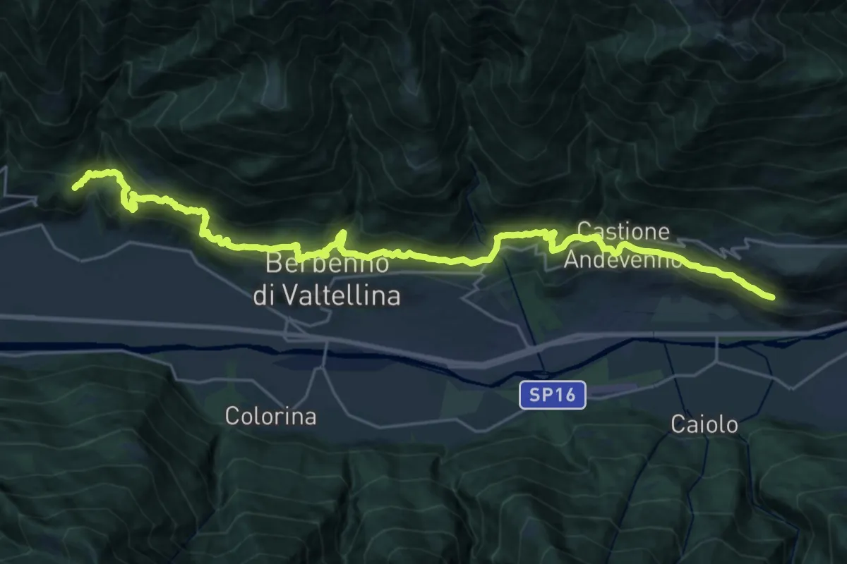
Medium · Trail
Innesto Sentiero 306 – Torrente Maroggia
14.1 km · ↑ 746 m · 5 h 10 min · 14 km away
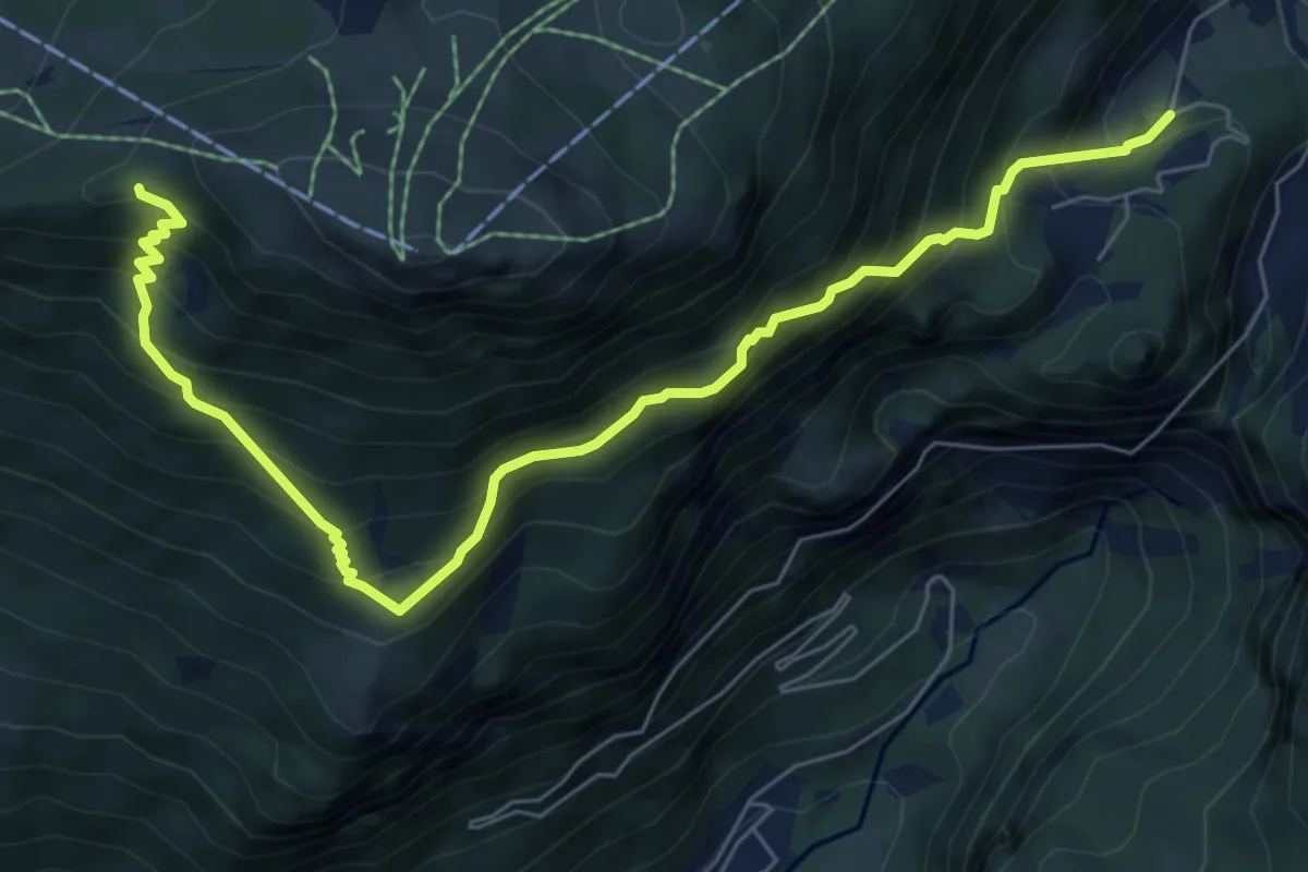
Demanding · Cabin
Cava Franscia – Rifugio Motta
7.8 km · ↑ 865 m · 3 h 44 min · 14 km away
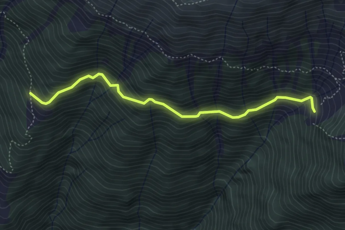
Medium · Trail
Innesto Sentiero 401 – Oligna
4.4 km · ↑ 491 m · 2 h 6 min · 14 km away
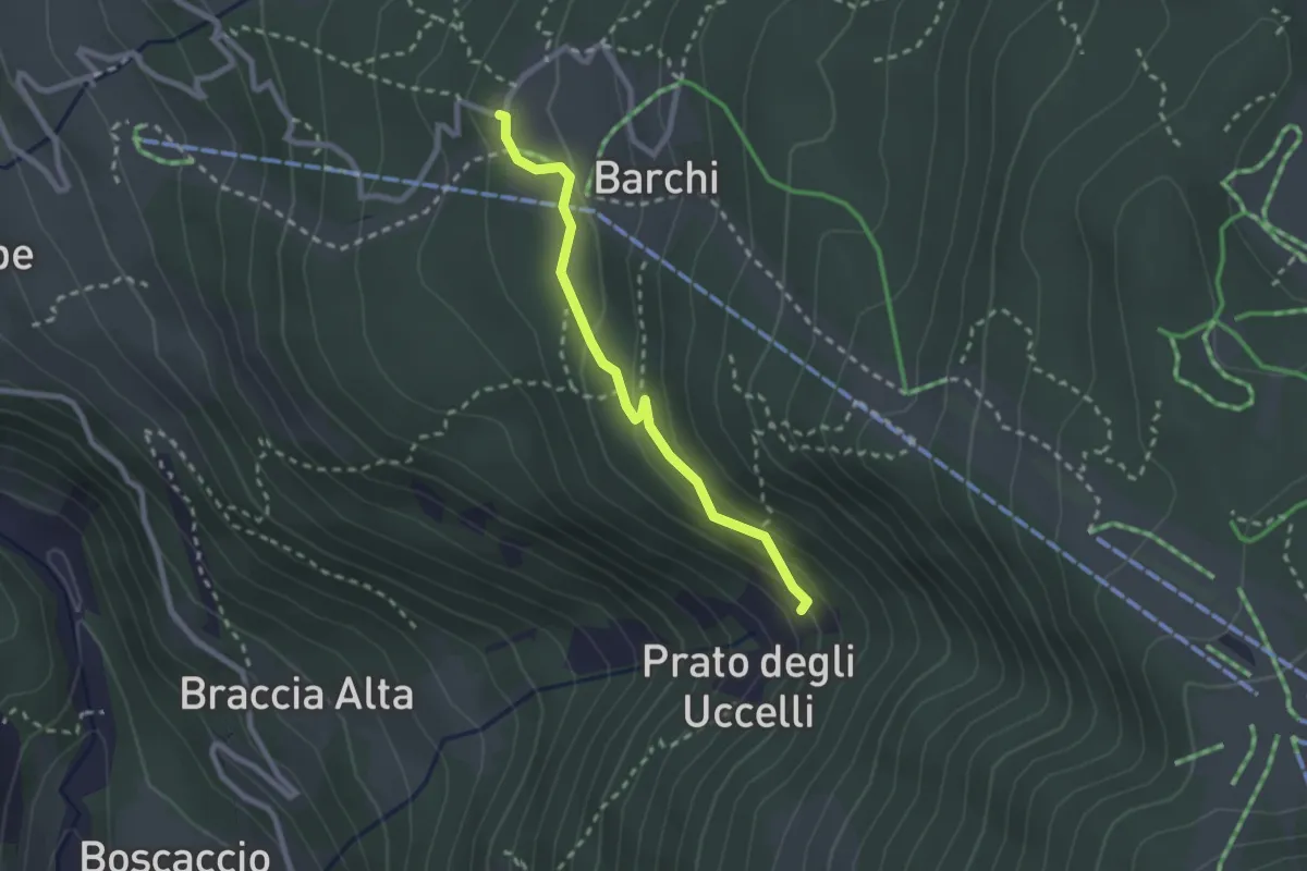
Medium · Trail
PIazzetto – Innesto 334
2.3 km · ↑ 106 m · 46 min · 14 km away
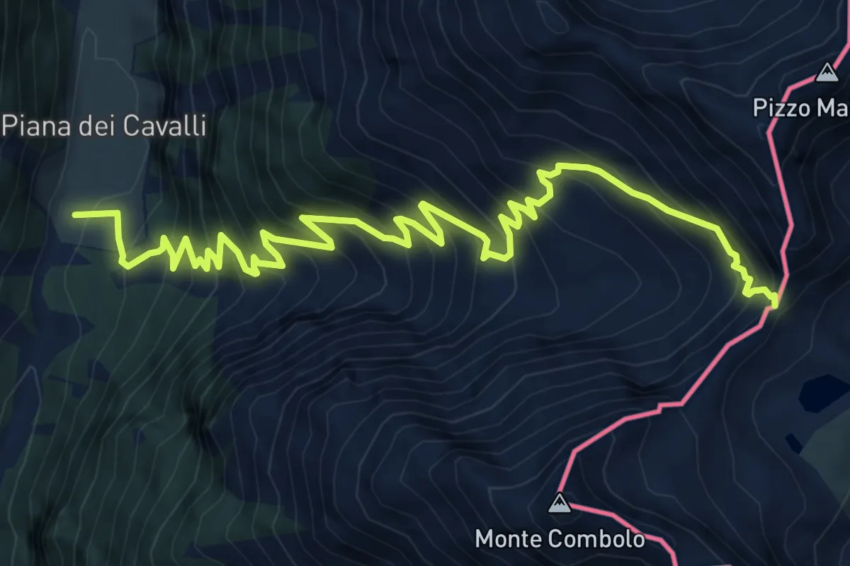
Expert · Trail
Innesto Sentiero 301 – Passo Malgina
10.2 km · ↑ 1188 m · 4 h 58 min · 14 km away
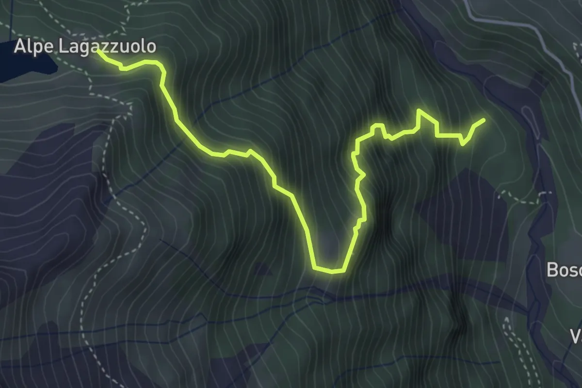
Demanding · Cabin
Innesto 304 – Lago di Lagazzuolo
4.6 km · ↑ 695 m · 2 h 36 min · 14 km away
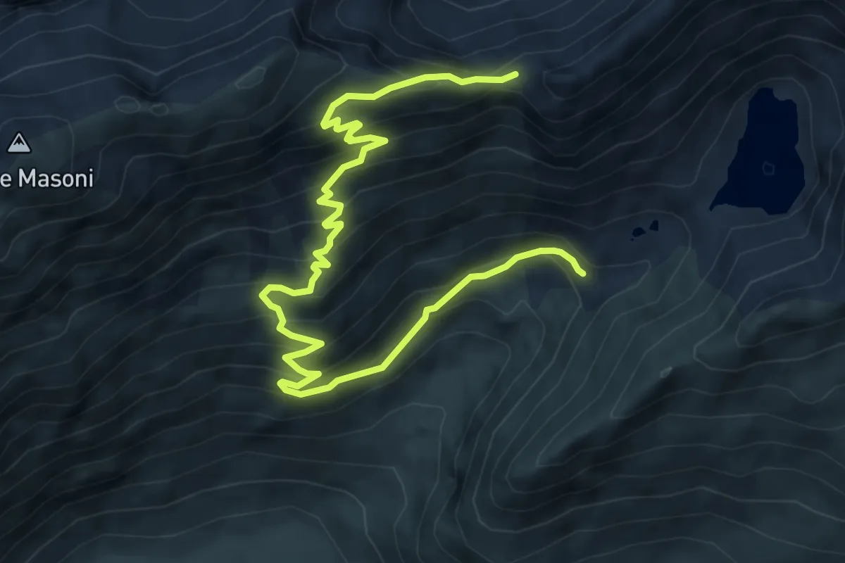
Medium · Cabin
Rifugio Longo – Passo di Venina
8.6 km · ↑ 750 m · 3 h 40 min · 14 km away
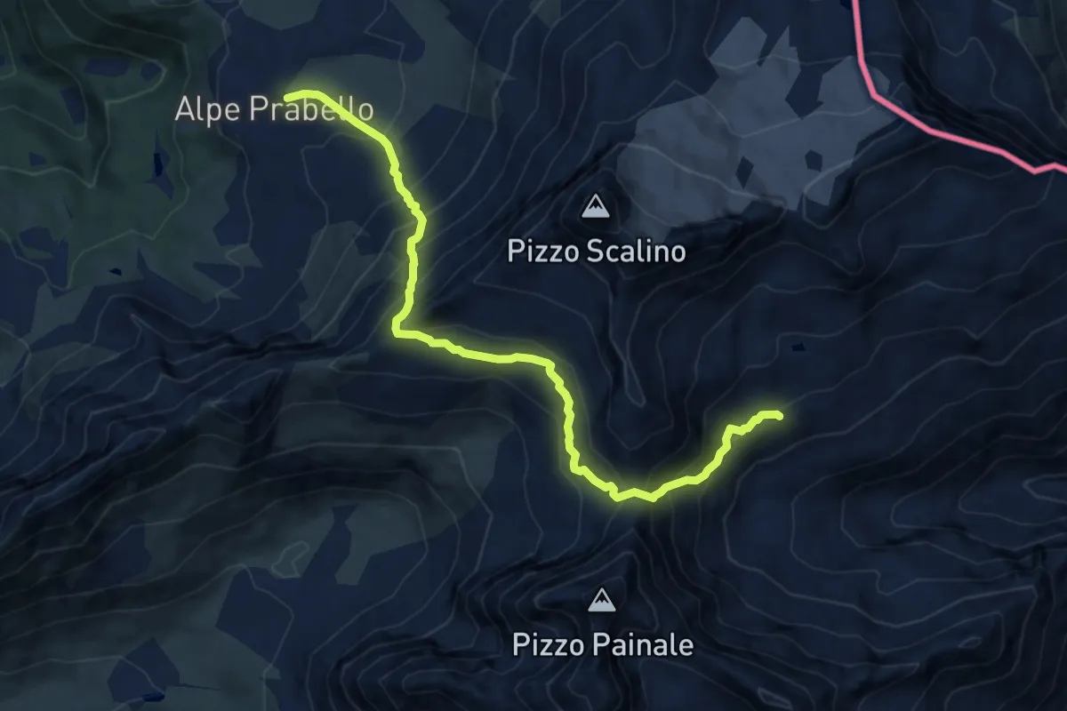
Expert · Cabin
Rifugio Cristina all'Alpe Prabello – Rifugio Cederna Maffina
11.0 km · ↑ 1080 m · 4 h 55 min · 14 km away
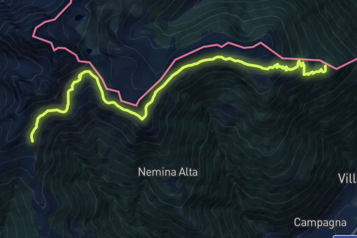
Demanding · Summit
Prato Valentino – Tirano Stazione
18.4 km · ↑ 1200 m · 6 h 56 min · 14 km away
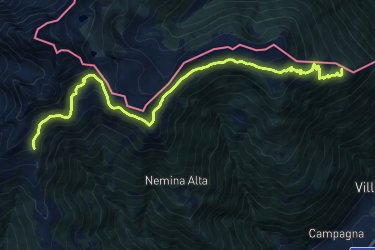
Demanding · Summit
Tirano Stazione – Passo Caldenno
18.4 km · ↑ 1200 m · 6 h 56 min · 14 km away
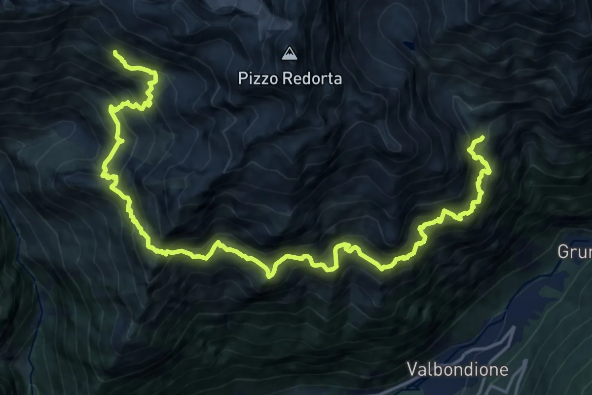
Expert · Cabin
Rifugio Baroni al Brunone – Rifugio Coca
9.2 km · ↑ 1099 m · 4 h 55 min · 14 km away
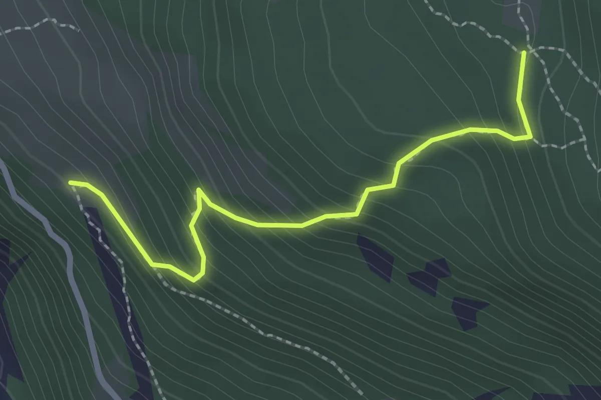
Medium · Trail
Innesto Sentiero 304 – Innesto Sentiero 336
2.3 km · ↑ 236 m · 1 h 3 min · 14 km away
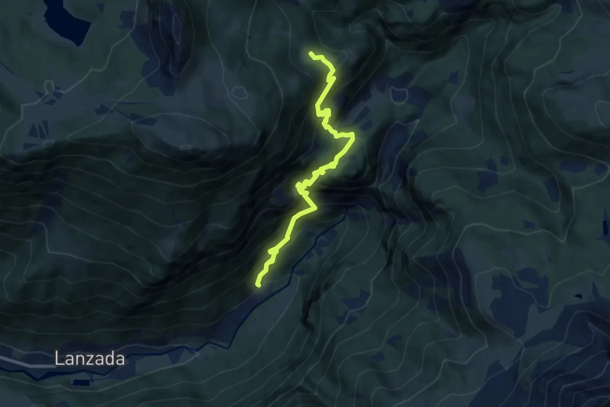
Demanding · Trail
Via Bernina (Tornadri) – Ineesto Sentiero 301 (Dosso dei Vetti)
8.2 km · ↑ 901 m · 3 h 54 min · 14 km away
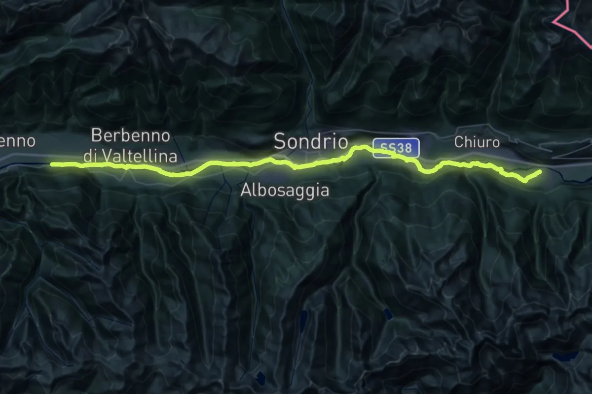
Demanding · Trail
Selvetta – Innesto Sentiero 303
29.8 km · ↑ 194 m · 7 h 49 min · 14 km away
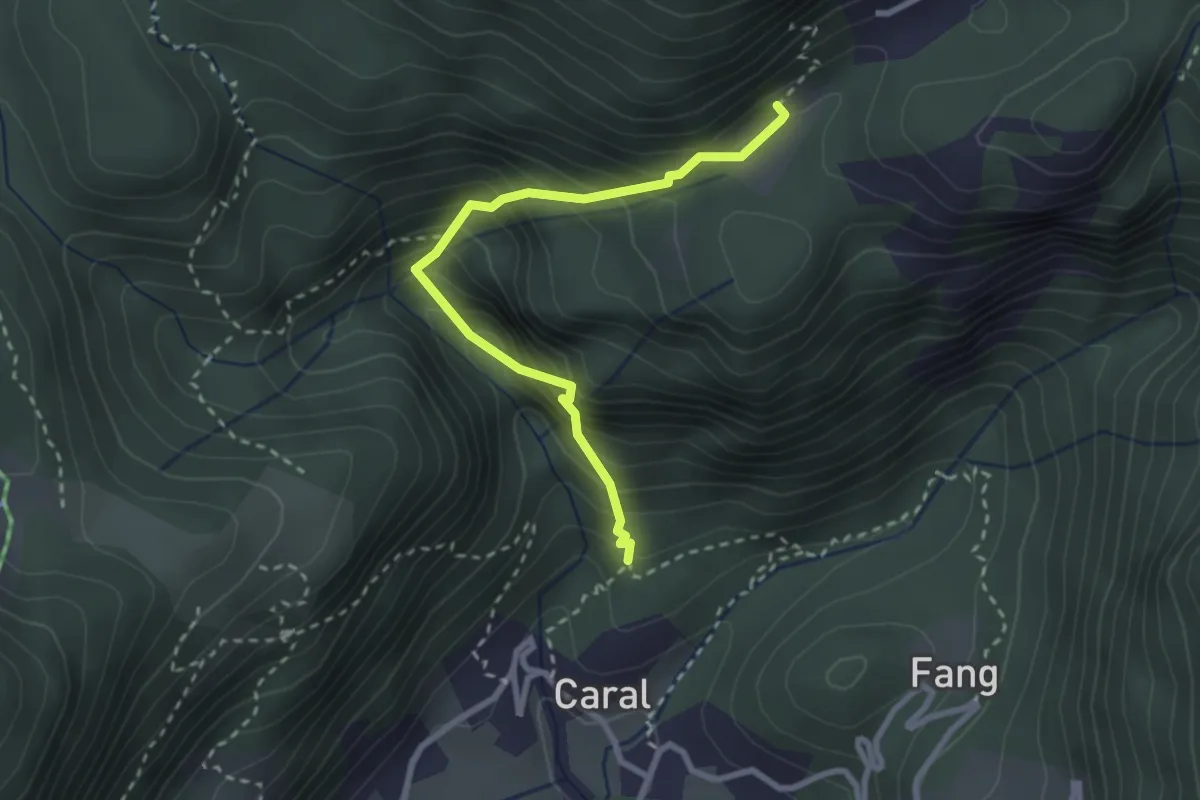
Demanding · Trail
Valuscia – Foppa
2.7 km · ↑ 390 m · 1 h 29 min · 14 km away
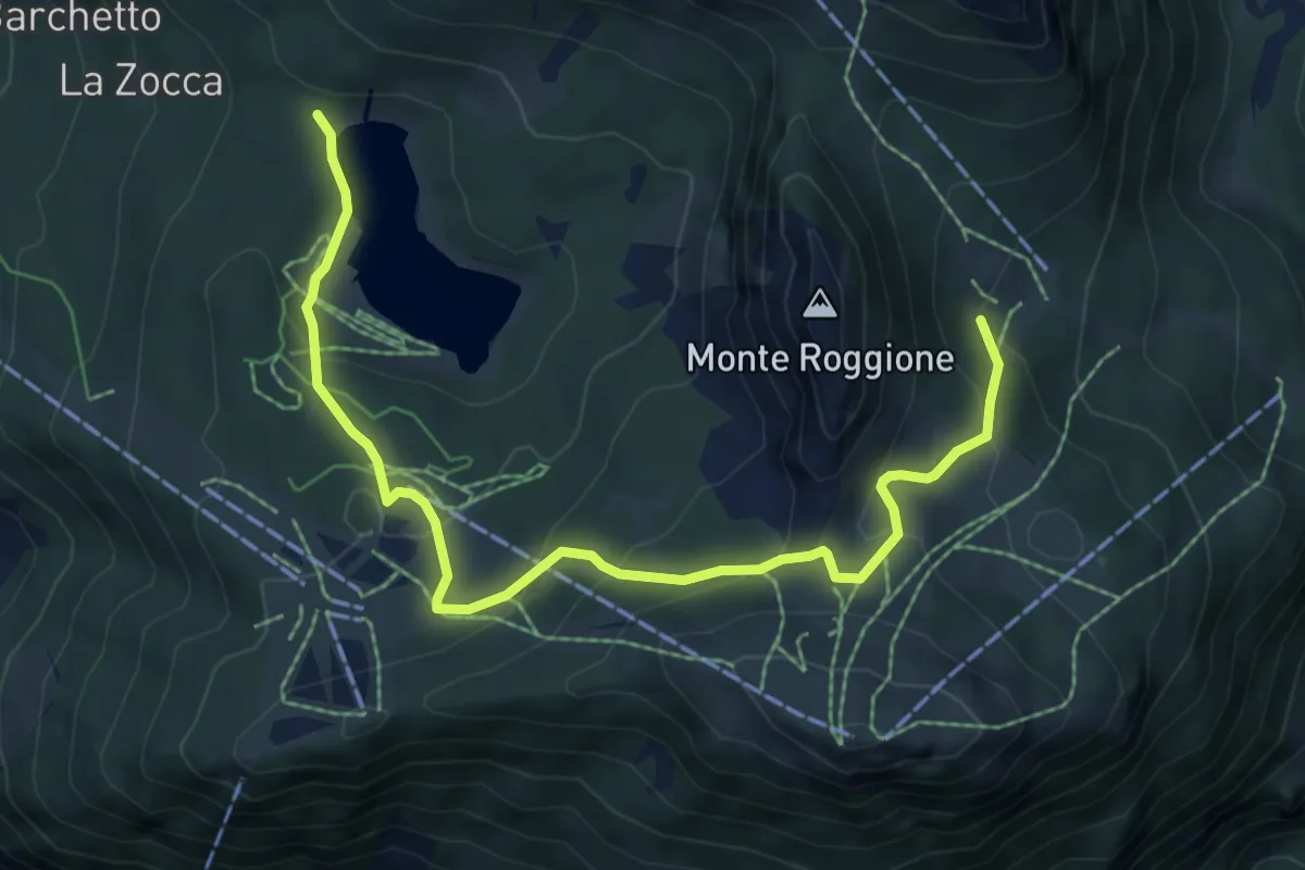
Medium · Trail
Innesto Sentiero 301 – Biforcazione Sentiero 329 - 334
7.6 km · ↑ 394 m · 2 h 39 min · 14 km away
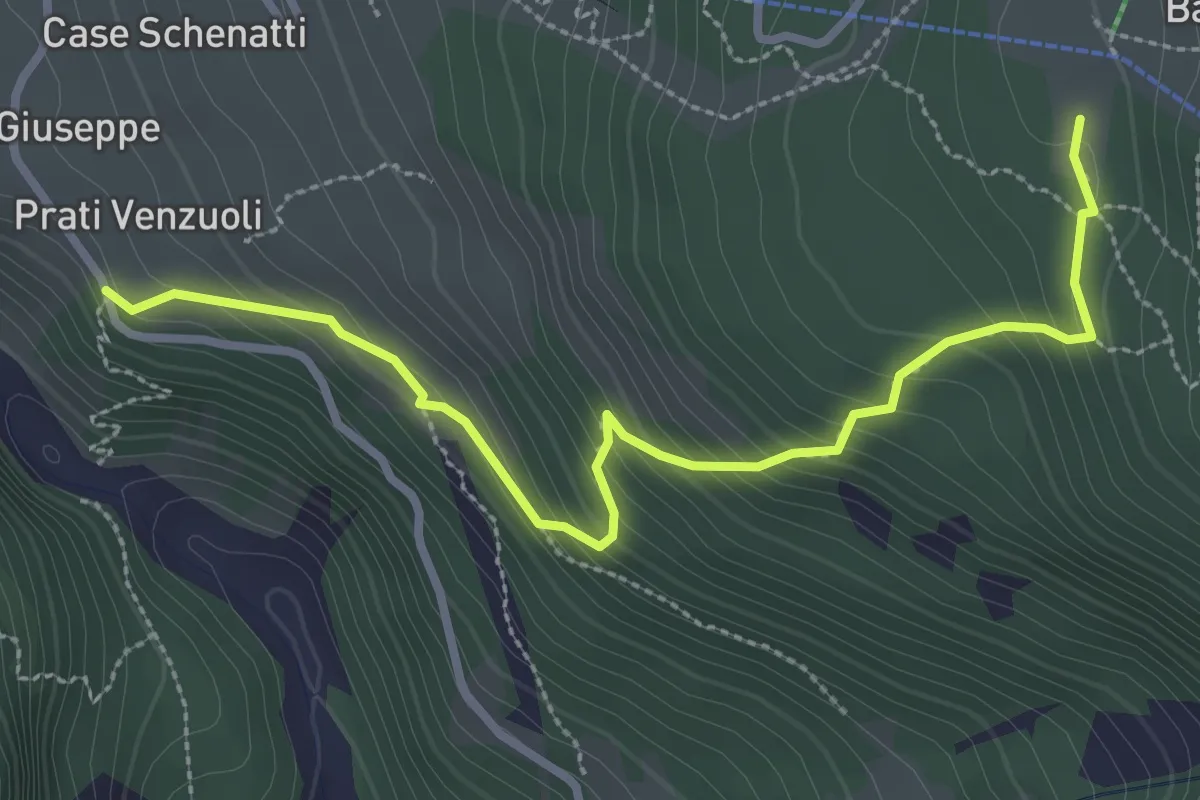
Medium · Trail
San Giuseppe – Barchi
3.3 km · ↑ 279 m · 1 h 23 min · 14 km away
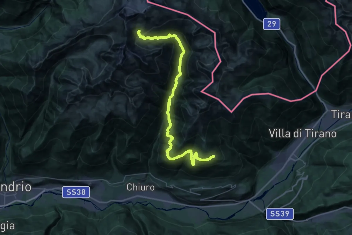
Demanding · Cabin
Rifugio Cederna Maffina – Prato Valentino
19.3 km · ↑ 1801 m · 8 h 17 min · 14 km away
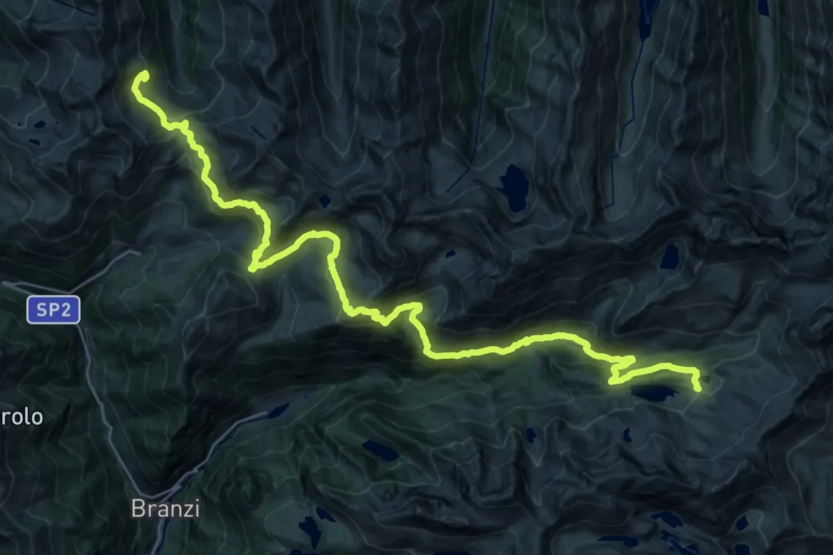
Demanding · Cabin
Rifugio Dordona – Rifugio Fratelli Calvi
17.7 km · ↑ 978 m · 6 h 31 min · 14 km away
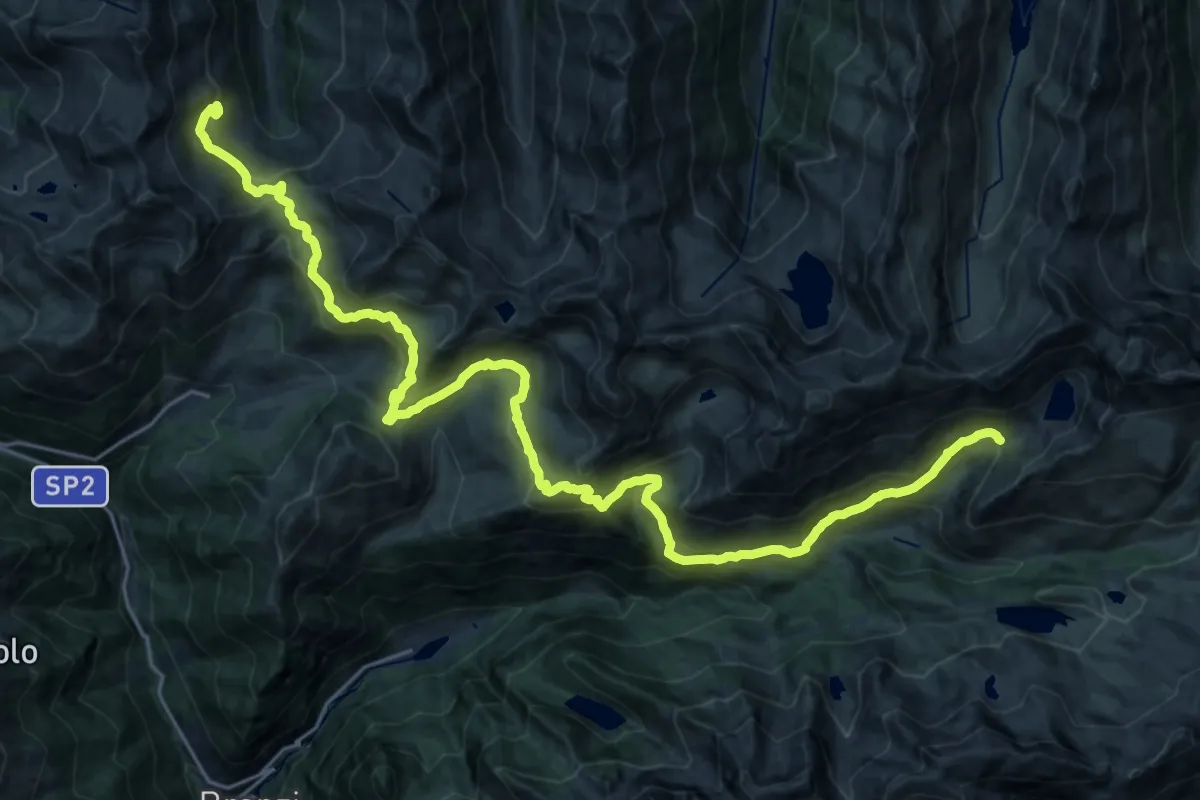
Demanding · Cabin
Sentiero dei Laghi Alto - Tappa 6
15.3 km · ↑ 912 m · 5 h 45 min · 14 km away
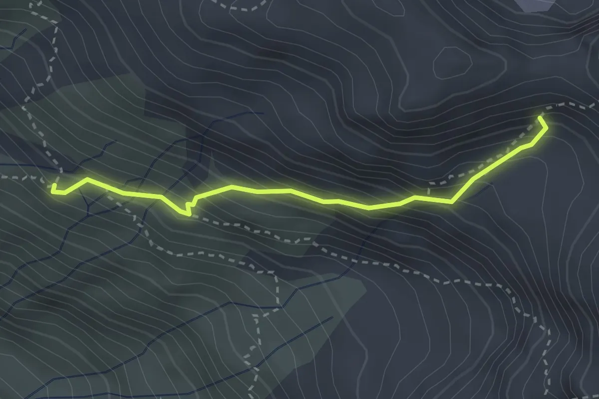
Demanding · Cabin
Rifugio Brunone – Vedretta del Redorta
2.7 km · ↑ 366 m · 1 h 25 min · 14 km away
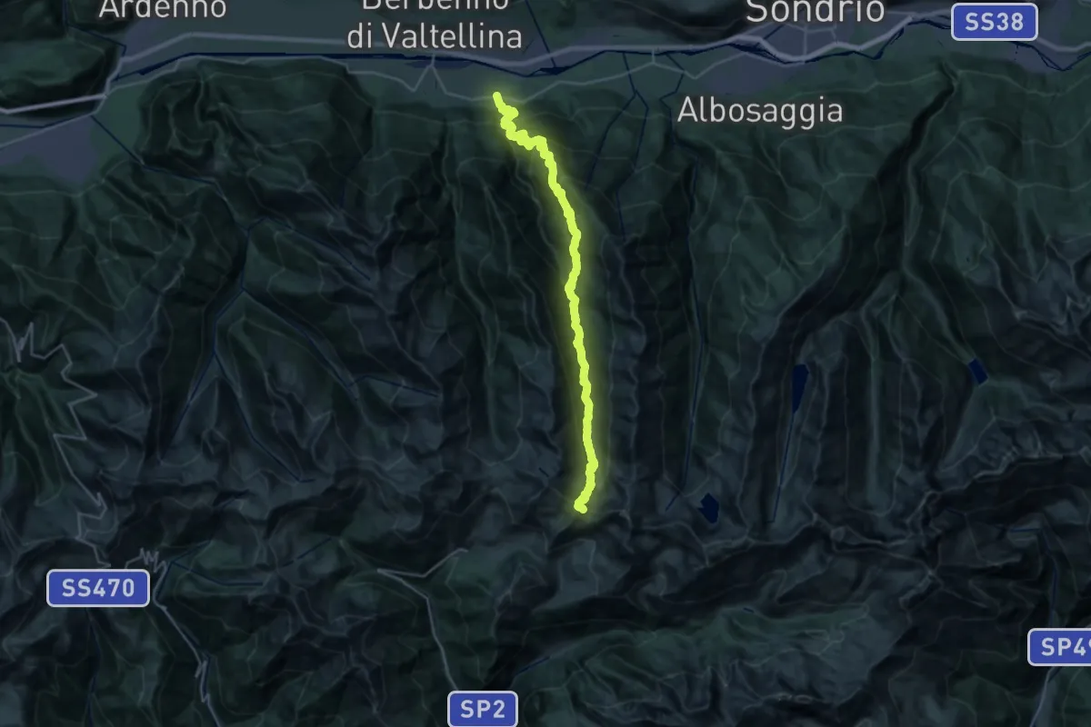
Medium · Trail
Strada Provinciale Orobica SP 16 (Cedrasco) – Passo di Valcervia
15.7 km · ↑ 225 m · 5 h 25 min · 14 km away
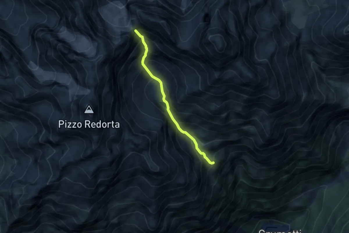
Demanding · Cabin
Rifugio Coca – Passo di Coca
5.3 km · ↑ 816 m · 3 h 1 min · 14 km away
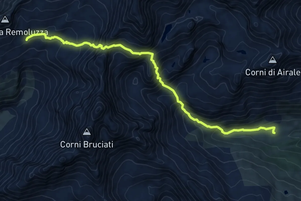
Expert · Cabin
Sentiero Roma - Tappa 5
11.2 km · ↑ 1112 m · 5 h 3 min · 15 km away
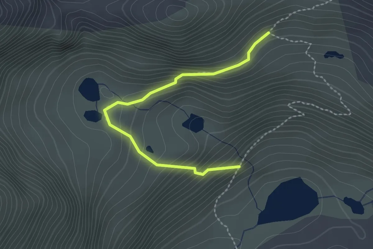
Demanding · Trail
Giro dei laghetti di Caldirolo
2.3 km · ↑ 172 m · 54 min · 15 km away
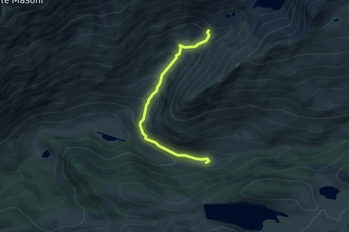
Demanding · Cabin
Rifugio Longo – Rifugio Baita Armentarga (incrocio 208)
4.5 km · ↑ 310 m · 1 h 44 min · 15 km away
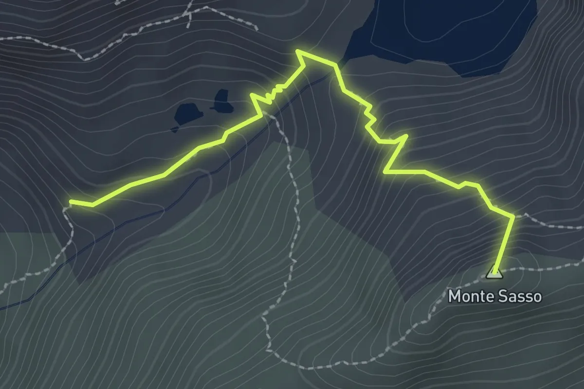
Demanding · Summit
Rifugio Longo – Passo di Valsecca
2.6 km · ↑ 302 m · 1 h 15 min · 15 km away