Trails near Spilamberto
29 hikes starting within 15 km, nearest first.
Nearest first
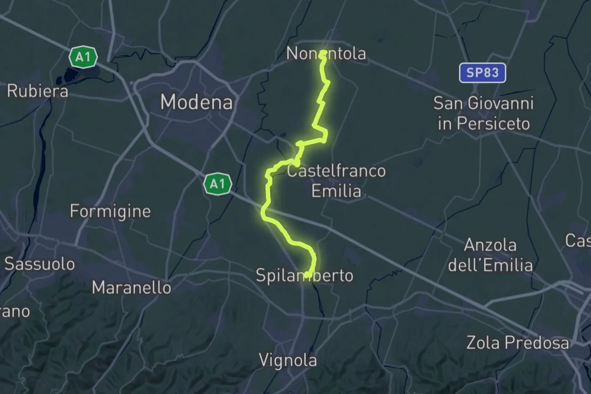
Demanding · Trail
Via Romea Nonantolana e Via della Sambuca: Tappa 1
25.5 km · ↑ 22 m · 6 h 27 min · under 1 km away
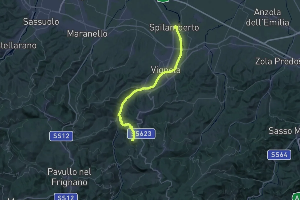
Demanding · Summit
Via Romea Nonantolana e Via della Sambuca: Tappa 2
49.4 km · ↑ 645 m · 13 h 4 min · under 1 km away
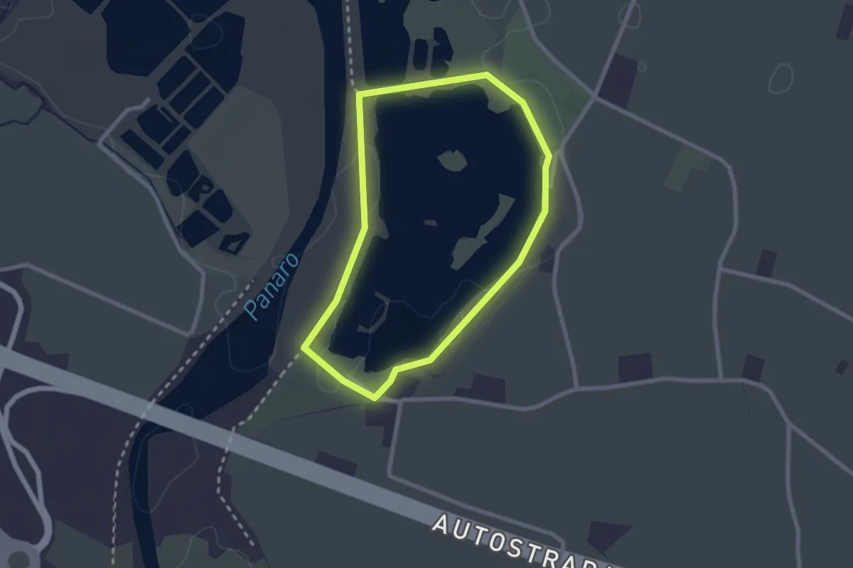
Easy · Trail
Percorsi ciclopedonali parco fluviale SIC ZPS dei laghi di Sant'Anna
2.2 km · ↑ 9 m · 34 min · 5 km away
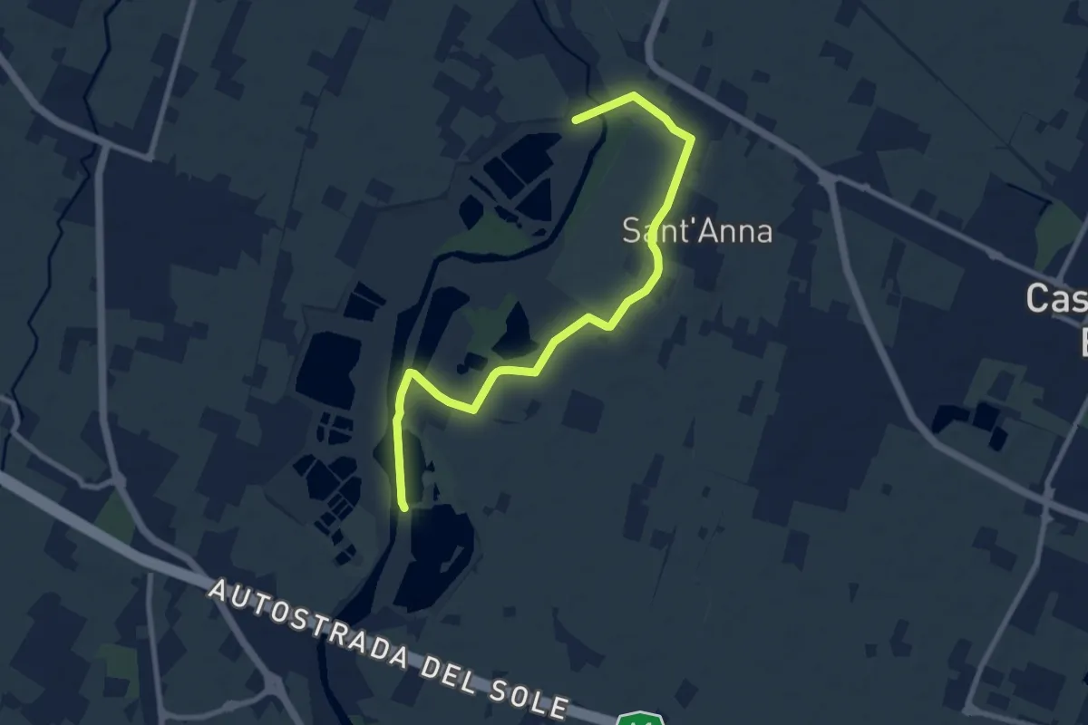
Medium · Trail
Percorso fluviale della Cassa di Espansione Fiume Panaro
9.6 km · ↑ 4 m · 2 h 17 min · 6 km away
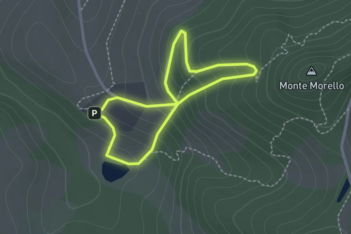
Easy · Trail
Corte d'Aibo e Le Pendici di Monte Morello
1.7 km · ↑ 133 m · 42 min · 8 km away
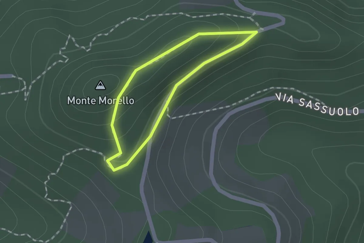
Easy · Summit
I Boschi di Monte Morello
1.0 km · ↑ 34 m · 20 min · 8 km away
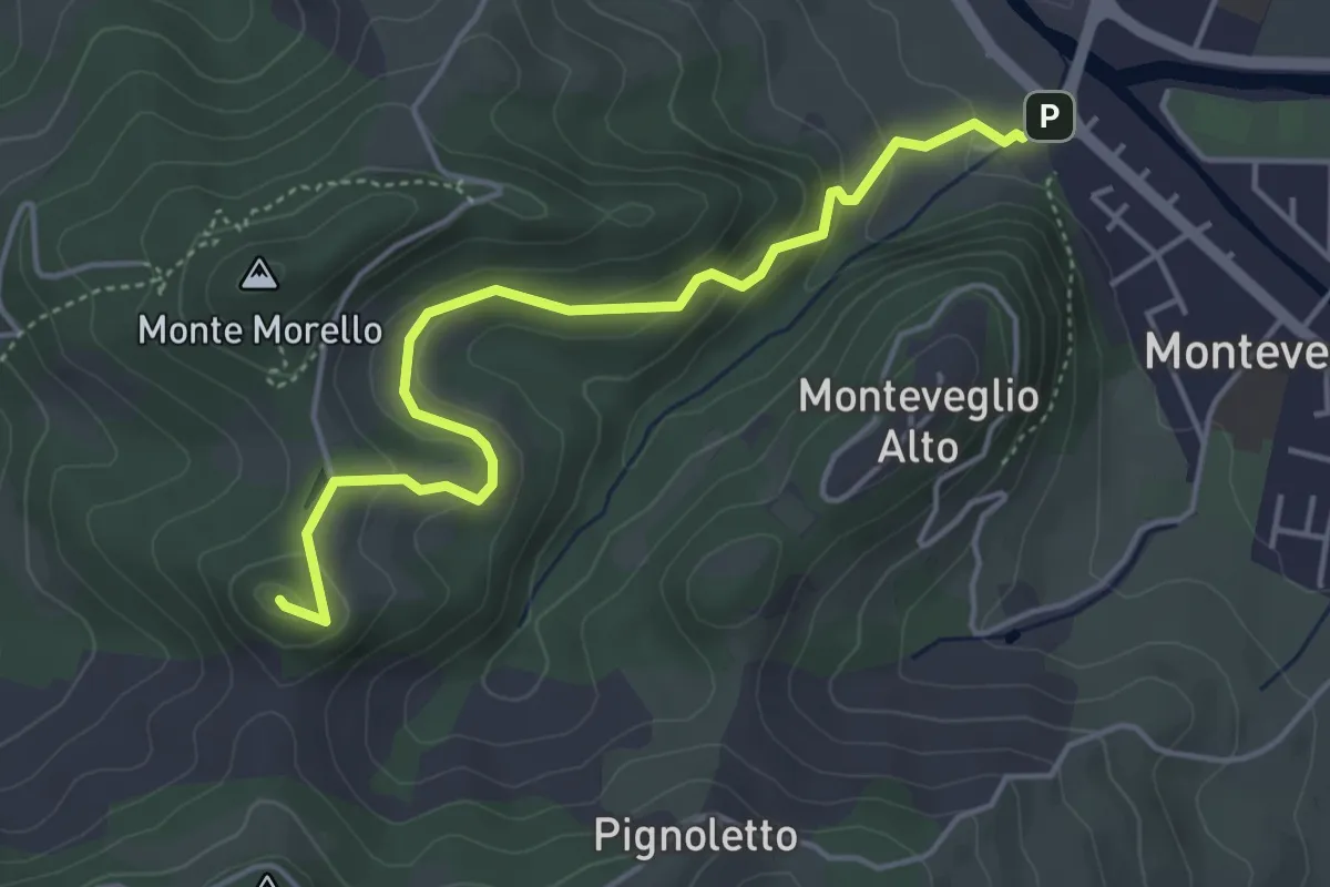
Easy · Summit
Salita al Monte Gennaro
4.8 km · ↑ 215 m · 1 h 36 min · 9 km away
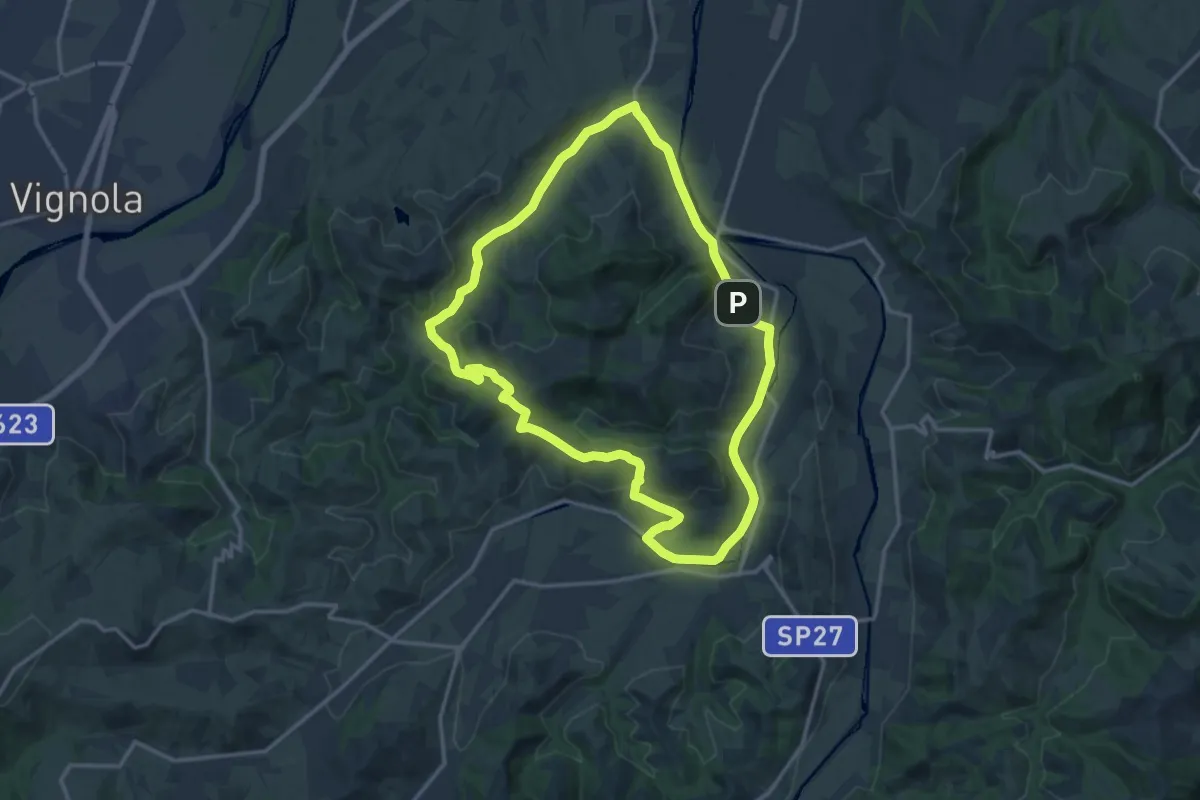
Medium · Trail
Calanchi del Rio Paraviere e Valle del Rio Marzator
14.9 km · ↑ 227 m · 4 h 13 min · 9 km away
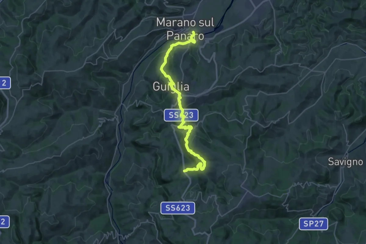
Medium · Trail
Marano sul Panaro – Roccamalatina
13.3 km · ↑ 629 m · 4 h 30 min · 10 km away
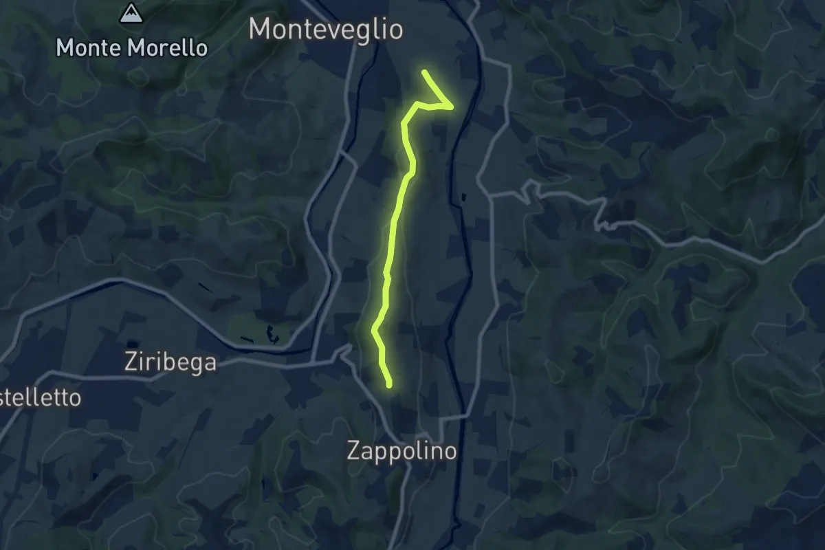
Easy · Trail
Percorso CAI 207A
7.0 km · ↑ 166 m · 2 h · 10 km away
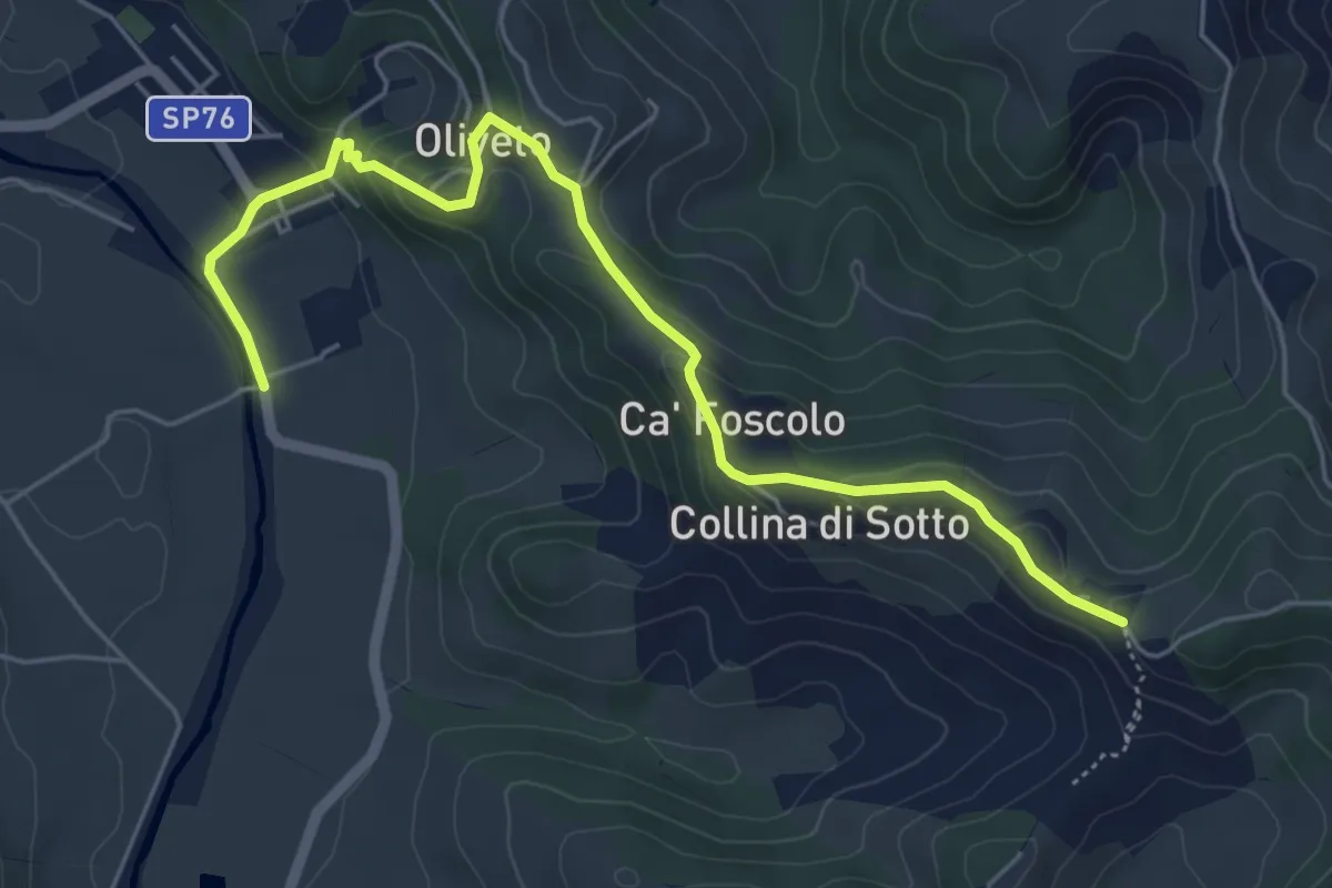
Easy · Trail
Percorso CAI 205B
6.1 km · ↑ 196 m · 1 h 52 min · 10 km away
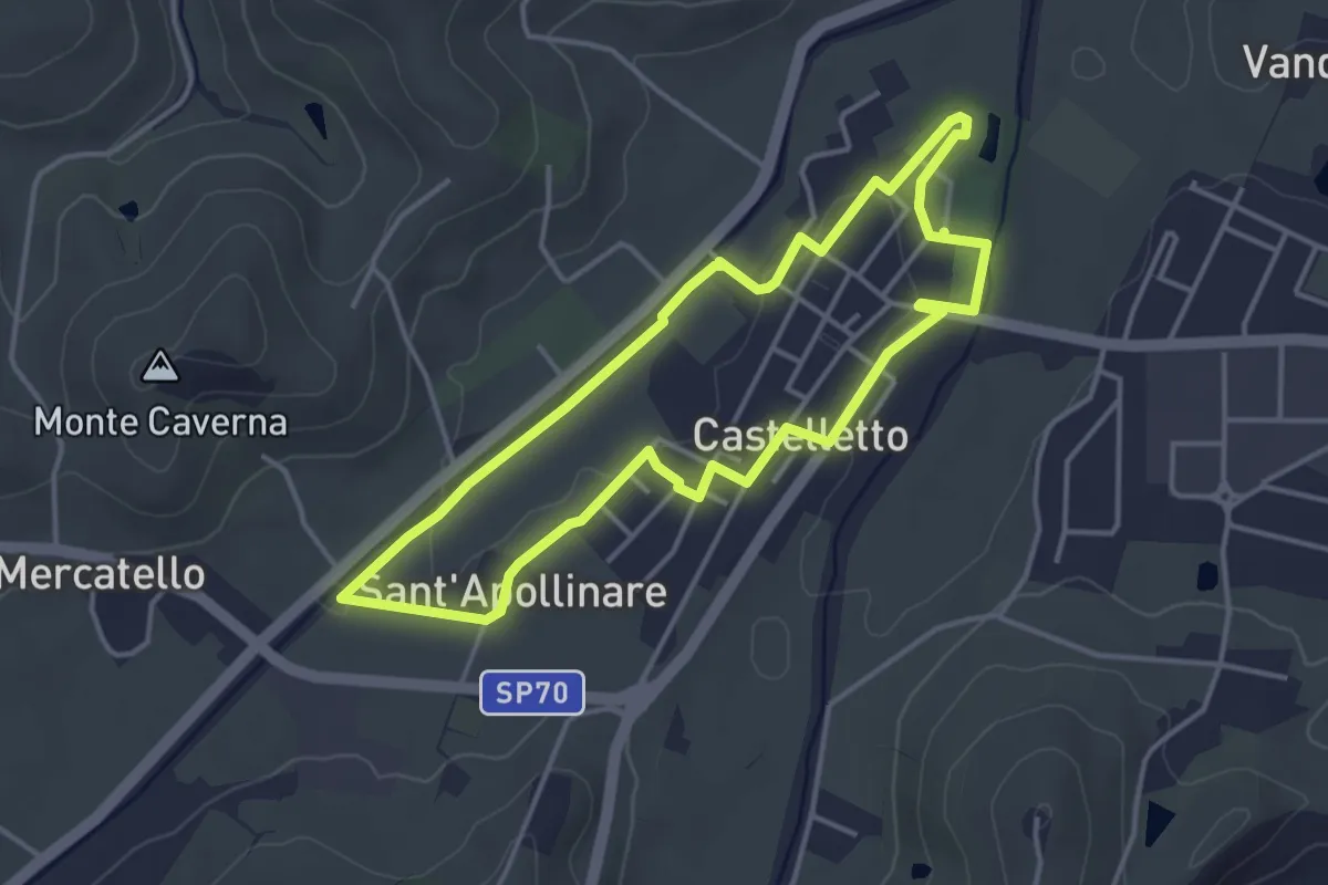
Easy · Trail
S1
3.9 km · ↑ 29 m · 1 h 2 min · 11 km away
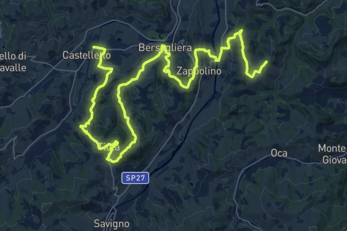
Demanding · Trail
Percorso CAI 207
19.8 km · ↑ 715 m · 6 h 26 min · 11 km away
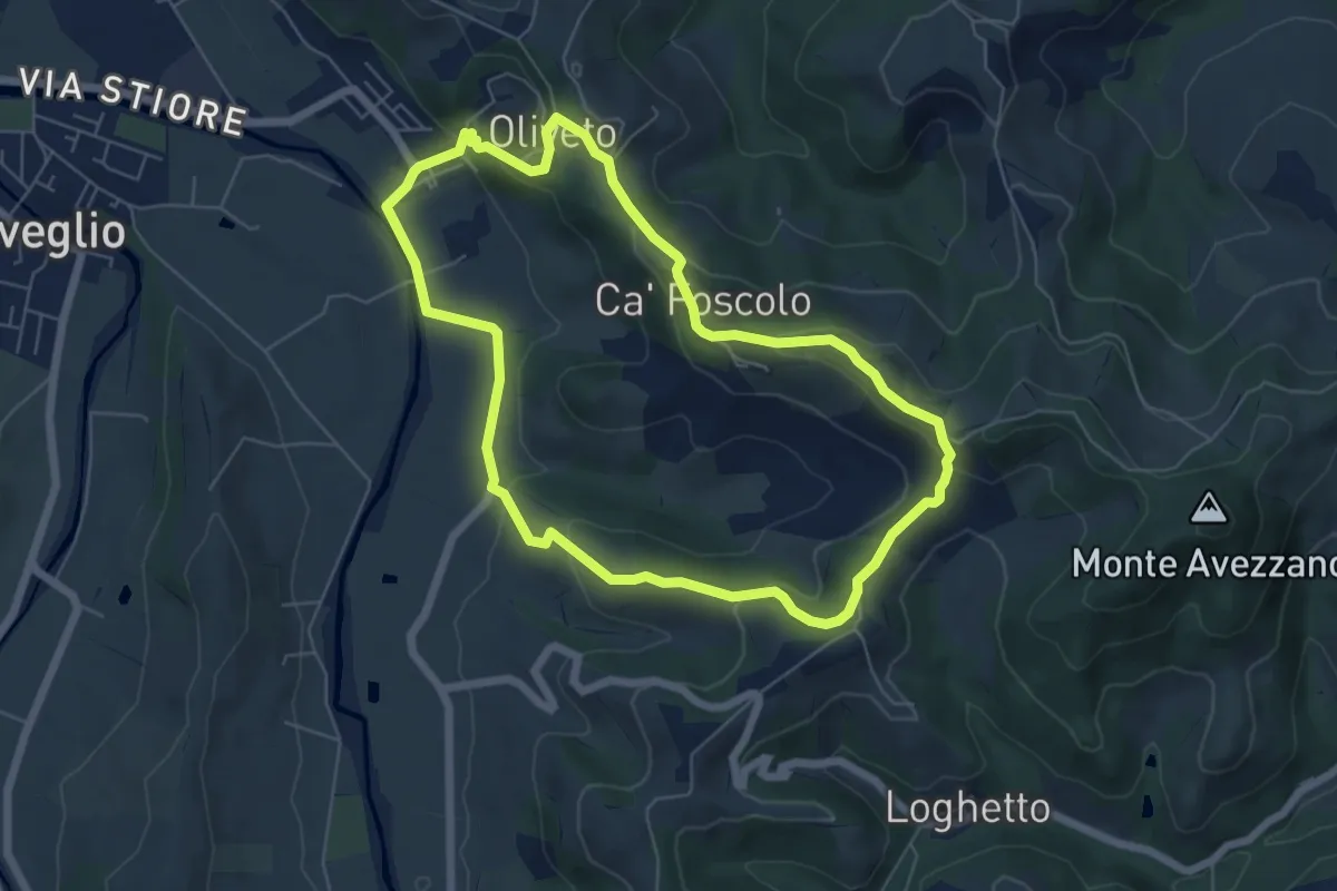
Medium · Trail
La via del vino
6.2 km · ↑ 202 m · 1 h 59 min · 11 km away
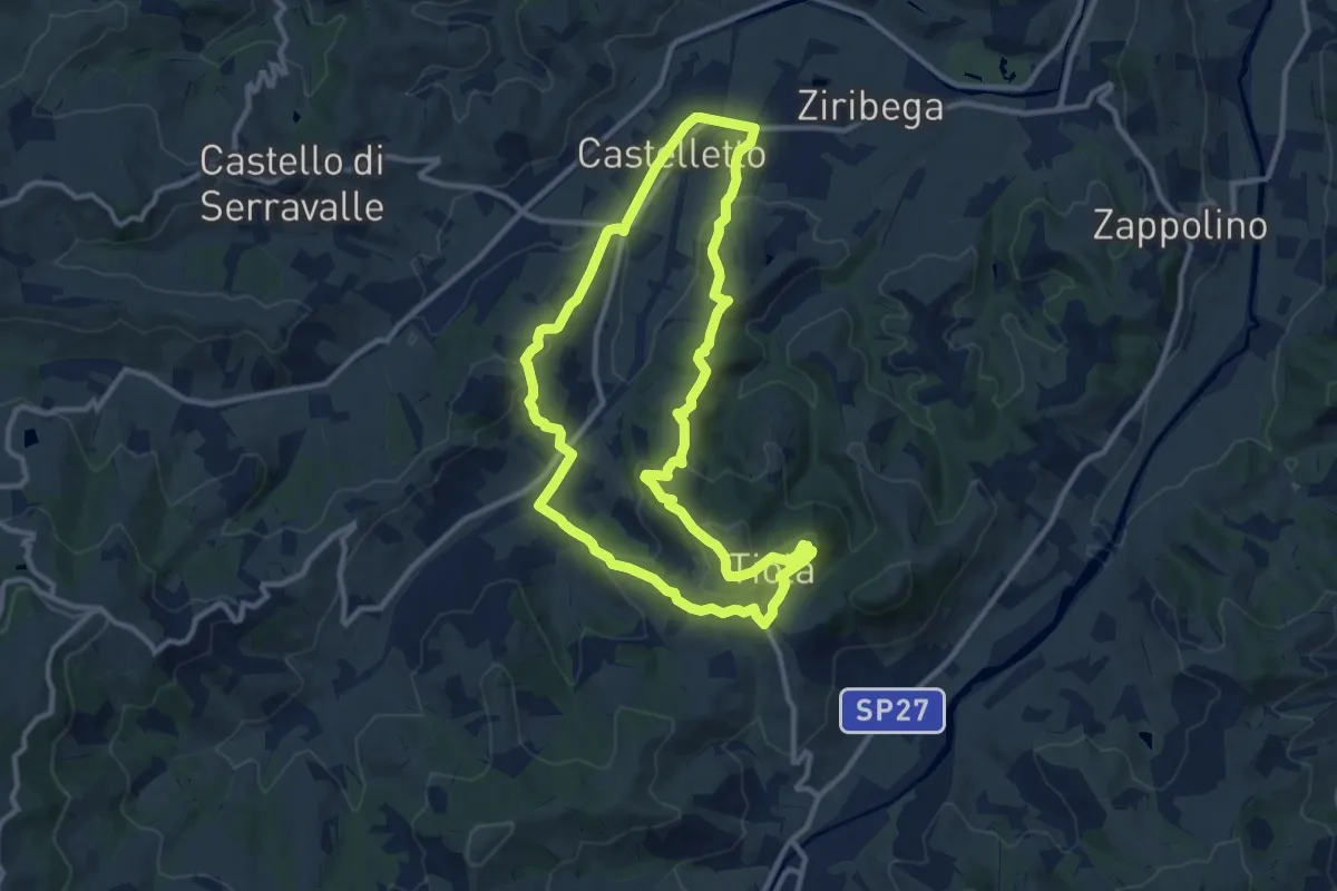
Medium · Trail
S2
11.2 km · ↑ 427 m · 3 h 44 min · 11 km away
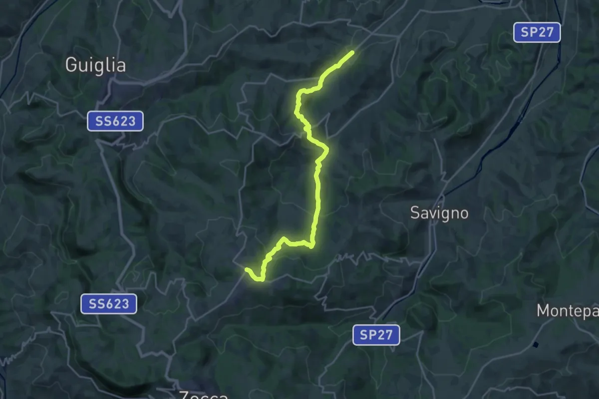
Demanding · Trail
Mulino di Fanano – Monteombraro
19.8 km · ↑ 777 m · 6 h 21 min · 11 km away
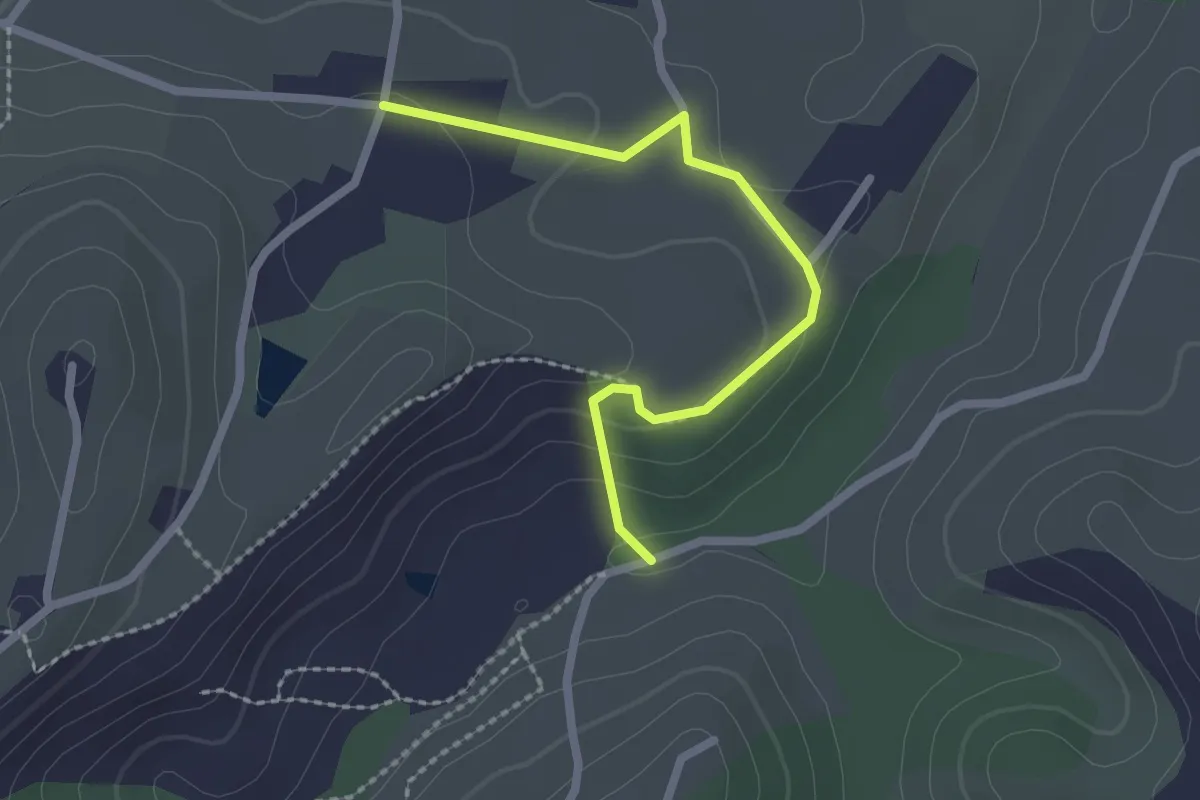
Easy · Trail
Percorso CAI 207B
2.3 km · ↑ 75 m · 43 min · 12 km away
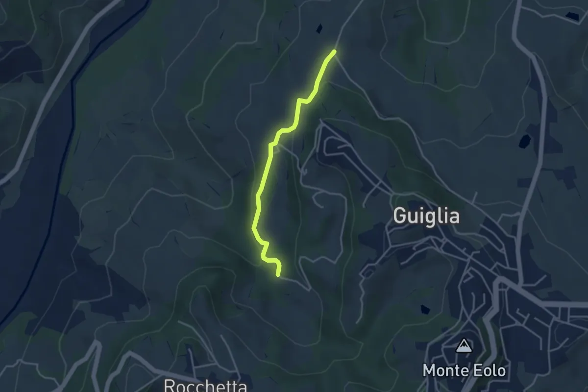
Medium · Trail
Percorso 406 – Percorso 408A
3.1 km · ↑ 88 m · 56 min · 12 km away
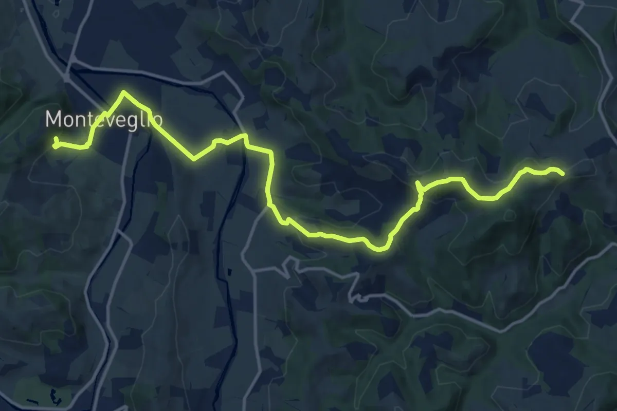
Medium · Trail
Monteveglio – Ca' Bianca
15.4 km · ↑ 446 m · 4 h 37 min · 13 km away
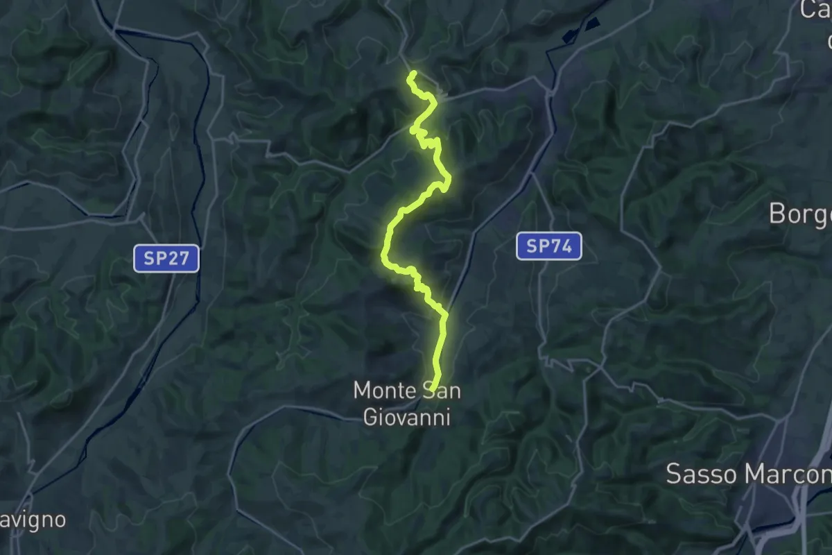
Demanding · Trail
Percorso CAI 211
18.6 km · ↑ 822 m · 6 h 11 min · 13 km away
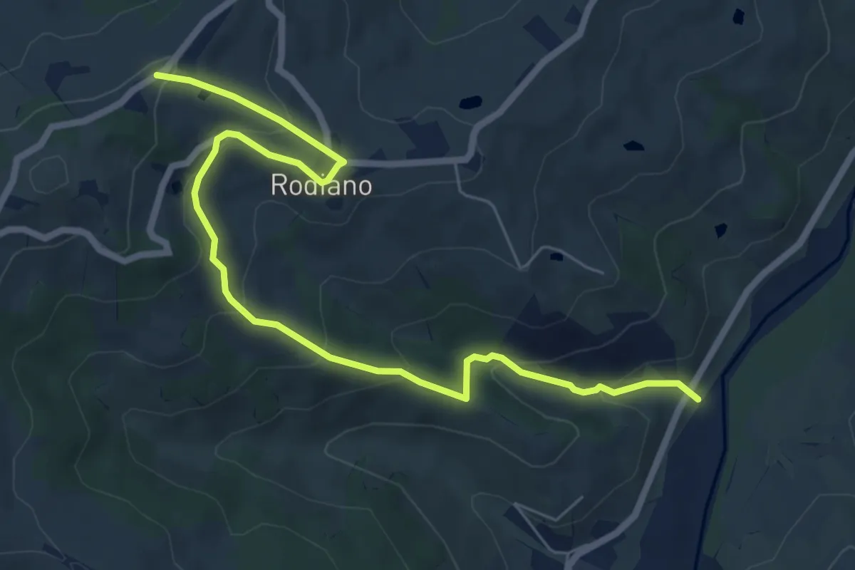
Medium · Trail
SP4 – Percorso 412
7.7 km · ↑ 400 m · 2 h 41 min · 14 km away
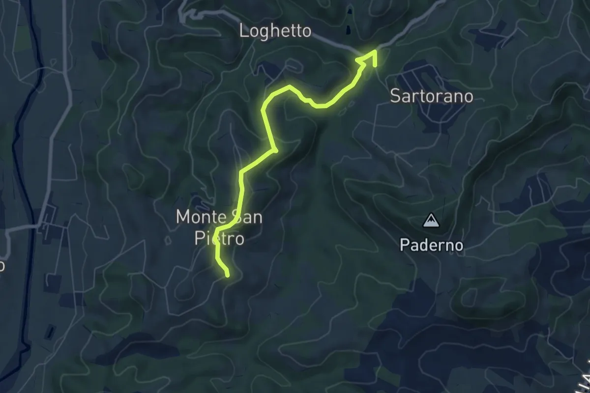
Easy · Trail
I cassetti della memoria
3.2 km · ↑ 163 m · 1 h 6 min · 14 km away
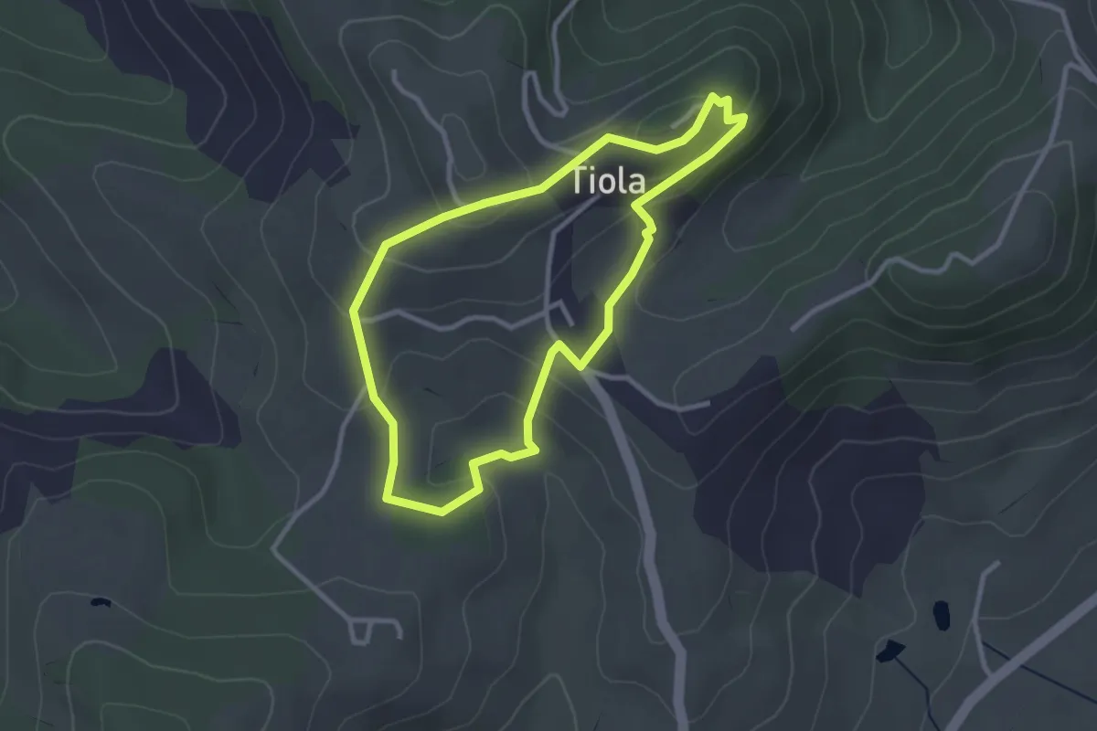
Easy · Trail
S4
2.8 km · ↑ 120 m · 58 min · 14 km away
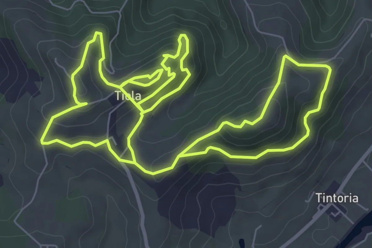
Medium · Trail
S5
15.0 km · ↑ 708 m · 5 h 5 min · 14 km away
Medium · Trail
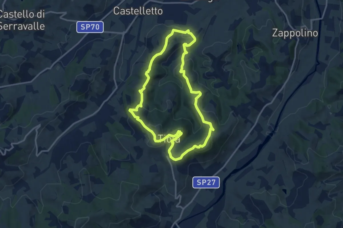
S3
9.7 km · ↑ 407 m · 3 h 19 min · 14 km away
Medium · Trail
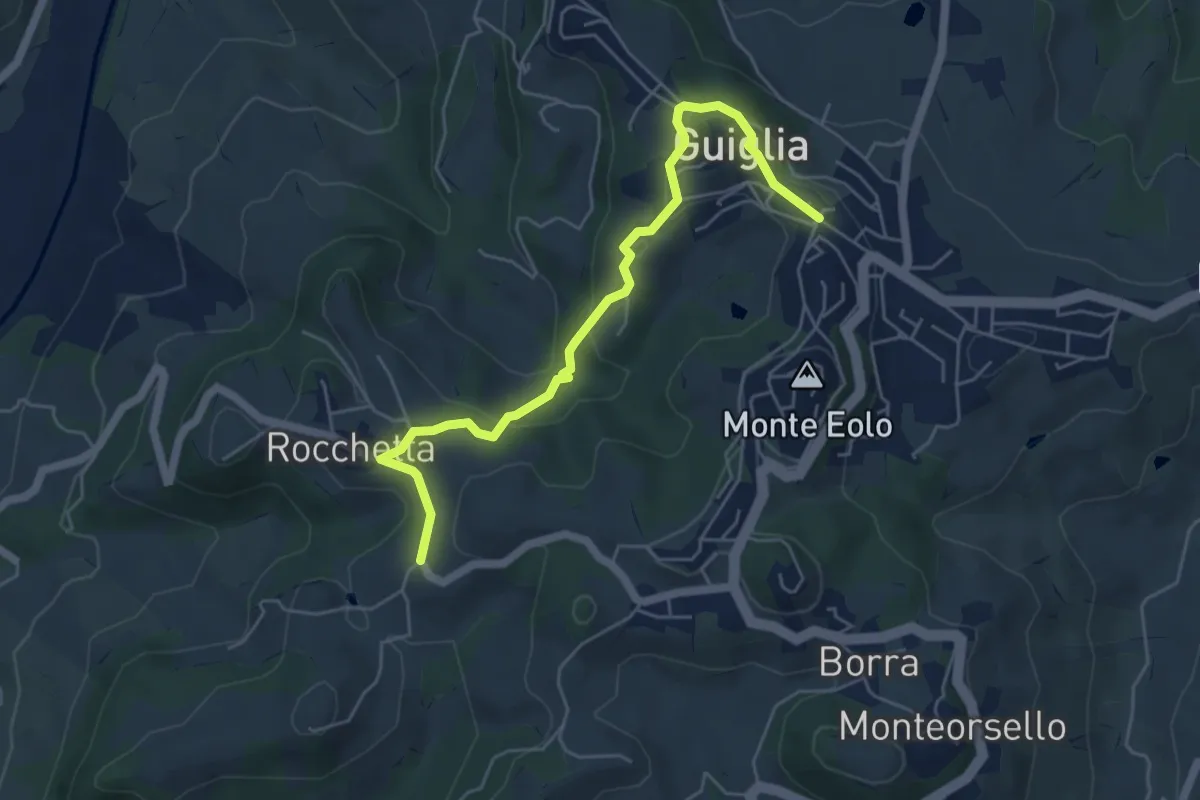
Percorso 410 – Guiglia
5.8 km · ↑ 208 m · 1 h 49 min · 14 km away
Demanding · Summit
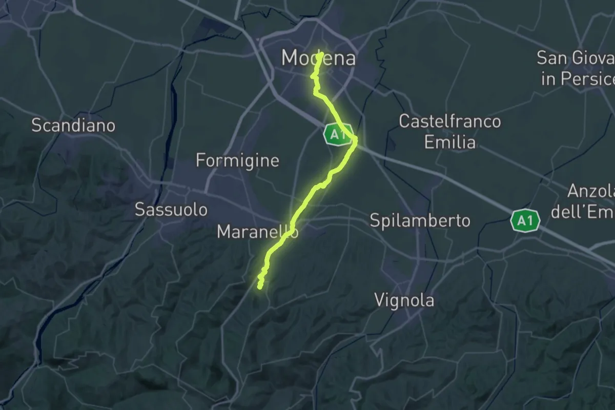
Via Vandelli - Tappa 1
49.1 km · ↑ 257 m · 12 h 9 min · 15 km away
Demanding · Summit
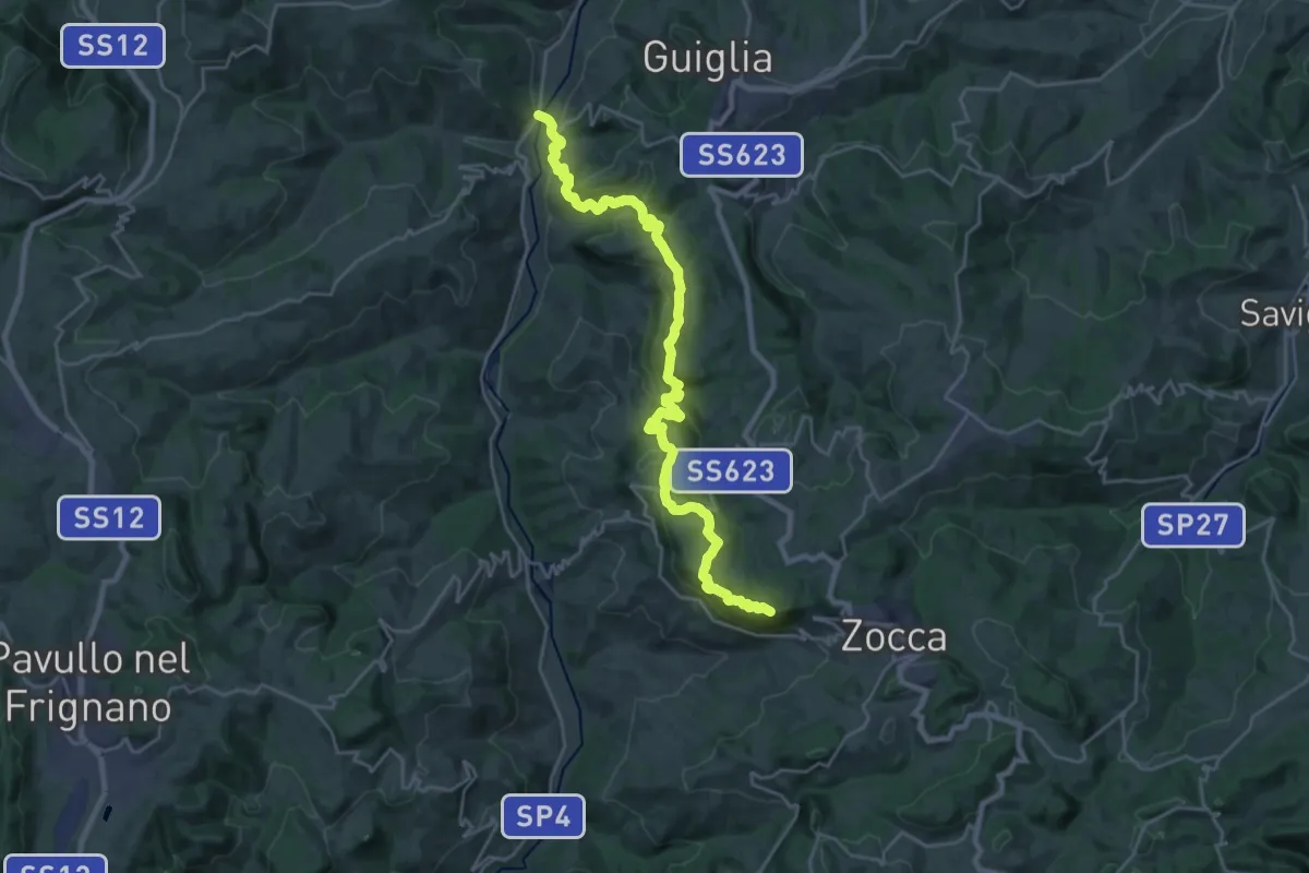
Casona di Marano – Zocca
26.9 km · ↑ 1280 m · 9 h 7 min · 15 km away
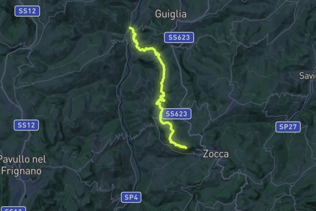
Demanding · Summit
CAI 400/2
26.9 km · ↑ 1280 m · 9 h 7 min · 15 km away