Trails near Spilimbergo
19 hikes starting within 15 km, nearest first.
Nearest first
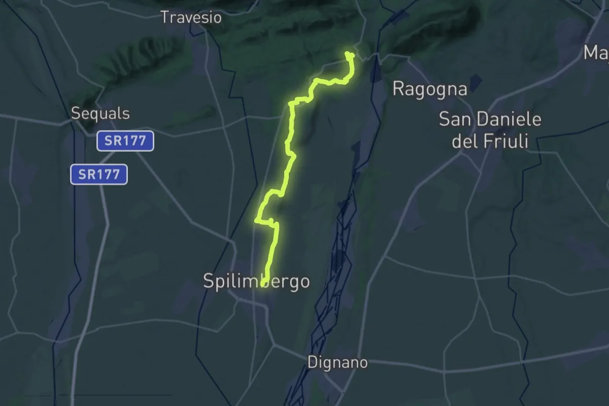
Demanding · Summit
Cammino di San Cristoforo - Tappa 5
26.0 km · ↑ 331 m · 6 h 51 min · under 1 km away
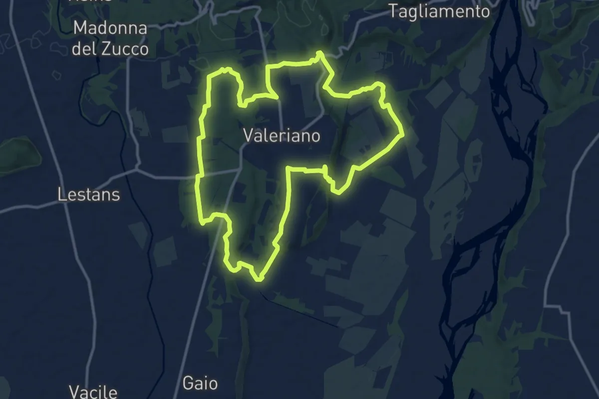
Medium · Trail
Troi dal Denis
11.6 km · ↑ 133 m · 3 h 11 min · 7 km away
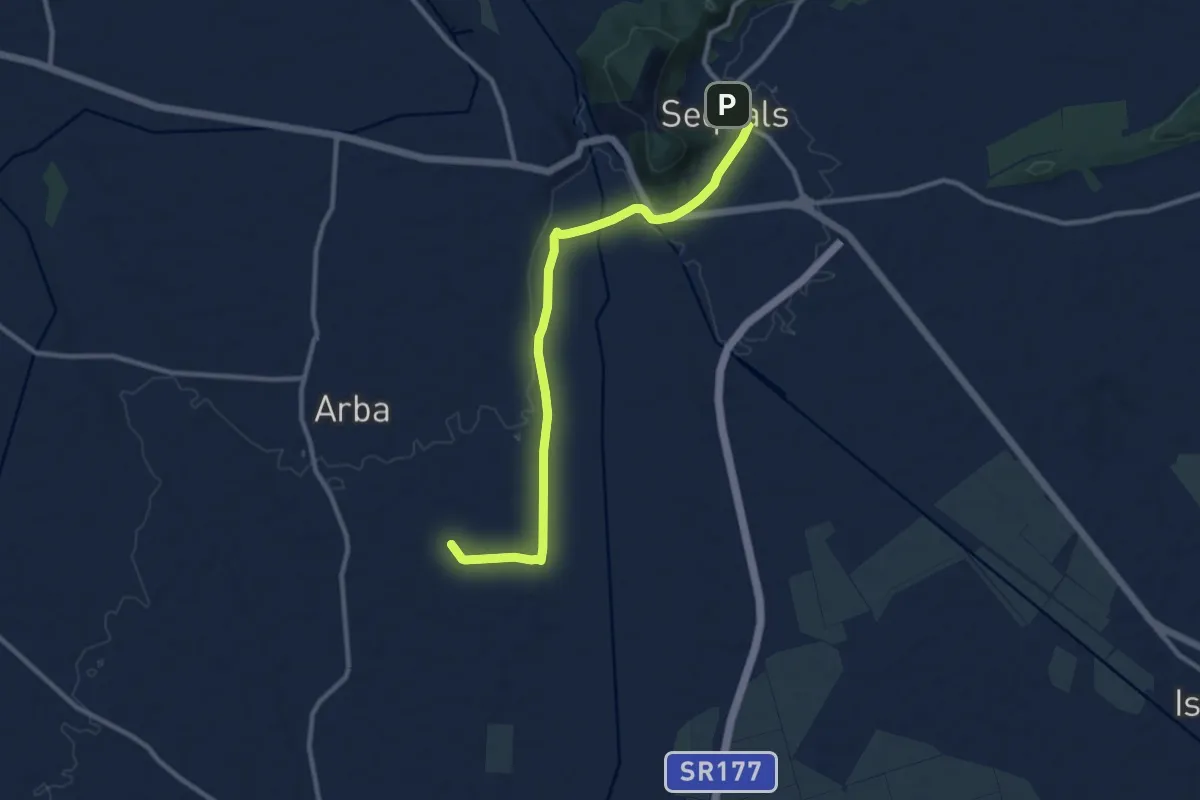
Medium · Trail
Il Cammino di Sant'Antonio - Tappa 03G2
10.9 km · ↑ 60 m · 2 h 43 min · 8 km away
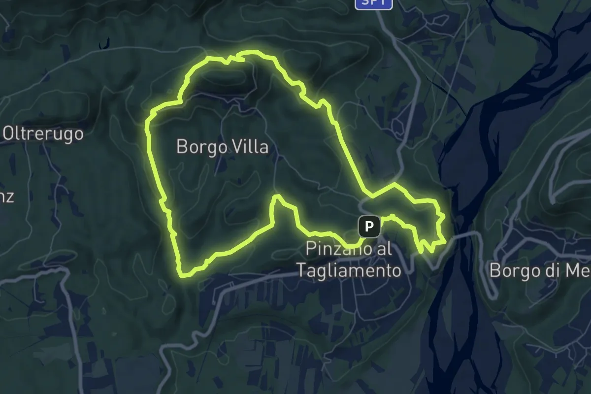
Medium · Summit
Anello di Pinzano
8.4 km · ↑ 335 m · 2 h 49 min · 9 km away
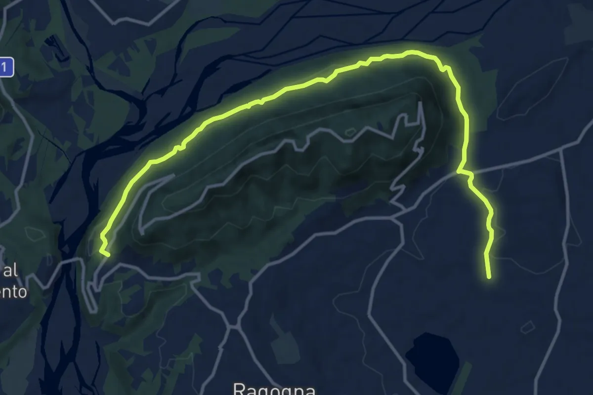
Medium · Trail
Romea Strata in Italia - Tappa RSIT06var
13.3 km · ↑ 335 m · 3 h 52 min · 9 km away
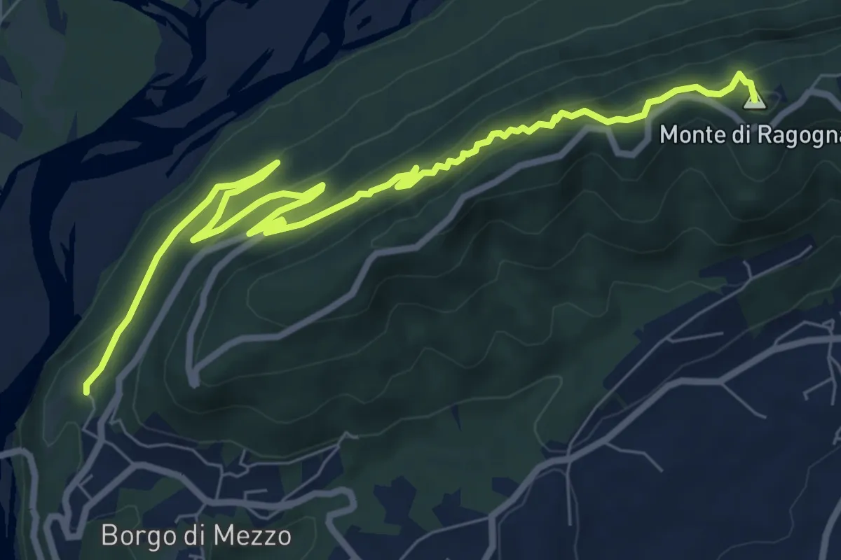
Medium · Summit
Las Cenglis
9.6 km · ↑ 660 m · 3 h 41 min · 10 km away
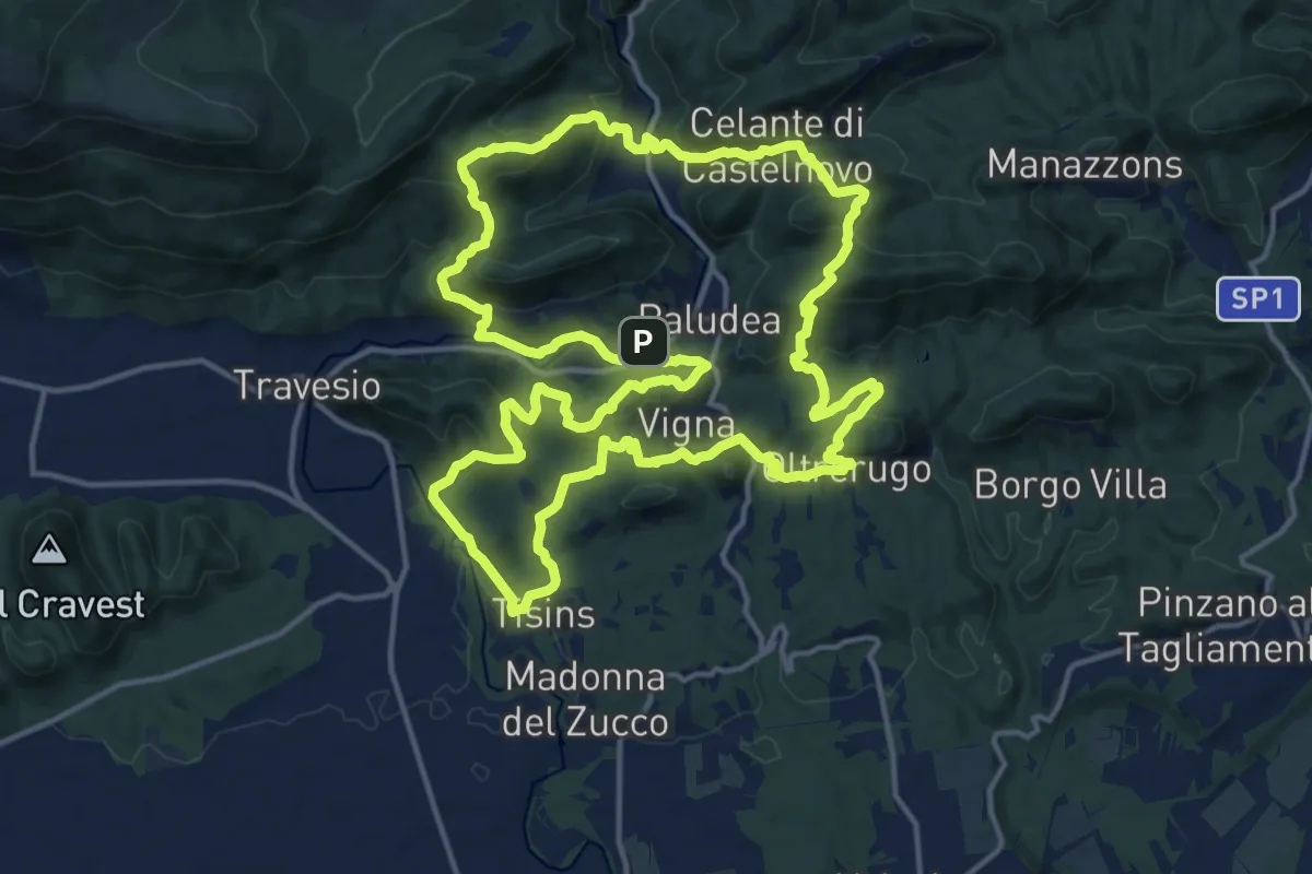
Demanding · Trail
Anello di Castelnovo
17.0 km · ↑ 819 m · 6 h 2 min · 10 km away
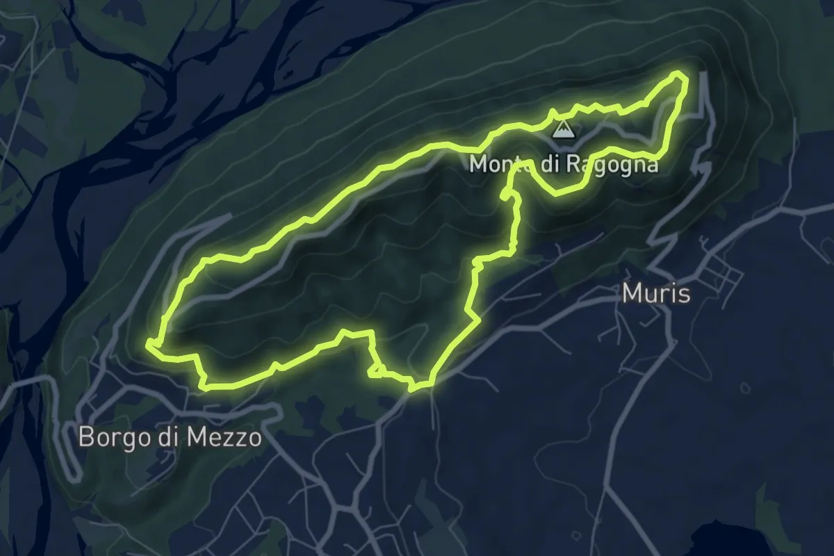
Medium · Summit
San Giacomo (Ragogna) (quota 232 m) – Cima Monte Ragogna (quota 512 m)
8.3 km · ↑ 499 m · 3 h 9 min · 10 km away
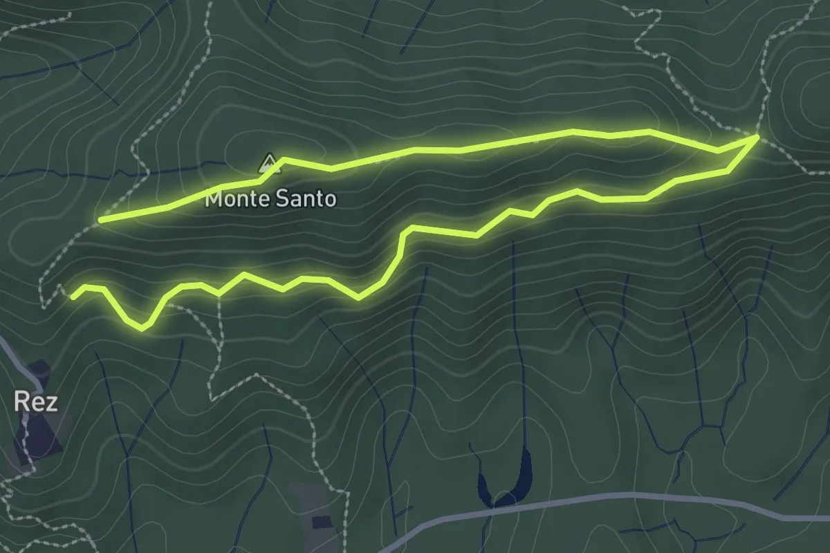
Easy · Summit
Troj dal Kis
2.4 km · ↑ 146 m · 54 min · 10 km away
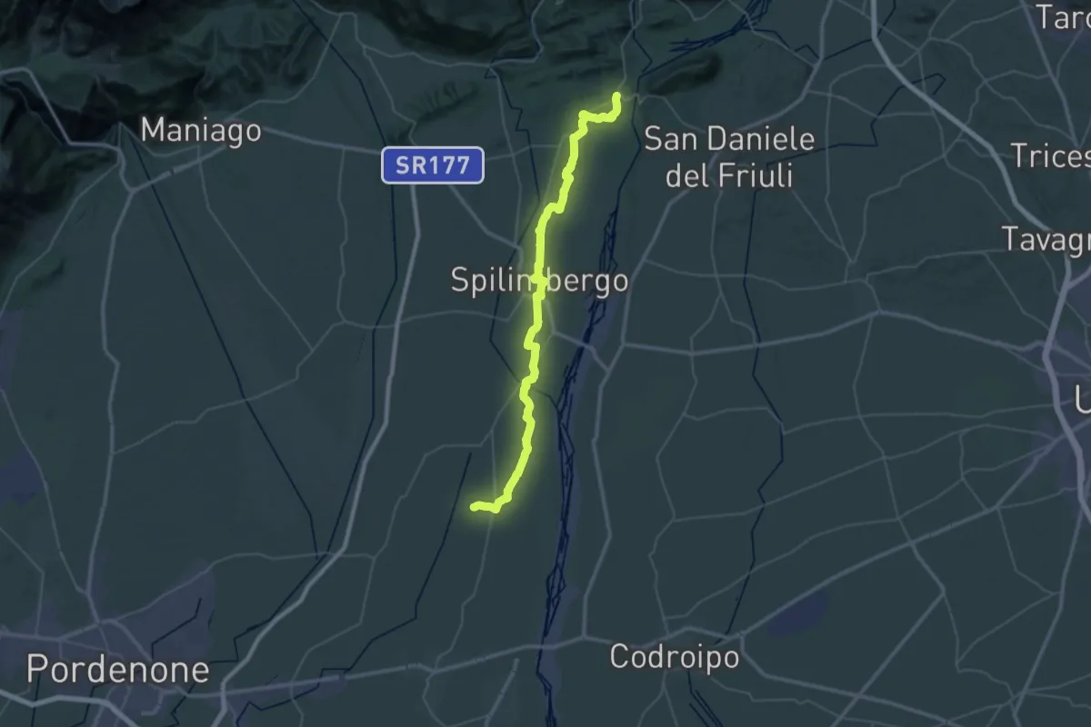
Demanding · Summit
Romea Strata in Italia - Tappa RSIT07
49.9 km · ↑ 335 m · 12 h 31 min · 10 km away
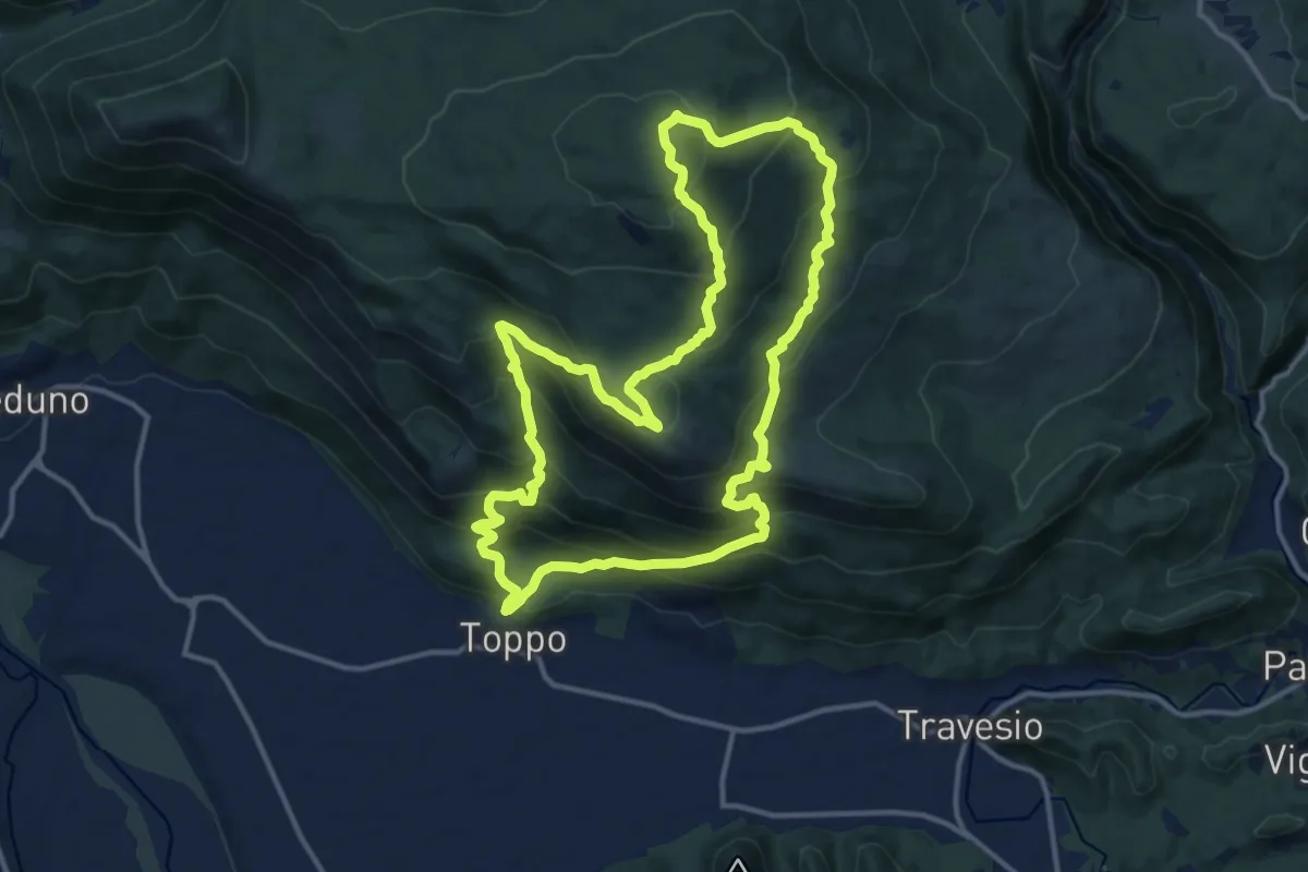
Demanding · Summit
Sentiero Gianguido Maso
13.8 km · ↑ 931 m · 5 h 27 min · 12 km away
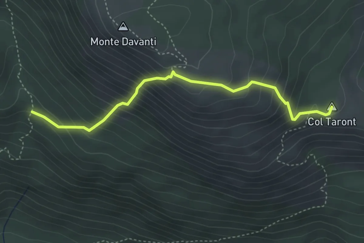
Medium · Summit
Praforte (q. 455 m) – C.ra Tàmer Bassa – bivio 850 (q. 580 m)
3.9 km · ↑ 465 m · 1 h 55 min · 12 km away
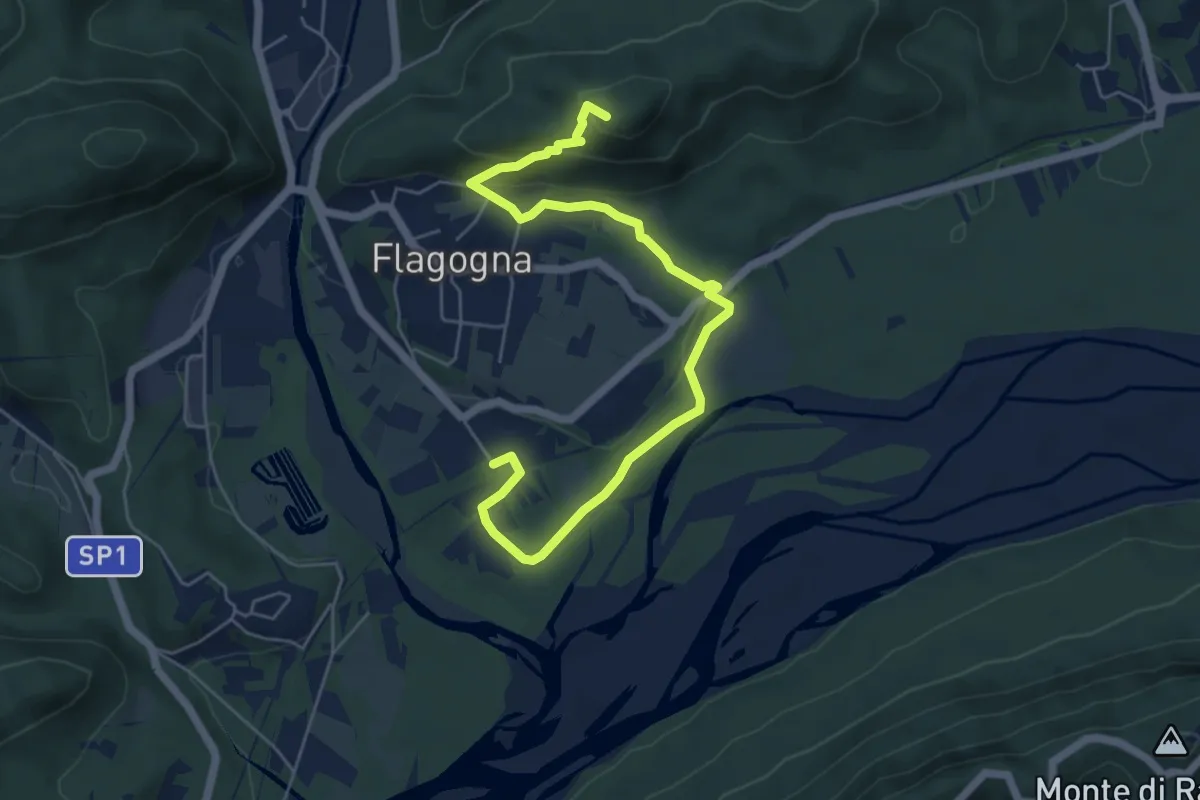
Easy · Trail
Troi di Meni
6.5 km · ↑ 177 m · 1 h 55 min · 12 km away
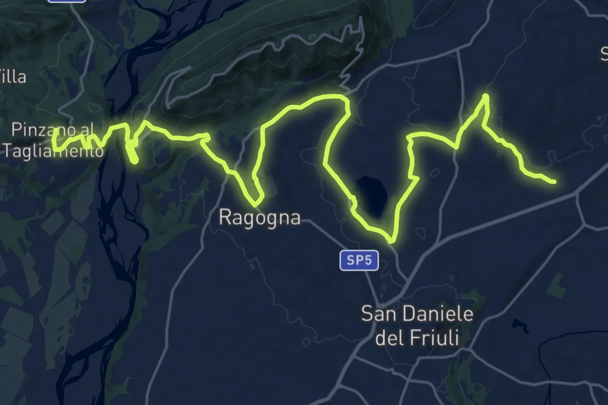
Demanding · Summit
Romea Strata in Italia - Tappa RSIT06
30.6 km · ↑ 435 m · 8 h 10 min · 13 km away
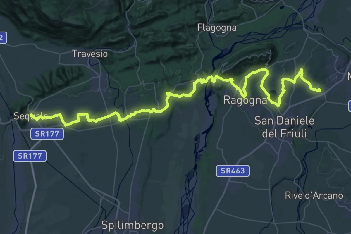
Demanding · Trail
Il Cammino di Sant'Antonio - Tappa 02G
27.6 km · ↑ 331 m · 7 h 37 min · 13 km away
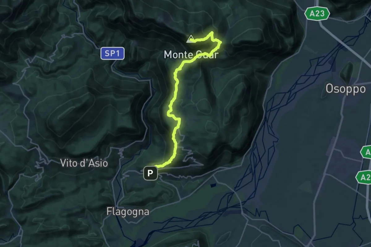
Demanding · Summit
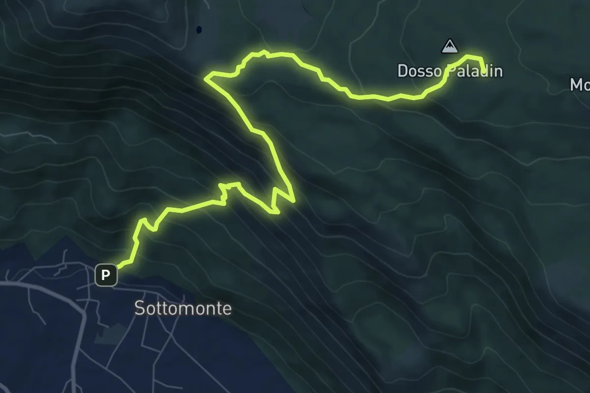
Forgaria (quota 263 m) – Monte Cuâr (quota 1478 m)
20.4 km · ↑ 1466 m · 8 h · 14 km away
Demanding · Summit
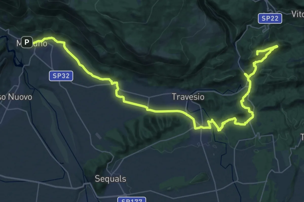
Sottomonte di Meduno (quota 292 m) – Piani di Gerchia (quota 673 m)
10.7 km · ↑ 864 m · 4 h 24 min · 14 km away
Demanding · Summit
Cammino di San Cristoforo - Tappa 4
37.9 km · ↑ 692 m · 10 h 27 min · 15 km away
Medium · Trail
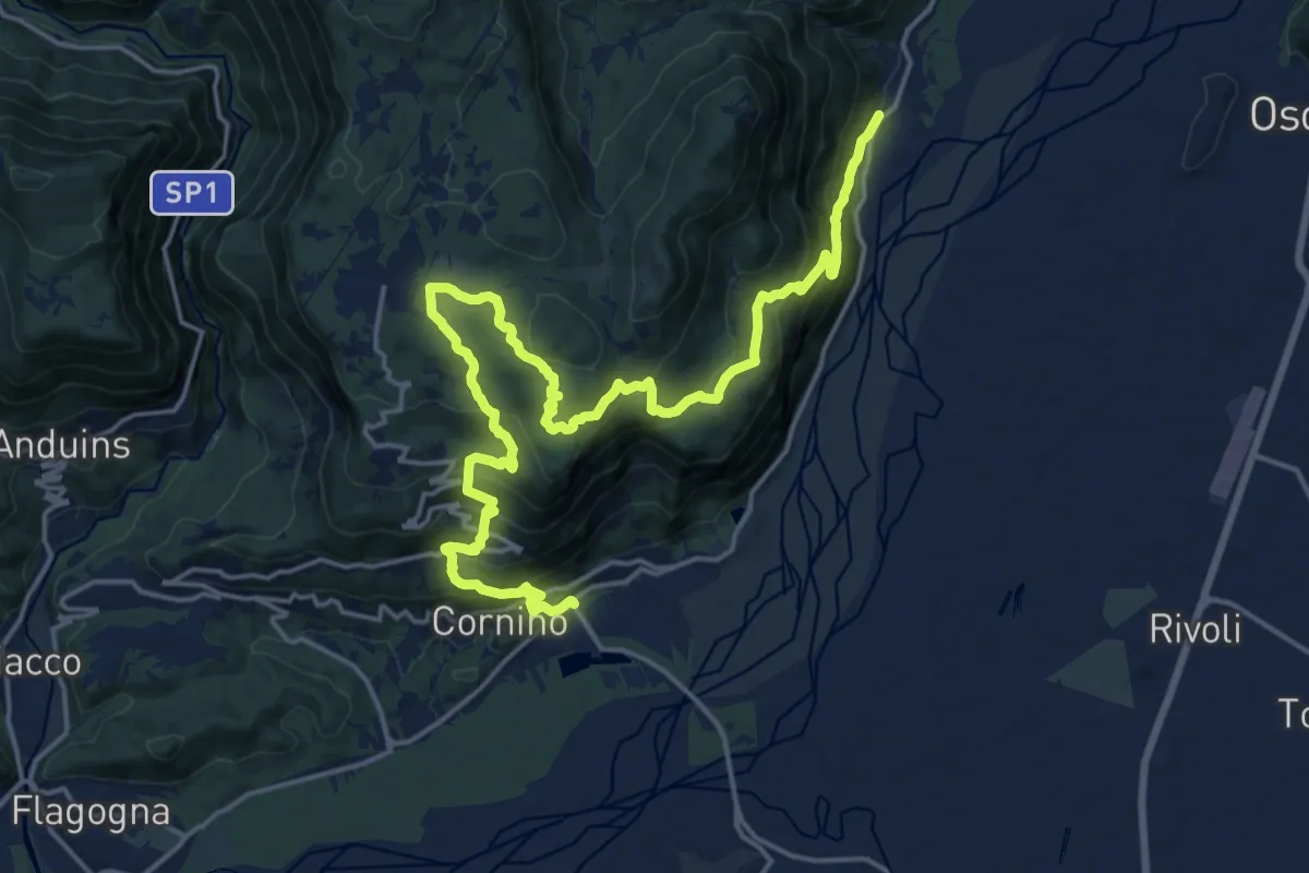
Peonis (quota 190 m) – Cornino (quota 157 m)
11.4 km · ↑ 665 m · 4 h 16 min · 15 km away