Trails near Spoleto
52 hikes starting within 15 km, nearest first.
Nearest first, page 1 of 2
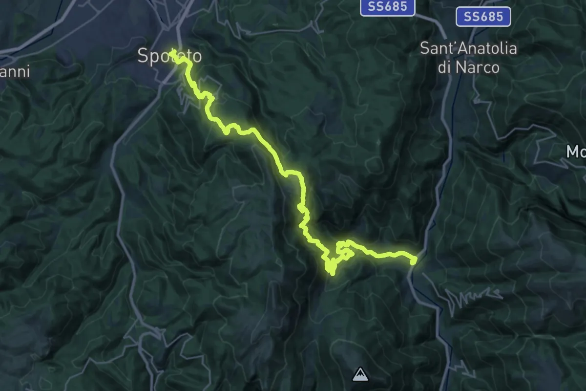
Demanding · Trail
Via di Francesco / Via del SUD - Tappa 10
16.1 km · ↑ 1014 m · 6 h 16 min · under 1 km away
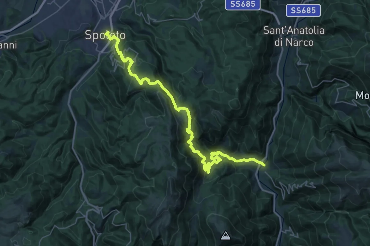
Demanding · Trail
Via di Francesco - Tappa 13
16.0 km · ↑ 998 m · 6 h 14 min · under 1 km away
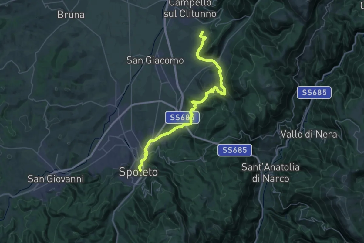
Medium · Trail
Via di Francesco/Via del SUD - Tappa 11
14.9 km · ↑ 499 m · 4 h 50 min · under 1 km away
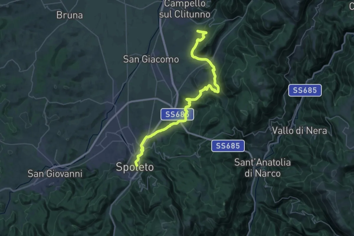
Medium · Trail
Via di Francesco - Tappa 12
15.6 km · ↑ 574 m · 5 h 9 min · under 1 km away
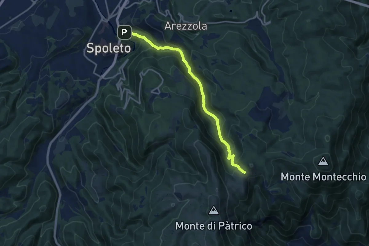
Medium · Trail
Sentiero Valcieca
11.1 km · ↑ 616 m · 3 h 58 min · 1 km away
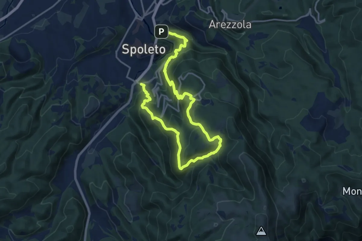
Medium · Trail
Eremi del Monteluco
9.0 km · ↑ 707 m · 3 h 45 min · 1 km away
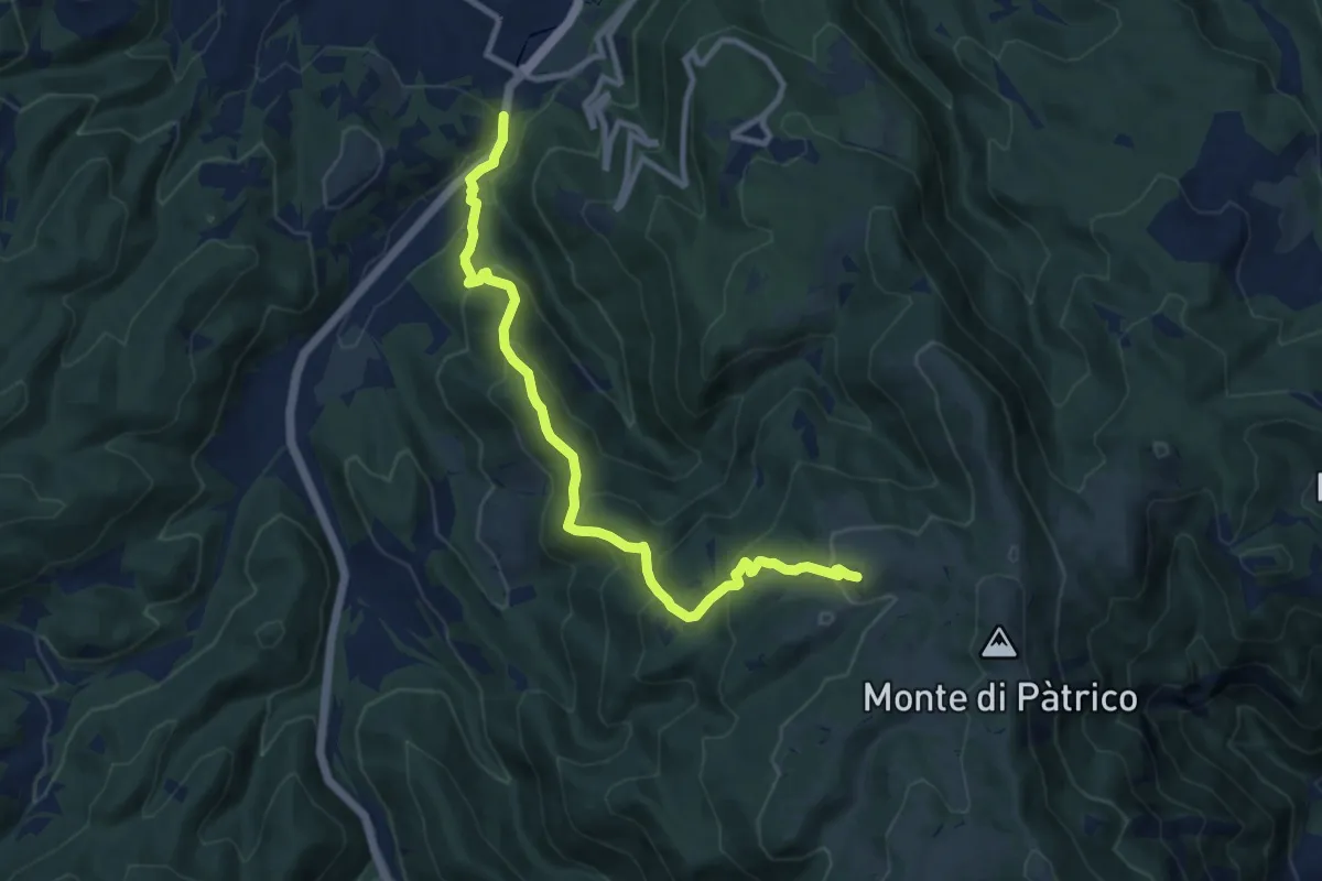
Medium · Trail
Strada dei Patricani
10.9 km · ↑ 673 m · 4 h 2 min · 1 km away
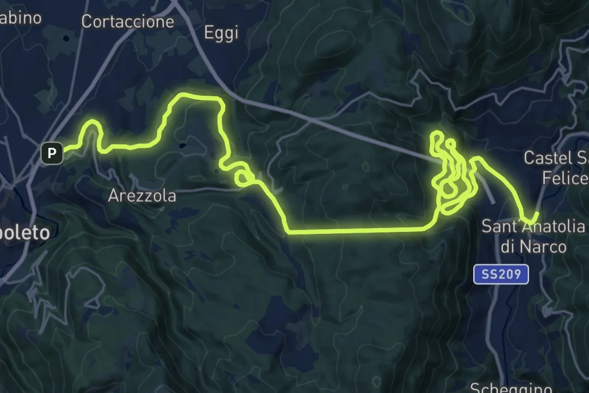
Demanding · Trail
Ex Ferrovia Spoleto - Norcia
18.0 km · ↑ 1038 m · 6 h 46 min · 1 km away
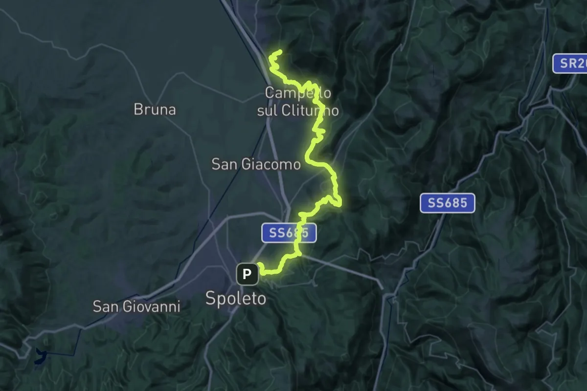
Demanding · Trail
Sentiero degli Ulivi – tratto Spoleto Trevi
23.5 km · ↑ 1130 m · 8 h 14 min · 1 km away
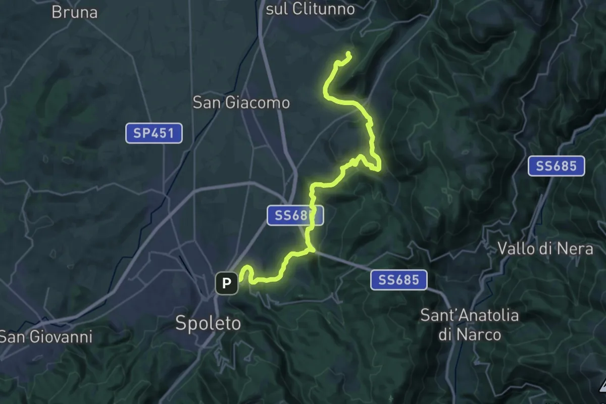
Medium · Trail
Sentiero degli Ulivi - Tappa 1
14.2 km · ↑ 603 m · 4 h 48 min · 1 km away
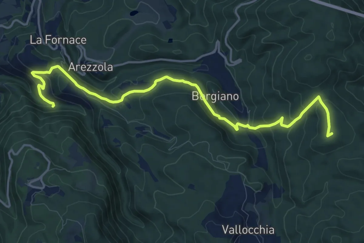
Medium · Summit
Strada delle Ferriere
13.4 km · ↑ 545 m · 4 h 20 min · 1 km away
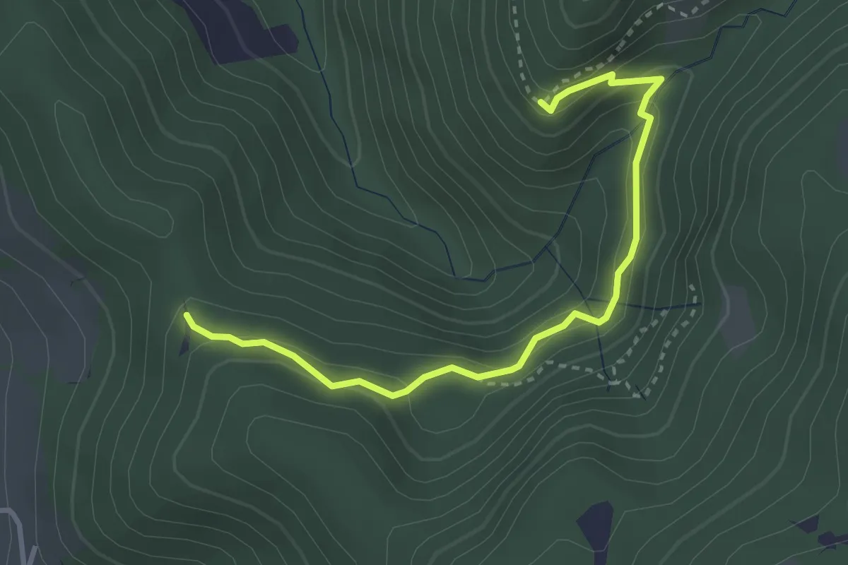
Easy · Trail
Grotte di San Bettone
3.5 km · ↑ 251 m · 1 h 22 min · 3 km away
Easy · Trail
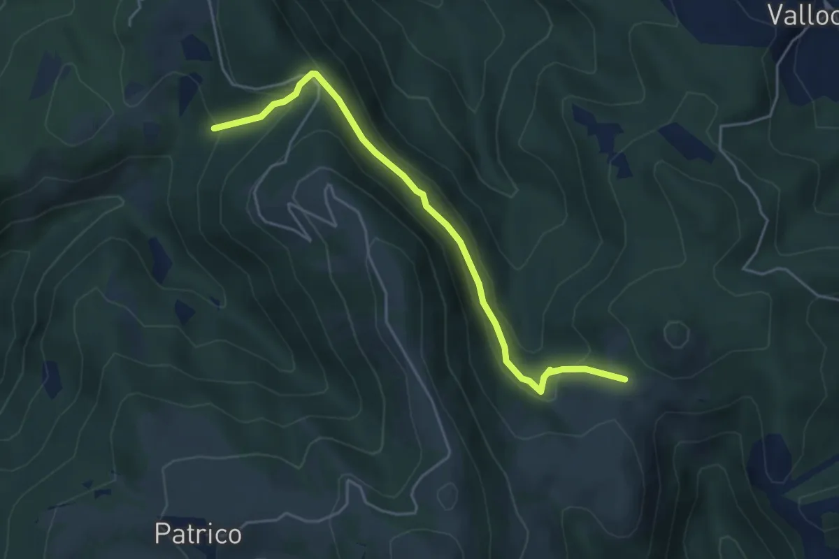
Le Porelle – Castelmonte
4.8 km · ↑ 271 m · 1 h 43 min · 5 km away
Demanding · Trail
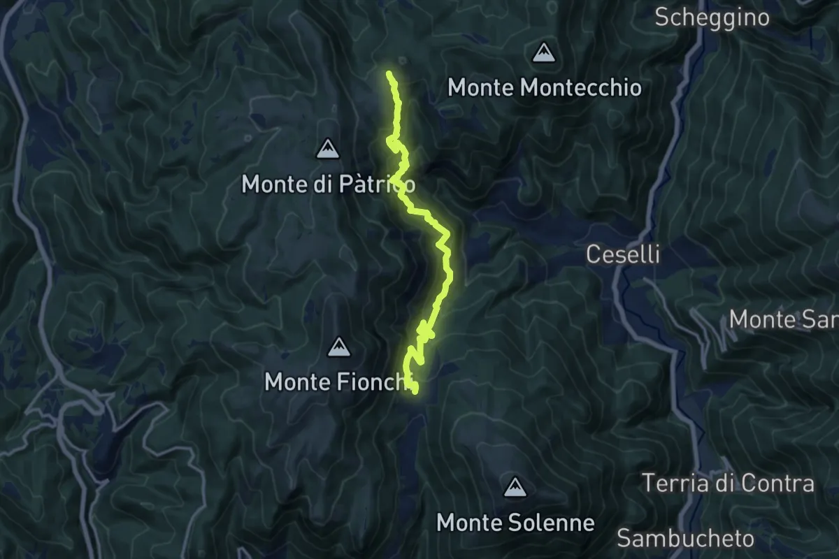
Sentiero Valcieca
13.2 km · ↑ 1072 m · 5 h 26 min · 5 km away
Medium · Trail
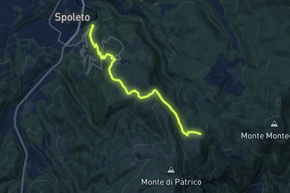
Sentiero Pio IX Spoleto - Monteleone di Spoleto
12.3 km · ↑ 783 m · 4 h 35 min · 5 km away
Medium · Summit
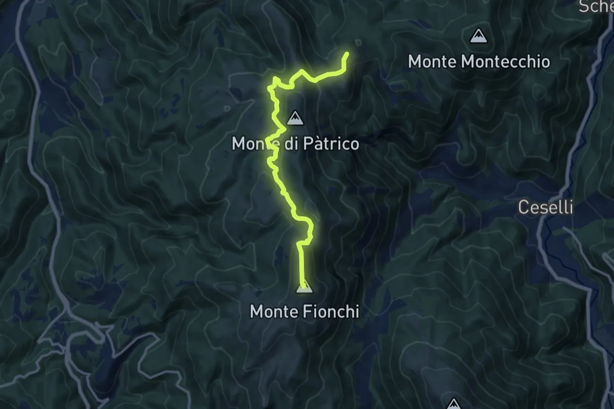
Sentiero dei Castellieri
11.6 km · ↑ 505 m · 3 h 50 min · 5 km away
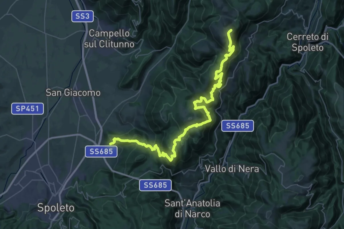
Demanding · Summit
Eggi – Monte Maggiore
40.9 km · ↑ 2479 m · 15 h 2 min · 5 km away
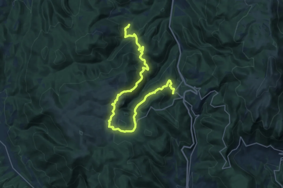
Demanding · Trail
Valdarena – Pompagnano
23.4 km · ↑ 1082 m · 7 h 52 min · 8 km away
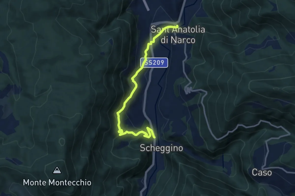
Medium · Trail
Sant'Anatolia di Narco – Scheggino
8.9 km · ↑ 508 m · 3 h 12 min · 8 km away
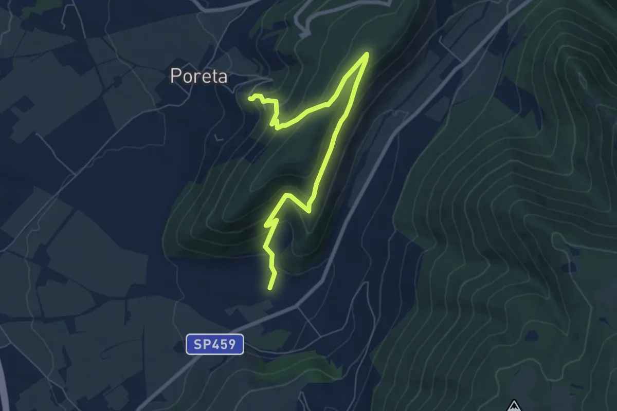
Medium · Trail
Sentiero delgli Ulivi - Variante Costa Paradiso
8.1 km · ↑ 436 m · 2 h 51 min · 8 km away
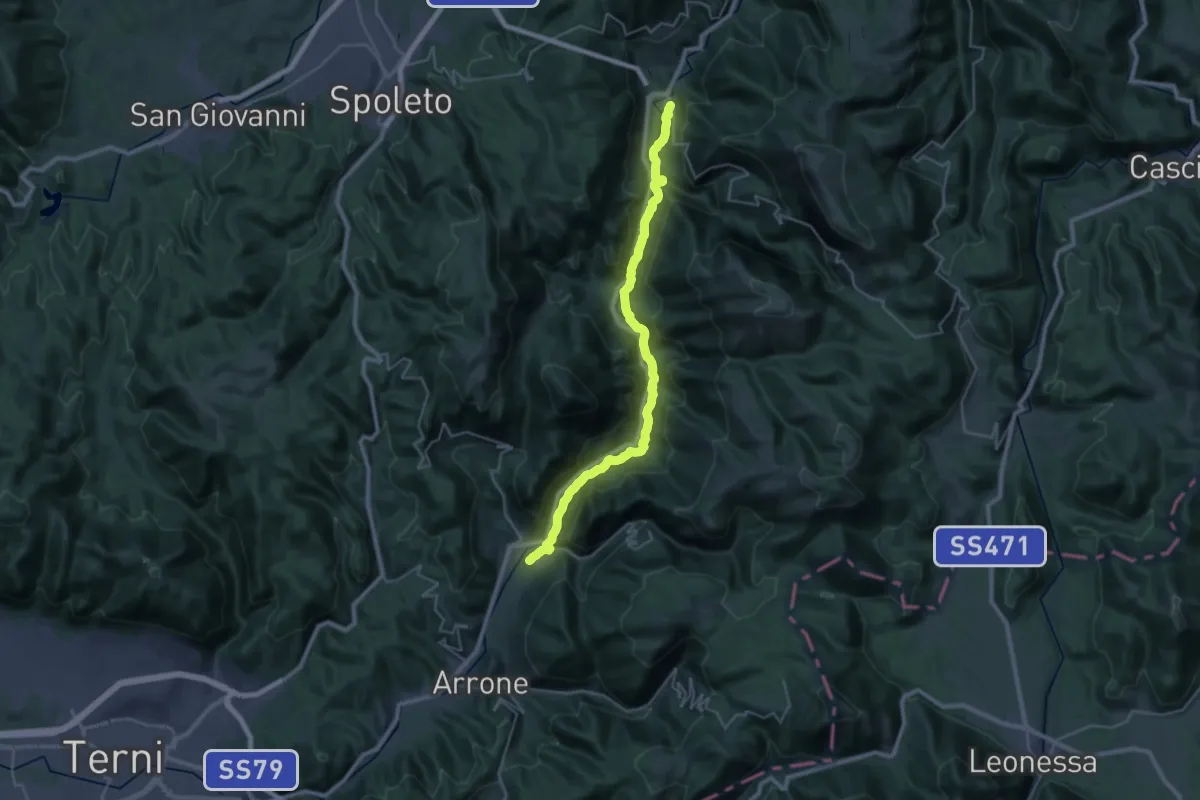
Medium · Trail
Lungonera Ferentillo - Sant'Anatolia di Narco
16.6 km · ↑ 195 m · 4 h 37 min · 8 km away
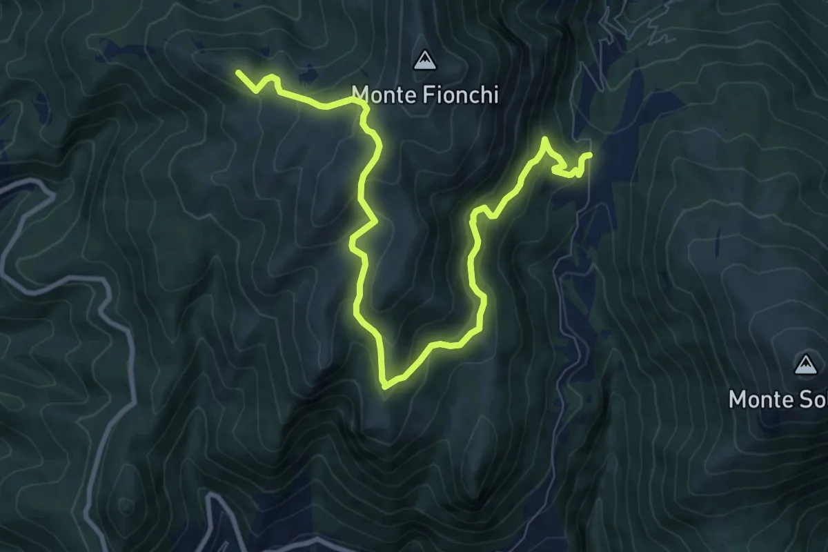
Medium · Summit
Torrecola – Forca di Cese
11.3 km · ↑ 651 m · 4 h 5 min · 8 km away
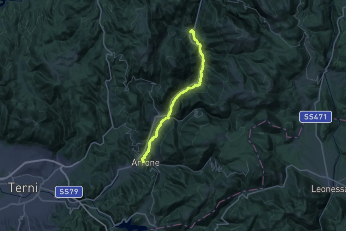
Demanding · Trail
Via di Francesco/Via del SUD - Tappa 9
29.9 km · ↑ 351 m · 7 h 50 min · 8 km away
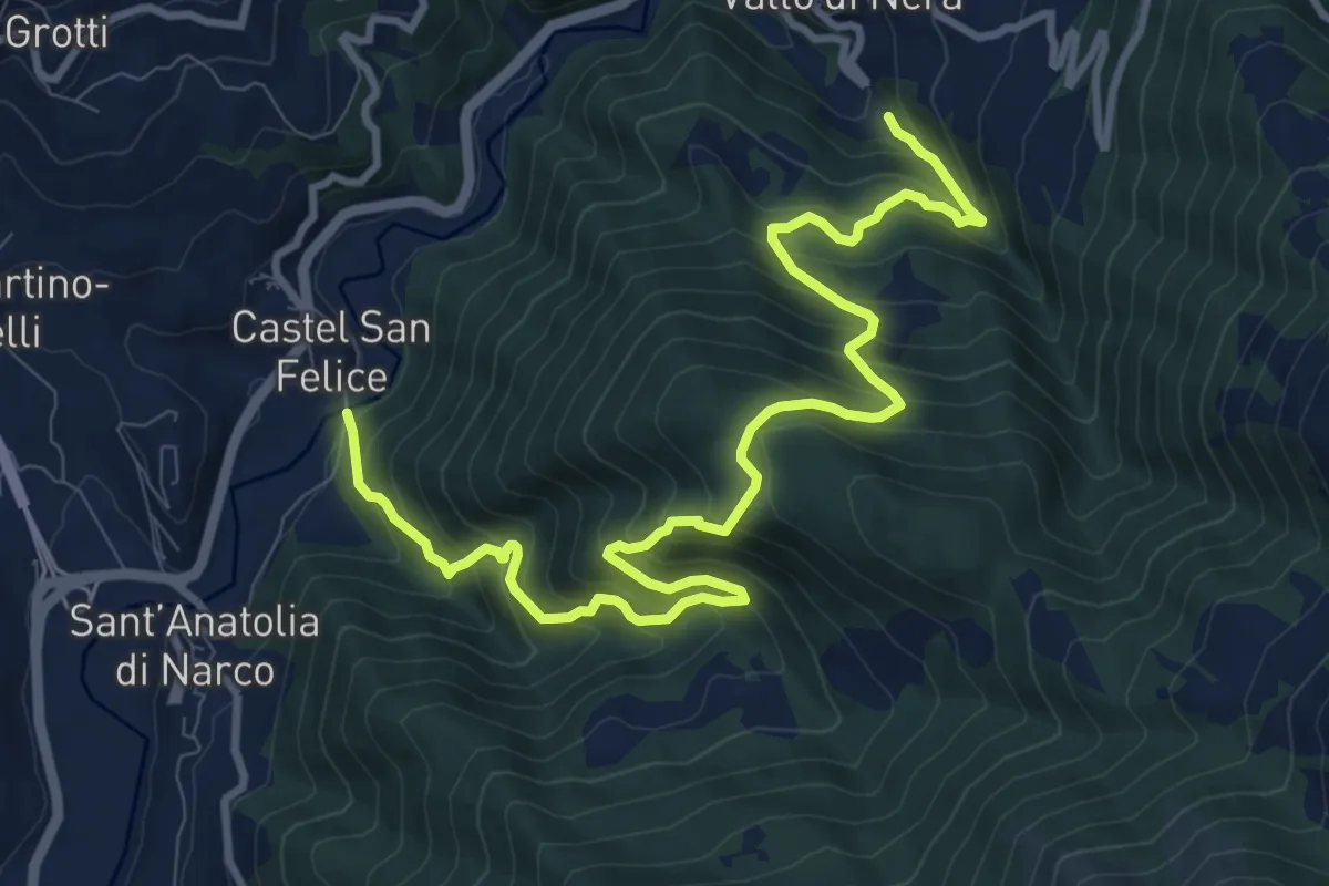
Demanding · Trail
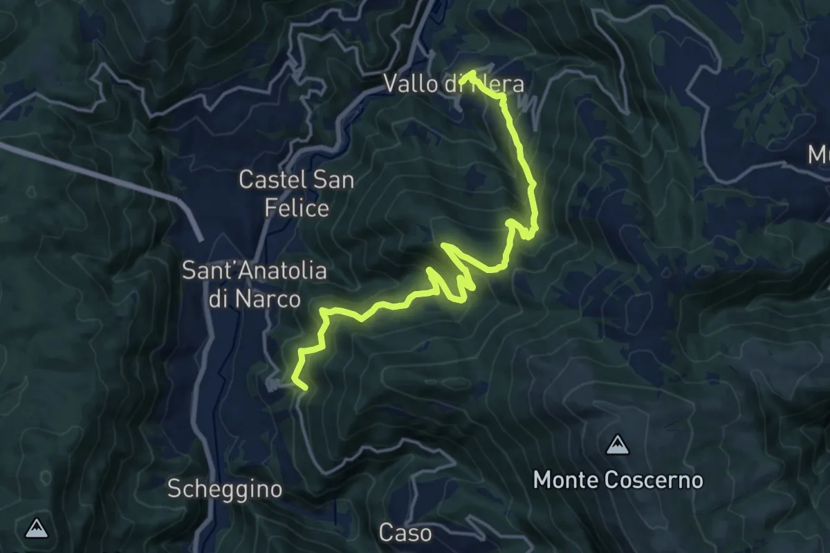
Castel San Felice – Vallo di Nera
13.2 km · ↑ 1183 m · 5 h 40 min · 9 km away
Demanding · Trail
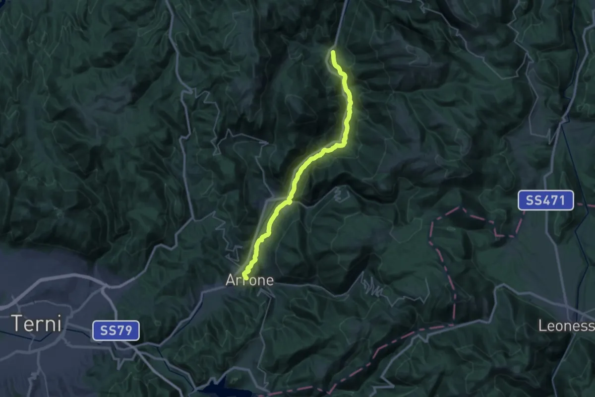
Sant'Anatolia di Narco – Vallo di Nera
17.6 km · ↑ 1063 m · 6 h 28 min · 9 km away
Demanding · Trail
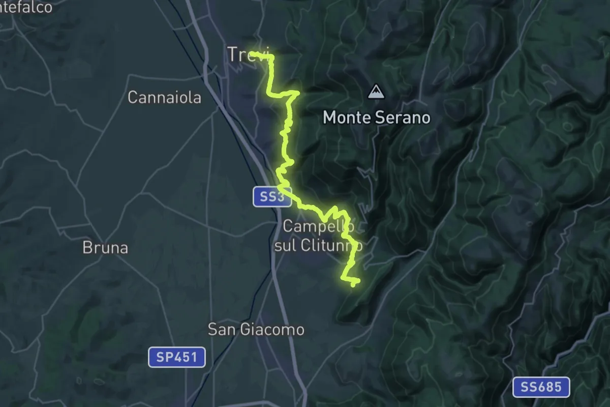
Via di Francesco - Tappa 14
29.0 km · ↑ 283 m · 7 h 28 min · 9 km away
Medium · Trail
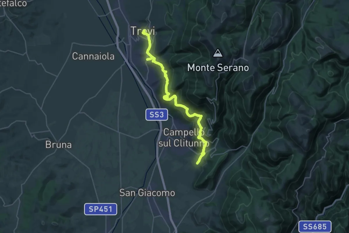
Sentiero degli Ulivi - Tappa 2
15.2 km · ↑ 699 m · 5 h 20 min · 9 km away
Medium · Trail
Via di Francesco/Via del SUD - Tappa 12
12.8 km · ↑ 617 m · 4 h 30 min · 9 km away
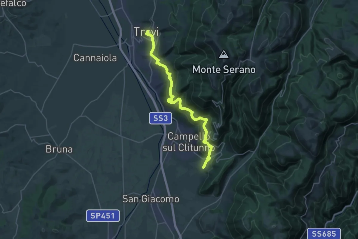
Demanding · Trail
Via di Francesco - Tappa 11
24.1 km · ↑ 1050 m · 7 h 58 min · 9 km away
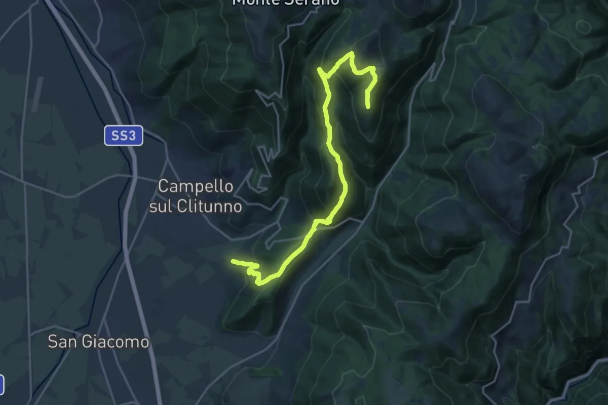
Demanding · Summit
Poreta - Spina Nuova
20.0 km · ↑ 1125 m · 7 h 9 min · 9 km away
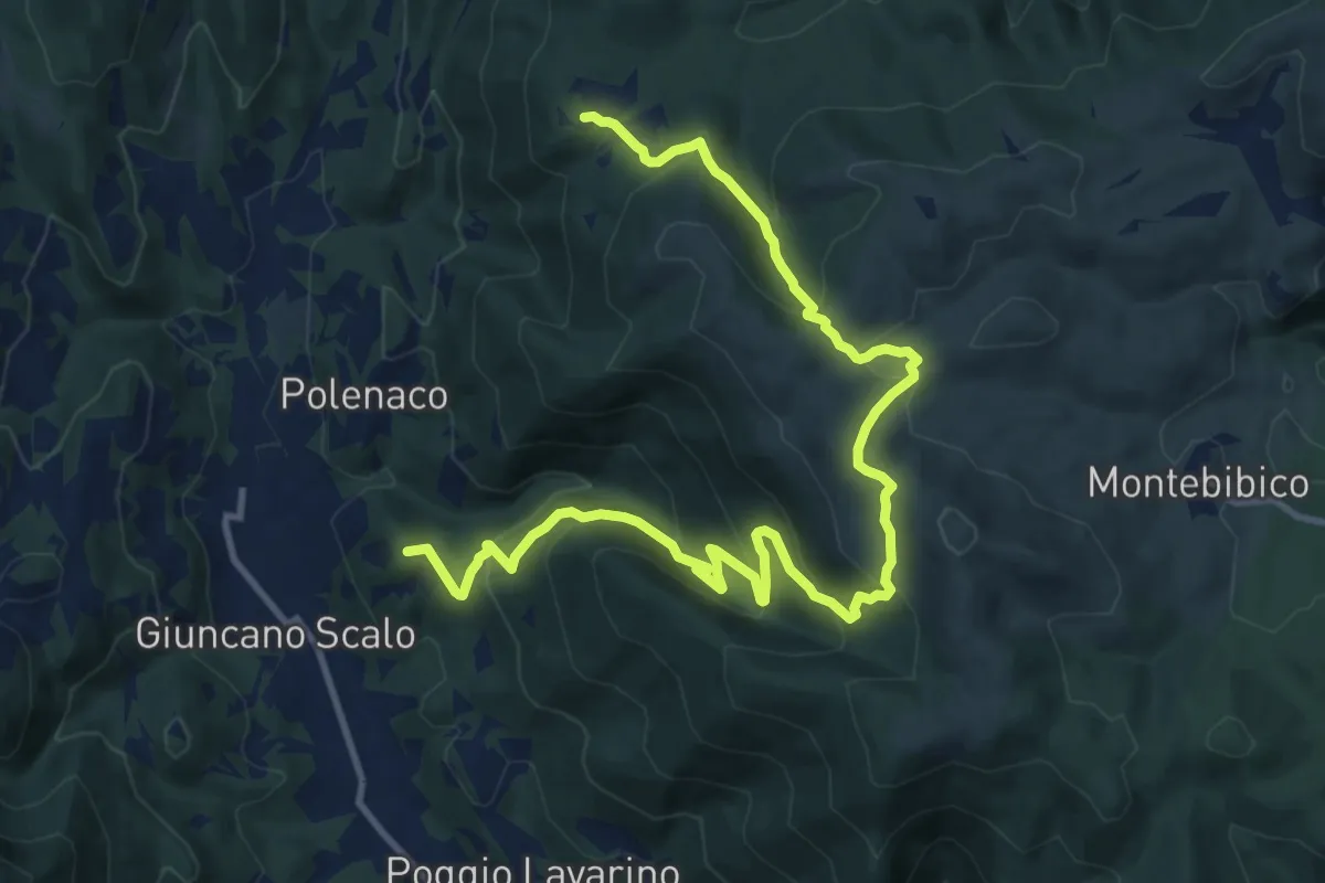
Demanding · Summit
Polenaco – Castagnacupa
15.7 km · ↑ 877 m · 5 h 36 min · 10 km away
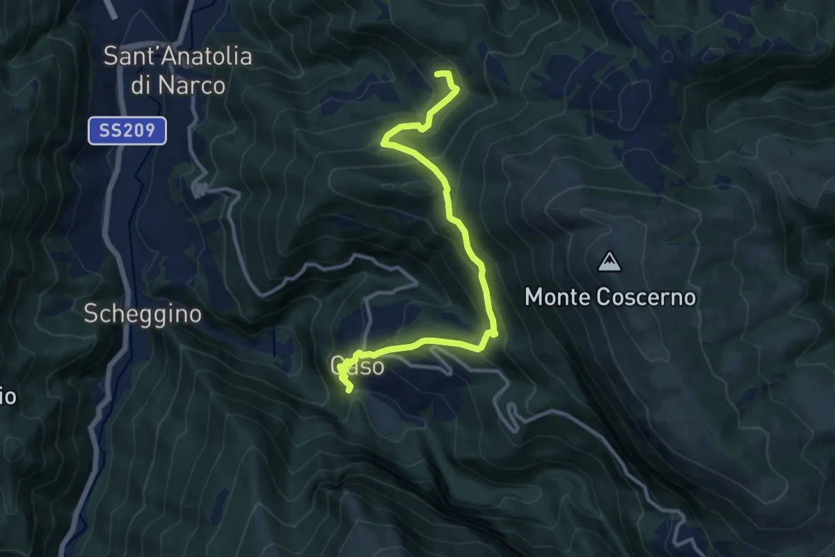
Demanding · Trail
Caso – Intersezione percorso 542
11.6 km · ↑ 866 m · 4 h 37 min · 10 km away
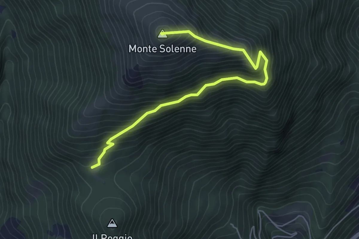
Medium · Summit
Intersezione percorso 608 – Monte Solenne
5.6 km · ↑ 556 m · 2 h 32 min · 11 km away
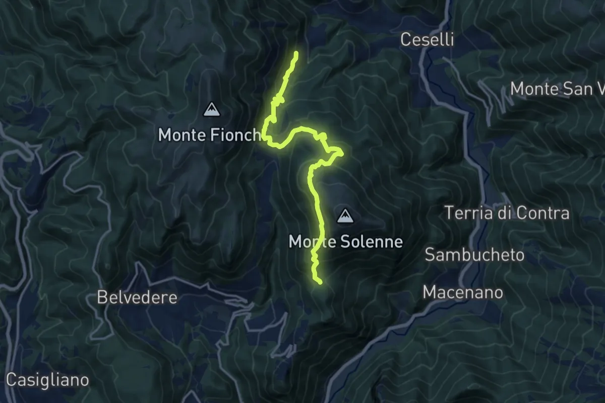
Demanding · Trail
Intersezione Via di Francesco – Intersezione percorso 607
13.9 km · ↑ 871 m · 5 h 10 min · 11 km away
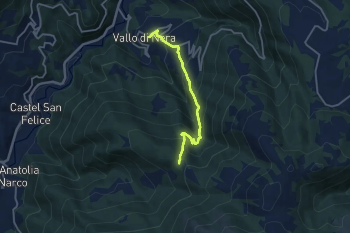
Medium · Trail
Vallo di Nera – Forchetta di Vallo
6.9 km · ↑ 534 m · 2 h 47 min · 11 km away
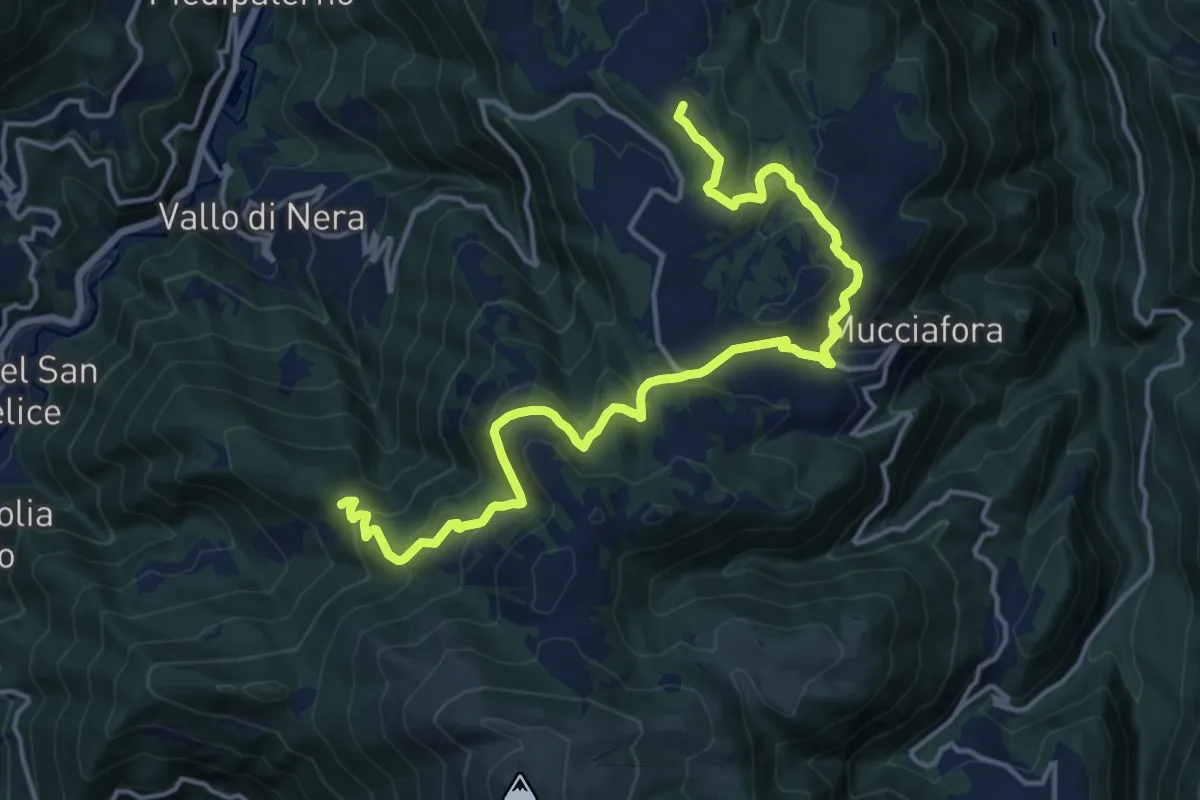
Demanding · Summit
Forchetta di Vallo – Ponte
18.4 km · ↑ 674 m · 5 h 49 min · 11 km away
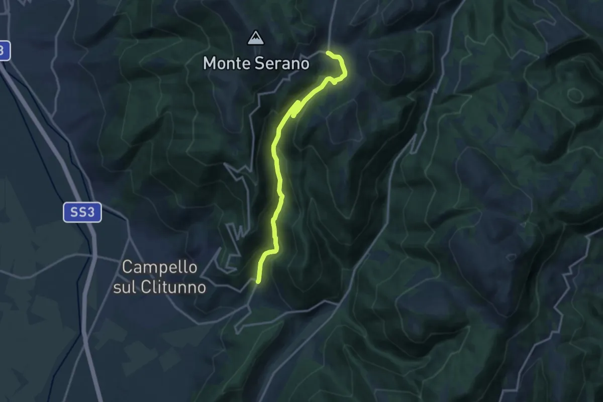
Medium · Trail
Casaline – Pettino
12.9 km · ↑ 654 m · 4 h 28 min · 11 km away
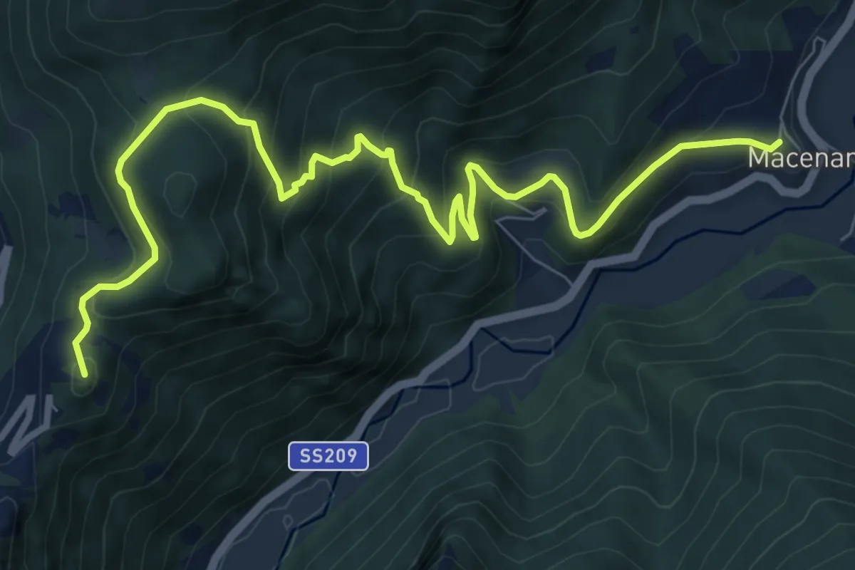
Medium · Summit
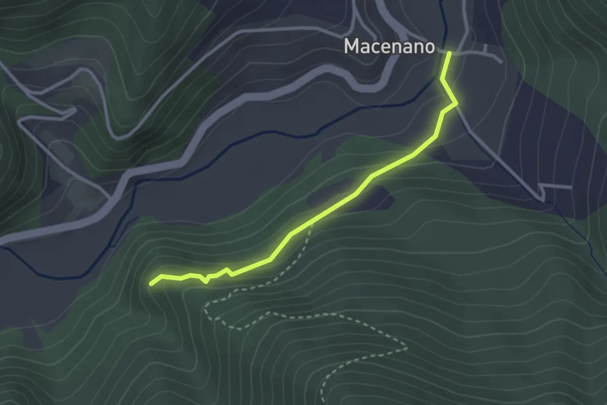
Ferentillo – Macenano
10.3 km · ↑ 702 m · 3 h 57 min · 12 km away
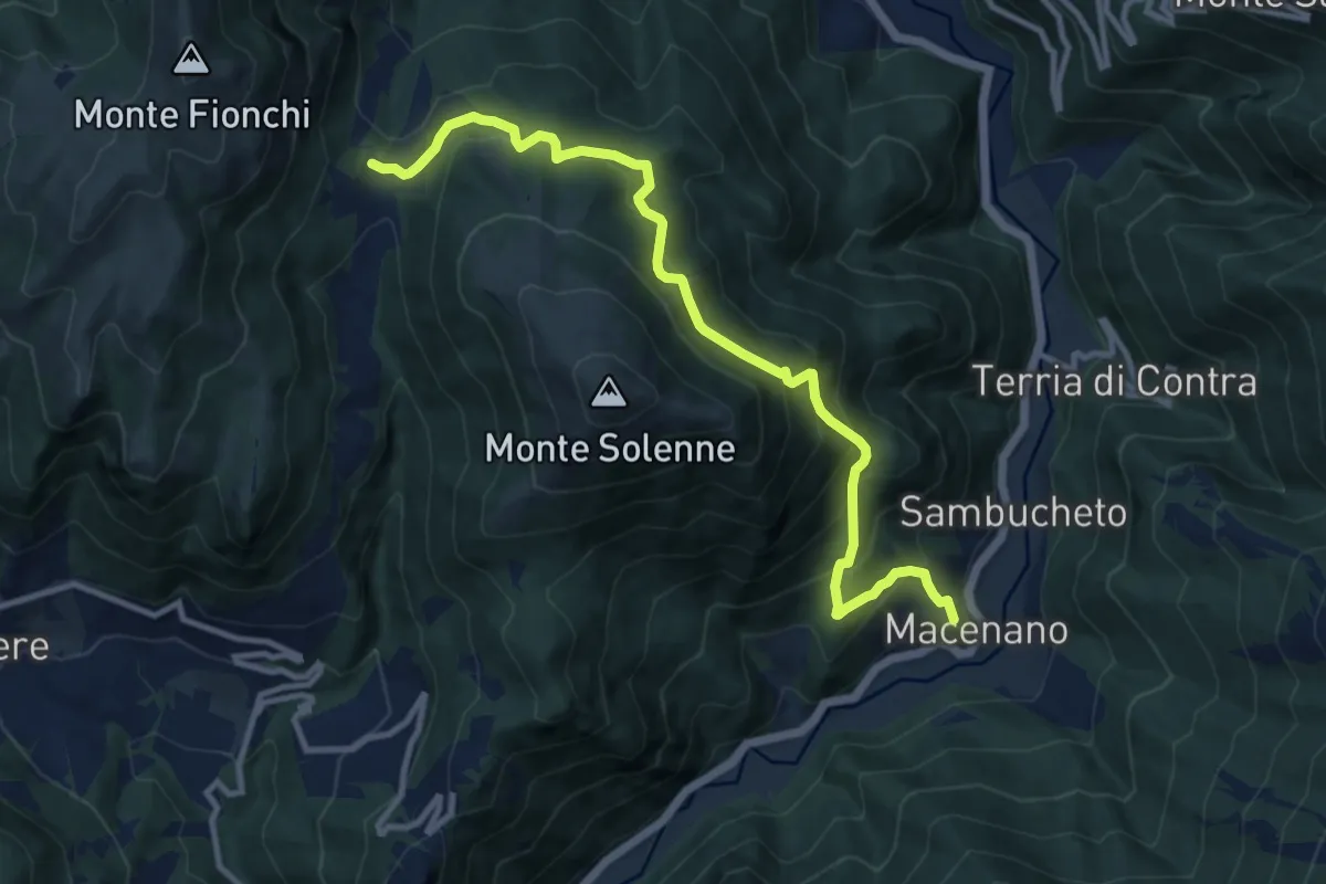
Demanding · Trail
Sentiero dei Longobardi
12.2 km · ↑ 875 m · 4 h 46 min · 12 km away
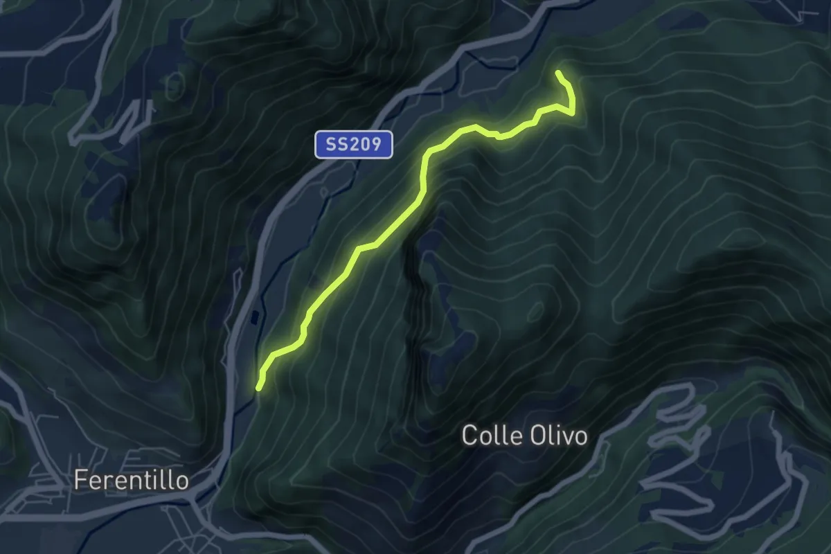
Medium · Trail
Umbriano – Intersezione Via di Francesco
5.3 km · ↑ 484 m · 2 h 18 min · 12 km away
Easy · Trail
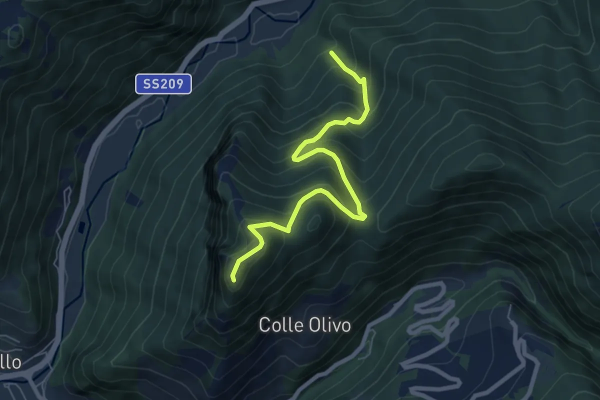
Colleponte – Umbriano
2.8 km · ↑ 141 m · 58 min · 12 km away
Medium · Trail
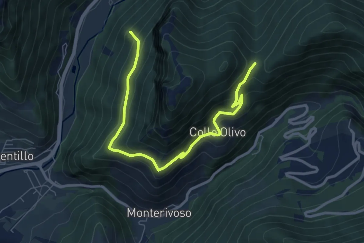
Intersezione percorso 610A – Monte Sant'Angelo
6.3 km · ↑ 618 m · 2 h 50 min · 12 km away
Medium · Trail
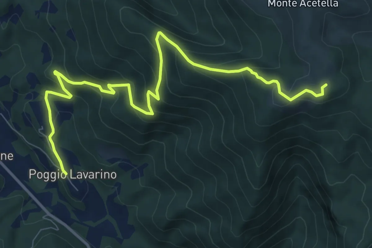
Intersezione percorso 610A – Forca di Colleolivo
7.6 km · ↑ 493 m · 2 h 52 min · 13 km away
Medium · Summit
Poggio Lavarino – Fonte Acquasalce
10.5 km · ↑ 658 m · 3 h 55 min · 13 km away
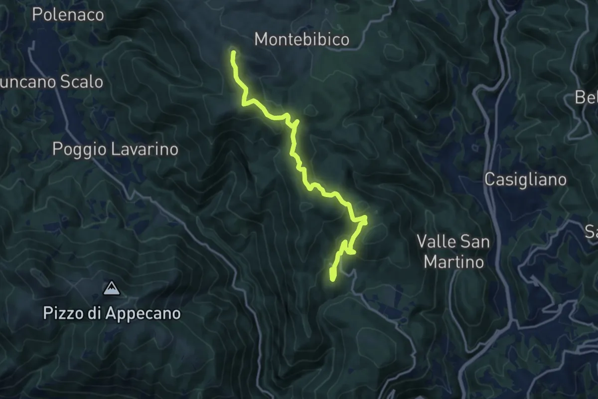
Medium · Summit
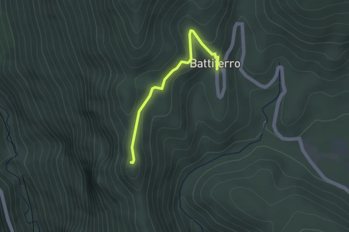
Battiferro – Forca
13.7 km · ↑ 467 m · 4 h 15 min · 13 km away
Easy · Trail
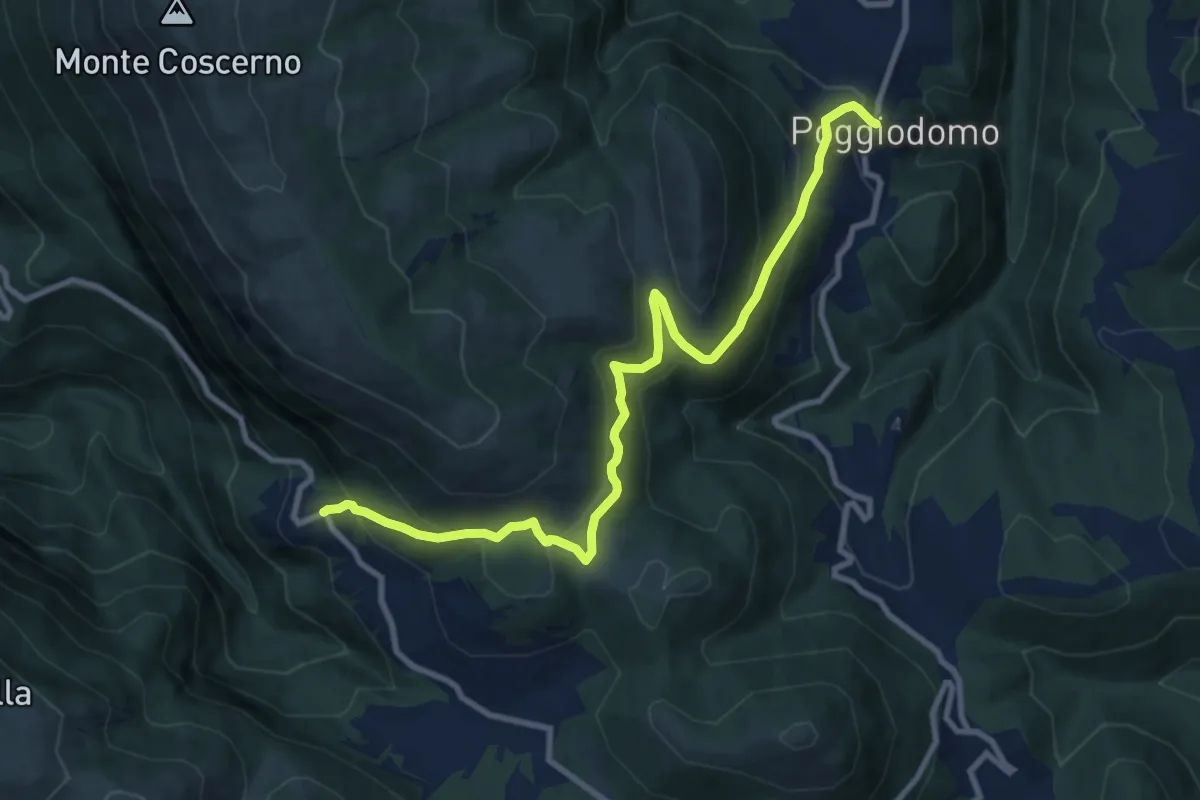
Battiferro – I Santi
2.7 km · ↑ 94 m · 50 min · 13 km away
Medium · Trail
Sentiero della Transumanza
11.3 km · ↑ 687 m · 4 h 9 min · 14 km away
Medium · Summit
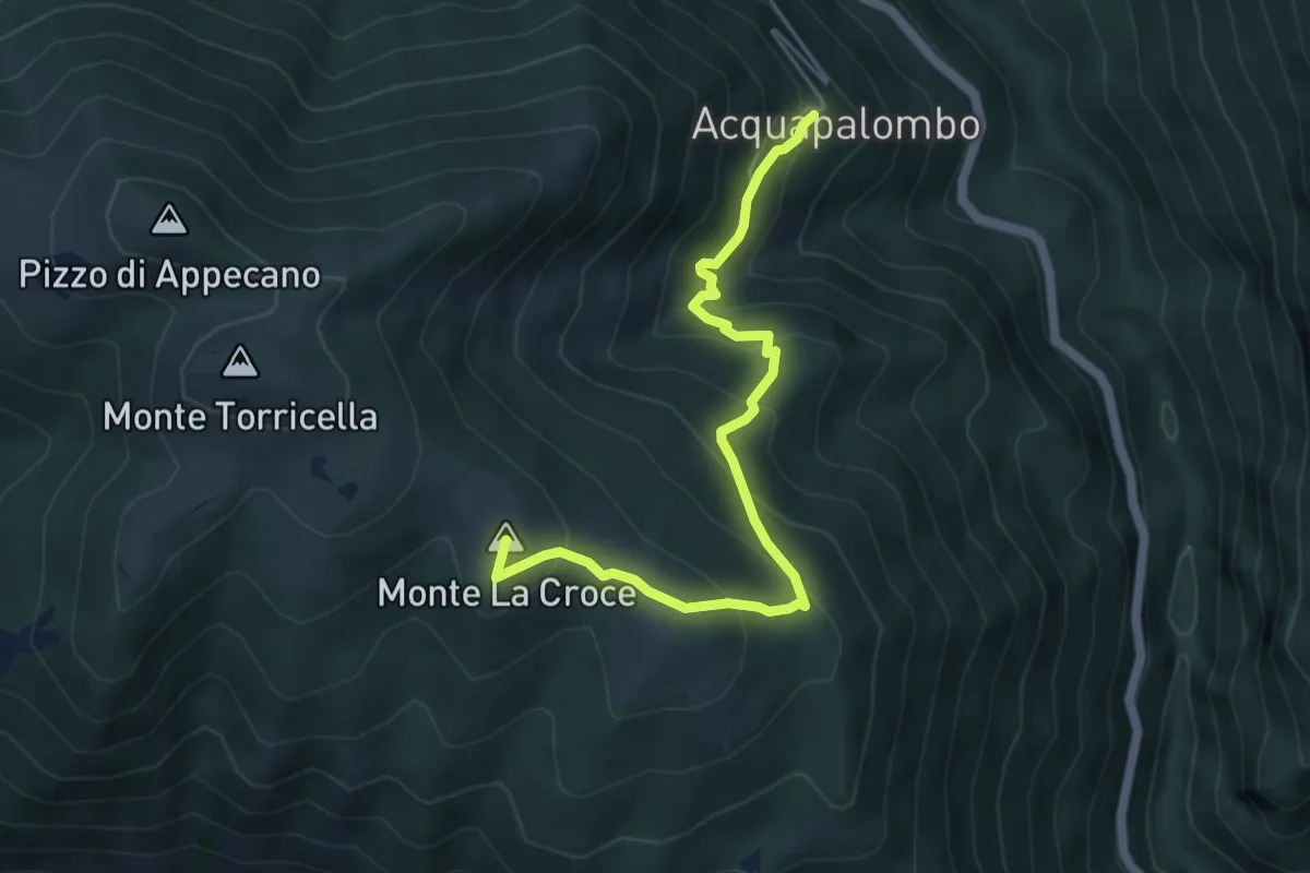
Acquapalombo – Monte La Croce
5.6 km · ↑ 440 m · 2 h 16 min · 14 km away