Trails near Sterzing - Vipiteno
84 hikes starting within 15 km, nearest first.
Nearest first, page 1 of 2
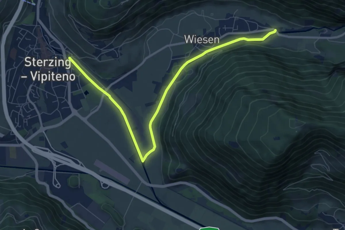
Medium · Trail
Bachdammweg
9.3 km · ↑ 66 m · 2 h 20 min · under 1 km away
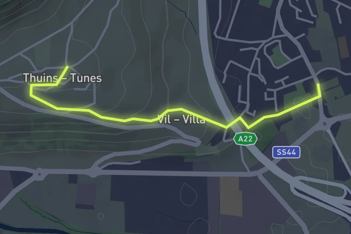
Easy · Trail
Besinnungsweg
3.3 km · ↑ 121 m · 1 h 2 min · 1 km away
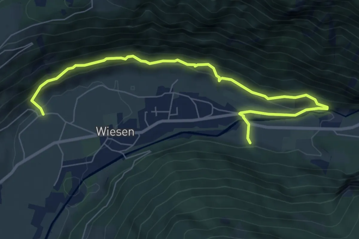
Medium · Trail
Roanderweg
7.5 km · ↑ 437 m · 2 h 44 min · 2 km away
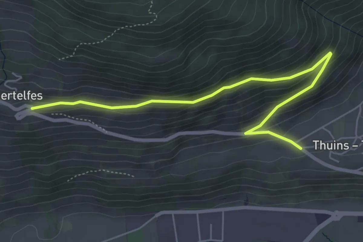
Easy · Trail
Thuins-Telfes
5.8 km · ↑ 244 m · 1 h 53 min · 2 km away
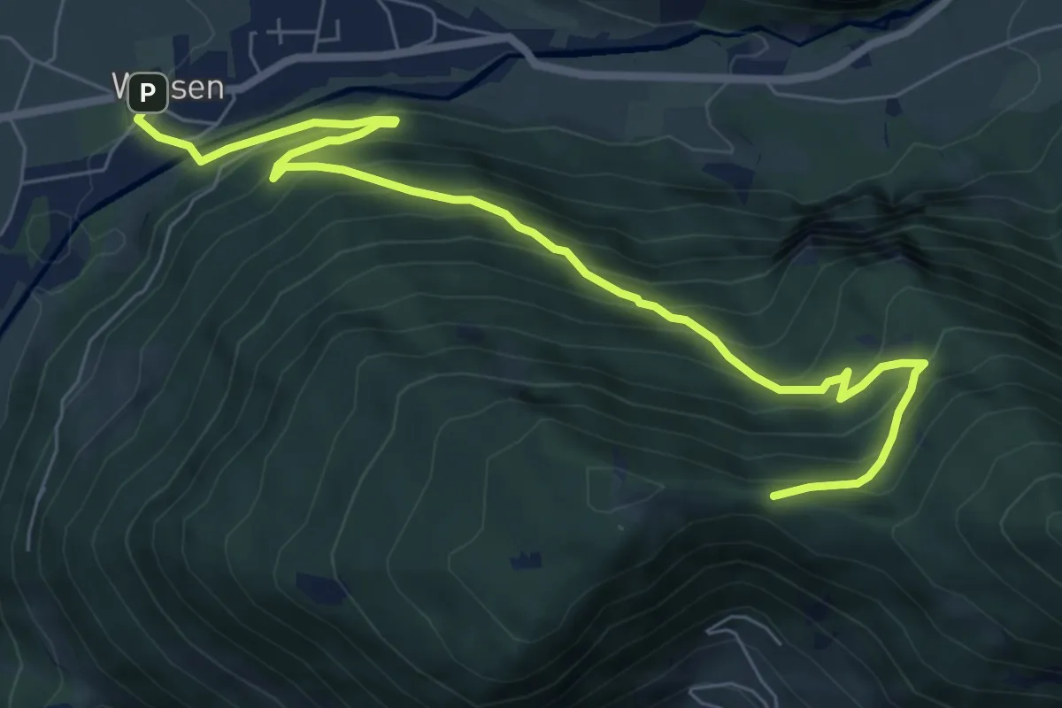
Medium · Trail
Schnaggenweg
8.3 km · ↑ 686 m · 3 h 27 min · 2 km away
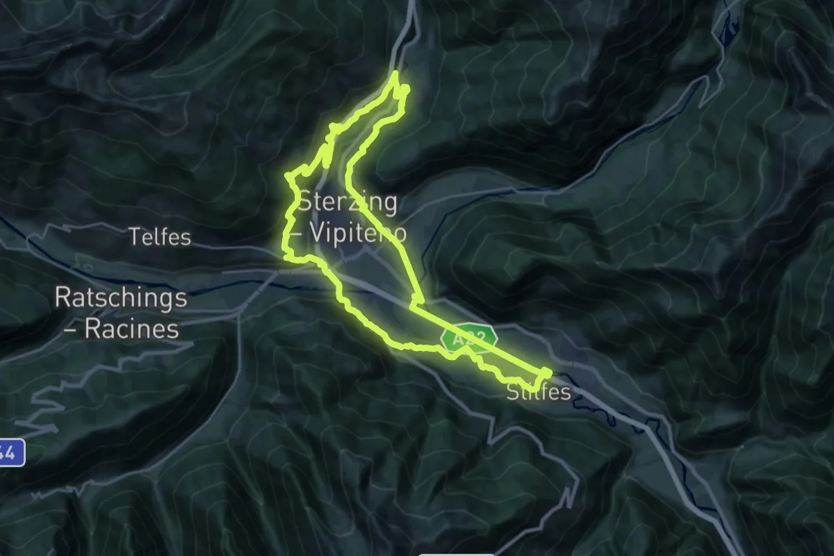
Demanding · Trail
Sterzinger Rundweg
22.1 km · ↑ 574 m · 6 h 46 min · 3 km away
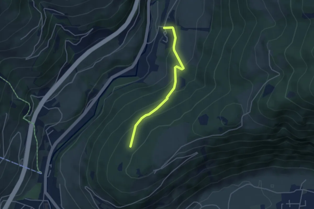
Easy · Trail
Ried Freiwiese Platte
3.3 km · ↑ 275 m · 1 h 23 min · 3 km away
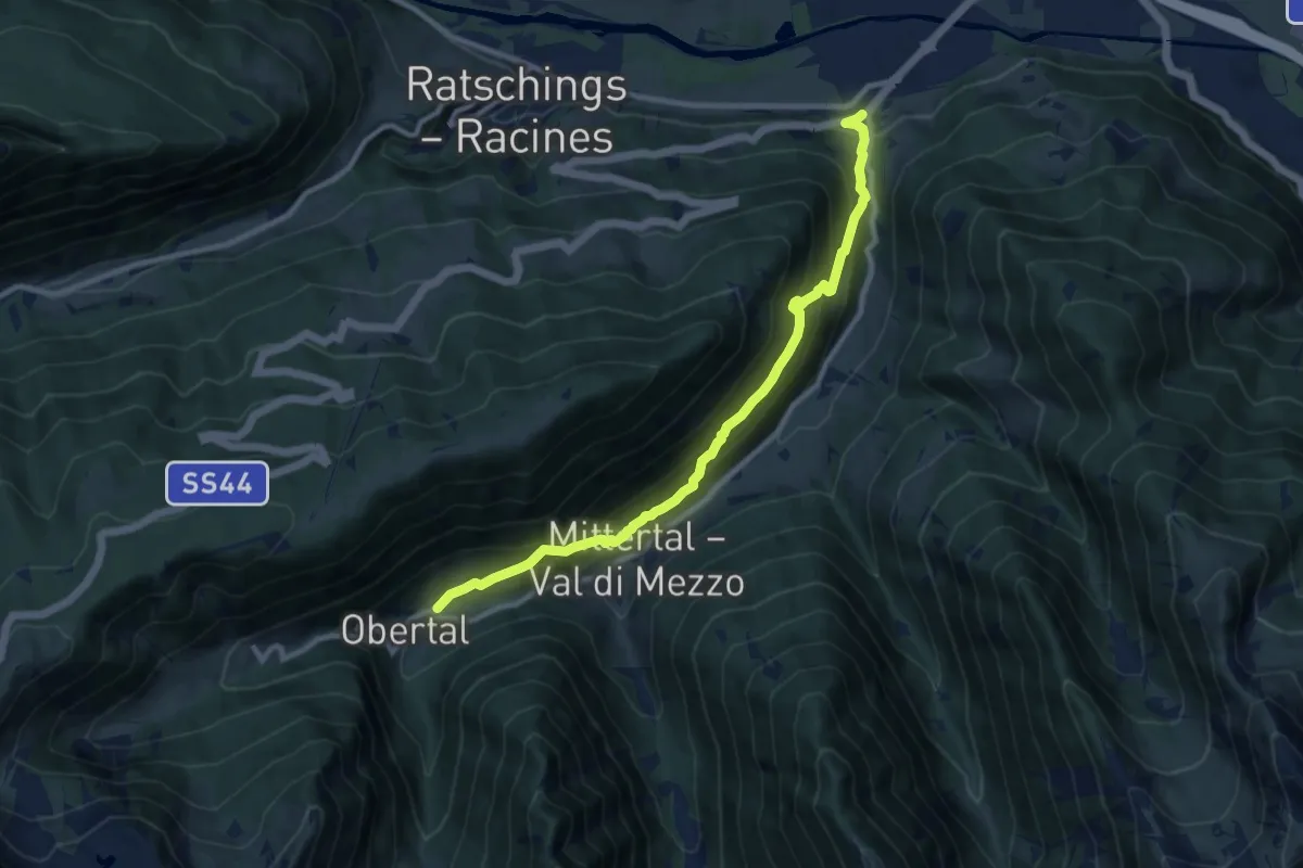
Demanding · Trail
Panoramaweg Jaufental
10.0 km · ↑ 801 m · 4 h 6 min · 3 km away
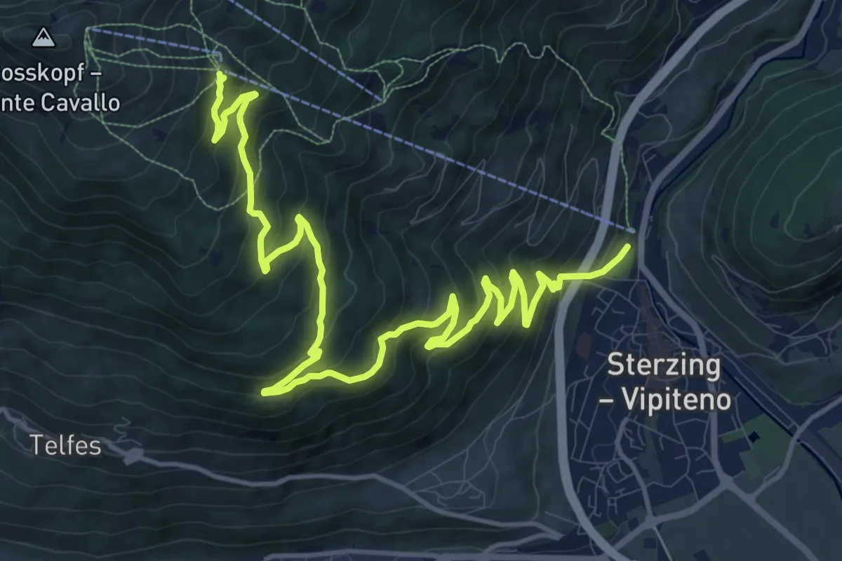
Demanding · Trail
Thuins
16.5 km · ↑ 1015 m · 6 h 5 min · 3 km away
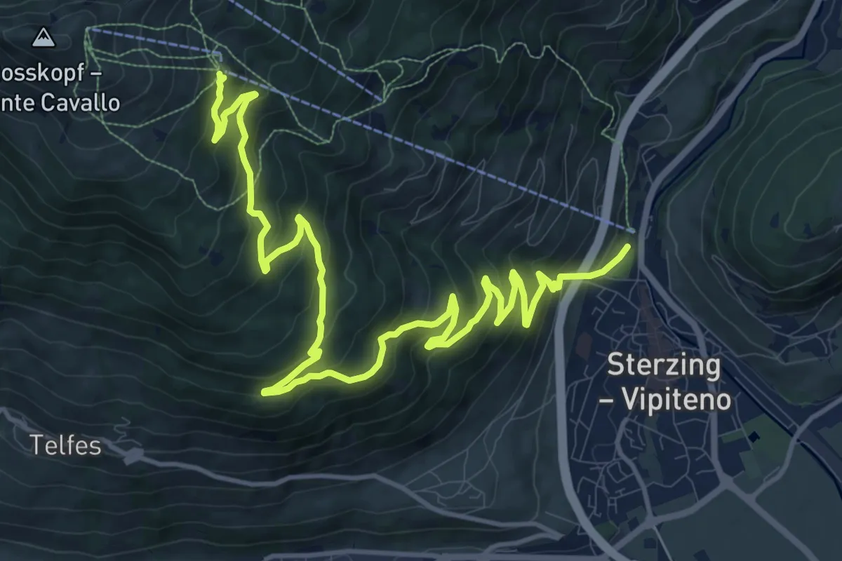
Demanding · Trail
Kirchsteig
16.5 km · ↑ 1015 m · 6 h 5 min · 3 km away
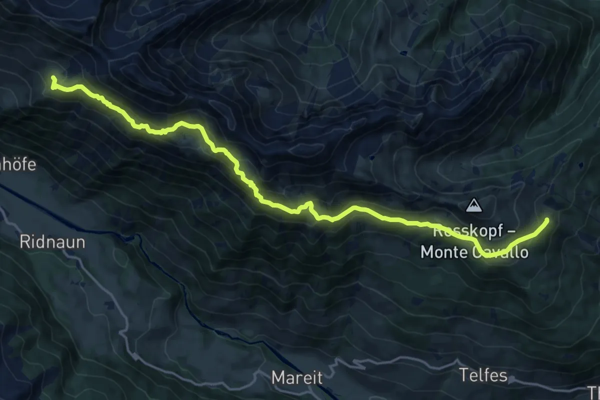
Demanding · Trail
Ridnauner Höhenweg
18.0 km · ↑ 1256 m · 6 h 59 min · 3 km away
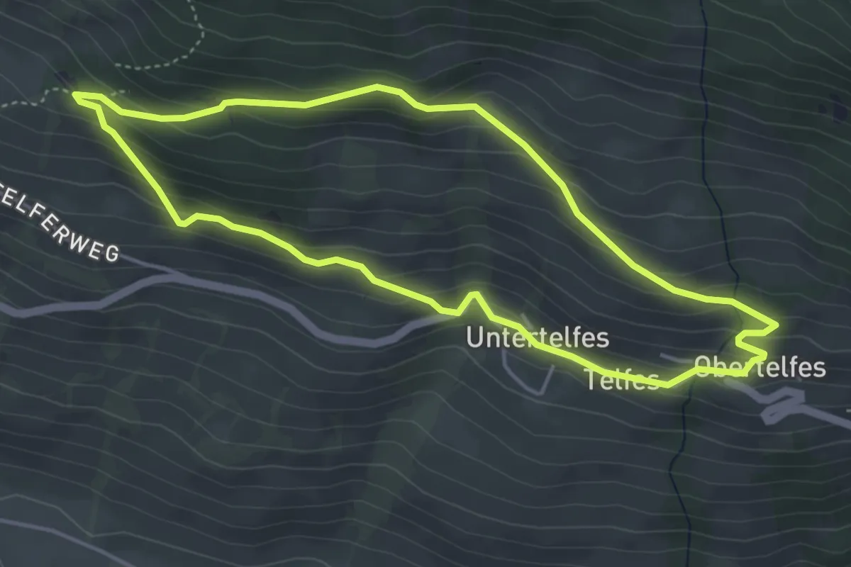
Medium · Trail
Telfer Rundweg
4.3 km · ↑ 266 m · 1 h 39 min · 3 km away
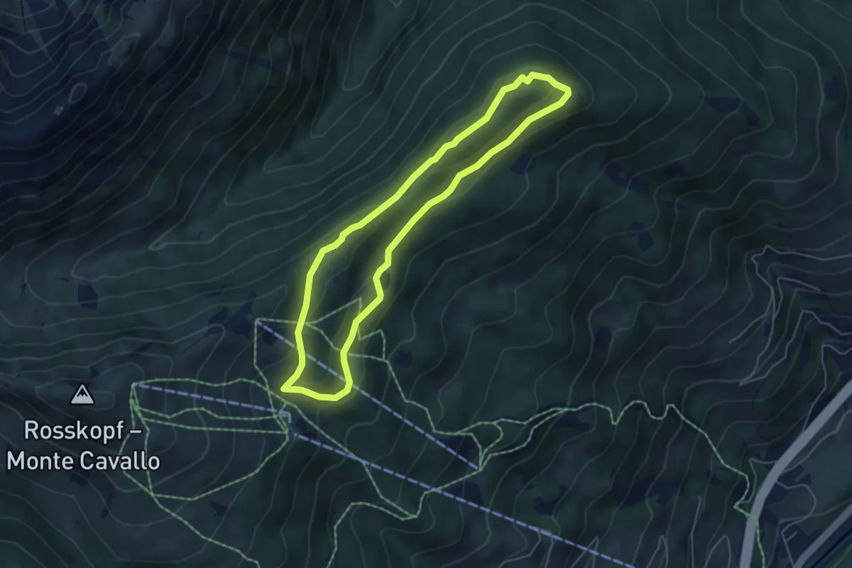
Easy · Summit
Rundweg Flaner Jöchl
4.7 km · ↑ 186 m · 1 h 35 min · 4 km away
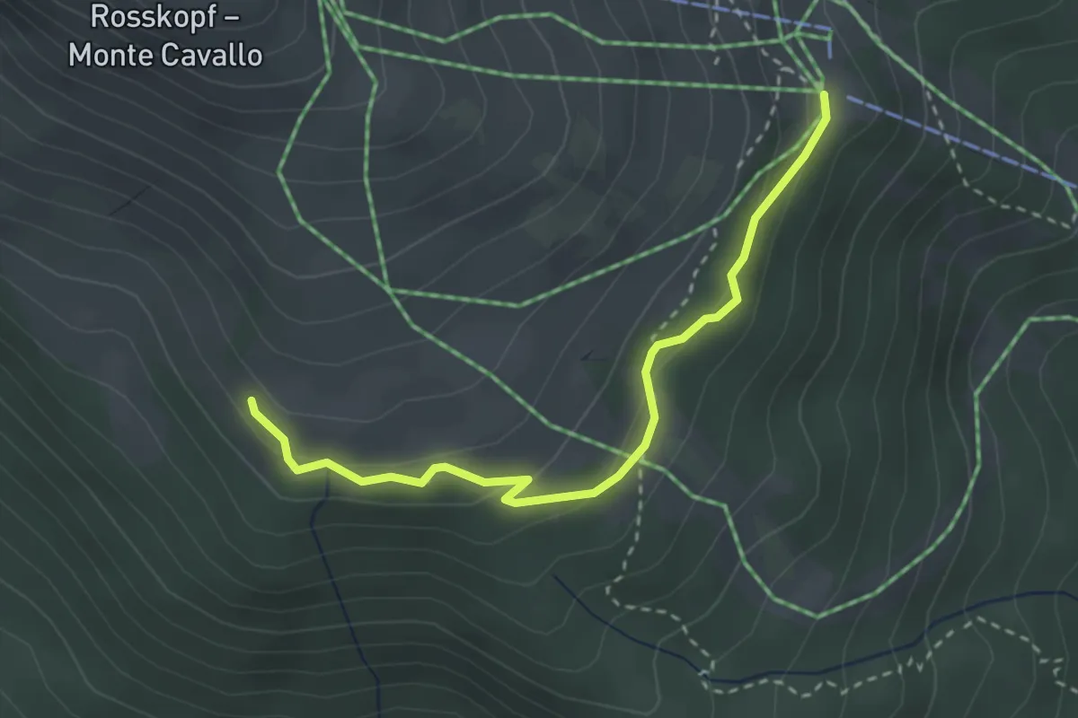
Medium · Trail
Winterwanderweg
3.0 km · ↑ 140 m · 1 h 1 min · 4 km away
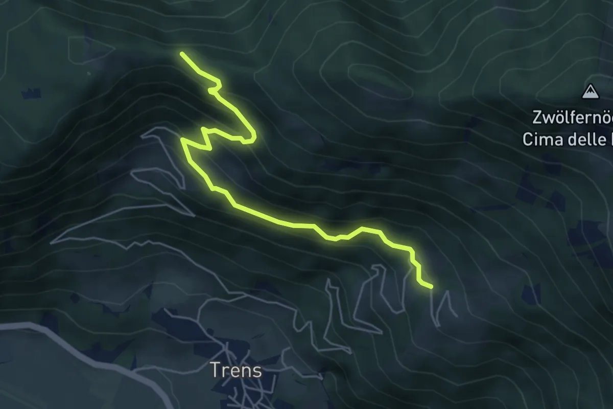
Medium · Trail
Lottersteig
5.3 km · ↑ 410 m · 2 h 8 min · 4 km away
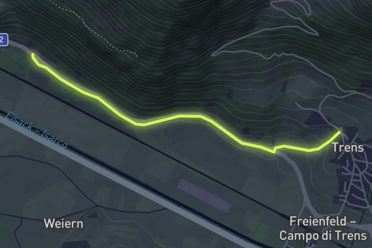
Easy · Trail
Trenser Pilgerweg - Sentiero del pellegrino
4.5 km · ↑ 102 m · 1 h 17 min · 5 km away
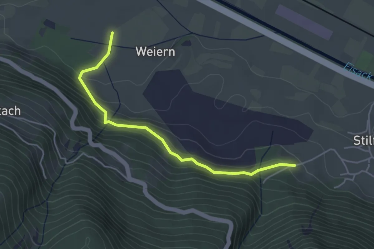
Easy · Trail
Mückensteig
4.0 km · ↑ 201 m · 1 h 22 min · 5 km away
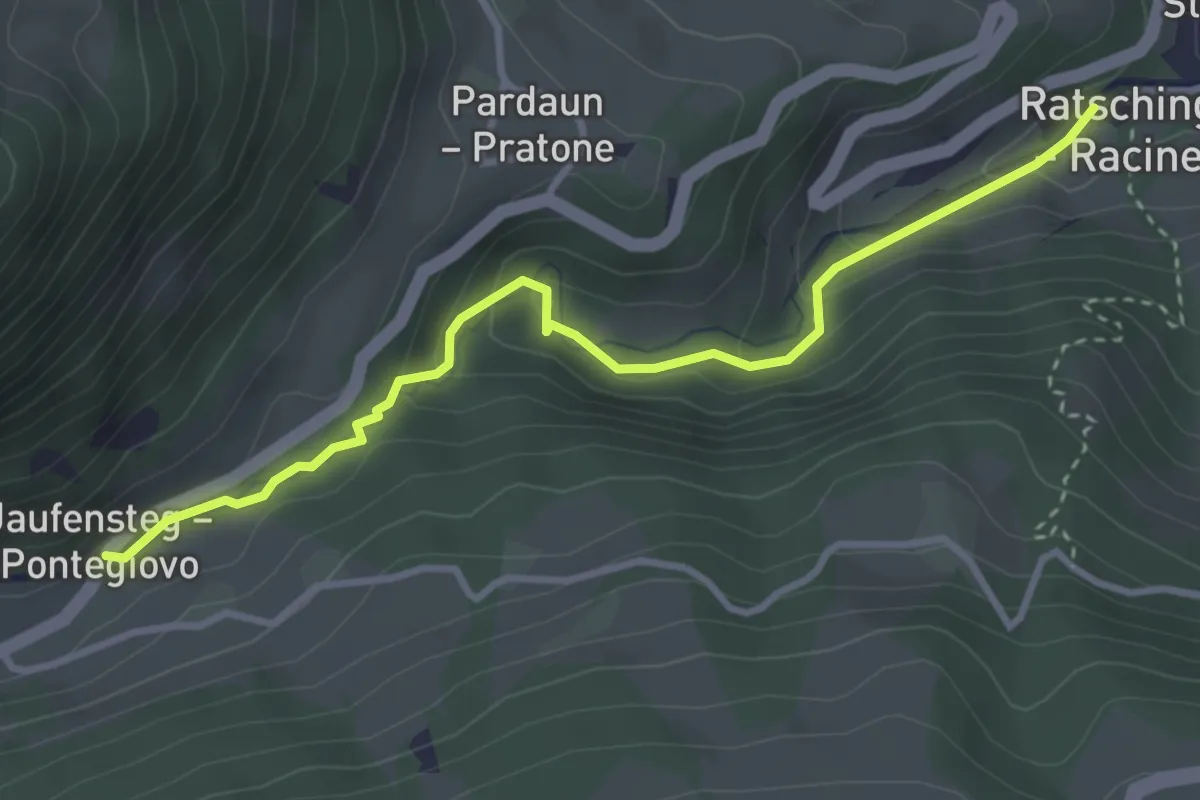
Medium · Trail
Gilfenklamm
3.5 km · ↑ 237 m · 1 h 21 min · 5 km away
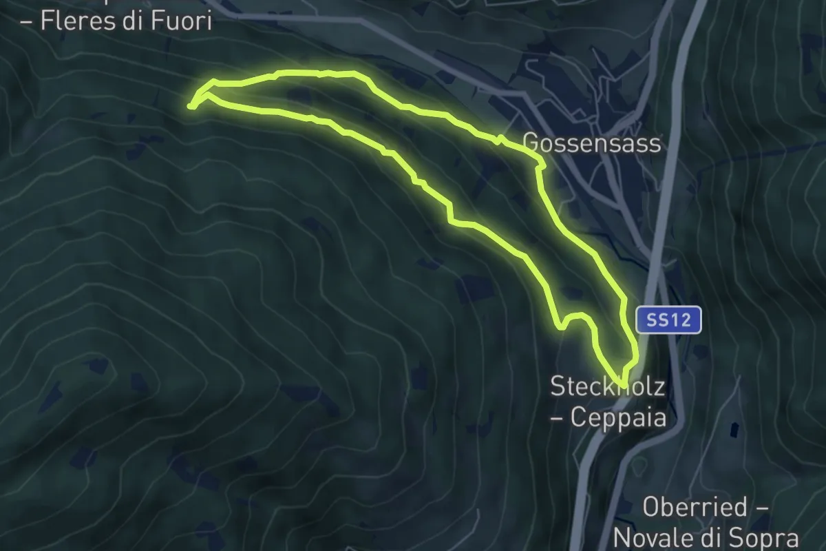
Medium · Trail
R.v.Gottschalk-Weg
5.8 km · ↑ 345 m · 2 h 12 min · 5 km away
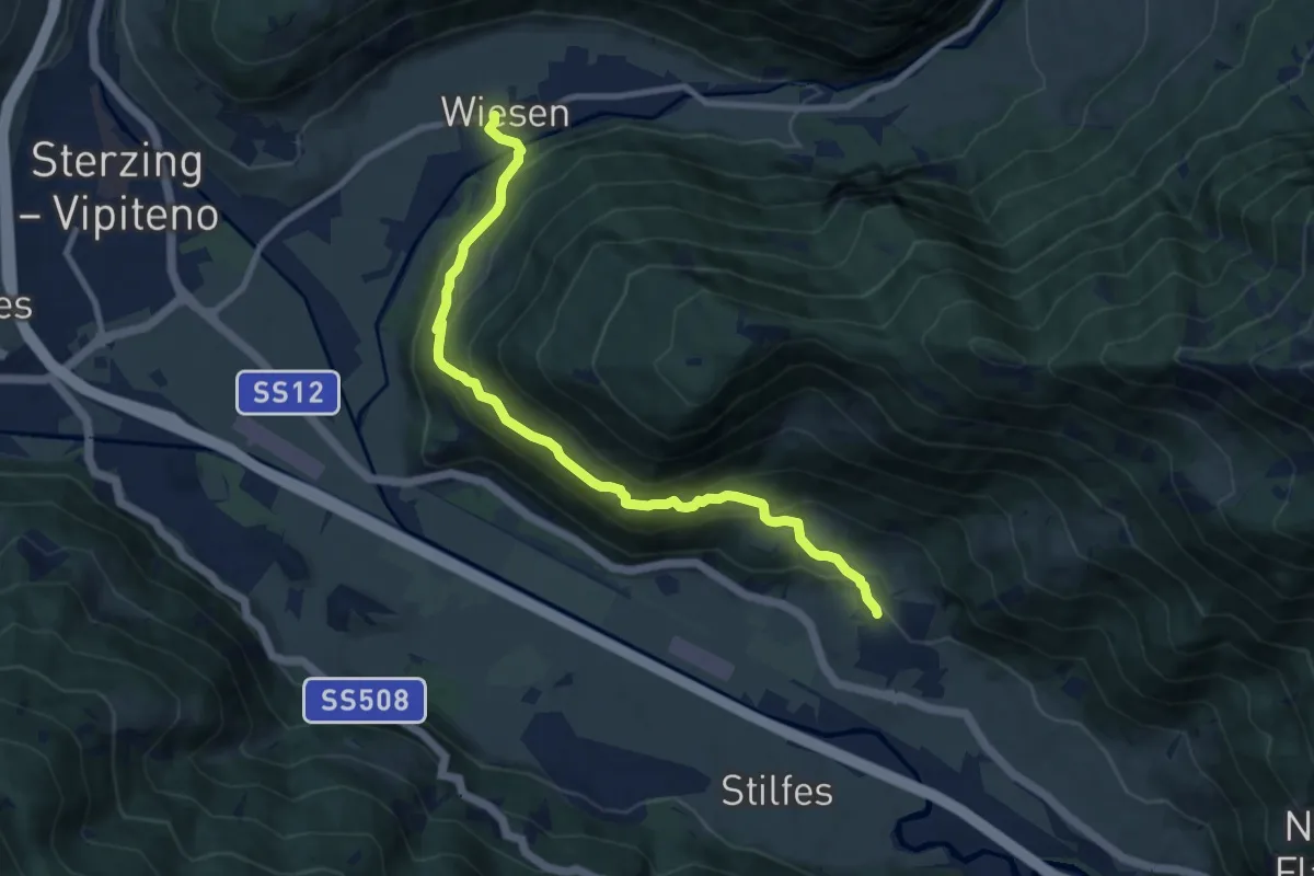
Medium · Trail
Trenser Höhenweg
9.5 km · ↑ 626 m · 3 h 37 min · 5 km away
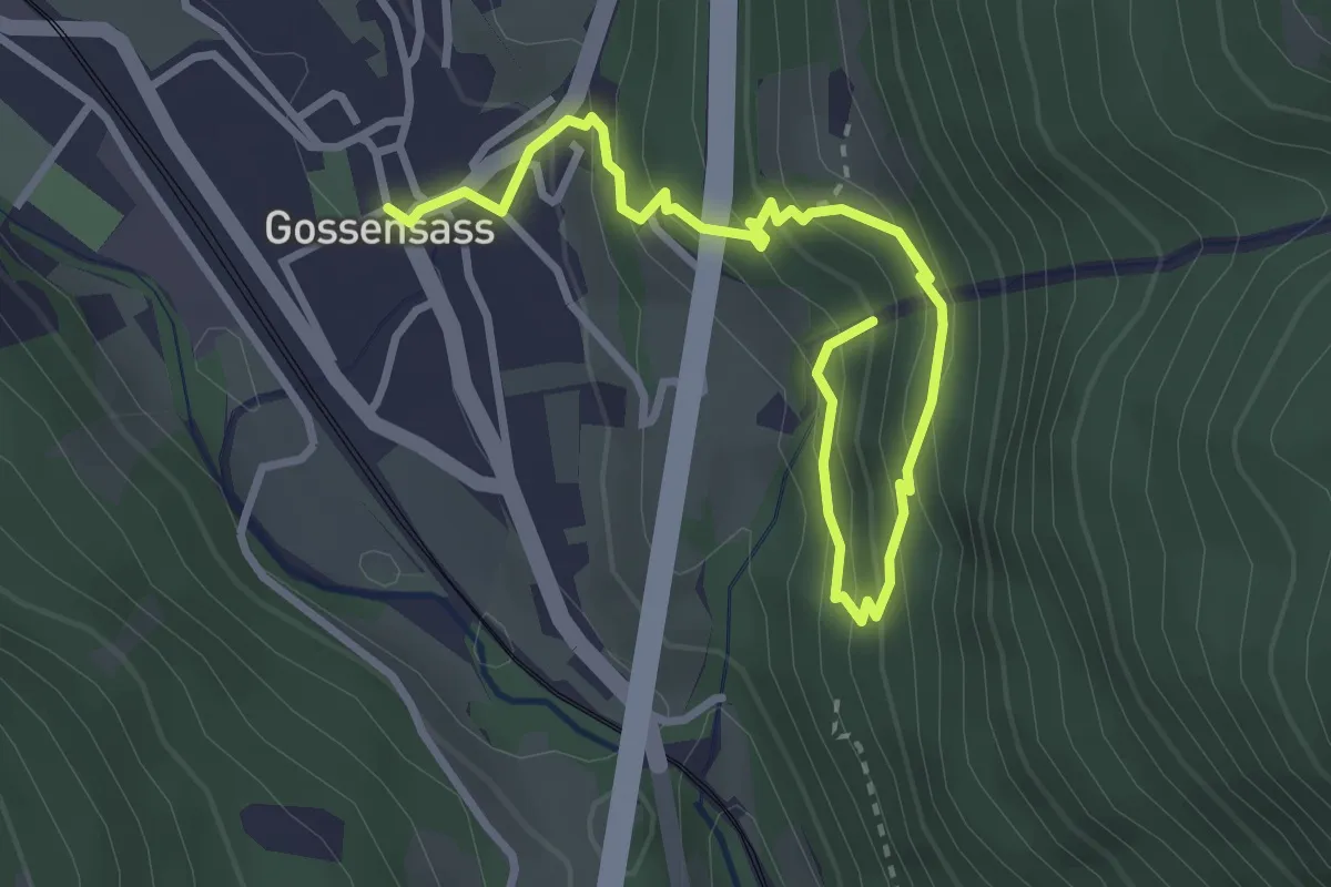
Medium · Trail
Wasserfallweg
3.7 km · ↑ 307 m · 1 h 33 min · 5 km away
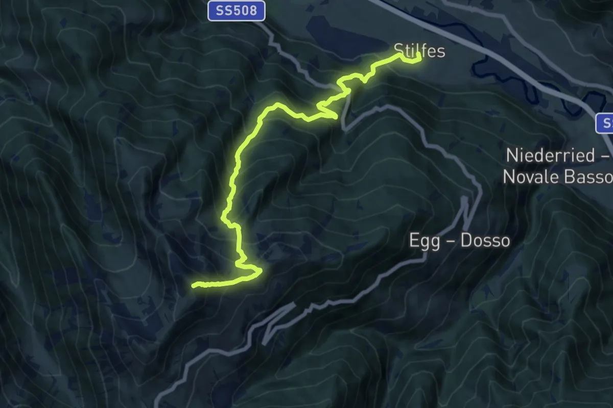
Demanding · Summit
14A - Stilfes => Zinseler
13.4 km · ↑ 1453 m · 6 h 19 min · 5 km away
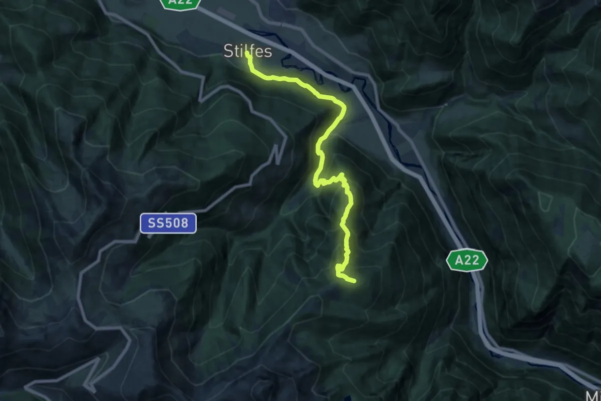
Demanding · Summit
16 - Stilfes => Puntleider Alm
15.3 km · ↑ 1201 m · 6 h 13 min · 5 km away
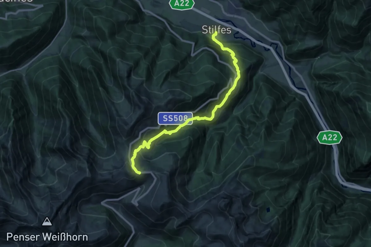
Demanding · Trail
15 - Kirchsteig
19.2 km · ↑ 1459 m · 7 h 42 min · 5 km away
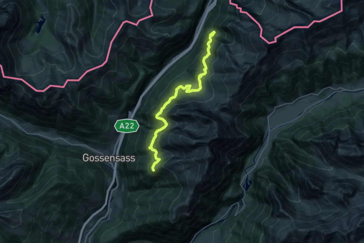
Demanding · Trail
Ziroger Höhenweg
21.0 km · ↑ 1216 m · 7 h 36 min · 5 km away
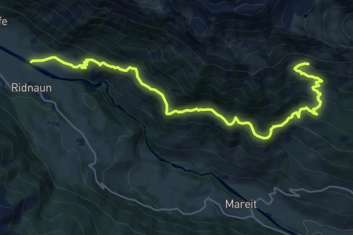
Demanding · Trail
Unterer Ridnauner Höhenweg
16.3 km · ↑ 1282 m · 6 h 37 min · 5 km away
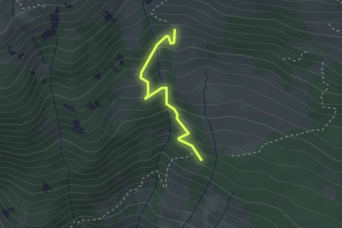
Demanding · Trail
Knappenweg
2.0 km · ↑ 238 m · 1 h · 5 km away
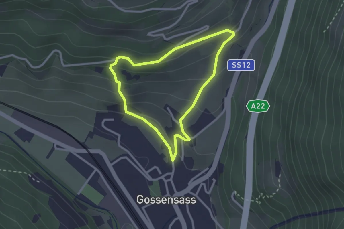
Easy · Trail
H.-Ibsen-Weg
2.0 km · ↑ 139 m · 49 min · 6 km away
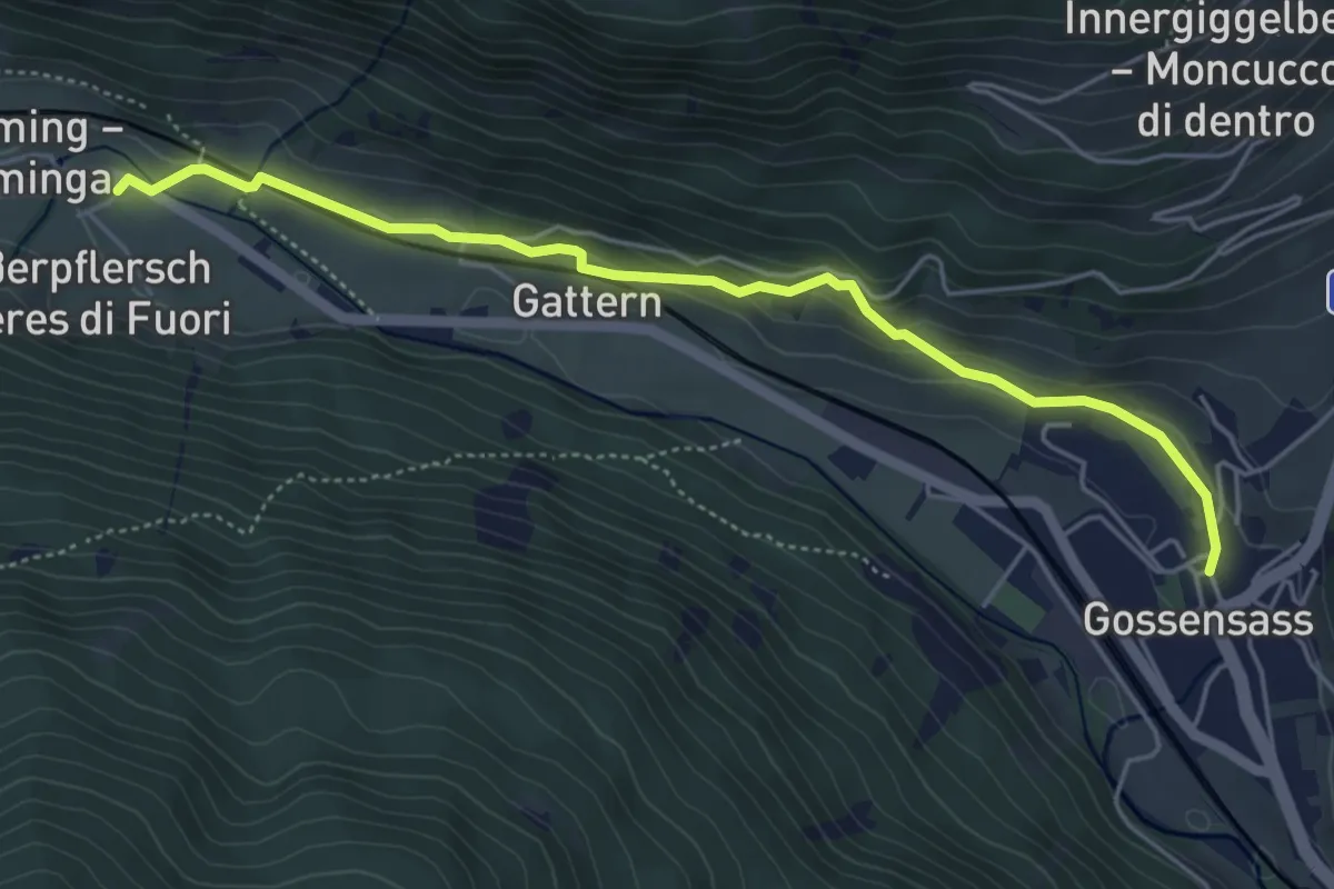
Easy · Trail
Besinnungsweg
5.1 km · ↑ 178 m · 1 h 35 min · 6 km away
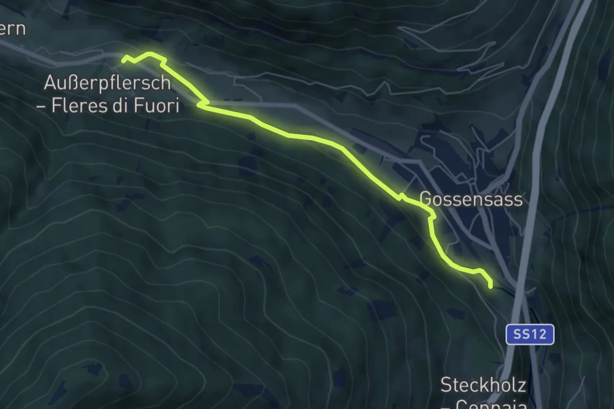
Easy · Trail
Uferpromenade - Lungofiume
6.0 km · ↑ 101 m · 1 h 39 min · 6 km away
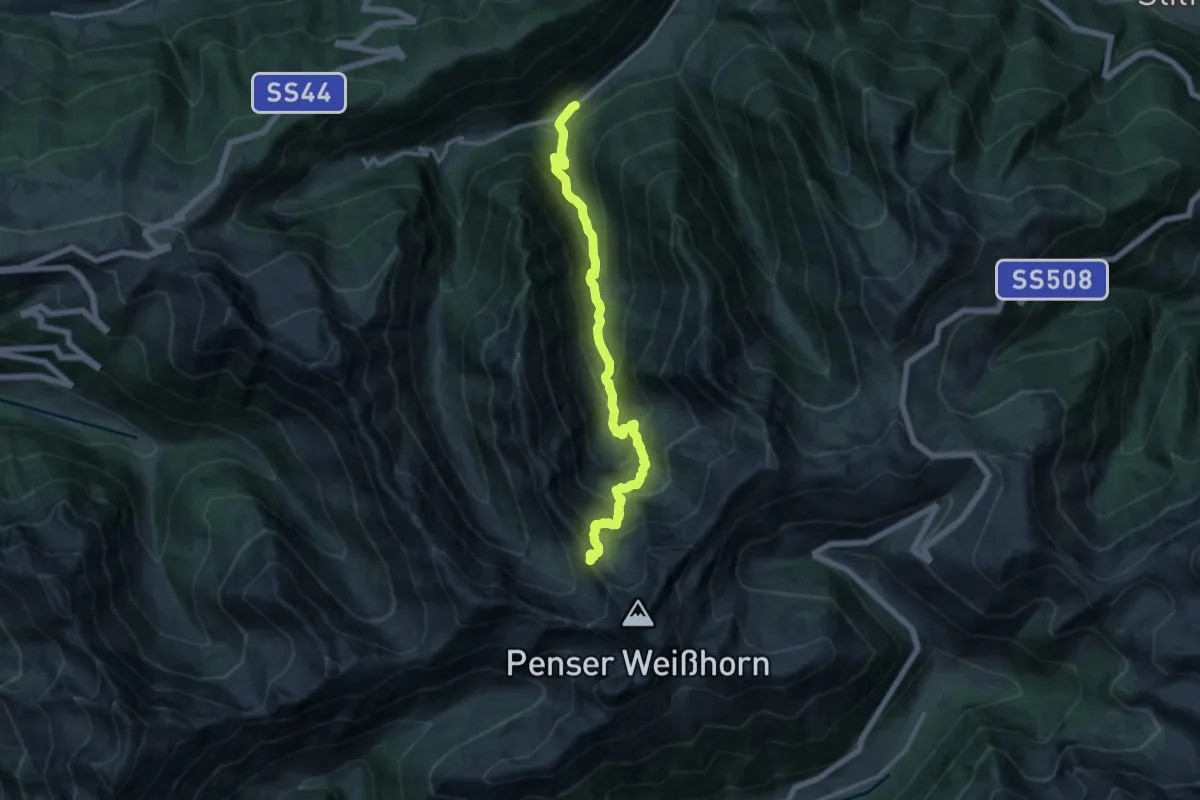
Demanding · Summit
13 - Mittertal =>
14.3 km · ↑ 1178 m · 5 h 56 min · 6 km away
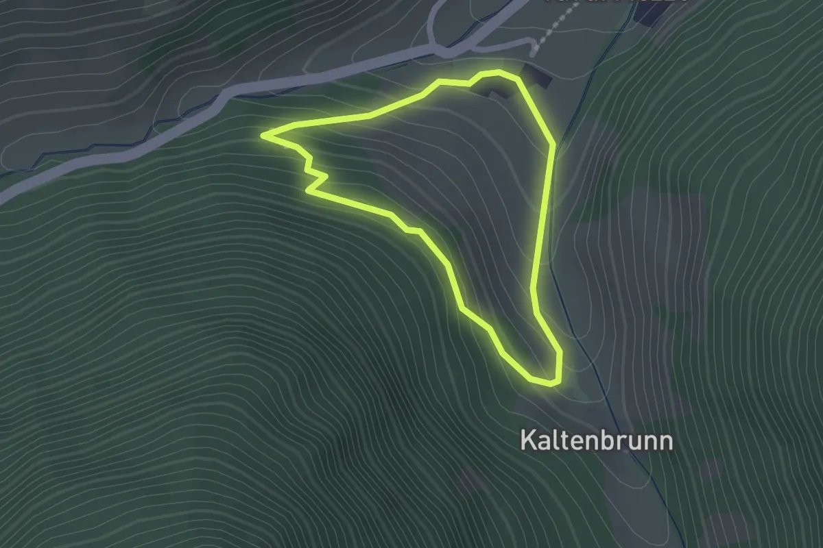
Easy · Trail
Rundweg Brigl
1.6 km · ↑ 92 m · 36 min · 6 km away
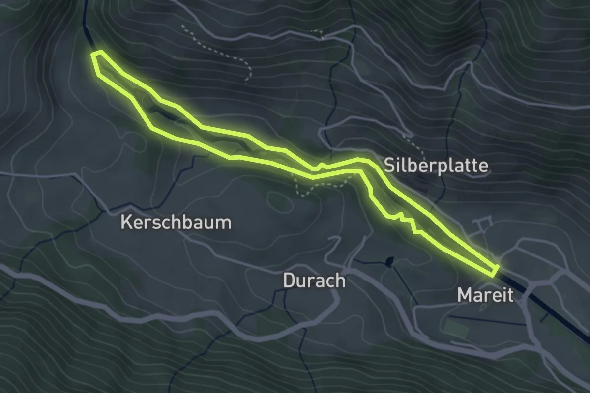
Easy · Trail
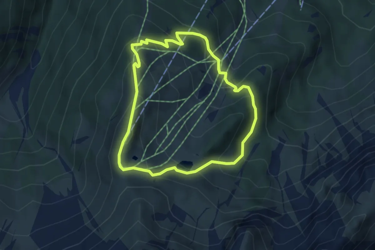
Rundweg Mareit
3.9 km · ↑ 133 m · 1 h 16 min · 6 km away
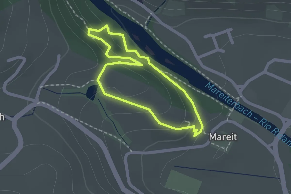
Medium · Trail
Ladurnser Rundweg
3.8 km · ↑ 303 m · 1 h 37 min · 6 km away
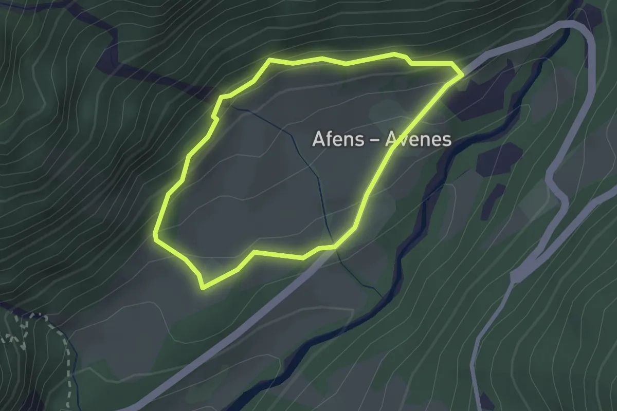
Easy · Trail
Naturlehrpfad
1.3 km · ↑ 38 m · 24 min · 6 km away
Easy · Trail
Rundweg Afens
2.0 km · ↑ 145 m · 49 min · 7 km away
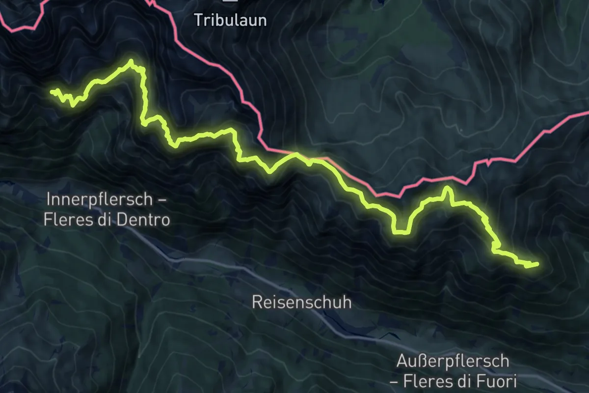
Expert · Trail
Pflerscher Höhenweg - Alta Via di Fleres
11.3 km · ↑ 1200 m · 5 h 18 min · 7 km away
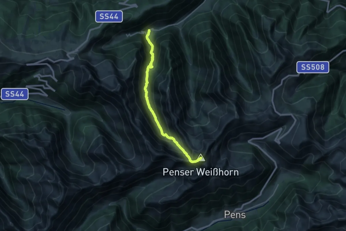
Demanding · Summit
12A - Obertal => Sarner Weißhorn => Penser Joch
15.3 km · ↑ 1376 m · 6 h 36 min · 7 km away
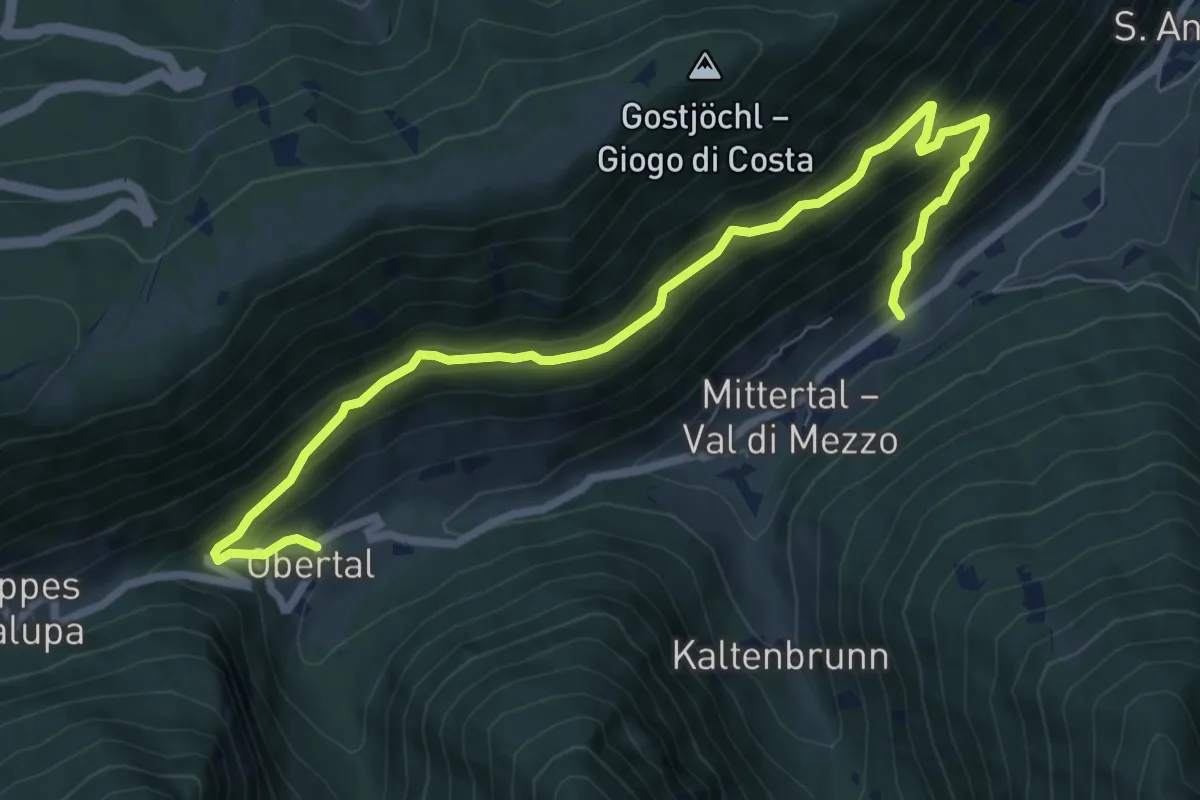
Medium · Trail
Oberer Panoramaweg
8.4 km · ↑ 718 m · 3 h 33 min · 7 km away
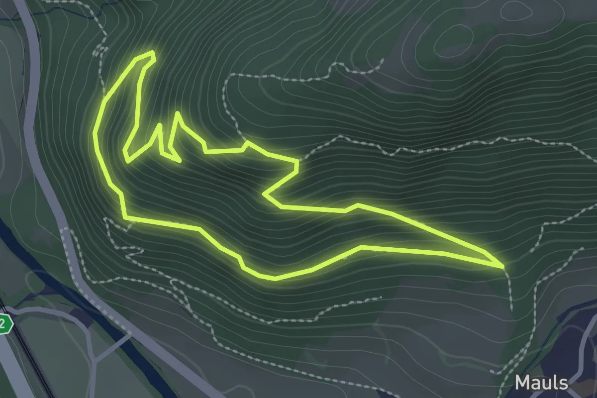
Easy · Trail
Leitenrundweg
2.5 km · ↑ 229 m · 1 h 7 min · 7 km away
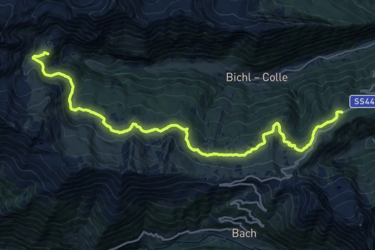
Demanding · Summit
Ratschinger Almenweg
26.6 km · ↑ 945 m · 8 h 20 min · 8 km away
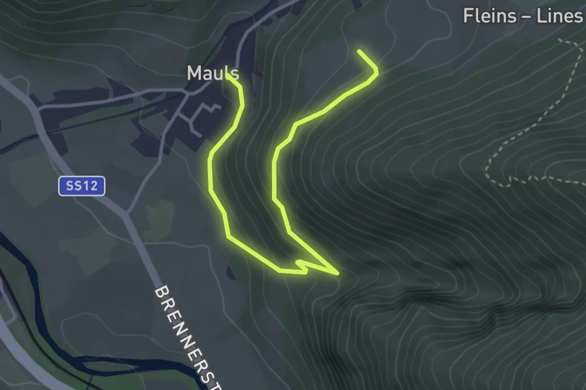
Easy · Trail
Romedisteig
3.7 km · ↑ 242 m · 1 h 24 min · 8 km away
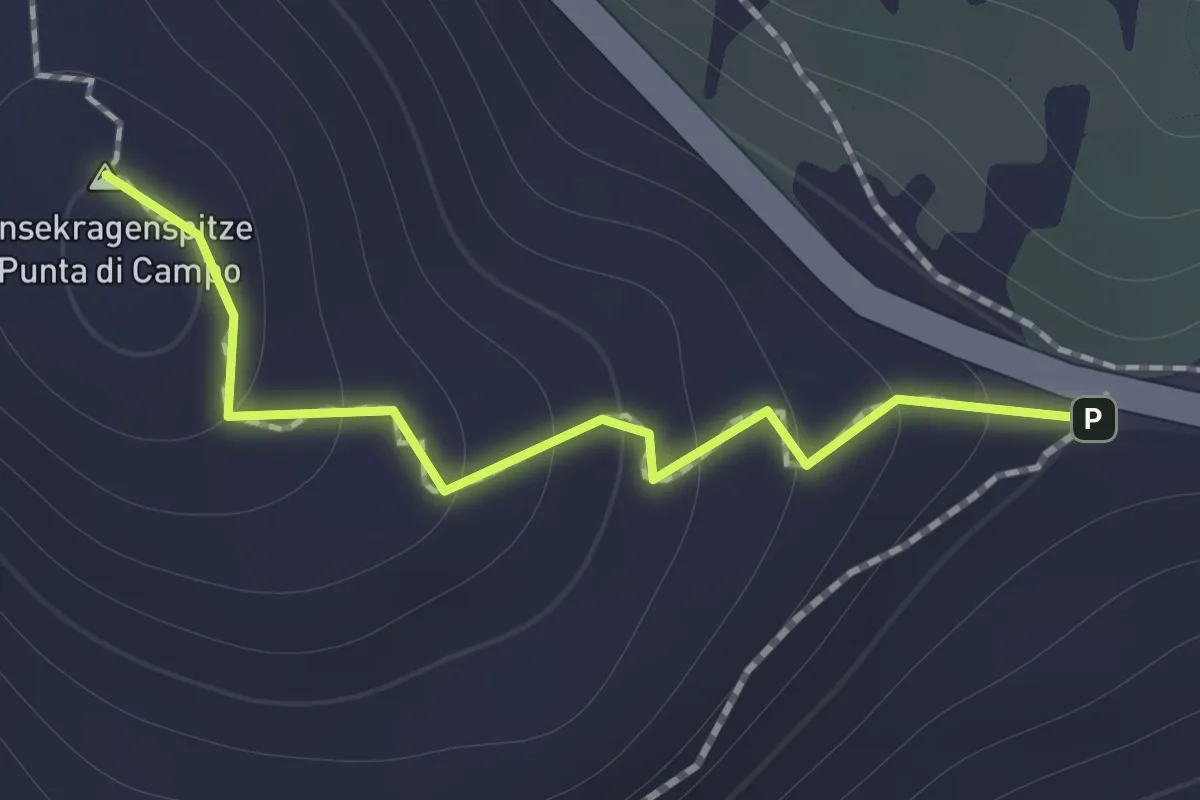
Medium · Summit
Gänsekragen
1.0 km · ↑ 94 m · 27 min · 9 km away
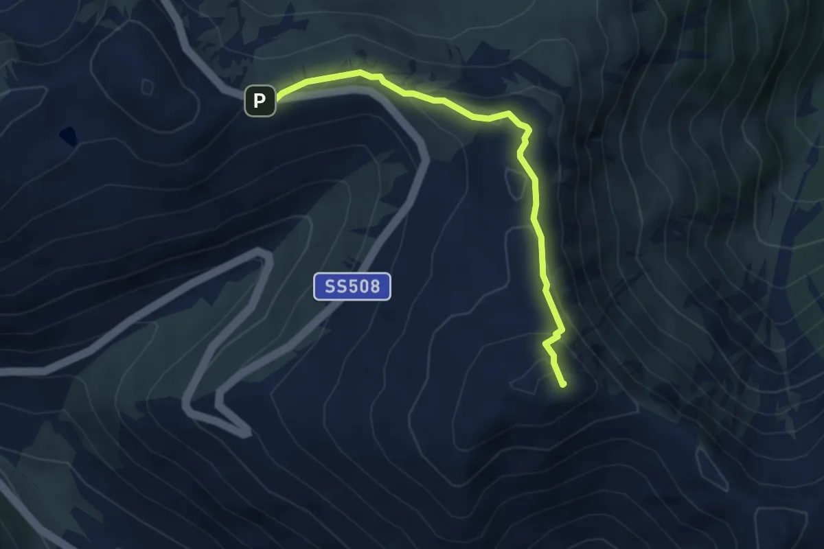
Medium · Summit
AVS 14B - Penser Joch - Astenberg
4.2 km · ↑ 183 m · 1 h 24 min · 9 km away
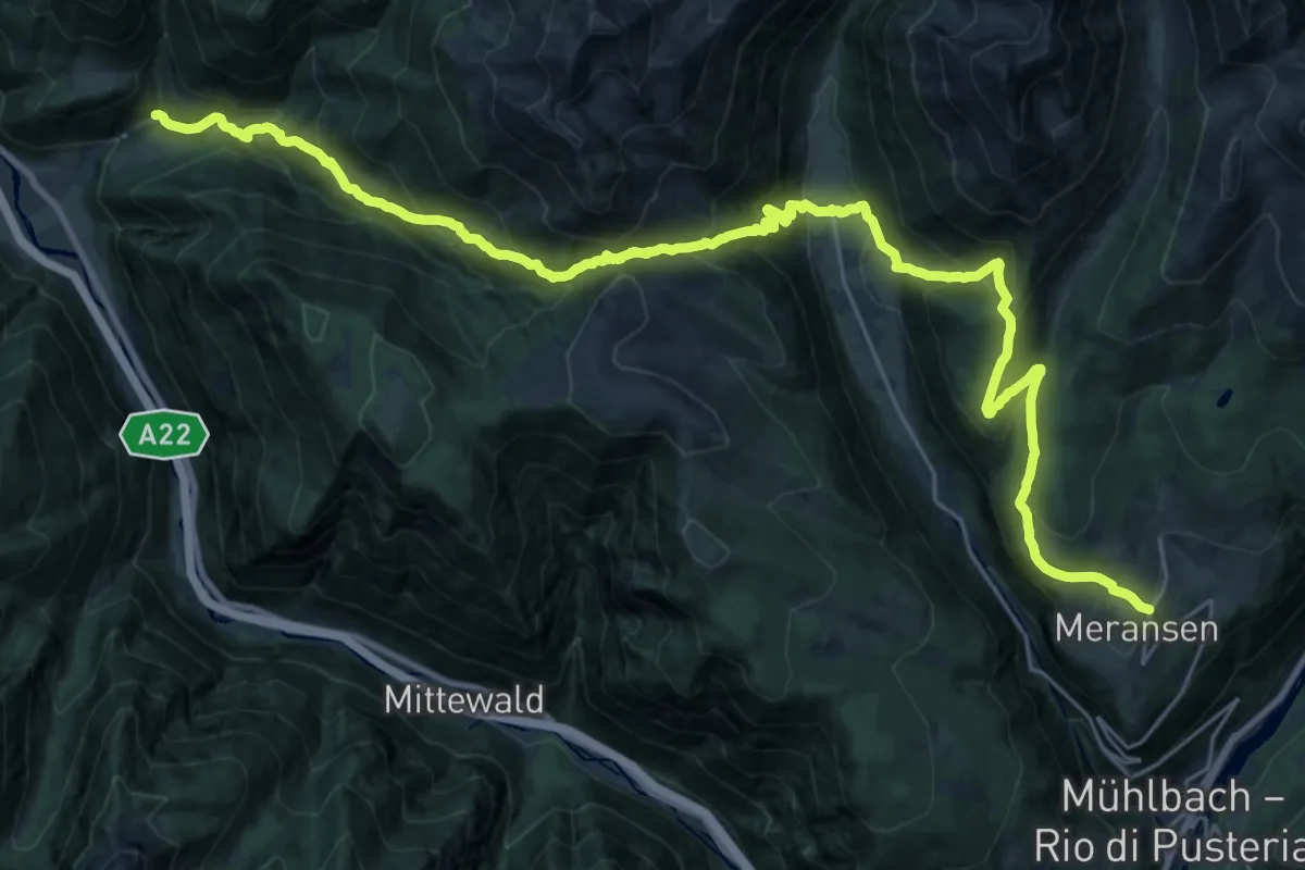
Demanding · Trail
10 - => Meransen
16.8 km · ↑ 1360 m · 6 h 57 min · 9 km away
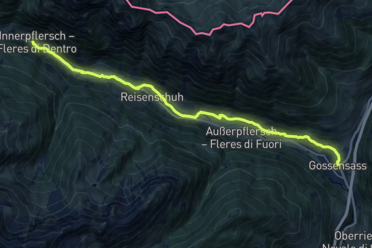
Medium · Trail
Talweg
17.1 km · ↑ 392 m · 4 h 53 min · 10 km away
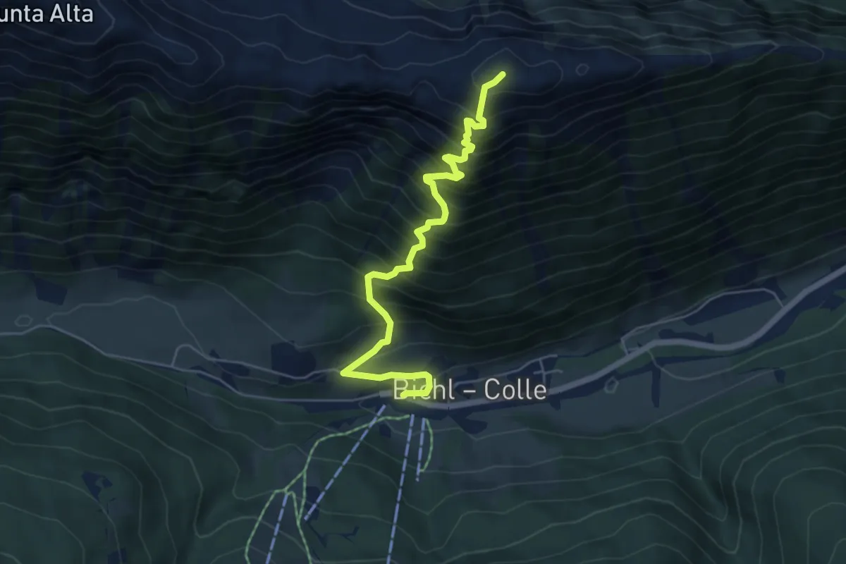
Demanding · Trail
Ratschings - Racines – Mareiter Stein - Sasso Mareta
5.5 km · ↑ 902 m · 3 h 16 min · 10 km away
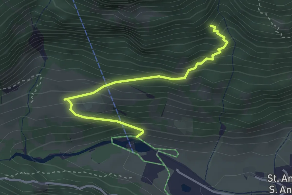
Demanding · Trail
Zum Klettersteig
3.0 km · ↑ 369 m · 1 h 30 min · 11 km away