Trails near Stezzano
71 hikes starting within 15 km, nearest first.
Nearest first, page 2 of 2
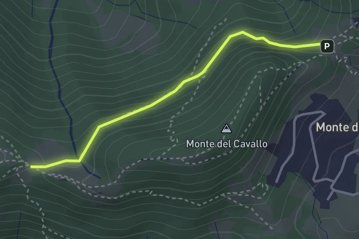
Easy · Trail
Canto Basso – Forcella di Monte di Nese
2.7 km · ↑ 240 m · 1 h 10 min · 14 km away
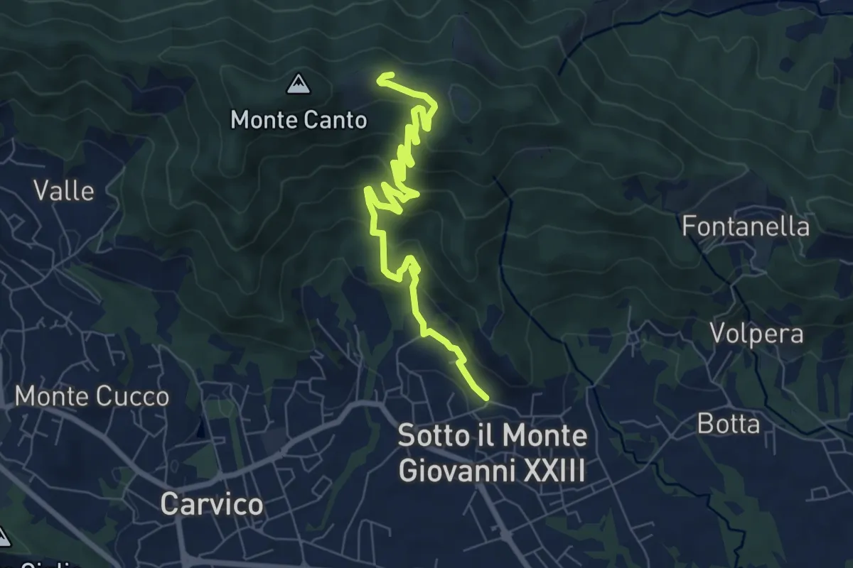
Medium · Trail
Sotto il Monte – Monte Canto (incrocio 891)
7.8 km · ↑ 458 m · 2 h 50 min · 14 km away
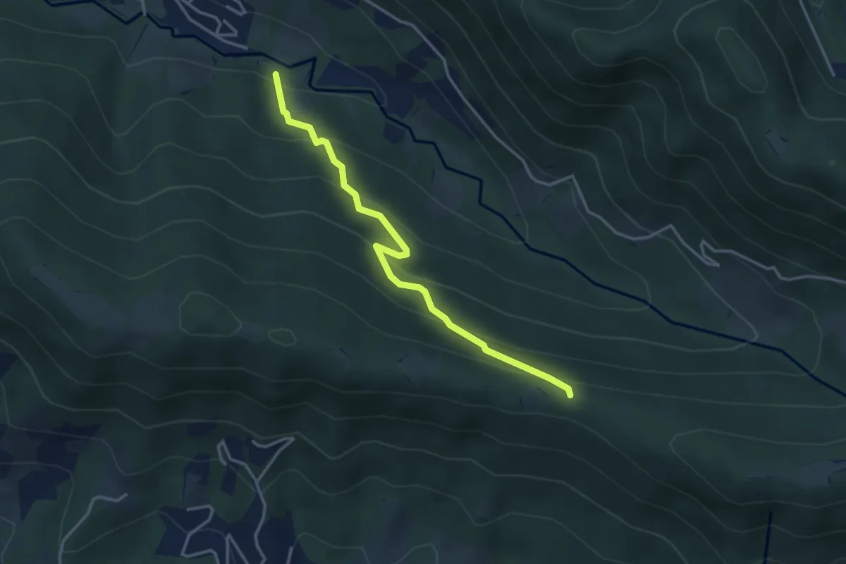
Easy · Trail
Cornale (Pradalunga) – Roccolo delle Pozzette (incrocio 539A)
3.6 km · ↑ 276 m · 1 h 26 min · 14 km away
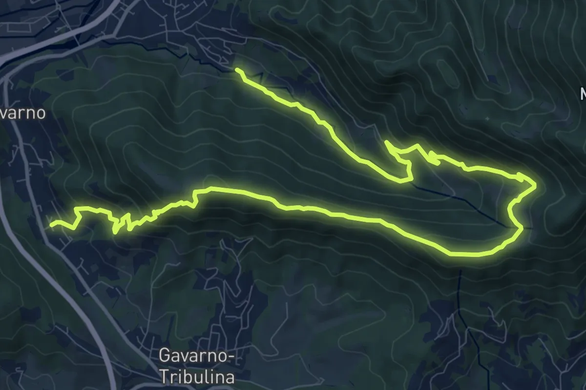
Demanding · Trail
Cornale (Pradalunga) – Gavarno
17.1 km · ↑ 933 m · 6 h 4 min · 14 km away
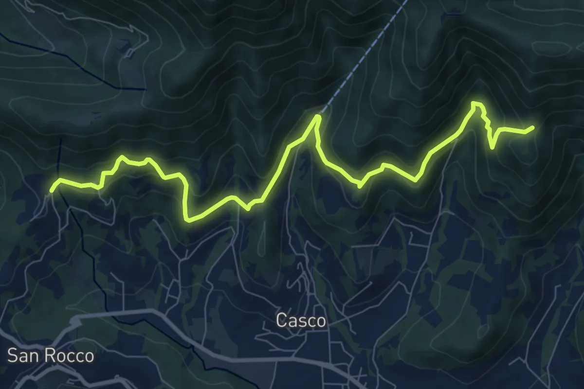
Medium · Trail
Sentiero Verde
10.0 km · ↑ 617 m · 3 h 42 min · 14 km away
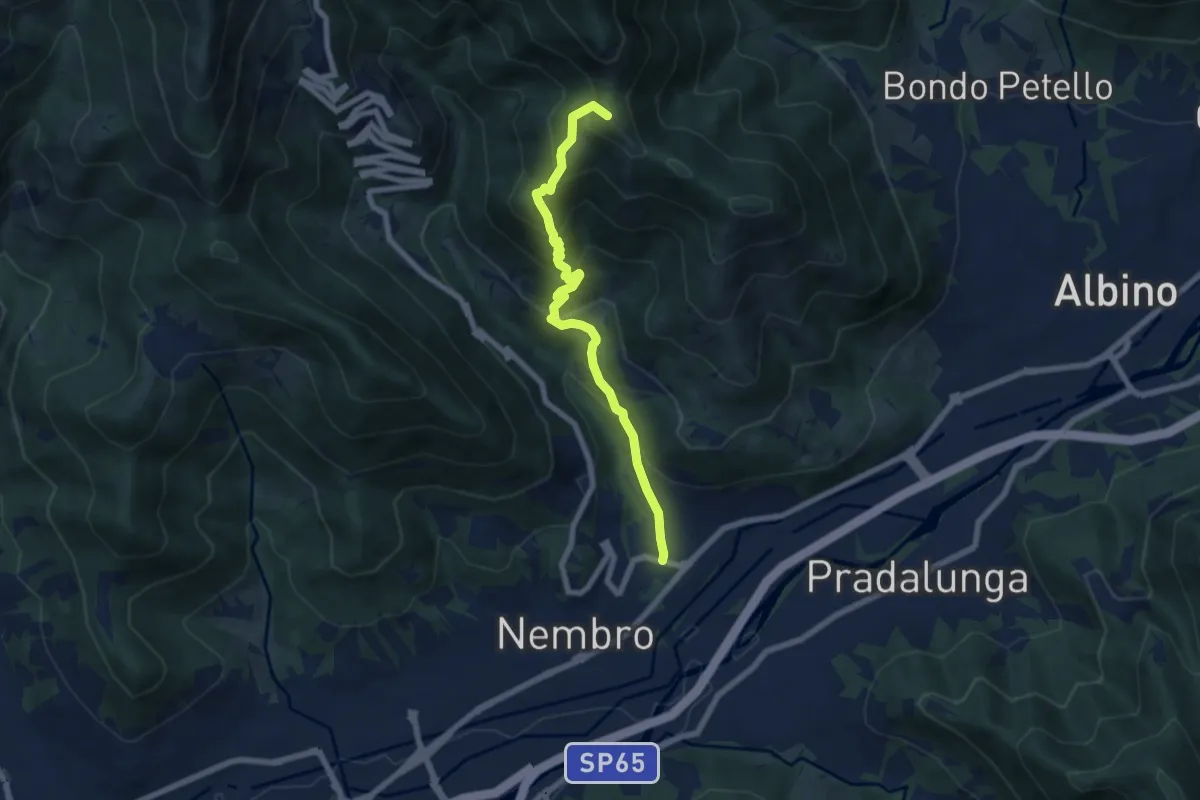
Medium · Summit
Trevasco (Nembro) – Selvino
6.8 km · ↑ 603 m · 2 h 55 min · 14 km away
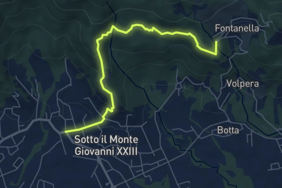
Easy · Trail
Sotto il Monte – Fontanella (incrocio 892)
5.8 km · ↑ 311 m · 2 h 3 min · 14 km away
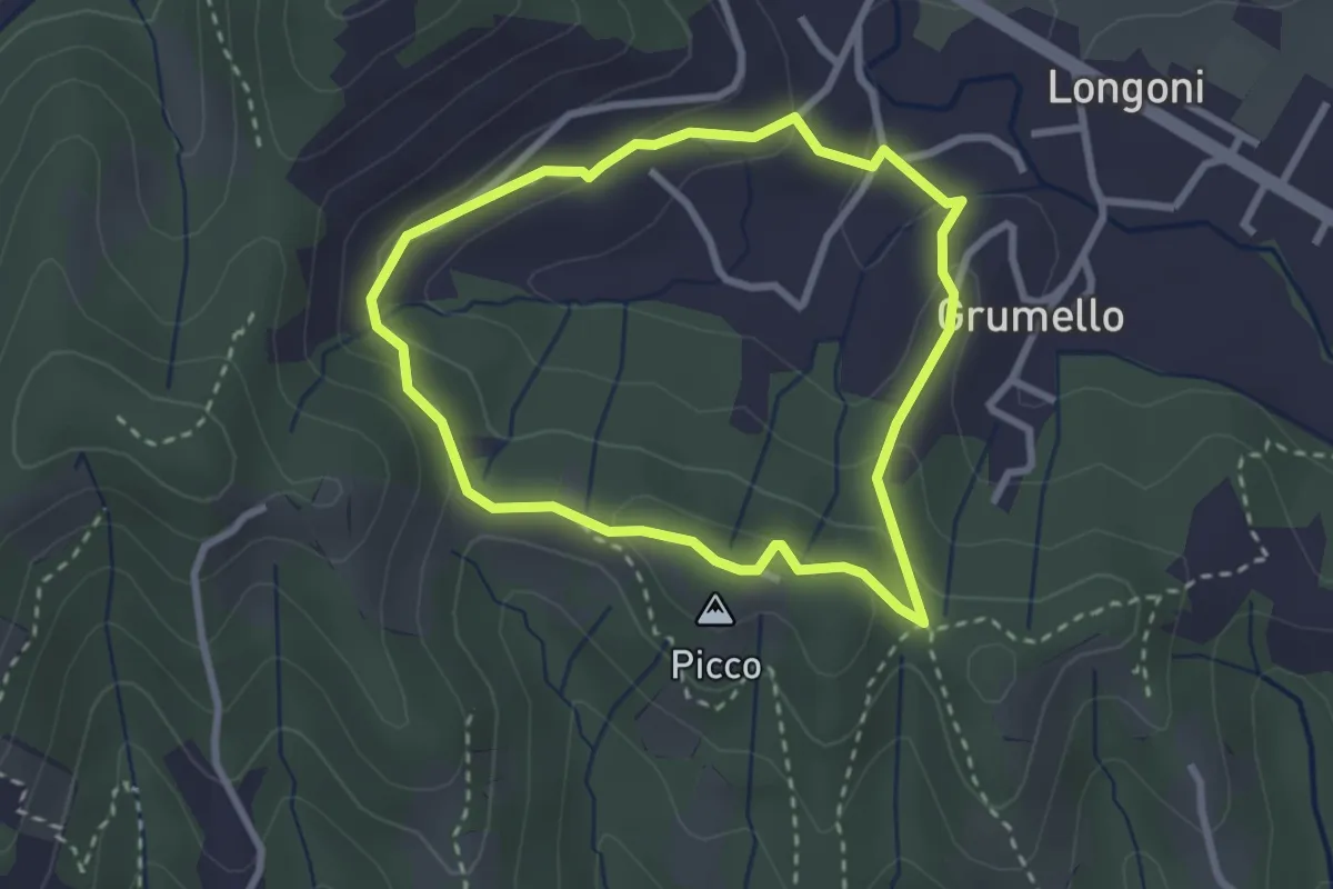
Easy · Summit
I dintorni di Brocchione
2.5 km · ↑ 93 m · 50 min · 14 km away
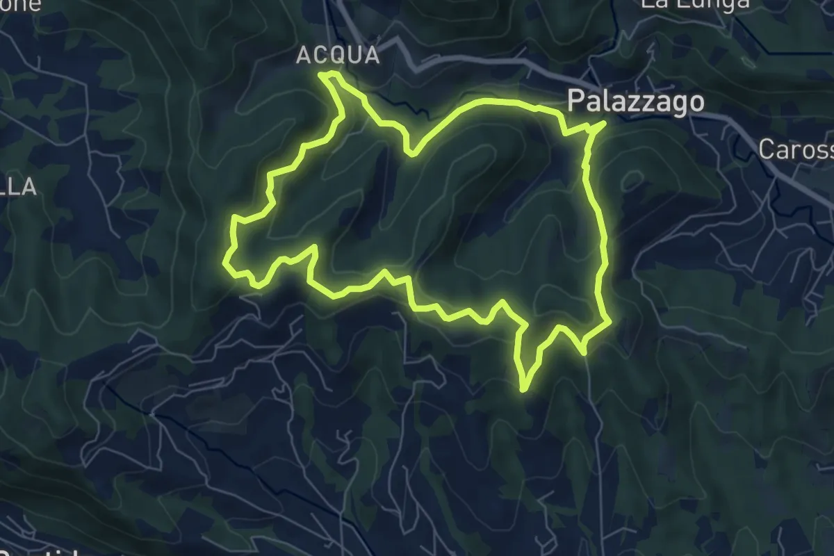
Medium · Summit
Percorso dei Pradéi
7.3 km · ↑ 344 m · 2 h 34 min · 14 km away
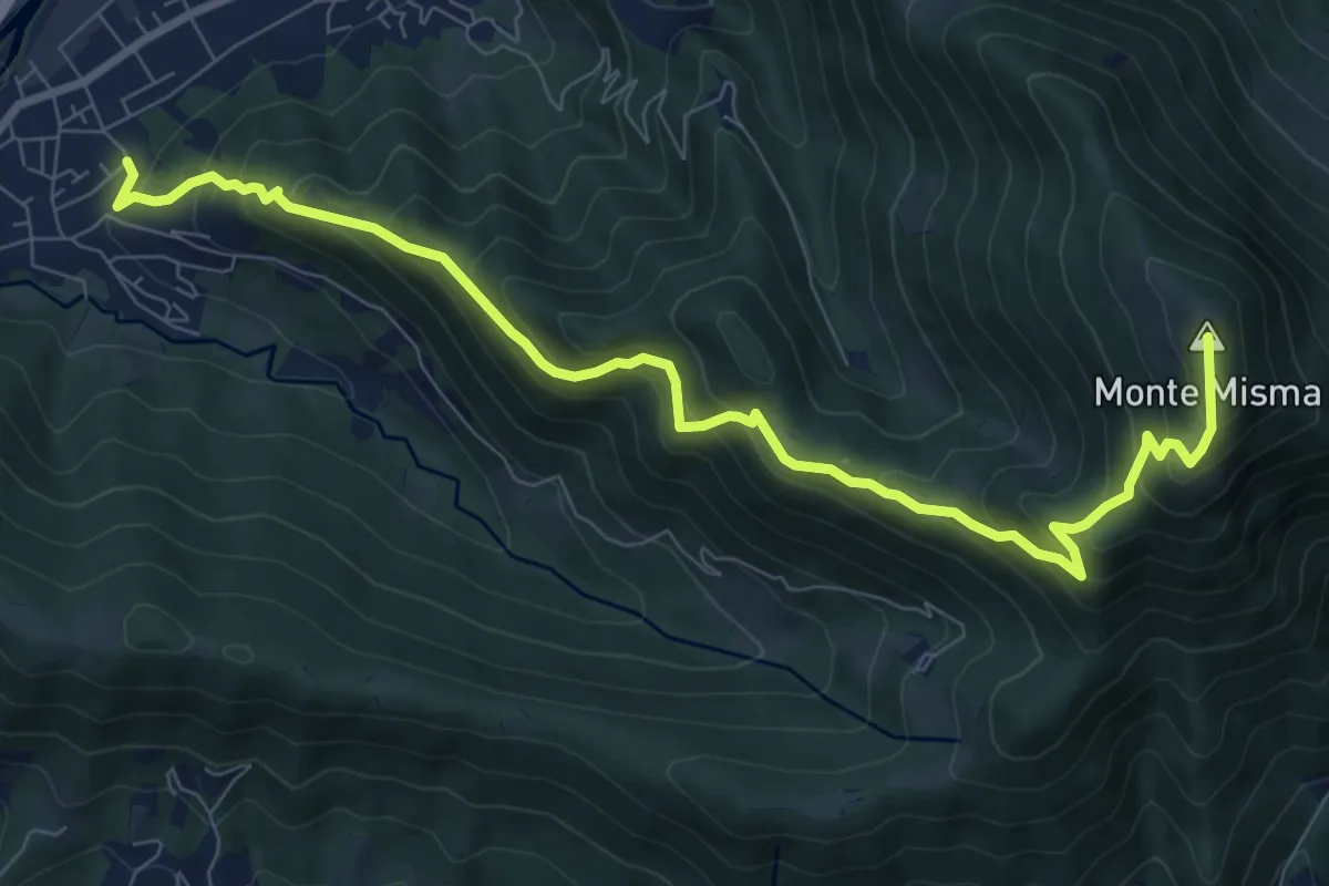
Demanding · Summit
Cornale – Monte Misma
9.9 km · ↑ 853 m · 4 h 11 min · 14 km away
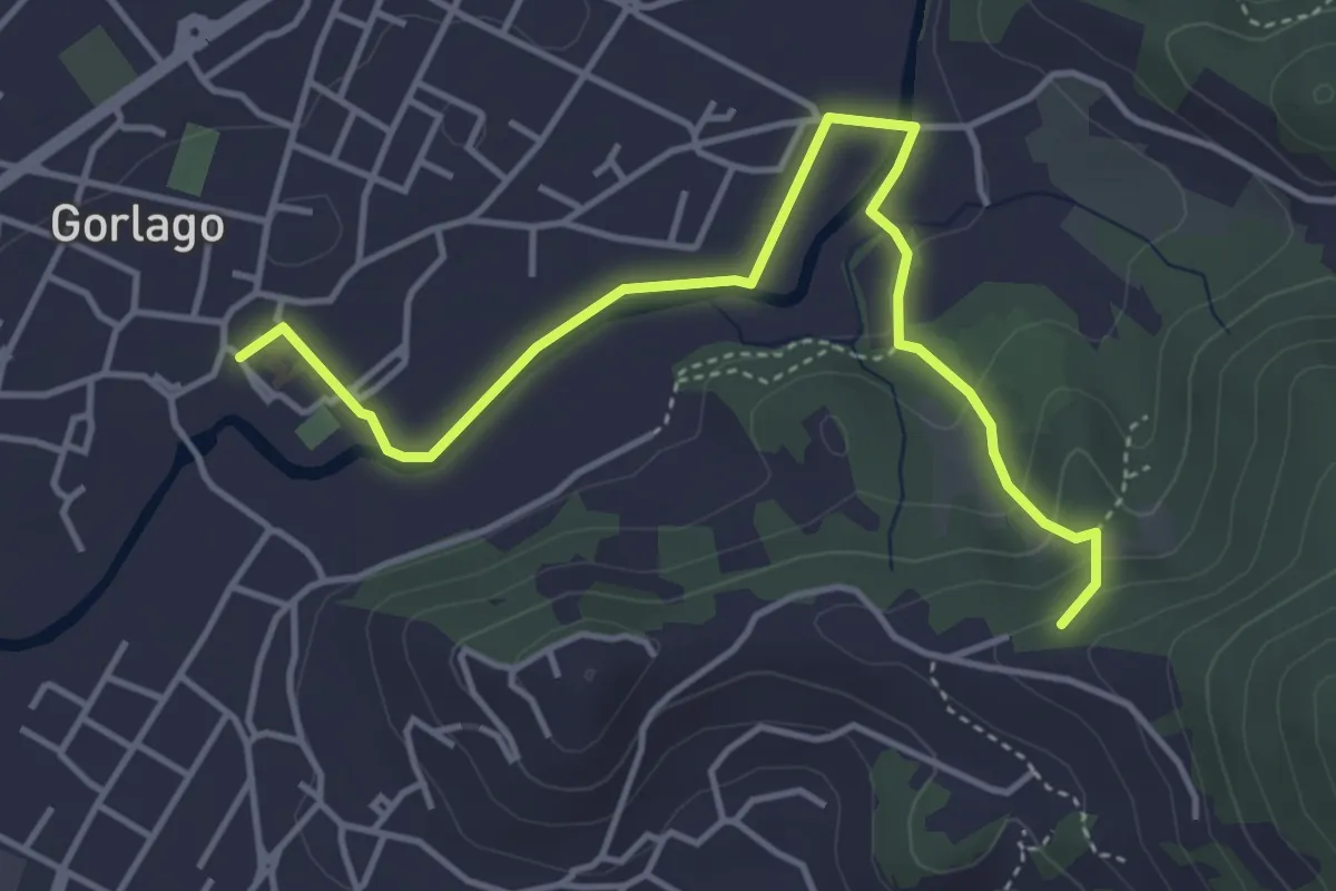
Easy · Trail
Gorlago – Incrocio 650
4.7 km · ↑ 115 m · 1 h 22 min · 14 km away
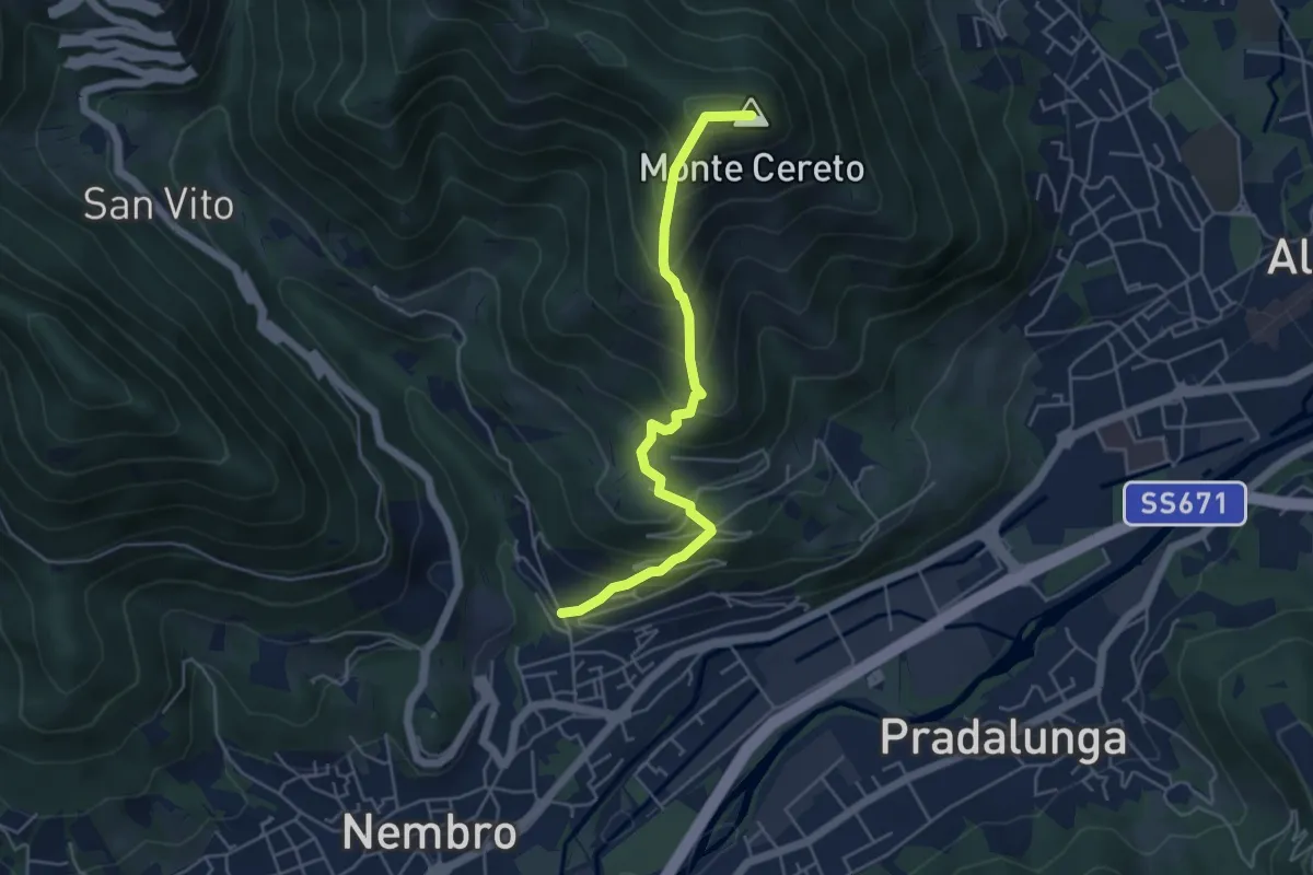
Medium · Summit
Trevasco (Nembro) – Monte Cereto
4.8 km · ↑ 563 m · 2 h 21 min · 14 km away
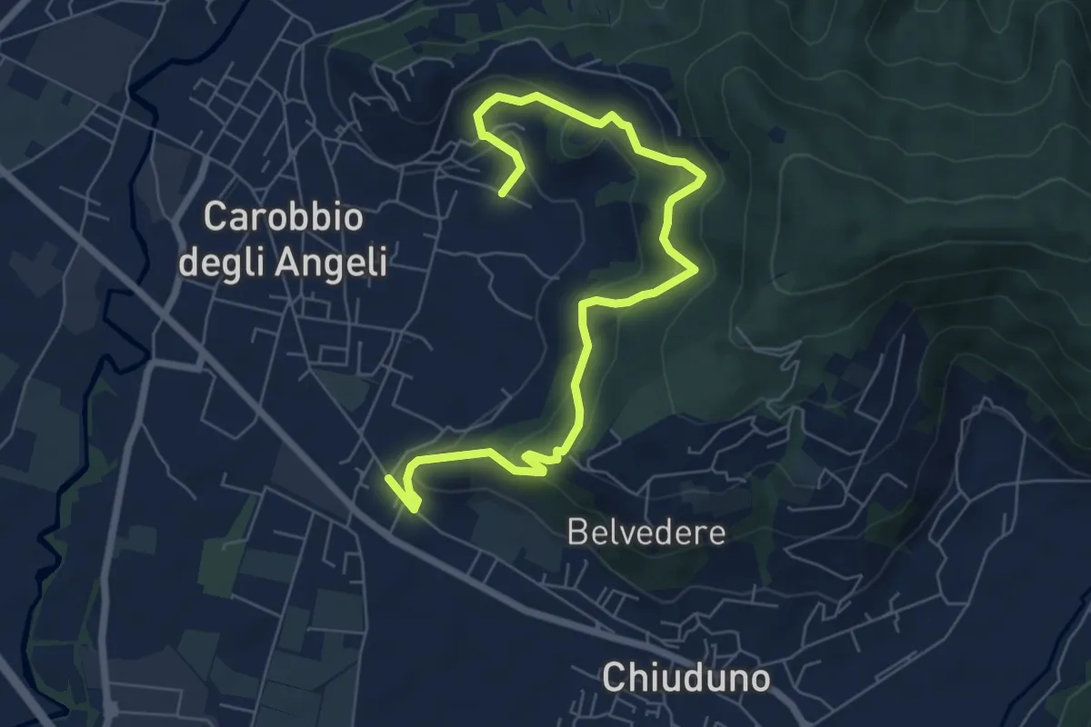
Medium · Trail
Cicola – Santo Stefano
7.8 km · ↑ 443 m · 2 h 49 min · 14 km away
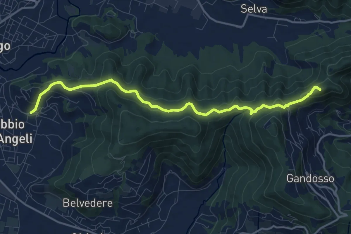
Medium · Summit
Carobbio degli Angeli – San Giovanni delle Formiche
10.6 km · ↑ 442 m · 3 h 27 min · 14 km away
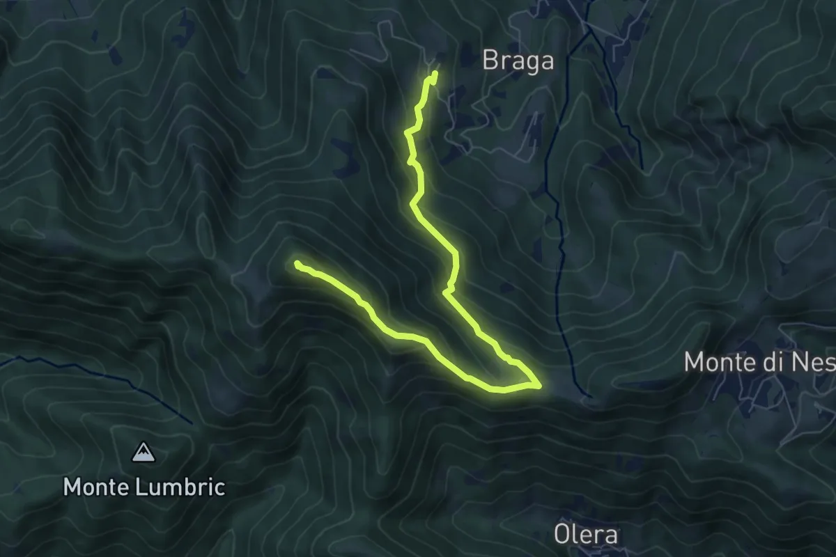
Medium · Summit
Cler (Sedrina) – Ripa (Poscante)
7.8 km · ↑ 573 m · 3 h 4 min · 14 km away
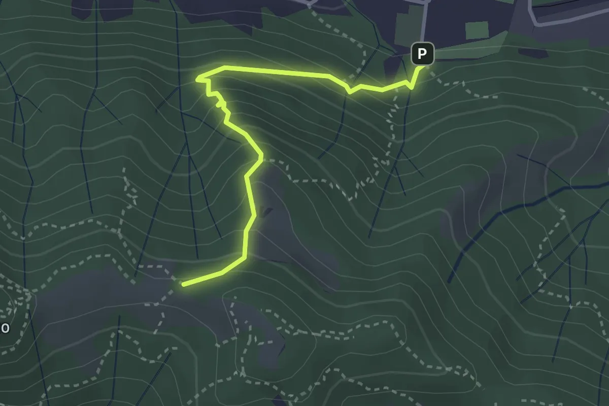
Medium · Trail
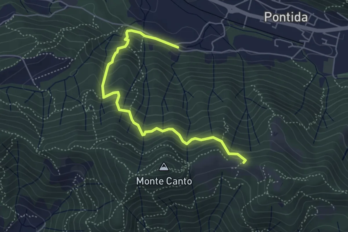
Pontida – Il Canto (incrocio 891)
3.1 km · ↑ 308 m · 1 h 23 min · 14 km away
Medium · Trail
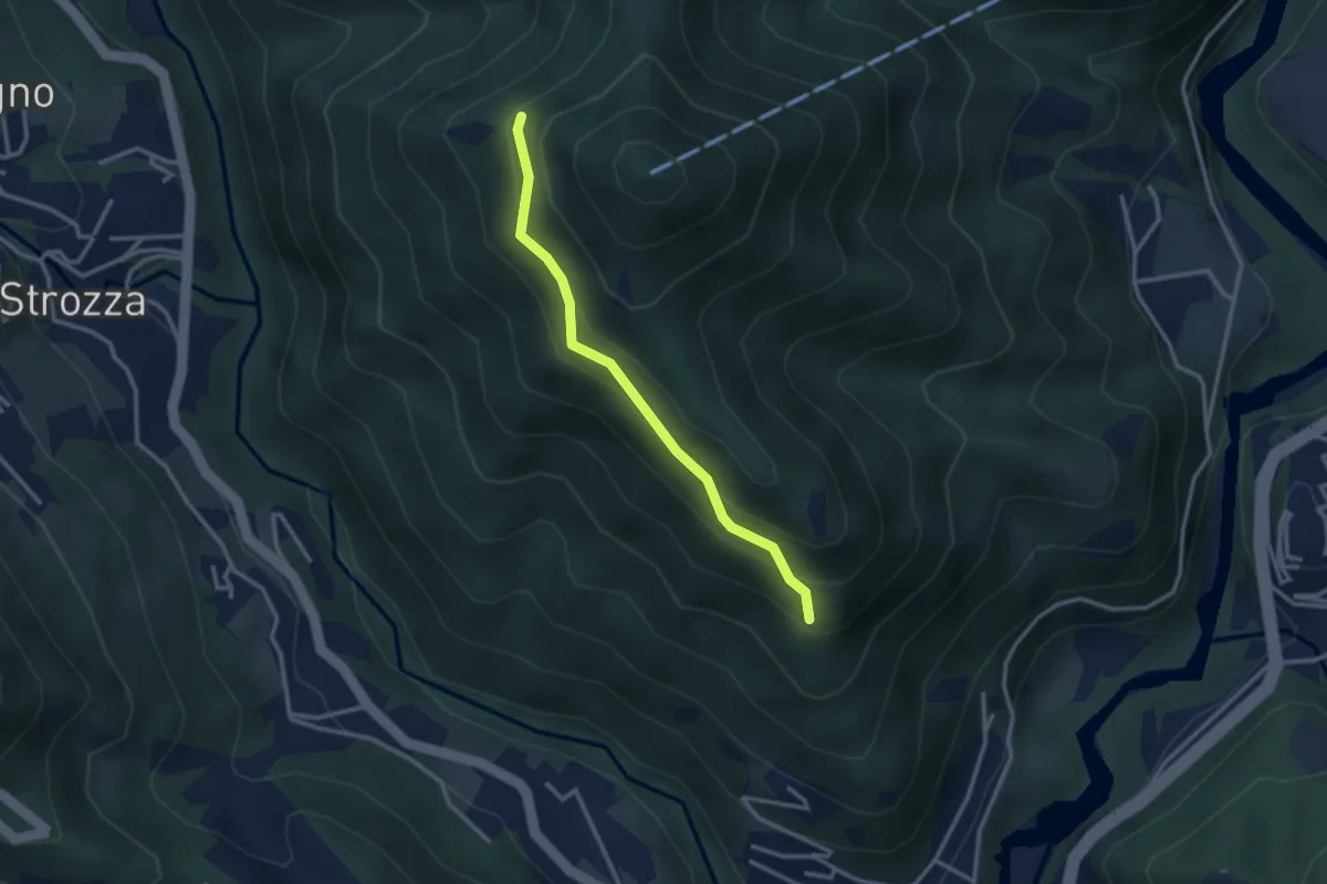
Pontida (Santuario San Giuseppe) – Il Canto (incrocio 897)
4.9 km · ↑ 429 m · 2 h 5 min · 15 km away
Medium · Trail
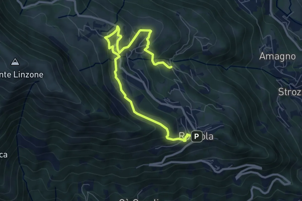
Incrocio 571 – Incrocio 584
2.7 km · ↑ 197 m · 1 h 4 min · 15 km away
Medium · Trail
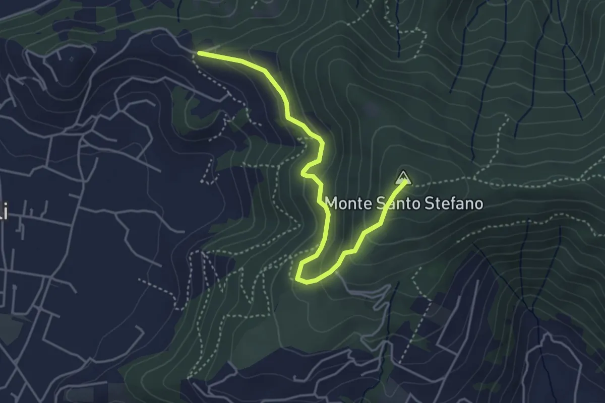
Sentiero dell'Acqua
8.4 km · ↑ 438 m · 2 h 56 min · 15 km away
Medium · Summit
Duria – Boca di senter
4.3 km · ↑ 266 m · 1 h 35 min · 15 km away
Medium · Trail
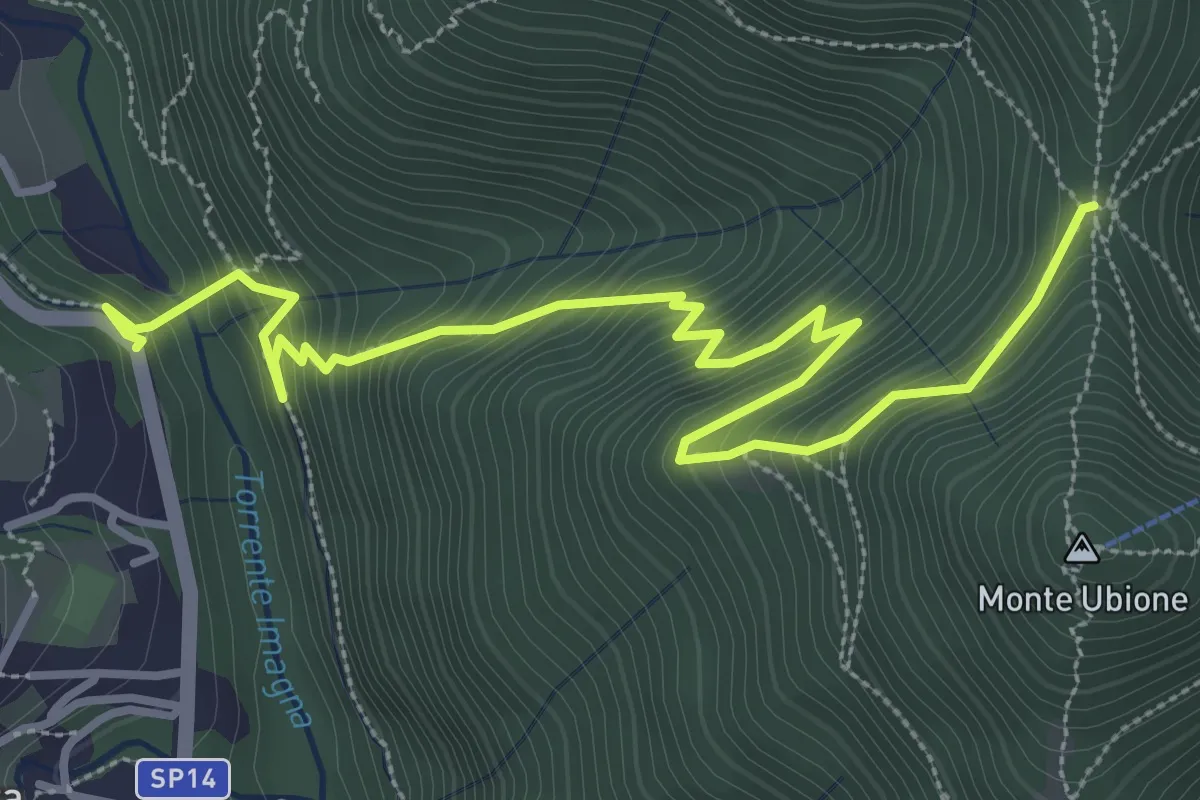
Strozza – Roccoli della Passata
4.5 km · ↑ 494 m · 2 h 8 min · 15 km away
Medium · Trail
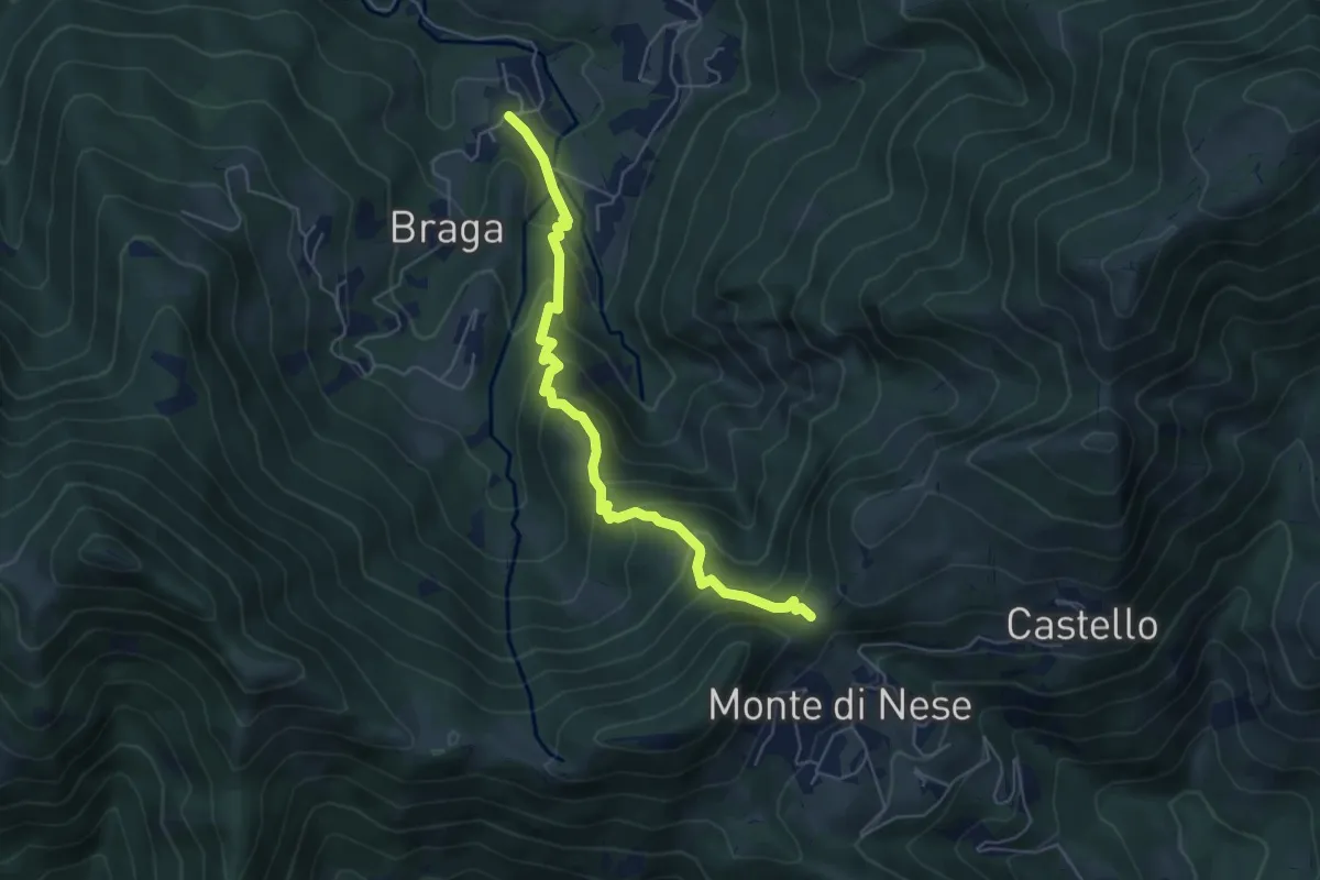
Poscante – Forcella di Monte di Nese
5.7 km · ↑ 465 m · 2 h 21 min · 15 km away
Medium · Summit
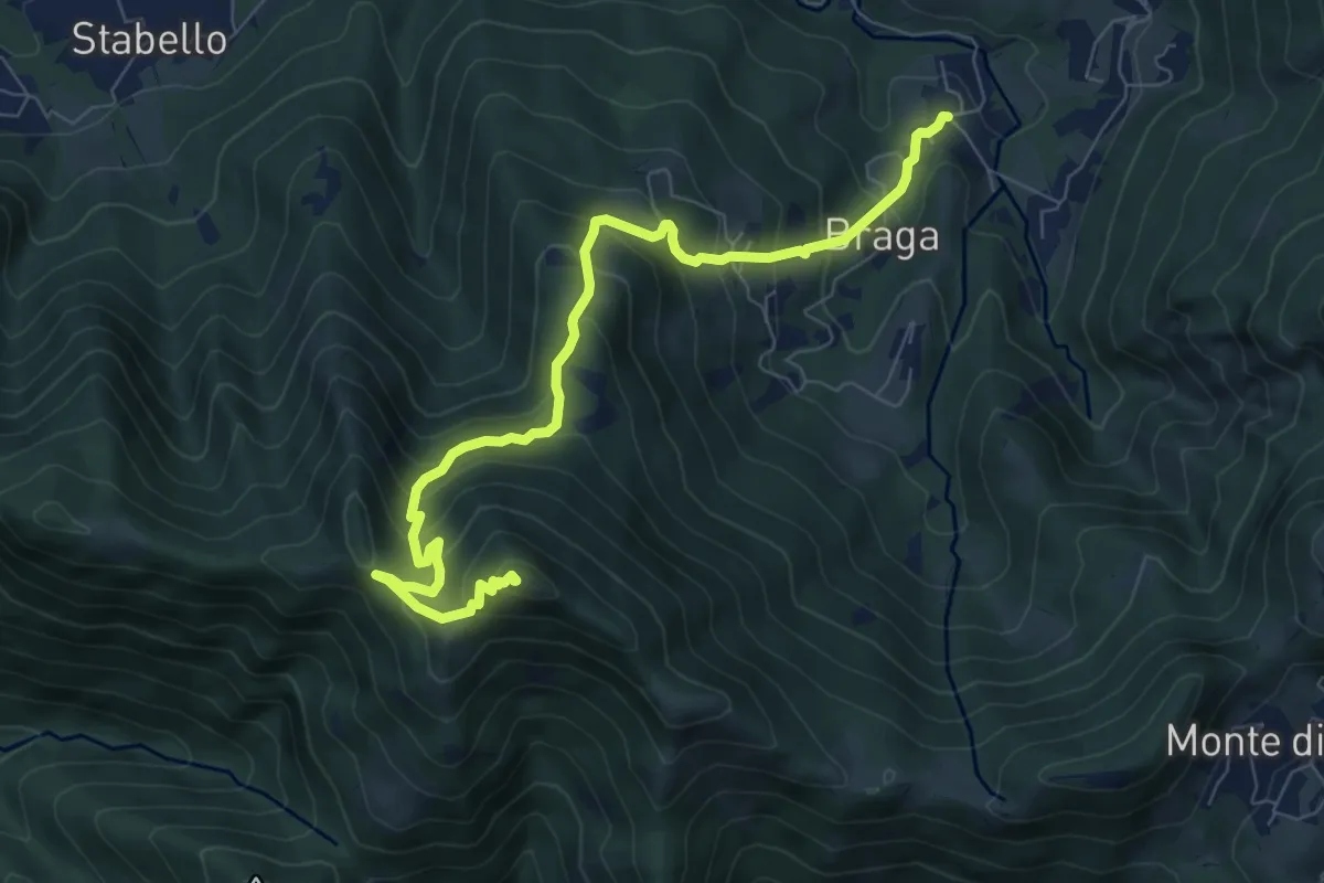
Poscante – Canto Alto
8.5 km · ↑ 775 m · 3 h 41 min · 15 km away