Trails near Sulmona
102 hikes starting within 15 km, nearest first.
Nearest first, page 2 of 3
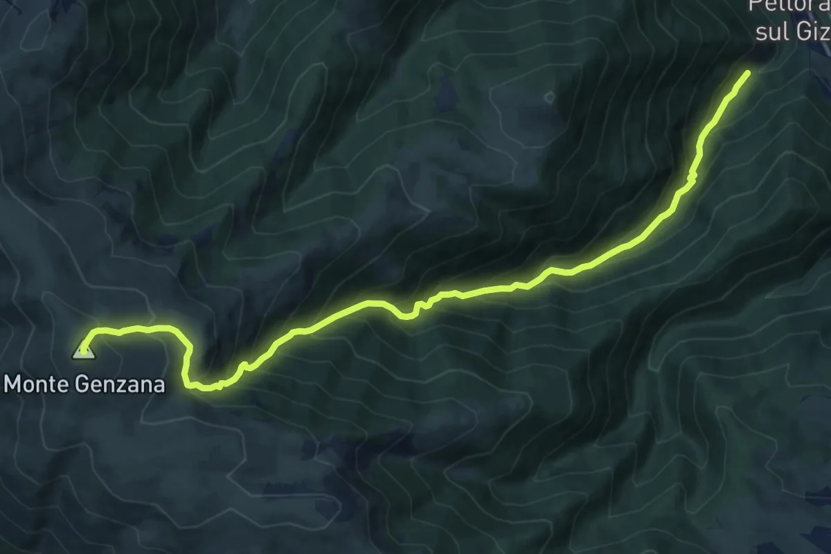
Demanding · Summit
Pettorano Sul Gizio – Monte Genzana
15.1 km · ↑ 1534 m · 6 h 53 min · 9 km away
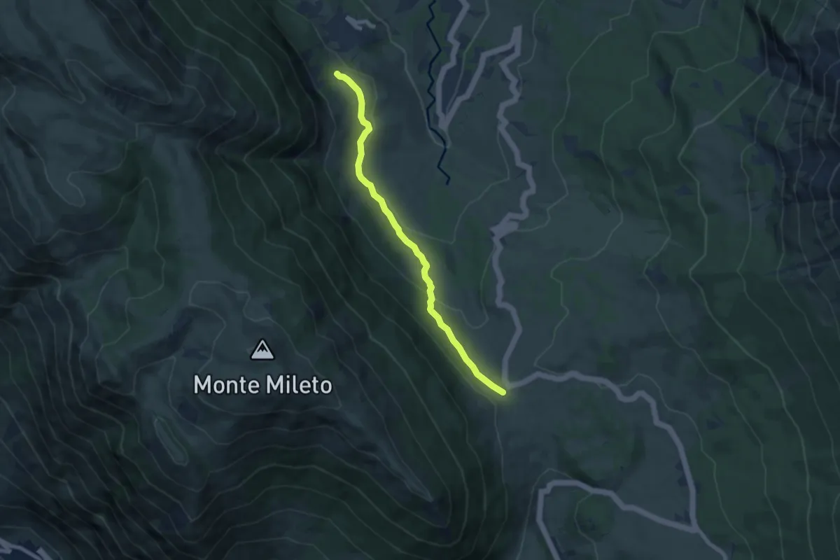
Medium · Trail
Passo San Leonardo – Roccacaramanico
7.3 km · ↑ 218 m · 2 h 12 min · 9 km away
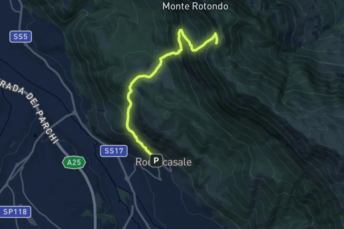
Demanding · Trail
Roccacasale – Colle dei Sambuchi
14.0 km · ↑ 1267 m · 6 h 3 min · 9 km away
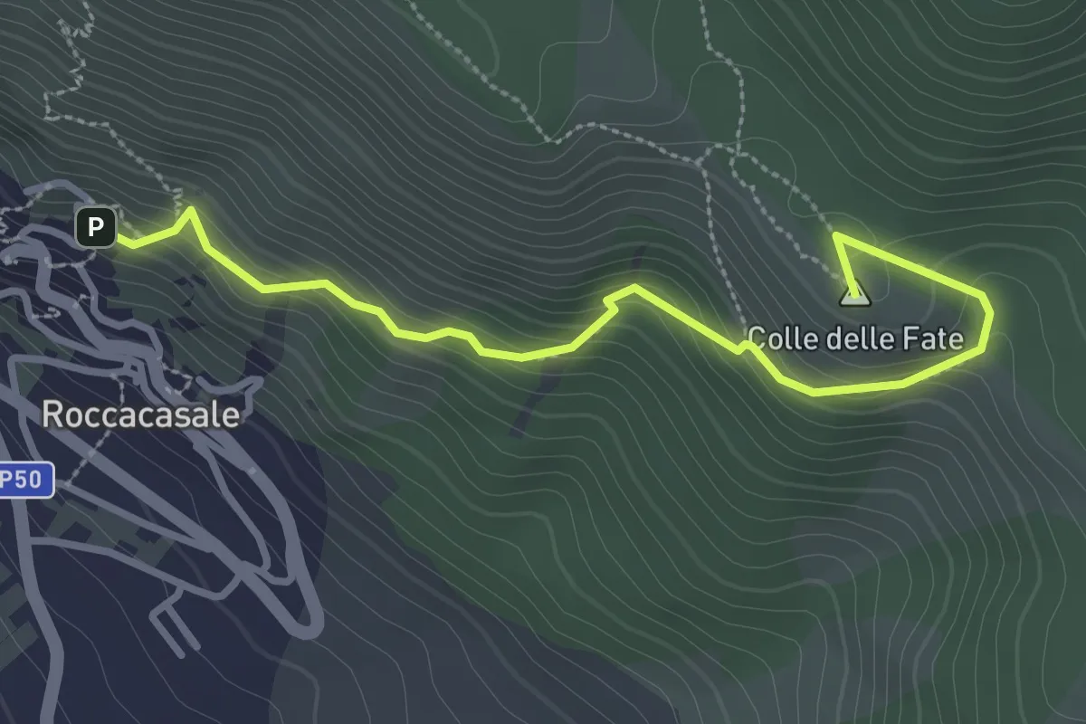
Easy · Summit
Roccacasale – Rif. Il Puzzacchio
3.5 km · ↑ 247 m · 1 h 21 min · 9 km away
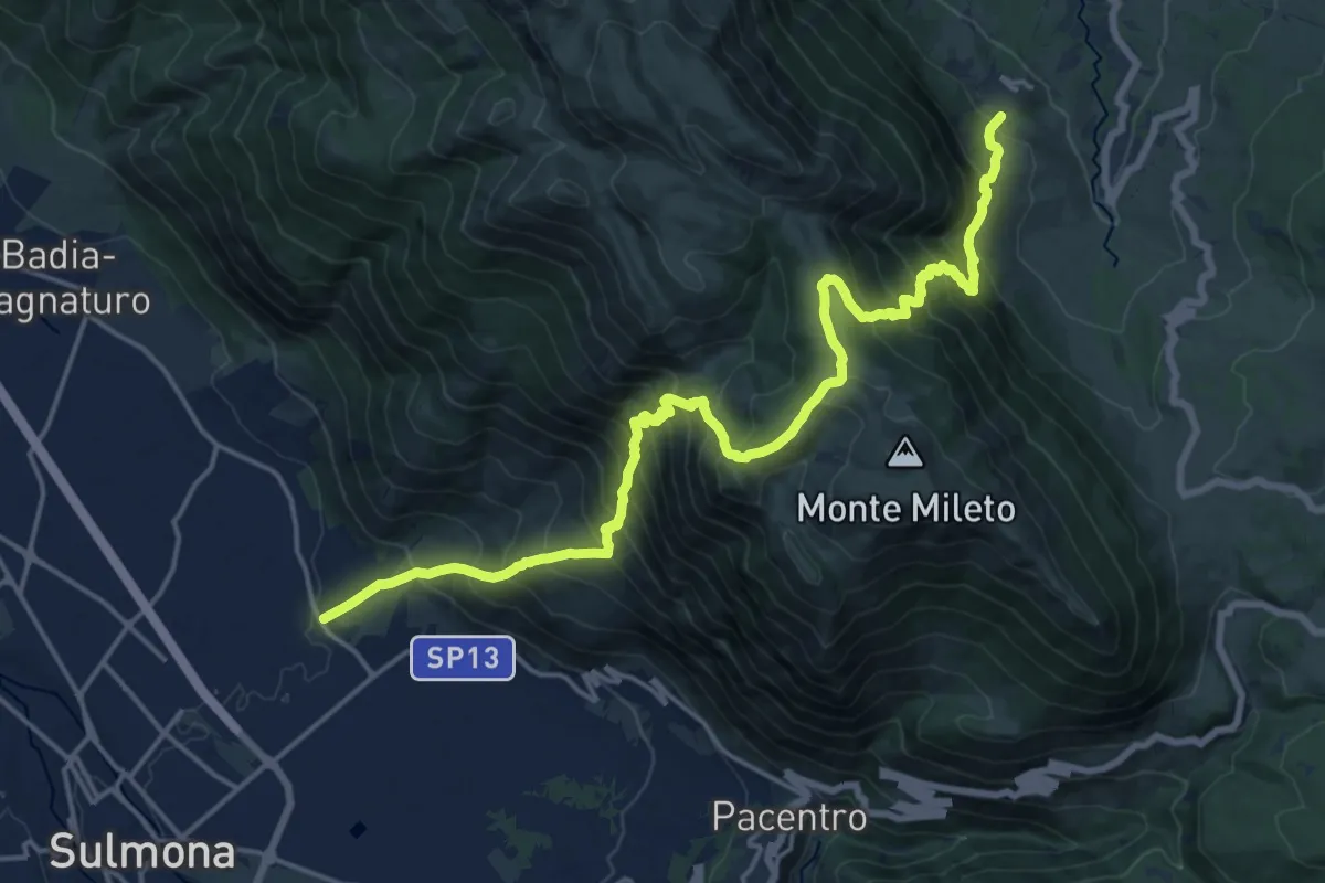
Medium · Trail
Marane di Sulmona – Roccacaramanico
10.9 km · ↑ 742 m · 4 h 41 min · 9 km away
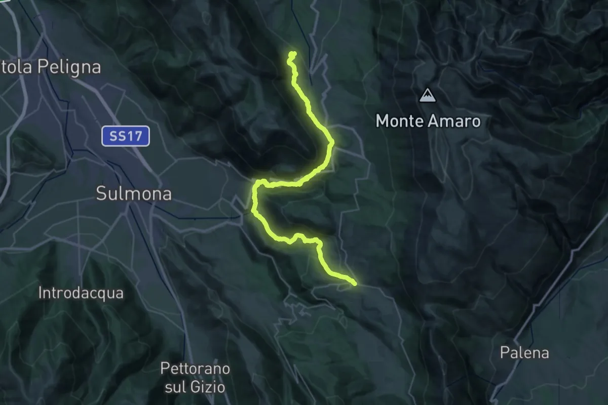
Demanding · Trail
Campo di Giove – Roccacaramanico
18.5 km · ↑ 897 m · 6 h 34 min · 9 km away
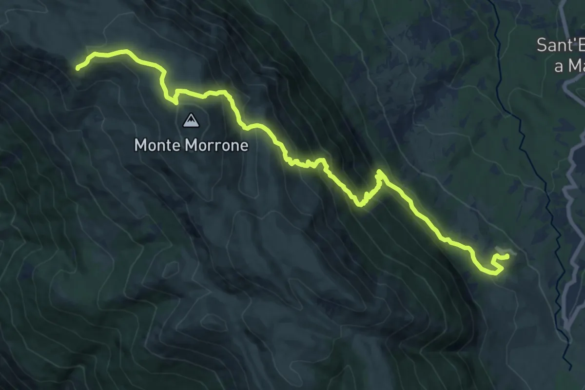
Demanding · Summit
Roccacaramanico – Rifugio Jaccio Grande
17.3 km · ↑ 1192 m · 6 h 40 min · 9 km away
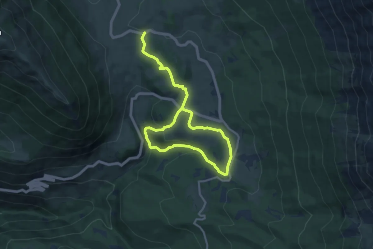
Medium · Trail
Anello di Passo San Leonardo
11.9 km · ↑ 414 m · 3 h 43 min · 10 km away
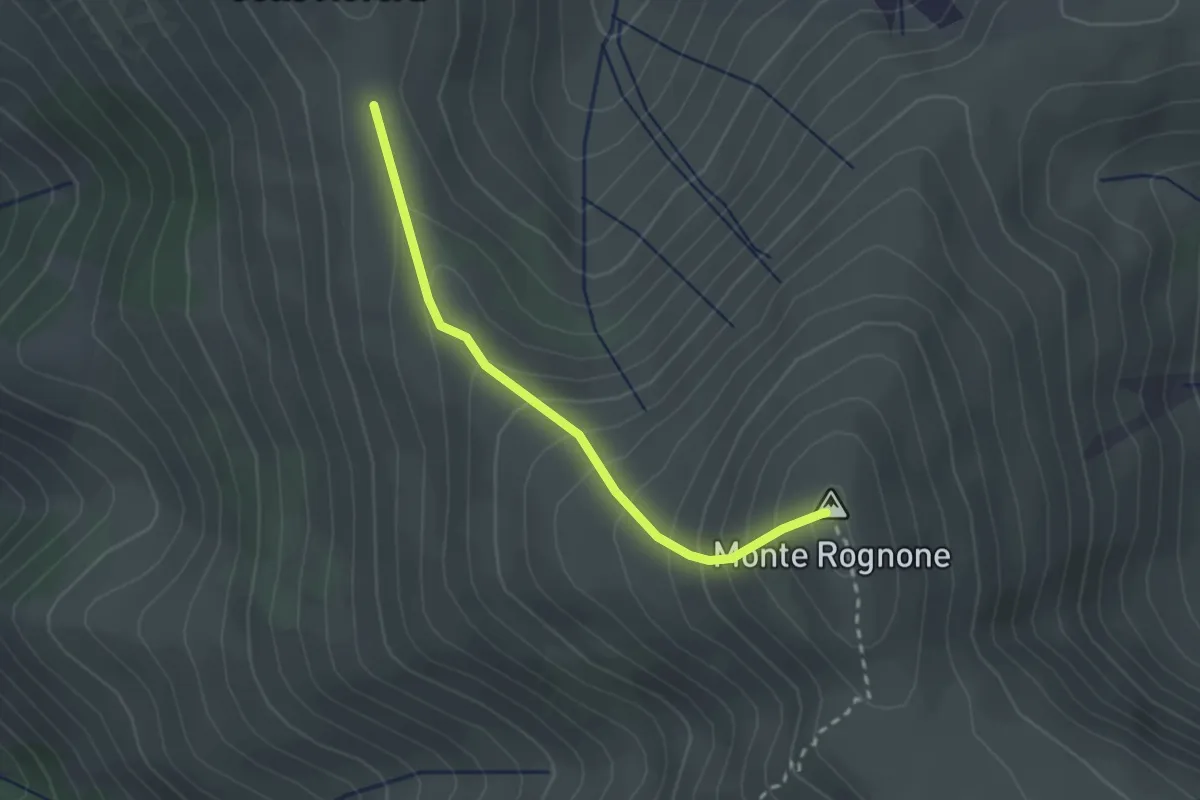
Easy · Summit
Rifugio Forca Ristoppia – La Forchetta
2.5 km · ↑ 254 m · 1 h 8 min · 10 km away
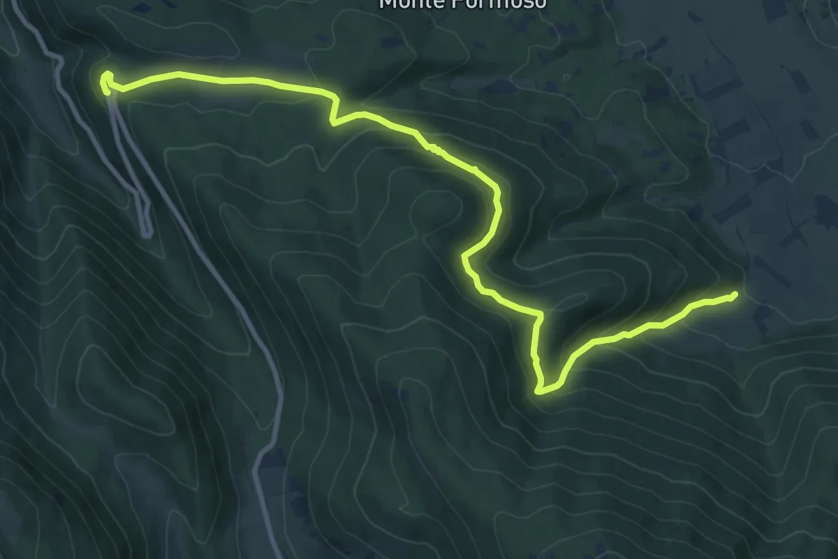
Medium · Trail
Coppo del Diavolo – Sentiero O3
11.4 km · ↑ 533 m · 3 h 51 min · 10 km away
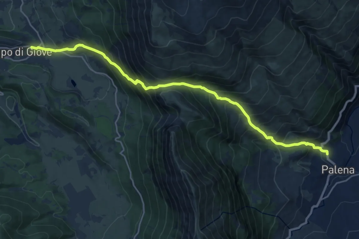
Demanding · Trail
Il Cammino sentiero della Libertà
18.0 km · ↑ 1536 m · 7 h 35 min · 11 km away
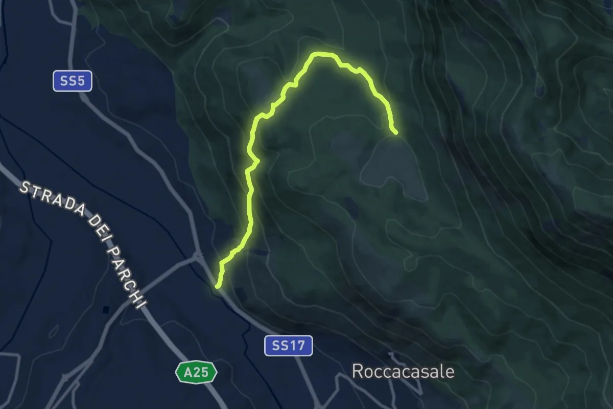
Medium · Trail
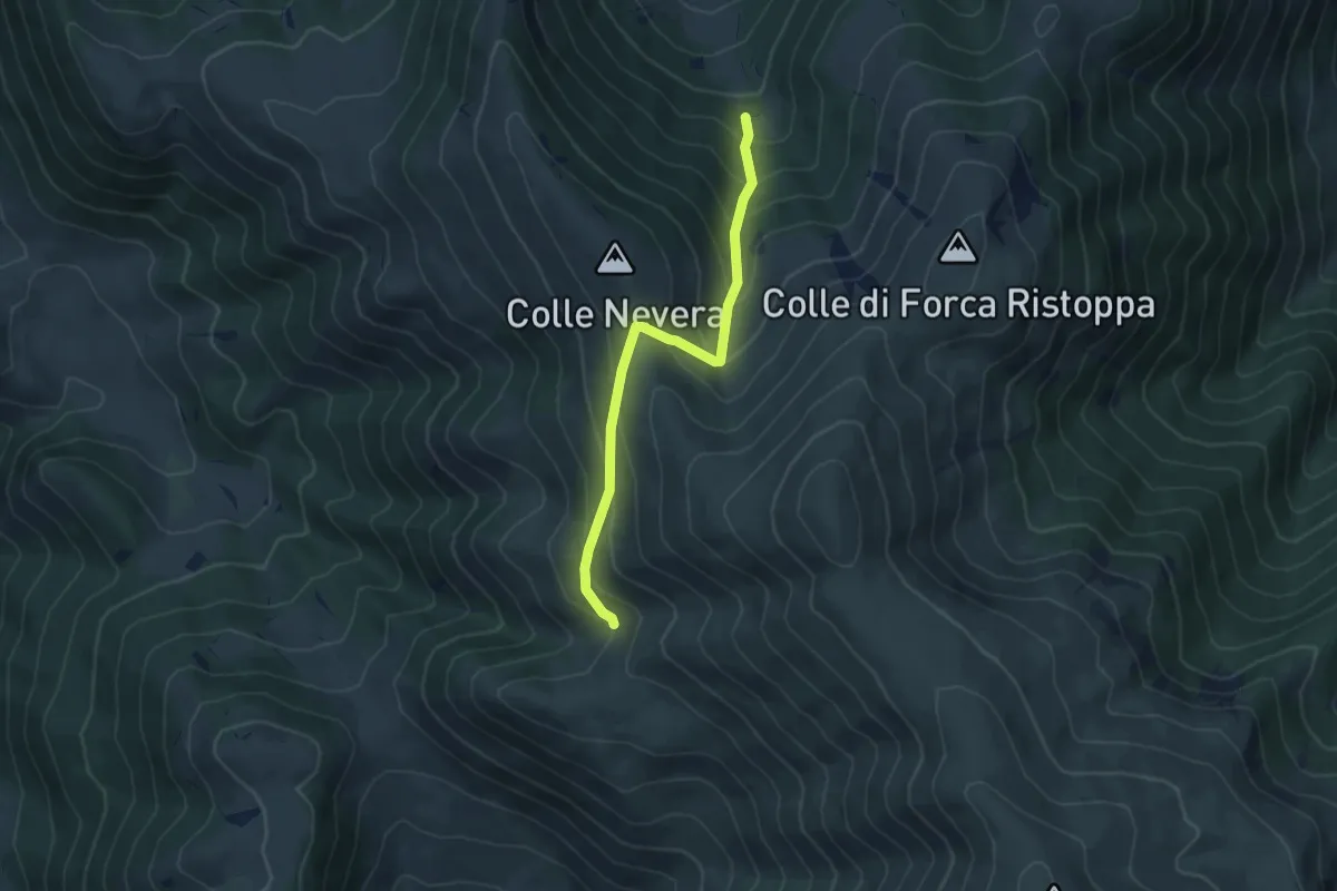
Strada Statale 17 – Fonte Beato Mariano
10.2 km · ↑ 618 m · 3 h 45 min · 11 km away
Medium · Trail
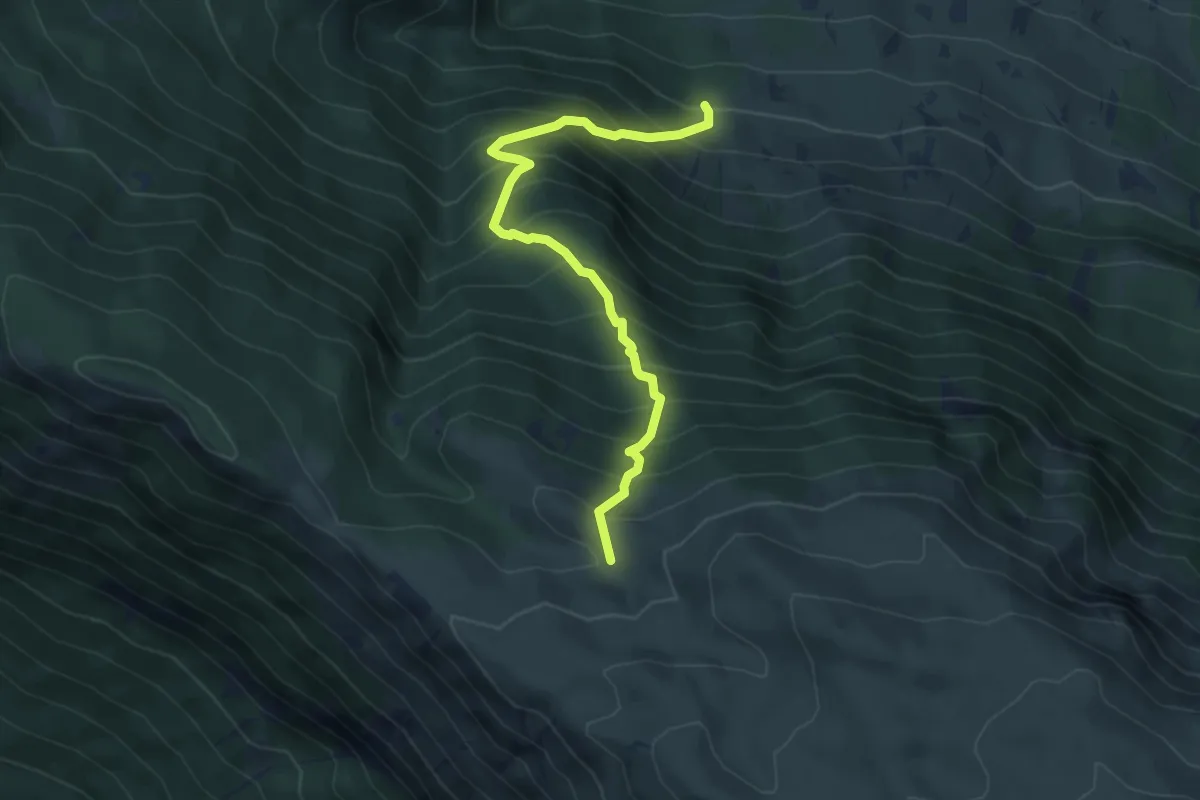
Vallone di Sant'Antonio – Monte Cona
5.4 km · ↑ 460 m · 2 h 17 min · 11 km away
Medium · Trail
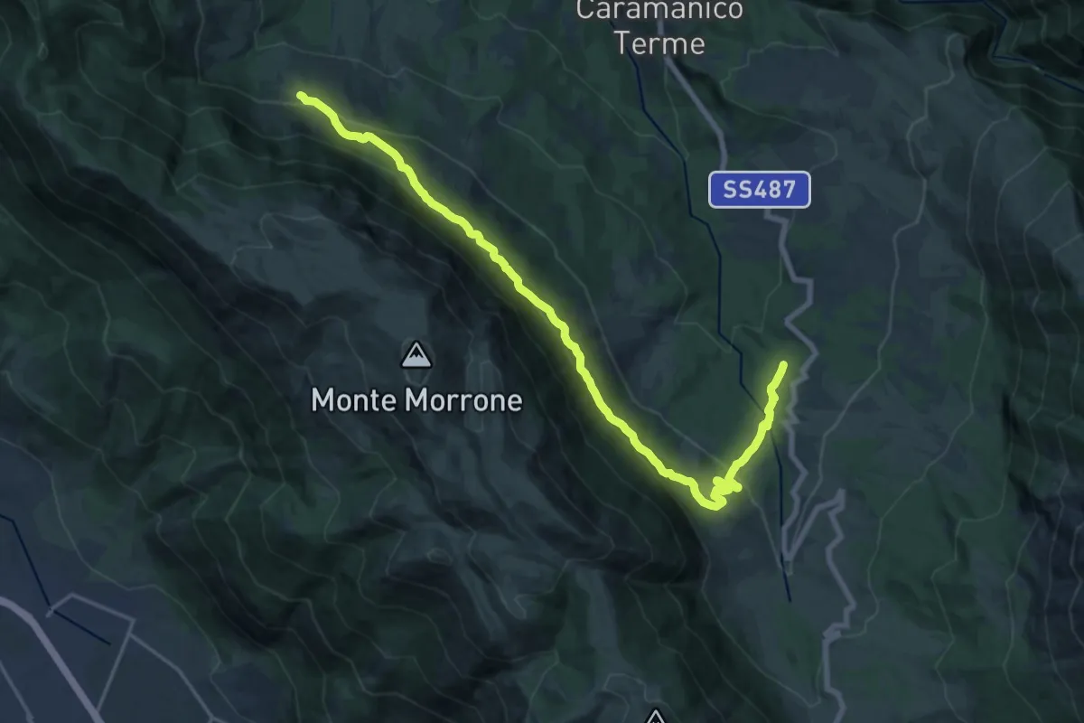
Barbusciana di Salle – Rifugio Jaccio Grande
5.7 km · ↑ 714 m · 2 h 53 min · 11 km away
Demanding · Trail
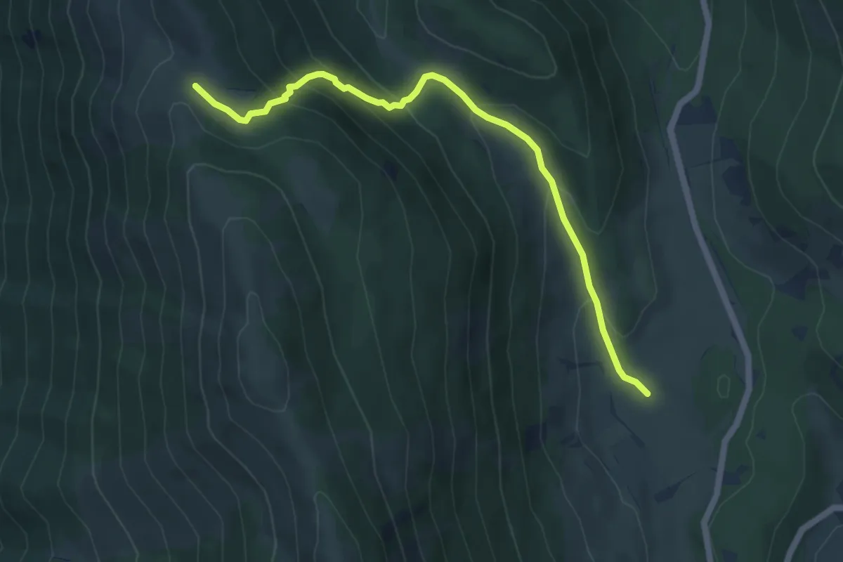
San Giacomo – Barbusciana di Salle
21.9 km · ↑ 973 m · 7 h 16 min · 11 km away
Medium · Trail
L'Acereta – Sentiero T2
5.7 km · ↑ 361 m · 2 h 8 min · 11 km away
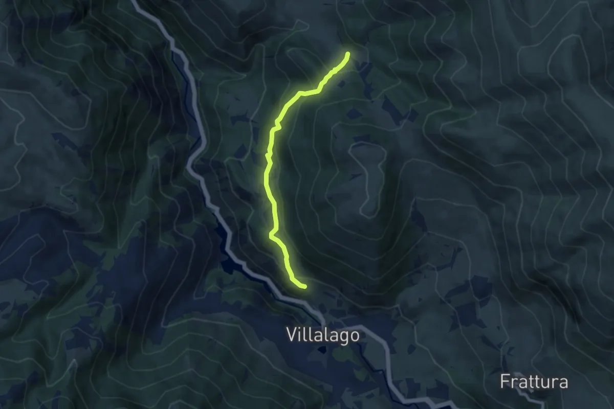
Medium · Trail
Villalago – Sentiero 11
6.9 km · ↑ 427 m · 2 h 34 min · 11 km away
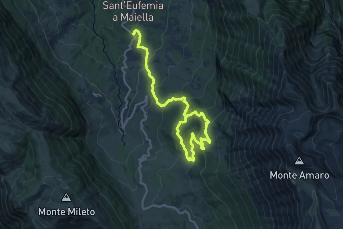
Demanding · Trail
Girdino Botanico – Anello Lama Bianca
20.3 km · ↑ 985 m · 6 h 55 min · 12 km away
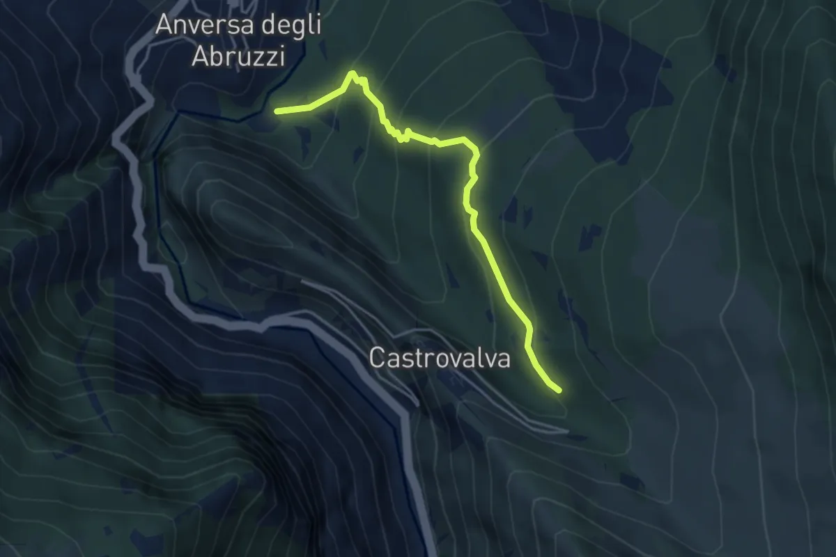
Easy · Trail
Sorgenti di Cavuto – Castrovalva
4.2 km · ↑ 289 m · 1 h 37 min · 12 km away
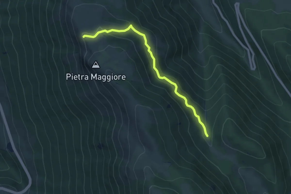
Easy · Trail
Sentiero degli Alpini
5.1 km · ↑ 261 m · 1 h 47 min · 12 km away
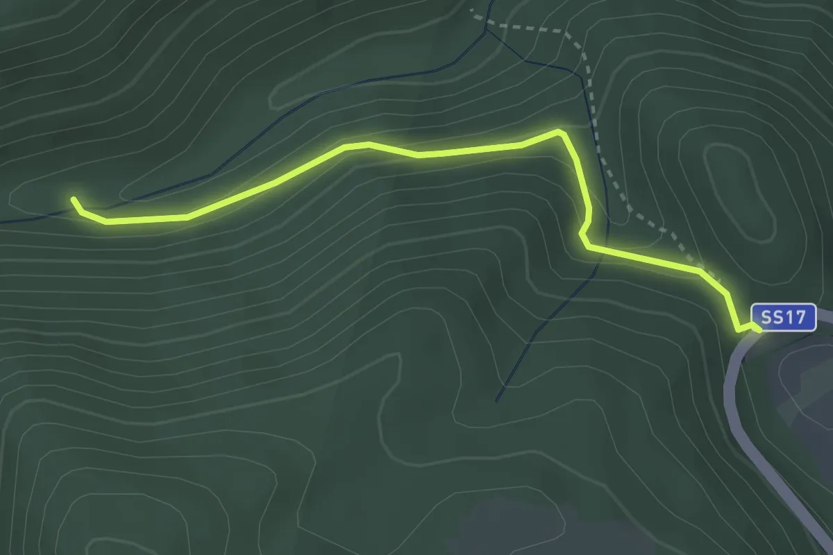
Easy · Trail
S.S. 17 – Sentiero 7
3.4 km · ↑ 144 m · 1 h 7 min · 12 km away
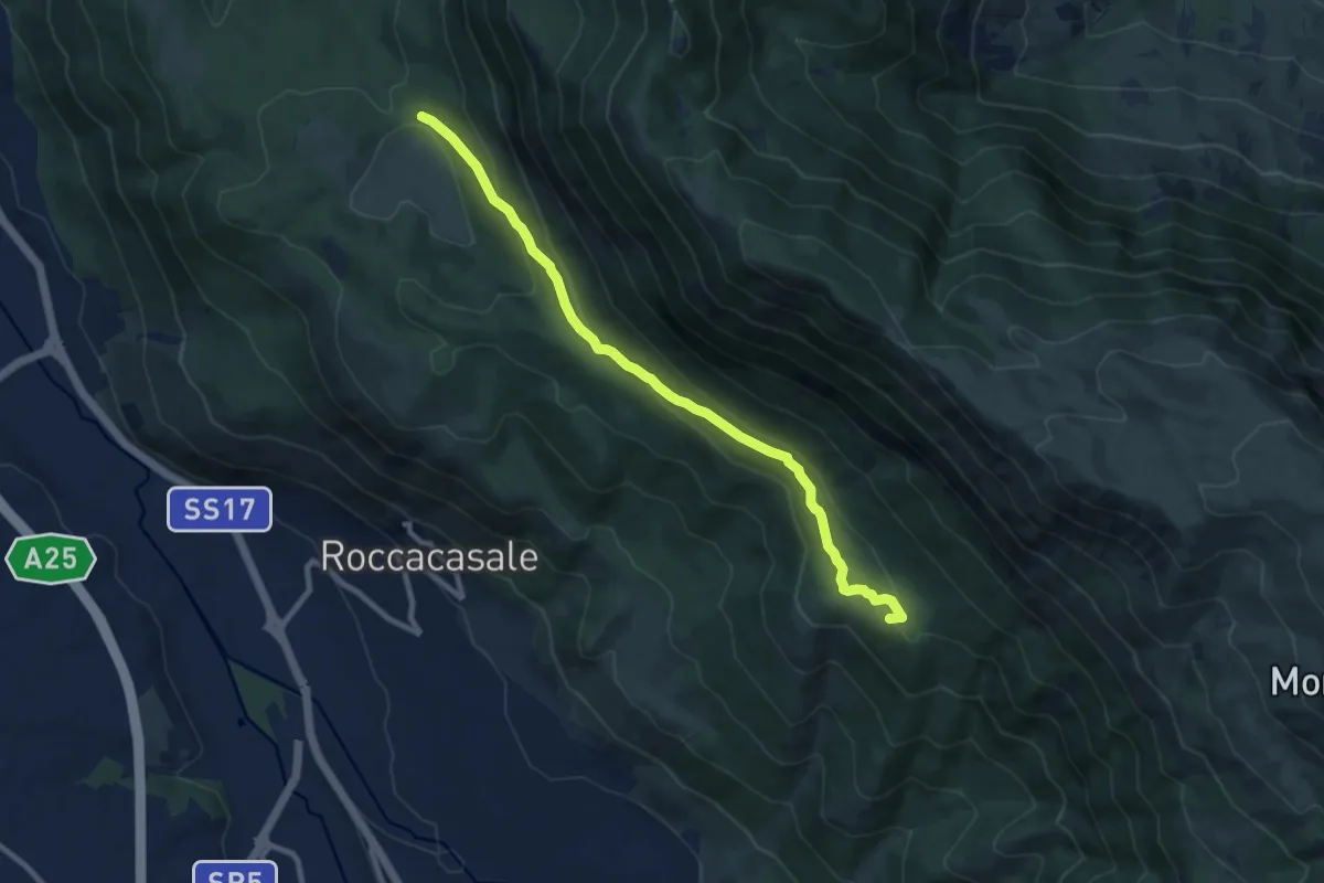
Medium · Summit
Fonte Beato Mariano – Sentiero R6
10.0 km · ↑ 391 m · 3 h 13 min · 12 km away
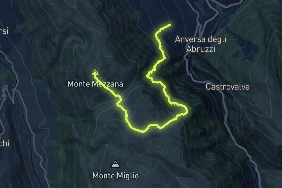
Demanding · Summit
Anversa degli Abruzzi – Monte Mezzana
16.0 km · ↑ 1562 m · 7 h 9 min · 12 km away
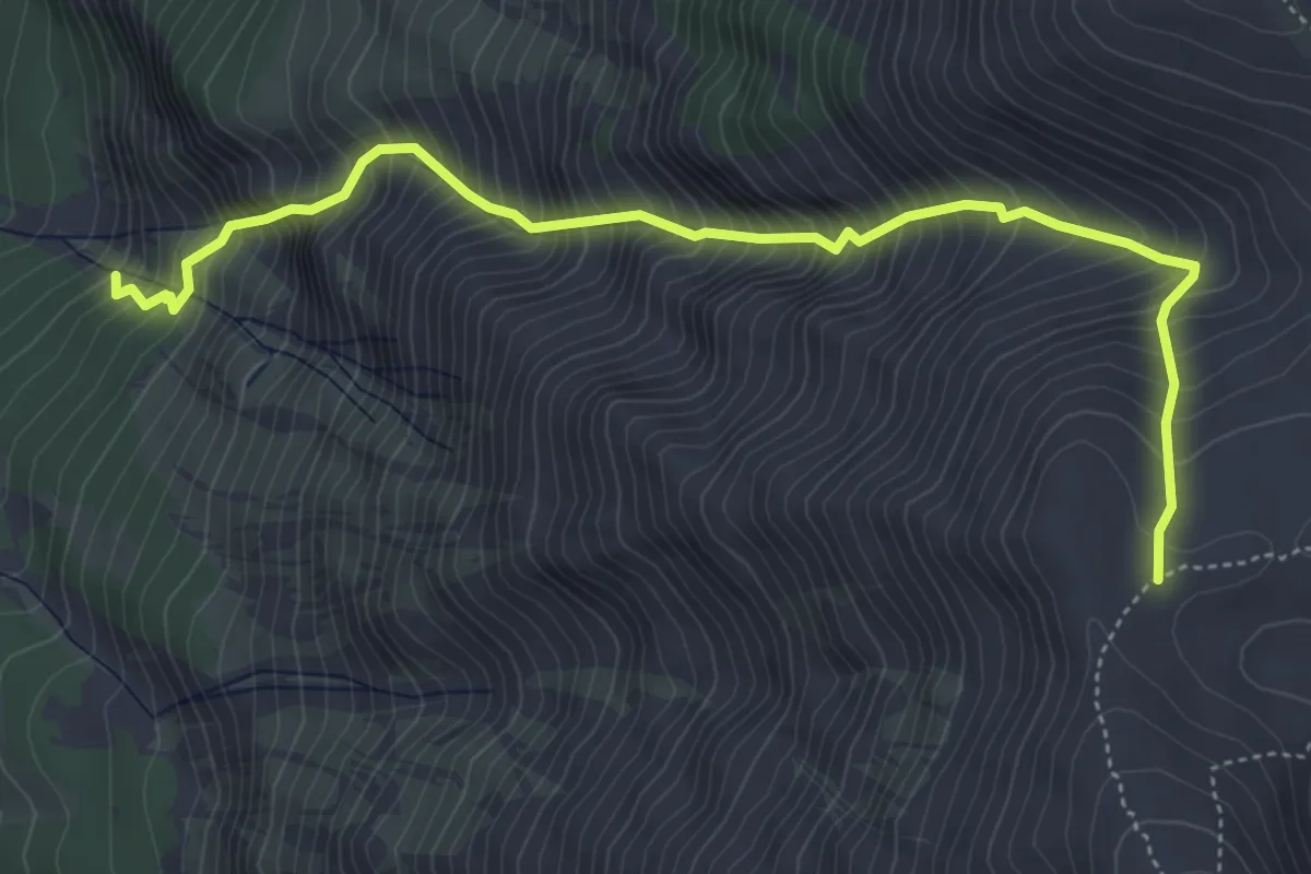
Demanding · Trail
Lama Bianca – Sella di Monte Amaro
5.9 km · ↑ 1144 m · 3 h 52 min · 12 km away
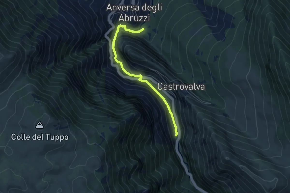
Medium · Trail
Sorgendi di Cavuto – Ponte a due luci
5.6 km · ↑ 325 m · 2 h 2 min · 12 km away
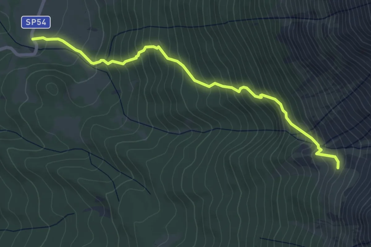
Medium · Trail
Fonte di Nunzio – Anfiteatro di Fondo Maiella
5.9 km · ↑ 607 m · 2 h 43 min · 13 km away
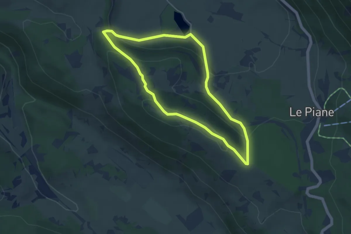
Easy · Trail
Sentiero dell'Orso
3.8 km · ↑ 128 m · 1 h 13 min · 13 km away
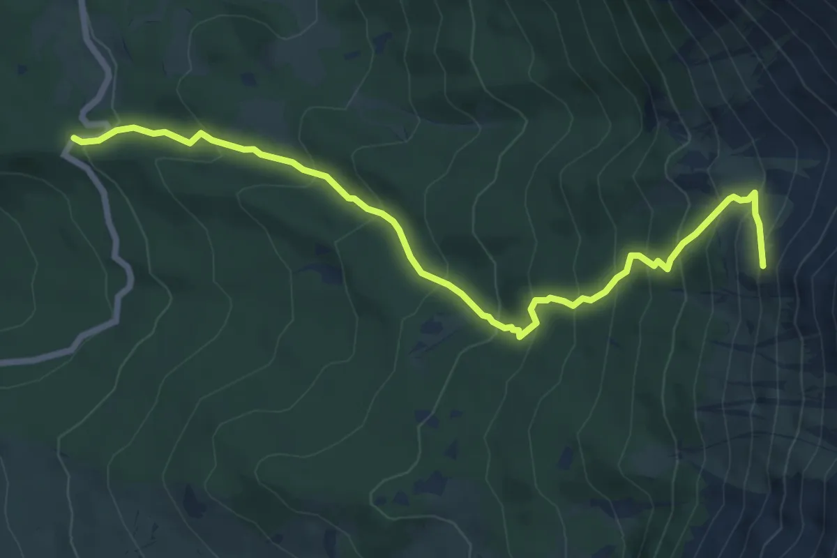
Medium · Trail
Fonte Romana – Anfiteatro di Fondo Maiella
7.8 km · ↑ 667 m · 3 h 17 min · 13 km away
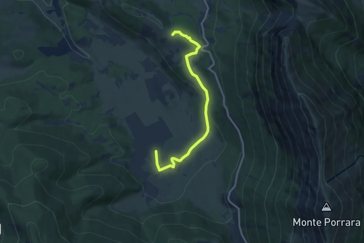
Easy · Trail
Serra Carpineto (Sent. P6) – Sentiero O3
7.8 km · ↑ 168 m · 2 h 12 min · 13 km away
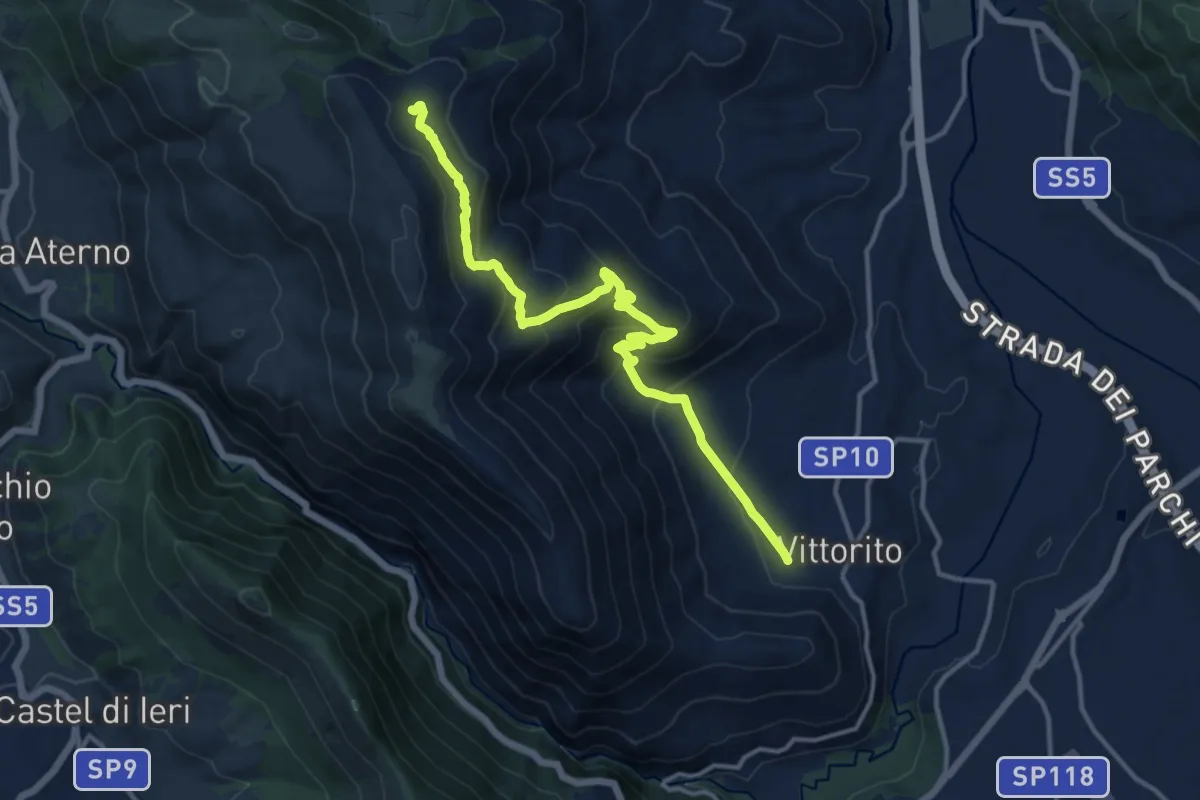
Medium · Trail
Vittorito – Sent. n. 571
14.9 km · ↑ 716 m · 5 h 4 min · 13 km away
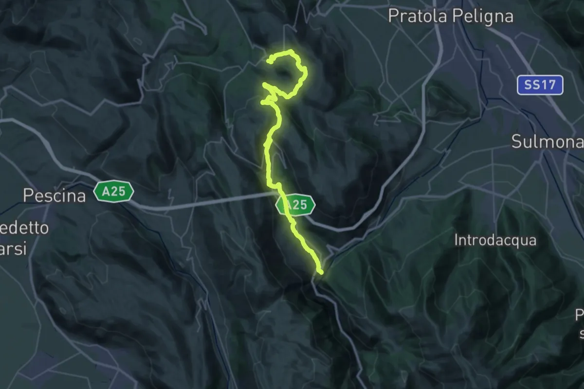
Medium · Trail
Il Cammino d'Abruzzo: Tappa 25
18.0 km · ↑ 535 m · 5 h 43 min · 13 km away
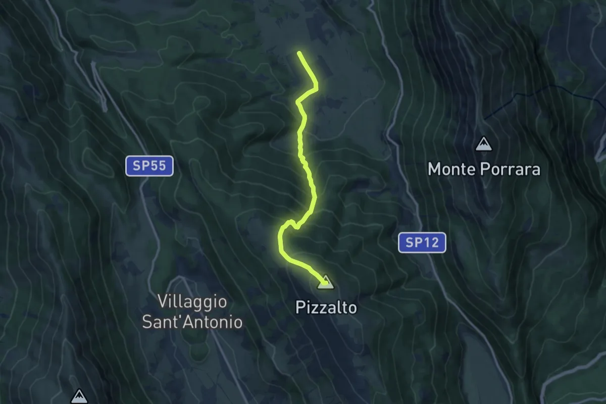
Demanding · Summit
Pescocostanzo – Colle della Battaglia
10.7 km · ↑ 924 m · 4 h 31 min · 13 km away
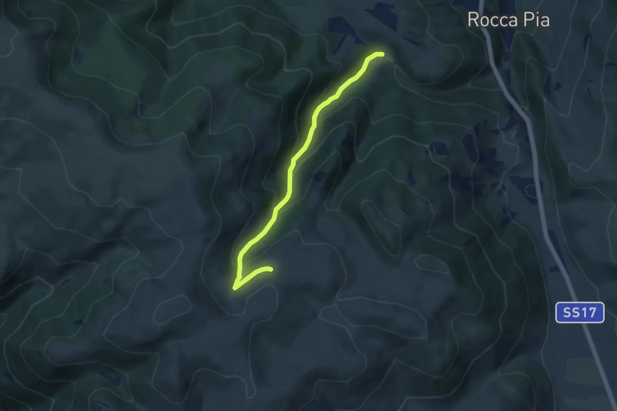
Medium · Trail
Valle Gentile – Sentiero 11
6.7 km · ↑ 469 m · 2 h 36 min · 13 km away
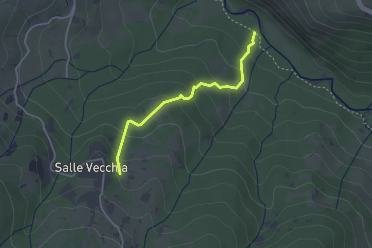
Easy · Trail
Castello di Salle – Fiume Orta
2.8 km · ↑ 169 m · 1 h 2 min · 13 km away
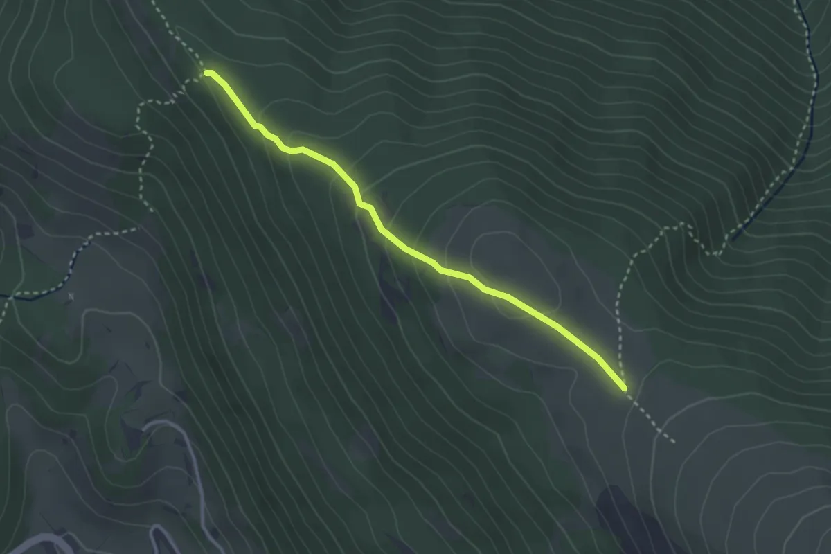
Easy · Trail
Sentiero O1 – Sentiero O3
3.3 km · ↑ 194 m · 1 h 12 min · 14 km away
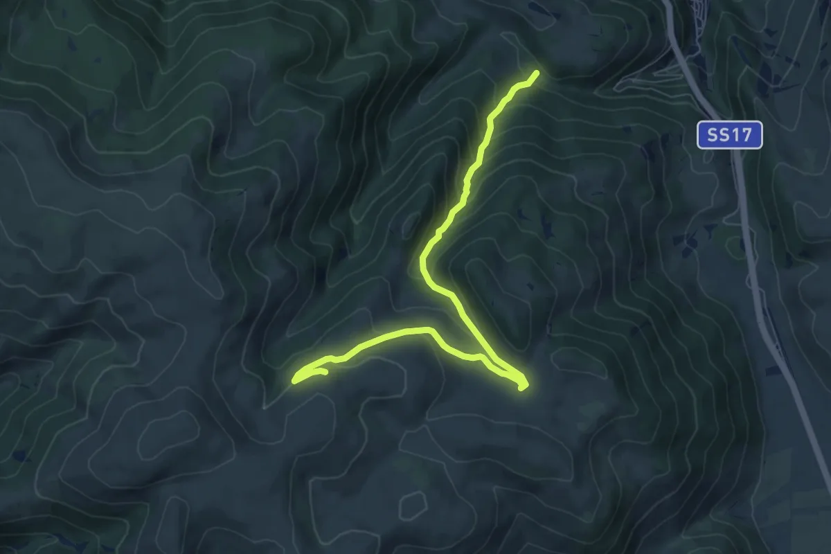
Medium · Trail
Valle Gentile – Fonte della Spina
8.9 km · ↑ 491 m · 3 h 10 min · 14 km away
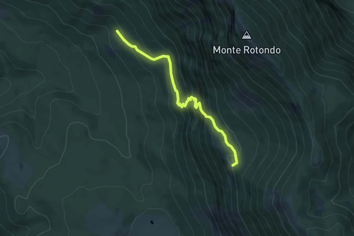
Medium · Trail
Tre Cese – La Fossa
5.3 km · ↑ 449 m · 2 h 13 min · 14 km away
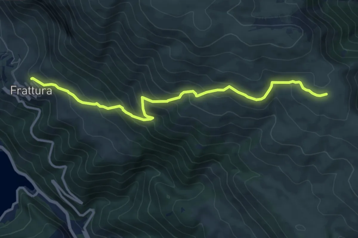
Medium · Trail
Frattura – Ovile Genzana
9.5 km · ↑ 592 m · 3 h 32 min · 14 km away
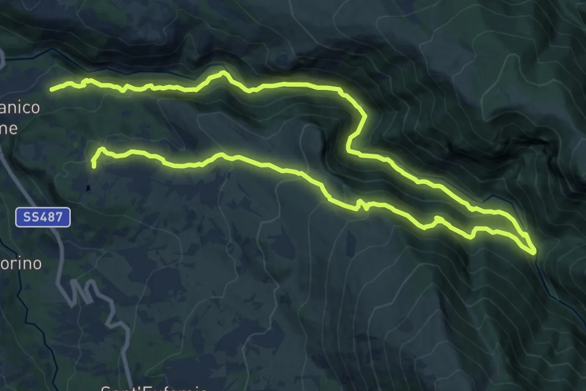
Demanding · Trail
San Nicolao – Vivaio Santa Croce
13.7 km · ↑ 869 m · 5 h 24 min · 14 km away
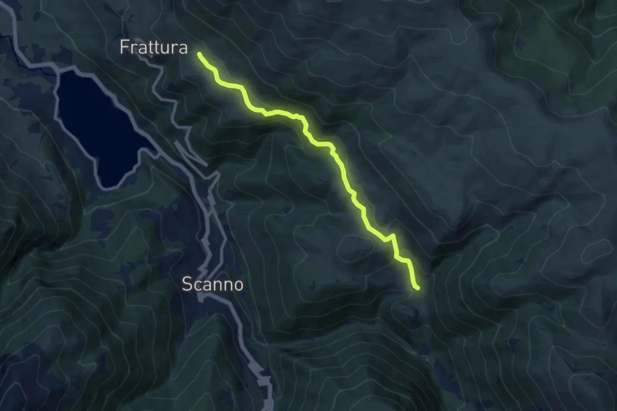
Medium · Trail
Fonte Malvascione – I Giardini
9.1 km · ↑ 405 m · 3 h 1 min · 14 km away
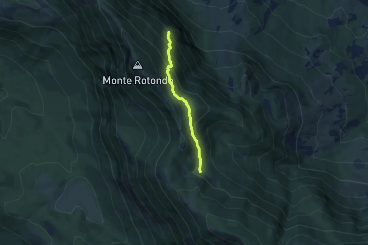
Medium · Trail
Sentiero A8 – Fonte Fredda
5.4 km · ↑ 405 m · 2 h 10 min · 14 km away
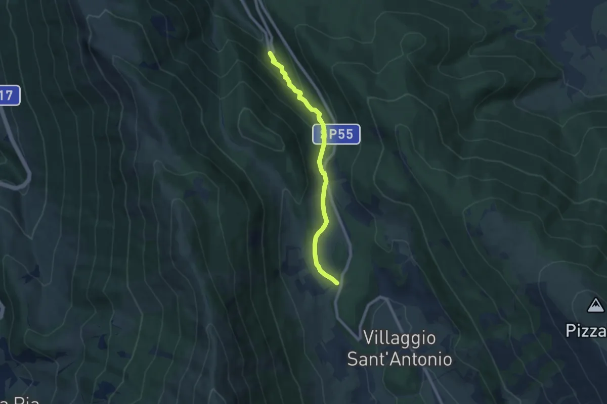
Easy · Cabin
Rifugio Il Majo – Bosco di Sant'Antonio
6.5 km · ↑ 235 m · 2 h 3 min · 14 km away
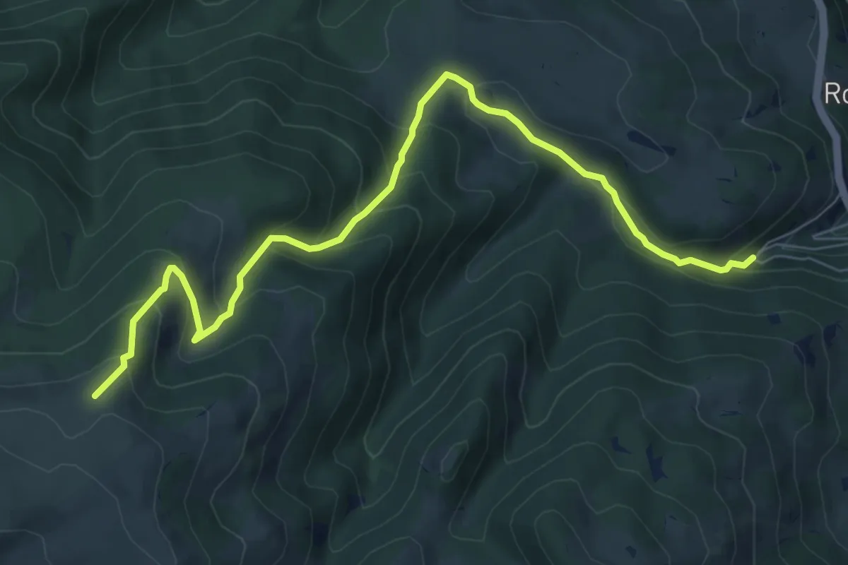
Medium · Trail
Rocca Pia – Sentiero 11
8.9 km · ↑ 603 m · 3 h 25 min · 14 km away
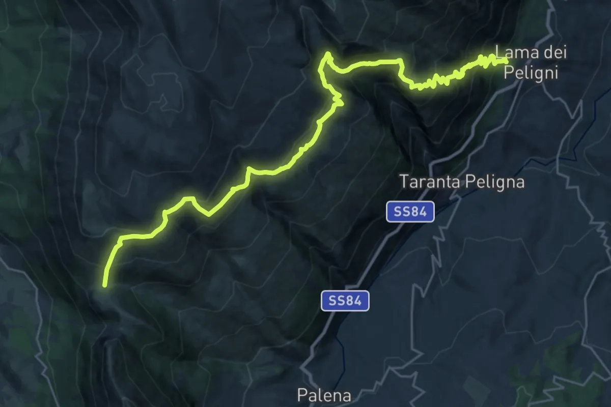
Demanding · Trail
Lama dei Peligni – Guado di Coccia
14.7 km · ↑ 640 m · 5 h 31 min · 14 km away
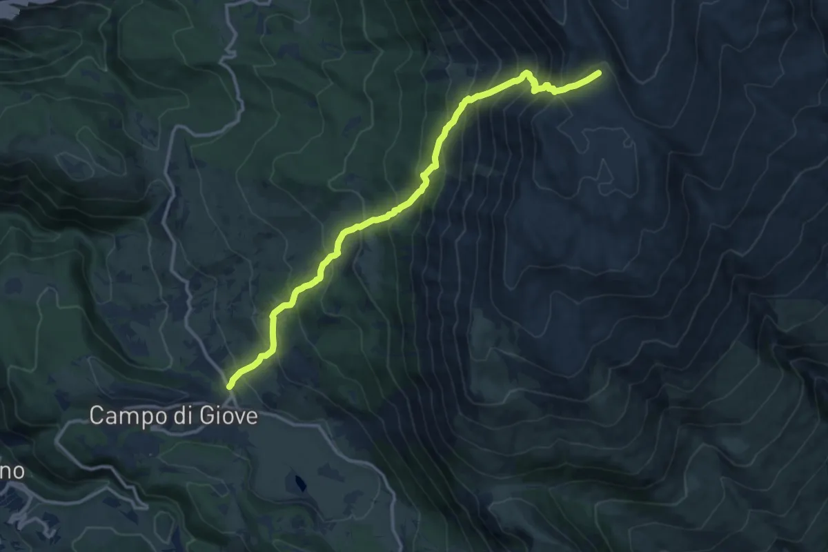
Demanding · Trail
Campo di Giove – Fondo di Femmina Morta
13.8 km · ↑ 1345 m · 6 h 10 min · 14 km away
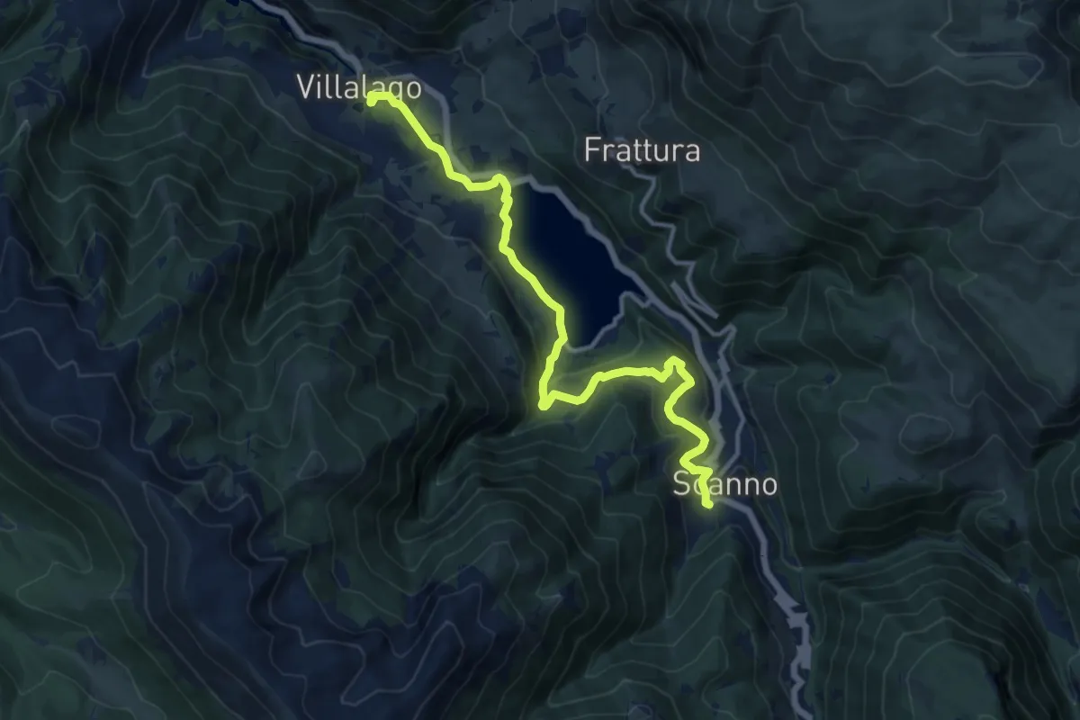
Medium · Trail
Il Cammino d'Abruzzo: Tappa 27
14.6 km · ↑ 421 m · 4 h 22 min · 14 km away
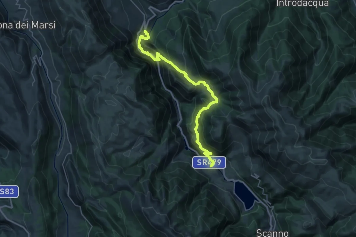
Medium · Trail
Il Cammino d'Abruzzo: Tappa 26
12.7 km · ↑ 582 m · 4 h 36 min · 14 km away
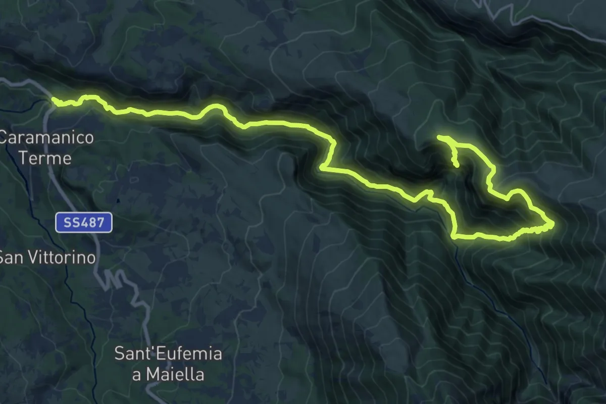
Demanding · Trail
Caramanico – Eremo di San Giovanni
13.8 km · ↑ 1489 m · 6 h 16 min · 14 km away