Trails near Tagliacozzo
115 hikes starting within 15 km, nearest first.
Nearest first, page 1 of 3
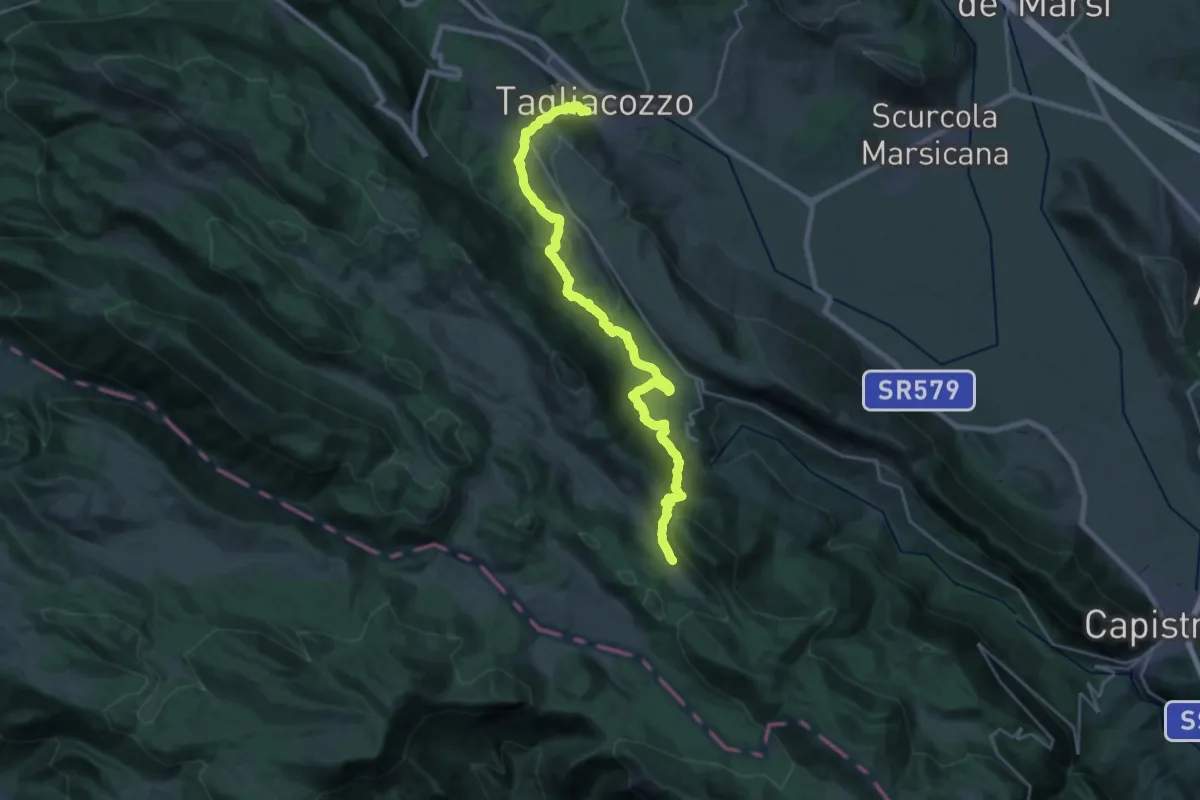
Demanding · Trail
Cammino di San Tommaso - Tappa 7
14.8 km · ↑ 896 m · 5 h 18 min · under 1 km away
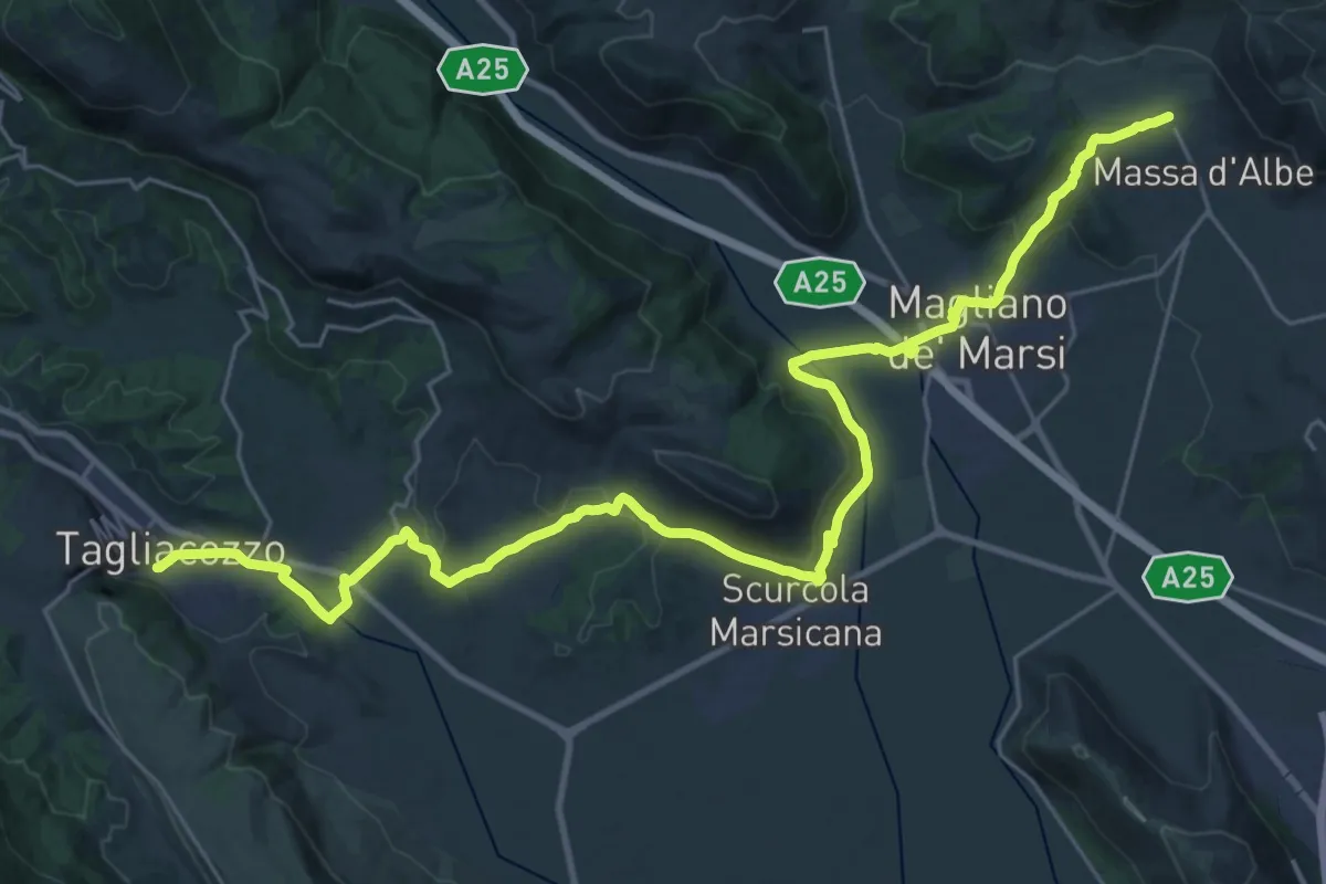
Demanding · Trail
Cammino di San Tommaso - Tappa 8
18.6 km · ↑ 451 m · 5 h 33 min · under 1 km away
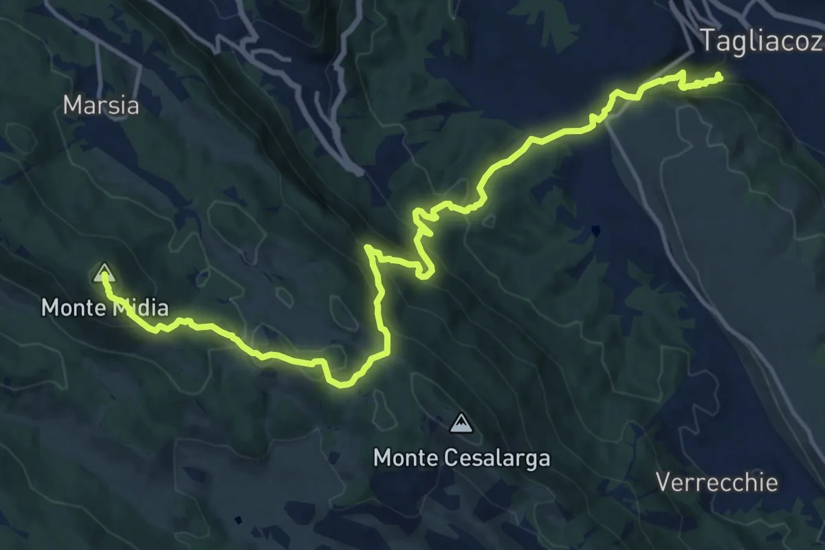
Demanding · Summit
Sentiero degli Amici
18.1 km · ↑ 1206 m · 6 h 54 min · 1 km away
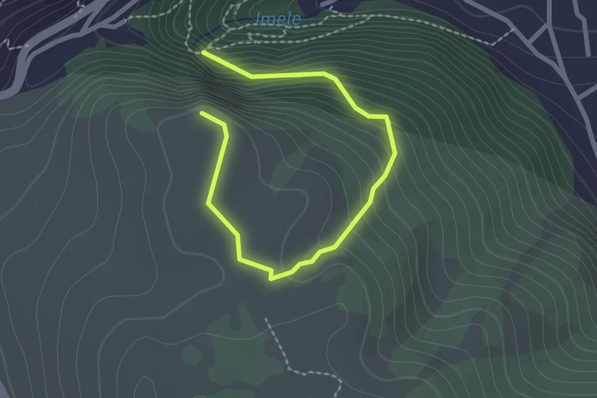
Easy · Trail
Tagliacozzo – La Croce
1.4 km · ↑ 162 m · 39 min · 1 km away
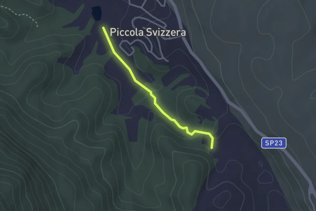
Easy · Trail
Laghetto Piccola Svizzera – Residence Eco Mostro
2.5 km · ↑ 67 m · 44 min · 3 km away
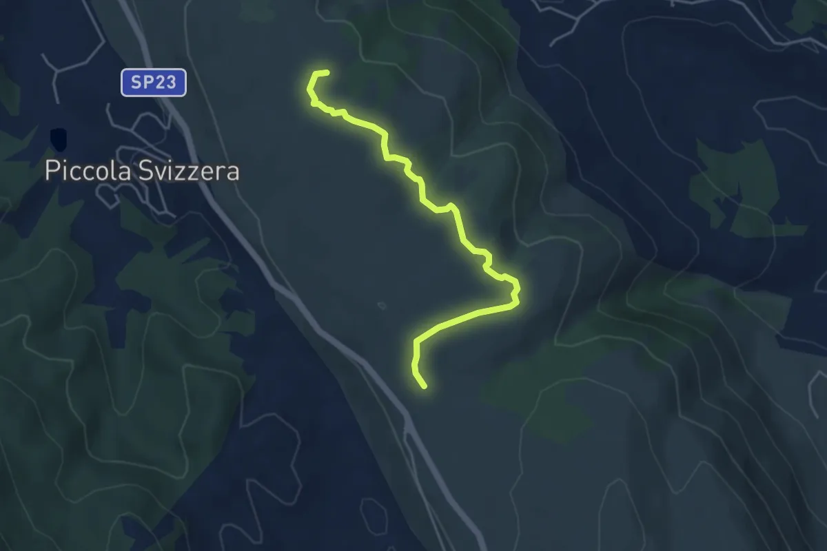
Easy · Summit
Piccola Svizzera - Tagliacozzo – Via della Legna passando per Monte la Difesa
4.6 km · ↑ 104 m · 1 h 18 min · 3 km away
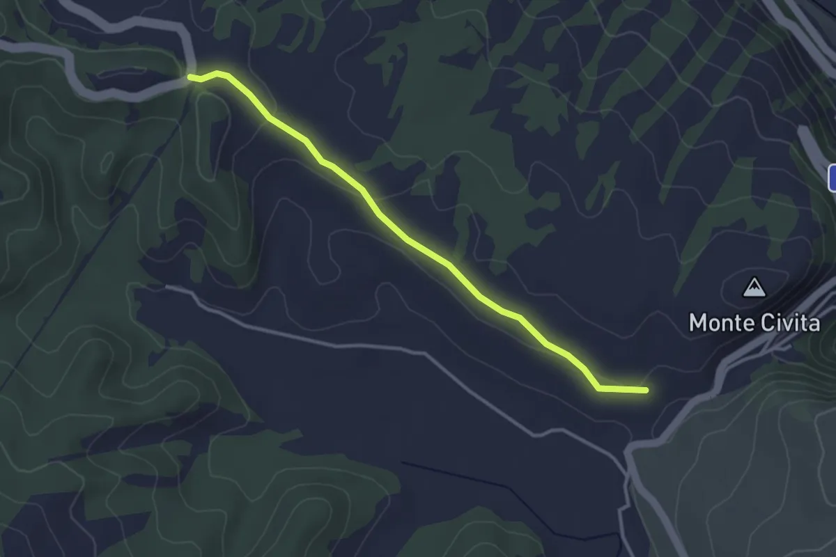
Easy · Trail
SR5 – Fonte Molanova
3.5 km · ↑ 85 m · 1 h 1 min · 3 km away
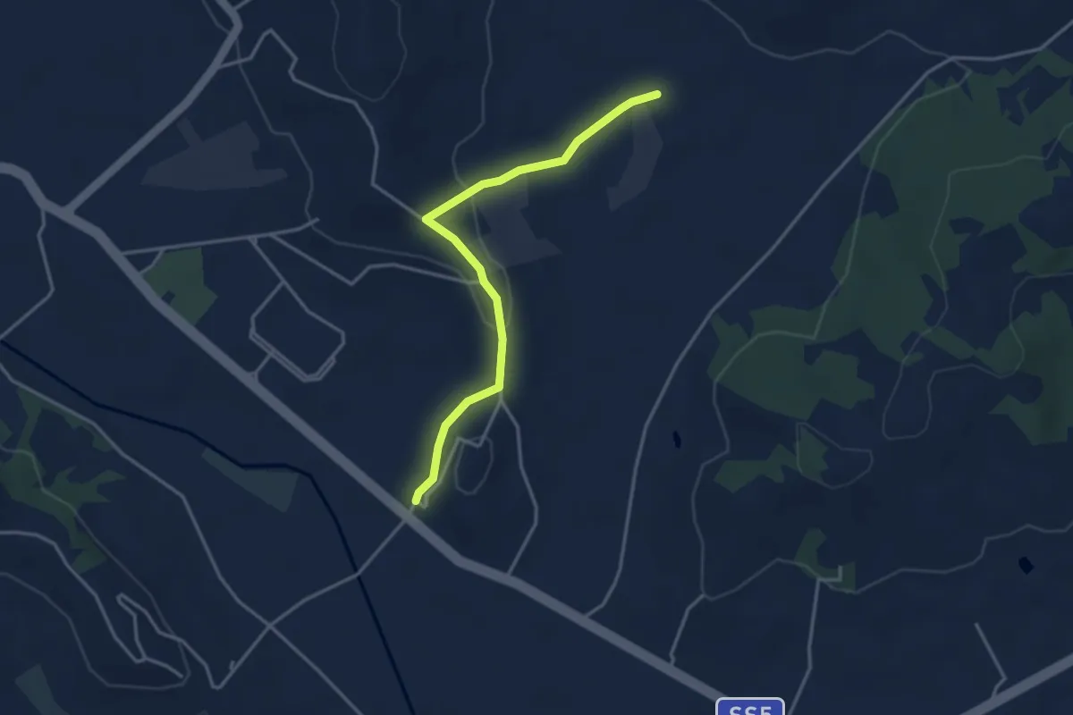
Easy · Trail
Cammino di San Tommaso
3.8 km · ↑ 84 m · 1 h 4 min · 3 km away
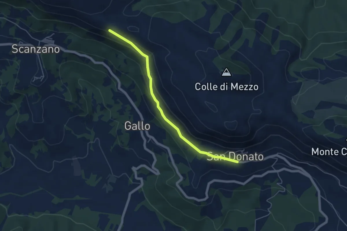
Easy · Trail
San Donato – CdB Cammino dei Briganti
4.8 km · ↑ 177 m · 1 h 32 min · 3 km away
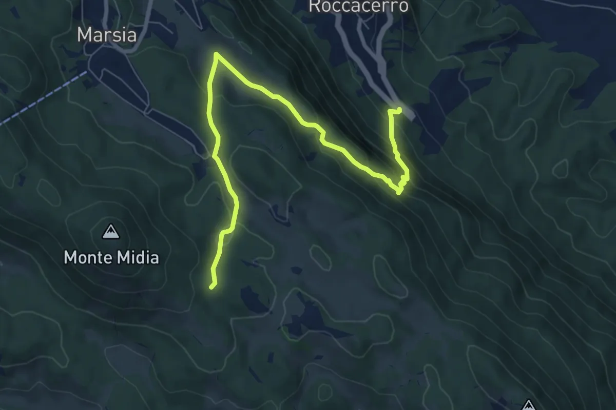
Medium · Trail
SR5 Roccacerro – Innesto sent. 517 (Marsia)
8.7 km · ↑ 503 m · 3 h 8 min · 4 km away
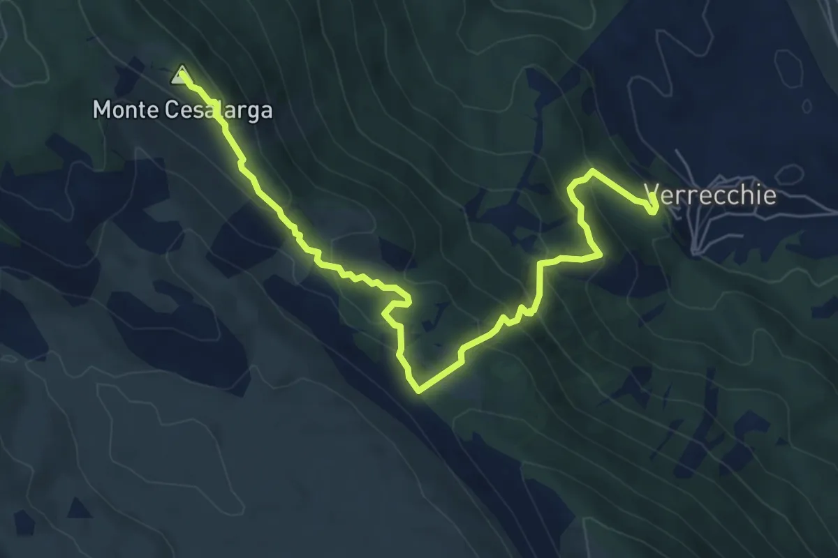
Medium · Summit
Verrecchie – Passo del taglietto
7.8 km · ↑ 538 m · 3 h · 4 km away
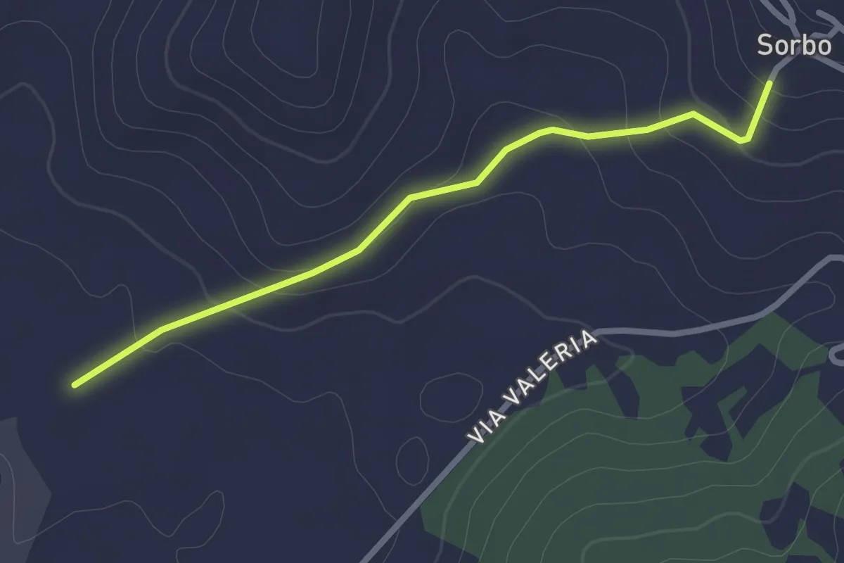
Easy · Trail
Cammino di San Tommaso
2.6 km · ↑ 89 m · 49 min · 4 km away
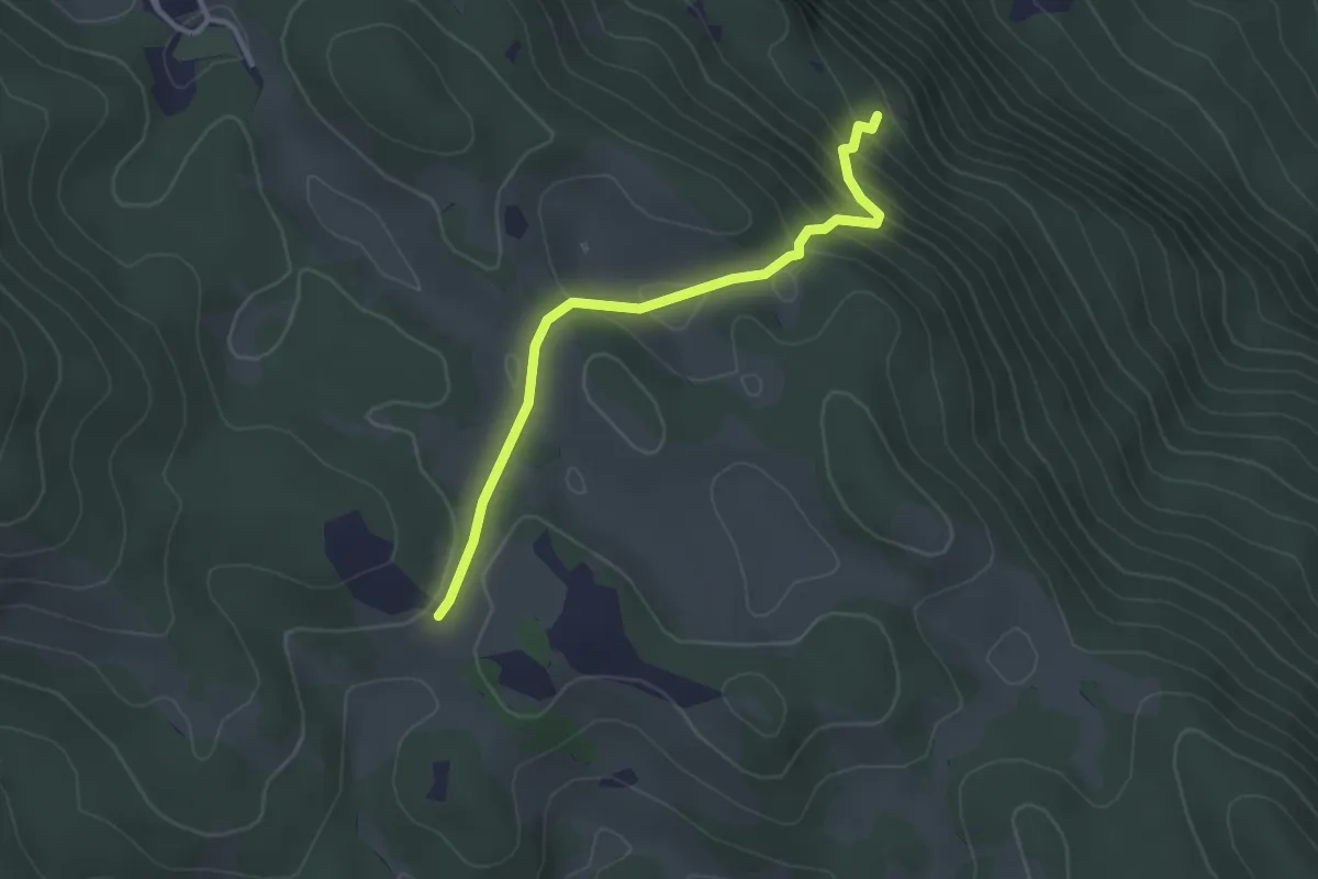
Easy · Trail
SR5 Roccacerro – Croce di Tufo
3.2 km · ↑ 213 m · 1 h 12 min · 4 km away
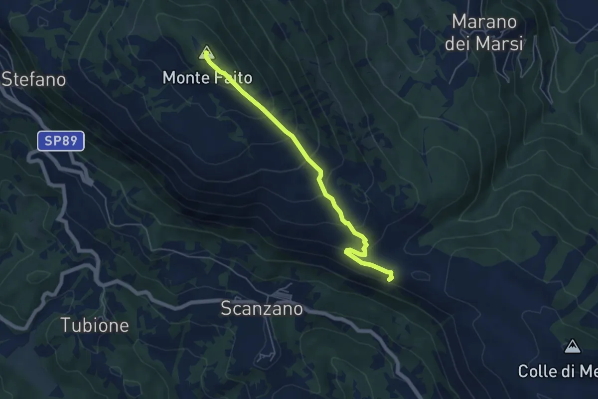
Medium · Summit
Bivio sentiero 540 Cammino dei Briganti – Santo Stefano
5.3 km · ↑ 389 m · 2 h 5 min · 4 km away
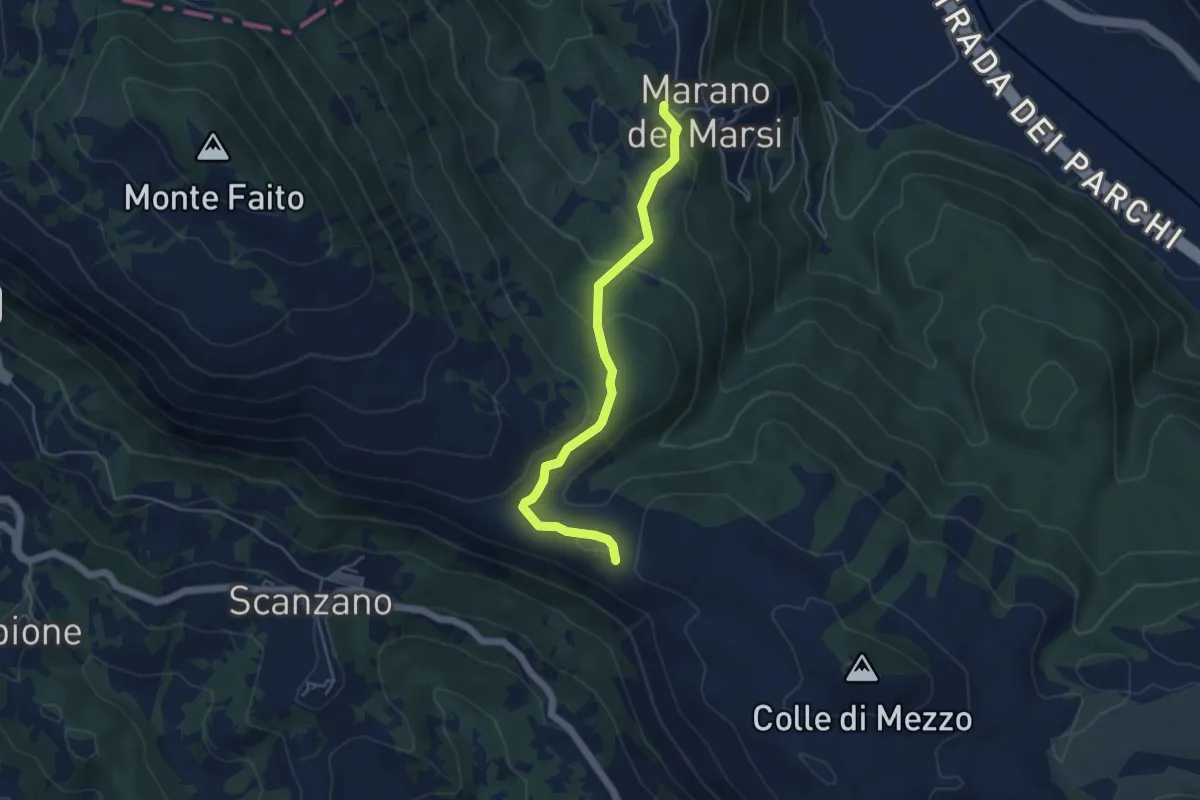
Easy · Trail
dal Cammino dei Briganti sent. 540 - punto Tabella – Marano
5.1 km · ↑ 214 m · 1 h 39 min · 4 km away
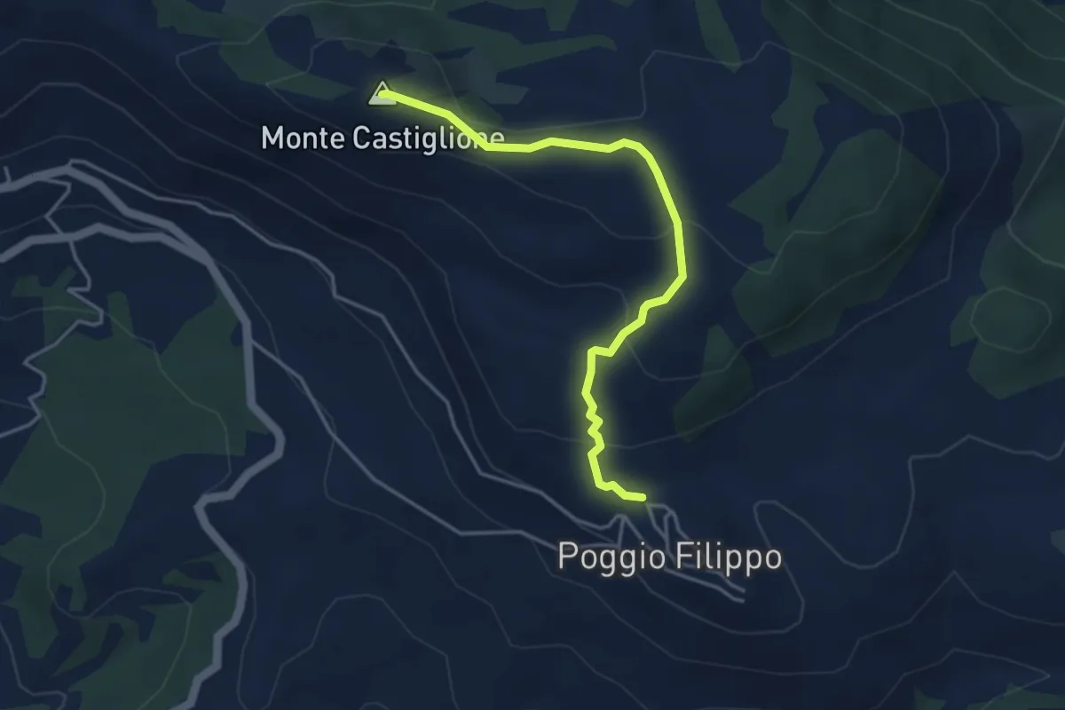
Easy · Summit
Poggiofilippo fontanile – Madonnina delle Nevi
4.2 km · ↑ 169 m · 1 h 22 min · 5 km away
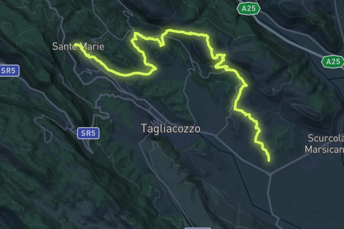
Demanding · Trail
Cammino dei Briganti - tappa 7
20.7 km · ↑ 694 m · 6 h 38 min · 5 km away
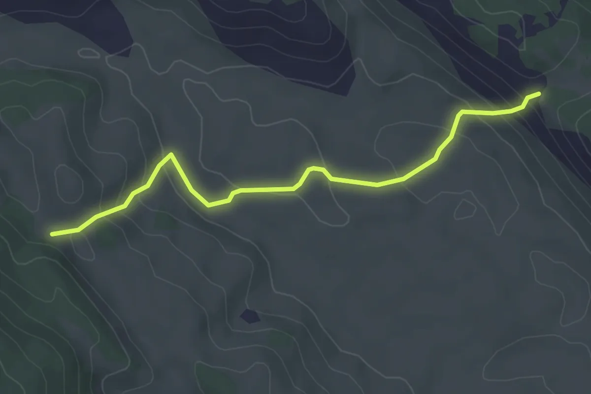
Easy · Cabin
La Via della Legna
4.4 km · ↑ 221 m · 1 h 32 min · 5 km away
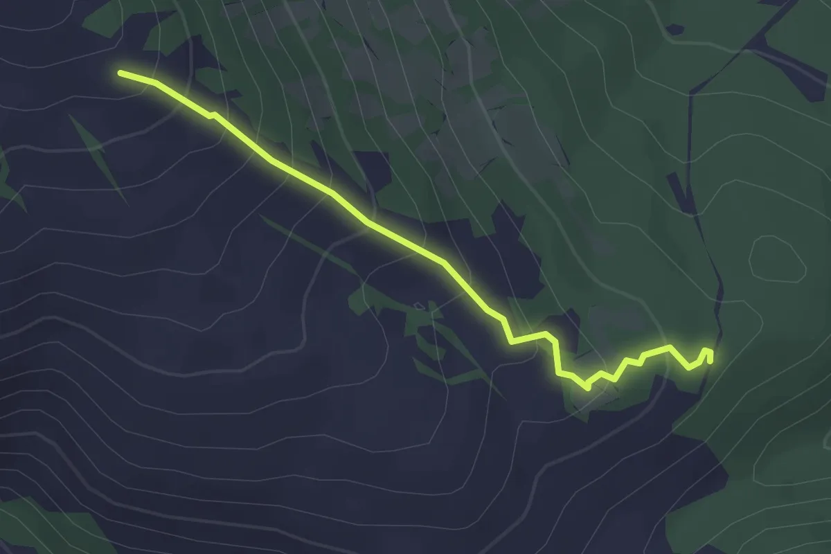
Easy · Trail
Bivio sent. 541 – Bivio sent. 540F
2.9 km · ↑ 234 m · 1 h 12 min · 5 km away
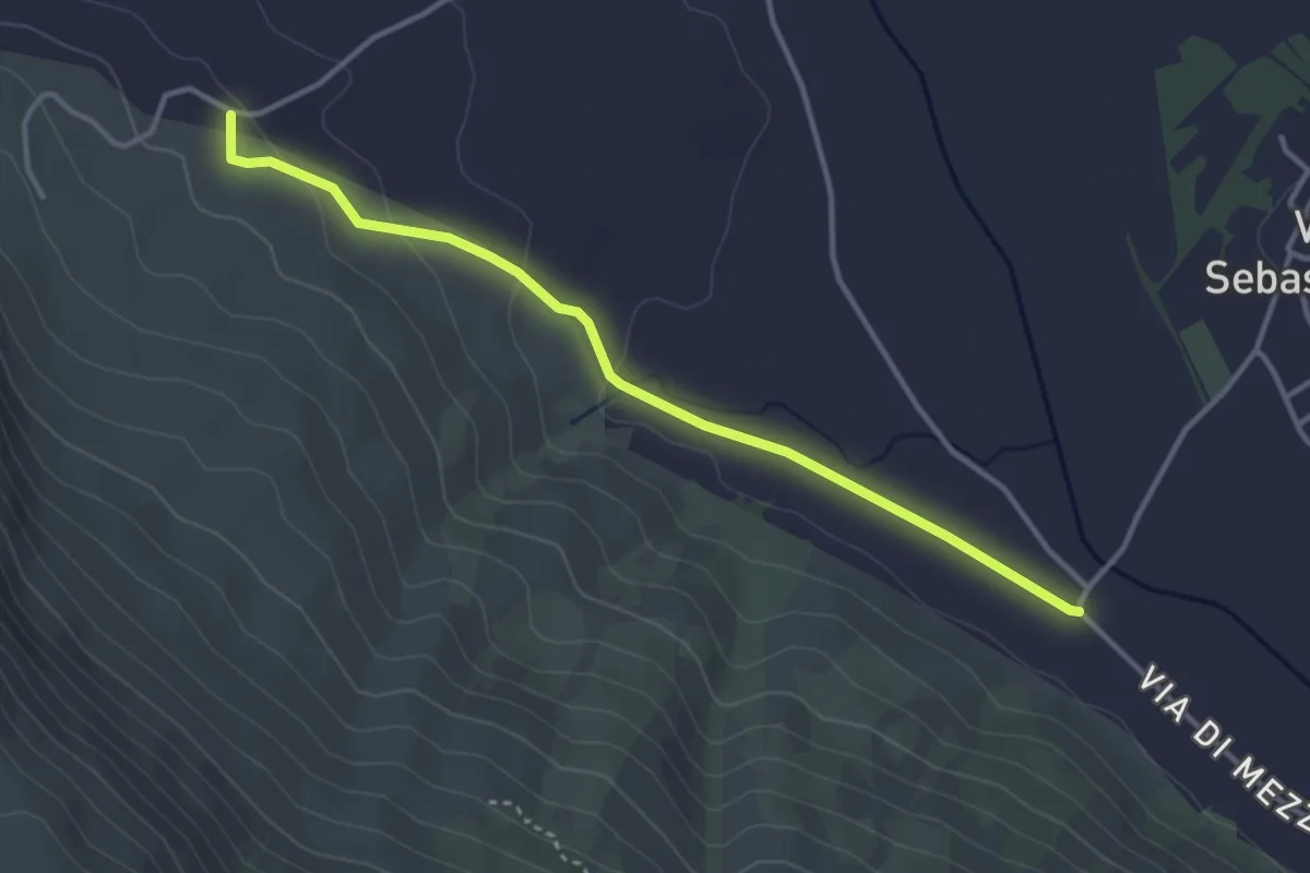
Easy · Trail
Strada comunale Villa San Sebastiano fraz. del Comune di Tagliacozzo – Camping La Contea (sent. 537B)
3.9 km · ↑ 68 m · 1 h 4 min · 5 km away
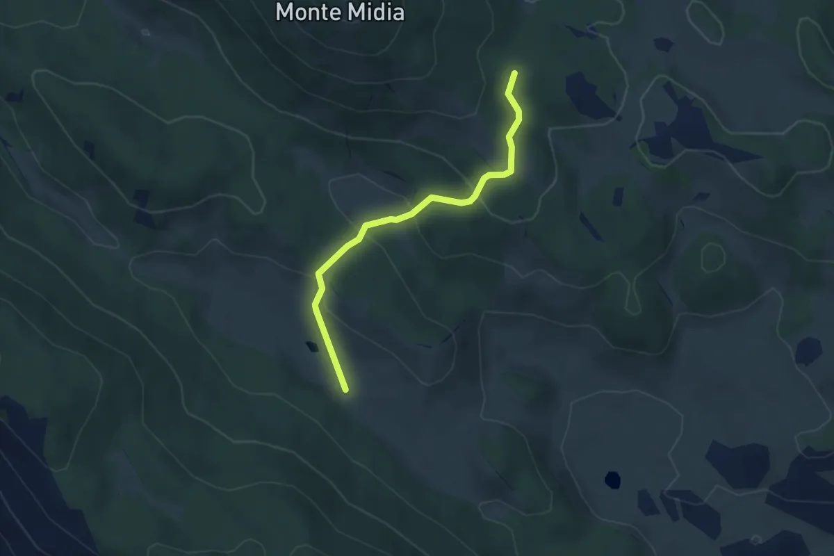
Easy · Cabin
Bivio sent. 514/517 - Marsia – Rifugio Acquaramata sent. 502
3.8 km · ↑ 140 m · 1 h 12 min · 5 km away
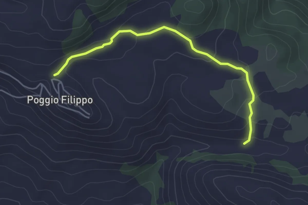
Easy · Trail
Poggiofilippo – Bivio CdB 540
4.4 km · ↑ 163 m · 1 h 24 min · 6 km away
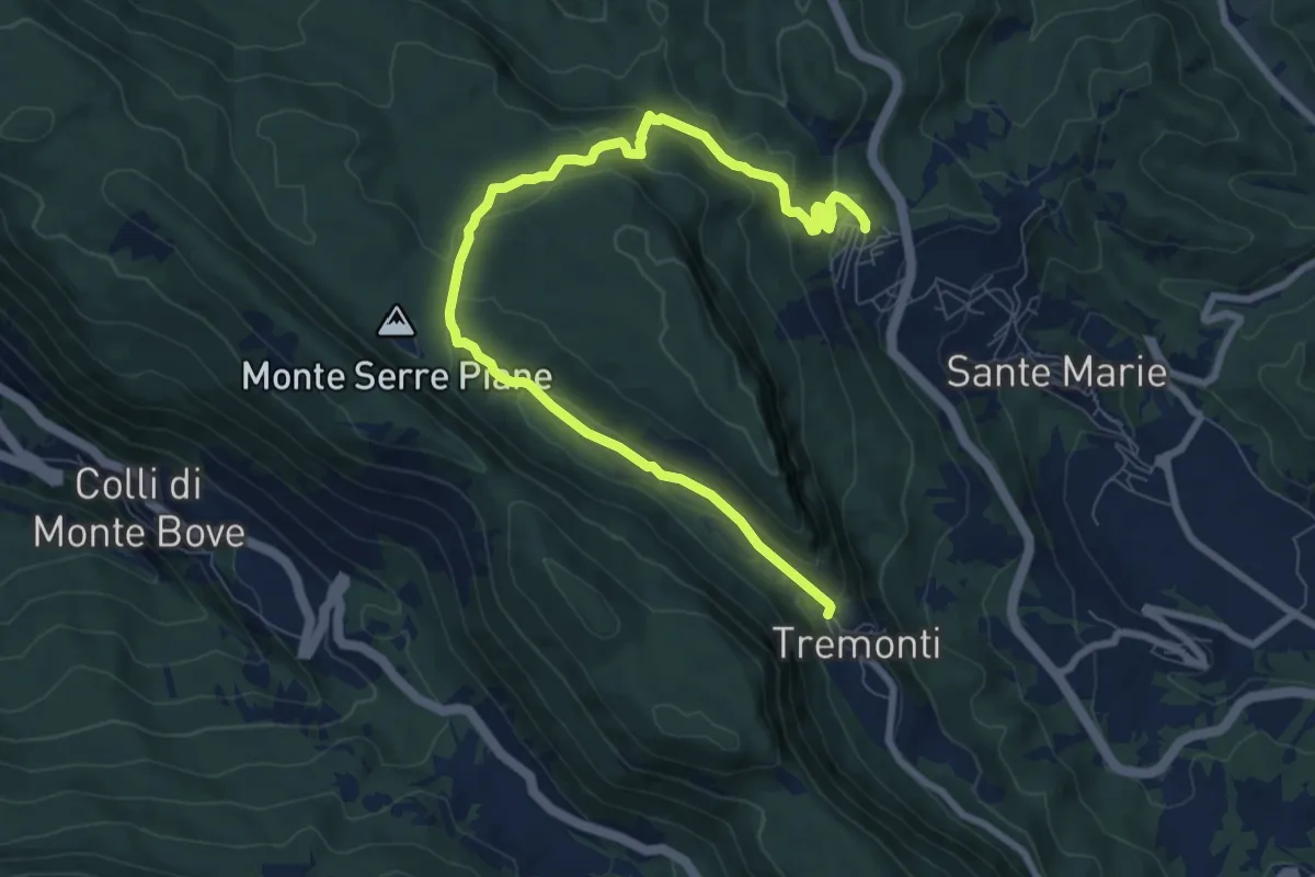
Medium · Trail
Tremonti/Sante Marie – Sante Marie/Tremonti
10.3 km · ↑ 352 m · 3 h 12 min · 6 km away
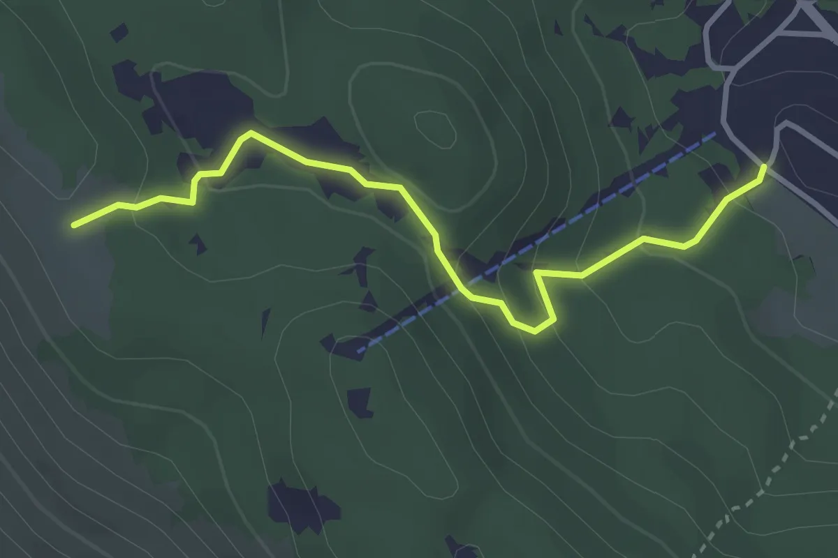
Easy · Trail
Marsia sbarra seggiovia – Cresta La Piccionara
3.4 km · ↑ 184 m · 1 h 12 min · 6 km away
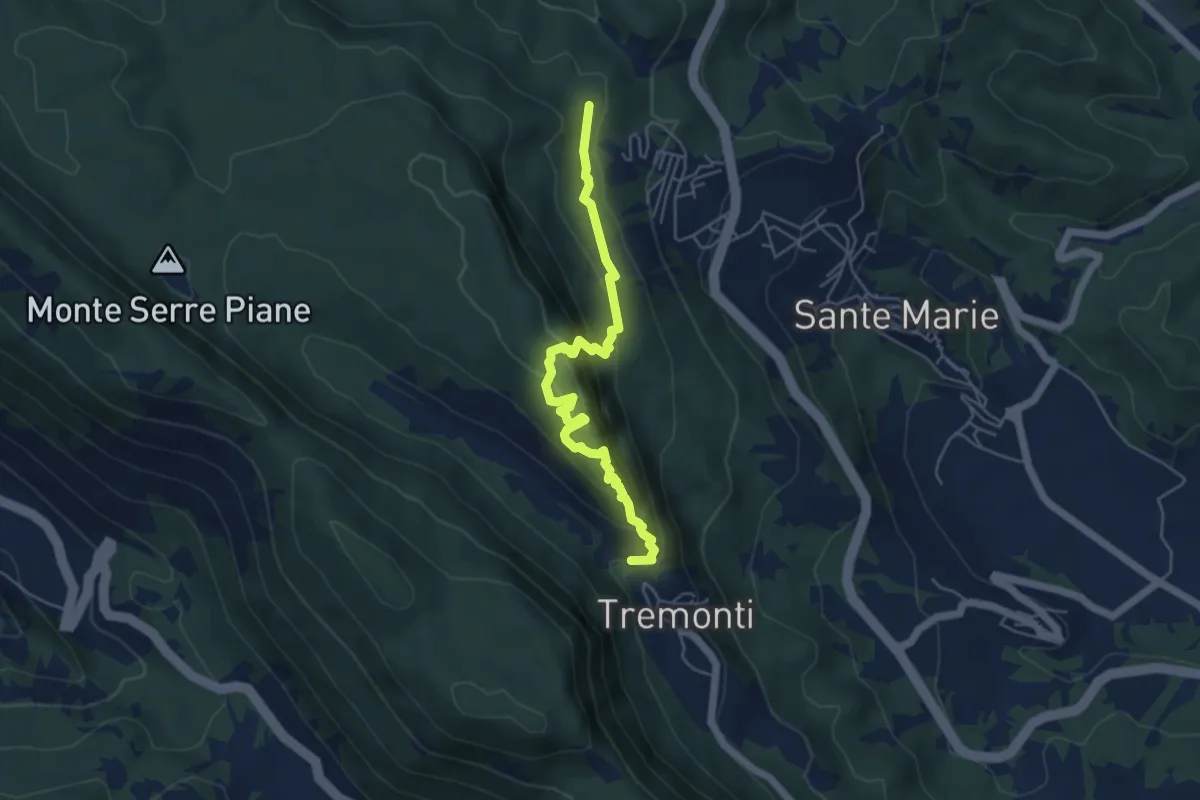
Medium · Trail
Tremonti – Sante Marie
5.6 km · ↑ 374 m · 2 h 8 min · 6 km away
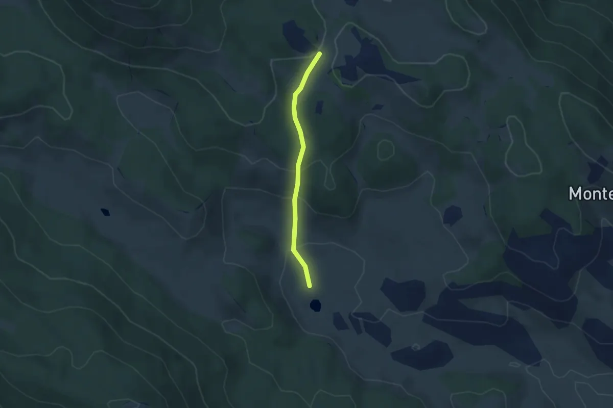
Easy · Trail
Croce di Tufo – Piana del Pozzo
2.9 km · ↑ 151 m · 1 h · 6 km away
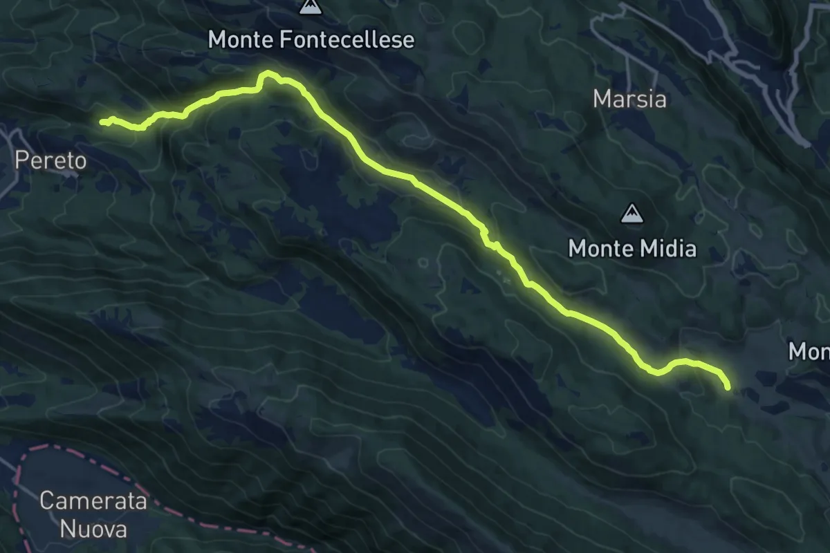
Demanding · Trail
Pereto – Piana del Pozzo
19.4 km · ↑ 874 m · 6 h 29 min · 6 km away
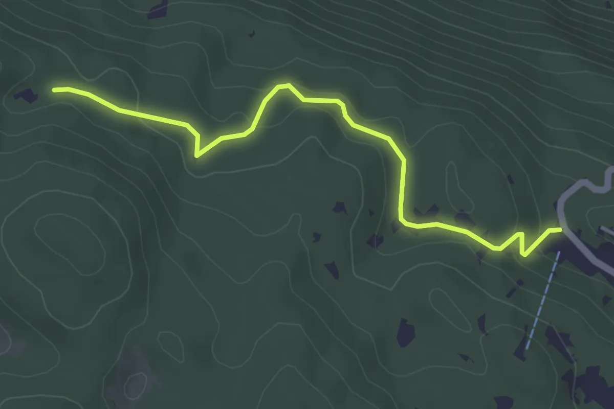
Easy · Trail
Marsia – Cippo Giovanni Nazzaro
4.3 km · ↑ 143 m · 1 h 19 min · 6 km away
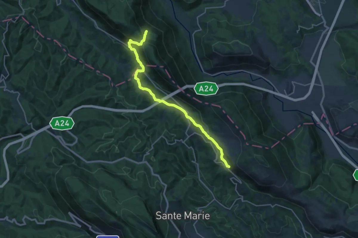
Demanding · Trail
Cammino dei Briganti - tappa 2
18.4 km · ↑ 715 m · 5 h 54 min · 6 km away
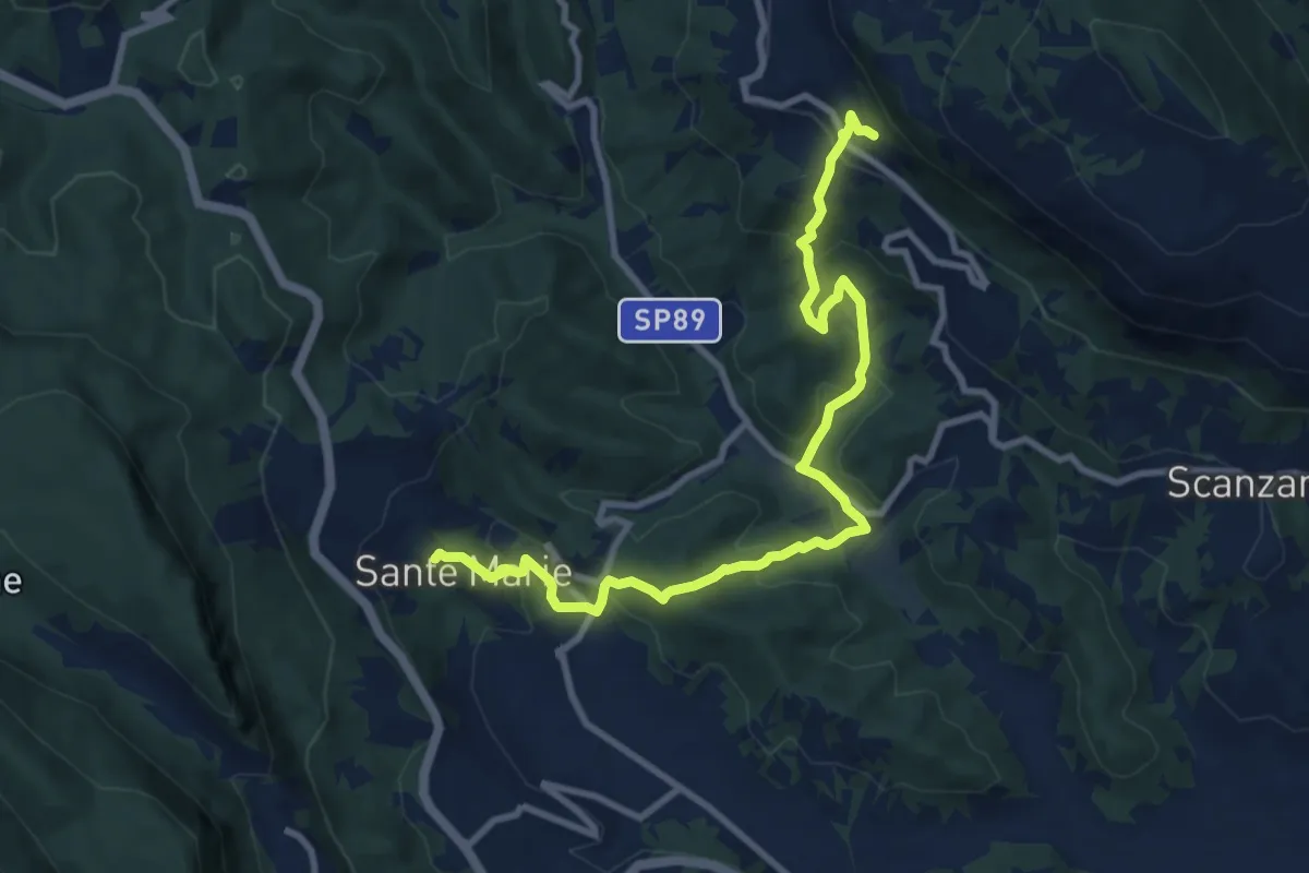
Medium · Trail
Cammino dei Briganti - tappa 1
11.2 km · ↑ 588 m · 3 h 56 min · 6 km away
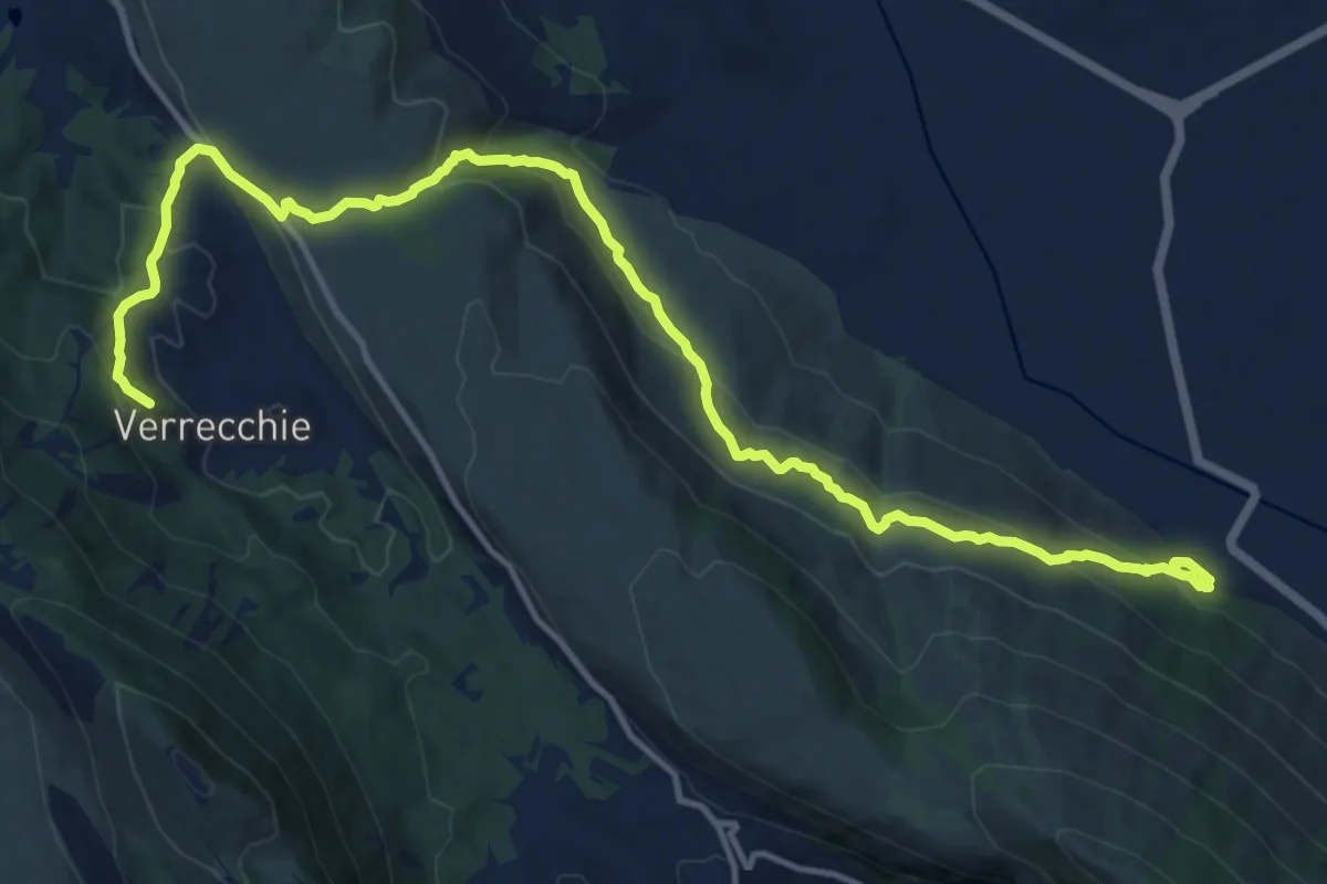
Demanding · Trail
La Via della Legna
17.6 km · ↑ 876 m · 6 h 3 min · 6 km away
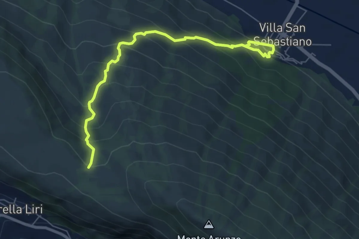
Medium · Trail
Villa San Sebastiano – Monte Valminiera
6.4 km · ↑ 549 m · 2 h 42 min · 6 km away
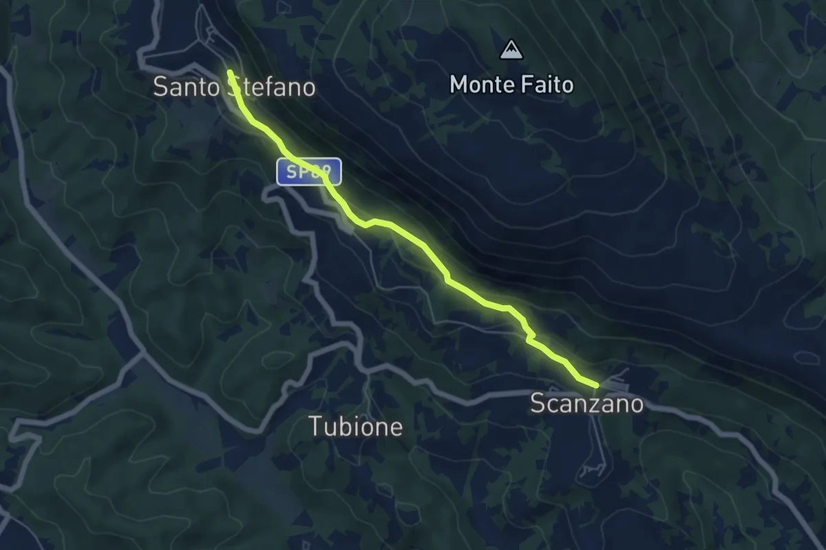
Easy · Trail
Scanzano – Santo Stefano
5.5 km · ↑ 238 m · 1 h 49 min · 6 km away
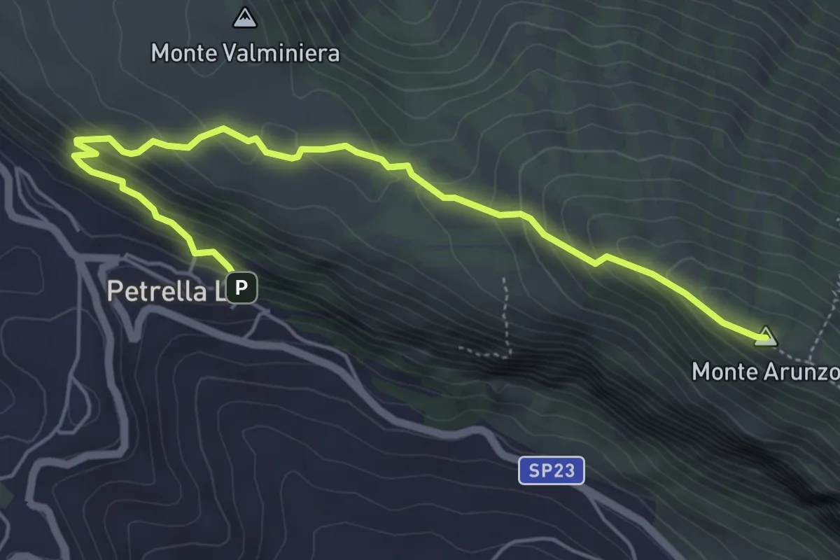
Medium · Summit
Petrella Liri - Parcheggio – Sella Girifalco (Corcumello)
6.2 km · ↑ 389 m · 2 h 18 min · 6 km away
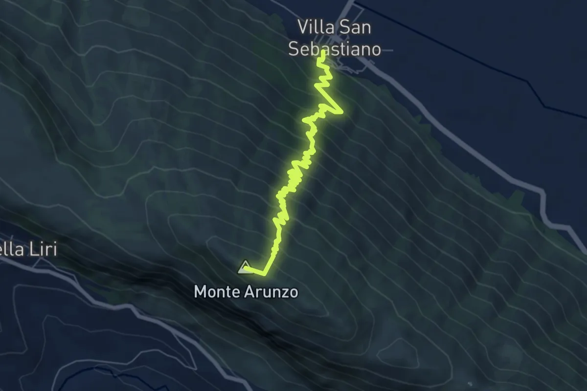
Medium · Summit
Villa San Sebastiano – Monte Arunzo
7.9 km · ↑ 723 m · 3 h 25 min · 6 km away
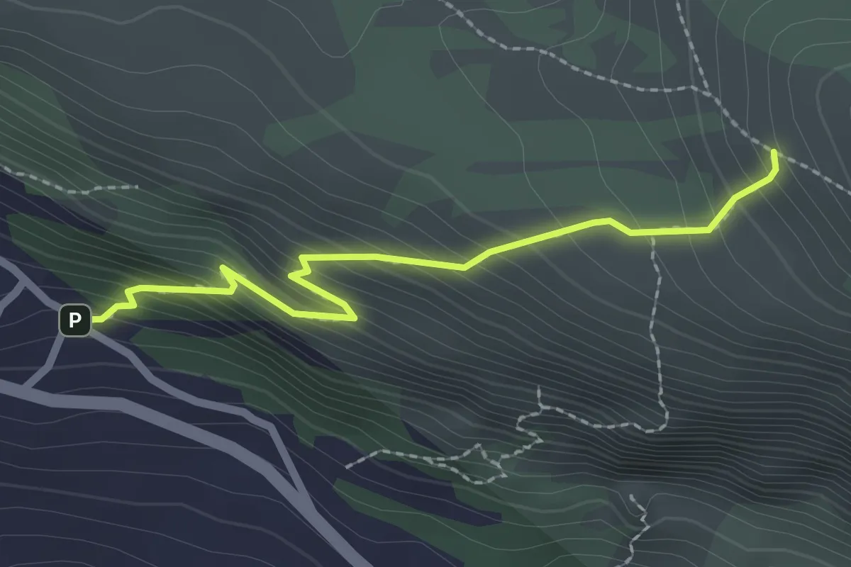
Easy · Trail
Petrella Liri Via Rapina – Sent. 576
2.4 km · ↑ 279 m · 1 h 10 min · 6 km away
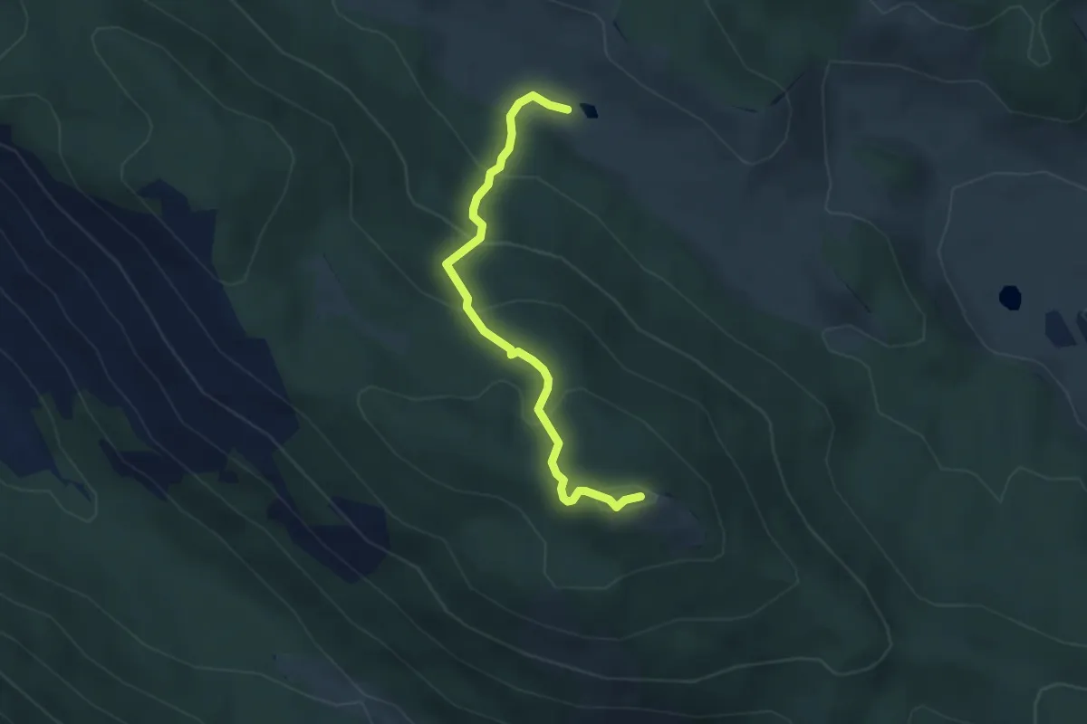
Easy · Summit
Monte Cacume
3.8 km · ↑ 238 m · 1 h 24 min · 7 km away
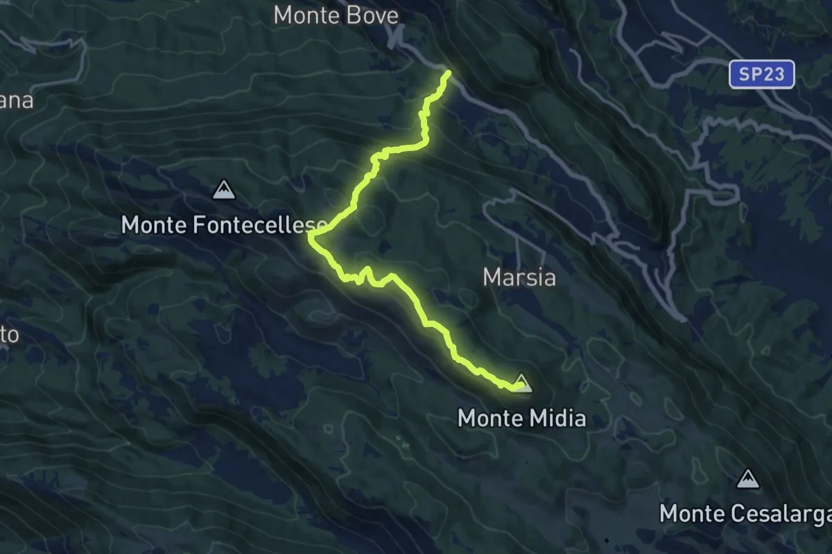
Demanding · Summit
SR5 Colli di Monte Bove – Monte Midia
15.5 km · ↑ 897 m · 5 h 36 min · 7 km away
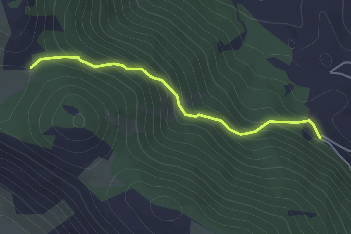
Easy · Trail
Cappadocia loc. Le Menarda – Bivio sent. 512 per Monte Padiglione
3.3 km · ↑ 263 m · 1 h 21 min · 7 km away
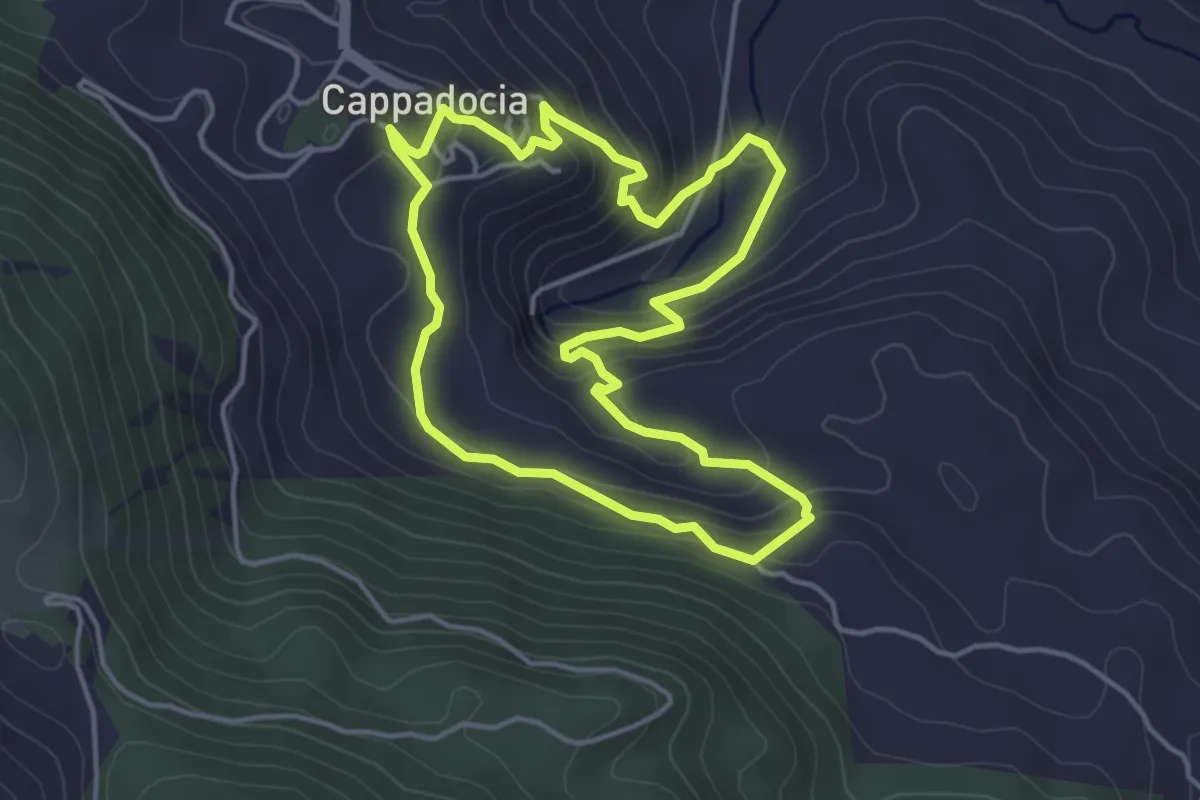
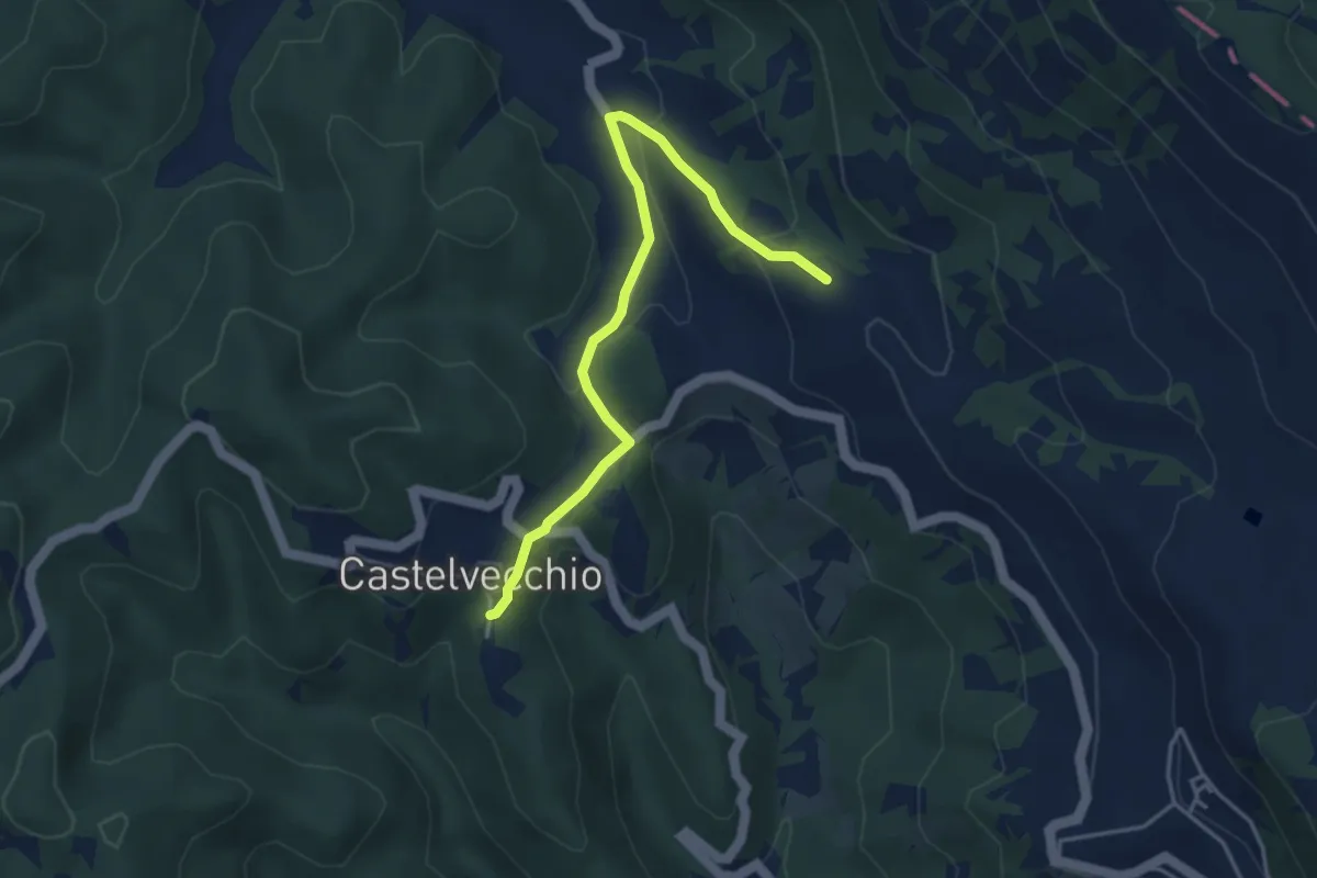
Easy · Trail
Sentiero di San Tommaso
4.4 km · ↑ 287 m · 1 h 43 min · 8 km away
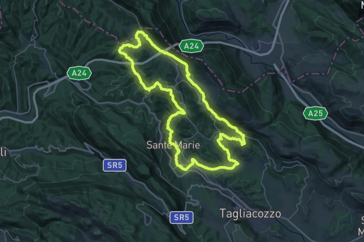
Easy · Trail
Sentiero Corradino - Variante
2.2 km · ↑ 86 m · 44 min · 8 km away
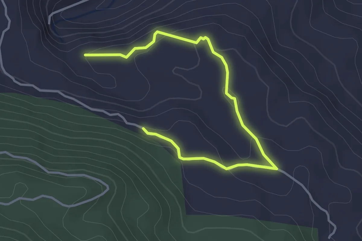
Demanding · Summit
Sentiero Corradino
29.8 km · ↑ 989 m · 9 h 35 min · 8 km away
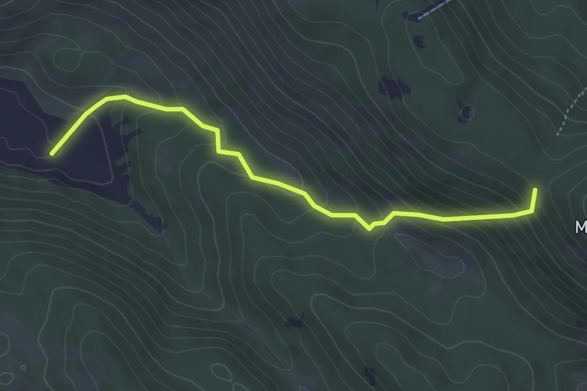
Easy · Trail
Sentiero di Padre Pio
2.1 km · ↑ 125 m · 45 min · 8 km away
Medium · Trail
Sent. 502 – Sent. 516
4.8 km · ↑ 365 m · 1 h 55 min · 8 km away
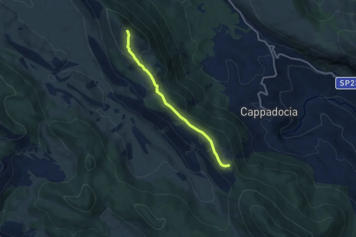
Medium · Summit
Valico La Serra – Le Fossette
6.9 km · ↑ 456 m · 2 h 36 min · 8 km away
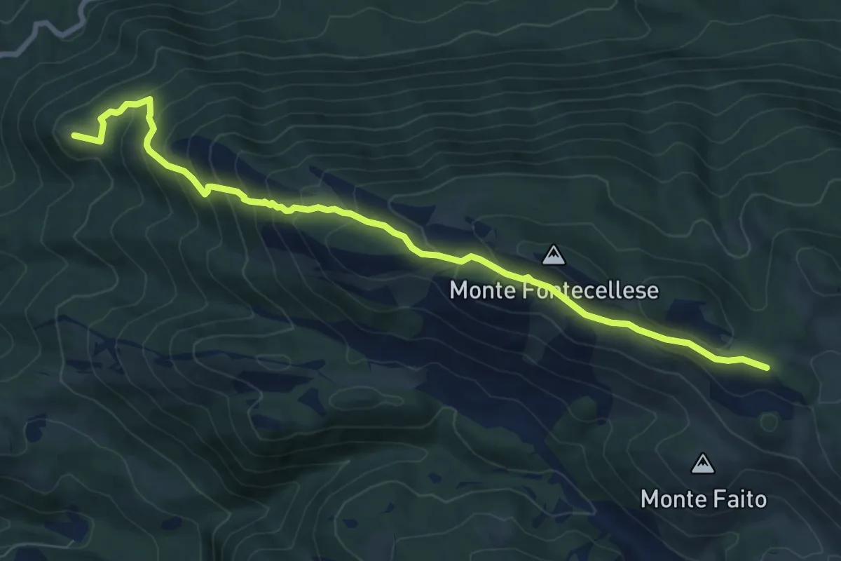
Medium · Summit
Dal SI di Villaromana – al sentiero 516 passando per Monte Fontecellese
9.2 km · ↑ 629 m · 3 h 32 min · 8 km away
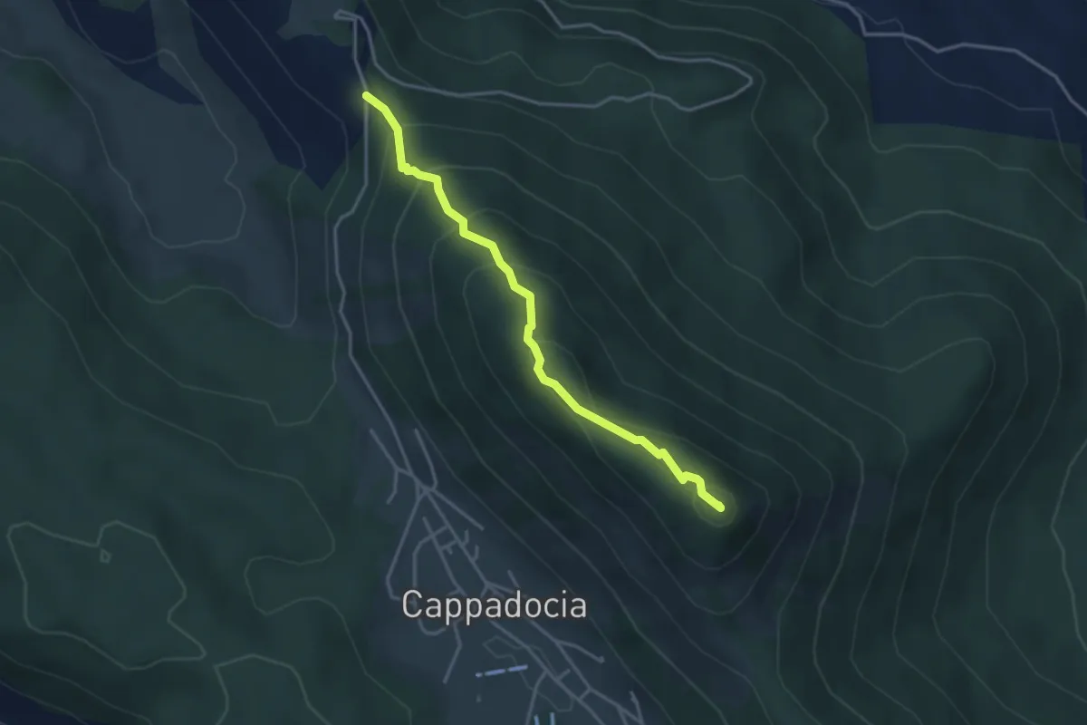
Easy · Summit
Monte Camiciola
3.7 km · ↑ 272 m · 1 h 28 min · 8 km away
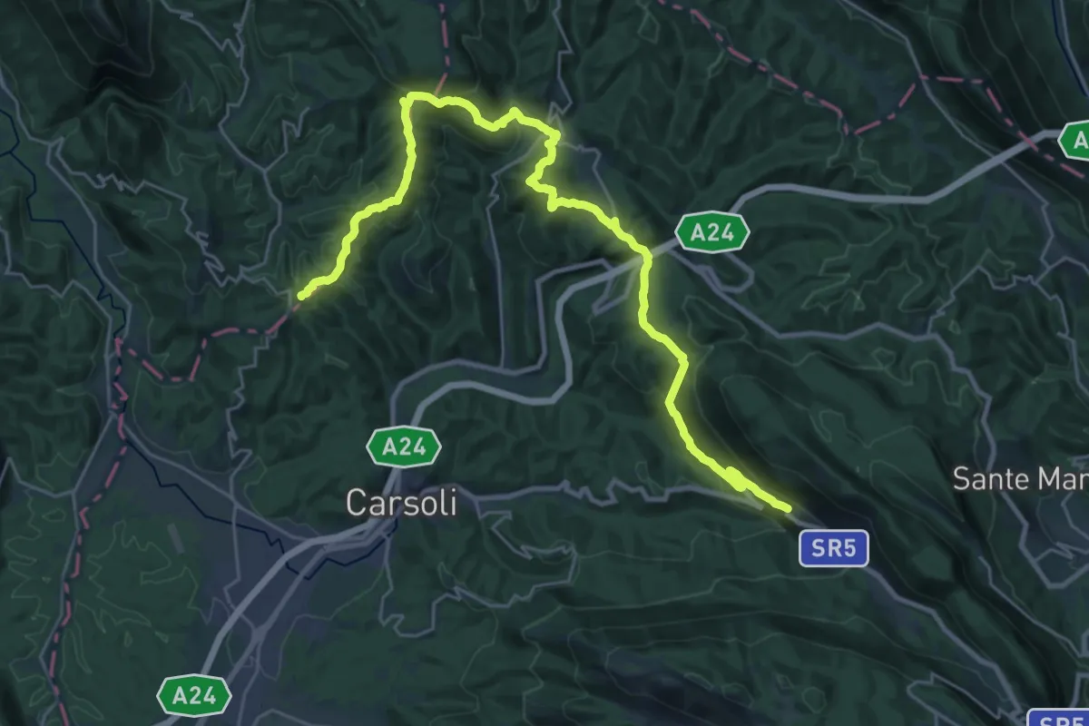
Demanding · Summit
Cammino del Cavaliere - Tappa 2
33.7 km · ↑ 1218 m · 10 h 36 min · 9 km away