Trails near Taormina
40 hikes starting within 15 km, nearest first.
Nearest first
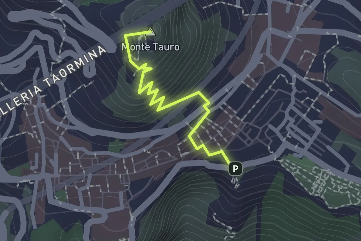
Easy · Summit
Taormina – Castelmola
2.0 km · ↑ 183 m · 52 min · under 1 km away
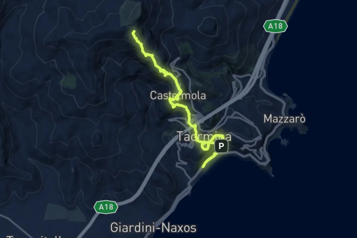
Demanding · Summit
Sentiero delle Ginestre tappa n. 6
15.3 km · ↑ 1323 m · 6 h 29 min · under 1 km away
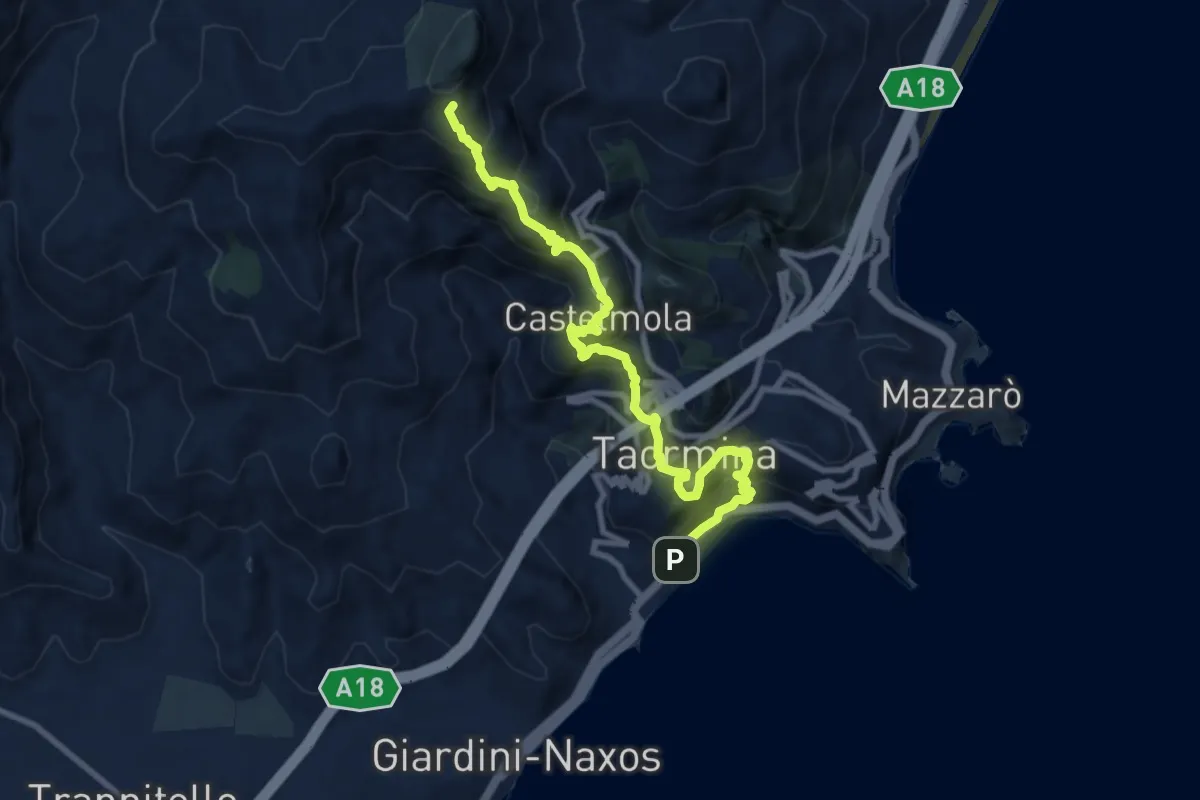
Demanding · Summit
Taormina Stazione FF.SS. – Gallodoro
11.4 km · ↑ 964 m · 4 h 47 min · 1 km away
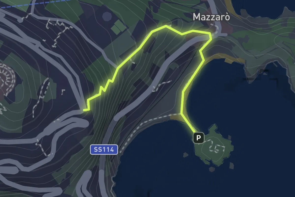
Easy · Trail
Taormina Isola Bella
2.1 km · ↑ 171 m · 52 min · 2 km away
Easy · Trail
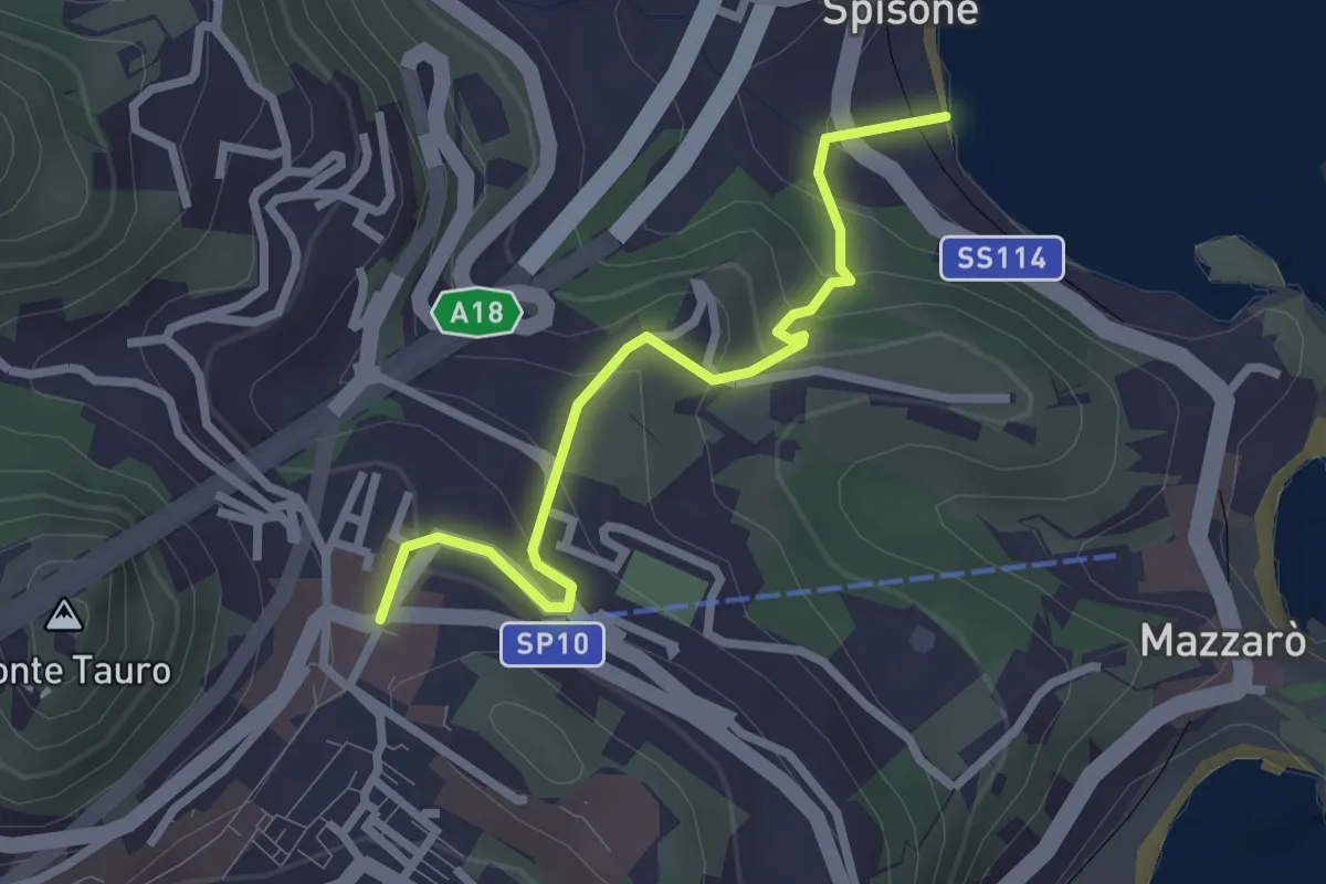
Vallone Castagna
2.9 km · ↑ 220 m · 1 h 9 min · 2 km away
Medium · Trail
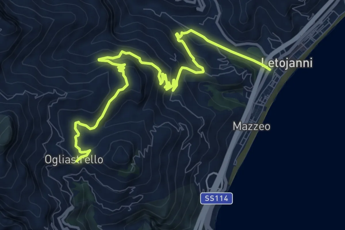
Ogliastrello – Letojanni
13.4 km · ↑ 768 m · 4 h 50 min · 2 km away
Medium · Trail
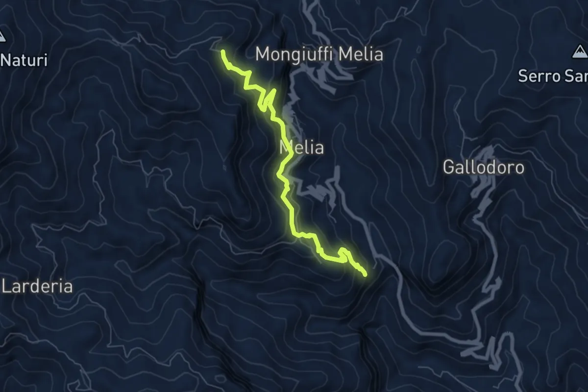
Postoleone libera melia Santuario Catena
7.4 km · ↑ 526 m · 2 h 54 min · 5 km away
Demanding · Trail
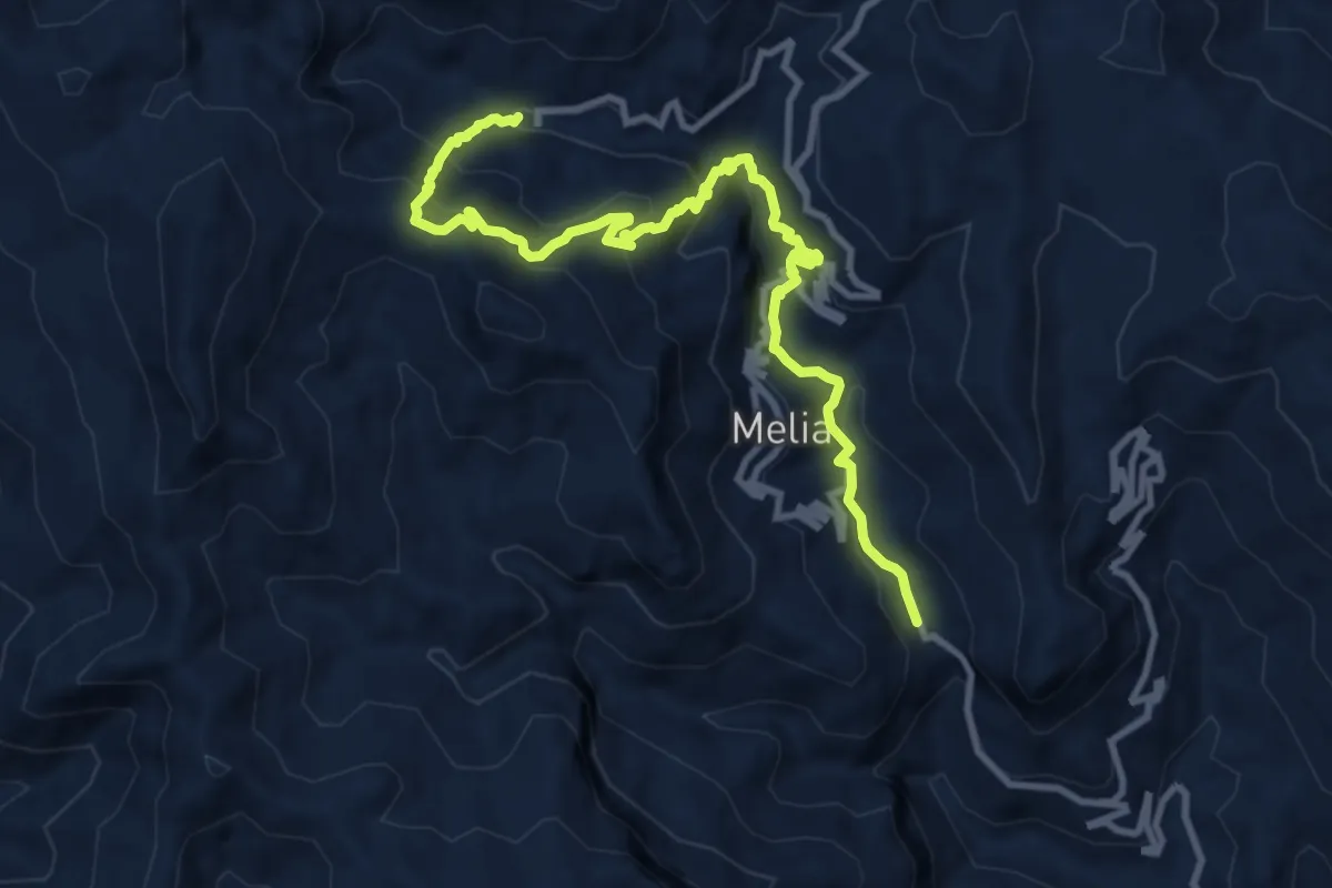
Postoleone Mongiuffi scala saracena santuario della Catena
12.9 km · ↑ 978 m · 5 h 10 min · 5 km away
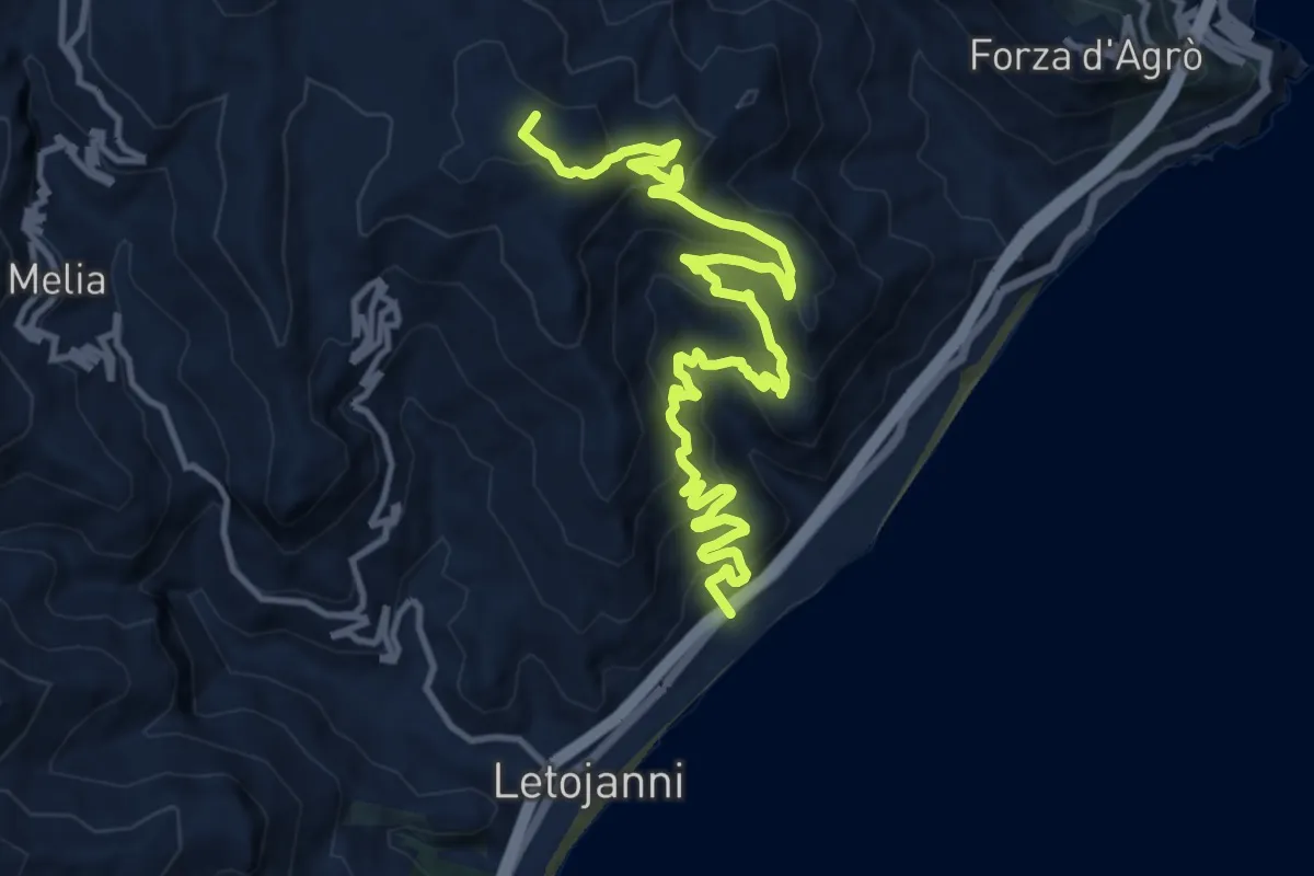
Demanding · Summit
Letojanni Piano Margi
16.7 km · ↑ 1012 m · 6 h 8 min · 5 km away
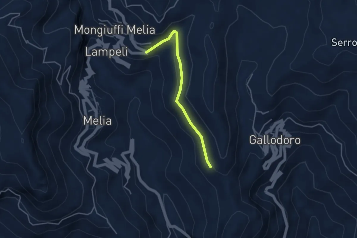
Easy · Trail
Gallodoro - Mongiuffi
3.3 km · ↑ 88 m · 58 min · 5 km away
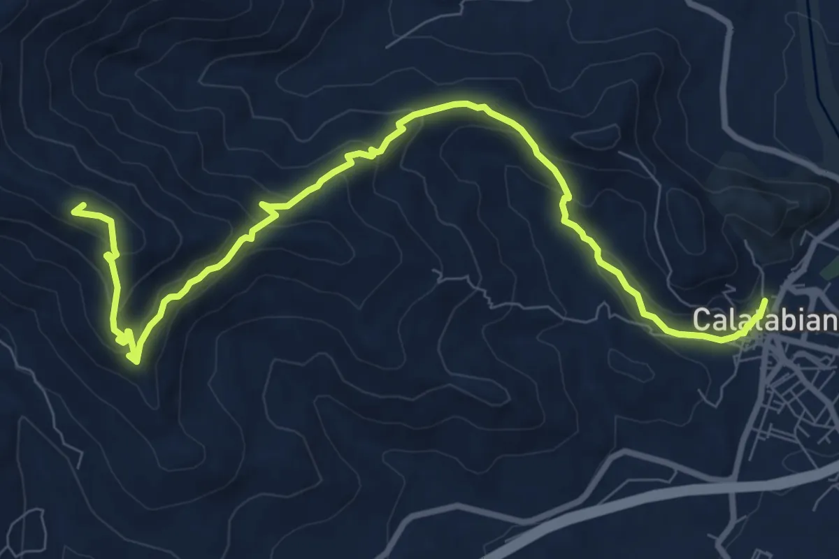
Medium · Summit
Sentiero del Pellegrino
11.6 km · ↑ 558 m · 3 h 57 min · 6 km away
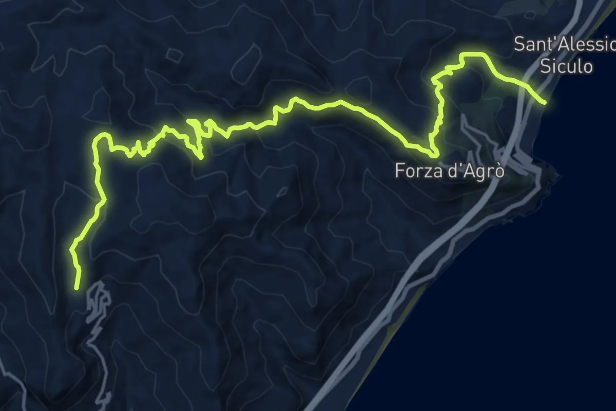
Demanding · Trail
Sant'Alessio Gallodoro
20.3 km · ↑ 1159 m · 7 h 19 min · 6 km away
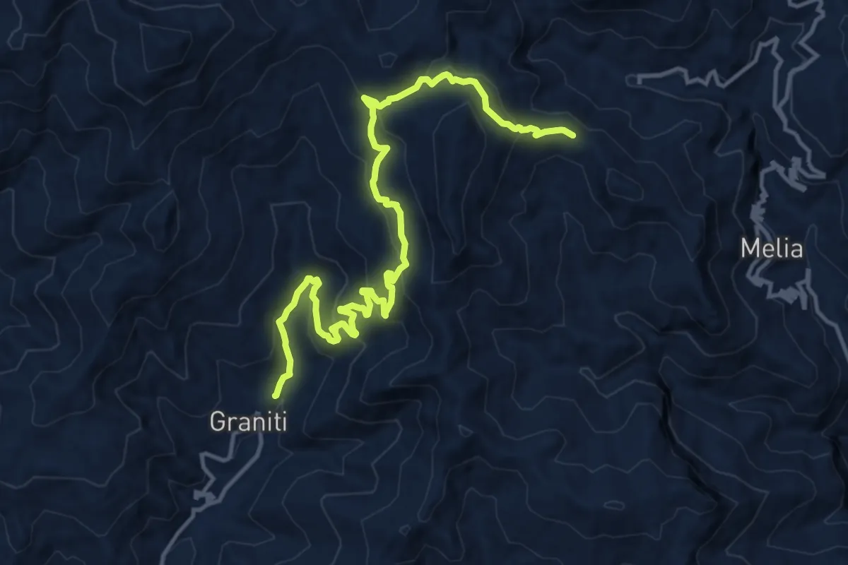
Demanding · Trail
Graniti Madonna della Catena
16.4 km · ↑ 910 m · 5 h 50 min · 7 km away
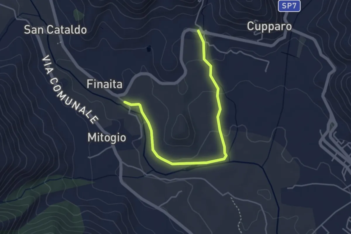
Easy · Trail
Sentiero Rive dell'Alcantara
4.6 km · ↑ 85 m · 1 h 16 min · 7 km away
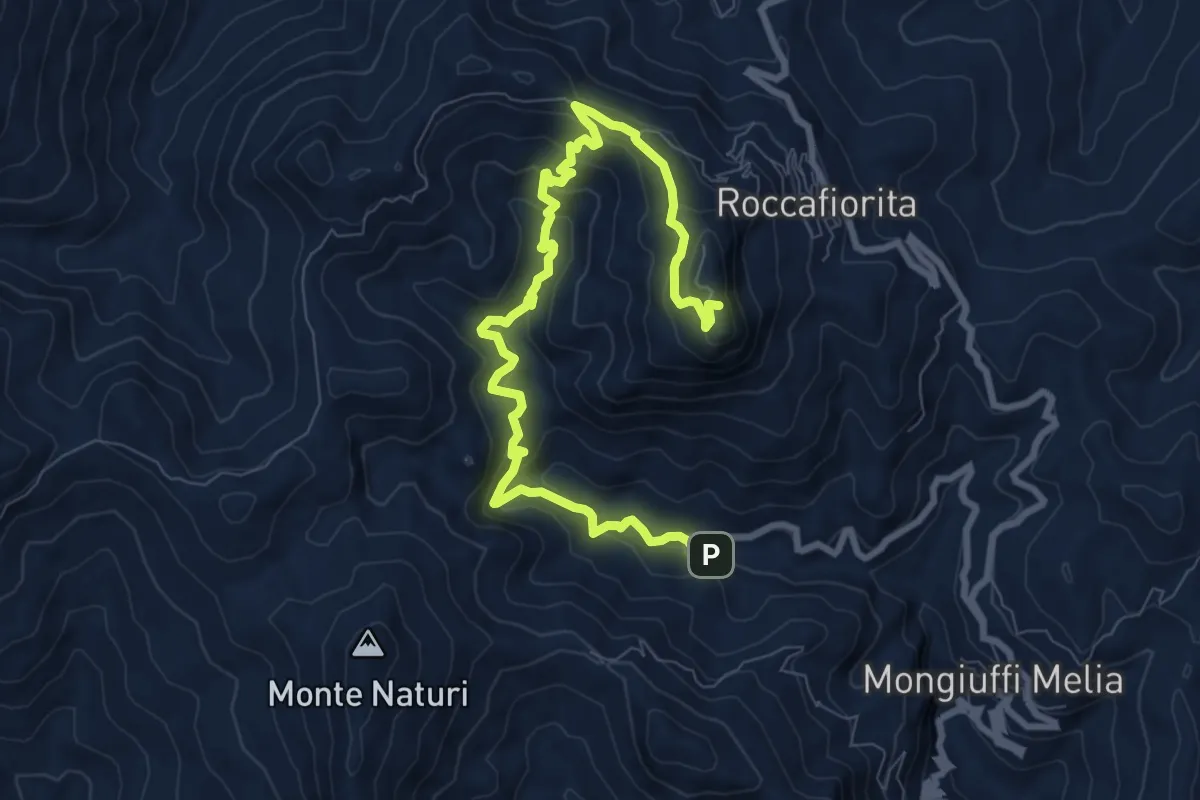
Medium · Summit
Madonna della Catena monte Kalfa
11.6 km · ↑ 643 m · 4 h 8 min · 7 km away
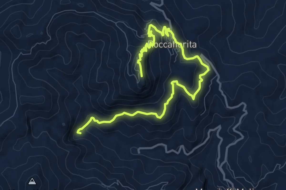
Medium · Summit
Madonna della catena Roccafiorita monte Kalfa
12.3 km · ↑ 795 m · 4 h 38 min · 8 km away
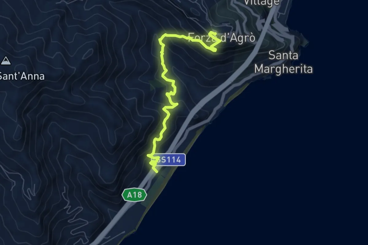
Medium · Trail
Forza d'Agrò-Piatrabianca
8.0 km · ↑ 656 m · 3 h 19 min · 8 km away
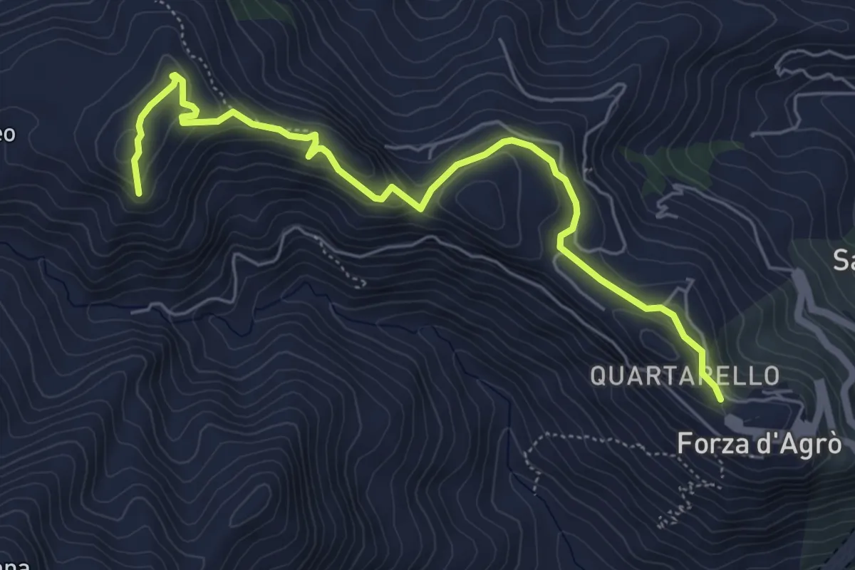
Easy · Summit
Sentiero Forza d'Agrò-Monte Recavallo
7.1 km · ↑ 307 m · 2 h 20 min · 8 km away
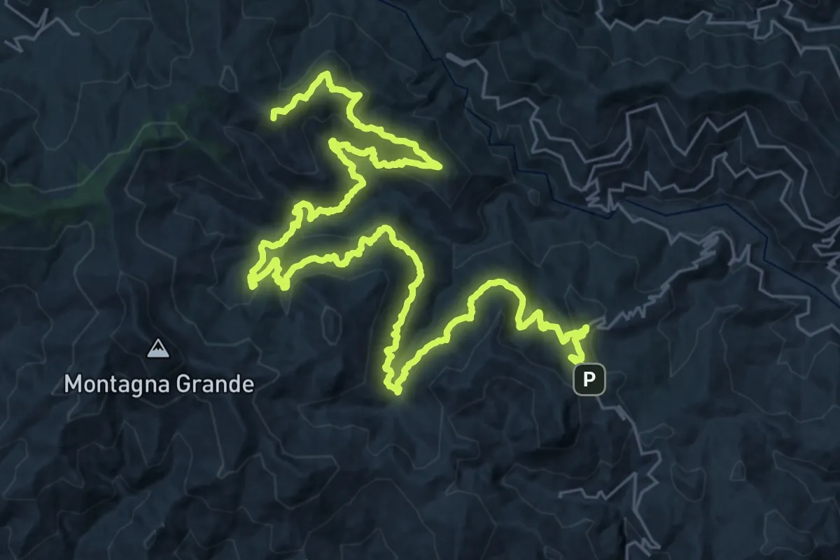
Demanding · Summit
Roccafiorita Sentiero Italia
49.0 km · ↑ 2414 m · 16 h 48 min · 9 km away
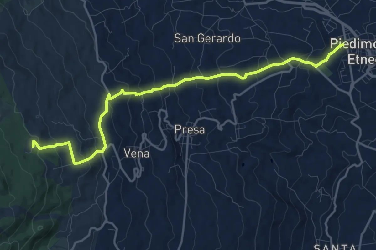
Medium · Trail
Piedimonte Etneo - Case Bevacqua
13.3 km · ↑ 667 m · 4 h 35 min · 11 km away
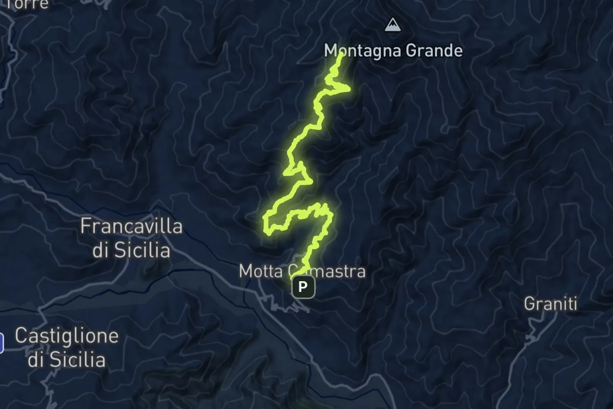
Demanding · Summit
Motta Camastra Montagna Grande Variante Ovest
22.9 km · ↑ 1395 m · 8 h 26 min · 11 km away
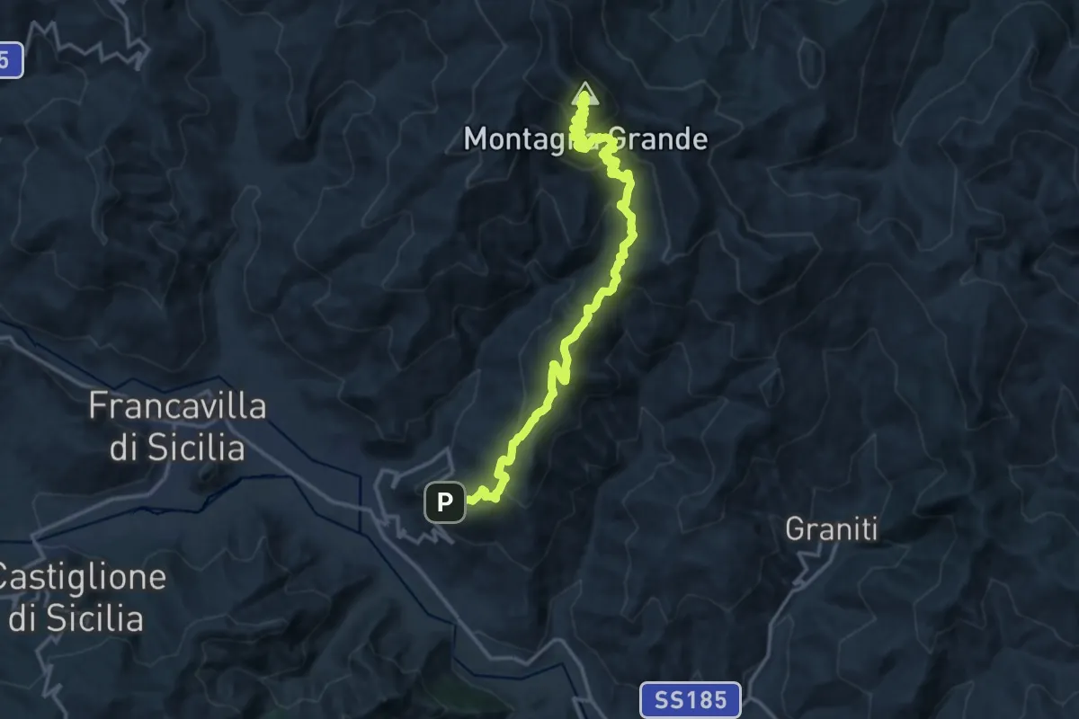
Demanding · Summit
Motta Camastra-Portella Tre Fontane-Chiesa
19.0 km · ↑ 1284 m · 7 h 16 min · 11 km away
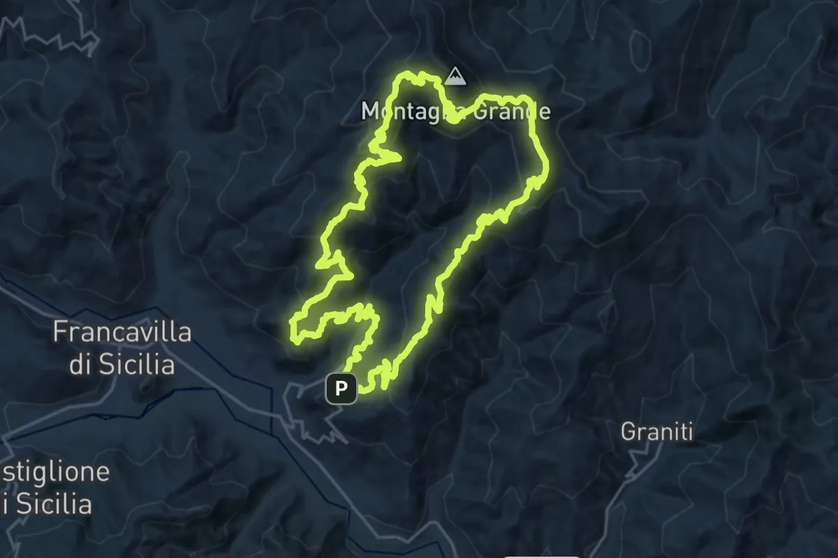
Demanding · Summit
Sentiero di Montagna Grande
23.4 km · ↑ 1408 m · 8 h 54 min · 11 km away
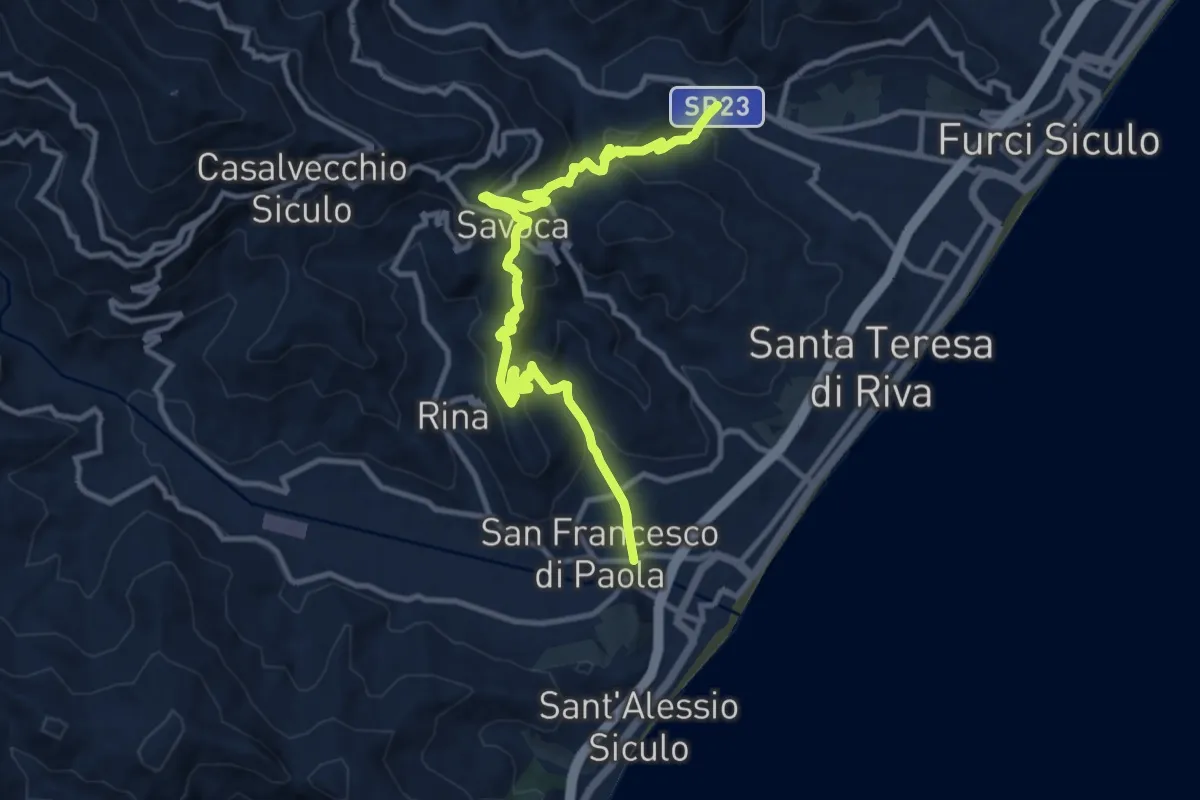
Medium · Trail
Giardino Savoca Agrò
14.0 km · ↑ 743 m · 4 h 55 min · 11 km away
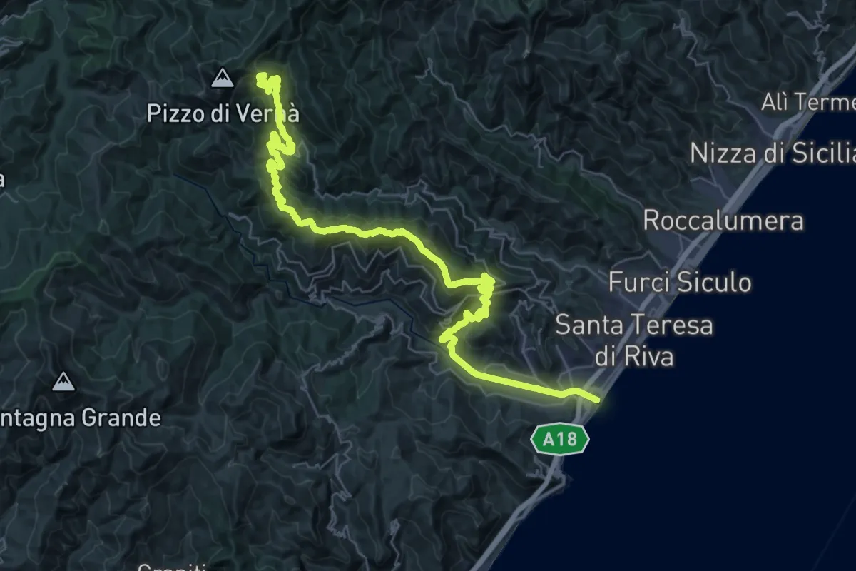
Demanding · Summit
Foce Fiumara d'Agrò - Casalvecchio - Vernà
50.7 km · ↑ 2054 m · 16 h 25 min · 11 km away
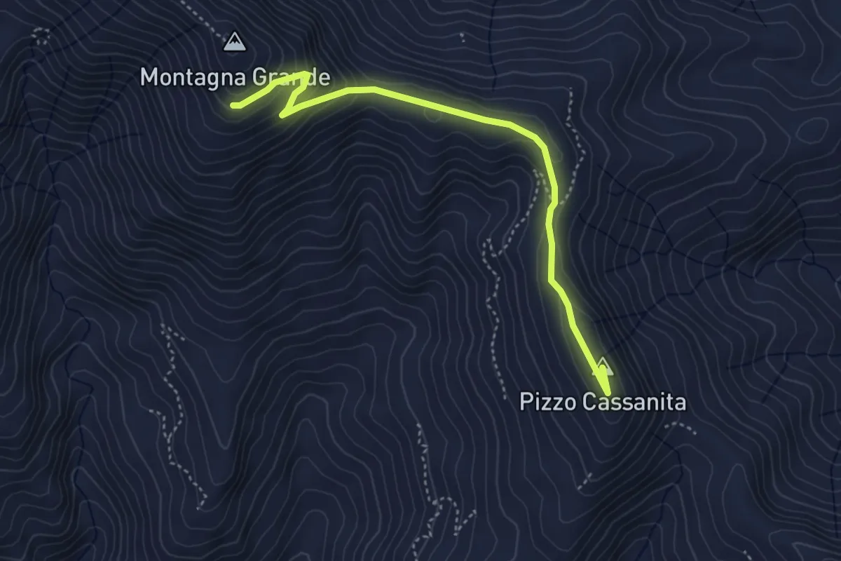
Easy · Summit
Motta Camastra Montagna Grande Variante Est per Pizzo Cassanita
4.9 km · ↑ 227 m · 1 h 39 min · 12 km away
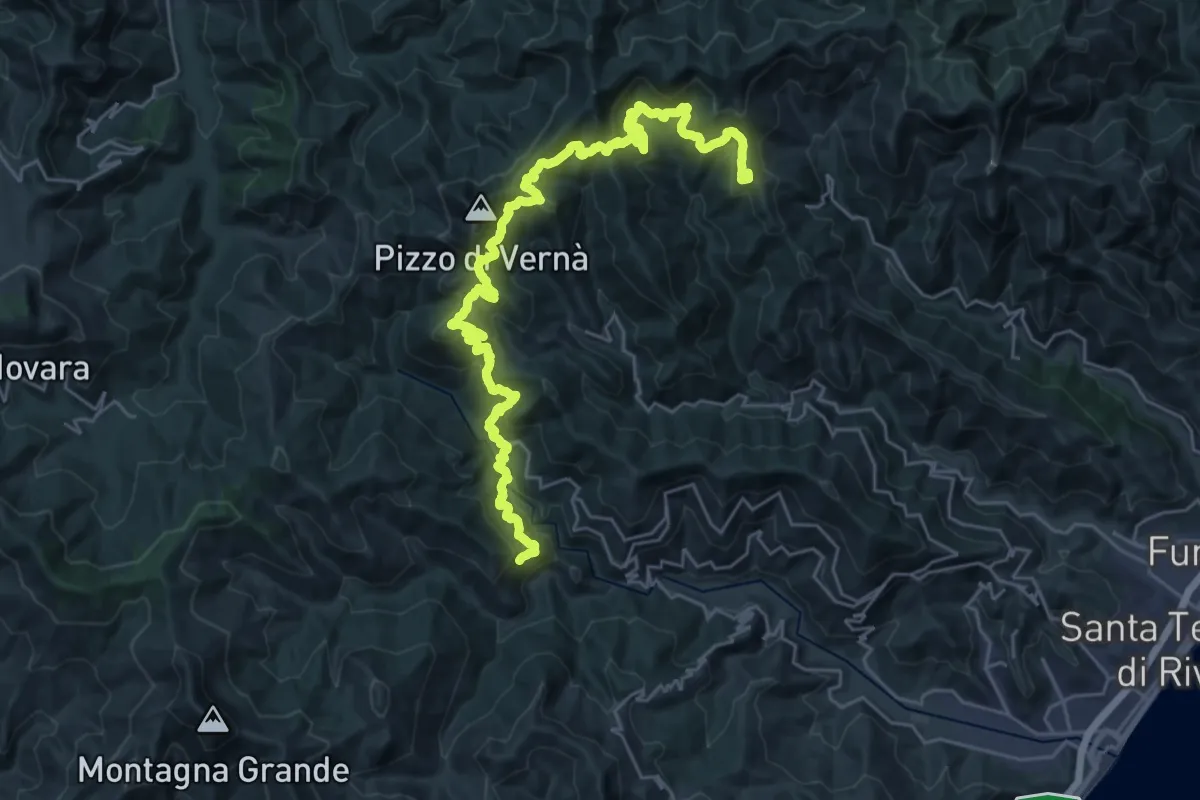
Demanding · Summit
Cammino dell'Anima - Tappa 3
38.5 km · ↑ 2281 m · 14 h 2 min · 12 km away
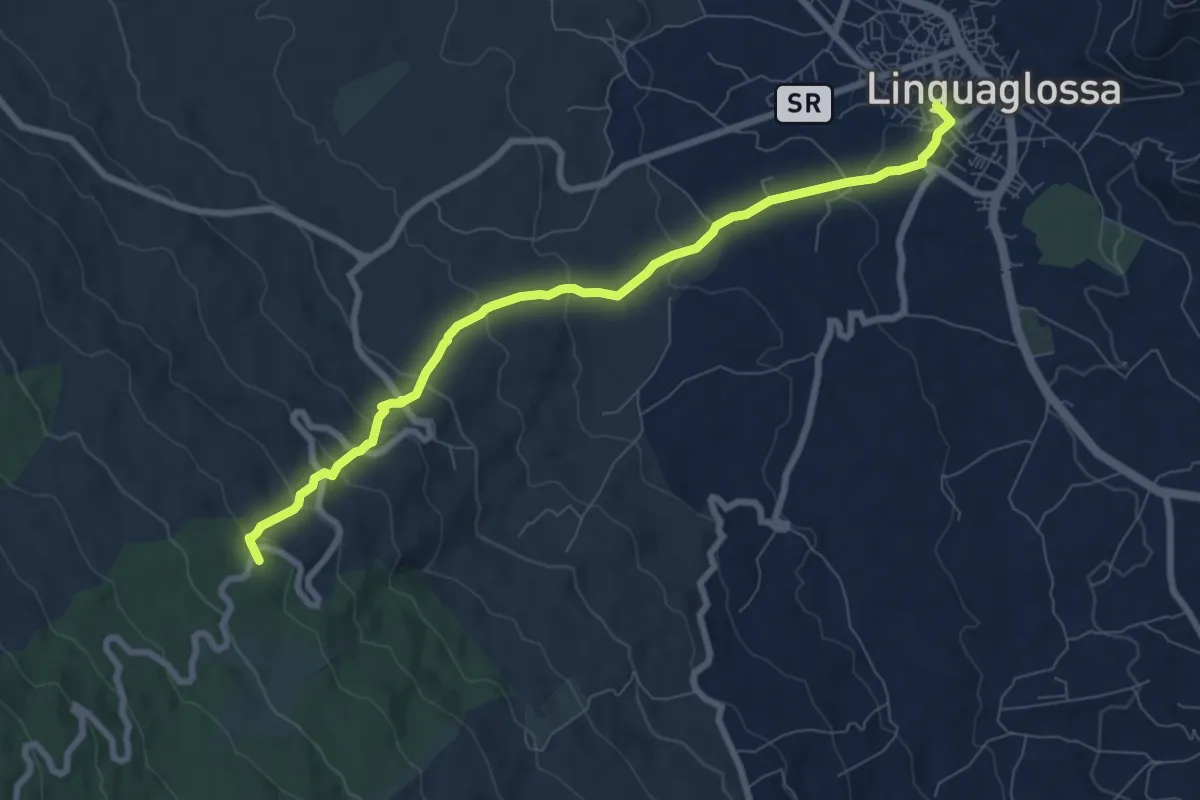
Medium · Summit
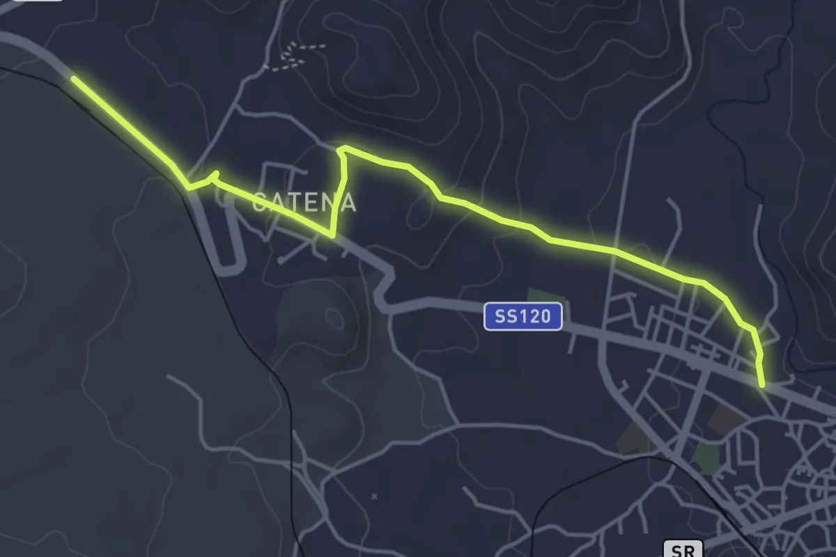
La Trainara
9.2 km · ↑ 430 m · 3 h 6 min · 13 km away
Easy · Trail
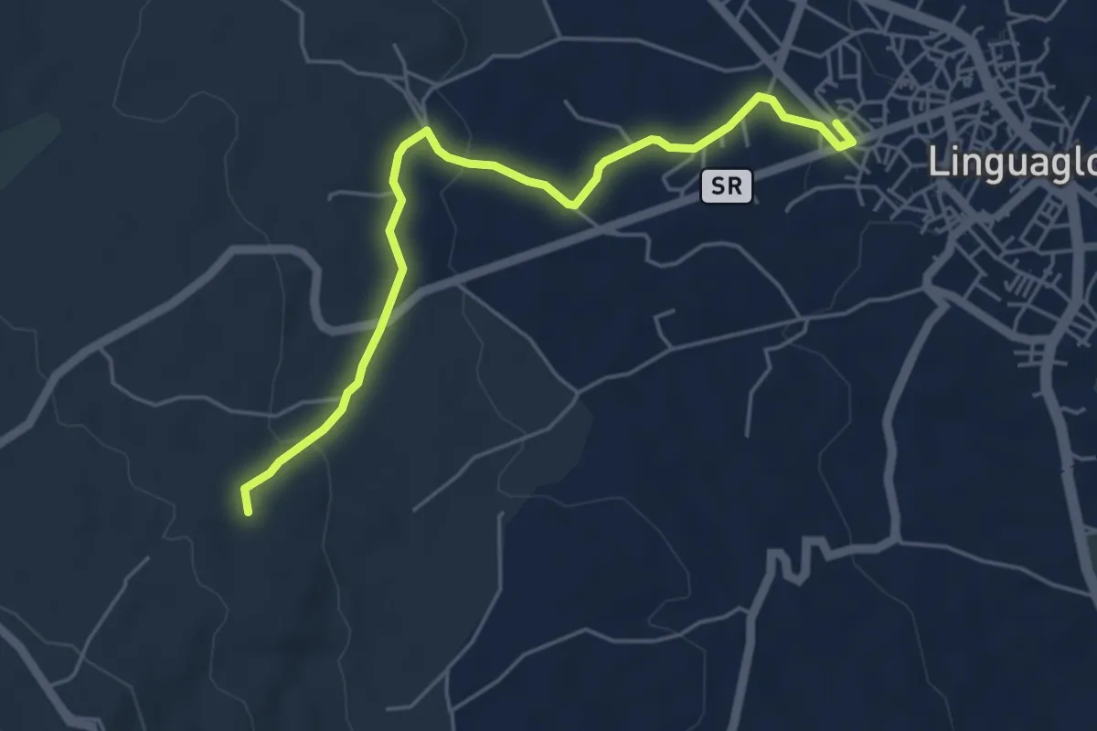
Sentiero delle Ginestre tappa 4 variante Linguaglossa
5.4 km · ↑ 122 m · 1 h 33 min · 13 km away
Easy · Trail
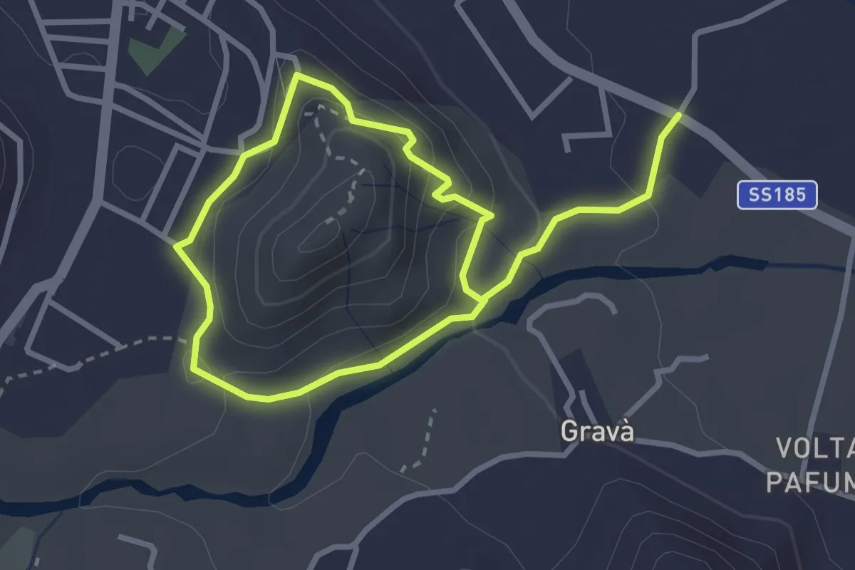
La Trainara Variante A
5.9 km · ↑ 120 m · 1 h 39 min · 13 km away
Medium · Trail
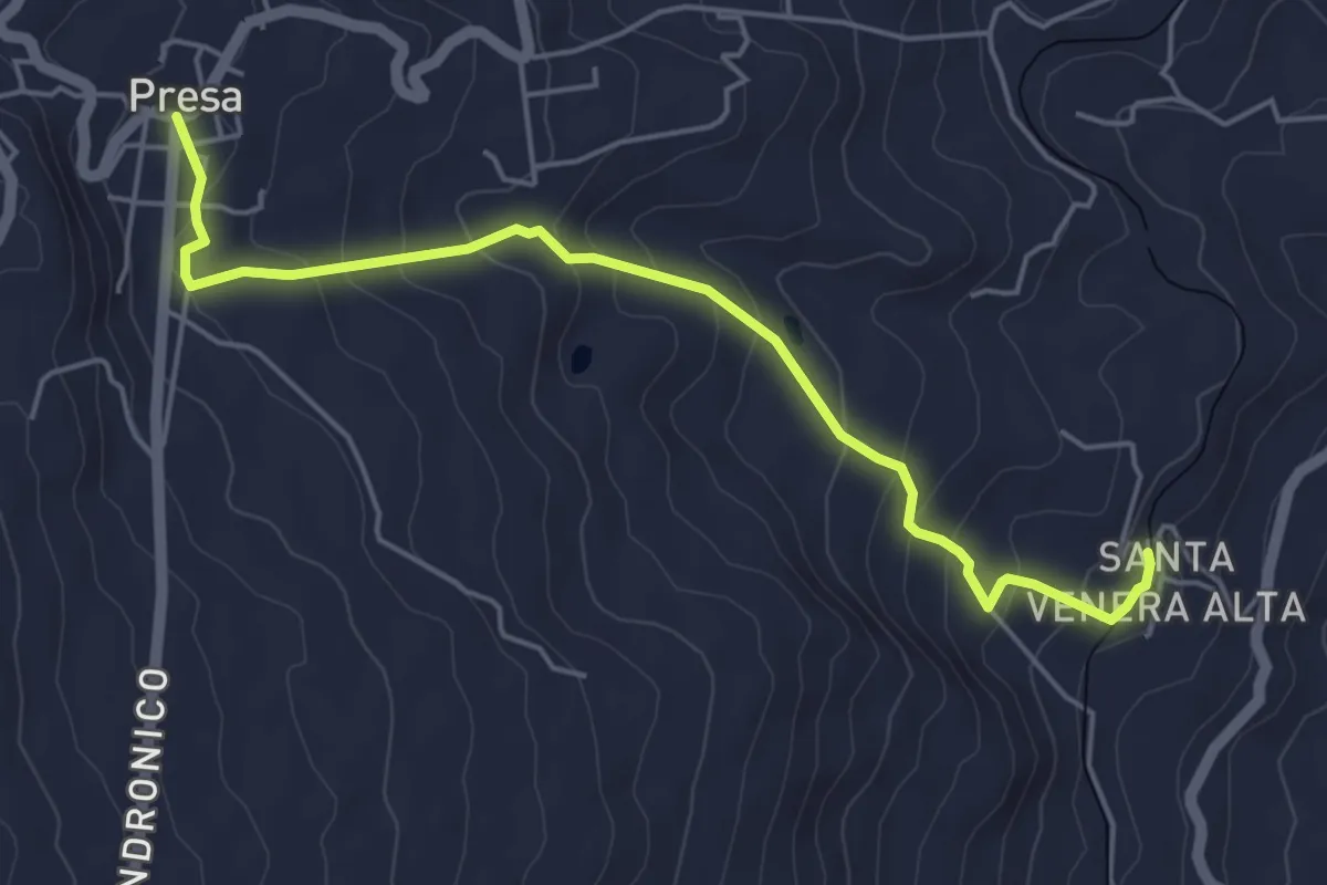
Sentiero natura Le Gurne dell'Alcantara
2.6 km · ↑ 112 m · 54 min · 13 km away
Easy · Trail
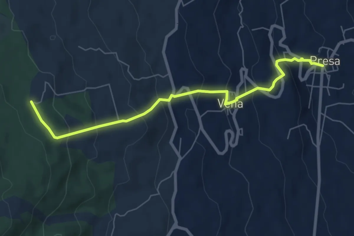
Santa Venera - Presa
6.0 km · ↑ 316 m · 2 h 6 min · 13 km away
Medium · Trail
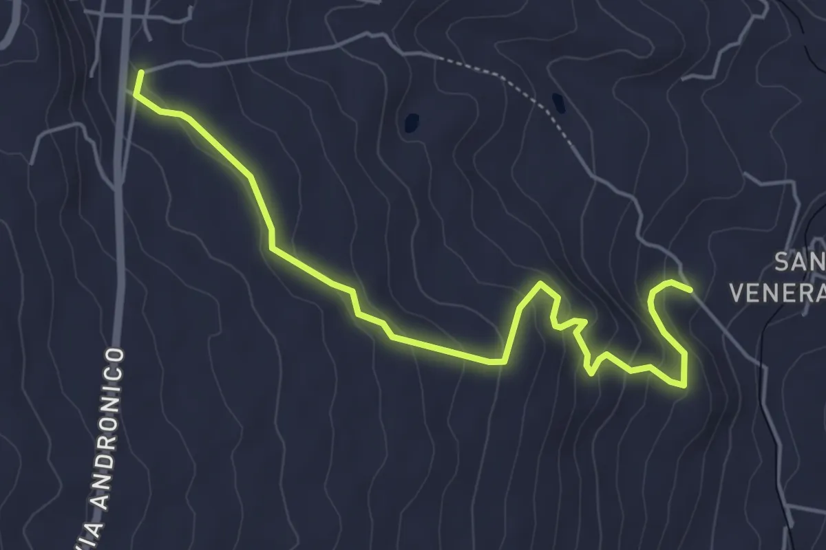
Presa - Case Bevacqua
6.6 km · ↑ 443 m · 2 h 32 min · 13 km away
Easy · Trail
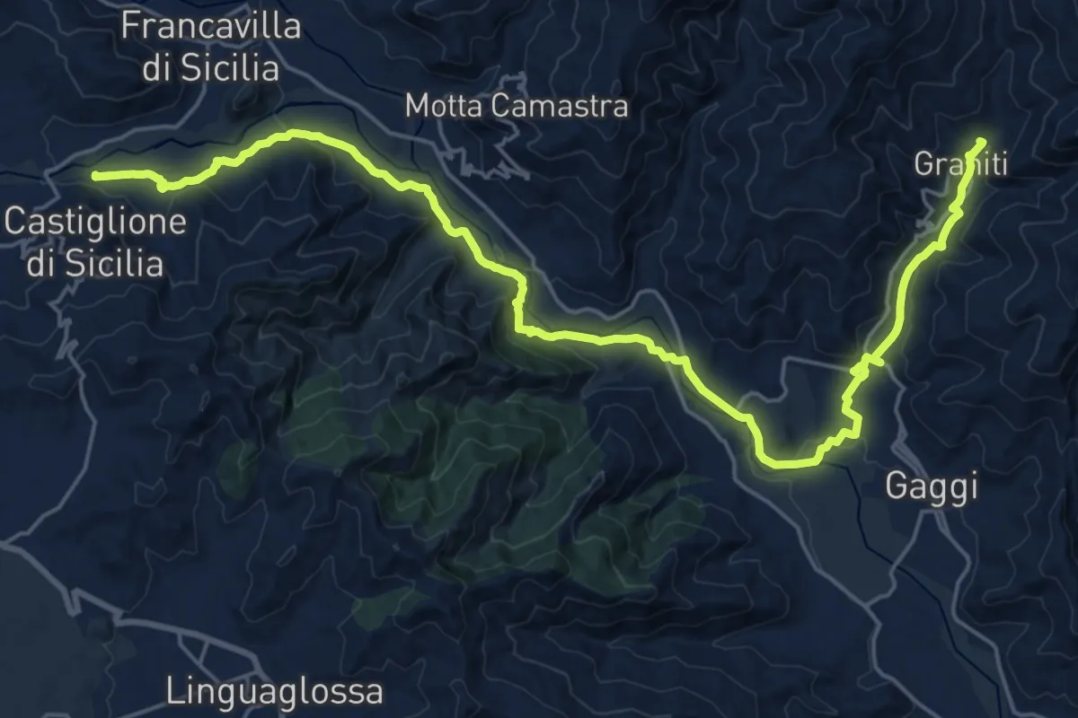
Presa - Santa Venera variante Bagolaro
6.1 km · ↑ 293 m · 2 h 5 min · 14 km away
Expert · Trail
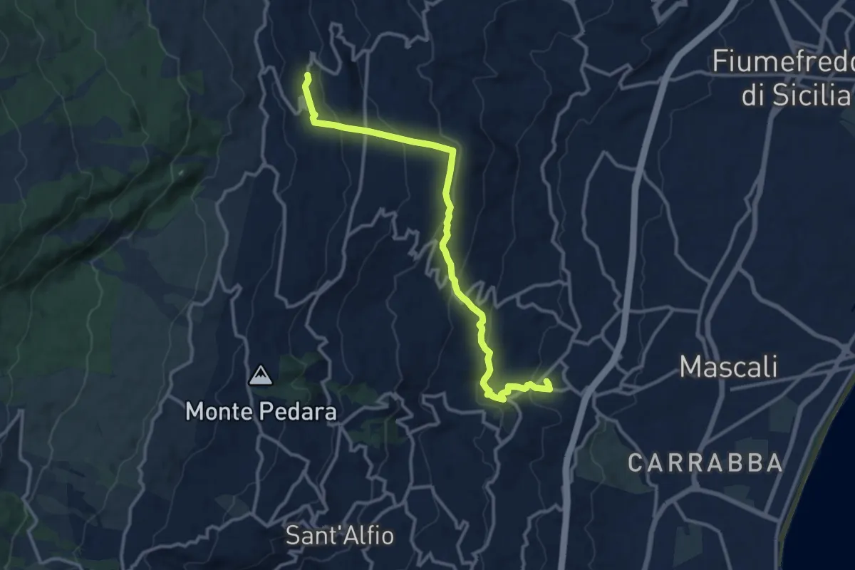
Sentiero delle Ginestre Tappa n. 5
15.5 km · ↑ 318 m · 4 h 36 min · 14 km away
Medium · Trail
Nunziata – Presa
13.7 km · ↑ 637 m · 4 h 37 min · 14 km away
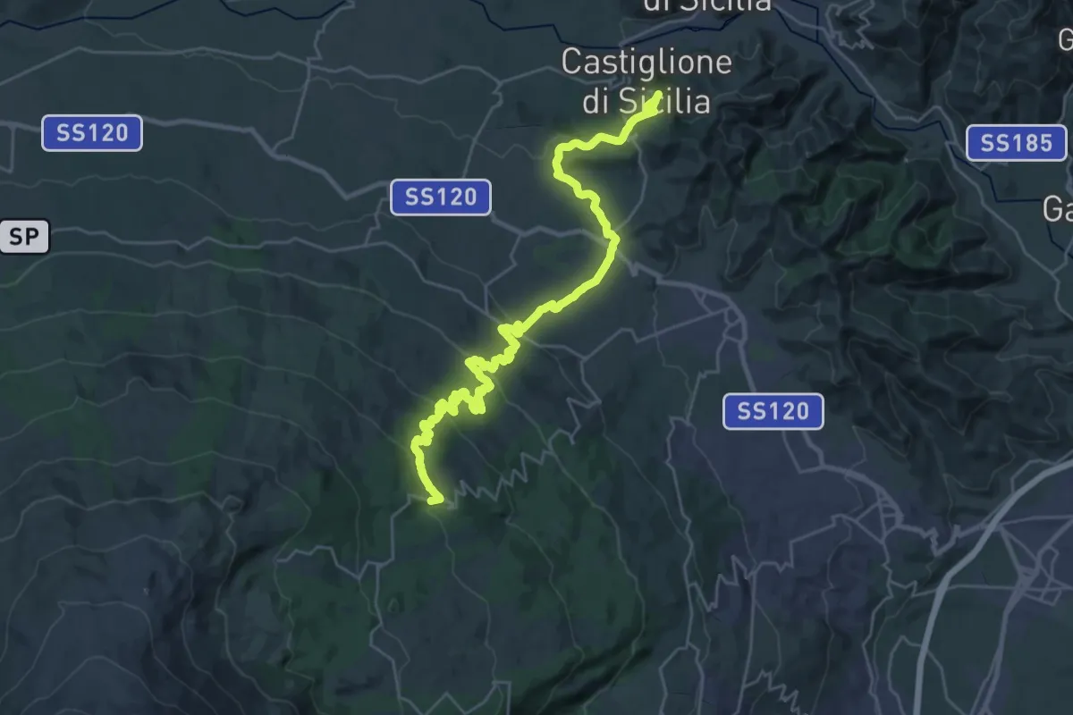
Demanding · Cabin
Sentiero delle Ginestre tappa 4
17.9 km · ↑ 927 m · 6 h 4 min · 14 km away
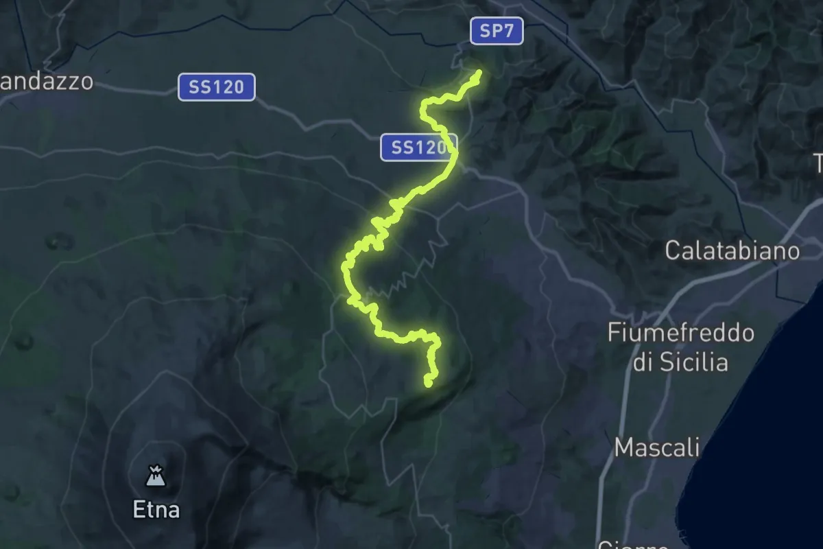
Demanding · Summit
Case Pietracannone – Castiglione di Sicilia
52.1 km · ↑ 1466 m · 15 h 29 min · 14 km away
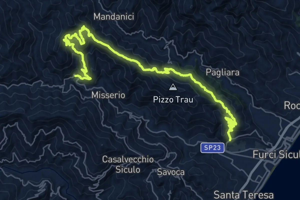
Demanding · Trail
Artale Locadi Grotte
15.3 km · ↑ 1027 m · 5 h 57 min · 15 km away
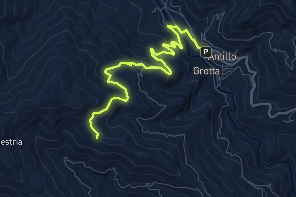
Medium · Trail
Antillo Sentiero Italia
9.7 km · ↑ 510 m · 3 h 23 min · 15 km away