Trails near Terracina
25 hikes starting within 15 km, nearest first.
Nearest first
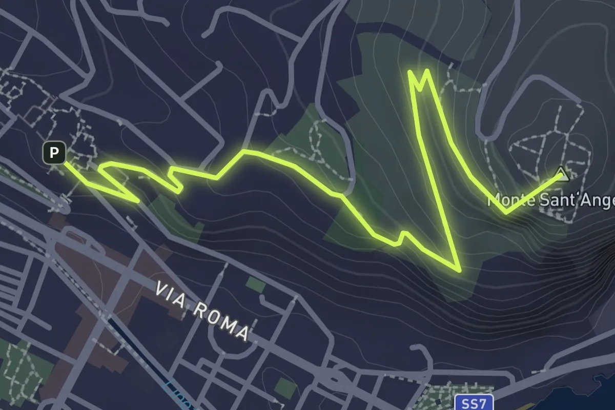
Easy · Summit
Sentiero di San Francesco o Giove Anxur
4.0 km · ↑ 173 m · 1 h 19 min · under 1 km away
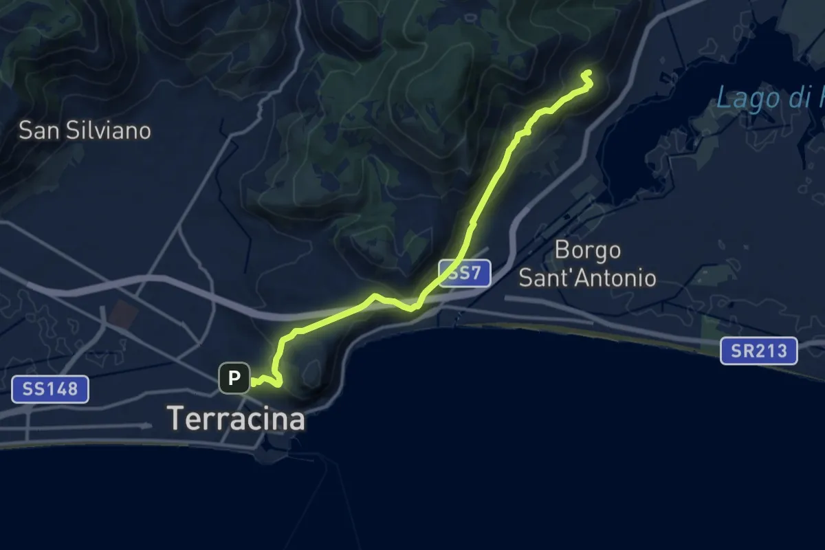
Medium · Trail
Via Appia Superiore
14.2 km · ↑ 675 m · 4 h 49 min · under 1 km away
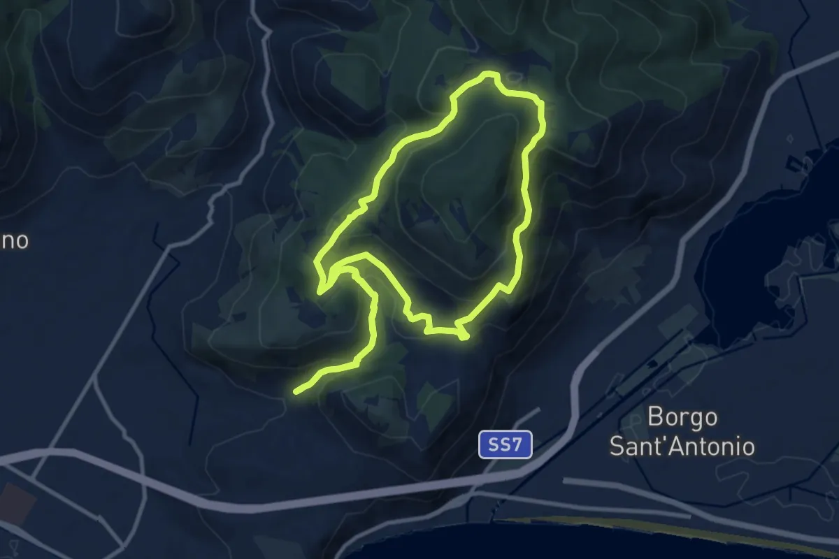
Medium · Trail
Sentiero Emilio Selvaggi
11.2 km · ↑ 526 m · 3 h 56 min · 3 km away
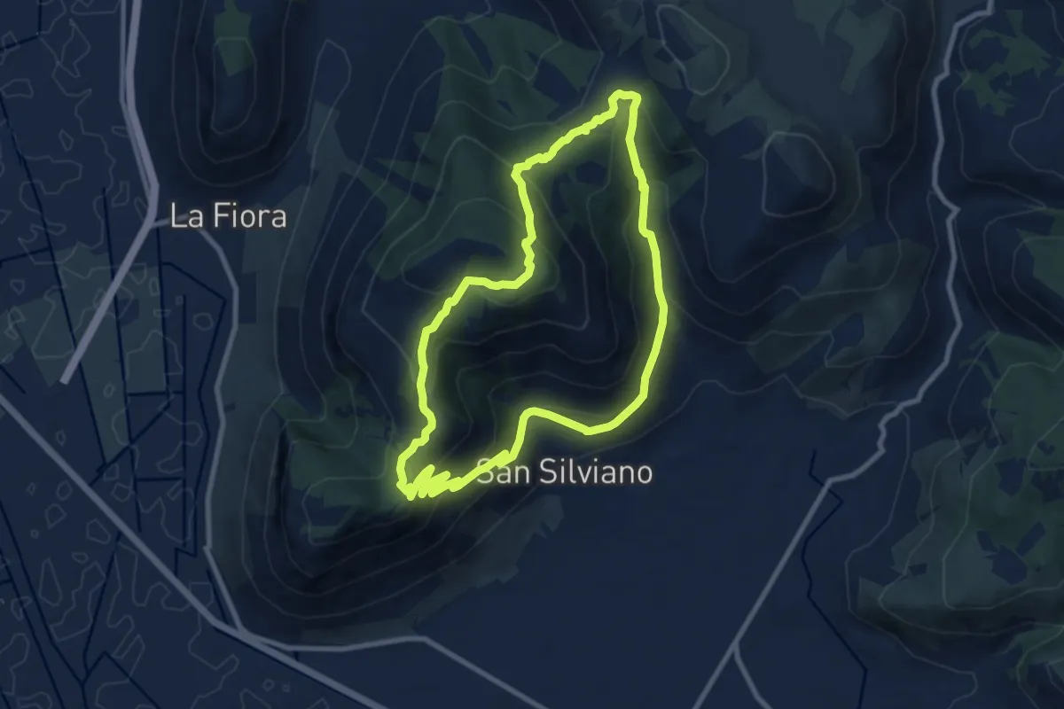
Medium · Trail
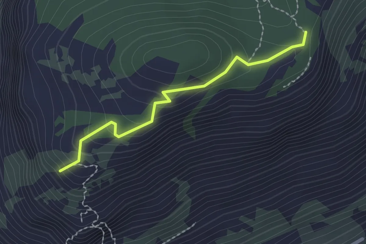
Anello Monte Leano
9.2 km · ↑ 530 m · 3 h 26 min · 4 km away
Easy · Trail
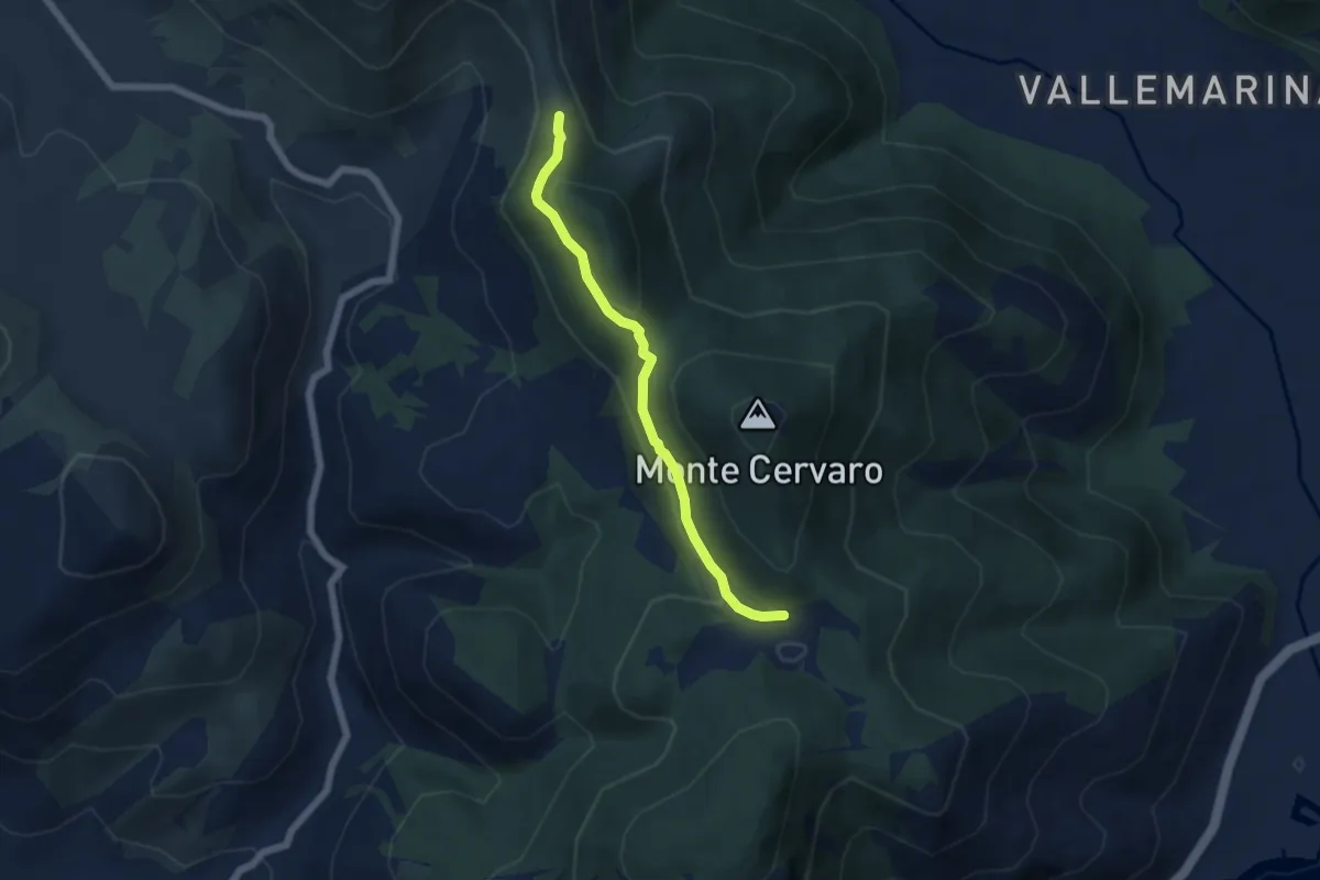
Punta Leano
2.0 km · ↑ 123 m · 44 min · 4 km away
Easy · Trail
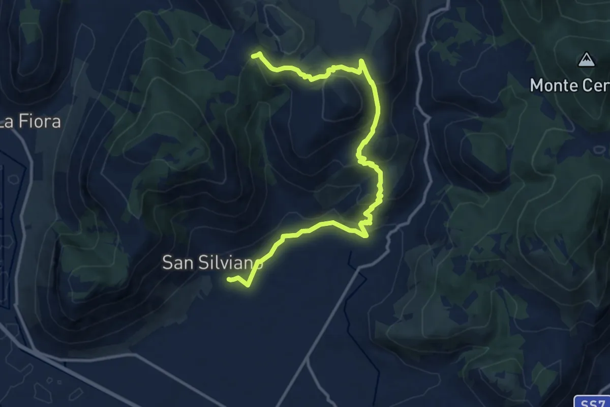
Via dei Cippi Variante Santo Stefano
5.7 km · ↑ 190 m · 1 h 46 min · 6 km away
Medium · Trail
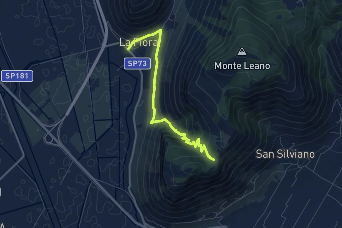
Chiesa di San Silviano – Francolane
13.7 km · ↑ 573 m · 4 h 29 min · 6 km away
Medium · Trail
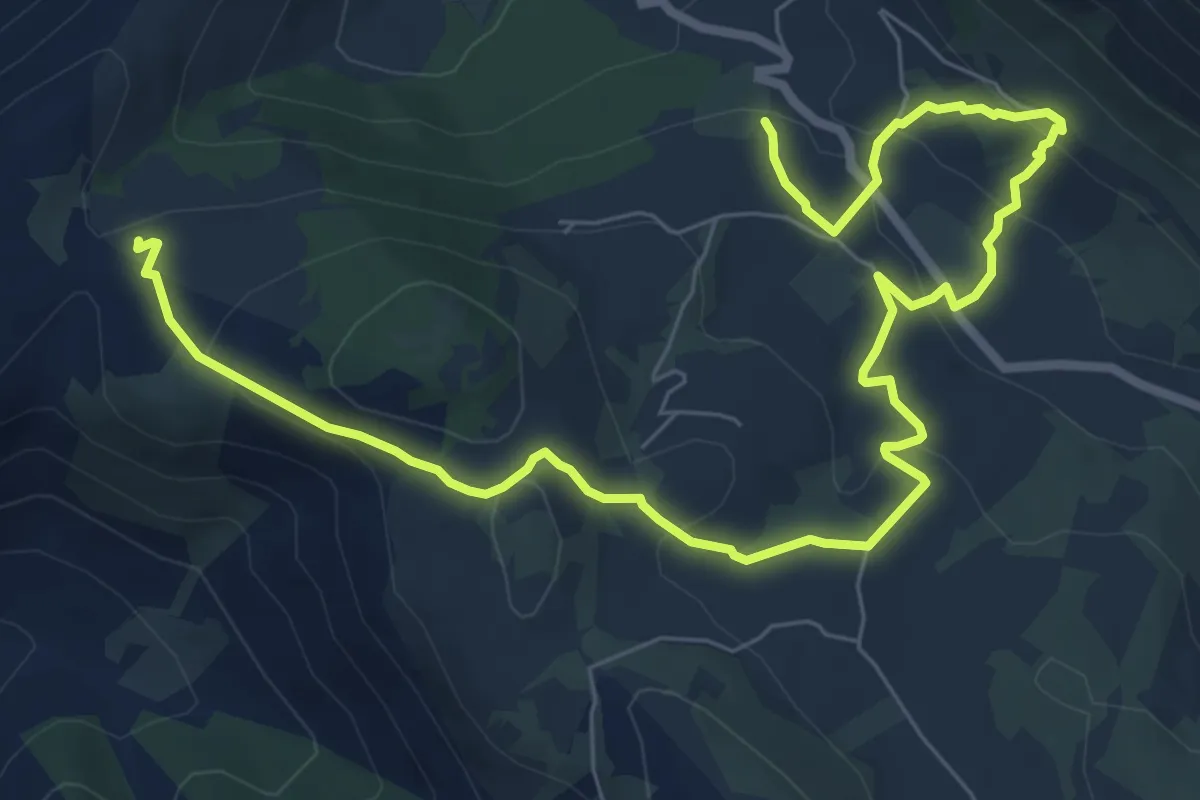
La Fiora – Sella Leano
7.9 km · ↑ 426 m · 2 h 47 min · 7 km away
Medium · Trail
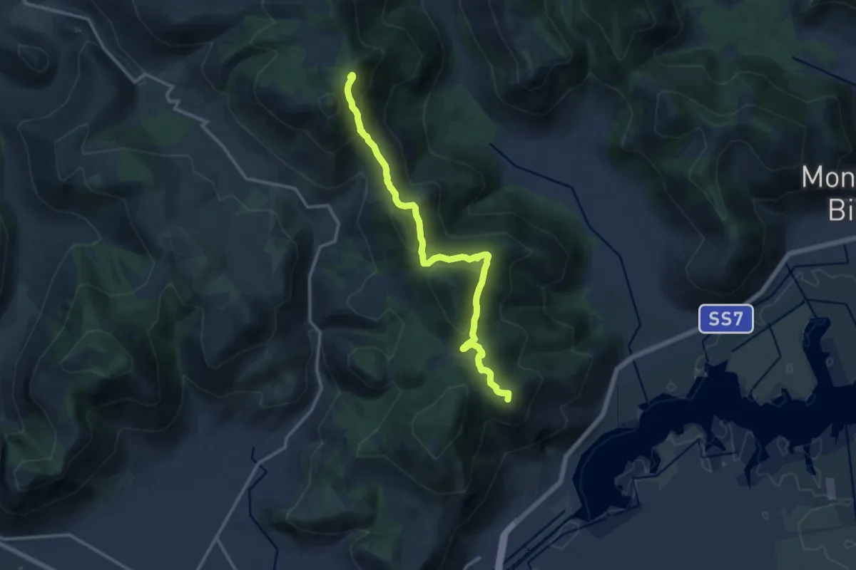
Variante Cavallo Bianco-Campo Soriano
11.0 km · ↑ 400 m · 3 h 28 min · 8 km away
Medium · Summit
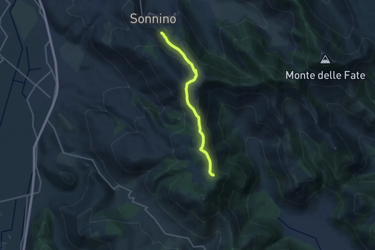
Via dei Cippi
14.0 km · ↑ 590 m · 4 h 35 min · 9 km away
Medium · Trail
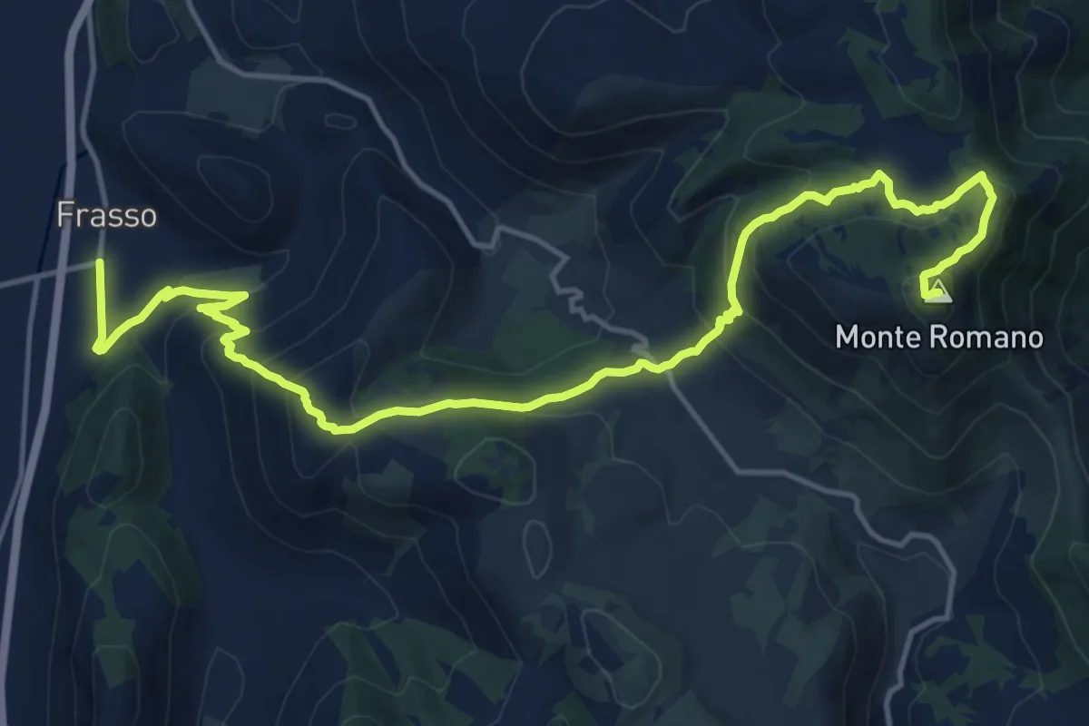
Sonnino Monte Romano
10.9 km · ↑ 575 m · 3 h 49 min · 9 km away
Demanding · Summit
Frasso - Monte Romano
19.3 km · ↑ 1124 m · 6 h 59 min · 10 km away
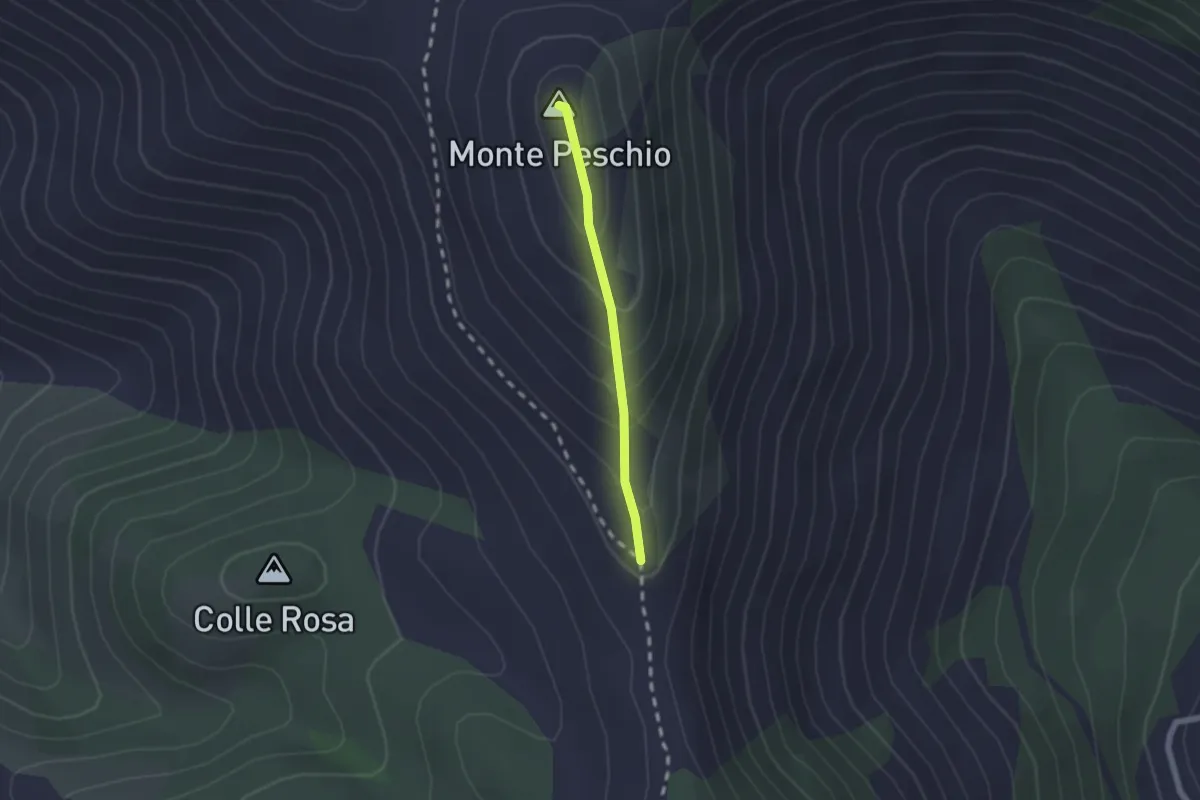
Easy · Summit
Via dei Cippi, tratta M. Peschio-M. Ceraso
1.7 km · ↑ 132 m · 41 min · 11 km away
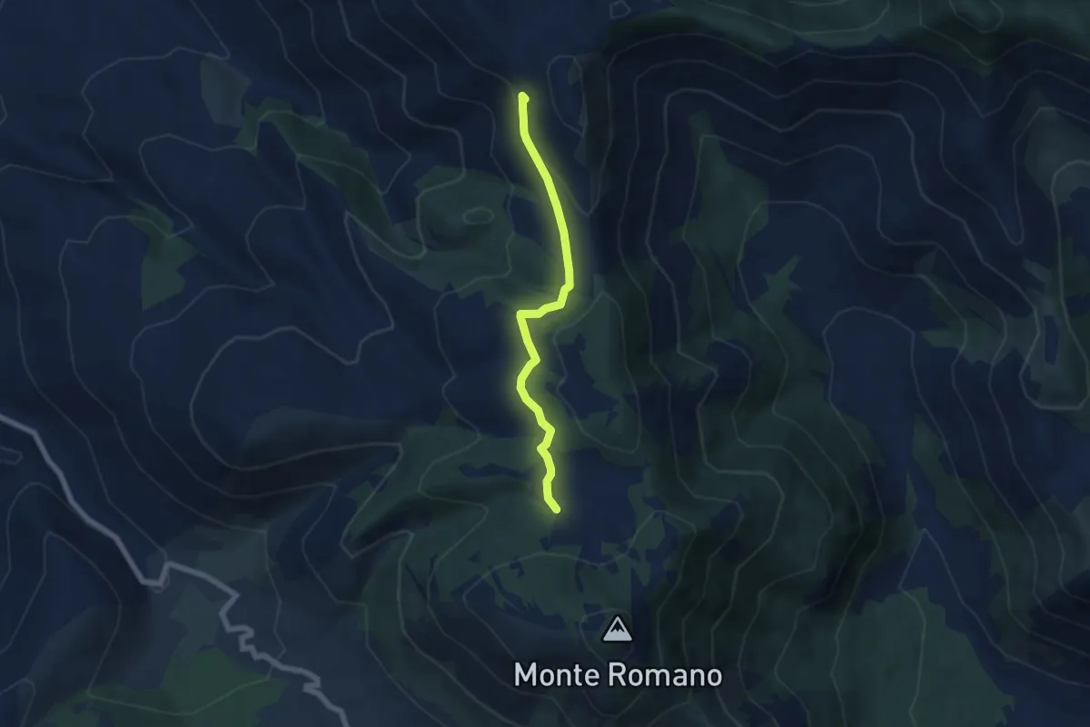
Easy · Trail
Percorso 533 – Percorso 532
5.8 km · ↑ 185 m · 1 h 47 min · 12 km away
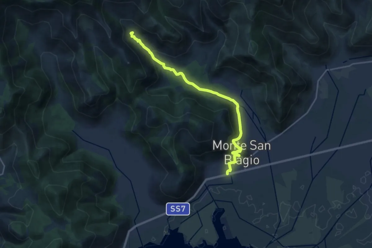
Medium · Trail
Stazione di Monte San Biagio – Fonte Vetica
15.7 km · ↑ 486 m · 4 h 45 min · 12 km away
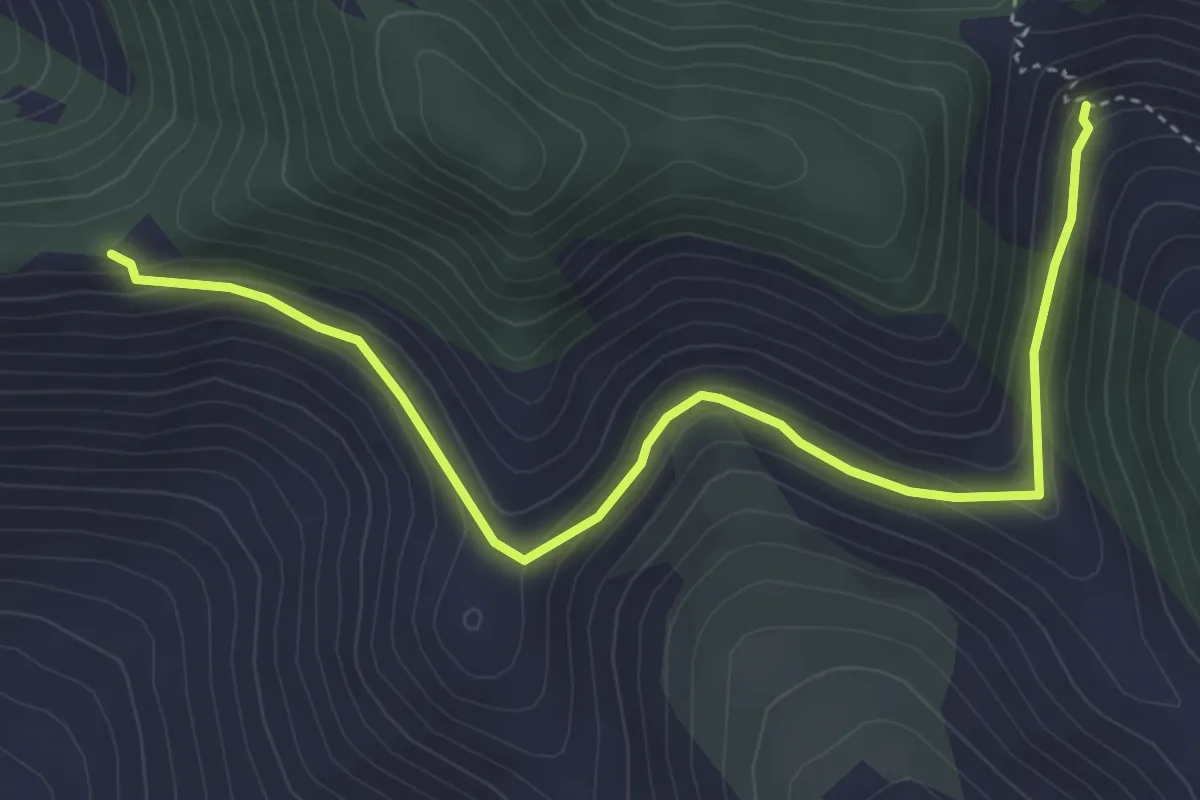
Easy · Trail
Serra Palombi – CAI 534
5.2 km · ↑ 209 m · 1 h 41 min · 12 km away
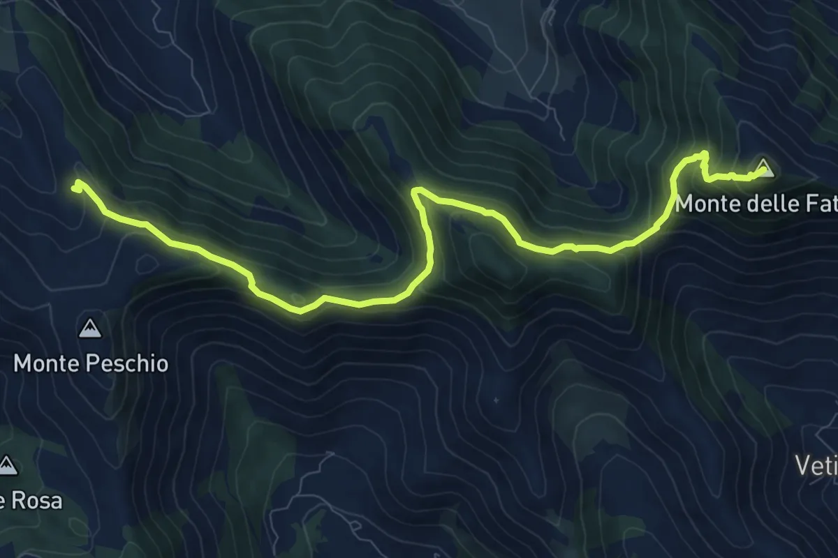
Medium · Summit
Rifugio La Cona – Monte delle Fate
11.8 km · ↑ 702 m · 4 h 18 min · 13 km away
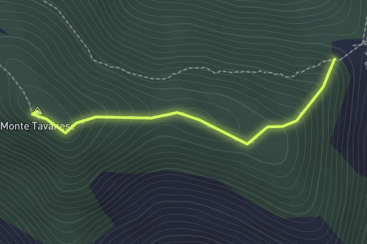
Easy · Summit
Serra Palombi CAI 534 – Sentiero CAI 534
2.0 km · ↑ 168 m · 51 min · 13 km away
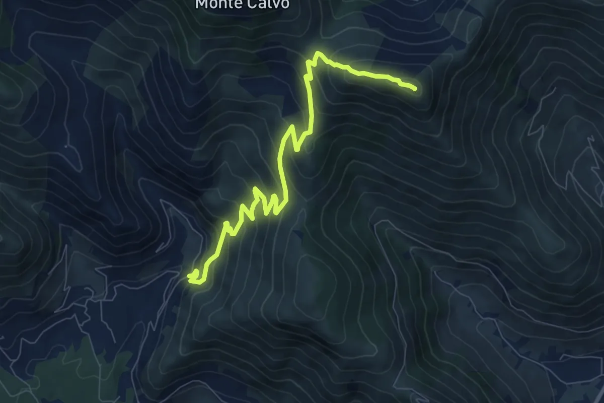
Medium · Summit
Monte Latiglia-Monte Cimoletta
9.7 km · ↑ 746 m · 3 h 54 min · 13 km away
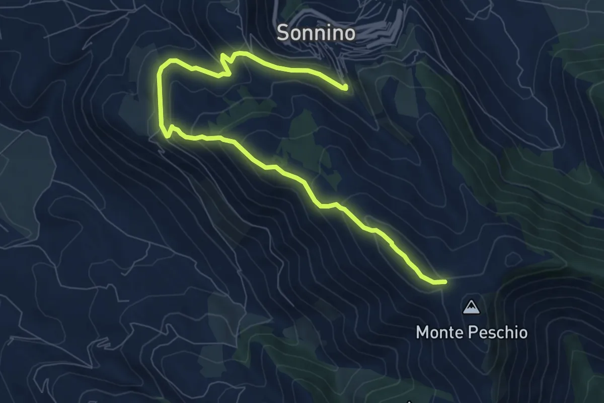
Medium · Cabin
Rifugio Gasperone-Ponte dei Ladri
10.6 km · ↑ 562 m · 3 h 43 min · 14 km away
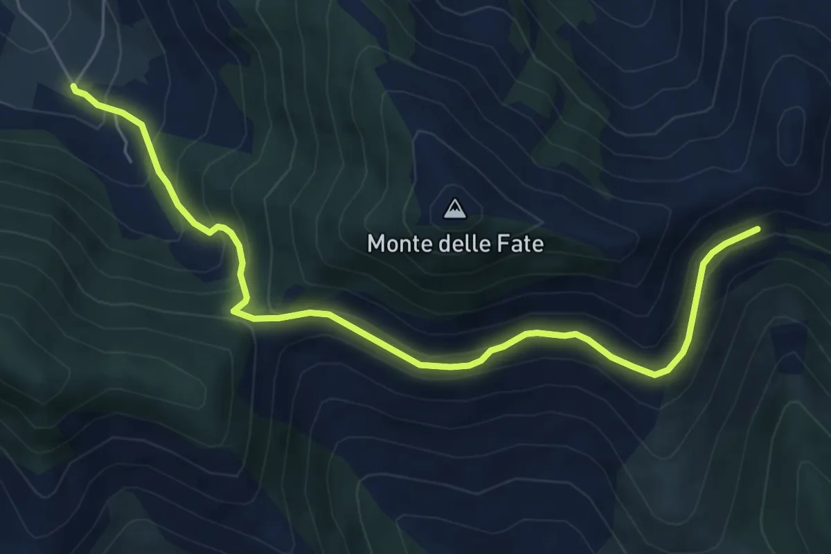
Medium · Trail
Cerreto-Serra Palombi-Fontana La Savia
7.2 km · ↑ 430 m · 2 h 38 min · 14 km away
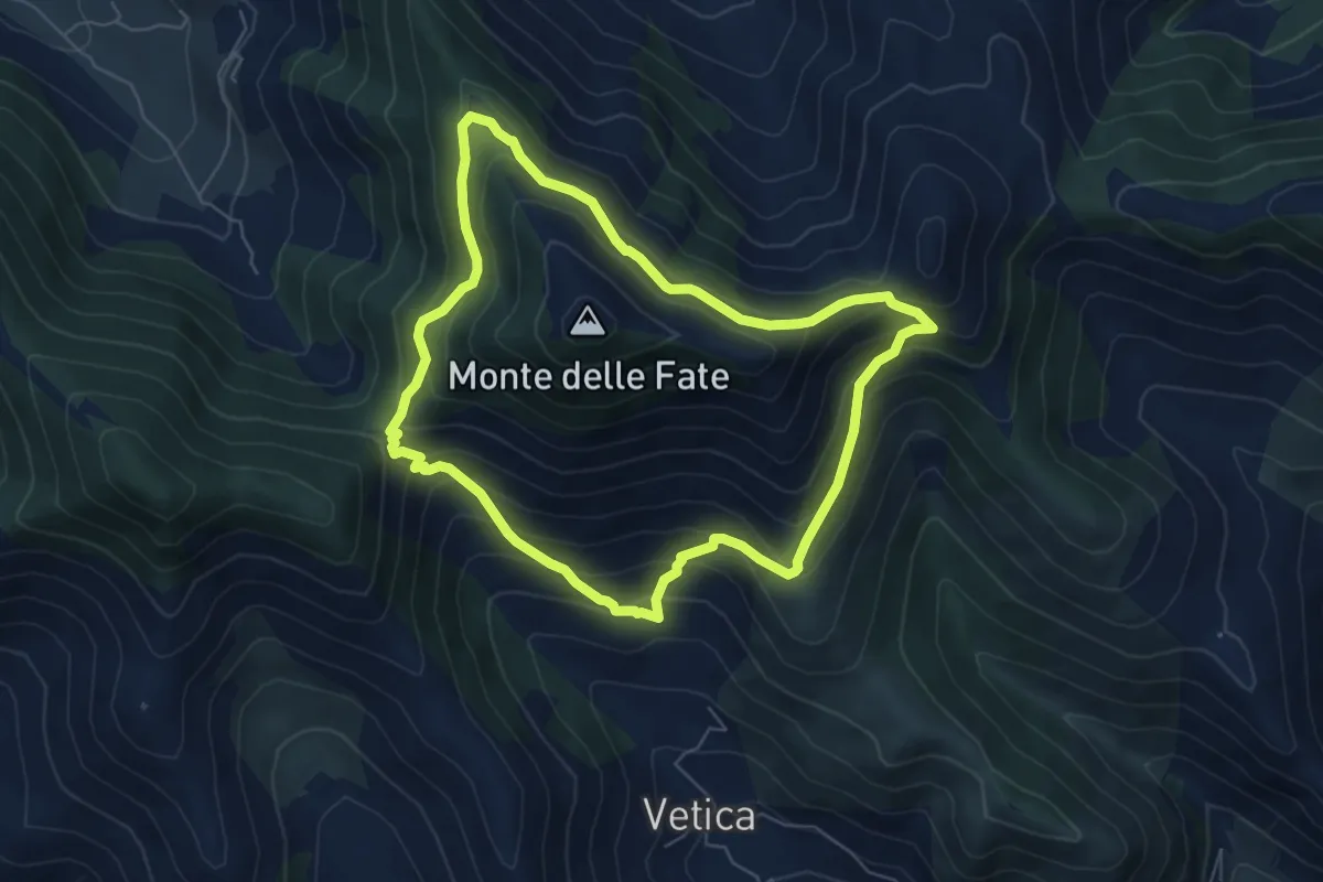
Medium · Trail
Anello Mandra di Riccitiello - Jo Caturo
6.6 km · ↑ 487 m · 2 h 42 min · 14 km away
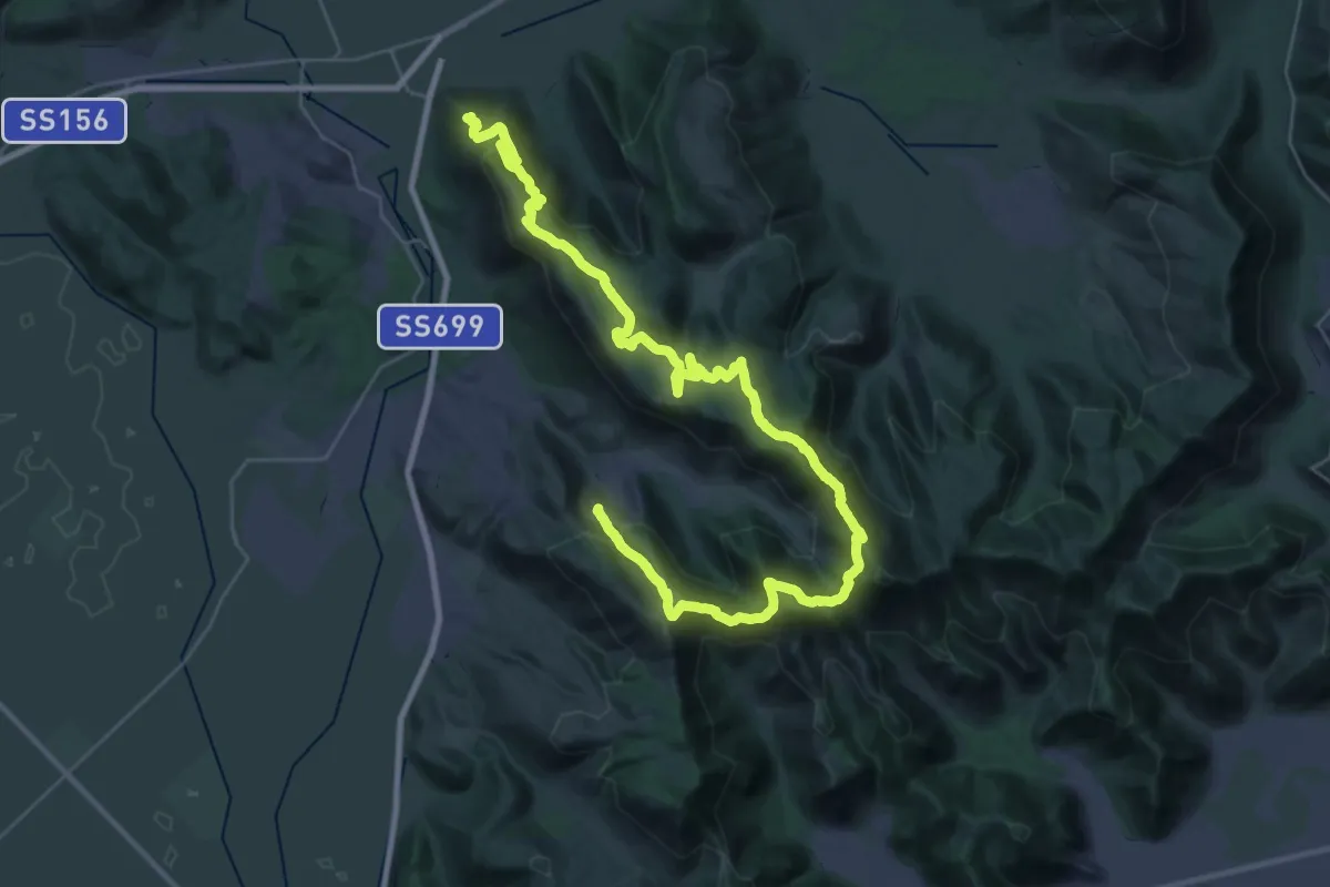
Demanding · Trail
Cammino della Regina Camilla - Tappa 12
25.2 km · ↑ 993 m · 8 h 28 min · 14 km away
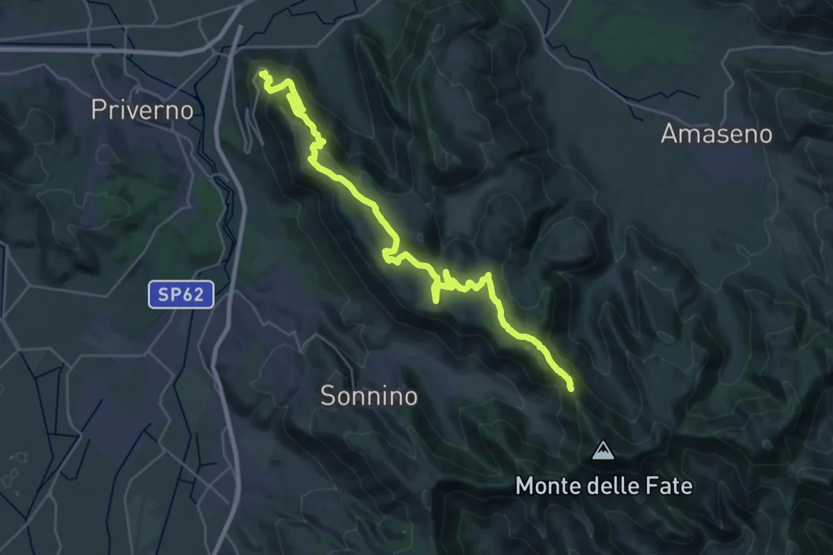
Medium · Trail
Roccasecca dei Volsci – Percorso 535
16.0 km · ↑ 298 m · 4 h 50 min · 15 km away
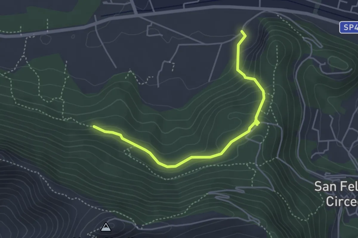
Easy · Trail
Sentiero del Brecciaro
4.6 km · ↑ 233 m · 1 h 35 min · 15 km away