Trails near Terranuova Bracciolini
78 hikes starting within 15 km, nearest first.
Nearest first, page 1 of 2
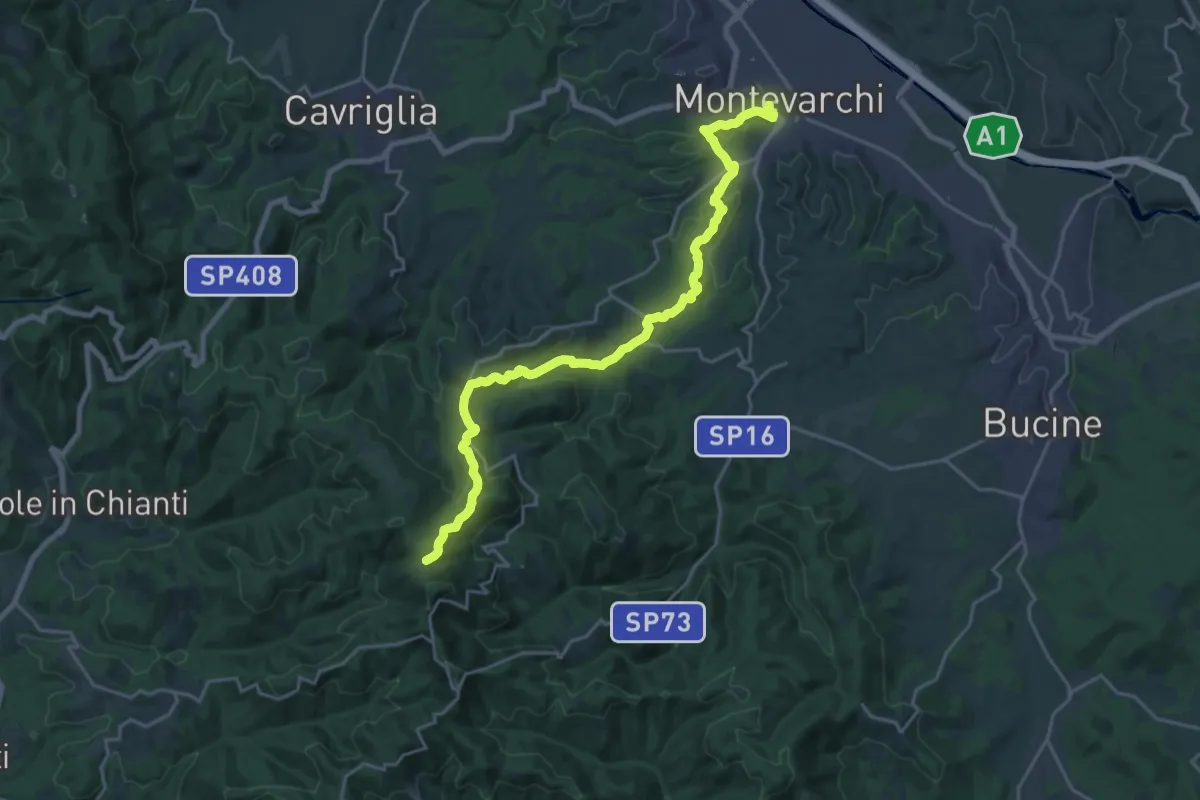
Demanding · Trail
Montevarchi – sent. 400 Aquila
24.4 km · ↑ 827 m · 7 h 34 min · 4 km away
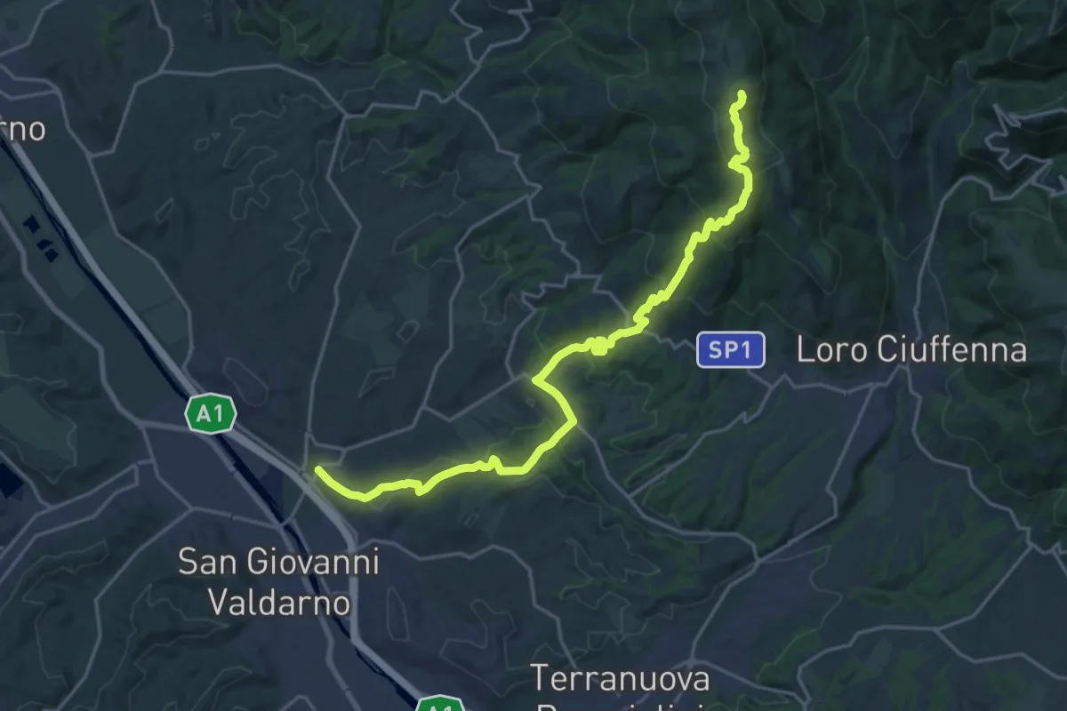
Demanding · Summit
S. Giovanni Valdarno – Poggio Montrago
23.1 km · ↑ 1025 m · 7 h 40 min · 5 km away
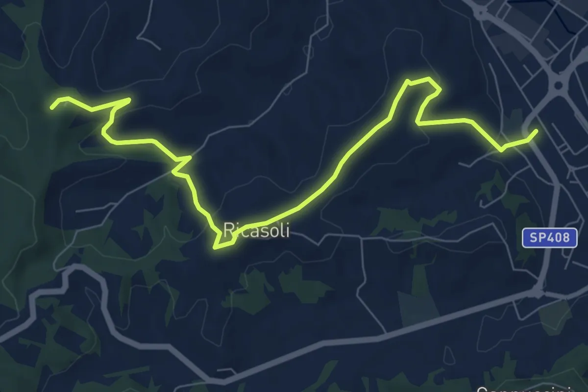
Medium · Trail
Montevarchi – Bivio sentiero 33, Casa Passelli
9.2 km · ↑ 238 m · 2 h 41 min · 5 km away
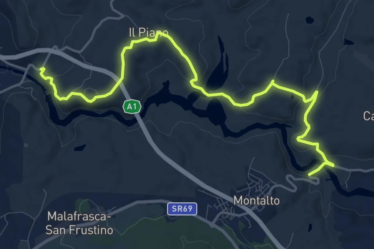
Medium · Trail
GERDA
13.8 km · ↑ 408 m · 4 h 8 min · 6 km away
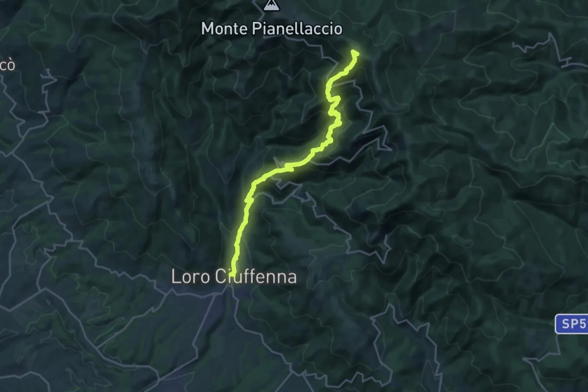
Demanding · Summit
Loro Ciuffenna – sent. 00 Pozza Nera
20.0 km · ↑ 1540 m · 8 h 4 min · 6 km away
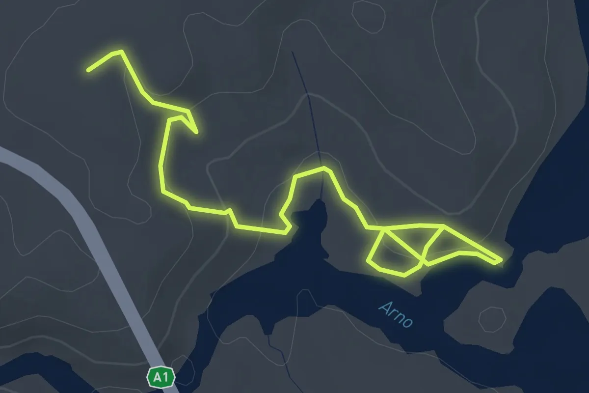
Easy · Trail
A - Sentiero dei Vignali
4.8 km · ↑ 186 m · 1 h 32 min · 6 km away
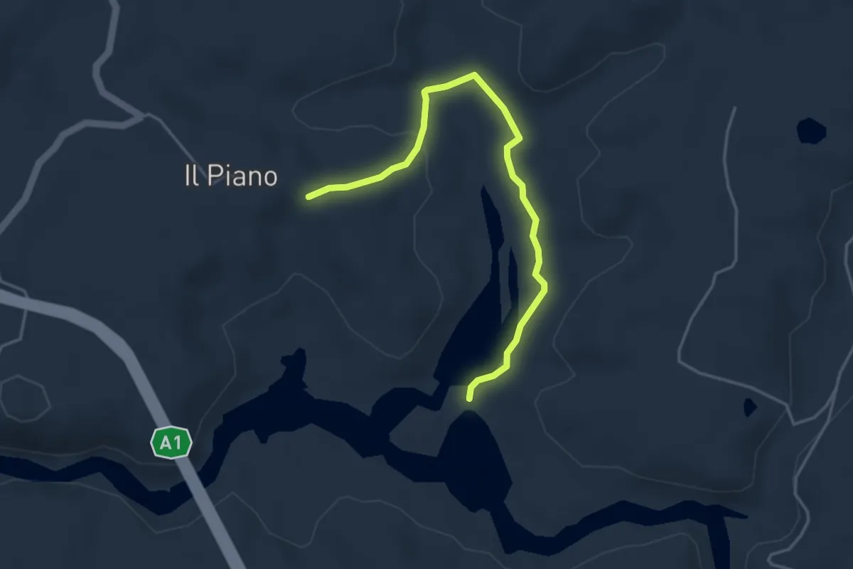
Easy · Trail
B Sentiero dell'Ascione
4.3 km · ↑ 86 m · 1 h 12 min · 7 km away
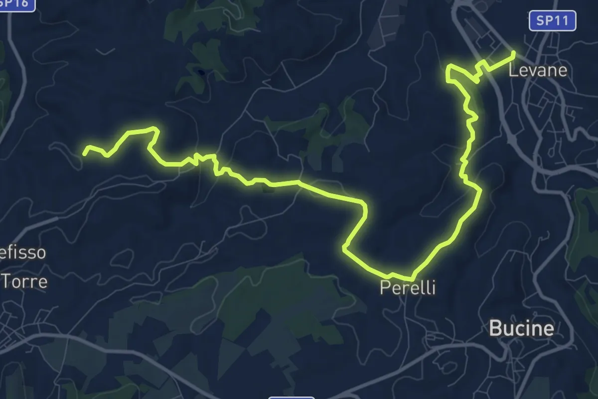
Medium · Trail
Levane sent. 41 – La Villa
14.8 km · ↑ 360 m · 4 h 17 min · 7 km away
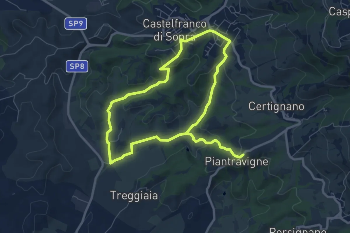
Easy · Trail
Sentiero dell'Acqua Zolfina
6.2 km · ↑ 204 m · 1 h 57 min · 7 km away
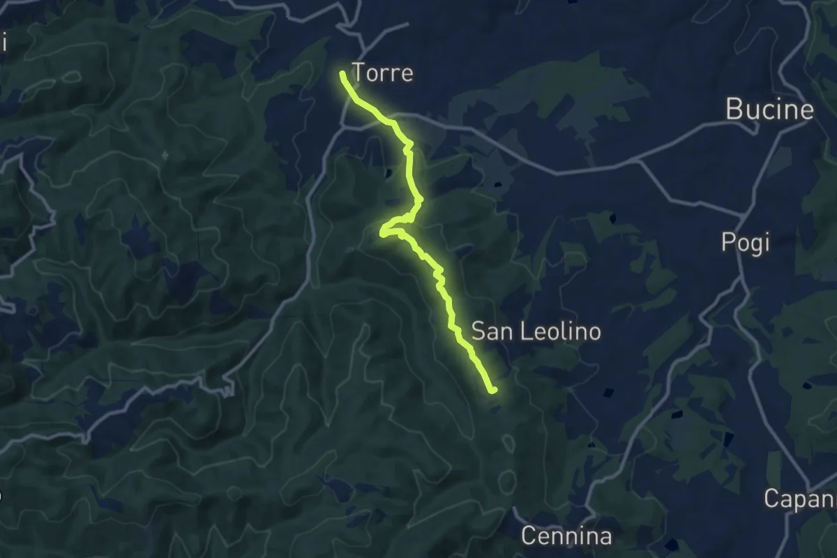
Medium · Trail
sent. 345 Poggio al Fattore – sent. 341
10.0 km · ↑ 338 m · 3 h 5 min · 8 km away
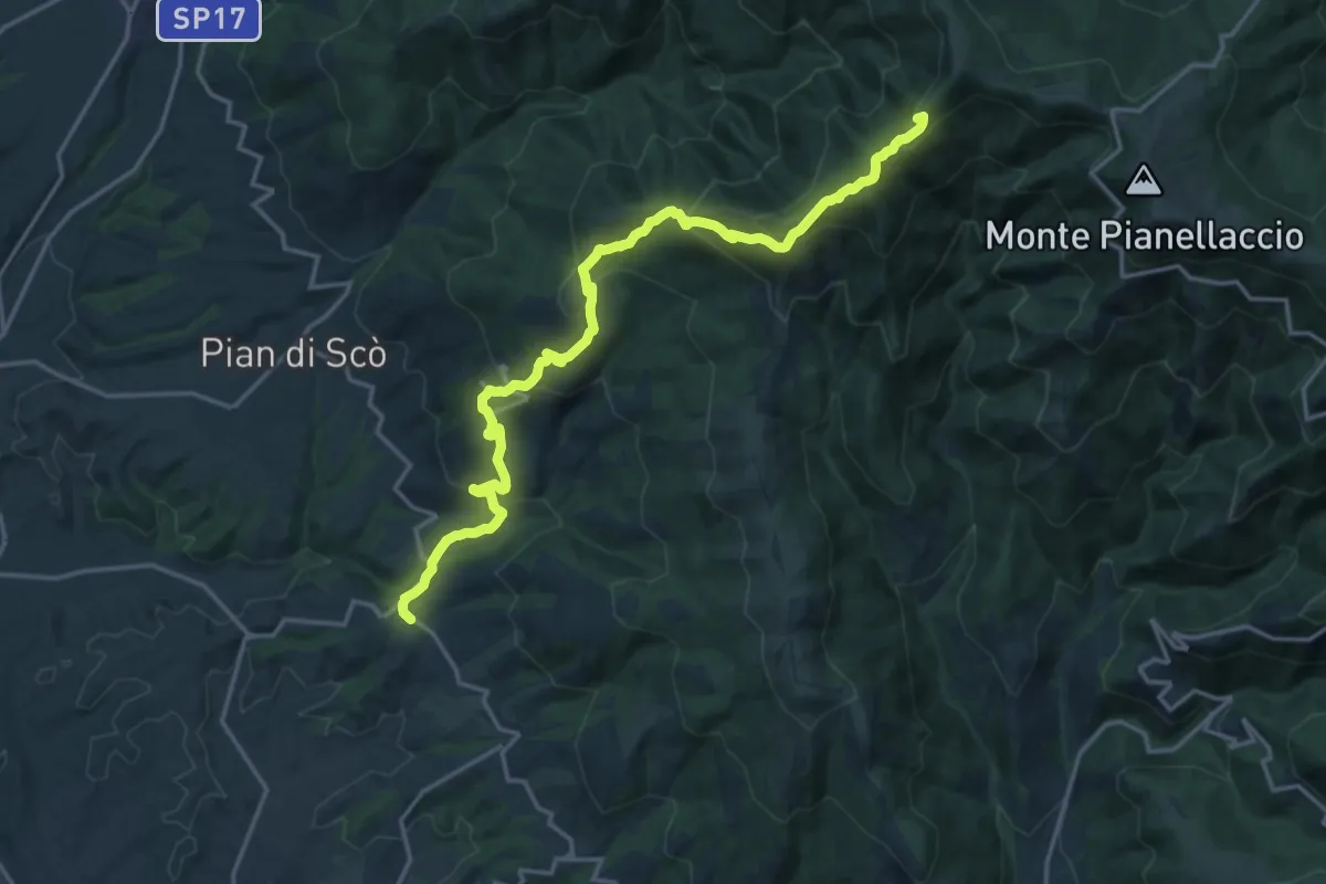
Demanding · Summit
Castelfranco di Sopra – varco alla Vetrice
20.1 km · ↑ 1193 m · 7 h 19 min · 8 km away
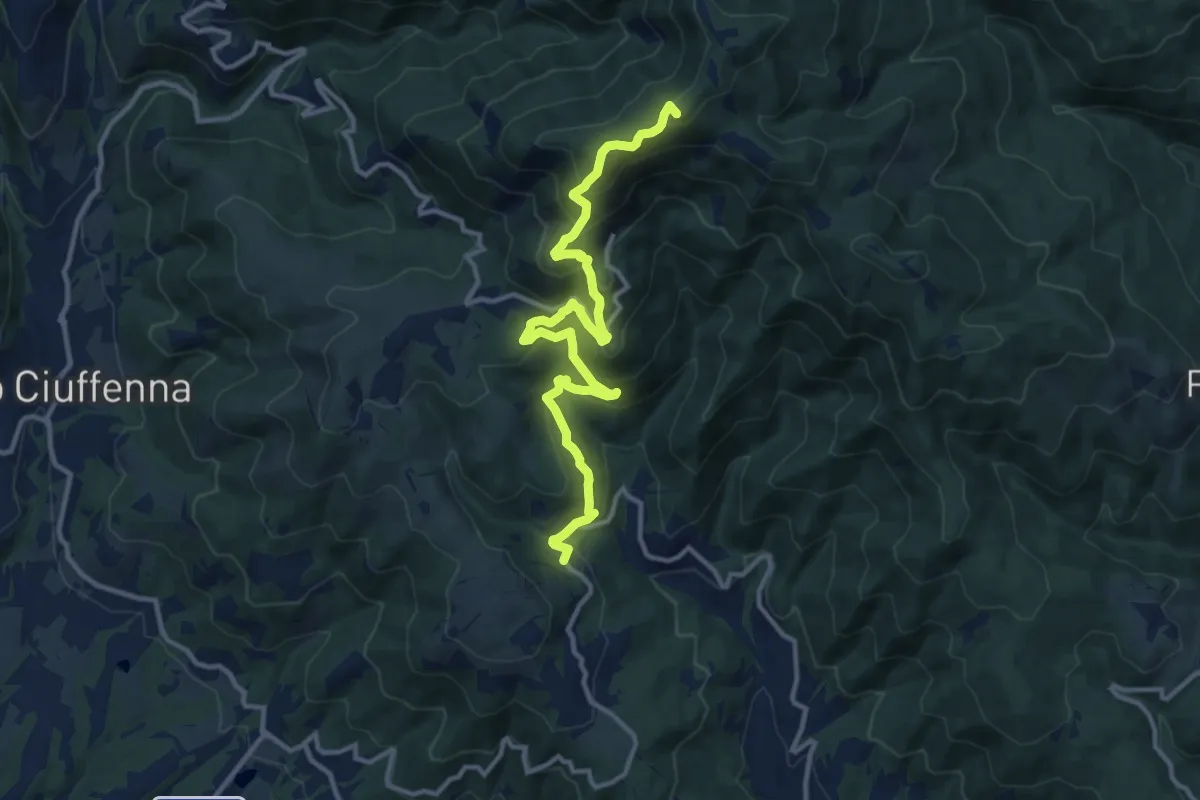
Demanding · Summit
sent. 39 Faeto – sent. 00 Monte di Loro
13.7 km · ↑ 882 m · 5 h 9 min · 8 km away
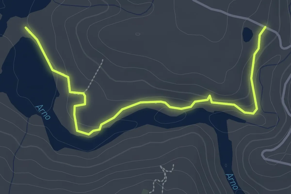
Easy · Trail
C -Sentiero della Terrazza sull'Agna
3.8 km · ↑ 93 m · 1 h 6 min · 8 km away
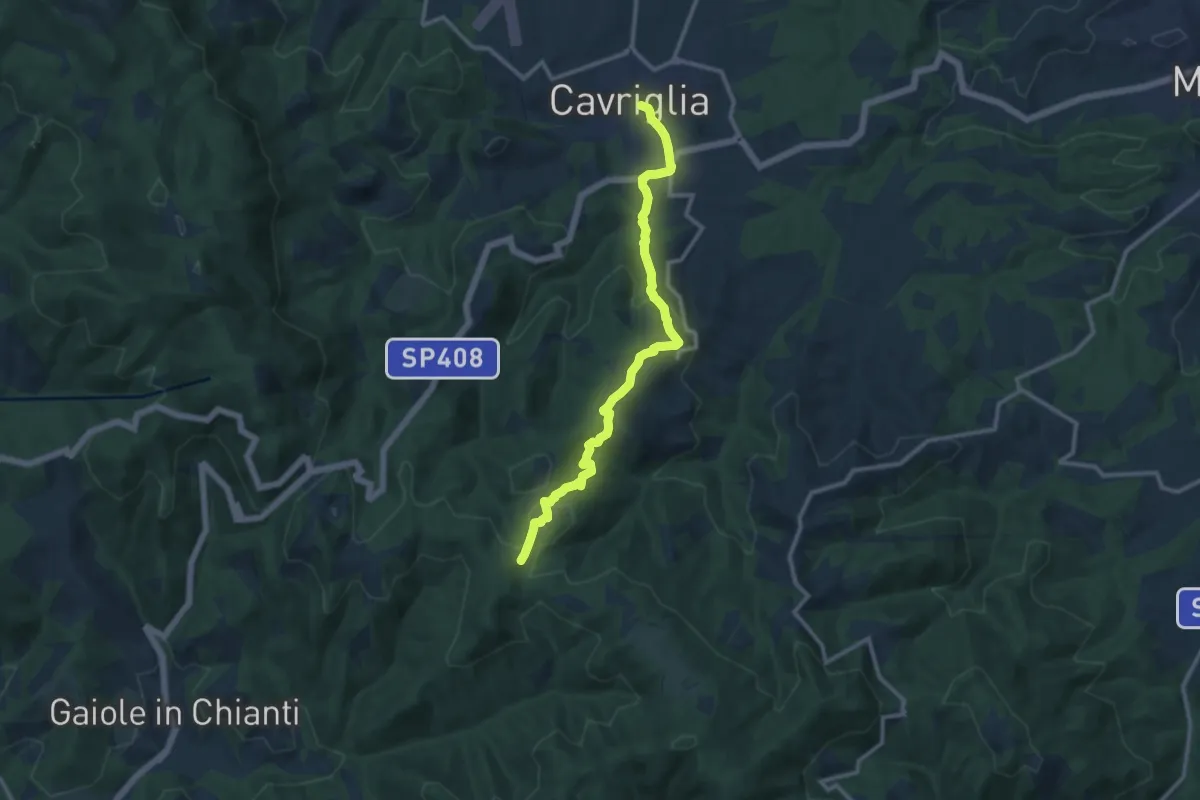
Medium · Trail
Cavriglia – sent.00 Sereto
12.2 km · ↑ 500 m · 3 h 58 min · 8 km away
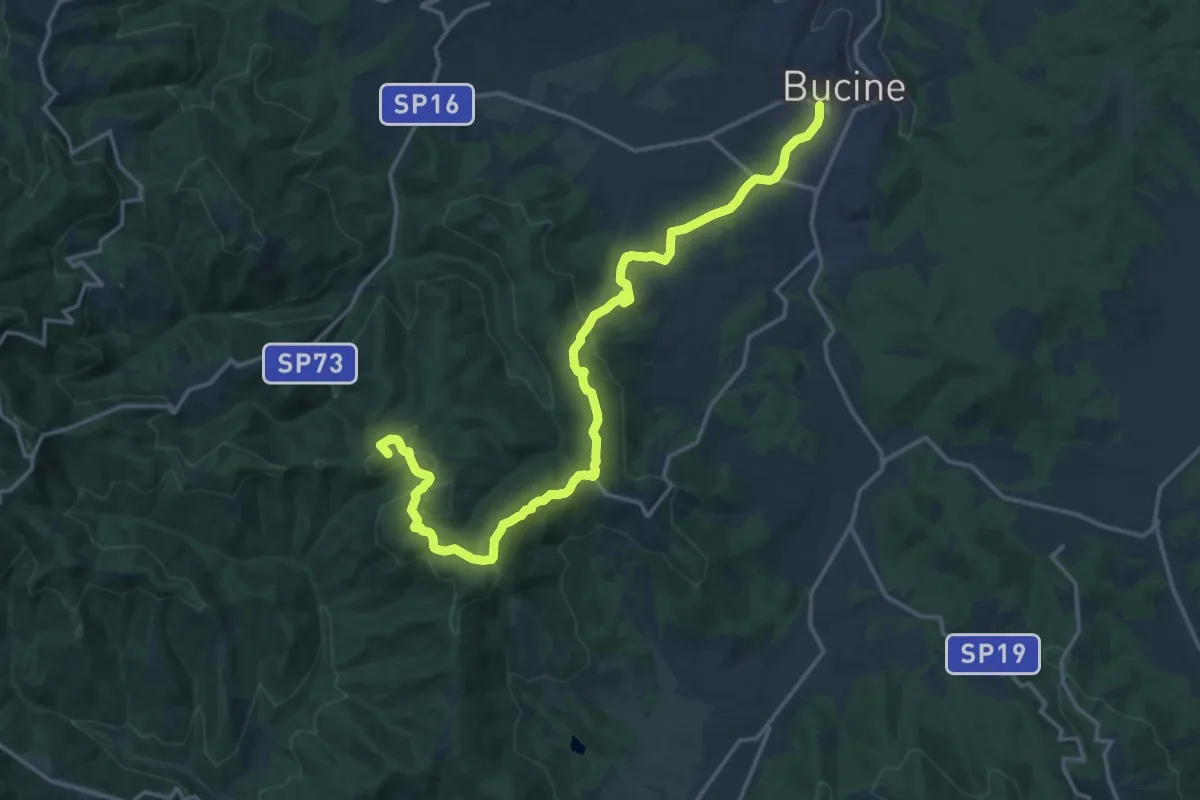
Demanding · Summit
Bucine – Monte Luco
21.1 km · ↑ 575 m · 6 h 13 min · 9 km away
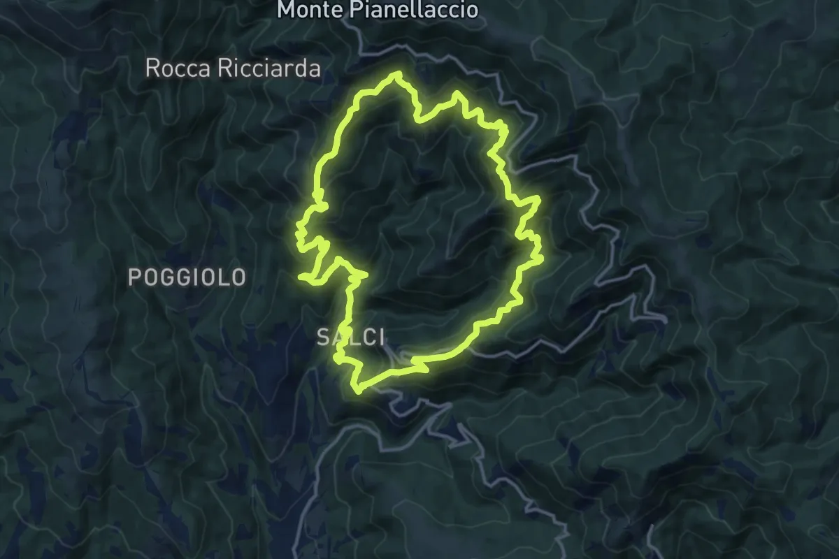
Demanding · Trail
Sentiero della Dondola
15.1 km · ↑ 1134 m · 6 h 14 min · 9 km away
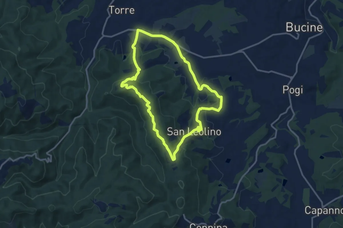
Medium · Trail
La strada del vino
9.5 km · ↑ 247 m · 2 h 54 min · 9 km away
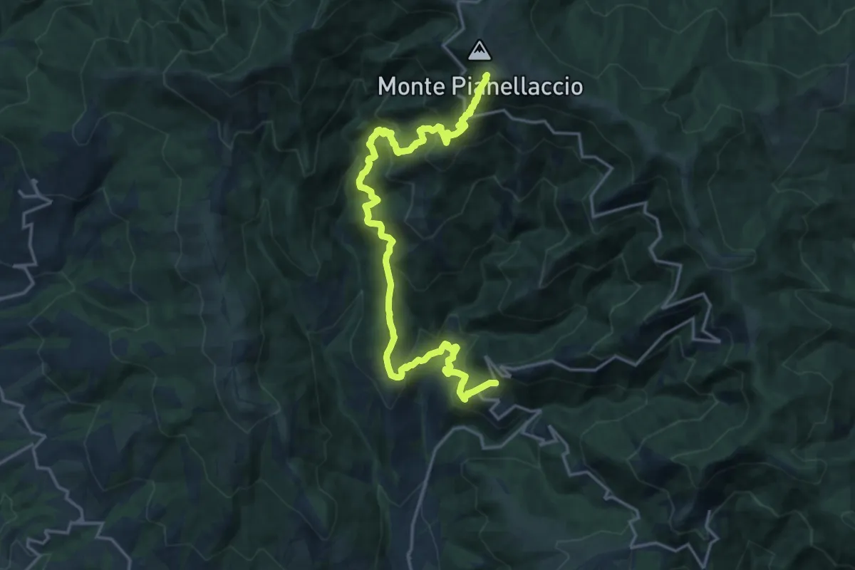
Demanding · Summit
Maestà di Bastiano – Croce di Pratomagno
20.1 km · ↑ 1670 m · 8 h 22 min · 9 km away
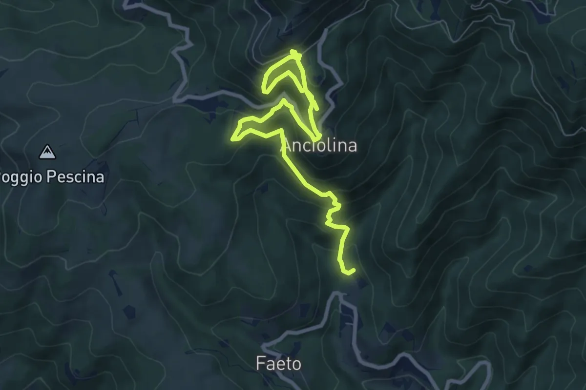
Medium · Trail
ANPI - Cammino partigiano
9.1 km · ↑ 759 m · 3 h 47 min · 9 km away
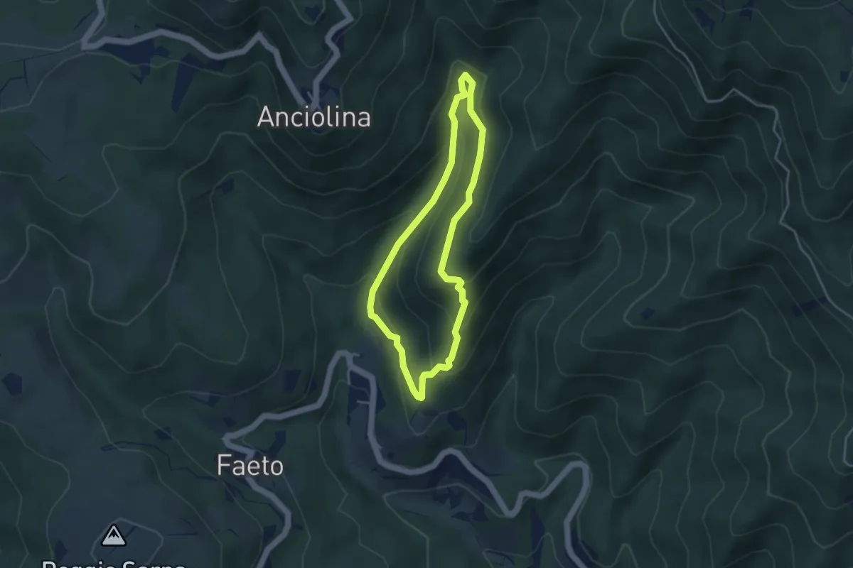
Easy · Trail
ANPI - Cammino partigiano
3.4 km · ↑ 211 m · 1 h 18 min · 9 km away
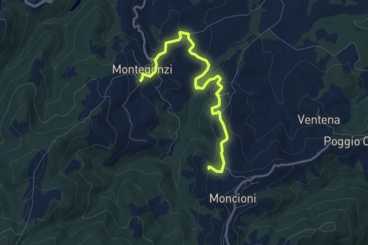
Medium · Trail
Montegonzi sent. 37 – Starnano
8.3 km · ↑ 321 m · 2 h 39 min · 9 km away
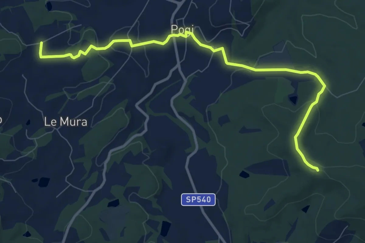
Medium · Trail
Tontenano – Sentiero 127 pressi Castiglion Alberti
9.6 km · ↑ 188 m · 2 h 41 min · 10 km away
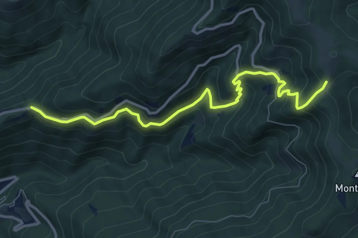
Medium · Trail
Trappola – sent. 00
8.3 km · ↑ 696 m · 3 h 28 min · 10 km away
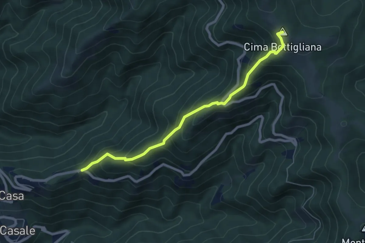
Medium · Summit
Trappola – Sentiero 00 Bottigliana
5.9 km · ↑ 571 m · 2 h 38 min · 10 km away
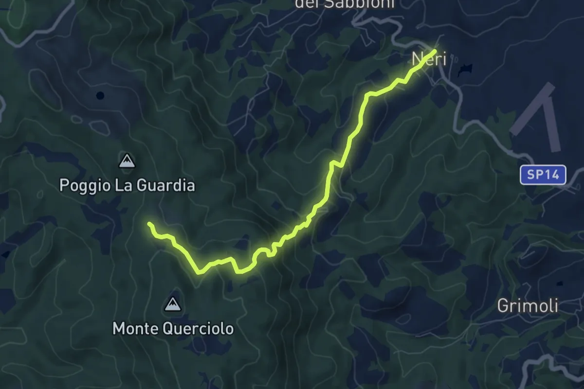
Medium · Trail
Neri – sentiero 00
8.8 km · ↑ 478 m · 3 h 7 min · 10 km away
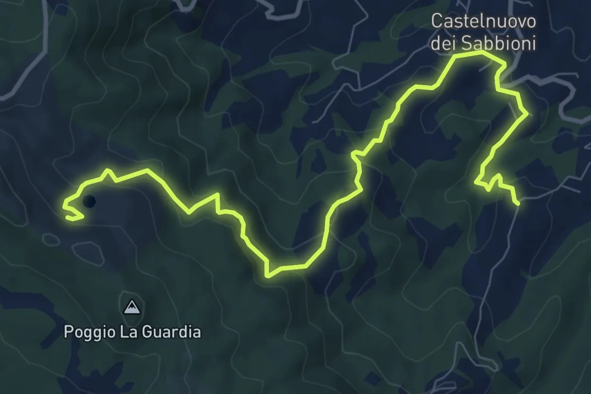
Medium · Trail
San Pancrazio – Parco di Cavriglia
11.0 km · ↑ 614 m · 3 h 56 min · 11 km away
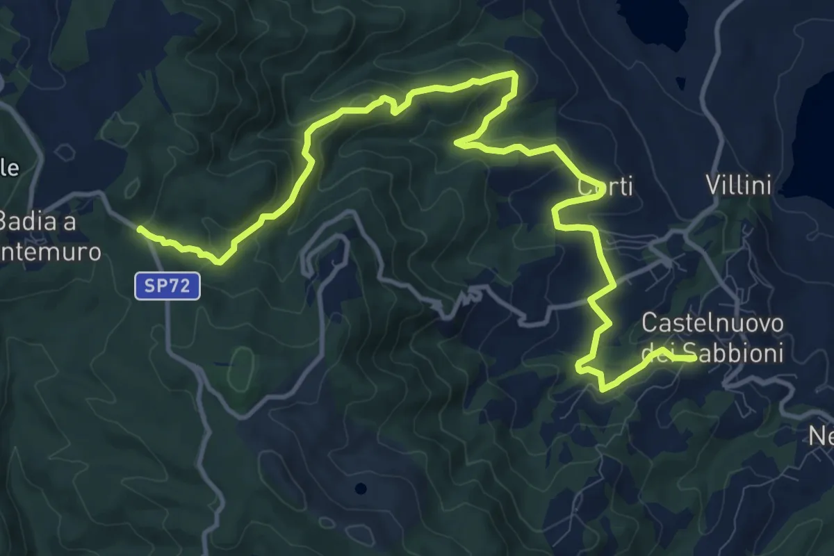
Medium · Trail
Massa dei Sabbioni – Badiaccia a Montemuro
15.5 km · ↑ 594 m · 4 h 56 min · 11 km away
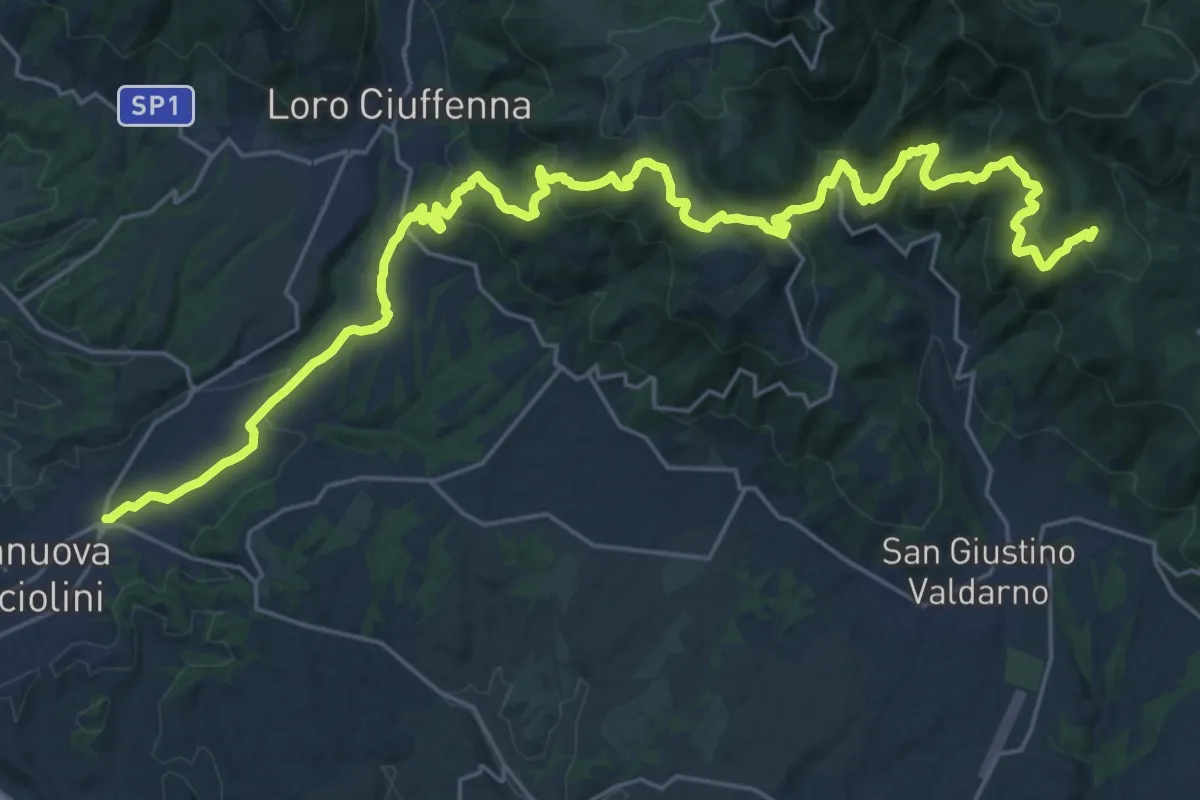
Medium · Trail
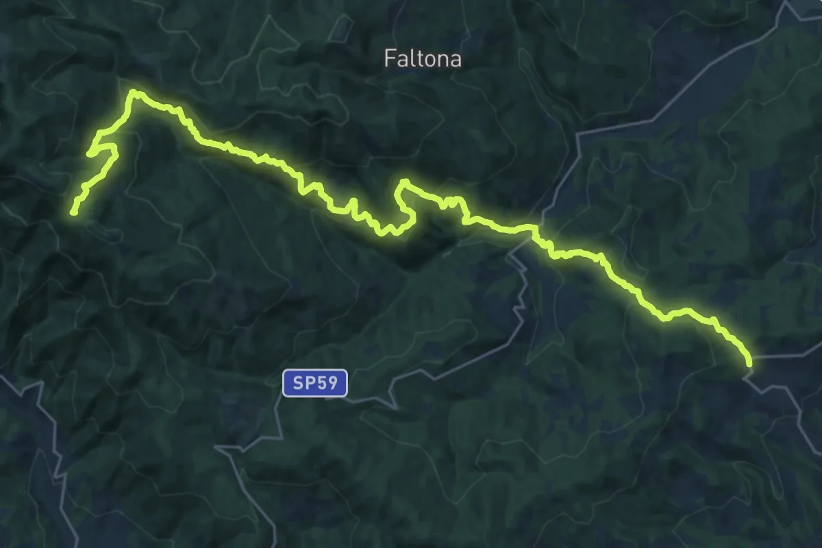
Terranuova Bracciolini – Percorso 900 (Fonte Archese)
17.0 km · ↑ 419 m · 5 h 31 min · 11 km away
Medium · Trail
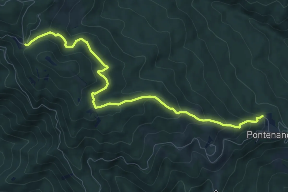
Innesto sentiero 900 presso Migliarino – innesto sentiero 900 presso Abetina dei Bardi
17.1 km · ↑ 611 m · 5 h 55 min · 11 km away
Medium · Trail
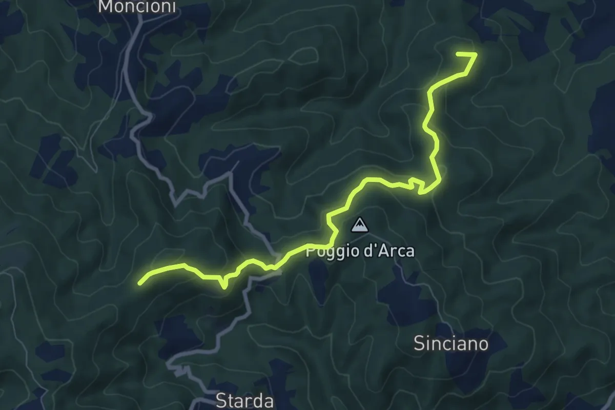
Pontenano – Sentiero 900 presso Abetina dei Bardi
9.6 km · ↑ 540 m · 3 h 26 min · 11 km away
Medium · Summit
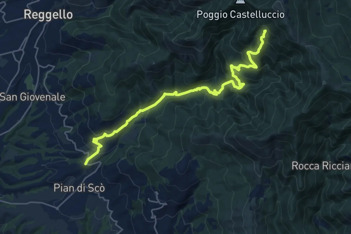
Montevarchi – sentiero 39
8.7 km · ↑ 397 m · 2 h 54 min · 11 km away
Demanding · Summit
sent.33 La Canova – varco di Gastra
18.3 km · ↑ 1066 m · 6 h 38 min · 11 km away
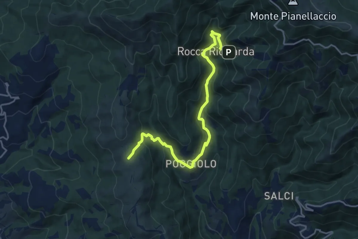
Medium · Trail
Sentiero 21,ex mulino rocca ricciarda – Sentiero 35 crinale di cocollo
12.8 km · ↑ 633 m · 4 h 24 min · 11 km away
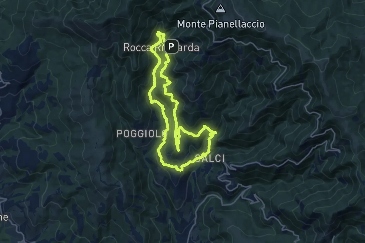
Medium · Trail
Via del Castagno
13.1 km · ↑ 750 m · 4 h 54 min · 11 km away
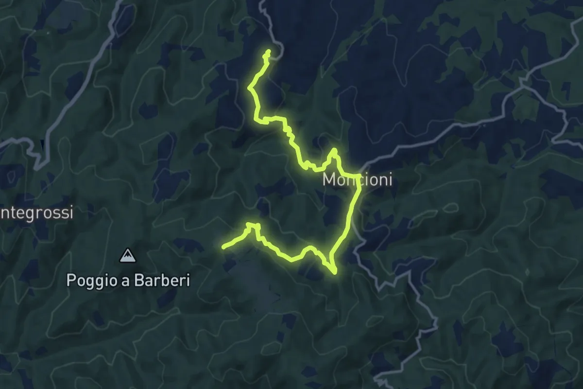
Medium · Trail
Montegonzi – sent. 00
14.4 km · ↑ 653 m · 4 h 49 min · 11 km away
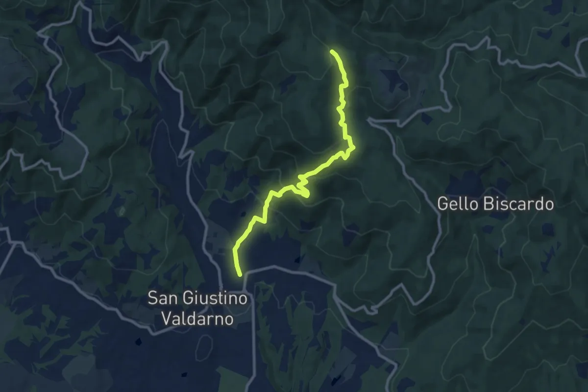
Medium · Trail
San Giustino Valdarno – Sentiero 00
9.2 km · ↑ 542 m · 3 h 21 min · 12 km away
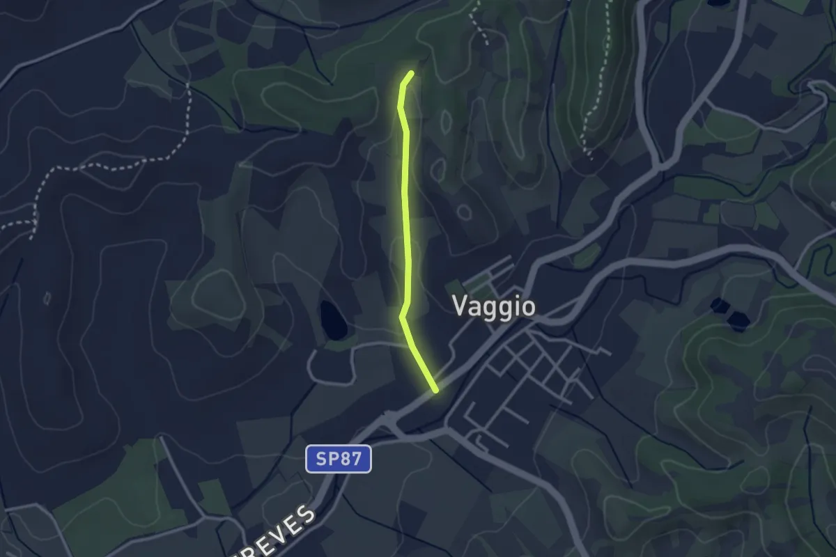
Easy · Trail
Vaggio – Itinerario R25
2.1 km · ↑ 42 m · 36 min · 12 km away
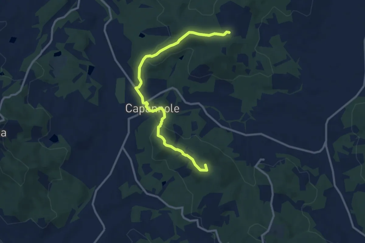
Medium · Summit
Montalto – Percorso 125 (pressi Badia Agnano)
9.0 km · ↑ 294 m · 2 h 46 min · 12 km away
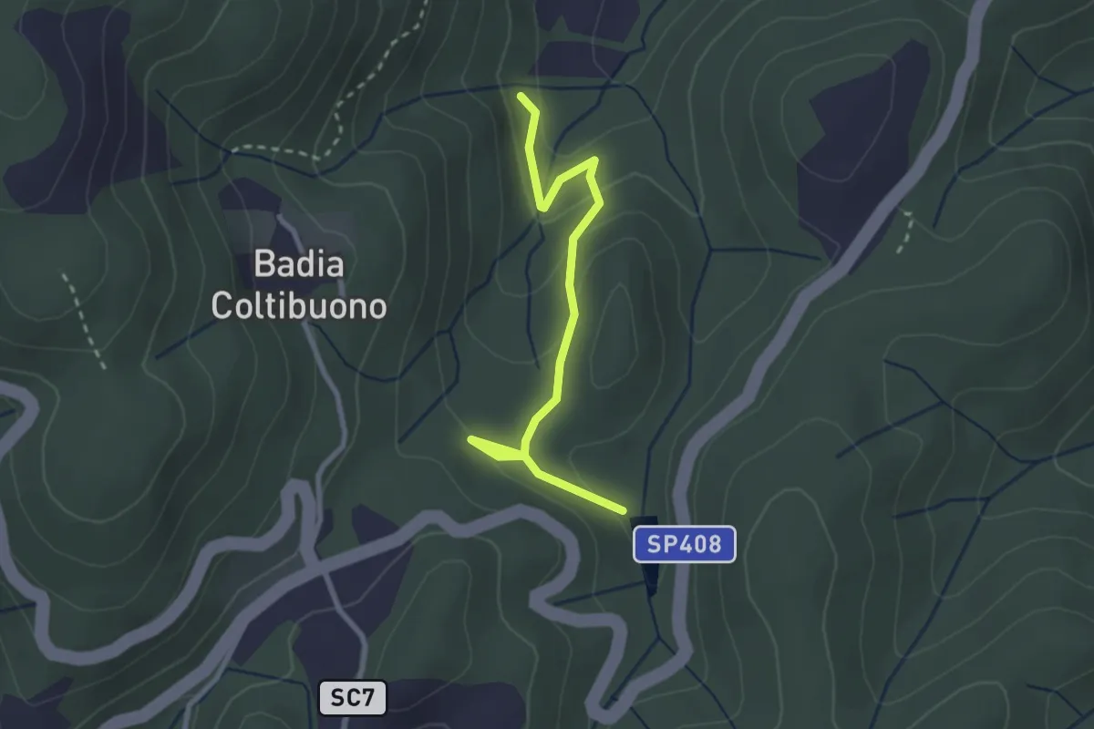
Easy · Trail
Trekking tra i castelli 7C (COLTIBUONO)
2.8 km · ↑ 129 m · 57 min · 12 km away
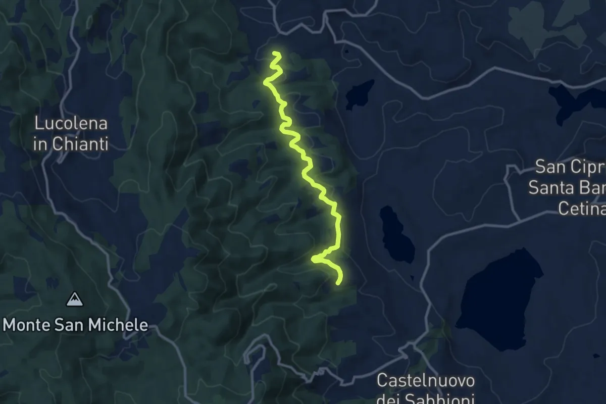
Medium · Trail
Gaville – San Martino
10.5 km · ↑ 257 m · 3 h 2 min · 12 km away
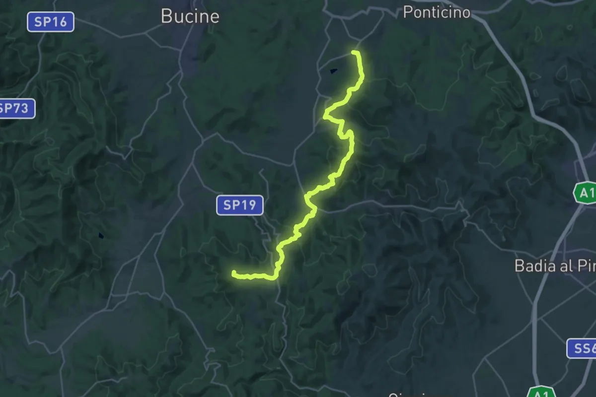
Demanding · Summit
Pergine Valdarno – Ambra
26.5 km · ↑ 1033 m · 8 h 30 min · 12 km away
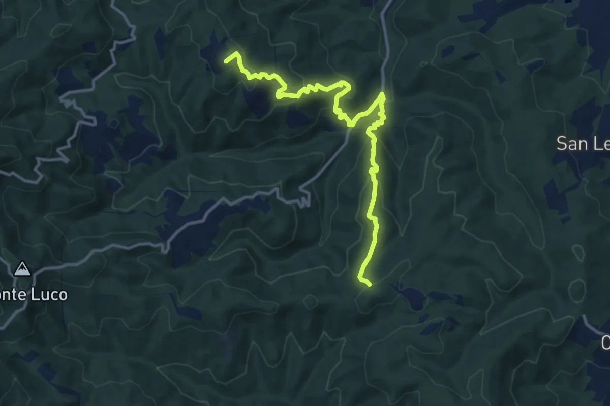
Medium · Summit
sent. 45 Poggio Civitella – sent. 00 Aquila
11.9 km · ↑ 669 m · 4 h 15 min · 12 km away
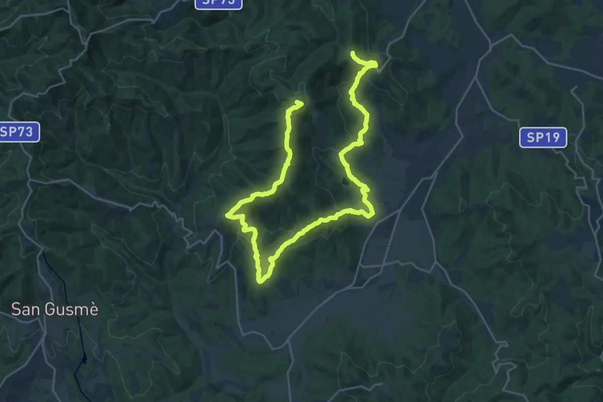
Demanding · Summit
sent. 45 P. Marianna – sent. 45 Monte di Rota
30.5 km · ↑ 1210 m · 9 h 50 min · 12 km away
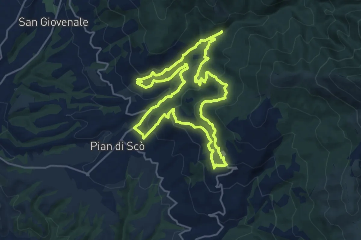
Medium · Trail
Sentiero della Memoria
12.4 km · ↑ 500 m · 4 h 12 min · 12 km away
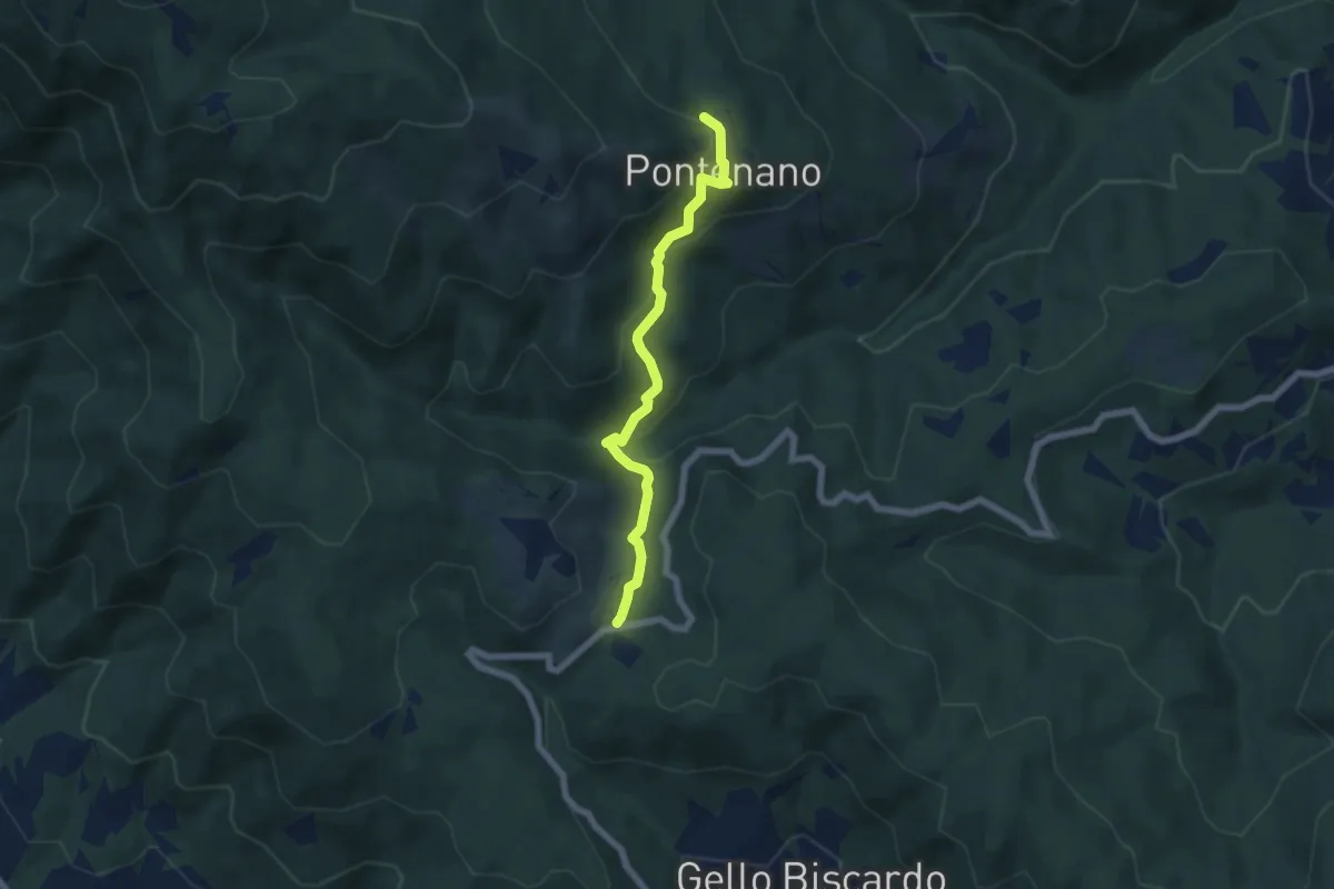
Easy · Trail
Pontenano – Sentiero 00 presso Passo della Crocina
6.1 km · ↑ 290 m · 2 h 4 min · 12 km away
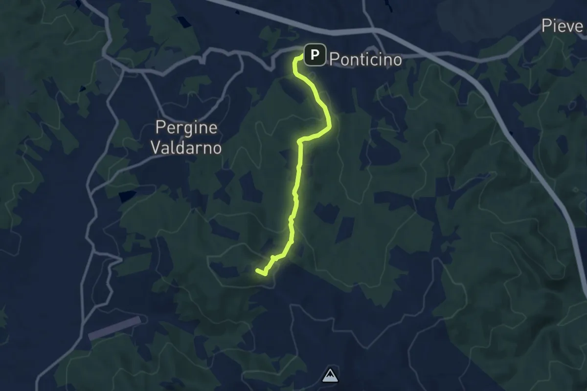
Medium · Summit
Montelucci sent 105 – Ponticino
8.5 km · ↑ 285 m · 2 h 37 min · 13 km away
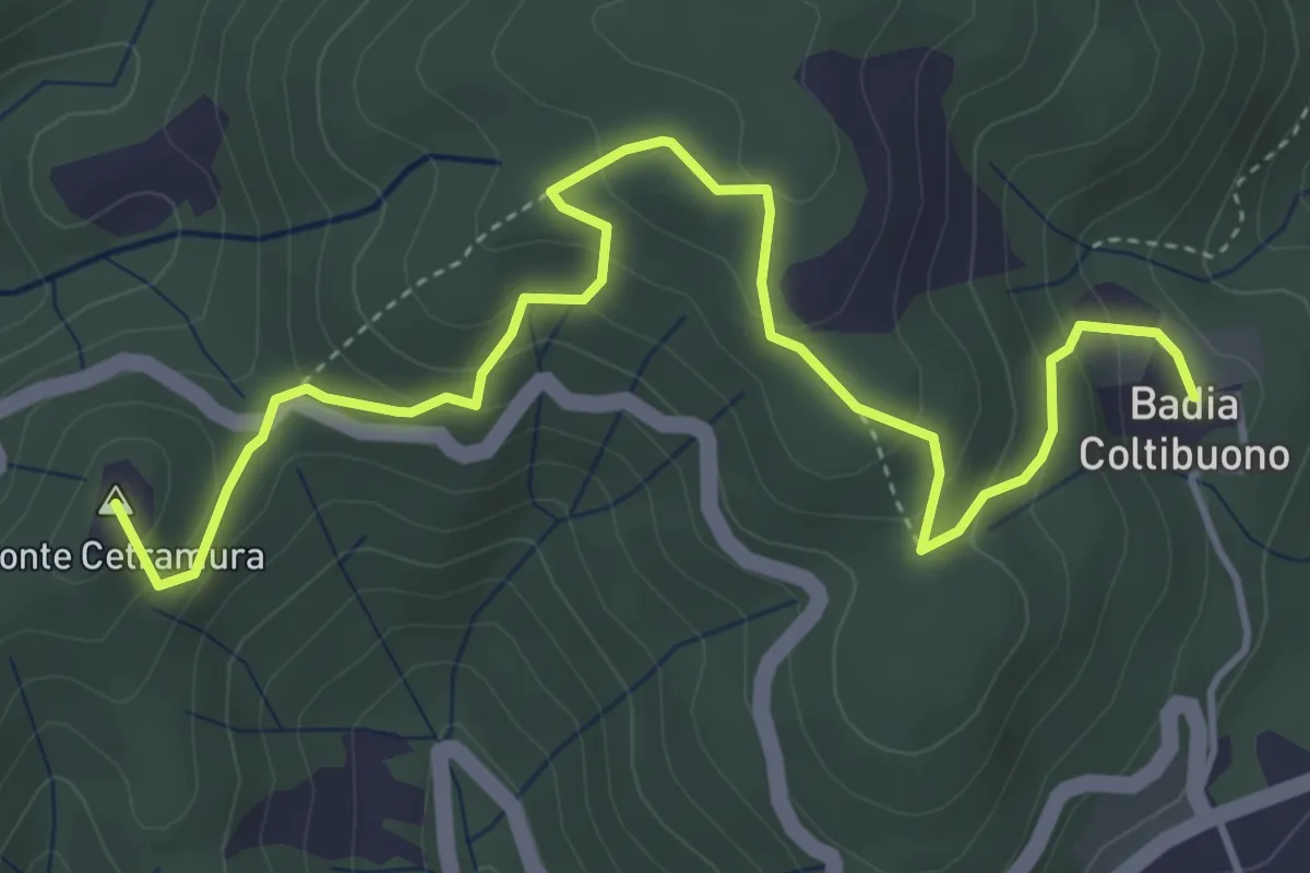
Medium · Summit
S. Donato in Perano – Badia a Coltibuono
5.6 km · ↑ 335 m · 2 h 3 min · 13 km away
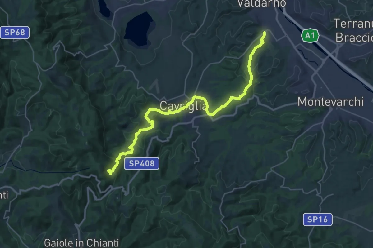
Medium · Trail
San Giovanni Valdarno – Badia a Coltibuono
13.4 km · ↑ 153 m · 3 h 55 min · 13 km away