Trails near Tortona
25 hikes starting within 15 km, nearest first.
Nearest first
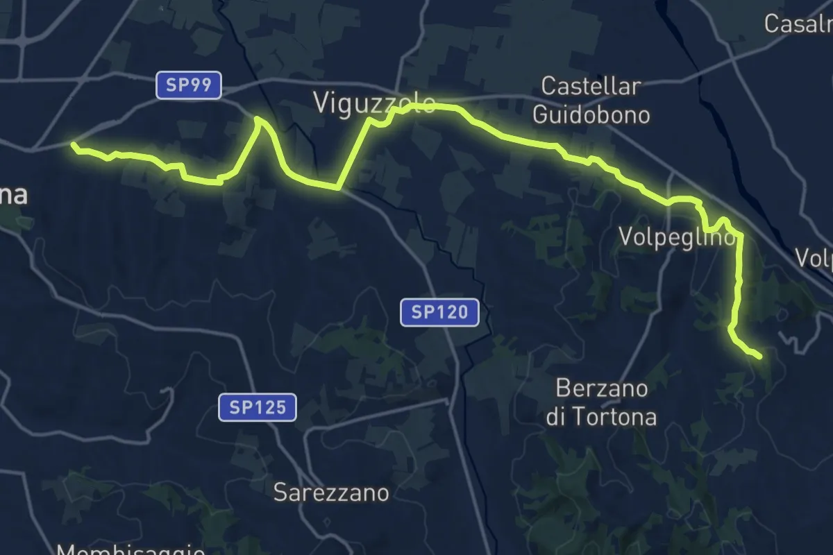
Demanding · Summit
Tortona – Volpedo, Ponte sul Curone, bivio ALA101-ALA102
22.2 km · ↑ 322 m · 5 h 56 min · 1 km away
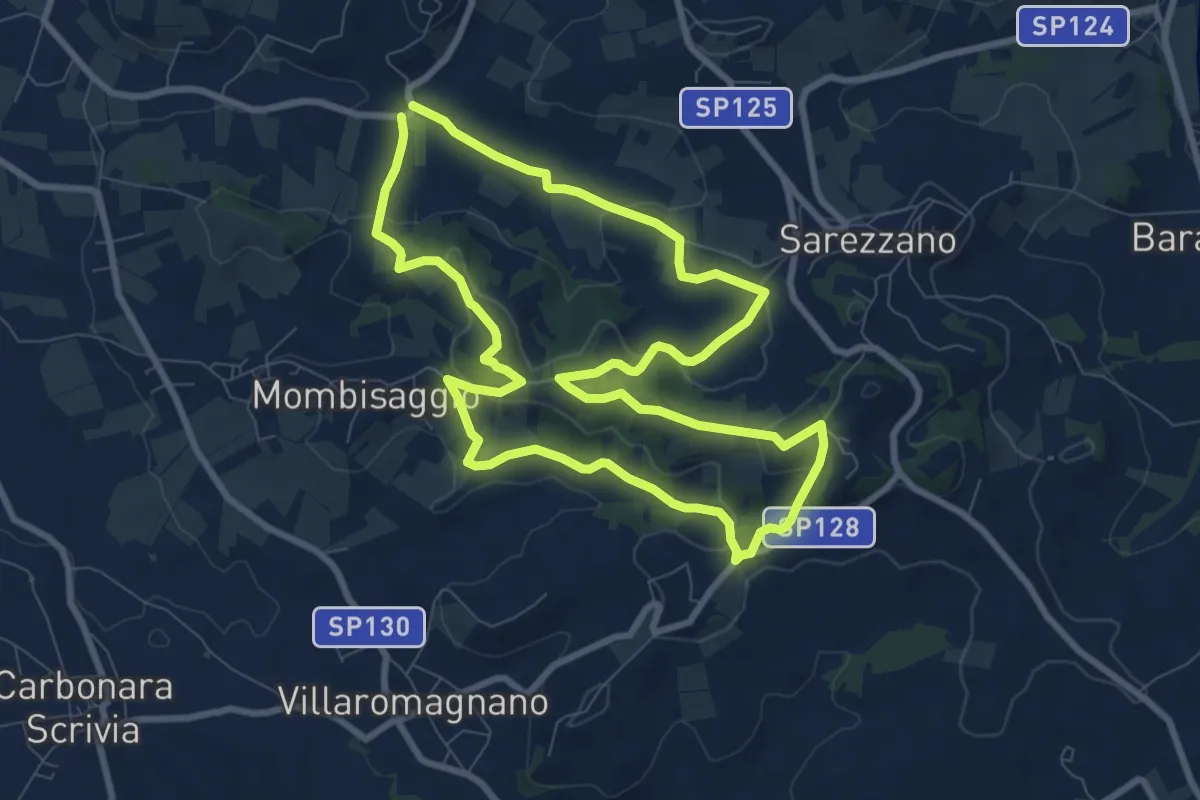
Medium · Summit
Anello del Gambera
8.8 km · ↑ 270 m · 2 h 48 min · 3 km away
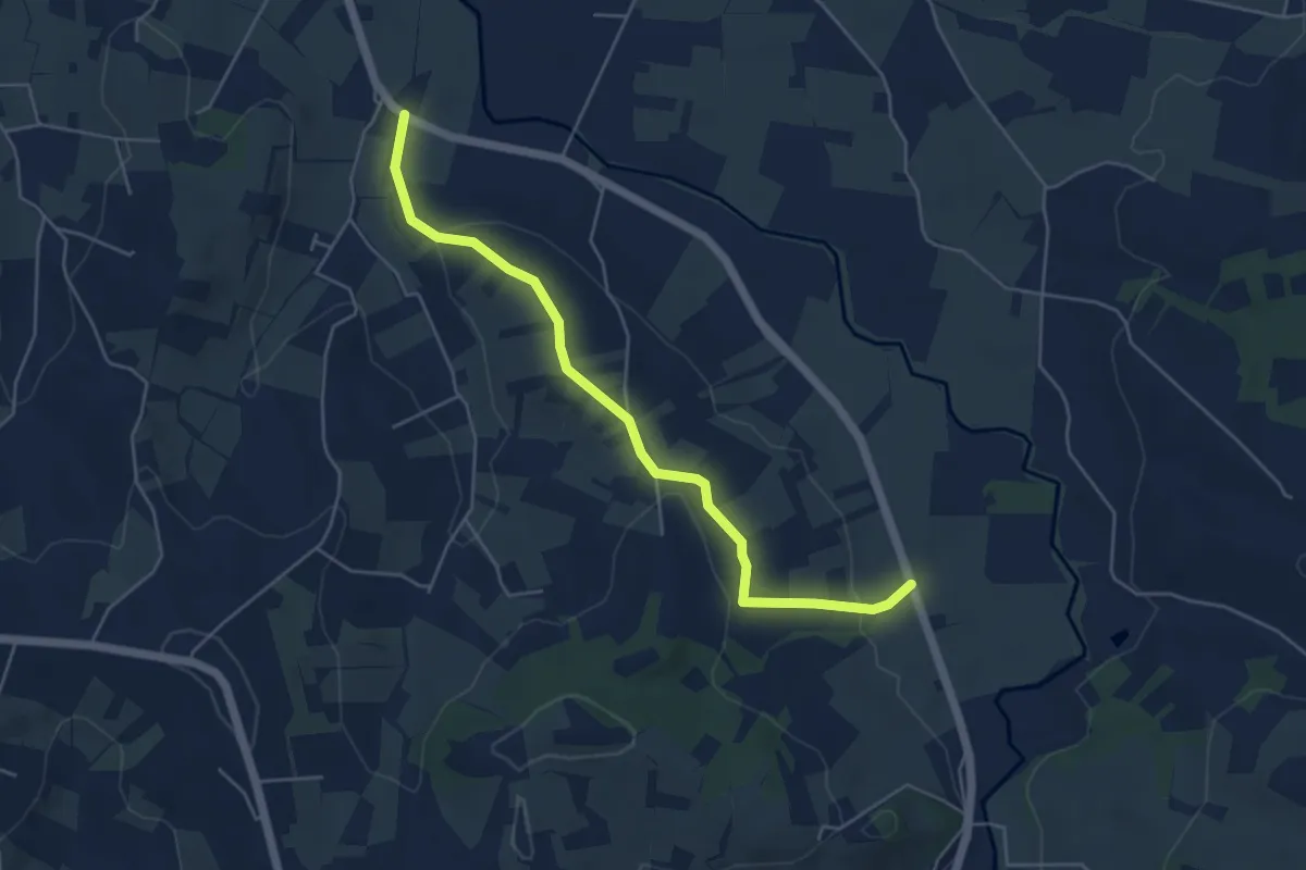
Easy · Trail
Sentiero di San Bartolomeo
5.4 km · ↑ 123 m · 1 h 32 min · 5 km away
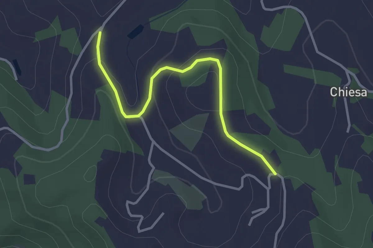
Easy · Trail
Sentiero del mandorlo centenario
2.9 km · ↑ 75 m · 51 min · 8 km away
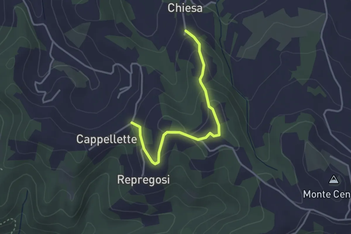
Easy · Trail
Borgata Chiesa – Bivio ALA4152-ALA152B, Cascina Cappelletta
3.1 km · ↑ 133 m · 1 h 1 min · 8 km away
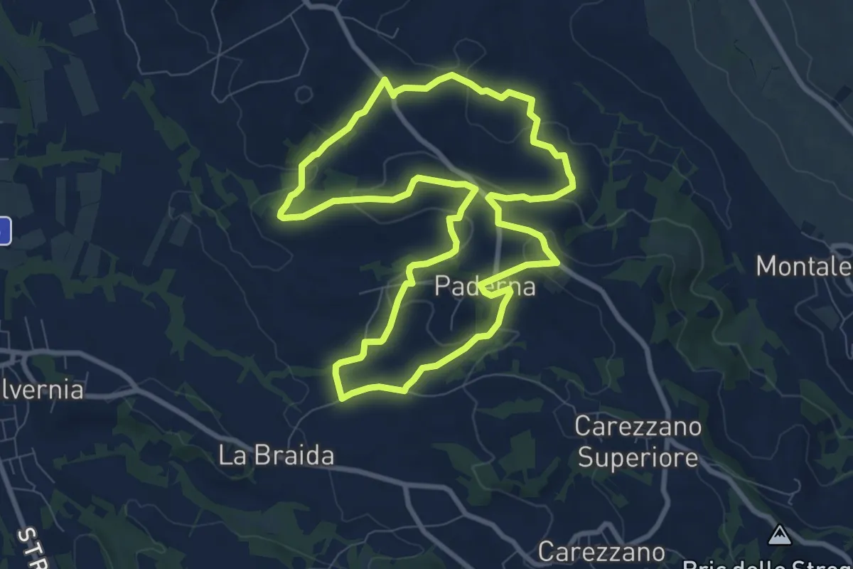
Medium · Trail
Anello di Paderna
8.8 km · ↑ 222 m · 2 h 41 min · 9 km away
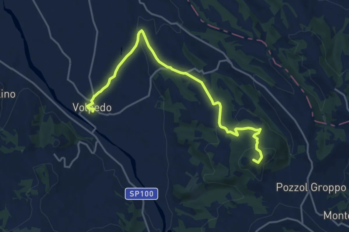
Medium · Summit
Anello del Monte Brienzone
11.9 km · ↑ 340 m · 3 h 32 min · 9 km away
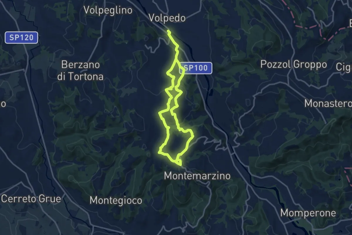
Demanding · Trail
Intorno al Poggio di Monleale
19.6 km · ↑ 762 m · 6 h 17 min · 9 km away
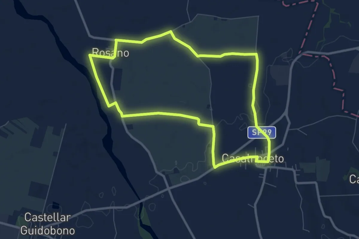
Easy · Trail
Anello Ambrogio Spinola
7.4 km · ↑ 30 m · 1 h 54 min · 9 km away
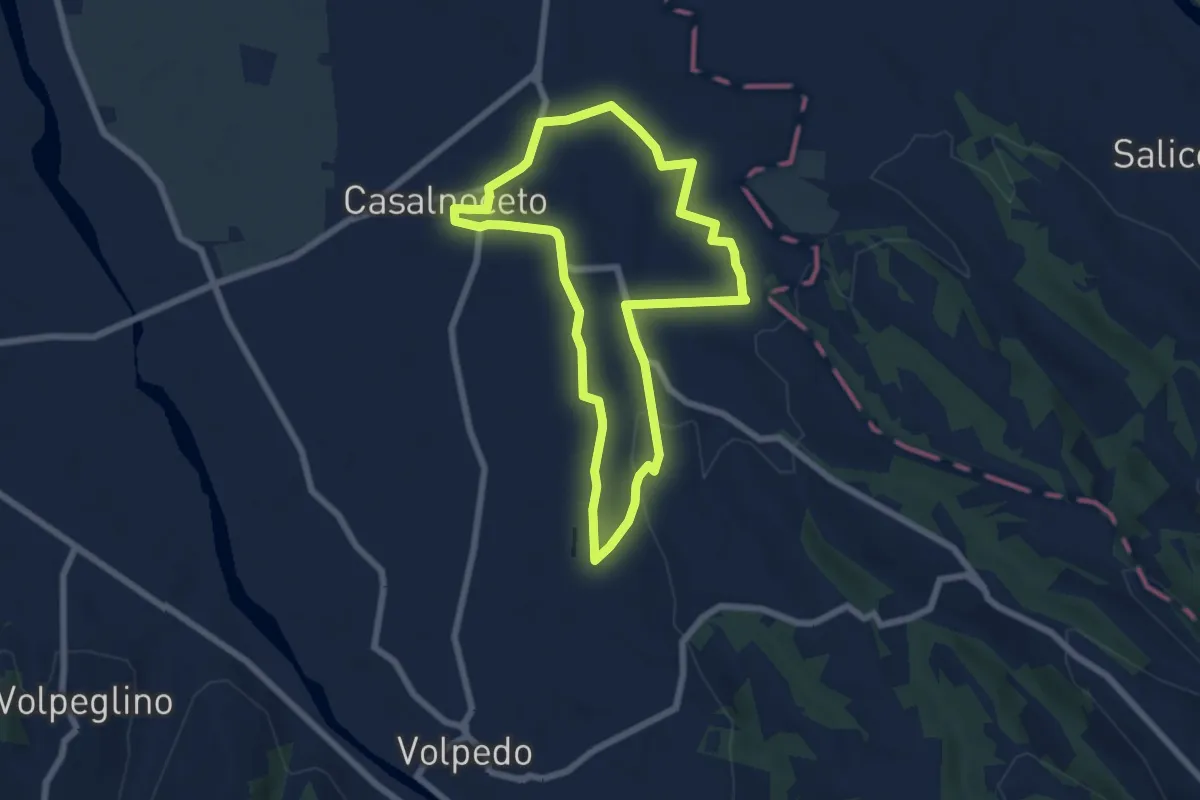
Easy · Trail
Sentiero Pom a Moj
6.4 km · ↑ 73 m · 1 h 45 min · 10 km away
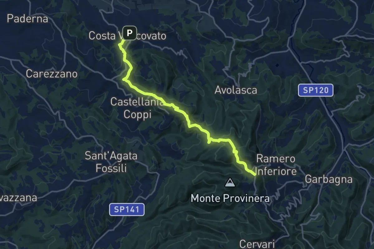
Medium · Summit
Costa Vescovato – Garbagna, presso Fraz. San Vito, bivio ALA124-ALA139
14.6 km · ↑ 568 m · 4 h 40 min · 10 km away
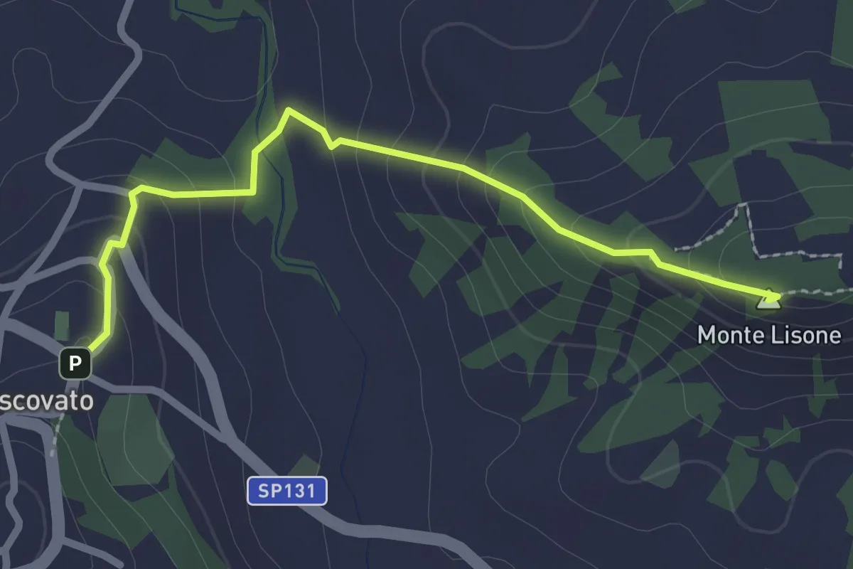
Easy · Summit
Costa Vescovato, bivio ALA124-ALA118A – Sarizzola, bivio ALA118-ALA118A
2.4 km · ↑ 150 m · 54 min · 10 km away
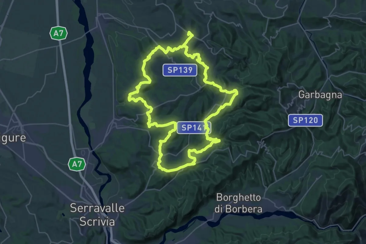
Demanding · Summit
Carezzano, località La Braida – Carezzano, Frazione Ripale, bivio ALA145
58.0 km · ↑ 2210 m · 18 h 30 min · 11 km away
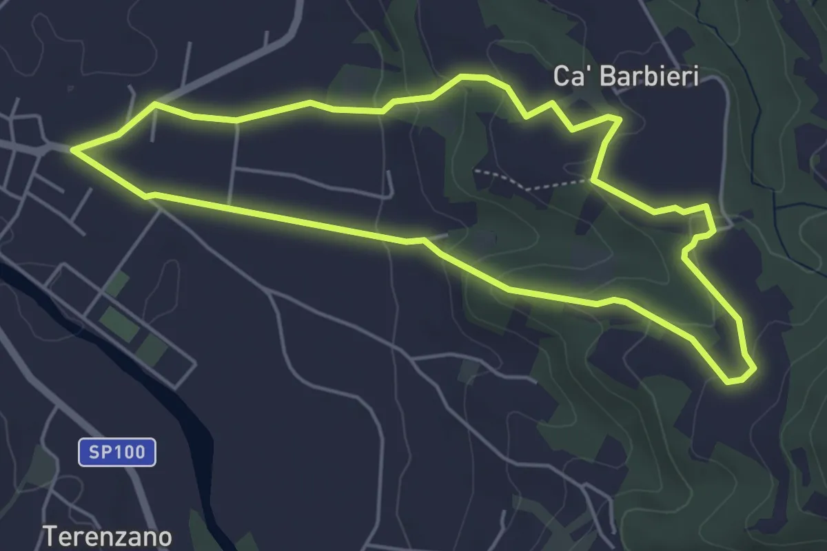
Easy · Trail
La Monta' di Bogino (Volpedo)
4.9 km · ↑ 138 m · 1 h 32 min · 11 km away
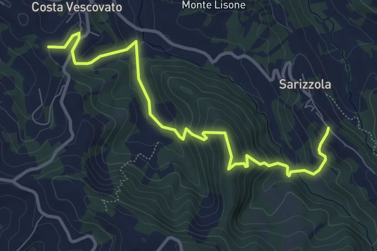
Medium · Trail
Costa Vescovato, bivio ALA124-ALA118B – Sarizzola, bivio ALA118-ALA118B
7.5 km · ↑ 421 m · 2 h 41 min · 12 km away
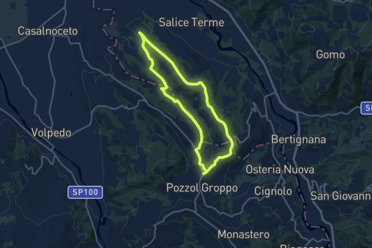
Medium · Trail
Anello dell'Alta Collina
9.6 km · ↑ 209 m · 2 h 51 min · 12 km away
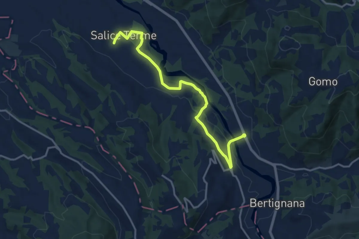
Medium · Trail
Godiasco – Salice Terme
10.2 km · ↑ 123 m · 2 h 41 min · 13 km away
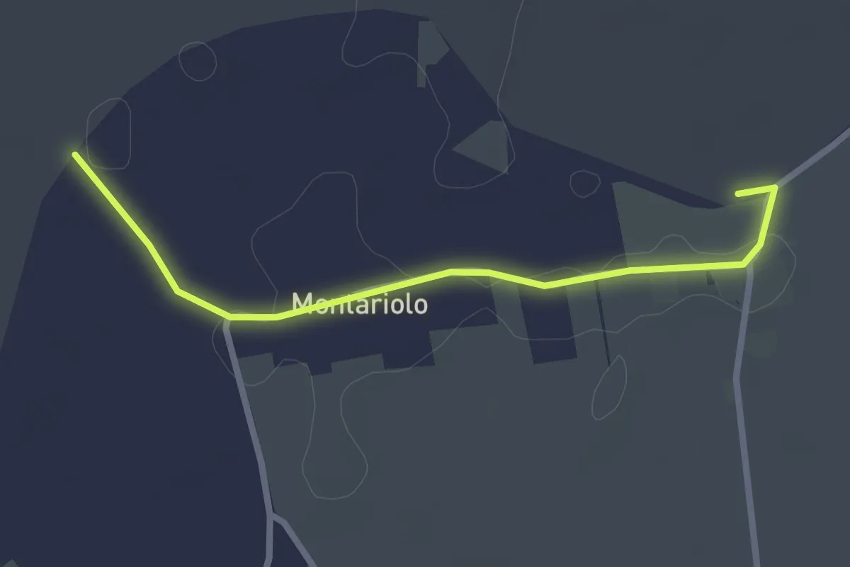
Easy · Trail
Bivio EALA616-EALA616A – Bivio EALA616A-EALA616
2.5 km · ↑ 0 m · 36 min · 13 km away
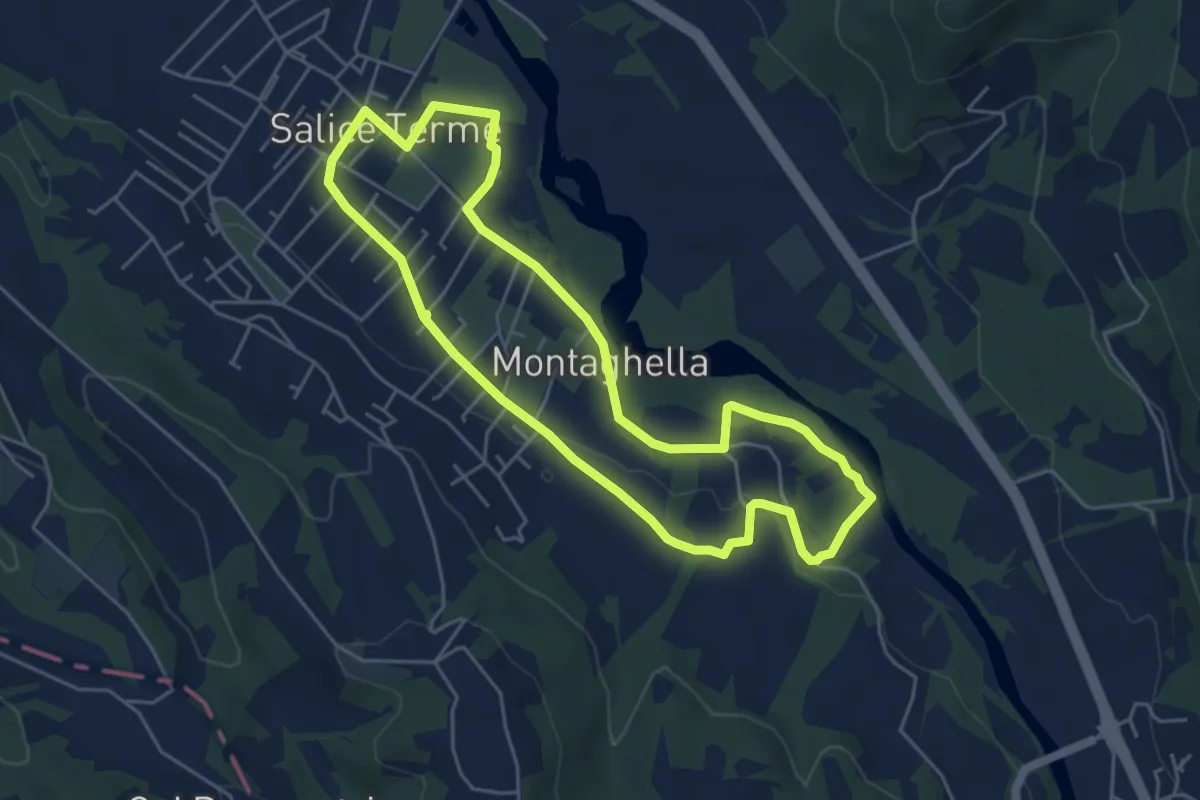
Easy · Trail
Anello di Salice Terme
5.2 km · ↑ 50 m · 1 h 24 min · 13 km away
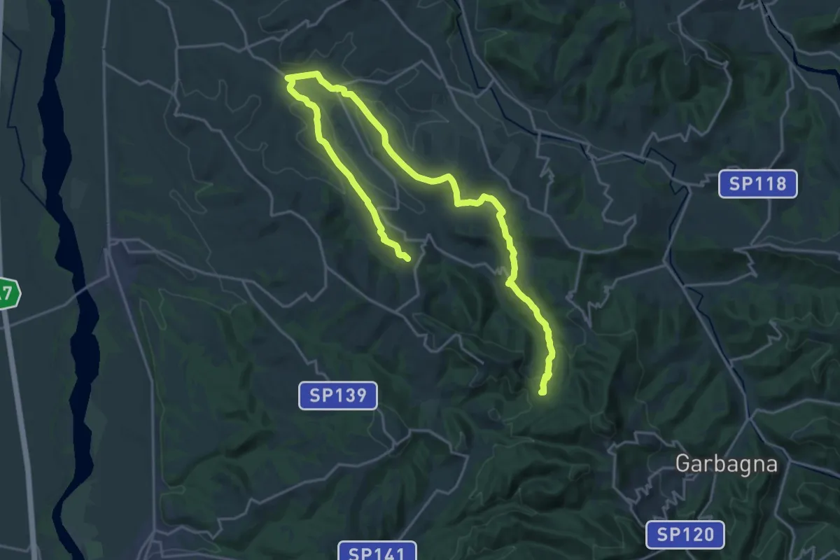
Demanding · Trail
Le sorgenti del torrente Ossona
27.6 km · ↑ 630 m · 7 h 53 min · 14 km away
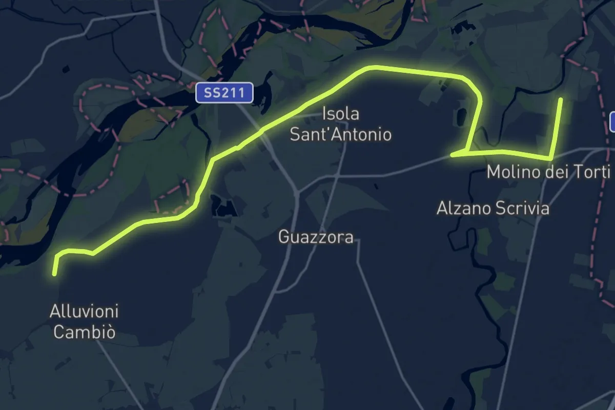
Demanding · Trail
Molino dei Torti – Alluvioni cambiò
24.7 km · ↑ 21 m · 5 h 53 min · 14 km away
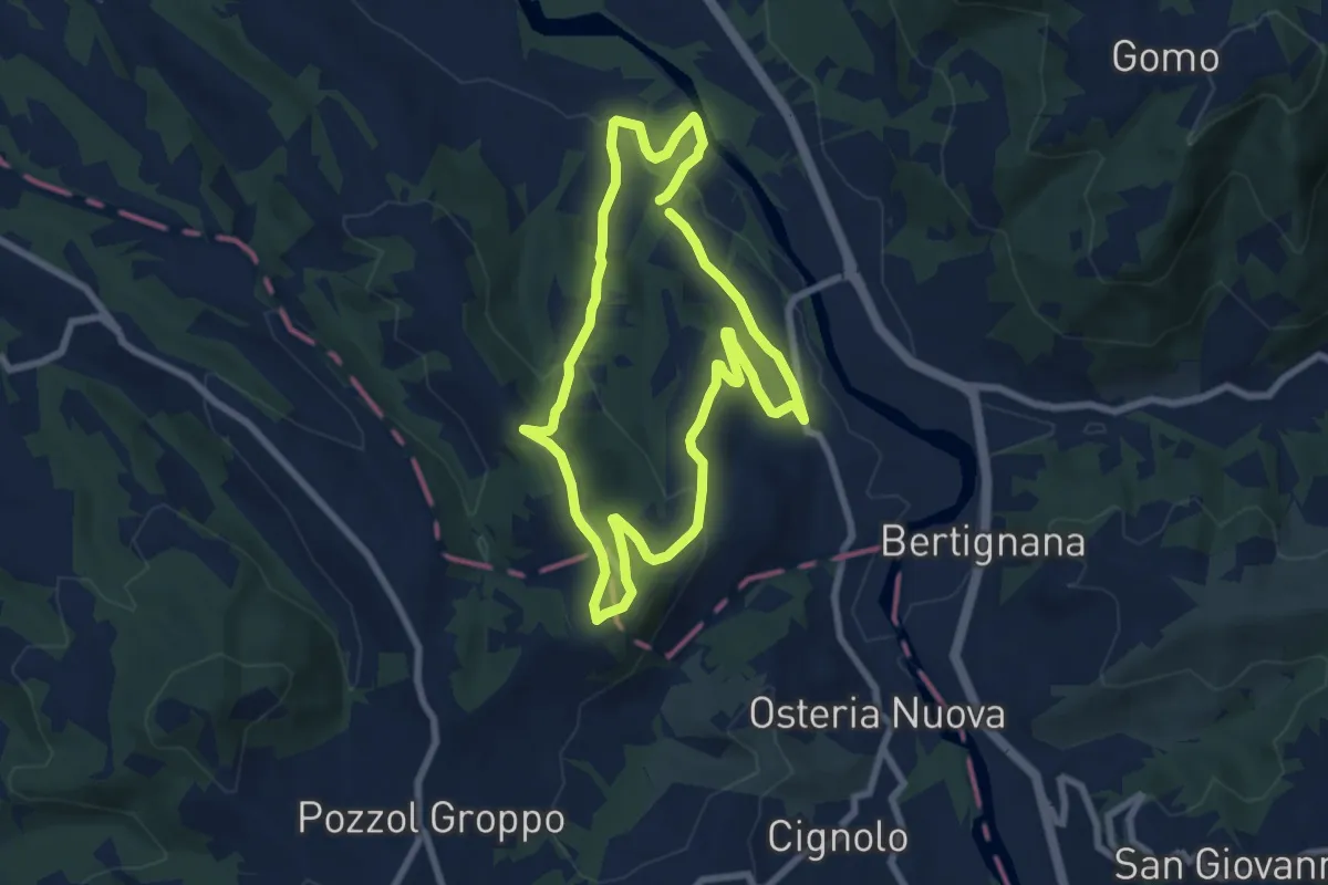
Easy · Trail
Anello della Collina
7.3 km · ↑ 202 m · 2 h 16 min · 14 km away
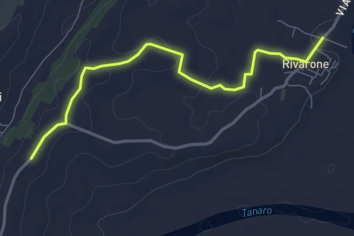
Easy · Trail
Rivarone, bivio ALA607-ALA607C-ALA615 – Bivio ALA607-ALA607C
6.1 km · ↑ 78 m · 1 h 36 min · 15 km away
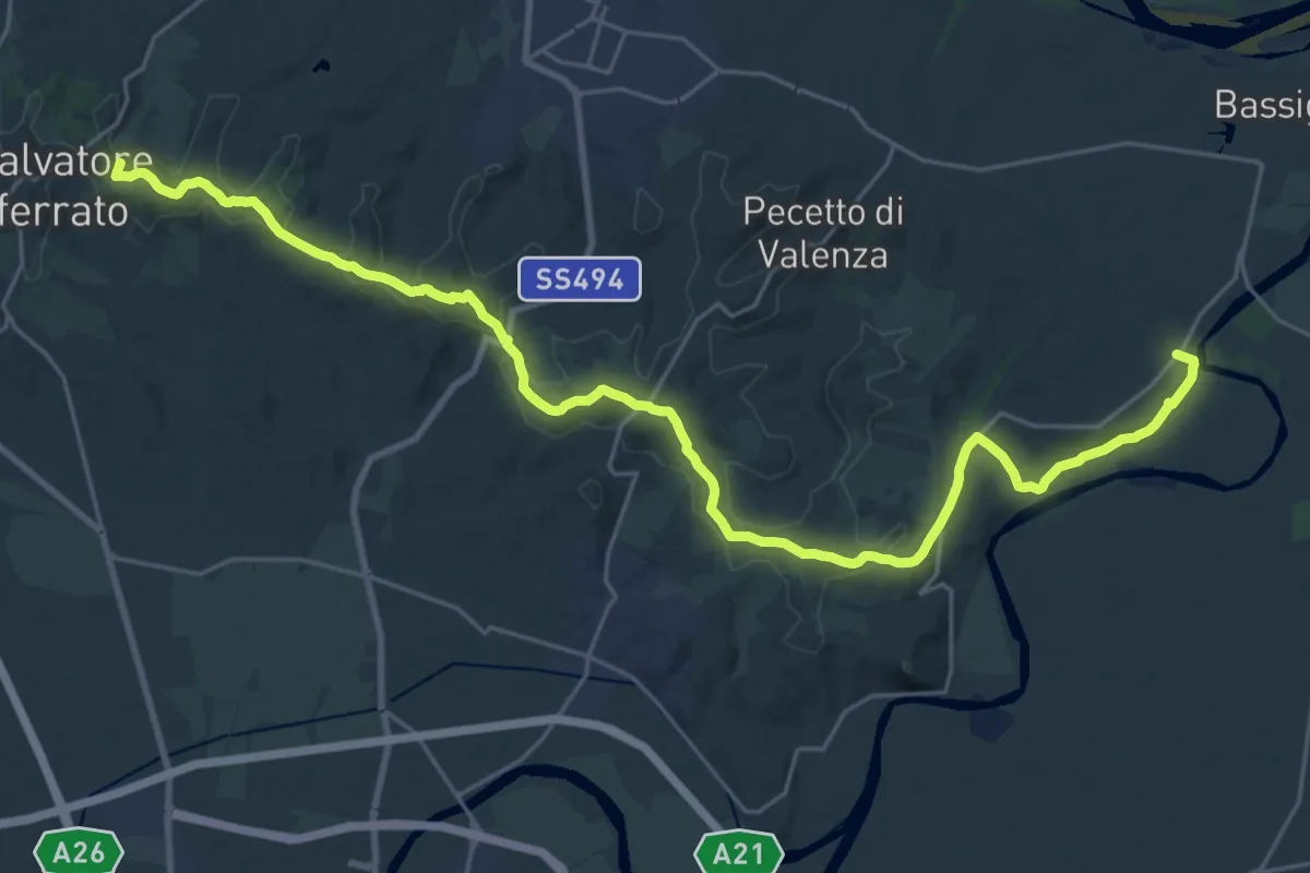
Medium · Trail
Madonna del Pozzo, bivio ALA607-ALA602 – Rivarone, bivio ALA615-ALA613-ALA607
15.6 km · ↑ 335 m · 4 h 34 min · 15 km away
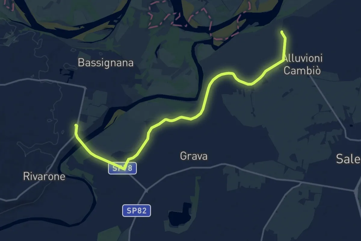
Medium · Trail
Alluvioni cambio', C.na Grossa, bivio ALA160-ALA616 – Bassignana, bivio ALA615-ALA615B-ALA616 presso Ponte D'Assi
15.8 km · ↑ 37 m · 3 h 48 min · 15 km away